RT Length: 6.65 miles
Elevation Gain: 2084’
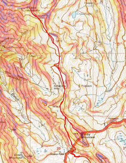
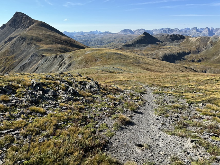
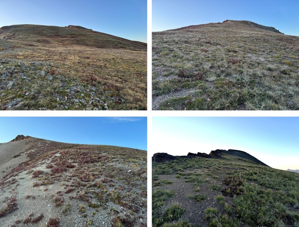
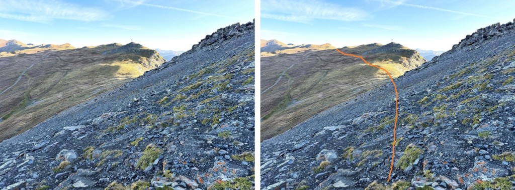
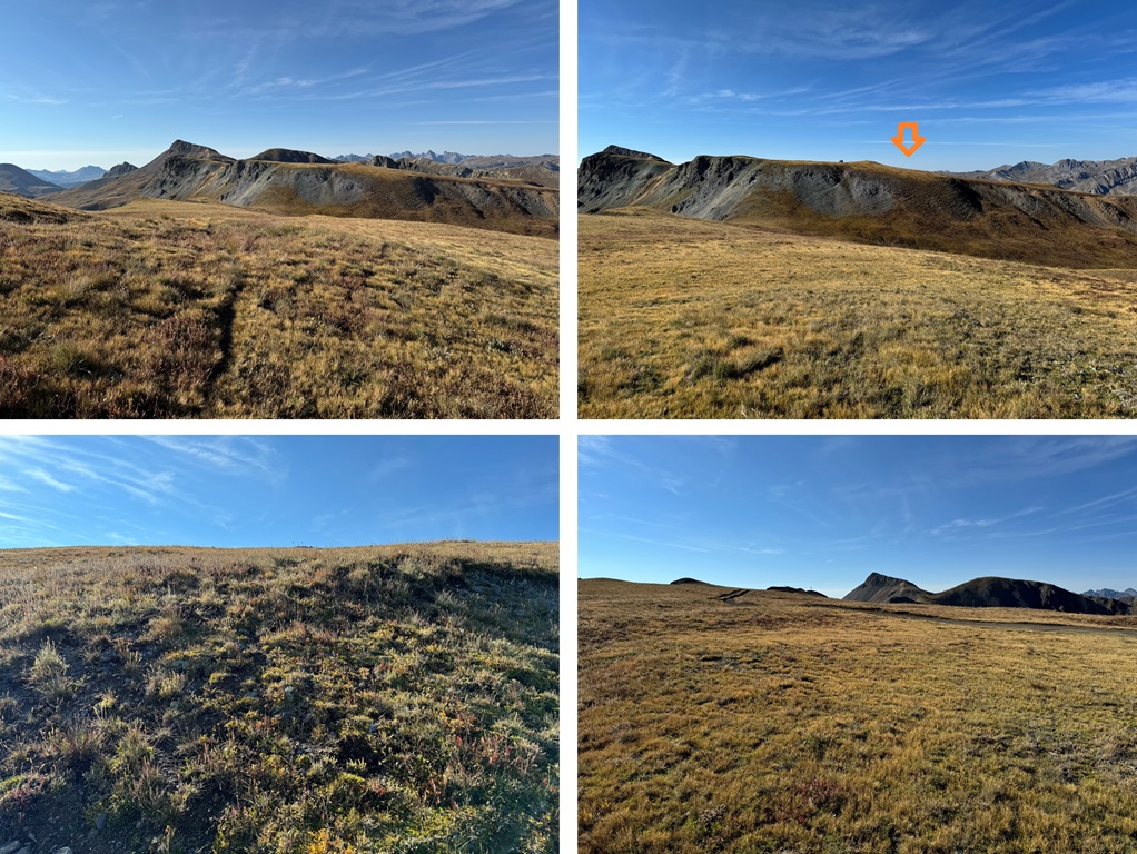
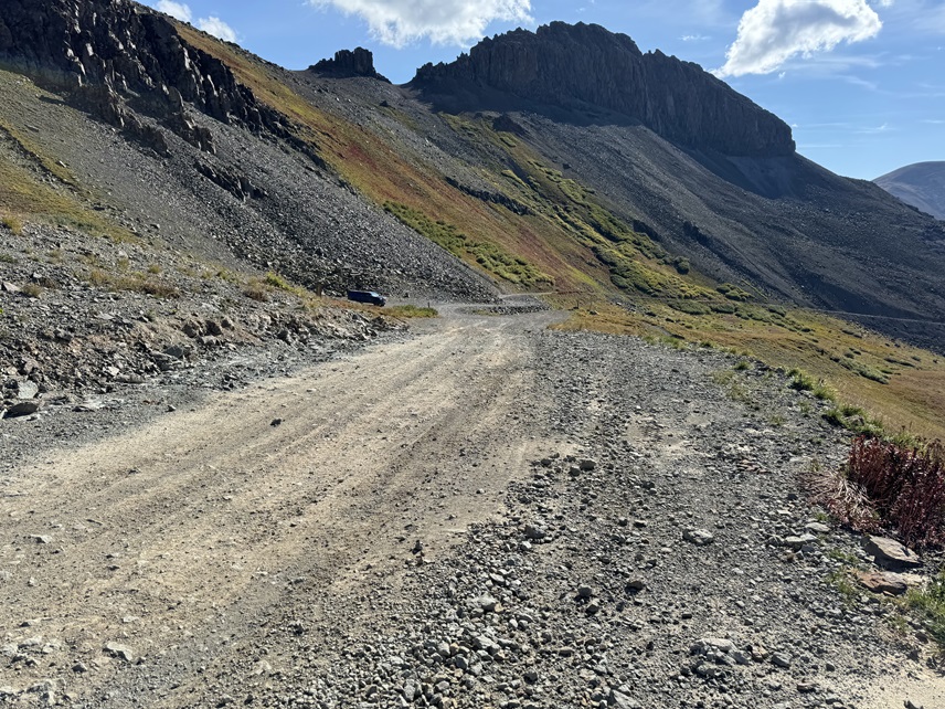
From my parking spot at Stony Pass I was on the trail at 6:30am, following the 4WD road west until the tundra met the rocks, and I was able to find a game trail that picked up on the other side. This trail starts out difficult to find, then becomes a solid trail for most of the hike. Here’s what the route looks like from below:
I followed this trail for .85 miles, until I made it to the ridge


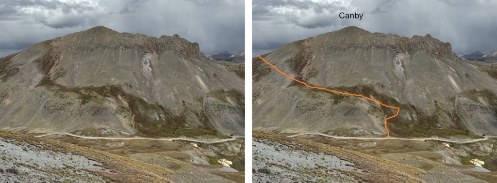
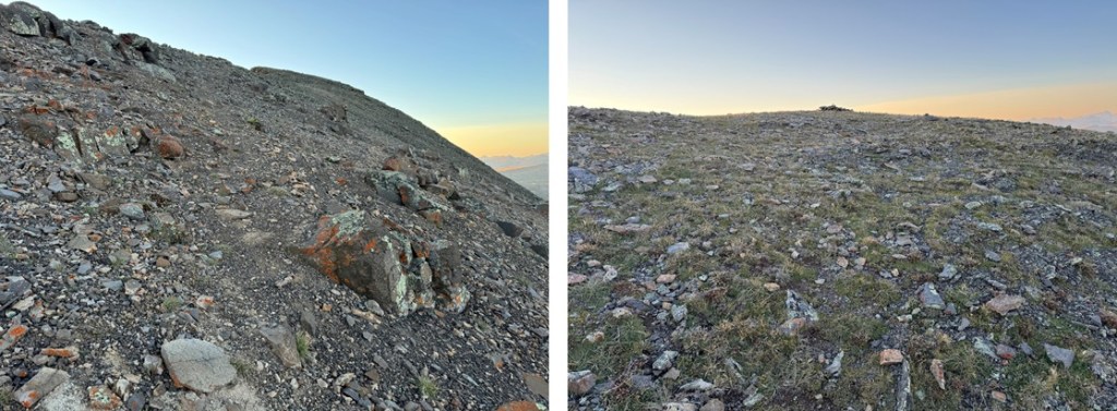
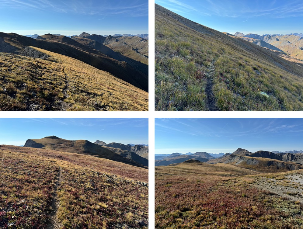
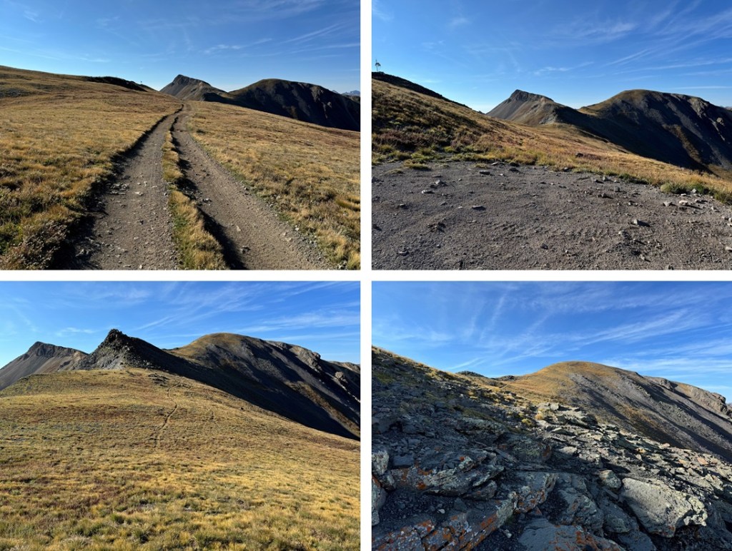
At about 13085’ I hit a saddle, turned right, and followed the ridge to the summit. This was class 2, but there are a few social trails in the area. I just kept following the ridge southeast.
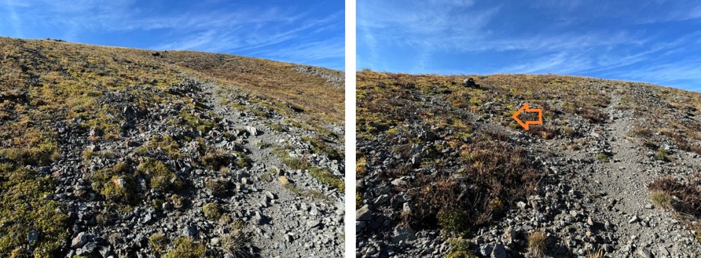
Eventually the ridge became filled with scree, but the angle wasn’t difficult, and it all remained class 2
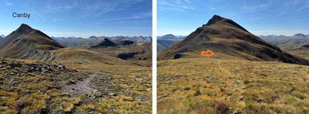
I summited Canby Mountain at 7:10am

Canby Mountain:
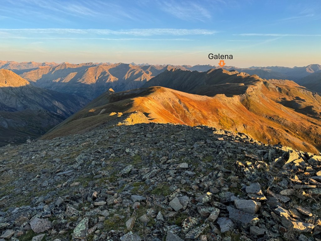
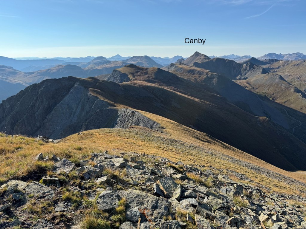
From the summit of Canby Mountain I could see Galena Mountain to the north/northwest.
It was a ridge hike on tundra to get there, and all class 2. I headed back down to the small saddle, and picked up the trail that follows the ridge.
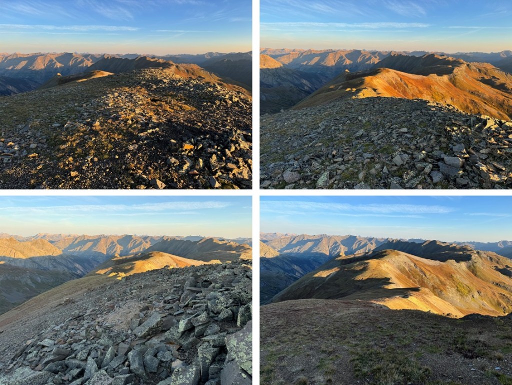

By sticking to the ridge, following it northeast, eventually the trail ends. You can continue to follow the ridge, however, when I came to the scree area (it’s obvious), I stayed at about 13000’ and skirted the ridge. There’s an obvious dirt road in the distance you can aim for, and some game trails here. I aimed for the highest point of the dirt road, and then followed it along the ridge until it ended.
It ended in a roundabout circle, and from there I left the road and continued following the ridge northwest. This is all tundra, and there are a lot of elevation gains and losses along the way. Every once in a while I’d pick up a game trail, and follow it to make the route finding easier.


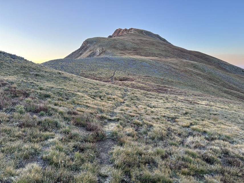
The final trek to the summit was all on tundra and included a faint game trail for part of the way.

I summited Galena Mountain at 8:35am

Galena Mountain:
From Galena Mountain, I could see Canby Mountain, and that long ridge, to the south/southwest.
I needed to get back to Stony Pass, so I descended Galena and followed the ridge back the way I’d summited, aiming for the Canby saddle.
Back on the road, I followed it a short distance, and then aimed for the ridge once again.
This time, when I was on the ridge, I noticed there was a “y” in the trail. Go left here, towards Canby Mountain
Following this path led me back to the saddle with Canby Mountain
At the saddle I turned right, and followed the trail back down to the dirt road.


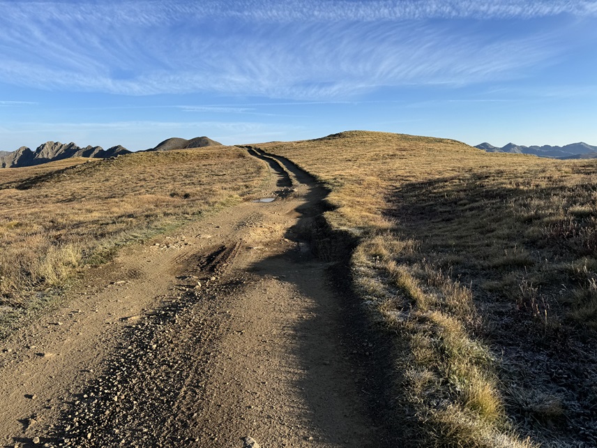
I then followed the dirt road back to my truck.
I made it back to my truck at 9:45am, making this a 6.64 mile hike with 2084’ of elevation gain in 3 hours, 15 minutes.