RT Length: 12.29 miles
Elevation Gain: 4438’
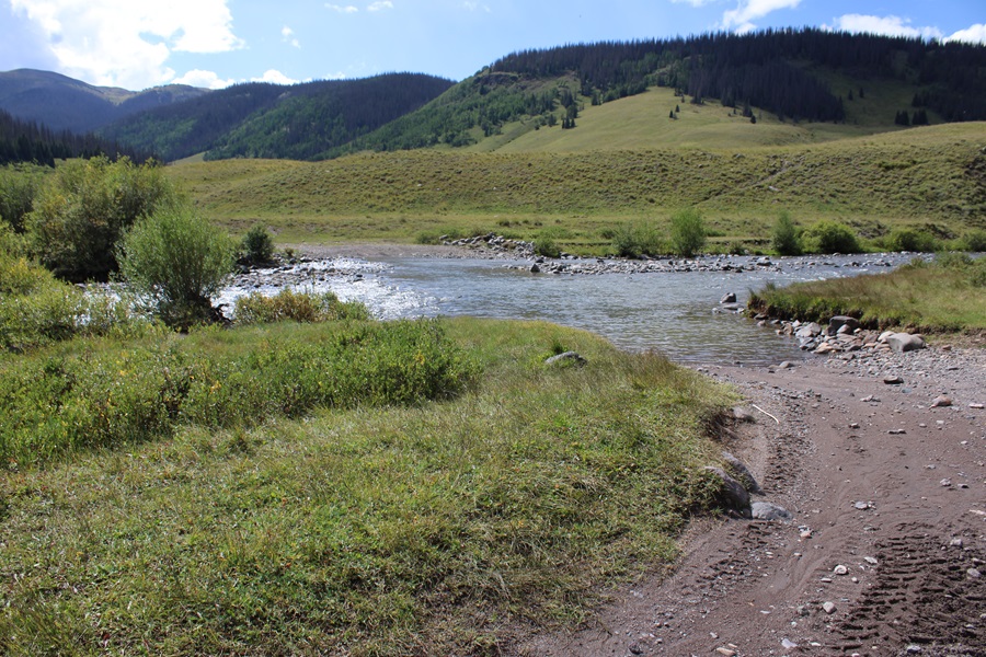
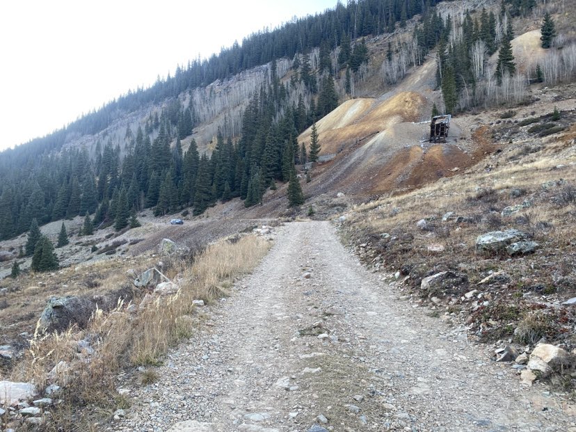
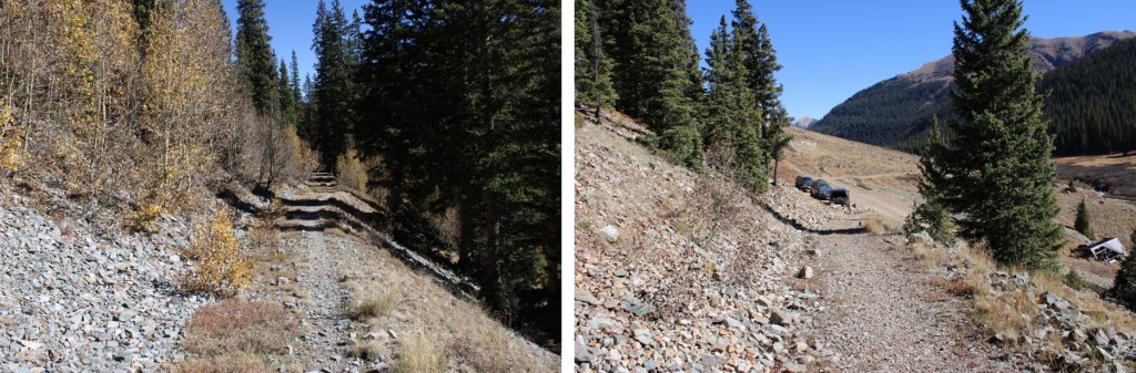
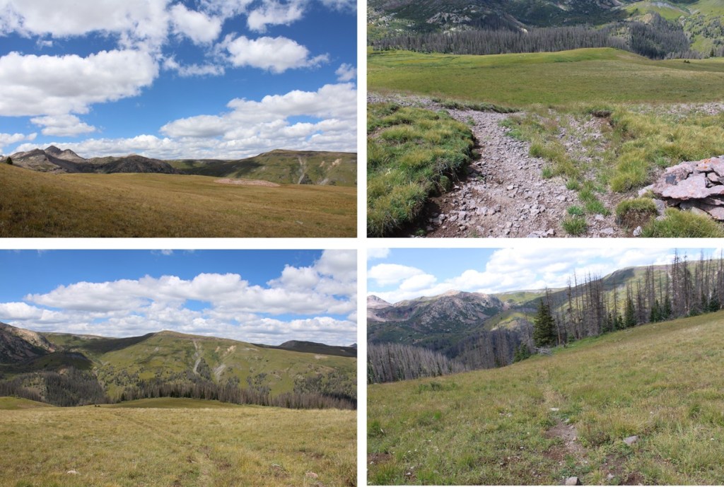
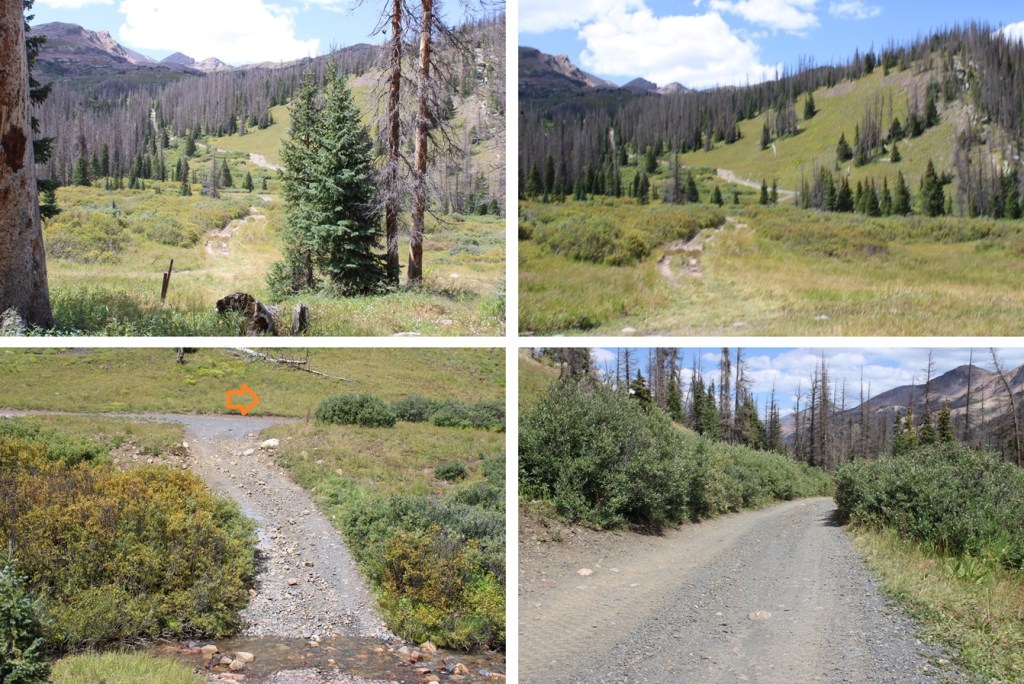
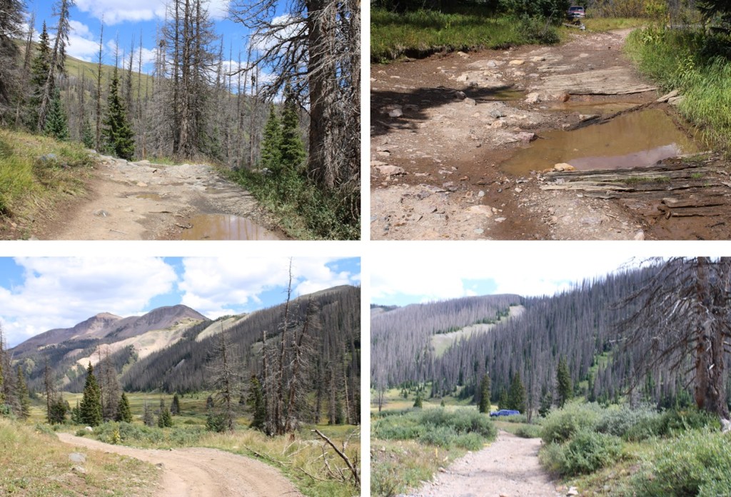
I started this hike from Beartown. I’ve made the drive into Beartown now 4 or 5 times, and from what I remember, the road and river crossings were better this time than my previous visits, but once I made it after the river crossings the road was much worse. It has rained a bunch recently, and all of the potholes were now lakes. From my parking spot at around 11250’, I headed southwest, following the 4WD road.
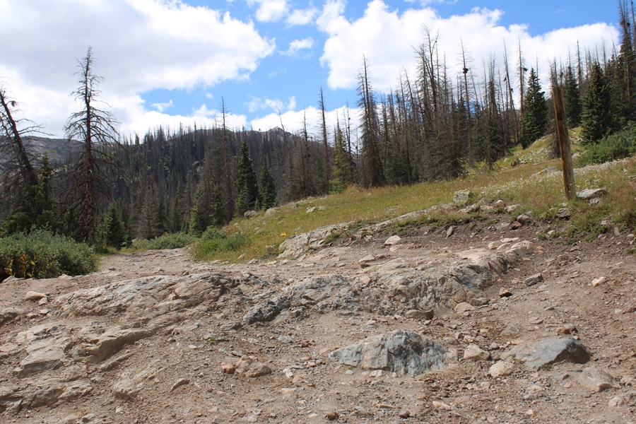
After hiking for about .4 miles, I came to a junction and turned left, heading towards the actual trailhead.

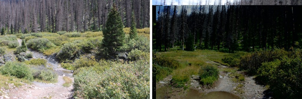
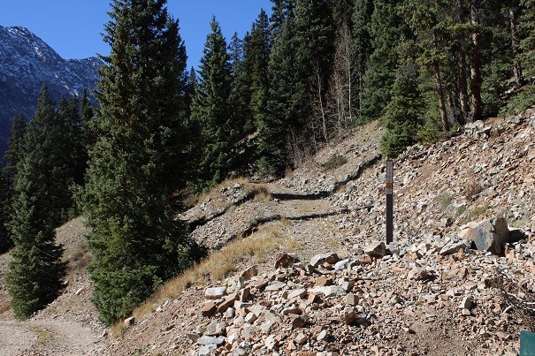
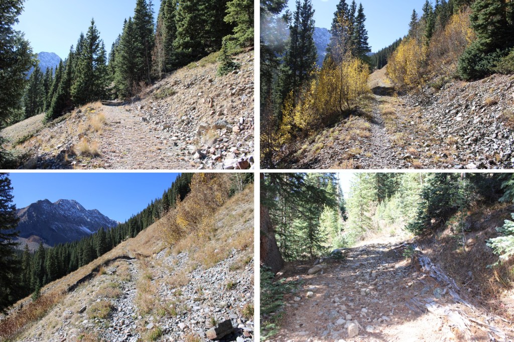
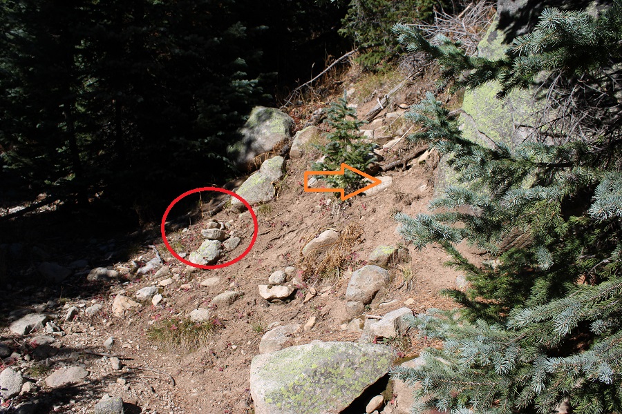
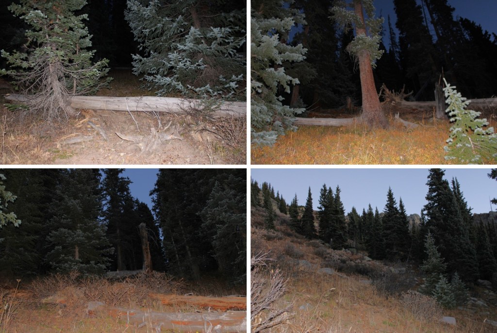
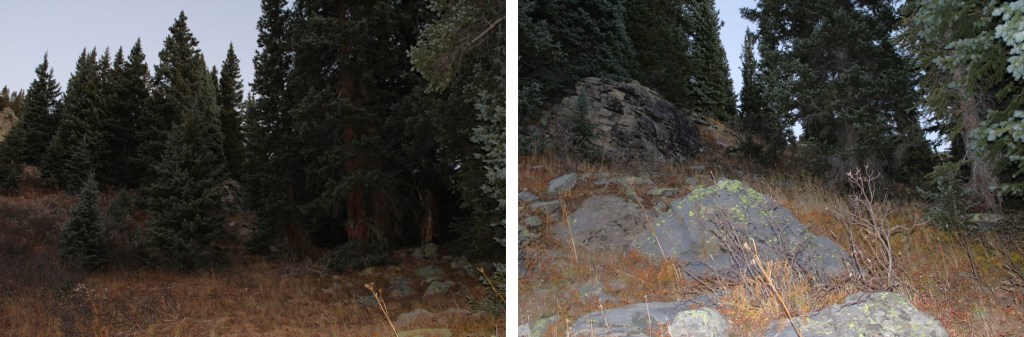
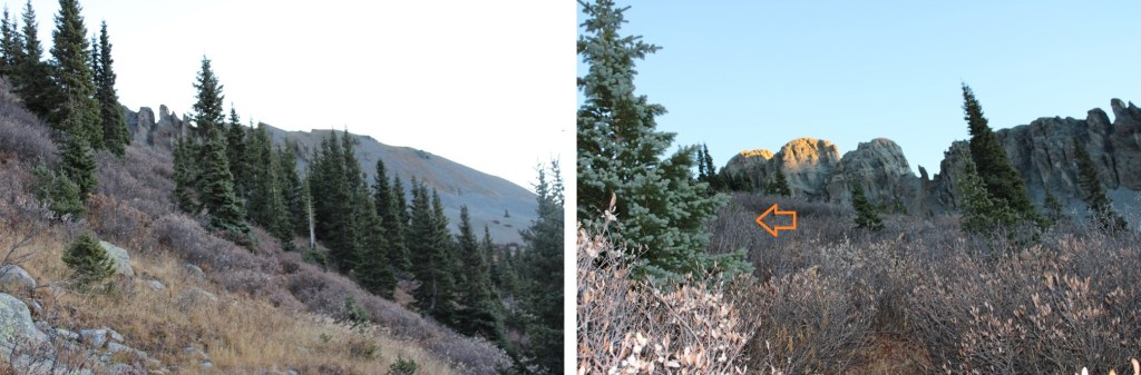
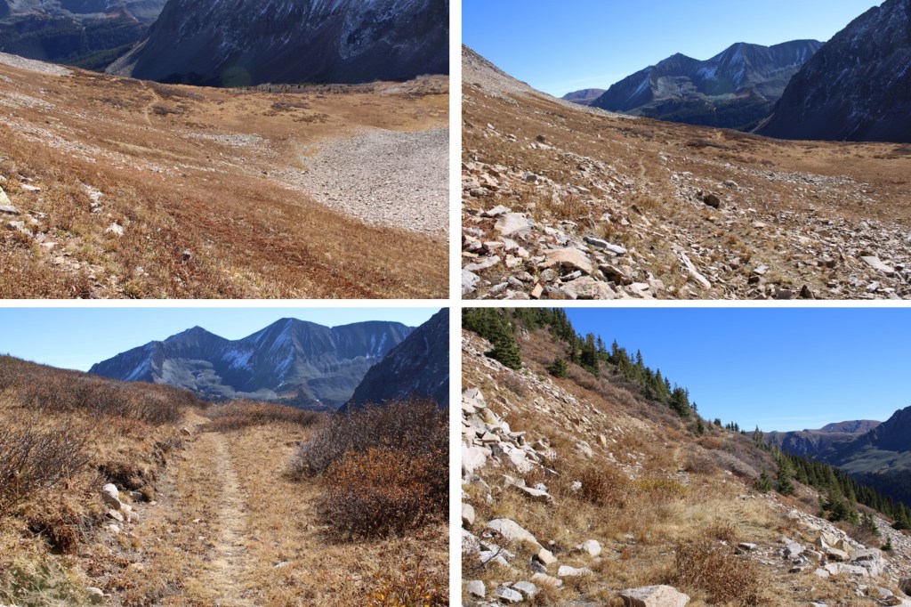
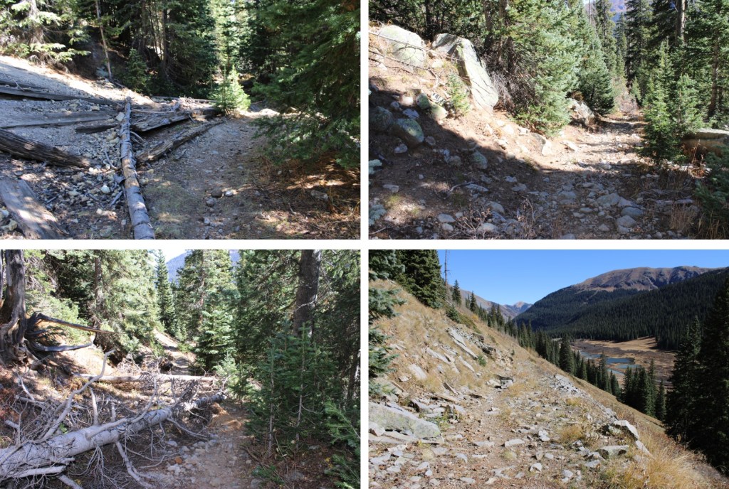
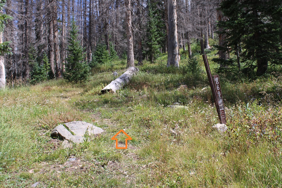
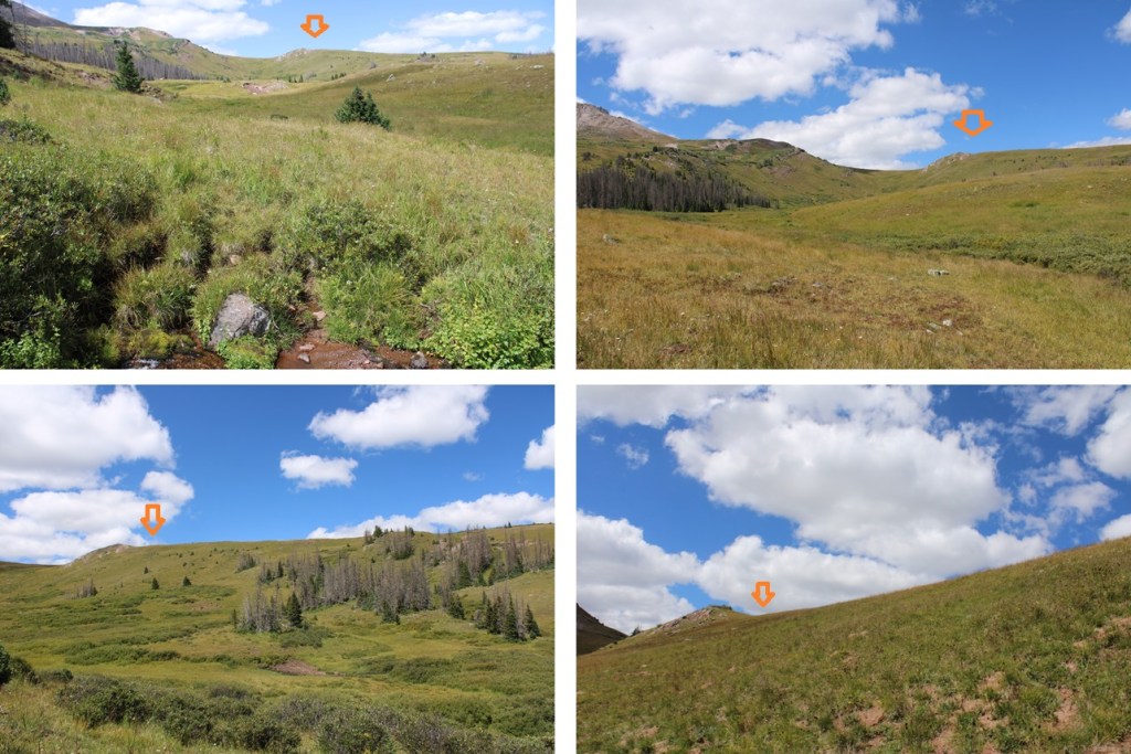
I was now at the trailhead for Trail 869. I followed this trail to treeline. The trail is class 1, except where there are downed trees and overgrowing vegetation covering the trail. Then some route finding is required, but the trail always picks back up again. Once above treeline, the trail is easy to follow.

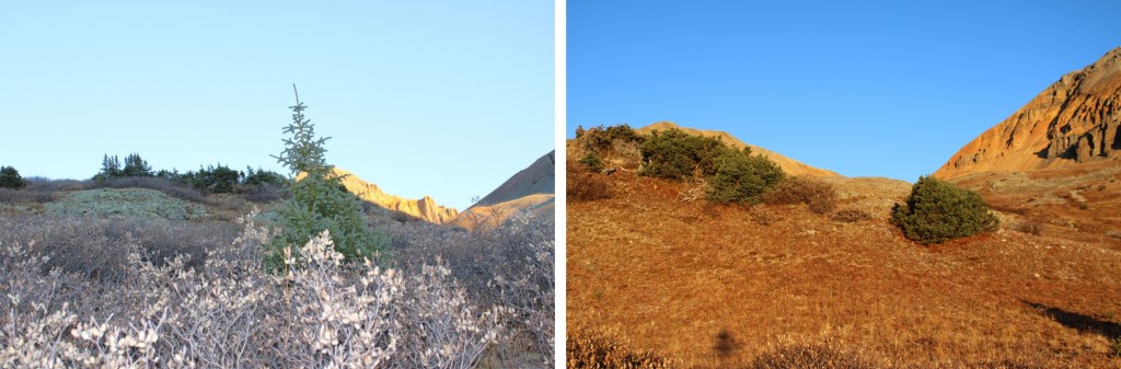
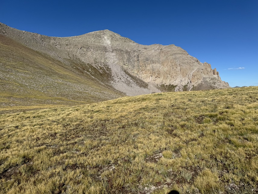
At treeline, I continued following the trail south

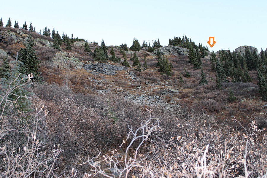
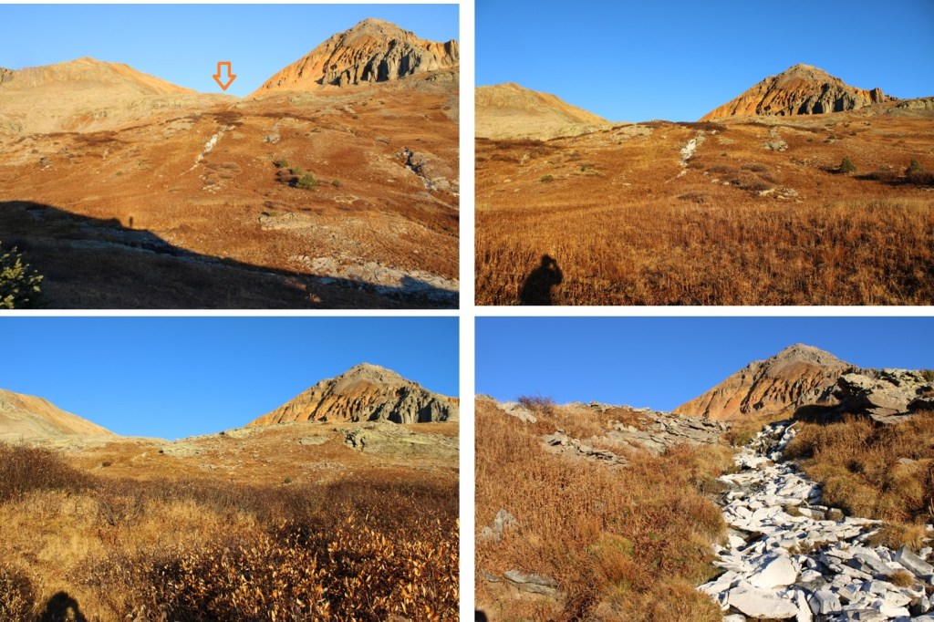
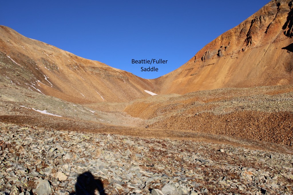
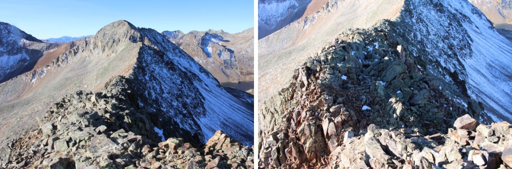
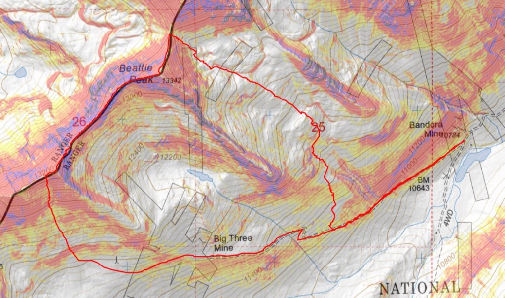
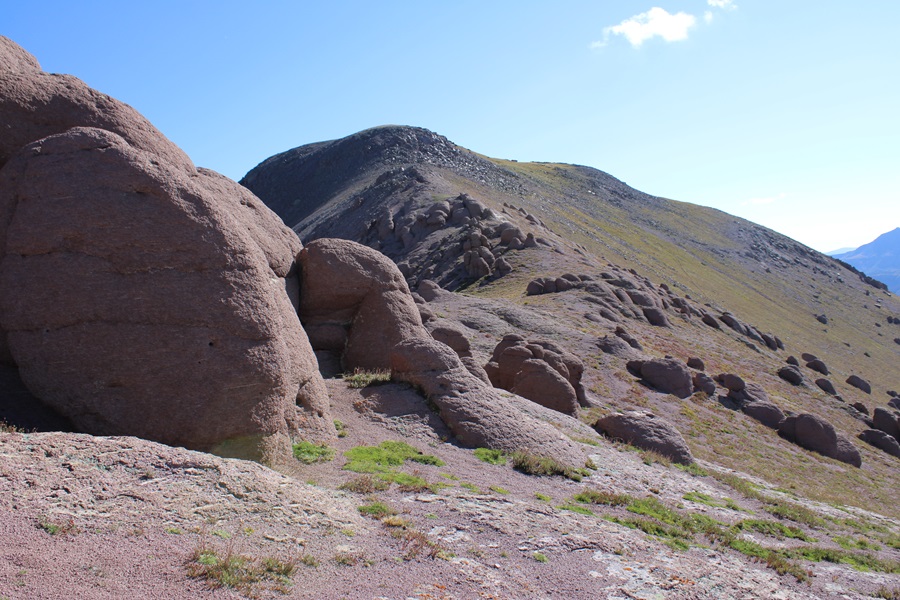
The trail was headed towards the saddle of 13318 and 13351, but before reaching the saddle I aimed for this point in the ridge. There are game trails to get you there, but the route is pretty obvious.
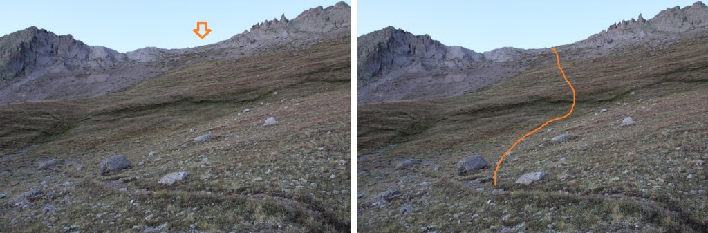

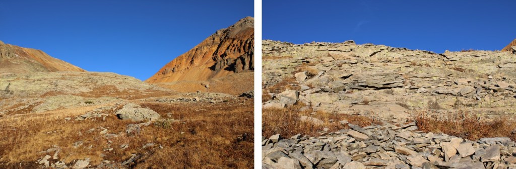
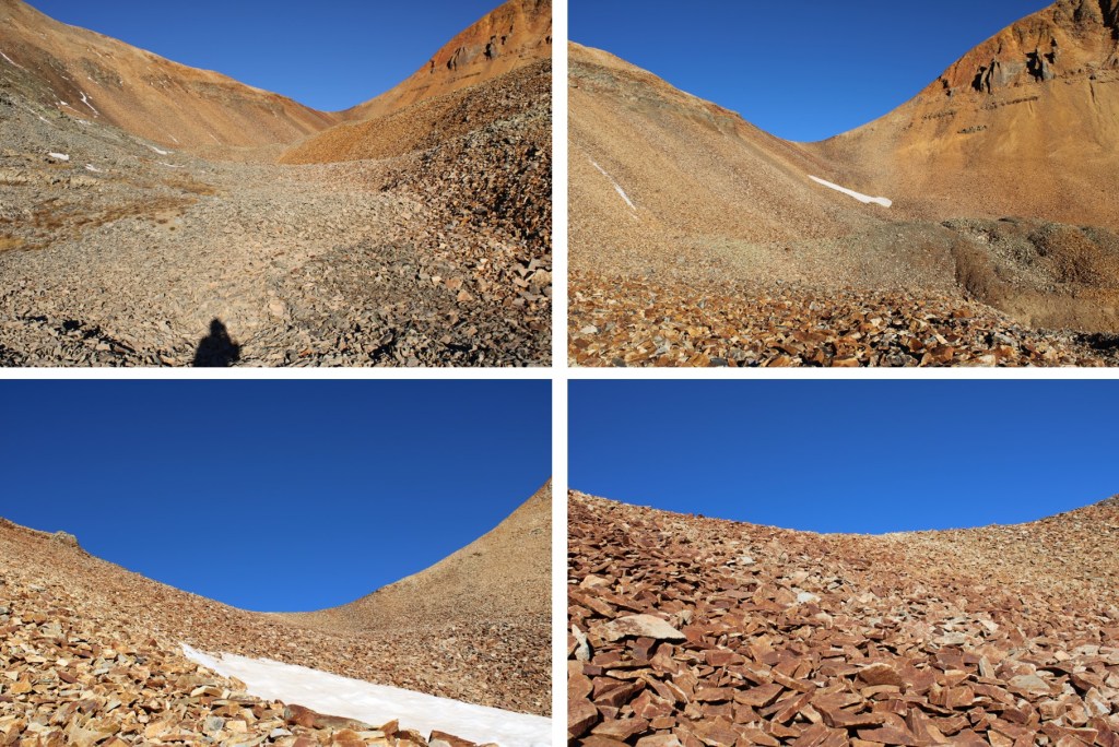
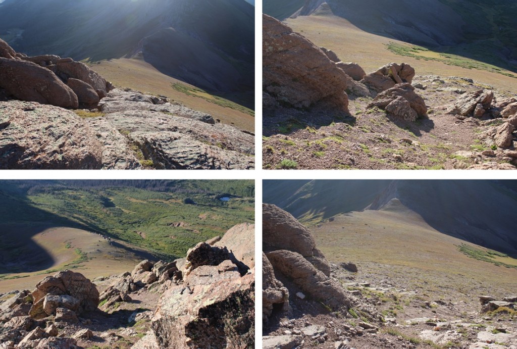
Once on the ridge, I turned right and headed west. Here’s my overall route to the summit. This is all class 2, with some scree mixed in. The boulders can be avoided on class 2 terrain, but be prepared for lots of kitty litter. Look for an access route to the left and center of the boulders, and you’ll find a scree path.
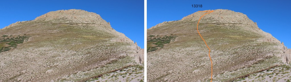

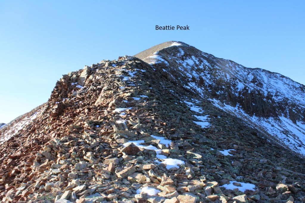
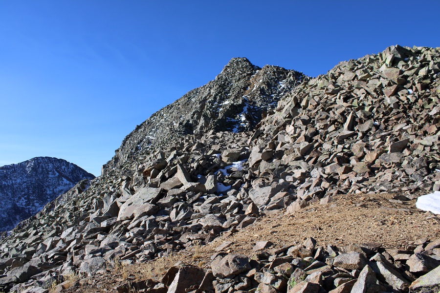
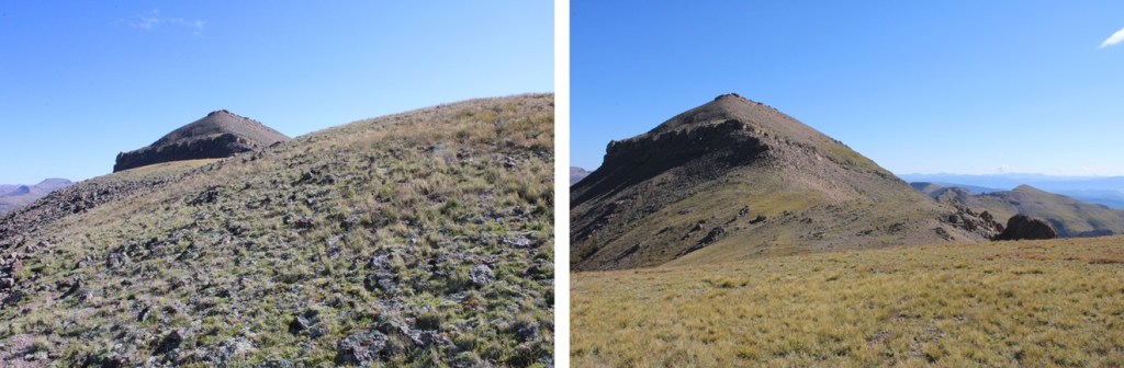
When I made it to the ridge, I realized I was at a false summit, turned left, and boulder-hopped to the true summit.

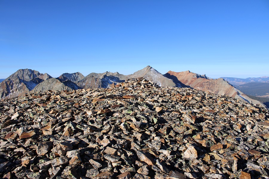
I summited PT 13,318 at 7:15am
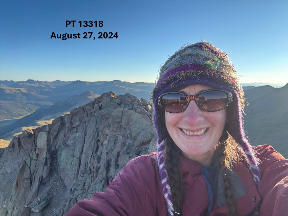
PT 13,318:
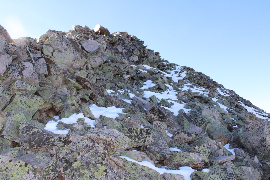
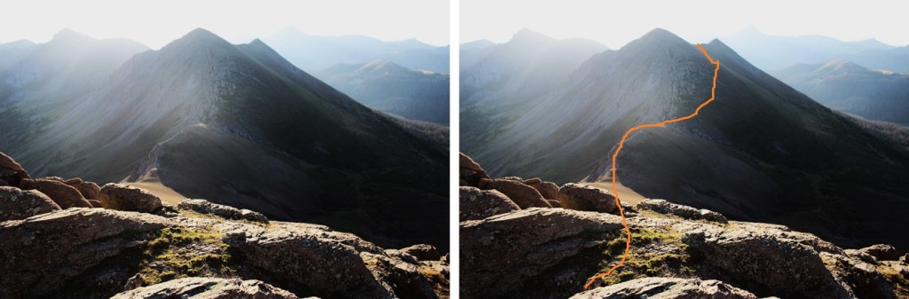
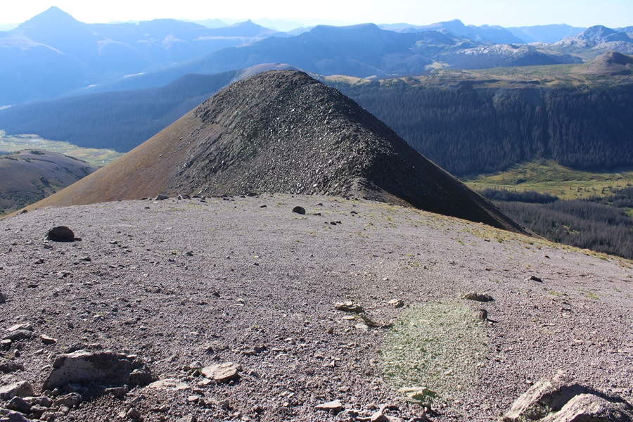
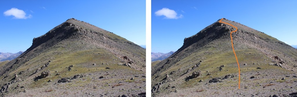
My next goal was PT 13351, to the east. The summit is hidden in this picture by a false peak, but this was my route to the summit. I curved to the right of the peak, avoiding the rocky areas by staying on tundra, then headed for a small saddle.
First, to make my way down to the 13318/13351 saddle.

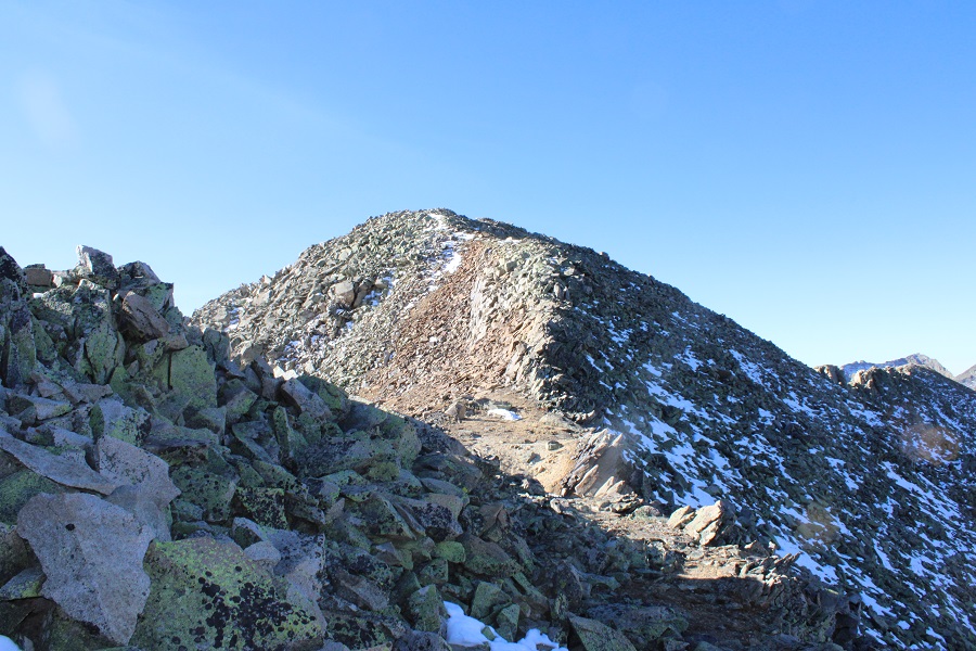
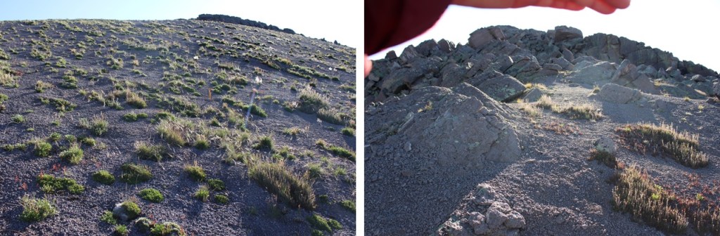
Then I headed up the slope, staying on tundra, circling around until I could see a small saddle at the ridge.

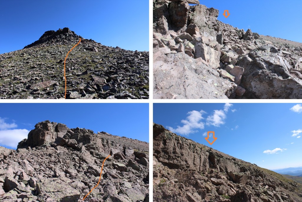
Once on the ridge, I turned right, and headed east towards the rocky area.
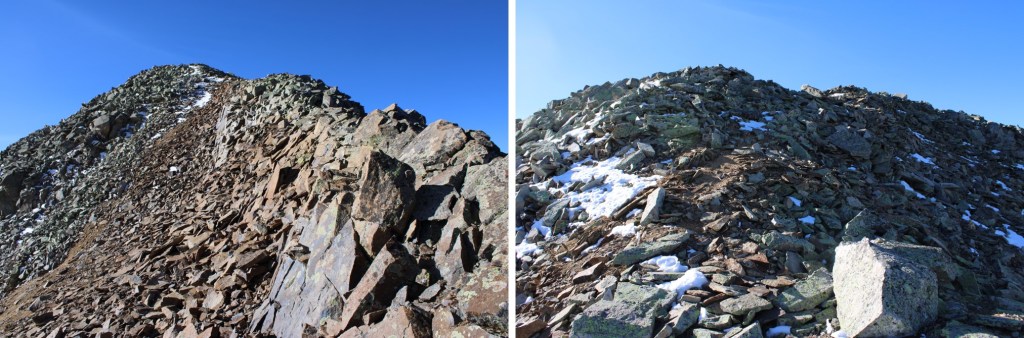
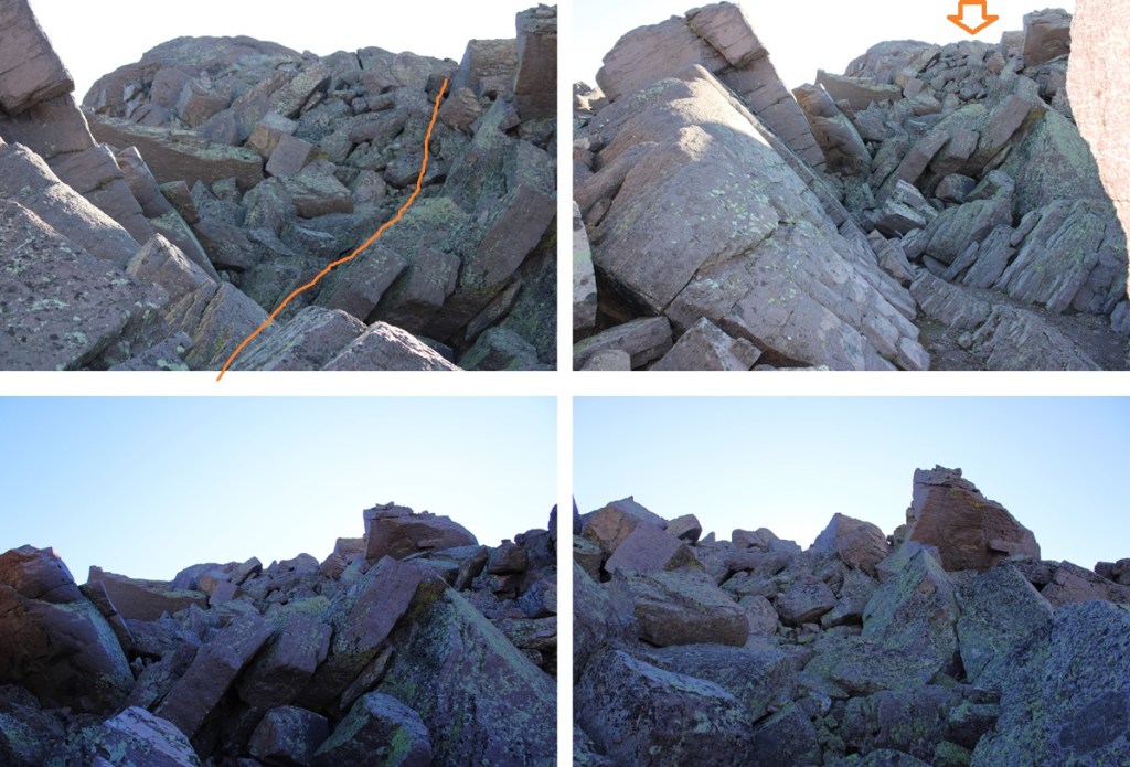
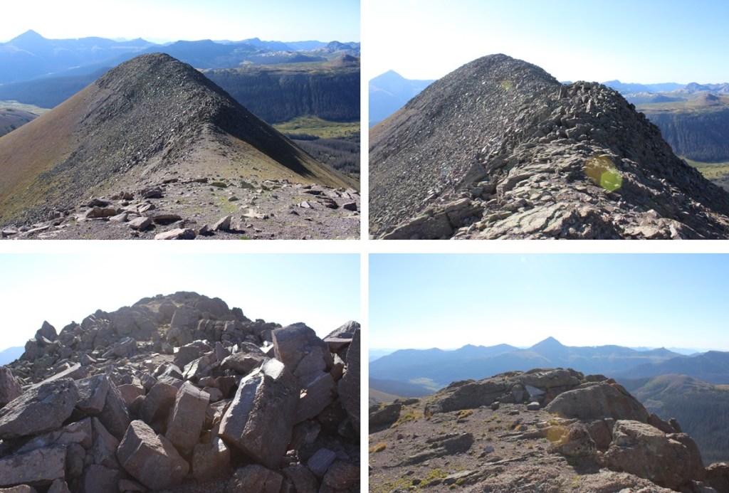
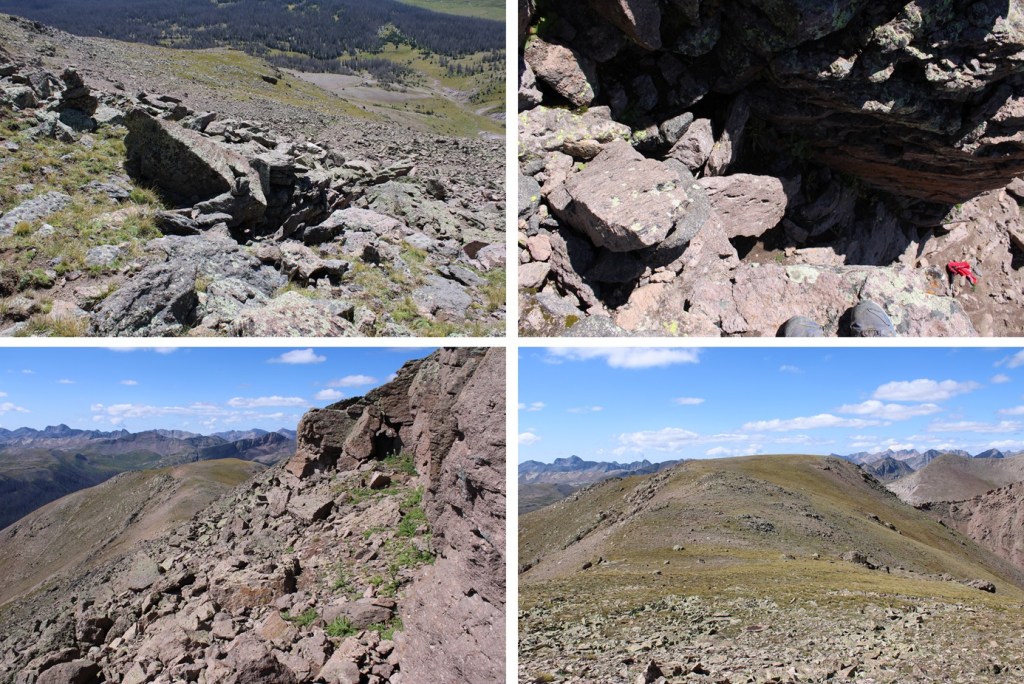
This rocky area was class 3, and once again choose your own adventure. The rocks were loose, and there seemed to be many options to make it to the summit. This is the route I chose:

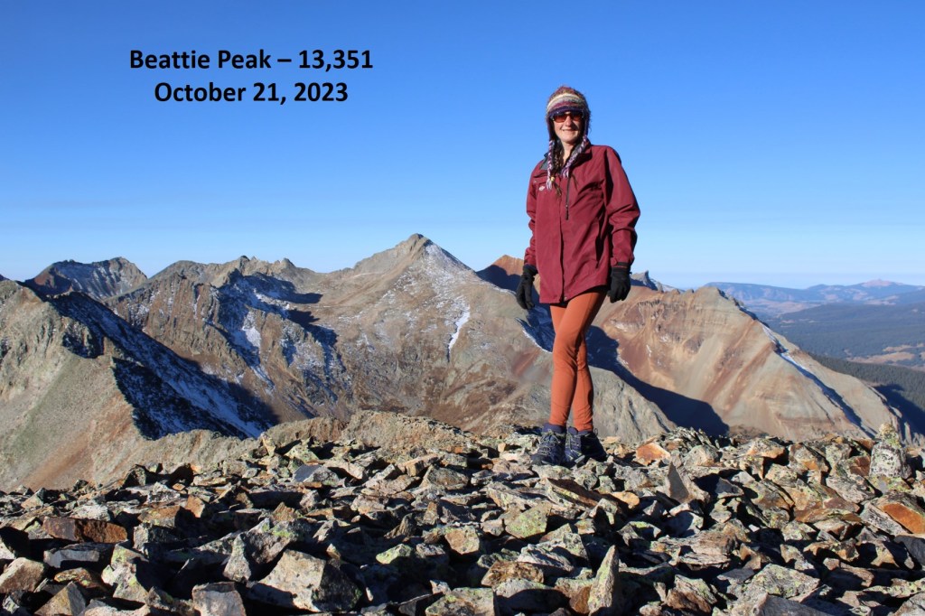
I summited PT 13,351 at 8:30am
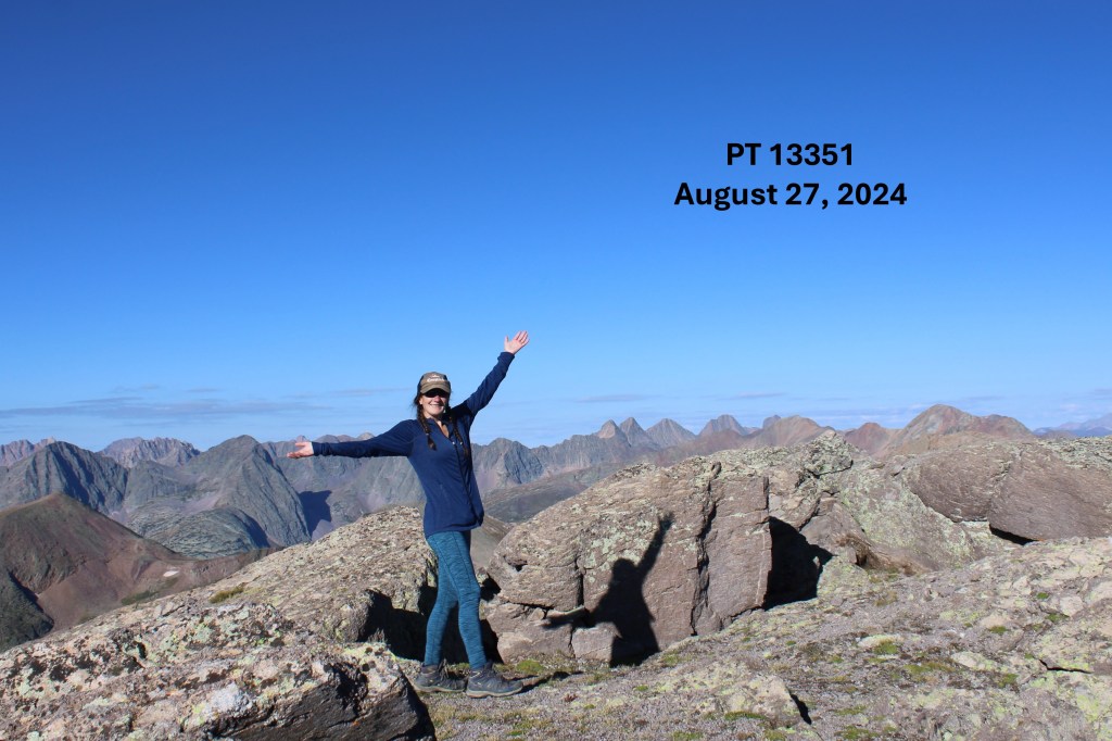
PT 13,351:
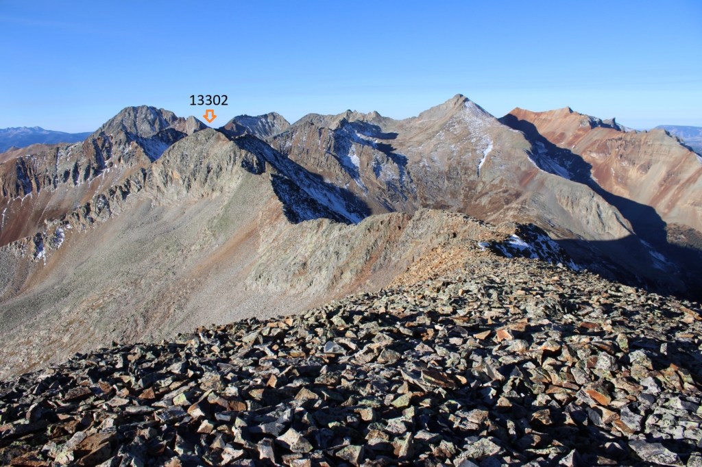
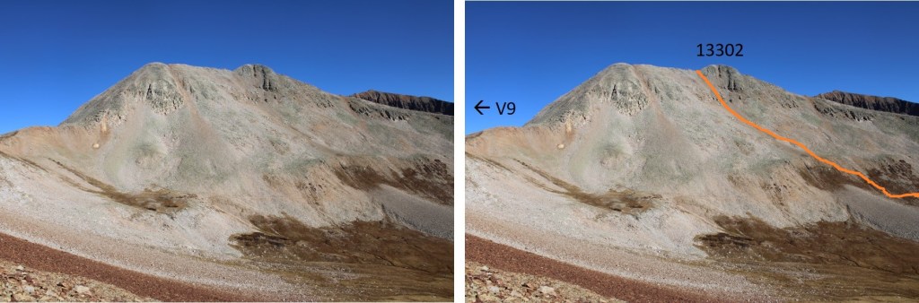
My next goal was Ute Ridge, to the northeast
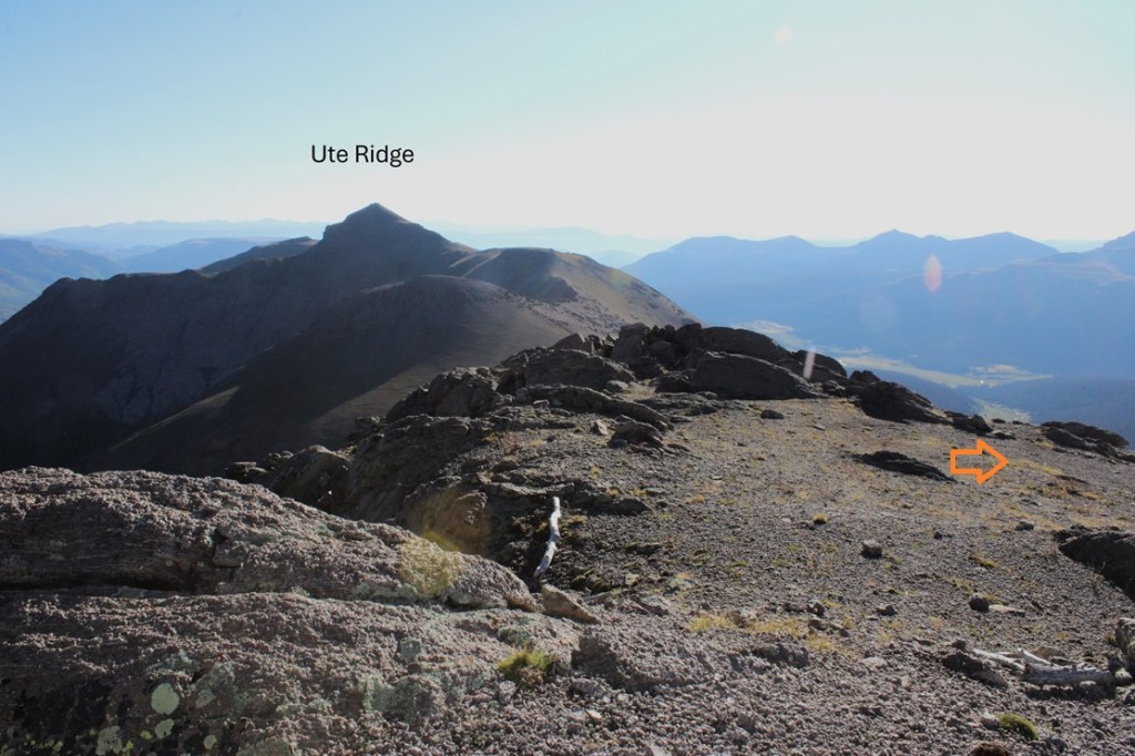
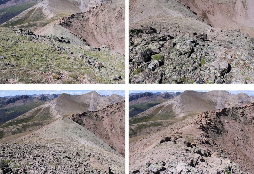
Fist, I’d have to follow the ridge southeast and gain this point before heading down to the 13351/Ute Ridge saddle.
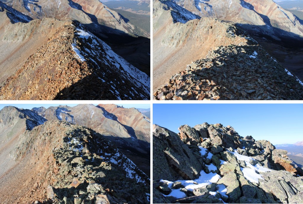
I headed towards the unnamed point. A few thoughts on this ridge: It’s rocky, and loose. It can be kept class 2 if you stick to the right of the ridge, class 3 ridge proper. Once again, ALL of the rocks are loose.
I was able to follow scree and tundra down to the 13351/Ute Ridge saddle. Now is a good time to look at the route you want to take to gain the ridge. I stayed below the rocks, but was able to find game trails through the scree to the ridge. The ridge proper has a lot of unavoidable rock formations, so I wanted to stay below them until they were gone before gaining the ridge.


And now to gain the ridge while avoiding the rock formations
And then following the ridge proper.
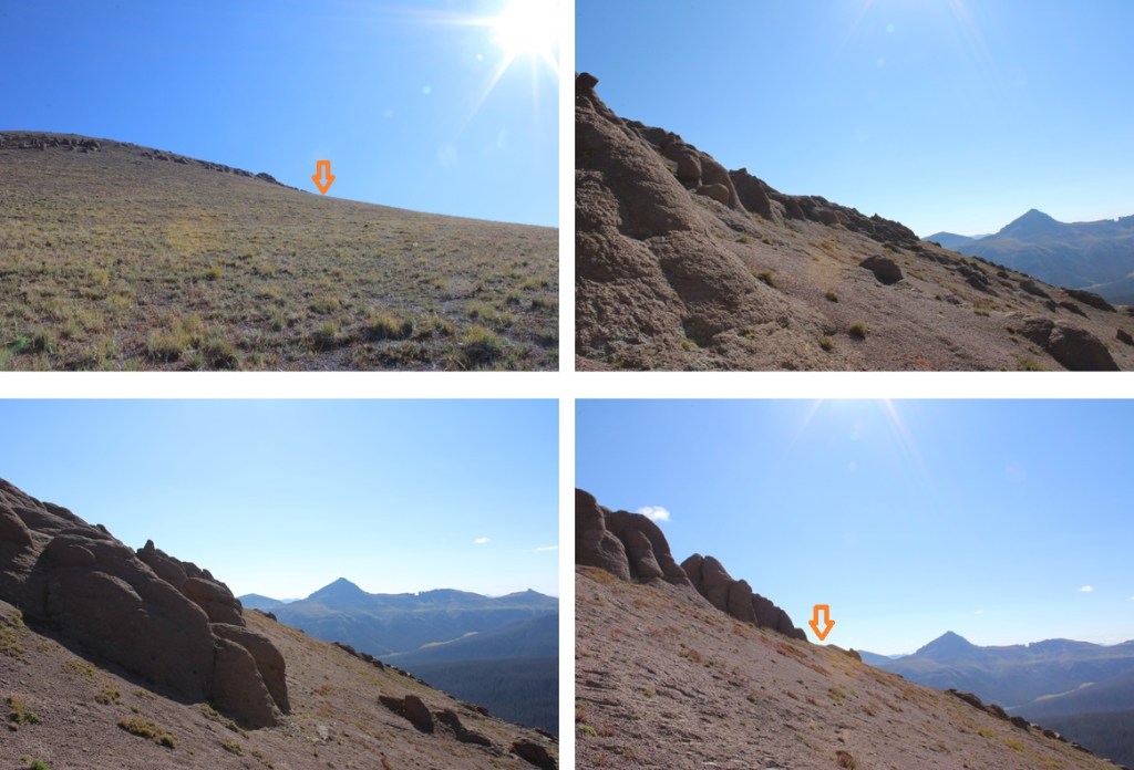
I came to a rocky area, and found a game trail up to the left

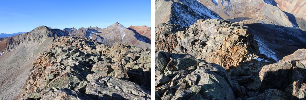
Then I continued following the tundra towards Ute Ridge
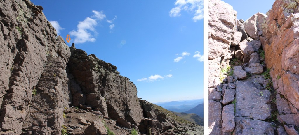
This next section is a little tricky when you’re down in it, so now’s a good chance to take a look at your route. The rocks here are loose. I chose to go right of the ridge when I had the chance. Just before the summit is a large rock band. There were several chimneys there to use as access. I ended up choosing the third chimney I came to, although they all had cairns indicating they “went”. If you want to avoid the chimneys altogether, you can continue further right and use class 2 terrain (although it looks like steep scree is involved).
Here’s the route I took:
This is the chimney I took:
At the top of the chimney I headed back towards the ridge, and followed the rocks to the summit. The boulders at the top are so large you can walk around them to the summit.

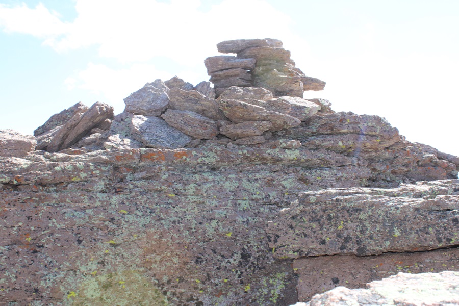
I summited Ute Ridge at 10:30am
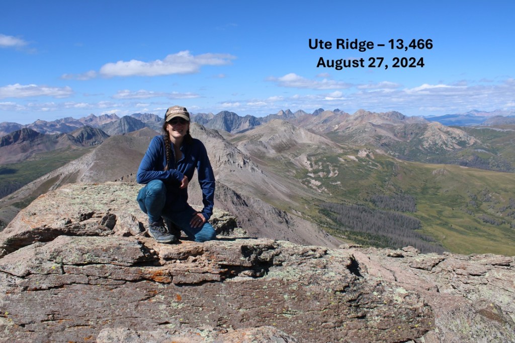
Ute Ridge:
And now to head back down towards the chimney
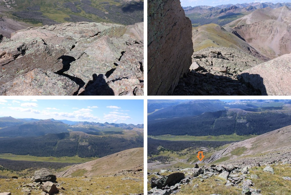
Down the chimney, and back towards the 13551/Ute Ridge Saddle

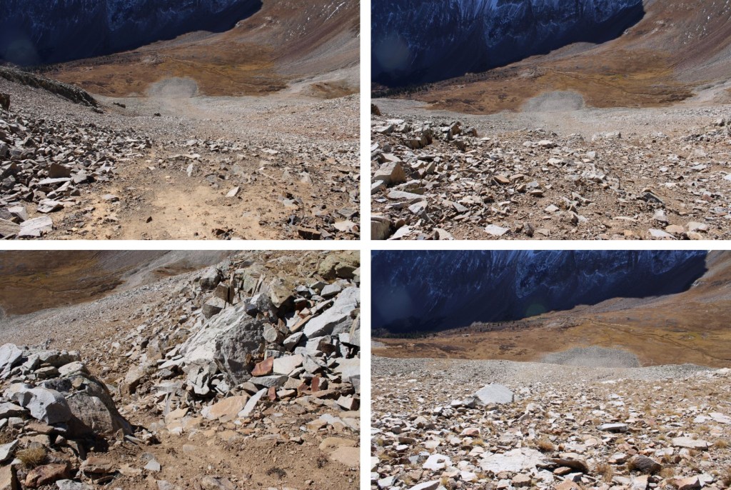
From the saddle of 13551/Ute Ridge, my intention was to make it back to the ridge and the trail I’d hiked in on from Beartown. The trail goes along much of the ridge, so I just needed to aim for the ridge. You can do this by aiming for the gully, or taking the slope. I took the slope to avoid the willows. Once I was down in the gulch, I gained about 950’ to the ridge.
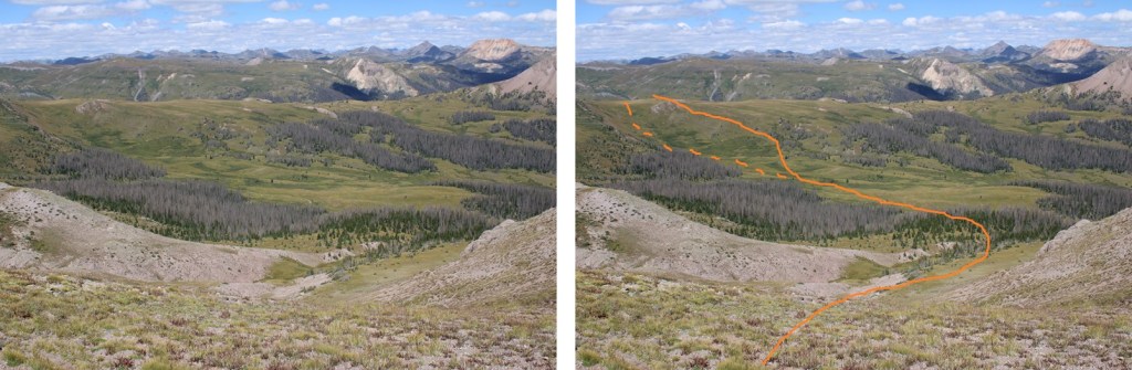
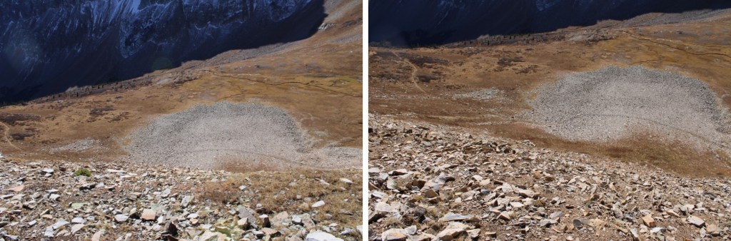
Here are some pictures of the route:
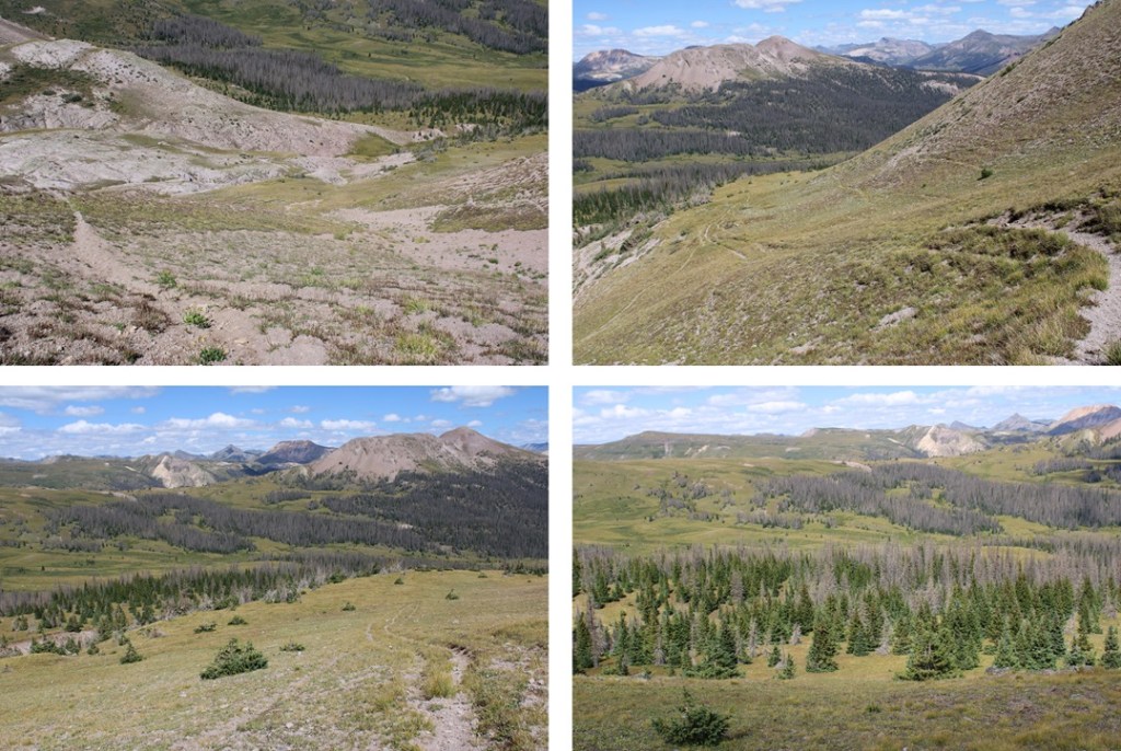
Heading west on the tundra eventually brought me back to the easily identifiable trail that would lead me back to Beartown

Once back on the 4WD road, I followed it back to my parking spot
I made it back to my truck at 1:15pm, making this a 12.29 mile hike with 4438’ of elevation gain in 8 hours, 15 minutes

For those of you interested, this is what the second river crossing looked like in late August of 2024: