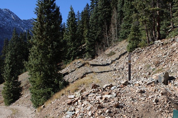
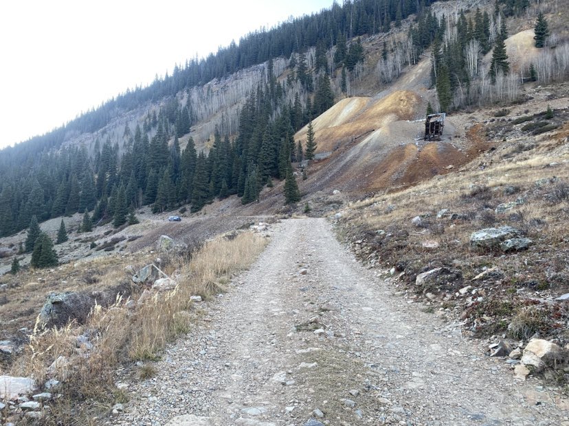
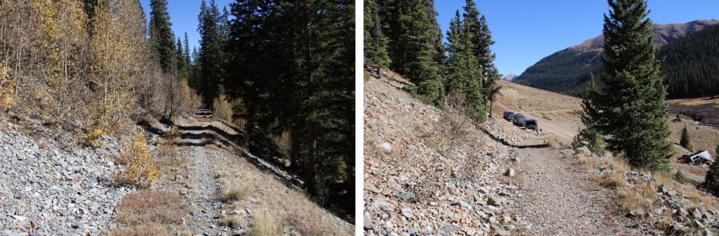
I started this hike from the Bandora Mine site. There’s room for about 3 or 4 vehicles to park at this trailhead.
The day before I saw a beaver tail-splash a coyote. Last night I saw that same beaver tail-splash a moose. This guy means business!
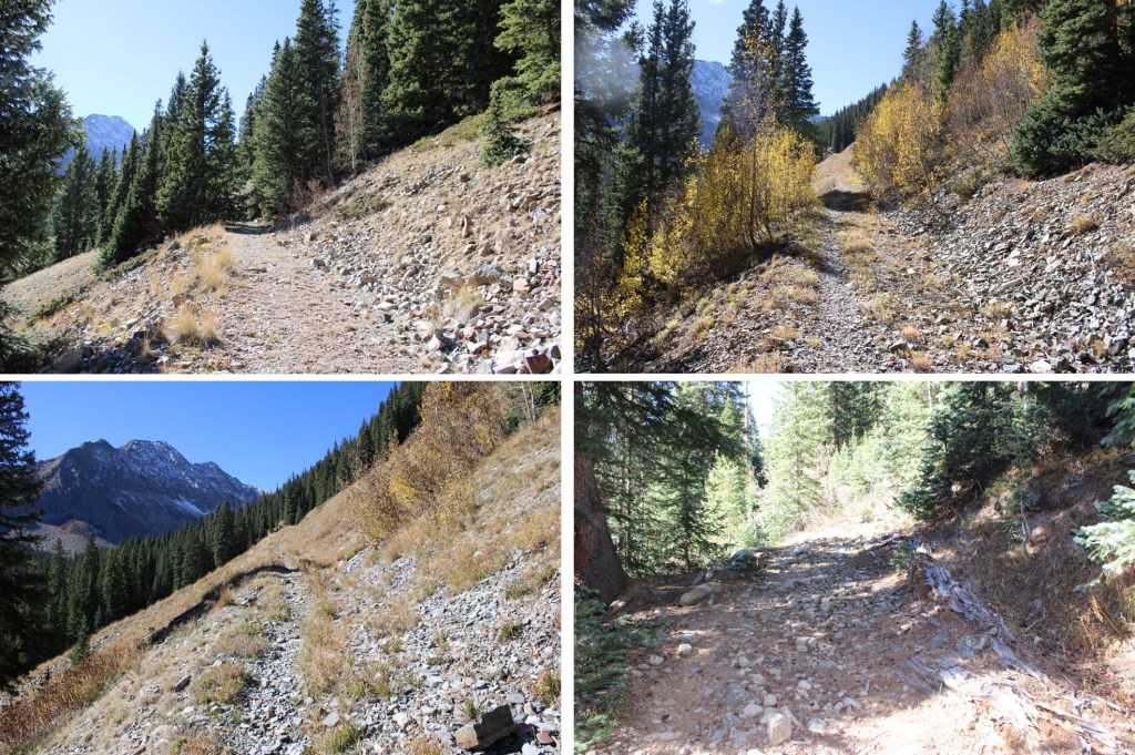
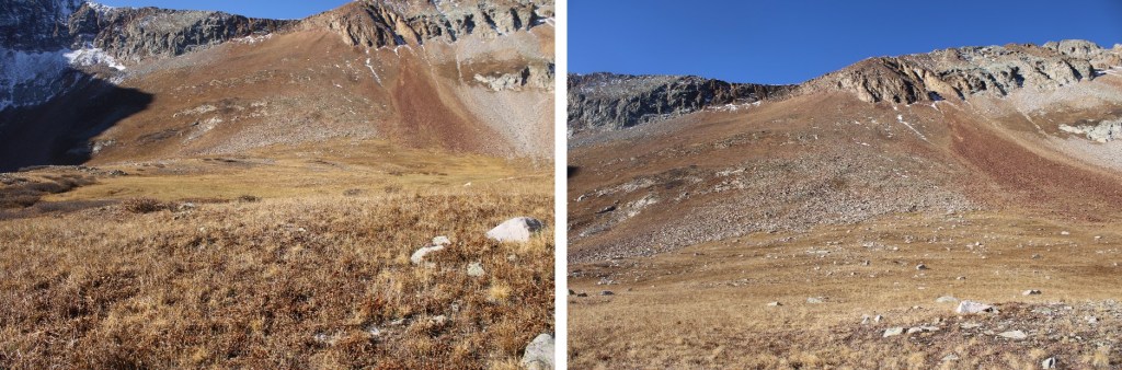
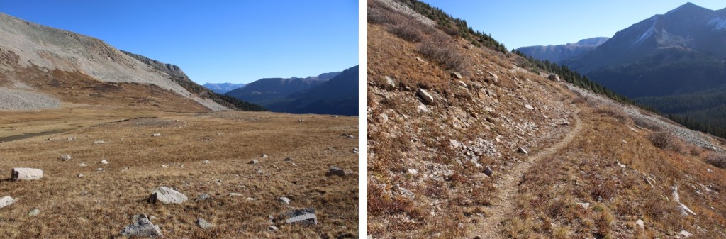
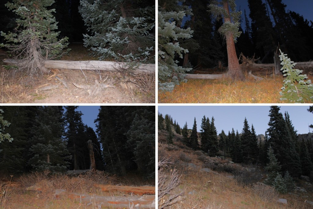
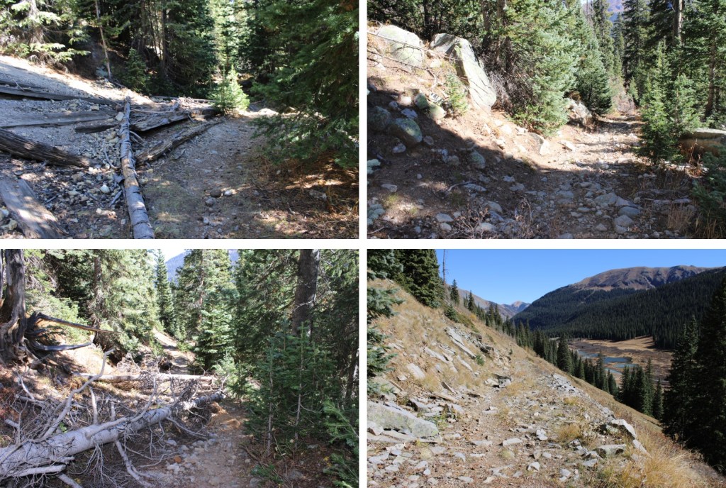
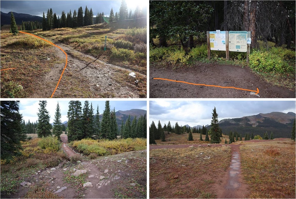
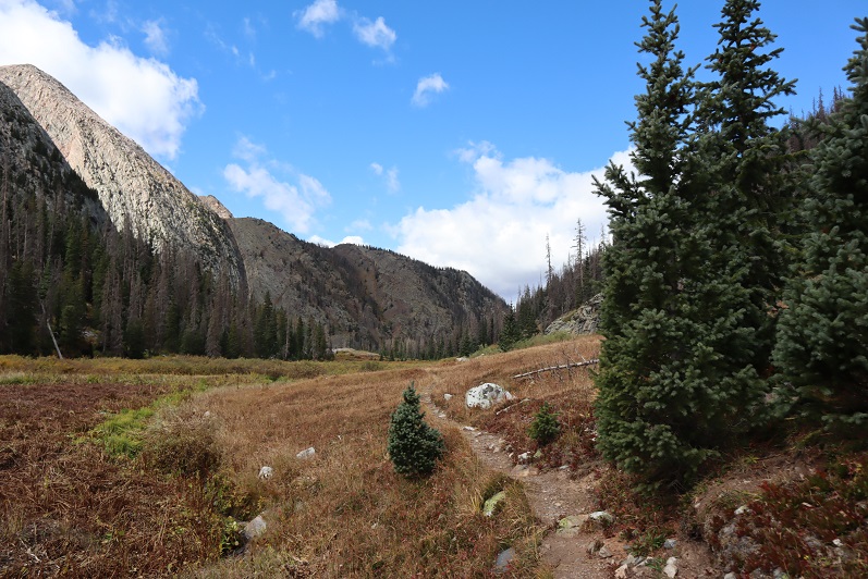
I was on the trail at 6:15am the next morning. I took the trail to Lake Hope, which started just to the south of the parking area.
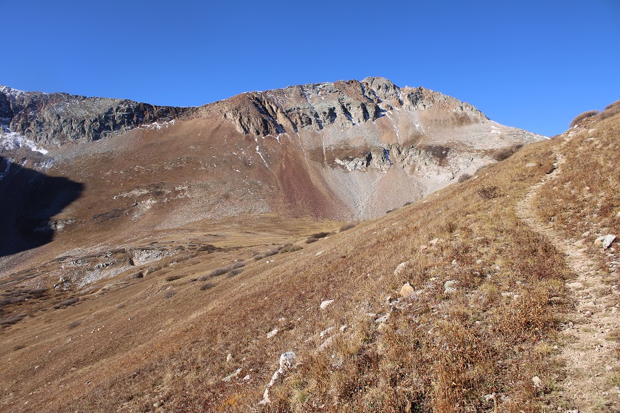
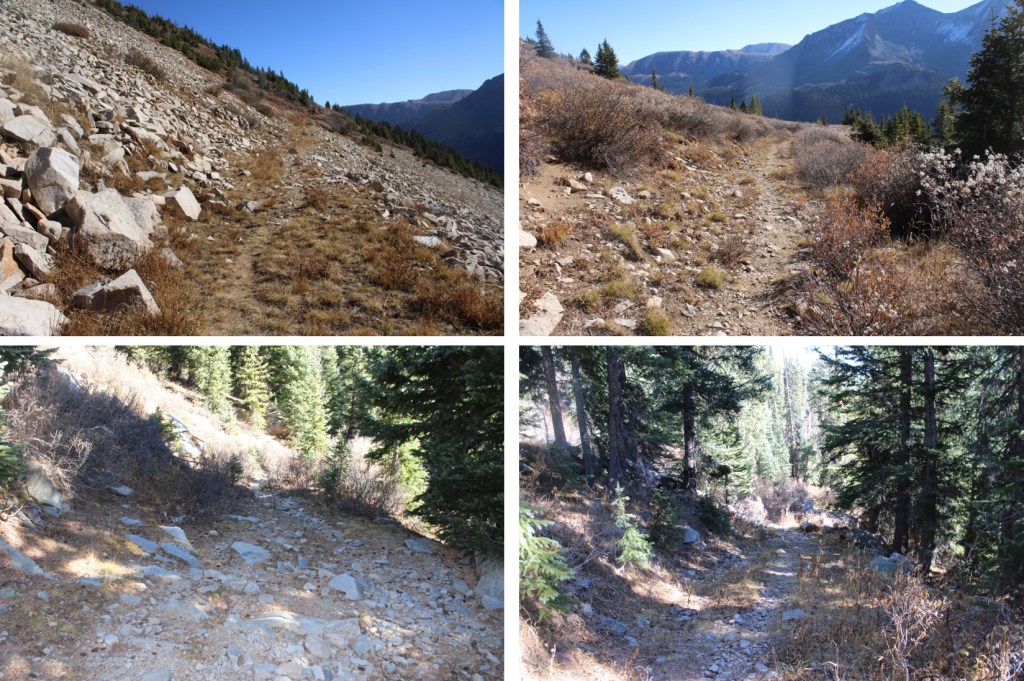
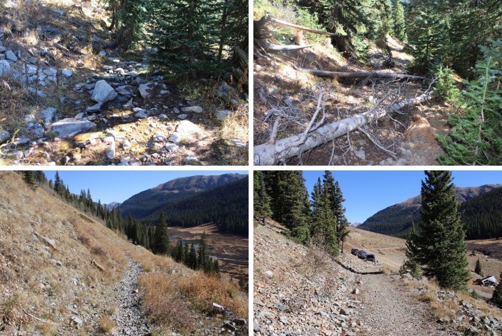
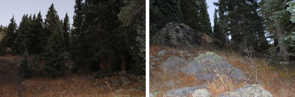
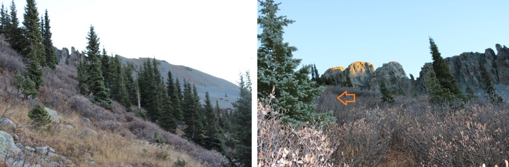
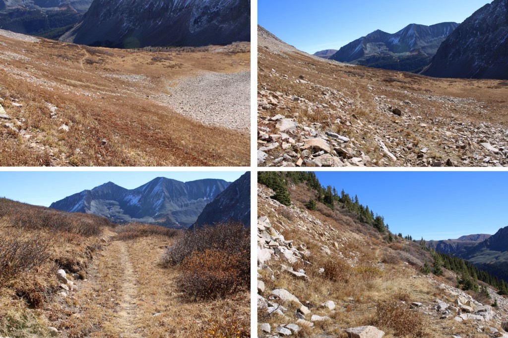
I took this class 1 trail southwest to treeline, which was about 1.75 miles.
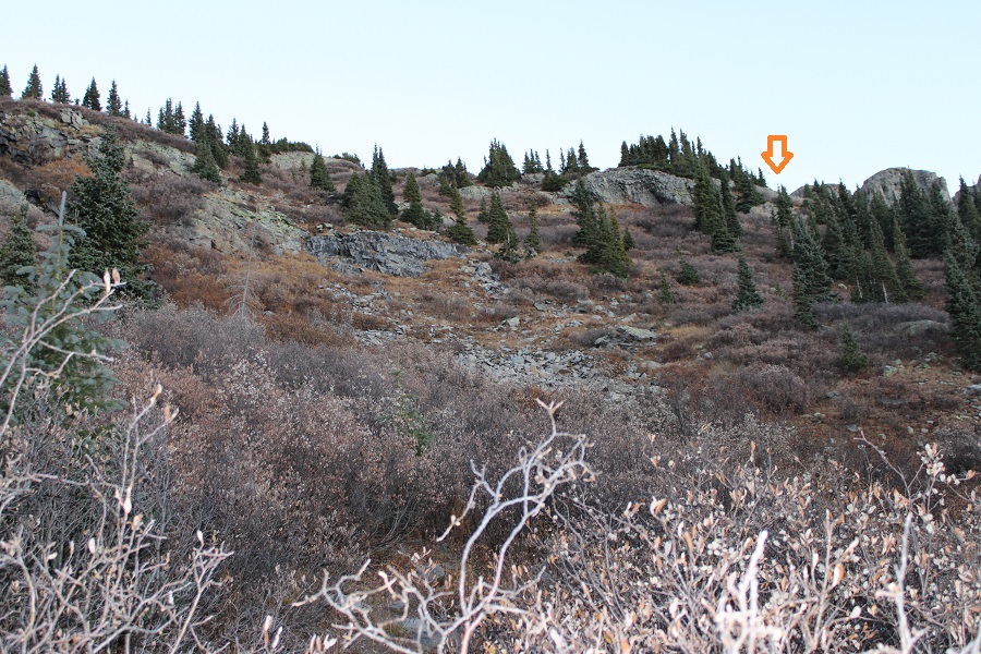
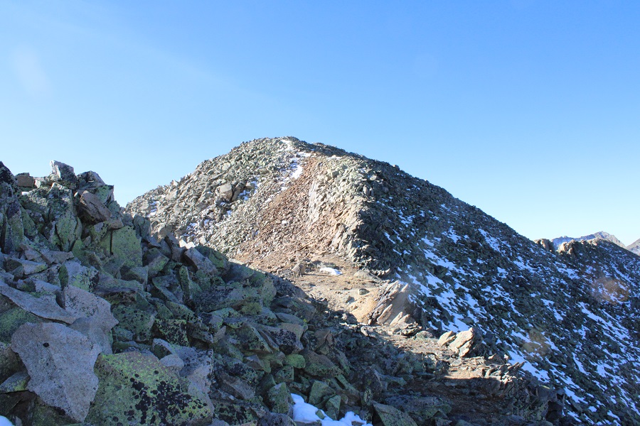
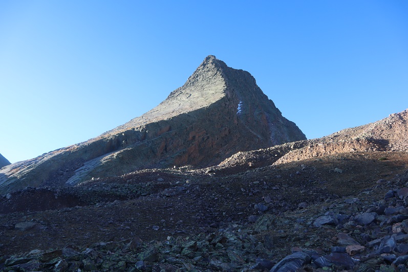
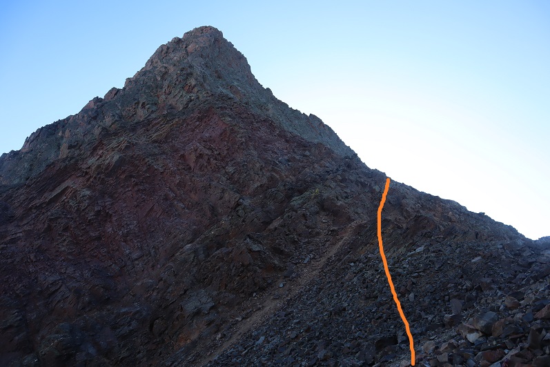
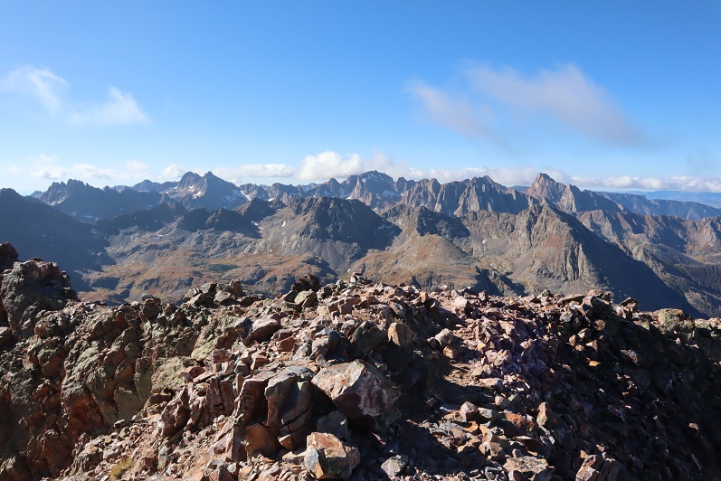
At treeline, I could clearly see V9
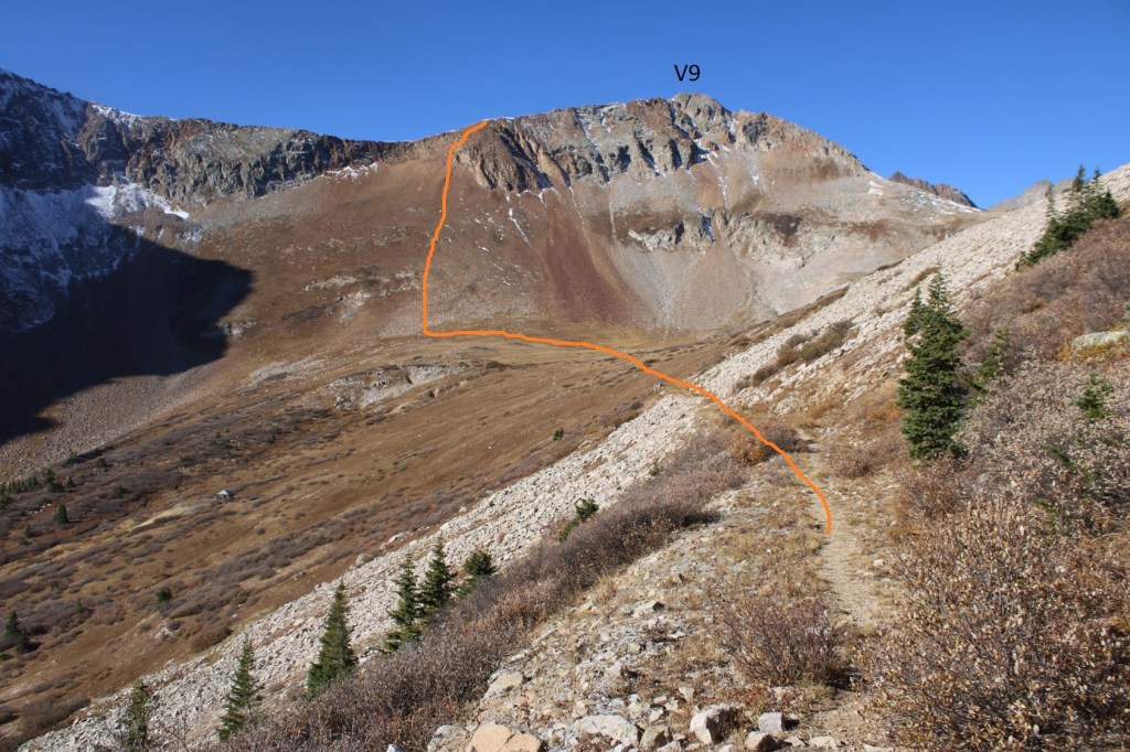
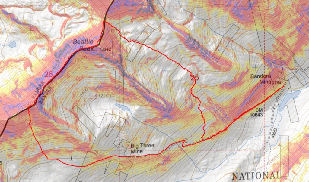
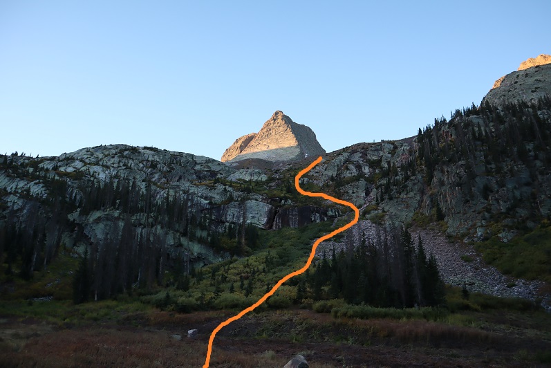
This is the overall route I took to the ridge
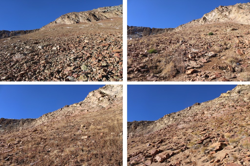
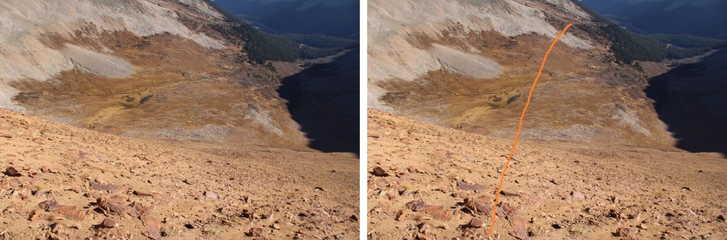
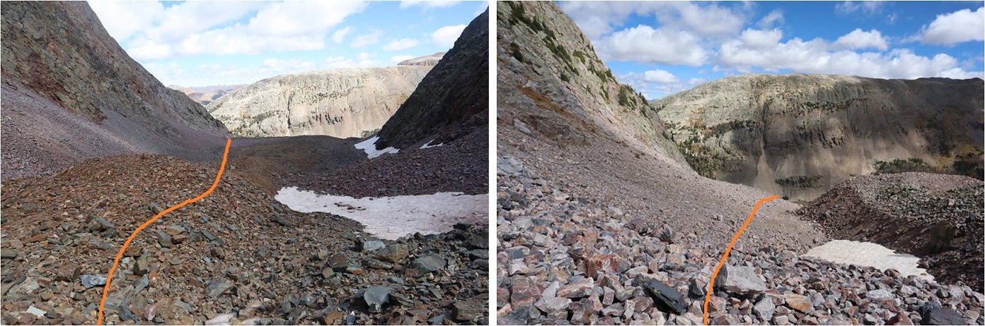
With careful route finding, this can all be kept at class 2+. First, I headed down the basin to the base of the slope.
From there it was 730’ of elevation gain up rocky talus to the rocky area just below the ridge. Microspikes helped for traction.
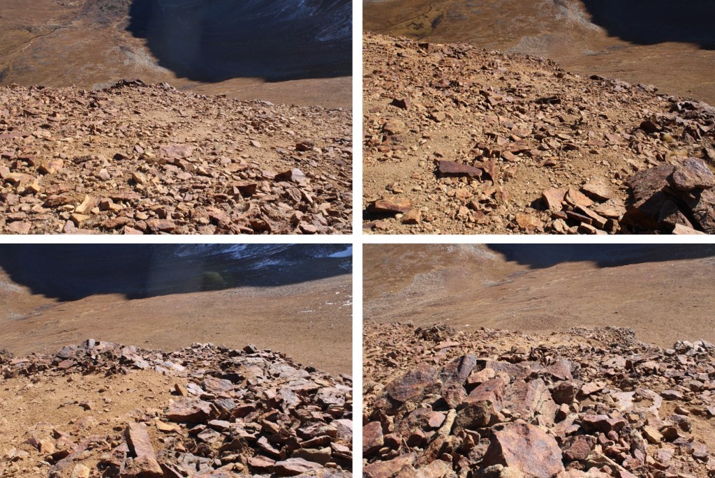
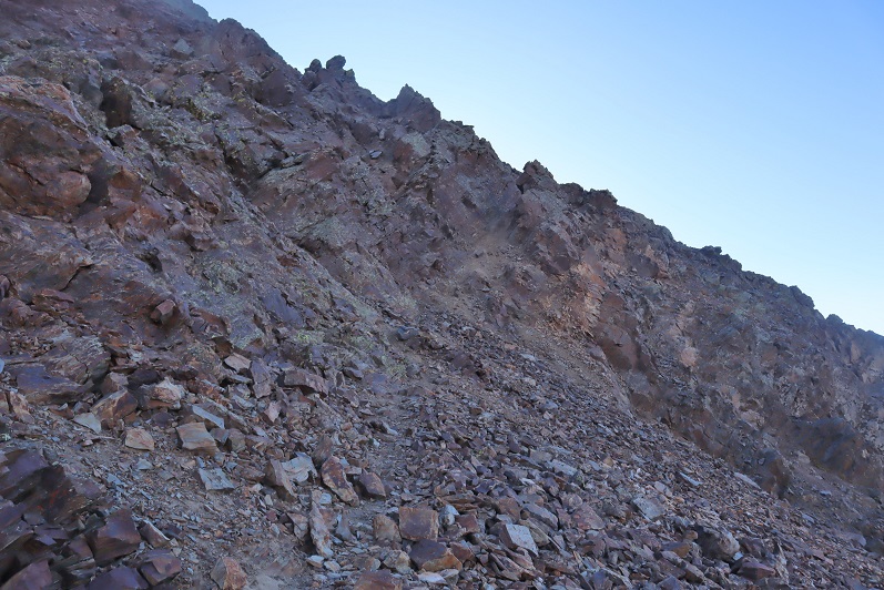
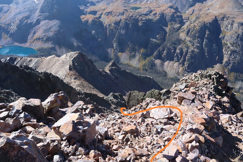
This is where it becomes choose your own adventure. The goal is to gain the ridge. There’s a lot of class 3 scrambling options to gain the ridge, but I was able to keep it class 2+ by finding lines of scree on the rocks to use. The scree was mostly sand on top of rocks, but it gave me traction to use and a path to follow. Initially I started going straight up, following the scree
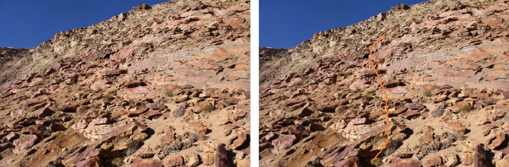
I noticed a scree ramp to my right, and took that until it ended.
Once it ended, I turned left and followed scree paths to the ridge
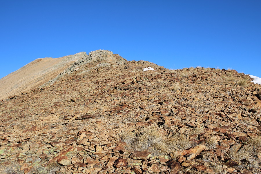
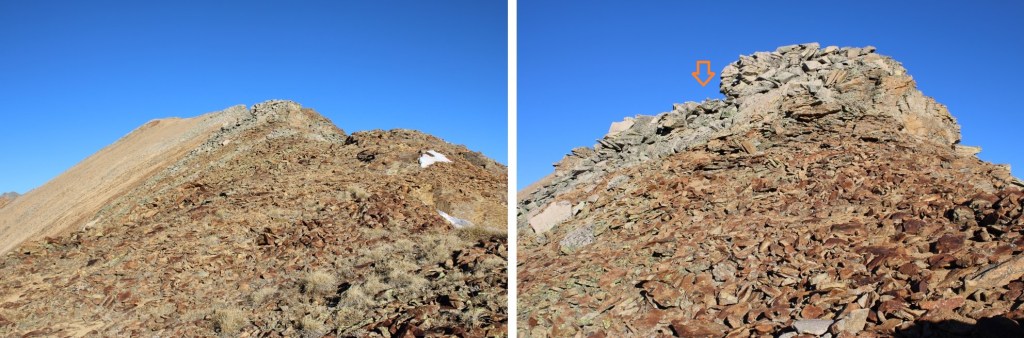
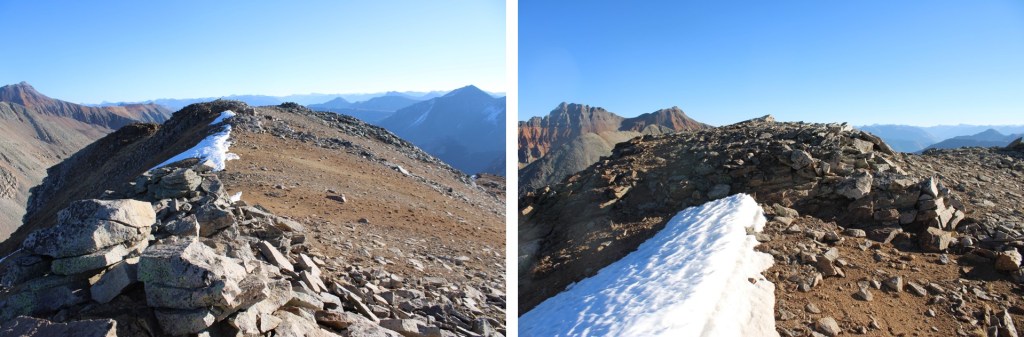
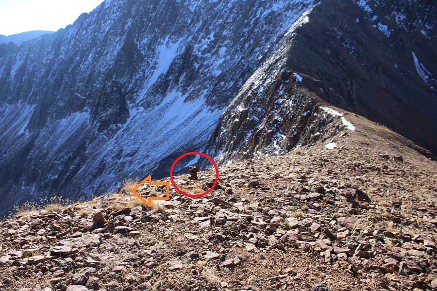
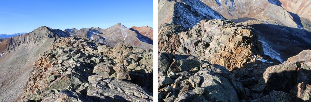
Once on the ridge, I put a small cairn to indicate where I should descend on my way back. I turned right and saw the summit of V9 to the northwest
It was an easy class 2 ridge hike on talus to get there.
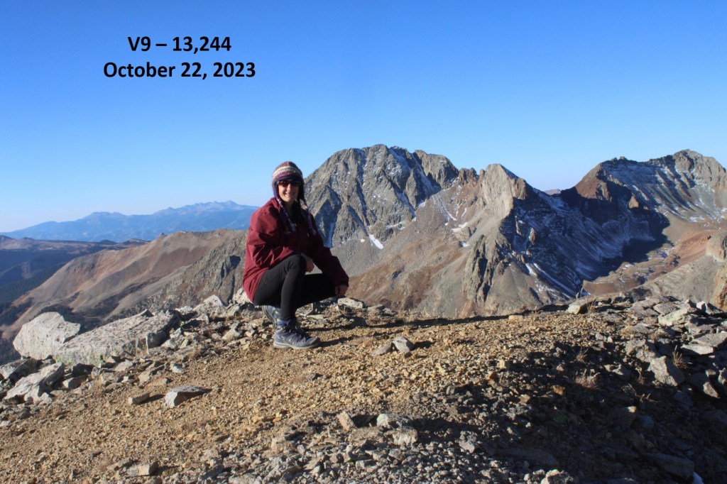
I wasn’t sure where the actual summit was, as it’s rather flat with several “bumps” that all look to be the same height. So I walked all around each of what looked like the highpoints and took a video from the middle. I summited V9 at 8:45am
V9:
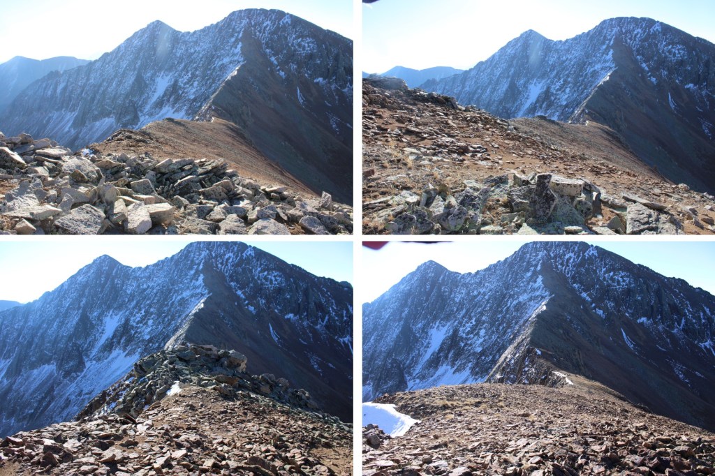
This was an out and back hike for me, so I made my way back down the ridge to where I’d placed my cairn.
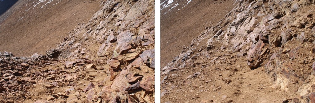
At the cairn I turned left, and headed back towards the scree ramp
I followed the ramp until it ended
And then followed scree trails to the base of the rocks
Next I made my way down the slope and back to the Lake Hope Trail
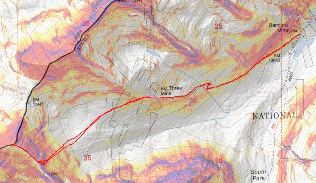
Back on the trail, I followed it northeast back to the Bandora Mine
I made it back to the Bandora Mine at 10:45am, making this a 6.96 mile hike with 2657’ of elevation gain.
I made it to the Bandora Mine the day before, and spent the day scouting potential routes.
In the evening I did a little catch and release fishing, the beavers came out of their lodges, and I saw one tail flip a coyote who got too close.
Beaver and Coyote:
Then a bull moose came strolling around, and I went to bed. I was on the trail at 6:30am the next morning. I took the trail to Lake Hope, which started just to the south of the parking area.
I took this class 1 trail southwest for about .8 miles.
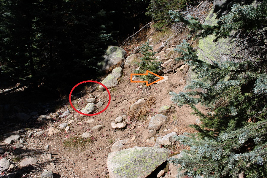
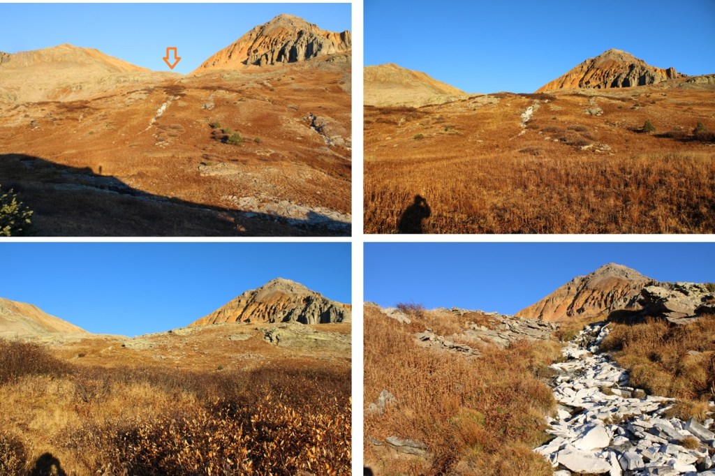
At around 11160’ of elevation I left the trail, and turned right. If you get to the Big Three Mine you’ve gone too far. I placed a cairn here, and headed north.
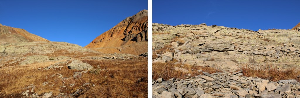
I bushwhacked north up the mountainside to treeline
I was headed here, which included some willow navigation. I found if I stayed high I could follow game trails.
Once I could see this ridge I turned left and headed northeast to a basin
I kept heading northeast, as the tundra changed over to talus
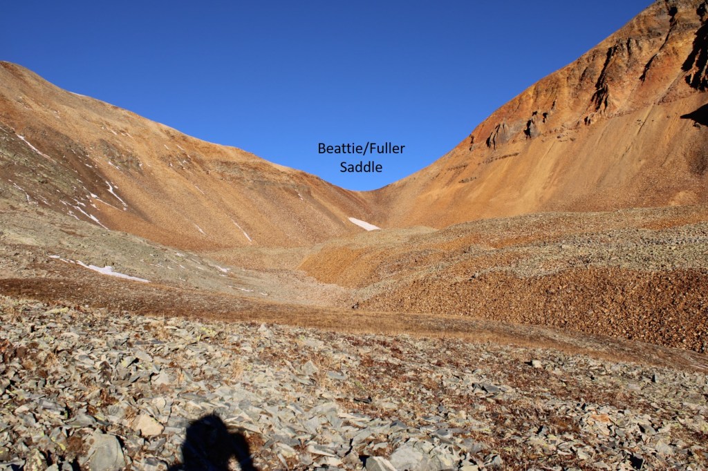
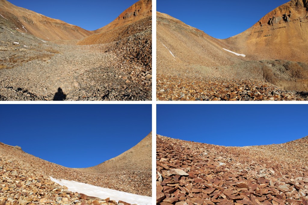
Now in the upper basin, I aimed for the Beattie/Fuller Saddle.
I stayed to the left of the snow, and found the talus was surprisingly stable.
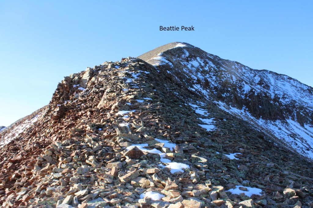
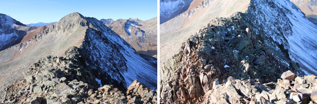
Once at the saddle, I turned left and followed the class 2 ridge to Beattie Peak
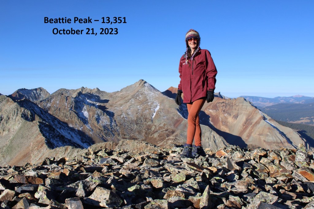
I summited Beattie Peak at 8:45am
Beattie Peak:
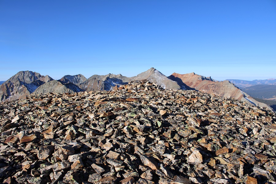
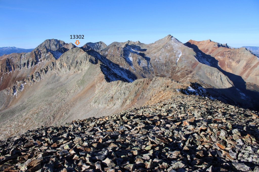
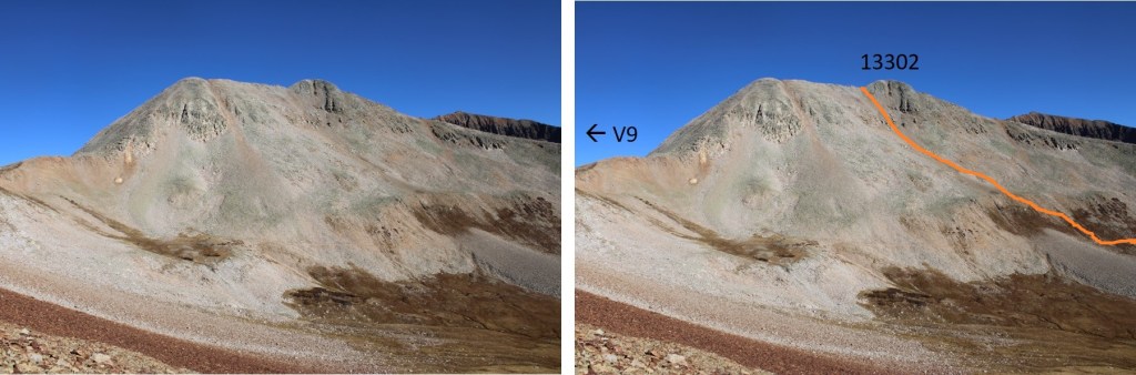
I could see PT 13302 to the southwest.
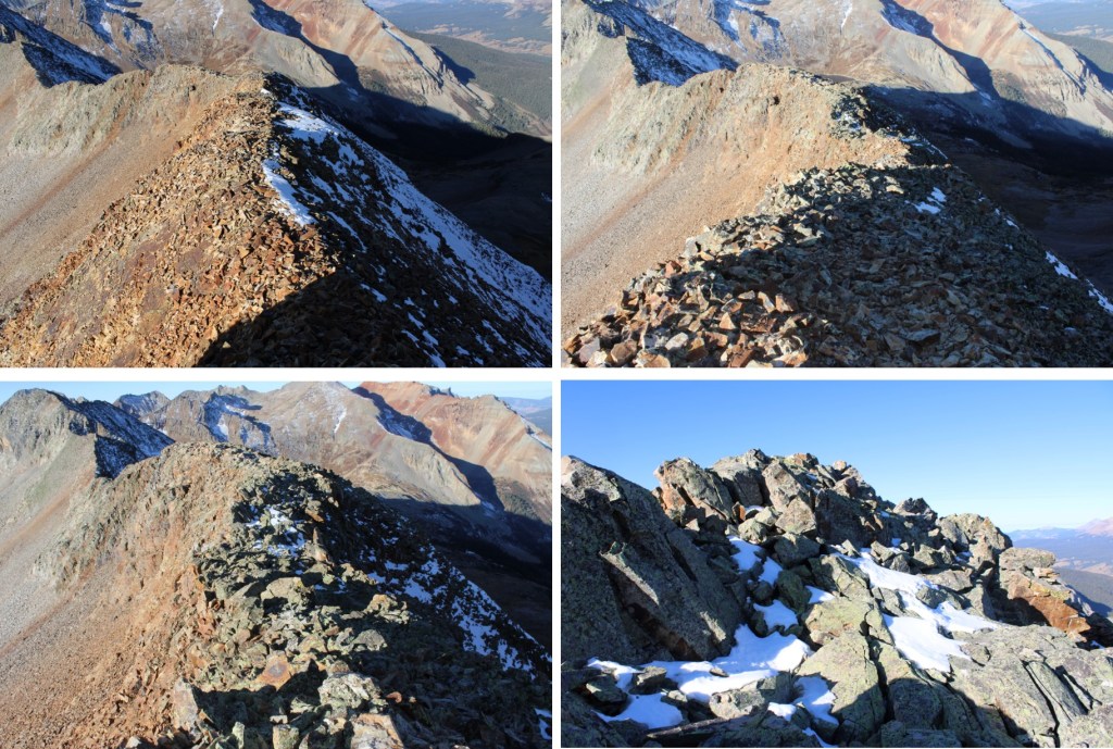
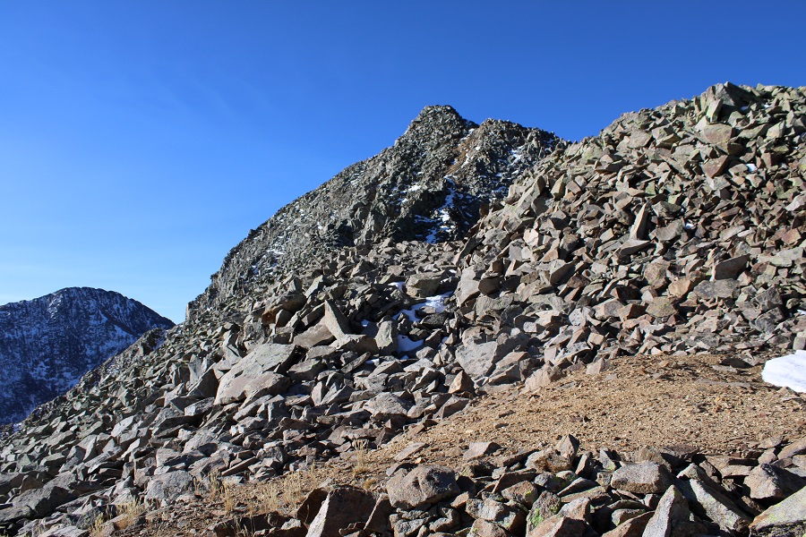
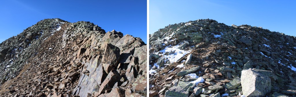
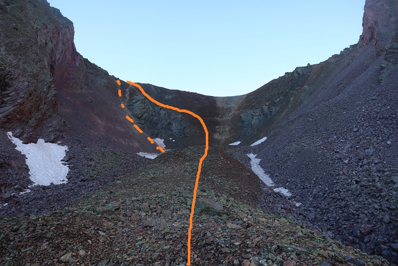
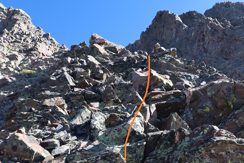
Now is a good time to put your helmet on. This is a class 3 ridge, but starts out as class 2. This is the overall route I took to get there, taking the ridge to a gully.
The initial descent of the ridge is class 2
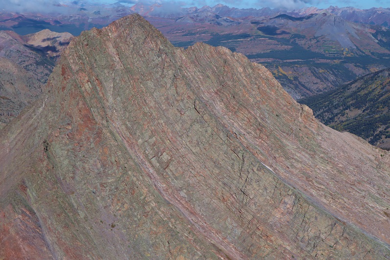
But quickly becomes narrow, sustained class 3 with exposure. The ridge proper goes at class 3, but twice I dipped down to the left to avoid the exposure involved. Here are some pictures of the ridge
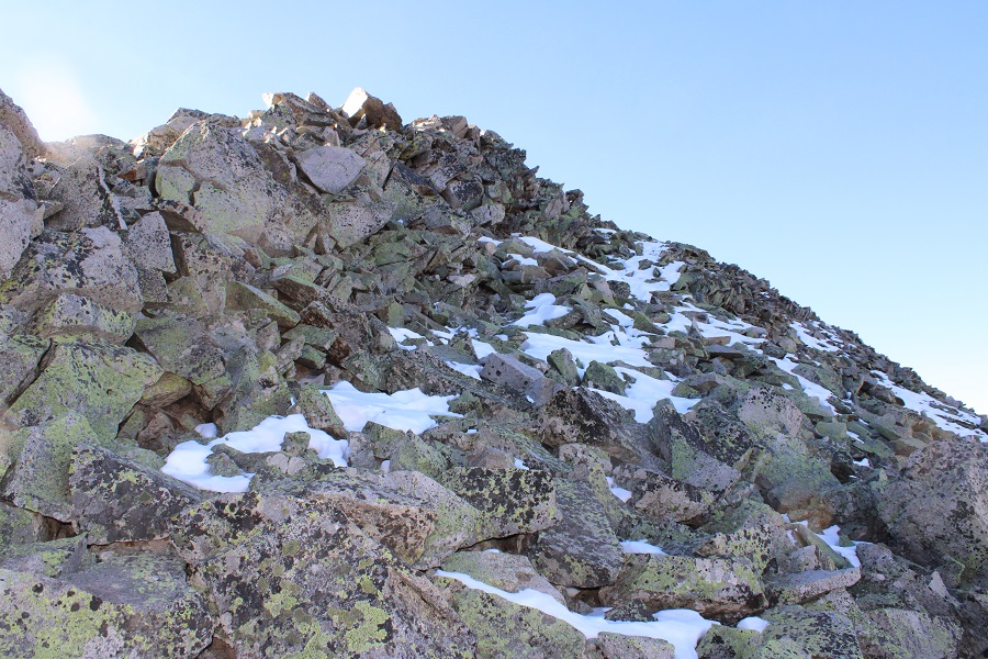
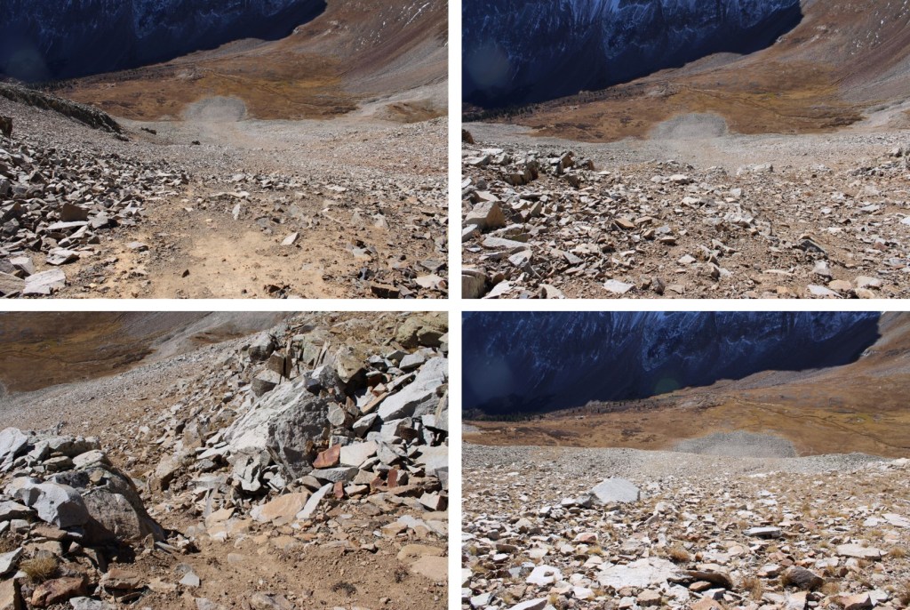
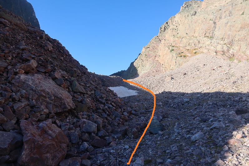
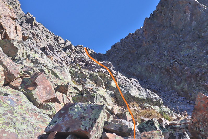
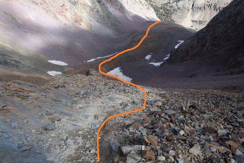
I was now at the base of the gully. Microspikes helped here.
This is the route I took
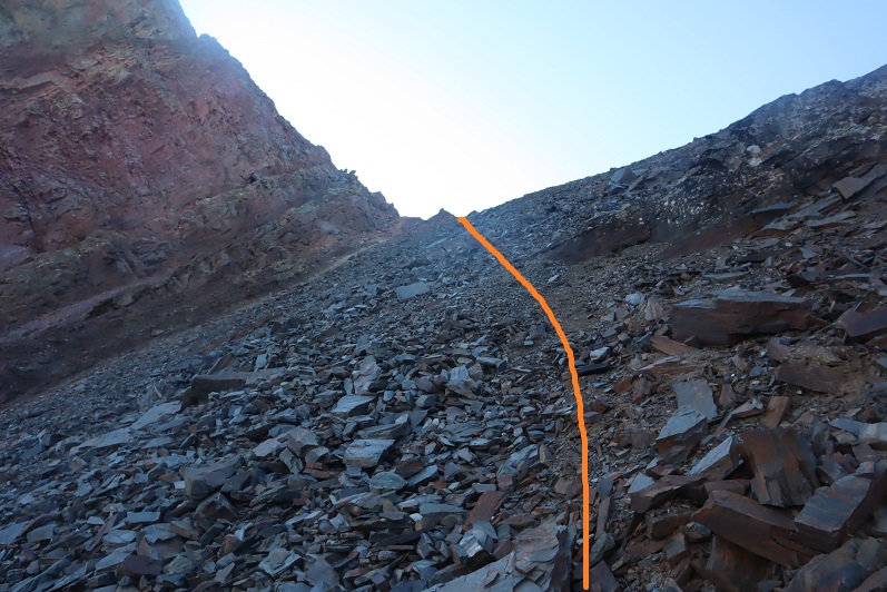
And some pictures of the gully
At the top of the gully I went right
And then I could see the final approach to the summit
This is the overall route I took to the summit
There were two summit cairns, each about 15 feet apart. They looked to be of equal height.
I summited PT 13302 at 10am
PT 13302:
I know the traditional way to descend from PT 13302 is to head southwest and down to the V9/PT 13302 saddle, but I’d been there the day before, and did not want to descend that way. Instead, I headed southwest towards a small saddle, then turned left and scree-surfed south.
This route brought me back to the Lake Hope Trail.
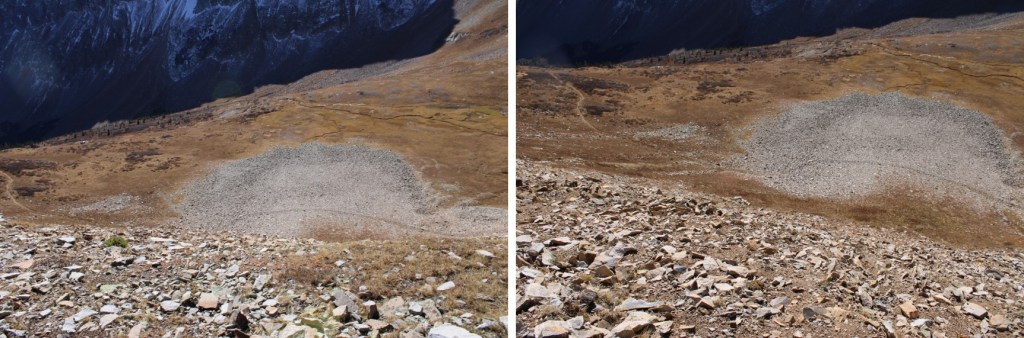
Here’s looking up at the route I scree-surfed down
And here’s an overall view of the route I took
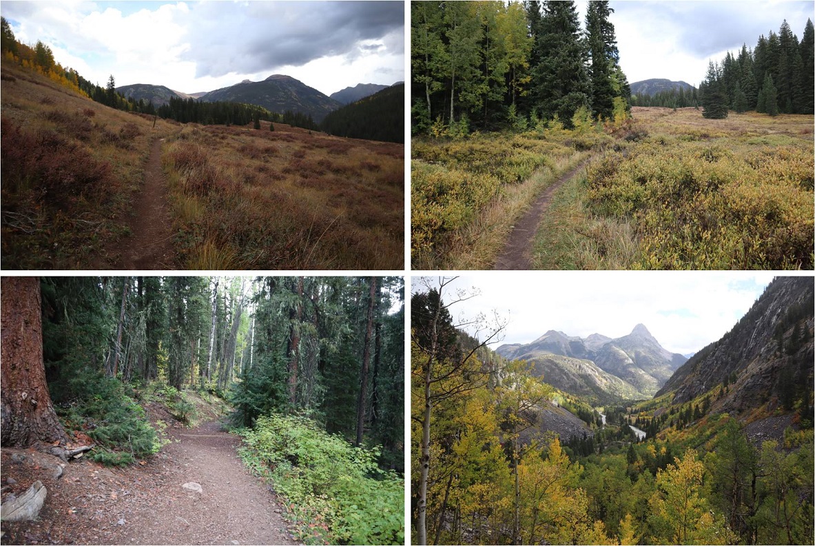
Back on the Lake Hope trail, I followed it east back to Bandora Mine
I made it back to Bandora Mine at 11:45am, making this a 6.87 mile hike with 2945’ of elevation gain in 5 hours, 15 minutes.
After a full week of work in Tennessee where I gorged myself on comfort food (fried chicken, fried oysters, collard greens, cornbread, etc.) and went highpointing in Mississippi because I could, my flight got in at 1:30pm and I drove from Denver to Molas Pass and slept for about 3 hours in my truck before waking up at 1:30am and hitting the trail. There was one other truck in the large parking area when I arrived.
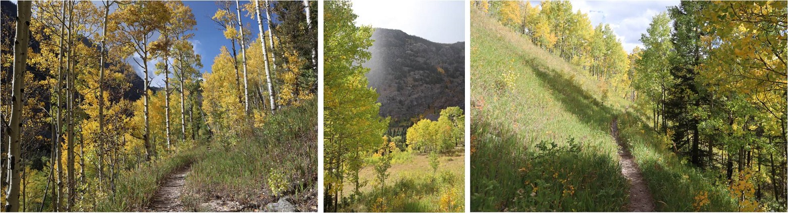
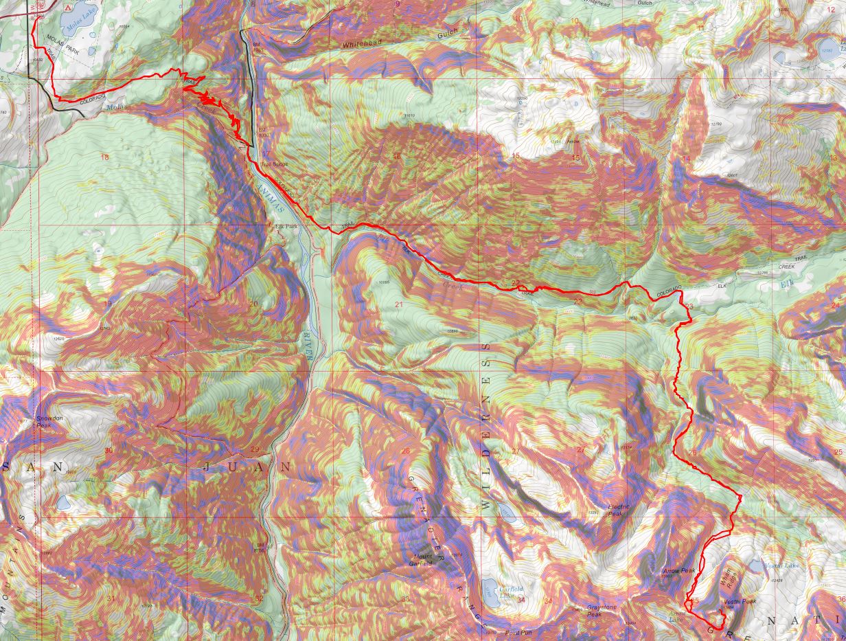
I checked the weather reports and anticipated rain/snow/wind for today so I put on my snow pants and went light on gear. Initially I’d planned on camping in the Vestal Basin and hiking Arrow and the Trinities as well, but with snow in the forecast I decided to make this a one summit/day trip. The trail started at the south end of the parking lot. It was really easy to follow and had plenty of signs
For about a mile the trail stayed pretty much level, and then it descended 1500+ feet down to the Animas River
At 3.8 miles I crossed a small creek
And heard a rustling in the bushes. I knew there was an animal about 6 feet off the trail, and it felt larger than a coyote but smaller than a bear. I tapped my trekking pole loudly against a rock a few times to flush it out/scare it away. Usually when I do this the animal quickly runs in the opposite direction, but this time it started advancing towards me in the dark. Thinking this was not a good sign I braced myself as the animal came closer to me, moving through the tall brush. Was it a rabid raccoon? A baby bear? (I swung my head from side to side: Oh no! Where’s mama???) and then suddenly it was on the trail in front of me and I realized it was a rather large beaver.
This beaver wanted nothing to do with me, it was just aiming for the trail as an escape route, and kind of looked like a land manatee (BTW, I just finished reading the book “On Trails” by Robert Moore and the experience of hiking has broadened for me and I was immediately reminded of why animals are attracted to trails. It’s a good book with no direct conclusion but connects many aspects of hiking: you should check it out).
Seeing the beaver was cool: it was much larger than I thought they’d be. The downside? I had the “Beaver Song” in my head for the next 2 hours. Not as much fun as it sounds…
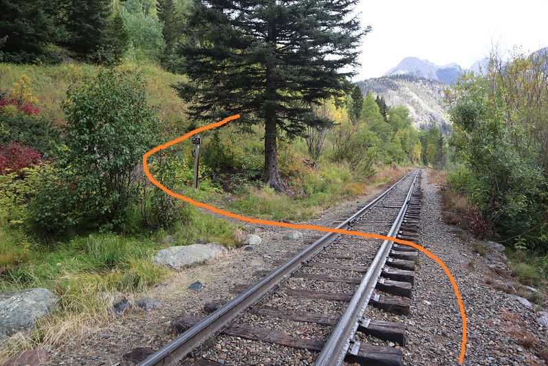
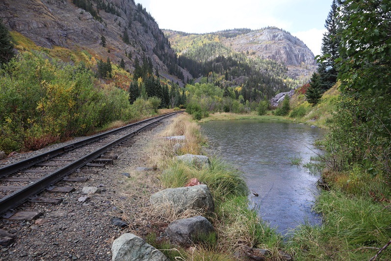
At 3.9 miles I crossed the bridge that goes over the Animas River
Turned right (southeast) and followed the train tracks for about a dozen yards, crossed the tracks, and followed the trail up the mountainside.
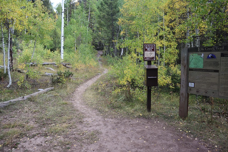
At 4.7 miles I came across the trail register and signed it in the dark.
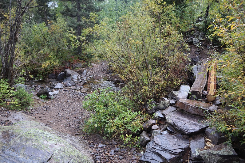
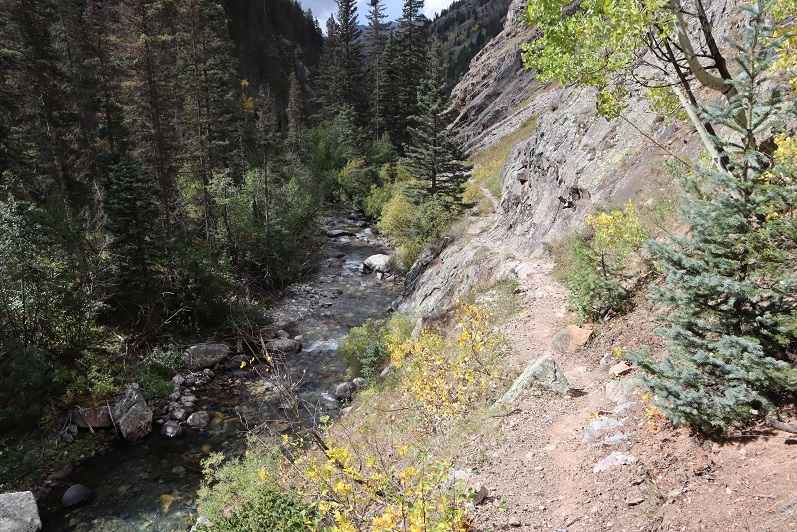
The trail parallels Elk Creek
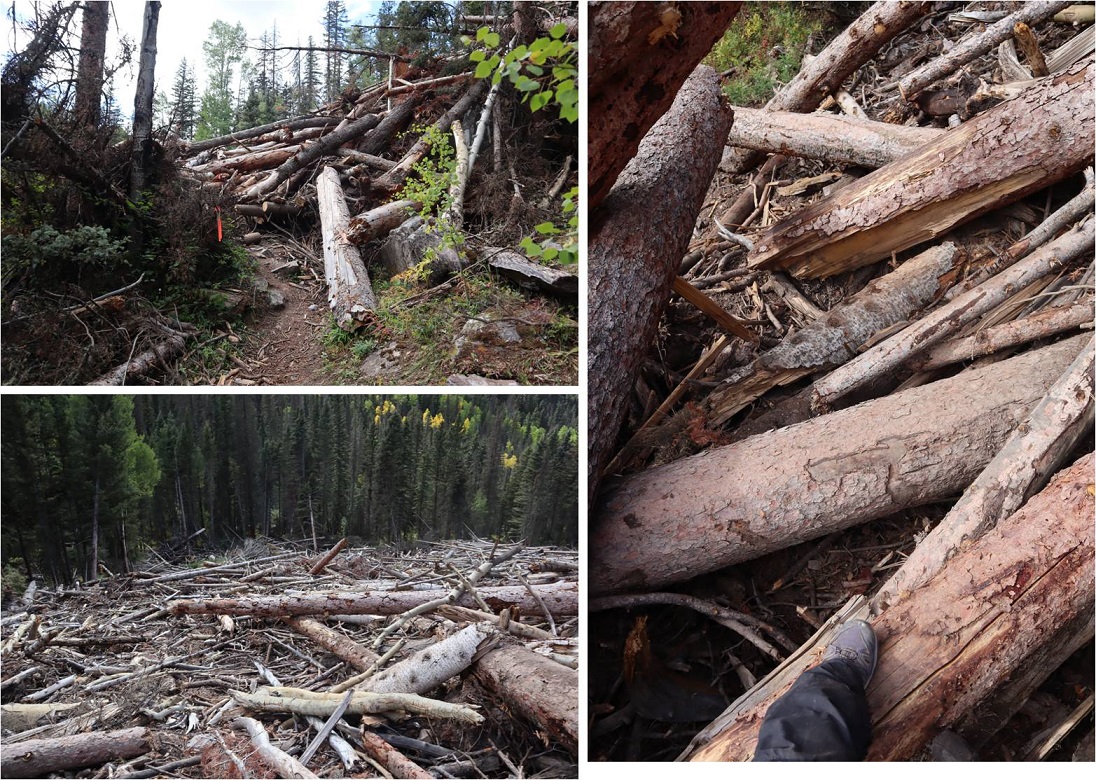
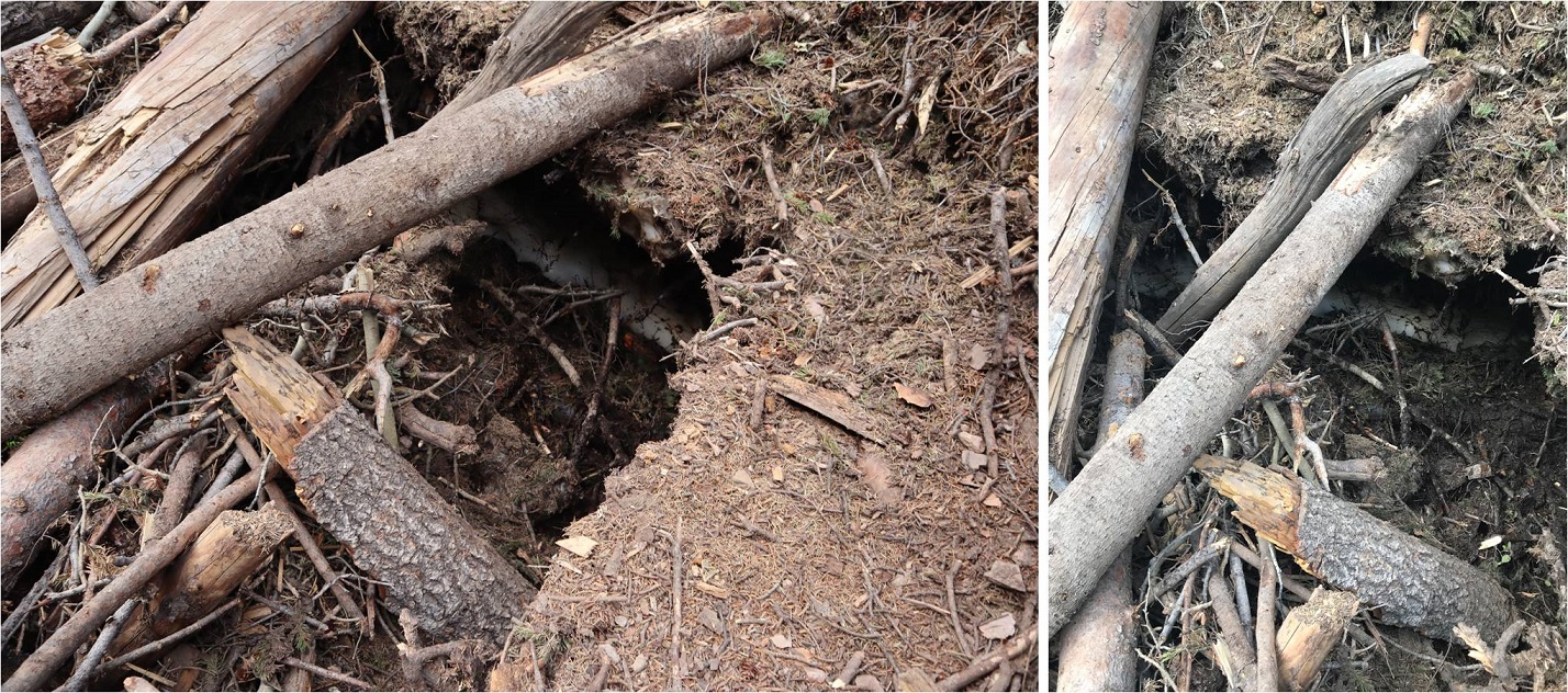
At 6.1 miles I came across the first area of avy debris. I’m guessing there were 3-4 slides all in close proximity that kind of ran together. I’d heard there’d been avalanches here and to just follow the marked tape through them, but was surprised at how dense and large the debris was. I was able to follow the marking tape easily through the first area but got lost in the second and ended up climbing a little higher than necessary.
In the daylight I had no issues getting across the debris, but noticed there’s still ice and snow under the logs that’s melting and forming caverns, so be careful where you step! There were flies circling the debris.
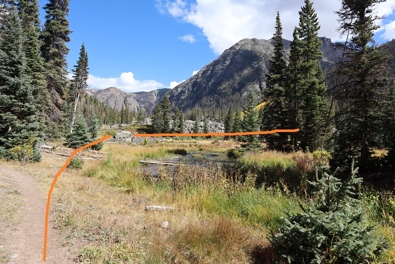
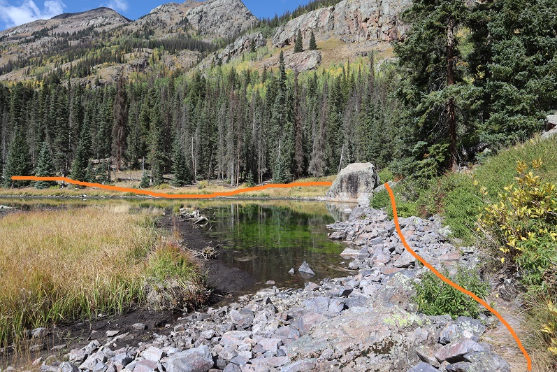
After the avy area I came across some beaver ponds and turned right (south). The best place to do this was just after the large boulder: the trail parallels a pond at this point
There was a good camping spot after the beaver ponds. Side note: anyone else’s carabineers hanging off your pack double as bear bells?
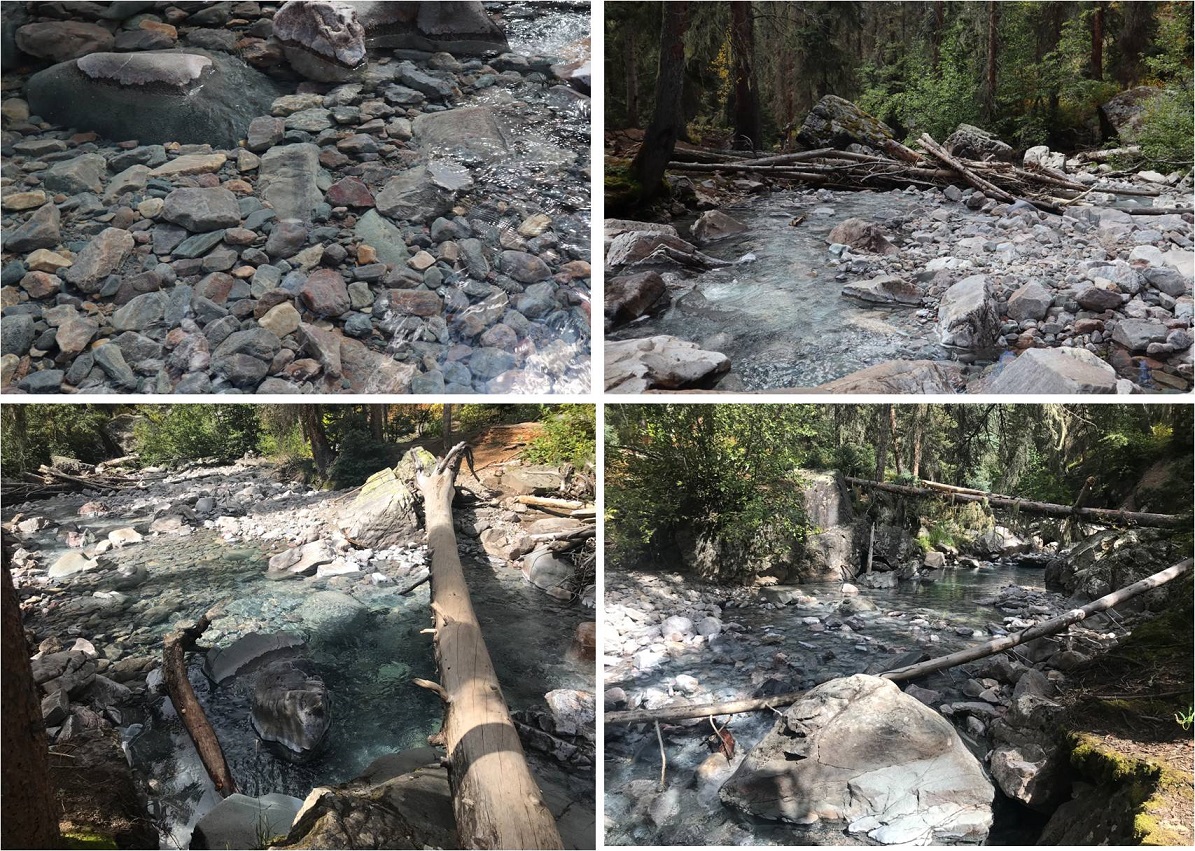
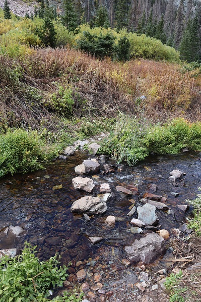
Mile 7 was the mile of creek crossings. What I couldn’t tell in the dark was this was some extremely clear water (it was refreshing on the way back to dip my bandana in it and cool off). All of the creek crossings were easy and had several options (rocks and fallen trees abound)
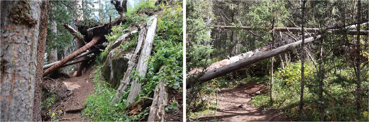
The trail continued to climb up the mountainside. There were frequently fallen trees on the trail (not from avalanches) but they were all passable and for once I celebrated in being short because I could pass under them easily.
This part of the hike was really cool because I started hearing elk bugling. I tried to get some of it on video but it’s hard to hear (turn your volume to the max). The bugling lasted for over an hour and came from all directions.
Elk Bugling:
The trail was well defined all the way to the basin. I reached the basin at 9.1 miles, just as the sun was coming up. There was a light dusting of snow on the Trinities.
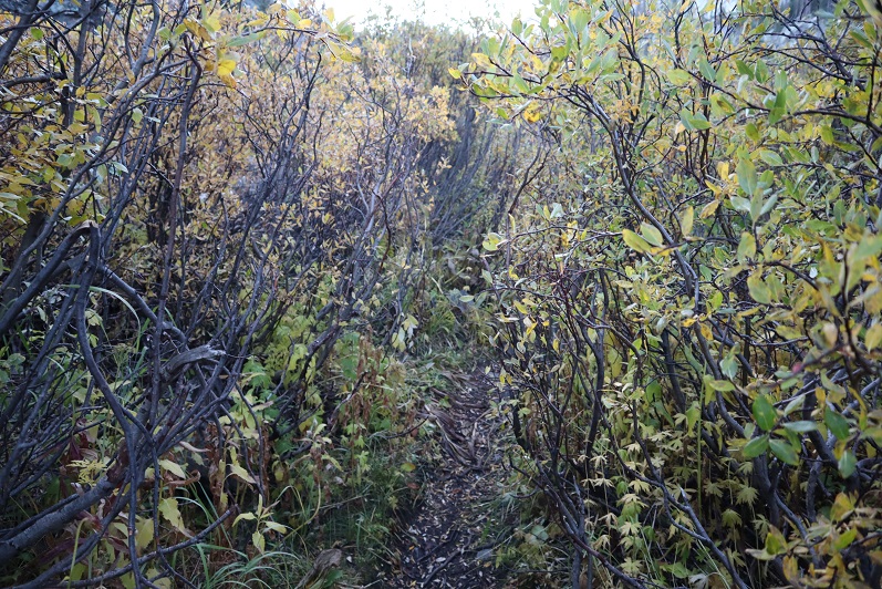
I followed the trail through the willows and lost one of my gloves. No worries though, because of my Raynaud’s I always bring at least 2 pairs (I had 3 today).
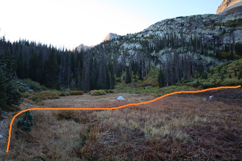
There’s an obvious campsite in the basin. I turned right (southwest) at the campsite at 9.8 miles- 11,380’, careful not to make too much noise because the campers were obviously still sleeping.
The trail crosses another small creek
And then climbs up the hill to another (rocky) basin/amphitheater
This is where the trail ends. I made my way over the talus, hiking closer to Arrow than Vestal
The goal is to gain the saddle at the top of the gully. This was harder than it sounds because that scree/talus is terrible. I was glad I’d worn my helmet. I strapped on my microspikes and took the solid line up, dotted line down. I’d do it the same way if I did it again.
Once on the saddle I headed southeast around the backside of Vestal
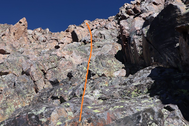
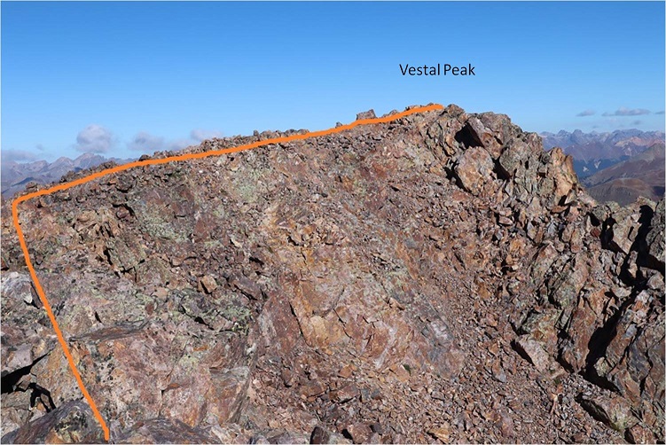
This eventually led me to an area of the mountain separated by a gully. Here I turned left (north) and climbed what I’d consider class 3 terrain towards the summit, careful not to go into the gully, aiming for where the gully originates.
At the top there’s a false summit, but the true summit isn’t far off
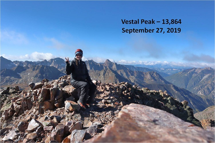
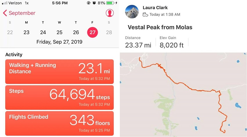
I summited Vestal Peak, my 100th Centennial, at 10am, after 8.5 hours and 11.4 miles of hiking.
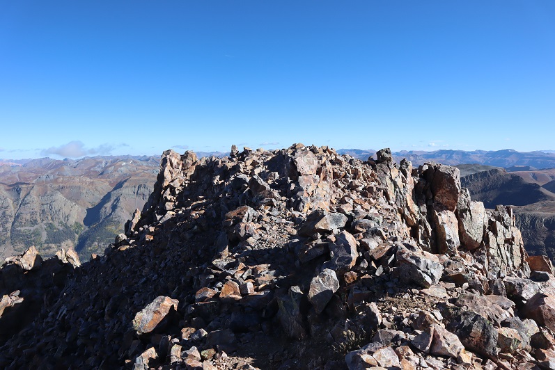
Vestal Summit:
Despite the forecasted winds and cold temperatures and rain/snow it was a perfect day! I spent over half an hour on the summit, something I’ve rarely done, and took pictures of the Grenadier range and the beauty of the San Juans
Knowing the weather was nice now but it was supposed to turn I decided it was time to head back.
Here’s the path I took back down into the talus basin
It wasn’t pretty. In fact, I did something to a ligament in my ankle and it became very sore on the way down (still hurts, but it’s just bruised)
I decided to keep my microspikes on until I made it back down to the camping area. As I approached the area above the campsite I could hear someone shouting excitedly about nothing in particular and it looked like there were two people just finishing tearing down their tent. I figured it was a parent and child out camping and slowed down a bit to give them time to head out before me.
At the camping area I sat down for a bit, enjoyed lunch (peanut butter and pretzels) and took off my microspikes.
Here’s a look heading out of the basin
I found my lost glove (woot!) and caught up to the couple within about a mile of hiking. They were two girls in their early 20s who were out backpacking together. They seemed like they were having a terrific time (or high on something: I don’t judge) and were wonderfully boisterous. One of their boyfriends had dropped them off at one trailhead and was picking them up tonight at another one so they could make it a longer trip. We chatted for a bit and then I was on my way. The best part about the conversation? No one mentioned we were women out here alone.
The hike out was beautiful in the daylight. I made it back to the beaver pond area (I suspect the beavers moved to down by the Animas river because there’s no current sign they’re here anymore).
The avalanche area was much easier navigated in the daylight. I followed the Elk Creek Trail back to the Animas River
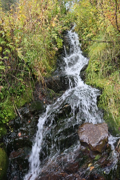
There were a few waterfalls along the way
I made it back to the trail register and even though it was sunny it started raining. For the rest of the hike it rained and didn’t stop. I was glad I’d worn waterproof clothing, even if it hadn’t been needed for much of the day. The rain was nice in the beginning but eventually the thunder started and I got a bit antsy. It was a beautiful hike out though, and much better than the trail back to the Purgatory trailhead (I’d take Molas over Purgatory any day).
The downside to the rain was the mud. It got really bad about half a mile before the trailhead and mud was starting to stick in layers to my boots. The last mile felt like it took forever to finish, but that was most likely because by this time I was quite tired. I’d made a good decision to make this a day trip: as I turned and looked back at the Vestal Basin I could see it was covered in dark clouds full of rain/snow/graupel/etc.
I made it back to my truck at 5:30pm, making this a 23.5 mile hike with 8020’ of elevation gain in 16 hours.
I changed in my truck into new hiking clothes and took a quick wet-wipe bath. I re-braided my hair, ate a packet of tuna and drove to the next trailhead. It rained the entire 5 hour drive there.