Ouzel Peak – 12,704 and Ogalalla Peak – 13,154

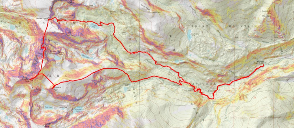
RT Length:  20.7 miles

Elevation Gain:  5309’

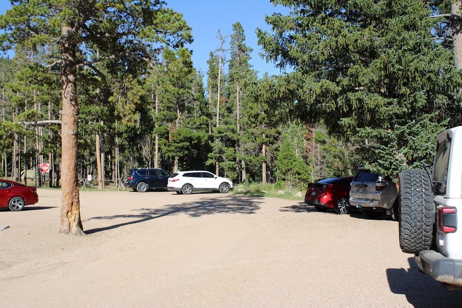
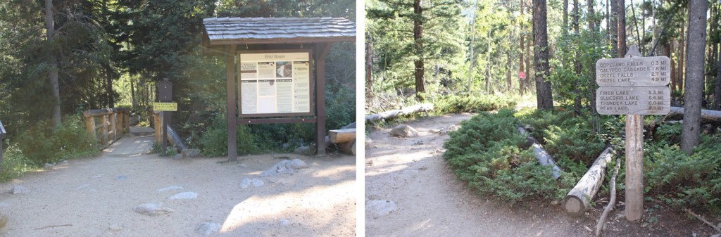
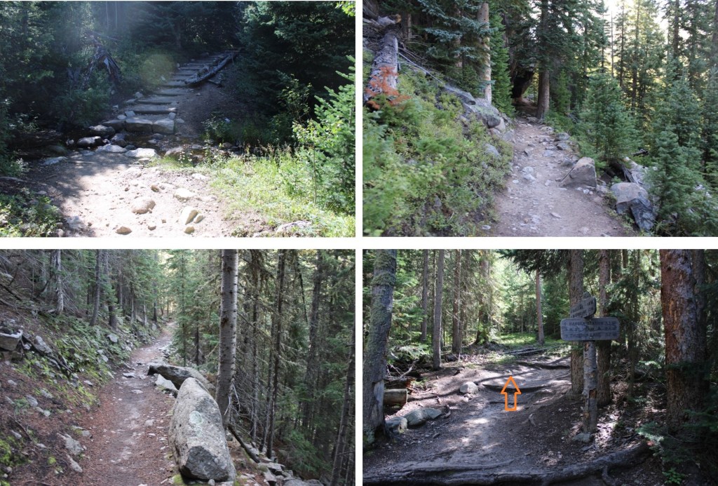
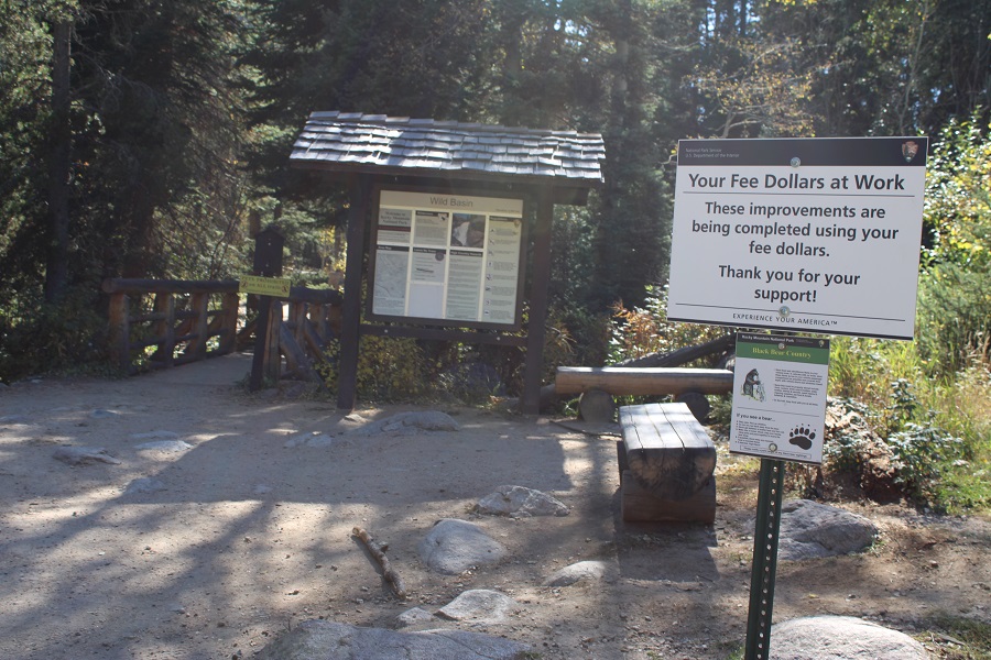
I’m going to do my best to keep this class 2/2+ here.  I made it unnecessarily class 3 in areas, but they can be avoided.  I started at the Wild Basin Trailhead in Rocky Mountain National Park.  I was on the trail at 4am.  The beginning of the trail is obvious.

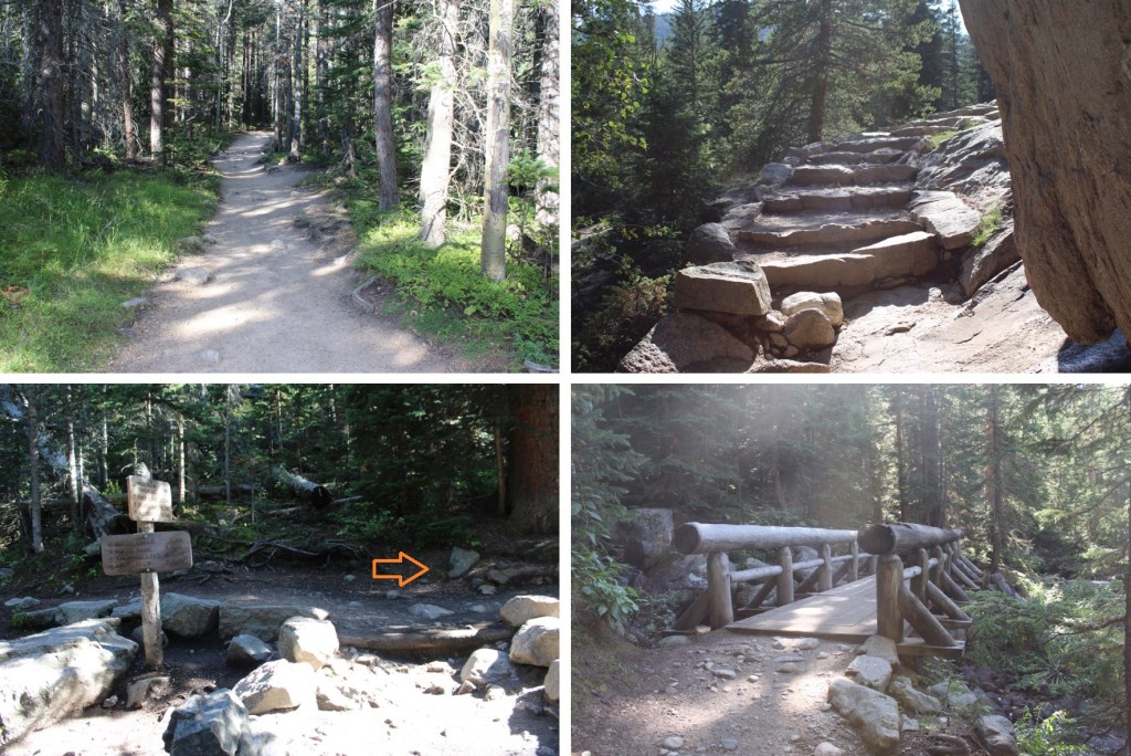
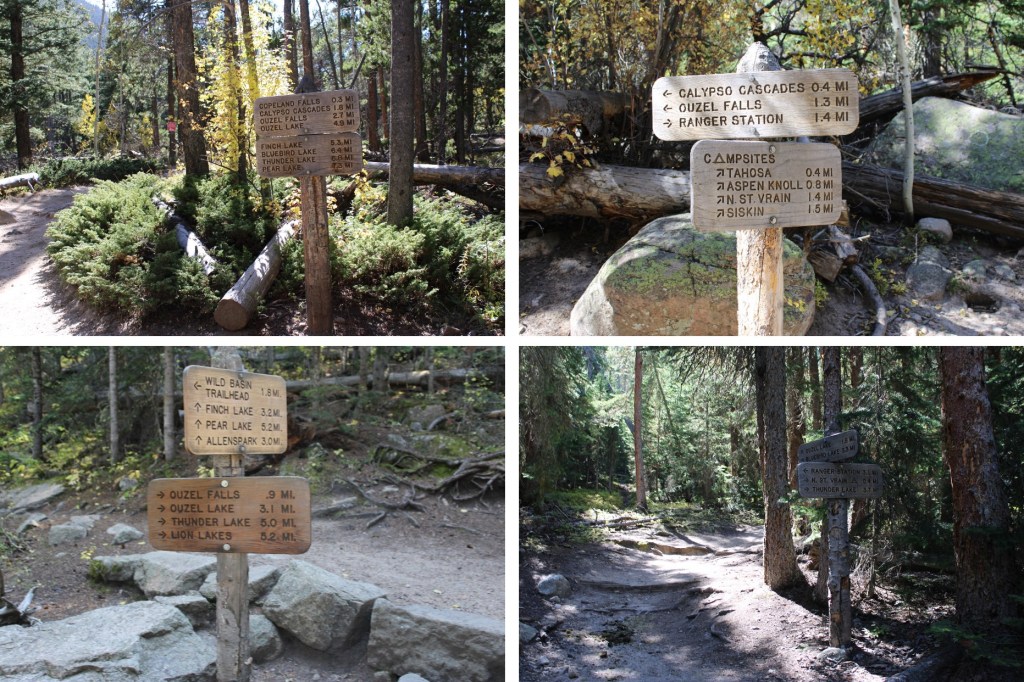
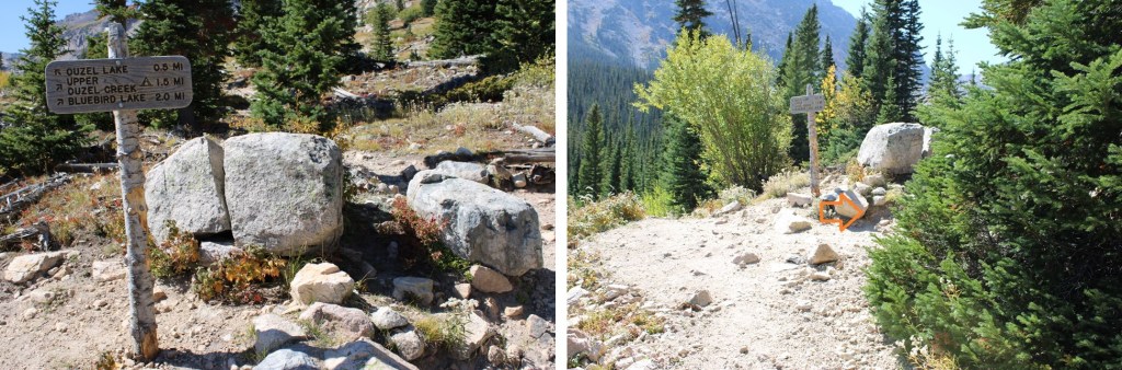
I’m not going to detail the approach to Bluebird Lake, as I’ve already done that in previous reports and the trail is class 1 trail the entire way.  Just follow the signs towards Bluebird Lake.  If Bluebird Lake isn’t on the sign, follow the one that says Ouzel Lake.  The signs say it’s 6.4 miles to Bluebird Lake.   

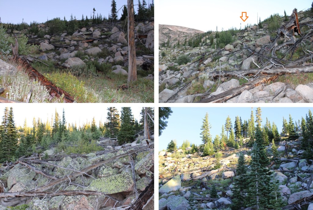
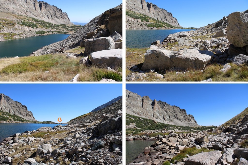
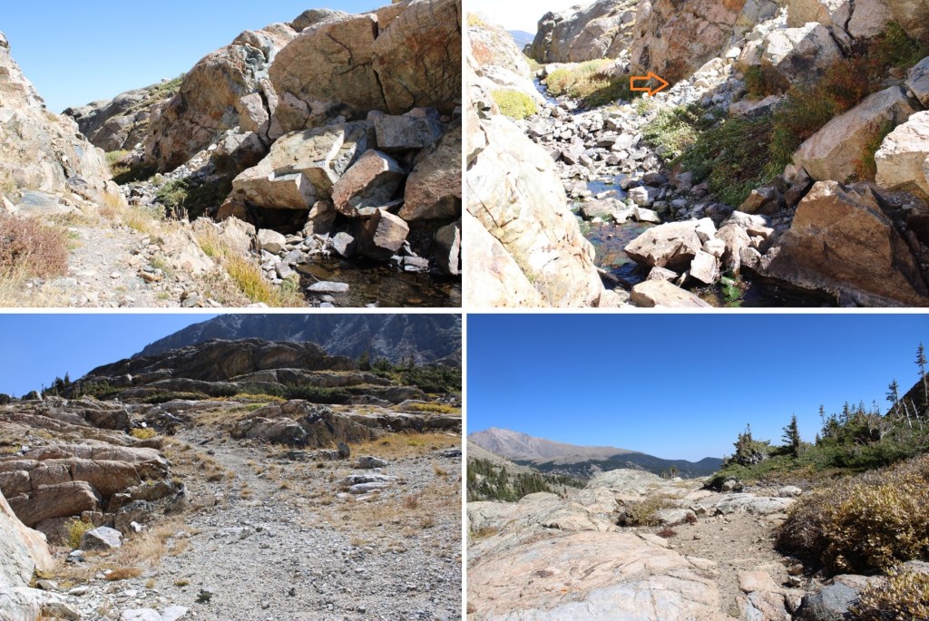
Now the fun begins!  The class 1 trail that got me to Bluebird Lake stopped at Bluebird Lake. 

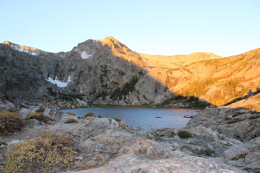
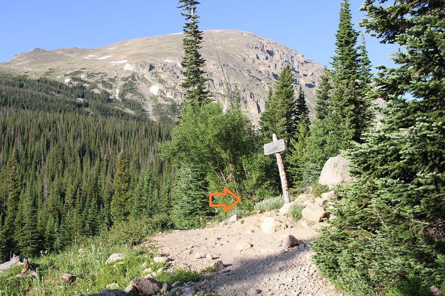
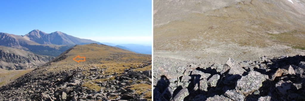
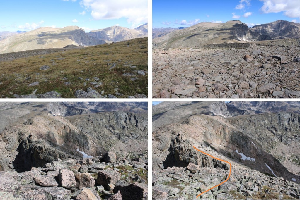
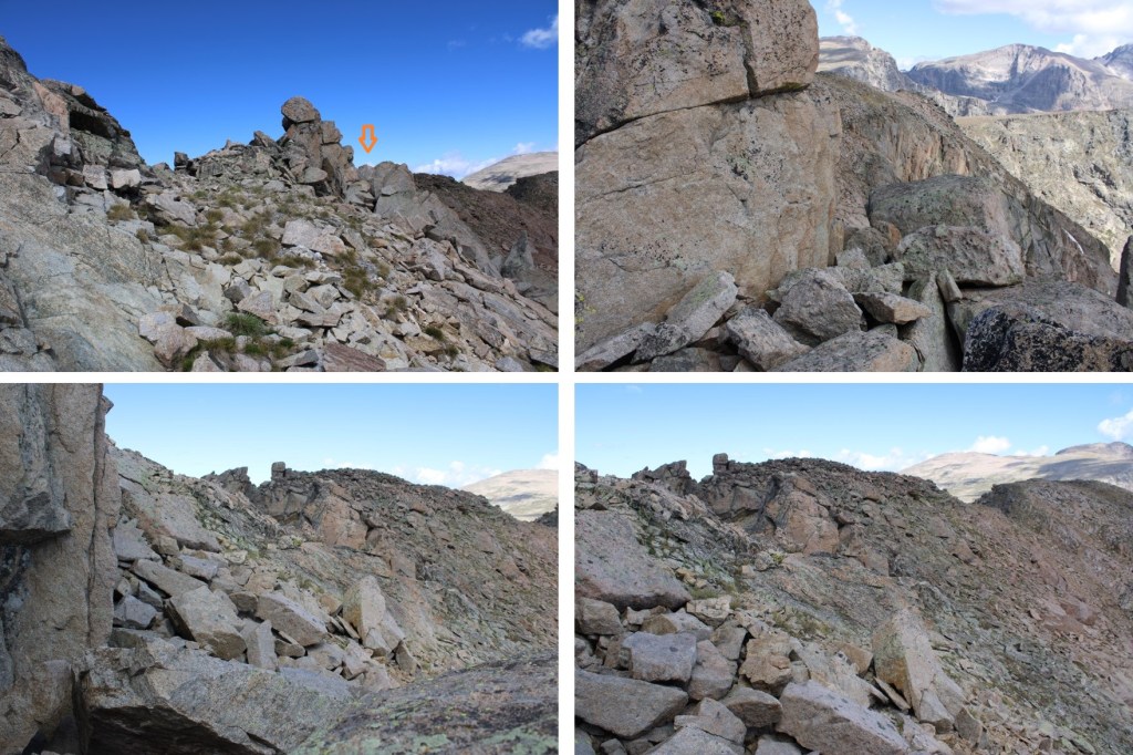
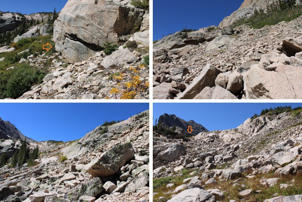
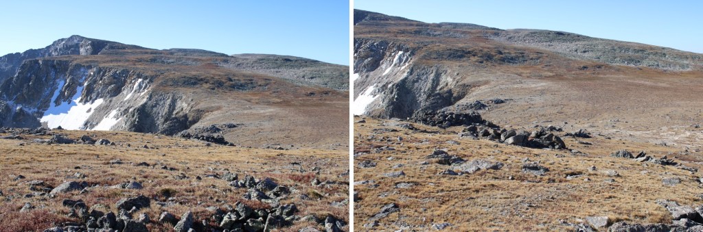
I was able to find some faint game trails here, but like I said, they were faint. This was my next objective, a ramp in the distance:

And my overall route to get there. 

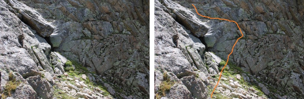
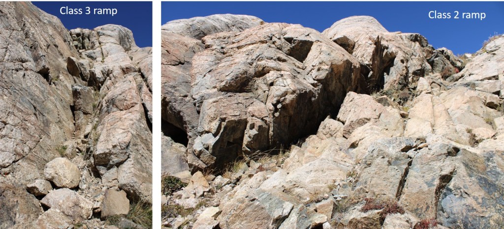
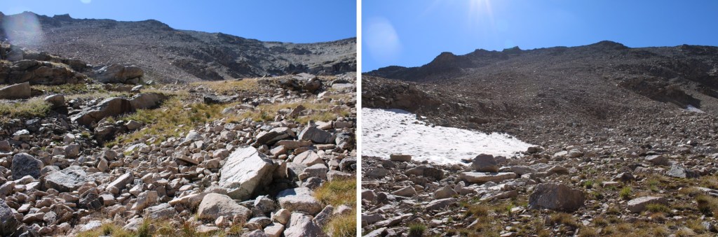
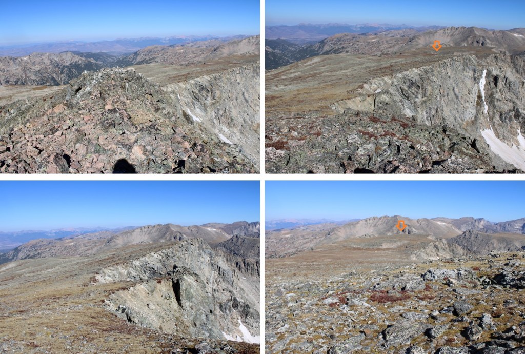
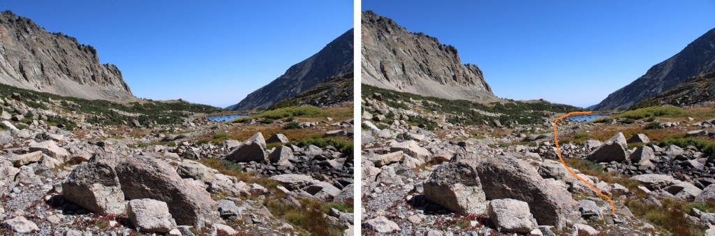
I was able to keep this class 2, but there are class 3 options.  First, I descended down to the lake, then ascended a class 2 ramp.  There’s an easy class 3 ramp here as well.

At the top of the ramps was a trail for a short distance heading west.

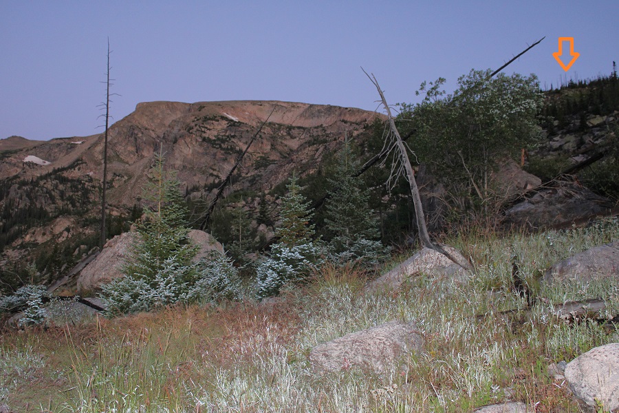
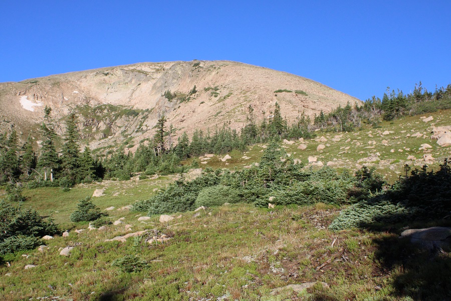
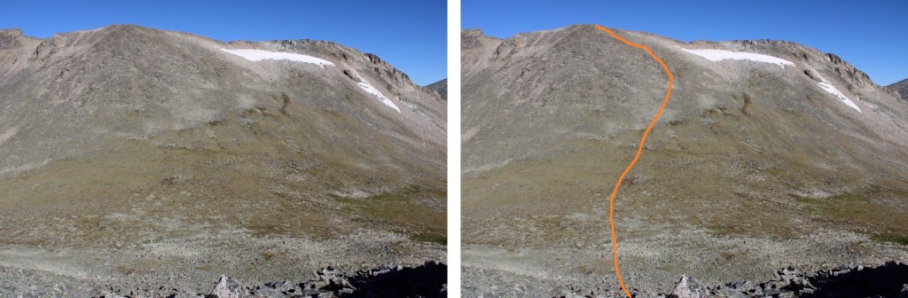
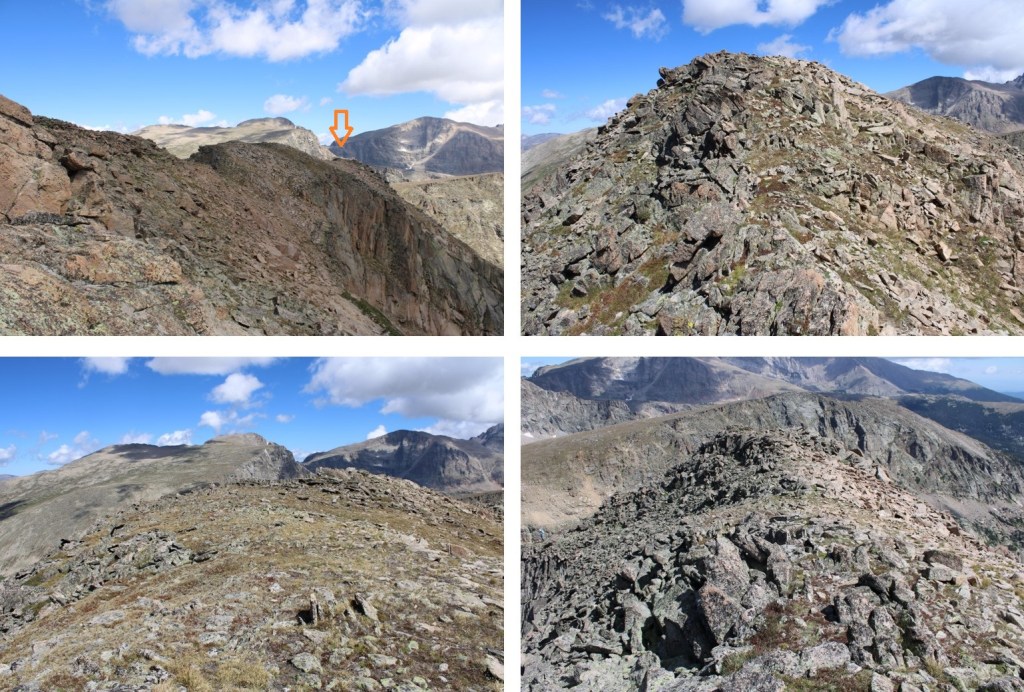
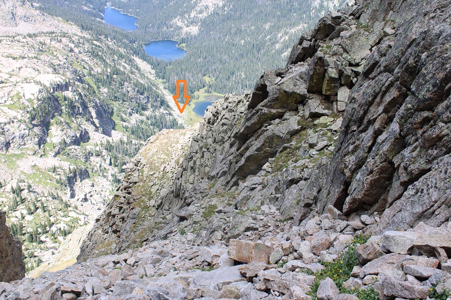
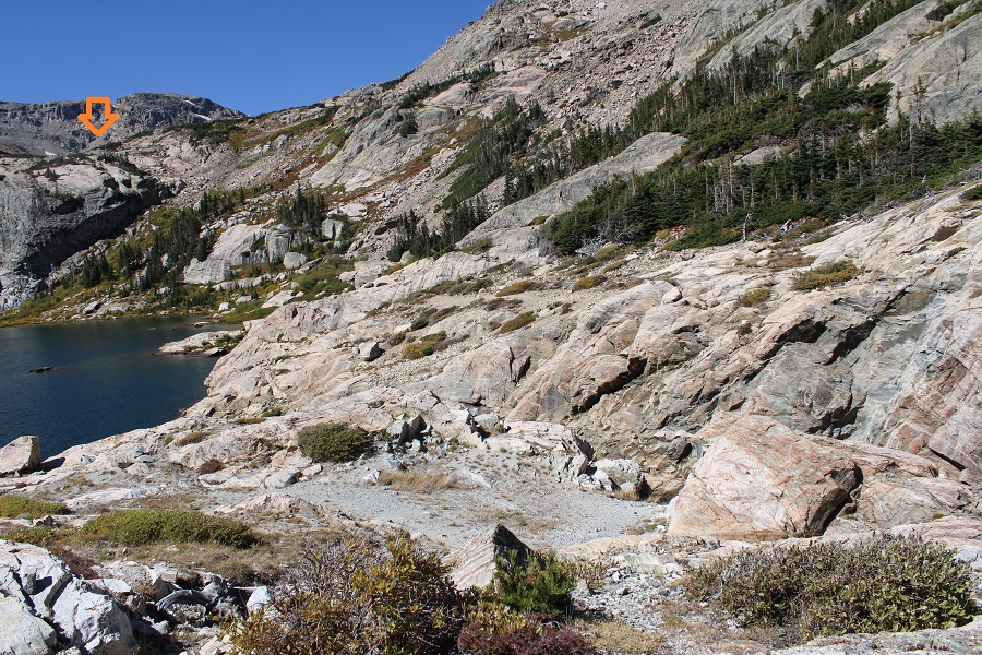
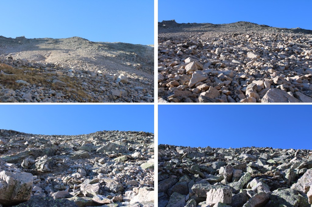
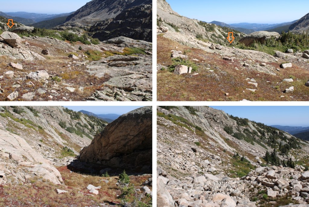
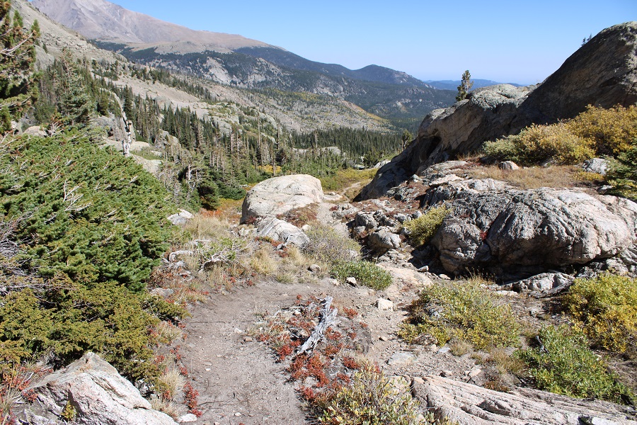
This is the route I took to get to Lark Pond, aiming for a ramp in the distance

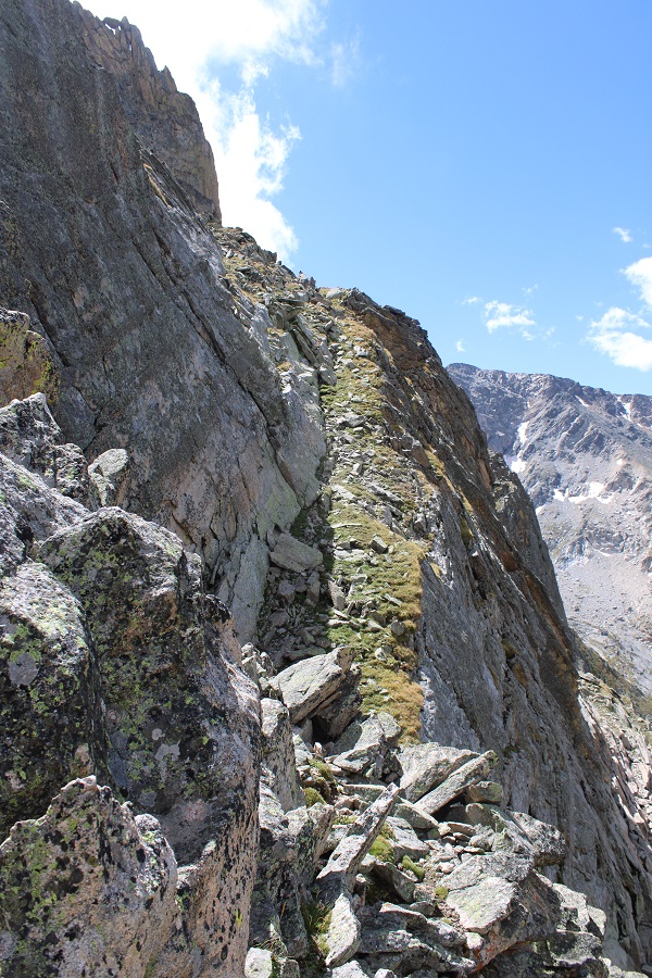
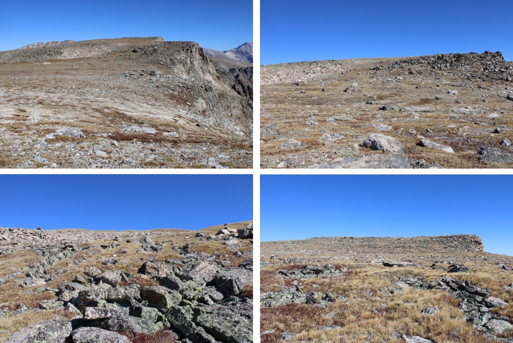
And some step-by-step pictures

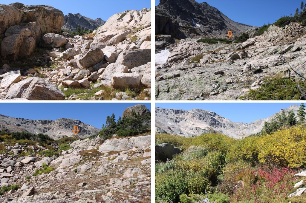
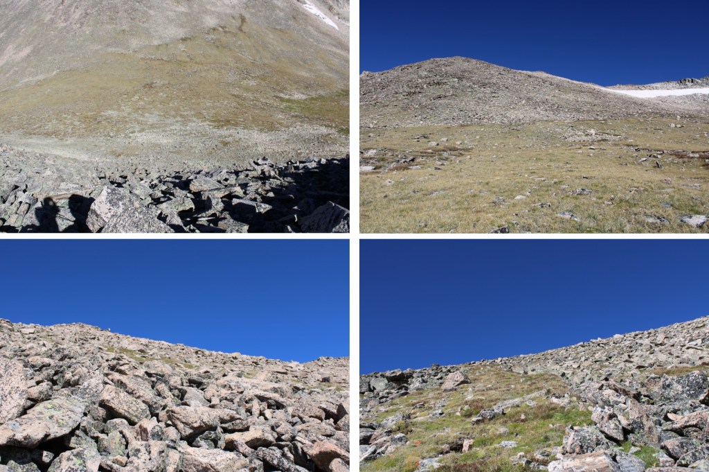
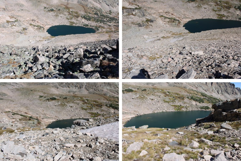
Now at Lark Pond, I stayed to the right of the pond to get to Pipit Lake.  There weren’t any trails here.
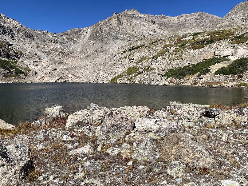
Yay!  Pipit Lake!

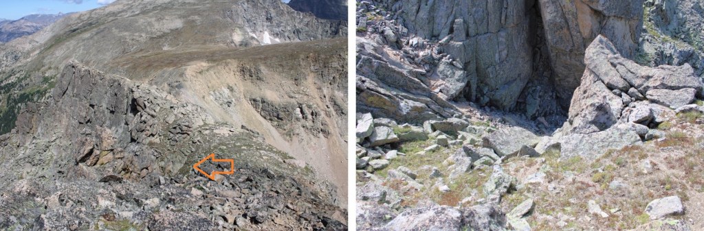
I skirted the left side of the lake, heading towards the grassy gully.  This involved rock hopping on stable rock.

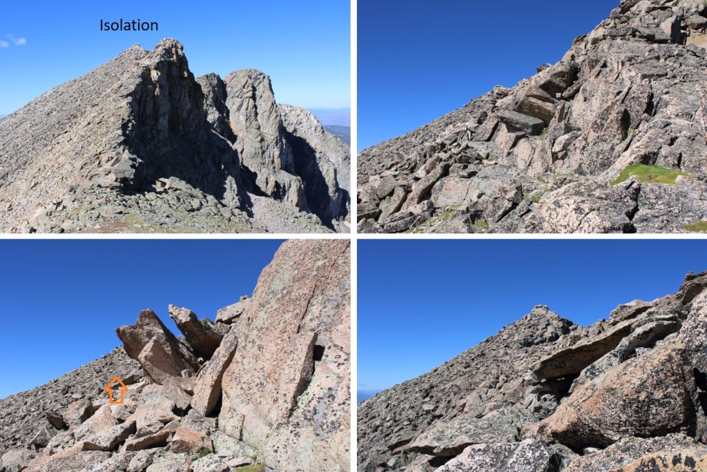
If you’re following my GPX file, you’ll note I ascended to the left on the rocky area.  I wouldn’t recommend this, as it’s extremely steep.  I ended up gravitating towards the rocks to avoid the steepness of the scree, and got into sketchy class 3 territory (lots of very lose rocks the size of bowling balls on top and around larger rocks, forming small, unstable gullies).  Instead, this can be kept class 2 by taking the grassy gully up.

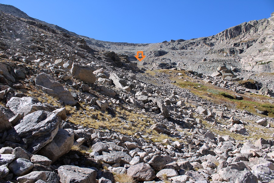
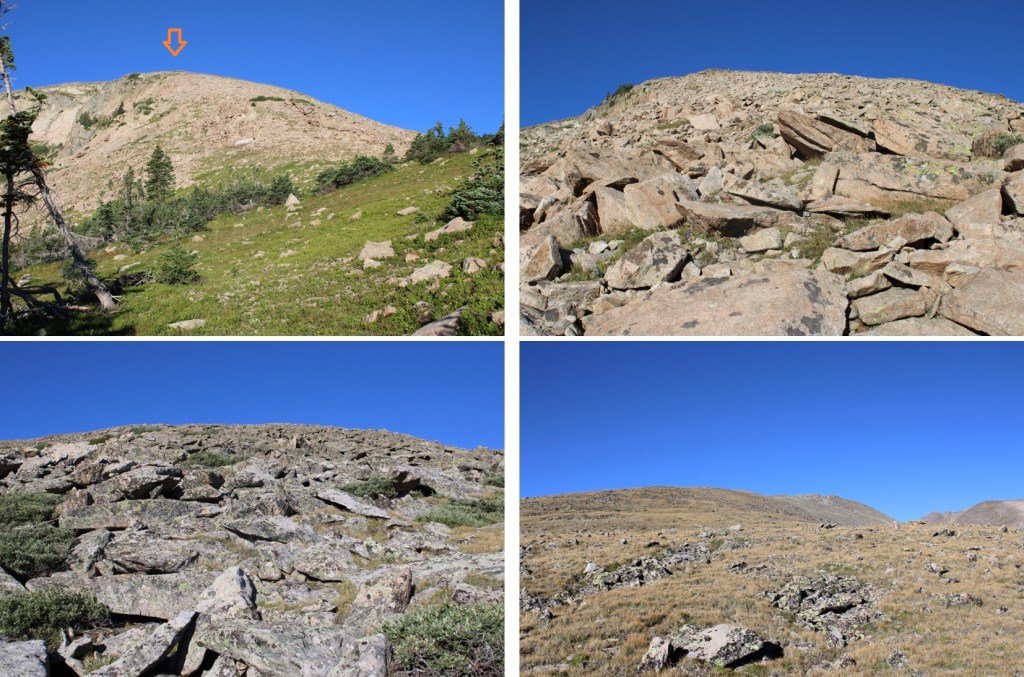
Once at the top of the grassy gully I turned left, and ascended the slope.  Yes, it’s steep.  This is class 2+, but luckily there isn’t a lot of scree.  Instead, these rocks are fairly stable (still check your footing for loose rocks).  This is also choose your own adventure.  The entire slope goes.  It’s about 1200’ of elevation gain from Pipit Lake to the ridge.

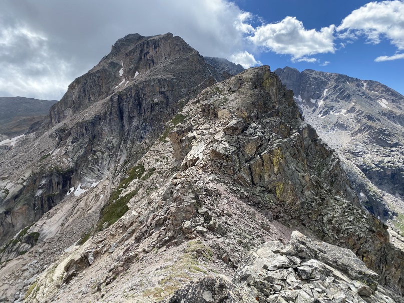
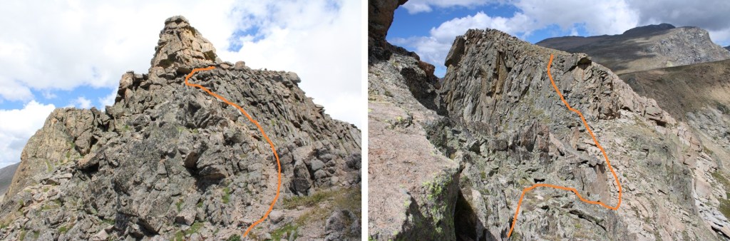
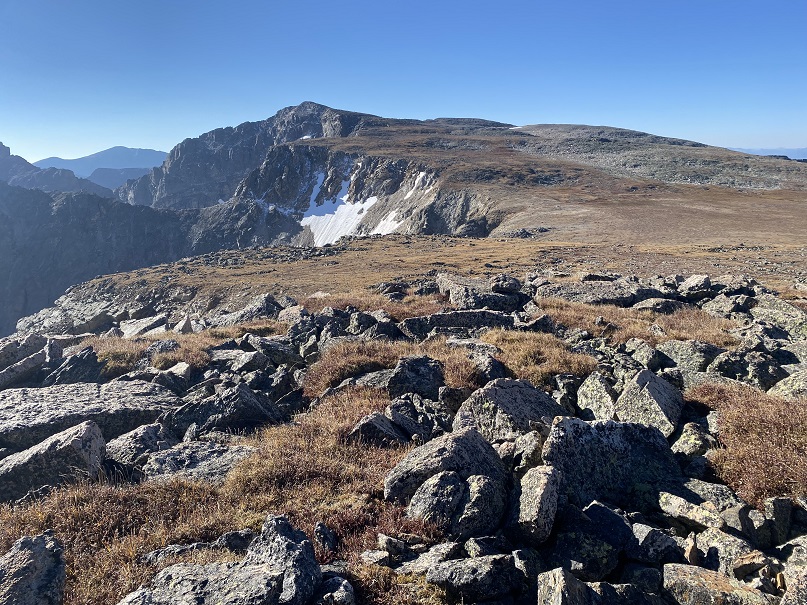
At the top of the rock slope I turned left, and walked the short distance to the summit of unranked Ouzel Peak

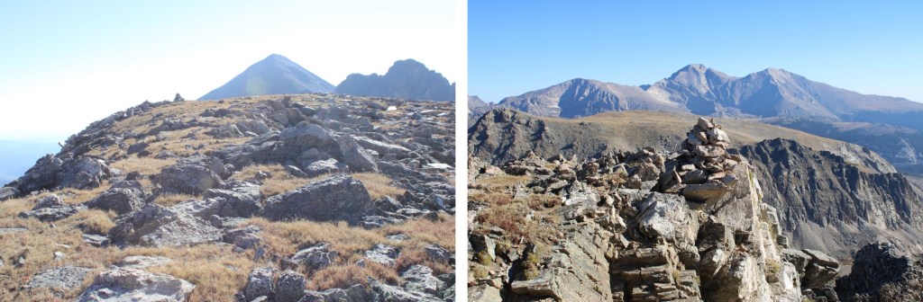
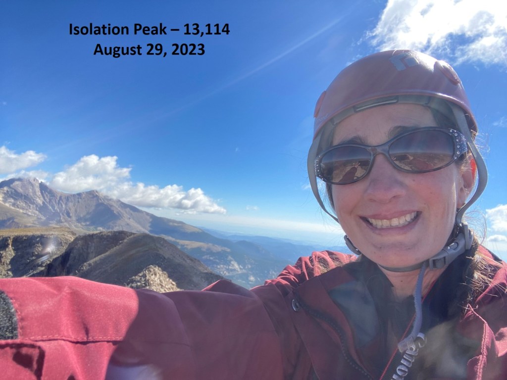
I summited Ouzel Peak at 9:15am

Ouzel Peak:

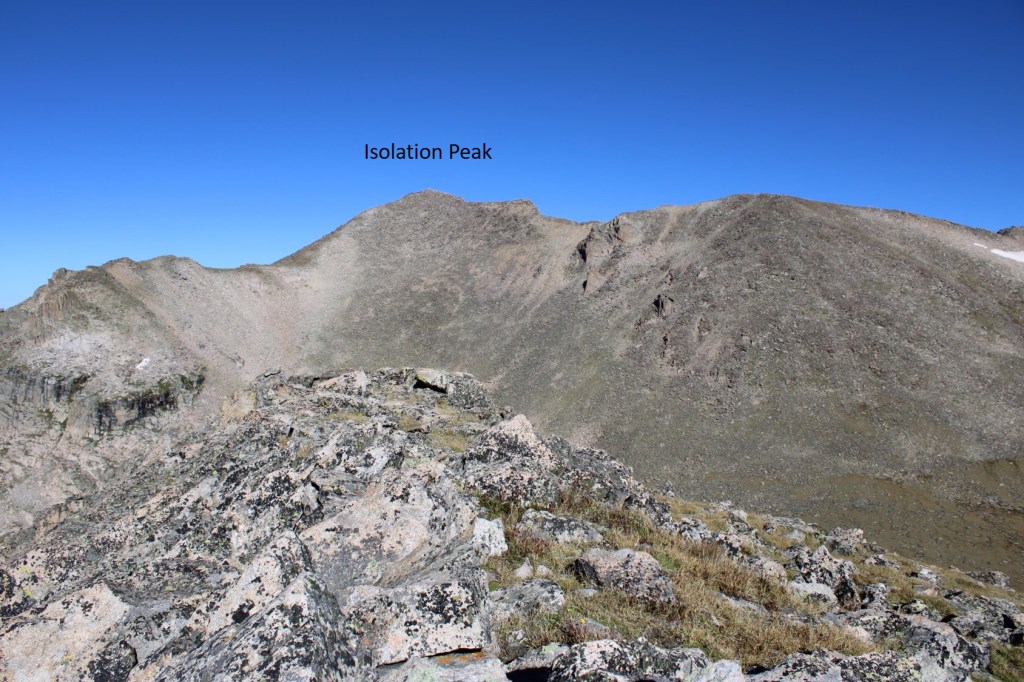
To the south I could see Ogalalla Peak. 

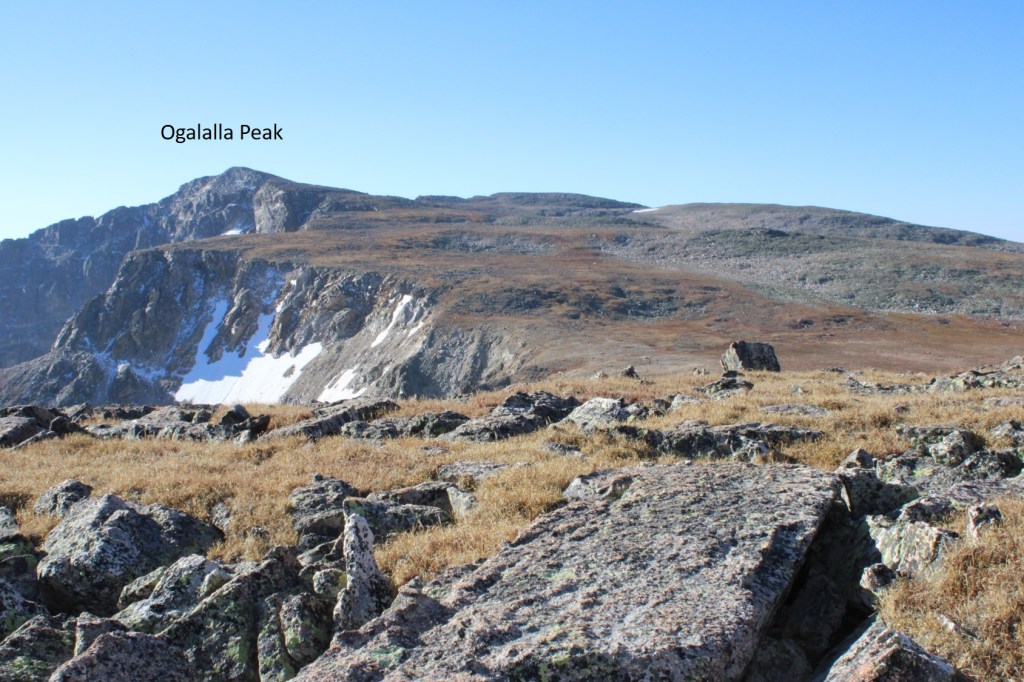
This was an easy tundra trek of about 1.5 miles.  First, I descended to the Ouzel/Ogalalla saddle

Then I followed the ridge as I ascended about 670’ to the summit

The final push to the summit was rocky, but class 2

I summited Ogalalla Peak at 10am

Ogalalla Peak:

This was an out and back hike for me, so I retraced my steps back to Ouzel Peak

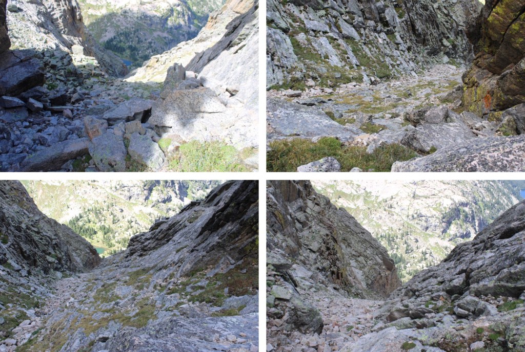
Then it was navigating the rocks and heading back down the gully to Pipit Lake

At Pipit Lake I skirted the lake to the right, and headed back towards Lark Pond

I stayed to the left of Lark Pond

Then looked for the ramp I’d used to on my way in

Now to make it back to the trail.  Here’s the overall route I took

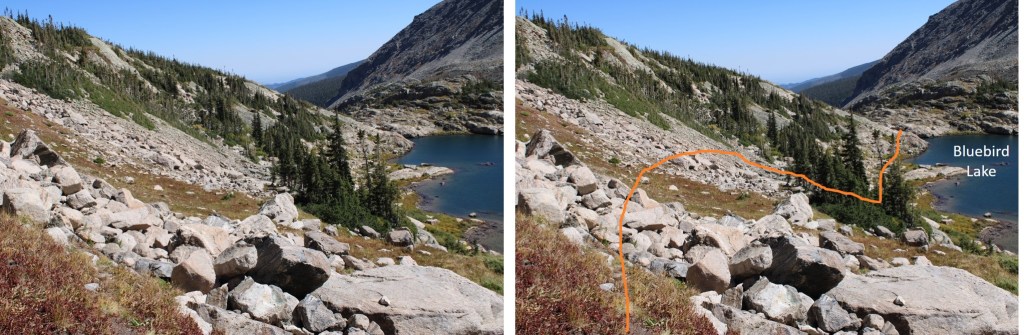
I went down the class 3 ramp this time, facing forward, without too much difficulty.

Then crossed the stream and headed back up to the trail

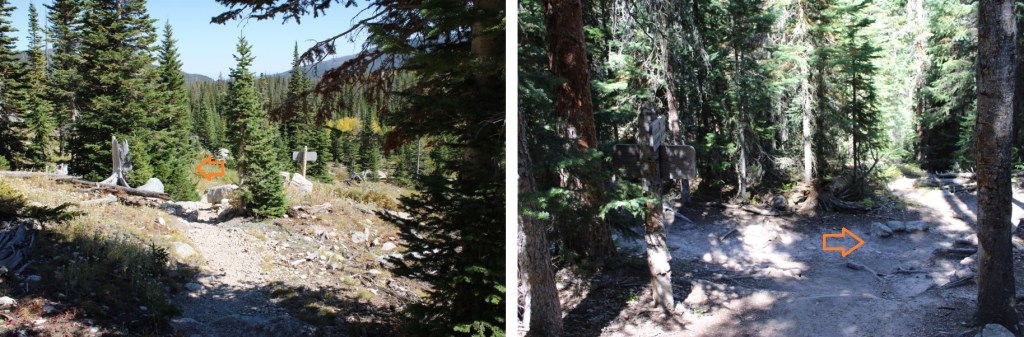
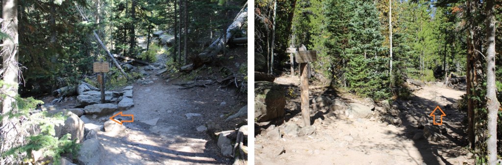
It was now a class 1 hike 6.4 miles back to the Wild Basin Trailhead.  There were plenty of signs indicating the way

I made it back to the trailhead at 3pm, making this a 20.7 mile hike with 5309’ of elevation gain in 11 hours.

On to the next trailhead!

Mahana Peak – 12,643 and Isolation Peak – 13,114

RT Length:  21.79 miles

Elevation Gain:  5665’

I parked at the Wild Basin Trailhead inside Rocky Mountain National Park and was on the trail at 4am. There’s plenty of parking here, but they have timed entry from 9am-2pm every day. 

The trailhead starts at the south end of the parking area

I followed the signs for Ouzel Lake/Bluebird Lake.  This class 1 trail is really well marked, so it’s difficult to get lost if you read the signs.  I passed several waterfalls (Copeland Falls, Calypso Falls, and Ouzel Falls).

After hiking for 4.75 miles I came to the junction for Ouzel Lake and Bluebird Lake.  I turned right onto the Bluebird Lake Trail.

I didn’t stay on this trail long however.  Maybe about 10 yards or so. Then I left the trail and headed northeast to gain the ridge

This is where I startled a moose.  He was about 15 feet away from me when I saw him, so I quickly ducked behind a large boulder.  Usually, moose run away when they see you, or ignore you, but this guy seemed interested in me.  I’ve seen probably over a hundred moose in Colorado, and I’ve only been charged once.  This guy looked like he wanted to charge me, so I remained hidden.  For a solid 15 minutes, every time I peeked out from behind the boulder, he was still staring at the boulder I’d hidden behind.  I know moose have poor eyesight, so while he knew I was still there, he was probably trying to figure out if I were a threat or not.  (That’s Chickadee Pond in the background).

Eventually I crawled away on my hands and knees so he couldn’t see me in the brush, and continued my way up the ridge.  This included a lot of bushwhacking through downed trees.  A lot of downed trees.

Once I made it to the ridge, I followed it west to treeline

The route from here was straightforward.  I stayed o the ridge, following it west.  The terrain started out as loose rocks, then changed to tundra.

When you get to the tundra, don’t be fooled:  this is a false summit.  Stay to the left of it

This is the true summit of Manaha Peak.  It’s easy class 2 to get there

I summited Mahana Peak at 9am

Mahana Peak:

From Mahana Peak, I could see Isolation Peak to the northwest

To get there, I headed northeast along the ridge until I came to a low point, and then headed northwest towards the ridge.

This is the overall route I took to gain the ridge of Isolation Peak.  If you look carefully, you will see a green band of grass that makes the route easy to follow.  I descended on rocky terrain, then was greeted with tundra, then rocky tundra as I ascended.

Once on the ridge, I turned left and could see Isolation Peak to the southwest. This was a class 2 hike, sticking to game trails either directly on or to the left of the ridge, until the last 10 feet or so, when it was a quick class 3 scramble to the summit

I’m pretty sure this block is the summit.  I sat on it, but briefly.  Pictures/video were difficult.  The summit rocks didn’t feel stable, and I could see through them to air below if I looked down. 

I summited Isolation Peak at 10:30am

Isolation Peak:

Here’s looking back at Mahana Peak from Isolation Peak

If you’re not up for class 3-4 scrambling, now’s the time to head back the way you came in, towards Mahana.  It’s the fastest route.  If you’re up for some scrambling, strap on your helmet if you haven’t already, and head northeast along the ridge.  Some of this ridge I’d consider choose your own adventure.  This is the route I took, keeping it class 3, with some easy class 4 scrambling (down chimneys/gullies).

I was now back to where I ascended the ridge, and followed the ridge northeast.  There is a lot of elevation gain and loss on this descent

I went to the right of this boulder.  Getting through was sketchy class 3.  The boulders were large, but there was a lot of empty space between them, and they didn’t feel solid. 

My next objective was to make it here (this was class 2, sticking to the ridge)

This is where it got a bit tricky.  I turned left, and descended into a rather large and steep gully.  I spent a lot of time in this gully route finding, and my advice is to stick to the gully proper until you make it down to 12160’.  You’re trying to go below this rock formation, which goes a lot further down than you’d think.

I turned left, and descended into the gully

I came to a place that looked like it cliffed out, but it was really just a drop onto a boulder, then a 7-foot downclimb. 

Here’s looking back up at the gully

And a look at the final drop.  The boulder in the middle was essential to the descent.

This was at about 12160’, where I stopped descending the gully, and looked for a grassy ledge climbers right. 

I made it to the ledge, descended another grassy ledge, then reascended a grassy ledge to re-gain the ridge

For those of you doing this the opposite way, here’s a look back at the grassy ledge I descended.  You can see why I had to drop down so low in the gully, with the sheer cliff face to navigate.

Here’s how I got around the next few obstacles

And that was it for the climbing for today.  I kept my helmet on because I still had a scree-gully to descend, but all the class 3 and 4 stuff was done.  I’d wanted to head over to Mt Alice today too, but clouds were forming and I didn’t think it was a good idea.  I headed towards Boulder-Grand Pass, turned right, and descended the gully towards Lake of Many Winds.  From the pass, it was 9.5 miles back to the trailhead.

A good trail picks up here, and leads all the way back to the Wild Basin Trailhead.  Here you can see Thunder Lake.  This trail becomes the Thunder Lake Trail, skirting the lake to the left.  This is a class 1 trail.  Once again, it’s very well marked, with signs indicating the route back to the Wild Basin Trailhead

I made it back to the trailhead at 4:45pm, making this a 21.79 mile hike with 5665’ of elevation gain in 12 hours, 45 minutes, at least according to CalTopo.  Strava gave me drastically different numbers

On to the next trailhead!