Marys Mountain – 9860’ and Sheep Mountain – 9820’

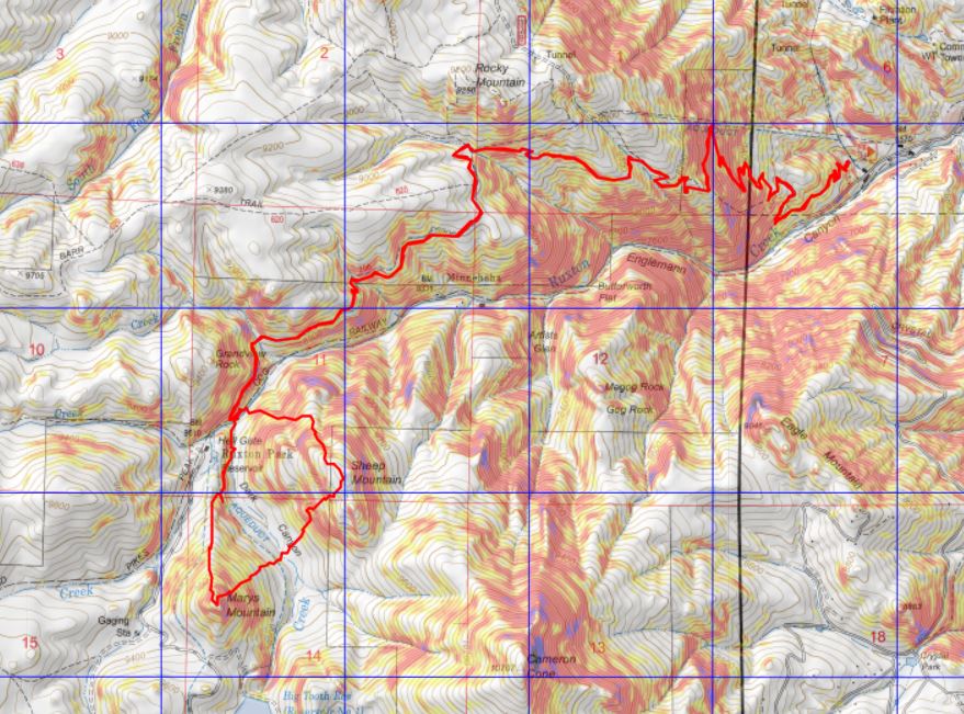
RT Length: 12.77 miles

Elevation Gain: 4823’

These peaks have been on my short list since last year, when I attempted to hike them in winter by following the cog railway (which was under construction and not running).  I learned two things:  There was too much snow to summit this time of year from the cog, and the route is seriously steep!  My legs were burning after just 2 miles. 

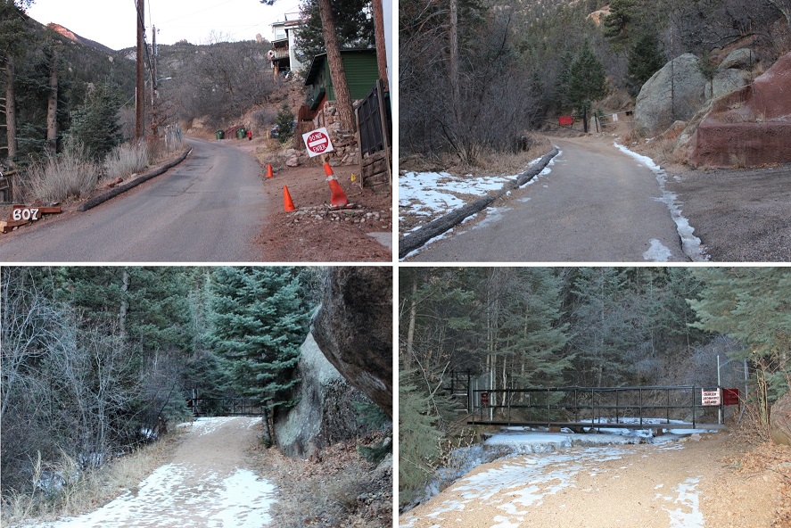
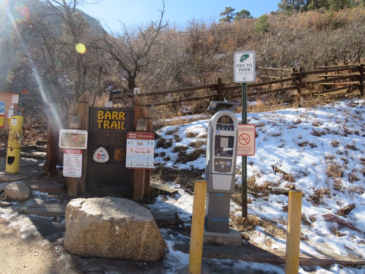
I’ve been hiking in this area the past few weeks and was surprised at how little snow there was, so I figured now was a great time to attempt this hike. I parked at the Barr Trail lot, paid the $10 fee at the machine, and was on my way at 6am.

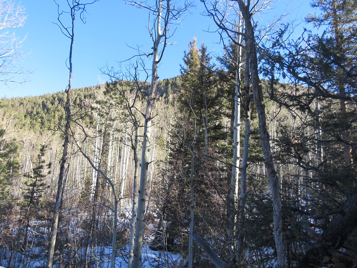
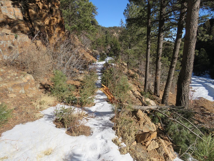
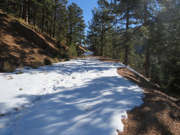
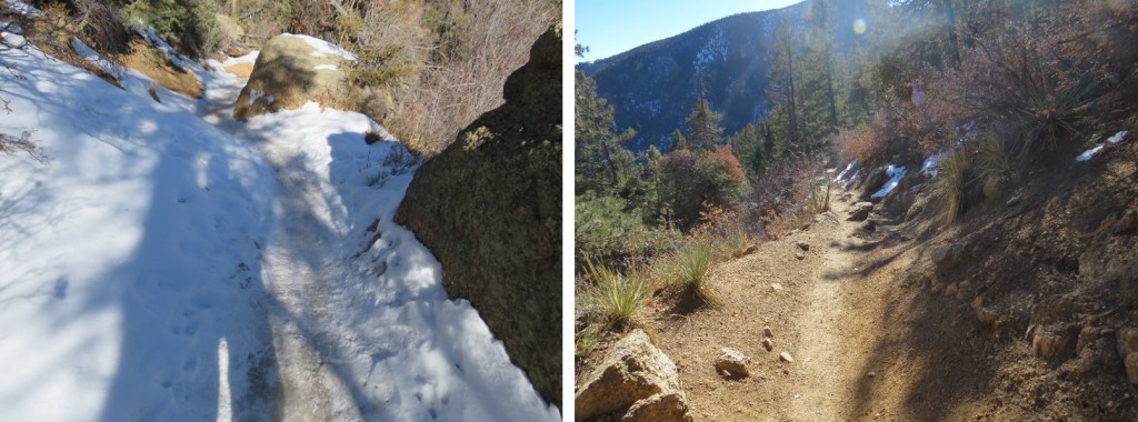
This time, instead of following the cog railway, I followed Barr Trail for just over 3 miles.  This is a class 1 trail that is well maintained.  Spikes are recommended in winter.

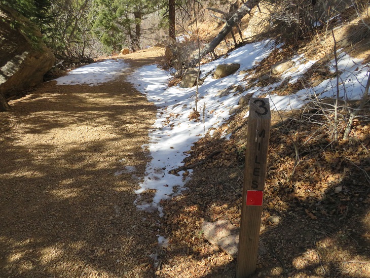
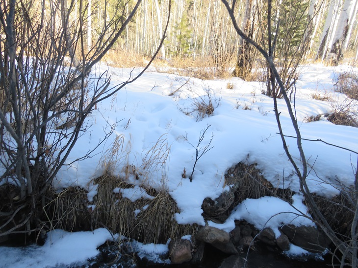
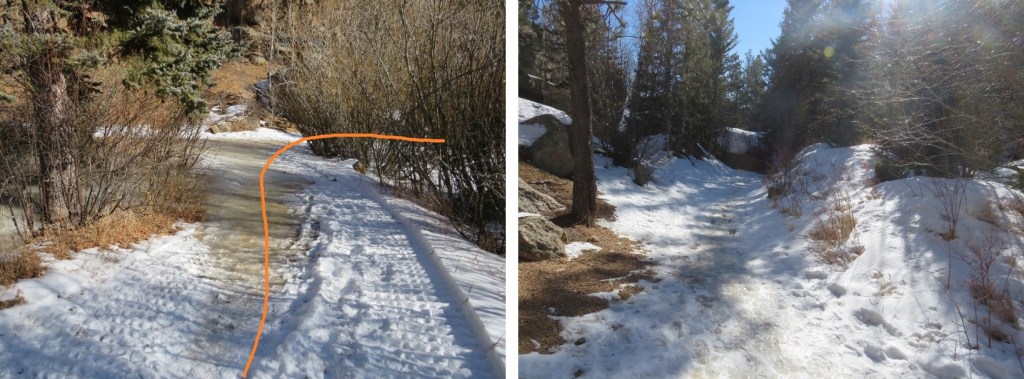
After hiking for 3 miles I came to a junction for the experimental forest and Barr Camp. Here I stayed on Barr trail, turning left.  The trail became an ice skating rink here, but not for long.

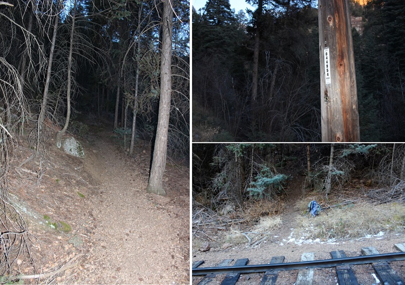
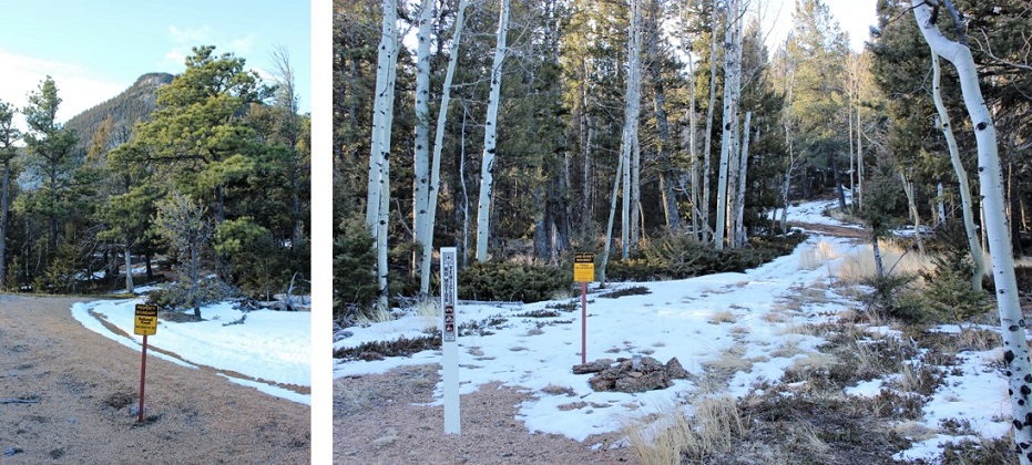
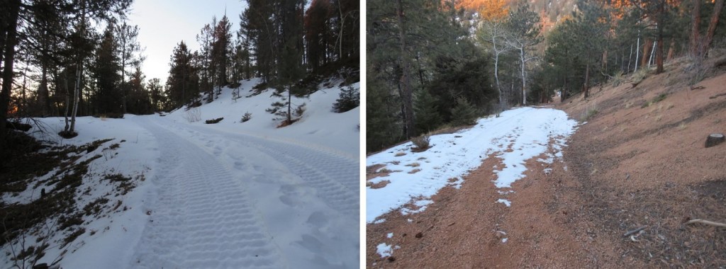
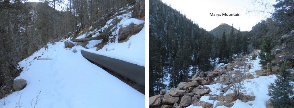
I only stayed on this trail for a few yards, turning left onto unmarked trail 706.  This trail can be difficult to notice if you aren’t looking for it, and this is the first time I’ve seen tire tracks on this road.  It looks to be an old 4WD road that leads to a functional pipeline, and these tracks looked to be the first made here in quite a while. 

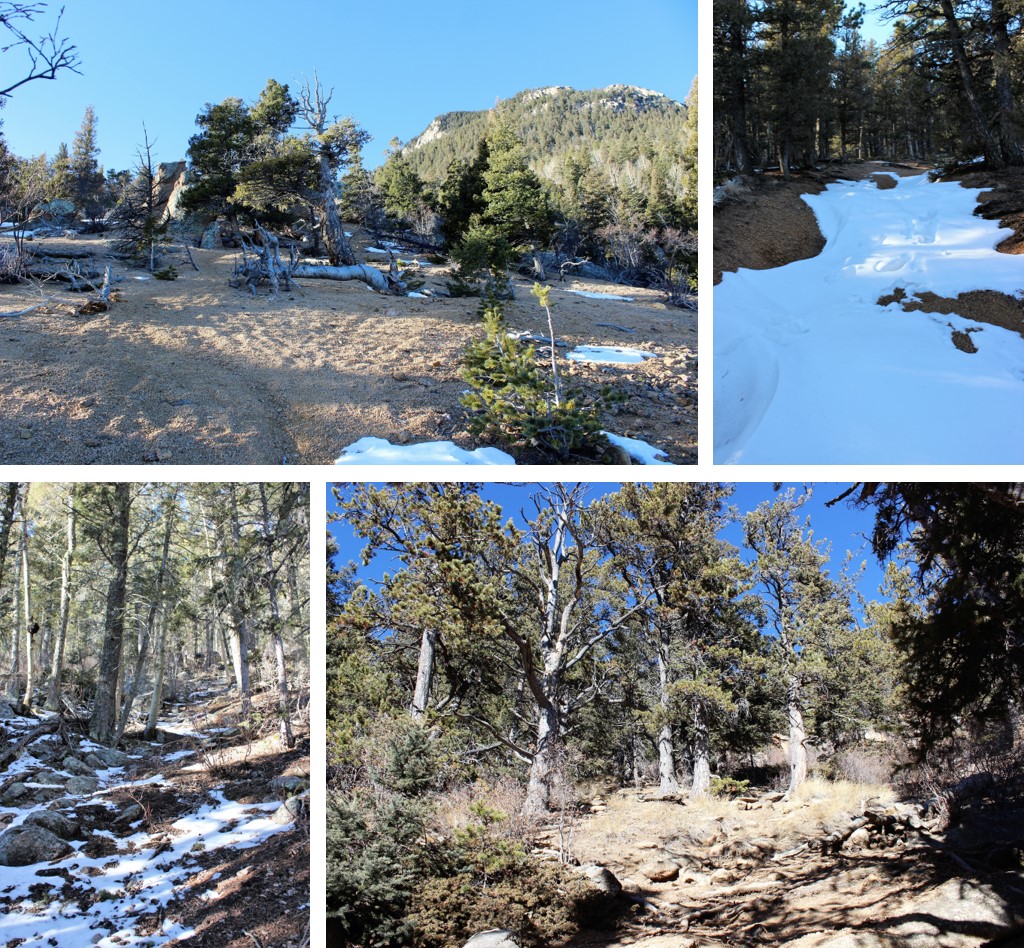
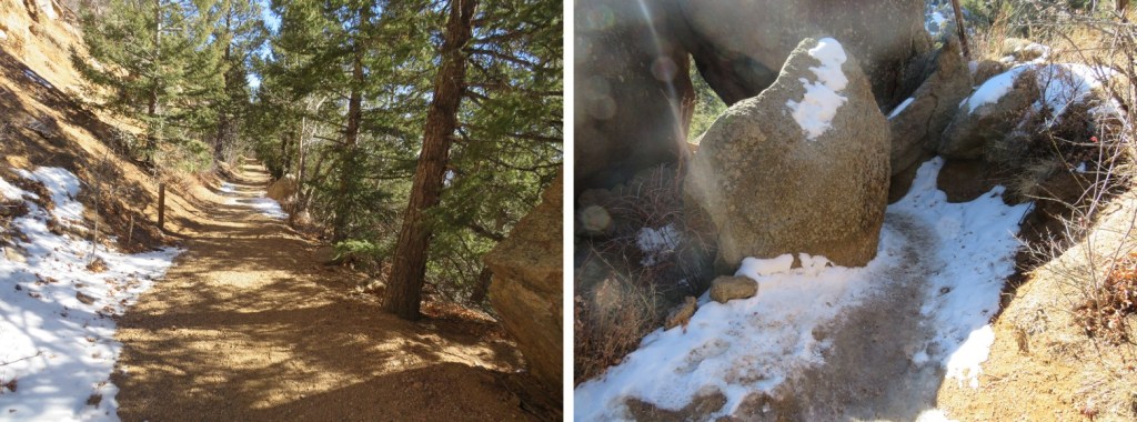
I followed Trail 706 for about a mile and a half as it wound around the south side of the mountain.

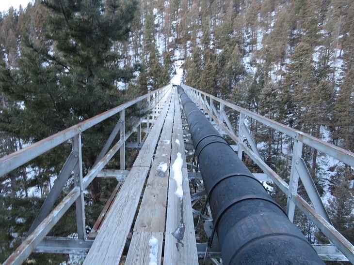
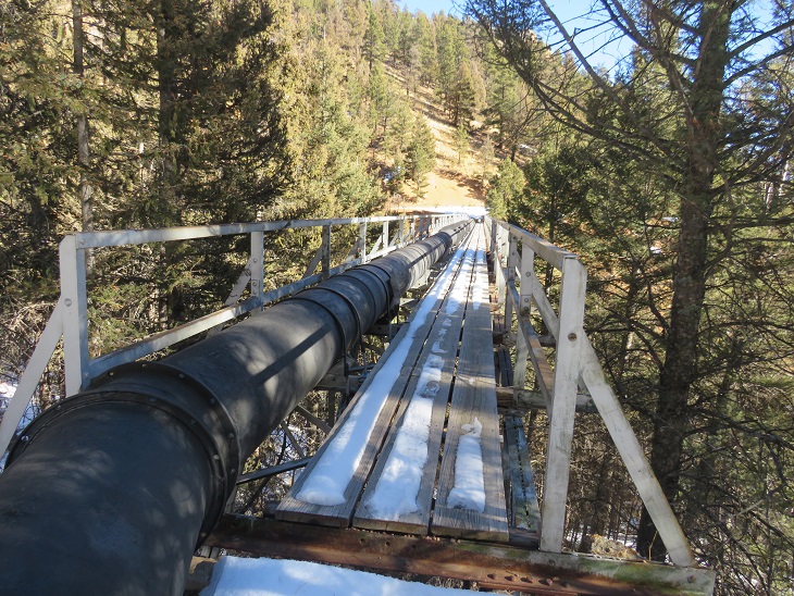
The road ended and I crossed this pipeline bridge.  Gingerly.  I don’t think this bridge has many seasons left.

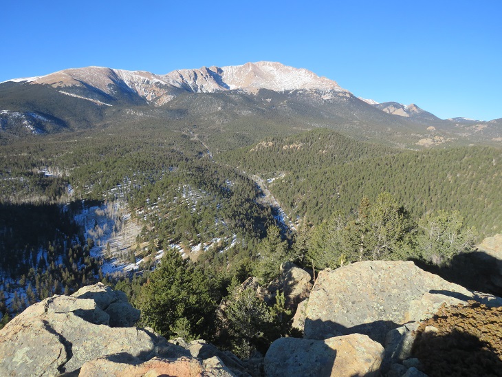
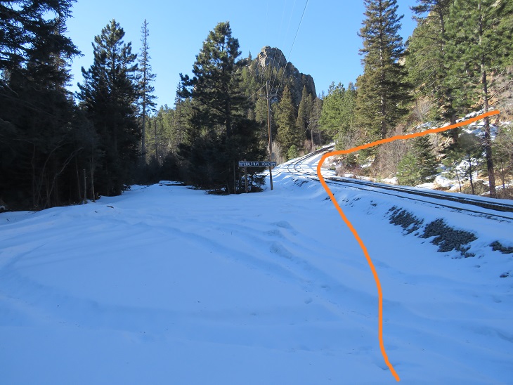
After crossing the bridge I picked up the trail again and followed it a short distance to the cog railway.

Once making it to the Cog Railway there’s a sign saying from here on out it’s private property

No matter though, because I wasn’t heading up the Cog.  Instead, I crossed the tracks, passing this sign

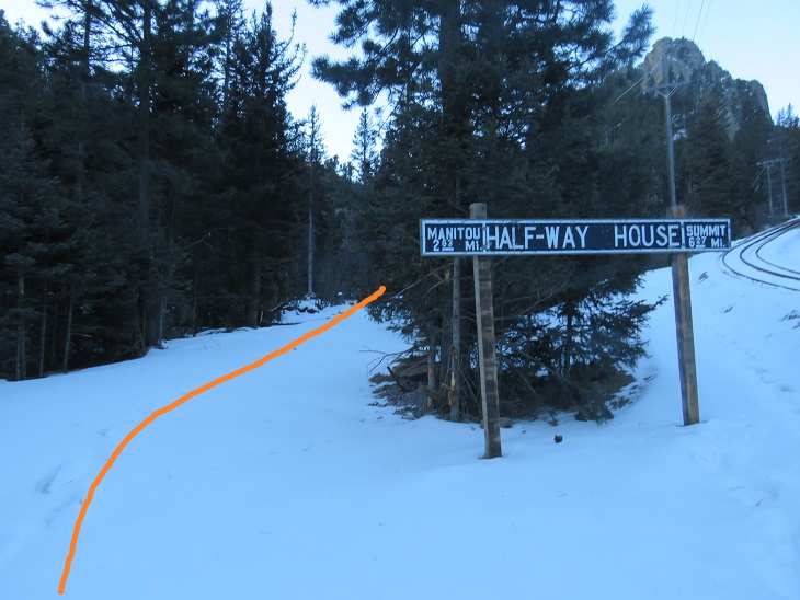
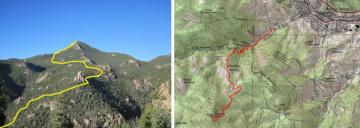
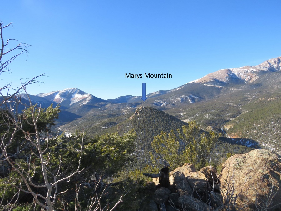
I then headed south, aiming for the ridge and continuing south until I reached Marys Mountain

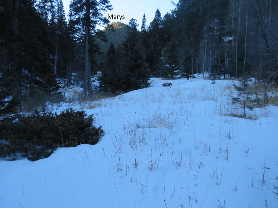
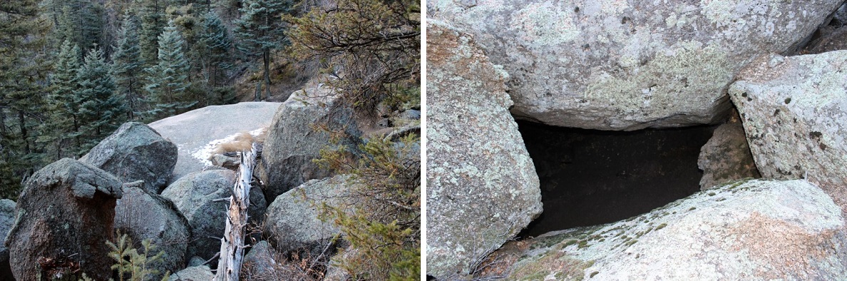
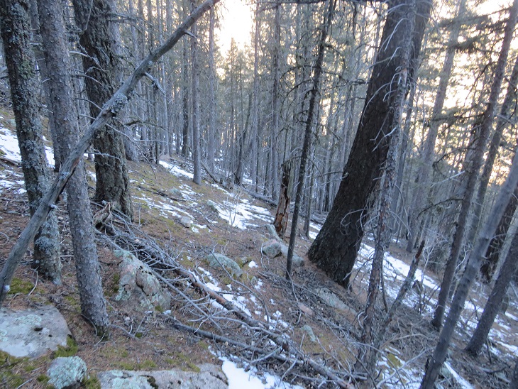
This required a lot of bushwhacking, and the brush was thick in areas

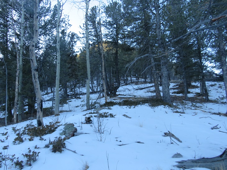
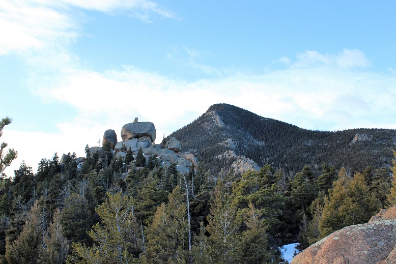
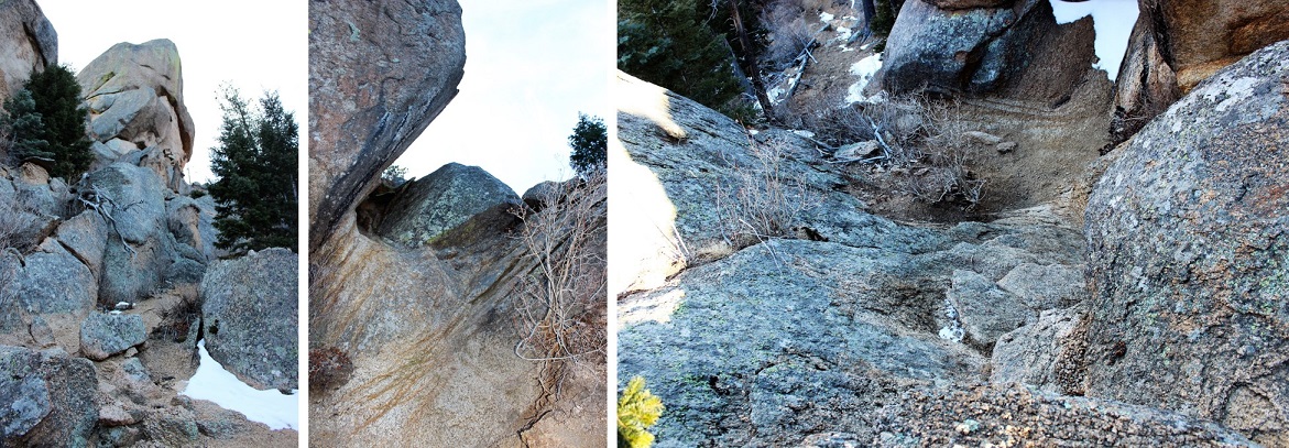
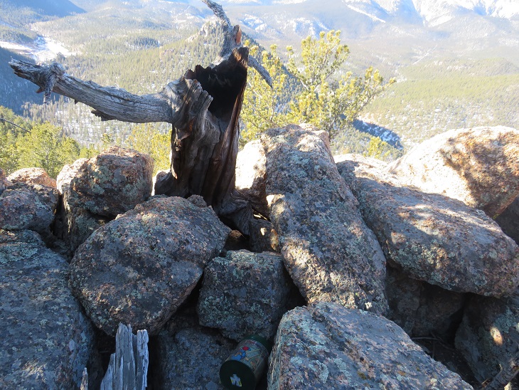
When I came to the top of the ridge there was a rock outcropping.  I climbed to the top, only to realize the summit was on the outcropping further south.  So, basically, don’t climb the first outcropping you see.

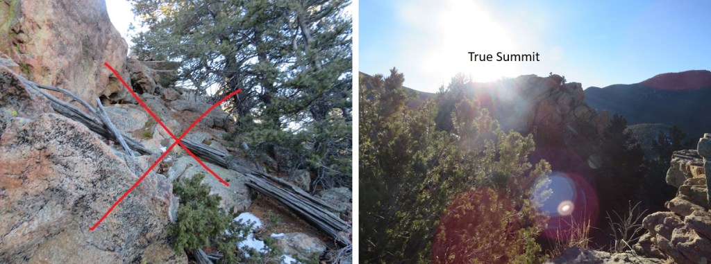
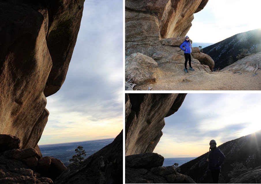
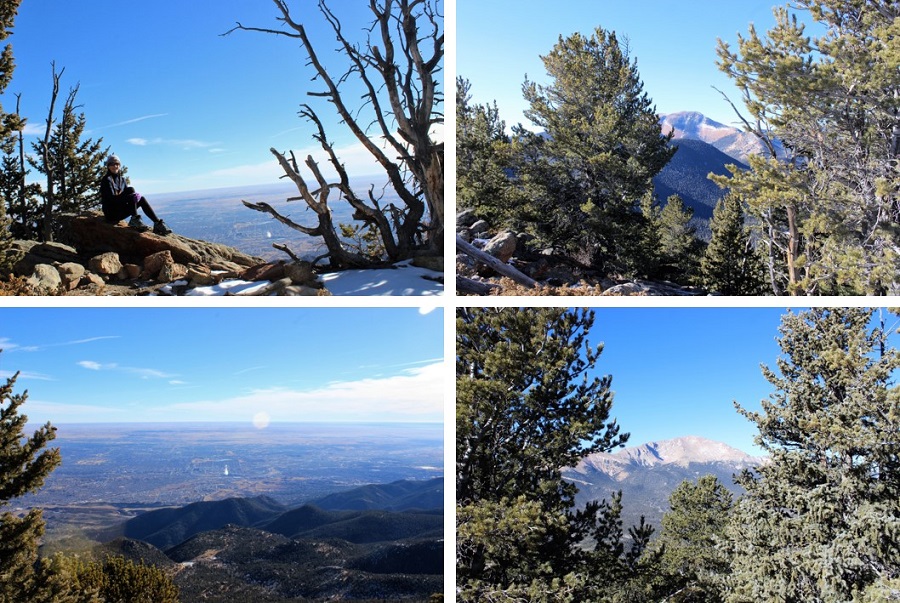
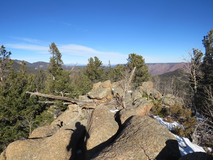
Instead, skirt it to the left and climb to the proper summit.  Here I am, on the correct summit, looking back

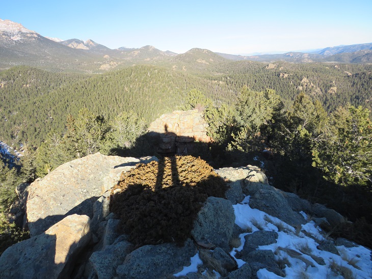
It was cold and windy on the summit, so I placed a summit register at the highest point, and turned and headed towards Sheep Mountain.

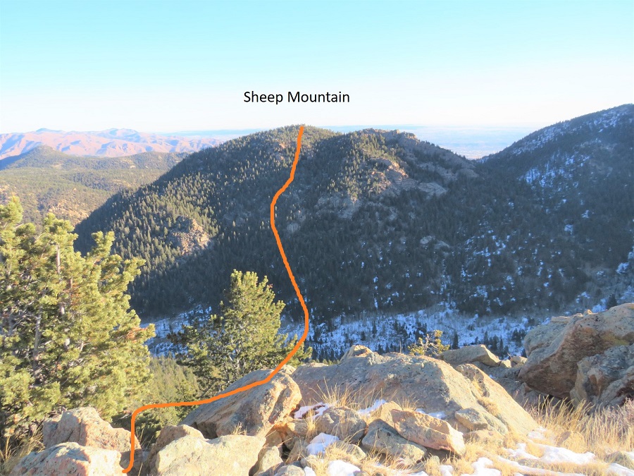
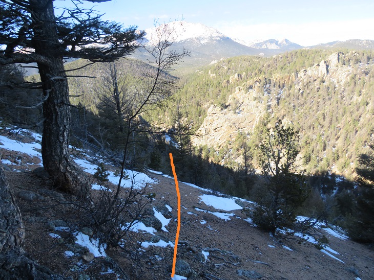
Here’s an overall view of the route to Sheep Mountain from Marys Mountain.  Take a good look from here because there are a lot of rock formations to navigate

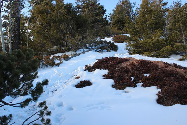
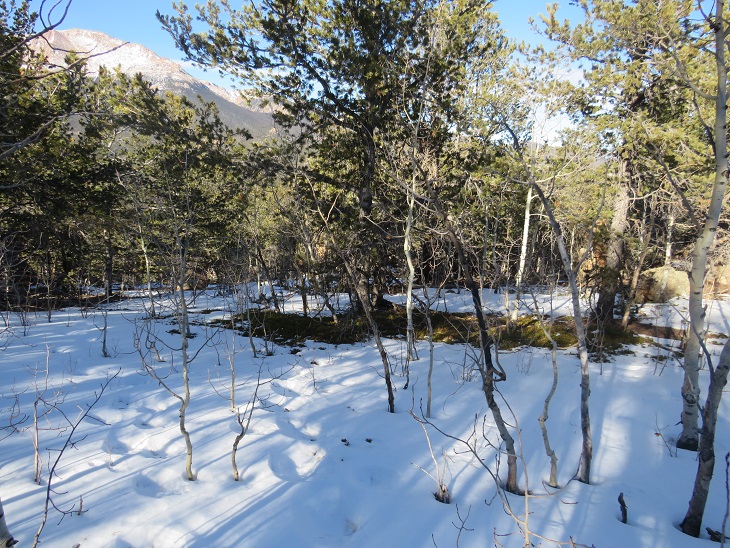
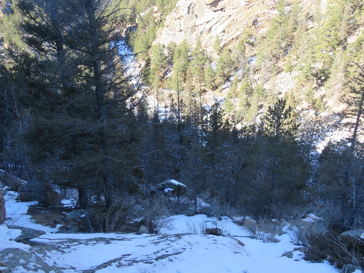
To do this I had to lose 820’ of elevation as I descended northeast towards the creek and Dark Canyon

Once at the low point I crossed the creek and continued heading northeast towards the summit of Sheep Mountain.

There was a lot of bushwhacking and rocks to contend with here as well

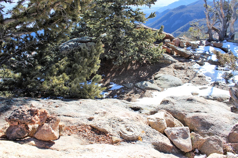
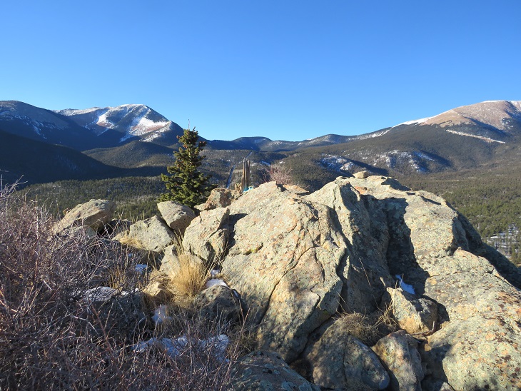
The summit was rocky as well.  I walked all over the summit just to make sure I truly summited.

Here’s looking back at Marys from Sheep Mountain.  Statistics say Marys Mountain is taller than Sheep Mountain, but to me, Sheep felt taller.

Once again, I left a summit register and was on my way

This time I headed northwest down the slope, aiming for the cog railway below. 

Sections here were steep, and I was glad I’d hiked Marys first.

Once back near the cog I once again crossed the creek on a log near a picnic table, and picked up Trail 706

I followed Trail 706, crossed the sketchy pipeline bridge again, and continued on to Barr Trail.

Once on Barr Trail I followed it east for 3 miles, back to the Barr Trail parking lot.

I made it back to the parking area at noon, making this a 12.77 mile hike with 4823’ of elevation gain in 6 hours.  I really liked this route, and recommend it instead of hiking the cog.

Cameron Cone – 10,707′

1

RT Length – 9 miles, Elevation Gain – 4235’

Note:  This hike is difficult.  The elevation gain is intense and the trail difficult to follow.

I’ve wanted to take this hike for years, but it starts at the Barr Trail parking lot, which has been having fee issues (as in $40 per day parking fee issues).  There’s the incline lot that charges $5 for a maximum of 4 hours directly adjacent to the Barr lot, but I wasn’t 100% sure I could do the hike in 4 hours and the signs warning you’ll get towed if you stay there longer than 4 hours are daunting.

Today the forecast for the high country (anything over 12,000’) was 10-20 degree weather with wind gusts of 20-25mph (read feels like -5 degrees), so while it was beautiful outside, I wasn’t hiking any 13er or 14ers.  It was a shame because it was such a beautiful day!

The weather in Colorado Springs was forecasted for high 50s-low 60s: it was just too good to pass up, so I did the math, and figured I could probably hike the 9 miles in 4 hours.

I made it to the trailhead at 6:51am and was hiking at 7am.

To get to the trailhead, you park at the incline lot, and then backtrack back to Ruxton Avenue and hike west through a street lined with houses, go left around the locked gate, and continue on the road until it comes to a dead end at a stream crossing.  Cross the stream (on two separate bridges) and continue up the hill to the cog railway tracks.

2 trailhead

You aren’t supposed to hike along the tracks, but luckily after about 10 yards or less you’ll come upon utility pole 044954.  Just before you reach the pole the trail starts to your left.  It continues up the hillside, paralleling the tracks for a bit before turning southwest up the hill.

3

I came upon a really big boulder outcropping that looked like a camping spot.  The boulders were positioned in such a way that if you descended the tunnel about 15 feet you were in a type of boulder-cave.    It was surprisingly clean, and I may come back later to visit again.

4

The trail continued up, up, and up, with just a little bit of snow until I reached Magog Rock.  This rock is gigantic!  Pictures just don’t do it justice.

5

There was some easy class 3 scrambling that required all 4 limbs, but once I reached the top the views were great!

6

I followed the trail west and over a ridge.  This ridge looked like an excellent place to camp in the summer!

7

After the ridge I reached Gog rock and passed it by hugging the rock to the left  (Yes, the rocks were named after the Magog and Gog in Ezekiel and Revelations… check out your Bible for details).

8

This is where the snow on the trail started picking up.  It was over a foot deep in some places, and I could tell not many people hike this route, as I was breaking trail and it hasn’t snowed since last week. This was about the halfway point of the hike.

9

I passed a clearing that looked like another great place to camp, but also like it was an area that sees a lot of quads and motorcycles.  It had a lot of open space, and a sign indicating I was crossing over into National Forest Land.  Here I came upon a road and followed it for about half a mile.  Unfortunately, the service road dropped in elevation (which meant I was going to have to make that up).  I kept wondering if I was on the right path because it was taking me away from Cameron Cone, but I knew I was in the right area when I saw the Cameron Cone trail sign.

10

This is where the hike got difficult.  There was quite a bit of snow on the trail, and the trail itself weaved in and out of the trees.  If you’re not comfortable with a topo map and compass don’t continue any further:  The trail kept taking me south, which I thought couldn’t be right (but it was) as it was taking me away from the summit.  It turns out you need to summit from the South.  The last mile or so of this hike is completely uphill with intense elevation gain:  the mountain doesn’t relent, and by this point you’re already tired from the 3000+ feet in elevation gain you’ve already done.  It was slow going with no clearly defined path and no clear view of the summit (since it’s treed).

11

I summitted at 9:31am:  It had taken me 2.5 hours to hike 4235’ in elevation gain in 5 miles.    Not bad, considering it was all uphill.  I spent about 20 minutes on the treed summit taking pictures and enjoying the view.

12

I found the place where the summit marker should have been, and was upset to find someone had removed it.  Summit markers are few and far between these days…

13

Now for the hike back down.  The steep elevation meant I was slipping and sliding on all that snow on my downward trek.  At times it felt as if I were skiing.  Microspikes were not necessary, but snowshoes would have been useful.  When I made it back to the Cameron Cone cutoff I had to take off my hiking boots and shake out all the snow and scree.

I made it back down to the Gog rock area and decided to do a bit of Yoga to stretch.  I knew I should try to make it back down to the parking lot as quickly as possible, but I really wanted to enjoy this beautiful day (and see if they really would tow my truck if I wasn’t there on time… I had a feeling 30 minutes wouldn’t matter when there were less than 20 cars in a lot that would hold 200+).

14

The rest of the hike was pleasant and uneventful.  I crossed the cog tracks and the stream (beautifully frozen in February)

15

I made it back to my truck at 11:30am, which meant the 9 mile hike took me 4.5 hours to complete.  And my truck was still there!  Woot!

Here’s the route I took:

16