Heizer Trail to Barr Trail

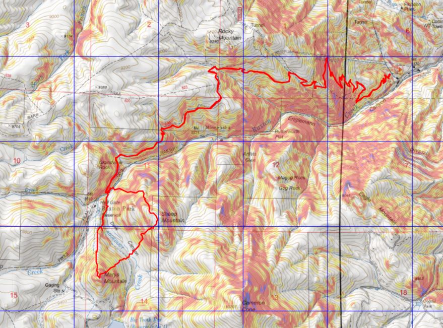
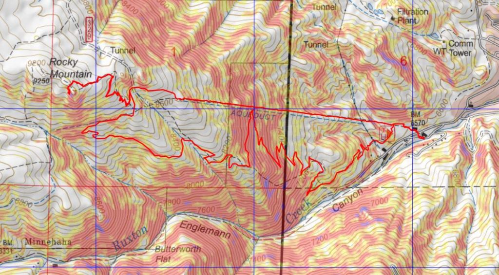
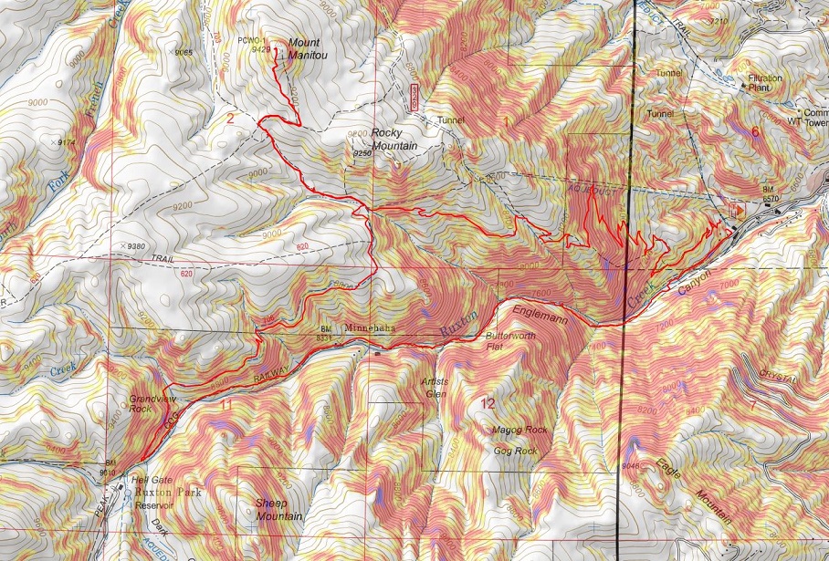
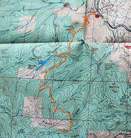
RT Length: 15.2 miles

Elevation Gain: 4323’

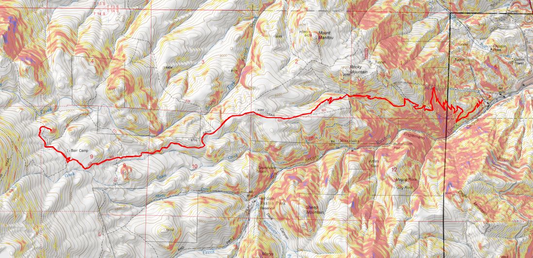
I get requests for this route quite a bit, and unfortunately, since I did it so early in my hiking days, I didn’t have a GPX file for the route.  So this week, when the weather was extra windy above treeline, I decided to do the route again to get a good GPX file.  Contact me if you’d like a copy.

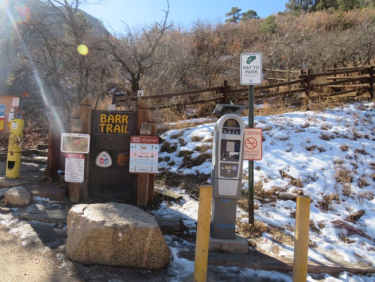
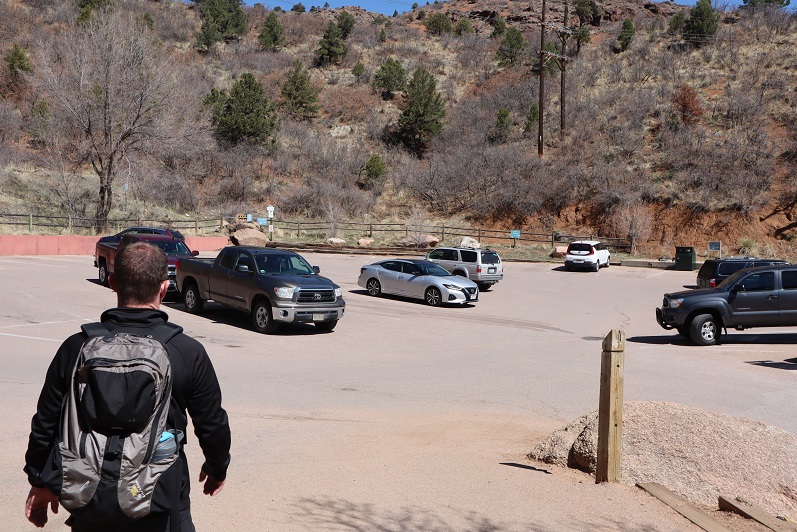
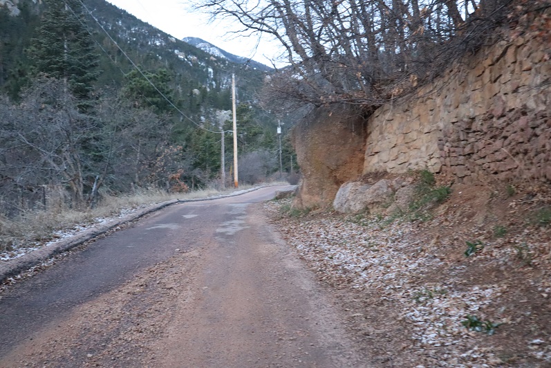
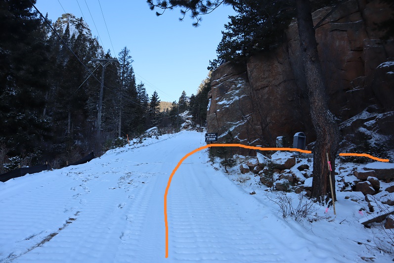
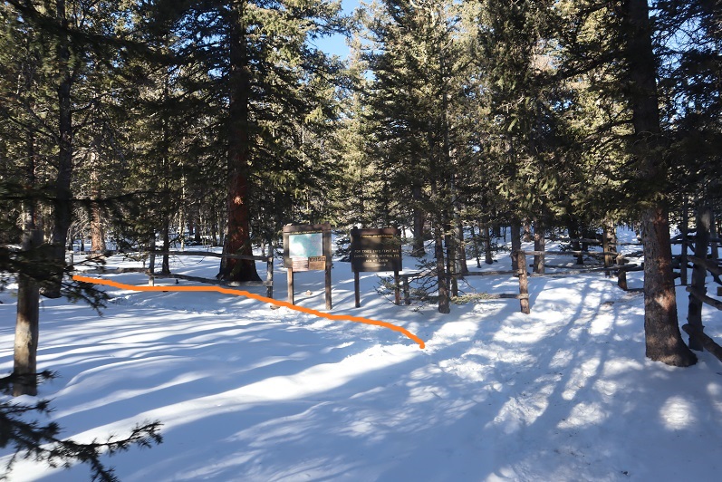
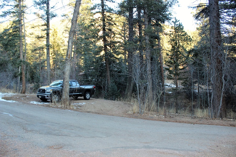
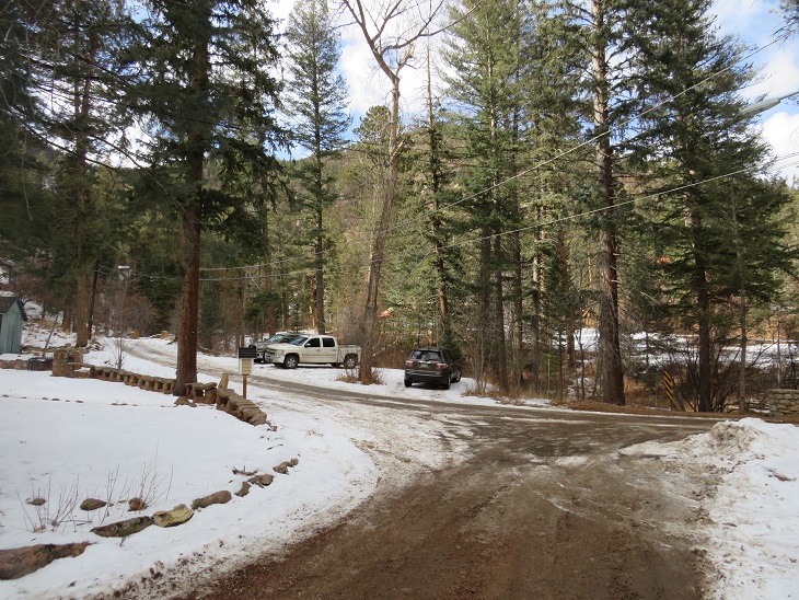
I arrived at the Heizer Trailhead at 6am.  It’s important to note you cannot park at the trailhead itself, but instead at the southwest corner of Cascade Park, at the corner of Park Street and Anemone Hill Road.

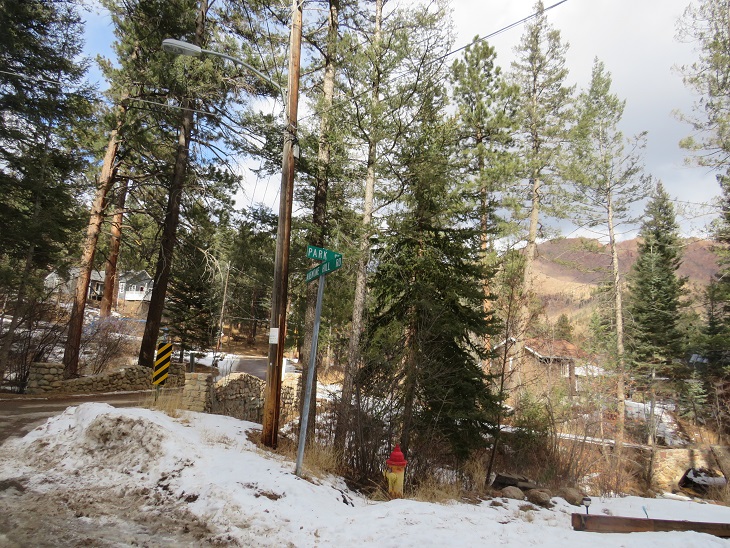
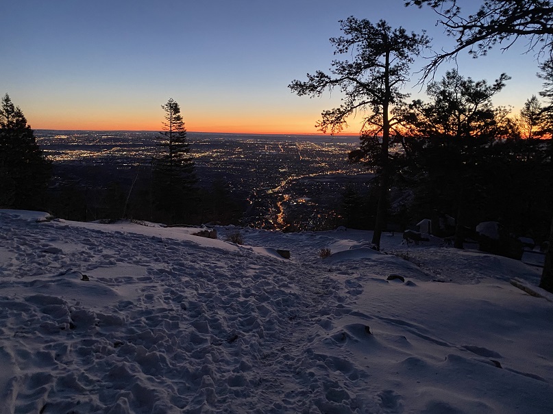
It was dark and icy and I had to put my truck into 4WD to back into a spot.  There’s room for 5 vehicles if everyone parks nicely, and if not, 2 or 3.

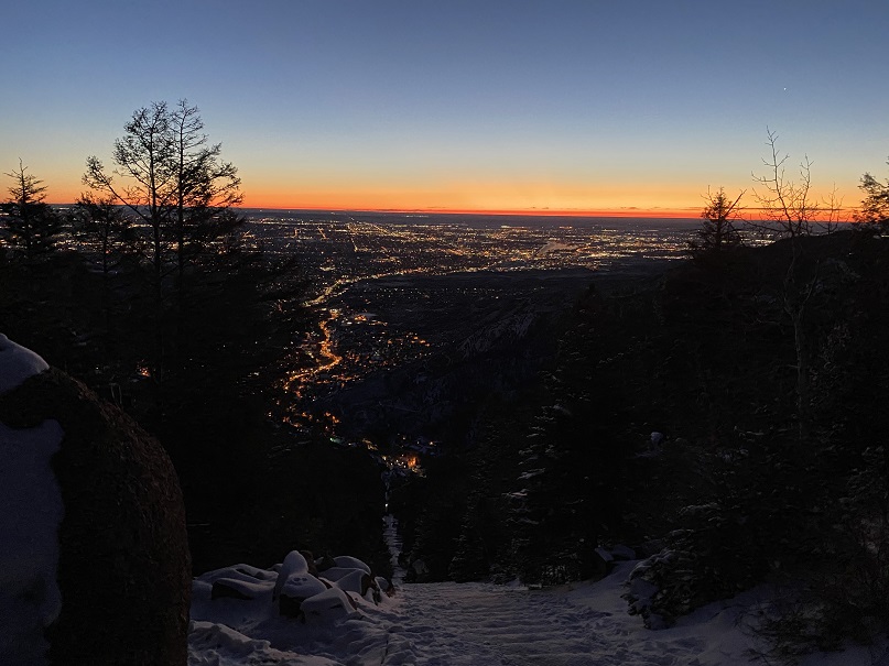
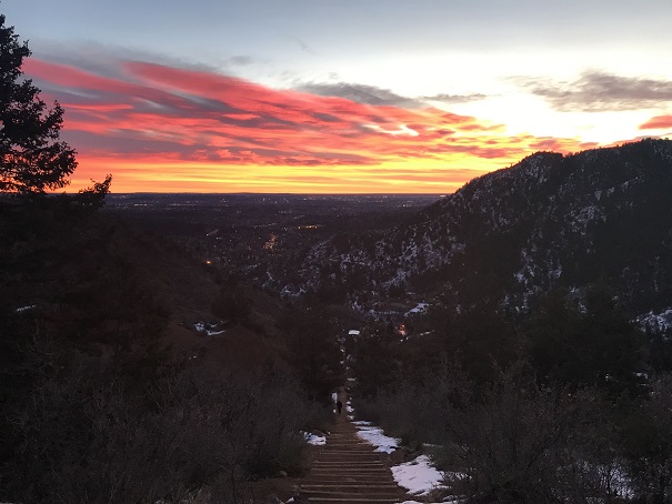
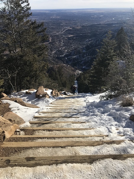
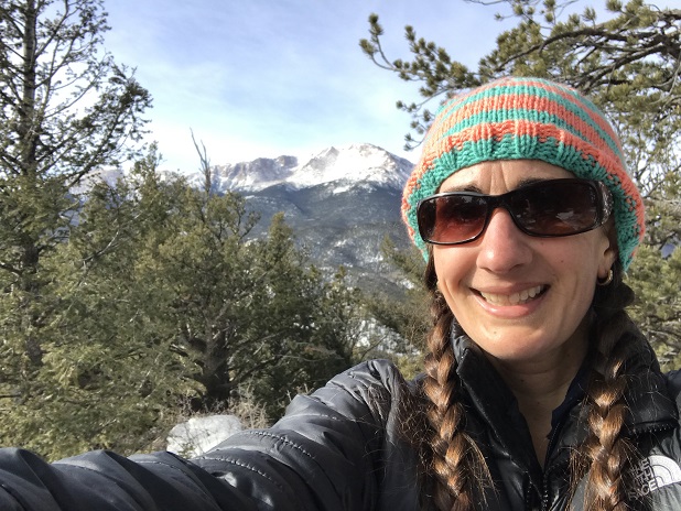
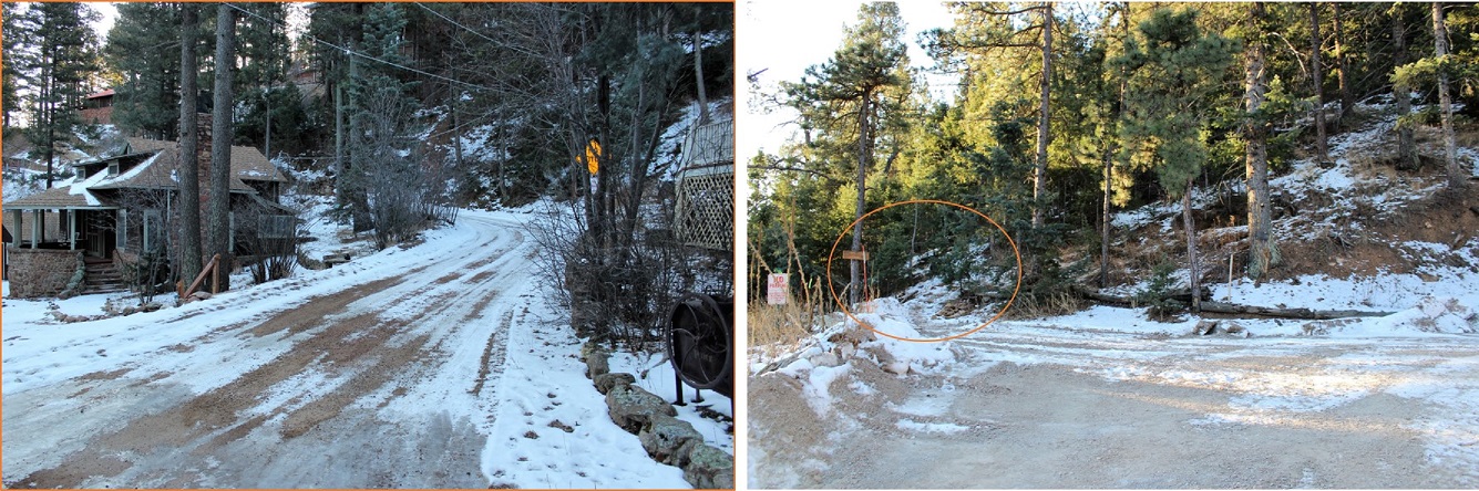
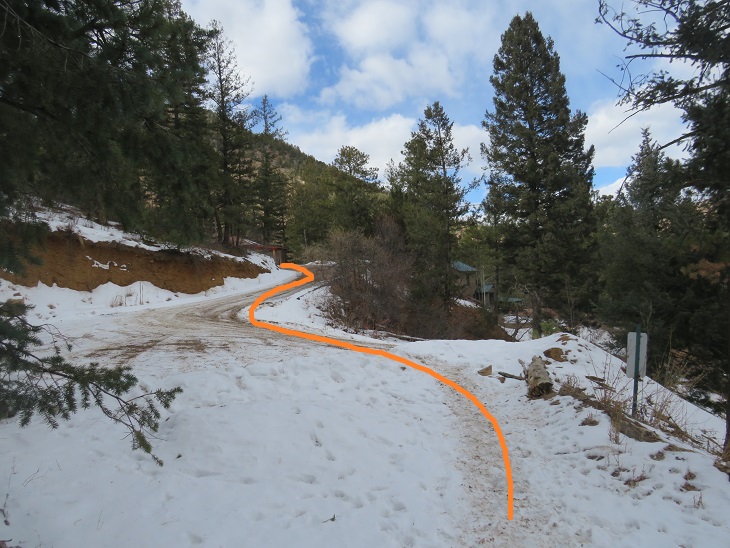
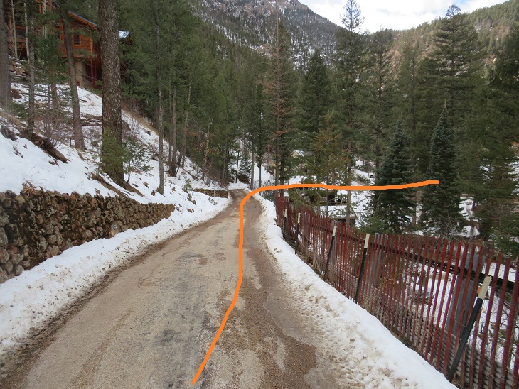
I gathered my gear and was on the road at 6:20am.  This is a class 1 trail from the beginning to the end.  To begin, I followed the road a short distance as it curved east and then south to the trailhead.

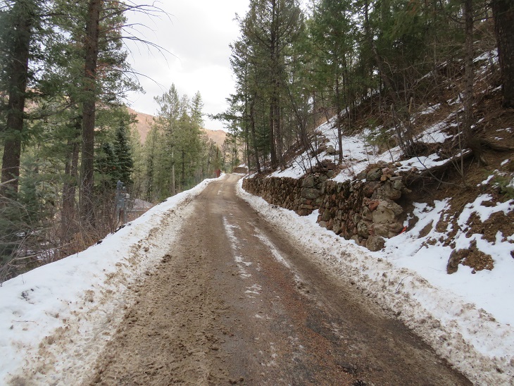
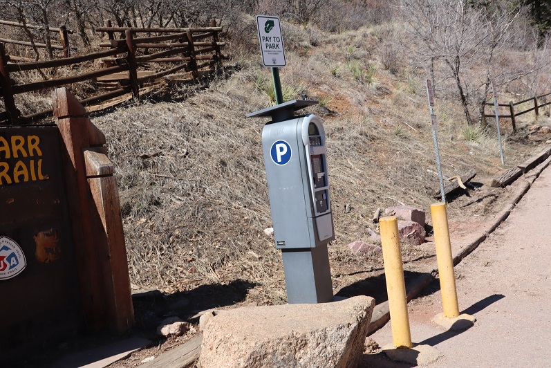
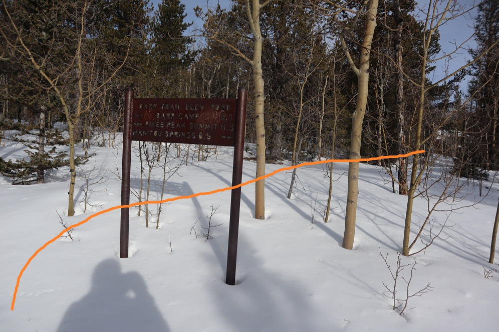
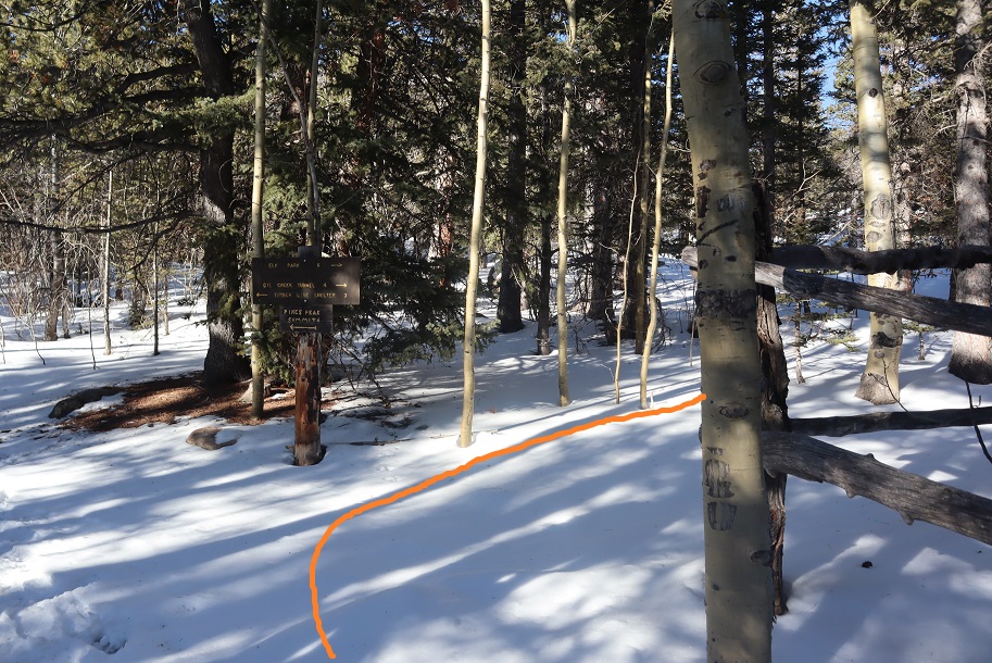
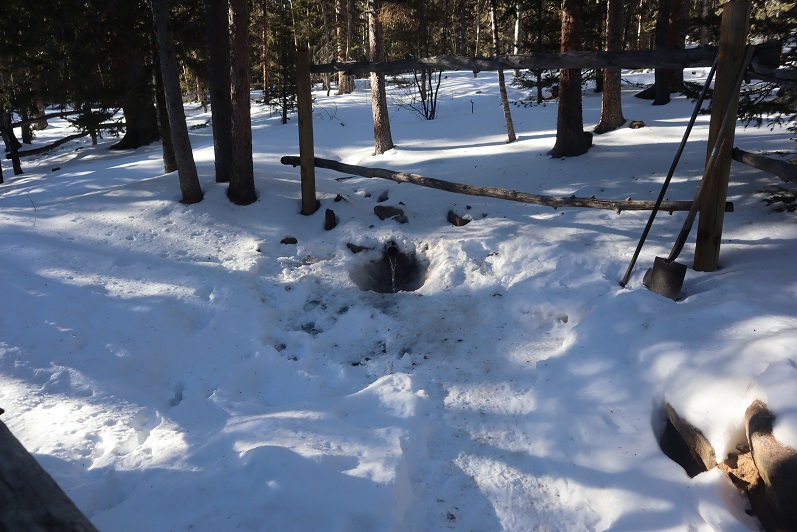
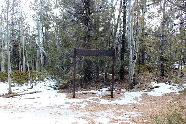
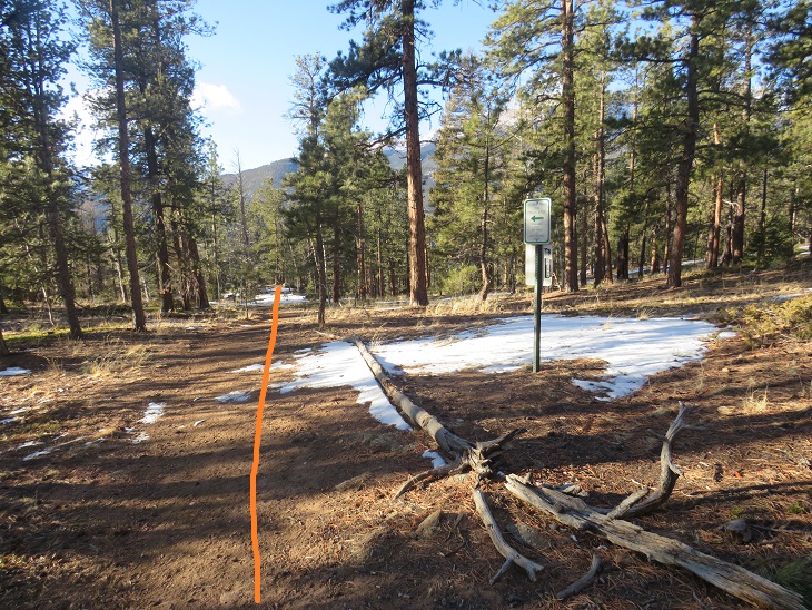
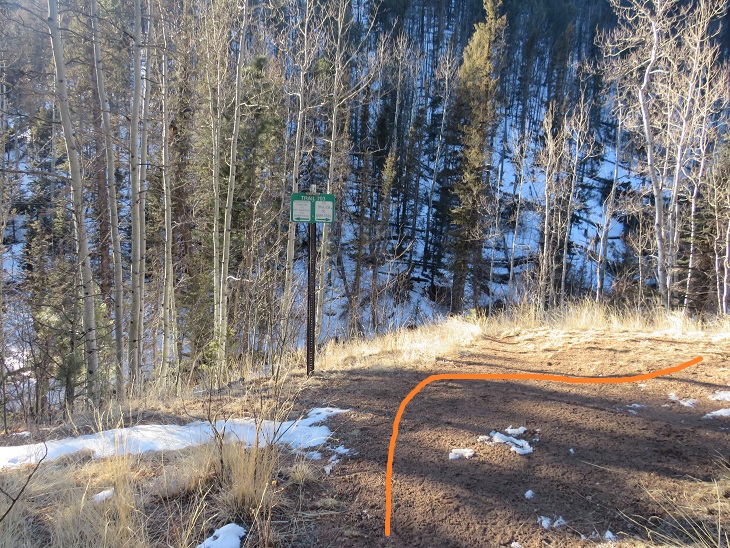
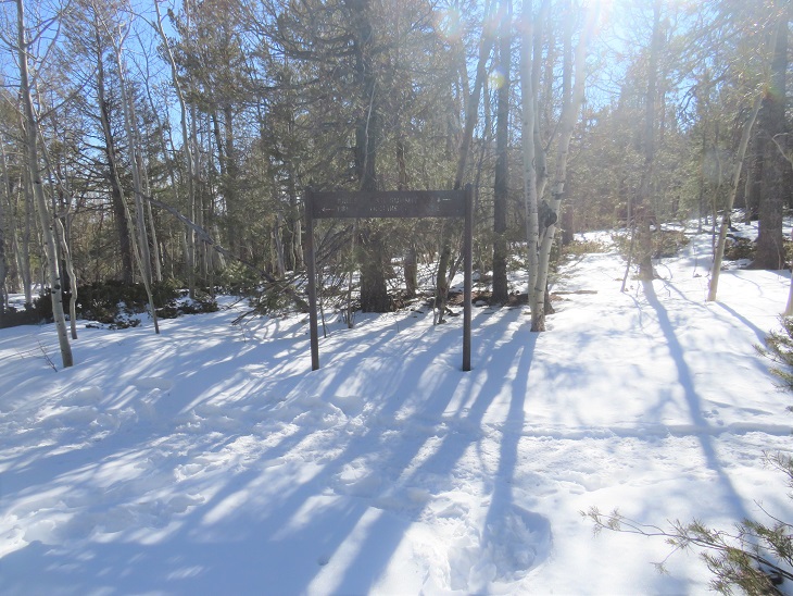
Here’s a picture of the trailhead

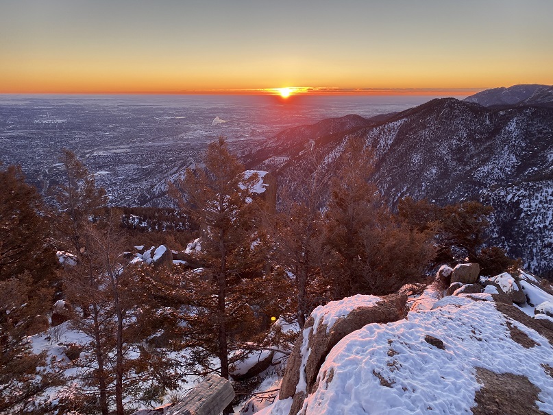
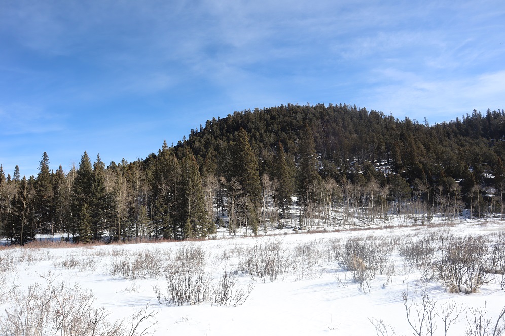
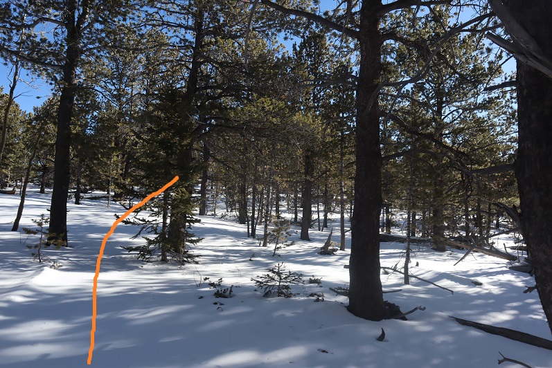
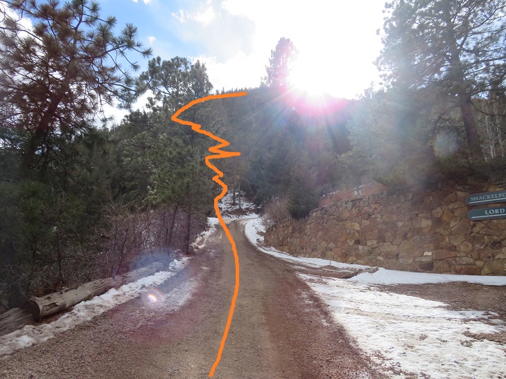
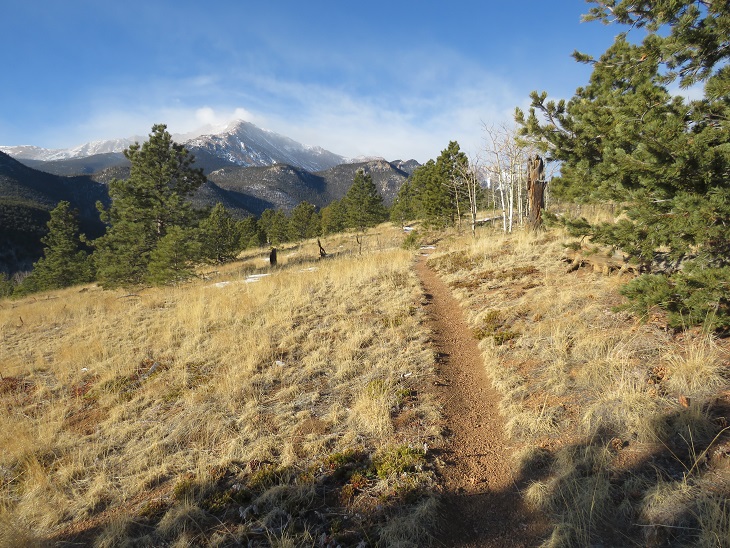
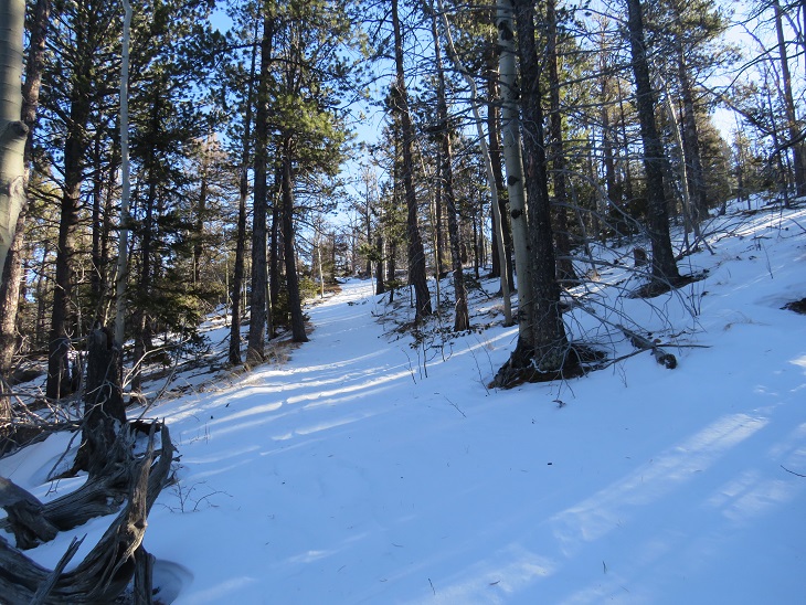
The first mile of this hike is strictly elevation gain.  I gained 1925’ in the first 2.4 miles of this hike, switchbacking up the side of the mountain.

Just before the elevation gain stops for good it dips down a bit

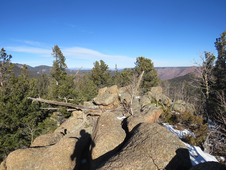
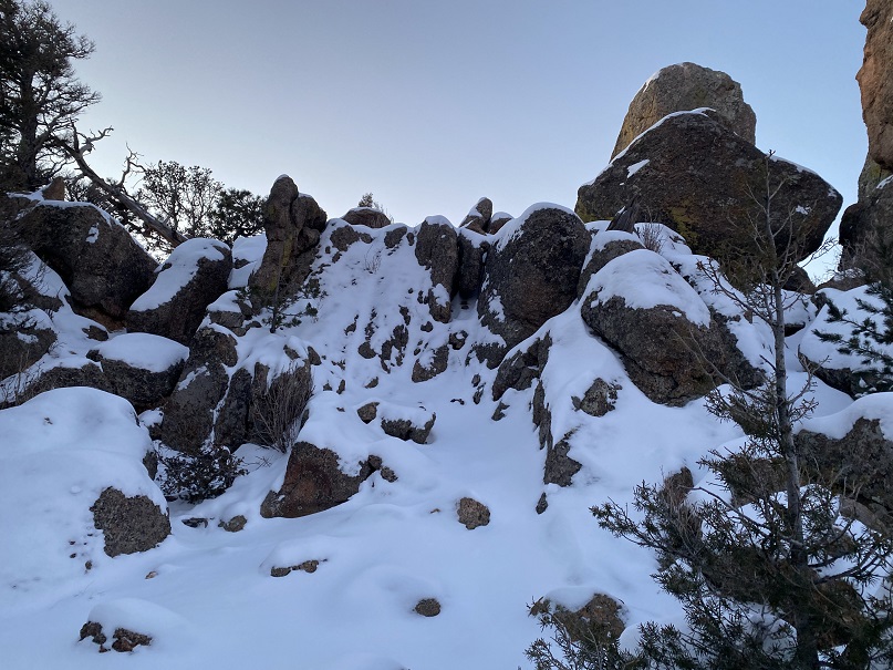
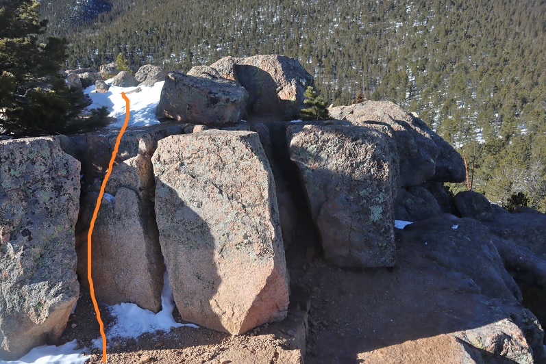
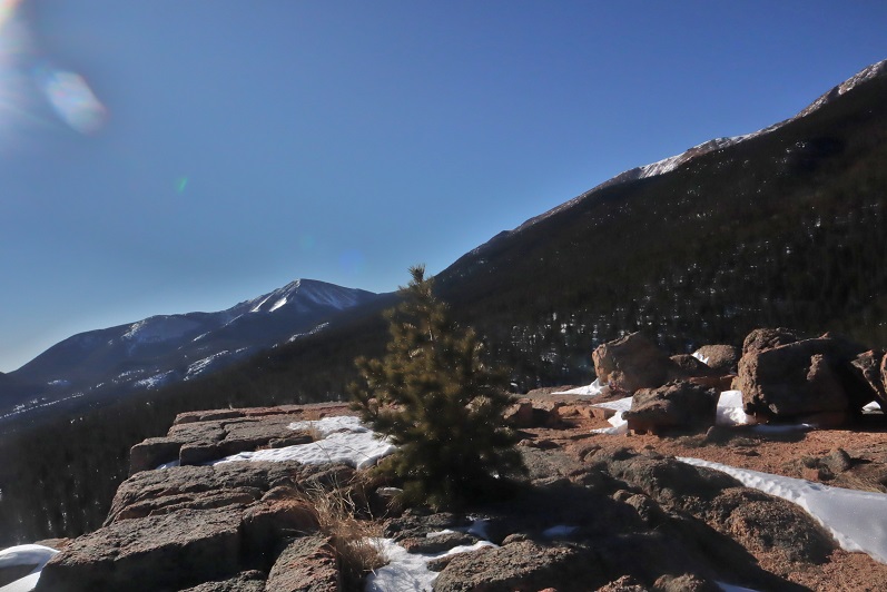
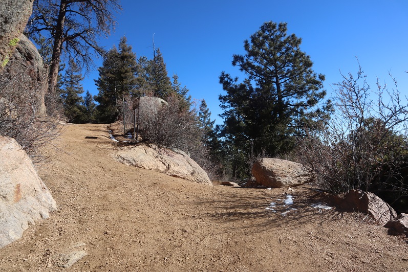
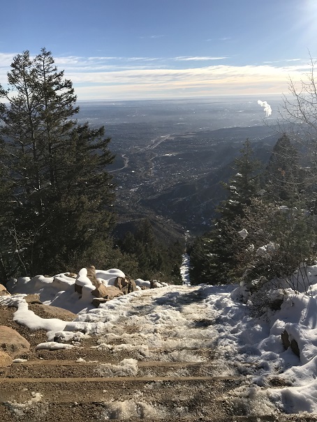
And then climbs to the highpoint

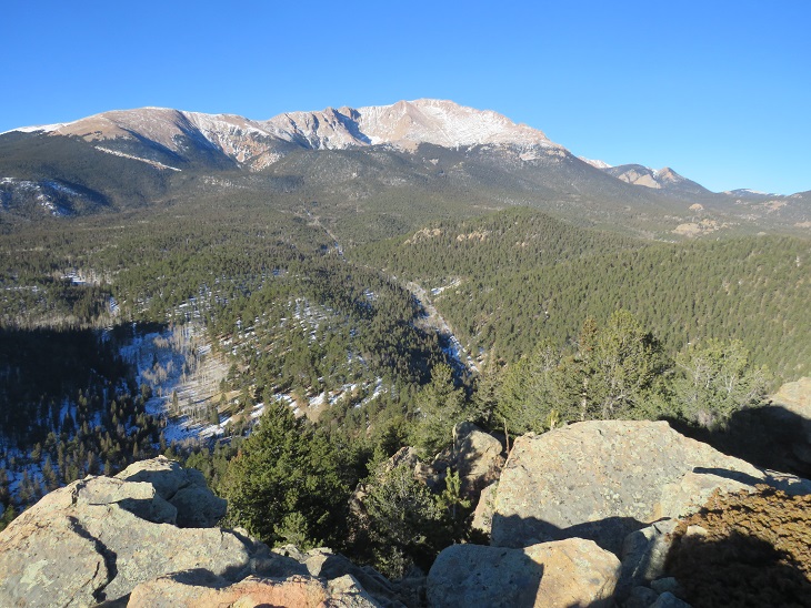
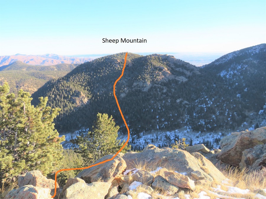
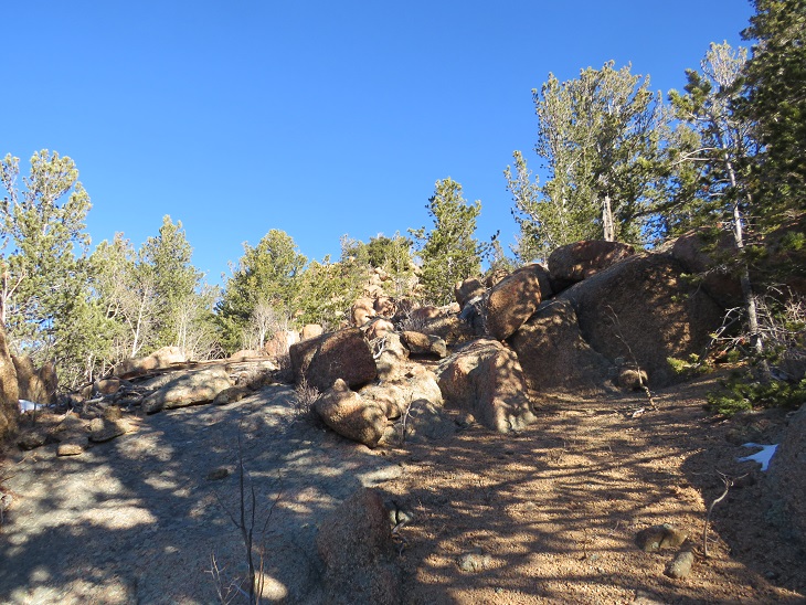
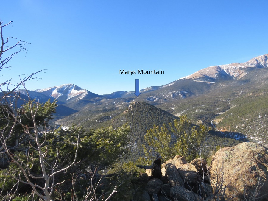
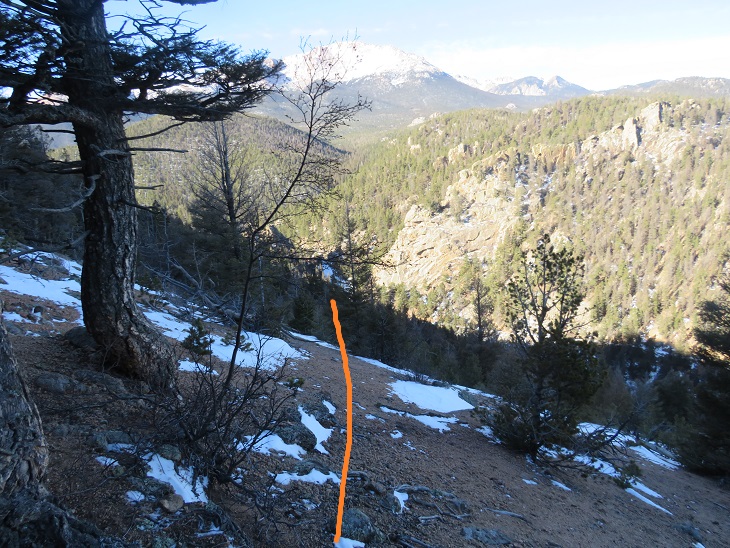
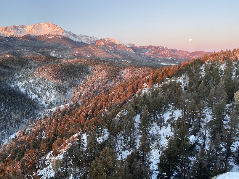
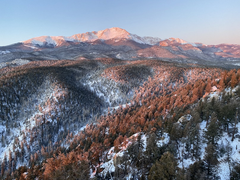
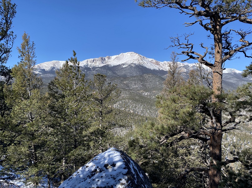
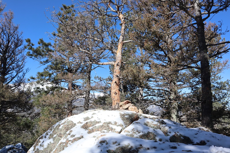
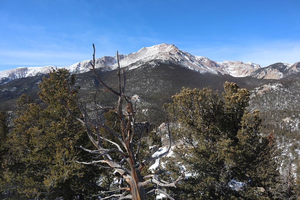
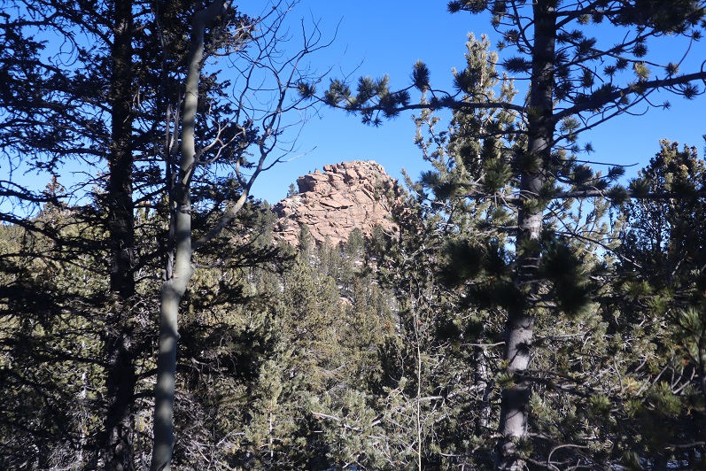
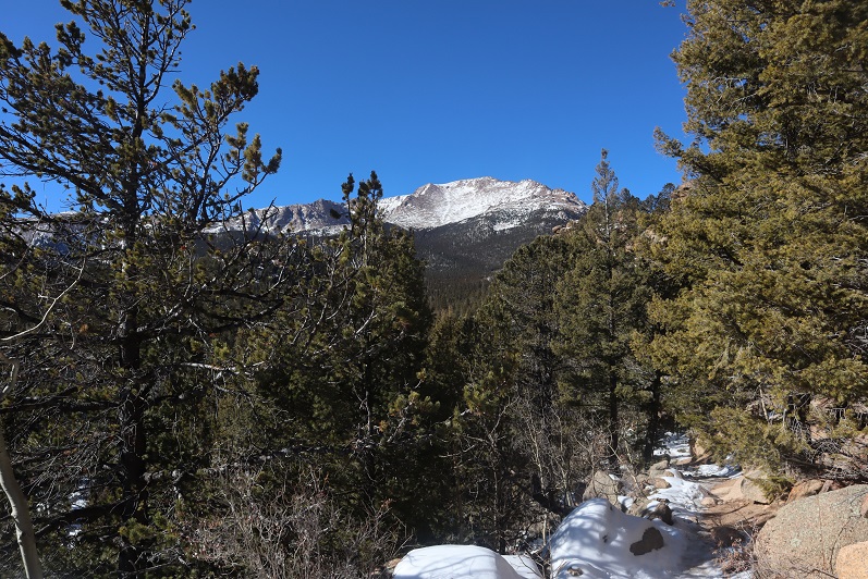
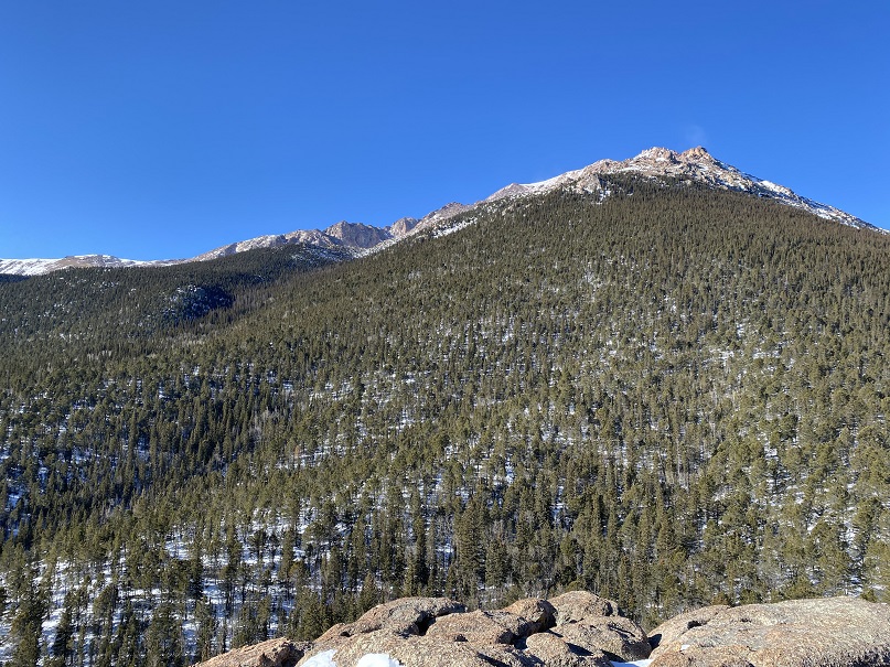
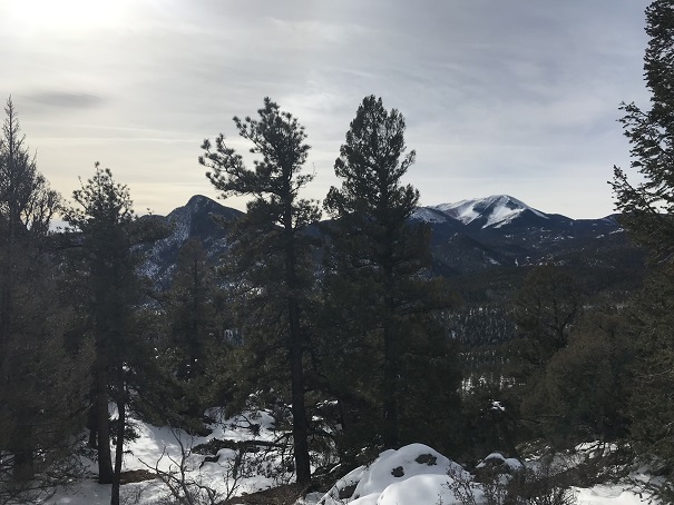
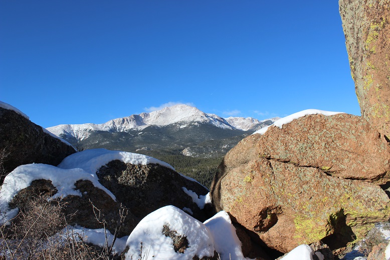
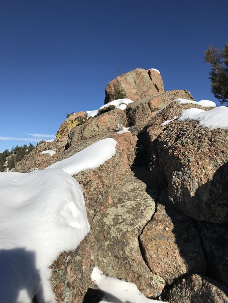
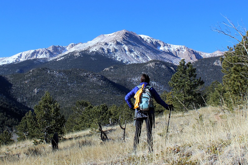
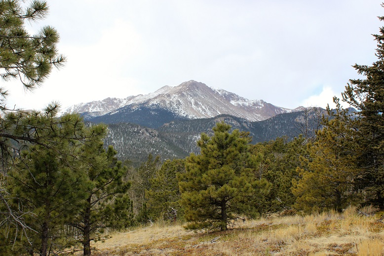
This is an obvious highpoint.  “Cascade Mountain” is to the west, but you’ll need ropes to climb it (no worries, it’s unranked anyway).  I continued on the trail as it now curved southwest, losing 575’ of elevation in just over a mile as it wound down to the creek.

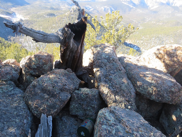
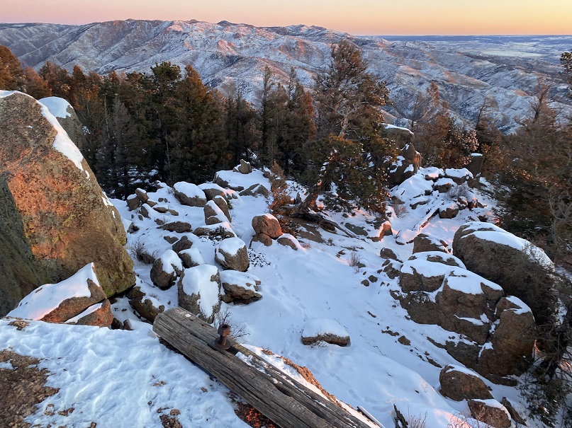
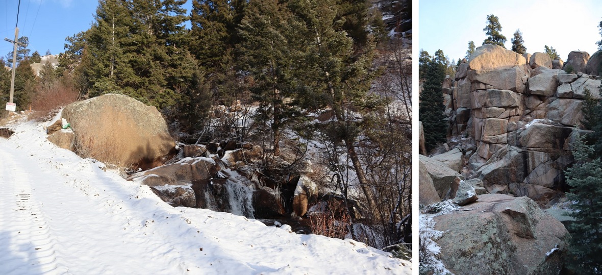
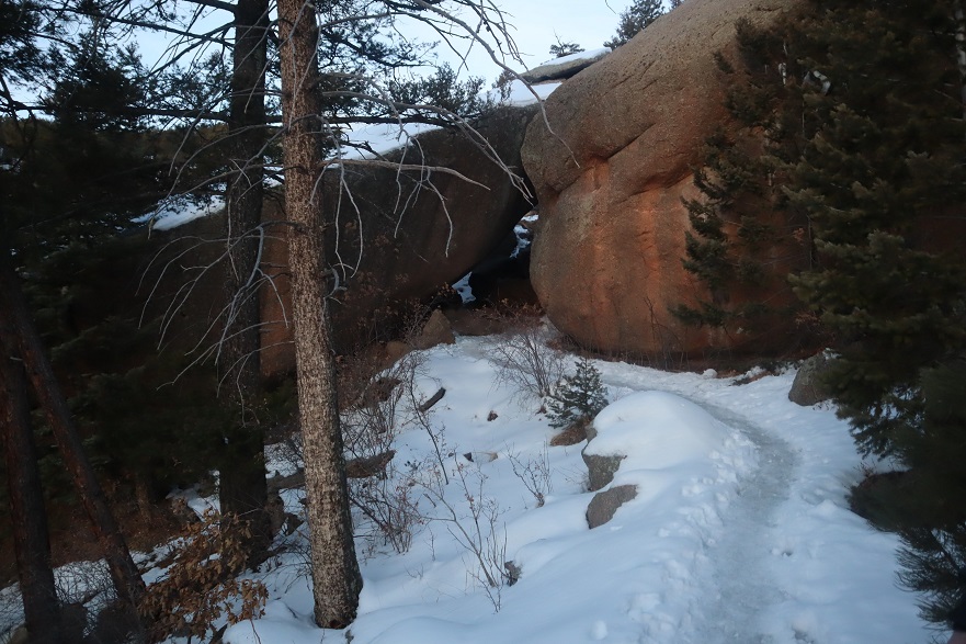
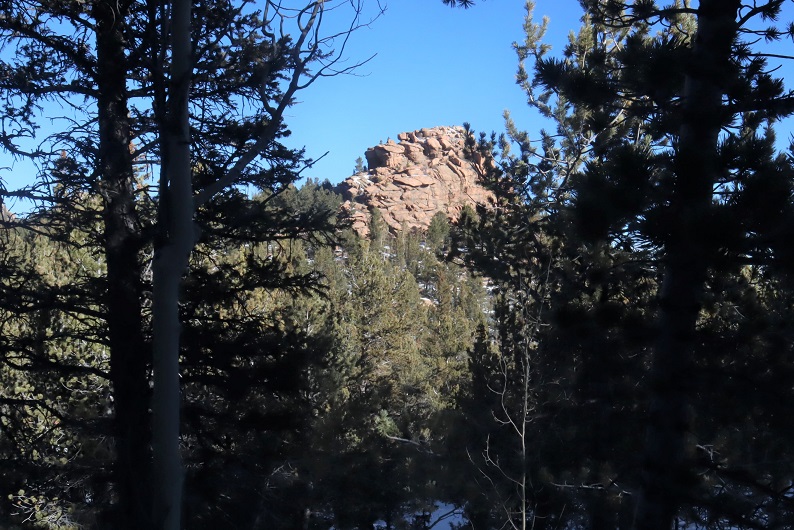
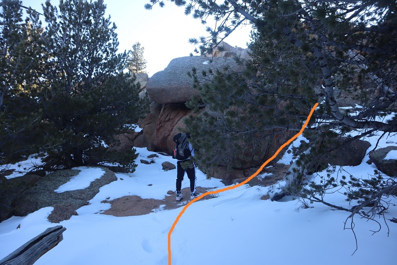
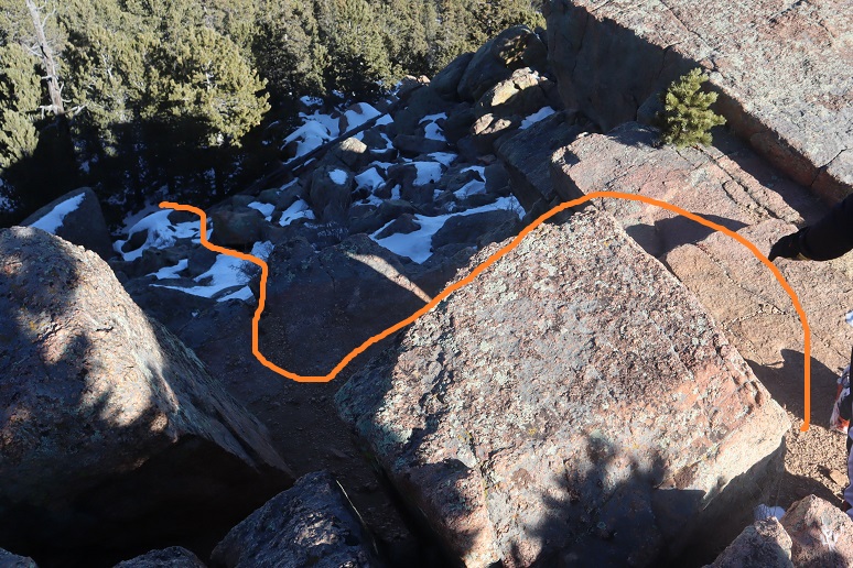
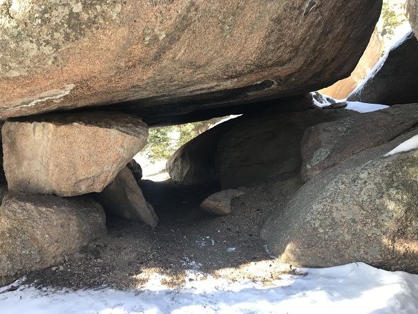
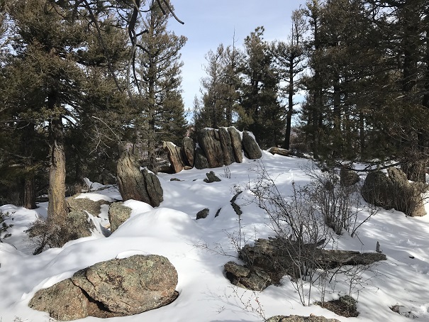
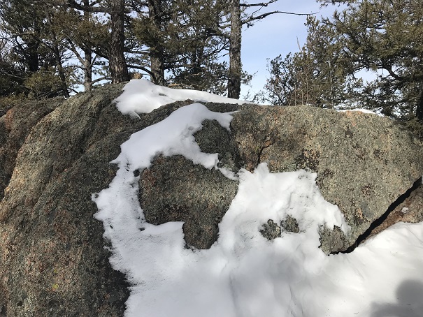
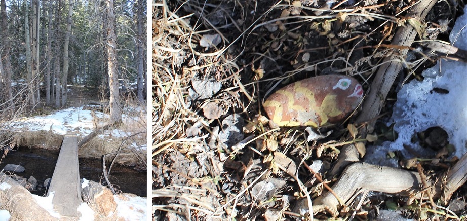
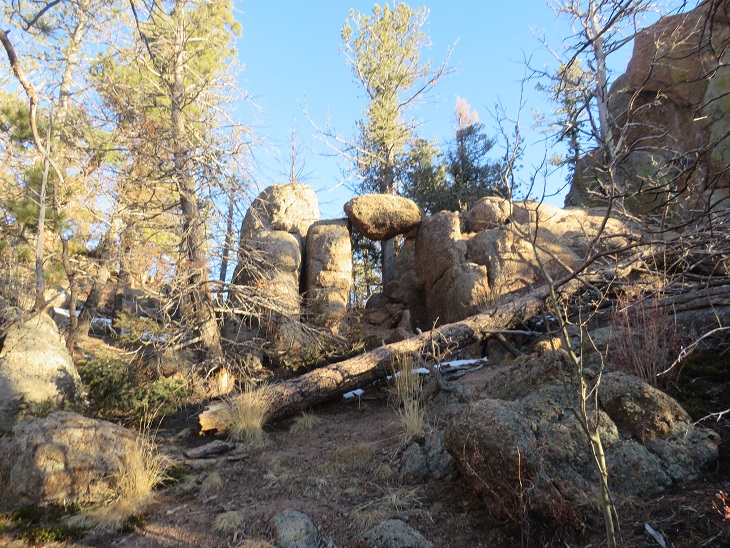
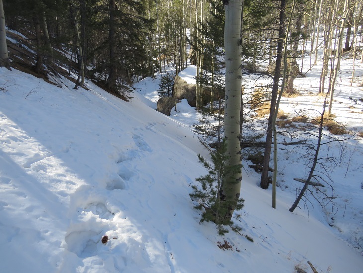
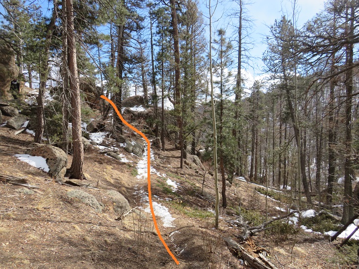
There’s a cool rock formation as you take your first switchback down (it’s on the left)

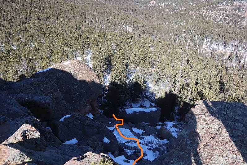
And then it’s down, down, down, following the drainage

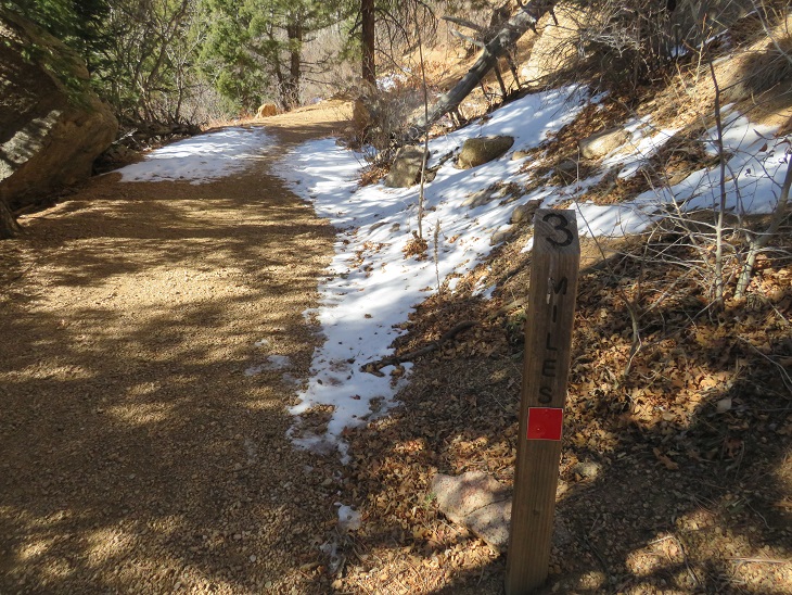
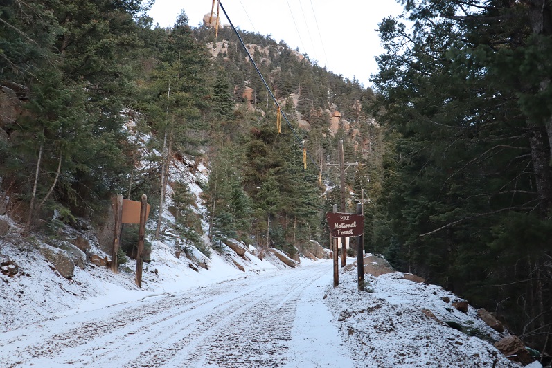
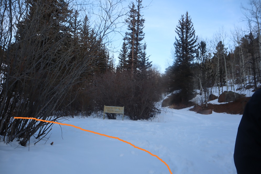
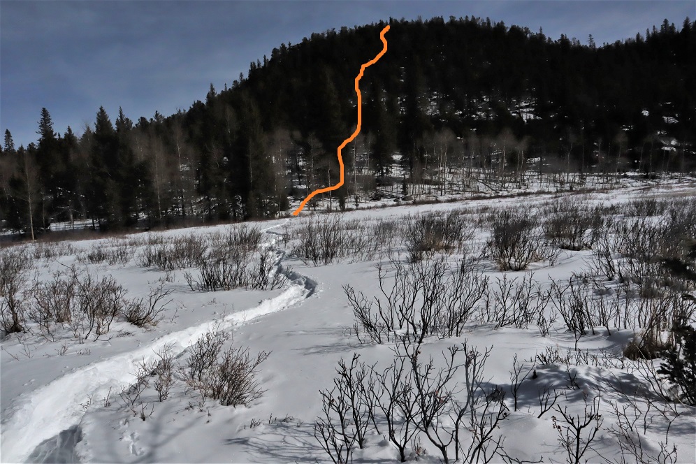
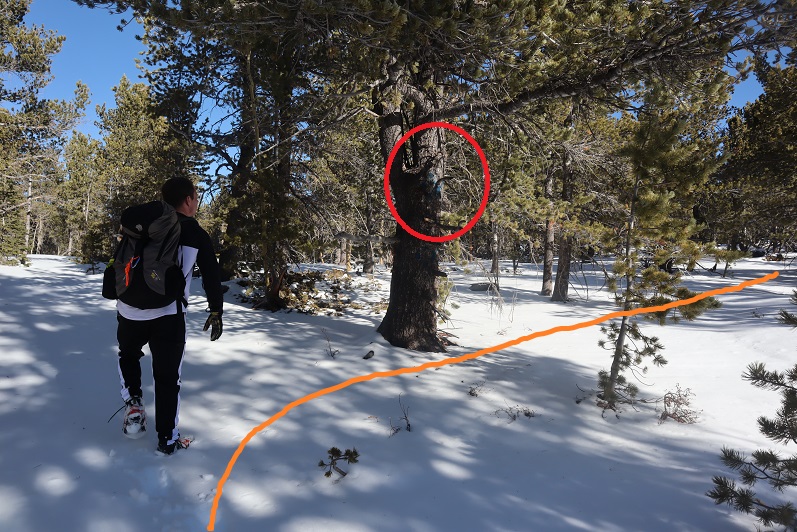
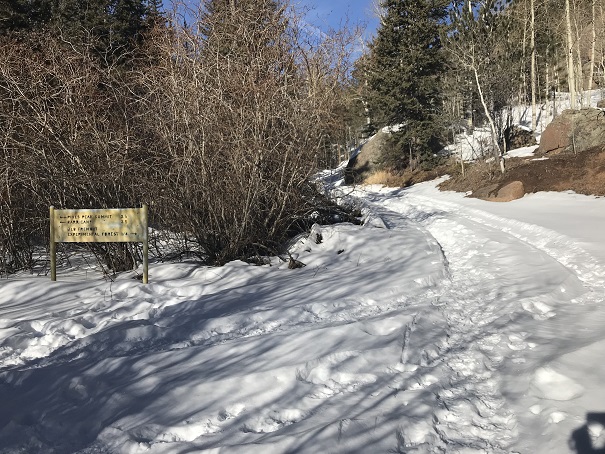
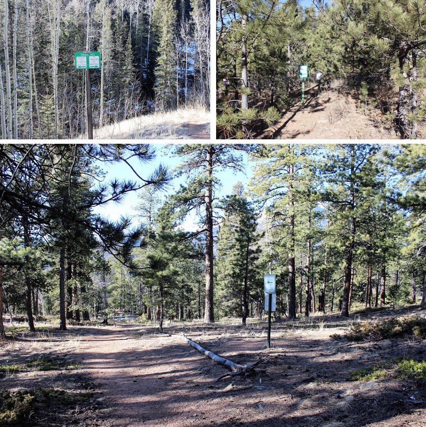
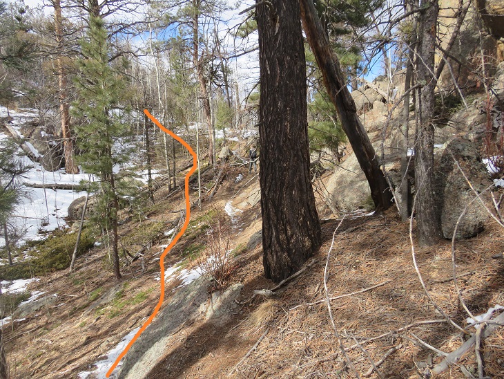
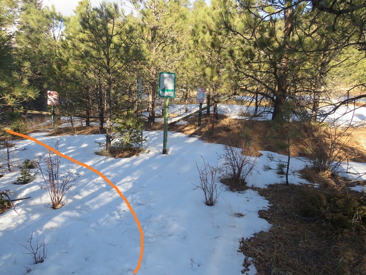
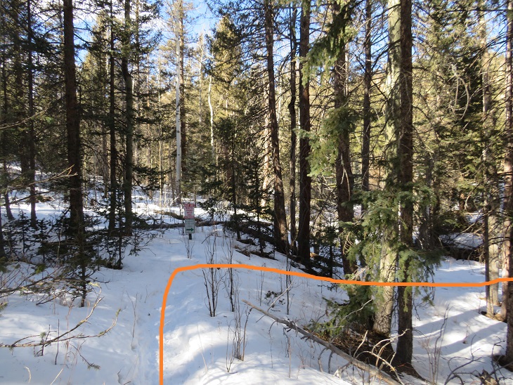
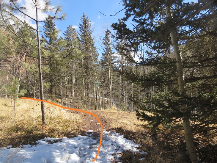
There’s an obvious junction, where you turn left to go to Mt Manitou (I’ll be doing this sometime soon, just because) and right to go to Barr Trail.  I turned right, following trail 703.

I quickly came to another sign.  Here you have to go left to avoid the Manitou Springs Water Shed and reservoir.  They’re very serious about their signage of no trespassing here (something I appreciate).  The sign said it was 2.5 miles from here to Barr Trail.  Someone had scribbled in “4 miles” underneath.  My CalTopo GPX shows it’s 4.4 miles (so obviously, the 2.5 miles is wrong; don’t get your hopes up).

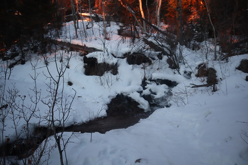
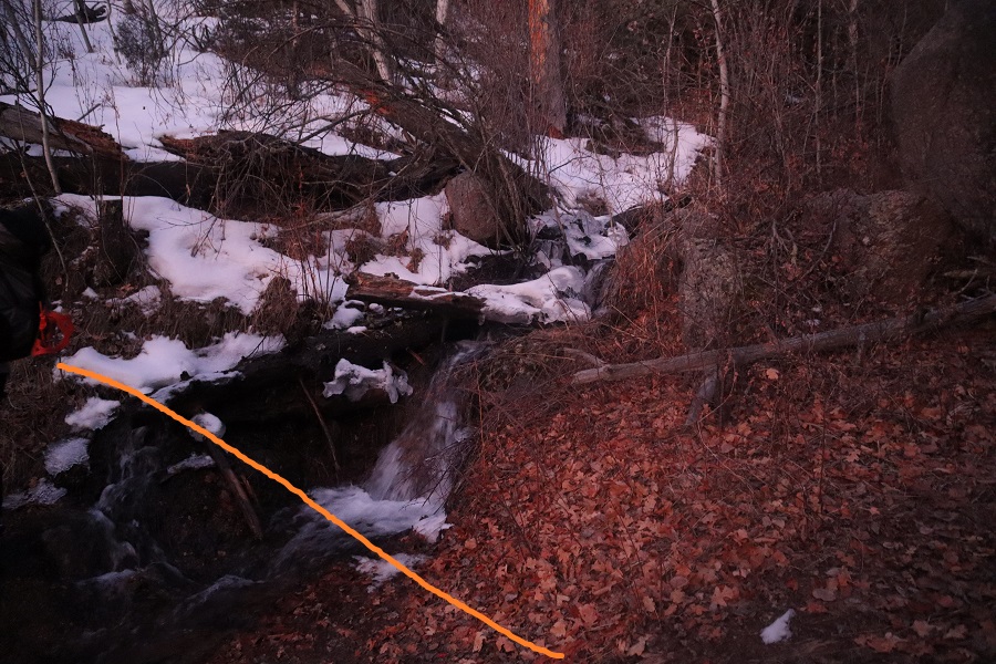
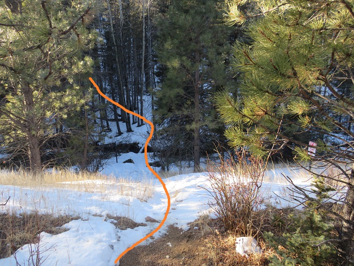
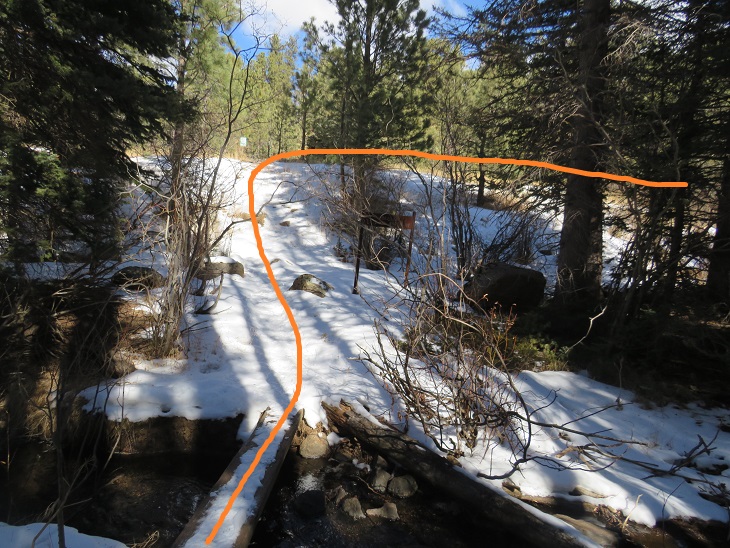
I turned left at the sign, and crossed North Fork French Creek and the trail became Trail 638.

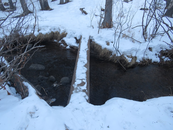
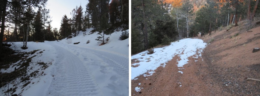
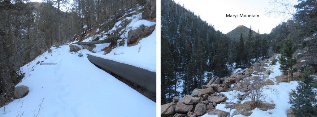
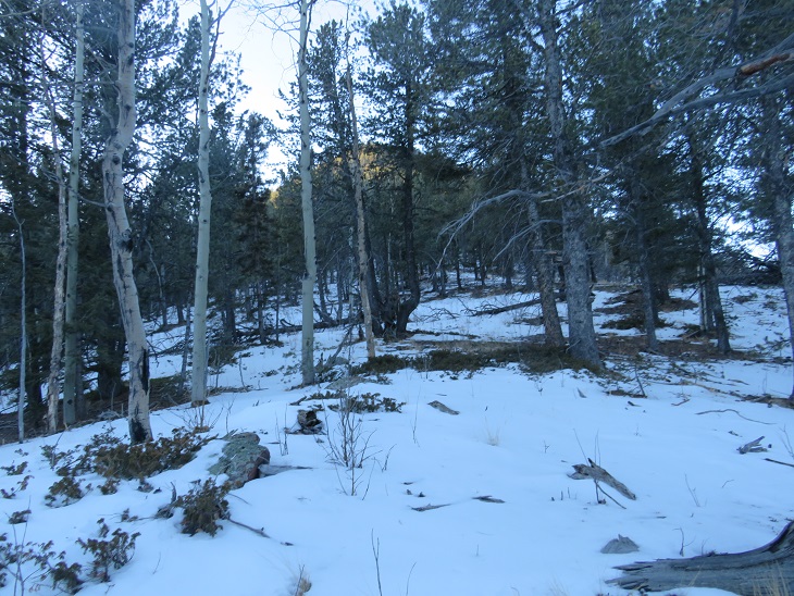
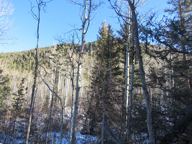
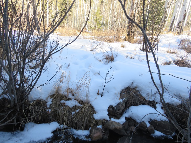
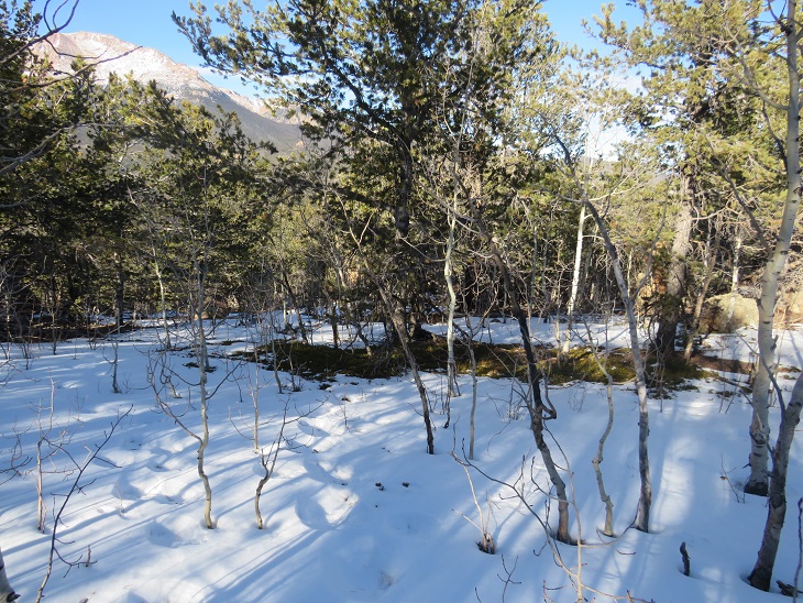
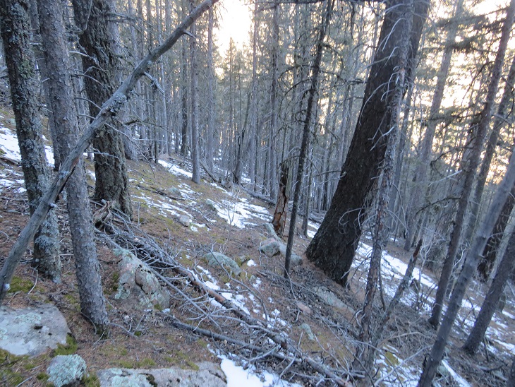
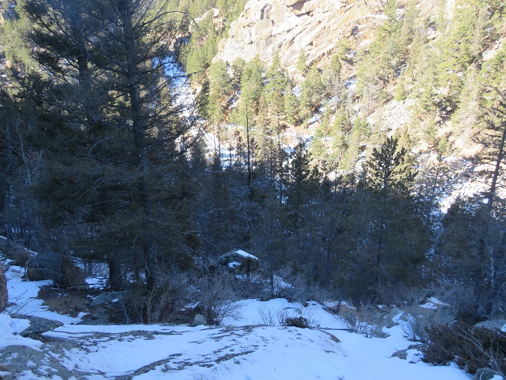
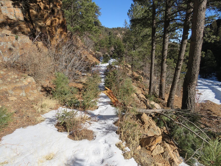
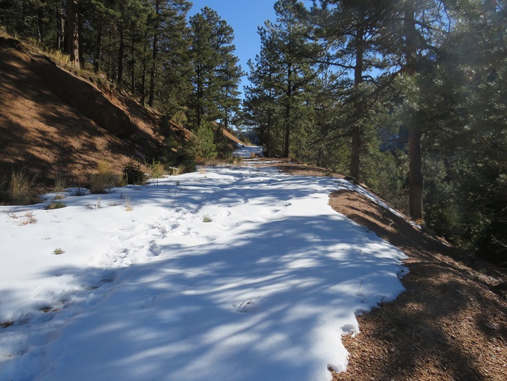
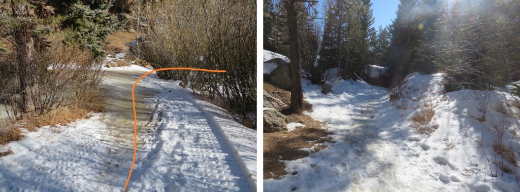
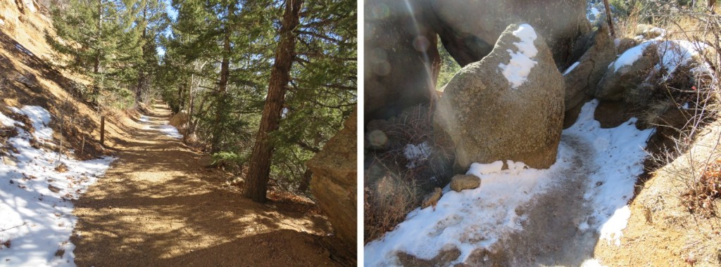
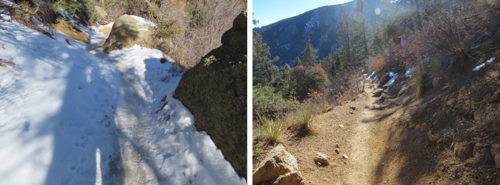
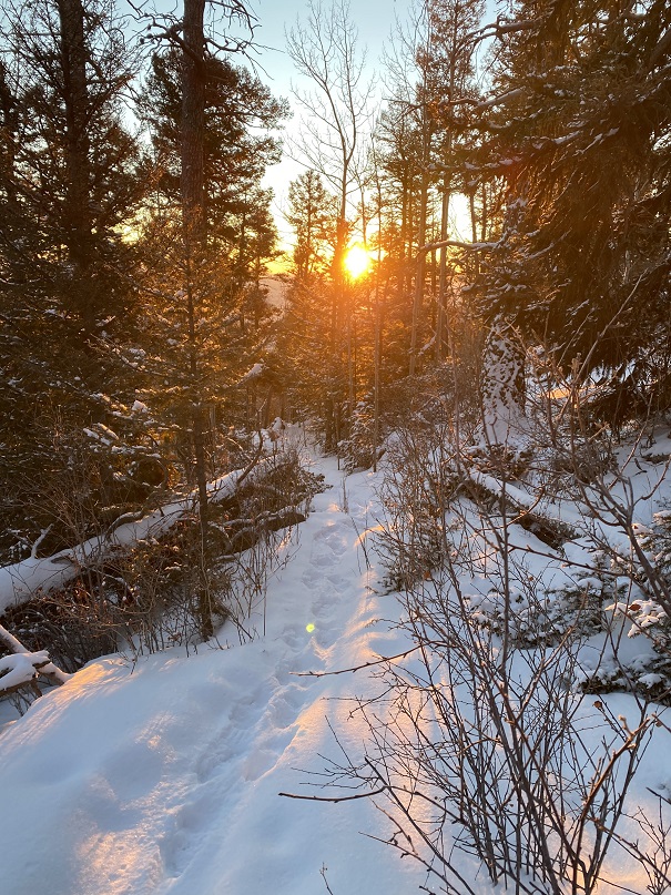
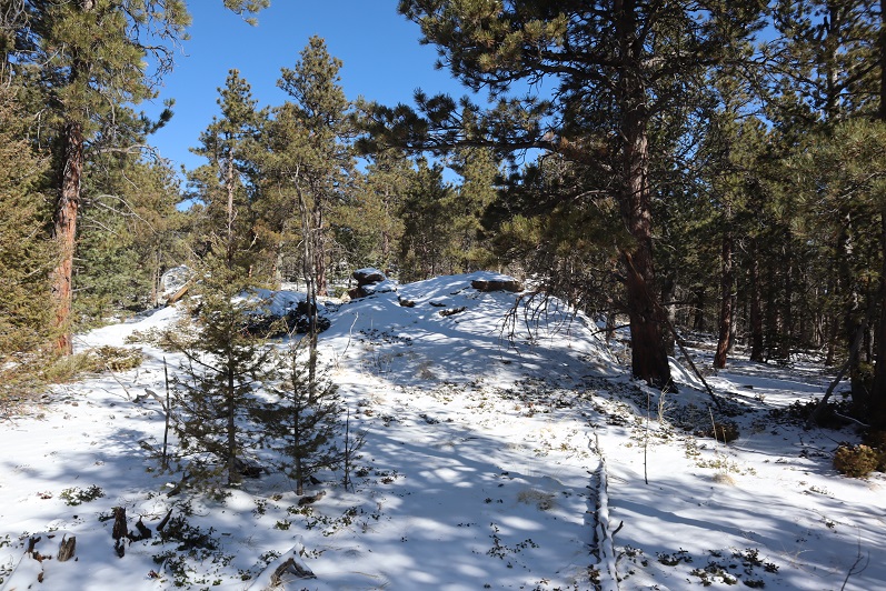
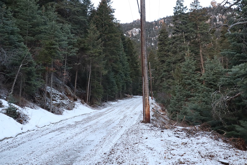
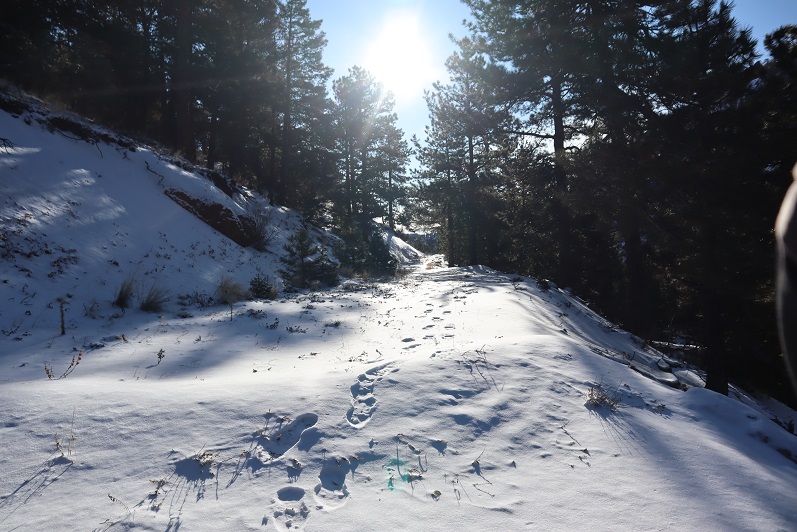
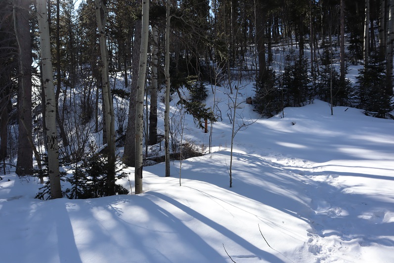
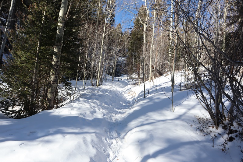
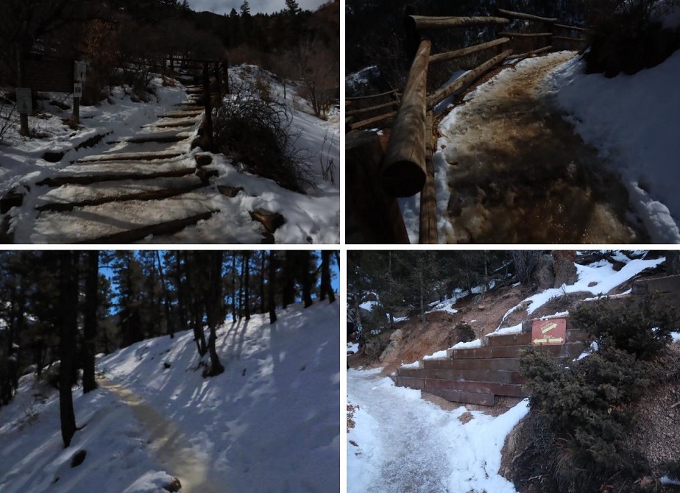
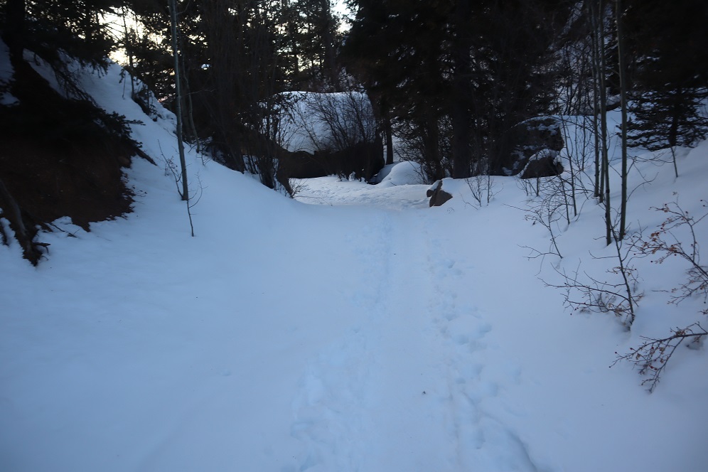
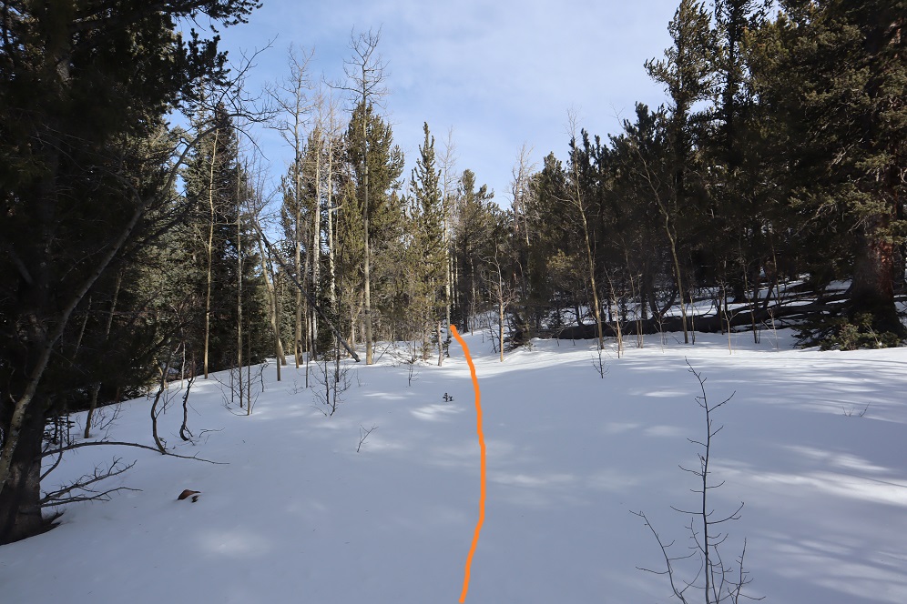
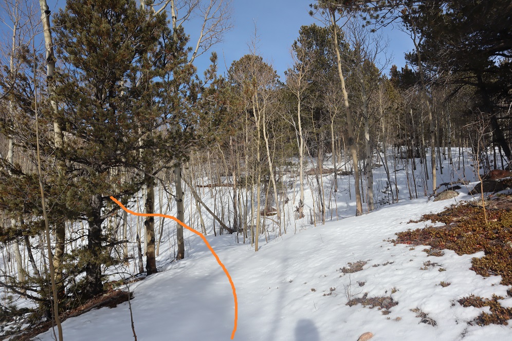
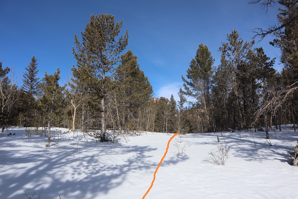
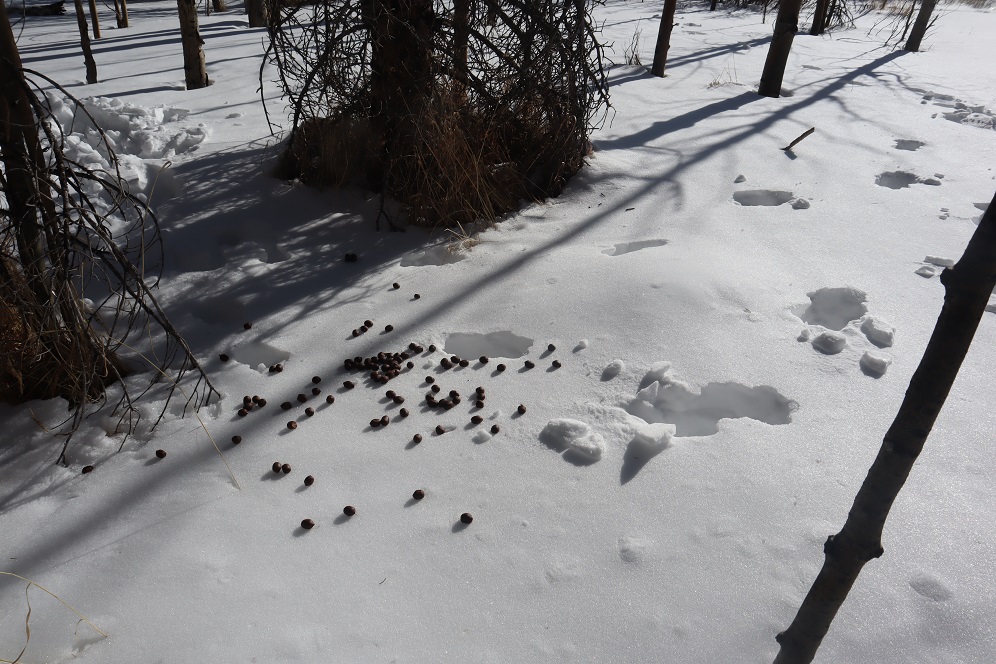
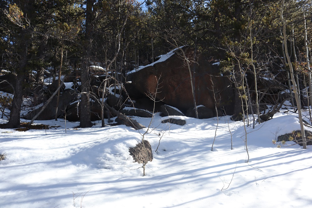
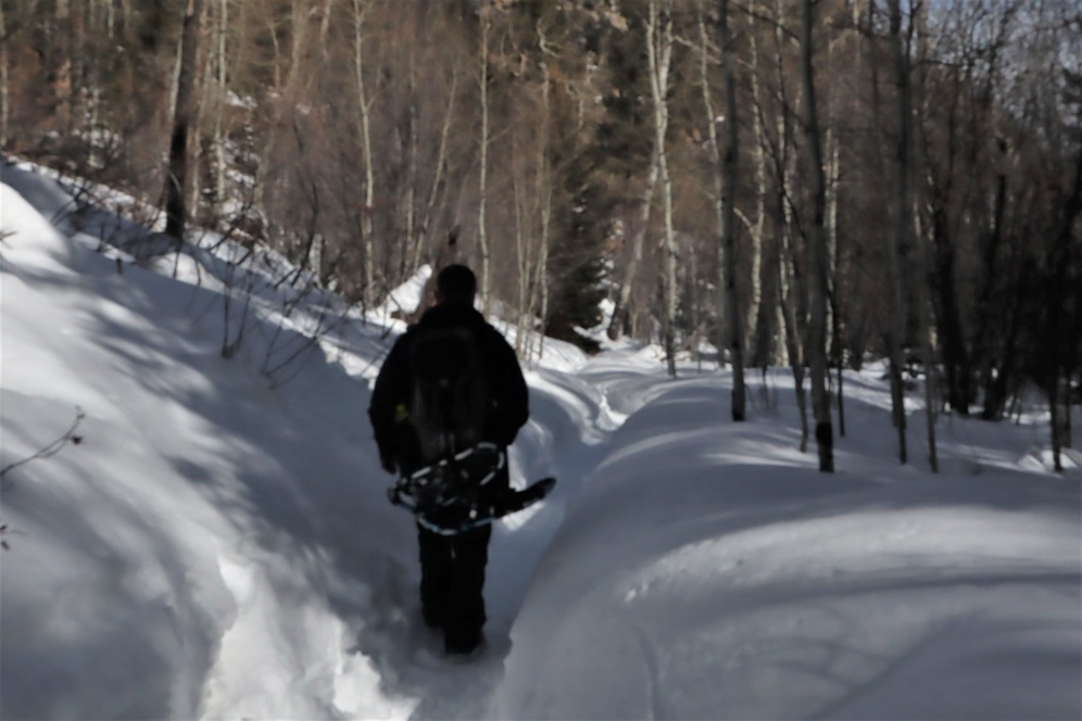
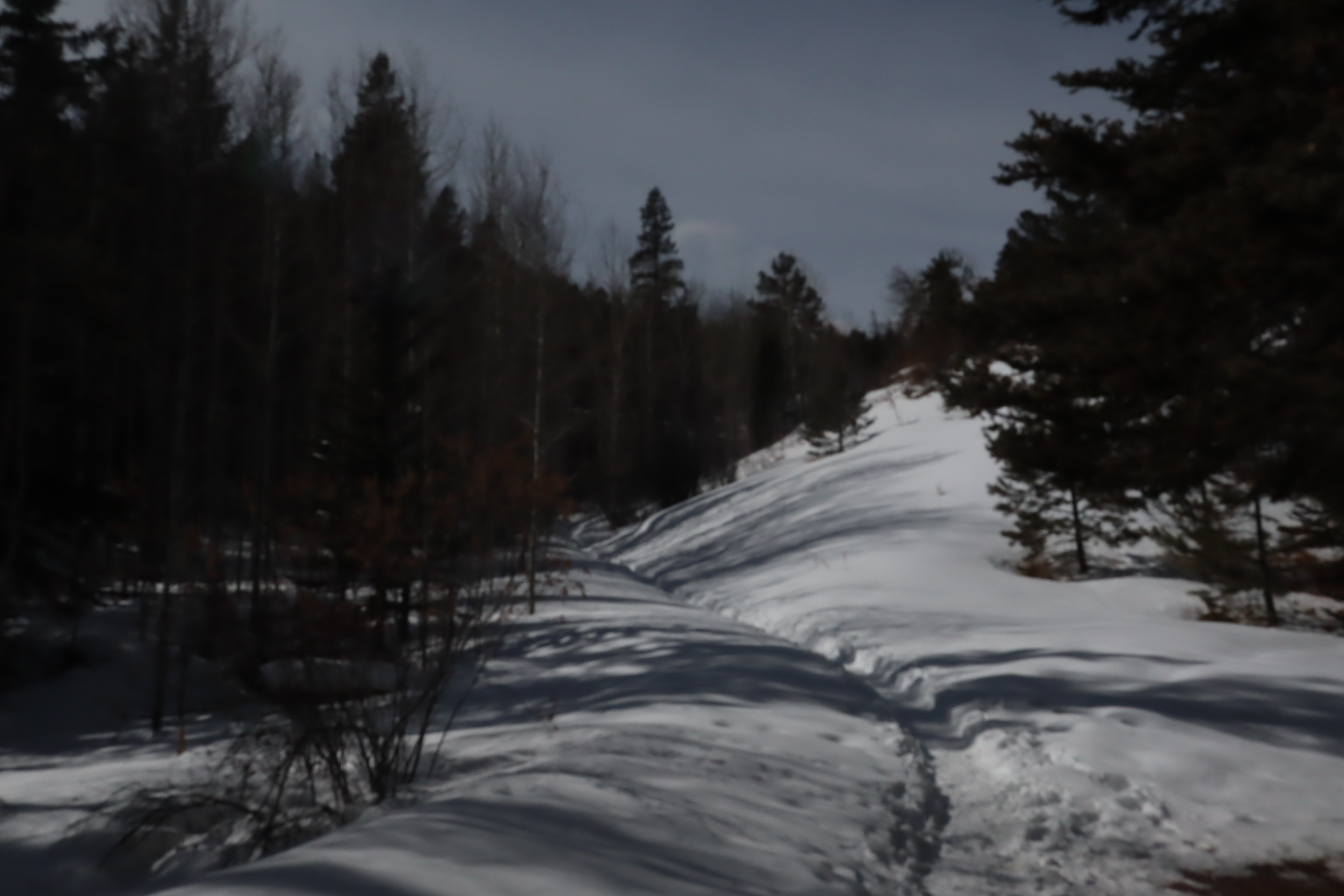
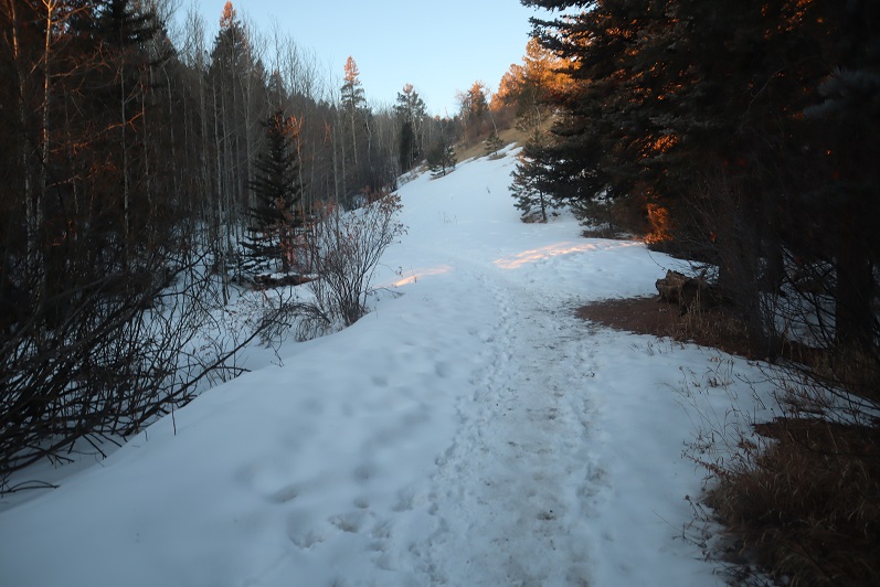
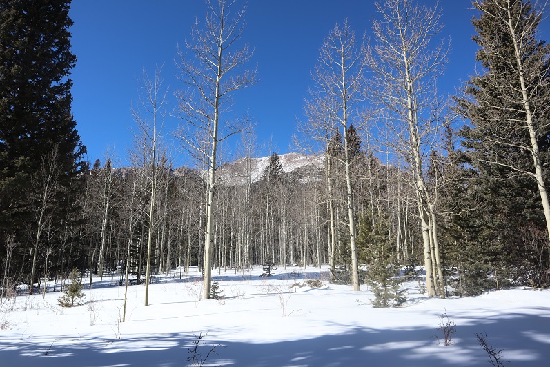
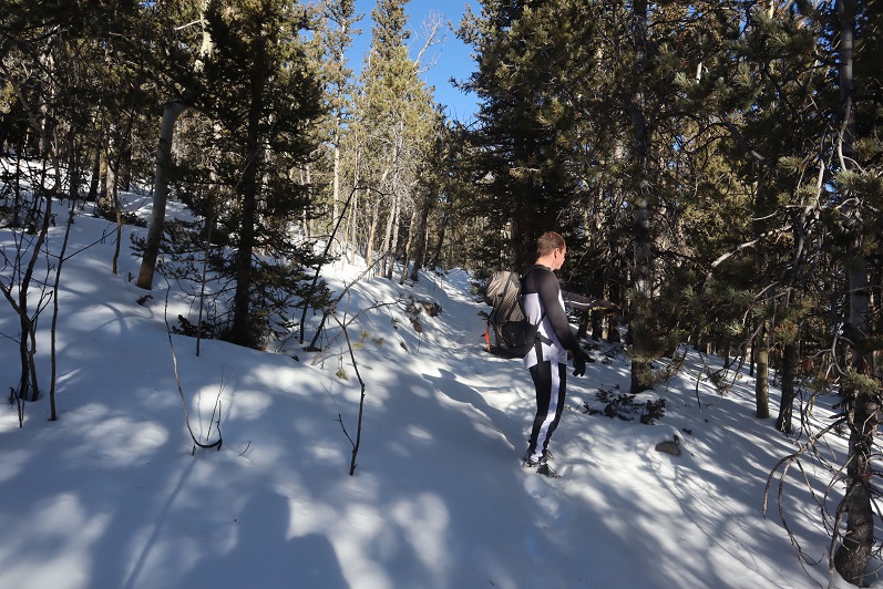
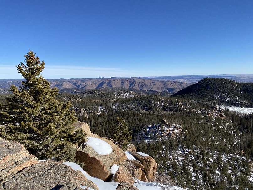
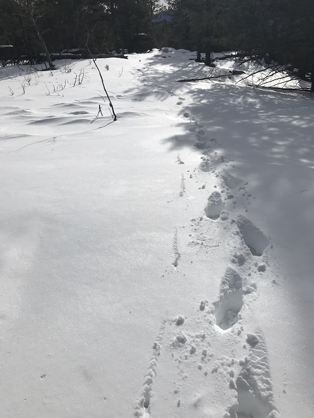
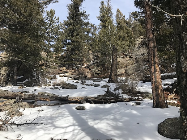
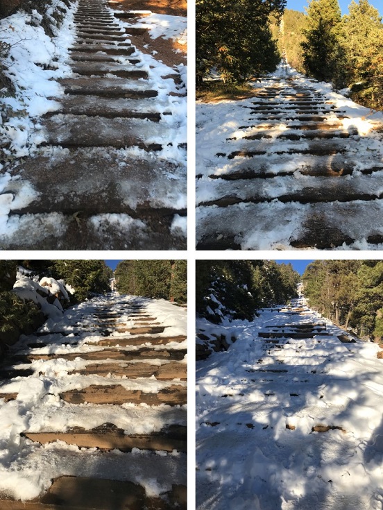
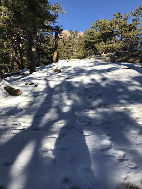
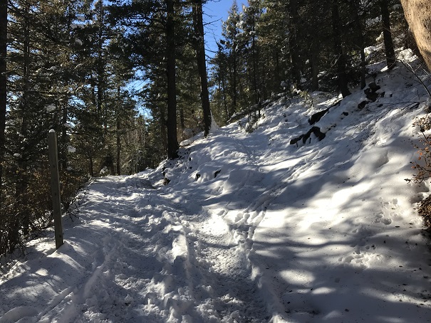
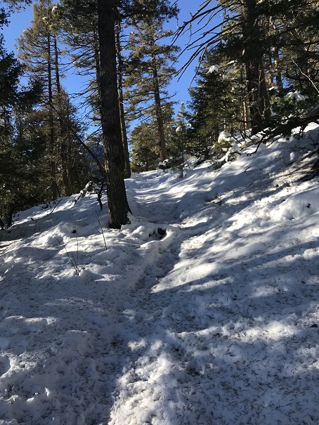
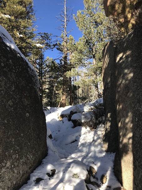
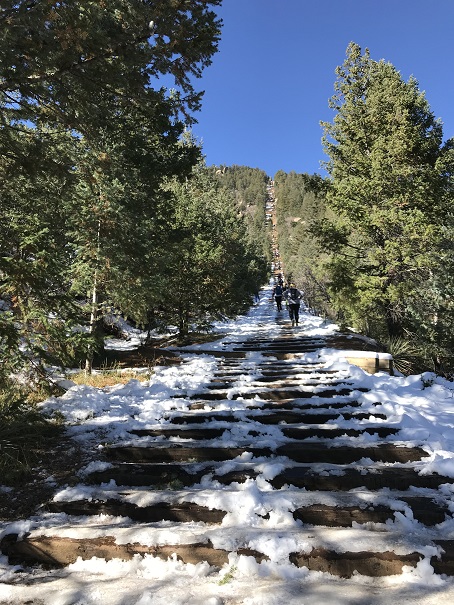
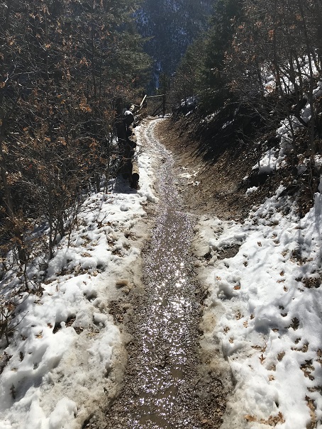
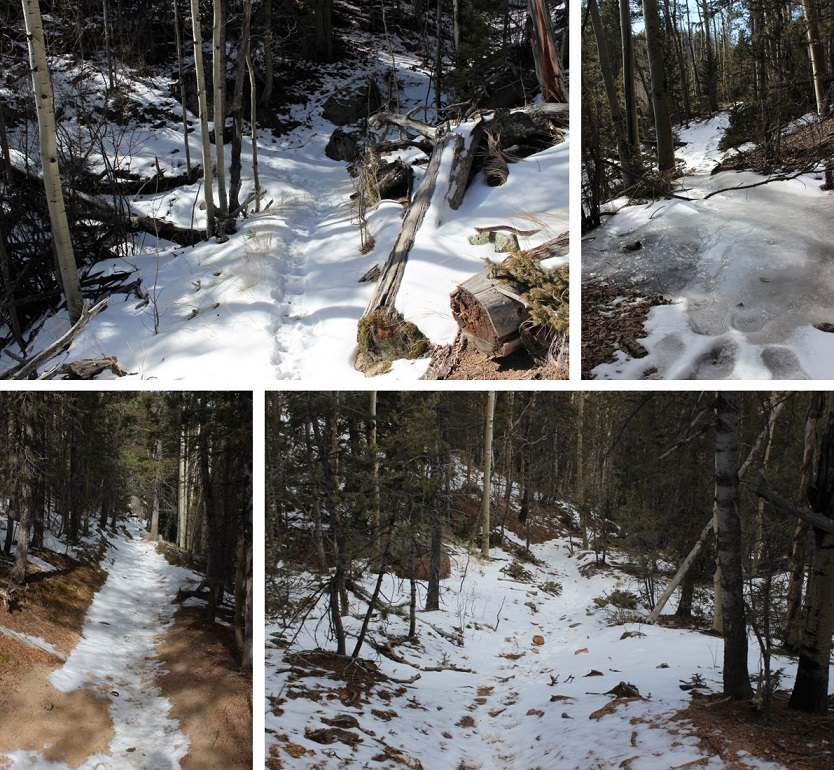
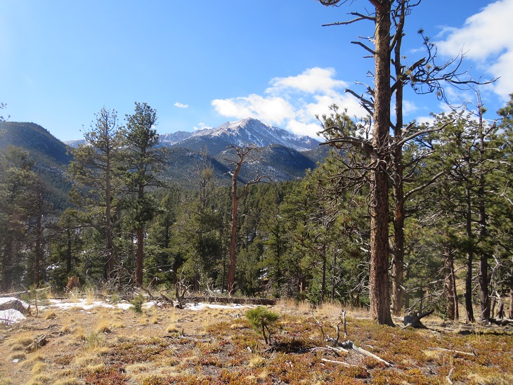
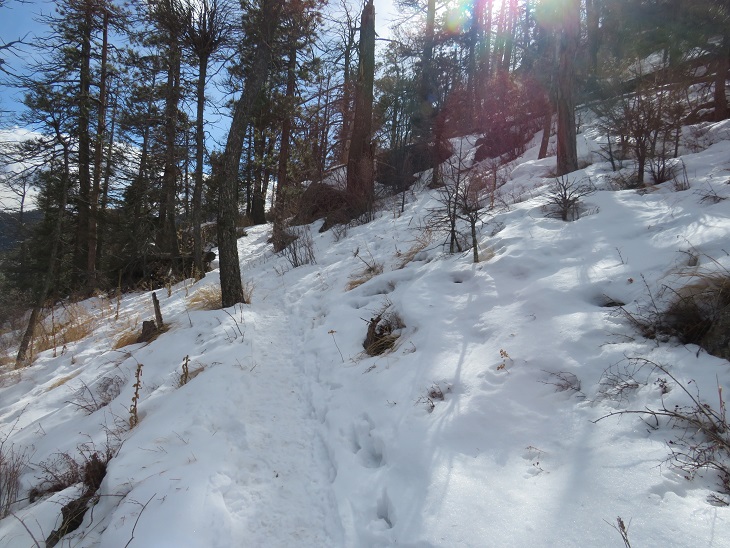
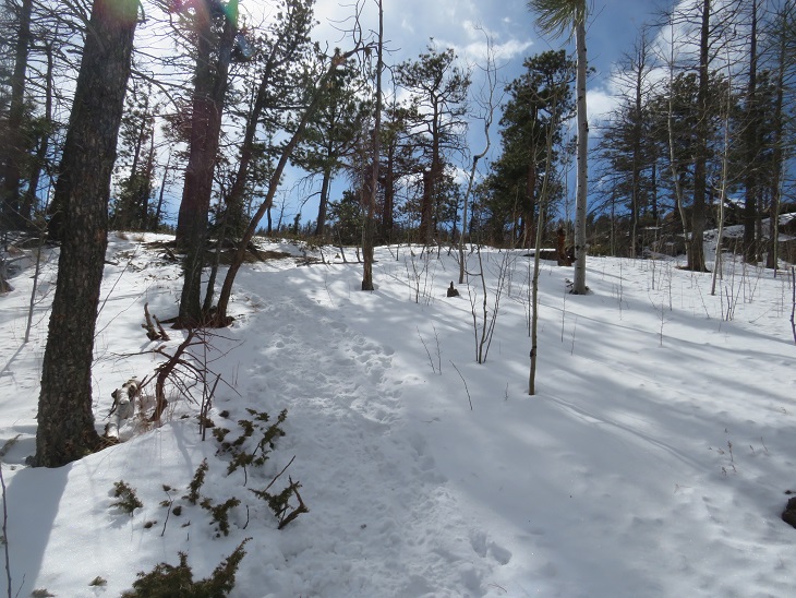
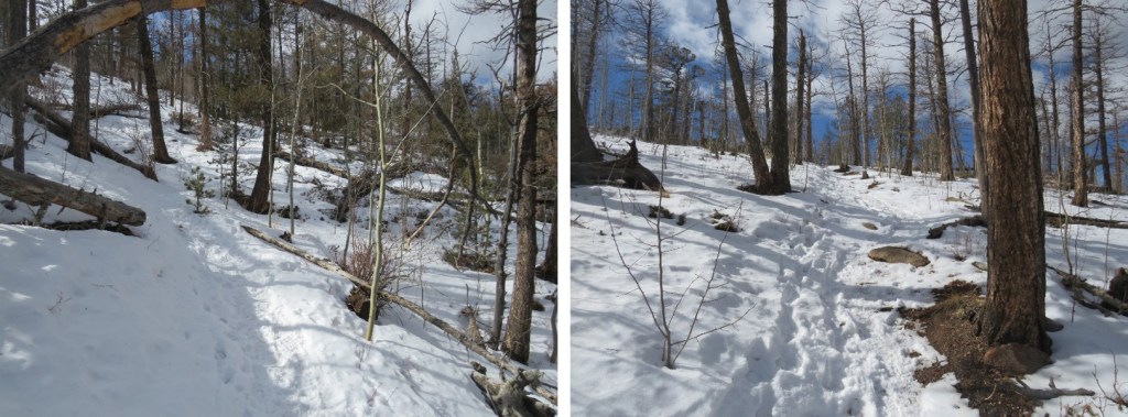
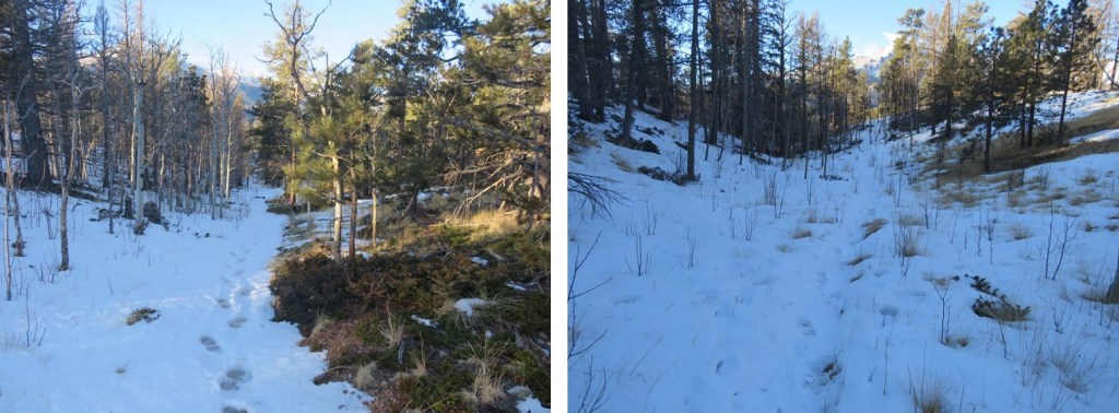
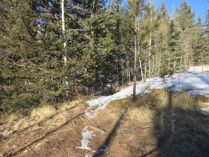
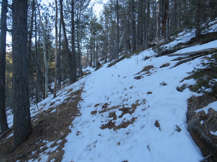
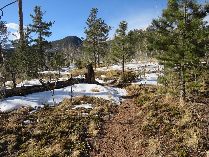
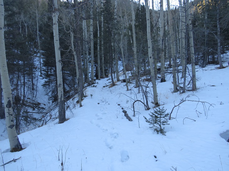
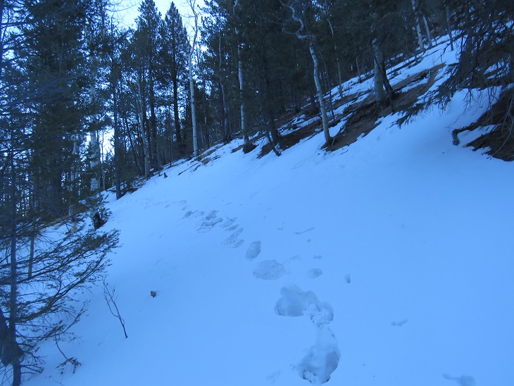
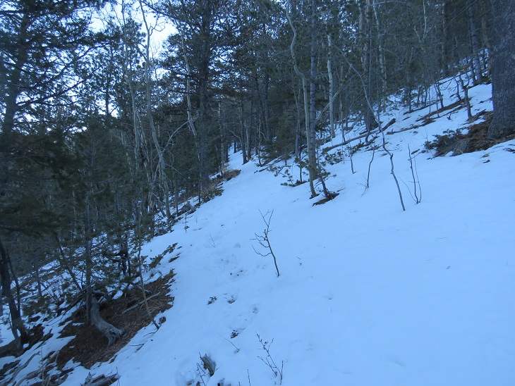
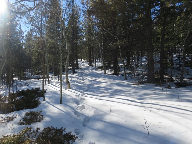
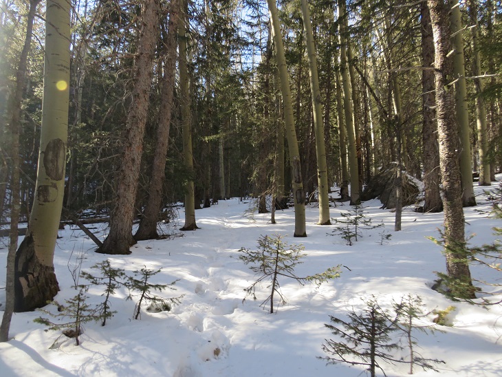
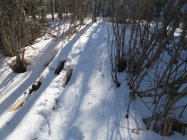
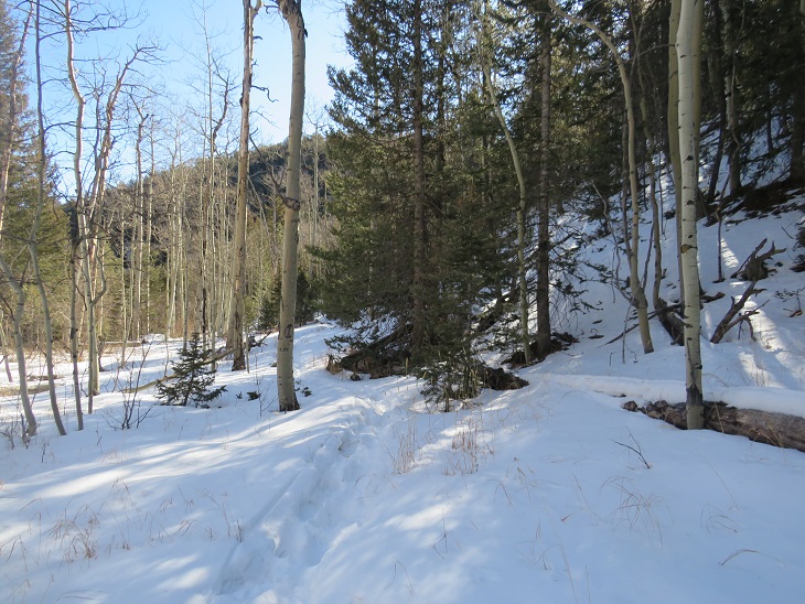
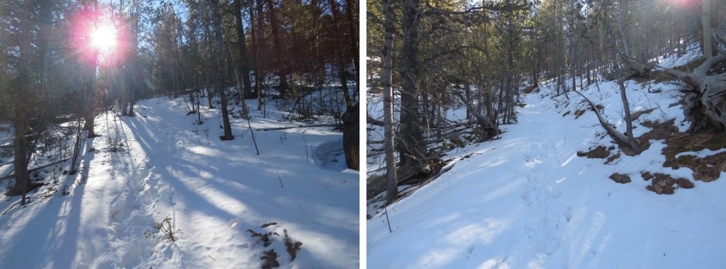
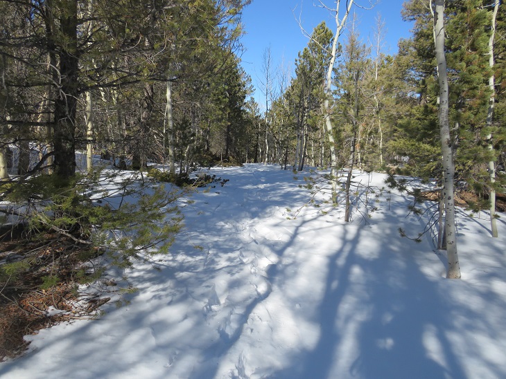
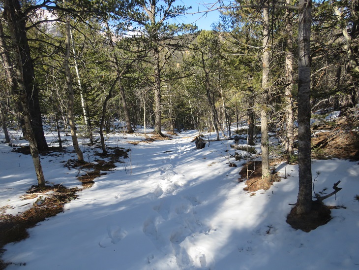
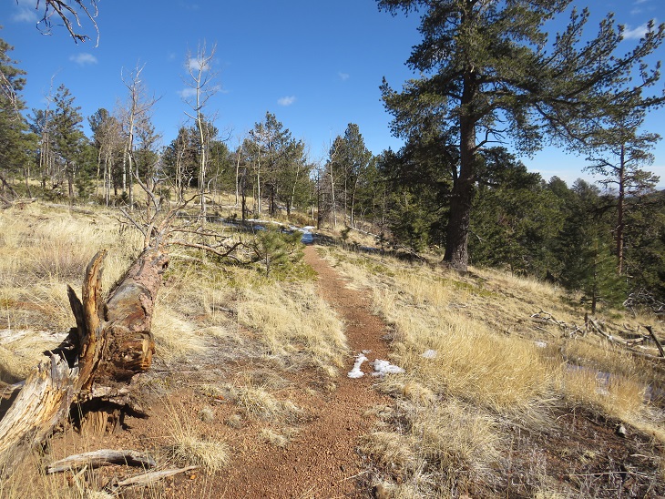
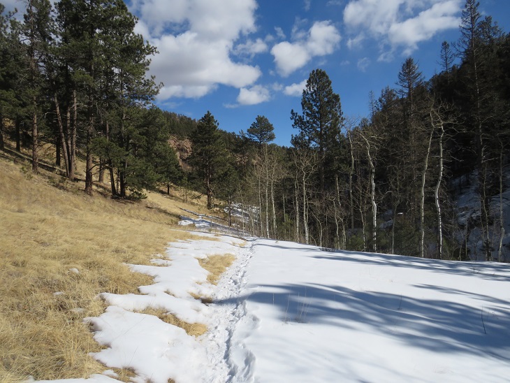
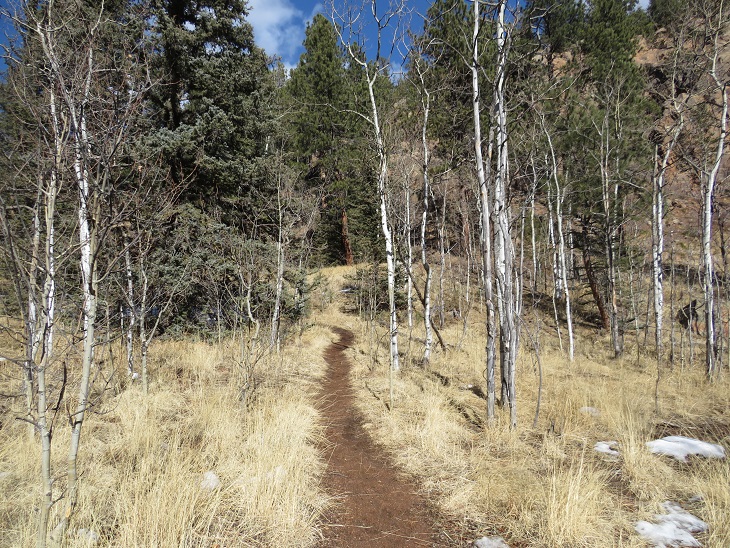
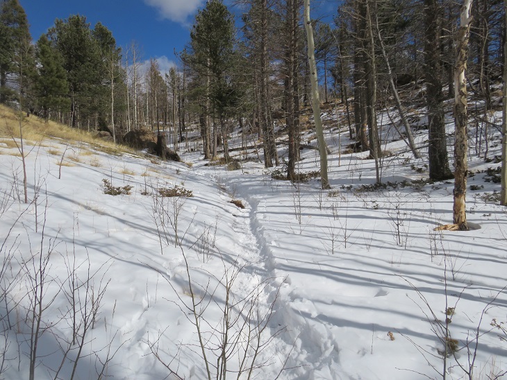
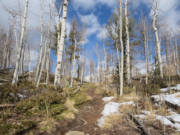
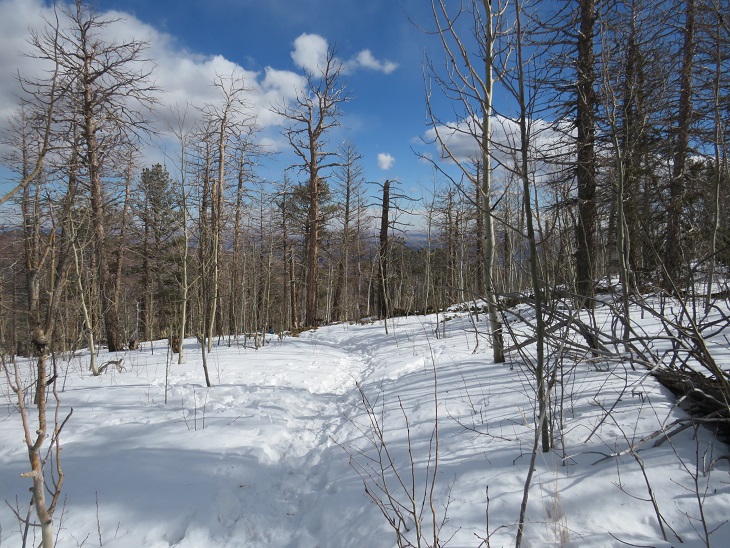
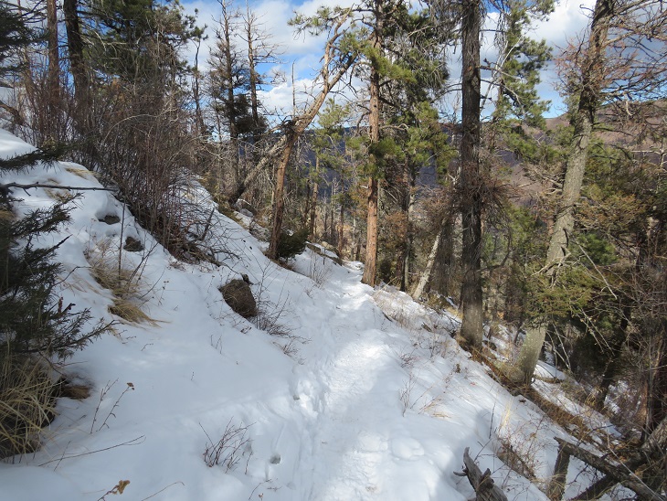
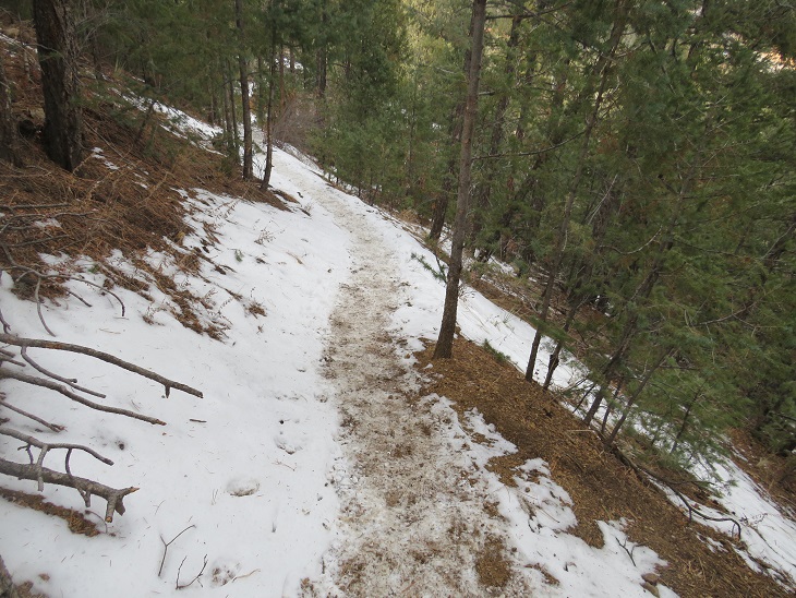
From here the well-traveled trail I’d been hiking on was now snow covered, with only one set of footprints.  These footprints lasted the entire way to Barr Trail, and made it so I didn’t need to put on snowshoes.  Yes, I still postholed at times, and I thought it interesting there were no footprints going in the opposite direction. It hasn’t snowed in a week, so this is proof this trail doesn’t get much use (especially in winter). Here are some pictures from along the trail, as it wound south towards Barr Trail.  Notice how frequently the terrain changes?  The snow levels changed too, depending on how much sun that side of the mountain received.

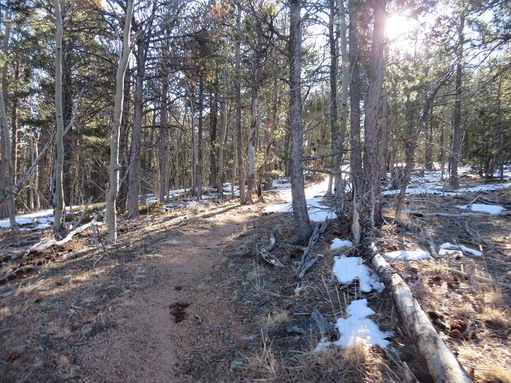
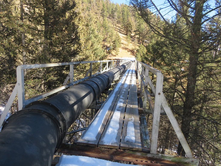
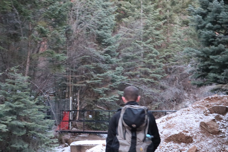
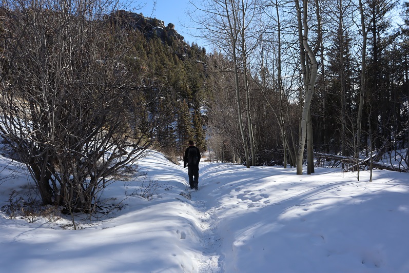
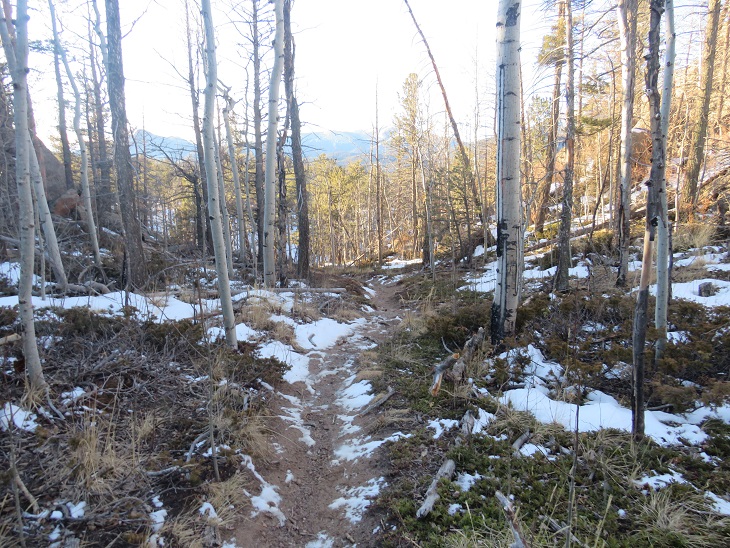
I crossed South Fork French Creek on a log bridge and followed the trail another 1/3 of a mile to Barr Trail.  This part had some uphill to it, but was still on a class 1 trail, and bonus:  it looked like some snowshoers had been I the area.

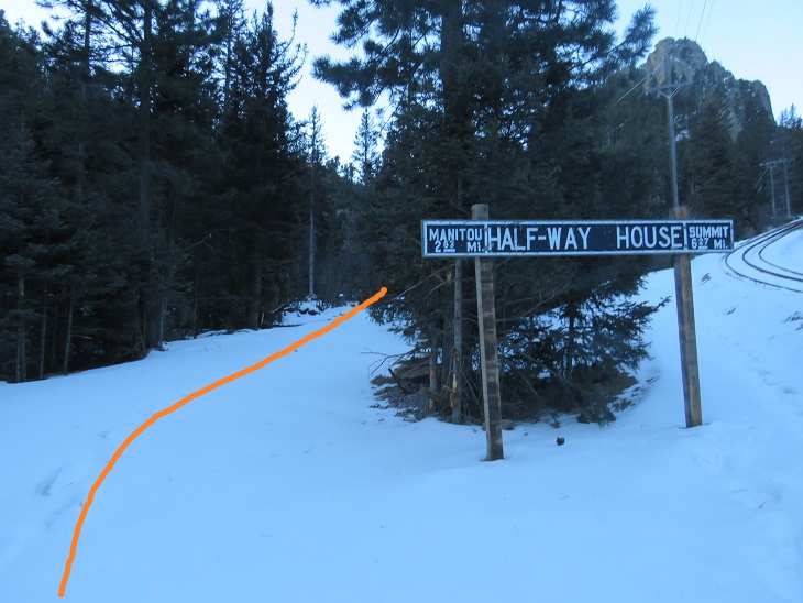
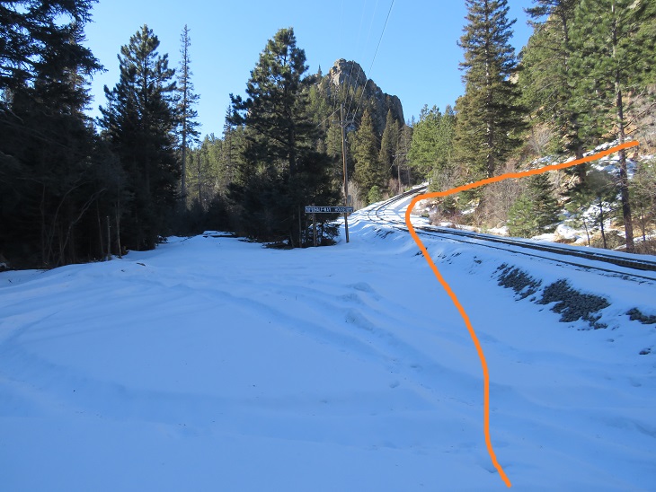
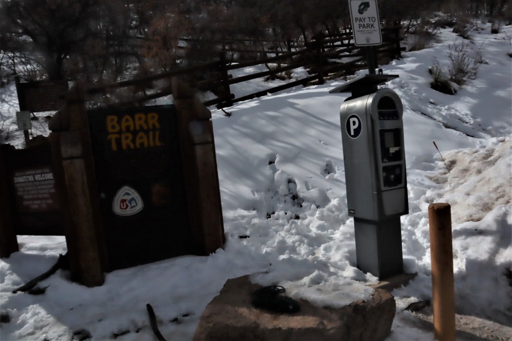
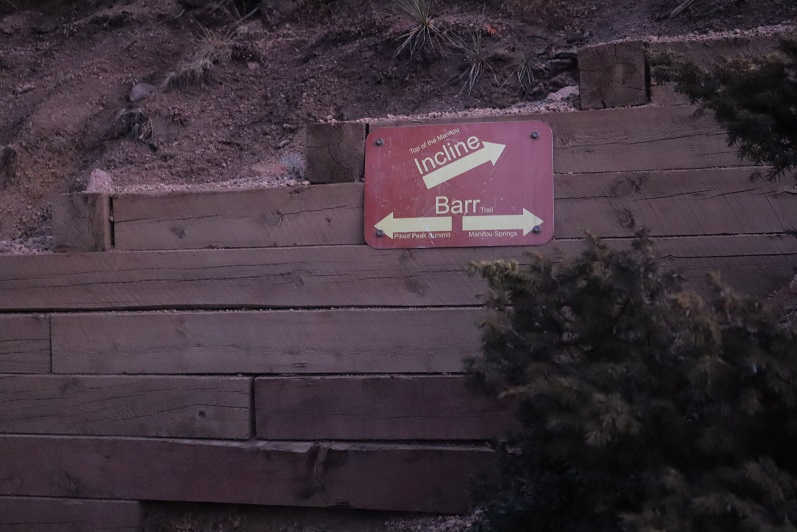
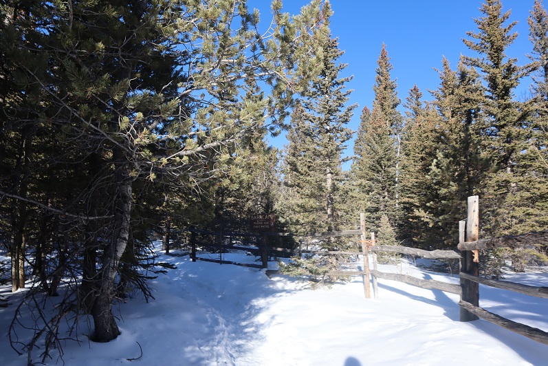
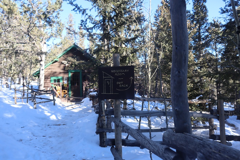
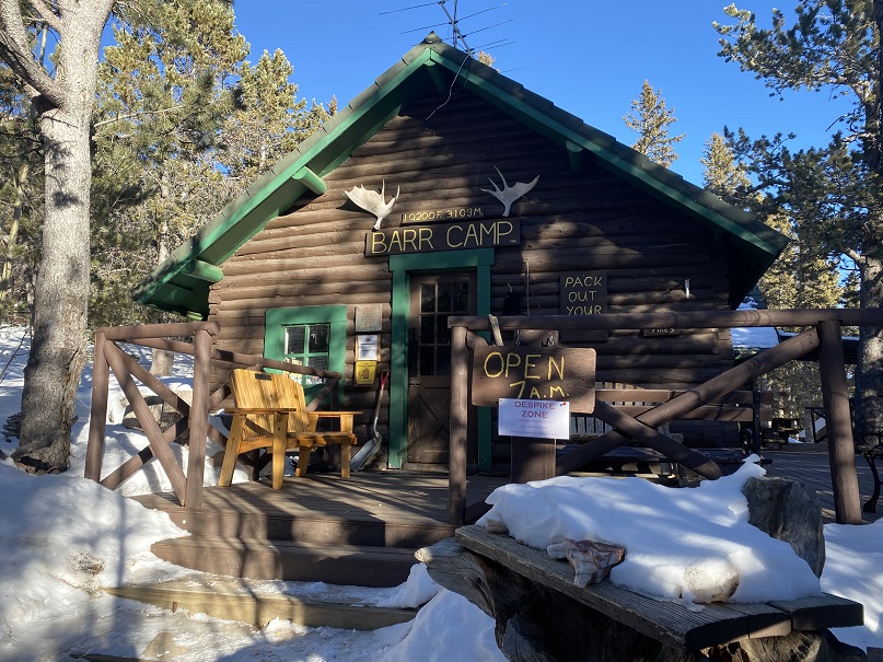
I made it to Barr Trail at 10:20am.  It had taken me 4 hours to get from Heizer Trail to Barr Trail in less than ideal conditions (January).  CalTopo says it was 7.75 miles of hiking. It’s obvious when you get to Barr Trail, as you come to a ‘T’ in the trail, and see this metal sign.  Going right will take you to Barr Camp / Pikes Peak, going left will take you to the Manitou Incline and Barr Trail Parking Lot.

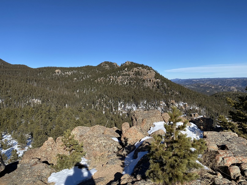
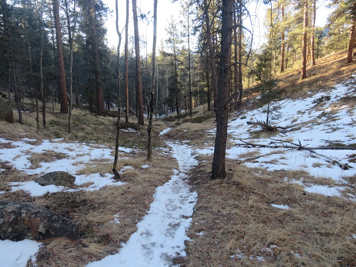
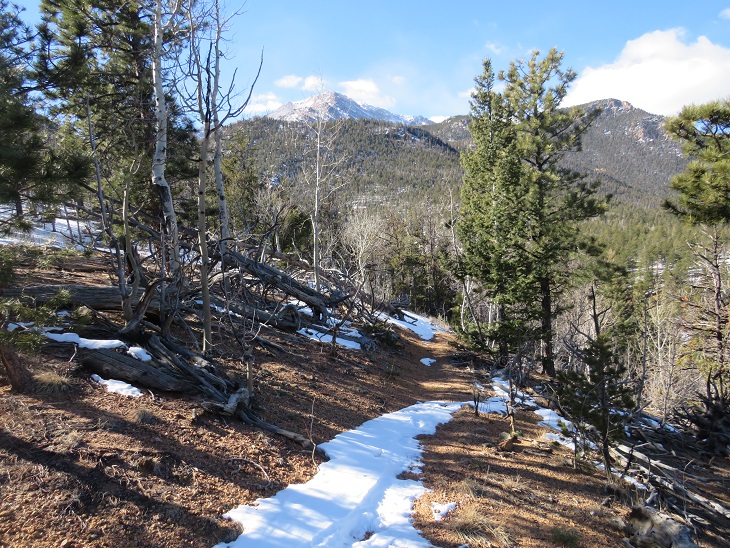
I turned around and headed back the way I’d come, following my tracks.  Here are pictures of the trail in reverse.  Next time I do this hike I think I want to do PT 10245 with it (I’ve already summited this point, but from the other side.  It looks easily doable from this trail as well).

Back over North Fork French Creek

And following the creek to the junction, where I turned left and followed Heizer Trail

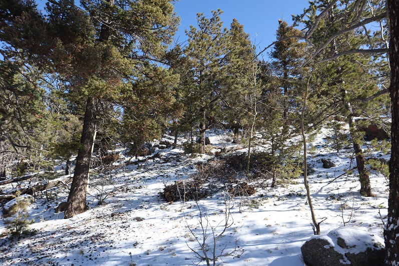
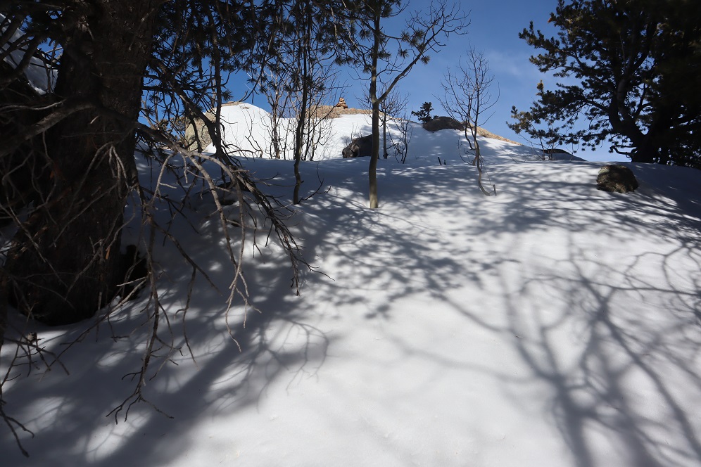
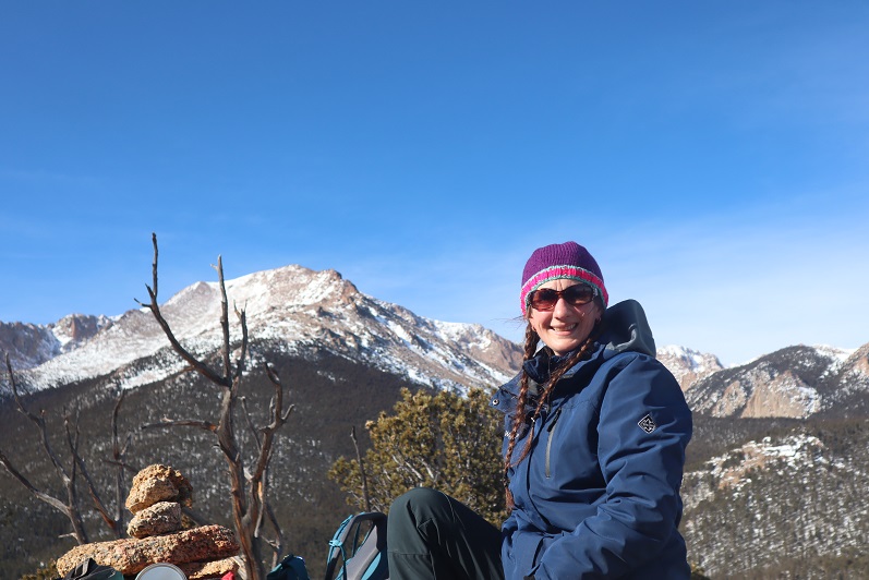
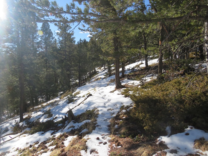
Here I gained 575’ of elevation as I hiked to the highest point (once again, cool rock formations at the highest point here).  This is also where I started seeing other hikers on the trail.  It looks like most people just hike to Cascade Mountain, but some make it all the way to the junction.  

And then I followed the trail back down to the trailhead, losing 1925’ of elevation as I did so.

Then I followed the road back to my truck.

I made it back to my truck at 1:20pm, making this a 15.2 mile hike with 4323’ of elevation gain in 7 hours. 

Marys Mountain – 9860’ and Sheep Mountain – 9820’

RT Length: 12.77 miles

Elevation Gain: 4823’

These peaks have been on my short list since last year, when I attempted to hike them in winter by following the cog railway (which was under construction and not running).  I learned two things:  There was too much snow to summit this time of year from the cog, and the route is seriously steep!  My legs were burning after just 2 miles. 

I’ve been hiking in this area the past few weeks and was surprised at how little snow there was, so I figured now was a great time to attempt this hike. I parked at the Barr Trail lot, paid the $10 fee at the machine, and was on my way at 6am.

This time, instead of following the cog railway, I followed Barr Trail for just over 3 miles.  This is a class 1 trail that is well maintained.  Spikes are recommended in winter.

After hiking for 3 miles I came to a junction for the experimental forest and Barr Camp. Here I stayed on Barr trail, turning left.  The trail became an ice skating rink here, but not for long.

I only stayed on this trail for a few yards, turning left onto unmarked trail 706.  This trail can be difficult to notice if you aren’t looking for it, and this is the first time I’ve seen tire tracks on this road.  It looks to be an old 4WD road that leads to a functional pipeline, and these tracks looked to be the first made here in quite a while. 

I followed Trail 706 for about a mile and a half as it wound around the south side of the mountain.

The road ended and I crossed this pipeline bridge.  Gingerly.  I don’t think this bridge has many seasons left.

After crossing the bridge I picked up the trail again and followed it a short distance to the cog railway.

Once making it to the Cog Railway there’s a sign saying from here on out it’s private property

No matter though, because I wasn’t heading up the Cog.  Instead, I crossed the tracks, passing this sign

I then headed south, aiming for the ridge and continuing south until I reached Marys Mountain

This required a lot of bushwhacking, and the brush was thick in areas

When I came to the top of the ridge there was a rock outcropping.  I climbed to the top, only to realize the summit was on the outcropping further south.  So, basically, don’t climb the first outcropping you see.

Instead, skirt it to the left and climb to the proper summit.  Here I am, on the correct summit, looking back

It was cold and windy on the summit, so I placed a summit register at the highest point, and turned and headed towards Sheep Mountain.

Here’s an overall view of the route to Sheep Mountain from Marys Mountain.  Take a good look from here because there are a lot of rock formations to navigate

To do this I had to lose 820’ of elevation as I descended northeast towards the creek and Dark Canyon

Once at the low point I crossed the creek and continued heading northeast towards the summit of Sheep Mountain.

There was a lot of bushwhacking and rocks to contend with here as well

The summit was rocky as well.  I walked all over the summit just to make sure I truly summited.

Here’s looking back at Marys from Sheep Mountain.  Statistics say Marys Mountain is taller than Sheep Mountain, but to me, Sheep felt taller.

Once again, I left a summit register and was on my way

This time I headed northwest down the slope, aiming for the cog railway below. 

Sections here were steep, and I was glad I’d hiked Marys first.

Once back near the cog I once again crossed the creek on a log near a picnic table, and picked up Trail 706

I followed Trail 706, crossed the sketchy pipeline bridge again, and continued on to Barr Trail.

Once on Barr Trail I followed it east for 3 miles, back to the Barr Trail parking lot.

I made it back to the parking area at noon, making this a 12.77 mile hike with 4823’ of elevation gain in 6 hours.  I really liked this route, and recommend it instead of hiking the cog.

Rocky Mountain – 9250’ via Manitou Incline

RT Length: 5.14 miles

Elevation Gain: 3002’

I’ve done this hike several times, so today I’m just going to post some pictures.  I started at 6am, and while the sun hadn’t yet risen the moon was full and bright.  The moon was so full I didn’t need to use a flashlight as I hiked up the steps.  I was able to make it to the top f the incline in 36 minutes, 19 seconds.  That’s my second fastest time, and I’m proud to say I did it with full gear, snowshoes and all attached to my pack.

I tried out my photography sphere again, but it was really, really cold (12 degrees when I made it back to my truck) so I couldn’t position the camera right.  I’ll keep practicing! 

When I got to the top I wasn’t tired yet, so I decided to continue on to Rocky Mountain.  The last bit is class 3, especially with snow.

There I made it just in time for the sunrise.  And I got some pictures of Pikes Peak with the moon.

I got to hike down heading directly into the sun, which felt good on my face

Here’s a topo of the route

Mt Manitou – 9460′

1

Rt Length: 10 miles
Elevation Gain: 3499’
Partner: Steffen

Winter and spring summits tend to be all about being flexible: snow is usually present but the ability to hike through it is unpredictable. We started out wanting to hike some highpoints along Rampart Range Road, but when we got to the road it was closed (but looked to be in great shape, so I’m not sure why it wasn’t open?). So we sat in the truck for a bit, trying to decide where to go. We had chosen these peaks today because Steffen’s knees were hurting him and he was looking to hike something short. The only other peaks I’d done any research on in the area were Sheep and Mary’s, so we decided to go there. Please note, I hadn’t done much research on them, but I had a map…
We parked at the Barr Trail Parking lot as all the other parking lots in the area are closed due to the Coronavirus. We were the only vehicle in the lot when we arrived, but when we got back there were a few more cars.

2
I paid the $10 to park and we were off

3
We backtracked down Hydro Drive to Ruxton and followed Ruxton west

4
Crossed a small bridge over Ruxton Creek

5
And made our way up to the cog railway tracks (which are gone now because they’re re-doing the tracks/cog/cars).

6
Signs told us we were on National Forest Land

7
We followed the tracks for 3 miles. Let me tell you, this is much, much steeper than it looks! I kept expecting the road to even out a bit, but it just kept getting steeper and steeper. There were some neat waterfalls and rock formations to see along the way

8
They also have materials to start setting new tracks

9
After 3 miles we were supposed to turn left to head up the side of Sheep Mountain, but the snow here was several feet deep and Steffen didn’t have his snowshoes. We considered continuing up the cog tracks but there was a “no trespassing” sign and even though the cog is obviously not running it seemed a bad idea to continue hiking on private property. So I got out my Pikes Peak Atlas and noticed we were at the junction to 706, what looked to be an ATV route. It looked like it would eventually hook up with Barr Trail, so here we turned right and followed the trail.

10
We hiked across a bridge carrying a water pipe over Cabin Creek that kind of freaked Steffen out a little (he’s not too fond of heights)

11
And continued following the trail around the mountainside.

12
It was a nice path, and there were several places along the way I thought would be great backpacking spots (I can see hanging a hammock here for the night)

13
The trail eventually led us to the Barr Trail, where it intersects just past the Experimental Forest, and right where I distributed flower seeds in memory of my Granny a few years ago.

14

15

16
We turned right (east) and followed the trail to the Experimental Forest Junction.

17

18
At the junction we decided to summit Mt Manitou today, just to say we’d summited something. So here we turned left and followed the road north, past the Experimental Forest

19
And up the road to its highest point, where we left the road and headed north to the summit of Mt Manitou.

20
It was rockier than I’d remembered, and further from the trail, but an easy trek. The views of Pikes Peak are wonderful!

21
Oh, this is the ‘summit’ of Mt Manitou

22
It was windy so we headed back to Barr Trail and followed it for 3 miles back to the parking lot. It ended up being a good hike, with decent mileage and elevation gain. As an added bonus, I found a way to connect the Barr Trail with the cog. I filed that information away for later use.
As we were getting ready to head home we had a squirrel come up to the door of my truck. It moved back and forth a few times and looked like it wanted to jump into my truck. I’m guessing he was hungry: he stole one of my Do-si-do Girl Scout Cookies!

23
This little guy obviously didn’t understand social distancing so I closed my door and we drove away. I didn’t want to take a squirrel home with me!
Here’s the route we took today

24

PT 10245

1

RT Length – 14.15 miles

Elevation Gain – 4000′

Time – 7 hours

After our misguided attempt at PT 10245 a few weeks ago we really wanted to summit this peak asap, but the weather wasn’t cooperating and my cookie deliveries kept getting in the way. Finally, today seemed like a good day to try it again.

We arrived at the Barr Trail parking lot at 5:30am and were on the trail by 5:45am. The parking situation is the same as last time: $10 via card at the kiosk.

2

From the beginning microspikes were necessary. We kept them on for the entire hike.

3

The creek just after the Barr Trail / Incline turnoff was flowing nicely

4

The ‘cave’ had some snow

5

Just before the experimental forest, where the path was all ice 2 weeks ago it was now covered in several inches of snow and nicely trenched. This made it much easier to navigate.

6

We turned left at the experimental forest and continued along the well trenched Barr trail.

7

Past mile marker 5.5

8

Here’s where we messed up last time: We had gone all the way to Barr Camp (6.5 miles) and at the advice of the guy staffing Barr Camp took the trail just after Barr Camp, ending up at AdAmAn Peak instead of PT 10245. To be fair, the routes are strikingly similar, and while AdAmAn is unranked, it is taller than 10245 at 10405′. This time we were prepared and looked for trail 671, which is about a mile before Barr Camp. This is where we found it:

9

I’m sure there’s an actual trail here, but today it was covered in snow and not detectable. We put on our snowshoes and got ready to trench. At the above sign we left the Barr Trail and headed right (north), trenching our own trail, skirting the rock formation to the left

10

and heading down a small hill, losing about 200 feet of elevation before coming to a creek and turning left (northwest).

11

Here I was able to pick up the trail again anf followed it around the creek. Please note, this was NOT South Fork French Creek, but a willow filled off shoot.

12

13

14

We followed the ‘trail’ until it seemed to end. We were just about parallel with AdAmAn peak at this point. Here we turned right (northeast) and could see PT 10245

15

We were going to have to cross an aspen grove to get to the peak. When we were right in the thick of it Steffen said: “This looks like the type of place you’d see a moose” and about 2 steps later we saw evidence a moose had spent the night here. In fact, on our way back we saw moose tracks going over/through our trench, so we must have scared him/her away with our approach.

16

Once past the aspen grove we were in the willows. I’m pretty sure this is where we crossed French Creek, but it was frozen and covered with snow so all we saw was a marshy area. Trenching here wasn’t fun: I sank up to my thighs several times. Here’s the path we took through the trees to the summit

17

There were large boulders everywhere, and a band of boulder piles to the right that weren’t climbable. Sticking center left of the mountain seemed to work well.

18

At several points we wanted to take off our snowshoes, but then we’d encounter snow that made us thankful we hadn’t. The summit was located to the left, at the mountain’s northernmost point. There was a cairn indicating the summit. We sumited at 9:50am

19

There were beautiful views of Pikes Peak, with AdAmAn Peak below (the pile of rocks in the center of the photo).

20

We took summit photos

21

22

and headed back down, solidifying our trench

23

back through the willows

24

and to Barr Trail, where we took off our snowshoes and continued our descent. The trench on the trail was indeed deep in places, and microspikes were still appreciated after the incline cutoff.

25

26

We made it back to my truck at 12:45pm, making this a 14.15 mile hike with 4000′ of elevation gain in 7 hours. I got a bunch of pictures on the way back, but unfortunately I’m still learning how to use my camera and it had been stuck on ‘program’ mode for the entire hike down, making my pictures all dark and fuzzy. We gave each other a high-five at the bottom, glad to be able to say we’d actually summited the correct peak this time. Check off another El Paso County Highpoint! Here’s a link to the GPX file, for those interested.

Screen Shot 2020-02-17 at 8.15.28 AM

AdAmAn Peak

1

RT Length: 15 miles

Elevation Gain: 4027’

Partner: Steffen

Steffen was interested in visiting Barr Camp, it felt like it’d been forever since I’d been,  I hadn’t been aware of and the weather was perfect, so today seemed like a great day to hike the Barr Trail.

I wasn’t able to find a lot of information on this peak, but looking at the Pikes Peak Atlas it seemed to be just behind Barr Camp. I figured we’d figure it out.

We arrived at the Barr Trail parking lot around 5:30am and were surprised the parking situation has (again) changed. As of today it’s $10 to park in the upper lot.  Last time I was here it was $40, but it’s been $5, $10, and $20 in the past.  The parking app is gone, and the fee machine is back.  This is all good news.

We gathered our gear and were ready to go at 5:45am. The guy who parked next to us unfortunately left the dome light on in his truck, but fortunately (maybe?) he also left his truck unlocked so we were able to shut it off for him.  He was planning on summiting Pikes Peak and most likely had a 12 hour day; we didn’t want him to come back to a dead battery.  Also, he was getting a late start if he truly intended to summit today. We ended up passing him within 20 minutes and let him know about the situation.

I’m not going to spend a lot of time describing the trail to Barr Camp because it’s an easy class 1 hike the entire way. There are very accurate mile markers every half mile, great signage, and as long as you stay on the trail it’s difficult to get lost, even in winter.  As we ascended the first 3 miles we had great views behind us of the city lights.  Too bad it’s difficult to get pictures at night.

2

We passed the cutoff for the incline as the sun started to rise

3

And as soon as we crossed the creek (which is usually dry in summer) the trail conditions changed.

4

They went from a bit of ice every once in a while to a frozen river of water that would be perfect for ice skating

5

This lasted until just after the junction with the experimental forest (turn left/southwest here)

6

This is where the trenched snow started, and also where I scattered wildflower seeds two years ago in memory of my Granny (yes, the seeds were local to the area)

7

If it were summer you could walk three people wide without tripping on each other along this trail, but today we walked single file.

8

Around mile 4 we heard a noise and looked up, confused to see a rather young looking squirrel jumping around in the trees. Shouldn’t he be hibernating?  The views of Pikes Peak were (as always) amazing today

9

I stopped for a second because I saw something curious on the ground: it looked like some sort of pollen (which made no sense:  it’s February) but upon closer inspection discovered they were little bugs on top of the snow!  I could see them jumping and wondered how in the world they got there?

10

We made it to the aspen grove just before Barr Camp and I took a picture: I have a picture of this grove in every season except winter, and was excited to add this one to my collection.

11

From the aspen grove it’s a quick jaunt to Barr Camp

12

13

We decided to use the restrooms there and then went inside to inquire about PT 10245’

14

15

The caretaker didn’t know what PT 10245’ was, but when we looked at the Pikes Peak Atlas he said they called it “AdAmAn Peak”. (Note, this ended up being a different peak altogether).  In the summer there’s a nice trail that will get you within a few dozen yards of the peak, but since it was winter the trail was covered in snow.  He said to go up, then down, then up again, and then back down, heading northwest.  Then there would be quartz rocks on the ground in an arrow showing us where to go (but those would be covered in snow as well).  We couldn’t miss it.

Um, ok. Good thing we’re good with a map and compass!  We exited the lodge, put on our microspikes, and were on our way.  We took the Barr Trail again a little bit southwest (just to the end of the fence) and turned right (north) towards Elk Park on trail 652.

16

The caretaker had been correct: the trail was covered in snow, but some of the time we could make out where the trail was.  We hadn’t brought our snowshoes, so we were having a time getting snow in our shoes (and pants, etc.).  Next time remind me to bring gaiters.

17

18

We hiked on this trail for almost exactly half a mile, and we did indeed have a great view of the summit from the trail. I started to worry we wouldn’t be able to summit today:  I hadn’t brought any rope and that summit looked like it needed rope!

19

The trick to this summit is to summit from the west. After half a mile we came to a small saddle and decided to turn right and head for the summit (this is how the caretaker should have described the route to us:  follow the trail until you come to the saddle, turn right, and then scramble to the summit).  Coincidentally, there were blue dots spray painted on the trees here, a good indication that’s where you should turn

20

There was no visible trail here, so we just aimed for the summit block (east)

21

Here’s how we summited:

22

23

24

It was a class 3 scramble and tons of fun! My advice is to initially go left up the rocks, but you summit more near the middle of the rocks.  The summit was flatter and larger than I’d anticipated

25

26

There were some great views!

27

28

29

I’ve never seen Pikes Peak from this angle before…

30

There wasn’t a summit register (we looked longer than we should for one)

Time to head down. It’s not as scary as it looks…

32

33

We followed our tracks back to Barr Camp, and noticed our tracks were filled with thousands of those little bugs already! Yuck!  I went home and researched them and apparently they live under the snow until it’s a nice day out, and then they hang out on top of the snow.  They were very, very small.  So small I’m thinking we were probably breathing them in and not noticing it.  Yes, those little black dots are the bugs.

34

We made it back to Barr Camp and decided to buy a protein bar and leave a donation (hey, we used their bathrooms). I noticed the stream where I usually filter water was just a trickle

35

The hike back down was uneventful except for the flight for life helicopter we saw making a beeline for Pikes Peak (it never landed). Actually, the hike was beautiful!  I’ve hiked this trail dozens of times and I never get tired of it!  We kept our microspikes on the entire way, even though they weren’t necessary most of the time.  The trail cleared and opened up around the incline junction

36

We made it back to my truck a little before 12:45pm, making this a 15 mile hike with 4027’ of elevation gain in 7 hours.

37

This was a really nice trail with decent elevation gain you don’t notice much because it’s so gradual.

GS Troop 2393 Onesie Incline Hike

1

RT Length – 4.5 miles

Elevation Gain: 1962’

The girls planned this event 8 months ago. The goal:  to hike to the top of the Manitou Incline wearing onesies.  Me, being their leader and knowing they weren’t referring to outfits they wore as infants, had to look up what onesies were (pajama-like costumes that are all one piece).  This sounded fun to me so we worked on setting up a date.  We settled on the first week in December because we thought the weather would be cooler, there’d be less people climbing, and because band and cheerleading would be over so more girls could attend.  They all met at my house and we carpooled to the free shuttle lot.  Side note:  they all drive now, which is weird since I’ve known them all since they were 5.

I’ve never used the shuttle before but it sounded like fun to go with a group and it would save us $20 in parking fees so I was all onboard with this idea. Once the shuttle arrived we had to wait a while for it to take us to the incline (it only goes every 20 minutes) so we talked about our strategy and goals for the climb.

2

I’d shown them a video last week about hiking the incline and they were all excited to try it themselves.

When we finally arrived we walked up to the start of the incline (one of the harder parts of the hike, actually) and the girls put on their microspikes. I wasn’t 100% sure they were needed, but it’s better to be safe than sorry and the troop owned enough pairs so everyone wore them. I took a selfie with the girls and we were off!

3

We started out at a moderate pace

4

But after the first 200 steps or so they all needed a break and two of them were having a hard time breathing. Not gonna lie, I got a little worried at this point.  When I hike the Incline I don’t take breaks.  Well, today we took a lot of breaks.  And I mean a lot.  Every 100 steps or so we stopped.

5

Soon the girls had tied the arms of the onesies around their waist (who’s idea was it to wear felt on this thing?) and we stopped at the Christmas Tree (the halfway point) for an extended rest.

6

We were glad we’d chosen to hike in December: Yes, the weather was cooler (this would not have been fun in onesies in the sun) and there were less people than normal.

7

More hiking….

8

And more resting…

9

But to be fair, their rests were short and they all kept going. One of my girls had her Tourettes start acting up and she had a hard time seeing due to the ticks but she never complained.  They were all tired but no one wanted to quit.  I’m proud of them for that!  The microspikes ended up coming in handy after the bailout spot, when the trail got icy for a bit.

10

The girls stayed pretty much together, only being separated by a few feet or so for most of the hike, with Kimberly powering on ahead as we neared the summit.  Finally, after an hour and a half of hiking, the girls made it to the summit!

11

Jules got out the Fun Dip and the girls rested for a bit while I got out the hot chocolate and apple cider. We ended up only having the apple cider though, as my fuel canister had run out and we didn’t have anything to heat the water (bummer!)

12

13

I took a selfie because hey, how many people hike the incline in costumes? Caroline did as well, I’m guessing for SnapChat

14

I tried to get them to continue on to Rocky Mountain but Emily had winterguard practice and everyone was hungry so it was time to gather our stuff and head back down. The Barr Trail down was much icier than the Incline route up and I was glad we had spikes.  The girls realized just how important they were when one of Emily’s broke and she took it off.  In less than a minute she slipped and fell on the ice, landing on her back.  Hard.  Ouch!  But bless her, she took some ibuprofen and kept hiking.  We made it back down to the shuttle at 1:45pm, making this a 4.5 mile hike with 1962’ of elevation gain in 3 hours.

15

We rode the bus back to our cars and drove to Fargo’s Pizza, where Breanna met up with us and we all chatted for a bit. It’s so cool watching these girls grow up!  We discussed boys, school dances, cookie sales, homework, teachers, and a little about our upcoming trip to California.

Manitou Incline x 2 & Mt Manitou 9460

1

RT Length: 11.5 miles

Elevation Gain: 4865’

The weather was absolutely perfect today for a hike, but the avalanche danger was high above treeline so I decided to play it safe and stay local. I set my alarm for 3am, decided when it went off that was way too early considering I didn’t need to drive far, and set it again for 4:20am.  The cats woke me up around 6am, wondering why I was still asleep.  I jumped out of bed, silently cursed my alarm for not going off a second time, realized it was user error on my part, and decided to head out hiking anyway as the sun wasn’t yet up.

There was a man attending the incline parking lot when I got there. He informed me today was the last day they were allowing parking at this lot, as they were going to use the lot as a storage area for equipment needed to fix the cog railway.  This was interesting information, and means I’ll have to either park at the shuttle lot (gasp!) or find other parking downtown if I want to hike the incline for the next two years. I made it to the trailhead at 6:40am and was on the trail by 6:50am.

2

I usually hike for time when I hike the incline, but today I’d planned on just taking it slow and steady as I planned to hike it more than once. The steps were either completely dry or completely covered in snow/ice.  I was glad I’d brought my microspikes.

3

Just before 7am the sun started to rise. There were clouds in the sky so I never got a true view of the sunrise, but it was still beautiful

4

There weren’t many people on the trail this early in the morning (there’d only been one other vehicle in the lot) so the trail was nice and quiet. I only saw about 5 or 6 people on my way up.  I summited the incline around 7:30am.

5

The 2.5 miles down the Barr trail was icy most of the way to the parking lot. Once again I was glad I’d brought microspikes.

6

OK, time to start this again. Once again I continued up the stairs, slow and steady.  It was warmer now but microspikes were still needed.  There were also many more people on the trail.  I felt overloaded in my knit hat, snow jacket, and with my pack full of gear while everyone else was in shorts and only carrying a water bottle, but I didn’t intend to stop at the top this time.  I summited the second time at 9:30am

7

I’d had enough of people (there were dozens on the trail now) and decided to try to find the summit of Mt Manitou. I had a trail map that gave me the general direction of where the mountain was, but knew there wasn’t an established trail so I’d have to get creative to find the summit. I also couldn’t find any trip reports online, so I didn’t have more than my topo map to go by. I headed up the dirt road behind the incline towards the Barr Trail.  Here I found a trail that paralleled the 4WD road and decided to take it instead

8

It led me to a cave

9

And then brought me back to the Barr Trail where it intersects with the experimental forest.

10

I’ve hiked in this general area dozens of times and I’ve seen the sign for the experimental forest every time, yet I’ve never taken that route. Today was my day!  I knew this trail would get me close to Mt Manitou, so I followed it and quickly came to the old experimental forest area.

11

I continued to follow the dirt road covered in snow up and around past the experimental forest. When I was sure I was close I got out my phone and pulled up my Peakbagger app. It showed Mt Manitou as being NWN from where I was, so I aimed my compass in that direction and started hiking off trail.  This is where I really could have used snowshoes.

12

I was sinking up to my shins in show but the good news was there wasn’t any wind so it would be easy to find my way back just following my tracks. I could tell I was getting close to the summit when the snow lessened.

13

Still no trail, I kept hiking upwards, and soon I was at the ‘summit’. This was a treed summit with a lot of rocks.  One of them held a cairn and that was my only indication of a summit (that and it was the highest point around)

14

I climbed up on the rock both to make sure I was on the highest point

15

And to get a picture

16

And a video:

Mt Manitou Summit:

From the summit I could also see Cameron’s Cone, Almagre, and Pikes Peak

17

Ok, time to head back down. This was super easy as I just followed my earlier tracks back to the 4WD road and the 3.5 miles back down to the parking lot. This time the Barr trail was slushy and I was kicking up rooster tails of dirt onto the back of my pants.  I made it back to my truck at 12pm, making this a solid 4865’ of elevation gain 11.5 mile hike in under 6 hours.

18

The relive on this one is kind of fun

Relive:

https://www.relive.cc/view/2092516509

Incline X 2 and Rocky Mountain – 9250

1

RT Length:  10 miles

Elevation Gain: 4500’

The weather forecast for this weekend was terrible.  So terrible in fact they cancelled the 14er Winter Welcomer (where they teach newbies how to hike in winter-like conditions).  I watched the weather very closely and narrowed the best weather down to the Sawatch range, right along the 82.  Unfortunately, they usually close the 82 the first week of November, and today’s the 2nd.  Oh, and the weather forecast wasn’t that great, it was just better than anywhere else in the state (40% chance of snow, 15-29*, winds 20-45mph… yes, that was the BEST forecast).

I’m still learning about alpine hiking in late fall/winter (considered early winter season conditions), so I made a promise to myself until I learn more about correlating forecasts to actual conditions to drive out to the trailheads and not make a decision on whether or not I’d hike until I was actually there.  So this morning I drove past Buena Vista and a sign indicating the 82/Independence Pass was open.  Woohoo!  Now my only worry was they’d close it while I was parked at a trailhead and I wouldn’t be able to drive out (do they have plans for that?).

Well, that was my only worry, until I started driving on the 82.  Almost immediately it was sketchy.  It wasn’t snowing, but snow was blowing all over the roads.  I could tell no one had been on the road in quite some time (an hour or more?).  No one was passing me coming the other way, and I had to drive much slower than normal to avoid ice.  I made it to the trailhead, but when I arrived it was whiteout conditions, and actually snowing at that time.  The forecast indicated the snow would stop but the winds would pick up.  I knew it wasn’t safe to hike in the dark in these conditions (and most likely not in the light of day either).  I couldn’t wait for the sun to rise because I wouldn’t have enough time to complete the hike.  Drat.  I was going to have to turn around.  This stunk, but I knew it was the right decision.  Those winds were insane, and the snow was just going to keep blowing as long as the wind did.  If these were the conditions below treeline it would be a miserable hike, even more so above treeline, and I most likely wouldn’t summit.

When you show up to the 13er trailhead with the best weather forecast in the state and life gives you whiteout conditions but you NEED TO HIKE you change tactics.

On the drive home I frantically thought of which local mountains (below treeline) I’d yet to summit.  I had none in mind… In fact, I haven’t even started planning my local winter summits because I figured if I never planned them I’d never have to use them. Ouch, that was coming back to haunt me now.  I didn’t have any of my local maps with me, or any routes planned (I did have 8 different 13er routes though, but the weather wasn’t going to let any of them happen today).  I guess I’d just hike the Incline a few times so at least I’d still get in some elevation gain.  That’s when it hit me:  Mt Manitou!  I’d heard that was a nice alternative to the incline that no one used.  I googled it.  No luck.  I couldn’t find a route, but I could find one for Rocky Mountain (a 9K summit directly behind the Incline).  I was going to go for it.

I made it to the Manitou Incline Trailhead and began at 8am (after taking off my snow clothes:  it wouldn’t get that cold below 10K today).

The Incline was much icier than I’d anticipated.

2

I had my microspikes, but didn’t put them on.  Most experienced incliners had theirs on.  As usual with the incline, I kept a steady pace but didn’t stop.  It took me 41 minutes 39 seconds to make it to the top, after taking time to help someone with their yack tracks and careful foot placement due to ice.

3

4

I was overdressed in my knit hat and snow jacket, but the top of the incline wasn’t my intended destination.  I took a few pictures and continued uphill, past the old foundations.

5

There’s actually a 4WD road here.

6

I took it for 1.5 miles and then left the road on a trail that heads towards the summit.  The cutoff is at this post.

7

The trail was covered in snow, and I backtracked a few times due to game trails (and fresh prints from said game) but was always able to find my way back to the actual trail.

8

The snow was about 6” deep.  Luckily I had on winter boots that went to my shins.  These had looked ridiculous on the incline, but were coming in handy now.

I turned right at an area with some large boulders (after initially heading straight/north, which I soon figured wasn’t a trail that led to the summit)

9

I rounded several corners and finally came to the summit block of Rocky Mountain.  This is what I saw.

10

What?!?!?  This didn’t look too difficult, but I didn’t bring my helmet, as I didn’t think I’d need to do any rock climbing.  It was also icy due to snow and, well, ice.  Before climbing I decided to walk further around the side to see if there was another route up, and sure enough, there was.

11

It was an easy climb to the summit, which still had remnants of some sort of past structure.

12

I summited at 9:15am

13

VIDEO:

It was WINDY!  Seriously windy!  And COLD!!!  And I wasn’t even above treeline!  It was a good call to alter my hiking plans for today and to overdress for the Incline.  After retrieving a glove that had been caught in the wind and flown about 10 yards away I hiked back to below the summit block and got a few pictures of Pikes Peak.

14

15

16

And then I was on my way down.  I just followed my tracks.  When I got to the boulder area I decided to actually take that trail I’d seen earlier, but I wasn’t entirely sure it was a trail.  I stopped for a bit, turned on my data, and tried to see if there was a trail to Mt Manitou from here?  No luck. The trail I was on went north (and lower in elevation).  I could see Mt Manitou,

17

and debated just hiking the half mile over there, but the snow was getting deeper and I didn’t have snow pants/snow shoes and the snow I’d been trekking in was turning to water on my clothes.  This wouldn’t end well with the wind, so I backtracked and found the Barr trail.  Here’s a view of Cameron Cone

18

taking it back down to the base of the Incline.  The Barr trail was much icier than I’d anticipated.  Spikes would have been helpful (but I was too stubborn to put them on and instead put up with the occasional sliding:  Thank you Yoga for the balance).

19

I made it back to where I’d started, but I wasn’t tired yet!!!  It was exactly 11am, so I decided to hike the Incline again.  The second go up the incline was more difficult than the first because there were a lot more people, it was warmer out (I still had on my winter coat and hat) and I was tired.  This time it took me 49 minutes to summit.  That’s the longest it’s ever taken me, and I was quite tired when I reached the top.

20

21

I immediately headed back down the trail, which was muddy now since most of the snow/ice had melted.

22

I made it to my truck at 12:40pm.  I checked Strava, and this was a 10 mile hike with 4500’ in elevation gain, completed in under 5 hours.  I felt great!

23

Here’s my relive video:   https://www.relive.cc/view/1941775243

Heizer Trail to Barr Trail

1

UPDATED for 2021

RT Length: 15 miles

Elevation Gain: 4300’

I hiked part of the Heizer trail earlier this year when I was a bit rushed for time, so today I decided to hike it all the way to the Barr Trail.

I parked just outside of Cascade Park (the ONLY place you’re allowed to park to hike this trail).

2

And began by walking down the street and up the hill to the left. Once at the top of the driveway, the trail starts to the left.

3

I began at 7am.  The trail conditions varied from completely clear, to covered in snow, to covered in ice.  I never needed microspikes, but they would have come in handy crossing a couple of small streams (I had them but didn’t want to take the time to put them on:  I just looked for a safer route and slipped a lot but never fell).

4 Trail Conditions

The trail had awesome signs indicating which trails were which.  I LOVE these kinds of signs!  There was no ambiguity:  I could have hiked this route without a topo map.

5

I hiked up the Heizer Trail, over Cascade Mountain (9387’) and down to the Manitou Reservoir and Trail 638.  This is where I lost about 2000’ in elevation (to be gained again on the way back).  There were tons of signs letting me know I was in a watershed area and to hike off trail.  From here I crossed French Creek and saw a rock painted like a fish.  I’m assuming this part of the creek usually has more water…

6

Shortly after crossing French Creek I came to some amazing views of Pikes Peak!  It’s wonderful how many different views this mountain offers!

7

The view never gets old!

8

From here signs indicated it was another 2.5 miles to Barr Trail, but it seemed much, much longer than that.  I got in a lot of good thinking.  After what seemed like forever I was deposited onto the Barr Trail.  Here:

9

Immediately I thought: NO WAY!!!  This CANNOT be where I’m supposed to end up?  I thought I was supposed to connect close to Barr Camp, and I knew just by looking at where I was it was still miles away!  I decided to hike up Barr Trail to the nearest mile marker sign.  They’re placed every half mile, so the most I’d need to hike to get an accurate accounting of where I was was only half a mile.  I hiked almost half a mile and saw this sign:  MM5!!!

10

I didn’t really mentally calculate the distance I’d be hiking today, and it wasn’t until I hit this part of the Barr trail it hit me just how long this hike actually was.   Hiking in from Heizer Trail added on 3 miles each way to Barr Camp… that meant this was an 18 mile round trip hike!  Hmmm…  Barr Camp was still almost 2 miles ahead of me.  I looked at the time:  I still had an hour before I had to turn back, so I had plenty of time, but when I looked up and saw those clouds moving in I knew I had to turn back:  those were snow clouds, and forming rapidly.

I sighed inwardly:  Oh well, I’ve been to Barr Camp over a dozen times.  My main goal today was to find out where the Heizer trail connected with the Barr Trail, and I figured it out:  at about MM4.5  I still had a minimum of 3 hours of hiking ahead of me, and needed to get a move on to stay ahead of that snow.

The hike back seemed shorter than the hike in, but it still went on forever, through the woods and over several mountains.  Here’s a view of Pikes Peak on the way back:

11

The 2000’ in elevation gain on the way back didn’t hurt as much as I’d anticipated, and when I got to Cascade Mountain I saw something I hadn’t on the way in: A small piece of paper under a rock on a boulder.  It was a Chinese Drawing.  I left it there for whomever it was intended and began my hike down the Heizer Trail.  That part of the hike seriously took forever!  Those switchbacks never end!

12

About halfway down the mountain I saw a couple with a dog, headed to Hurricane Canyon.  I’ll probably head there next, as it looks interesting!  They were the only people I saw all day (besides a runner along the Barr Trail heading to Barr Camp).

I made it back to my truck at 1pm, just as the first snowflakes were beginning to fall.  I’d made the right choice to turn back when I did!  Soon it was a whiteout, but I was in my truck, so all was well.

So today I hiked 15 miles in 6 hours with 4300+ feet of elevation gain.  Here’s a map of my route:

13