Darley Mountain – 13,275, Engineer Mountain – 13,225, Seigal Mountain – 13,281

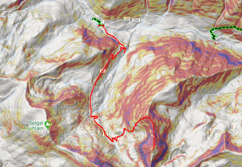
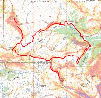
RT Length: 11.44 miles

Elevation Gain: 3236’

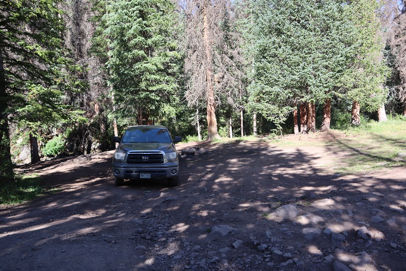
I decided to park off CR 20 just part MM 15 on the side of the road.  I could have camped at Golconda Mining Complex, but since I only needed a parking spot, not a campsite, I decided to park here.

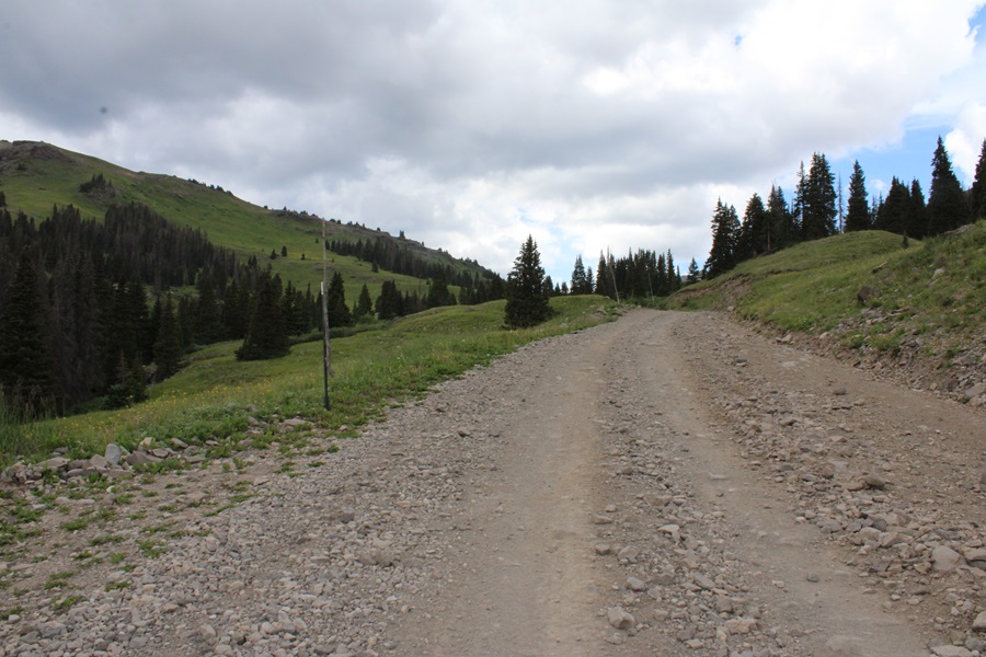
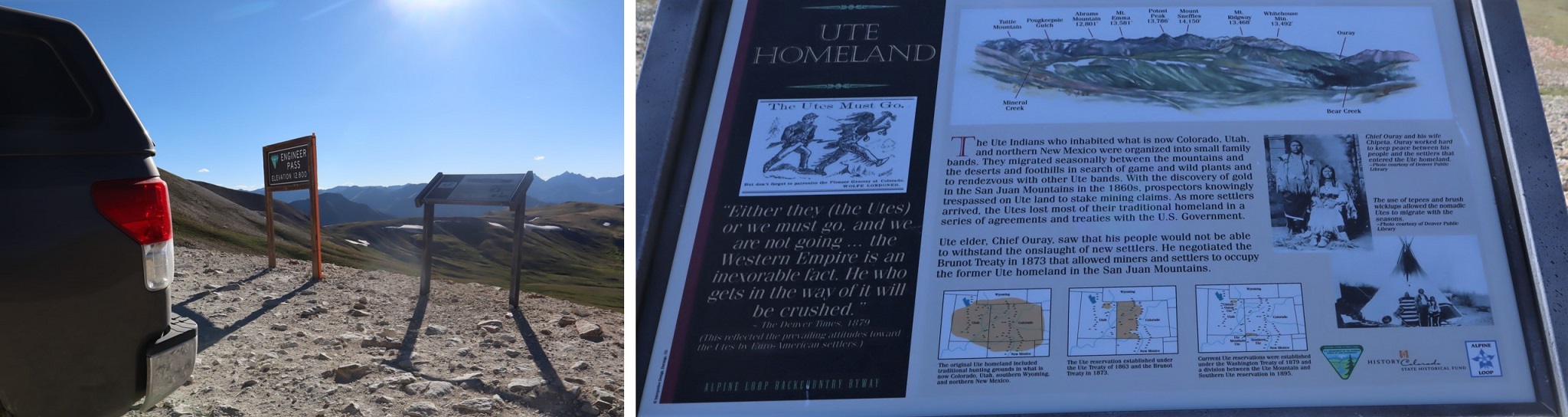
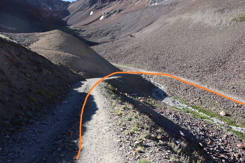
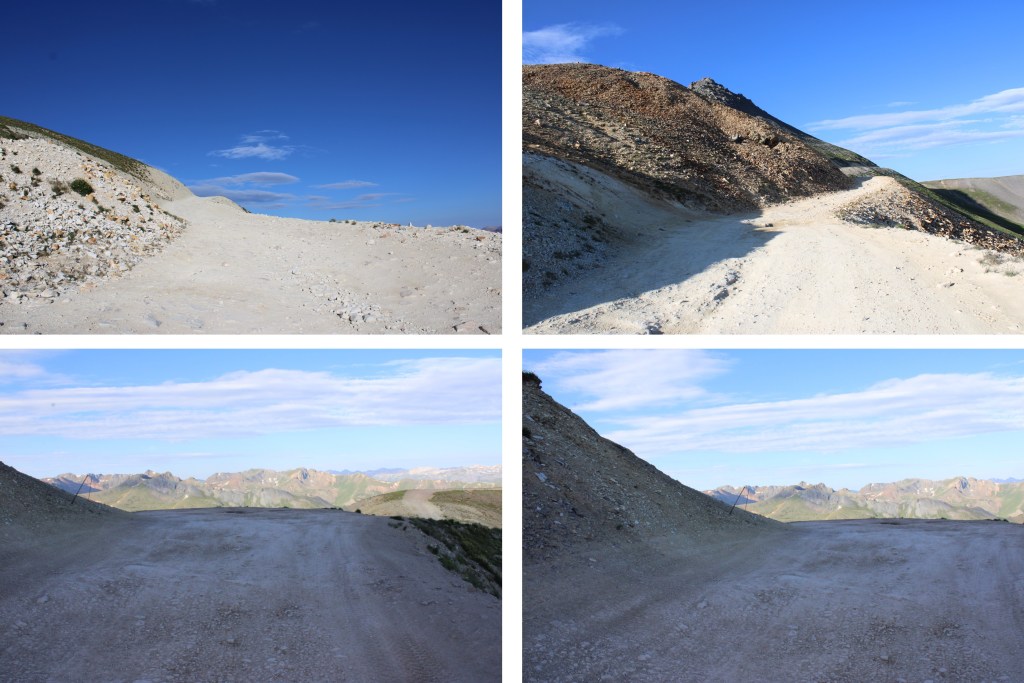
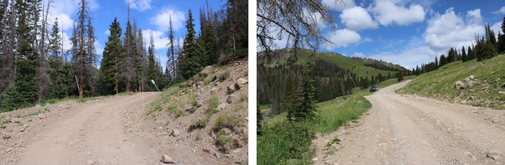
I was up and on the trail at 5:30am.  I began by following the road towards Engineer Pass.  This is a 4WD road, but easy to follow.  From my parking spot, it was about 2.75 miles to Engineer Pass. 

Just before reaching the pass, and just as the sun was rising, I came upon a herd of about 500 sheep.

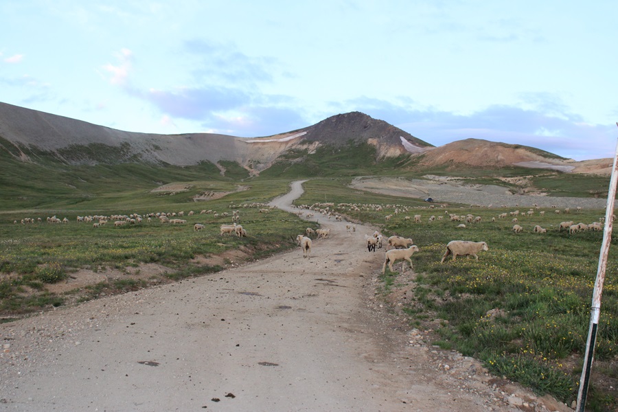
They all moved and baa’d as I hiked past them, towards Engineer Pass.

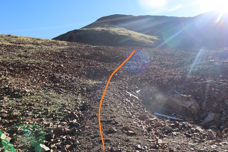
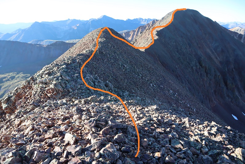
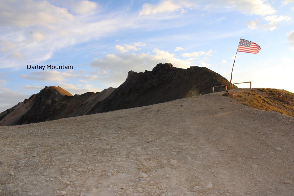
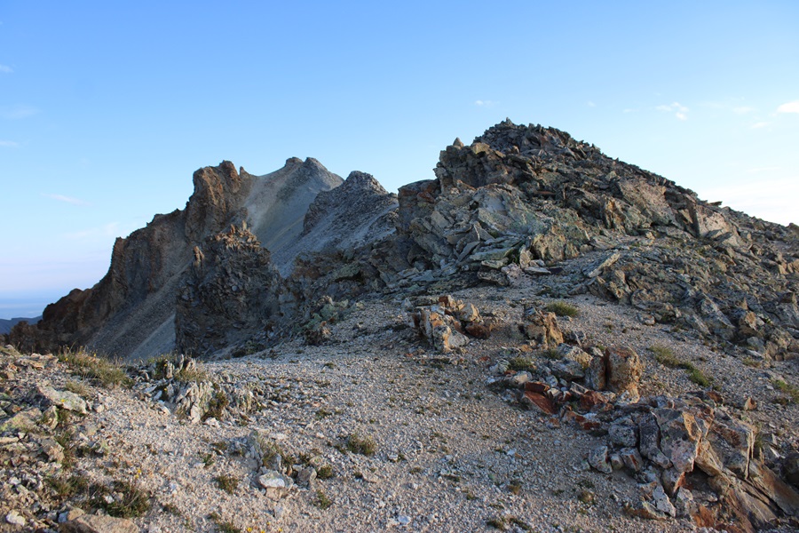
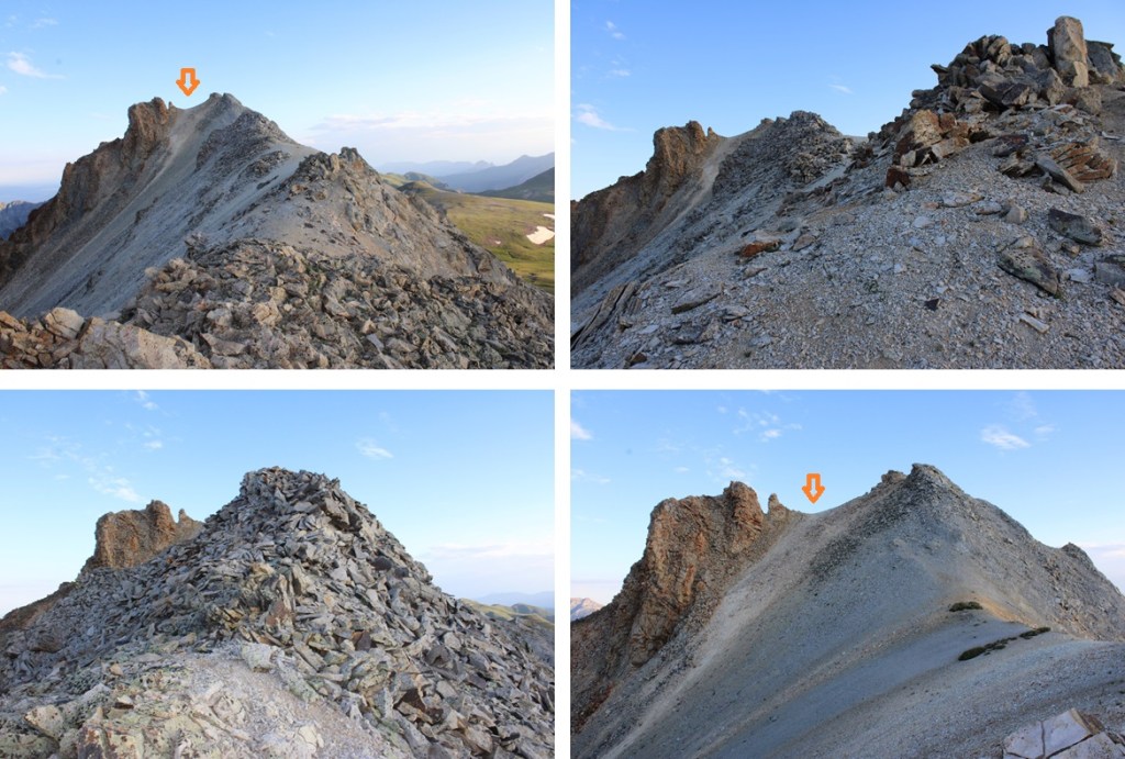
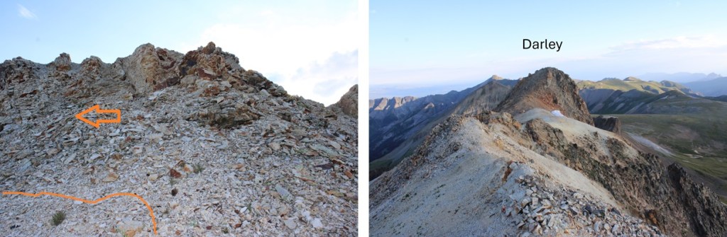
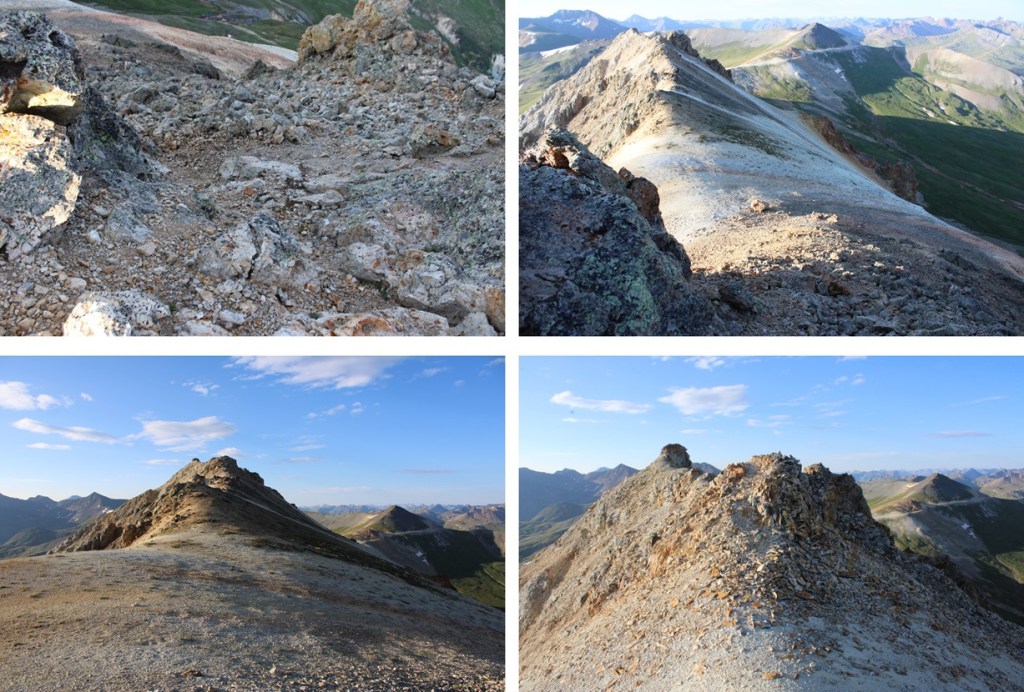
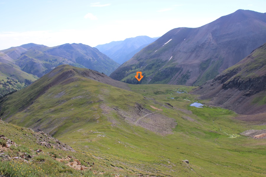
My first peak of the day was Darley Mountain.  From Engineer Pass, I turned right, and headed north along the ridge towards Darley.  This was all class 2, but full of loose scree and choss.  Oh, and several false summits.  I stuck to the ridge.  Here are some pictures of the ascent.

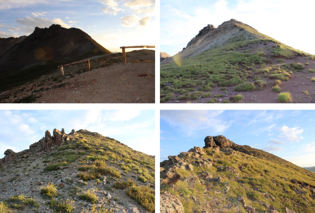
At the first false summit, I stuck to the right, following the ridge on game trails.  There were game trails all the way to the summit.

From here, you can see the next false summit. I continued following the ridge.

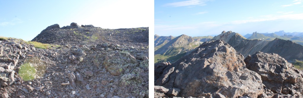
And now, the next false summit.  This was much the same as I’d encountered before, and I kept following the class 2 ridge.  This is probably the biggest false summit of the peak.

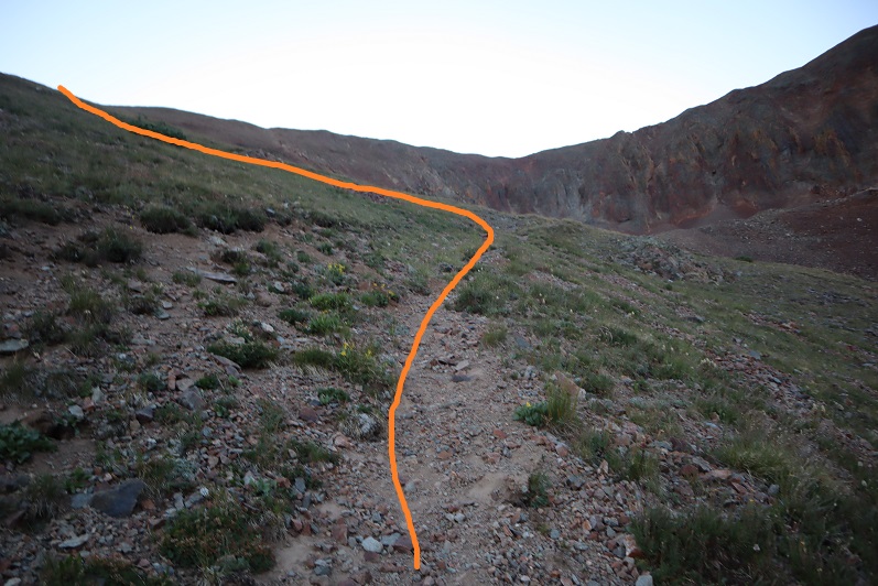
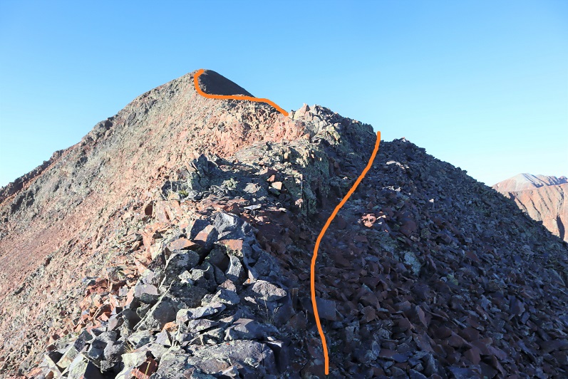
This is where it gets interesting.  This is all still class 2, but very loose scree and chossy.  Microspikes helped here, especially on the way down.  There are plenty of game trails to follow here.   Also, this isn’t quite the summit yet.  Here’s the route I took, following the ridge to get there.

You’re going to want to summit this blob, but it’s not the true summit. The true summit is to the left/northeast.  There are game trails here to follow as well, mostly sticking to the ridge direct, but a few go to the right, and are obvious. 

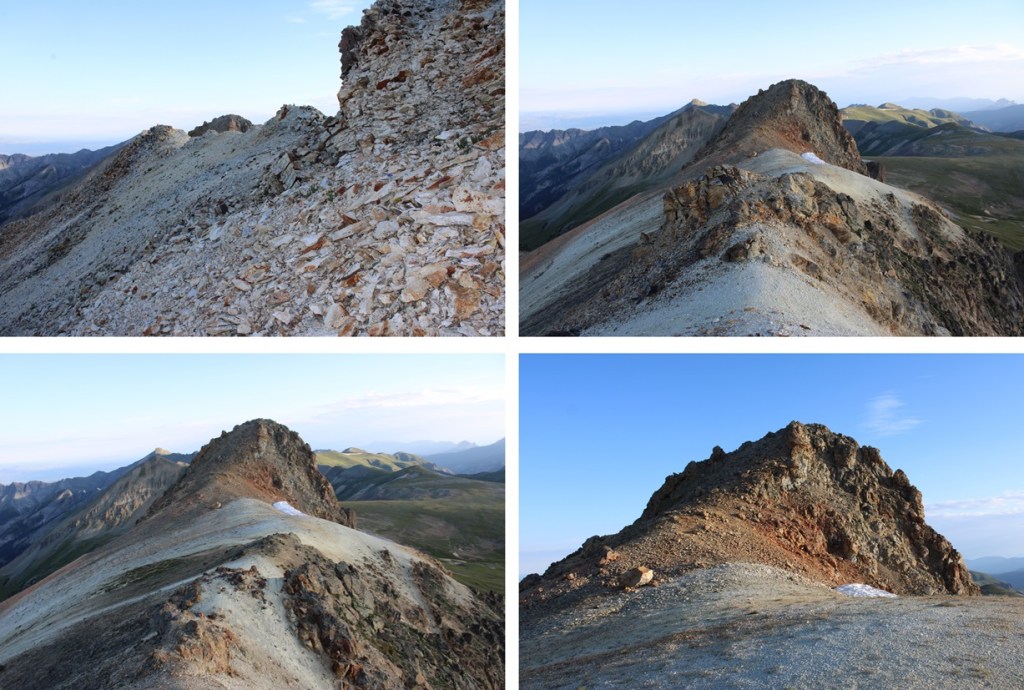
The last bit was rocky, but still class 2

I summited Darley Mountain at 7am

Darley Mountain:

I turned around, and headed back to the Darley/Engineer saddle, using the same route to descend as I had to ascend.

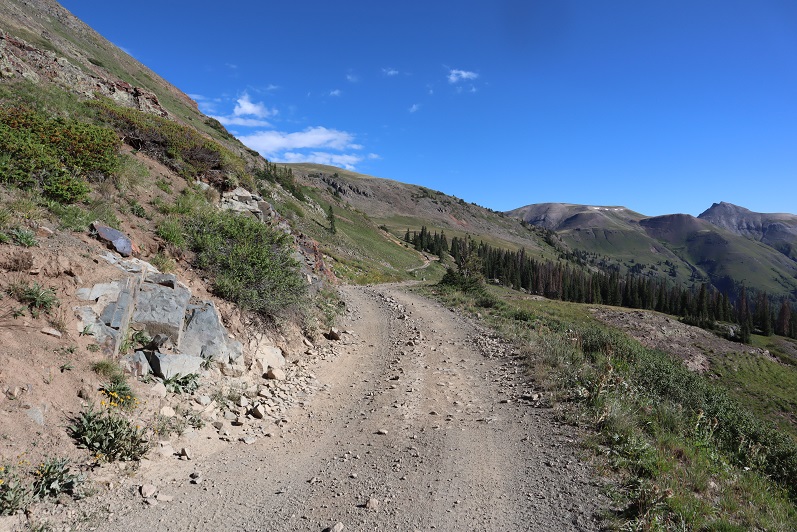
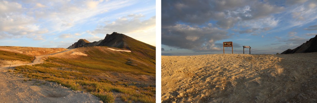
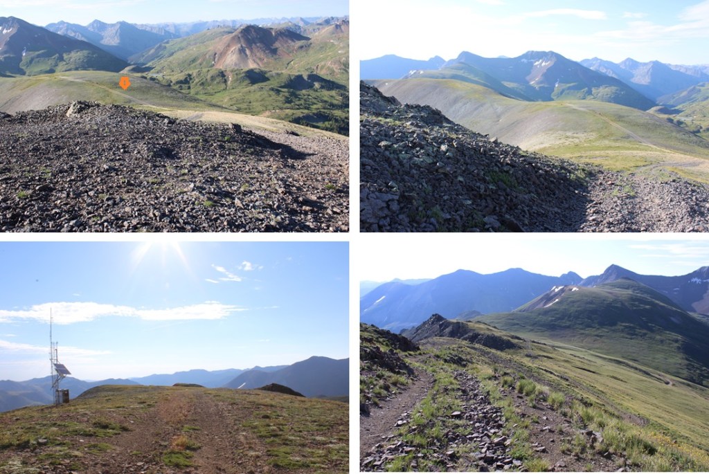
Safely back at Engineer Pass, now I wanted to summit Engineer Mountain.  I continued following the 4WD road southwest, as it continued to ascend in elevation to a junction.

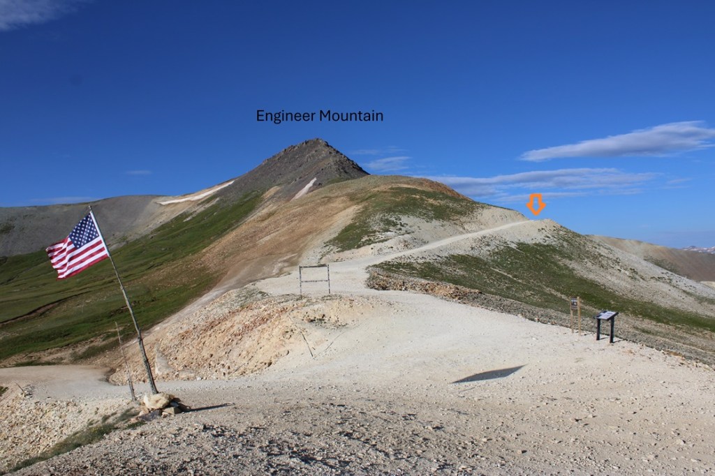
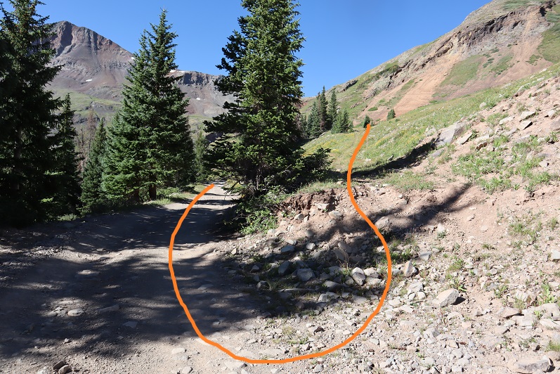
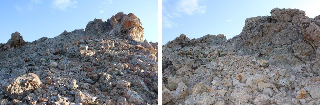
At 12970’ I turned left, and followed a very steep 4WD road (closed to 4WD vehicles) east towards the summit.  The summit has a class 2 boulder, no more than 5 feet wide.

I summited Engineer Mountain at 8am
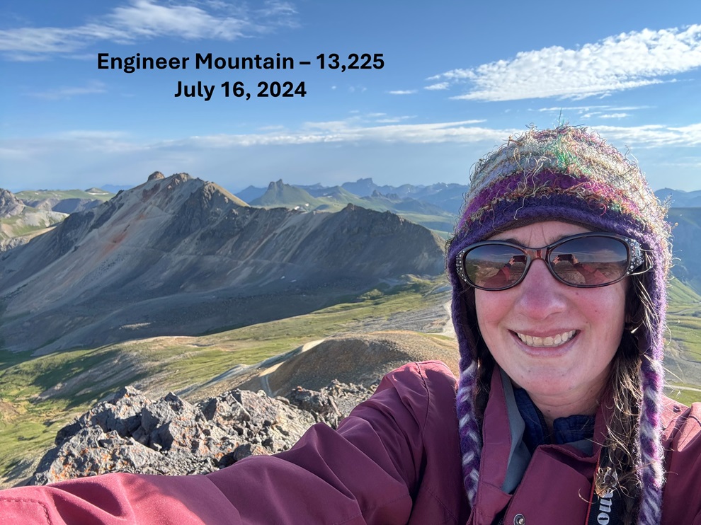
Engineer Mountain:

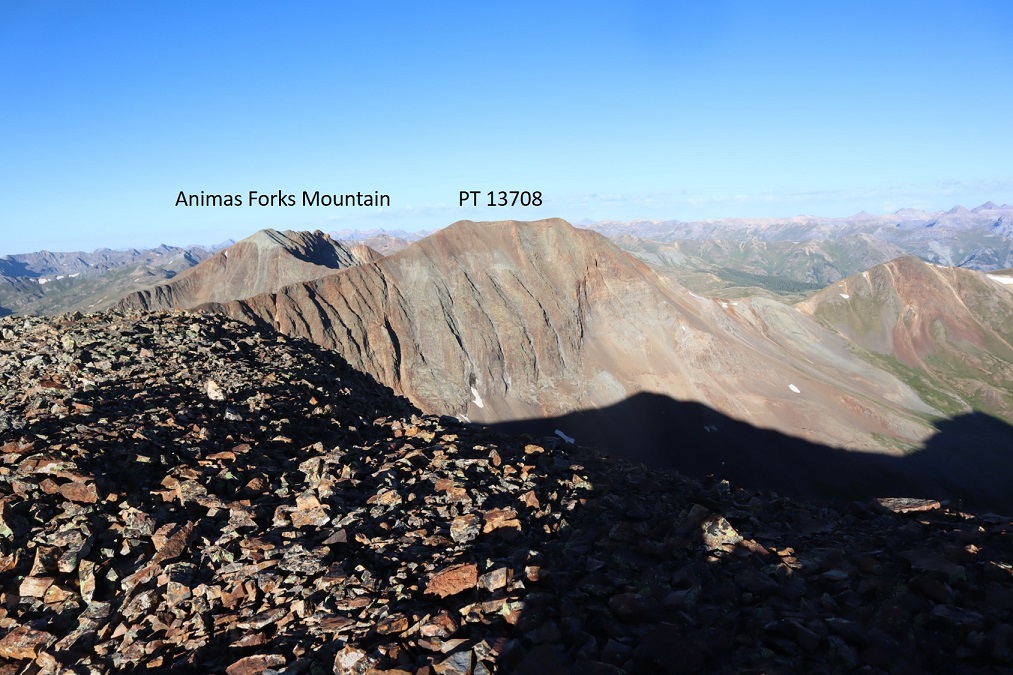
To the southeast is Seigal Mountain

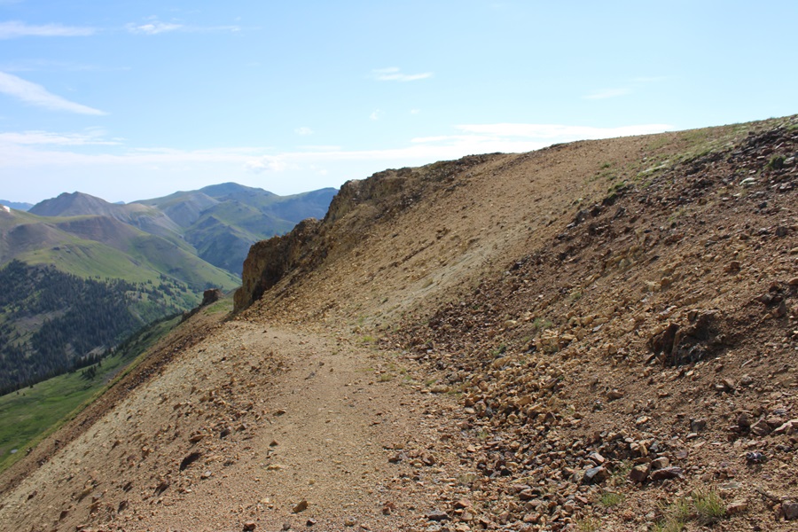
I could see a dirt road in the distance, and headed south to this road.  When on the road, I followed it east to the Engineer/Seigal saddle, descending about 460’ .

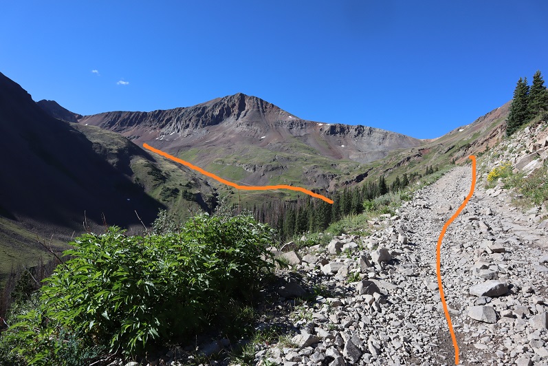
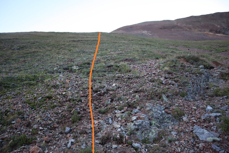
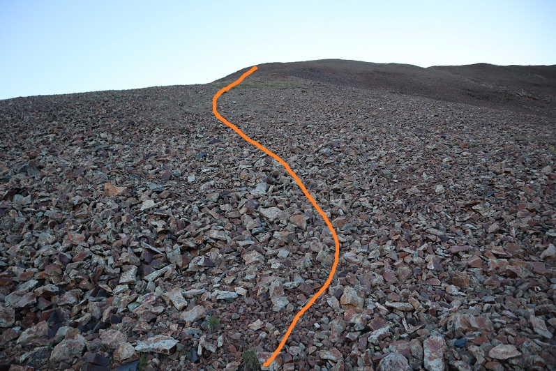
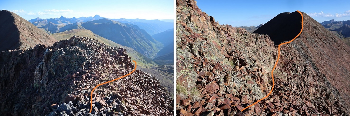
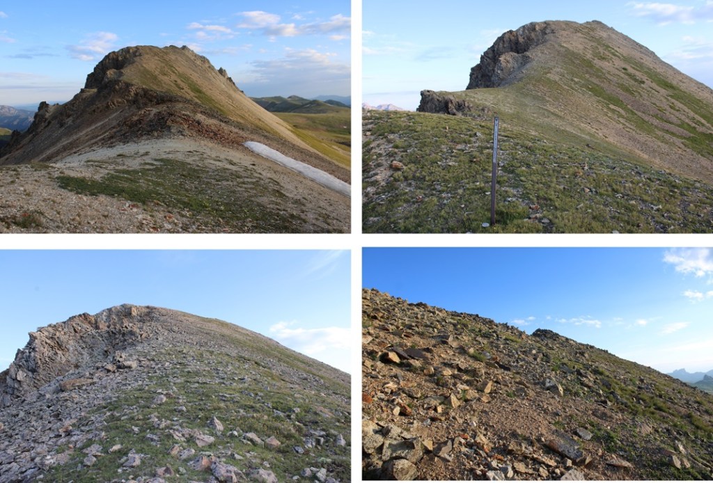
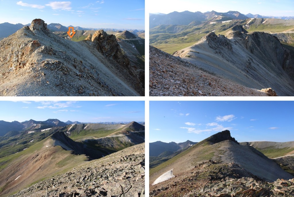
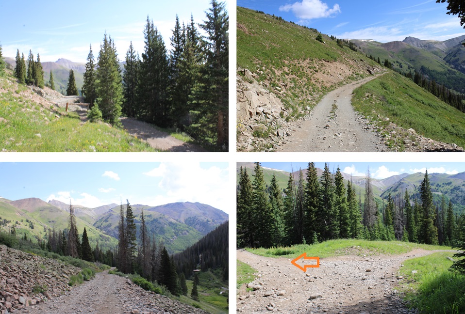
Once at the saddle, I followed the road southwest up the ridge, but eventually the road ended and a slight trail began that ended as well.  It was a class 2 tundra walk to the summit, fairly straightforward.  It got a bit rocky at the very end, still class two, with a tundra workaround to the right. Here are some pictures of the route to the summit of Seigal.

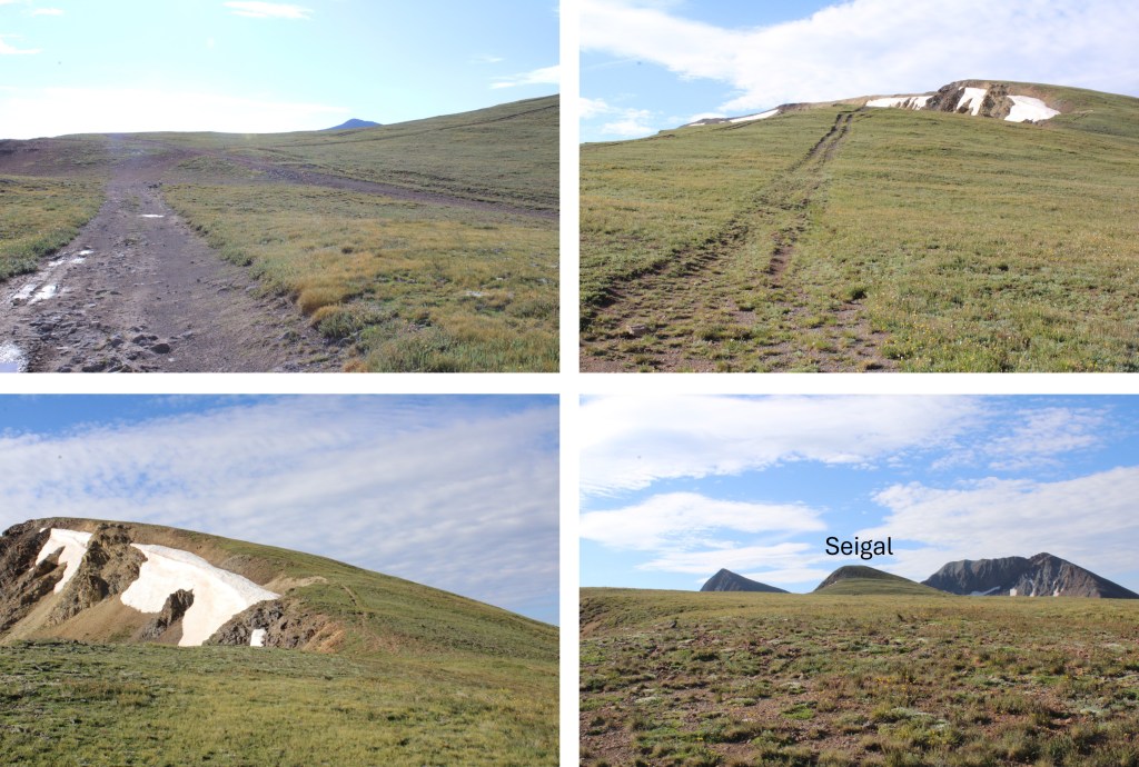
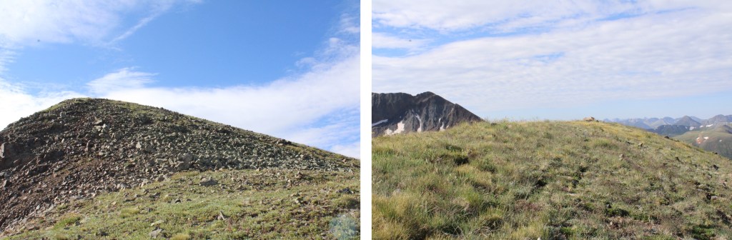
I summited Seigal Mountain at 9am
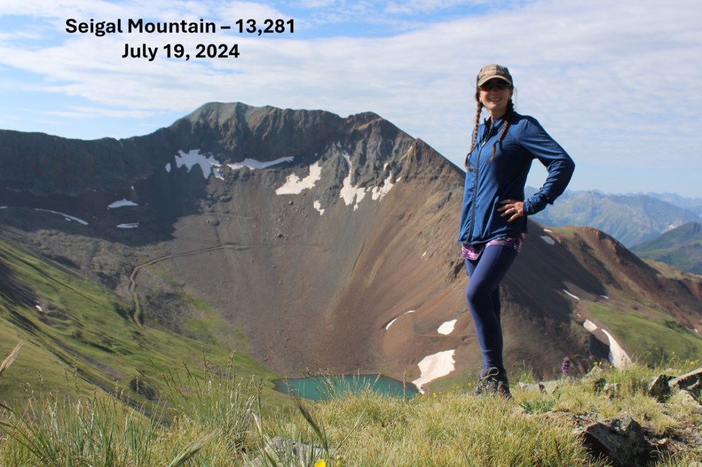
Seigal Mountain:

I was making this a kind of loop, so I headed back down to the Engineer/Seigal saddle.

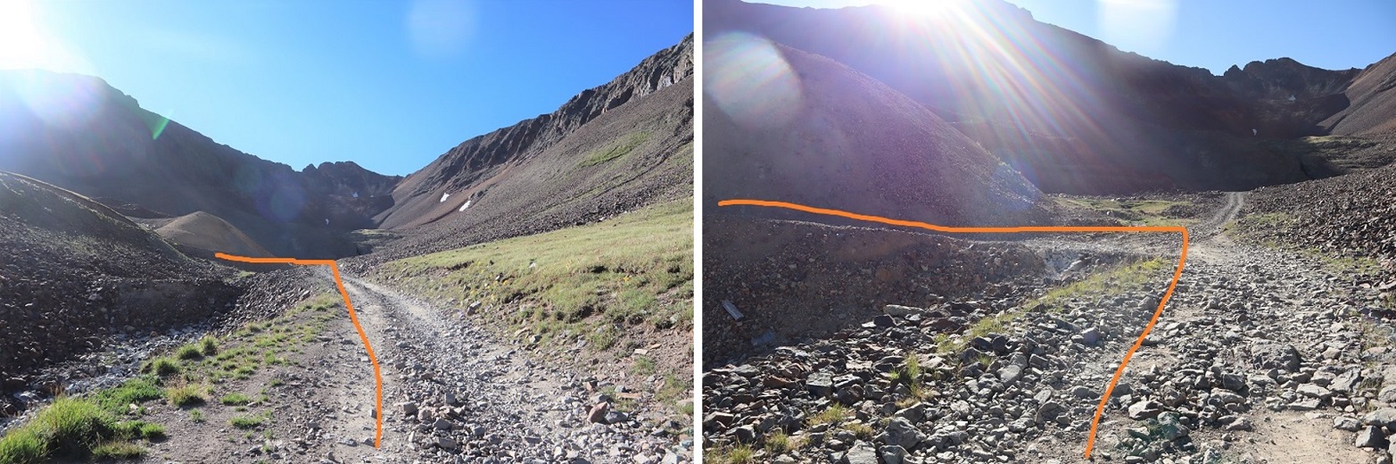
At the saddle, I headed a little further north, and found this road that topo maps said would lead me east towards Schafer Gulch.

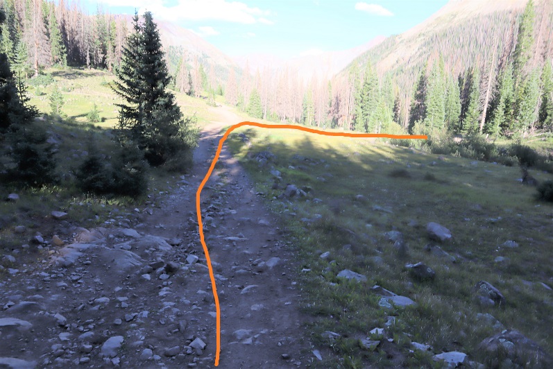
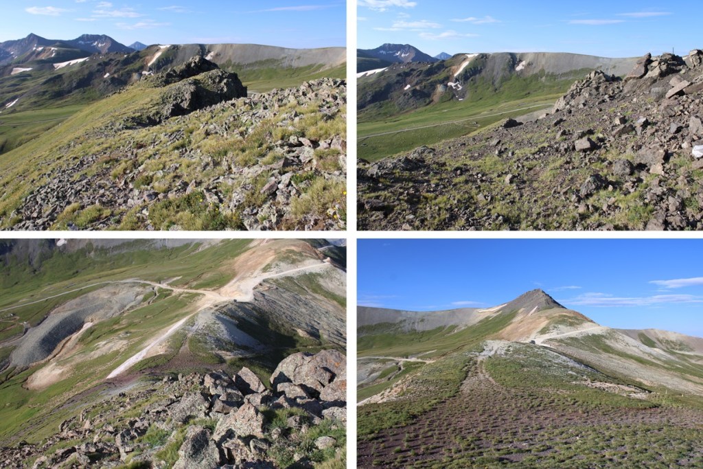
I followed this road, and yes, it led me in the correct direction, but what maps couldn’t tell me was this was an old mining road that hadn’t been used in years.  So many years much of the road was destroyed due to avalanches or rockslides and due to the road being “closed” to vehicles, much of the road is now grass and flowers.  However, enough of the road was intact for me to figure my way down.  I headed east, following the road when I could, heading towards the obvious 4WD road in the distance paralleling Schafer Gulch when I couldn’t.

If you lose the road, you can just head east on the tundra until you reach the 4WD road.  It’s steep, but it doesn’t cliff out here.

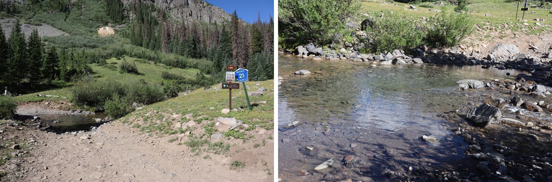
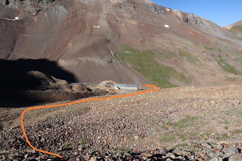
I was now on a solid 4WD road, and followed it north back towards CR 20, turning left at a junction where right went to someone’s dwelling.

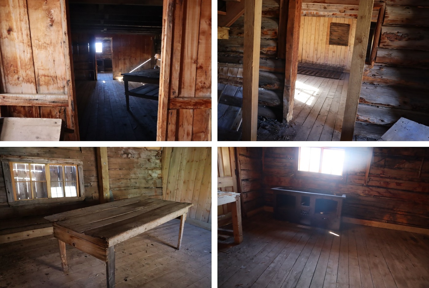
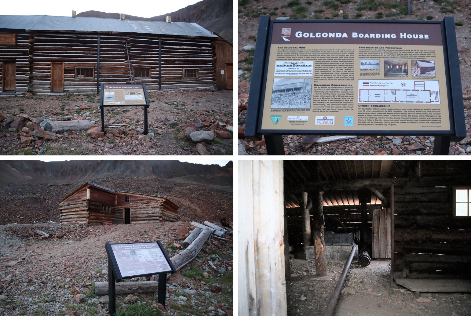
I crossed Henson Creek, and followed the road through Golconda Mining Complex back to CR 20

Then followed CR 20 northwest towards my truck.

I made it back to my parking spot at 10:30am, making this a 11.44 mile hike with 3236’ of elevation gain in 5 hours

On to the next trailhead!

Gravel Mountain – 13,577 & PT 13702


RT Length:  8.66 miles

Elevation Gain: 3042’


I left Cinnamon Pass after hiking some bicentennials in the area, intent on driving to the Henson Creek Trailhead that leads up to Hurricane Basin.  I put together a gpx file on CalTopo which had me taking Road 5 to 2, which is the road that goes over Engineer Pass.  However, I wasn’t going to take the pass, I was going to take another road that cut down to 21.  I was all excited about this until I drove to the cutoff.  At the cutoff all that was there was a sign that said no going off road.  Also, the road ended.  Hmmm.  OK, so there was no road here (or at least, not anymore) so I turned around and drove over Engineer Pass to the trailhead.

I have a stock Tundra, and it handled Engineer Pass just fine. I did see a couple in an OHV, a man in his 40s driving and his wife white as a ghost sitting next to him, clutching her purse as if it were a life vest.  She was scared beyond belief, he was having the time if his life…lol!   Luckily, since it was after 5pm there weren’t too many other drivers on the road, so I didn’t have to pass too many people.  In fact, I didn’t see another vehicle once I went over the pass.

2

That being said, I wouldn’t recommend driving over Engineer Pass to get to this trailhead:  Instead from Lake City take 20 to 21.

I found a nice dispersed campsite near an old cabin.

3

4

I walked around for a bit but honestly didn’t stay up long:  it had been a long day and I was beat.  I ate dinner on my tailgate and had a rather brave chipmunk and Canada Jay beg for food from me.  It looked like they’d been conditioned for this behavior.  Around 3am I heard what sounded like a wrapper being manipulated by a small rodent.  I figured it was the chipmunk from last night fooling around.  I thumped on the side of my truck a few times and it left, only to come back again a few minutes later.

I was finally on the trail at 5am.  From my campsite I walked down CO Rd 21

5

I crossed Hensen Creek and changed out of my sandals and into my hiking boots.  (I walked the area the night before and figured since it was a short distance to the creek I’d start off in my sandals and change after the creek to save time).

6

I followed the 4WD road for a very short distance and came to a fork in the road.  I went left first, thinking I was supposed to follow the creek, but I ended up coming to private property with ‘no trespassing’ signs.  In fact, I should have gone right and followed the road (this is counter-intuitive, but the road actually winds up the mountain).

7

After backtracking I followed the 4WD road for 2.75 miles, all the way to Hurricane Basin.

8

Note:  my truck could have made it all the way to the mine, but I would have run into trouble if I’d needed to pass someone. There are only 2 passing points on this road, one at the first switchback, and one just before leaving the trees (which also happens to be a campsite, pictured below).  If you choose to drive this road note other drivers coming up/down, and realize if they’re already on the road you need to let them drive the entire way before proceeding, as there’s no place to pass.

9

Just before making it to Hurricane Basin the road forked and I took a left

10

And followed the road all the way to the Golconda Mine.  This area is pretty cool, and if you have some extra time I’d suggest you check it out. The mine was refurbished in 2014 but already needs more work, as nature is insane, especially above treeline.  The doors open, and you can see some of the original items inside.  There’s a blacksmiths’ hut as well, and a lot of leftover ‘trash’ from over a hundred years ago.

11

12

13

The trail to the summit starts behind the Golconda Boarding House.  Well, there’s no defined trail, but that’s the way to start your trek up the mountain.  Here’s an overview of the route:

14

The route starts out in mining rubble

15

And then changes to tundra.  There’s a brief trail here you can pick up and follow for a bit before heading northwest up the mountain

16

After the tundra came the rubble.  There were faint game trails that went up the rubble. On my way down I pushed in steps into the rubble and scree to make more of a defined trail.

17

18

I summited unranked Gravel Mountain at 7:10am.

Gravel Mountain:

From here PT 13688 is an easy ridge hike away

19

The route is obvious and easy class 2.  Here are some highlights:

20

It’ll be obvious when you take the trail left

21

And a little right

22

I summited PT 13688 at 7:35am

23

PT 13688:

I had great views of the peaks I hiked yesterday

24

Time to head back

25

26

On the way down I did my best to establish a trail in the scree/rubble

27

28

Once at the mine I just followed the road back to my campsite

29

30

On the way down I was able to see the ‘road’ I’d intended on driving down to the trailhead.  It didn’t look like it’d been used in decades.  So, long story short, take 20 from Lake City, and not Engineer Pass (unless you have an OHV).

31

I made it back to my truck at 9:30am, making this an 8.66 mile hike with 3042’ of elevation gain in 4.5 hours.

32

I got back to my truck, opened the back to shuffle things around, and found mice droppings lining the edge of my sleeping bag!  Ugh!  At that moment I realized 2 things:  1) it wasn’t the squirrel last night making noise, and 2) the moth balls don’t work.  Ugh.  So.  Not.  Cool.  A mouse had made its way into the bed of my truck and was looking around for food.  At least I didn’t have any food accessible.  I was a bit bummed though the hundreds of moth balls I had lining my truck hadn’t deterred a small mouse (and by the looks of the droppings it was a small mouse).

I had another day free to hike, but chose to drive home to spend it with my youngest instead (who was just accepted into her first college this week:  in less than a year she’ll be off to college, and I want to spend as much time with her as possible before she leaves).