RT Length: 6.04 miles
Elevation Gain: 2361’
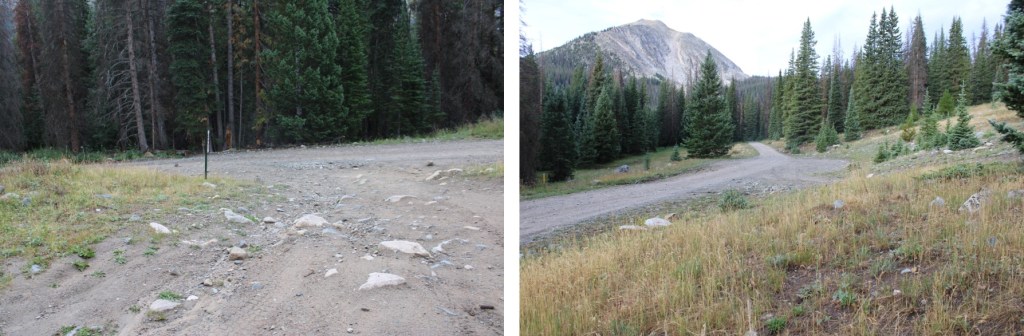
I’d parked about 6 miles past Cottonwood Lake, at the junction of 344/349. There are a few dispersed campsites in the area, and a few further up as well. I was up and on the trail at 4:45am, hoping this would be a quick hike because I had other things to do this afternoon.

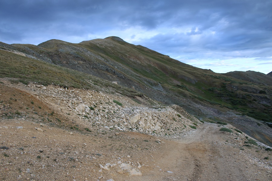
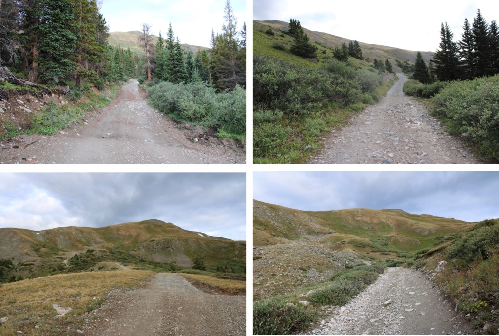
The trail starts by following 4WD road 349. It’s a narrow 4WD road, but if your vehicle made it this far, it can make it all the way to the top of the road

I followed the road for 2.3 miles, up to about 12,330’.

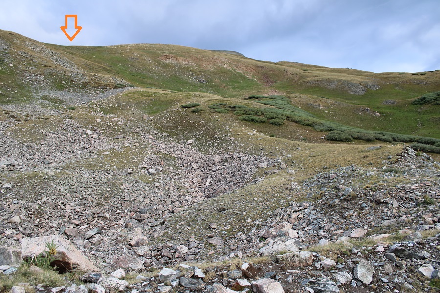
I didn’t know it at the time, as it was still dark, but I could have taken the road all the way up to the ridge, and then taken the ridge to the summit, which would have been easier. I’ll have pictures of that route on the way back down. Here’s where the road goes to:

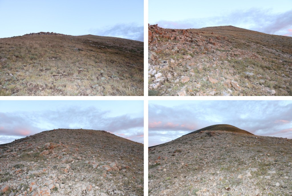
Anyway, I didn’t take the road up, instead, I decided to gain the ridge here
This route was very straightforward

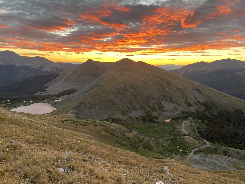
I also got to see a beautiful sunrise
From the I turned right and followed the ridge northeast. From the ridge it was a short .25 mile hike to the summit.

I summited Jones Mountain B at 6:30am
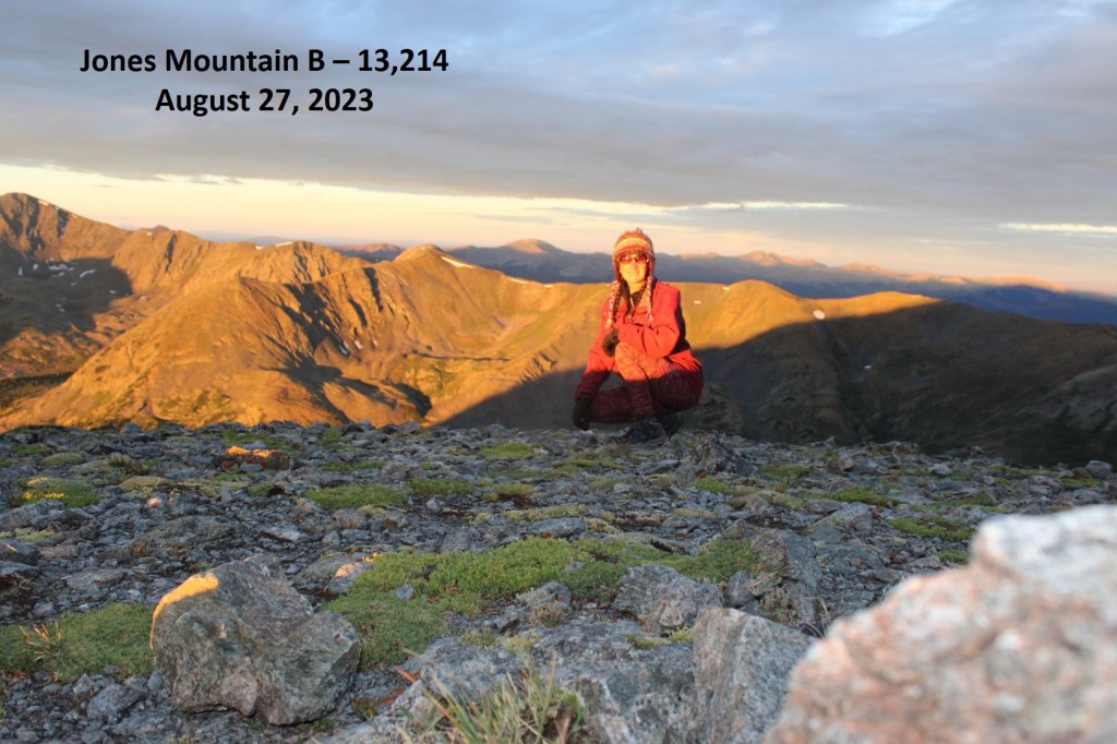
Jones Mountain B:
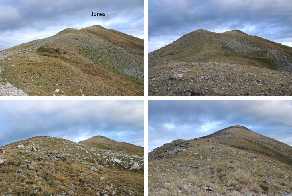
It was rather cold and windy on the summit, making it feel like fall. I turned around and, in the daylight, noticed the road I’d hiked in on went all the way to the ridge, so I followed the ridge southeast back to the road.


Some ptarmigans overlooking Ptarmigan Lake

Here’s the route up the ridge from where the ridge meets the road
Back on road 349, I followed it all the way back down to road 344


I made it back to my truck at 7:45am, making this a 6.04 mile hike with 2361’ of elevation gain in 3 hours.

Now it’s time to head back home to harvest a couple hundred apples from the tree in my backyard before the thunderstorms hit for the day.
