Mays Peak – 8238 and Kineo Mountain – 9500 from Bear Creek

RT Length: 14.36 miles

Elevation Gain: 3659

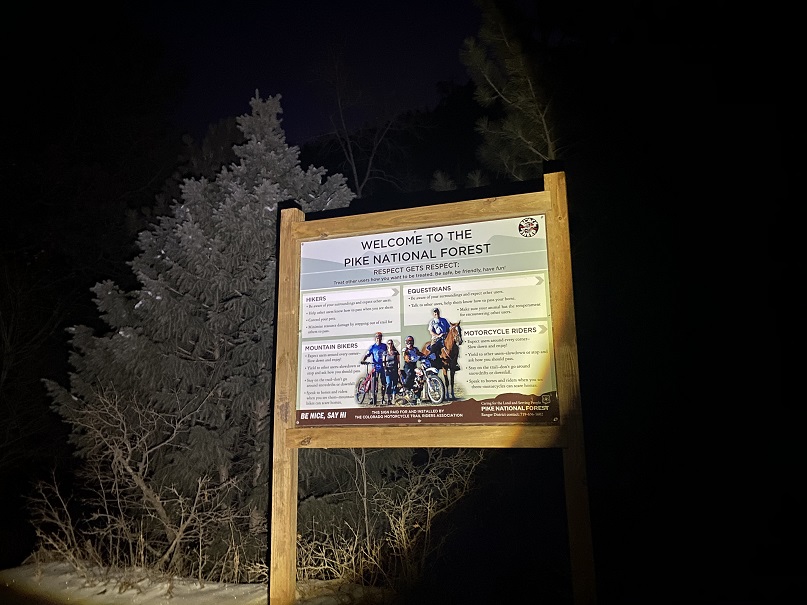
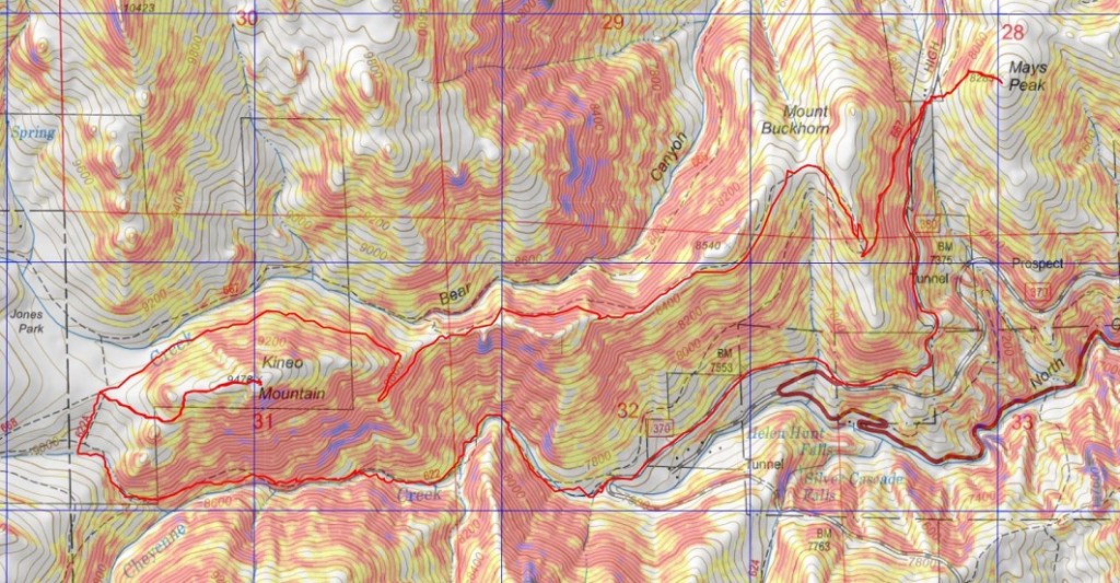
I’ve hiked Mays Peak and Kineo Mountain several times, but always through North Cheyenne Canyon.  They’re currently working on the road to North Cheyenne Canyon, so I decided to hike these peaks via Bear Creek.  I’ve ever been to Bear Creek before, so I thought this would be fun.

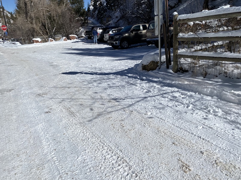
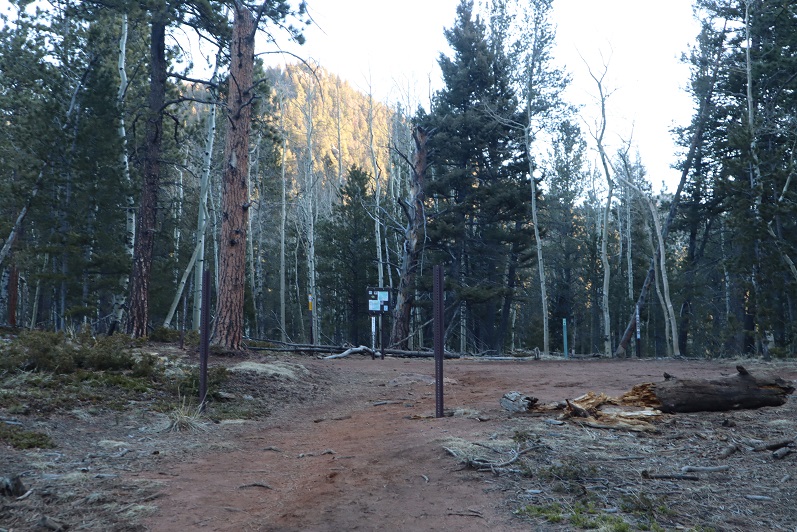
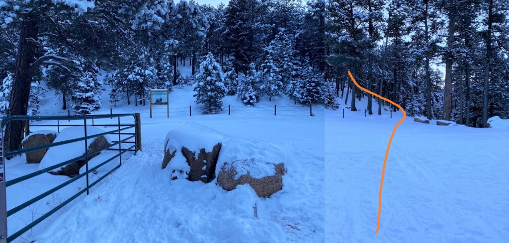
I parked at pull off 3 and was on the trail at 6:15am.

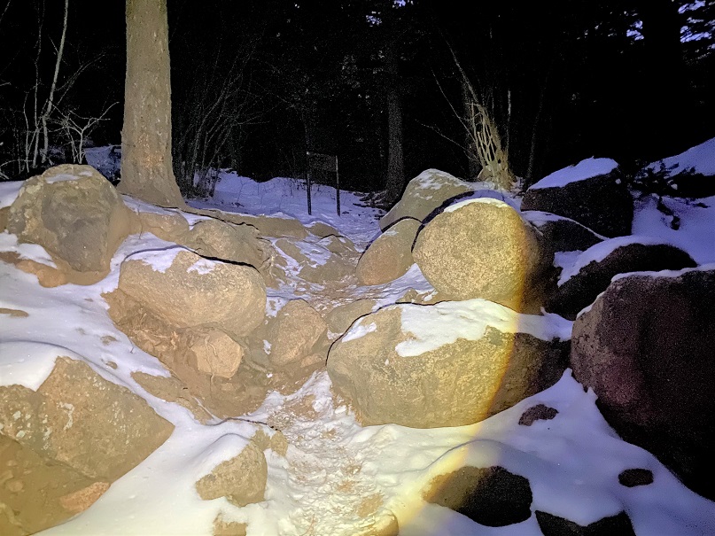
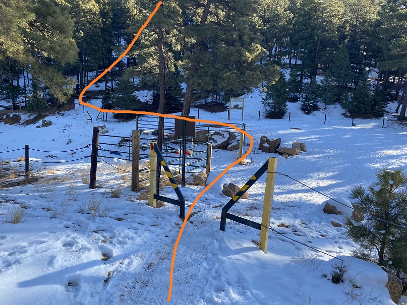
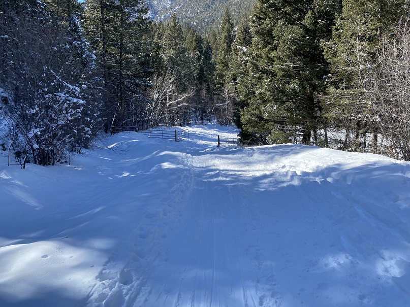
I passed through a gate and followed the road

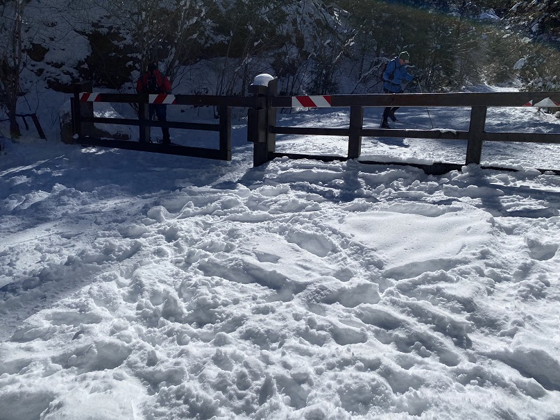
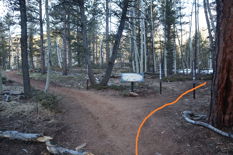
I came to a second gate, and continued on the road

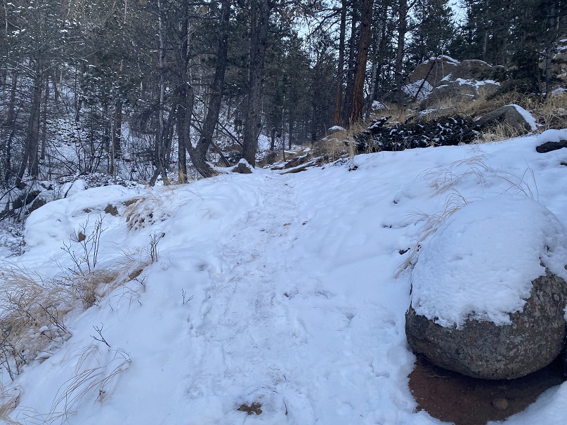
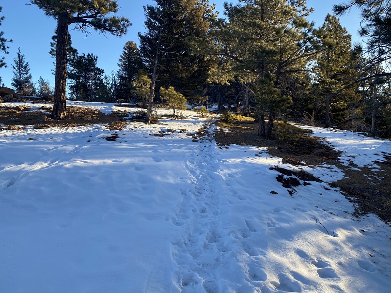
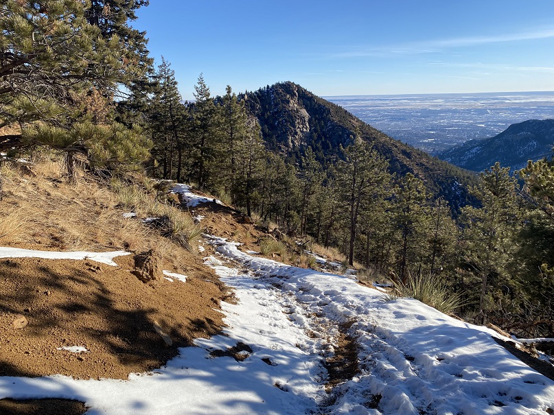
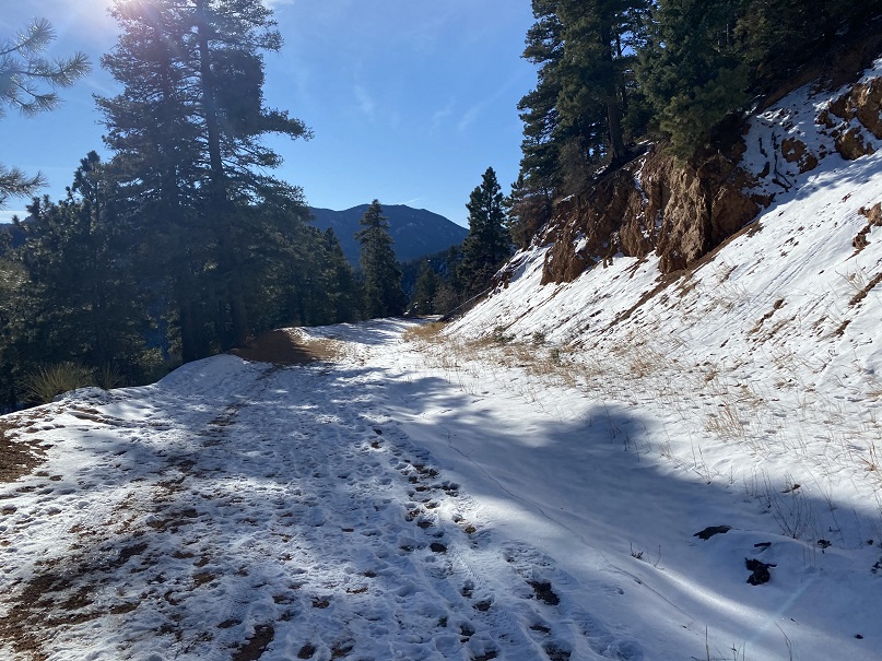
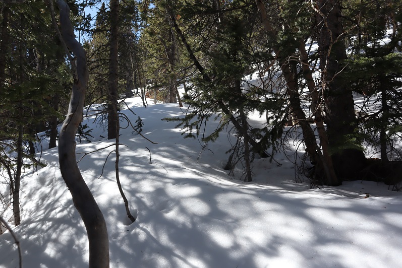
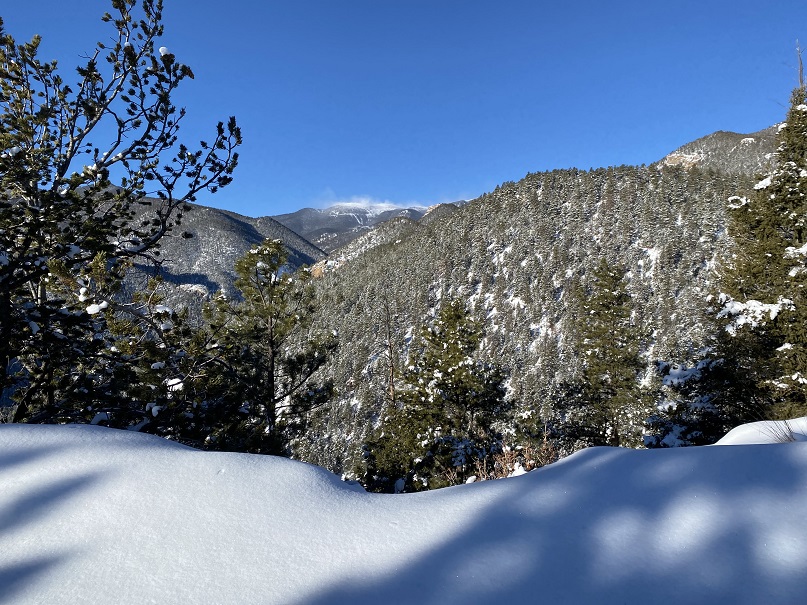
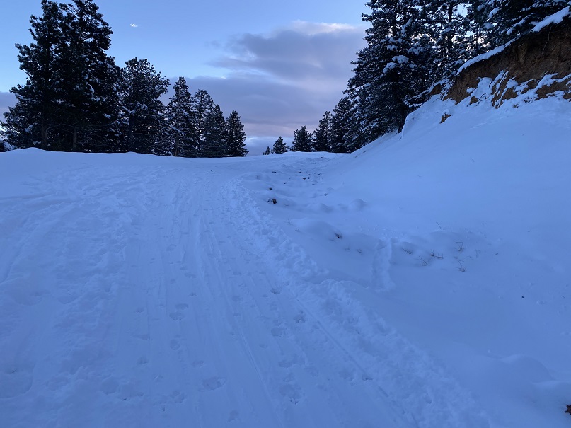
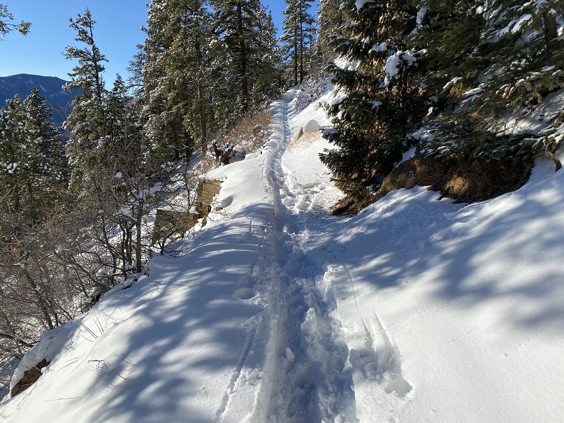
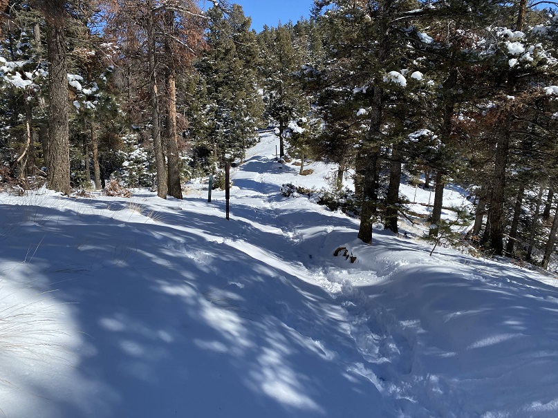
The trail follows High Drive, a dirt road, for 2.6 miles.  It had recently snowed, but it seemed yesterday several skiers packed it down after the snow had subsided.

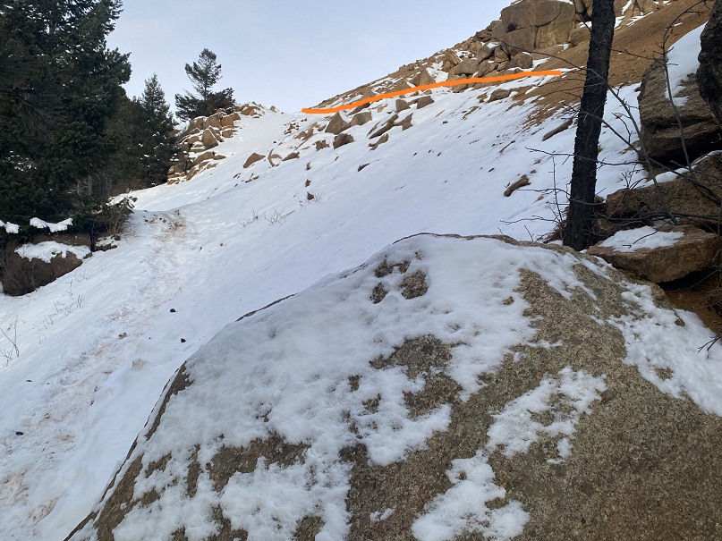
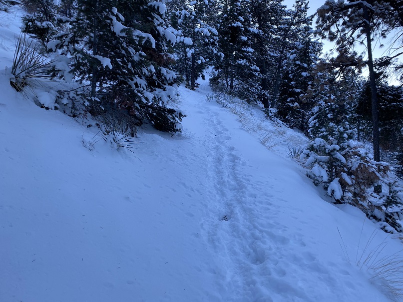
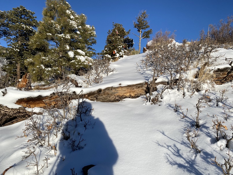
After hiking 2.6 miles I came to the saddle of Mays Peak and Mt Buckhorn (unranked).  Here I turned left and was pleasantly surprised to find a boot pack on the trail to Mays Peak

This trail didn’t go all the way to the summit, but instead wound around the mountain.   At the southernmost point I left the trail and made my own trail to the summit, heading north up the hillside.

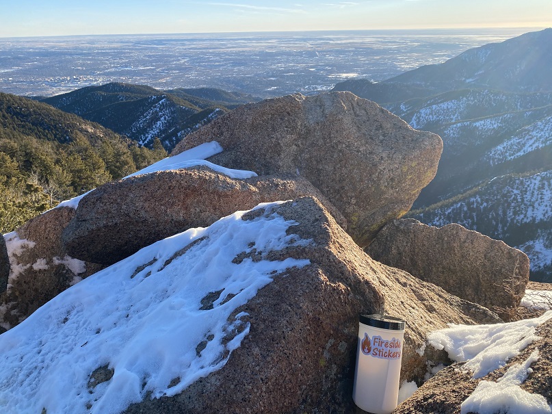
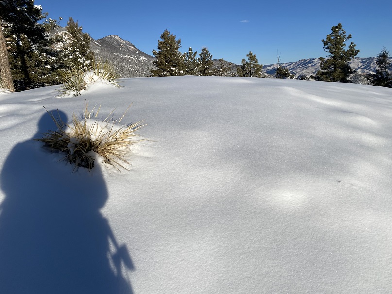
This is an easy summit, especially if you’ve summited before.  No one had been here since the recent snow, so there were no tracks on the summit.

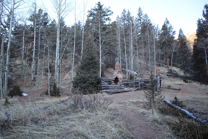
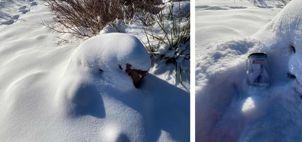
A few weeks ago I dropped a summit register off, so I went to go check on it.  It was buried under some snow; I took it out and placed it on a rock.  Still looking good!

The tree is still decorated for Christmas.  I wonder if it’ll be decorated all year long?

I followed my tracks back down to the trail, and to the Buckskin/Mays Saddle

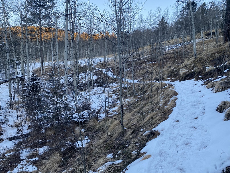
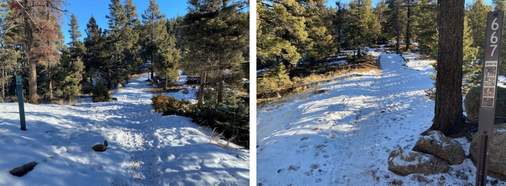
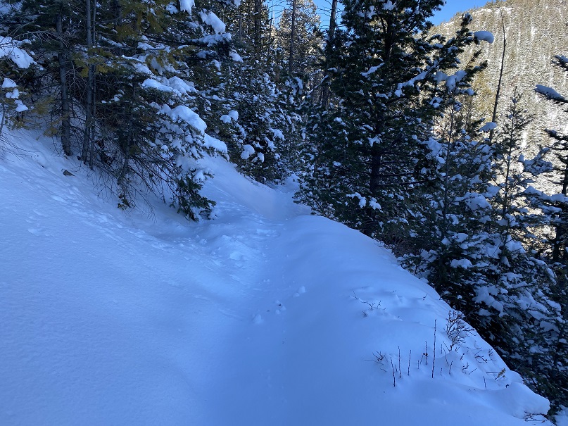
From the saddle I took Trail 667 southwest

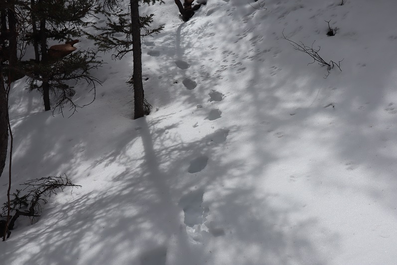
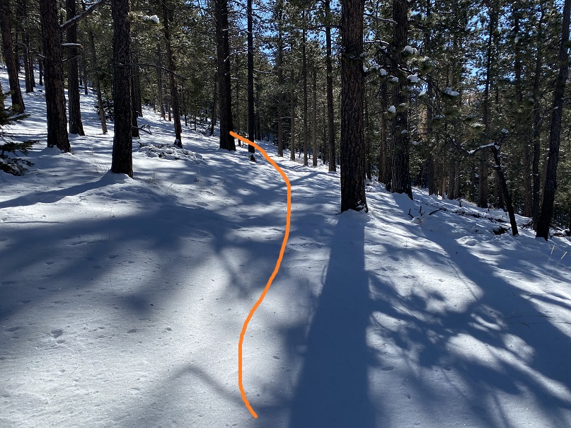
I was delighted to find this trail also had a boot pack

Well, at least it had tracks for a little while.  It seems the hiker ahead of me at some point got tired of trenching and turned around.  So I started trenching. 

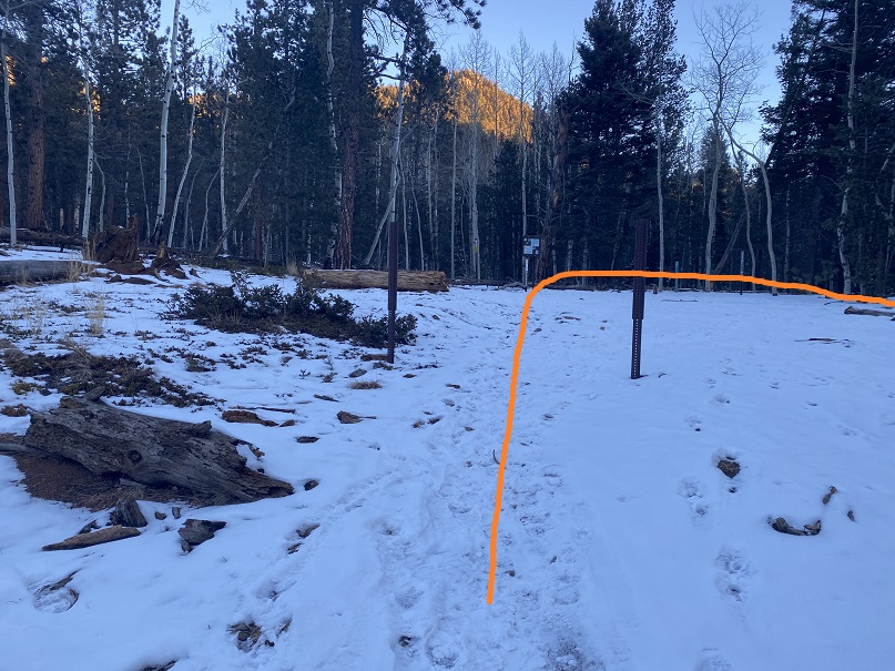
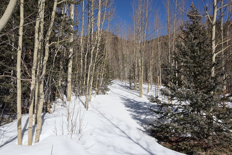
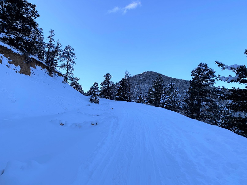
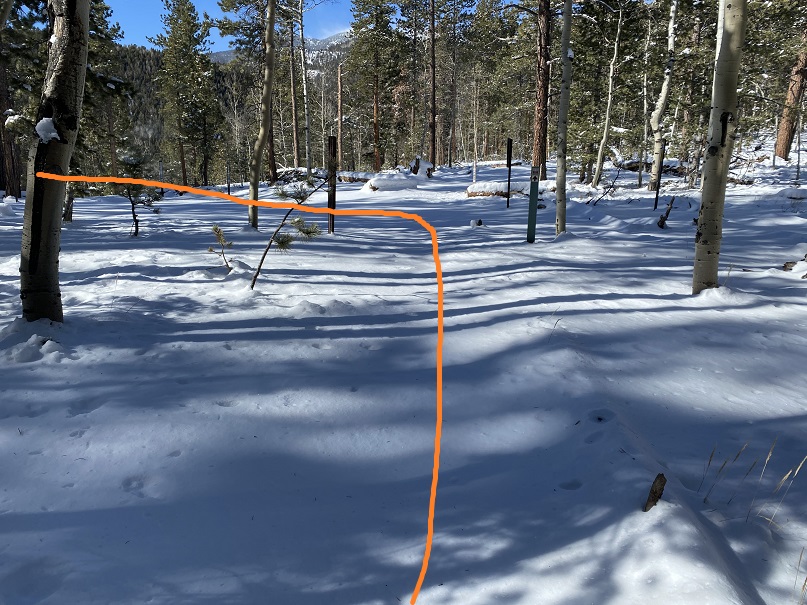
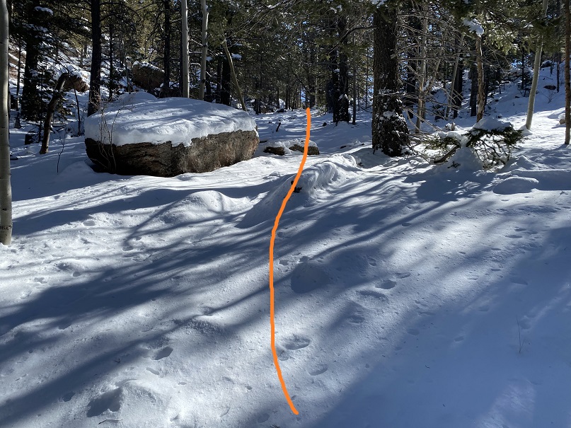
I followed/trenched Trail 667 for 3 miles, until I made it to the 668/622/667 Junction.  Here I turned left and headed east towards the summit of Kineo Mountain. 

Did I mention the wind? It was very windy all day, even though I was below treeline.  Since it had snowed recently, the wind blew all the snow off the trees.  This snow kept hitting me in the face.

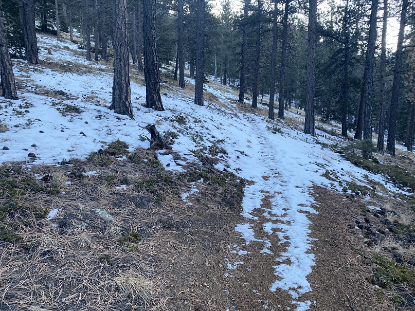
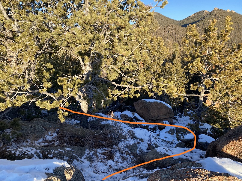
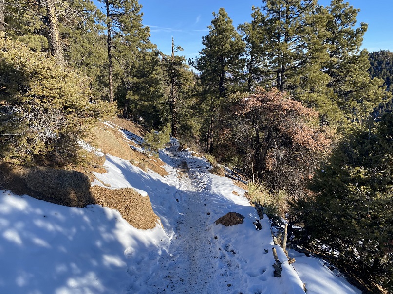
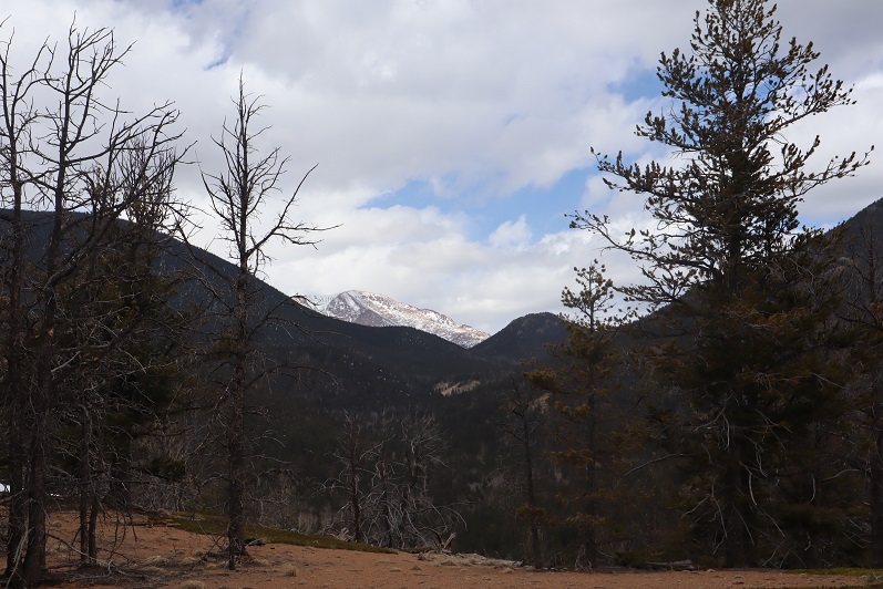
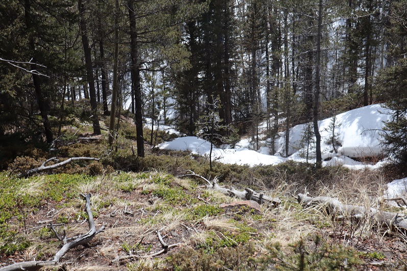
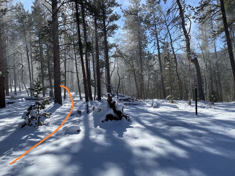
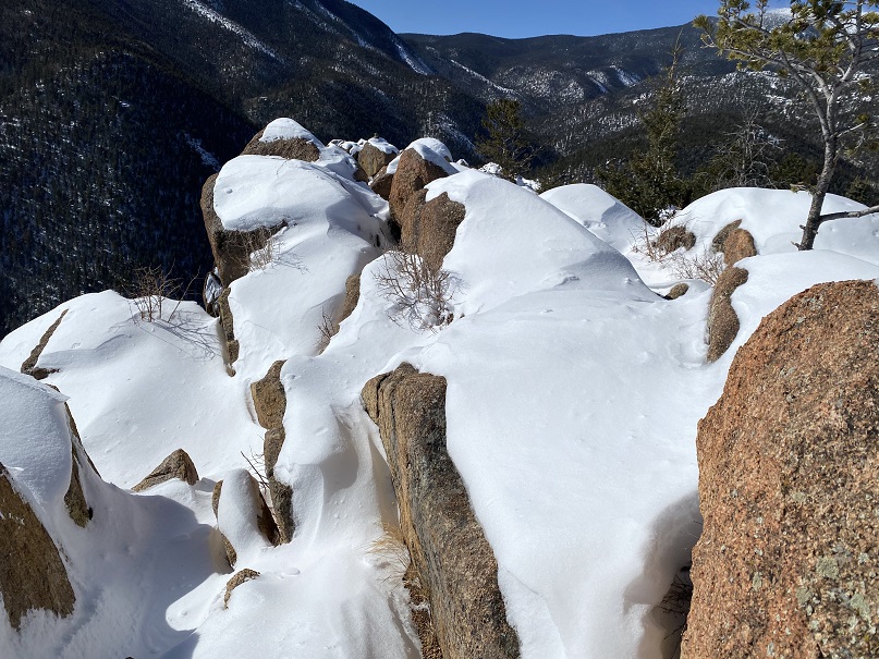
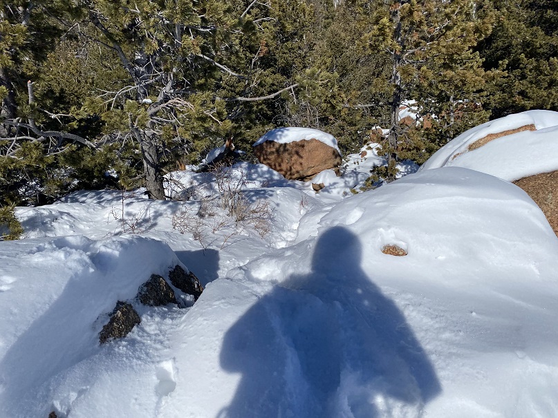
Here are some pictures of the way to the summit.  I just kept trekking east

I made it to the summit and looked for the summit register, but it was buried somewhere under all that snow and I was unable to locate it.

The trek back was much easier than the trek in, as I just followed my footprints back to the Mays/Buckskin saddle

It was still windy

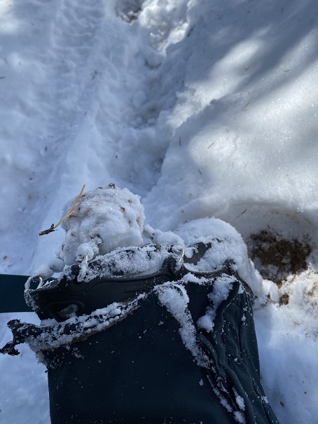
And it was warming up, so ice was getting stuck in my microspikes

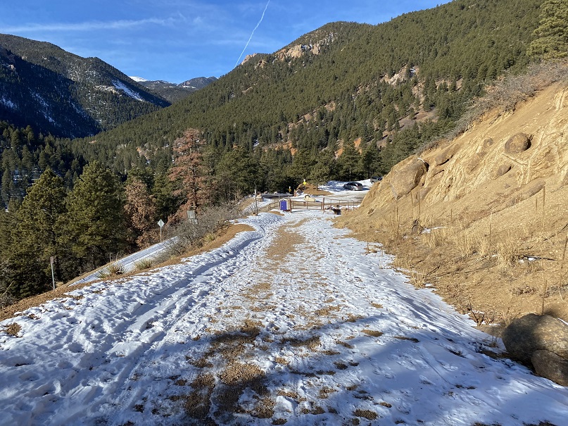
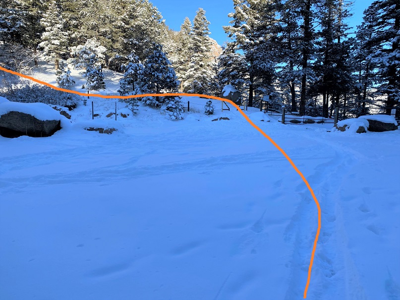
I made it back to the saddle and took the road back to the trailhead.  Here I saw more skiers hiking up the trail, a few dogs, and a man pulling a sled with a bunch of rocks in it so it would carry him down the mountain faster in his sled.  I pointed out to him there were probably rocks at the top.

I made it back to the trailhead at 12:30pm, making this a 14.36 mile hike with 3659’ of elevation gain in 5 hours, 45 minutes.

Kineo Mountain – 9500’ and Mays Peak – 8238’

RT Length:  9.15 miles

Elevation Gain: 2838’

Initially, I’d planned on hiking Mt Massive this morning, but after seeing the predicted wind speeds I turned around and slept another 3 hours before heading out to North Cheyenne Canyon.  I was the only one in the parking lot when I arrived, so I got to choose my space.  I parked right in the middle, since I’d be making this hike a loop.

I put on my microspikes and wore them the entire way. I was on the trail at 6am, happy not to be lugging along my snowshoes for the first time this winter.  The trail starts at the west end of the parking area.   

I passed through the locked gate and noticed a sign that wasn’t here the last time I hiked here.  I was surprised the area was open to horses:  I’ve hiked here dozens of times and never encountered a horse.

I continued hiking along this road (370) for .8 miles, until I came to a bend in the road.  From here I took trail 622 west.

This is Seven Bridges Trail, and, you guessed it, it crosses 7 bridges.  The sun started to rise as I hiked, easily crossing each bridge.  The bridges are numbered.

After crossing the 7th bridge, I continued following 622

The trail follows the canyon west

When you come to the option of sticking high or low, stay high, even if footprints tell you otherwise.

After hiking for 2.5 miles the trail starts to head north.  This is one of my favorite parts of the hike, as it goes through an aspen grove

At the top of the aspen grove there’s a junction.  Here I left the trail and headed east to the summit of Kineo Mountain. 

The first time I did this hike there was no trail, but as the years have gone on it seems others have discovered this hidden gem and created a trail of sorts, so it’s easy to follow.  Here are some photos.  Just follow the ridge and keep heading east

The summit is at the top of an obvious, rocky area.  This is an easy scramble to the top

Here are some summit views

There wasn’t a summit register, so I left one and headed back the way I came, towards the junction

At the junction I turned right and followed Trail 667 east as it skirted the north side of Kineo Mountain

I followed 667 for 3.3 miles past the junction, staying on 667

Here I came to another junction with High Drive.  I crossed high drive and headed east up the west side of Mays Peak

There were a few game trails in the area, but by just heading east I was able to make the summit.  From the junction with High Drive it was bushwhacking of less than half a mile and 400’ of elevation gain.

Interestingly enough, I found a summit register under a tree, well before the summit. I’m sure this register is missed by most people.

Here’s the final bit to the summit

I placed a new, more obvious summit register before leaving the summit and heading back to High Drive.

Back on High Drive, I followed it south for about a mile back to the trailhead, making this a neat loop.

I made it back to the trailhead at 10am, making this a 9.15 mile hike with 2838’ elevation gain in 4 hours

Tuckaway Attempt and Mt Kineo

1

Note, my successful climb of Tuckaway can be found here.

This whole Coronavirus thing is crazy, and it’s driving me crazy. Half the states are closed to outdoor recreation, with the other half open. Our county is open for hikers (with restrictions to social distance), others in the state are closed (and there seems to be no consistency) so I chose to social distance close to home today, getting in 14 miles and 4300’ of elevation gain on a trail that hasn’t been used much, if at all this winter. I didn’t pass a single person all day.
My intent was to hike Tuckaway Mountain. It’s located off North Cheyenne Canyon well off the beaten path but at a popular trailhead. I arrived at the trailhead at 6am, the first vehicle in the lot. Right behind me was a car full of runners: they parked and immediately started running down the trail. I envied them their lack of gear.
I’ve explained this hike several times so I’ll just paraphrase: I took the Seven Falls Trail (622) to the junction with 677 and then 622A to Loud’s Cabin. This part of the trail was snow free but I wore microspikes because there was ice in areas.

2

3

4

5

6
Once at Loud’s Cabin the trail ended, but it wasn’t supposed to. I ended up backtracking a bit and finally finding a trail! The only problem? They obviously didn’t want anyone using this trail.

7
Hmmmm. In the past few years they’ve done a lot of re-routing trails here. This must be one of the ones they closed off. I knew which direction I was supposed to go, so I decided to leave the old trail and bushwhack my way towards another trail I was sure would be ahead of me.

After crossing a stream

8
I just aimed west, keeping the snow filled gully to my left.

9
I hiked like this for about 2 miles, until guess what? I found a trail! It was obvious this trail hasn’t been used all winter.

10
I followed it north and held out as long as I could before putting snowshoes on

11

12
Just as soon as I put on the snowshoes, the snow stopped. I found myself at another gully, and this time followed it up to the saddle. This part reminded me a lot of Mt Garfield, and there wasn’t a trail.

13
Once at the small saddle I turned left (west) and once again donned my snowshoes.

14
After about 200 feet of snowshoeing I could tell I was very close to the summit, but unfortunately the snow became impassable in snowshoes (I could have done it in skis). Every step I took I sank up to my waist. The snow was just too sugary and warm for snowshoes to be effective. Maybe if I’d started earlier in the day the snow would have been more firm?

15
I turned around a couple hundred feet from the summit. This was my second attempt of this peak (I thought I’d summited the first time but was told the summit was actually 50 feet more to the north, so I wanted to go back and see for myself/hit the true summit). I wasn’t that upset about turning back because I was really proud of all the route finding I’d done. Also, I have a friend who wants to hike this mountain with me, so I knew I’d be back no matter what. Now I just have more accurate route information.
From here I could see my path back down the canyon. Yep, I now know these hills like the back of my hand. Who needs a map?

16
I made my way back down the gully to the trail, and followed my footsteps back

17
To where I’d written I the snow where I’d bushwhacked in from so I knew how to get back

18
Back down the mountain I went, keeping the snow to my right this time

19
I was thrilled when I made it back to Loud’s Cabin. This had been a great day! This is also where I got the idea to summit Mt Kineo, just to say I’d summited something today. I’ve summited Mt Kineo several times, and it isn’t a difficult summit. I didn’t need a map or directions to get there. I hiked back to the 677/622 Junction and left the trail to hike up the Kineo mountainside

20
At the false summit I had a pretty good view of Tuckaway Mountain (the mountain I’d attempted that morning). It didn’t look snow-filled, even though it had been.

21
There was actually more of a trail this time up the mountain than I’ve ever seen. The first time I hiked here there was no trail, but now it’s a clear path.

22
The views from Kineo don’t disappoint!

23

24
The hike back was uneventful. It was weird not seeing anyone on this part of the trail: the last 1.5 miles is usually teeming with people

25

26

27
I made it back to my truck and the lot was about halfway full. I was glad people were getting out and enjoying the sunshine while they can. The cool thing about our trails being open is they self-regulate. There are only so many parking spaces at the trailheads so only so many people can be allowed in.
Here’s a copy of my track

28