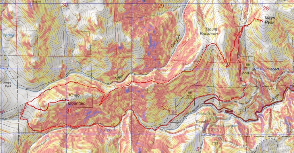
RT Length: 9.15 miles
Elevation Gain: 2838’
Initially, I’d planned on hiking Mt Massive this morning, but after seeing the predicted wind speeds I turned around and slept another 3 hours before heading out to North Cheyenne Canyon. I was the only one in the parking lot when I arrived, so I got to choose my space. I parked right in the middle, since I’d be making this hike a loop.
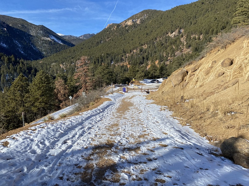
I put on my microspikes and wore them the entire way. I was on the trail at 6am, happy not to be lugging along my snowshoes for the first time this winter. The trail starts at the west end of the parking area.

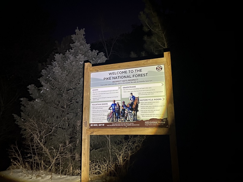
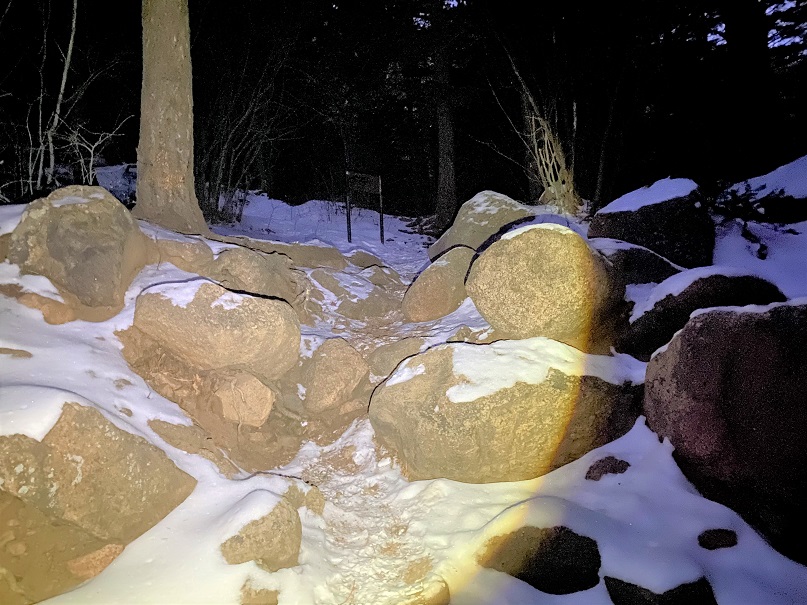
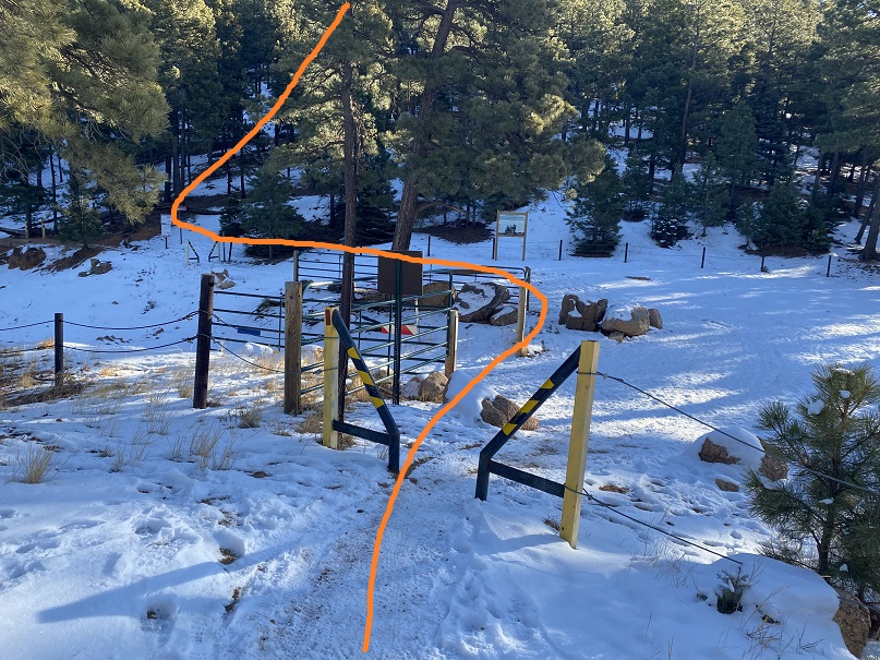
I passed through the locked gate and noticed a sign that wasn’t here the last time I hiked here. I was surprised the area was open to horses: I’ve hiked here dozens of times and never encountered a horse.
I continued hiking along this road (370) for .8 miles, until I came to a bend in the road. From here I took trail 622 west.

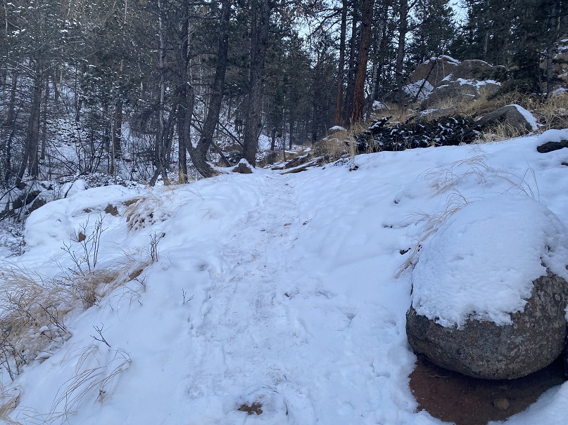
This is Seven Bridges Trail, and, you guessed it, it crosses 7 bridges. The sun started to rise as I hiked, easily crossing each bridge. The bridges are numbered.

After crossing the 7th bridge, I continued following 622

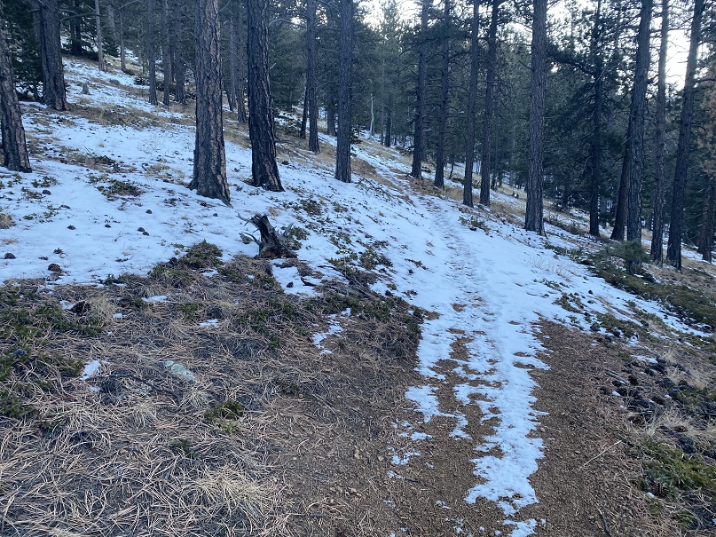
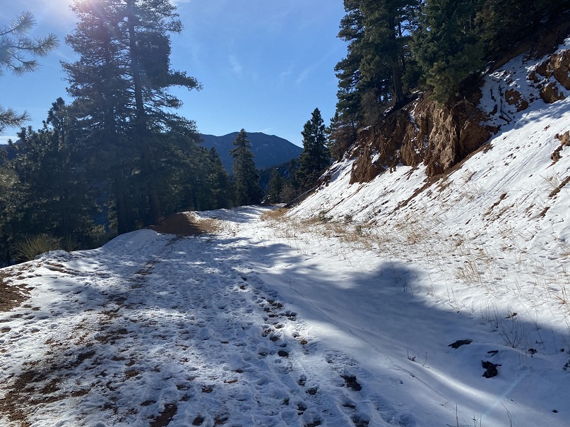
The trail follows the canyon west


When you come to the option of sticking high or low, stay high, even if footprints tell you otherwise.
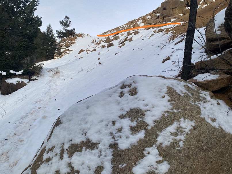

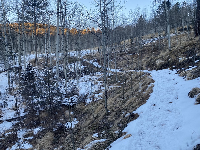
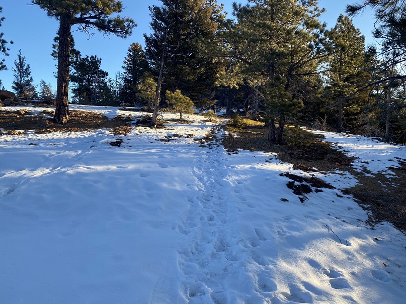
After hiking for 2.5 miles the trail starts to head north. This is one of my favorite parts of the hike, as it goes through an aspen grove

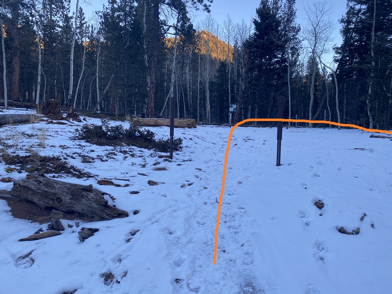
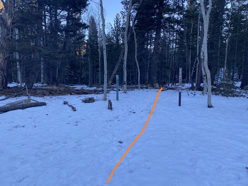
At the top of the aspen grove there’s a junction. Here I left the trail and headed east to the summit of Kineo Mountain.

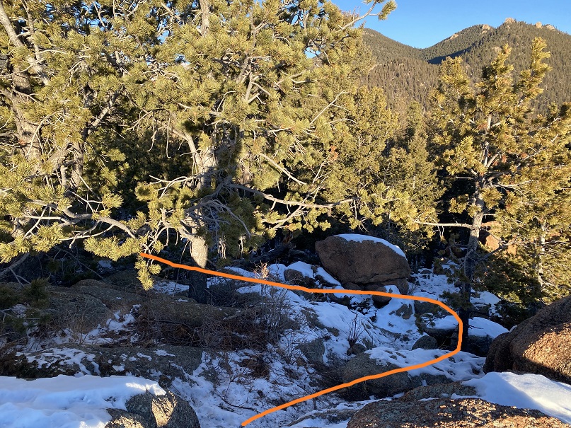
The first time I did this hike there was no trail, but as the years have gone on it seems others have discovered this hidden gem and created a trail of sorts, so it’s easy to follow. Here are some photos. Just follow the ridge and keep heading east

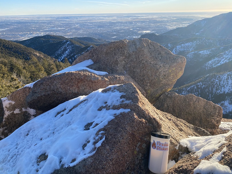
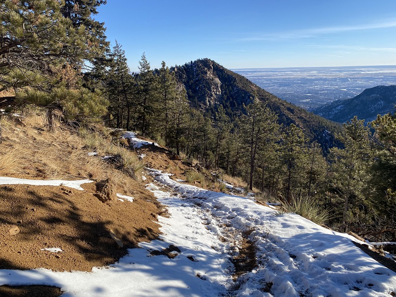
The summit is at the top of an obvious, rocky area. This is an easy scramble to the top

Here are some summit views

There wasn’t a summit register, so I left one and headed back the way I came, towards the junction

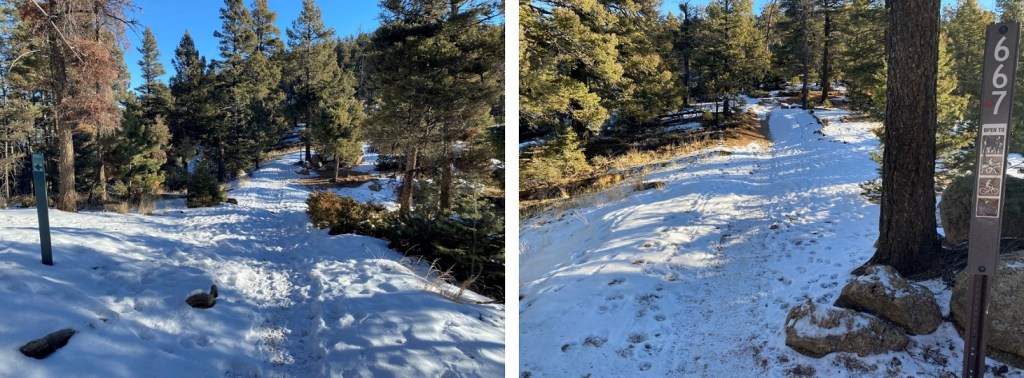
At the junction I turned right and followed Trail 667 east as it skirted the north side of Kineo Mountain

I followed 667 for 3.3 miles past the junction, staying on 667


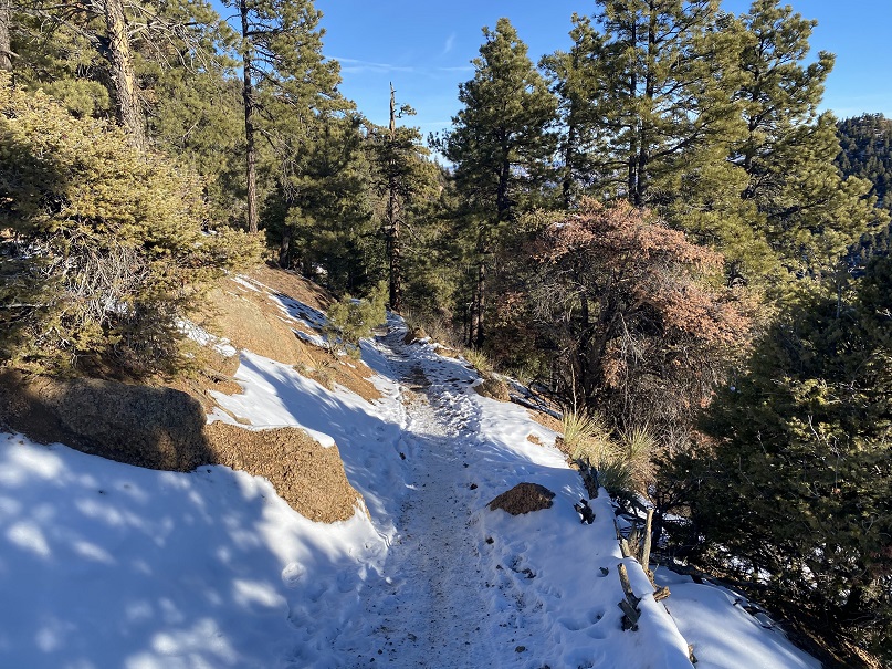
Here I came to another junction with High Drive. I crossed high drive and headed east up the west side of Mays Peak

There were a few game trails in the area, but by just heading east I was able to make the summit. From the junction with High Drive it was bushwhacking of less than half a mile and 400’ of elevation gain.


Interestingly enough, I found a summit register under a tree, well before the summit. I’m sure this register is missed by most people.

Here’s the final bit to the summit

I placed a new, more obvious summit register before leaving the summit and heading back to High Drive.


Back on High Drive, I followed it south for about a mile back to the trailhead, making this a neat loop.

I made it back to the trailhead at 10am, making this a 9.15 mile hike with 2838’ elevation gain in 4 hours