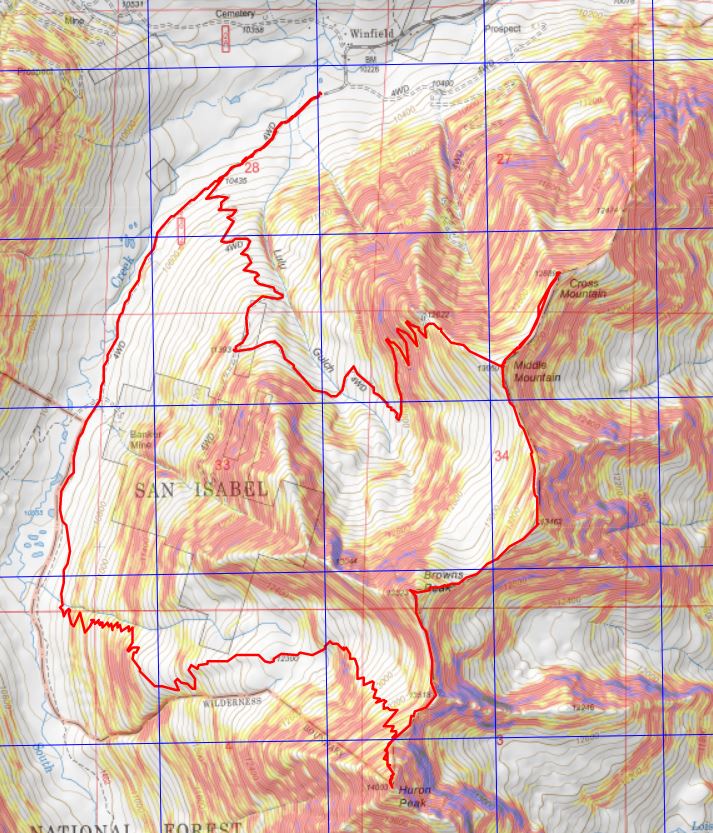
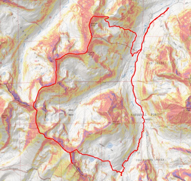
RT Length: 19.34 miles
Elevation Gain: 5574’
This entire hike was class 2, made spicy with the snow.
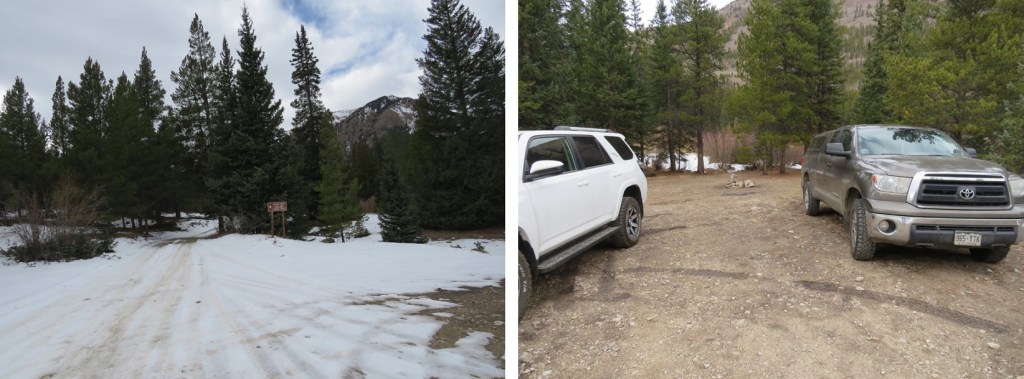
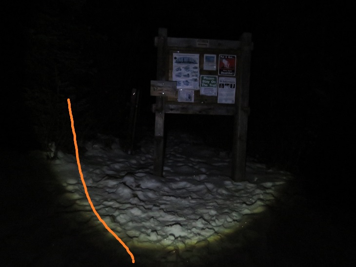
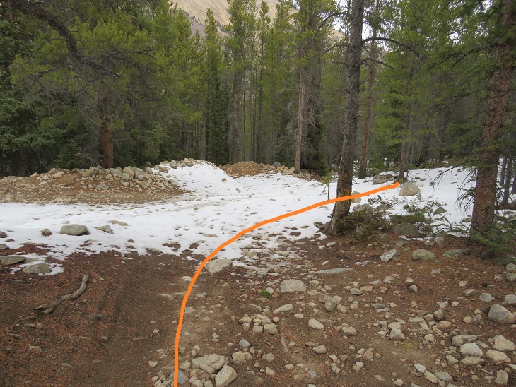
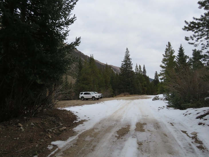
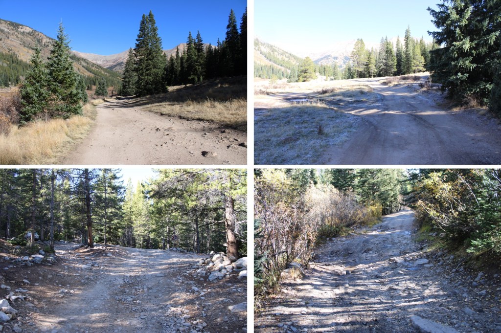
I parked just before the Lulu Gulch trailhead at 10,300’ at a nice dispersed campsite. My truck could have made it to the Huron Trailhead, as it has before, but the road seemed a little more intense this year and I love my truck, so I decided to park lower and get the extra mileage.
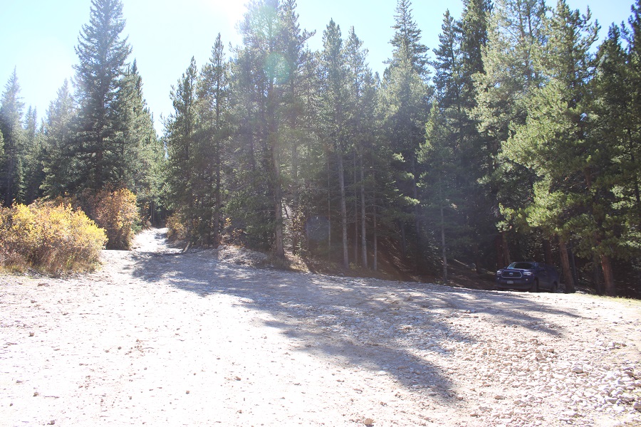
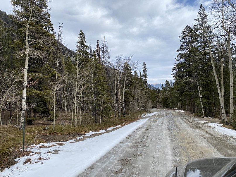
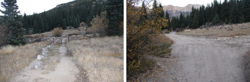
I woke up to a thick layer of frost because it was 27 degrees outside, and was on the trail at 6am. I followed the 4WD road as it meandered south, past the Lulu Gulch trailhead and numerous dispersed campsites.

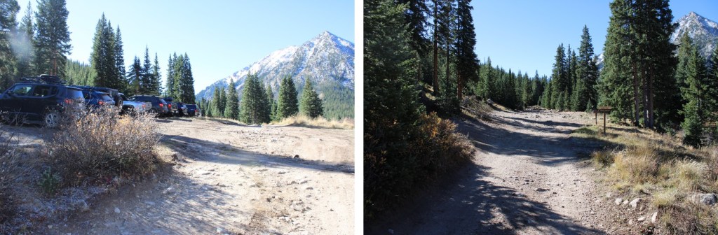
After hiking for about 1.75 miles I made it to the Huron Peak/Lake Ann trailhead. From here, I followed Lake Ann Trail 1462 south.
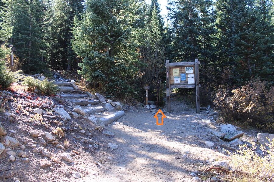
At the Lake Ann/Hope Pass junction I went right, following the Lake Ann trail

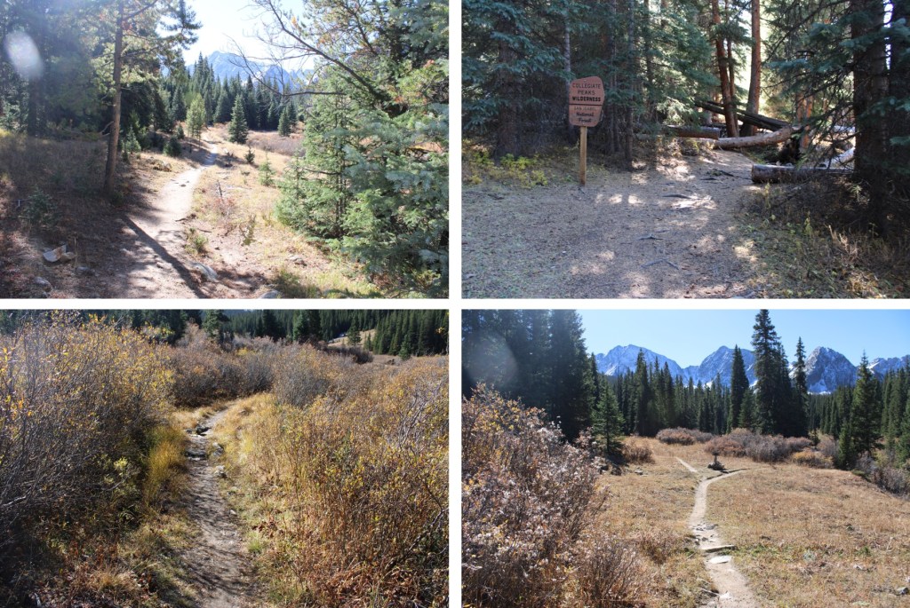
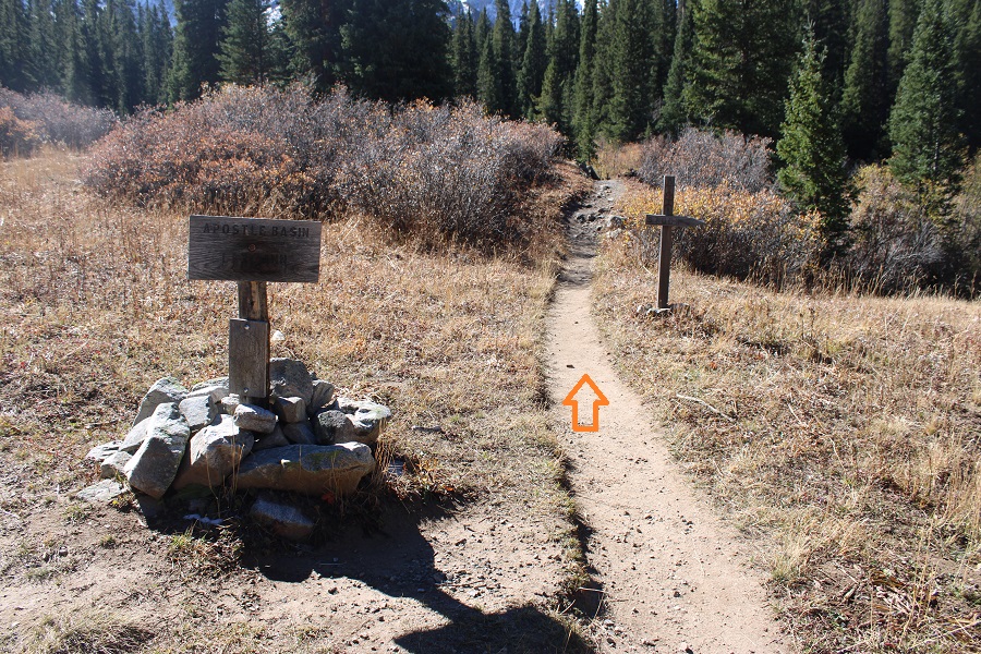
At the Apostle Basin/Lake Ann junction I went right, towards Lake Ann
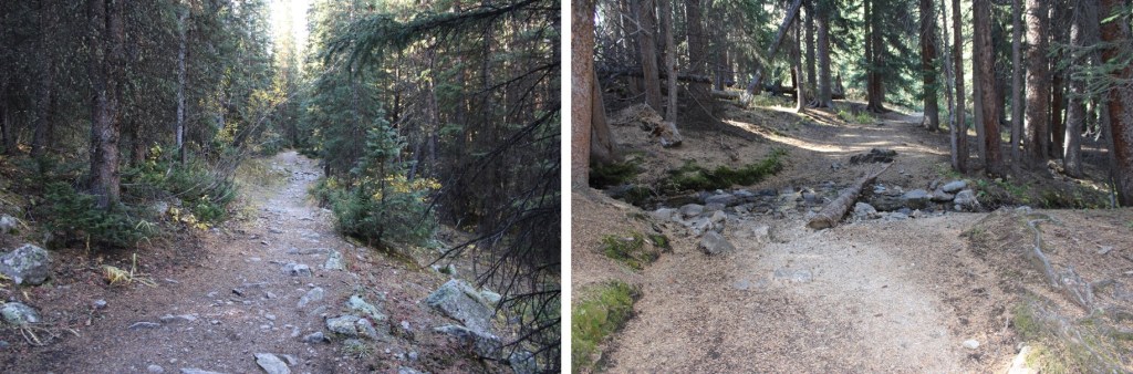
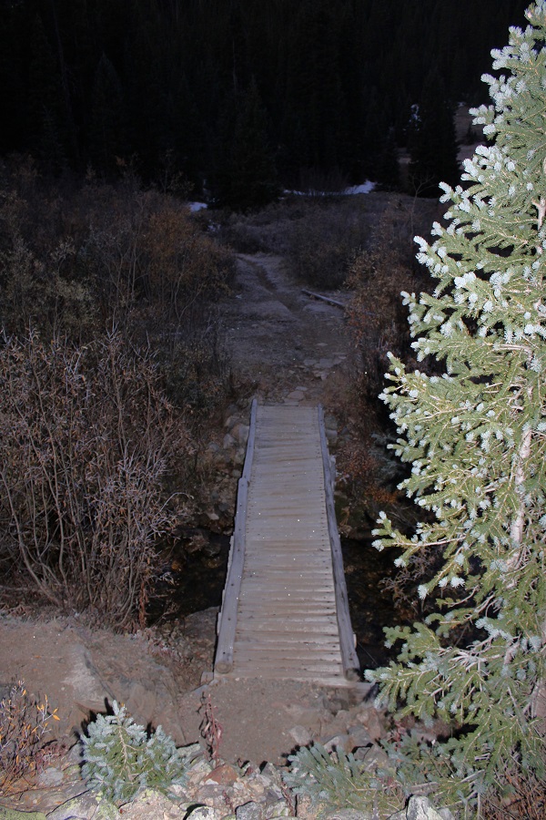
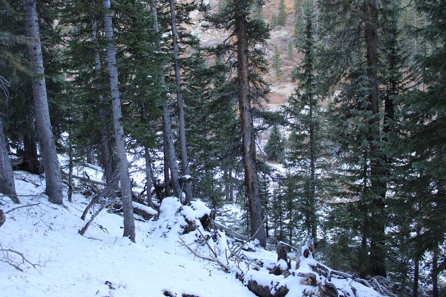
I immediately crossed a bridge, and followed this trail (1462) through the trees to about 11600’
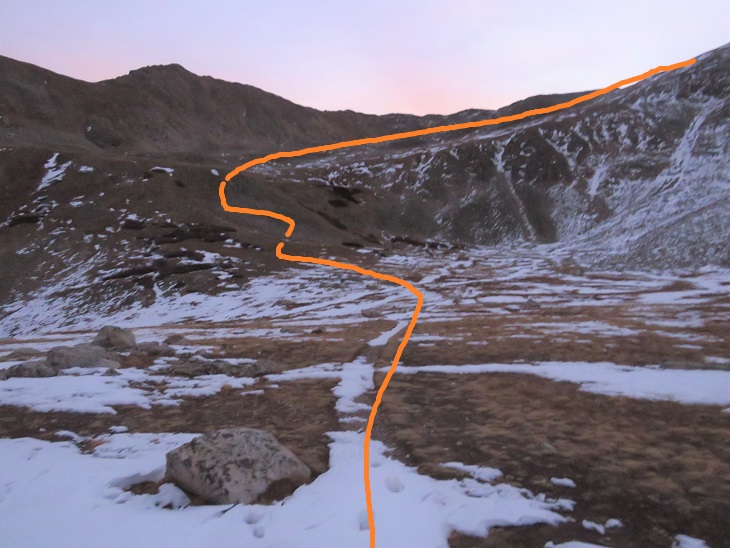
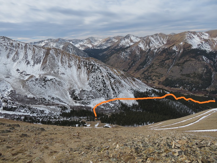
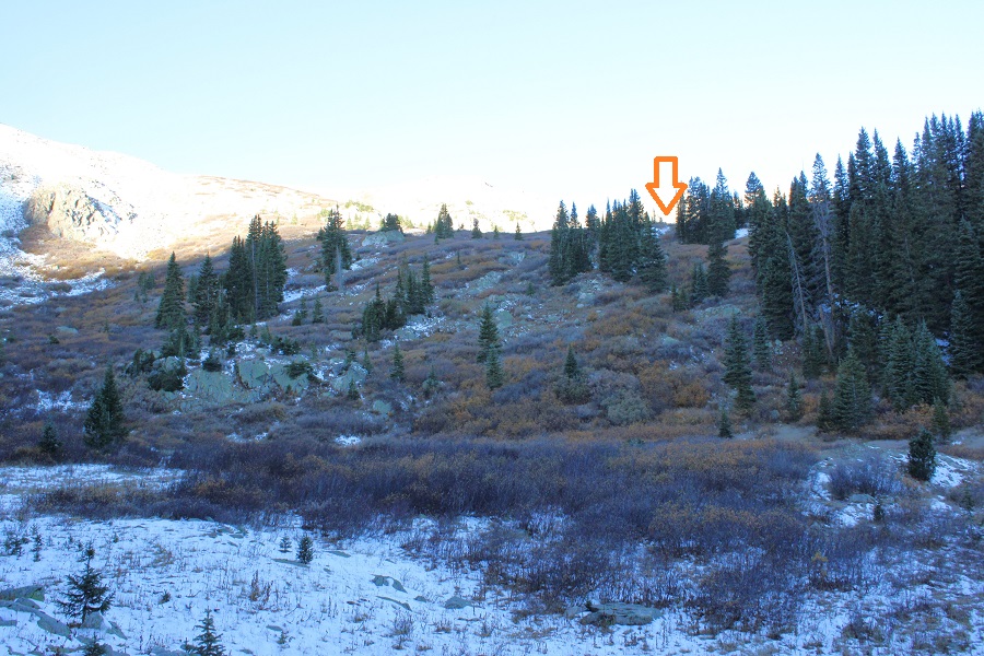
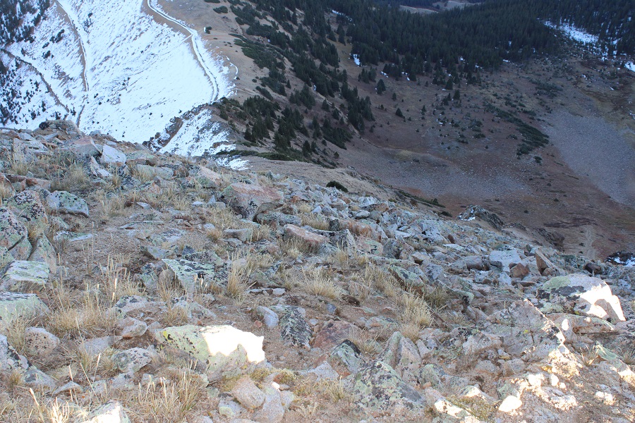
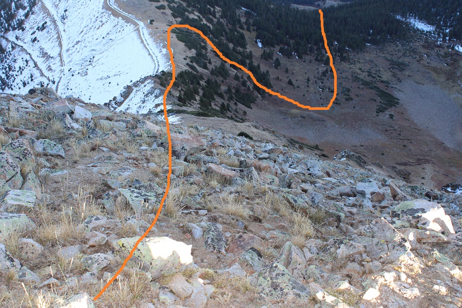
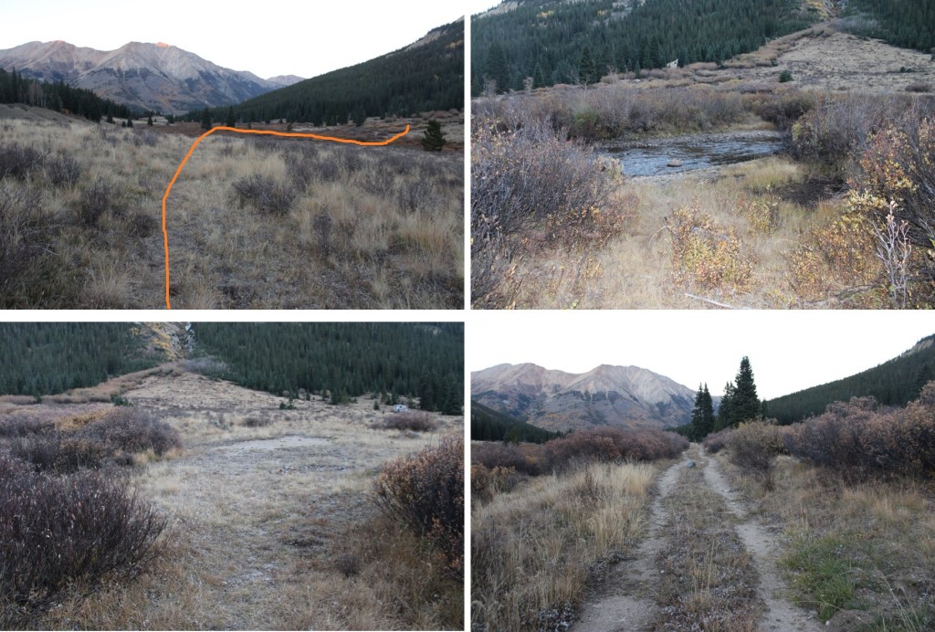
This next part is a little difficult to explain, but at 11600’ I left the trail and headed west, towards Harrison Flat. Here’s a picture from above at where I crossed

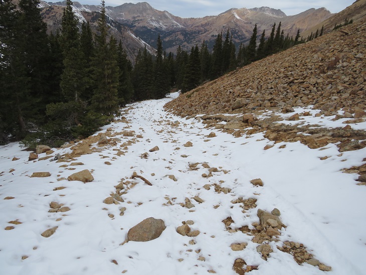
On the ground however, it looked like this:
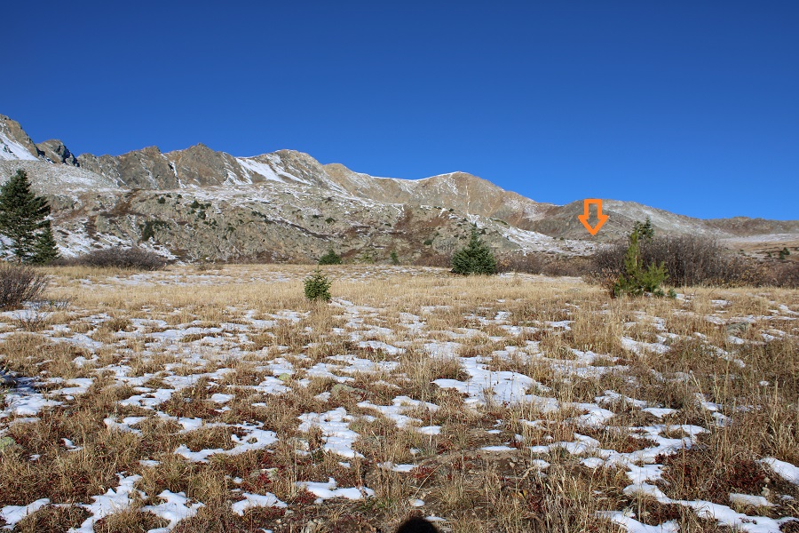
I was headed here to access the upper basin:
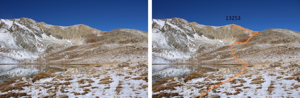
Once in the upper basin, I headed west towards the lake at 12155’

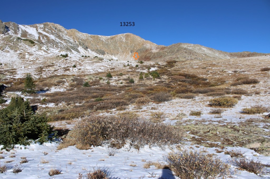

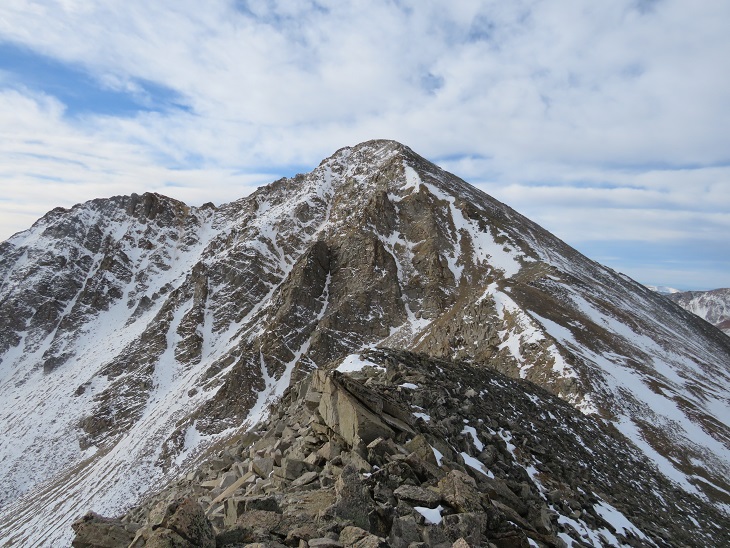
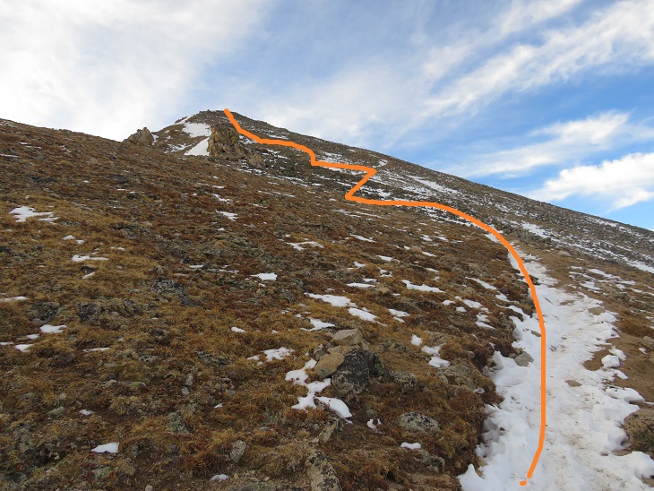
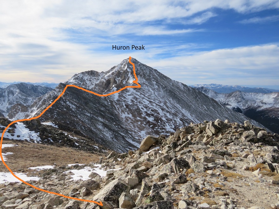
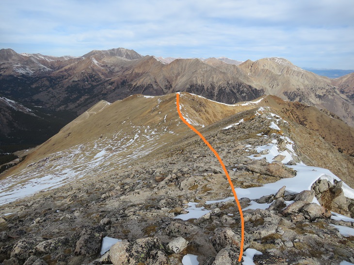
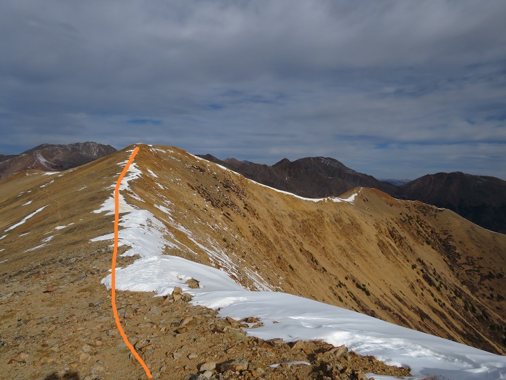
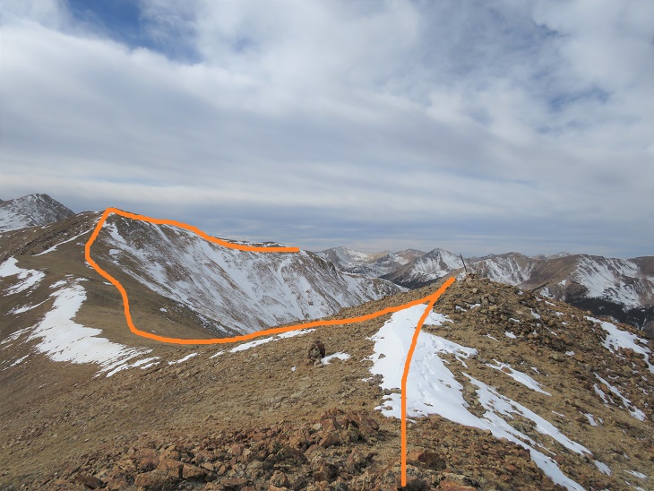
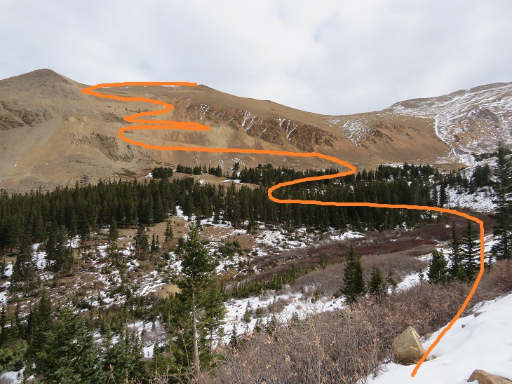
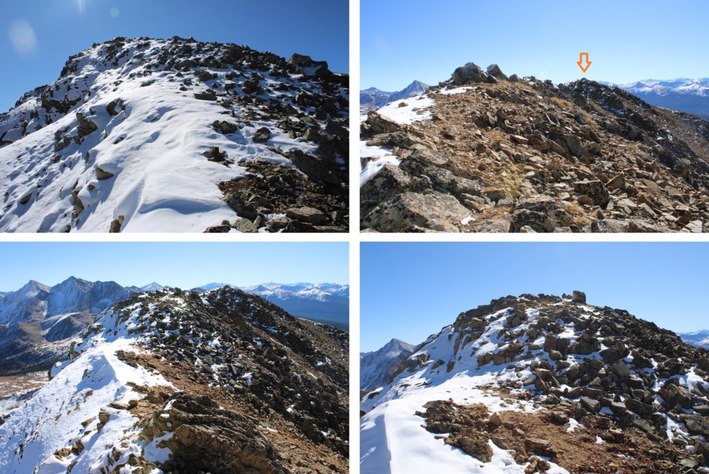
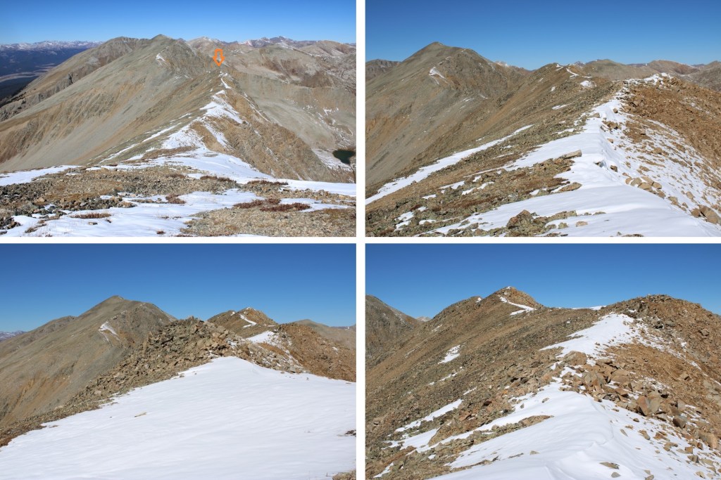
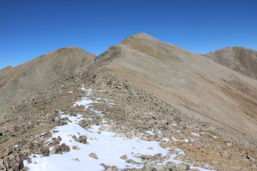
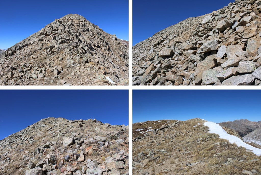
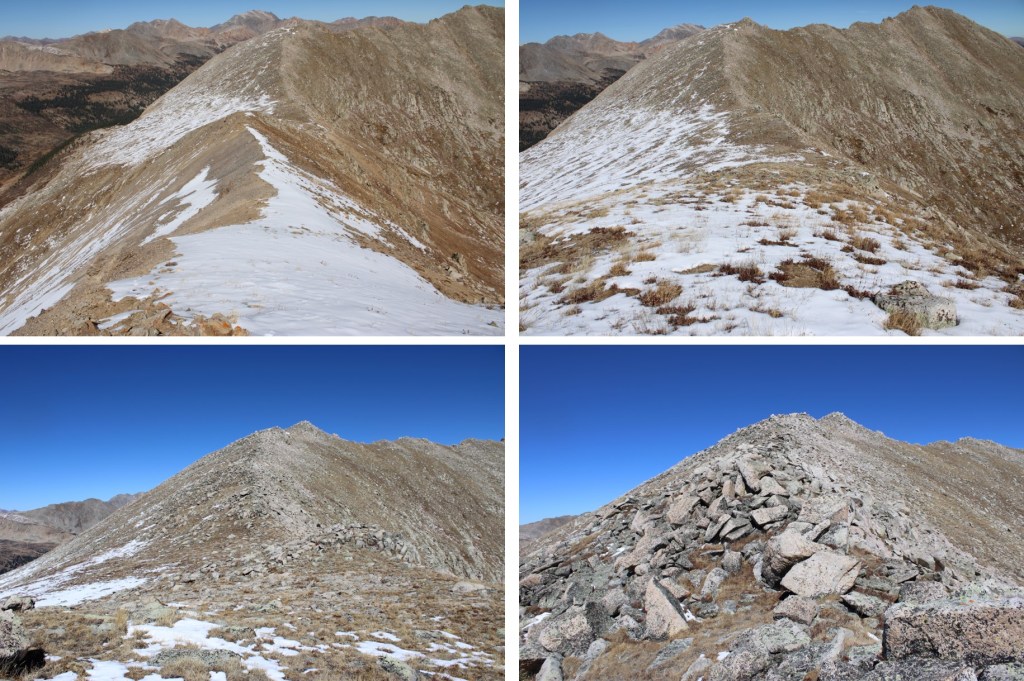
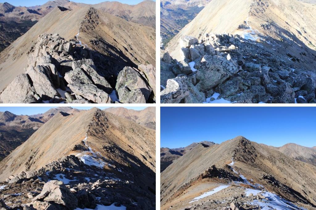
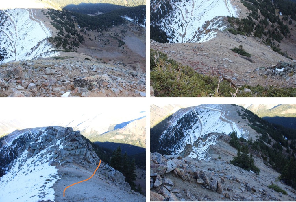
Once at the lake, I skirted it to the right, and headed up the slope. This is the route I took to the ridge. This is the overall route I took to the top of 13253. Note I stayed below the ridge for some time, to avoid the rocky areas.
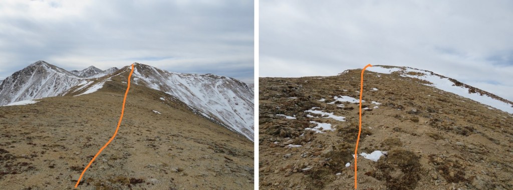
And some step-by-step pictures. This is choose your own adventure, but I took the ramp to the right to ascend the ridge.

Then stayed low to avoid the rocky areas. It became obvious when to ascend on a scree/tundra ramp
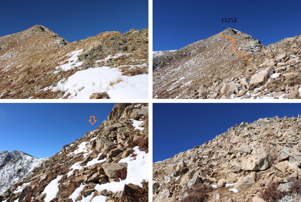

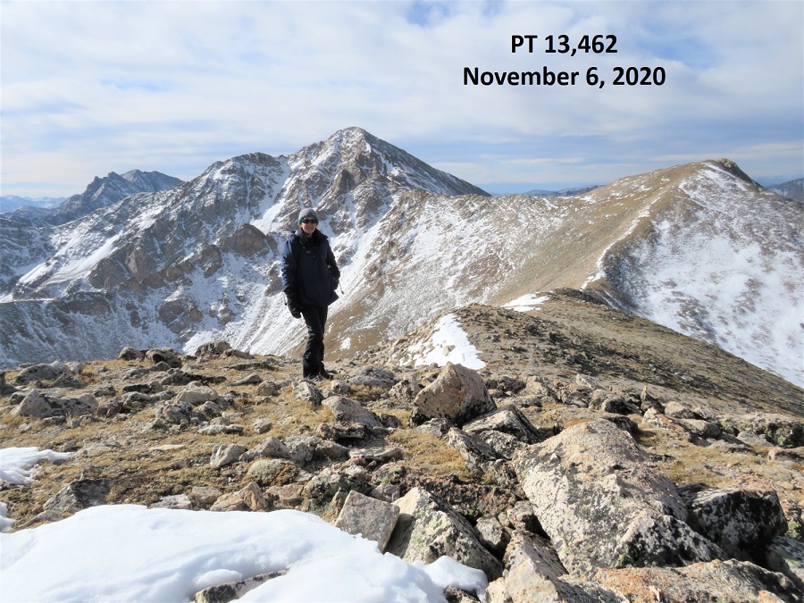
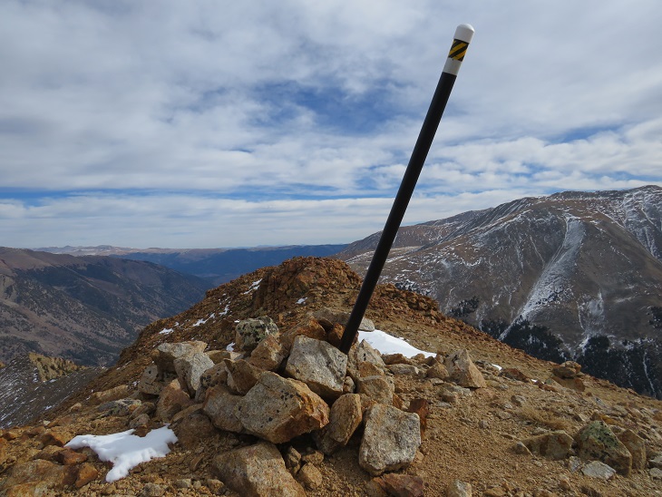
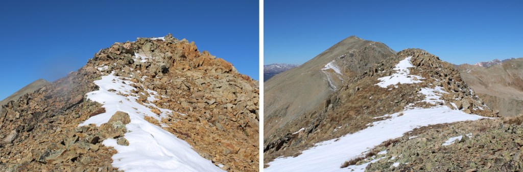
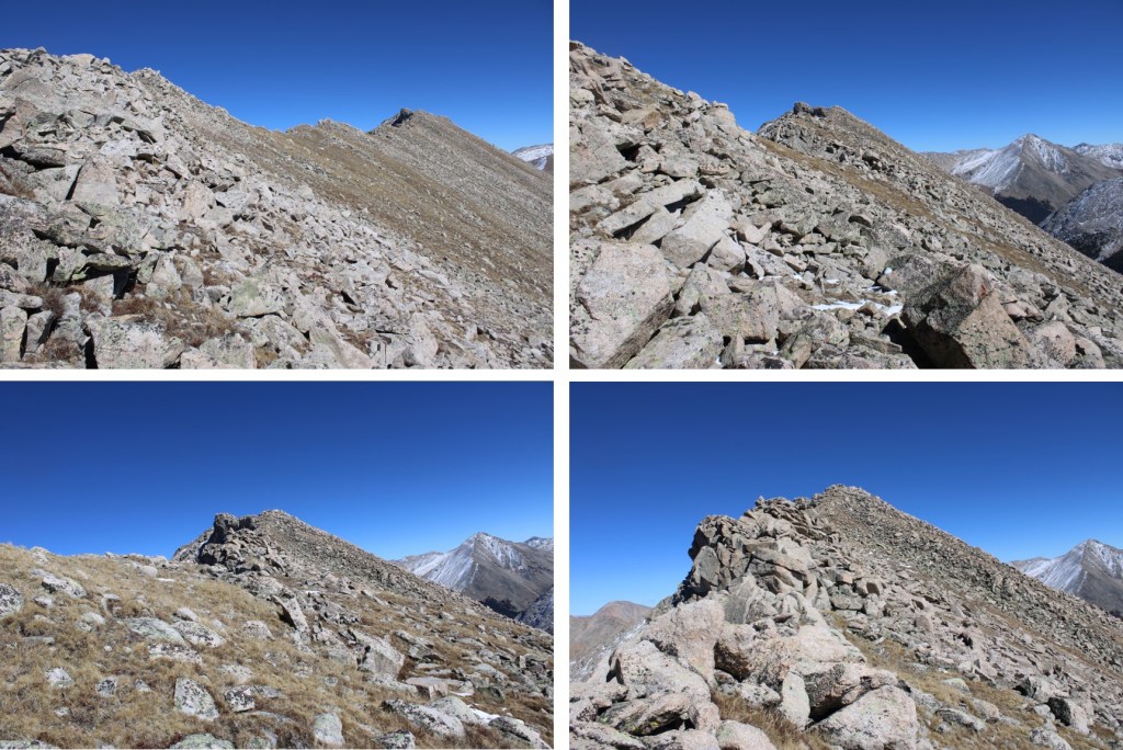
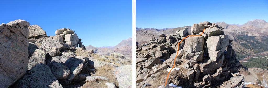
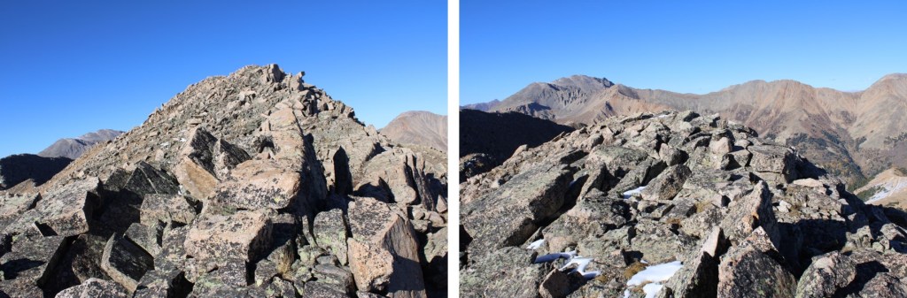
There was a summit register here, which I thought was odd because the true summit was to the south. I’m not sure if it’s LiDAR or what, but LoJ does not show this as the true highpoint anymore, as PT 13258 to the south is higher. I took a video anyway, as I was there.
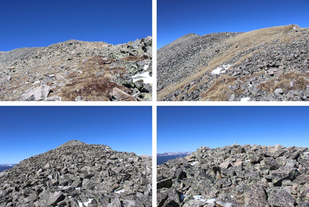
PT 13253:
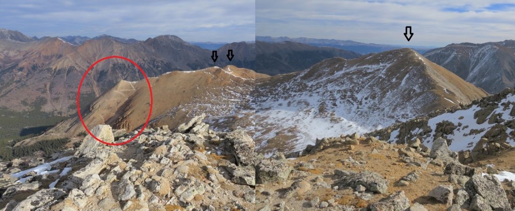
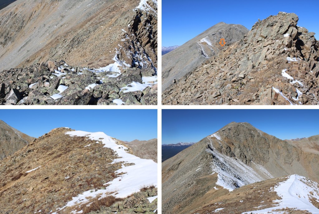
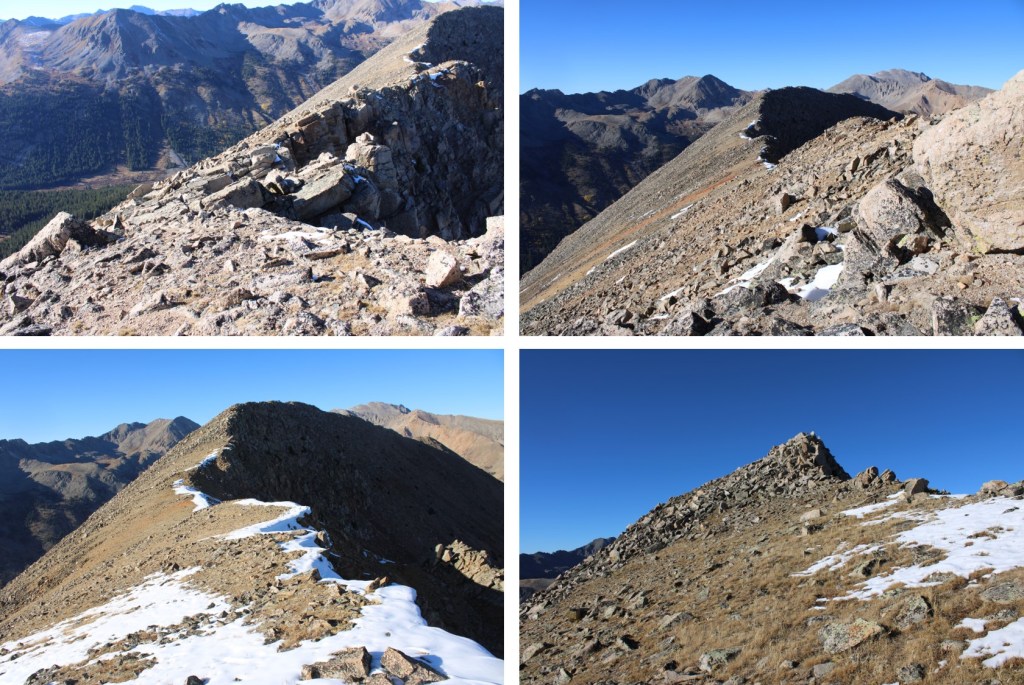
I then headed southeast towards PT 13258
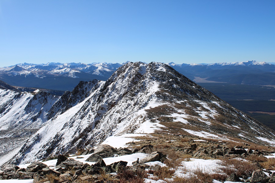
This is the overall route I took

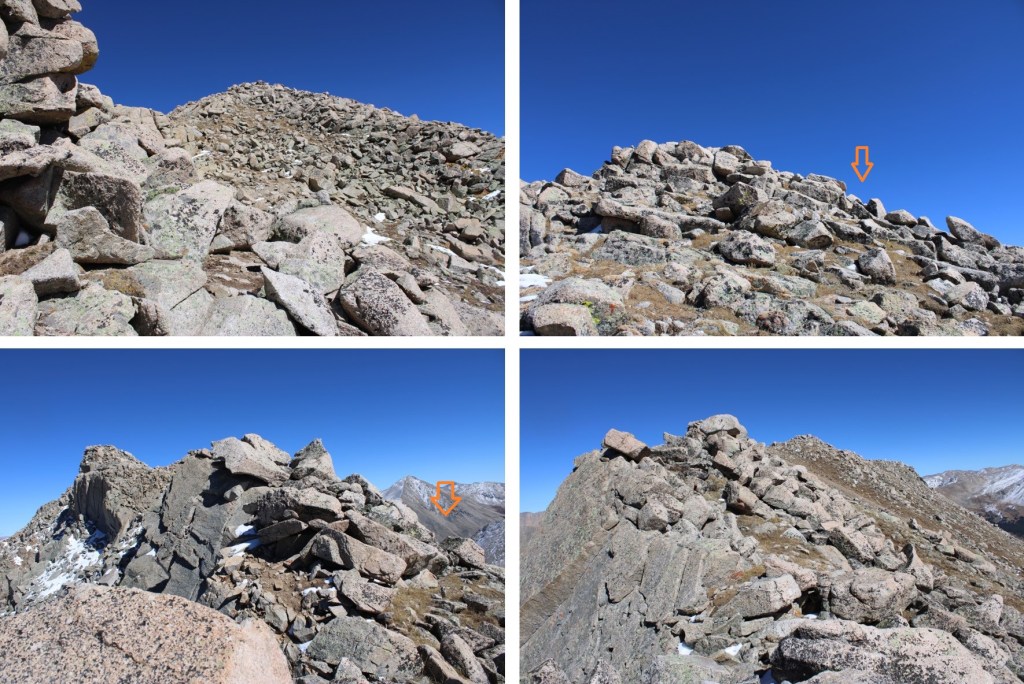
And some pictures of the route. I descended about 115’ to the saddle, nd then ascended to the summit
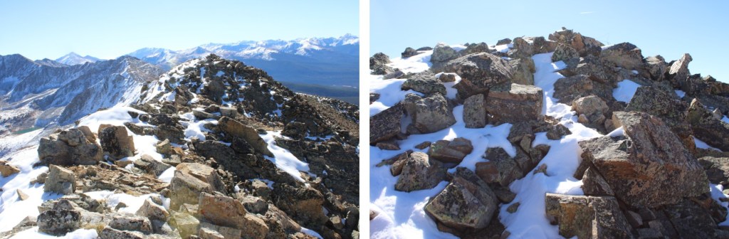
I summited Pt 13258 (also known as 13253 south) at 10:15am
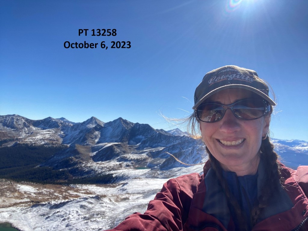
PT 13258:
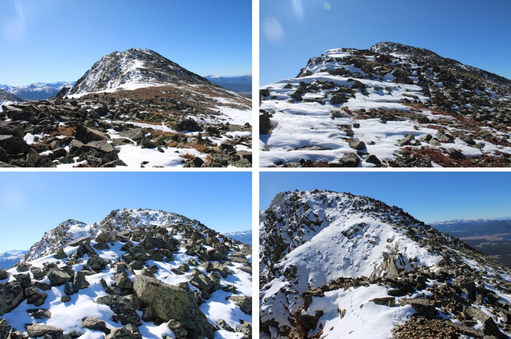
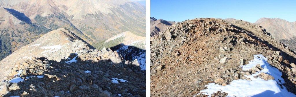
And now to head back to PT 13253


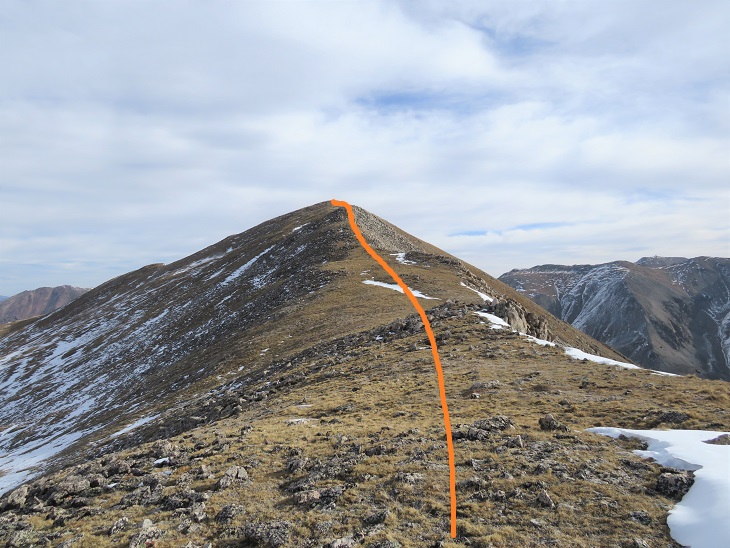
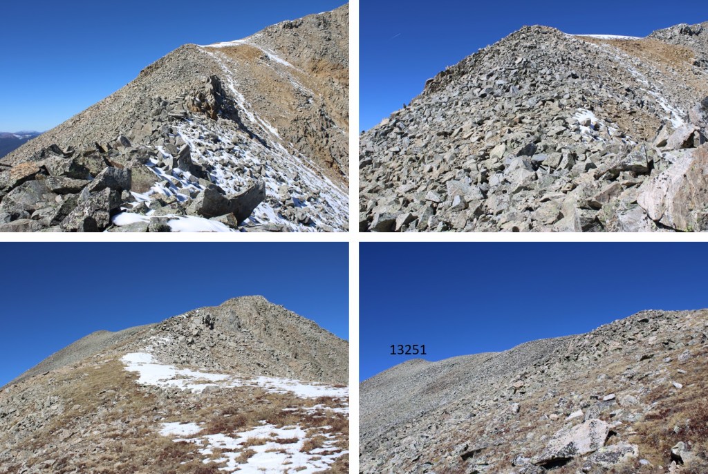
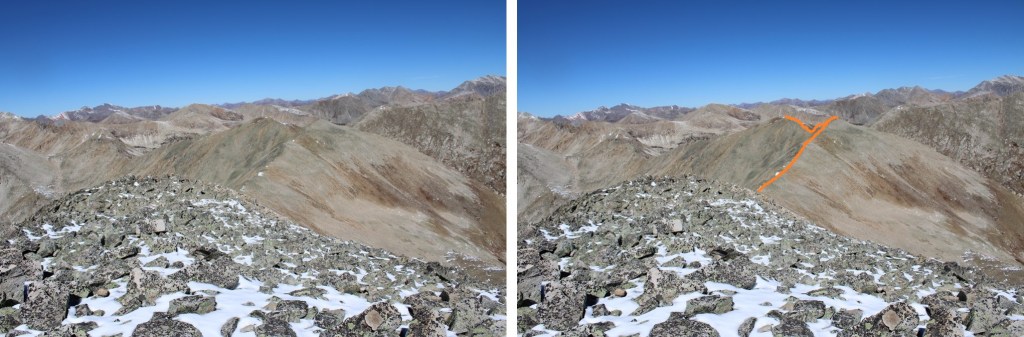
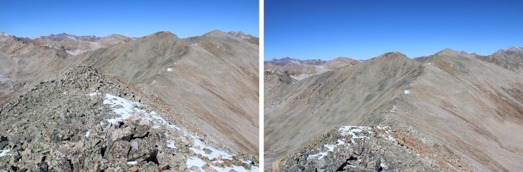
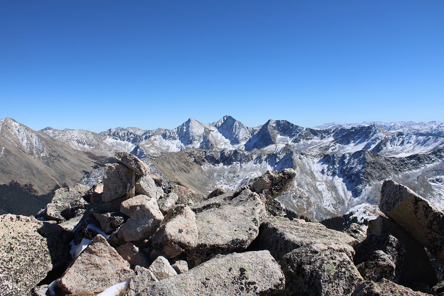
Back at PT 13253, my next objective was PT 13251, to the northwest
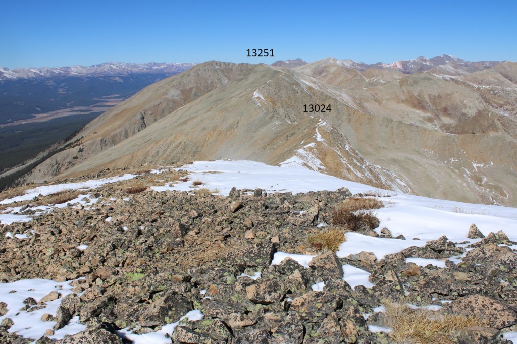
First, I had to get to PT 13024. It was a simple, rocky, class 2 ridge hike to get there
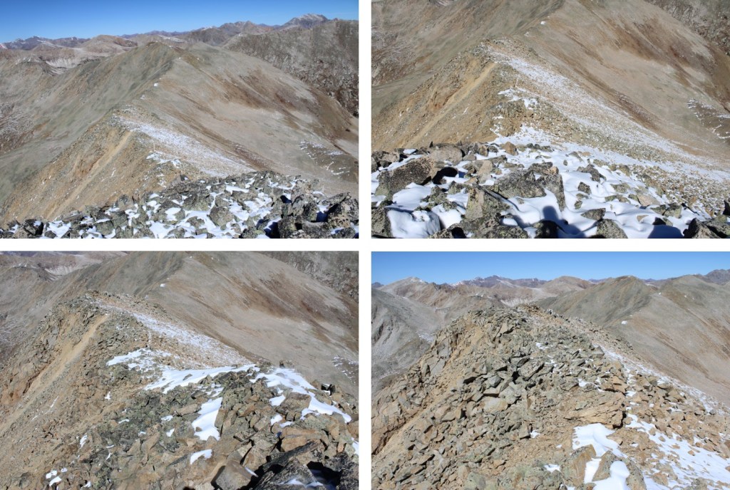
Then it was down and up to PT 13251. Here’s my overall route to get there, staying to the left when I encountered obstacles, keeping this class 2.


I summited PT 13,251 at 12pm
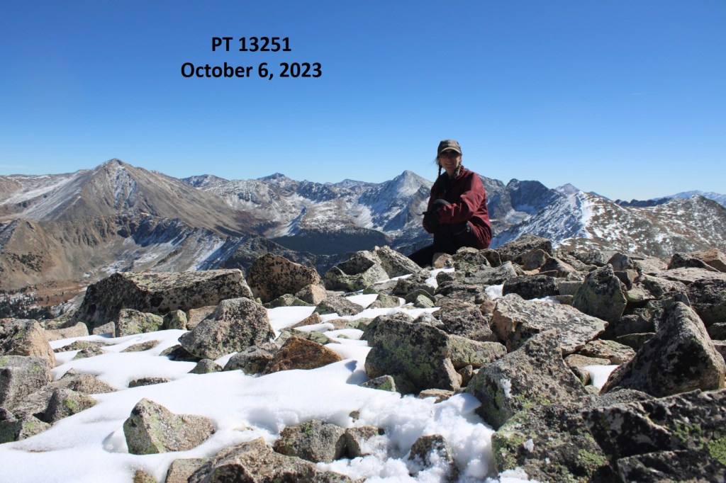
PT 13251:
There was a summit marker at the summit

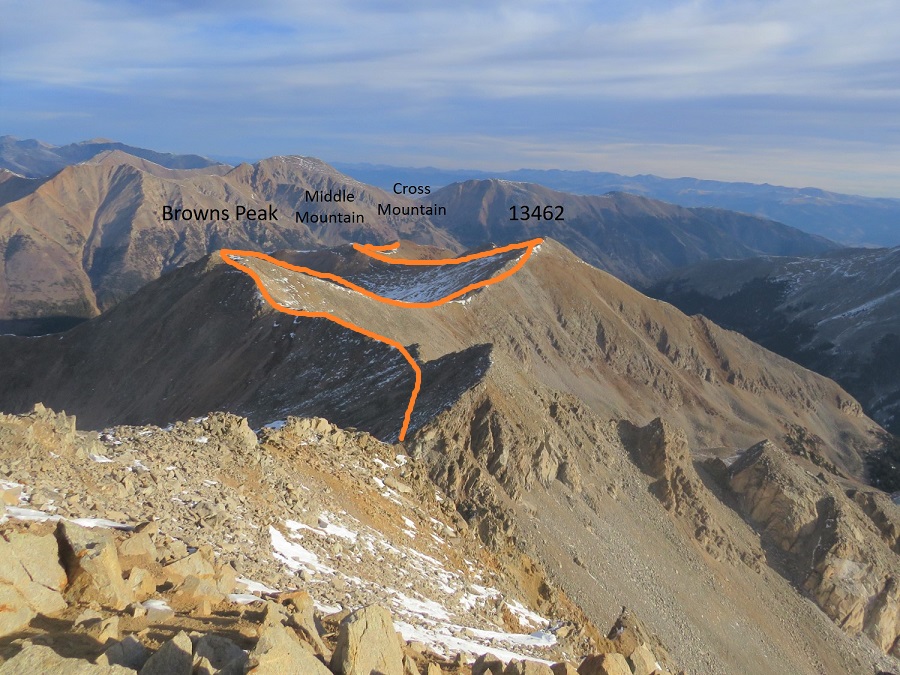
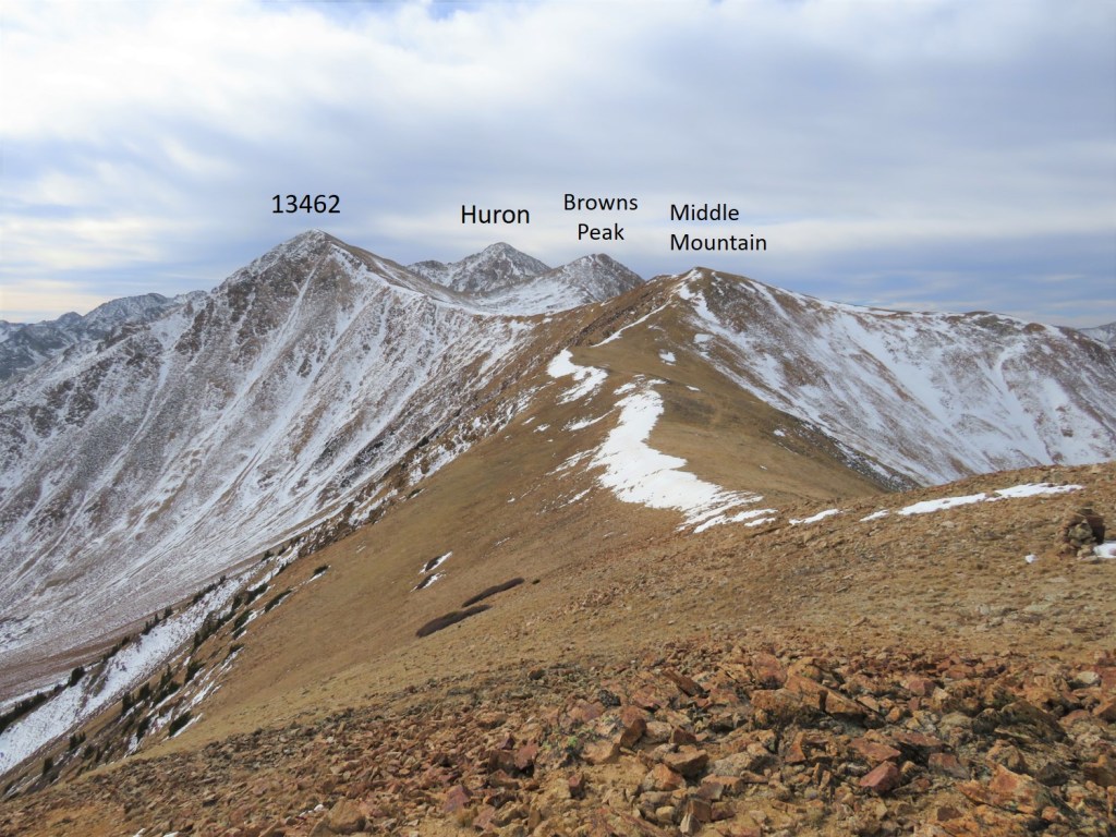
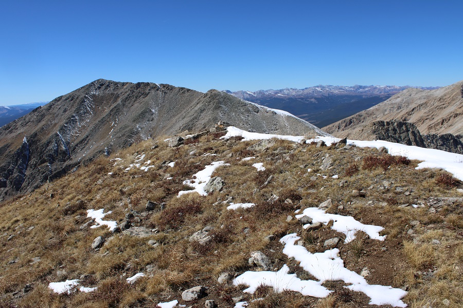
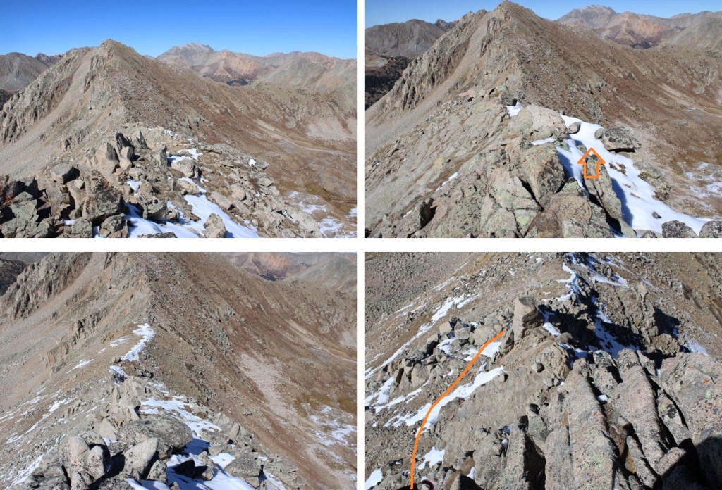
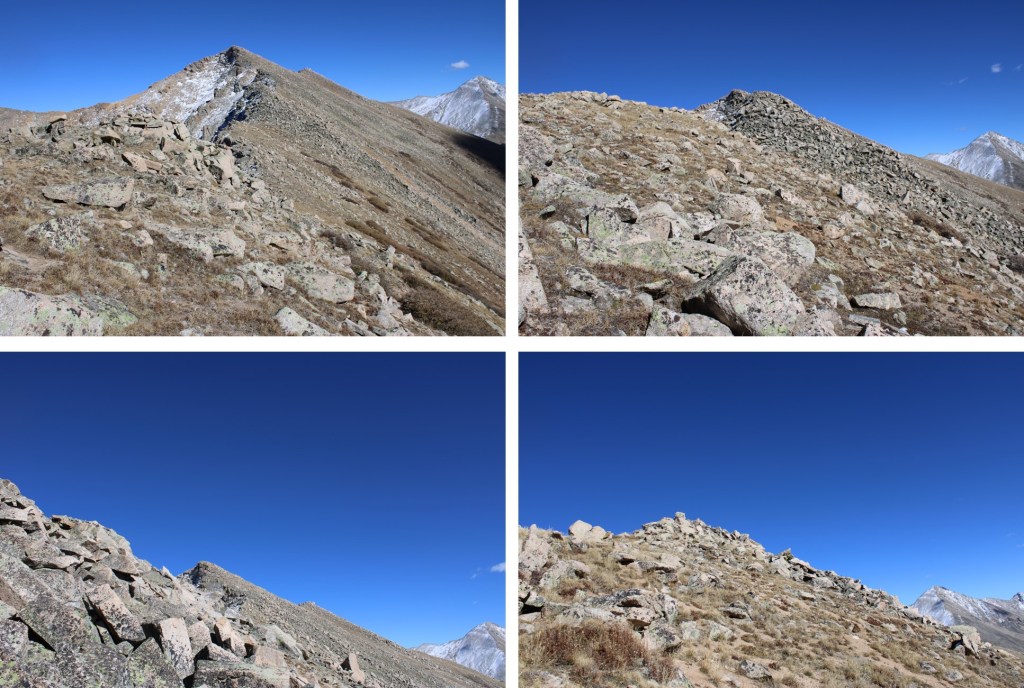
My next goal was Sheep Rock Mountain, which was much further away than it seemed. First I needed to summit these two points (13115 and 13100, unranked, but they feel like they’re ranked) before following the ridge. While downclimbing each of these points, there was sugary snow covering the rocks, making the traverse a bit spicey. Otherwise, it was all class 2.

I began by following the ridge north, towards PT 13115. Don’t be fooled, there are actually two summits here
Here’s a view of the first downclimb
Here’s looking back at 13251

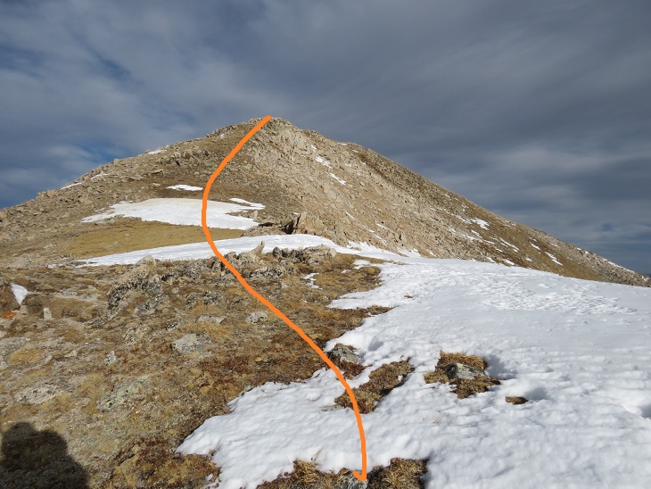
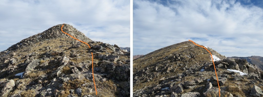
Then up the ridge 165’ to this point. This was all class 2, but rocky
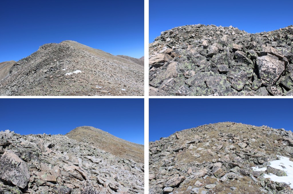

This point was unranked, as is the next point I could see to the northwest, PT 13115
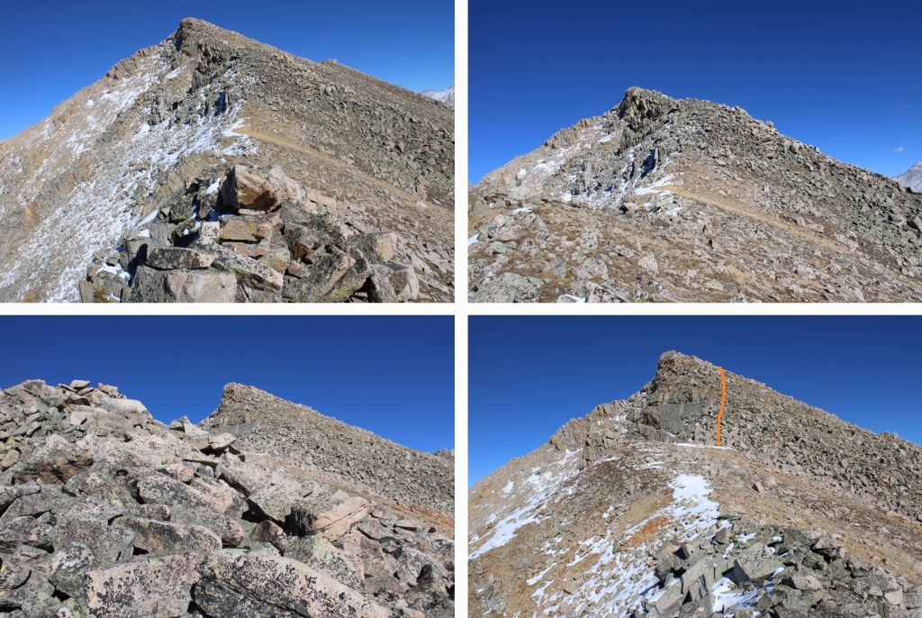
I initially stayed to the left of the rocky ridge to descend towards the saddle, then switched to the right side, and back to the left. There was snow involved, so I’m not sure what it looks like in dry conditions. This was all class 2 scrambling.

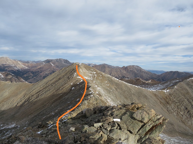
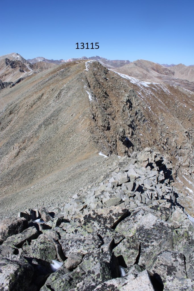
Here’s the ridge up to PT 13115. It stayed class 2, staying left before taking the ridge

I stopped here for a little break before continuing on.
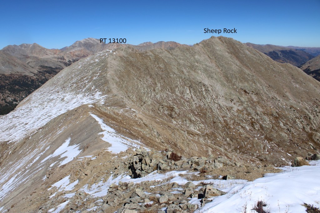
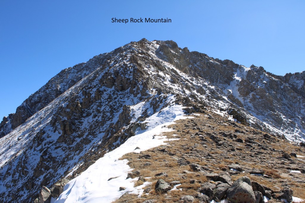
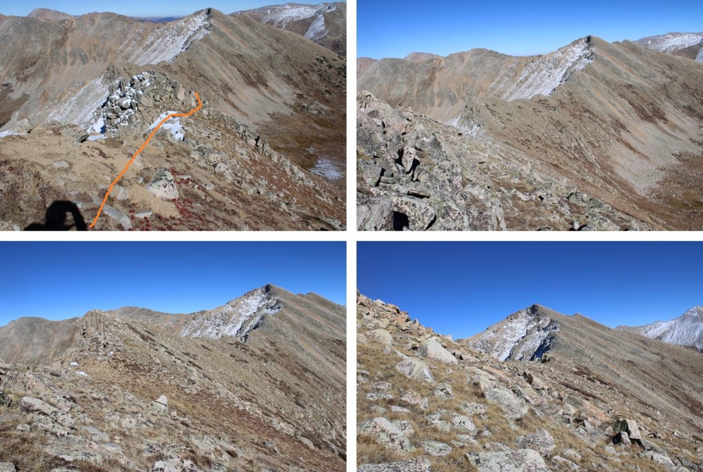
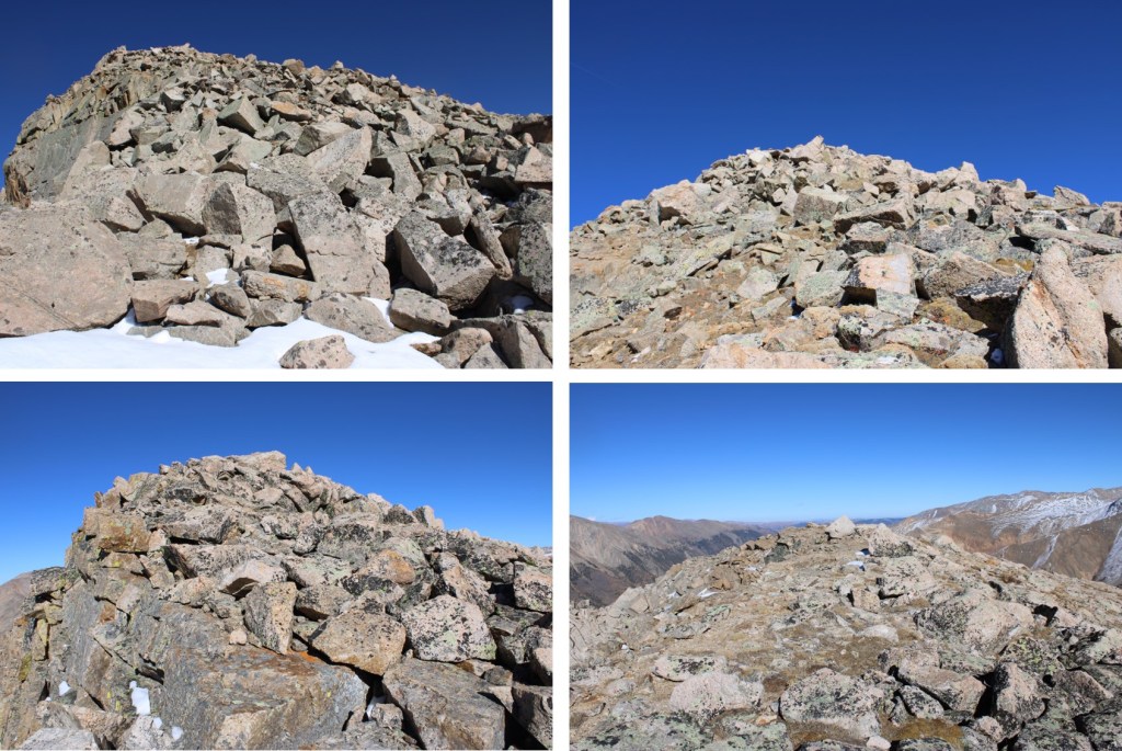
I could see Sheep Rock Mountain to the northeast. I decided to skirt PT 13100 and stay low on the ridge. This was my overall route.
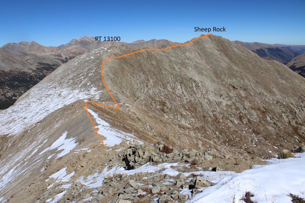
Here are some pictures of the route to Sheep Rock (all class 2)

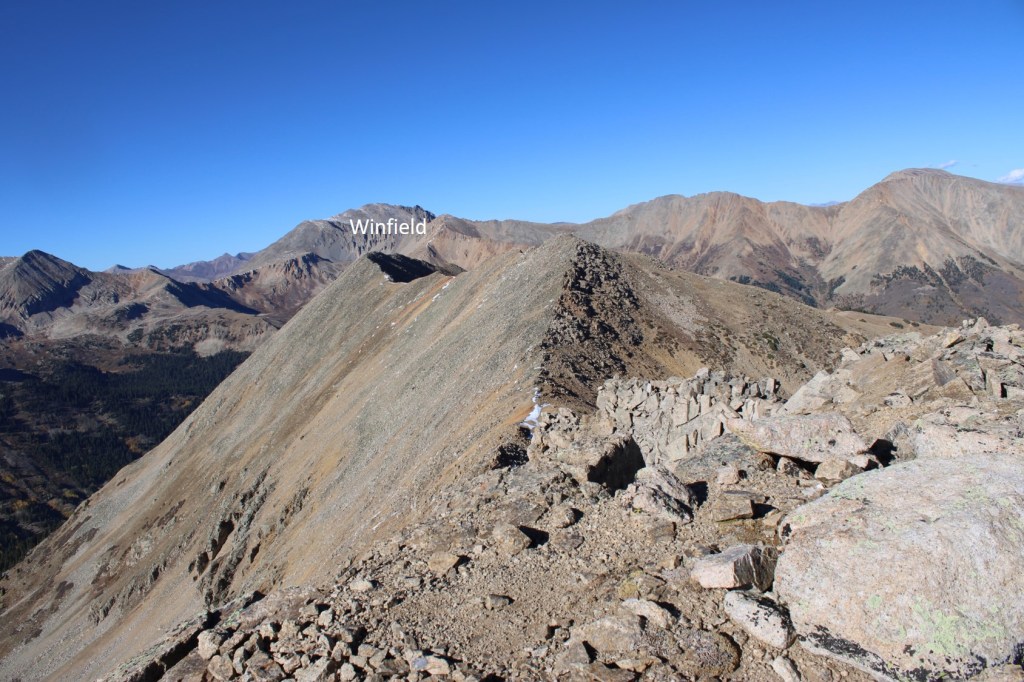
I summited Sheep Rock Mountain at 2:15pm

Sheep Rock Mountain:
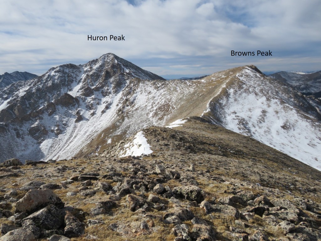
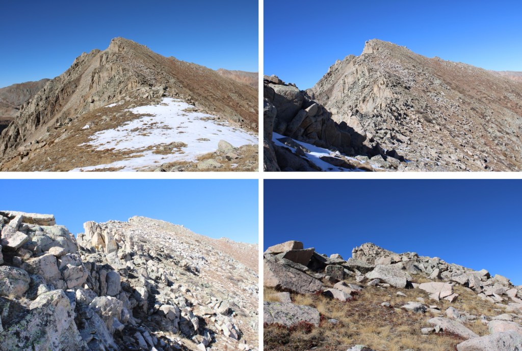
I could see all 3 remaining peaks I had for the day, West Virginia, Virginia, and Winfield. West Virginia Peak was to the north.

I descended 460 feet down to the Sheep Rock/West Virginia Saddle, staying either on the ridge direct or dipping down to the right in the beginning, the left towards the end. This can all be kept class 2

Here’s looking back up at Sheep Rock Mountain
Then I ascended 350’ to the summit of West Virginia, still keeping this class 2

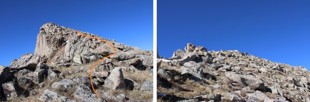
The summit was an easy scramble to the top
I summited West Virginia Peak at 3:10pm
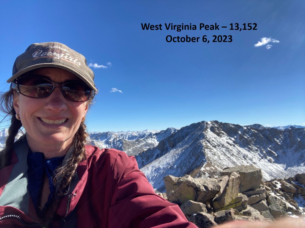
West Virginia Peak:
To the east was Virginia Peak

I stayed mostly on the ridge for this part, dipping to the right as necessary
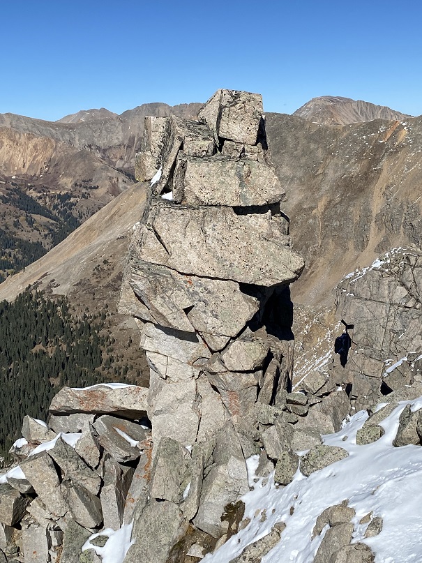
There was a rather interesting rock formation along the way. So much is going on here
Now up the rocky ridge
I summited Virginia Peak at 4:10pm

Virginia Peak:
My final peak for the day was unranked Winfield Peak to the north
This would be yet another ridge hike. Here are some pictures of the ridge to Winfield

Still more ridge to go…


I summited Winfield Peak at 5pm
Winfield Peak:
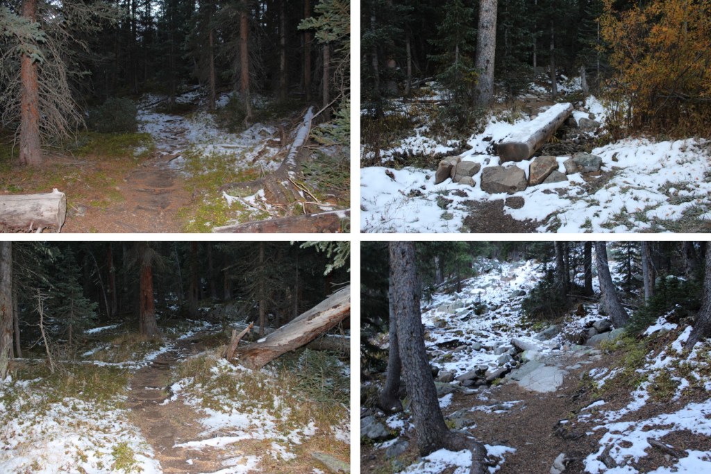
Now to head back down. I was (obviously) making this a loop, and had to get back down to the 4WD road. This included some bushwhacking. Initially, I continued following the ridge northeast
Then it became obvious I needed to follow the ridge east. This was very steep and included a lot of scree.
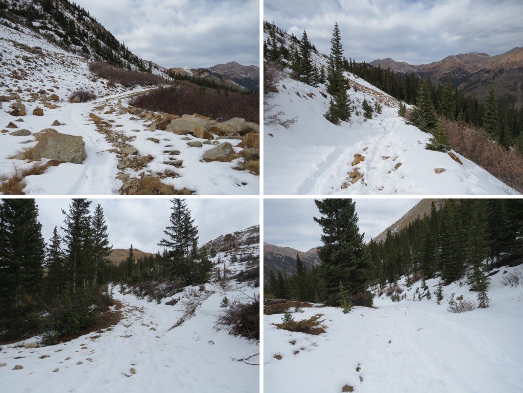
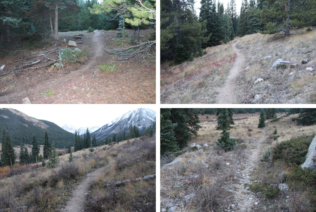
I descended 860’ down the ridge, to about 12260’ of elevation, then took an old road down into the basin. The road quickly dissolved, and I bushwhacked east through the trees, looking for a hiking trail I knew would be below. Here’s my route out of the basin
And some pictures

And now into the trees

As I got closer to the trail, I could see the 4WD road I needed in the distance. I kept aiming for the road

And eventually made it to the trail. I took this trail south, until it hooked up with another trail that would take me across clear creek and back to the 4WD road
Back on the 4WD road, I followed it northeast back to the lower Huron Trailhead
I made it back to my campsite at 7pm, making this a 19.34 mile hike with 5574’ of elevation gain in 13 hours.
On to the next trailhead!