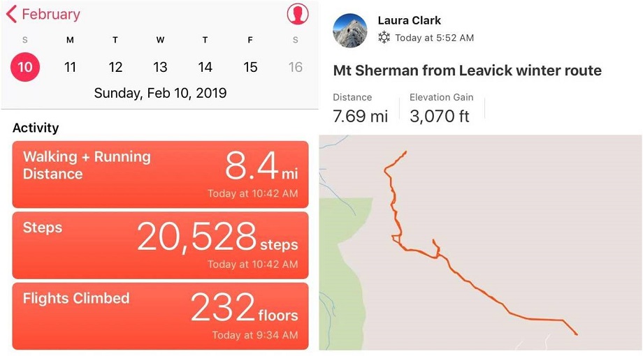
RT Length: 8 miles
Elevation Gain: 3070’
Out of the 12 peaks on my short list to hike today Mt Sherman had the best weather, coming in at 12* with 15-20mph winds, and 30mph gusts. This was by far the best weather for wind gusts (most other peaks forecasted 50+mph winds) so it was a no brainer as to which peak to pick. Unfortunately (as you’ll read later) I made this decision at 9pm the night before and didn’t do much (ok, any) research on hiking Mt Sherman in winter because I’d seen some FB posts there was minimal avy danger that was easily avoidable and read the trailhead was clear. And hey, I’ve done this peak before and I knew what I was getting into. Right?
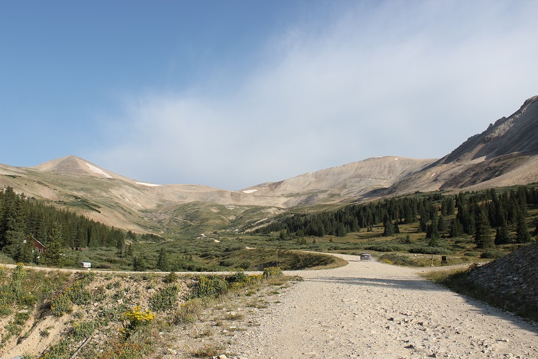
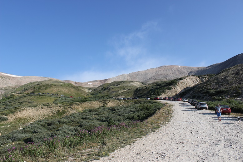
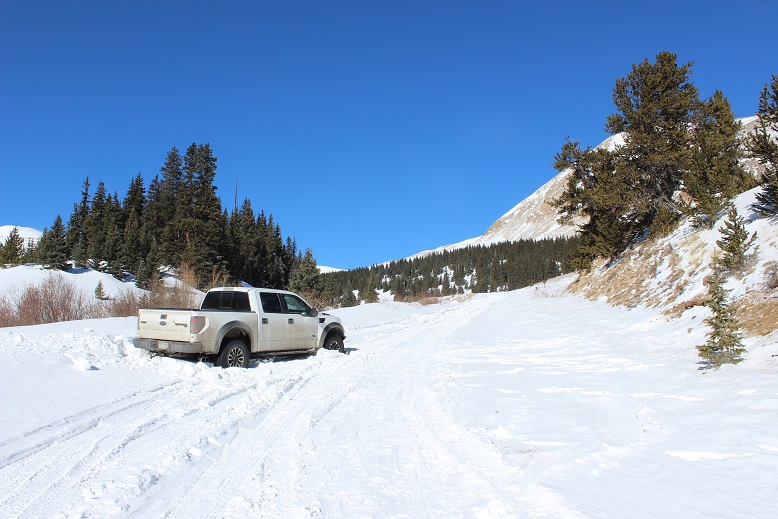
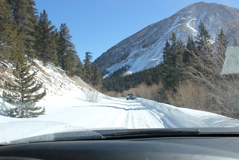
I was more nervous on the drive in to this trailhead than I’ve ever been. The last conditions report hinted it wouldn’t be difficult to make it to the Leavick site, and possibly further in a 4WD. However, about 4 miles before the Leavick site the normally 2WD road became a sketchy, drift and rut filled one way snow fest. This was a ‘both hands on the wheel’ kind of experience that required skill to stay in the lane and not drift into the deep snow on either side of the vehicle. I didn’t feel stellar about continuing on, but there was no place to turn around and in the dark I couldn’t see to back up so I just kept driving onward, bolstered by the fact others had obviously succeeded on this road yesterday.
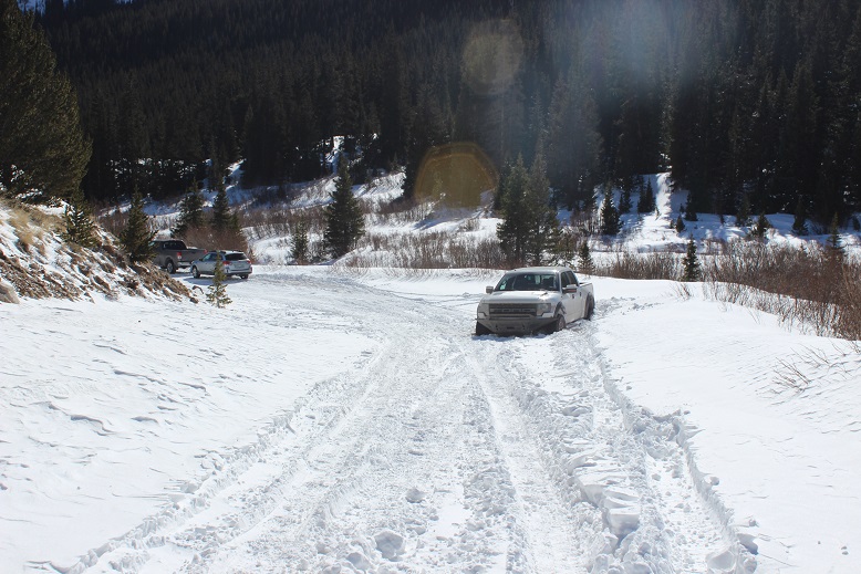
I made it to the Leavick site at 5am in one piece (woohoo!) but there was no safe place to park my truck without it getting stuck in a snowbank. The wind had drifted snow all over the area, so I set about using my trucks tires as snowplows and drove it back and forth, up and down, flattening out an area big enough to park. This took a lot more time than anticipated as the snow was soft and kept sinking and squishing up on the sides as I drove over it. I had no idea how deep the snow actually was and the more I drove over it the more it pushed up the snow around it to make new walls. I got out my snow shovel and started scooping up some of the bigger areas of snow to make more room. Just as I was doing this another truck arrived and I let out a sigh of relief: The more vehicles to drive up the road and stomp down the snow the better! It looked like he was going to continue on, but then suddenly he backed up…. right into a drift. Ouch. I lent him my shovel and went back to work trying to make a suitable parking area. Once I felt I’d made enough room for my truck to safely park and about 2 others I went over to help the man with the stuck truck. We tried shoveling away all the snow, putting dirt and then rocks under the tires, and him gunning it while I pushed. No dice. That vehicle was stuck.
I was now an hour behind schedule and that truck wasn’t going anywhere. The man told me he had a few friends meeting him soon so I offered him the further use of my shovel and began my hike at 6am.
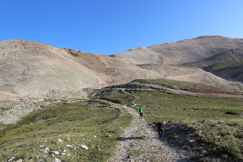
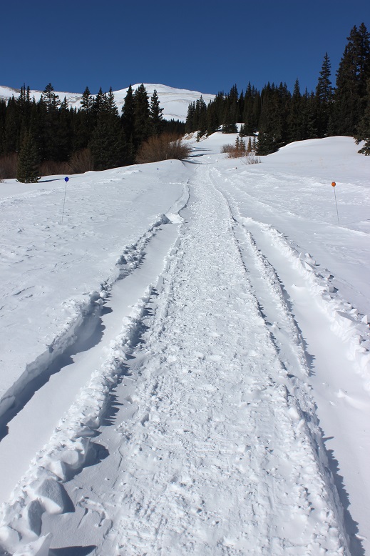
The Leavick area is 2.5 miles below the trailhead, but an easy hike on a 2WD dirt road (well, 2WD in the summertime). I put my snowshoes on in the truck and was grateful for them as I made my way up the road. It was windy but I’d anticipated the wind and was grateful for my balaclava, mittens, and hat.
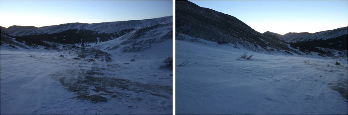
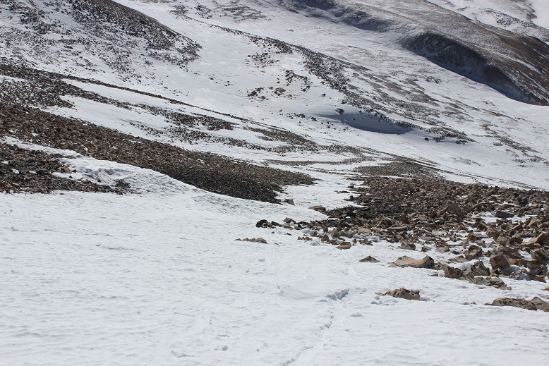
At this point I started seeing footprints and even though I knew the road curved around to the left I decided to follow the footprints that led in the general direction of the basin, knowing they’d all connect when I made it further up. I made it to about here and stopped
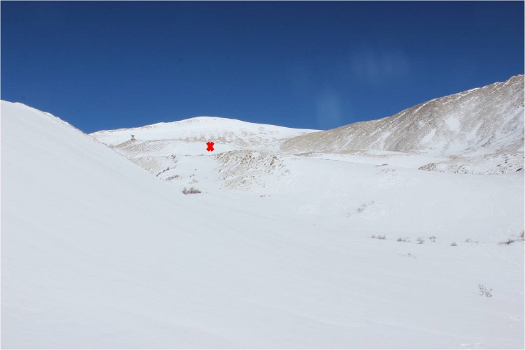
The snow just didn’t feel right. I knew if I continued on I’d make it to the basin, but it felt like I was walking on a thin crust of ice with spongy layers below. It didn’t feel or sound right and the slope was getting steeper. I decided to just backtrack to the road. (Later I learned this was indeed the winter route, and others made it up said route that day, so I was most likely being over cautious, but no regrets).
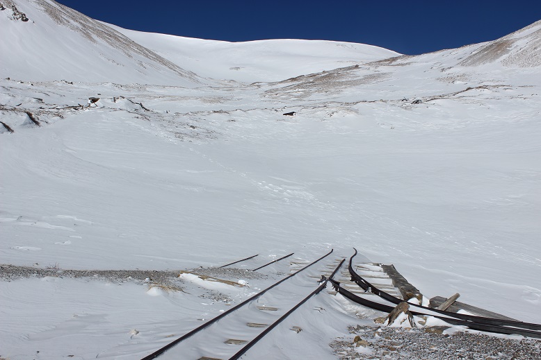
I made it back to the road fairly quickly. There was plenty of snow blocking the gate
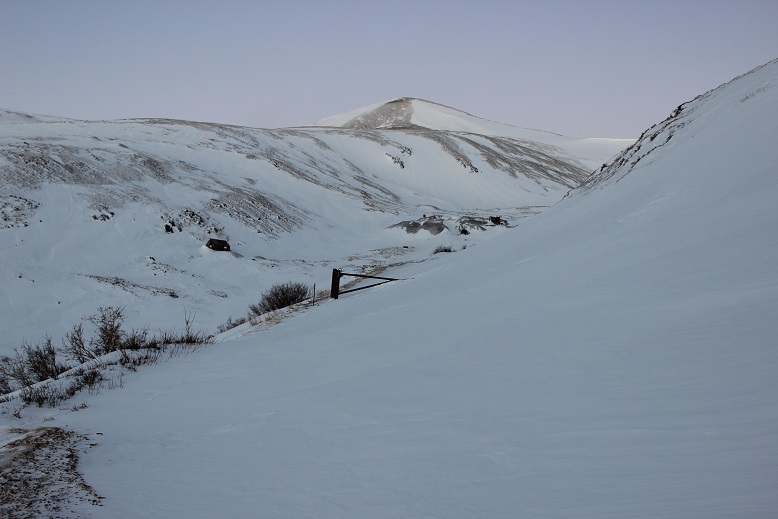
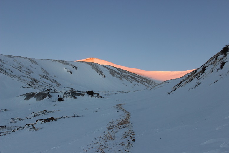
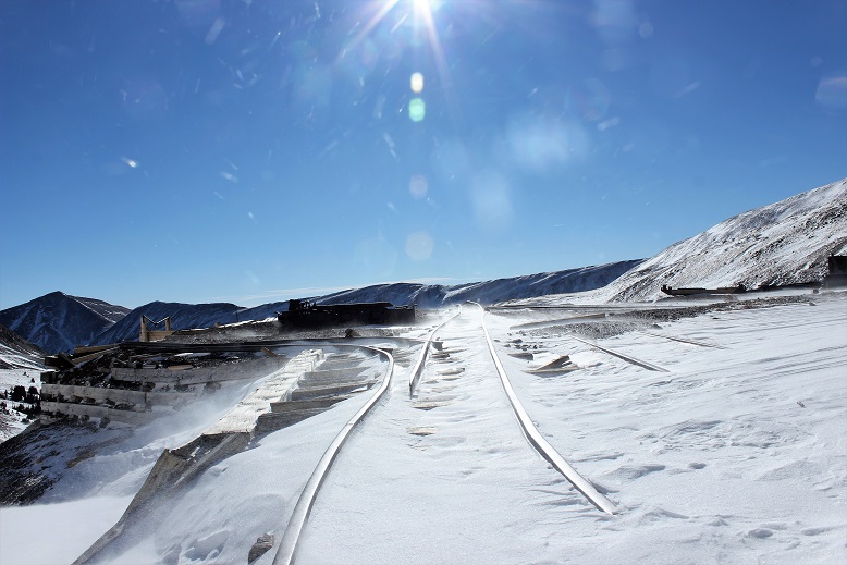
The sun started to rise just as I walked up to the Dauntless Mine area. I silently wished I’d started just a bit earlier so I could fully enjoy the alpenglow.
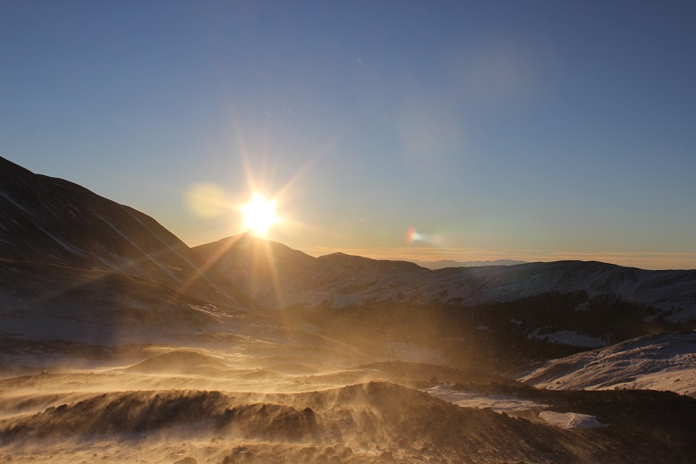
The wind was still present. Every once in a while a gust would hit me full force and I had to turn around and put my back to the wind, but this meant I was facing the sun
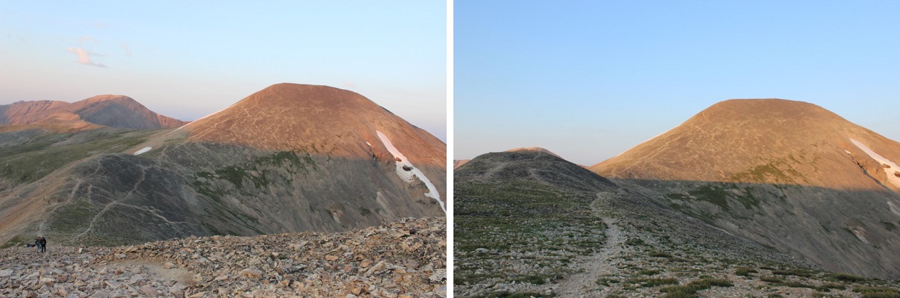
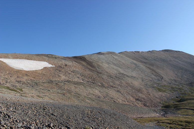
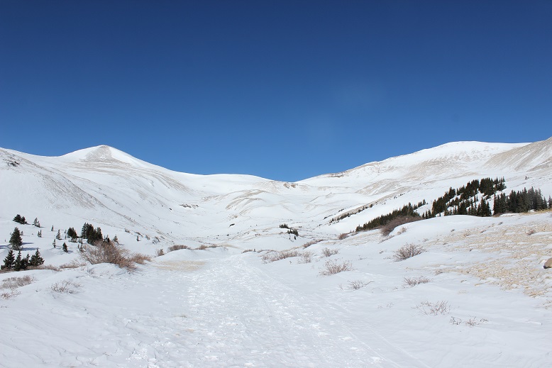
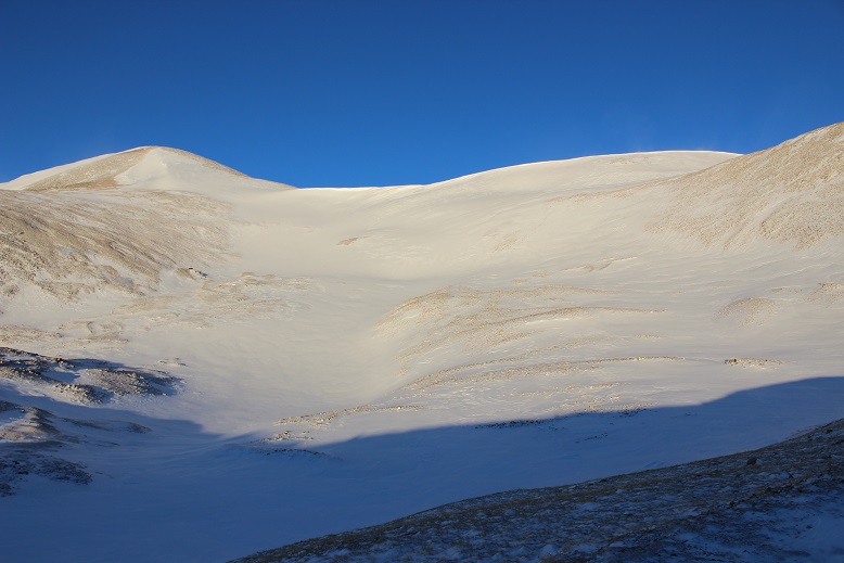
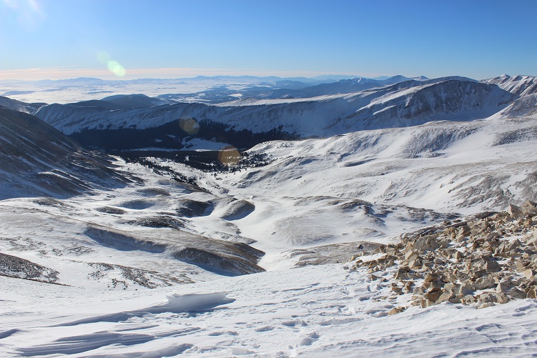
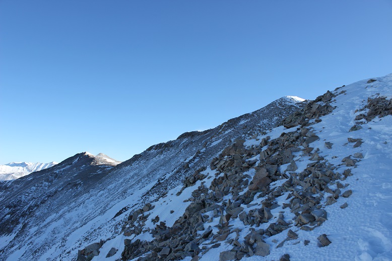
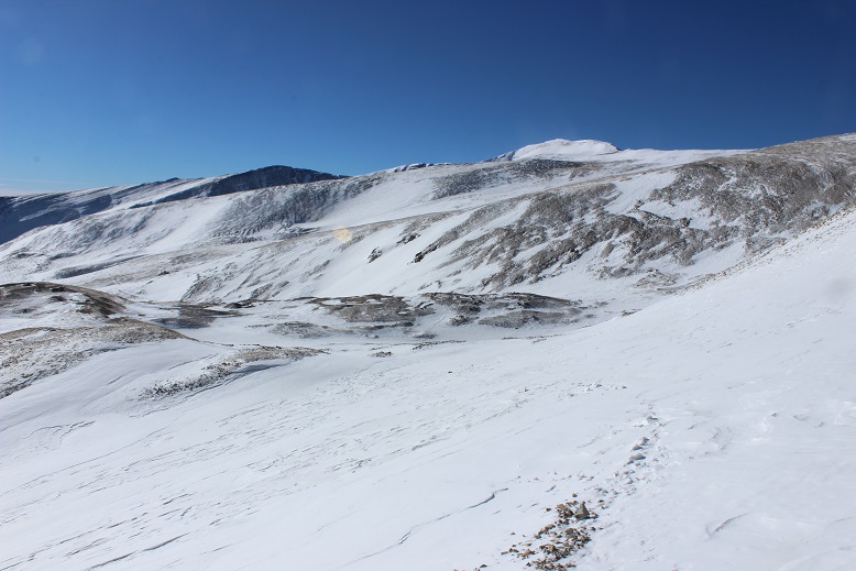
I was now in the basin. I looked at the summer route (or what I could see of it at the time) and got a little nervous: that was more snow than I’d anticipated and no ‘quick, easy way around’.
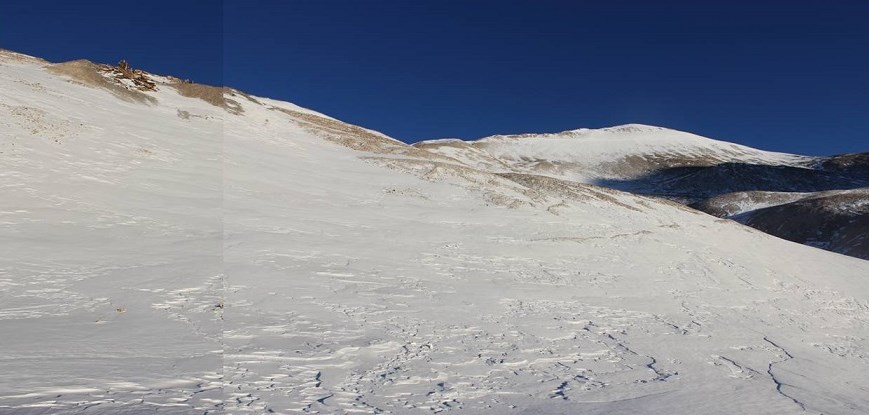
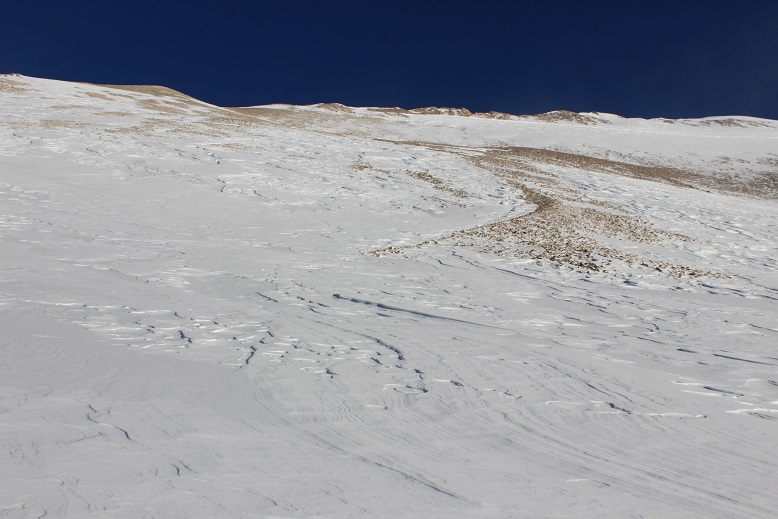
There are several routes (trails/roads?) around the hilltop mine. They were all covered in various degrees of snow, and some were too steep for my liking.
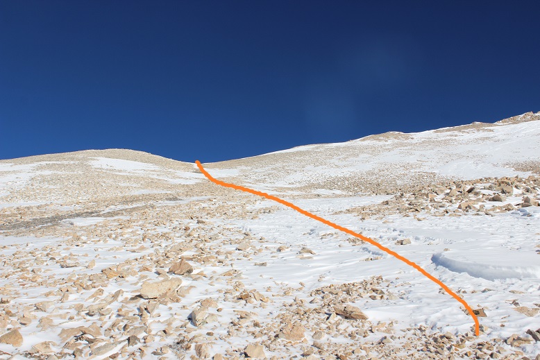
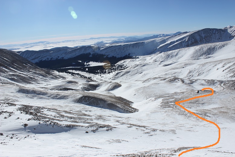
Here’s the route I took:
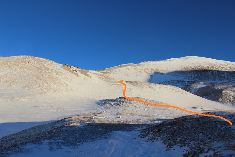
OK, so now I was in the basin and it was obvious the standard route was a no-go due to avy and cornice danger
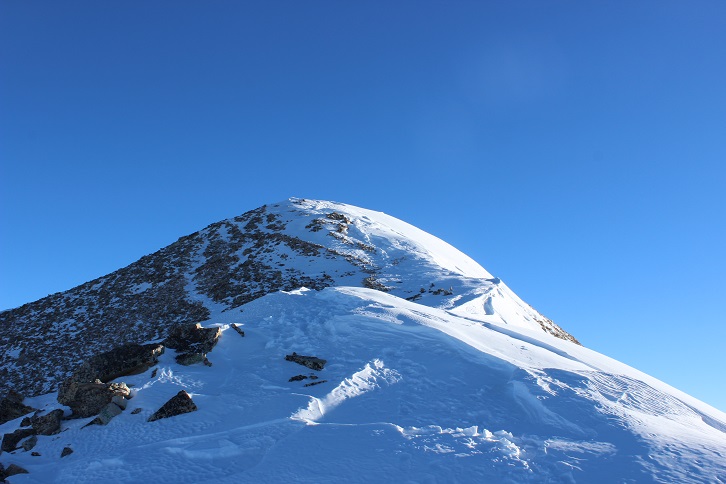
I looked at the mountain and decided I had some options. I saw what looked like a viable path up the face and through a gully, and another that went off to the right, up a ramp, and then left to the summit. I knew from previous experience the ramp was a way down from White Ridge, and I was considering doing that peak as well today, so I decided to go up the gully (solid) and down the ramp (dotted).

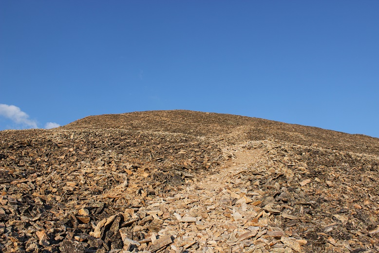
By now the wind had died down and I was starting to get warm. This was fantastic! The gully had snow, but now very much. It was just enough to provide the necessary traction on the scree (which would have been nasty without the snow).
And boy was it steep!

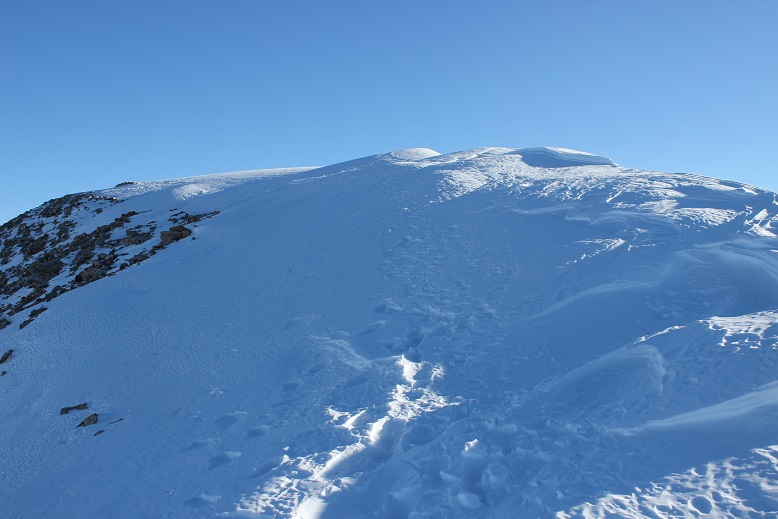
From about halfway up I had a good view of my intended route down
The route kept getting steeper and steeper but I just kept to the areas where there was snow. Towards the end I got out my ice axe for support/stability.
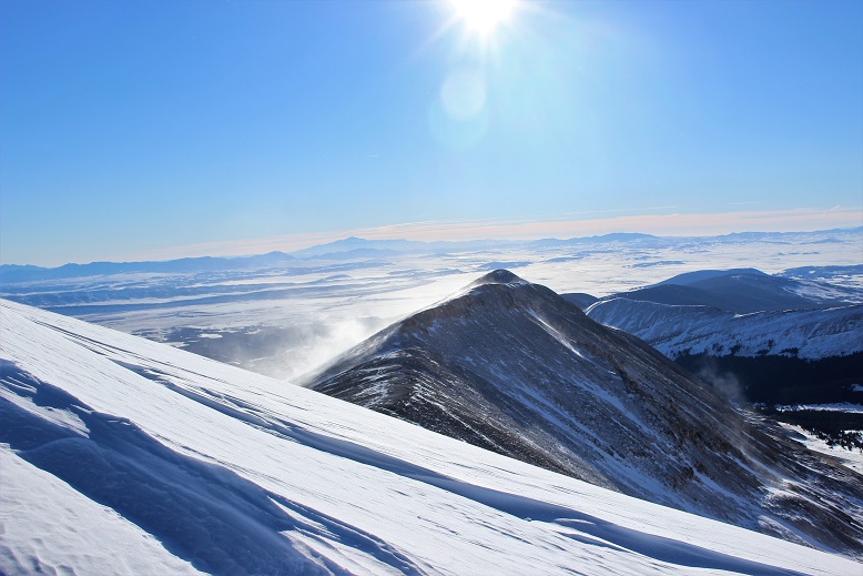
I gained the ridge and looked back on what was the standard route. Yep, it had been an excellent choice to avoid the area altogether.
From the ridge I took a look back at the basin: yes, I could have just gone the way I’d started out, but I was where I wanted to be, so this was good too.
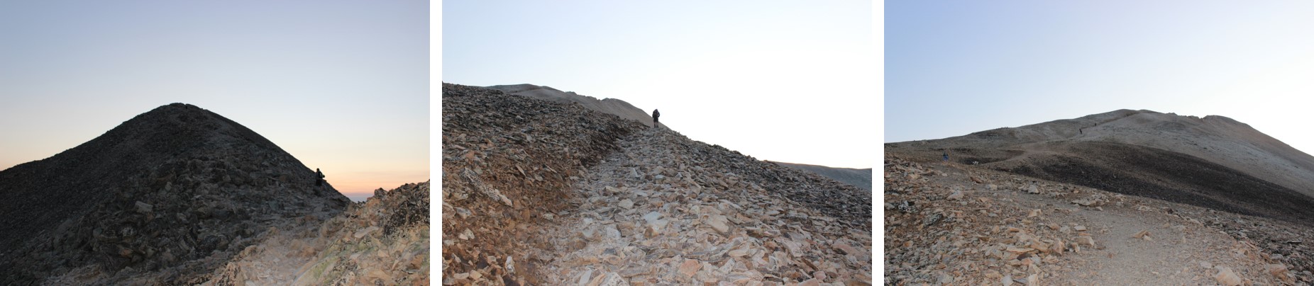
I turned north as the wind picked up a bit. Obviously others had been here recently. This didn’t look too bad

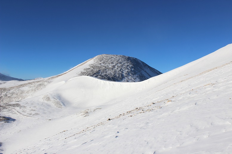
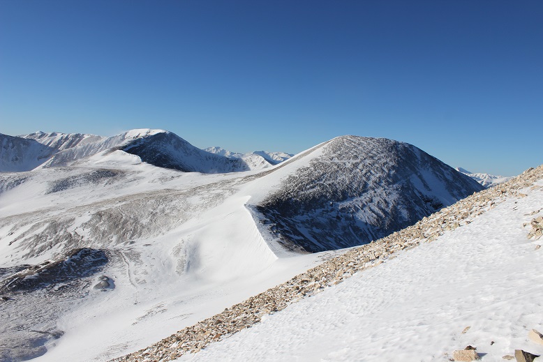
I gained one small ridge and saw what looked like more fun than I’d remembered last time I’d summited Sherman. Woot!
This was easy to cross, and as I was making my way I looked over to Gemini (another peak I was considering after Sherman)and debating if I should summit White Ridge or Gemini first?
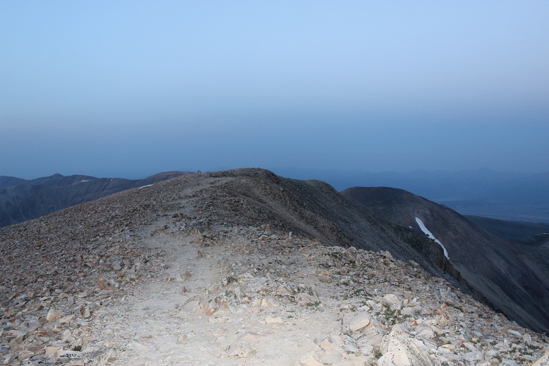
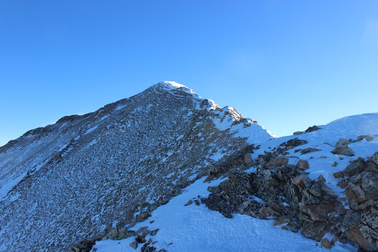
Sherman has a very long ridge to the actual summit. Here’s more proof
I stopped for a second and looked over at White Ridge. It looked like it was getting some wind!
I continued on to the summit, with the wind increasing as I went. As I stood on the summit I turned around to get out my camera and was immediately knocked over by a gust of wind. Wow! That hadn’t been expected! I got to my knees and stood up again. Wham! I was knocked down again. Ugh! So I got out my trekking pole and used it as leverage, struggling to stand and the wind continued full force. It wasn’t happening. The wind was too strong! Ok I thought, I’ll just wait this gust out. But it didn’t stop. It became a sustained wind that didn’t seem like it was giving up anytime soon. There was no way this was the forecasted 30mph gusts. I’m not sure the speed, but it had to be pretty significant if I couldn’t stand. There was no way I was going to attempt Gemini or White Ridge in these conditions. It looked like I was heading back the way I’d come.
I couldn’t stand so I got out my ice axe and crawled back towards the ridge. This was a good and bad idea: I was making progress towards the ridge, but holding the ice axe was brutal on my hand. Note to self: bring something to wrap around my ice axe to work as a barrier for warmth between my glove and the axe, as gloves (mittens) don’t cut it. I noticed I couldn’t feel my fingers. This happens to me a lot, but this was the worse it’s ever been, and I got scared. Really scared. I was breathing fast and my breath froze my balaclava stiff. This meant I was now having a hard time breathing in and out of it due to the barrier. Wind chill is no joke.
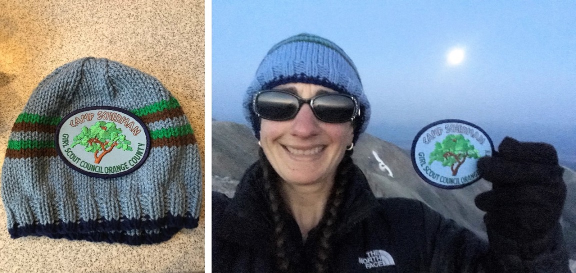
I had to get out of this, and fast. I kept crawling down the ridge, hoping the wind would let up. It didn’t. Me being me, all I could think about was not getting a picture on the summit. I told myself there was no way I’d have been able to because the wind would have blown my camera away, but I still wanted one. I made my way to a rocky area that provided some shelter from the wind and took a selfie (kind of). I wasn’t on the summit at this time, but I was close, and it was the best I was going to get.

The camera wouldn’t focus due to the wind, and I thought it weird there was so much blowing snow on White Ridge but none on Sherman. The wind was insane but it wasn’t blowing any snow. I actually would have preferred blowing snow in a way because then I could have seen the wind coming towards me and anticipated the blast.
I put my camera away and while the wind was still brutal I was able to stand up. My fingers were seriously bothering me. I’d been trying to pump them back and forth but I wasn’t sure if it was working because I couldn’t feel them, and there was no way I was taking off my glove to check them out. Just before making it to the end of the ridge my fingers started burning intensely, as if I were touching a hot stove and not pulling my fingers away from the heat. The pain was extreme but I was relieved because this meant the blood was starting to flow through them and it also told me I hadn’t done any permanent damage.
I trudged back to the gully and started my way back down, pulsing my fingers the entire way. The initial descent from the ridge through the gully is very steep. I faced the mountain and used my ice axe. About 50 feet from the ridge the wind finally stopped and never started again. By now the sun had warmed up the snow in the gully, making it not quite slushy but still slippery.
Once I’d made it back to the basin I headed towards the hilltop mine.
And then followed my snowshoe tracks back down the mountain
By now my hands were sweating in my gloves, but I still didn’t want to take them off: the tips of my fingers hurt in a way they never had before and I wanted to keep them covered for as long as possible. I kept pulsing them and thinking to myself: now I know where my limit is. I can do cold to a certain point, but I cannot do wind chill. When I got home I looked it up, and if it were 10* on the summit (the forecast high had been 12*), after 40mph the wind chill stays constant at -39* up to 60mph winds. I learned today that’s too much for my body. From now on I cannot go hiking above treeline if the winds are forecasted over 25mph. I just can’t, and I need to hold myself to that. Also, I’m pretty sure the forecast had been wrong in this case, and if I’m honest I kind of knew this going in since Sherman’s forecast was so much better than every other mountain in the area. It had been too good to be true, and if it seems too good to be, it probably is.
Back to the trip report. The Dauntless Mine takes on a whole new quality with snow
I followed the road back to my truck, meeting a few hikers along the way. At one point it looked like someone had tried to drive further up the road past Leavick and had second thoughts. Instead of turning around it looked like they’d backed up down the road.
As I was walking the 2WD road back I was so warm I took off my balaclava and gloves about half a mile from my truck. My hands were swollen and sweaty and red and sore, but no blisters! It was warm and there wasn’t any wind so I kept my gloves off to let my hands dry out. I made it back to my truck at 10:15am, making this an 8 mile hike in just over 4 hours.
When I made it back the white truck was still stuck and there was one other vehicle in the area.
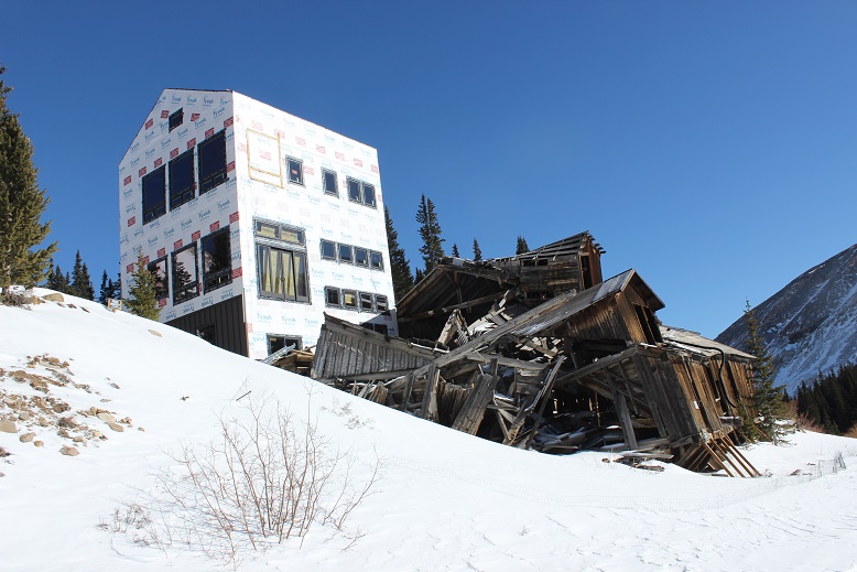
They’re still building a structure at the Leavick site. I’ve been told it’s a home but that sounds questionable to me. And creepy: the old structure creaks and groans with the wind continuously at night.
OK, let’s talk about the drive out. I wasn’t looking forward to driving those first 4 miles, but I was looking forward to them being over. After about a mile I came across a Jeep heading up the trail. Ugh! One of us was going to have to back up, but then the driver did something I hadn’t expected: He did what I’d done this morning to make a parking space, and drove up and down and up and down about a dozen times to make a spot for him to park and me to drive around. I slid around him with less than an inch to spare (and I mean this in more ways than one as despite being on my A-game I wasn’t 100% in control of the vehicle the whole time). I took a deep breath. That had been very, very close. I couldn’t believe I hadn’t hit him or gotten stuck on the side trying to pass, and I wasn’t entirely sure he could make it out of his ‘parking spot’.
Almost immediately after passing the Jeep I saw another vehicle coming towards me and thought “Oh no! Not again!” But this guy did something unexpected as well: He started backing up, quite efficiently, and didn’t stop for 2 miles! Even though I’d had the right of way he’d done the backing up. I was so grateful (and told him so when I was finally able to pass him). Once again, THANK YOU! You kept us both from potentially getting stuck. As a side note, whenever possible I used my truck to make the ruts in the road wider because it can do that kind of thing. Have I mentioned I love my truck?
Ok, let’s talk damage to my hands (and feet). I had indeed pushed them to their limit, but they aren’t permanently damaged. The tips of my fingers feel very raw, similar to how the little red sores you get on your feet feel after being in the pool for too long and rubbing your toes along the side. The tops are all red, and there are small blisters and lines under the tops of my fingernails (kind of like when you bend your nail backwards below the nail plate. Last night it felt like I had blisters all over the tips of my fingers (but no actual blisters present). My left pinky toe once again took the brunt of the hike: It’s swollen to twice its size, a fun purple/black color in the middle (not frostbite, but pretty bad chilblains, which are a consequence of Raynaud’s meeting cold) and very, very tender to the touch. I couldn’t get a shoe on today. Here’s a positive note: I teach wilderness first aid and we use aloe to treat frostnip (NOT frostbite). Since my chilblains have similar symptoms I put aloe on them, and it instantly felt the same relief as if I were cooling a sunburn. Woot! What’s even better is it’s not medicine so I can apply it as often as I’d like!
The Mt Sherman Summit Sticker can be bought here