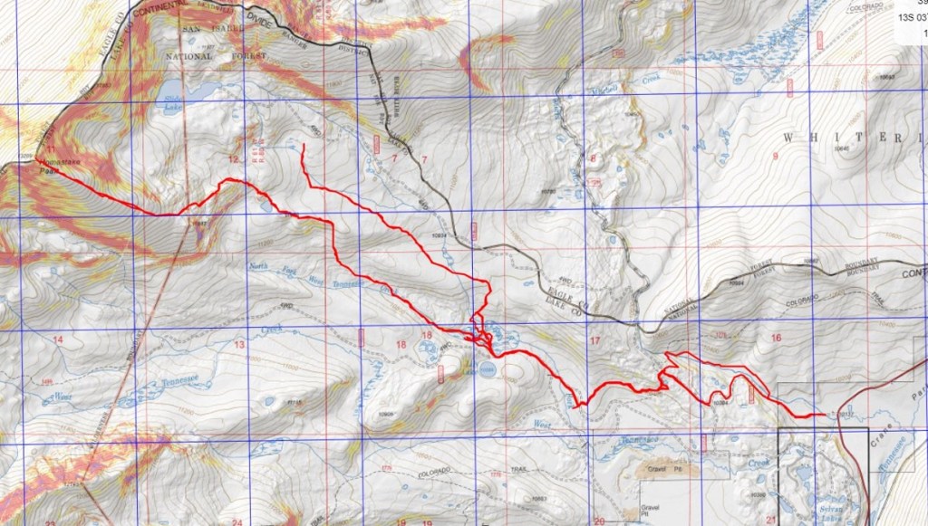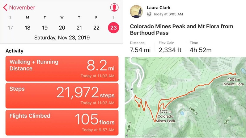
RT Length: 1.02 miles
Elevation Gain: 425’
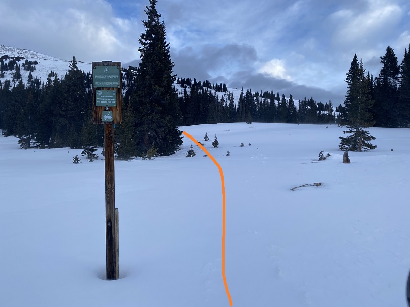
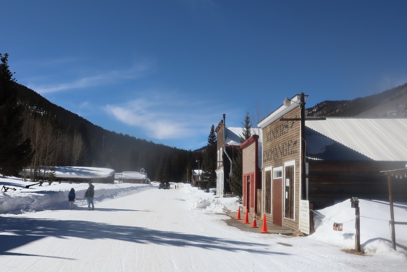
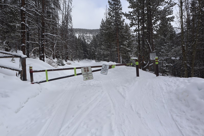
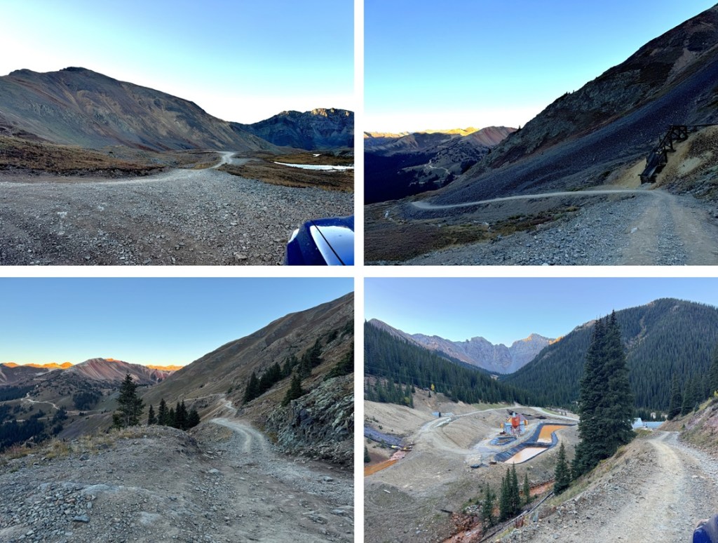
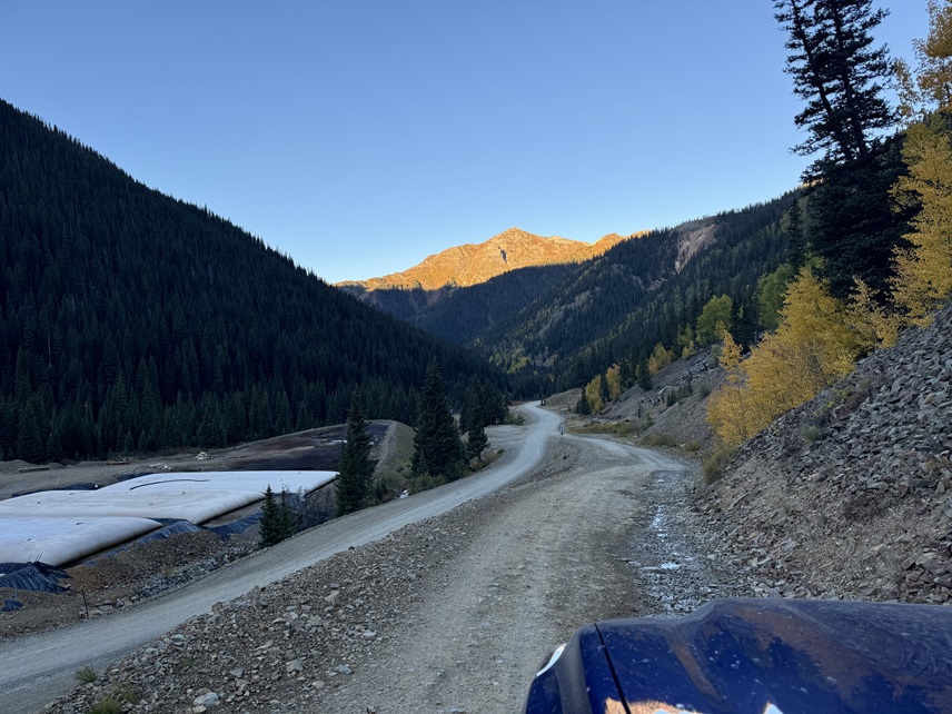
I parked at the Gladstone Mine off 110 outside of Silverton and contemplated my options for the hike the next day. The weather forecast was calling for rain and snow the next morning but amounts and times were varying. I don’t like driving up 4WD roads. It’s not the driving, it’s the oncoming drivers I don’t like. Most are nice, but a few are jerks and make passing people an experience. I decided to spend the night in my vehicle at the junction with 110 and 10 outside of the Gladstone Treatment Plant near Gold King Mine and make my final hiking decision the next morning.
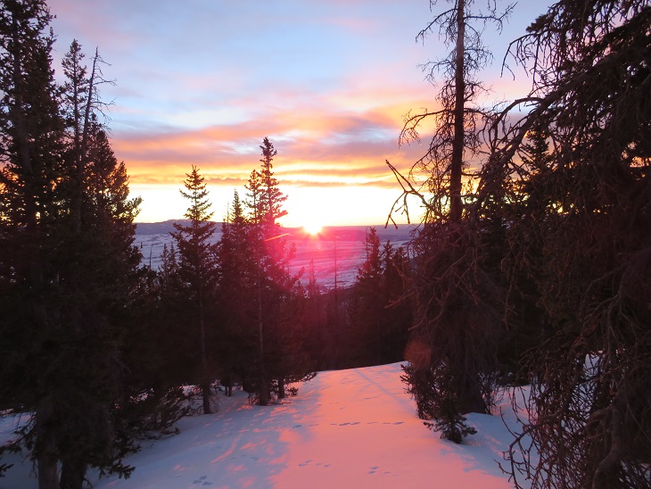
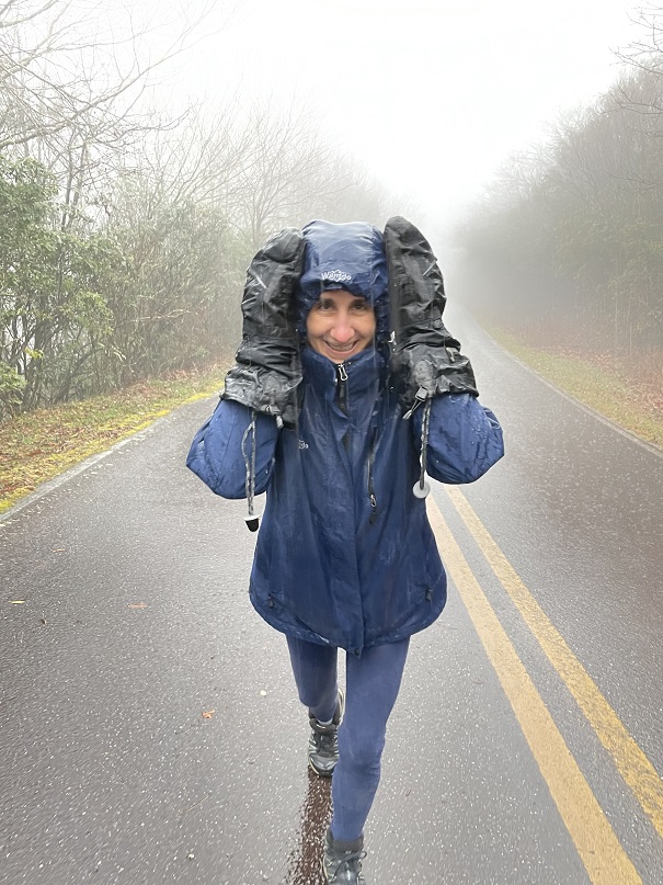
I woke up at 4am the next morning to clear skies, but it was cold and windy. I warmed up in my truck for a bit before starting my hike. I got about 100 yards into the hike and said “this is too windy for me!” and hiked back to my truck to warm up. The wind chill was bitter cold.
The past few weeks had been difficult for me mentally. I’d done a lot of backpacking and had to turn around on a lot of peaks due to weather. I homestead (basically, if I don’t raise it, shoot it, or grow it, I don’t eat it), and I have difficulty eating while hiking/backpacking, meaning while I get a lot of protein, I don’t get a lot of fat in my diet.
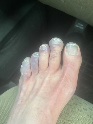
Last week my husband got 2 elk, so I took a break from backpacking to help him process the meat. When he saw me again after being gone for a while he mentioned I’d lost about 10 pounds, and needed to put on more weight. To put it in perspective, I weighed 105 pounds before and was down to 95 pounds. At 5’4”, this isn’t a good thing. I don’t have the fat reserves to keep me warm, which is a major problem with my Raynaud’s. I tried to bulk up when I was home, but I wasn’t able to gain 10lbs in 2 days.
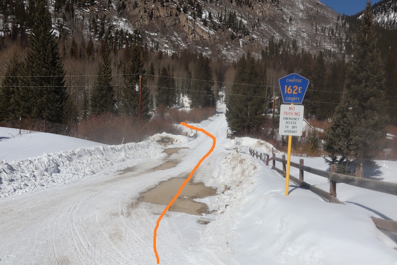
Losing weight and having a handful of failed summits that I should have been able to climb (darn weather!) put me in a moody mental state. So, this morning I was unconsciously looking for any excuse to just go home, and the cold, windy, and potentially snowy weather was giving me that excuse. I knew the wind was blowing in a storm that would hit full force later that day. That’s why I chose something easy for today: I didn’t want to get stuck in a storm. I sat in my truck for a bit trying to will myself to get out and hike when I decided to just drive up the dirt road to see how bad it would be. After all, it was now 5am, and I’d most likely be the only one on the road. I headed up 10:

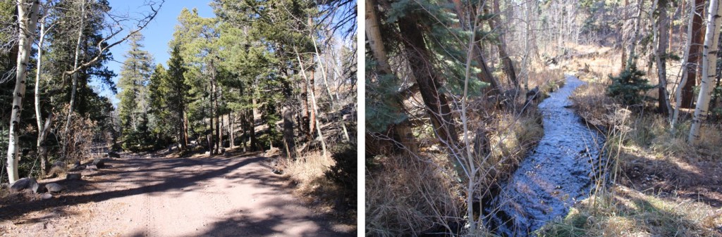
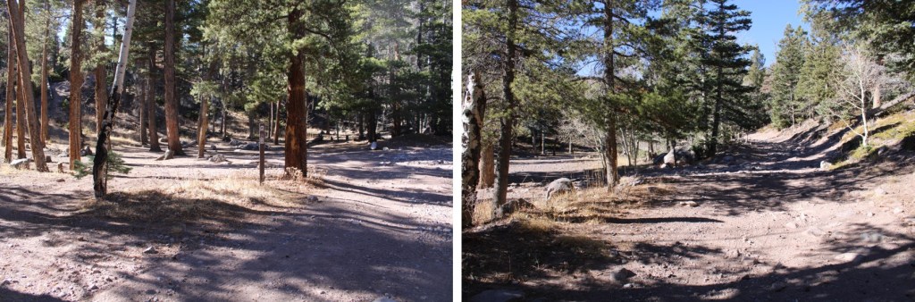
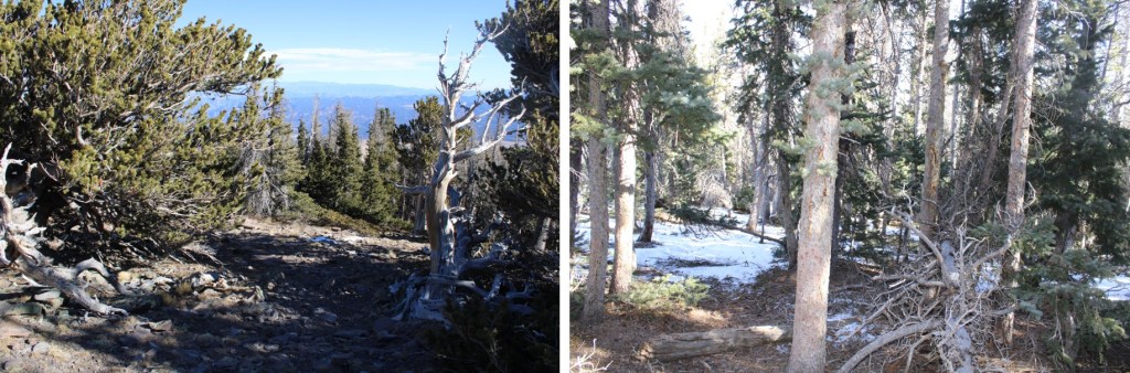
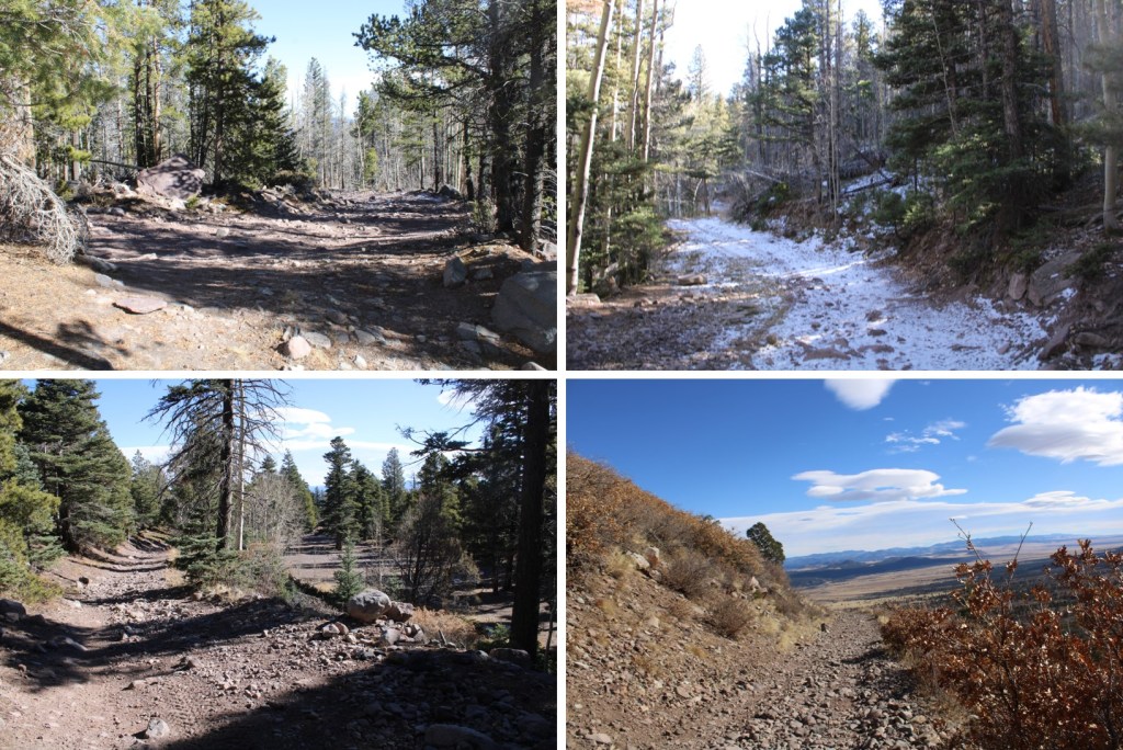
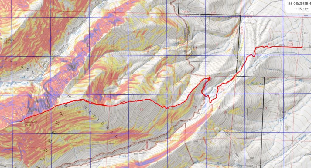
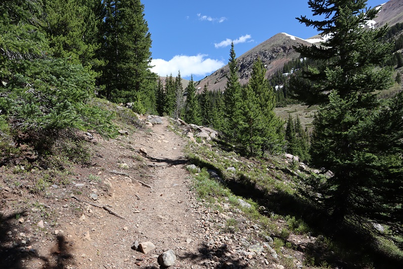
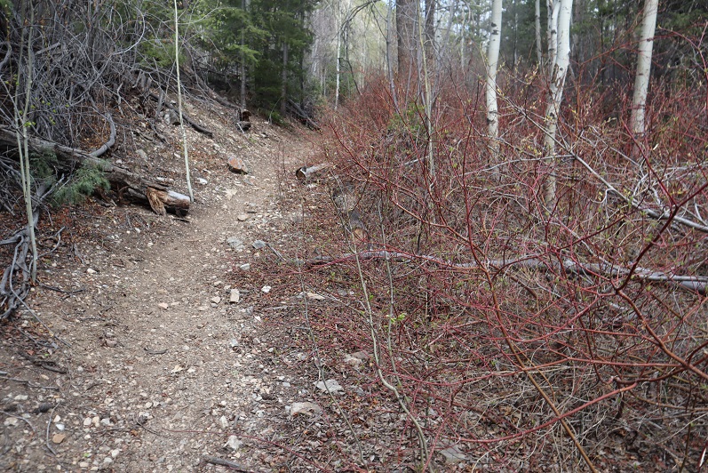
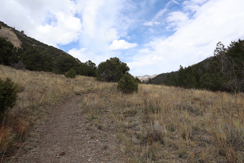
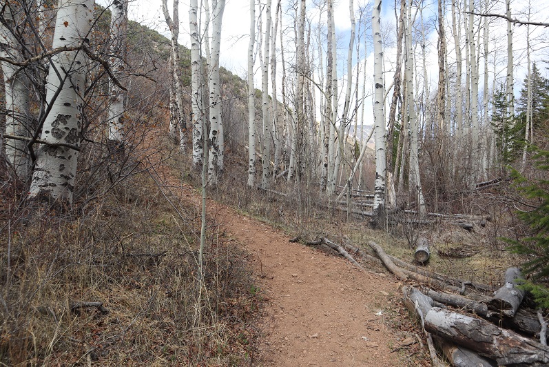
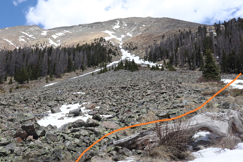
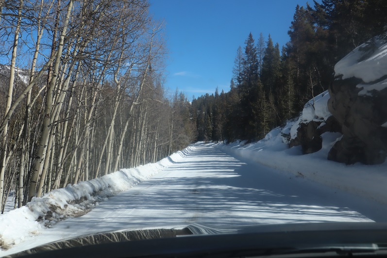
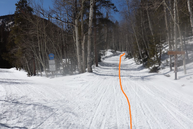
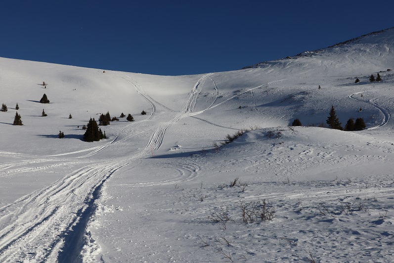
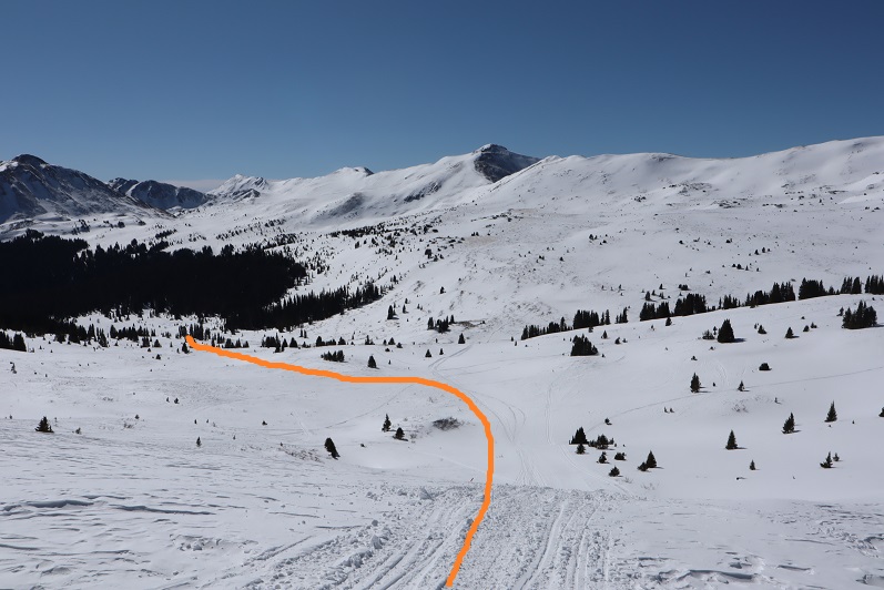
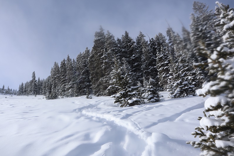
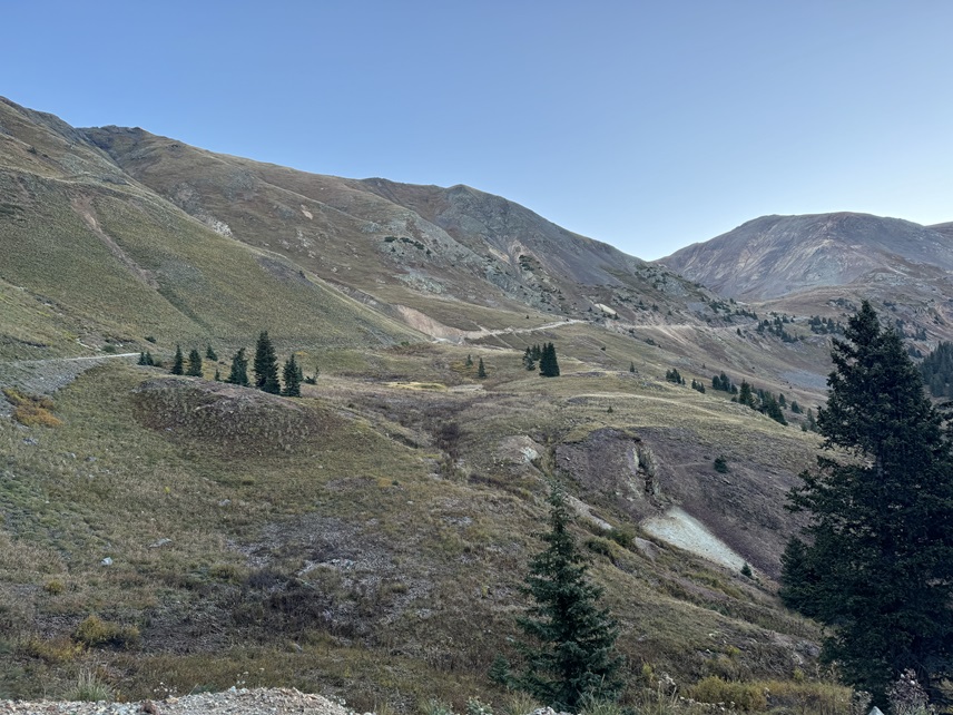
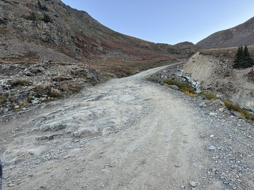
For those of you wondering, the road isn’t that bad. It’s doable in a high clearance 2WD with a capable driver. I followed the road 3.68 miles north to an unnamed pass at 12900’ to the east of Lake Como. (For those of you hiking this, it’s 2419’ of elevation gain). This is a bit of a shelf road in areas, but it’s wide and there are plenty of places to pass oncoming vehicles.
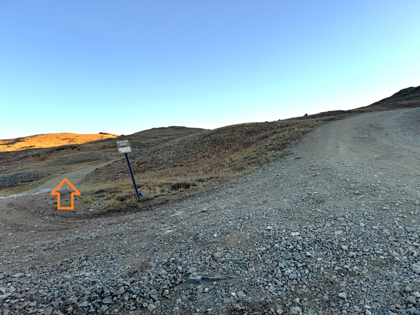
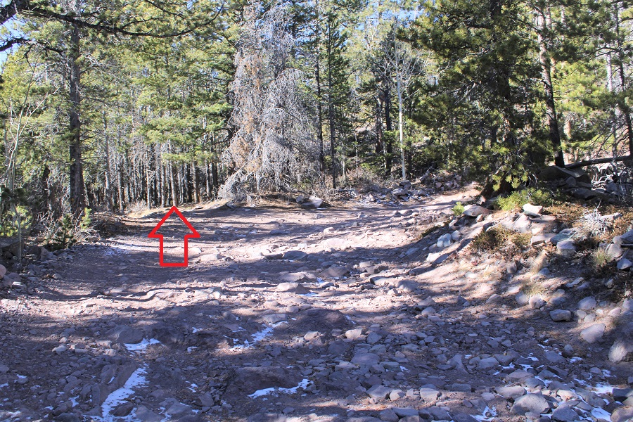
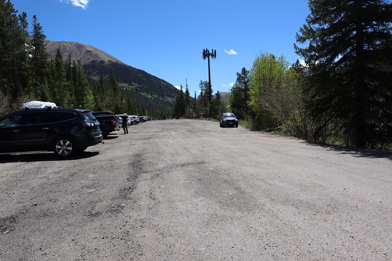
There was a parking area at the pass, so I parked and sat in my truck, waiting for the sun to come up. I could hear the wind howling all around me, shaking my truck back and forth. I wanted to use the restroom and tried to open my truck door. The wind immediately slammed it shut. My mind said: “not today” and I drove halfway back down the road, intending to just head back home. In the time it took me to get halfway down the road I’d talked myself into driving back to the pass. After all, it had been dark and I didn’t even have a visual of the peak yet. The least I could do was get a visual, and then decide. So, I drove back up to the pass.
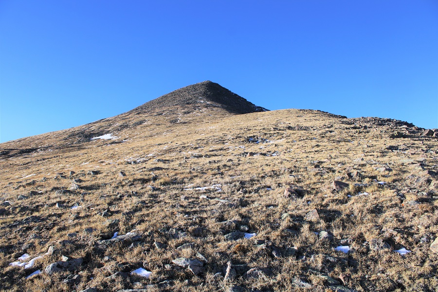
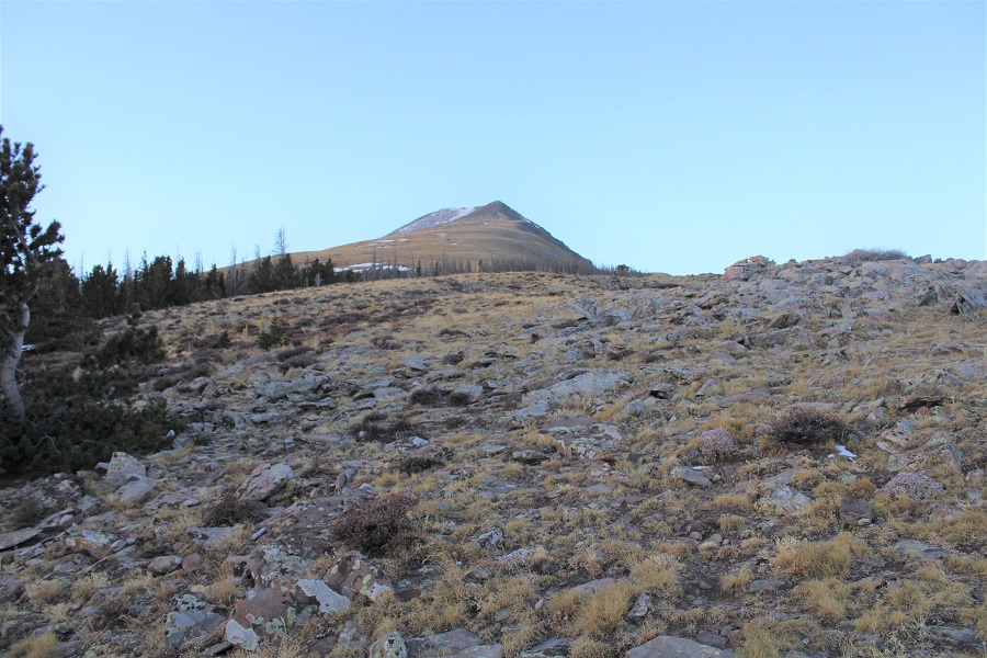
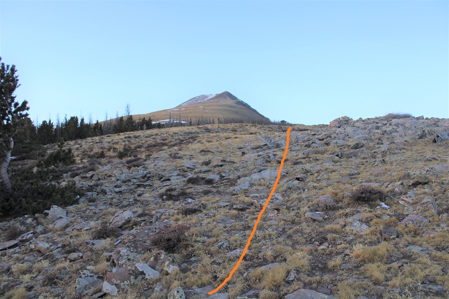
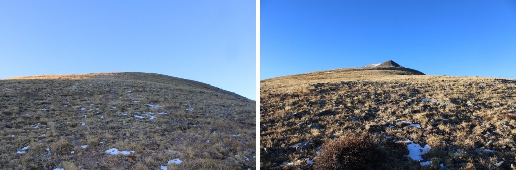
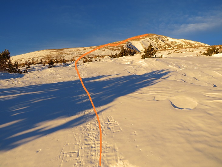
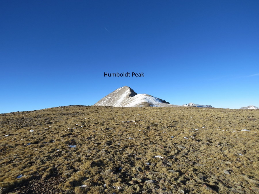
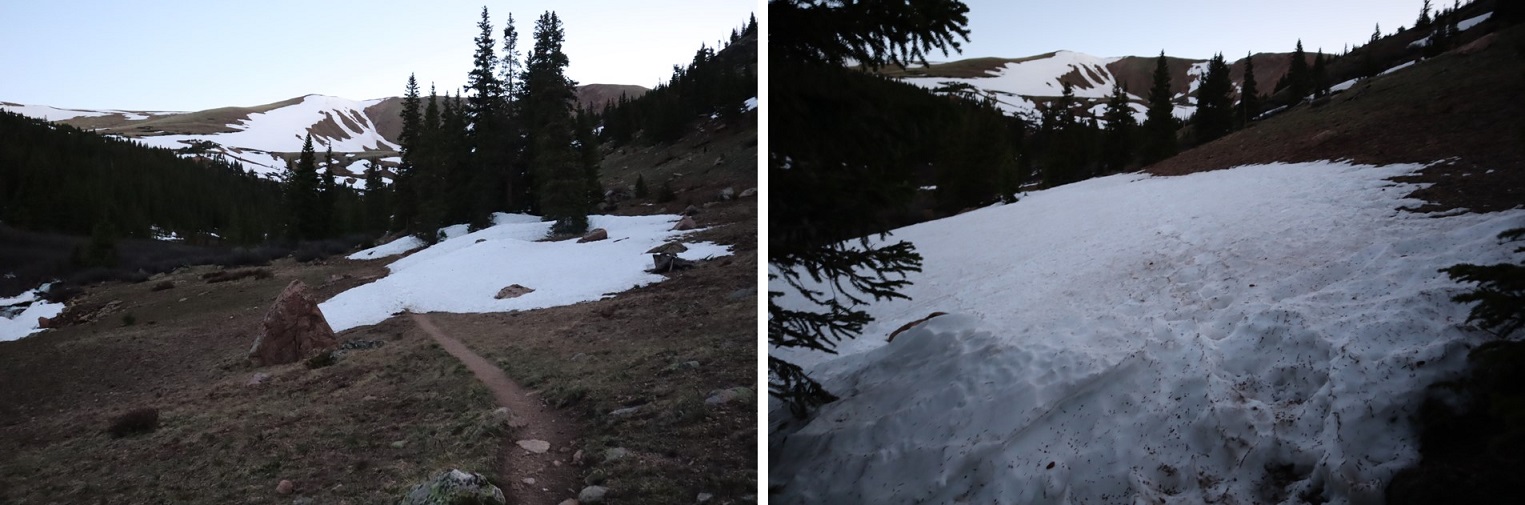
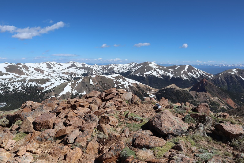
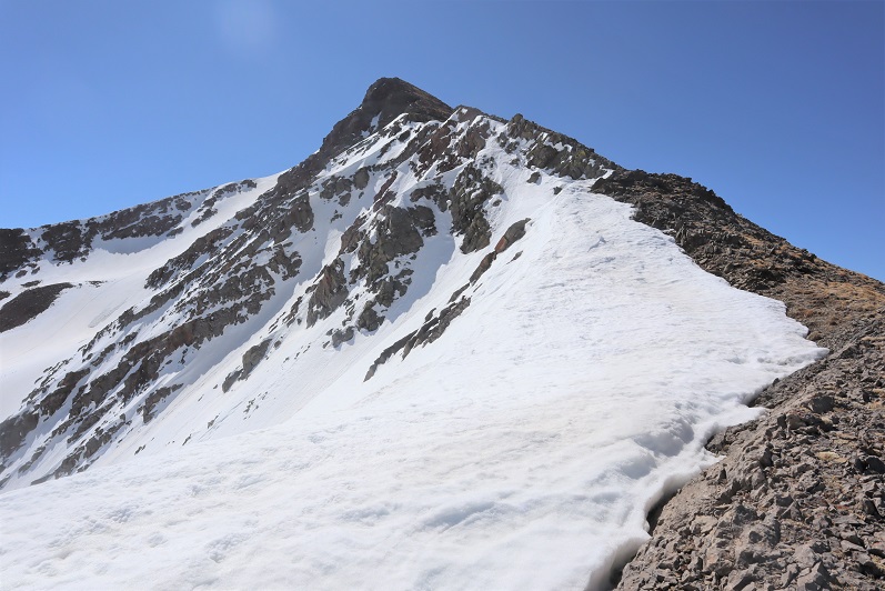
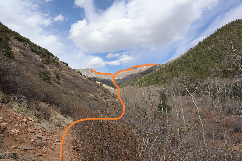
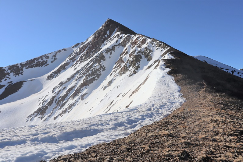
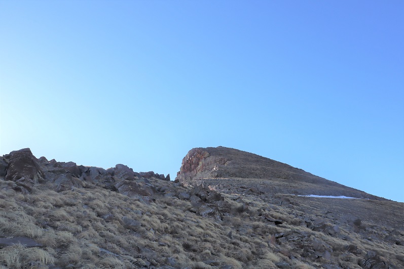
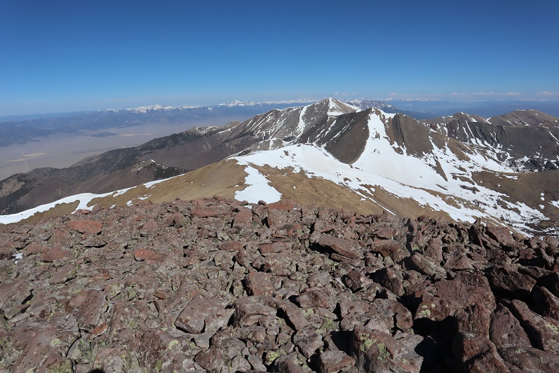
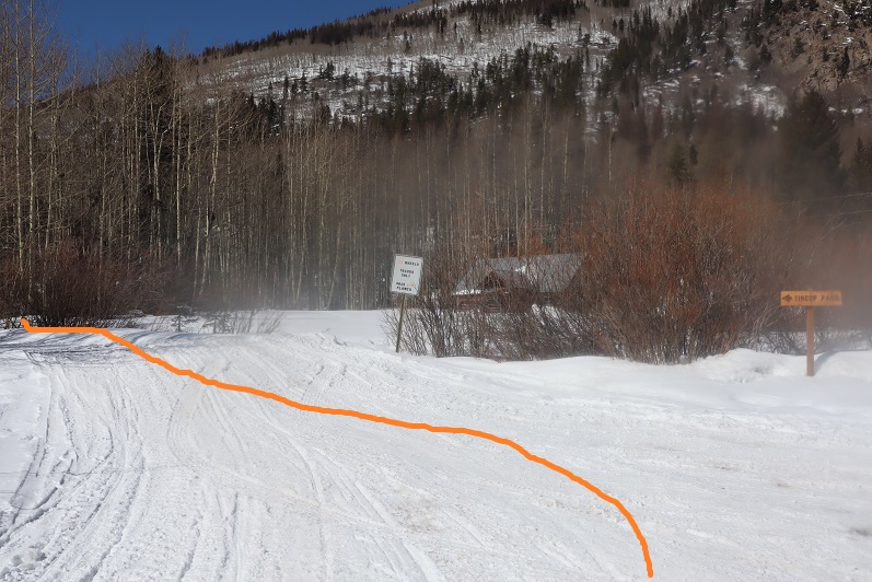
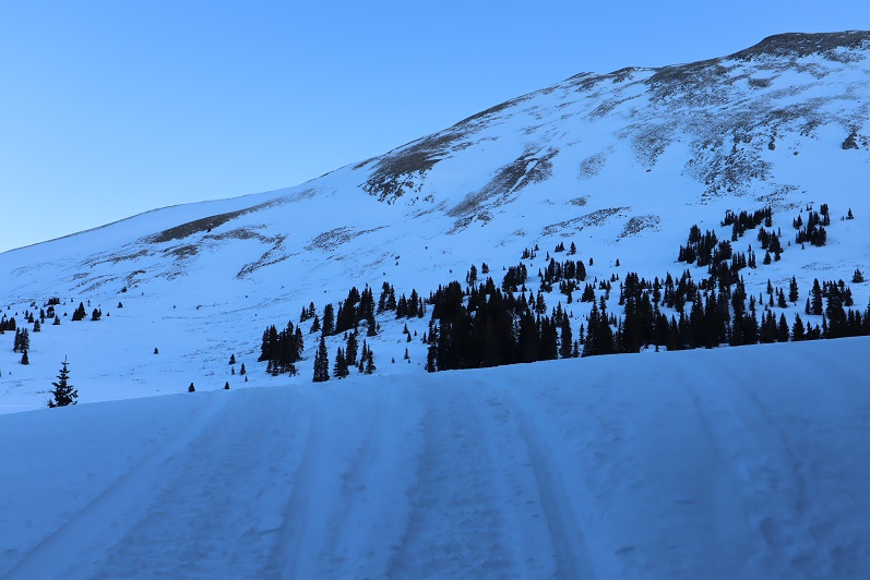
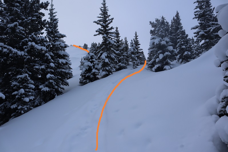
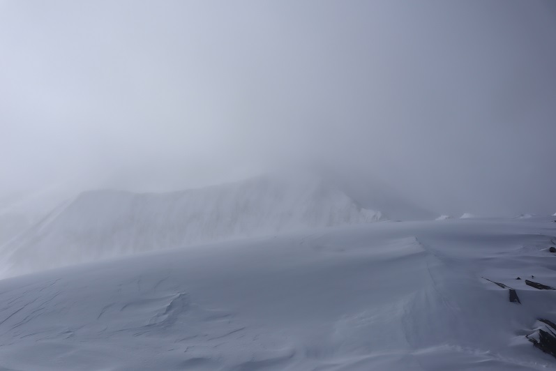
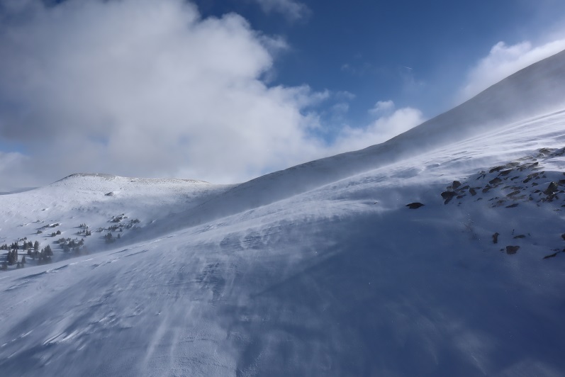
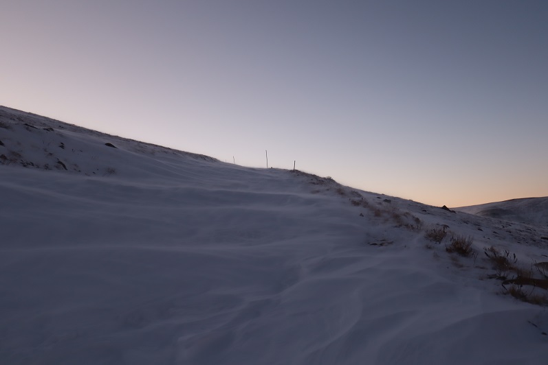
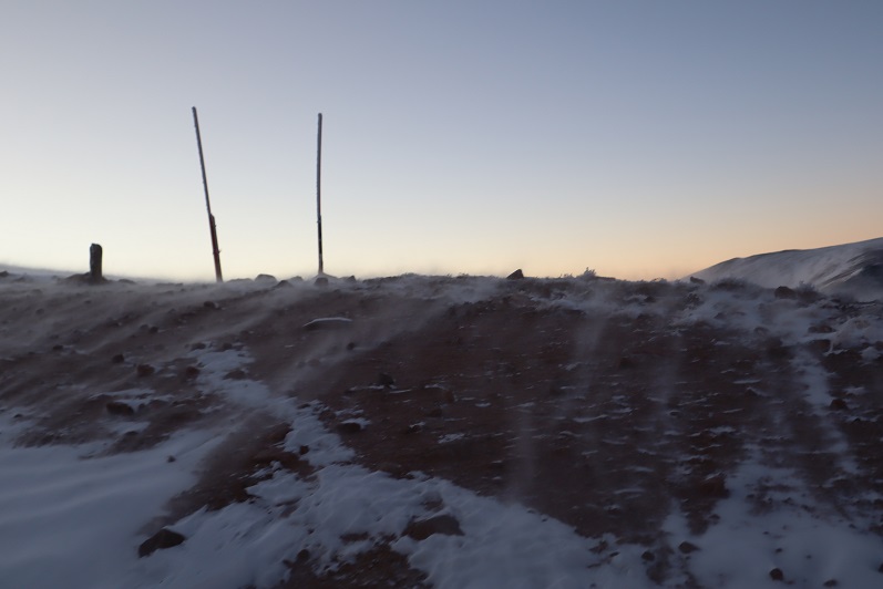
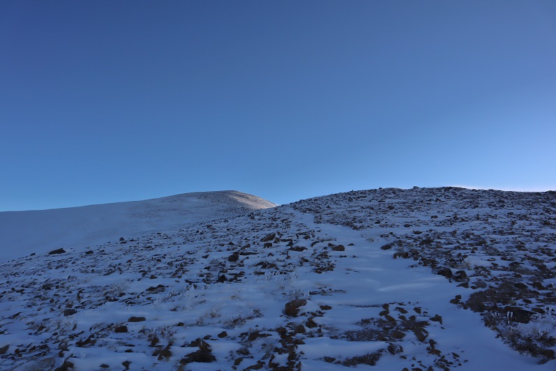
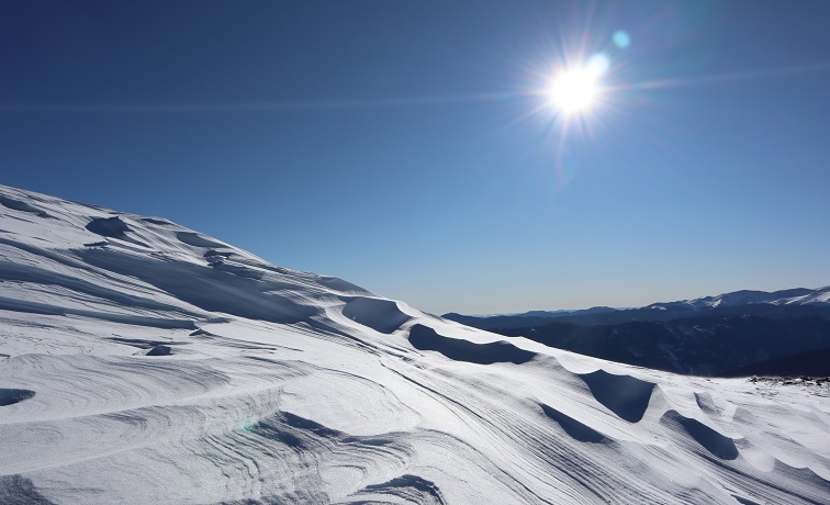
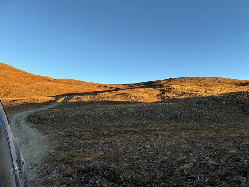
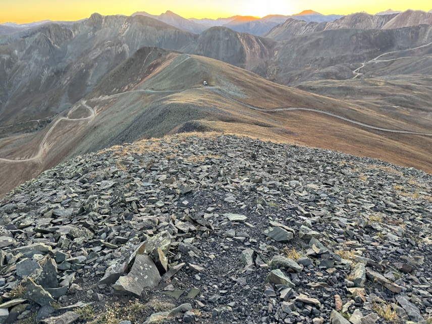
I sat there and waited for the sun to rise and the wind to die down. As soon as I could see the mountain, I realized it would be a very quick and simple summit from this saddle. I told myself the only reason it was so windy was because I was on the saddle: As soon as I ascended, the wind would stop. Surely I could brave the suck for a few minutes? At 6:35am I left my truck and headed up the ridge.
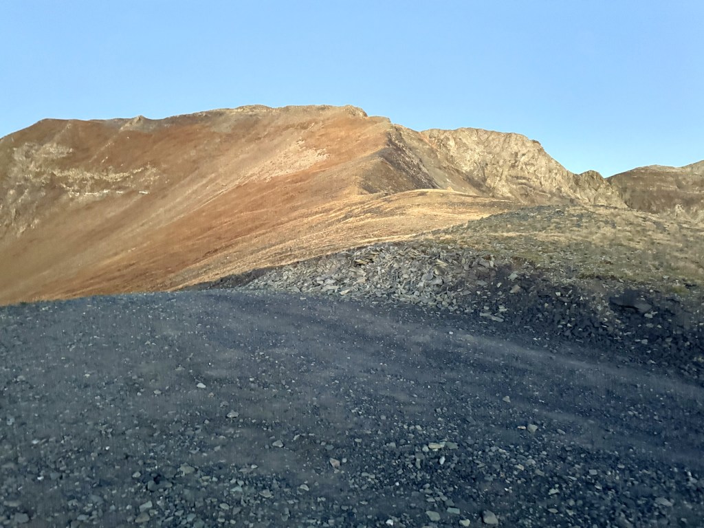
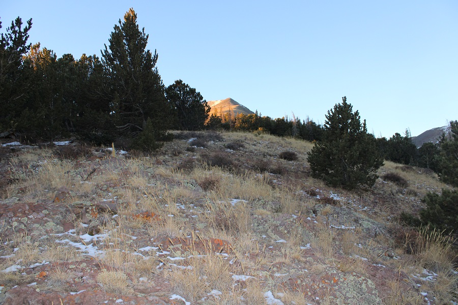
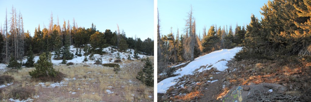
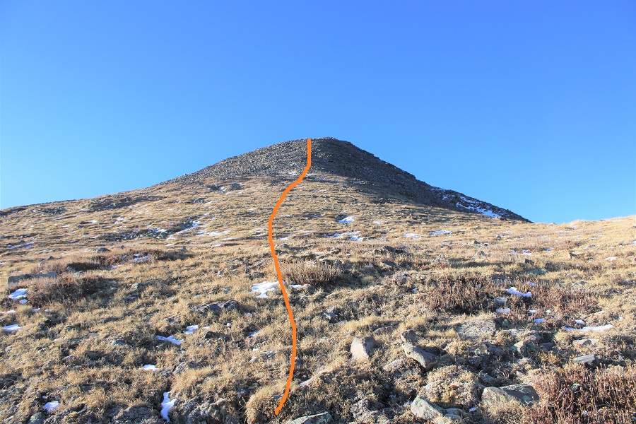
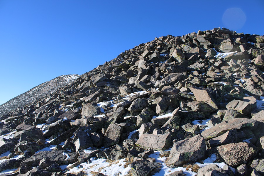
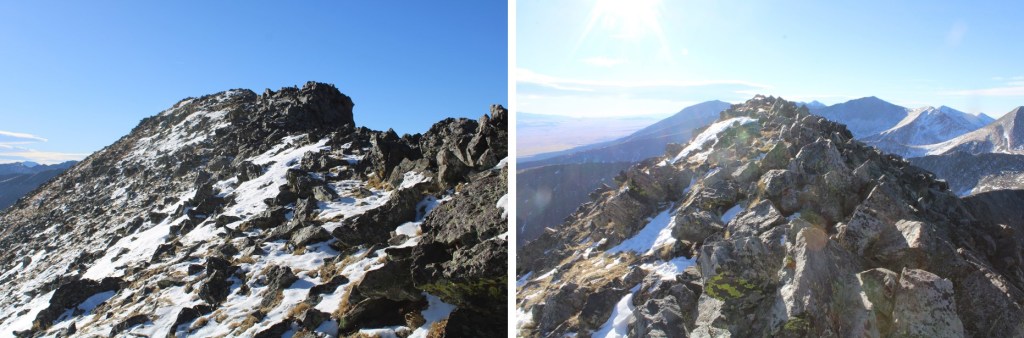
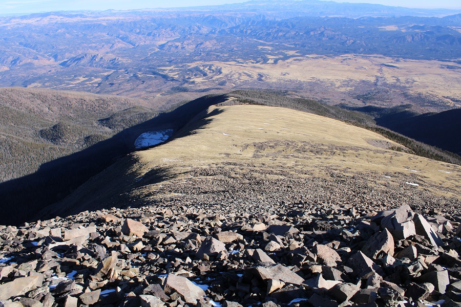
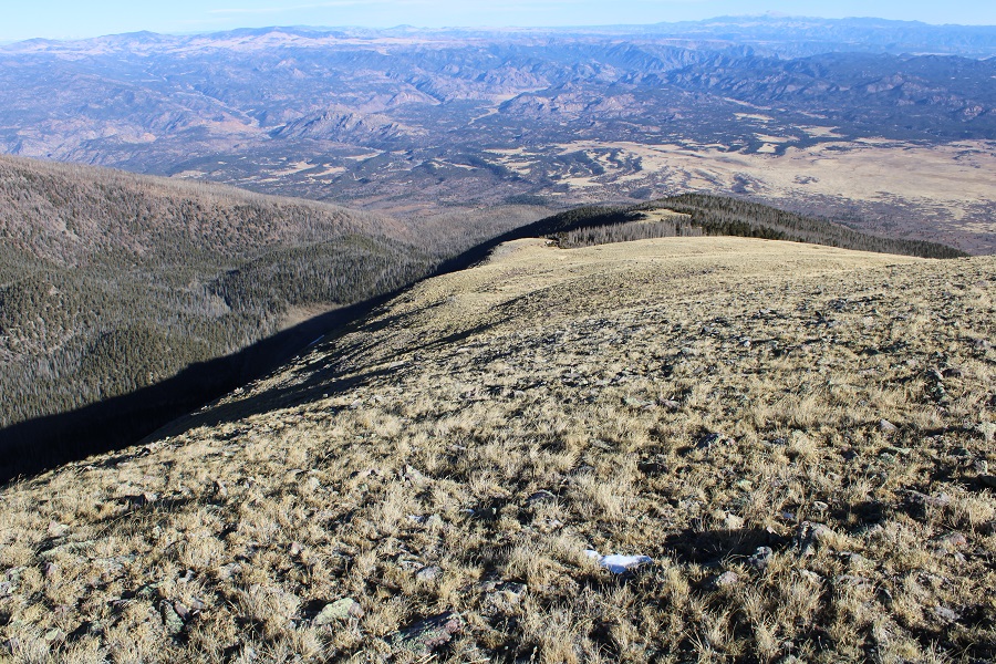
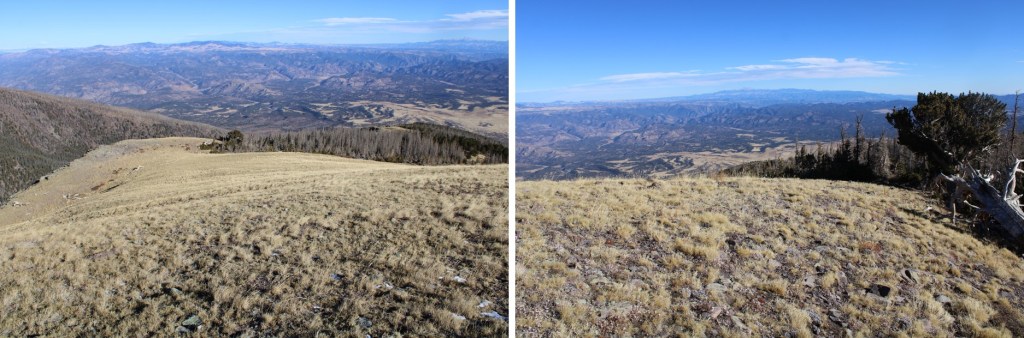
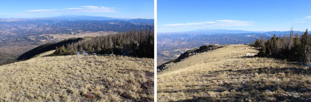
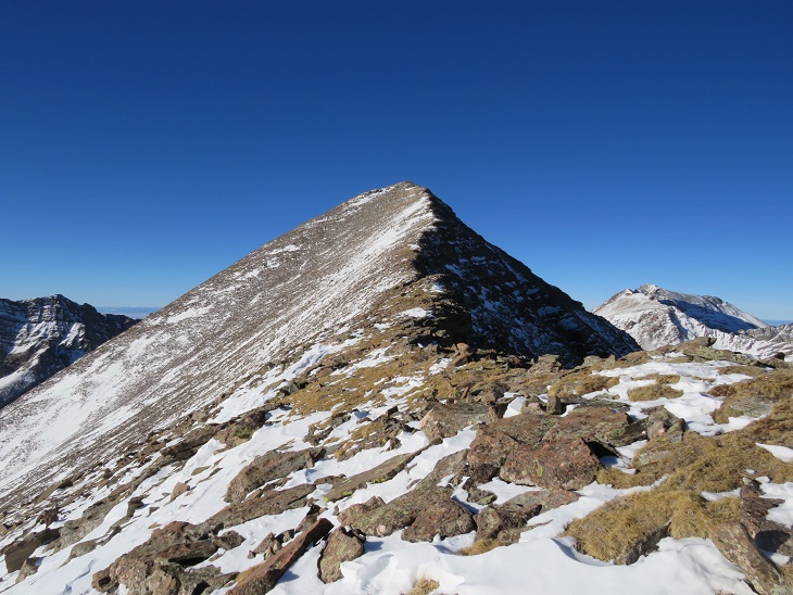
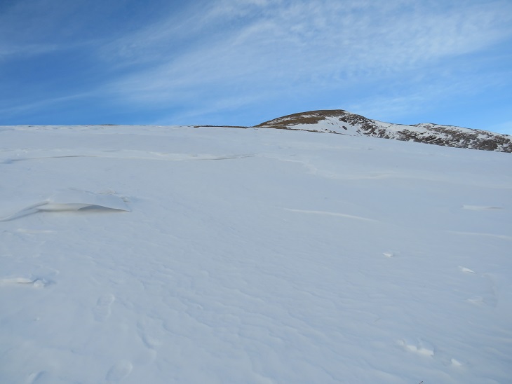
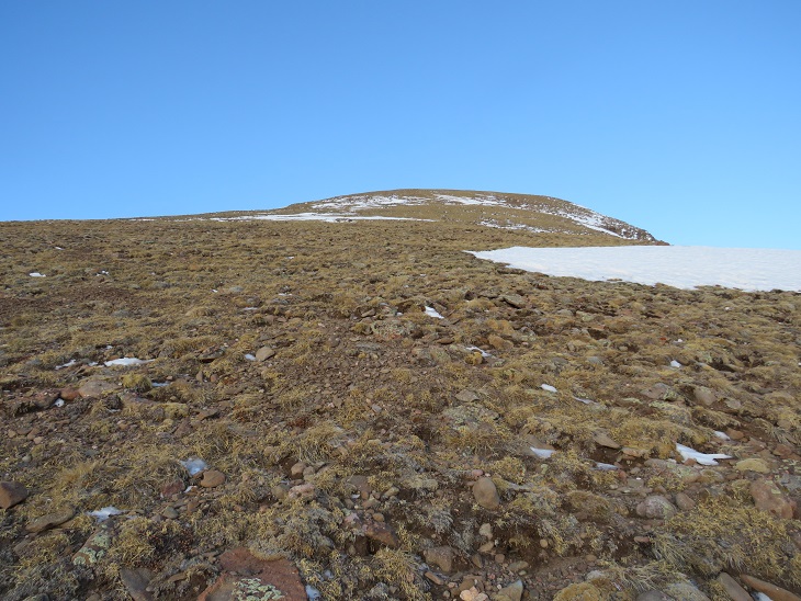
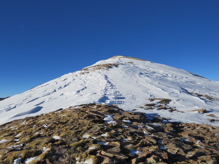
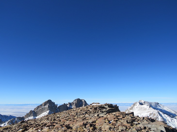
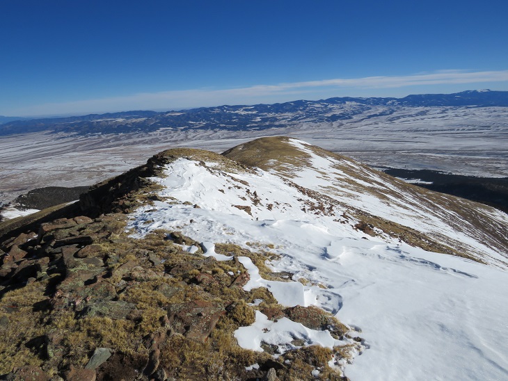
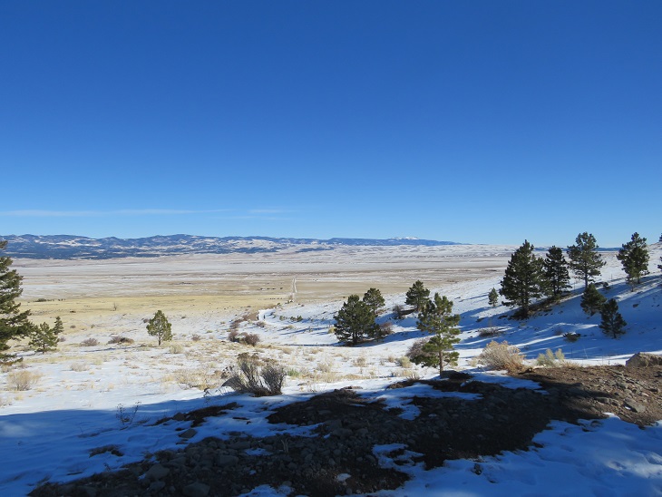
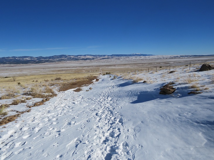
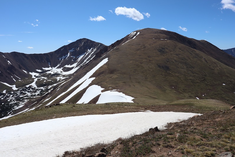
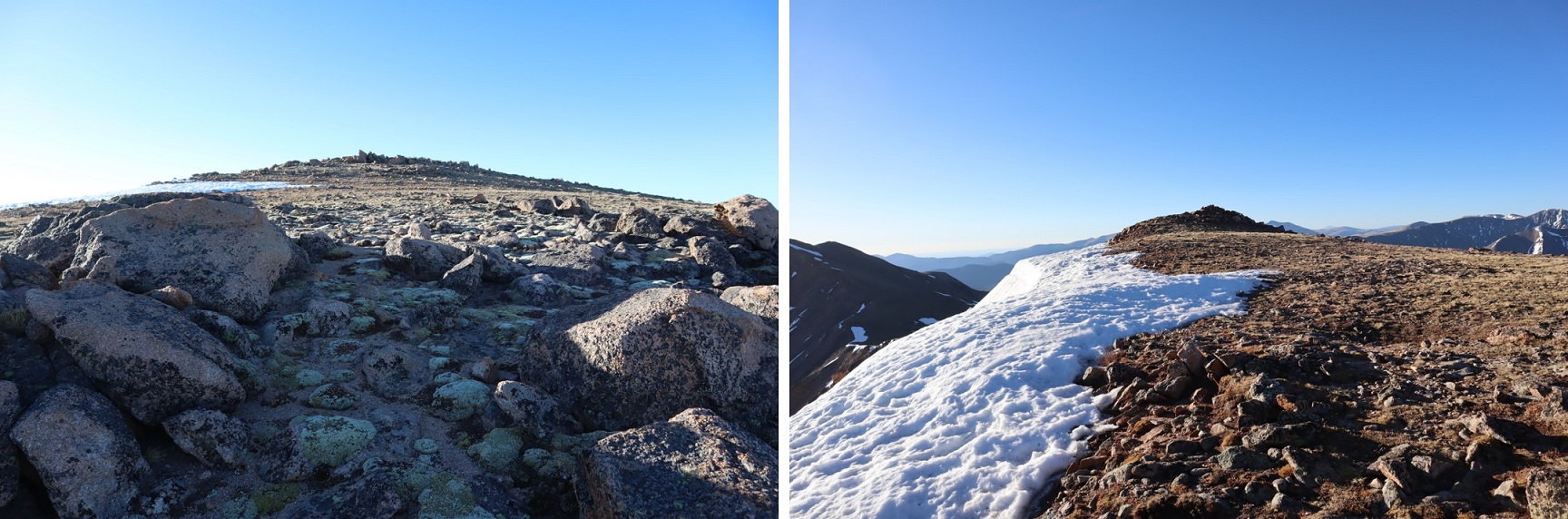
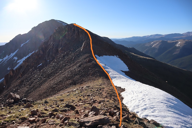
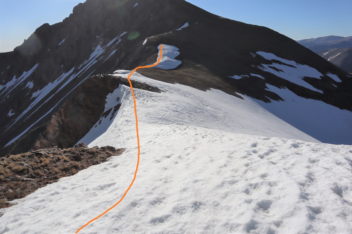
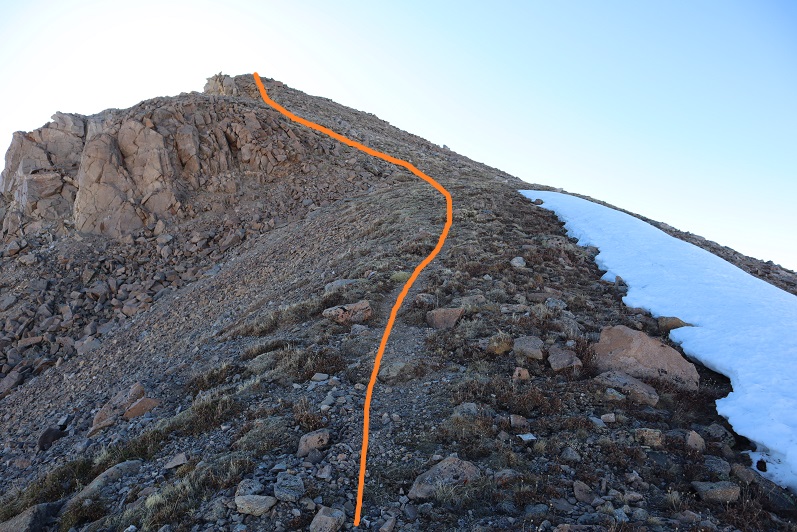
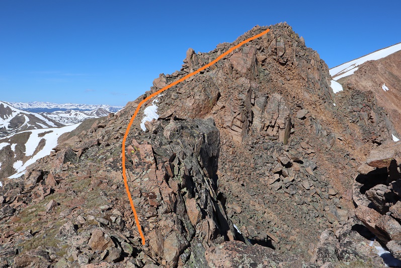
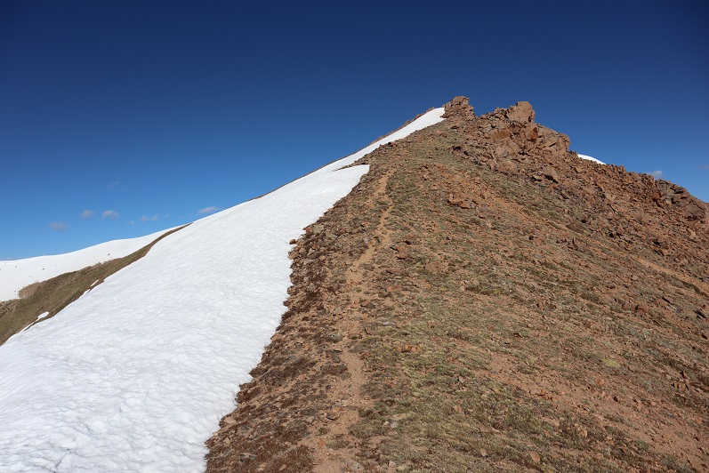
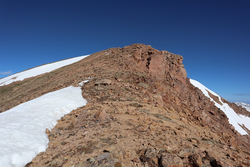
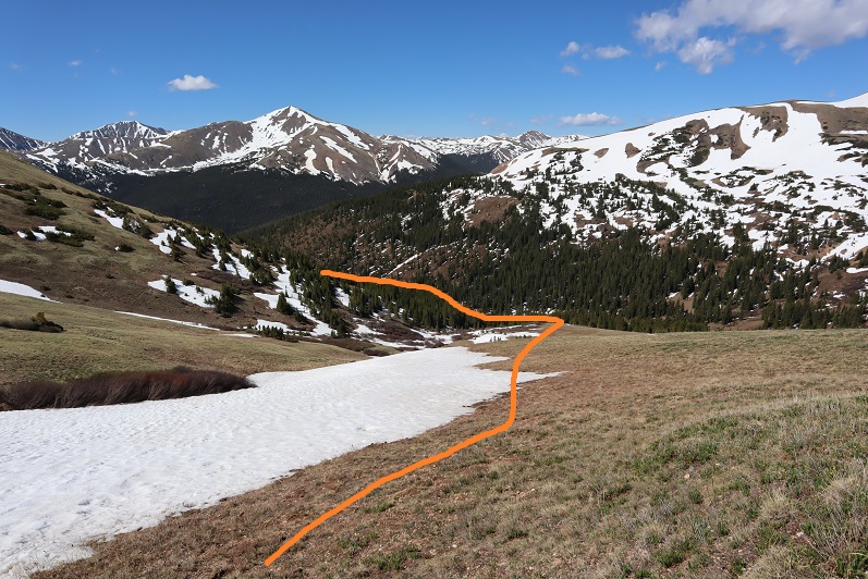
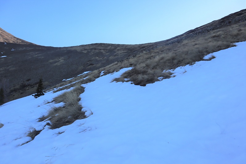
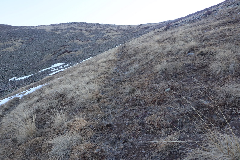
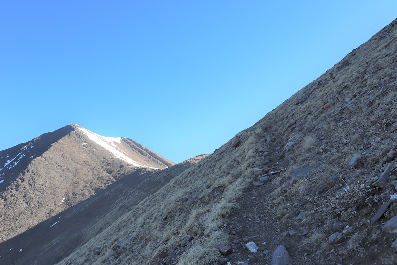
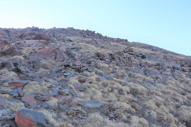
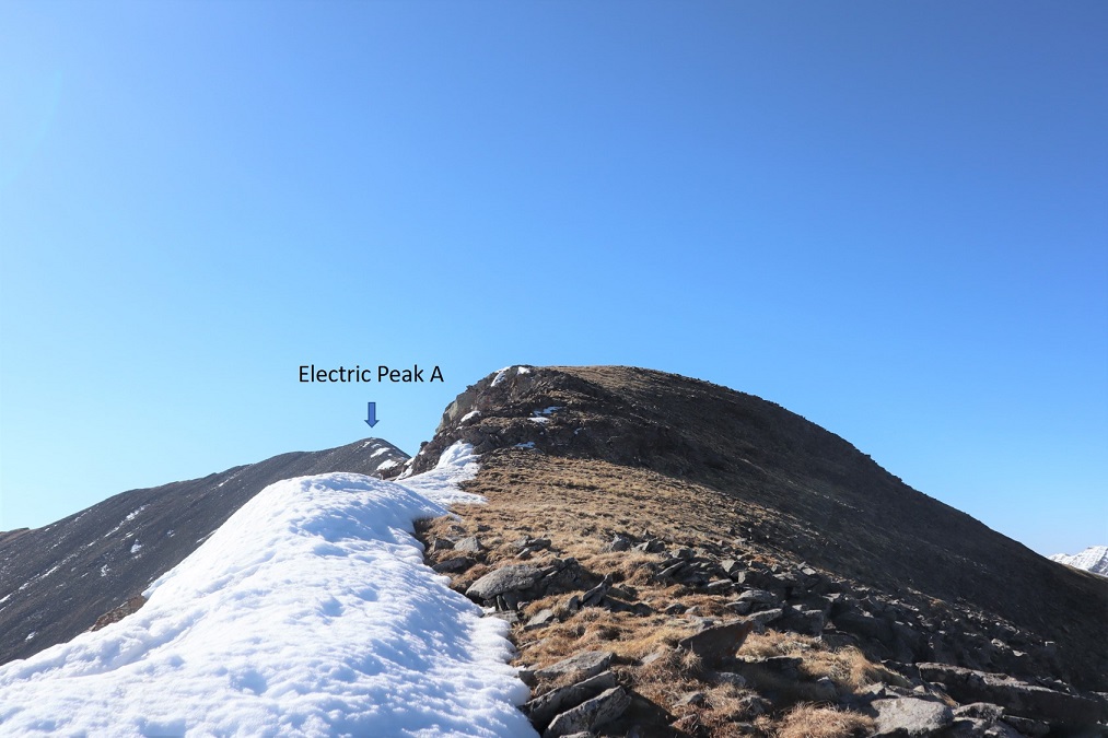
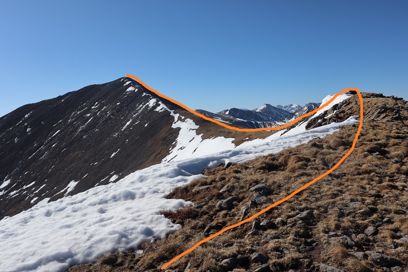
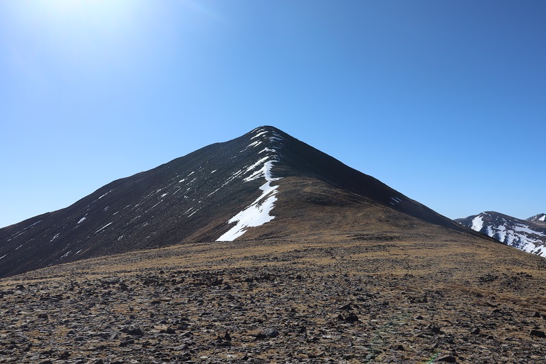
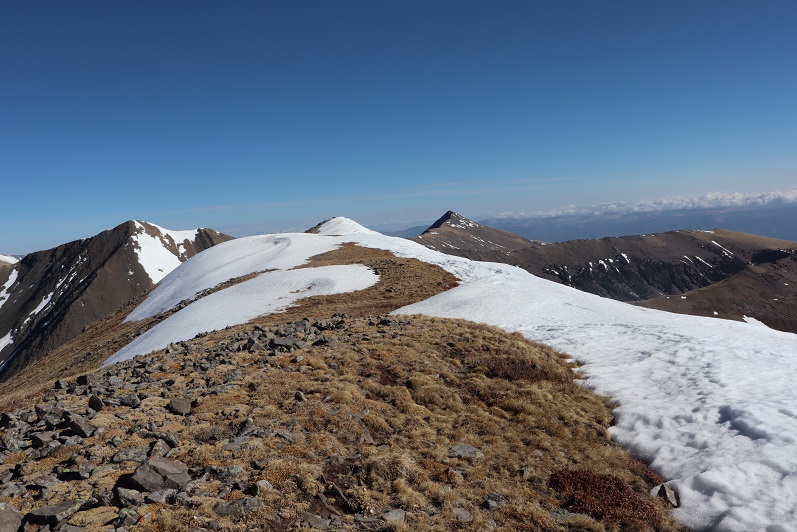
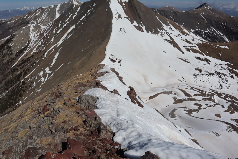
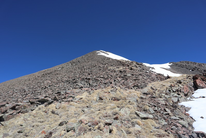
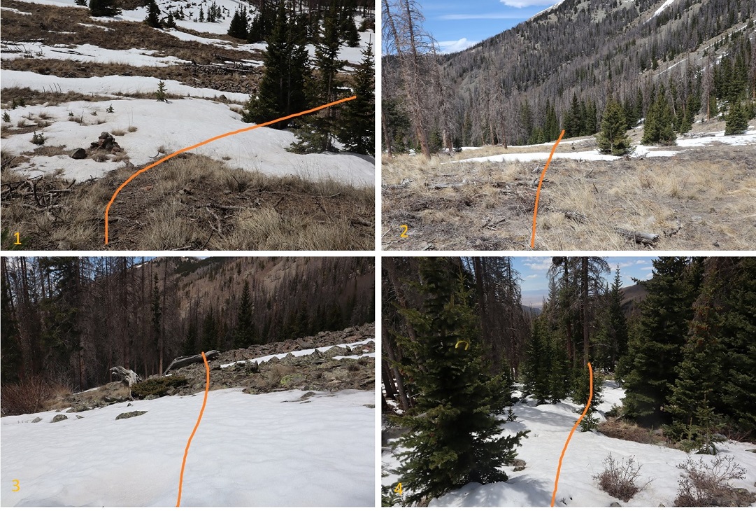
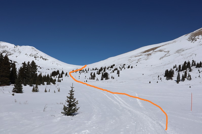
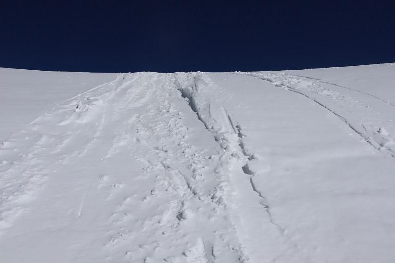
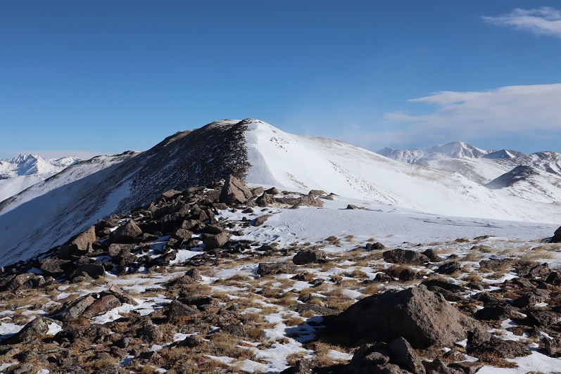
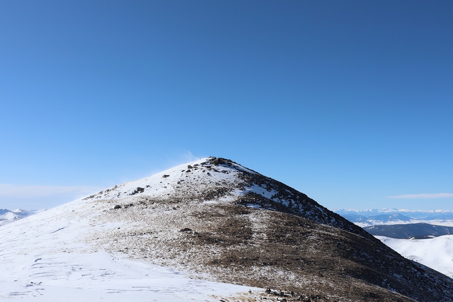
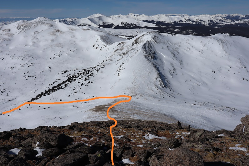
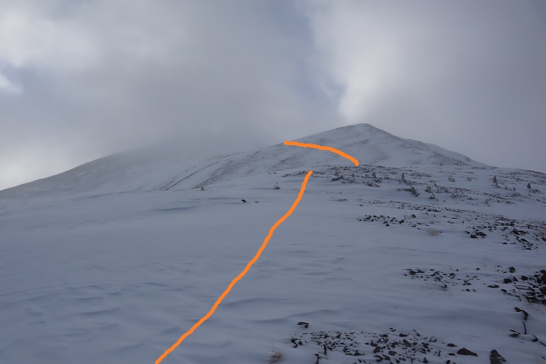
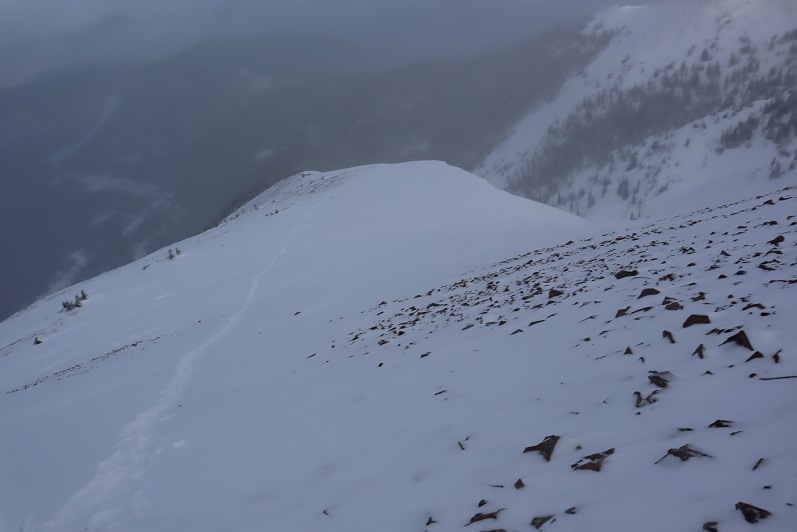
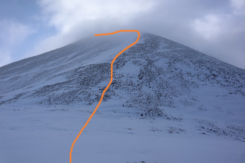
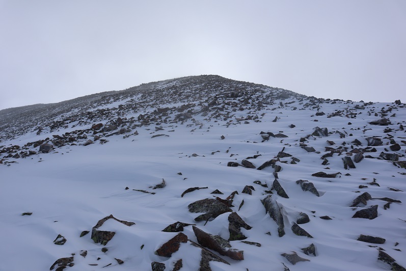
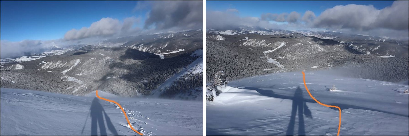
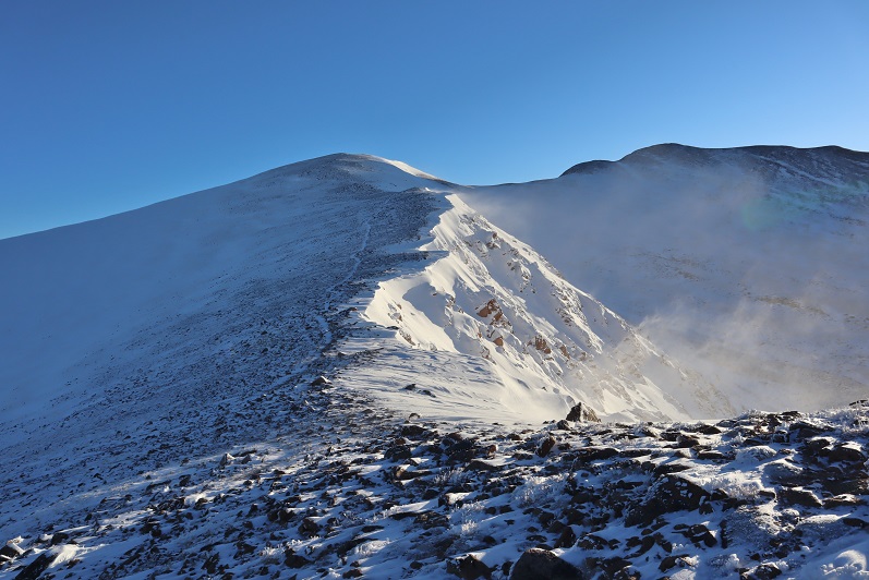
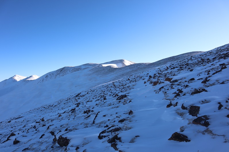
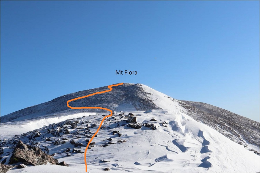
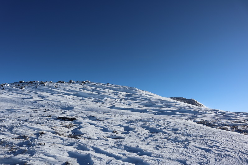
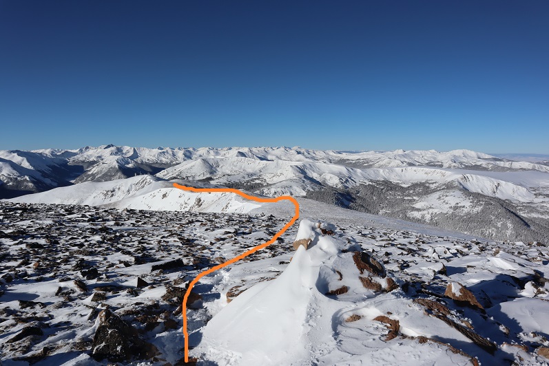
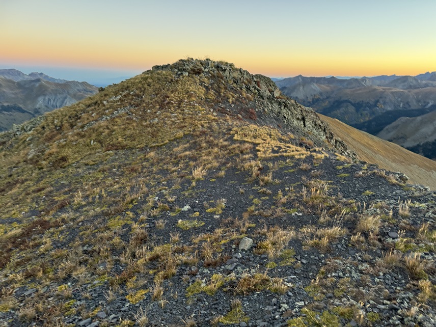
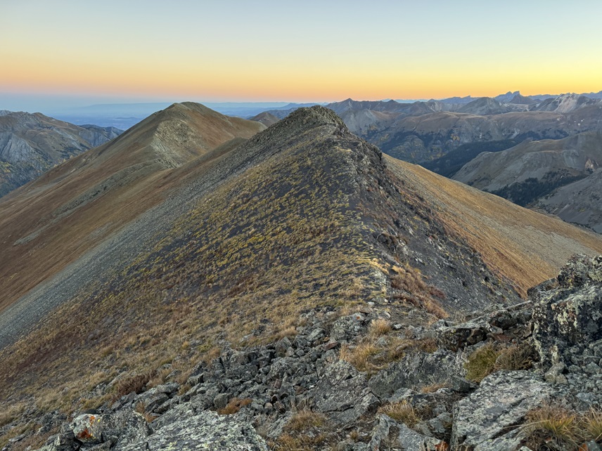
This is a very straightforward hike, entirely class 2. I ascended the tundra to the ridge, turned left, and ascended the shale and then tundra again to the summit.

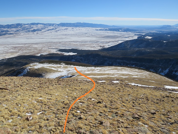
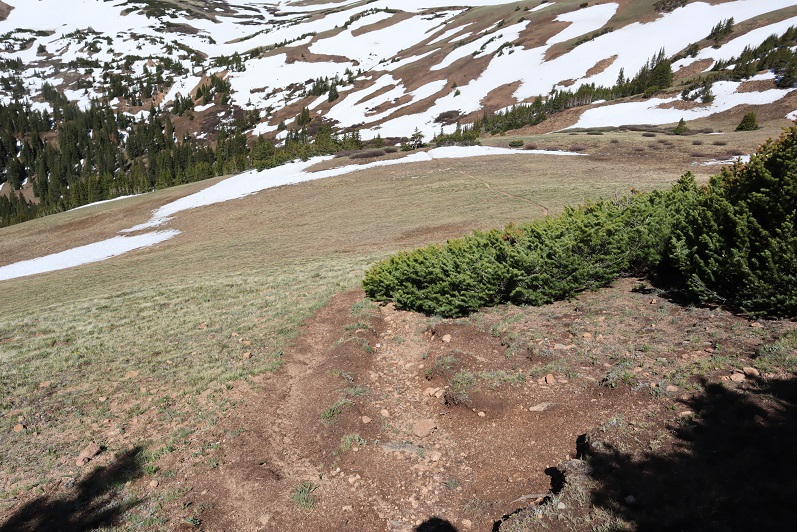
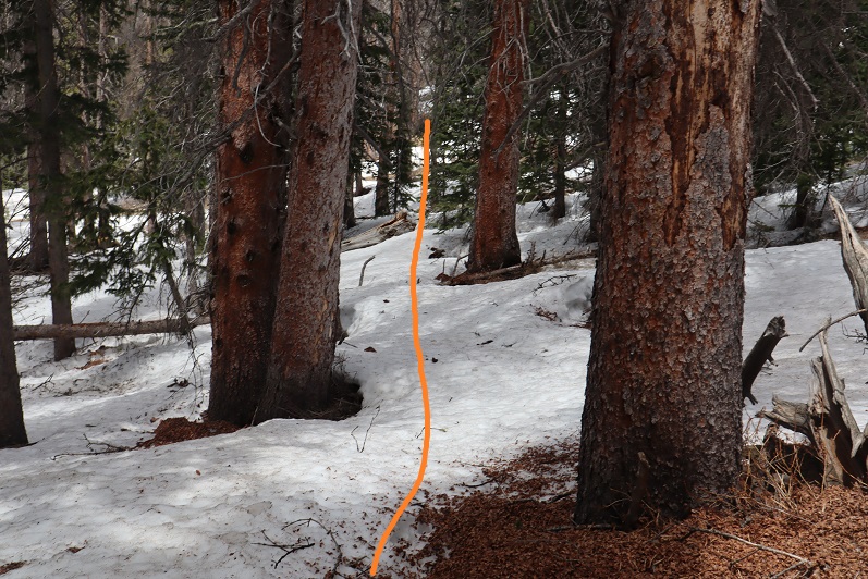
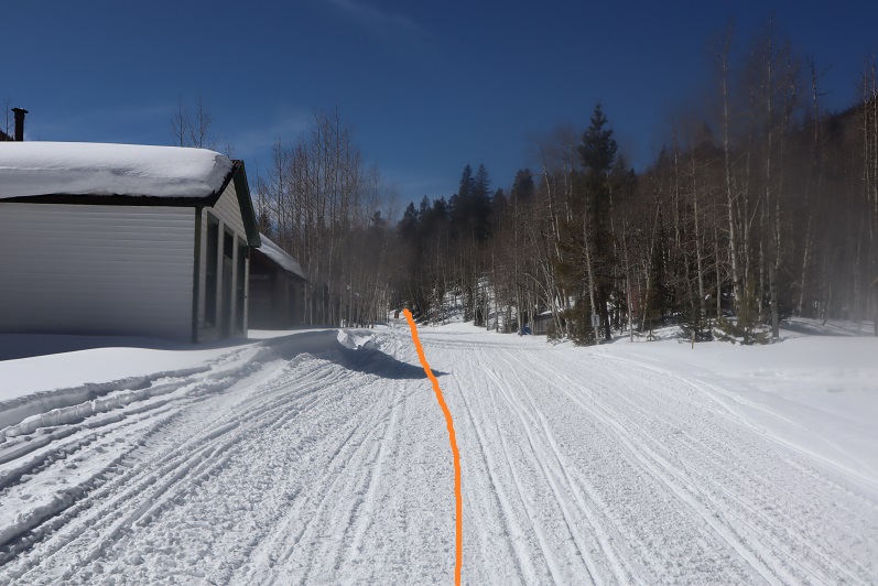
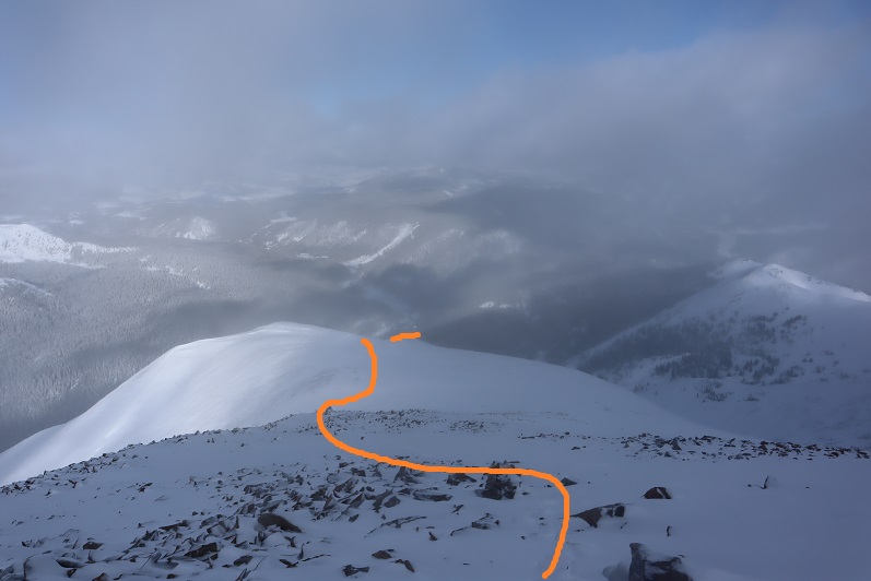
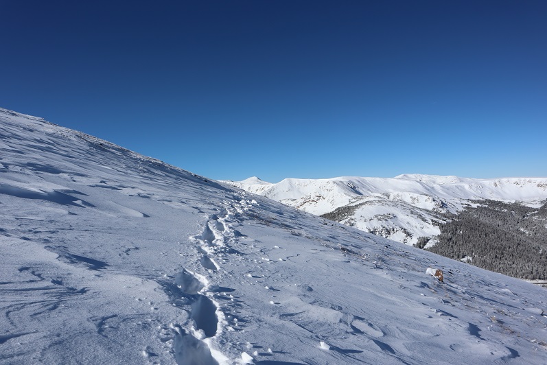
Halfway up the ridge I came to a game trail and followed it west.
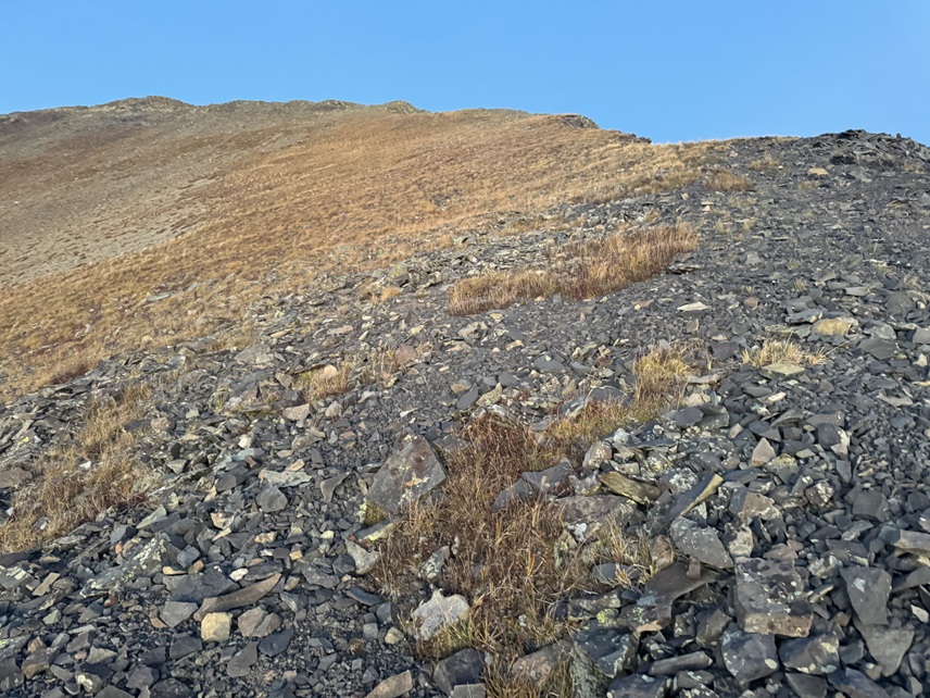
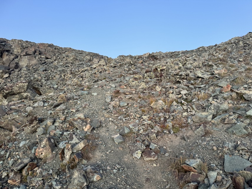
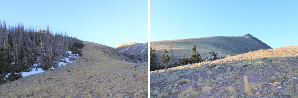
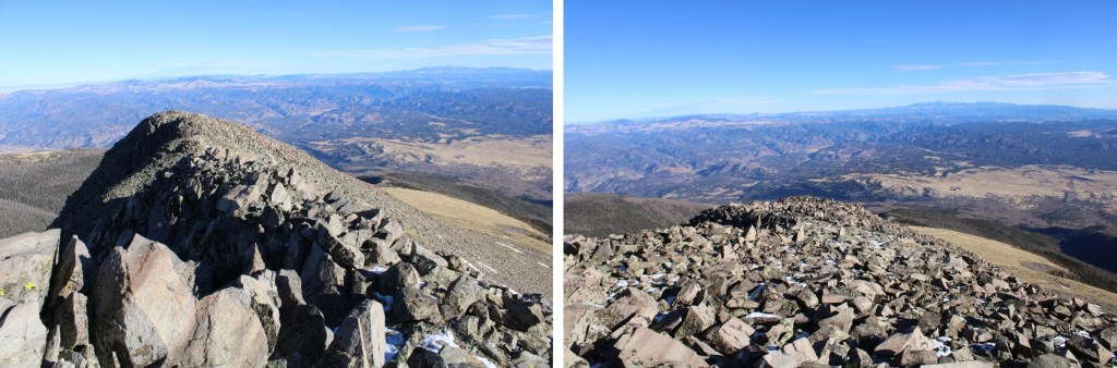
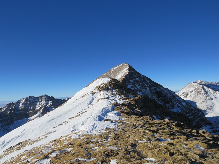
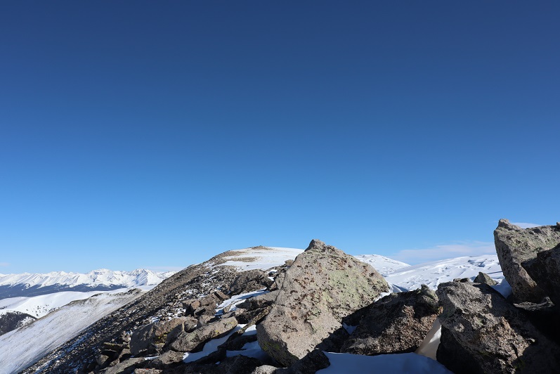
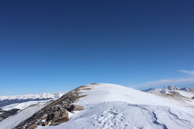
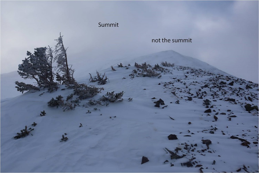
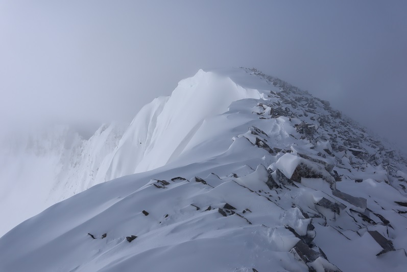
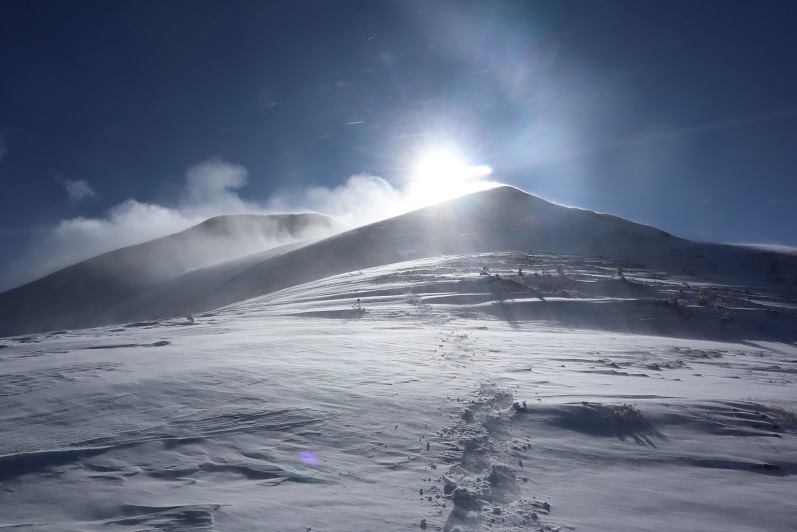
Once on the ridge, I turned left and followed it south to the summit. It started out as rocky, then turned to tundra.
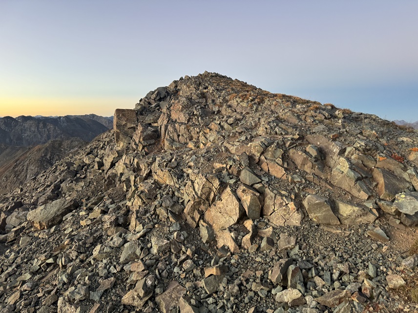

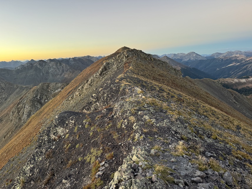

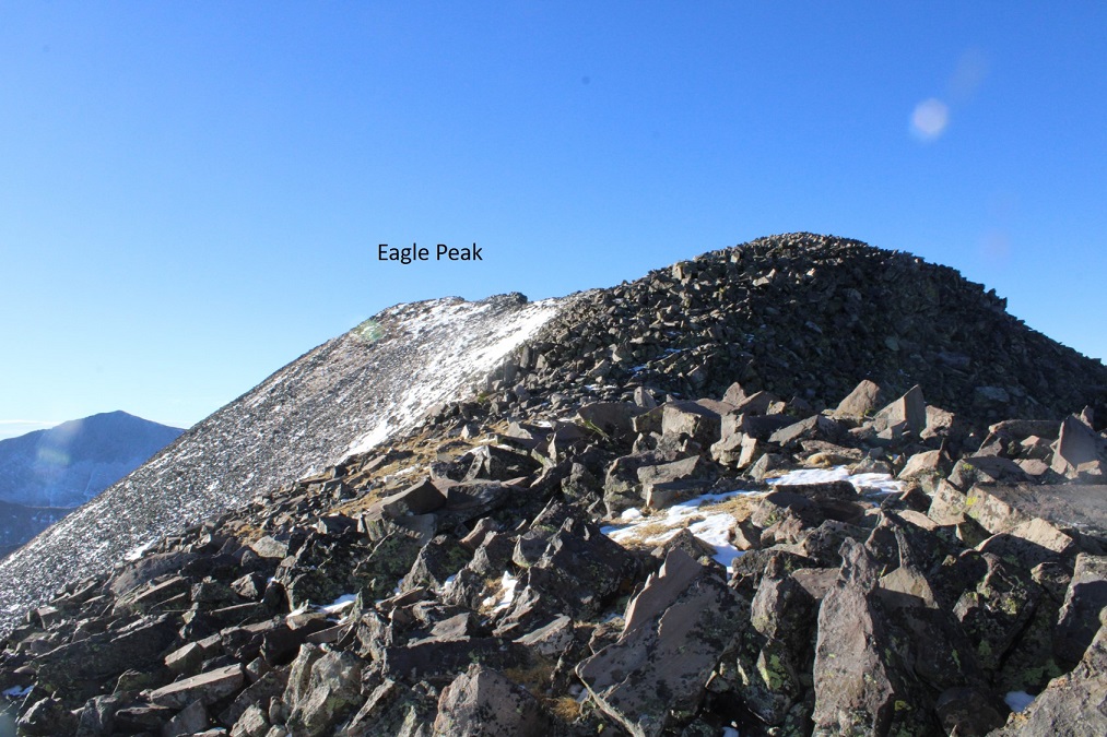
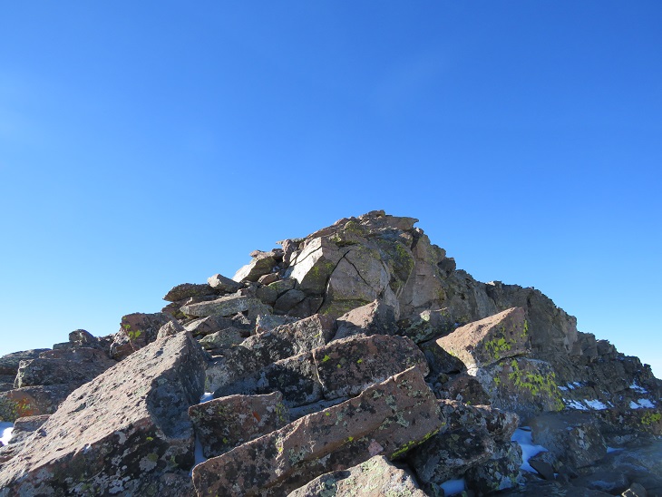
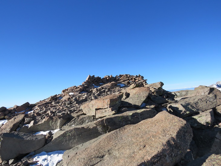
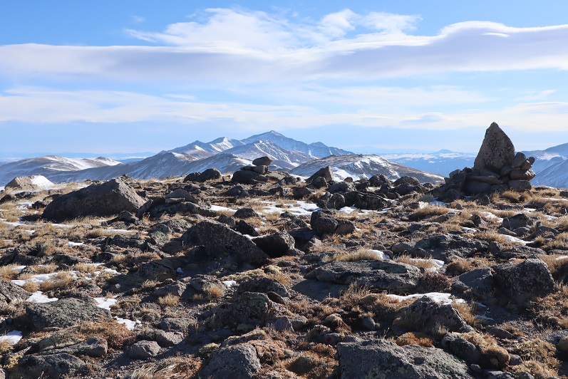
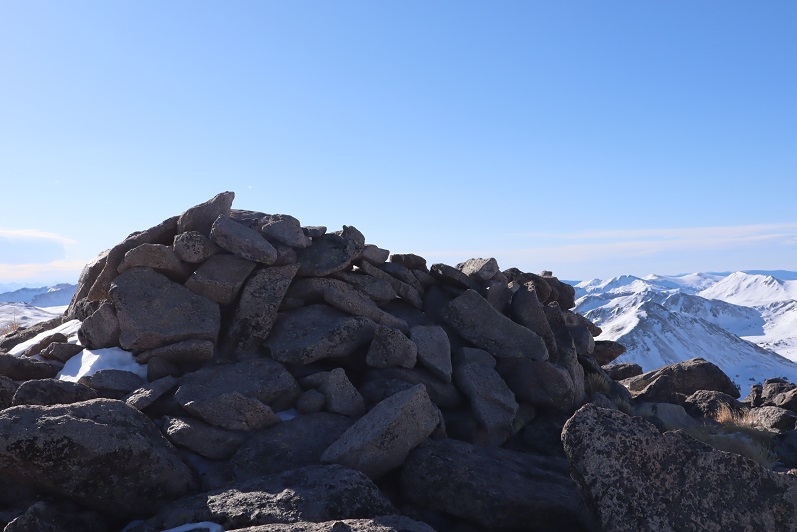
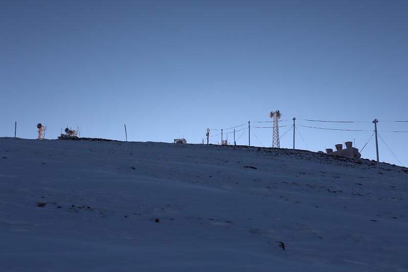
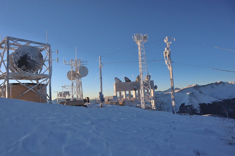
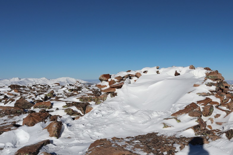
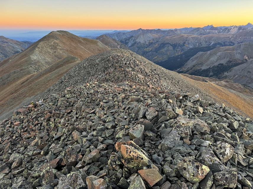
The summit is marked by an obvious cairn.
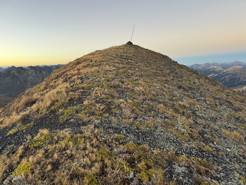
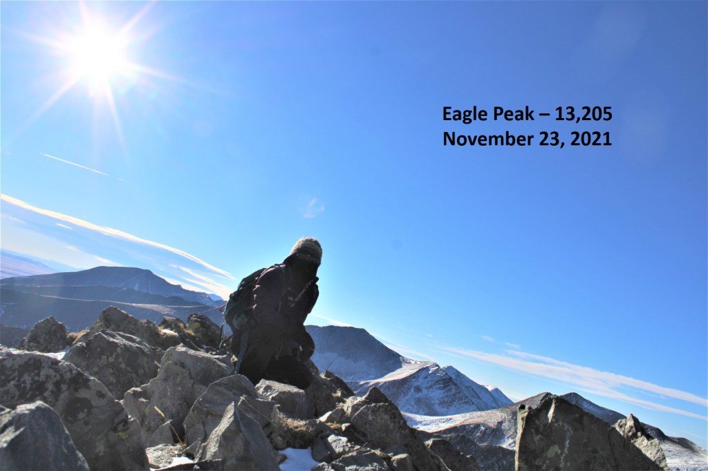
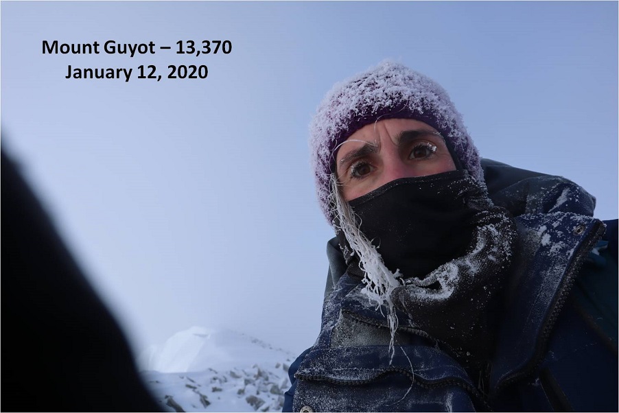
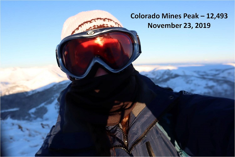
I summited Brown Mountain at 6:50am and could not feel my fingers. As you can hear in the video, the wind never let up, but once I got started I kept telling myself I’d be a fool not to finish because the summit was RIGHT THERE, and I’d be in sight of my truck the entire time. I may be frozen when I made it back to the truck, but at least I could turn the heat on.
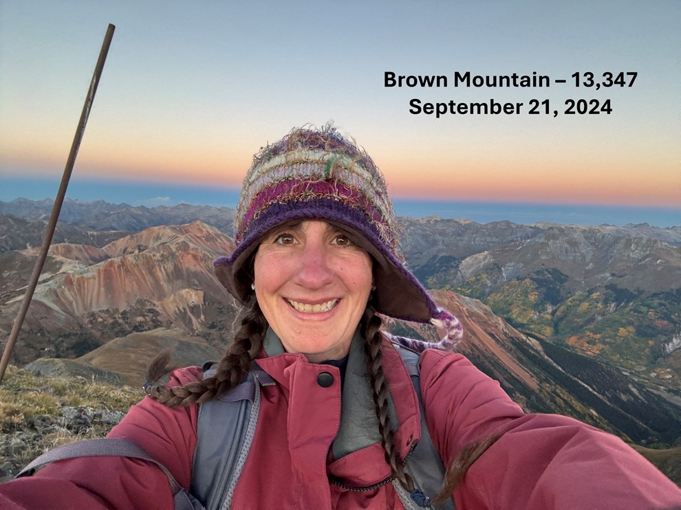
Brown Mountain:
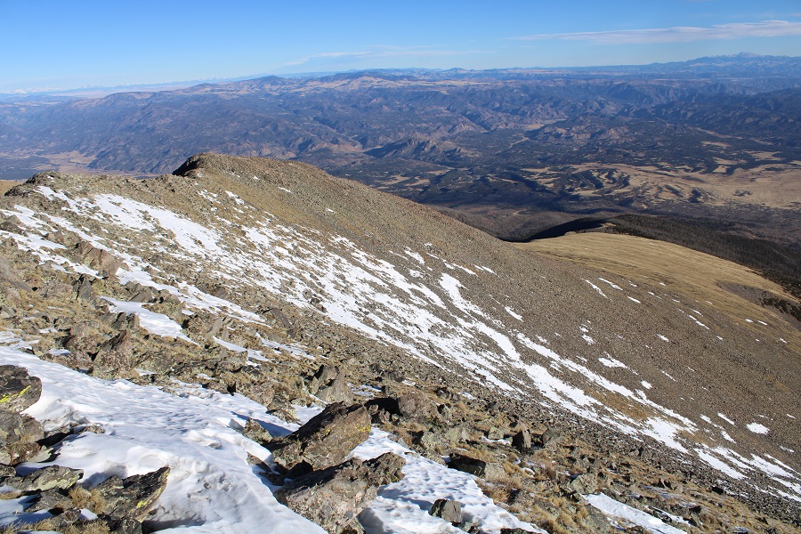
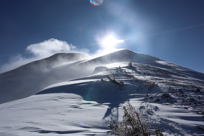
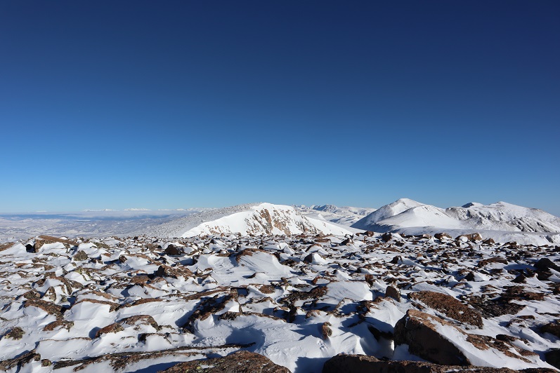
I didn’t stay too long at the summit. I turned around and headed back the way I’d ascended, my truck below in sight the entire time.
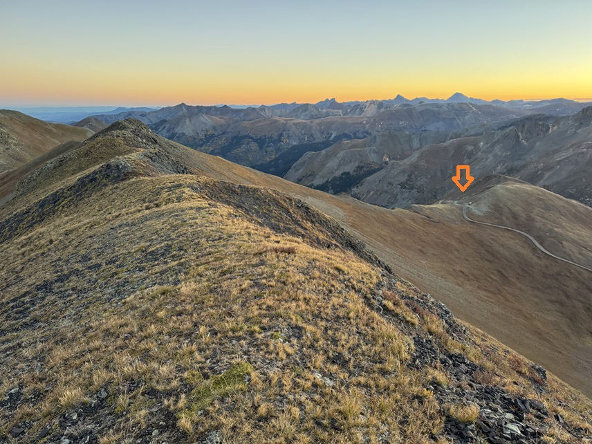

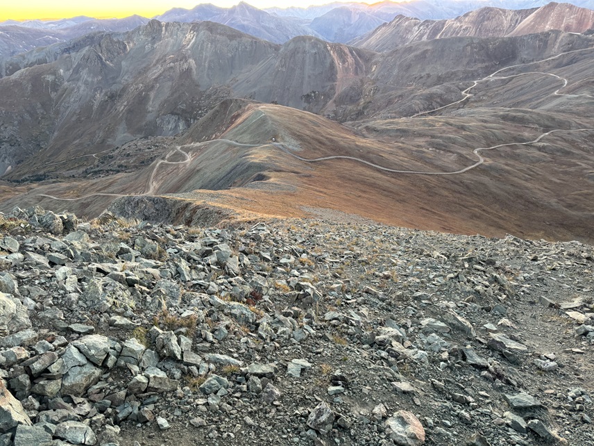
I made it back to my truck at 7:05am, making this a 1.02 mile hike with 425’ of elevation gain in 30 minutes. If you start from Gold King Mine it’s 8.38 miles with 2844′ of elevation gain.
Then I drove back down to Gladstone and Gold King Mine. In any event, long story short, hiking is very mental. Knowing how to talk yourself into a hike is a great asset, especially when you’re not ‘feeling it’, as long as you have a backup plan and don’t put yourself in a dangerous situation. It’s always the right decision to turn around and go back, but sometimes you need to dig deep and push on. I needed an easy win today for my mental state. Once again, easy hike, but it would have been easier to have just given up and gone home.
On to the next trailhead!