Almagre Mountain – 12,367 and South Almagre Mountain – 12,349

1

RT Length: 14.5 miles
Elevation Gain: 2936’

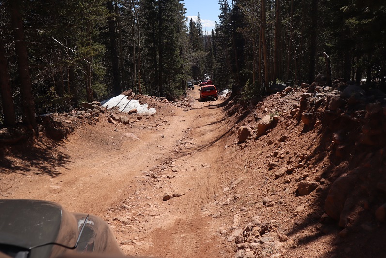
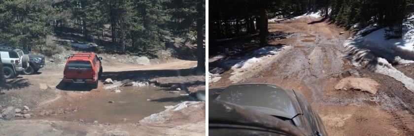
Oh, Old Stage Road, where the speed limit is 20mph but you can’t go above 5mph because the road is so full of potholes. Old Stage Road is a 2WD dirt road connecting Colorado Springs with Cripple Creek, and as of late is becoming increasingly difficult to drive. OK, not difficult if you drive slow, but then it takes forever! We made it to Old Stage Road at 5am and didn’t make it to the trailhead (Frosty Park) for over another hour. The last part (after turning onto 379) was very much 4WD, and fun to drive! There was snow and ice on the trail, and a few deep puddles to navigate.

2

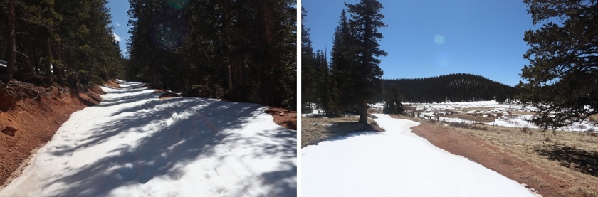
Eventually I came to a place where there was a layer of snow/ice on the road that I didn’t want to navigate with my truck, so I parked a third of a mile before the trailhead and decided to walk the rest of the way. This was an easy walk along the 379 dirt road, and in fact, we stayed on 379 for 3.5 more miles

3

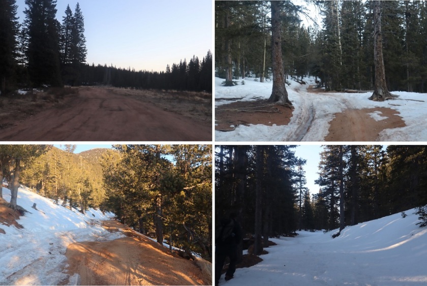
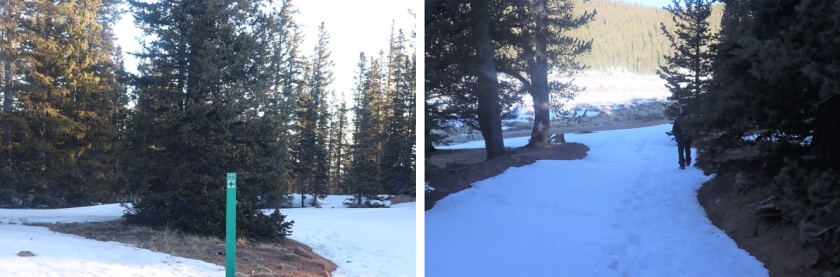
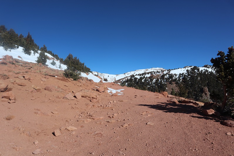
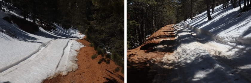
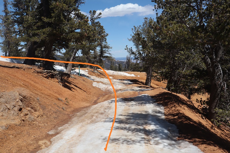
The road conditions varied greatly, but after the first mile snow was present along the entire route. The road followed the Ring the Peak Trail to Deer Park

4

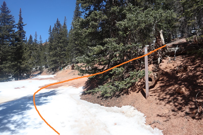
At Deer Park we left the Ring the Peak trail and turned right onto 379A

5

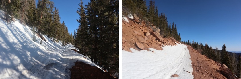
We continued to follow the road, steadily gaining in elevation

6

Snowshoes would have been a good idea, but we were too stubborn to put them on.

7

After 5.25 miles we came to a locked gate and skirted around it

8

This brought us to the defunct Stratton Reservoir.

9
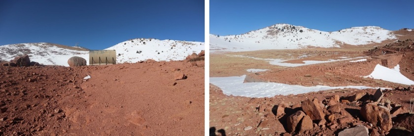
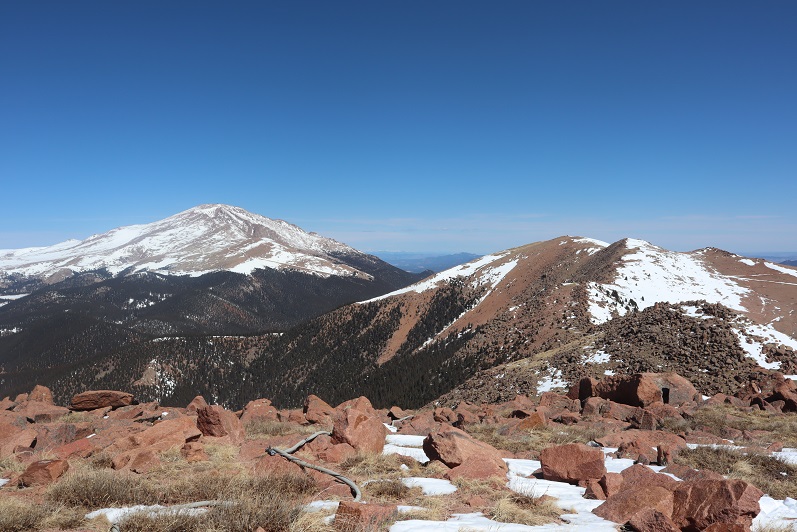
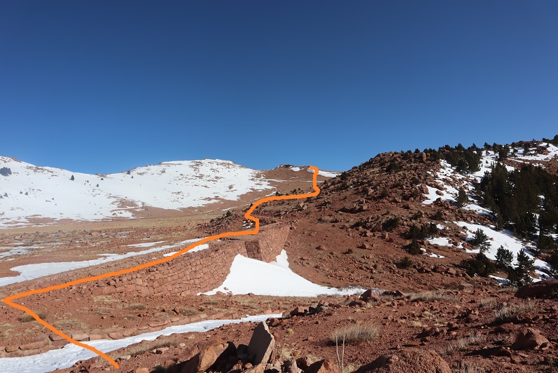
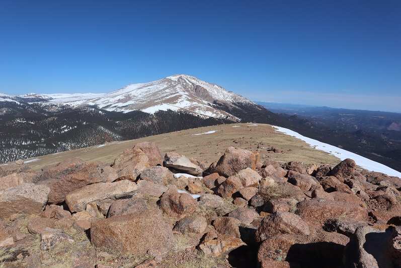
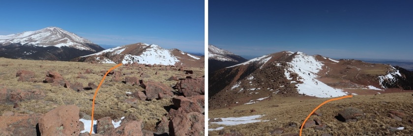
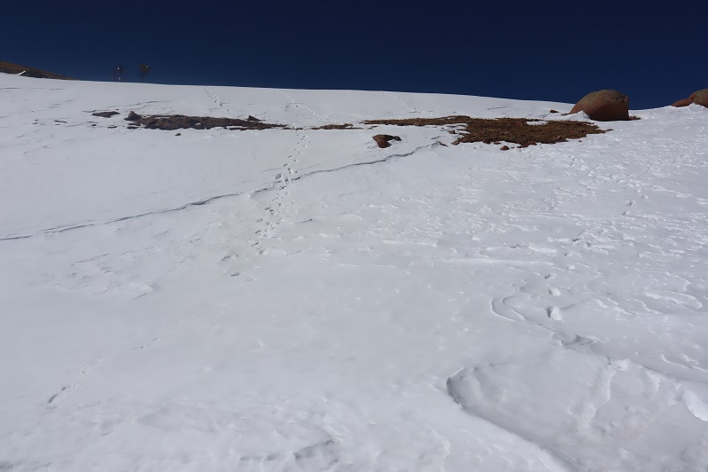
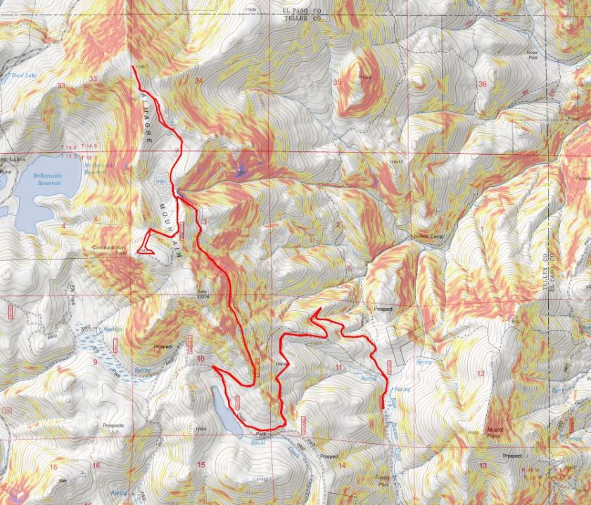
It’s hard to imagine this reservoir ever held much water. Almagre is to the north of the reservoir. Here’s the path we took

10

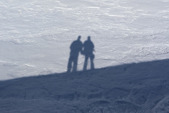
Stopping to get a shadowselfie on the reservoir

11
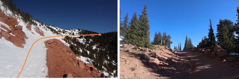
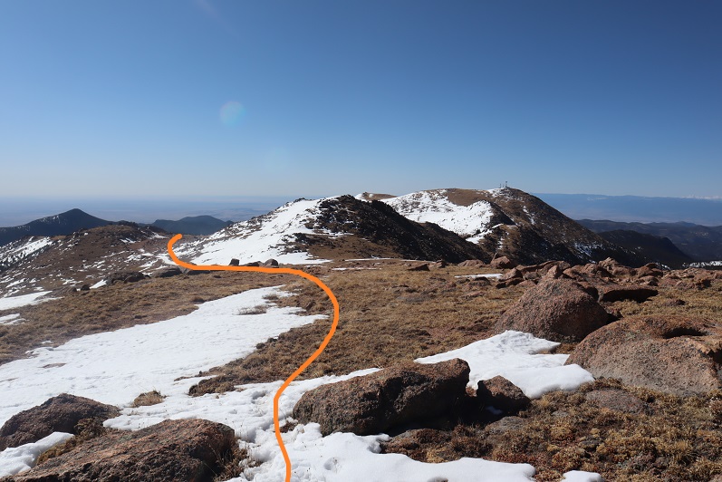
Following the road up to the saddle

12

13

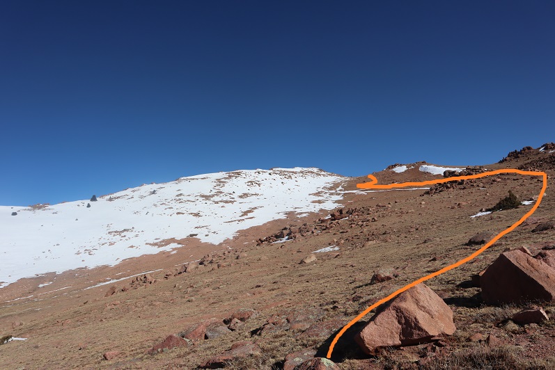
And then heading northwest to the summit

14

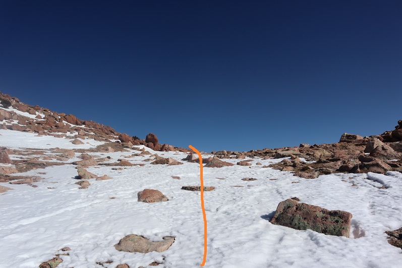
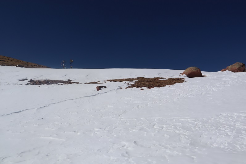
There was a lot of wind here, and firm snow we were able to easily navigate with just microspikes

15

16

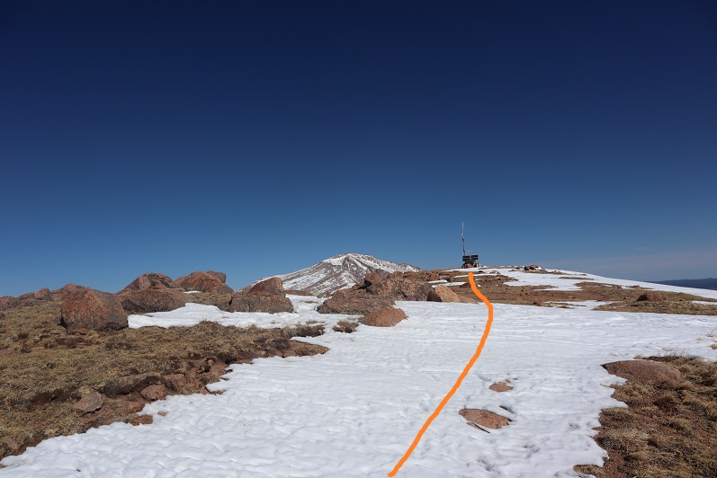
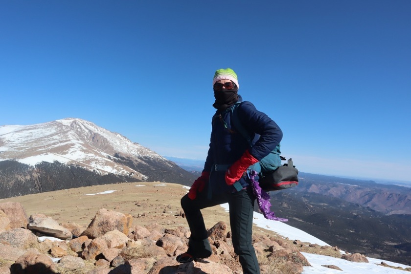
We summited at 9:40am to quite a bit of wind

17

18

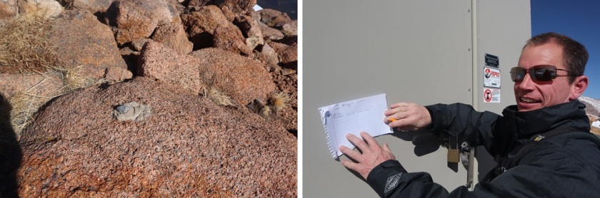
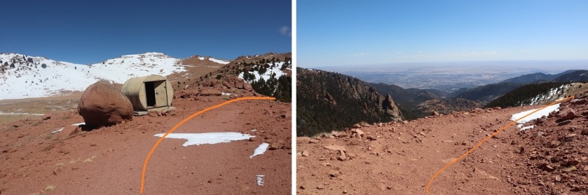
There was no summit register, so we decided to leave one we’d brought, crouching down behind the solar panels to get out of the wind

19

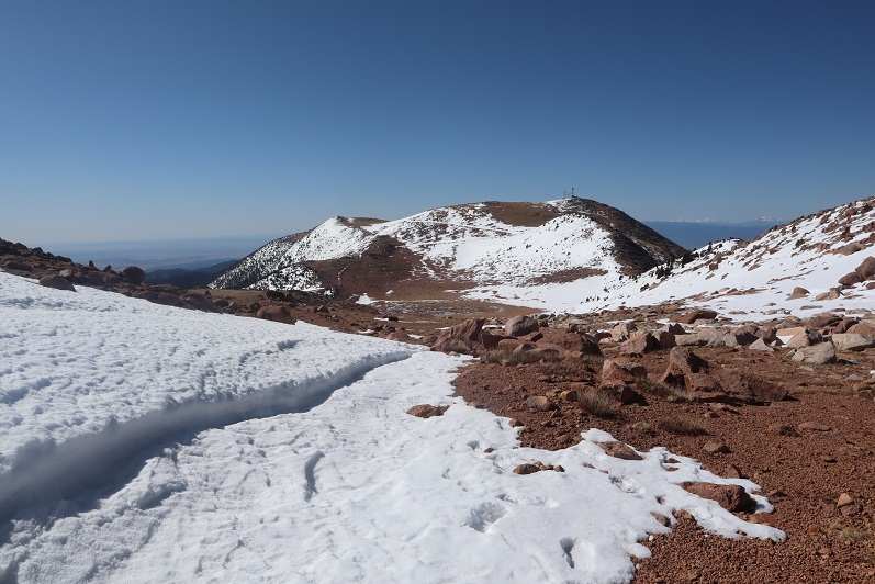
The wind was a bitter cold so we didn’t stay long on the summit. We made our way back to the saddle

20

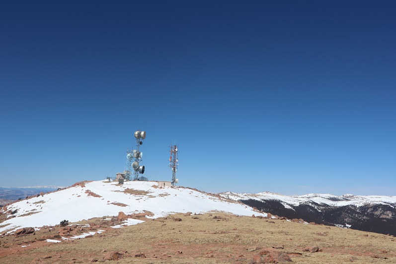
And got a good view of South Almagre Mountain (the microwave towers)

21

We headed back the way we came

22

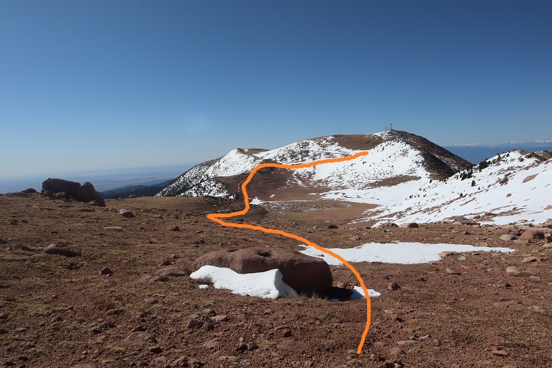
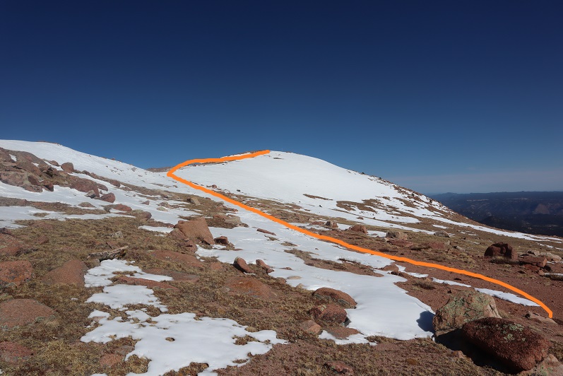
And only stopped for a bit to re-apply sunscreen. Then we were starting the ascent of South Almagre. While we simply followed the road, the road was covered in snow/ice and was a bit tricky in places. I went first to kick in steps

23

The road didn’t look passable after the first set of switchbacks, so we decided to just head up this wall of snow and straight towards the microwave towers

24

25
As we neared the towers we heard talking, which was confusing since we’d made our own tracks and hadn’t seen anyone all day. Turns out there were some workers up in the towers adding connectivity and network bandwith due to increased demand during the Coronavirus.

26

They’d tried to take the road we hiked in but their vehicle wouldn’t make it, so they instead turned around and hiked in from Elk Park. This is the initial way I’d summited Almagre a few years ago.

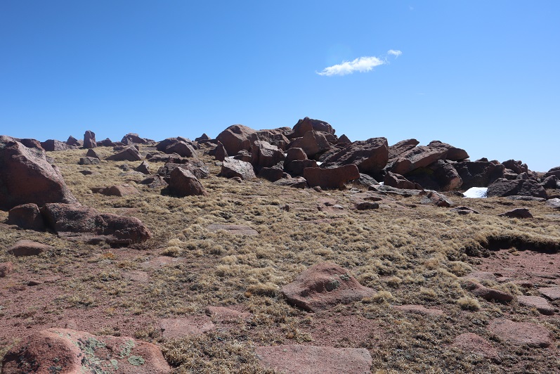
Being at the top of South Almagre we weren’t sure if we were indeed at the highpoint. Looking directly east seemed to be just as high (or higher) than the point we were at now, so we decided to traverse over to this pile of rocks

27

While it was fun scrambling, our altimeter showed this area was actually 10 feet lower than the towers had been.

28

29

Satisfied, we decided to head back, following the route we’d come in

30
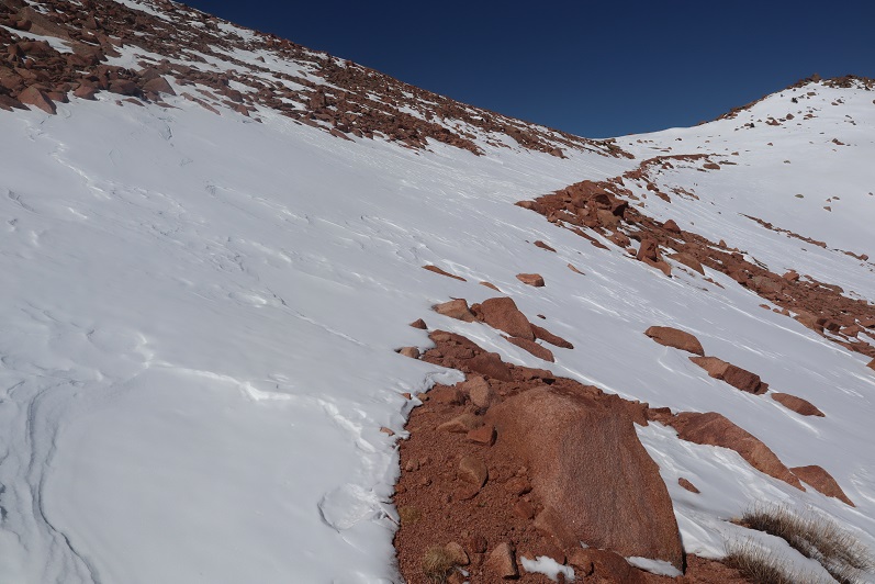
The snow section below the towers was a little steep, but we’d done a good job kicking in steps

31

32

We followed the road back to the gate

33

And with the increased temperatures were a little worried about avalanche danger here

34

We gingerly crossed this area, and as soon as we were confident we were out of avalanche danger we put on our snowshoes for the long slog back down through snow, ice, and mud.

35
The snow on the roads was now mush, and once we got further down we started seeing tire tracks

36

37

And more and more and more vehicles. I started to get worried we wouldn’t be able to drive out on this road because so many people were driving in.

We made it back to the truck at 2:30pm, making this a 14.5 mile hike with 2936’ of elevation gain in 8 hours. I have to say, the hike felt shorter with more elevation gain, but that may be because I was tired from my hike the day before.

38

I decided to follow a few vehicles back to Old Stage Road, and this ended up being a fabulous idea: There were dozens of vehicles in the half mile back to the road all trying to go the opposite way. I applaud them for social distancing and still getting outdoors!

39

Stanley Canyon

Please don’t mind the hot mess that is my hair in these photos:  I came straight from my shower at the gym and forgot my hairbrush on the hike. 

I’ve been trying to do this hike for a while now, but the
directions I’ve been finding on the web have been wrong (imagine that).  The two sites with directions state the
trailhead is 3.9 miles from the initial checkpoint.  So I’ve done that several times, even driing
as much as a mile in either direction, and I’ve been unsuccessful in finding
the trailhead.  But after purchasing the
Pikes Peak Atlas earlier this week, and talking with a friend at the Humane Society
who’s done the hike, today I was able to successfully find the trailhead!

OK, so it’s not 3.9 miles from the checkpoint as indicated,
but more like 5.5.  In any event, if you
take the USAFA southgate entrance and make a left on Stadium drive, the turnoff
will be before the next checkpoint.  In
fact, it will be about 20 feet before the next checkpoint, on your left.  Follow the dirt road and the trailhead will
be clearly marked.   My advice is to
bring with you a sturdy hiking pole, water, waterproof hiking boots, and a
sense of adventure.

I saw some wild turkeys on the drive up…

To be honest, there isn’t much information about this hike
online, so I’ll detail it here.  Please note these are “early season” conditions, and it had snowed/rained for the past 3 or 4 days, so I’m sure the water levels were higher than normal.

Yes, the trailhead is clearly marked, in multiple
areas. 

It’s hard to get lost for the
first half mile or so, but after that it’s anyone’s game.   I saw
two other vehicles in the parking lot when I got there, so I surmised I’d end
up meeting two different hiking parties.  I also forgot my map in the car.  Well, I didn’t really forget it, as I remembered when I was about 10 yards from my truck, but I didn’t feel like going back to get it.  In any event, I’d taken a picture of the trail at the trailhead.  How difficult could this be?

I saw several scruffy looking rabbits along the trail. 

The trail goes straight up for about 90% of the hike.  

Here’s the indication you’ve left the USAFA

And as soon as you get to the top of this hill there’s a
great view, and this is where you’re leaving the easily marked area of the trail.  

Check out this really cool water collection pool in the side
of the mountain!  I’m sure it’s a
waterfall of it’s own earlier in the season.

The first ¾ of the hike is up through a lot of loose
granite, over creeks and yes, up waterfalls.

The trail actually goes up the waterfall.  For anyone who’s ever climbed up granite, you
know it’s very slippery when wet.  This
was indeed the case here.

The trail is difficult to find in places, but I reasoned
since I was hiking towards a reservoir, as long as I followed the water I’d
eventually find it, right?  That ended up
being a good assumption.  Also a friend
of mine told me she’d recently done this hike and kept thinking it couldn’t be
right to keep crossing the waterfalls, but that was indeed how it was done
(Thanks Paige for the advice!).   I was
lucky it was still early in the season and the leaves hadn’t emerged yet.  Otherwise it would have been really difficult
to see through the brush to find the eventual trail.  

The trail went back and forth over a steady stream of
water.  I was really glad I’d brought my
waterproof hiking shoes, and wondered how I was going to hike down these slopes
(up wasn’t easy, but I had footholds).

Where there were crossings over the stream they weren’t very
elaborate:  Just a couple of
strategically placed logs.  This is where
a hiking pole comes in handy!

Check out these baby aspens!
I love the intense green color of the trunks.

Most of the trail us rocky granite.  You can tell it’s covered in snow during the
wintertime, and I’m assuming well traveled.
Because of this there are multiple trails to the same destination, all
paralleling each other.  All are
difficult.

As soon as I made it to the top of the waterfalls it was as
if I was in a different world!  The
temperature dropped 20 degrees and there was snow everywhere.  Water was dripping like rain from the trees
as the snow melted in the morning sun. This is where I saw my first group of
hikers.  They looked like cadets, and there
were 5 of them, so I figured they could indeed have been the owners of both
vehicles, but at least one.

And there were tons of animal tracks…

After about ¼ of a mile hiking through the cold I came upon
a clearing that still had snow, but it was much warmer and quickly melting.

The reservoir was beautiful!
As I approached I saw a fisherman, and surmised he was the owner of the
second vehicle.  We exchanged greetings
and I snapped a few pictures.

I could hear the sounds of gunfire (expected on base) and
the drumming of woodpeckers.  I saw
several fish jumping in the reservoir.  I
didn’t stay long as I actually had quite a bit of work to do today.  And I was getting cold.  My Raynauds was really kicking in (and
unexpectedly).  My finders were red and
beginning to turn white.  I knew I needed
to get to a lower elevation to arm up.

The way back down was indeed more challenging than up, as I
was hiking down slippery slopes with little footing.  When hiking up it’s much easier to find a
place to put your foot, but when going back down everything just slips.

And much of the trail was covered with small creeks of
water.

Just as I made it to my truck I heard a very loud rumbling
and saw the Thunderbirds soar by!  So
cool!  This was totally unexpected and
awesome, so instead of taking the second hike I’d planned for today I stood
there at the trailhead for half an hour just watching them practice.  

I had a very unique view of their flight, as
everyone else in the Springs was watching them looking west, and because of the
hike I’d just completed I was watching from the east. I love living in Colorado
Springs!

One of my favorite parts about this experience was seeing the cadets watch the flyover from on top of the buildings.