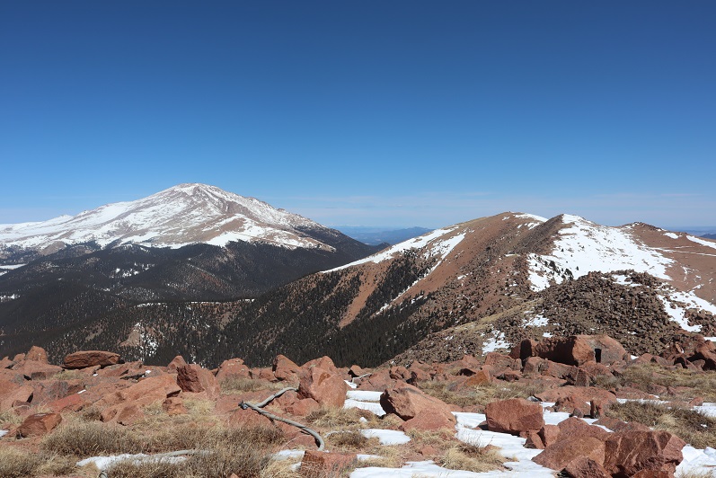
RT Length: 14.5 miles
Elevation Gain: 2936’
Oh, Old Stage Road, where the speed limit is 20mph but you can’t go above 5mph because the road is so full of potholes. Old Stage Road is a 2WD dirt road connecting Colorado Springs with Cripple Creek, and as of late is becoming increasingly difficult to drive. OK, not difficult if you drive slow, but then it takes forever! We made it to Old Stage Road at 5am and didn’t make it to the trailhead (Frosty Park) for over another hour. The last part (after turning onto 379) was very much 4WD, and fun to drive! There was snow and ice on the trail, and a few deep puddles to navigate.

Eventually I came to a place where there was a layer of snow/ice on the road that I didn’t want to navigate with my truck, so I parked a third of a mile before the trailhead and decided to walk the rest of the way. This was an easy walk along the 379 dirt road, and in fact, we stayed on 379 for 3.5 more miles
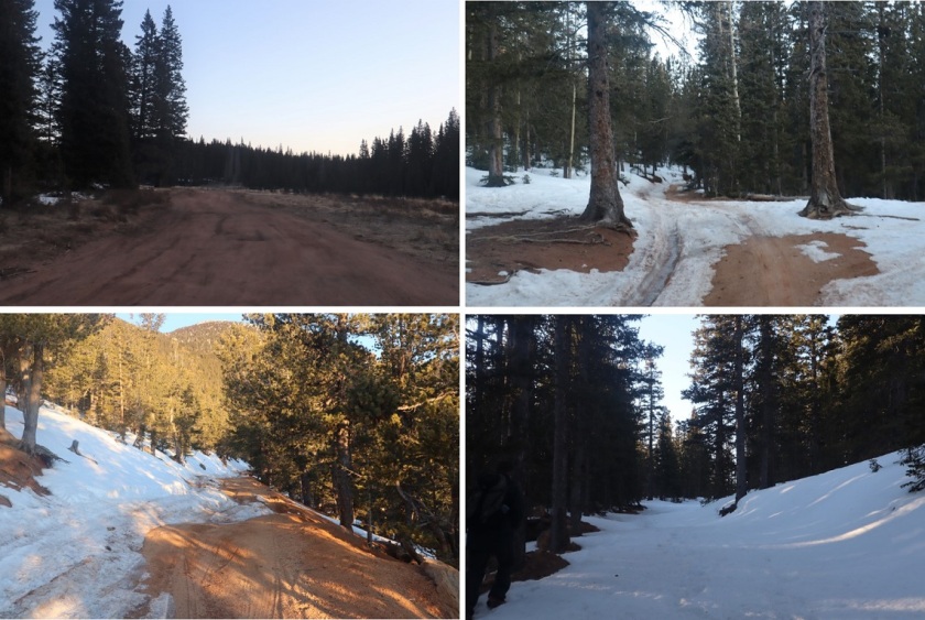
The road conditions varied greatly, but after the first mile snow was present along the entire route. The road followed the Ring the Peak Trail to Deer Park

At Deer Park we left the Ring the Peak trail and turned right onto 379A
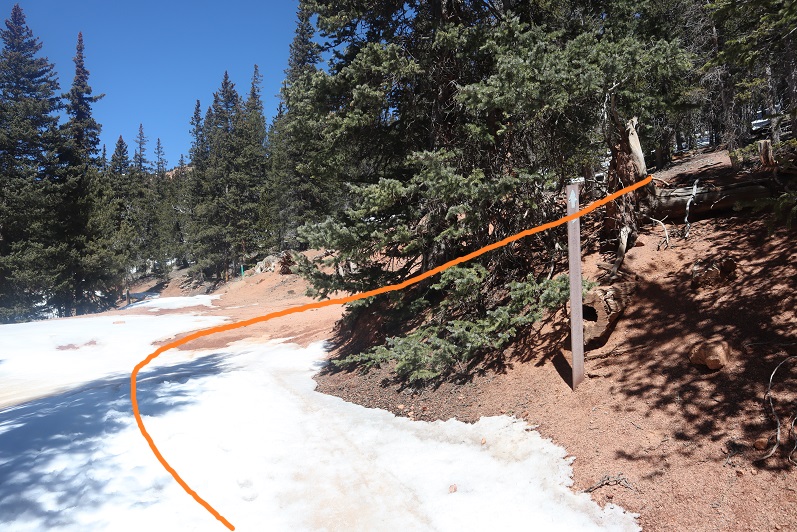
We continued to follow the road, steadily gaining in elevation

Snowshoes would have been a good idea, but we were too stubborn to put them on.

After 5.25 miles we came to a locked gate and skirted around it
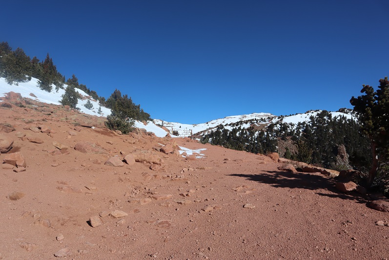
This brought us to the defunct Stratton Reservoir.

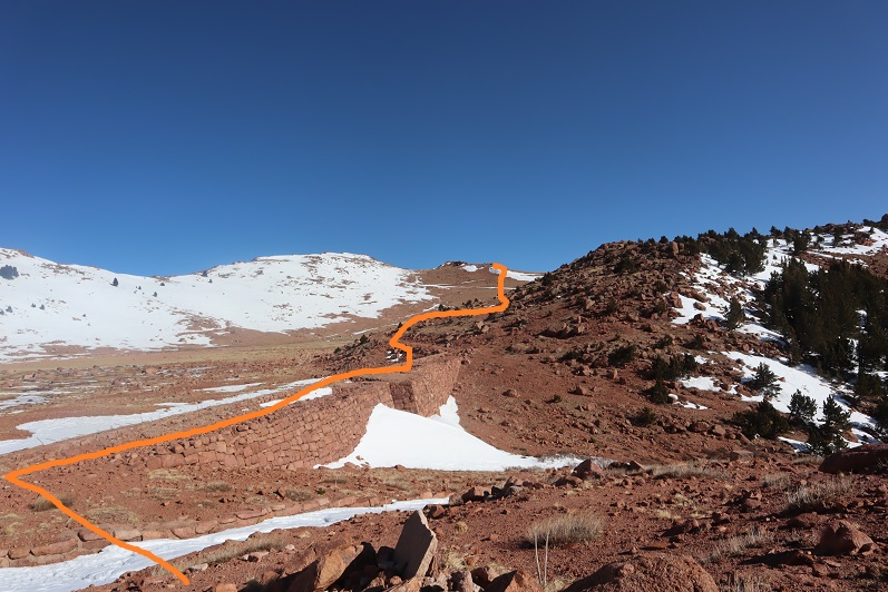
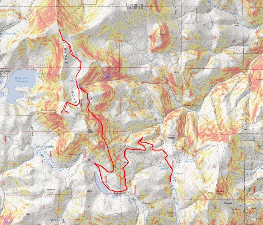
It’s hard to imagine this reservoir ever held much water. Almagre is to the north of the reservoir. Here’s the path we took
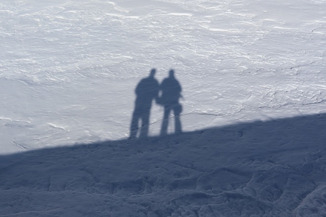
Stopping to get a shadowselfie on the reservoir
Following the road up to the saddle
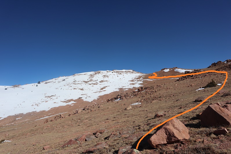
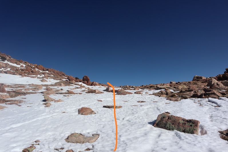
And then heading northwest to the summit
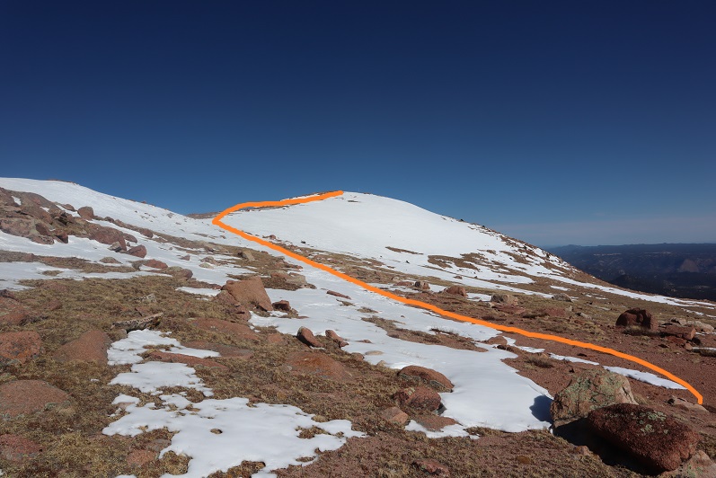
There was a lot of wind here, and firm snow we were able to easily navigate with just microspikes
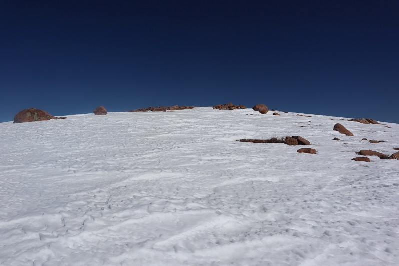
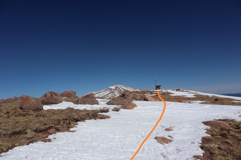
We summited at 9:40am to quite a bit of wind
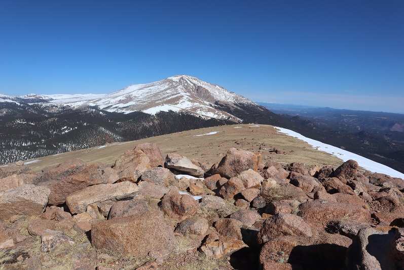
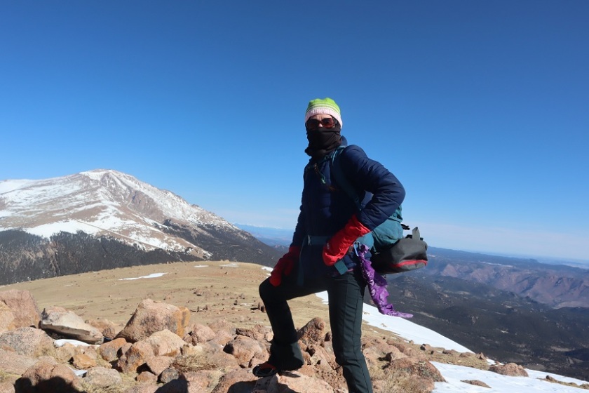
There was no summit register, so we decided to leave one we’d brought, crouching down behind the solar panels to get out of the wind

The wind was a bitter cold so we didn’t stay long on the summit. We made our way back to the saddle
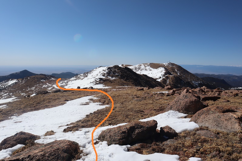
And got a good view of South Almagre Mountain (the microwave towers)
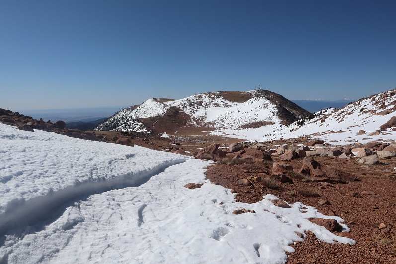
We headed back the way we came
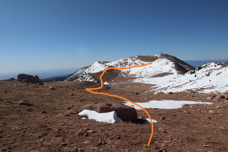
And only stopped for a bit to re-apply sunscreen. Then we were starting the ascent of South Almagre. While we simply followed the road, the road was covered in snow/ice and was a bit tricky in places. I went first to kick in steps
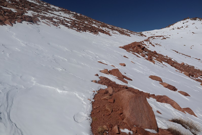
The road didn’t look passable after the first set of switchbacks, so we decided to just head up this wall of snow and straight towards the microwave towers
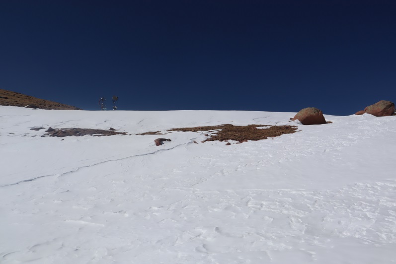

As we neared the towers we heard talking, which was confusing since we’d made our own tracks and hadn’t seen anyone all day. Turns out there were some workers up in the towers adding connectivity and network bandwith due to increased demand during the Coronavirus.

They’d tried to take the road we hiked in but their vehicle wouldn’t make it, so they instead turned around and hiked in from Elk Park. This is the initial way I’d summited Almagre a few years ago.
Being at the top of South Almagre we weren’t sure if we were indeed at the highpoint. Looking directly east seemed to be just as high (or higher) than the point we were at now, so we decided to traverse over to this pile of rocks

While it was fun scrambling, our altimeter showed this area was actually 10 feet lower than the towers had been.
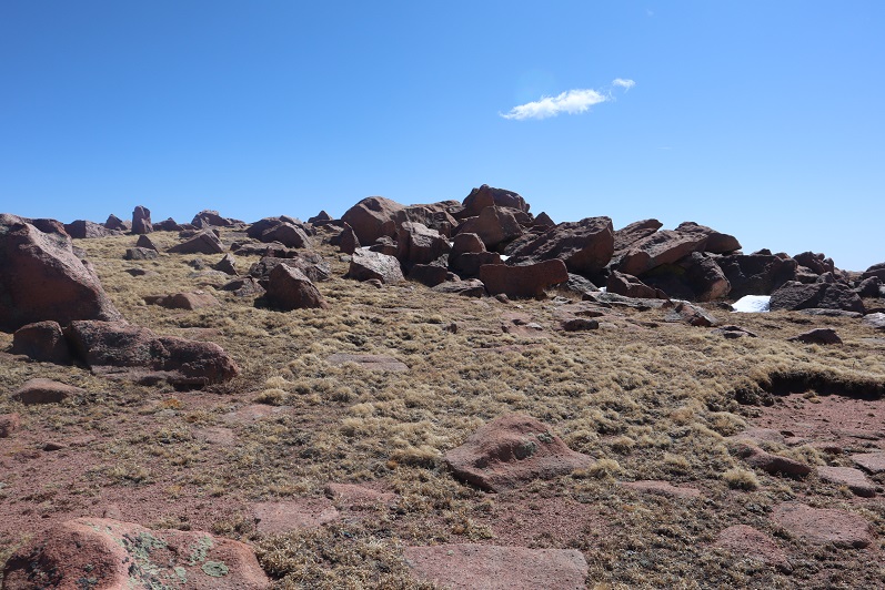
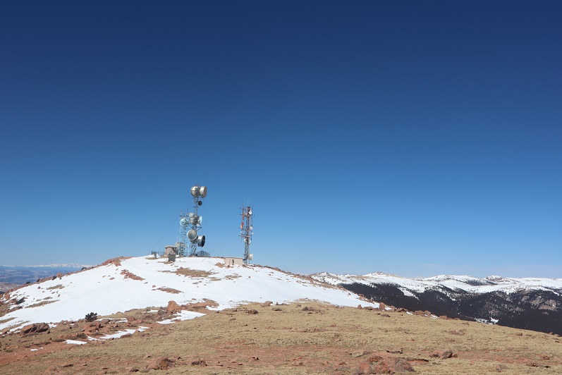
Satisfied, we decided to head back, following the route we’d come in

The snow section below the towers was a little steep, but we’d done a good job kicking in steps
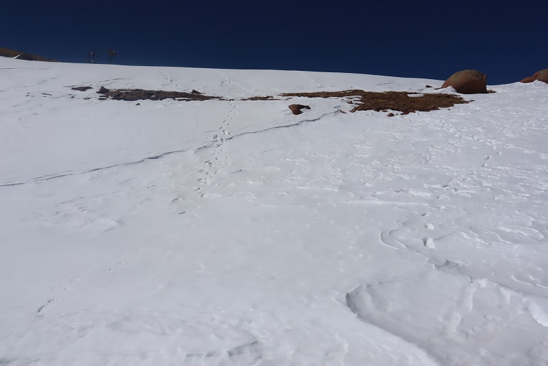

We followed the road back to the gate

And with the increased temperatures were a little worried about avalanche danger here

We gingerly crossed this area, and as soon as we were confident we were out of avalanche danger we put on our snowshoes for the long slog back down through snow, ice, and mud.

The snow on the roads was now mush, and once we got further down we started seeing tire tracks

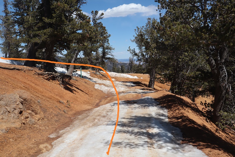
And more and more and more vehicles. I started to get worried we wouldn’t be able to drive out on this road because so many people were driving in.
We made it back to the truck at 2:30pm, making this a 14.5 mile hike with 2936’ of elevation gain in 8 hours. I have to say, the hike felt shorter with more elevation gain, but that may be because I was tired from my hike the day before.
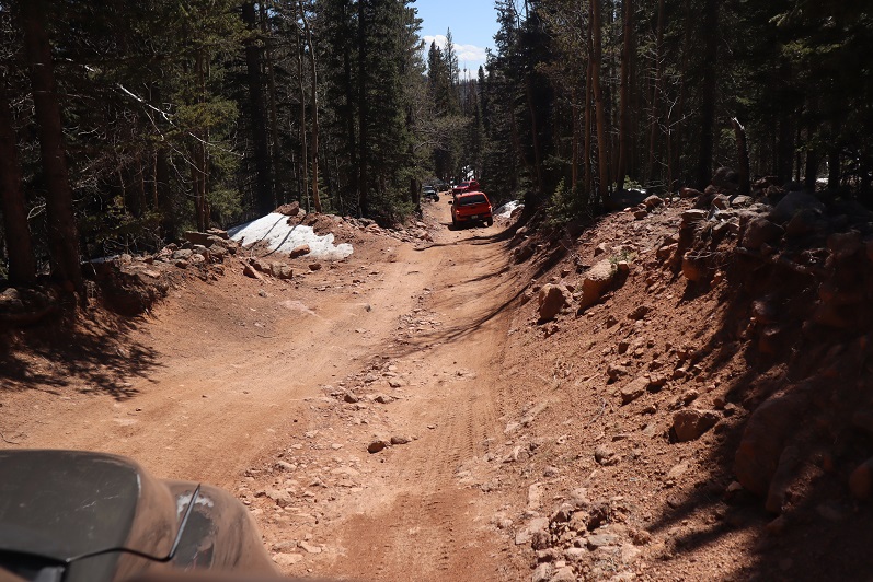
I decided to follow a few vehicles back to Old Stage Road, and this ended up being a fabulous idea: There were dozens of vehicles in the half mile back to the road all trying to go the opposite way. I applaud them for social distancing and still getting outdoors!
Have you hiked Almagre from Cheyenne Canyon? If not I totally recommend! It’s my favorite way to do it. Does include 5,000ft of elevation but totally worth it.
LikeLike
Sounds like a great route: I’ll look into it!
LikeLike