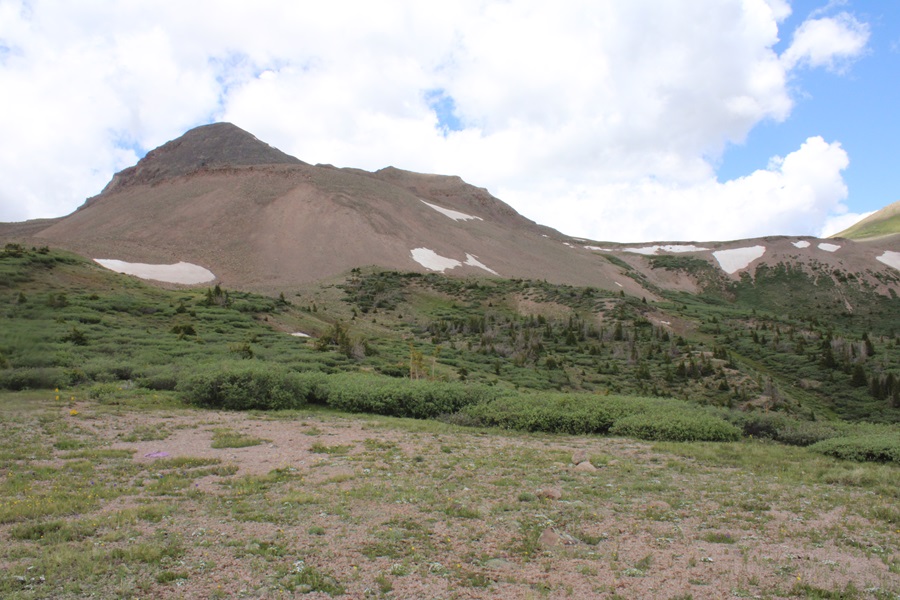
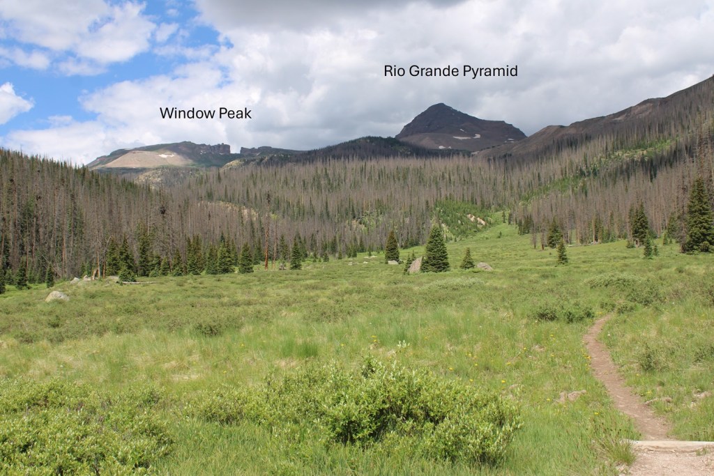
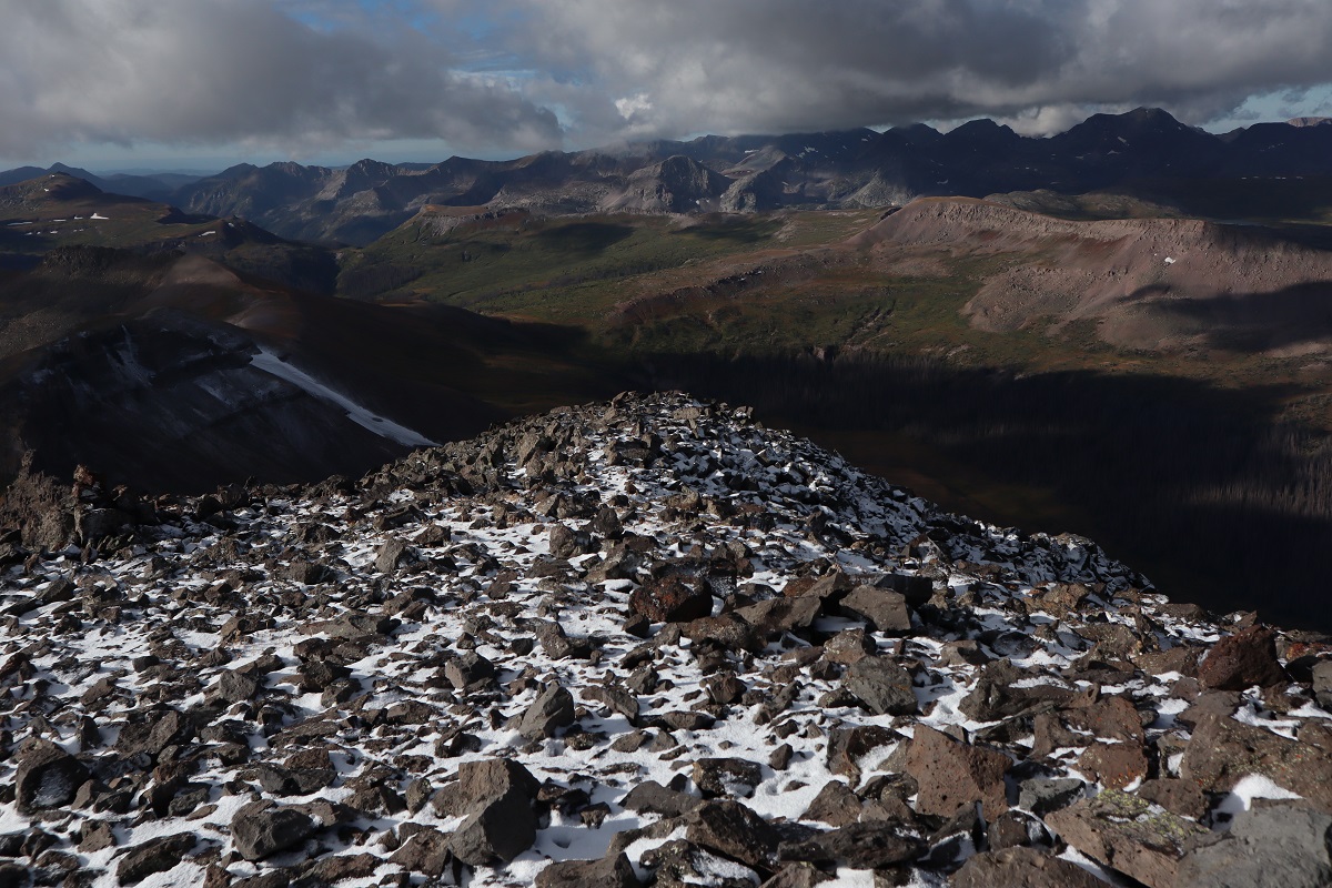
This report will get you to many of the 13ers and 12ers in the Rio Grande Pyramid Group, starting from the trailhead in Thirtymile Campground. It’s a 10 mile trek with 3150’ of elevation gain just to this basecamp, not including adding on mileage and elevation gain for the peaks, so while these peaks are certainly doable in a day if you’re fit and experienced, I decided the last time I was here to take my time and make it a several day trip on my next adventure. As an added bonus of spending the night at this basecamp, the views of Rio Grande Pyramid, Fools Pyramid, PT 13022, and Window Peak/Window Rock are breathtaking.
There are several ways to get to this basecamp at 12210’, and I’ve taken many of them, but the one I’m detailing here is by far the most direct and easiest to follow. The other trails require good route finding and navigating through endless willows, making the trail more difficult to find/follow, especially in the dark.
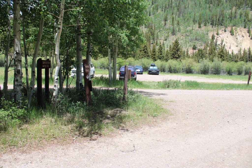
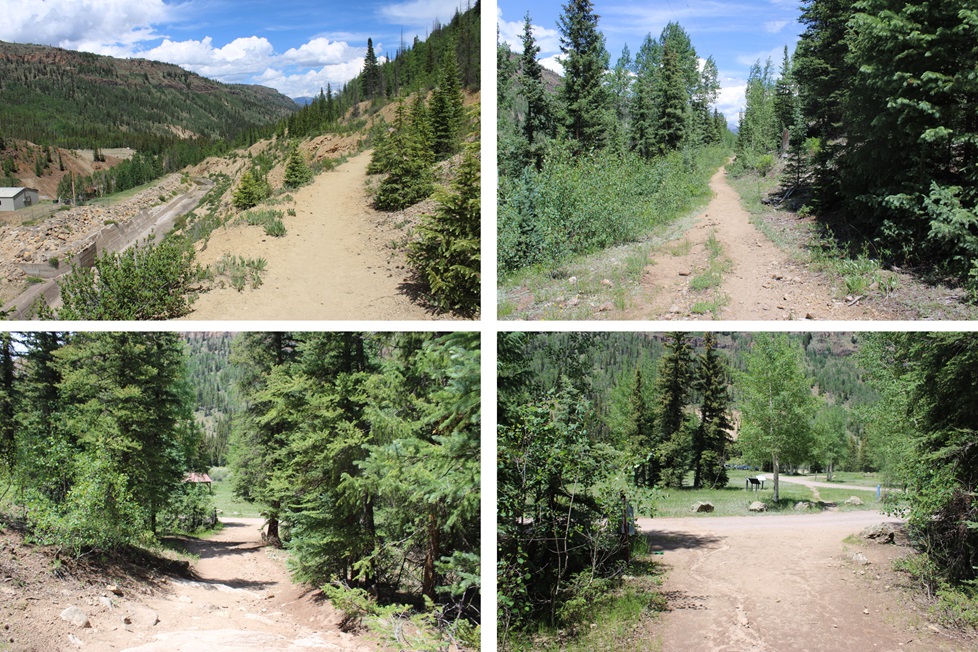
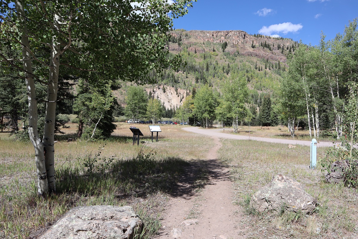
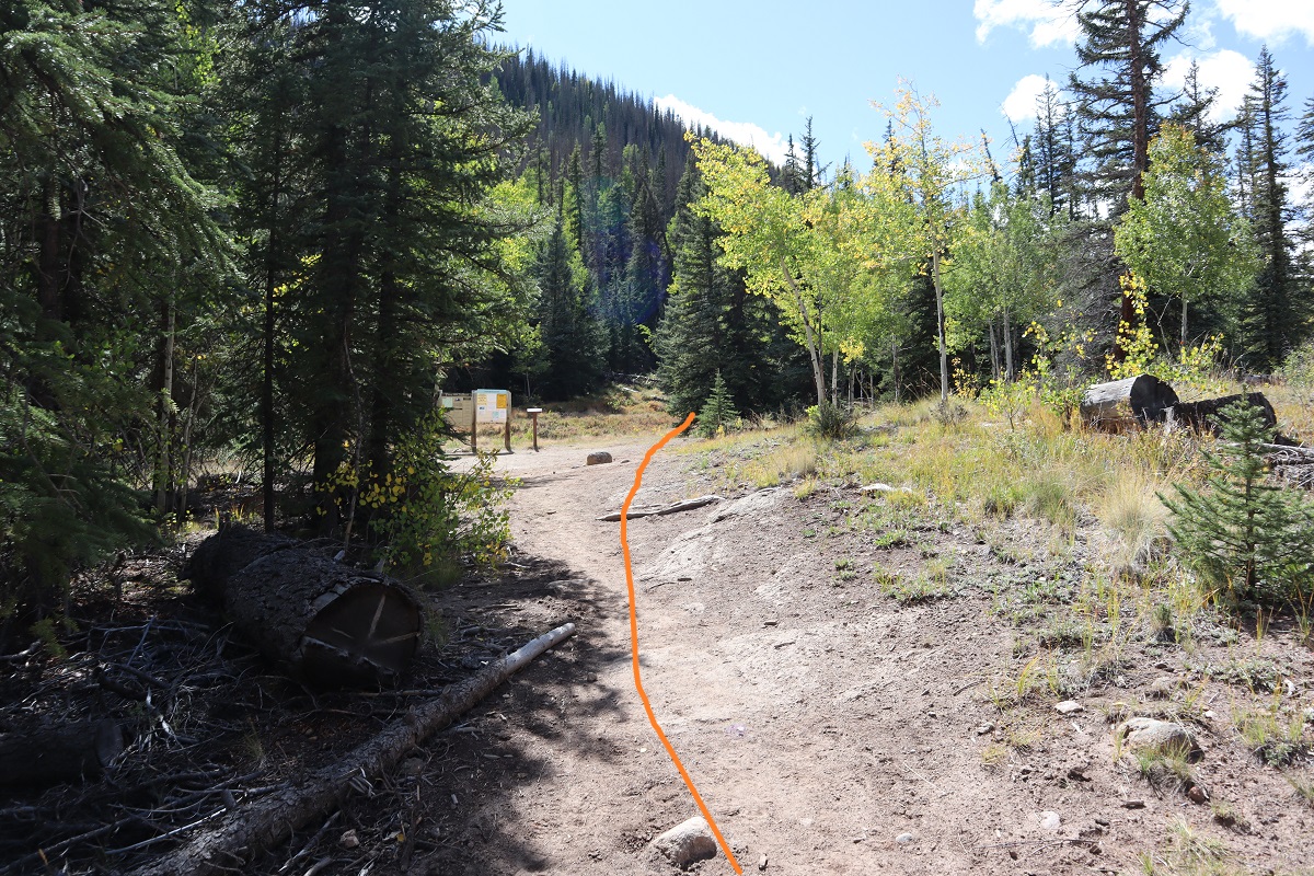
I started by parking at the hikers parking lot at Thirtymile Campground. There are plenty of spaces here, and bathrooms nearby.
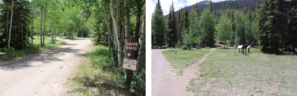
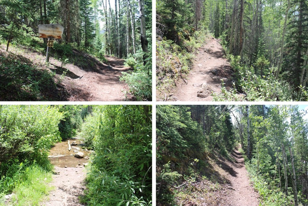
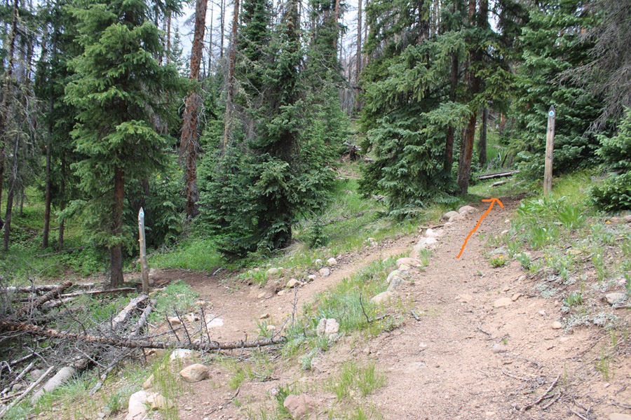
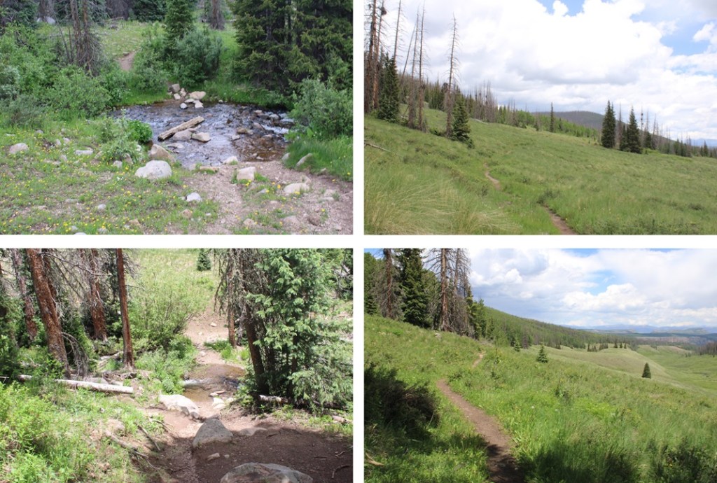
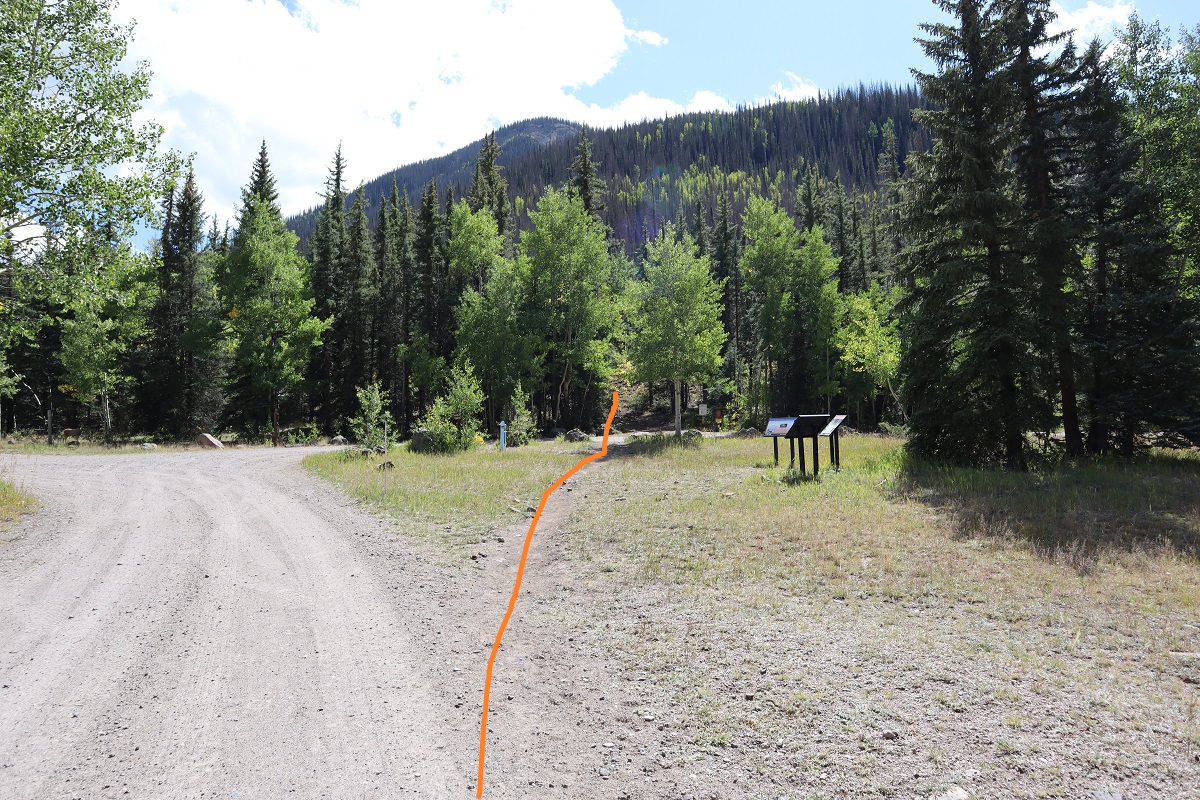
The trail starts to the south of the parking area, and is clearly marked
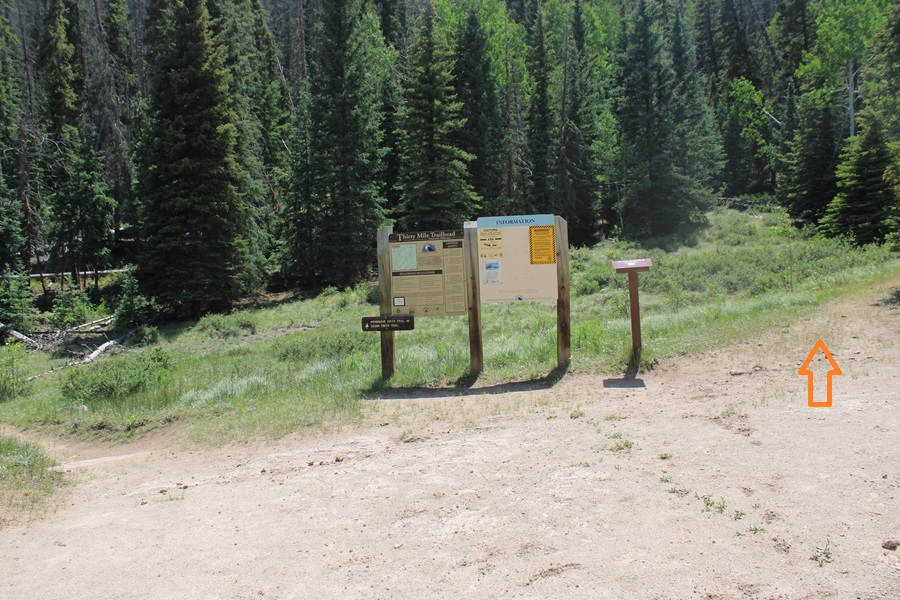
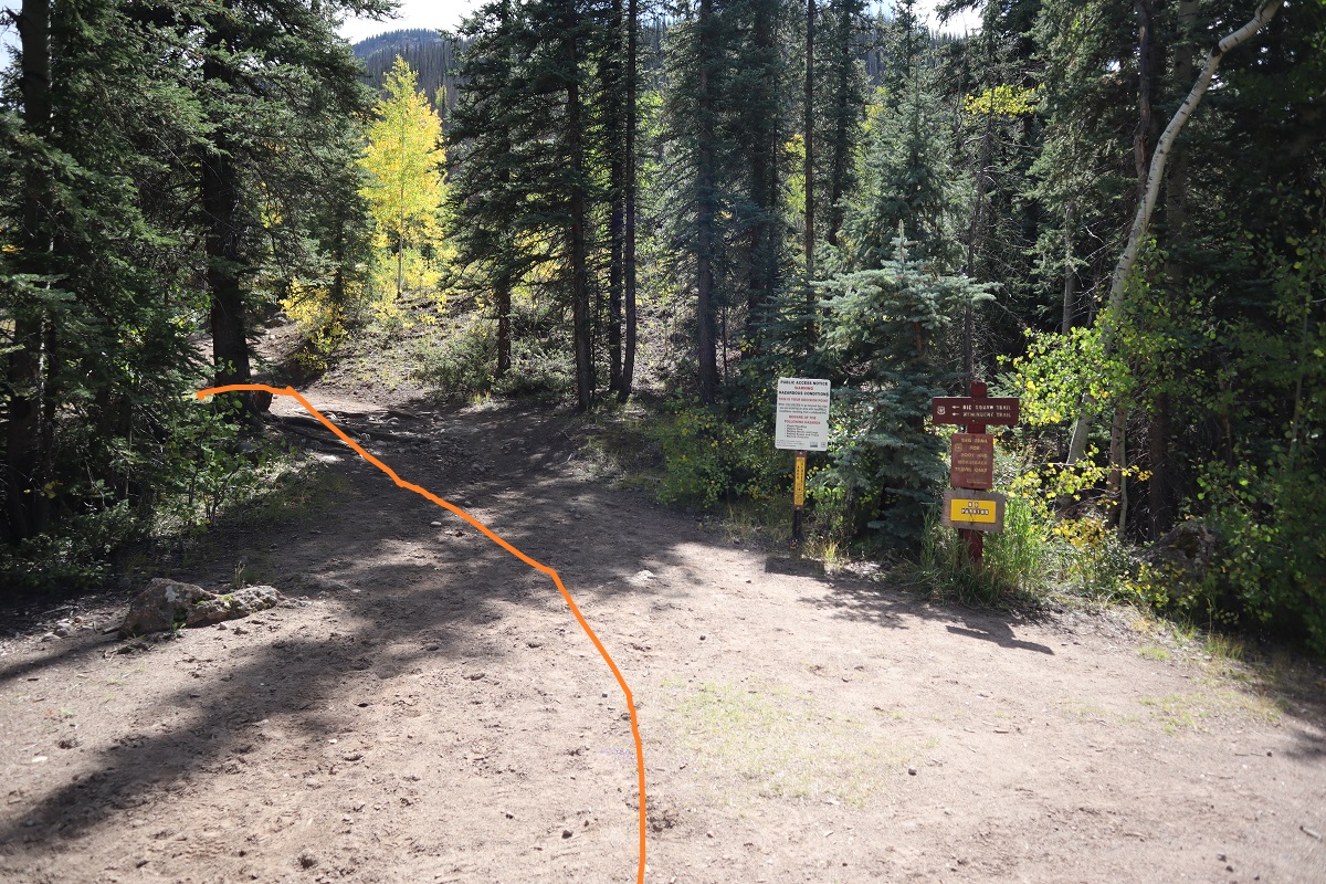
After hiking for a short distance you’ll come to a trail register. Here you have two options: Squaw Creek Trail to the left, or Weminuche Creek Trail to the right. Take the trail to the right.
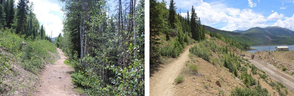
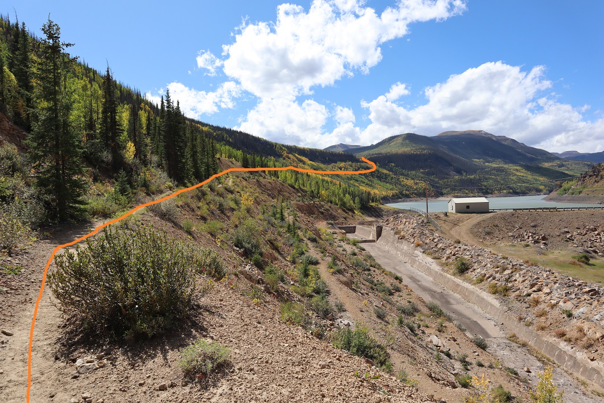
I followed Weminuche Creek Trail (818) for a total of 7.25 miles. This trail starts off by skirting the south side of Rio Grande Reservoir
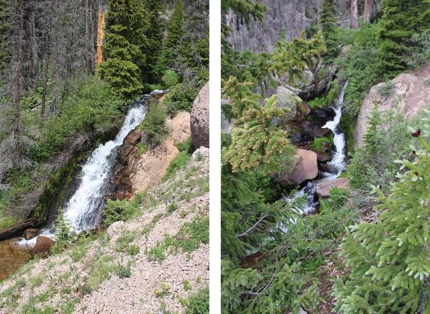
Then the trail goes through a rocky section before crossing a waterfall. The waterfall is about 2 miles into the trek.
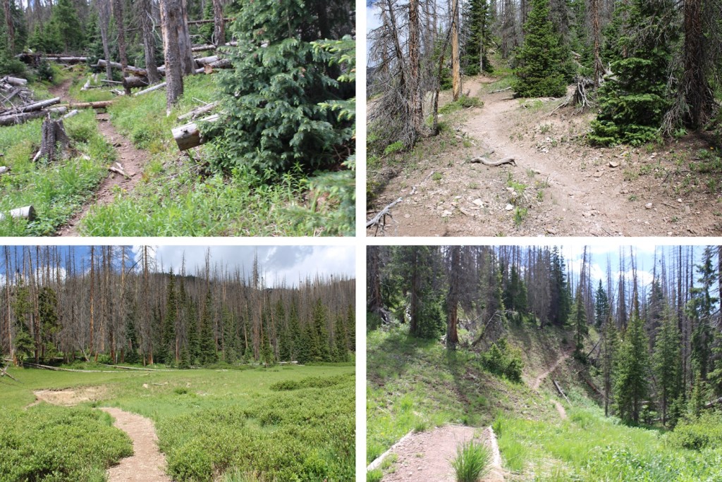
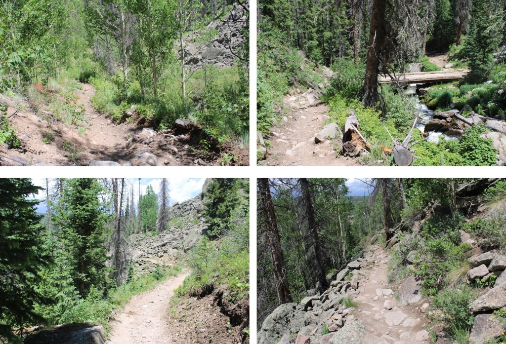
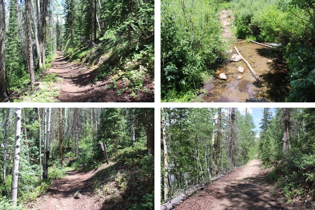
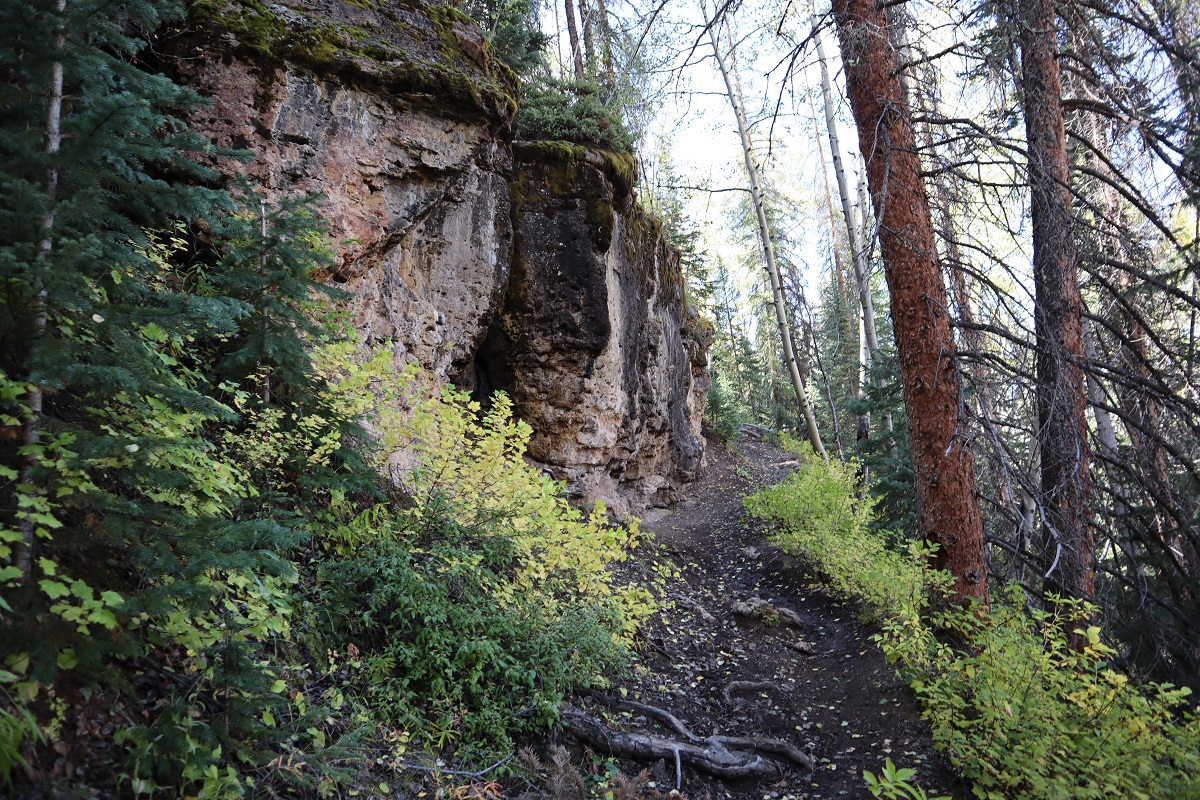
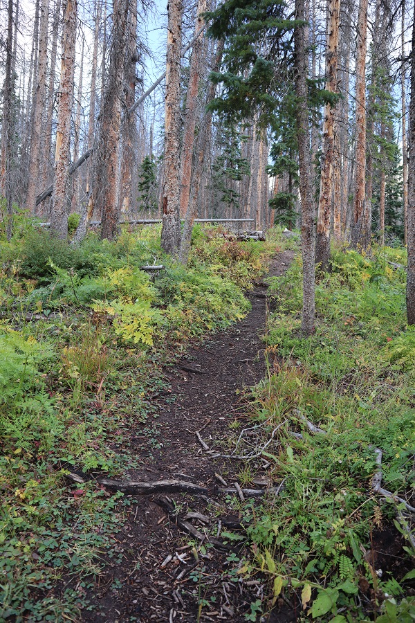
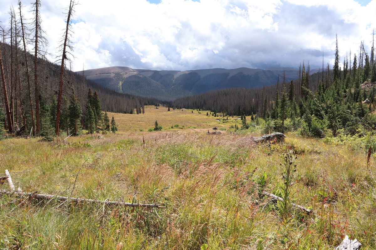
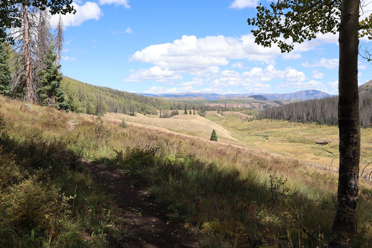
After the waterfall, there was a quick uphill section that would bring me to a large gulch, sprinkled with sections of hiking in the trees and small creek crossings. I followed the trail southwest for another 5 miles.
Just after this post (which indicates the cutoff for the Opal Lake Trail, which I wouldn’t recommend taking, as it will lead you through bushwhacking adventures to the murderous willow section), there are some nice camping spots to the left, should you want to camp here. There’s a fire ring, and the ability to filter water.
I continued on the Weminuche Trail, always staying to the right of Weminuche Creek.
After hiking for a total of around 7 miles, I came to the cutoff for the Continental Divide Trail. Here I went right, onto the Continental Divide Trail.
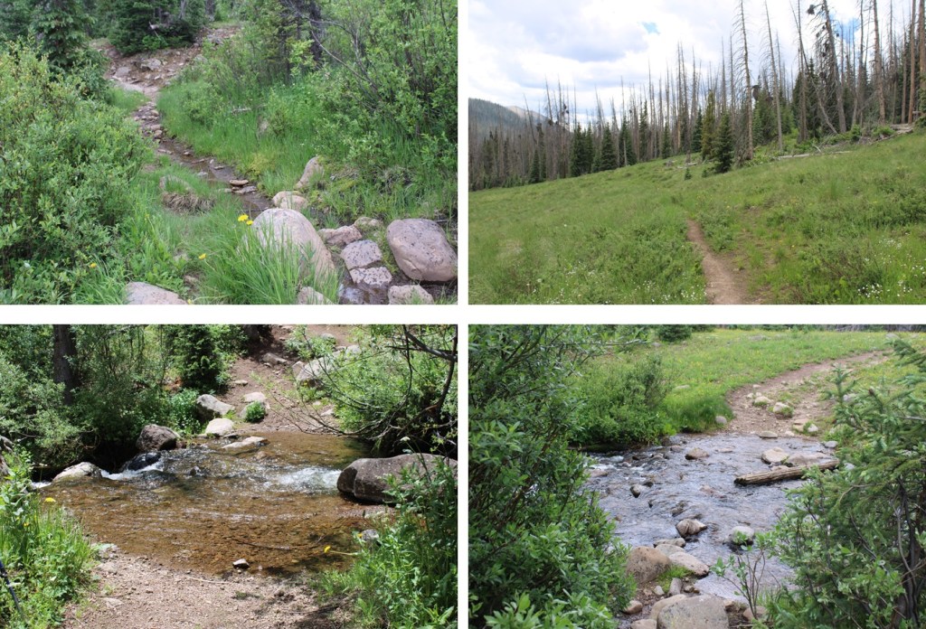
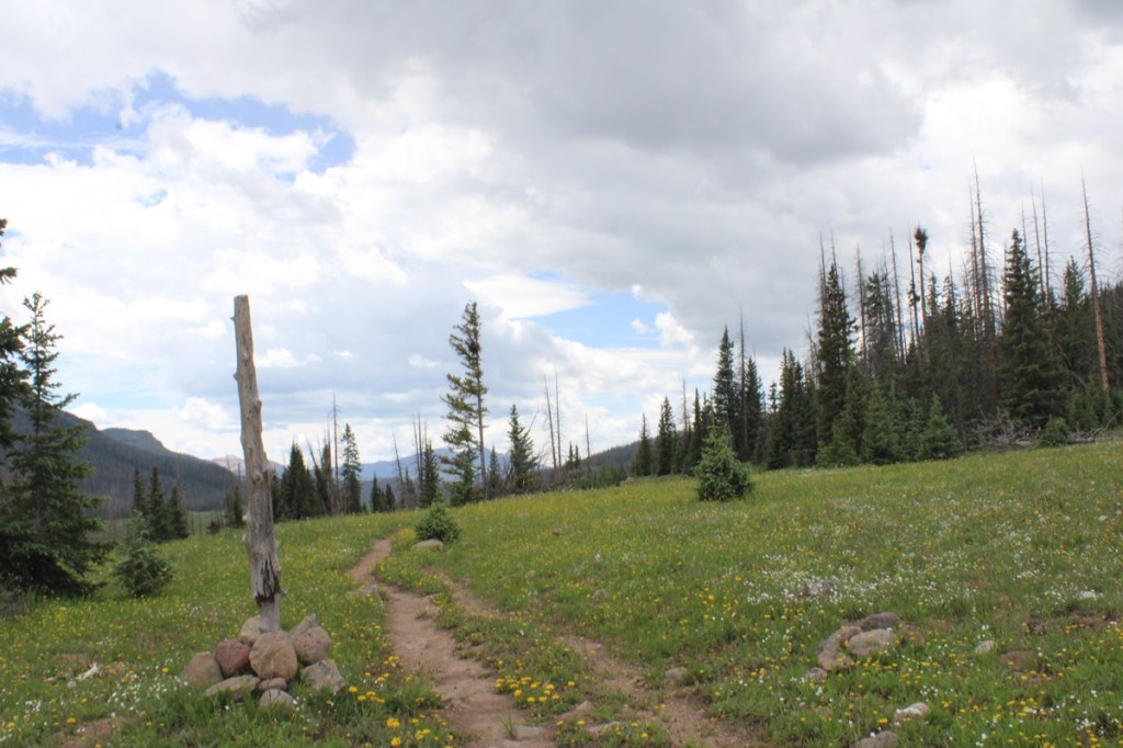
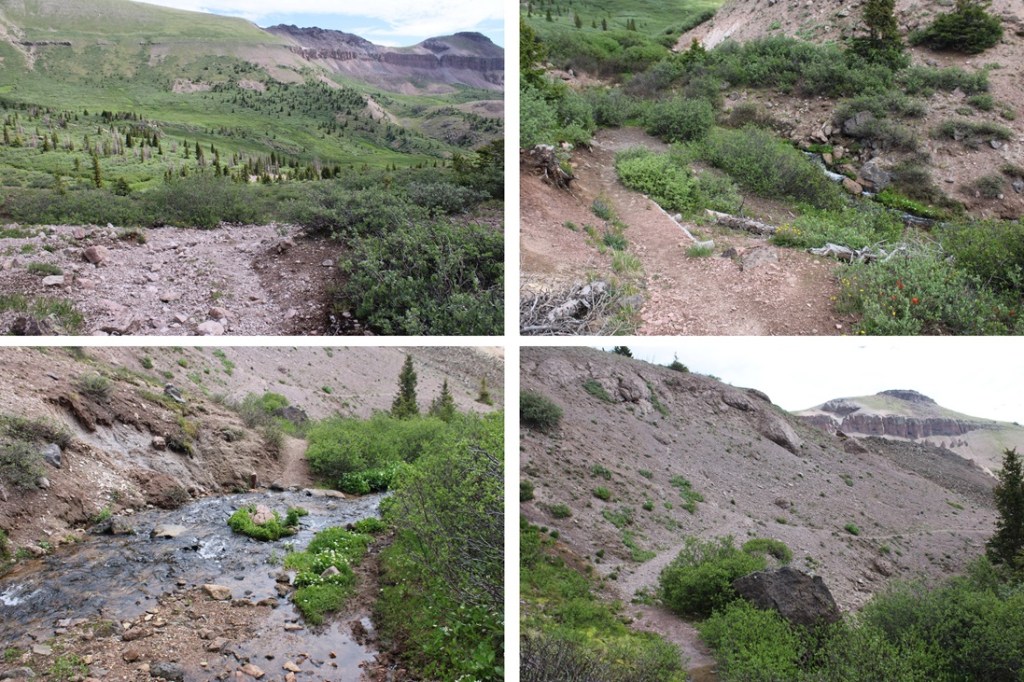
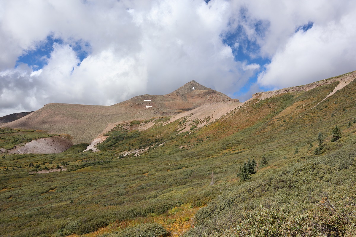
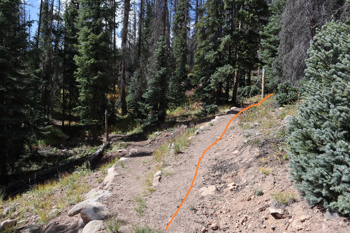
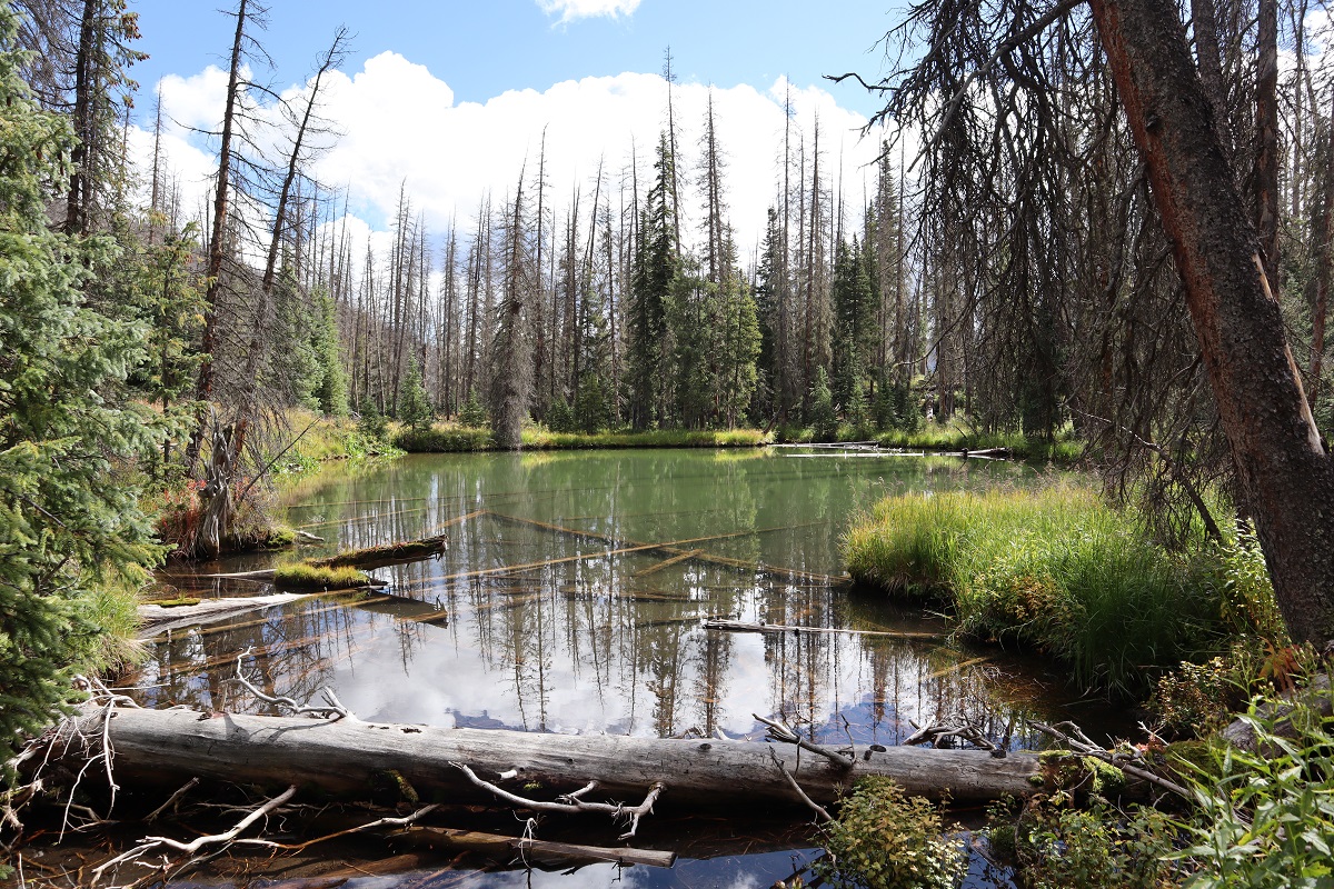
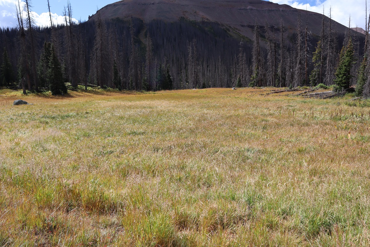
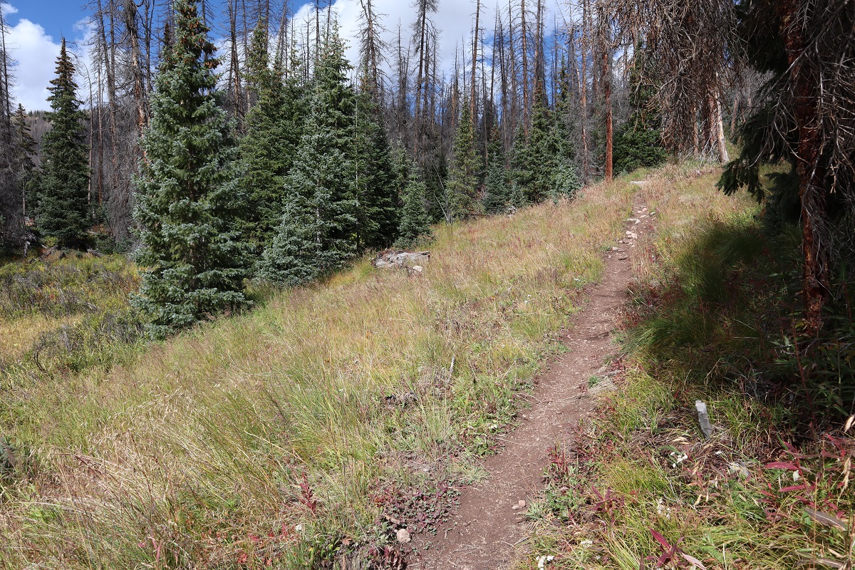
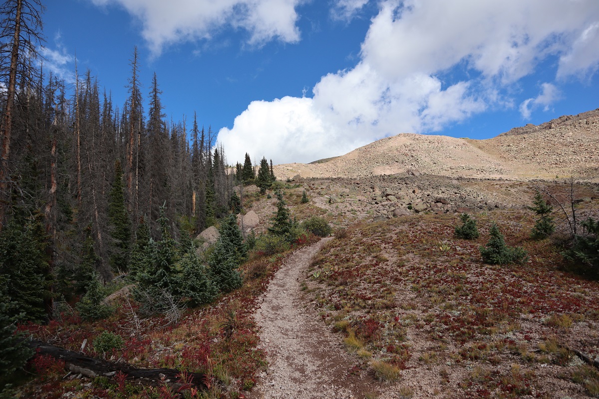
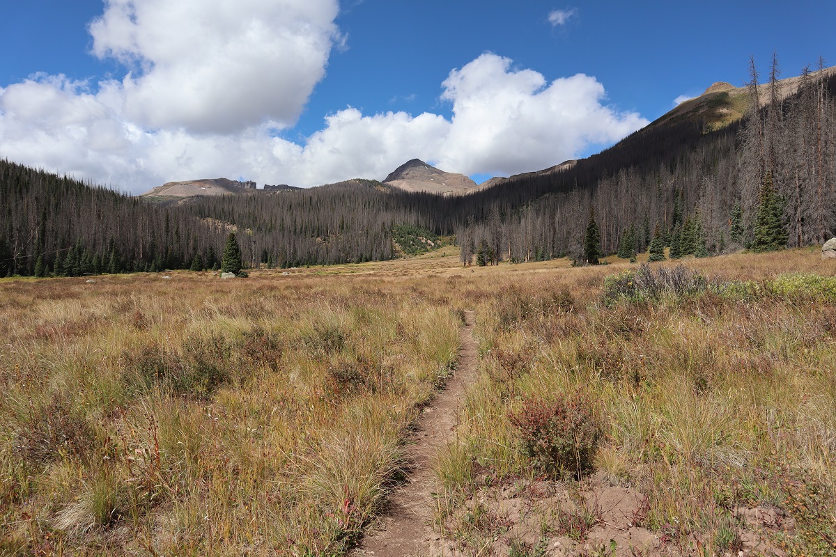
This is where the fun (elevation) begins. For the next 3 or so miles it was uphill all the way, across meadows, around ponds, through trees, beside waterfalls, and through rocky areas. From the very beginning you can see Rio Grande Pyramid to the northwest. Just keep heading that way.
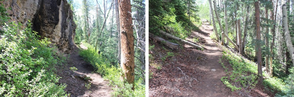
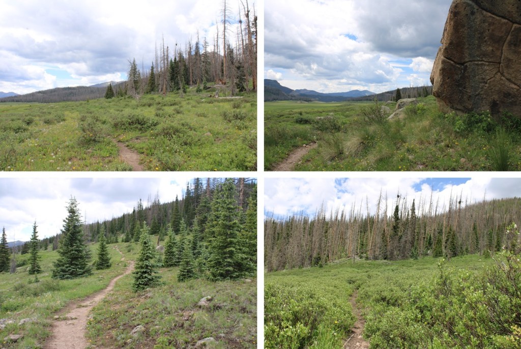
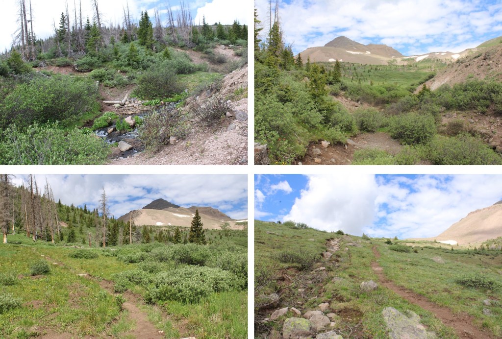
Here are some pictures of my way towards treeline
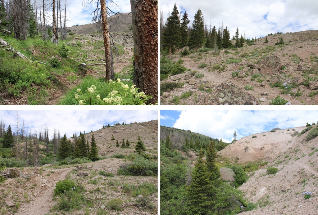
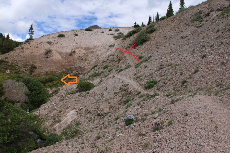
Just before treeline I came to a sandy area. I’d been here before. Make sure you take the trail to the left, across a small creek, and DO NOT take the sandy trail that goes straight. This will lead you into the willows.
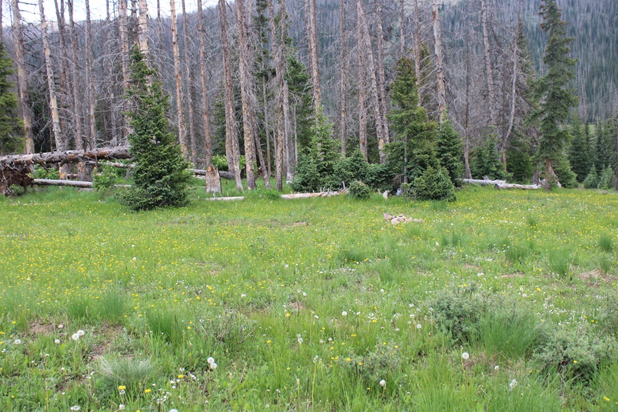
I crossed the small creek, and followed the trail for about another half mile, to about 12210’ of elevation.
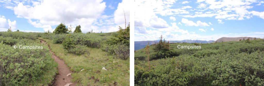
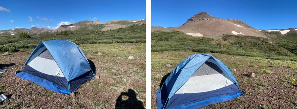
Here there was a willowy area to the left, and a few yards away, plenty of camping space. The camping area are hard to see from all those willows, but trust me, they’re there.
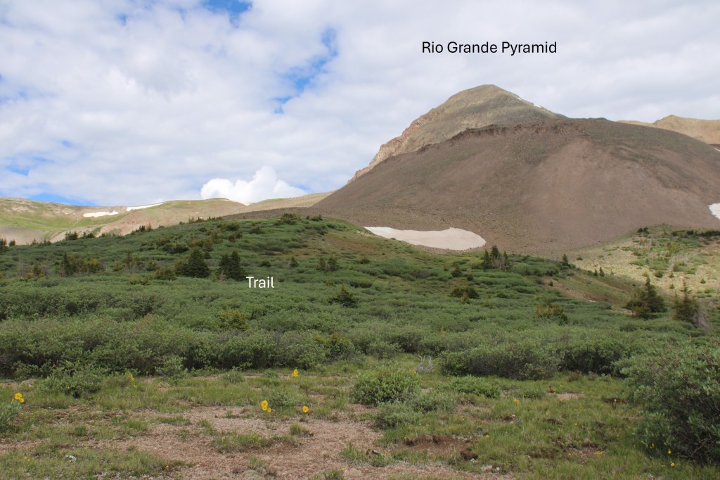
From my campsite, here’s my view of Rio Grande Pyramid. The trail is in those willows.
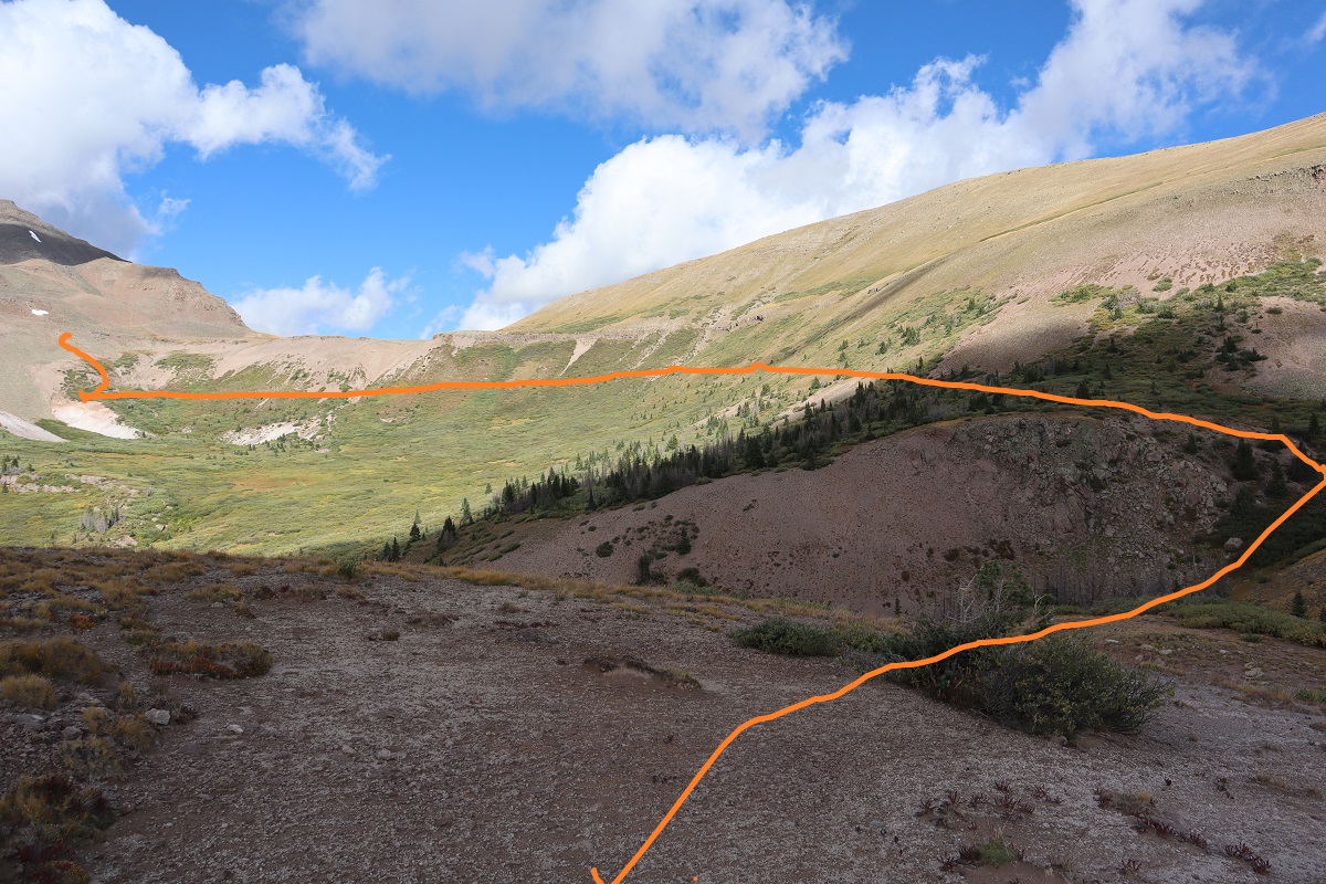
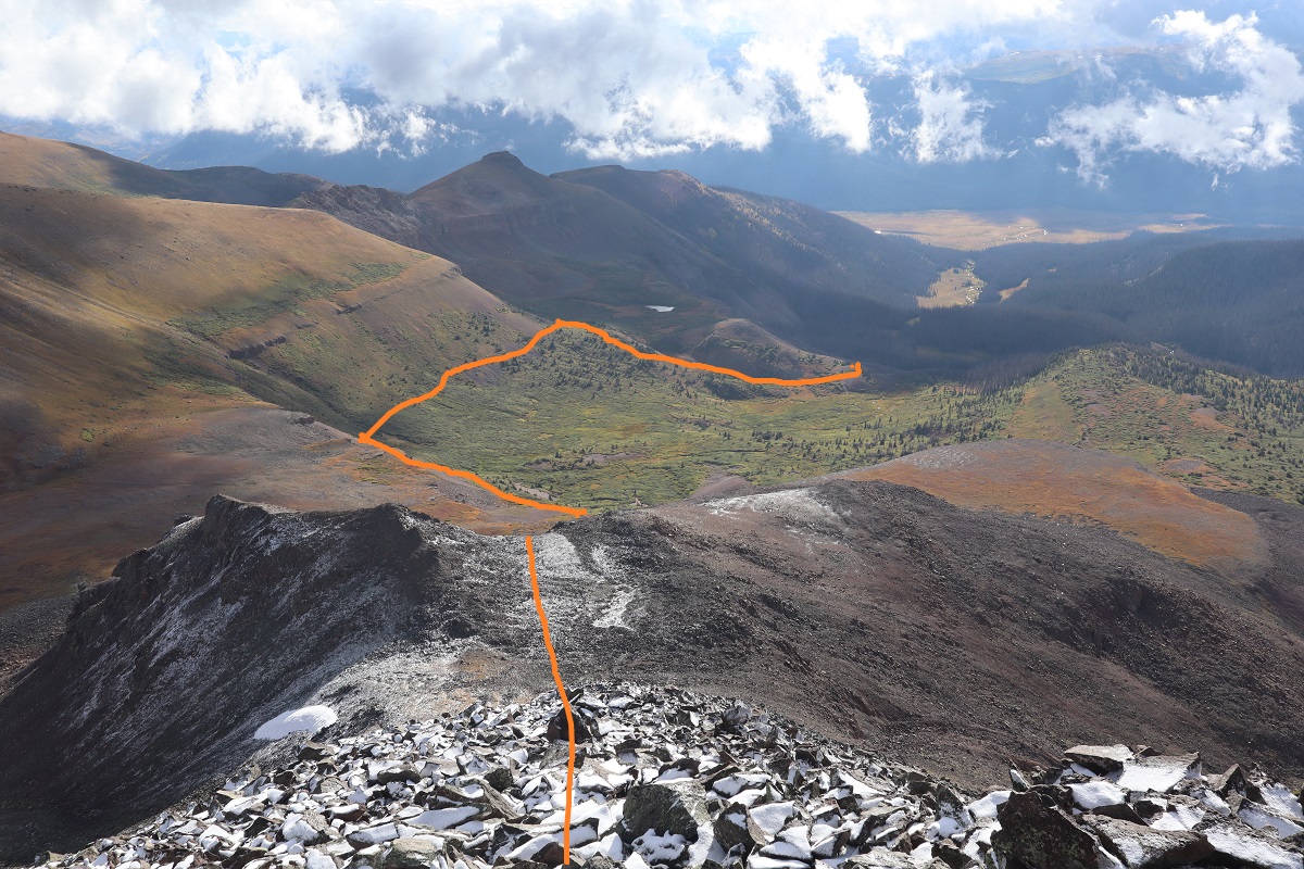
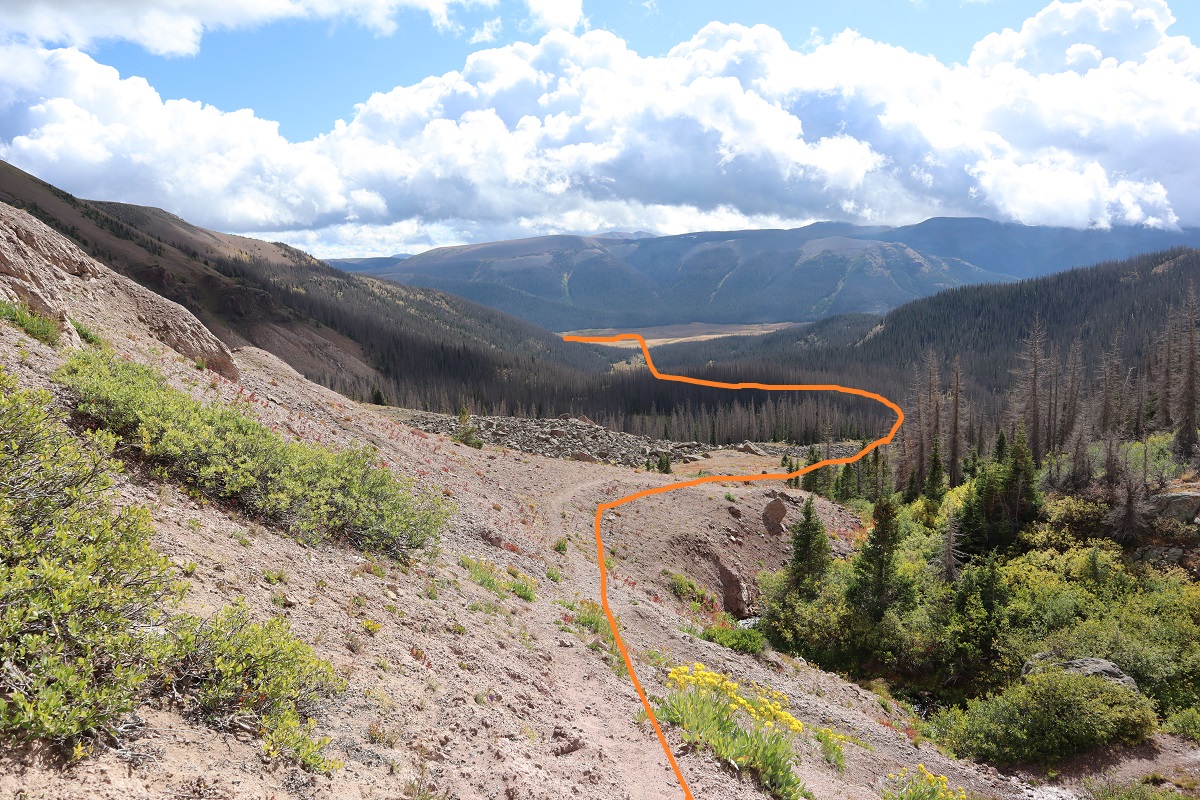
From here you’re at a great base area to climb 13022, Window Peak, Rio Grande Pyramid, Fools Pyramid, 13274, and various other peaks in the area. Here’s a topo map of the route thus far:
I finally received my new camera in the mail and was quite excited to try it out. I left my house at 8pm and arrived at the Thirty Mile Campground at 1am after a long but easy 2WD dirt road in. There’s a designated area for backpackers/hikers to park.
I really wanted to get out on the trail, but as soon as I parked my truck it started raining. Hmph! It was supposed to stop raining at 1am, but from the looks of things the rain was just getting started. So I got all ready to go and then leaned the drivers seat back and tried to get some rest. I set my alarm for 20 minute intervals, and after the fourth time realized the rain wasn’t going to stop so I might as well get going. I put on my poncho and snow gear (I’m still in the market for waterproof pants, choosing instead to get the Alti Mitts this month because keeping my hands warm is more important) and headed out on the trail.
This is the start of the trail. It follows the Weminuche Trail.
I signed the trail register (which was a mess!!! It needs a new notebook) and was off
The beginning of the trail is easy to follow, if a little muddy. Since it was raining I expected the mud. I hiked alongside the Rio Grande Reservoir and after a little over a mile I turned left and headed up the drainage area. As I was hiking here I heard a loud “snap” and figured I’d scared a deer.
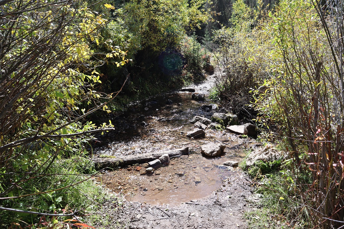
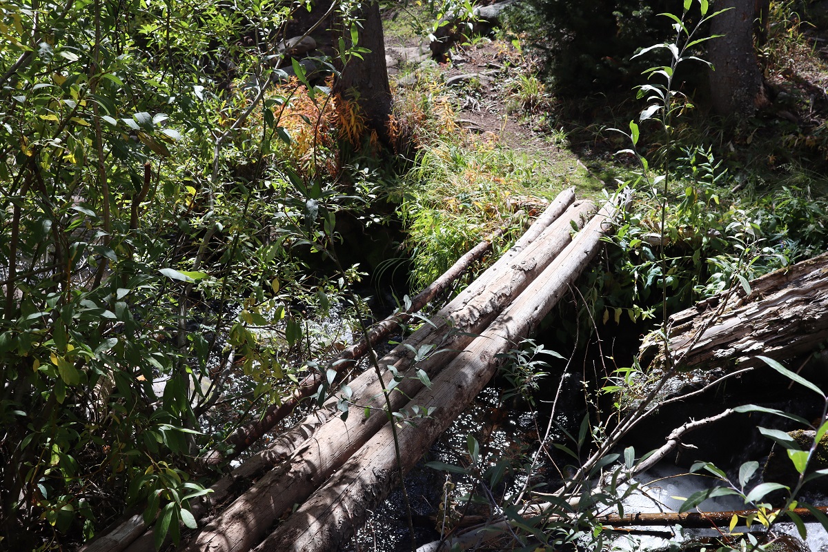
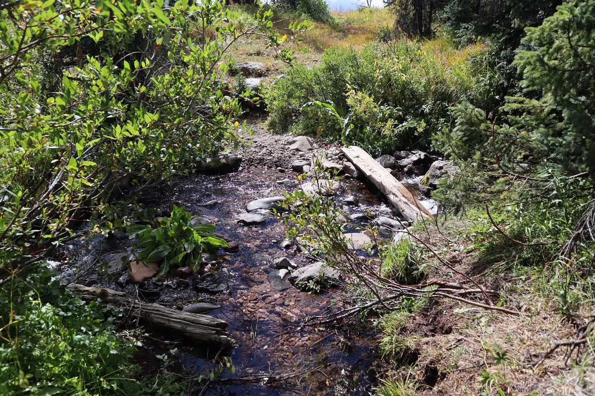
There was an easy creek crossing
and lots of mud (mixed with horse manure)
After turning the corner to the left (south) I encountered a small boulder field
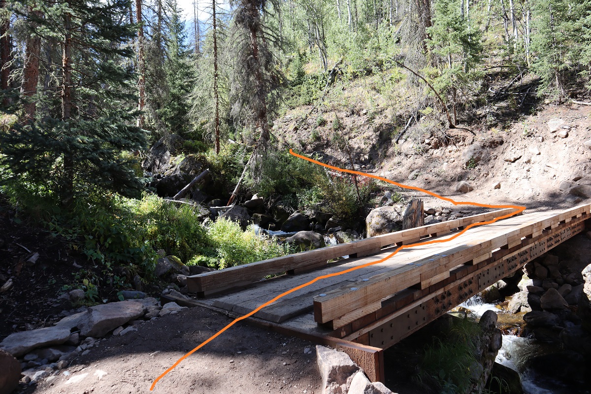
Before coming to a well built bridge at 2 miles. I crossed the bridge and turned left. It was still raining.
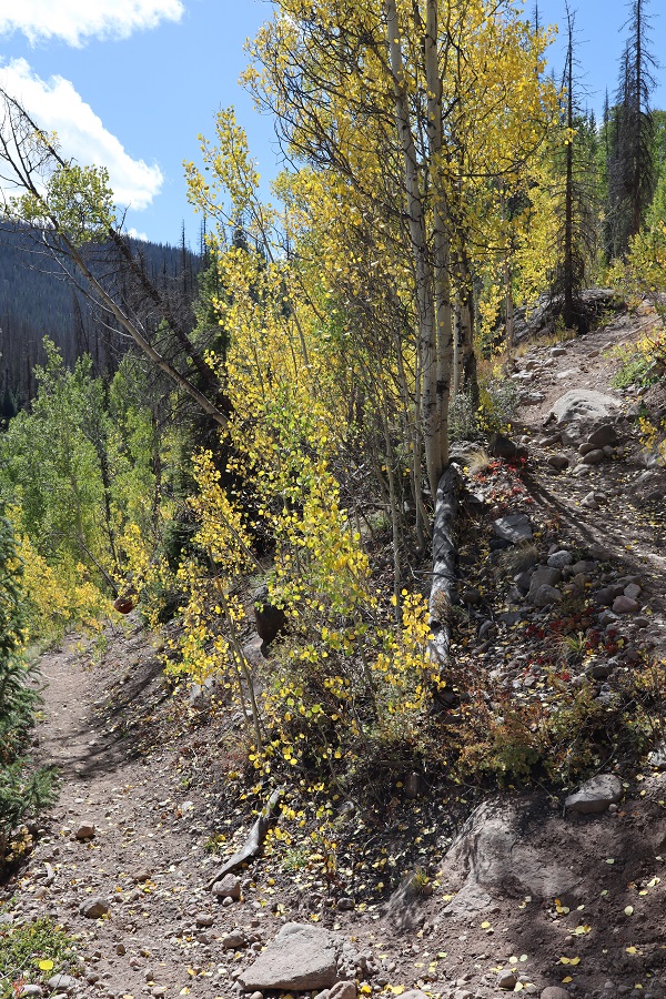
From here the trail switchbacked a bit through some aspen trees
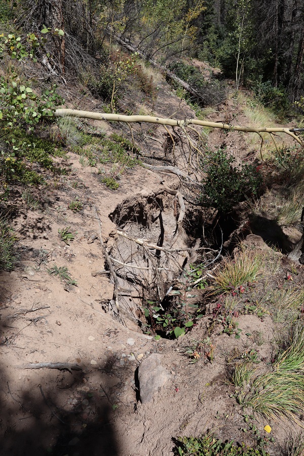
and was a bit washed out in areas but there were side trails to navigate the damage
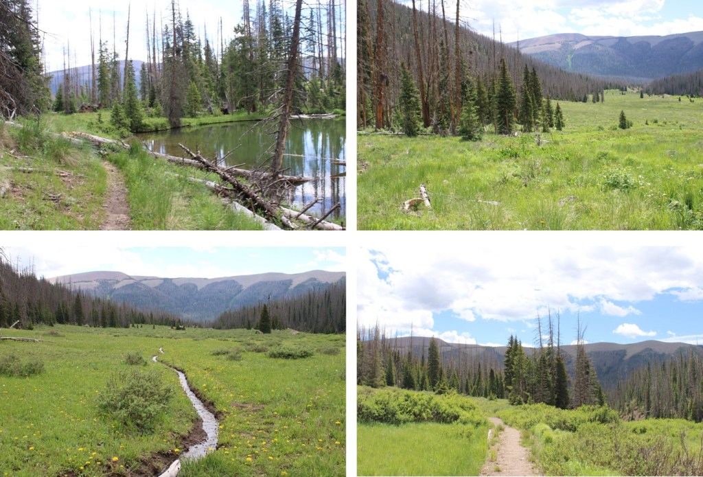
From here I hiked for what seemed like forever along the CDT. Forever. It was relatively flat hiking and I could tell I was in a basin, with lots of large boulders strewn about and open space.
At 4.2 miles I came to another stream crossing
and continued hiking in the mud (and rain) to another stream crossing at 5.3 miles
There also seemed to be camping here
Still on the CDT, I went right here
and kept following the CDT
After 6.8 miles I came to the CDT Junction and once again stayed right
Now heading west I passed a small pond and celebrated the rain stopping (finally!!!)
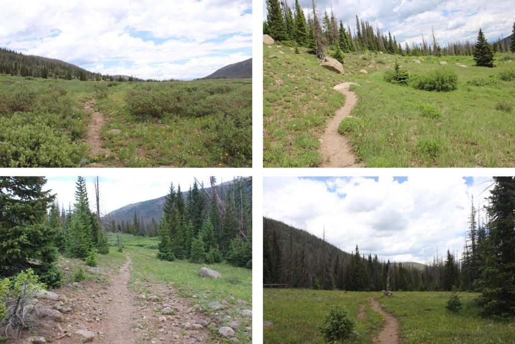
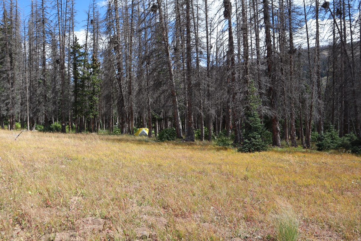
I entered and exited trees and came to an area that looked good for camping after about 8.5 miles
I entered the trees again
and after what seemed like forever (9.5 miles actually) I made it to treeline! Still on a good trail I passed another small boulder field
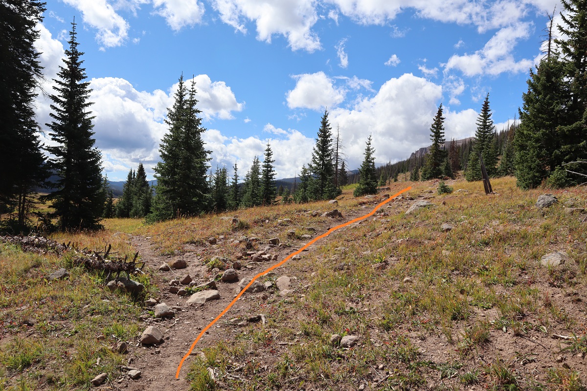
At the top of the boulder field I had a choice to go left or right. I went right (although both ways will get you where you need to go). Overall, I felt the way I chose was shorter (at least, it should have been if I’d taken the direct route the first time and not got bogged down in the willows).
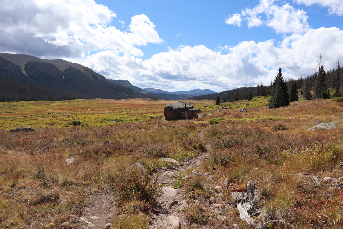
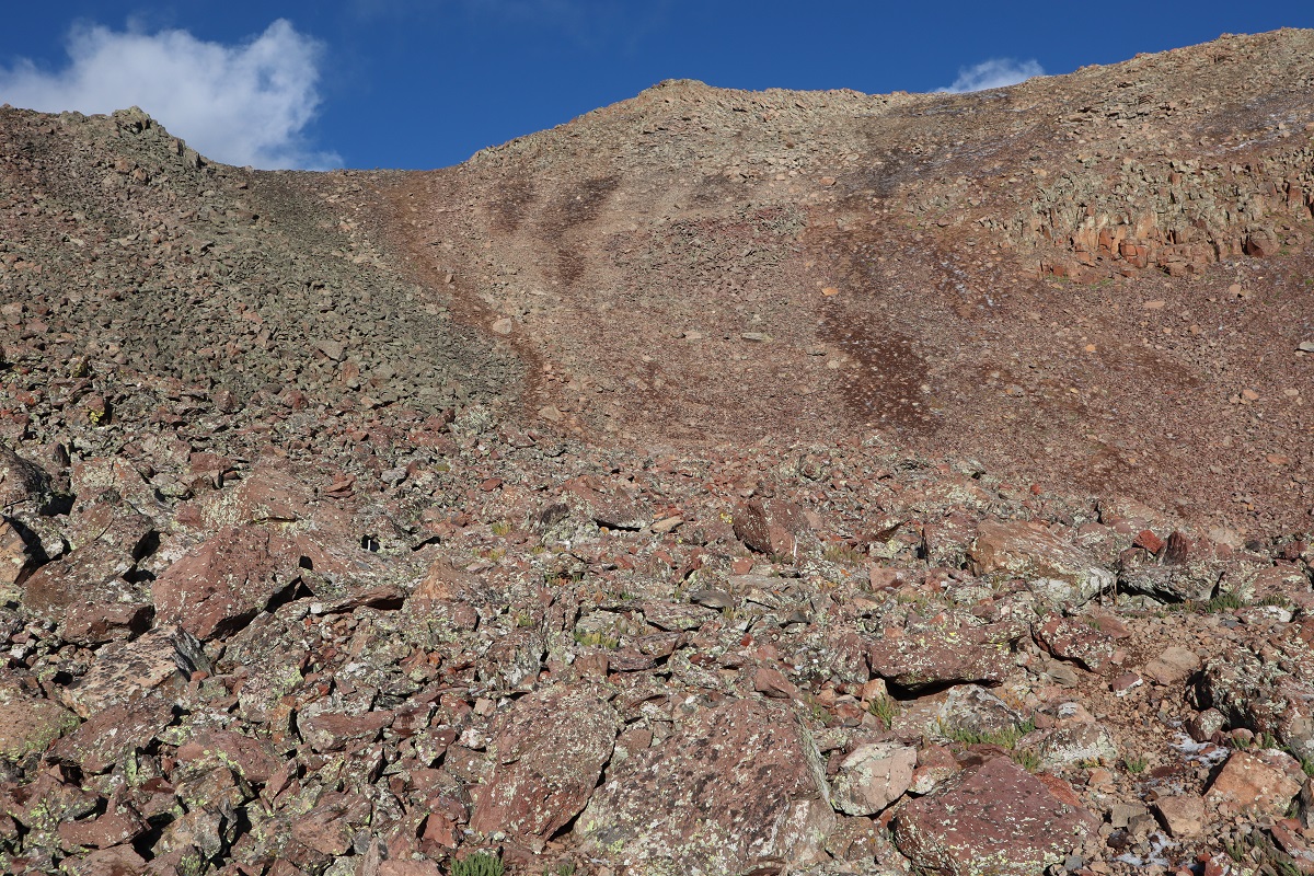
I made it to the top of the hill and this is what I saw. All I needed to do was to make my way around the willows to the gully and ascend the rest of the way to the peak. Also, it was evident it had been snowing on the peak while it had been raining on me this morning
Here I lost the trail, and initially tried to cut across the willows and head straight for the gully. That didn’t last long: there were little streams everywhere and boggy areas and the willows were saturated with water (so I became so as well). It looked like there were trails through the willows, but they always ended at a stream and an area of willows too thick to pass.
I retraced my steps and went right (northwest) and trudged up the hillside. Eventually I found a surprisingly intact trail and followed that around the mountainside and up towards the gully (on my way back I followed the trail further, knowing where it began).
Here there were still willows but they were much more manageable. An added bonus was the sun was starting to warm things up and evaporate the rain. I was still “soaking wet” but now I was able to dry off in the sun.
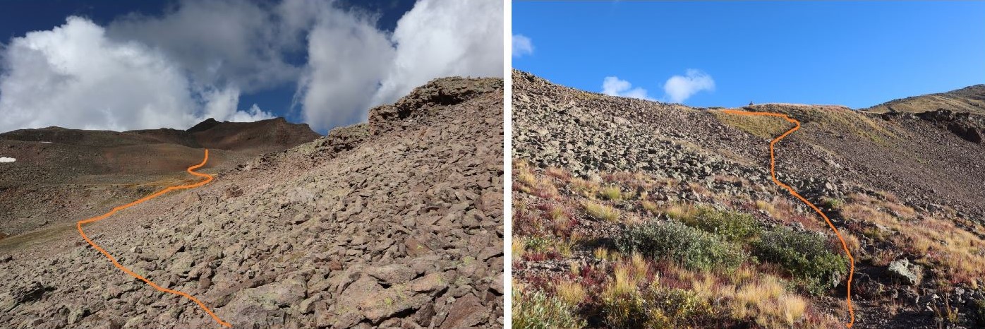
Once out of the willows I followed the cairns up the hillside and aimed for a class 2 gully
This gully wasn’t really that bad…
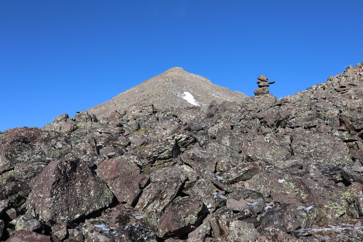
and at the top there was a cairn
All I had to do now was head straight up the slope to the summit. Unfortunately, here is where the sprinkling of snow began. It didn’t require traction, but it did require careful footing, as a lot of the snow had turned into ice.
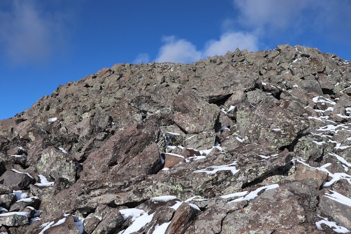
The boulders were a bit loose, but I found several dirt paths that led straight up
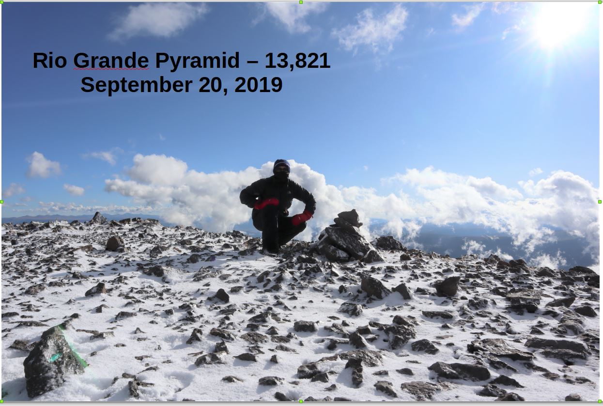
After hiking for 11.7 miles I summited at 8:50am
Summit:
It was really, really windy at the summit, and while it had looked clear while hiking up from below, now I wasn’t so sure. The wind and snow made it cold, and looking at those clouds I wanted to make it down as soon as possible. Those mitts has been a good choice.
Route finding on the way down was much easier than on the way up.
Here’s a look at “Fools Pyramid” if you’re thinking of attempting it. I had another big day tomorrow and I was worried about the potential snow for today so I didn’t head that way, but it’s definately something I’d consider in the future. I found a really great camping spot near treeline (before the boulder field by a stream) that I’d like to hike into some day, spend the night, hike “Fools Pyramid” and PT 13,261, camp again, and hike out the next day. Today was not that day.
Once at the top of the basin here’s the route back on the CDT
The further I descended the more the wind picked up. I heard what sounded like gunshots and realized I was hearing trees falling over. I kept looking at the clouds, wondering if it was going to rain again, but the wind seemed to blow them away as quickly as they came.
On my way down I came across a strawberry patch and even a few raspberry bushes.
Back down in the basin I had a clear view of the trail in the daylight. What I thought might have been tents in the dark ended up being large boulders. The wind here became insane. I’d stir up a bird as I was walking on the trail, and startled, it would try to fly away, only to be swept sideways in the wind. This happened about a dozen times (the birds were sheltering from the wind in the bushes) and I felt bad every time one took to the air. They were usually pushed by the wind sideways into bushes.
Just before I made it back to the bridge I came across someone who had all the right equipment but looked too clean and tidy to be a thru hiker. I asked him where he was going and he said he’d just started and was trying to find a lake. I’d travelled pretty far and hadn’t seen one, and told him as much. His response was it was 180 miles in. I was jealous, and wished him luck.
The last 5 miles took what seemed like forever for me to complete, and I was glad I’d chosen not to summit those two other peaks: I was tired!
I made it back to the trailhead at 2:30pm, making this a 23.5 mile hike with 5115′ of elevation gain in 12 hours.