“Notch Mountain” – 9665’

RT Length:  .64 miles

Elevation Gain: 359’

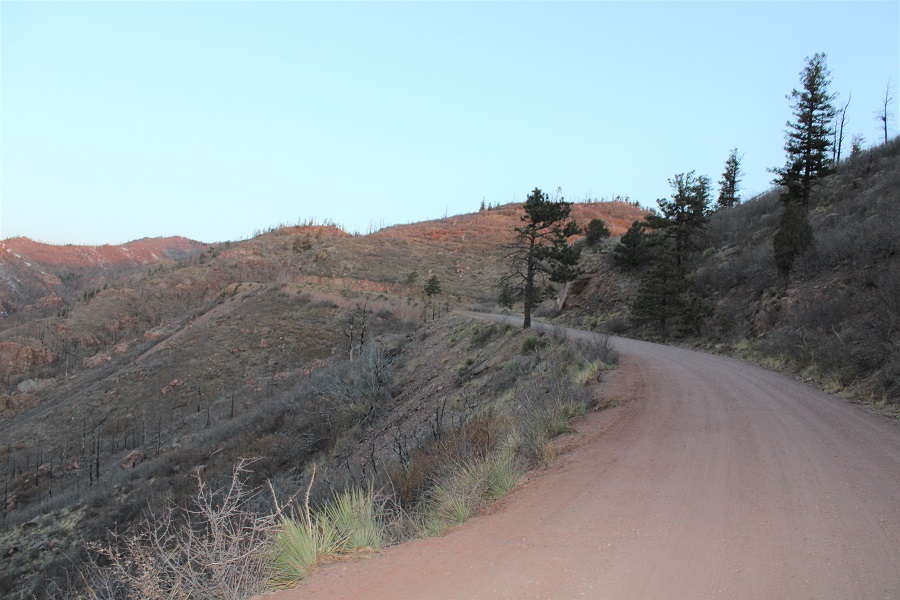
Second up for the day was Notch Mountain.  This was a very quick hike, and I’d recommend linking all three up together (or more).  Just for reference, I hiked Tuesday Peak, Notch Mountain, and Ormes Peak today.  From where I was parked for Tuesday Peak I drove 1.15 miles further north on Rampart Range Road.  If you’re starting from Rampart Range Road in Garden of the Gods it will be 13.15 miles total to the parking area for Notch Mountain.  As I was driving, I could see “Notch Mountain” ahead of me.

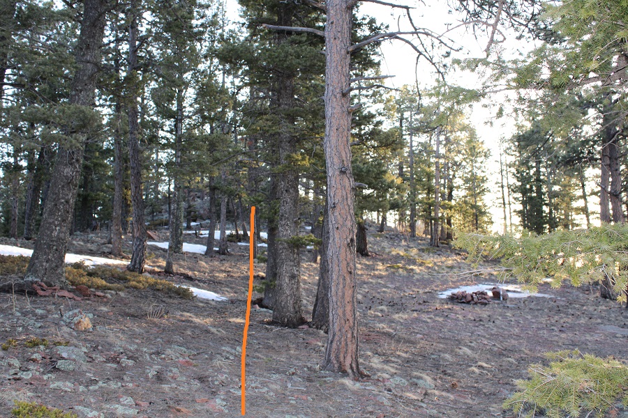
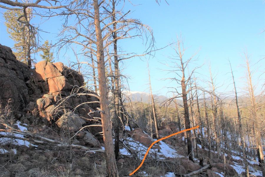
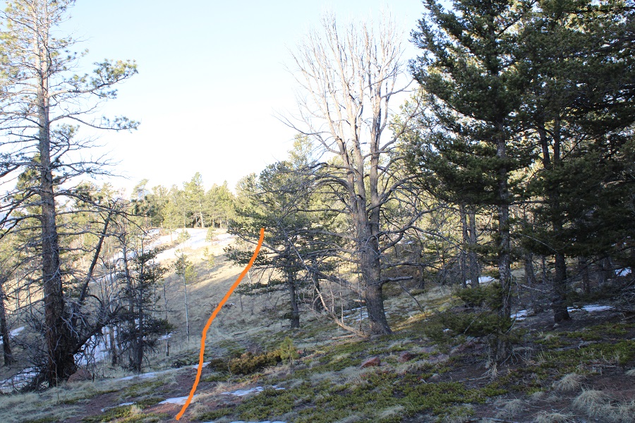
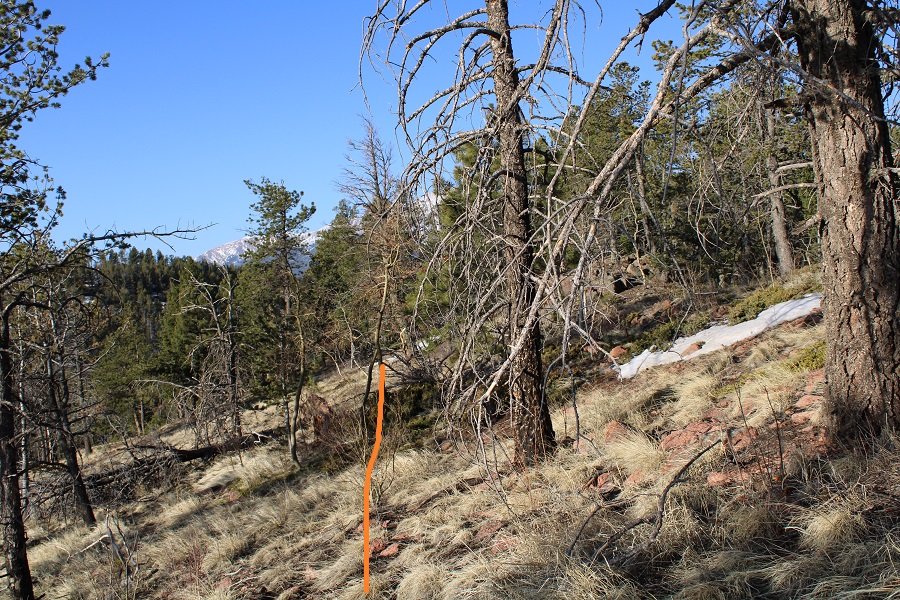
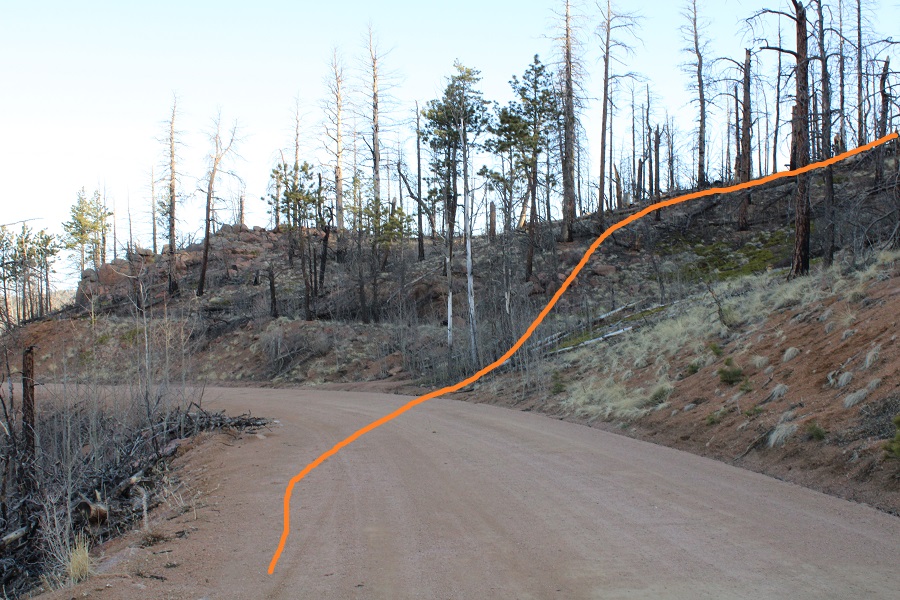
I parked at the base of the ridge and started hiking.  This is a quick and easy ridge hike, starting in the burn area

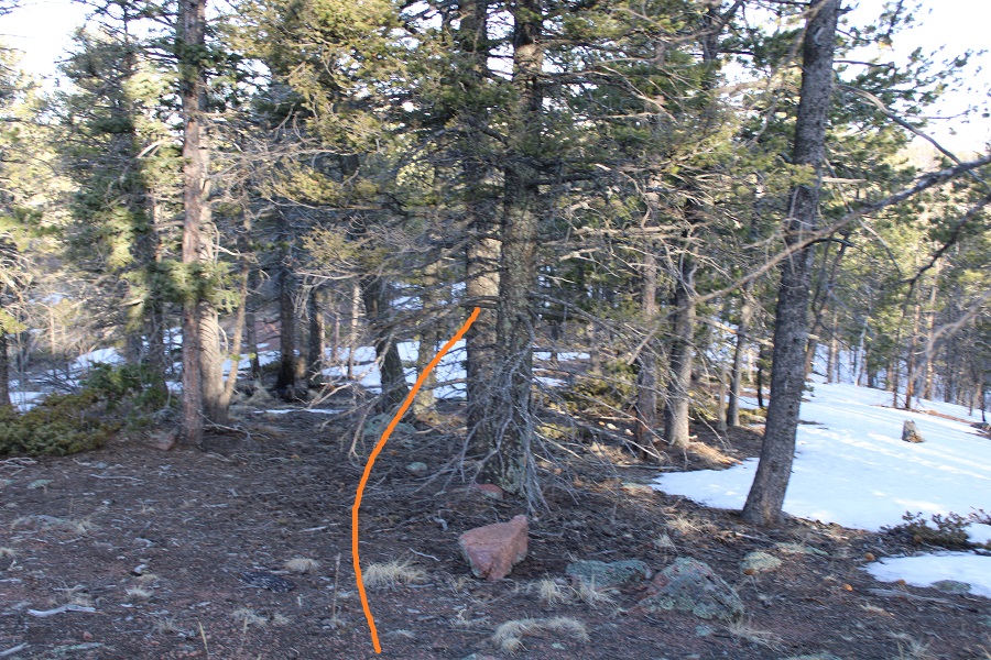
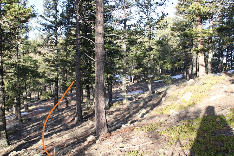
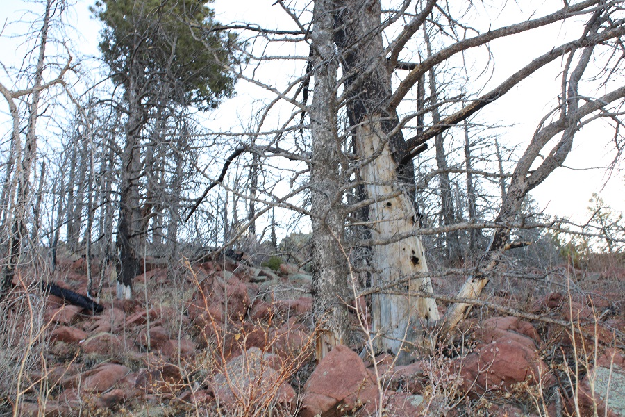
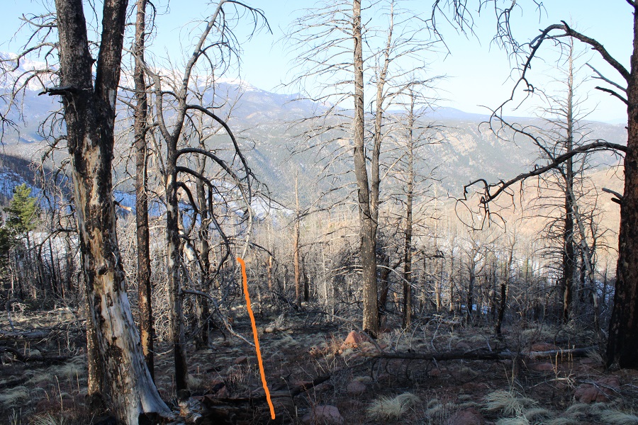
The most difficult part of this hike was navigating all of the deadfall.  I just kept heading northeast along the ridge.

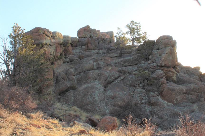
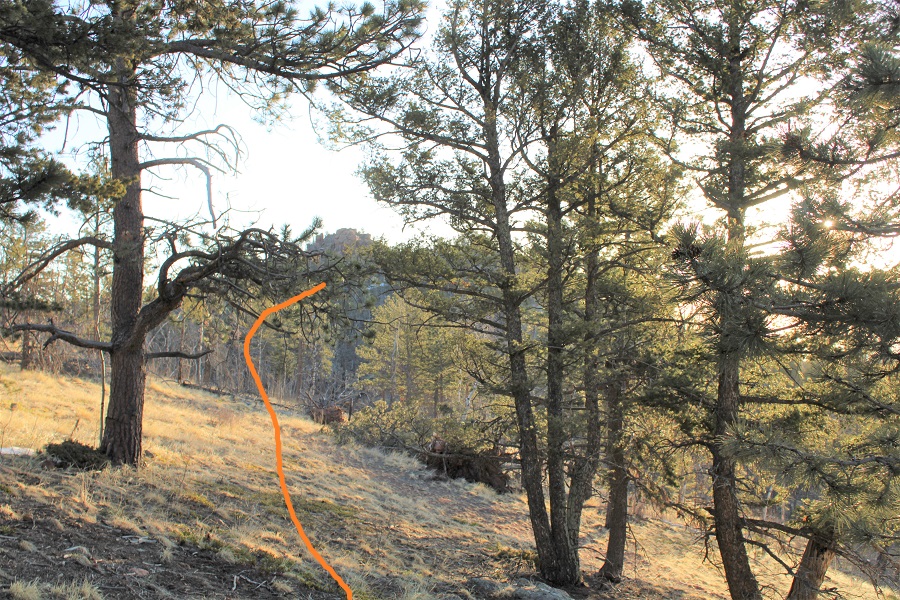
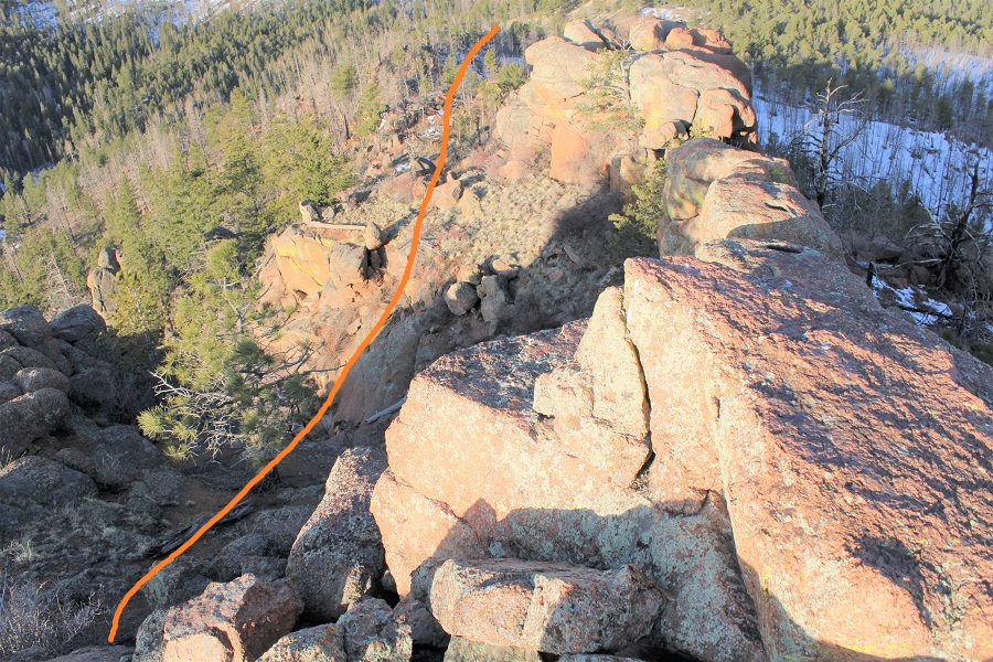
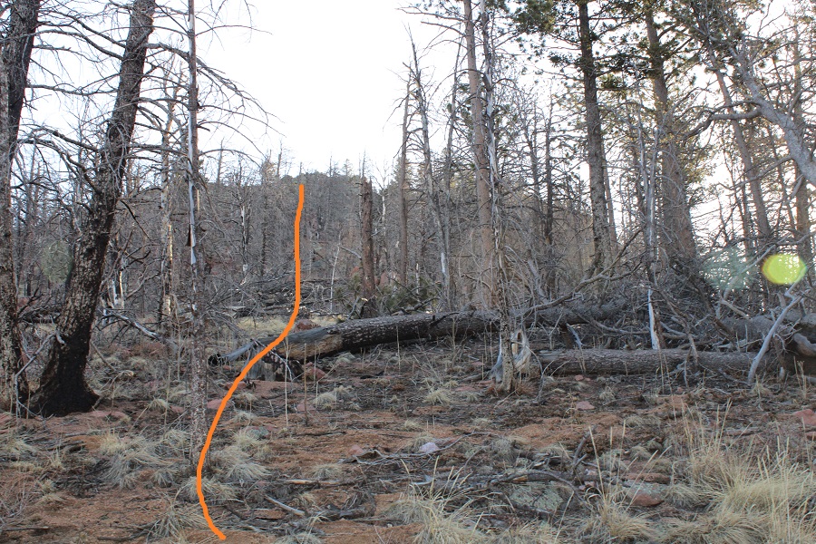
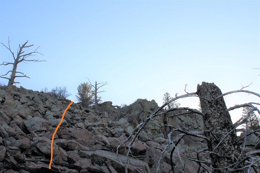
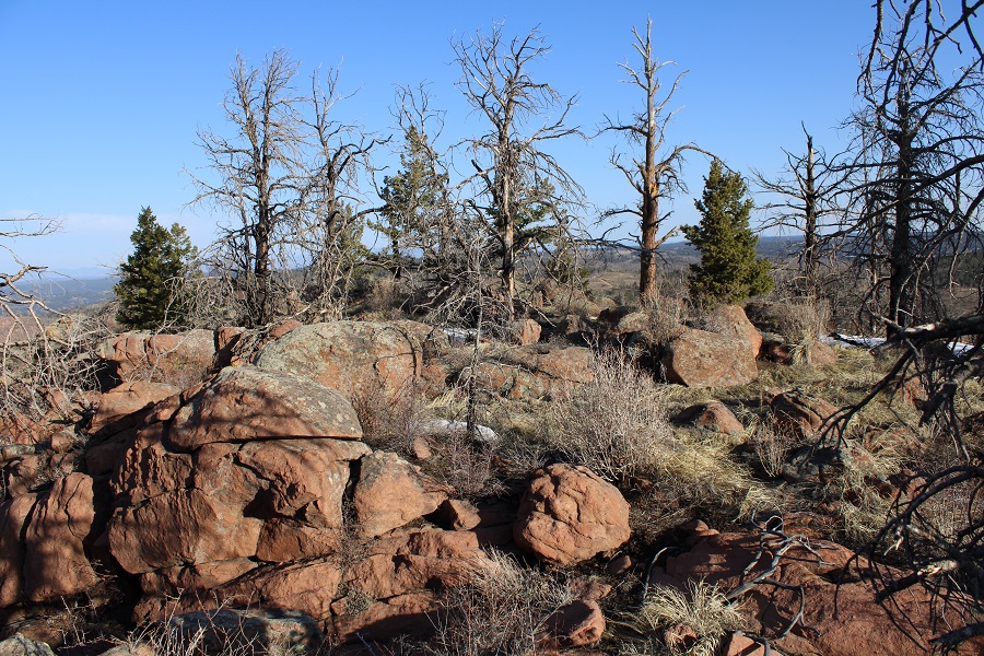
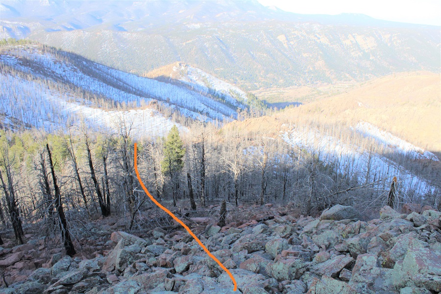
This brought me to a rocky area

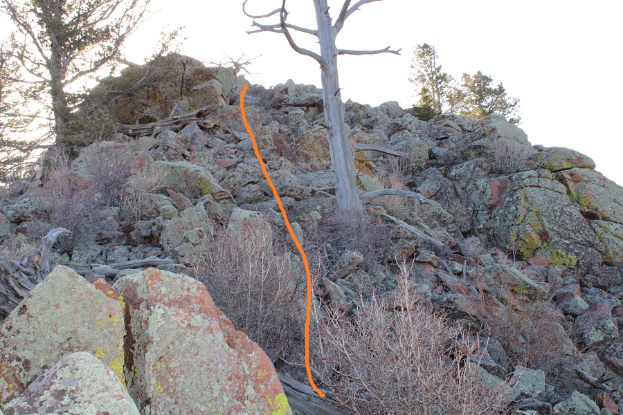
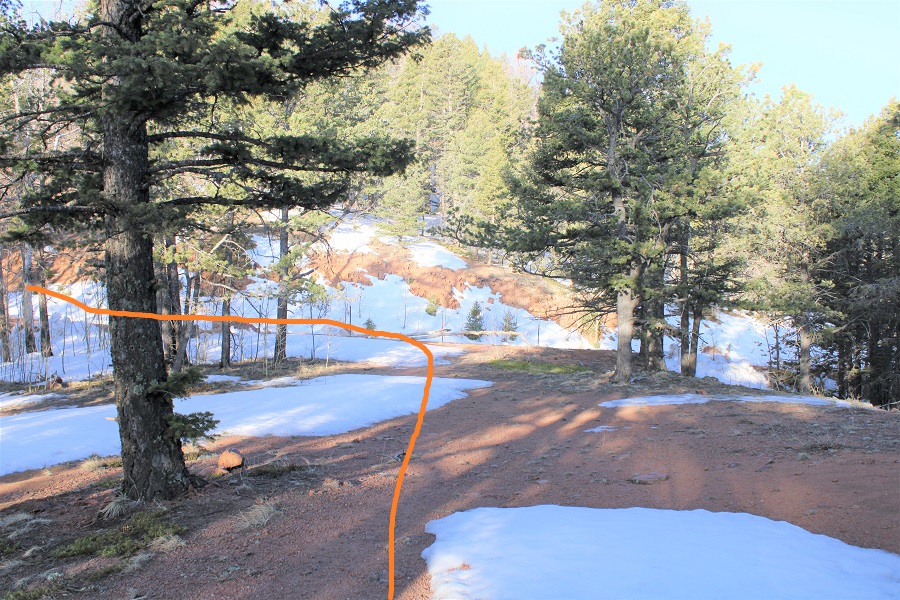
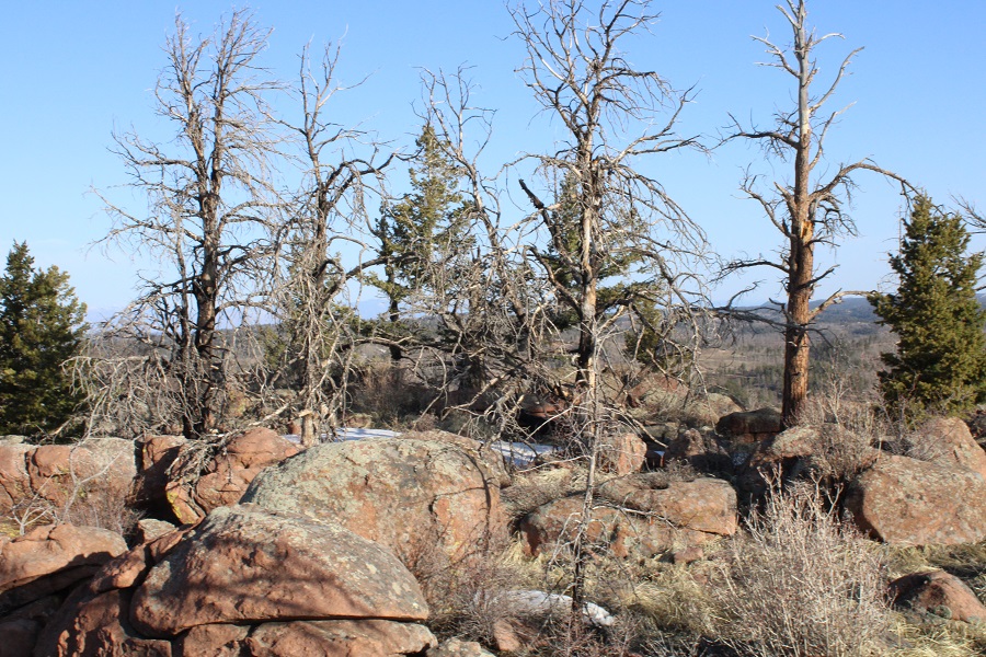
And then, I was suddenly at the summit. The summit is relatively large and flat.

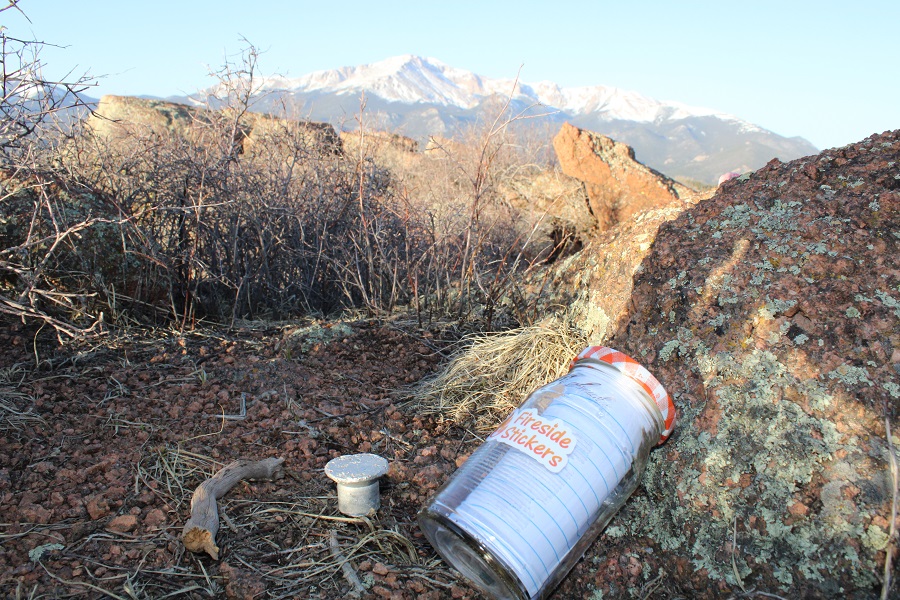
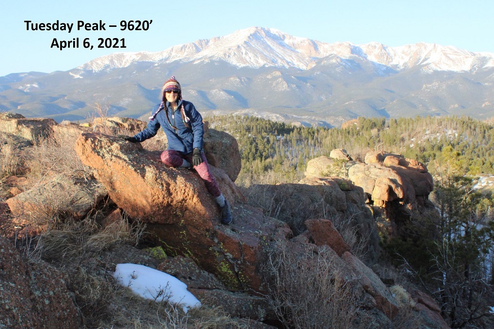
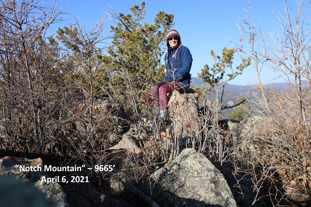
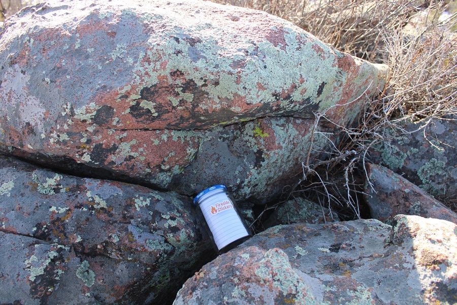
I took a photo to prove I’d summited, and left a summit register (no marker on this peak)

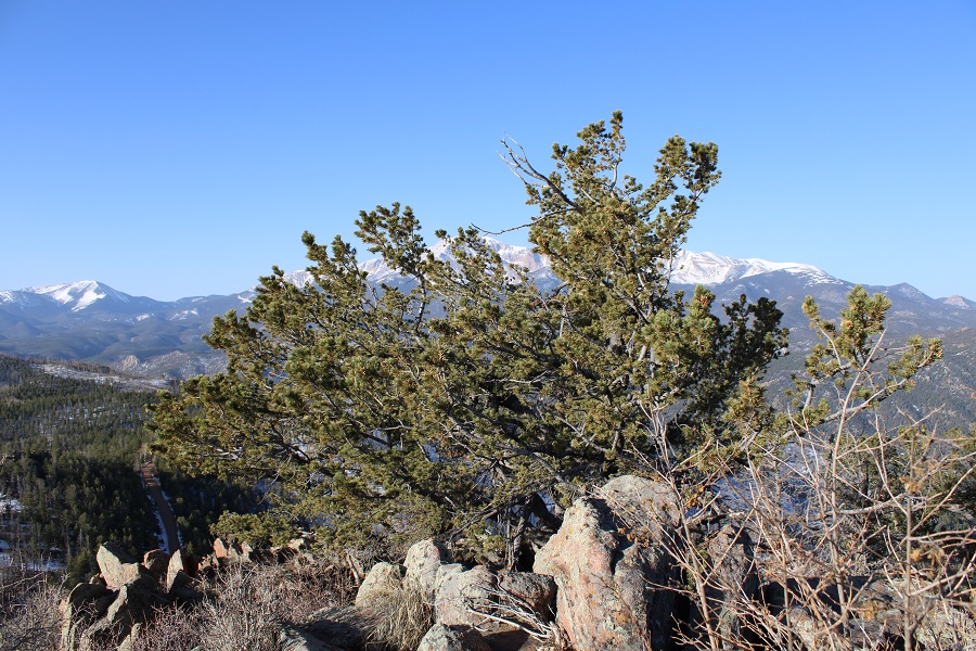
The views aren’t that good here, because the trees on the summit obscure them.  The good part is there are actually trees at the summit that made it through the fires

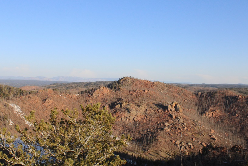
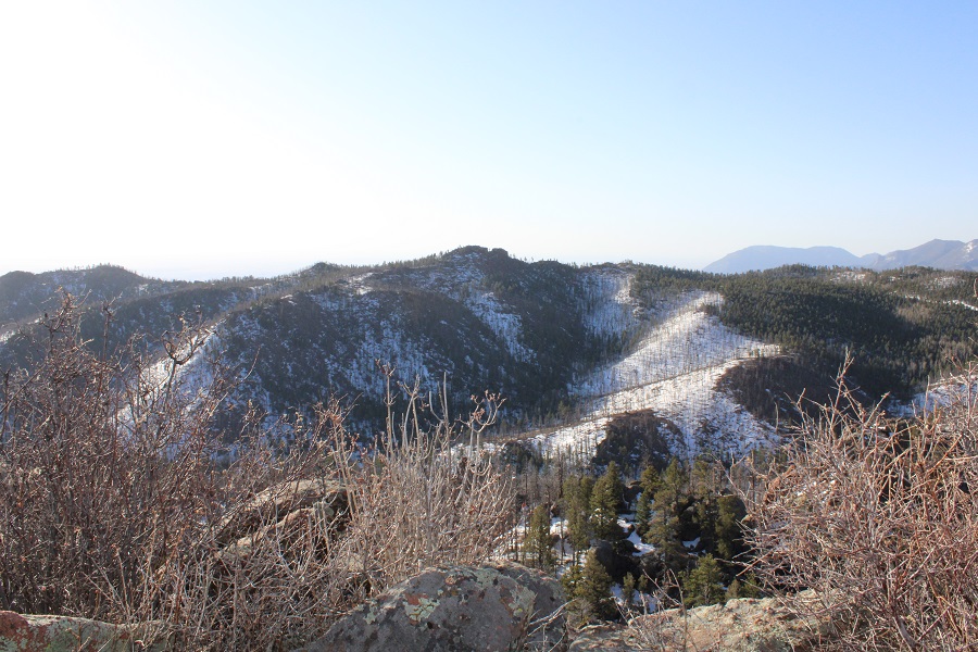
Here’s a view of Tuesday Peak from the summit of “Notch Mountain”

I turned and headed back down the ridge.
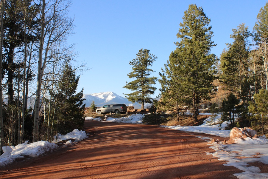
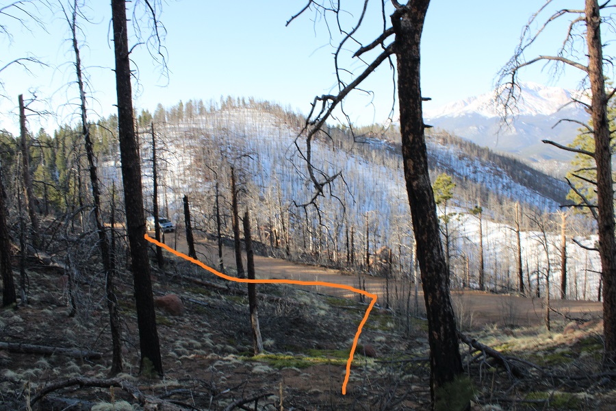
And my truck

The entire hike probably took 20 minutes.

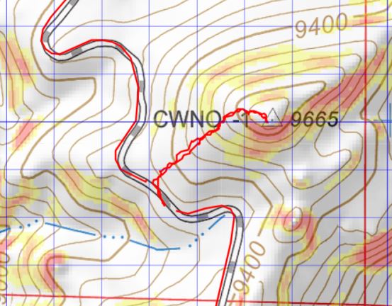
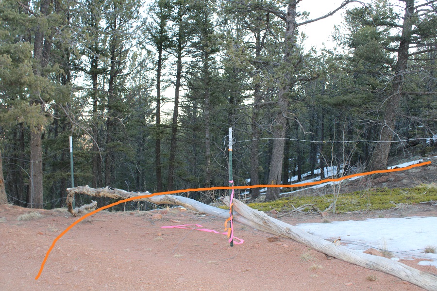
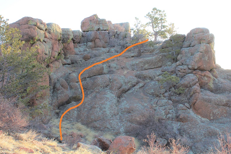
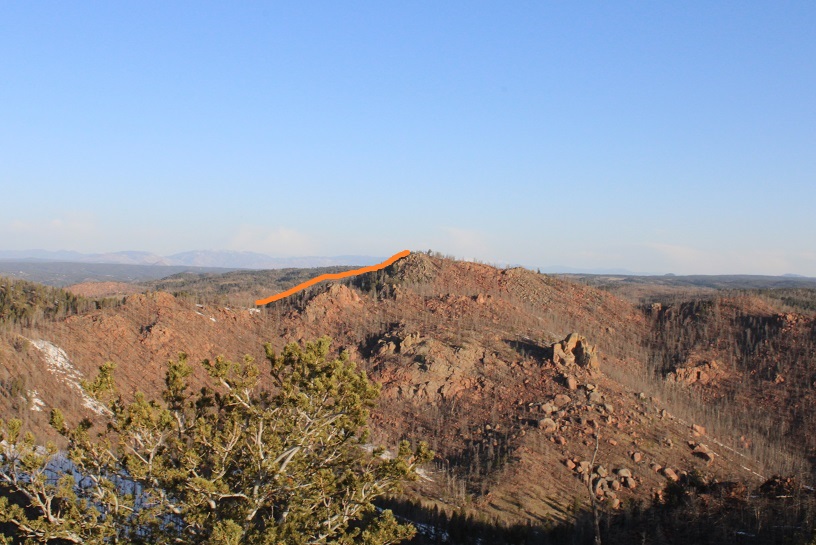
Here’s a picture of the route from Tuesday Peak

Now, on to the next trailhead!

Tuesday Peak – 9620’

RT Length: 1.49 miles

Elevation Gain:  323’

It’s springtime, and in the spring I either travel to state highpoints, or stay local and hit county highpoints.  They traditionally open Rampart Range Road every year on April 1, and when I heard the road was open, I decided to take advantage of a beautiful (if windy) day and hit some highpoints. This is the first of 3 El Paso County highpoints I hiked this day.

I started at the southern entrance to Rampart Range Road, near balanced rock inside Garden of the Gods.

As the sun rose, I was able to see a lot of the Waldo Canyon burn scar.  It doesn’t look like much has grown back in the 9 years since the fire.

I drove along the 2WD dirt road for 12 miles, and parked at a small parking area for trail 644.  There’s a plaque here commemorating the road

I gathered my hear and continued hiking along the road to the trailhead.  It was a short distance (less than a quarter of a mile), and in the summer, you might be able to park at the actual start.

The trailhead starts at a bend in the road, marked by broken barbed wire and hot pink surveyor’s tape.  On a topo map it says this is 4WD road 300Q.  It’s been a very, very long time since this was ever a road.  Now it looks like a teenage hangout/camping area, littered with broken glass and discarded remnants of campfire circles.

I headed northeast, following the ridge to the right

I came to a small dip, where I could clearly see the peak

Now I stayed to the left (north) side of the ridge. There were a lot of downed trees, but nothing that kept me from making it to the peak.  There was snow here, but not enough to need traction.  I did posthole a bit. I aimed for the small saddle

Once at the saddle there was some class 2 scrambling to do to make it to the summit. This is much easier than it looks.

Here’s a picture of the summit

I knew I was at the summit because there was a summit marker.  I left a summit register at the marker

And took a picture at the summit with Pikes Peak in the background

It was very windy, so I didn’t stay long, and quickly retraced my steps back to the saddle.  Here’s the overall route

And step by step

Back down the dip, where there are some very faint tire tracks that have now become social/game trails

And following the ridge southwest to the road

I then followed the road back to my truck.

This was a quick and simple hike.  Here’s a topo map of my route (I parked just before 644):

Now, on to the next trailhead!