Tuesday Peak – 9620’

RT Length: 1.49 miles

Elevation Gain:  323’

It’s springtime, and in the spring I either travel to state highpoints, or stay local and hit county highpoints.  They traditionally open Rampart Range Road every year on April 1, and when I heard the road was open, I decided to take advantage of a beautiful (if windy) day and hit some highpoints. This is the first of 3 El Paso County highpoints I hiked this day.

I started at the southern entrance to Rampart Range Road, near balanced rock inside Garden of the Gods.

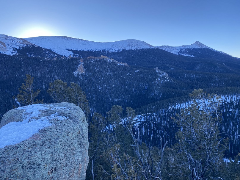
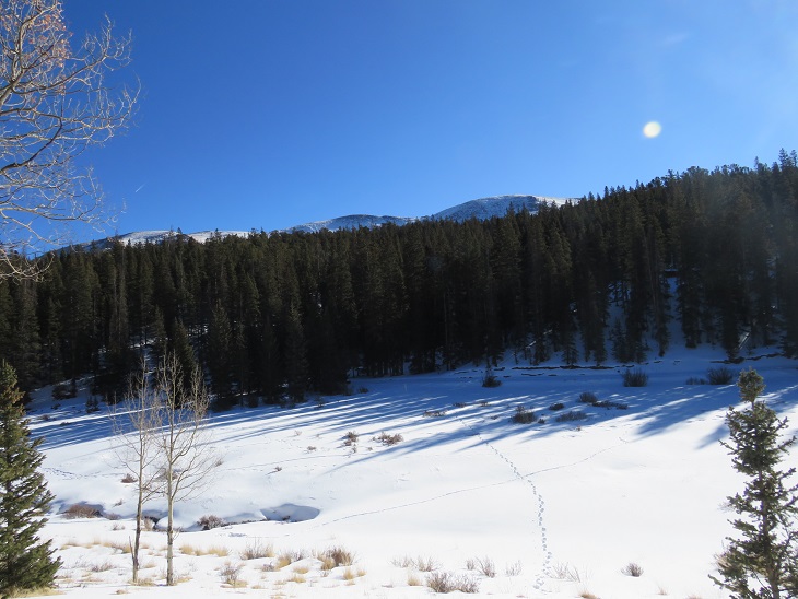
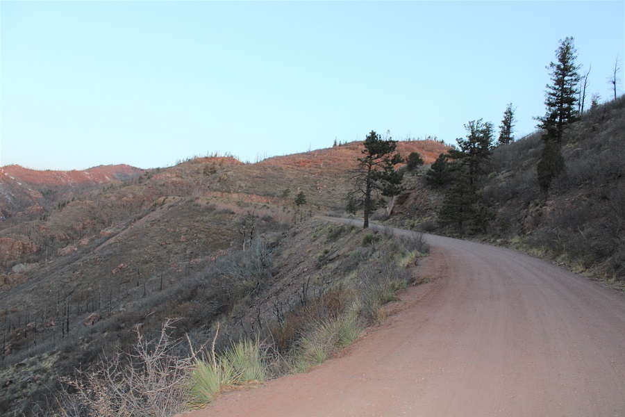
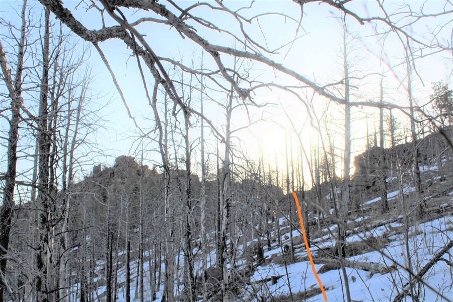
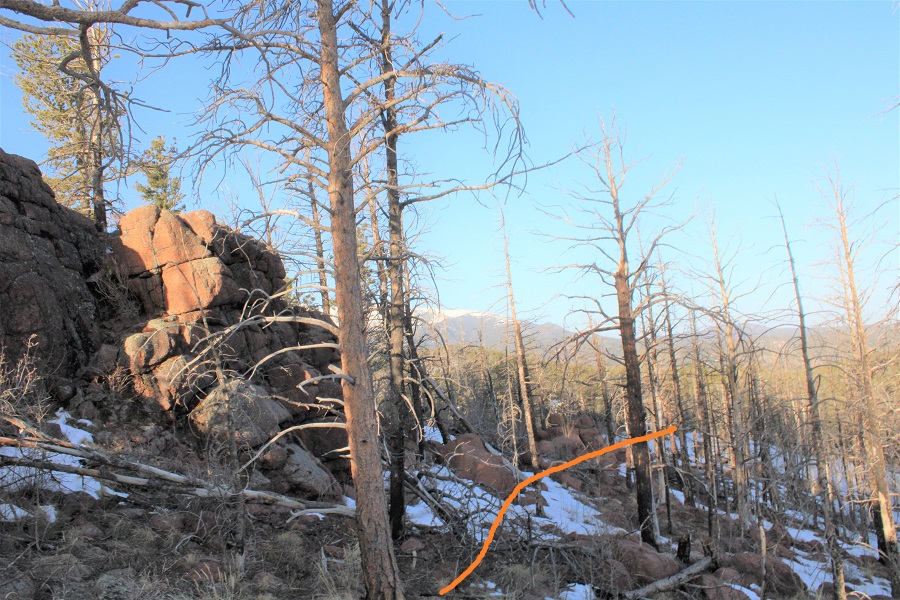
As the sun rose, I was able to see a lot of the Waldo Canyon burn scar.  It doesn’t look like much has grown back in the 9 years since the fire.

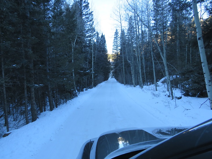
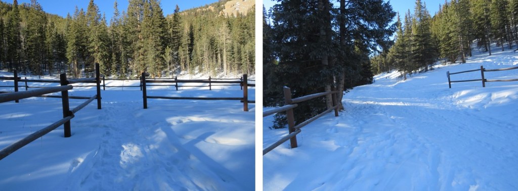
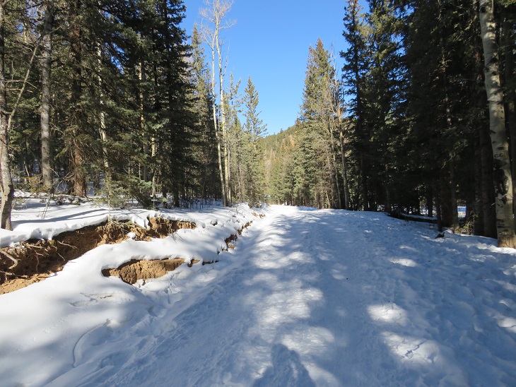
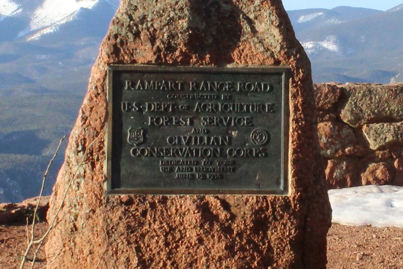
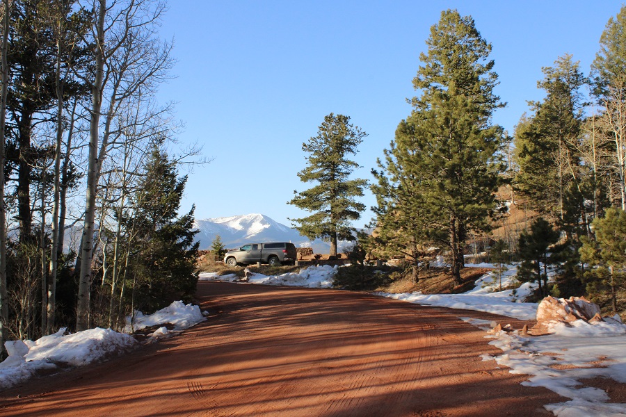
I drove along the 2WD dirt road for 12 miles, and parked at a small parking area for trail 644.  There’s a plaque here commemorating the road

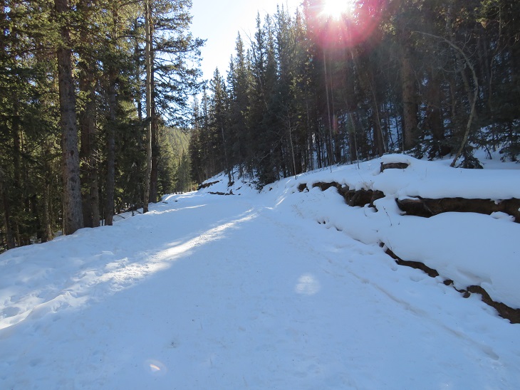
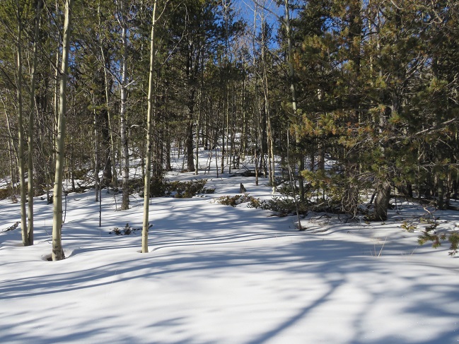
I gathered my hear and continued hiking along the road to the trailhead.  It was a short distance (less than a quarter of a mile), and in the summer, you might be able to park at the actual start.

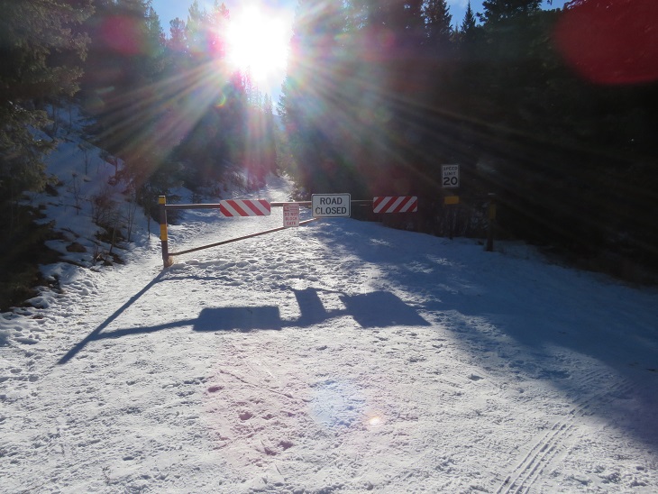
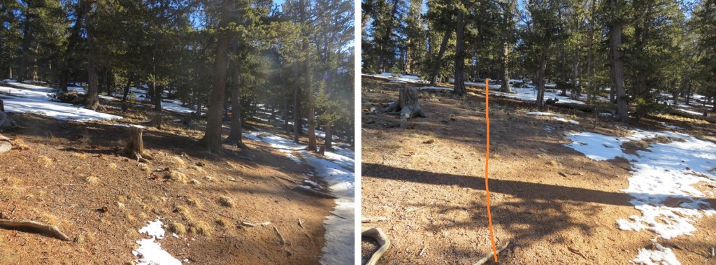
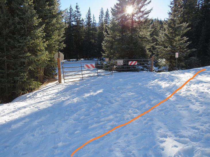
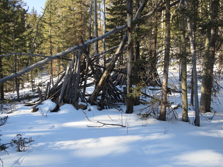
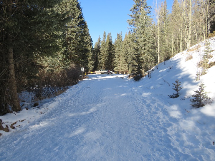
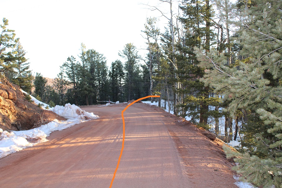
The trailhead starts at a bend in the road, marked by broken barbed wire and hot pink surveyor’s tape.  On a topo map it says this is 4WD road 300Q.  It’s been a very, very long time since this was ever a road.  Now it looks like a teenage hangout/camping area, littered with broken glass and discarded remnants of campfire circles.

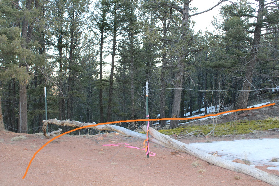
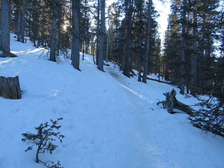
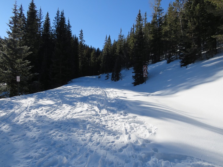
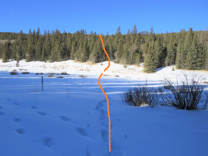
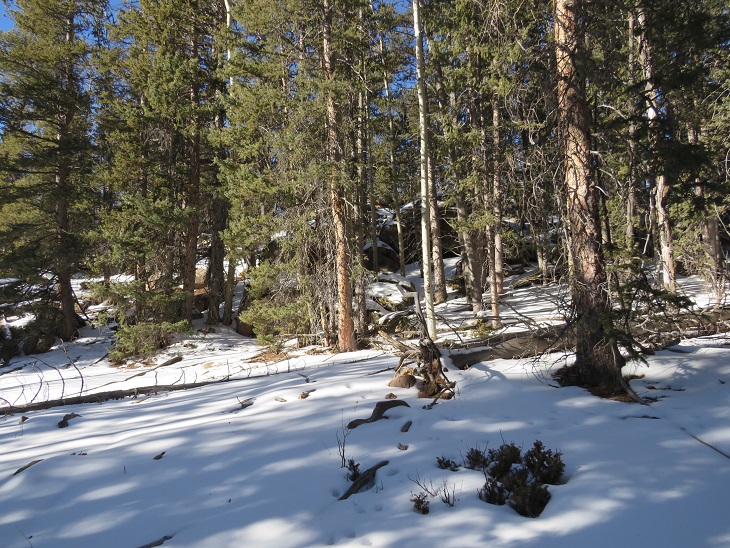
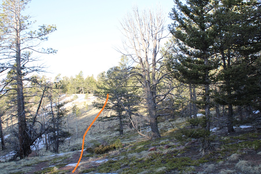
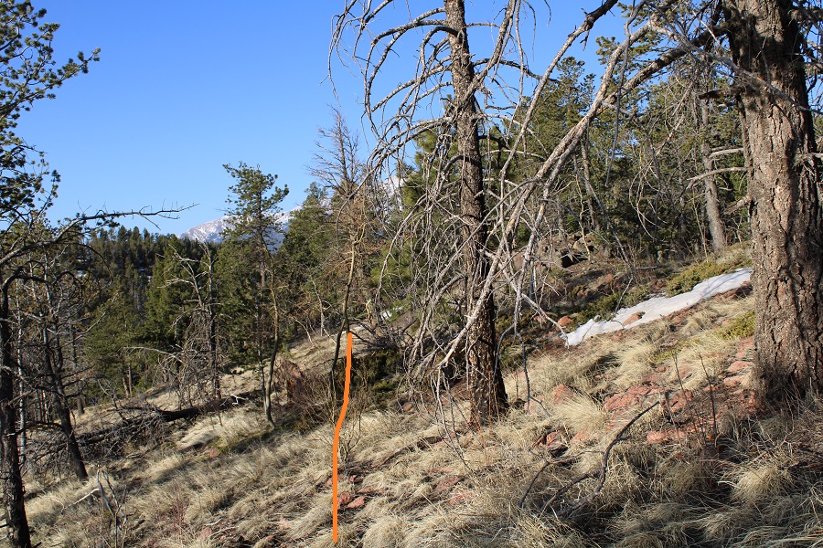
I headed northeast, following the ridge to the right

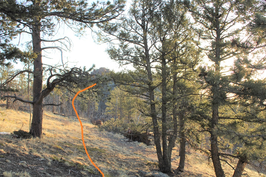
I came to a small dip, where I could clearly see the peak

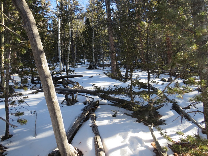
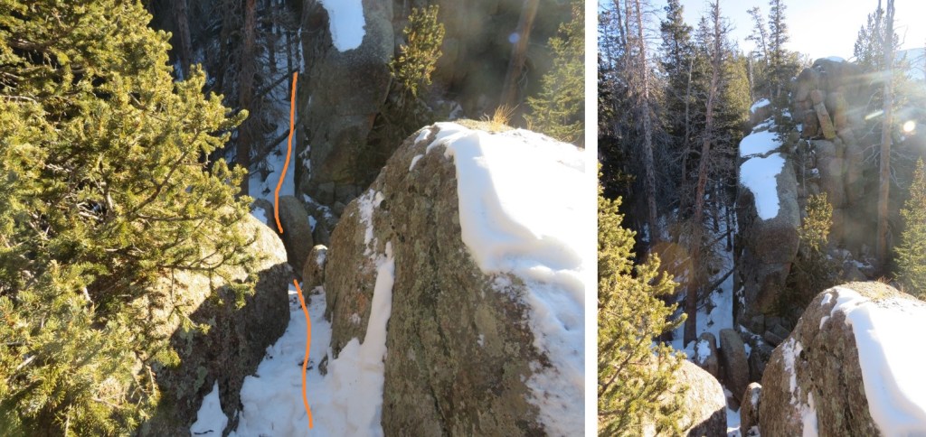
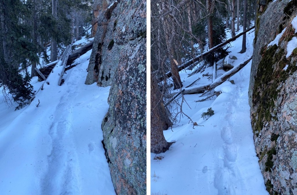
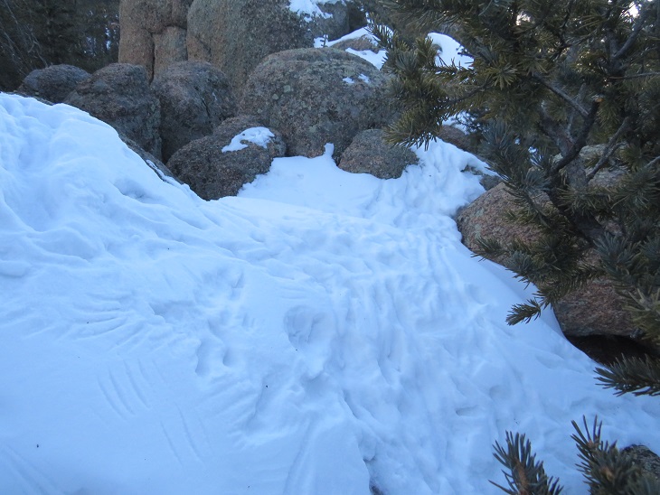
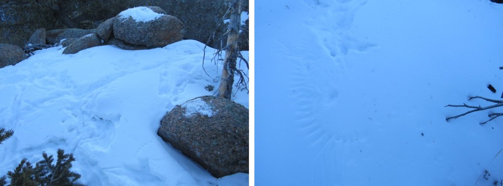
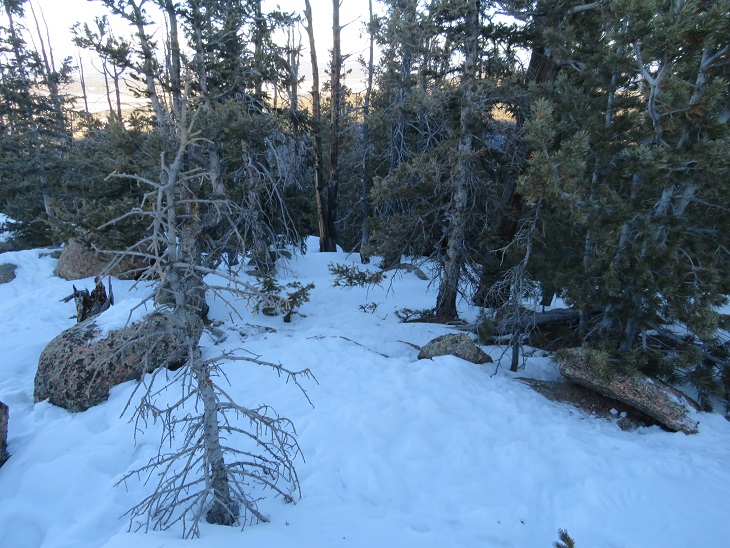
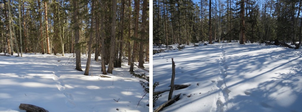
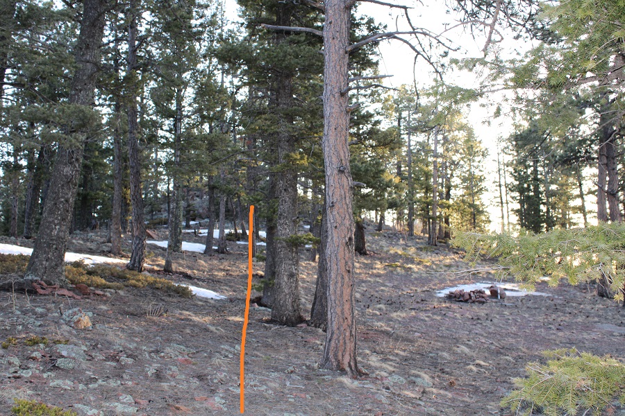
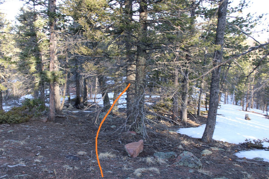
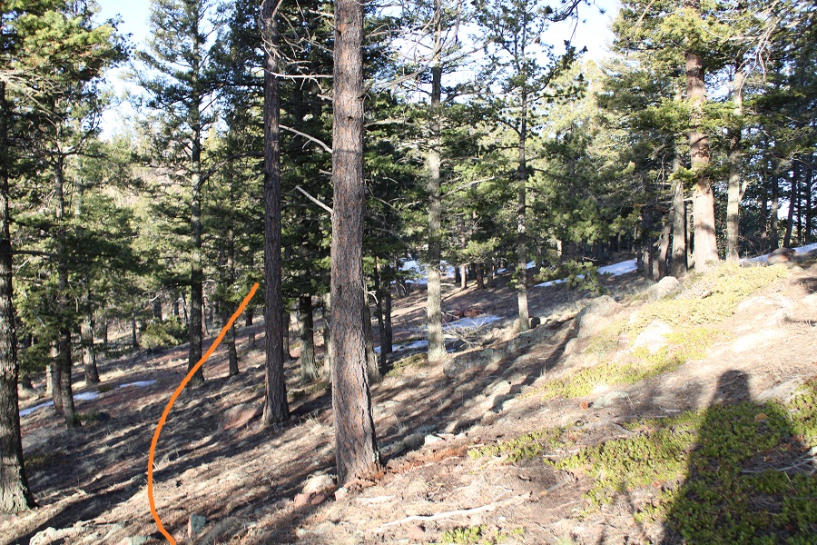
Now I stayed to the left (north) side of the ridge. There were a lot of downed trees, but nothing that kept me from making it to the peak.  There was snow here, but not enough to need traction.  I did posthole a bit. I aimed for the small saddle

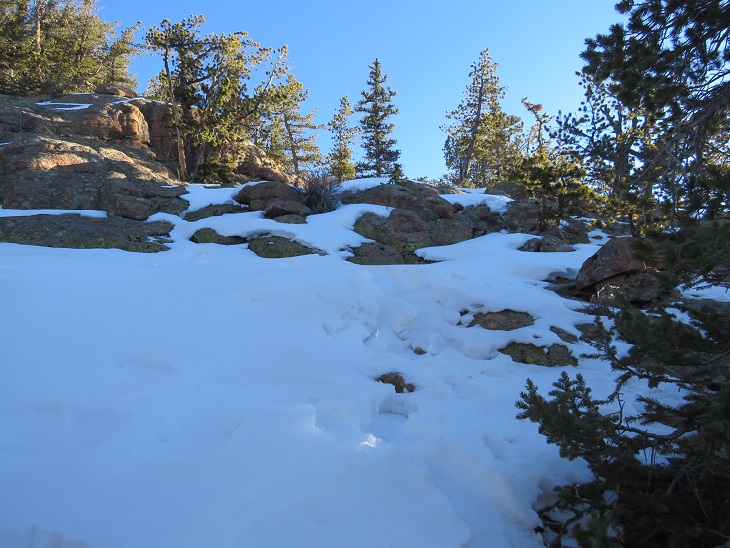
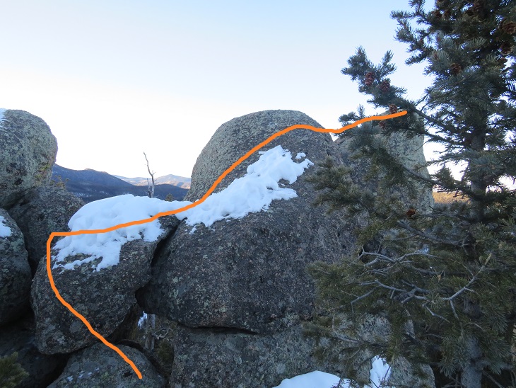
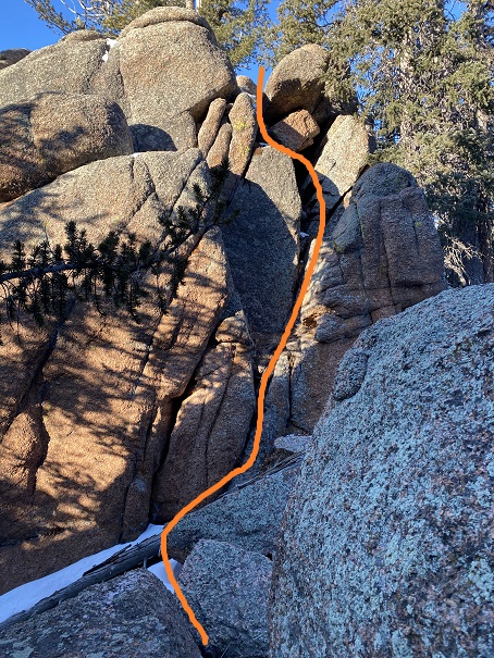
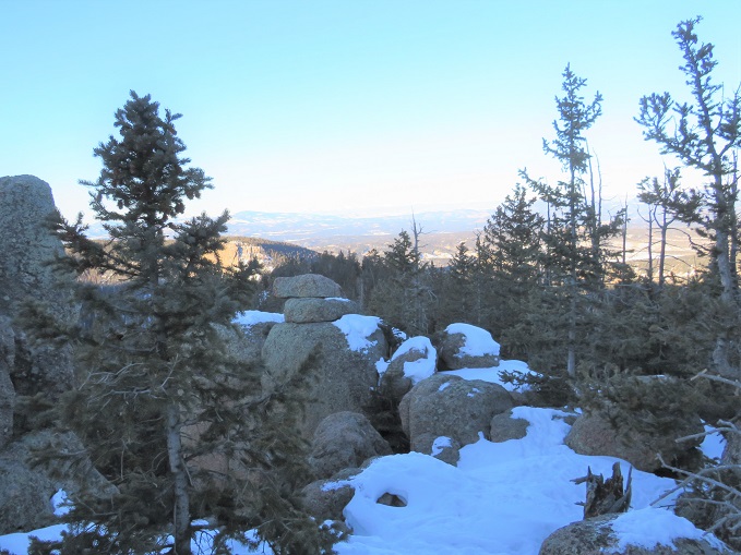
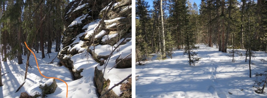
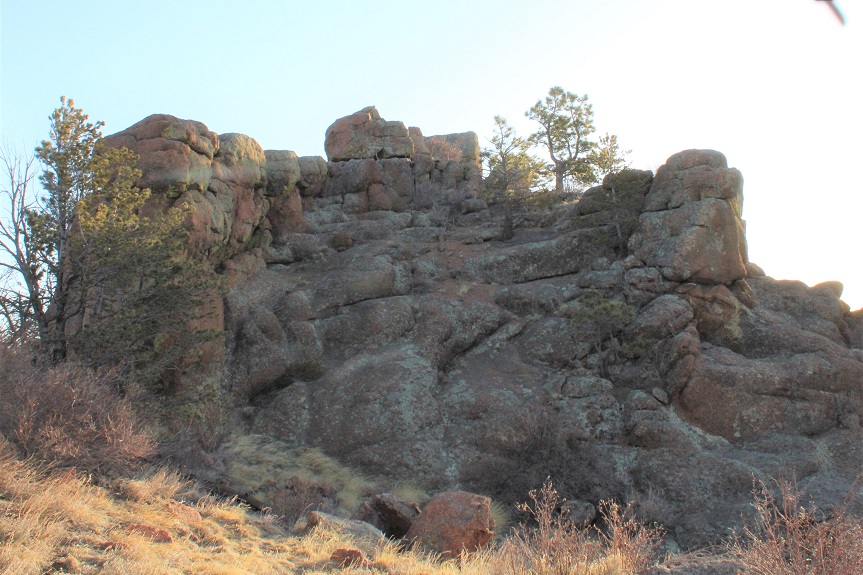
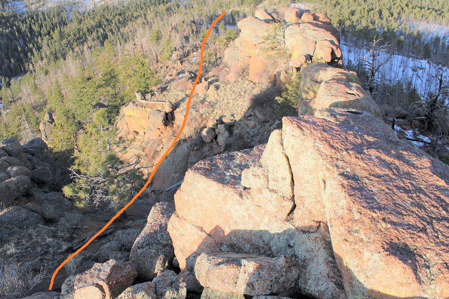
Once at the saddle there was some class 2 scrambling to do to make it to the summit. This is much easier than it looks.

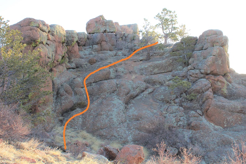
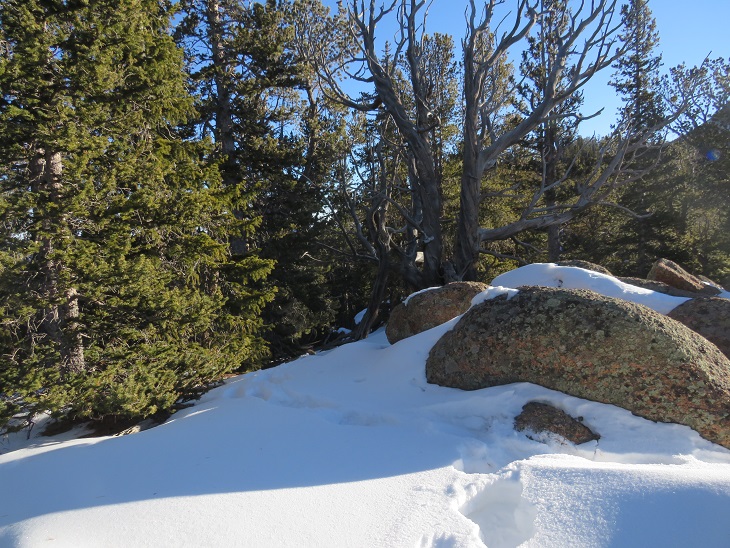
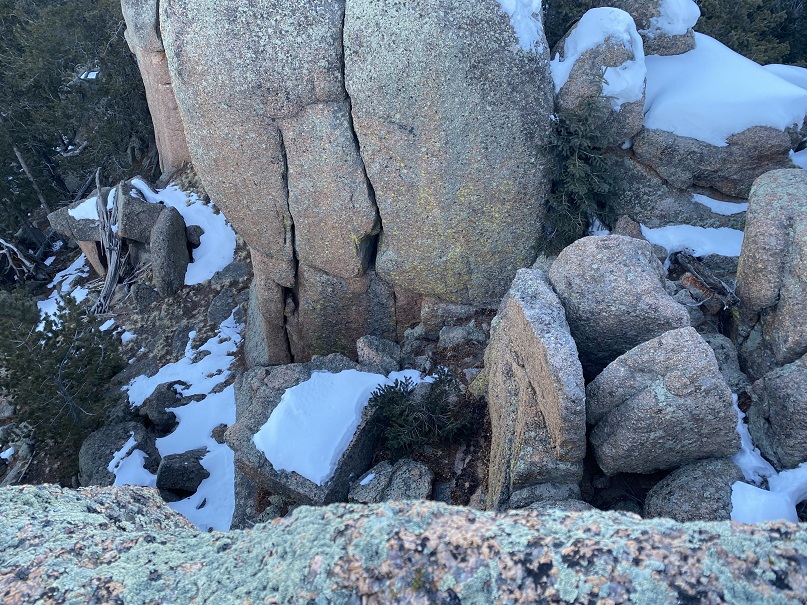
Here’s a picture of the summit

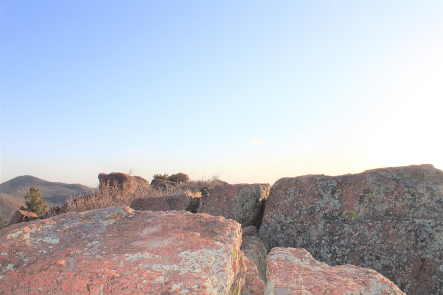
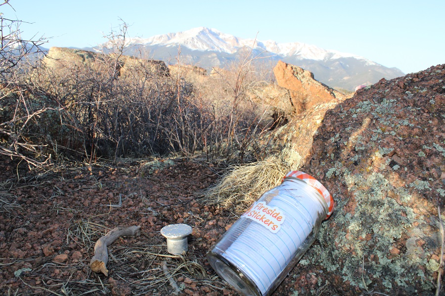
I knew I was at the summit because there was a summit marker.  I left a summit register at the marker

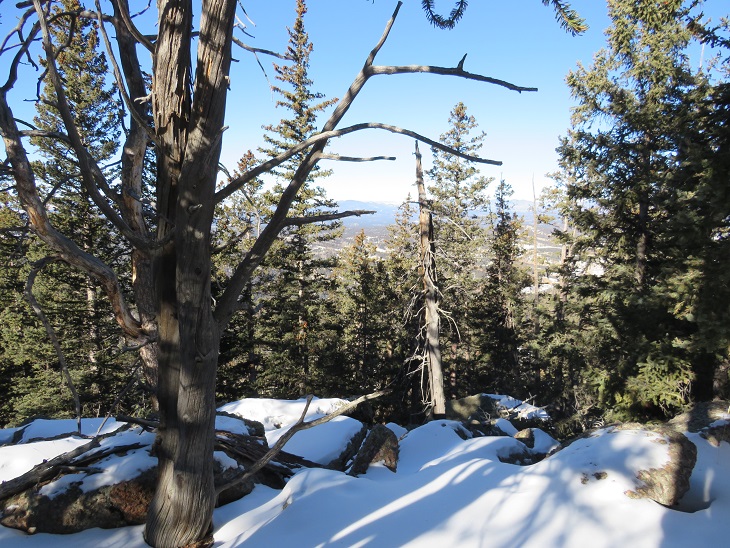
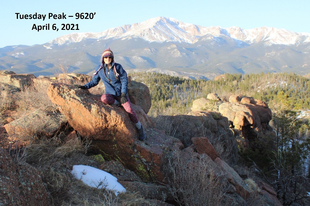
And took a picture at the summit with Pikes Peak in the background

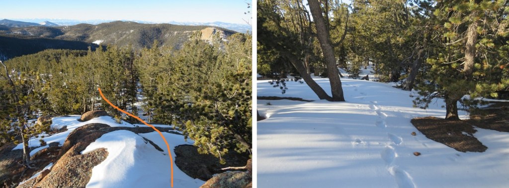
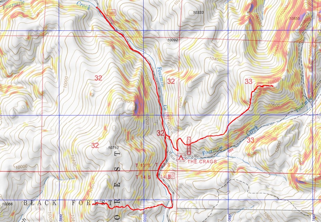
It was very windy, so I didn’t stay long, and quickly retraced my steps back to the saddle.  Here’s the overall route

And step by step

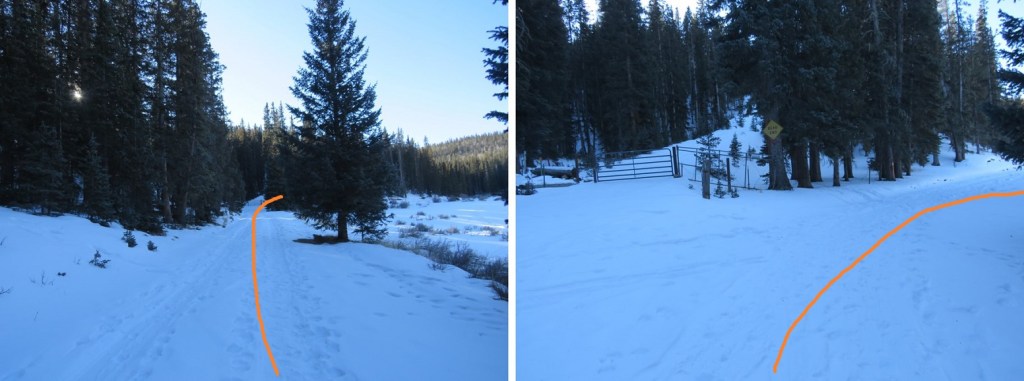
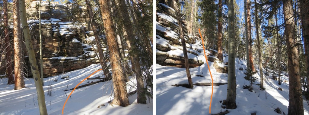
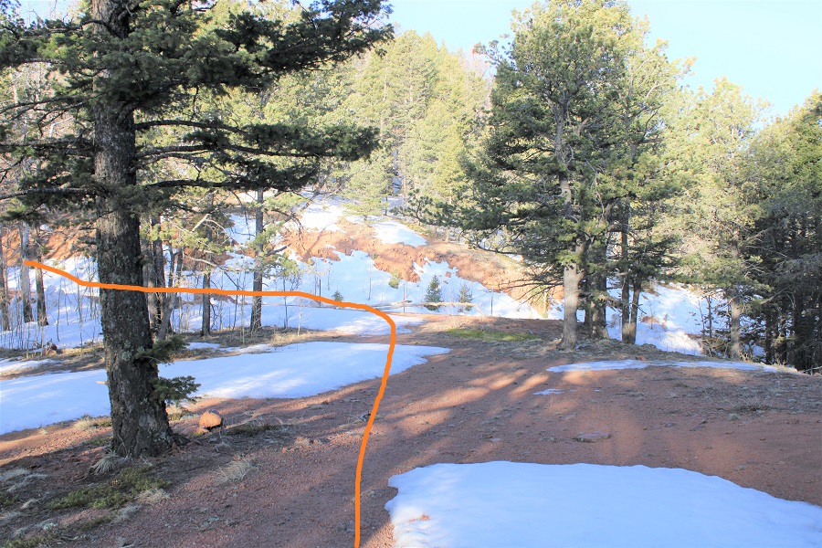
Back down the dip, where there are some very faint tire tracks that have now become social/game trails

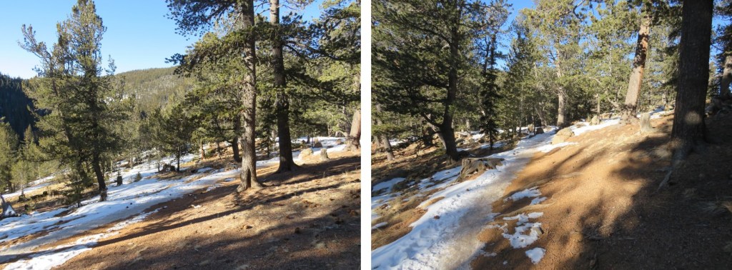
And following the ridge southwest to the road

I then followed the road back to my truck.

This was a quick and simple hike.  Here’s a topo map of my route (I parked just before 644):

Now, on to the next trailhead!

PT 10940 & PT 10770

RT Length:  8.32 miles

Elevation Gain:  2186’

Since the weather hasn’t changed since I was in the area a few days ago, I decided to get in a quick hike before work.  Well, in the middle of work.  I got up super early, worked for a bit, and then drove to the trailhead.  The road in was still icy, and as I drove in the temperature gauge kept fluctuating between 0 degrees and 1 degree.  It was cold!

I was on the trail at 6:45am. The trail starts behind this locked gate.

I travelled on this road (383) for 1.15 miles to the Crags Trailhead. 

This trailhead will take you all the way to Pikes Peak.  Instead, I followed the trail for half a mile, and then left the trail and continued up the ridge.

I was met with about 4 inches of snow, which was awesome!  This meant I’d have an easy time re-tracing my steps back down.  I followed the ridge as it wound northeast

Until I came to a rocky area.  This rocky area kind of surprised me, and got more intense as I went on.  It was all class 3, but with the snow it became a challenge at times to navigate.

Here I went down the chimney, and then skirted the rock formation to the left.  This was the crux of the route.

That was the hardest move.  From here it was a simple (but still rocky) trek to the summit.

There was a little bit of rock scrambling necessary to reach the summit. 

I scrambled on over to the highest rock and sat quietly, looking down at the exposure.

And back on the way I’d hiked in

The sun had not yet risen over Pikes Peak, so it was still cold

I didn’t sit there long.  Instead, I scrambled back down, placed a summit register in the opening between the rocks below the summit, and noticed this place got a lot of bird activity

Time to head back

Here’s that chimney I climbed down.  Here’s how to climb back up

And then I followed the ridge back to the Crags Trail

Back at the Crags trailhead, I continued following the road south, past the Crags Campground (closed for the season)

I followed the road for just over half a mile until I came to a fork in the road and a locked gate to private property.

At the locked gate I turned right and headed west, across a meadow and then up the ridge

This entire hike is below treeline, so it’s difficult to gauge where you’re going.  I just followed the rib/ridge west.

I passed some wiki-ups

And came to a large rock formation, which I skirted to the north to avoid

Once past the rock formation I kept heading west towards the highest point I could see

There wasn’t much of a view

I walked all around, looking for the highest rock, and placed a summit register there

And then followed my tracks back down to the dirt road.

Once on the road it was an easy 1.75 mile walk back to my truck and the trailhead

Along the way I saw a couple snowshoeing with their two dogs, who seemed to be quite enjoying the cold.  It was now 16 degrees outside, which was a vast improvement on the 0 degrees from earlier this morning. I made it back to my truck at 11am, making this an 8.32 mile hike with 2186’ of elevation gain in 4 hours, 15 minutes. 

Since I hadn’t made my 10 mile/4000’ goal for the day I went back home and hopped on the treadmill for a bit before resuming my day.