Mahana Peak – 12,643 and Isolation Peak – 13,114

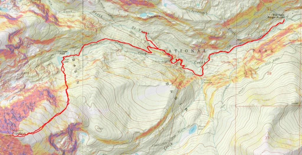
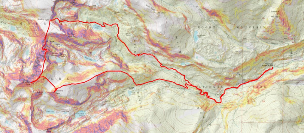
RT Length:  21.79 miles

Elevation Gain:  5665’

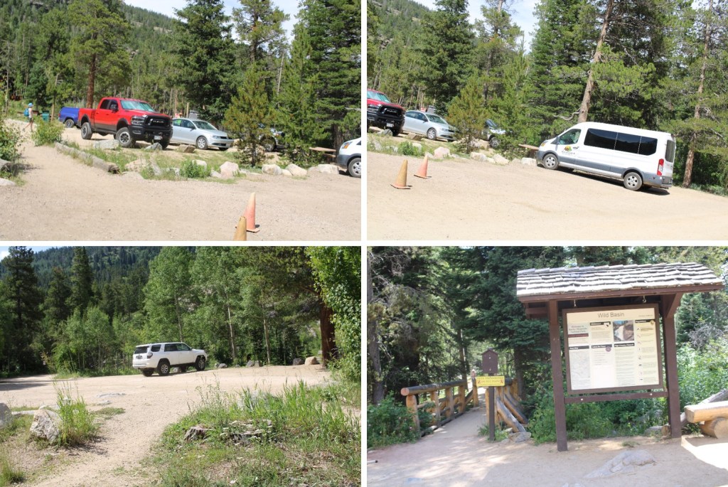
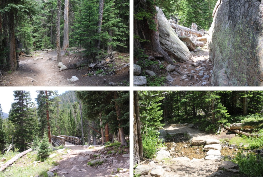
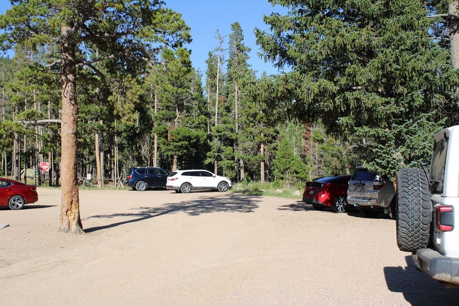
I parked at the Wild Basin Trailhead inside Rocky Mountain National Park and was on the trail at 4am. There’s plenty of parking here, but they have timed entry from 9am-2pm every day. 

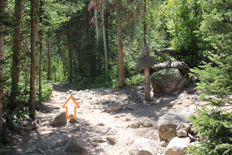
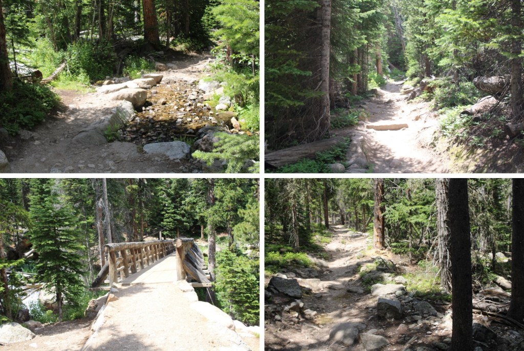
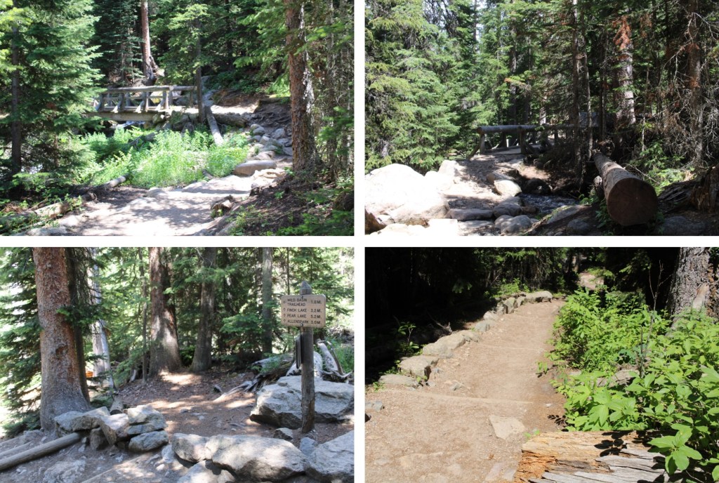
The trailhead starts at the south end of the parking area

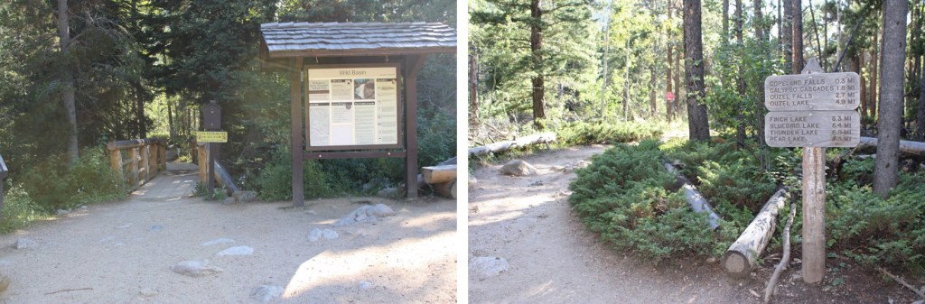
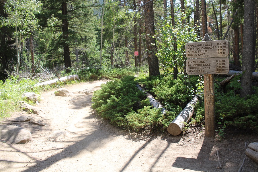
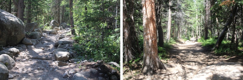
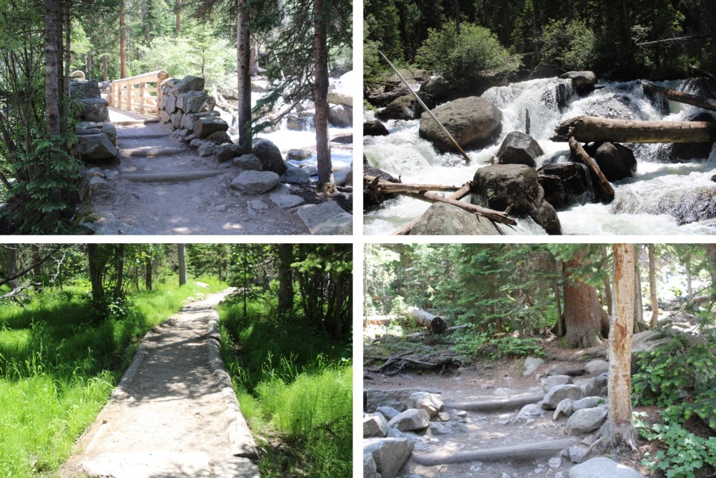
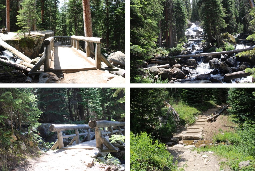
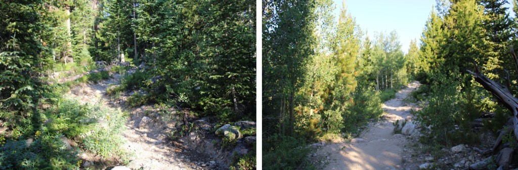
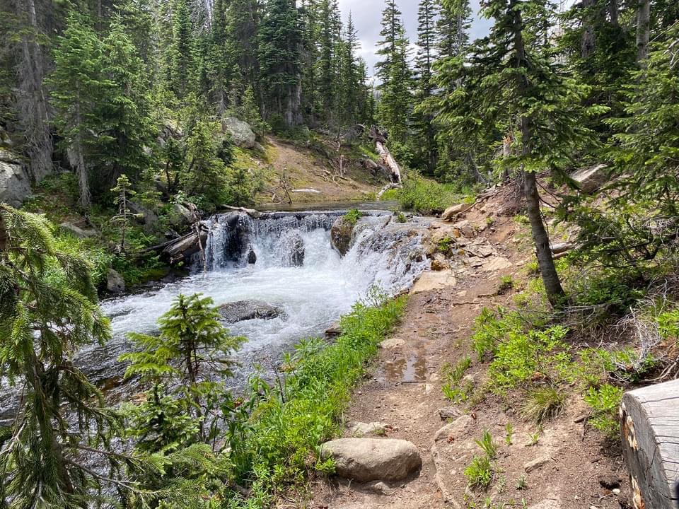
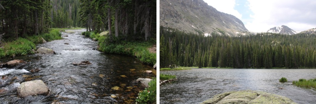
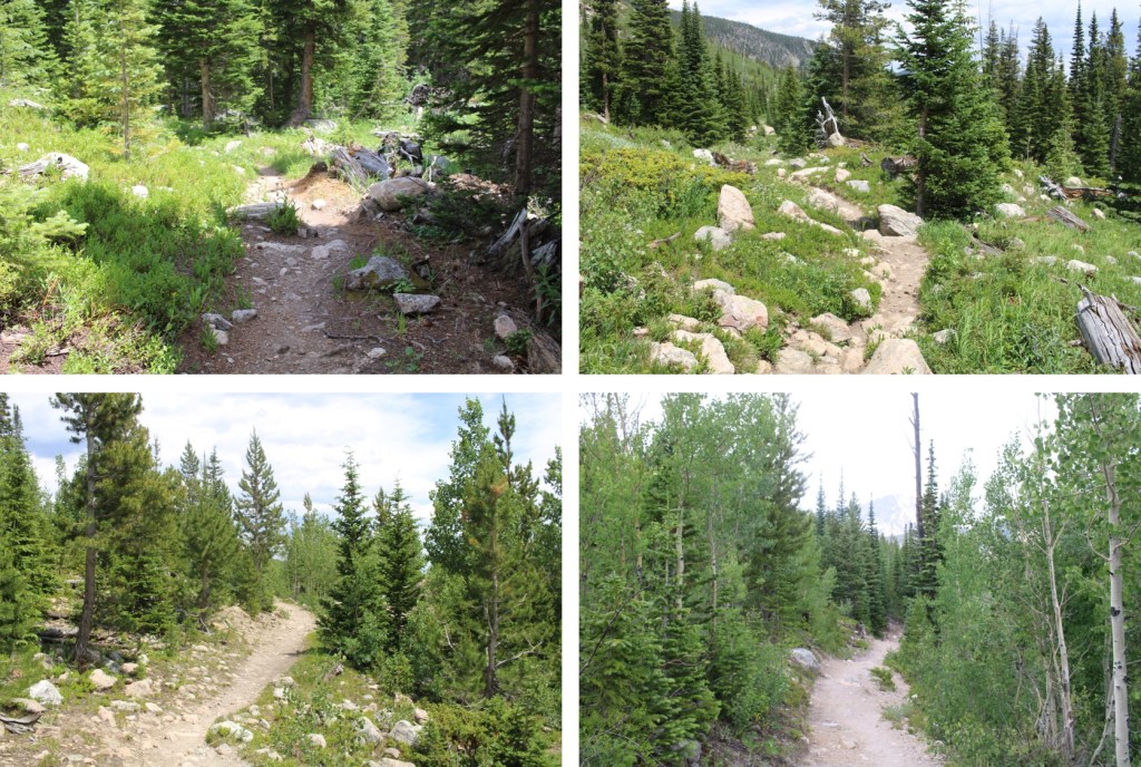
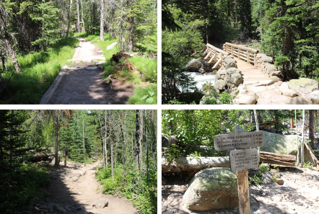
I followed the signs for Ouzel Lake/Bluebird Lake.  This class 1 trail is really well marked, so it’s difficult to get lost if you read the signs.  I passed several waterfalls (Copeland Falls, Calypso Falls, and Ouzel Falls).

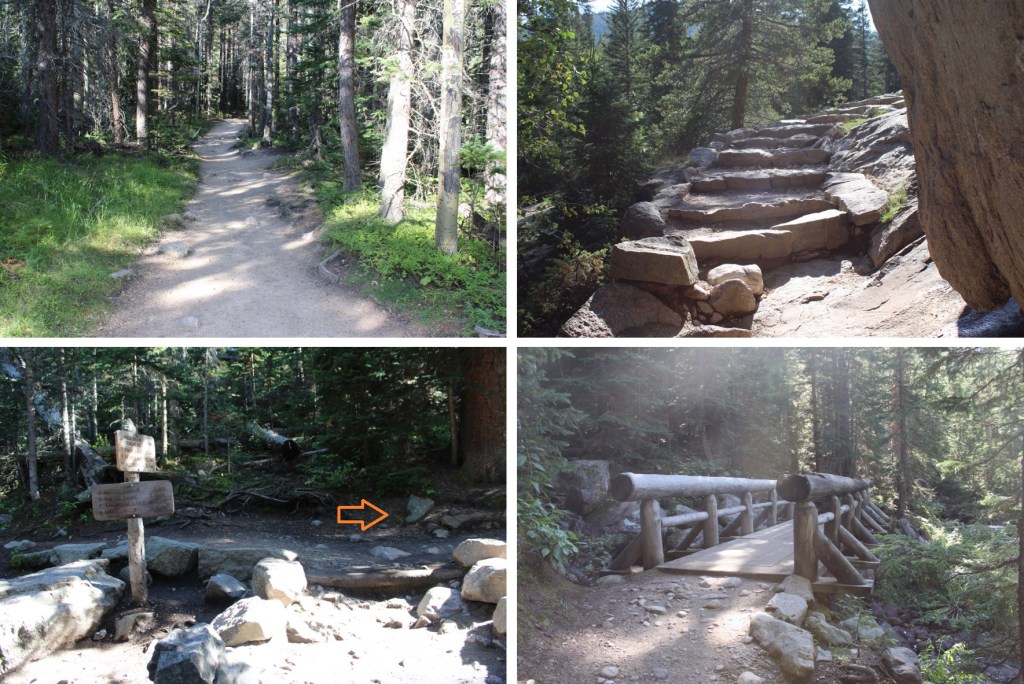
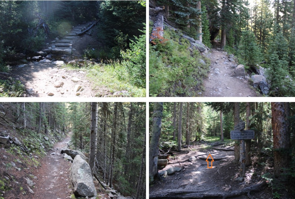
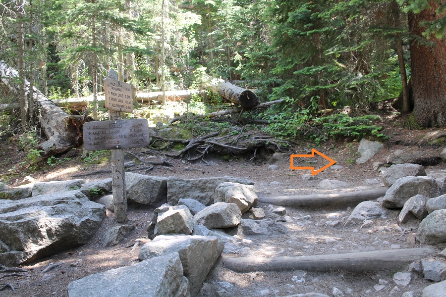
After hiking for 4.75 miles I came to the junction for Ouzel Lake and Bluebird Lake.  I turned right onto the Bluebird Lake Trail.

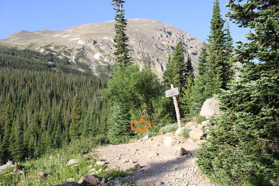
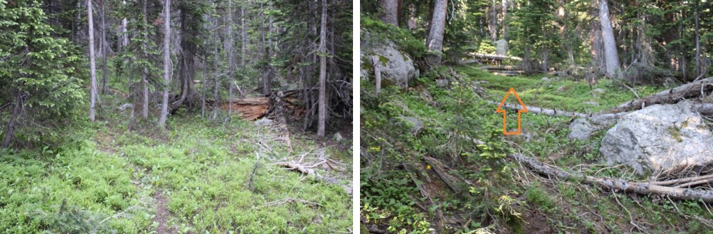
I didn’t stay on this trail long however.  Maybe about 10 yards or so. Then I left the trail and headed northeast to gain the ridge

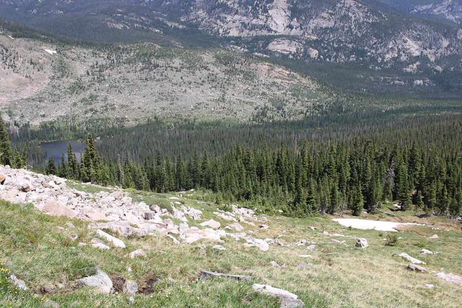
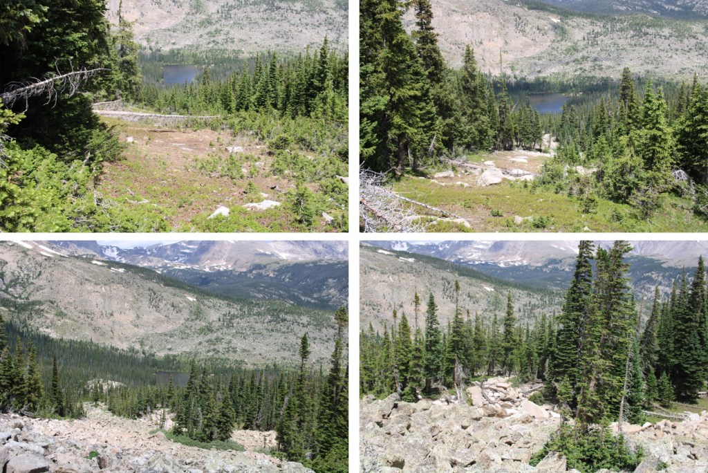
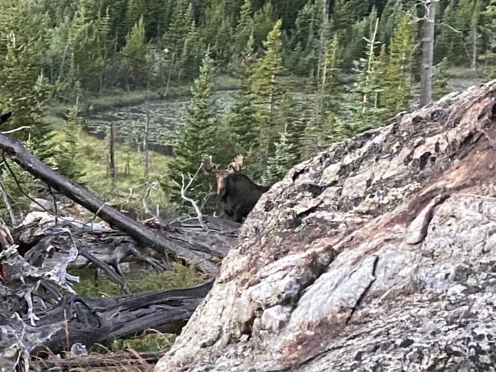
This is where I startled a moose.  He was about 15 feet away from me when I saw him, so I quickly ducked behind a large boulder.  Usually, moose run away when they see you, or ignore you, but this guy seemed interested in me.  I’ve seen probably over a hundred moose in Colorado, and I’ve only been charged once.  This guy looked like he wanted to charge me, so I remained hidden.  For a solid 15 minutes, every time I peeked out from behind the boulder, he was still staring at the boulder I’d hidden behind.  I know moose have poor eyesight, so while he knew I was still there, he was probably trying to figure out if I were a threat or not.  (That’s Chickadee Pond in the background).

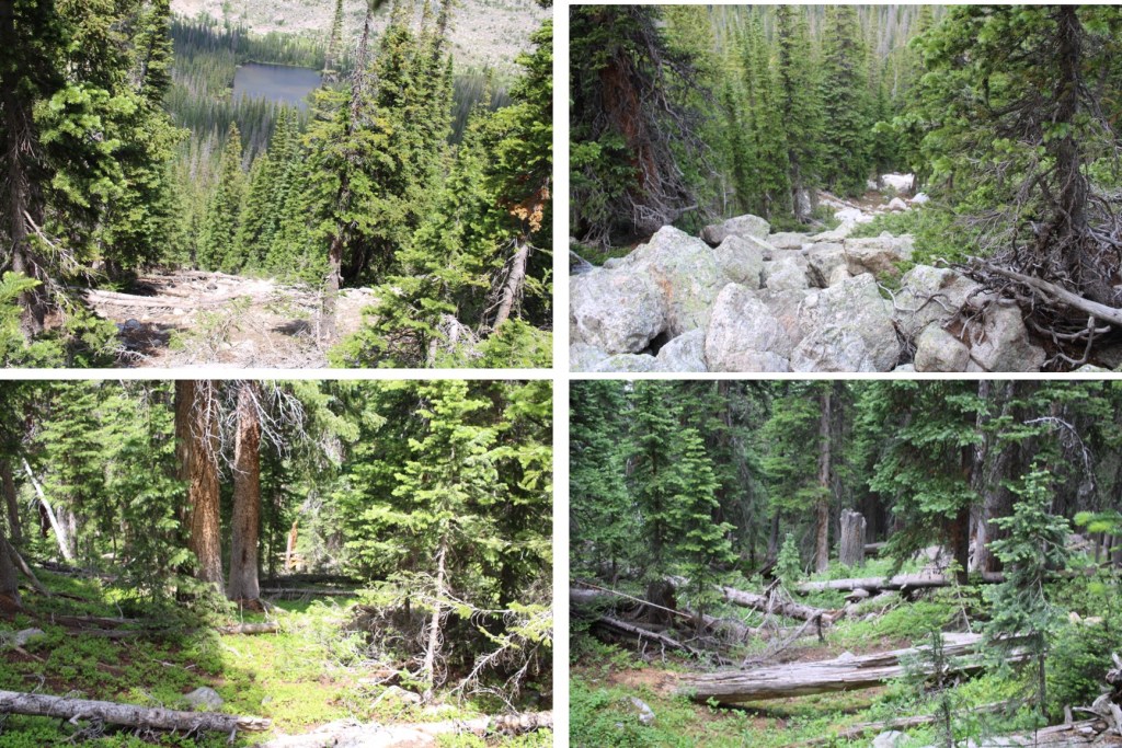
Eventually I crawled away on my hands and knees so he couldn’t see me in the brush, and continued my way up the ridge.  This included a lot of bushwhacking through downed trees.  A lot of downed trees.

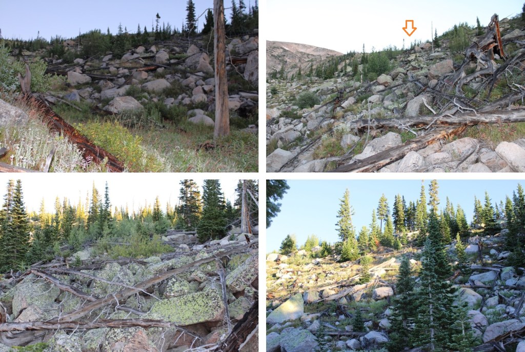
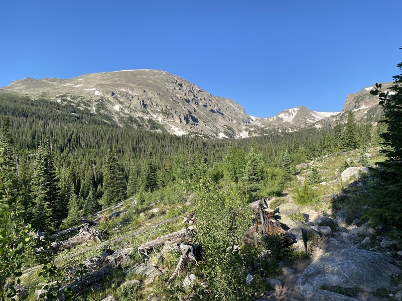
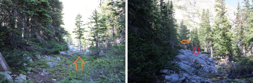
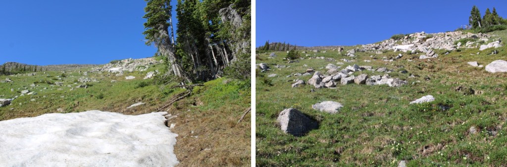
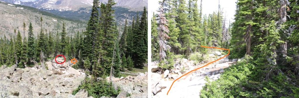
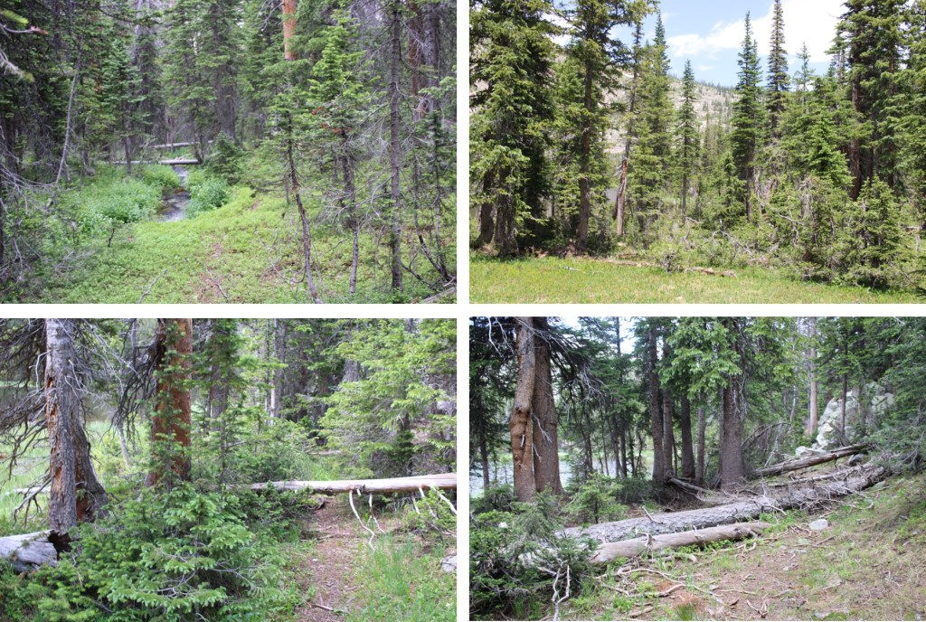
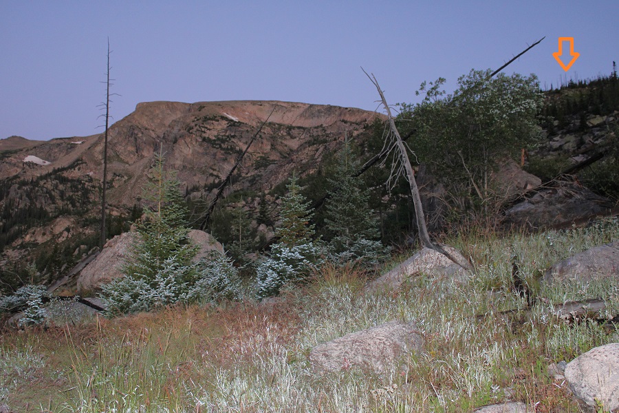
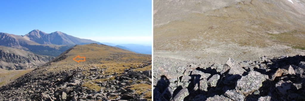
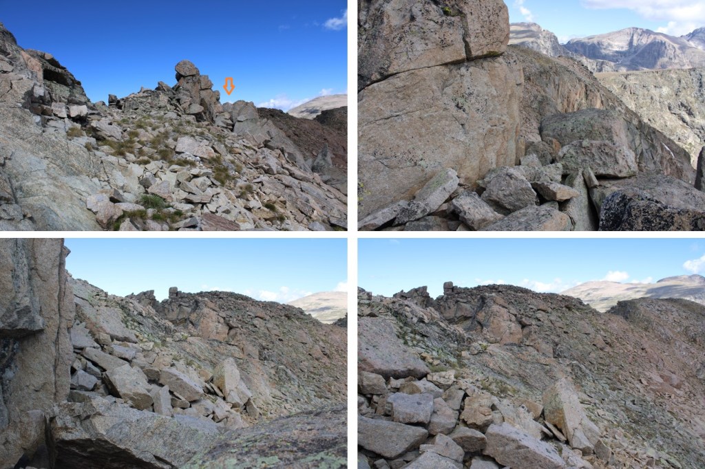
Once I made it to the ridge, I followed it west to treeline

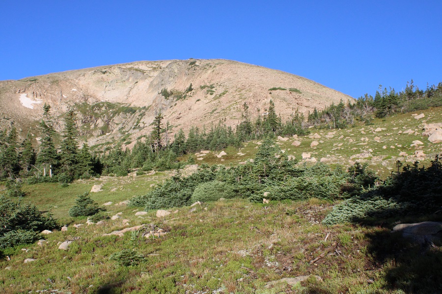
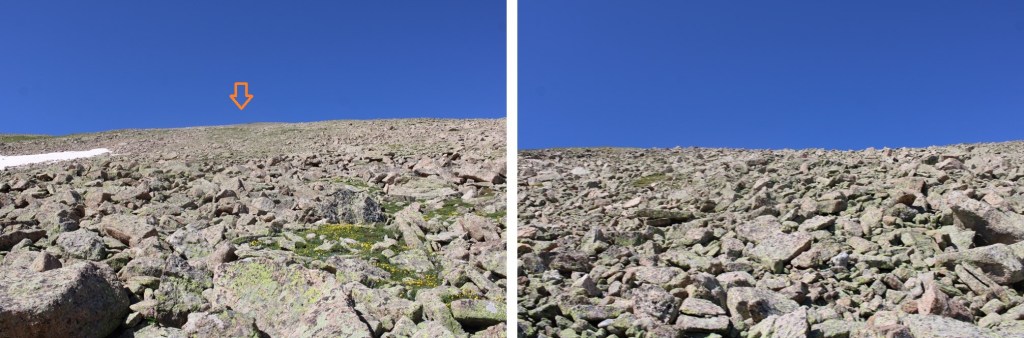
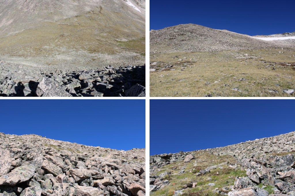
The route from here was straightforward.  I stayed o the ridge, following it west.  The terrain started out as loose rocks, then changed to tundra.

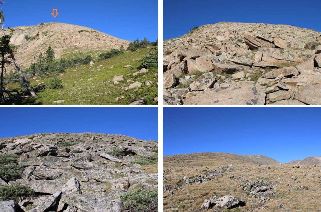
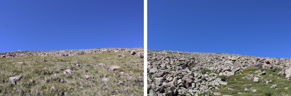
When you get to the tundra, don’t be fooled:  this is a false summit.  Stay to the left of it

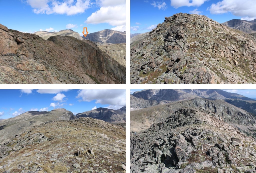
This is the true summit of Manaha Peak.  It’s easy class 2 to get there

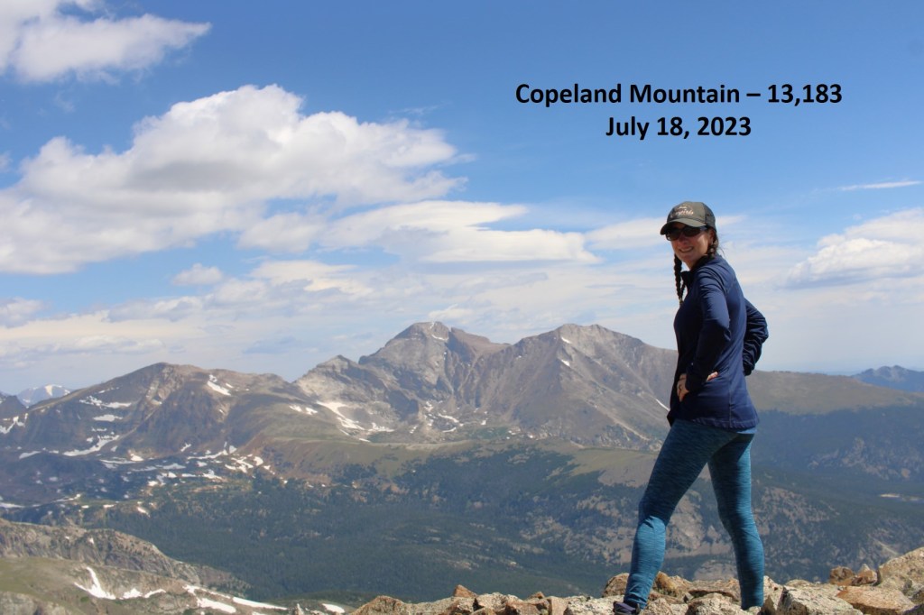
I summited Mahana Peak at 9am
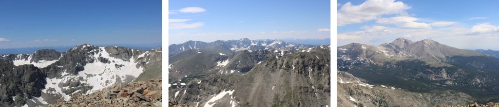
Mahana Peak:

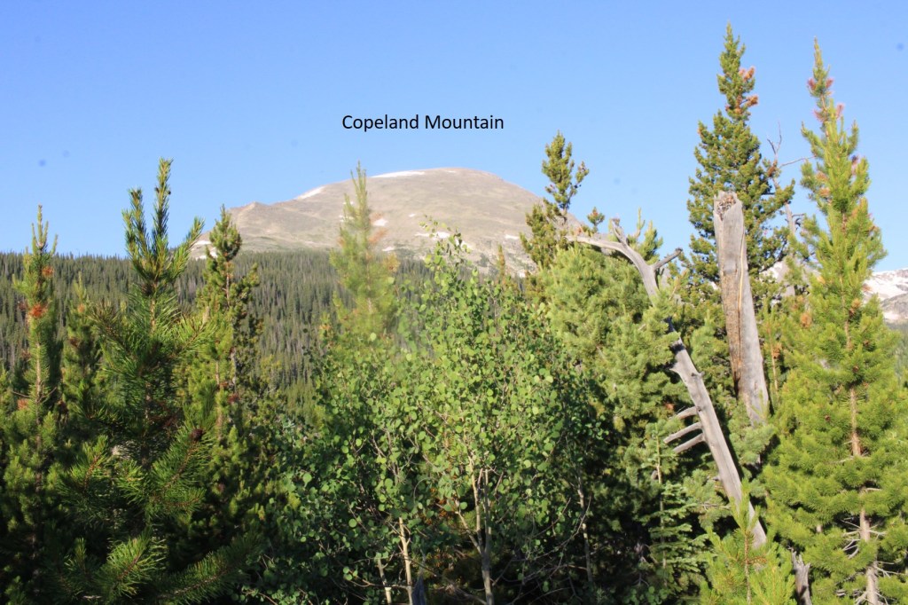
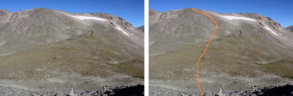
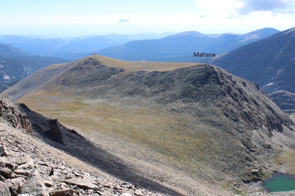
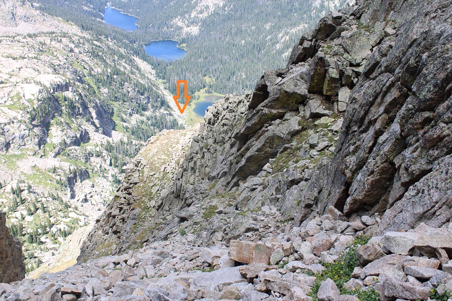
From Mahana Peak, I could see Isolation Peak to the northwest

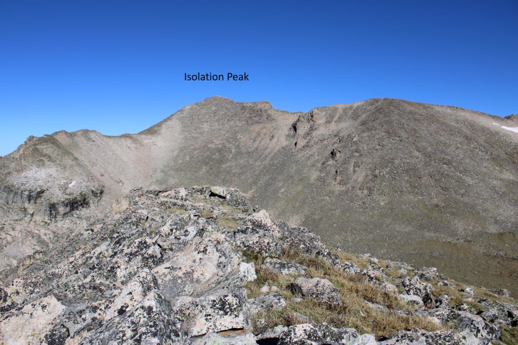
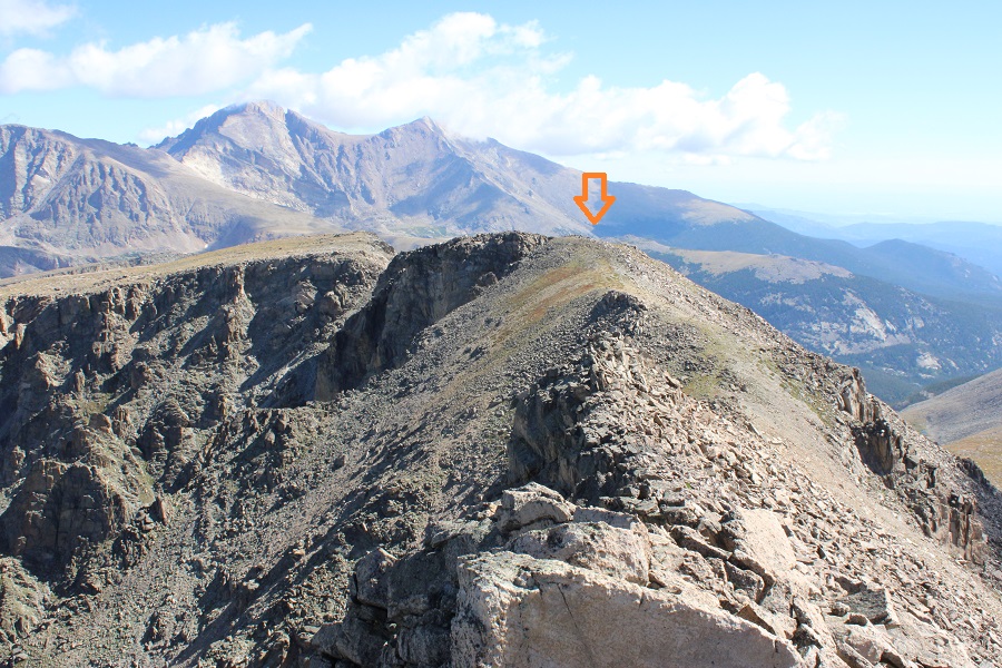
To get there, I headed northeast along the ridge until I came to a low point, and then headed northwest towards the ridge.

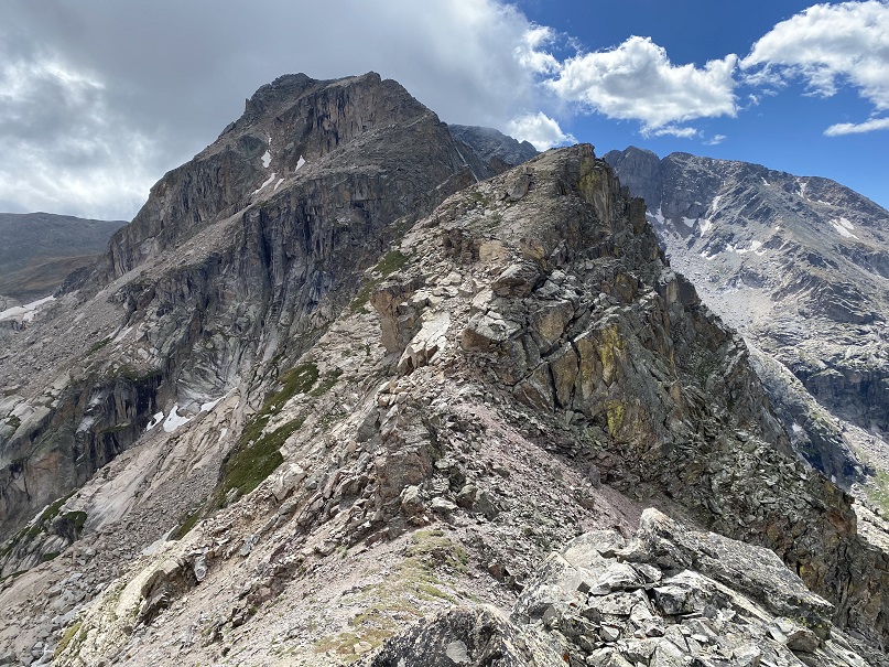
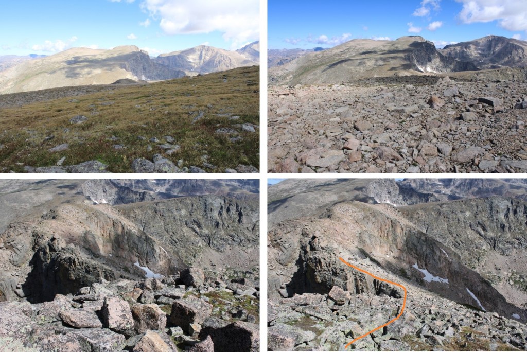
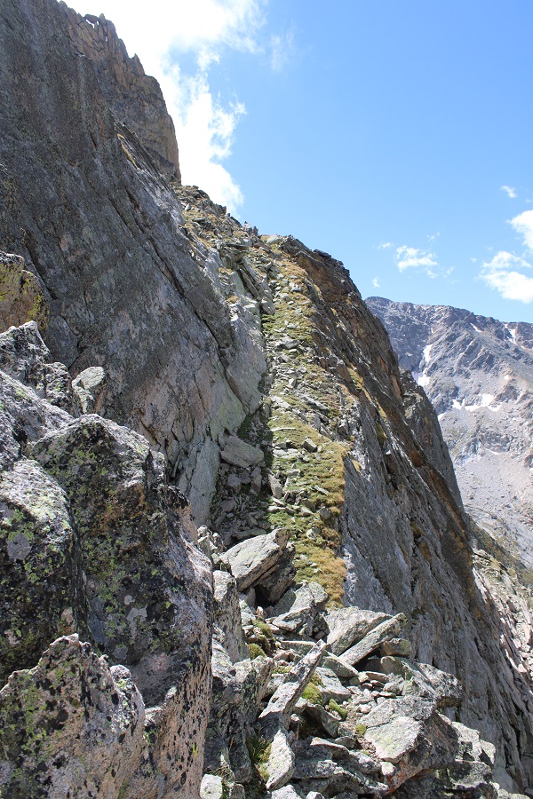
This is the overall route I took to gain the ridge of Isolation Peak.  If you look carefully, you will see a green band of grass that makes the route easy to follow.  I descended on rocky terrain, then was greeted with tundra, then rocky tundra as I ascended.

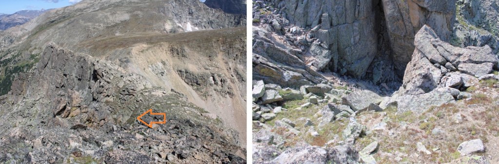
Once on the ridge, I turned left and could see Isolation Peak to the southwest. This was a class 2 hike, sticking to game trails either directly on or to the left of the ridge, until the last 10 feet or so, when it was a quick class 3 scramble to the summit

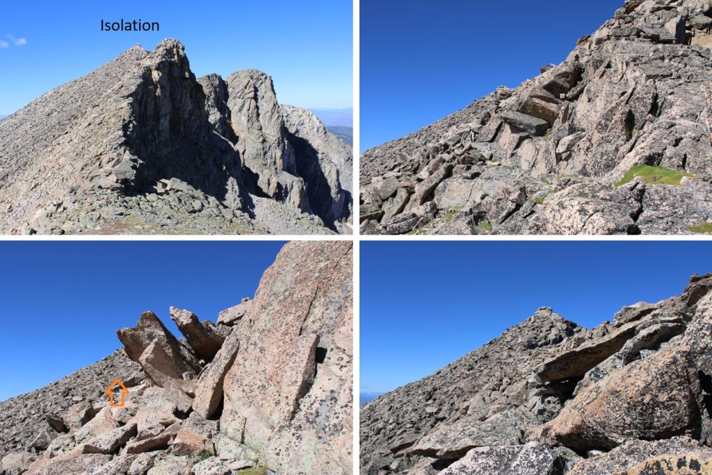
I’m pretty sure this block is the summit.  I sat on it, but briefly.  Pictures/video were difficult.  The summit rocks didn’t feel stable, and I could see through them to air below if I looked down. 

I summited Isolation Peak at 10:30am
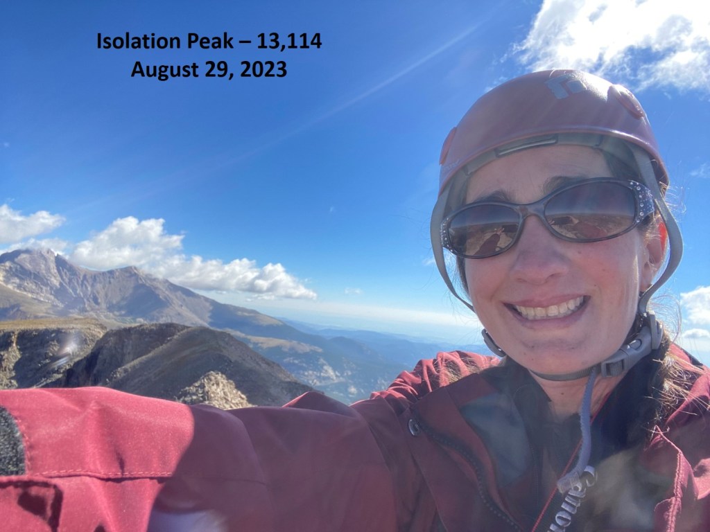
Isolation Peak:

Here’s looking back at Mahana Peak from Isolation Peak

If you’re not up for class 3-4 scrambling, now’s the time to head back the way you came in, towards Mahana.  It’s the fastest route.  If you’re up for some scrambling, strap on your helmet if you haven’t already, and head northeast along the ridge.  Some of this ridge I’d consider choose your own adventure.  This is the route I took, keeping it class 3, with some easy class 4 scrambling (down chimneys/gullies).

I was now back to where I ascended the ridge, and followed the ridge northeast.  There is a lot of elevation gain and loss on this descent

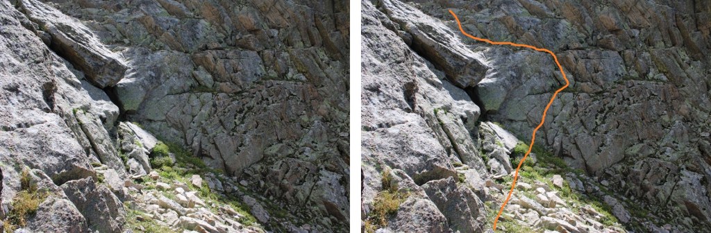
I went to the right of this boulder.  Getting through was sketchy class 3.  The boulders were large, but there was a lot of empty space between them, and they didn’t feel solid. 

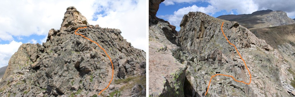
My next objective was to make it here (this was class 2, sticking to the ridge)

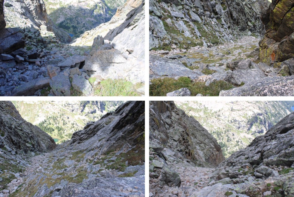
This is where it got a bit tricky.  I turned left, and descended into a rather large and steep gully.  I spent a lot of time in this gully route finding, and my advice is to stick to the gully proper until you make it down to 12160’.  You’re trying to go below this rock formation, which goes a lot further down than you’d think.

I turned left, and descended into the gully

I came to a place that looked like it cliffed out, but it was really just a drop onto a boulder, then a 7-foot downclimb. 

Here’s looking back up at the gully

And a look at the final drop.  The boulder in the middle was essential to the descent.

This was at about 12160’, where I stopped descending the gully, and looked for a grassy ledge climbers right. 

I made it to the ledge, descended another grassy ledge, then reascended a grassy ledge to re-gain the ridge

For those of you doing this the opposite way, here’s a look back at the grassy ledge I descended.  You can see why I had to drop down so low in the gully, with the sheer cliff face to navigate.

Here’s how I got around the next few obstacles

And that was it for the climbing for today.  I kept my helmet on because I still had a scree-gully to descend, but all the class 3 and 4 stuff was done.  I’d wanted to head over to Mt Alice today too, but clouds were forming and I didn’t think it was a good idea.  I headed towards Boulder-Grand Pass, turned right, and descended the gully towards Lake of Many Winds.  From the pass, it was 9.5 miles back to the trailhead.

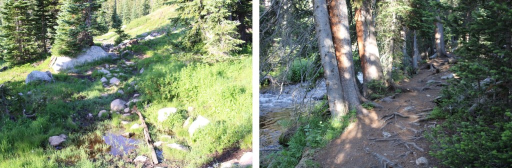
A good trail picks up here, and leads all the way back to the Wild Basin Trailhead.  Here you can see Thunder Lake.  This trail becomes the Thunder Lake Trail, skirting the lake to the left.  This is a class 1 trail.  Once again, it’s very well marked, with signs indicating the route back to the Wild Basin Trailhead

I made it back to the trailhead at 4:45pm, making this a 21.79 mile hike with 5665’ of elevation gain in 12 hours, 45 minutes, at least according to CalTopo.  Strava gave me drastically different numbers

On to the next trailhead!

Copeland Mountain – 13,183

RT Length:  17.49 miles

Elevation Gain:  4975’

I arrived at the Wild Basin Ranger Station I RMNP at 4:30am and was on the trail at 5am.  There are several adjoining lots in the area, with room for about 50 vehicles.  The very well market trail starts at the southwest end of the parking area.

I was headed to Ouzel Lake, on a trail that first passed Copeland Falls, Calypso Falls, and Ouzel Falls (that’s a lot of falls) along the way. 

In true RMNP fashion, this is a well maintained, class 1 trail.

After hiking for 1.5 miles, I continued straight (towards Calypso Lake and Ouzel Falls) at this junction

I continued to follow the well-maintained trail southwest, crossing several bridges

After hiking for just under 2 miles, I came to another junction, where I turned right and continued following the trail towards Ouzel Falls

Here’s where I made a mistake.  After hiking for about 3 miles there’s a junction where you turn left. In the dark, I didn’t see this junction, and continued on another half mile before realizing my mistake.  In any event, turn left at this junction, and continue heading towards Ouzel Lake.

It is along this part of the trail you’ll get your first glimpse of Copeland Mountain.

Here’s the final junction before coming to Ouzel Lake.  Follow the signs and continue straight.  Also, tale note of the gully on the left.  That’s what you’re going to want to ascend, and it’s a bushwhack below treeline with very little for sense of direction. That’s where you’re going to want to aim for to gain the ridge.

The trail was a bit washed out just before making it to the lake

After hiking for a total of 6.75 miles, you should make it to the lake.  It was more than that for me, because of my little side trip.

The water level was high, so the place where I would usually cross was underwater.  I changed to my creek crossing shoes, and waded the creek here.  The water level was up to my thighs.

This is where the bushwhacking begins.  I followed light game trails as they skirted the east side of the lake, then found a creek/drainage (not on a topo map), and followed it south to the ridge.  When you see it, you’ll know it’s an obvious drainage, the trouble is finding it in the dense growth.  Here are some pictures of the terrain.

Once you find the drainage, which will be full of vegetation and downed trees, and maybe even some water, continue heading south.

The drainage became rocky, which meant route finding was easier.

I headed up the rocks until they stopped, then turned right, and followed what could have almost once been a road for about 10 yards west, turned left, and followed another rocky drainage south to treeline. There was actually a cairn here (circled)

The rocks were solid, and easy to scramble over.  The rocks eventually became dirt, and I briefly entered the trees before making it to treeline, but I was always going south

From the lake, it was 1.2 miles, with 1100’ of elevation gain to treeline.  At treeline, I turned right, and followed the slope southwest towards the summit, gaining another 2100’ in 1.2 miles.  While a topo map makes it look like a gentle slope, it was anything but. The summit always looked out of reach.  It was one long false summit, where you thought you were almost there, and then you were surprised by more rock. The terrain started out as tundra, then switched to rocks that tended to roll if you weren’t careful. Route finding and terrain were all class 2.  There was also a lot of water here.  Even at the summit, I could hear the water rushing under the rocks.  Below, on the tundra, I saw several small streams of water flowing downhill.  This was all choose your own adventure.  Here are some pictures. 

At what I thought was going to be the summit I was met with some unexpected snow.  The snow was punchy, so I skirted it to the right and regained the ridge

Only to find more rocks,  Here you can see the true summit of Copeland Mountain

I summited Copeland Mountain at 10:45am

Copeland Mountain:

There was a plastic tube summit register at the top, which needs more paper. The only paper in there was (of course, since it’s a plastic tube) wet.  Here are some of the views from the top of other peaks in the area

I turned around and headed back the way I came, but navigation was a bit tricky, as everything looked the same

I headed northeast, and knowing if I went too far north I’d cliff out, I kept this meadow in my sights and aimed for it until I could see a proper route back down

Here’s the route I took back to treeline

Note where Ouzel Lake is to the left, as that’s where you’re headed.

Here are some pictures of the gully down

And the short traverse to the east

Then the bushwhack back down to the lake, following game trails where I could find them

I once again put on my creek crossing shoes and crossed Ouzel Creek.  I’d really recommend creek crossing shoes, as the rocks under the water were very slippery

Here are some pictures of the trail back to the trailhead.  The signs (in daylight) make route finding easy.  Keep heading east towards either the Ranger Station, or Wild Basin Trailhead (the signs differ, but they get you to the same place).

I made it back to my truck at 2:45pm, making tis a 17.49 mile hike (with a bit added due to missing my cutoff) and 4975’ of elevation gain in 9 hours, 45 minutes. 

Side note:  if you see strange looking tracks, that look like a cross between a moose and a deer, they’re probably Alpaca Tracks.  I saw a trekking company with a few guests and 6 alpacas hiking into the basin to camp.  It looks like they do this a lot.  Make sure to step aside for them as they pass by you on the trail.

On to the next trailhead! 

Or so I thought… While I’d been hiking they had closed off the parking area, with about 15 vehicles in the lot.  As I tried to exit, a ranger asked me if I’d mind waiting a few minutes, as they were felling trees in the area.  While I waited for about 45 minutes, not one single tree was felled, and they decided to let me go.  I drove out, and someone was grading the road, so I waited for him to pass by.  He asked me to drive slower (although I’m not sure how I could drive much slower than 5mph).  When I got to the gate, it was locked, and I had to wait again for someone to open it. Apparently, they’d closed the roads for mitigation/tree work, etc. but hadn’t put up any signs warning people arriving before they got there they were going to close the road.  3 hours later, I was on my way home.