RT Length: 13.34 Miles
Elevation Gain: 4167’
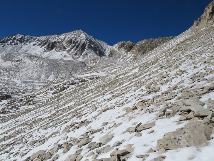
With the recent snow I wasn’t quite sure what to expect on today’s hike. I drove down road 742 in the dark until it dead-ended. The road was icy in the morning, and not too bad on the way out.

I parked at the trailhead, the only vehicle in the lot (both when I arrived and when I left).
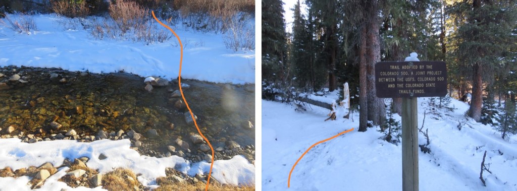
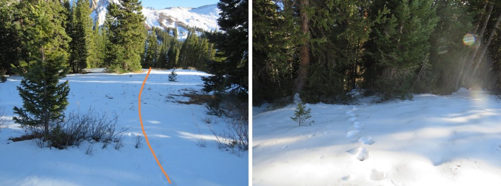
It was 14 degrees outside, so I put on my full winter gear and was on the trail at 6am. The trail starts at the southwest corner of the roundabout, and immediately crosses a stream.

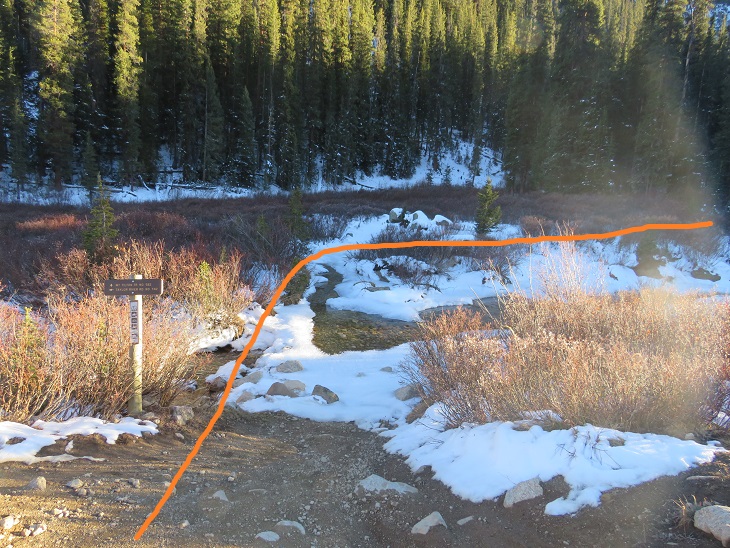
In the morning there was more ice than this photo shows, and the stream was at least a foot deep in areas. There was no way I was starting this hike off with frozen toes, so crossing the stream here wasn’t an option. I spent about 15 minutes searching for a better way to cross (in the dark). I was able to find a good crossing about 15 yards upstream, rock hopped across without any difficulty, and picked up Mt Tilton Trail #582.
Even with the recent snow the trail was well packed, but not by humans. It was packed down by hoofprints. Some very large hoofprints. There was also fresh moose scat along the trail and a lot of moose tracks, so I kept on the lookout (but never ended up seeing a moose).

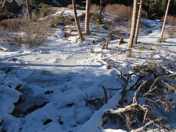
There was one more stream crossing. This one was almost completely frozen over. I didn’t really want to cross it, not being sure of how thick the ice was, but I noticed a set of moose tracks on top of the ice and figured if a moose could cross the stream, so could I. I placed my feet on top of the moose tracks and made my way across.
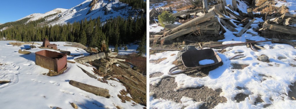
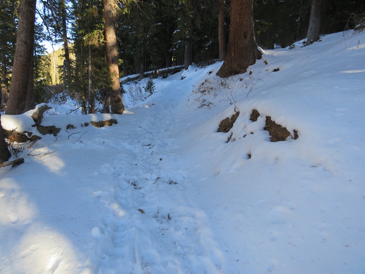
The trail remained easy to follow, no traction needed. I passed the remains of a log cabin

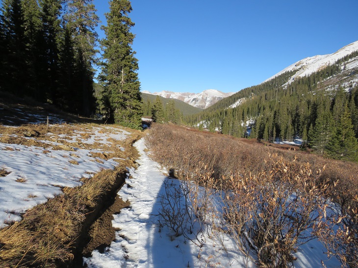
And after hiking for 2.15 miles I came to a second set of log cabin/mining remains and a trail junction. I turned right and followed Taylor Divide Trail #440
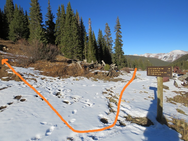
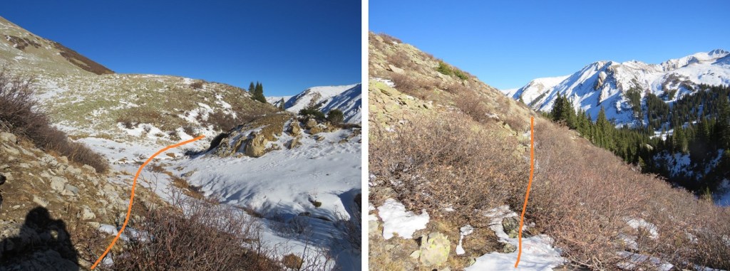
I followed this trail briefly, about one tenth of a mile, until the trail started to head back down, and instead turned left and headed northwest up to treeline. It was about half a mile to treeline from leaving the trail.
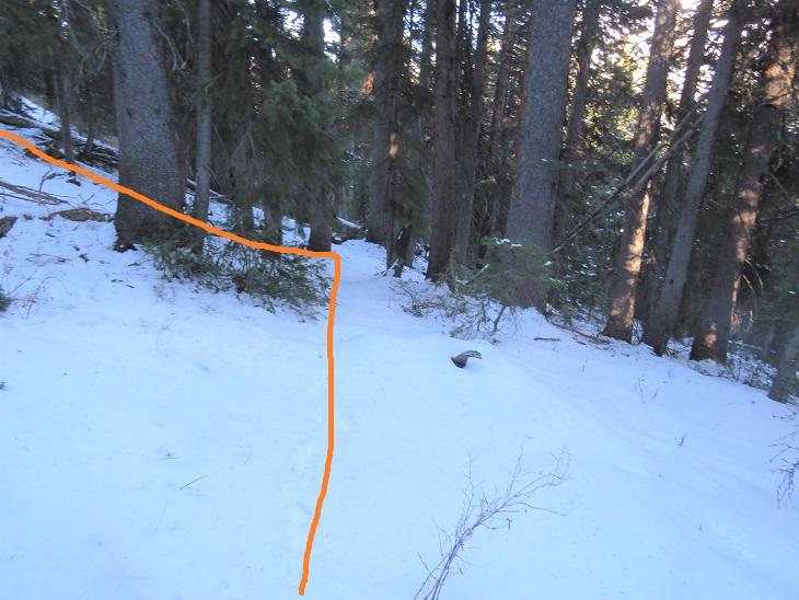

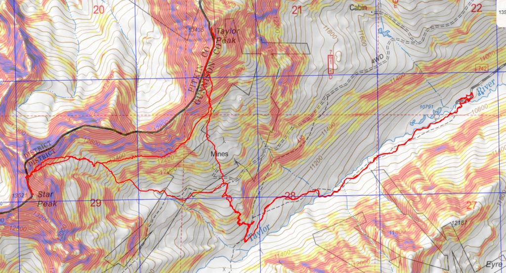
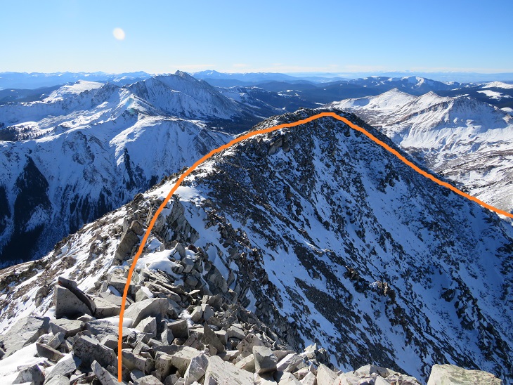
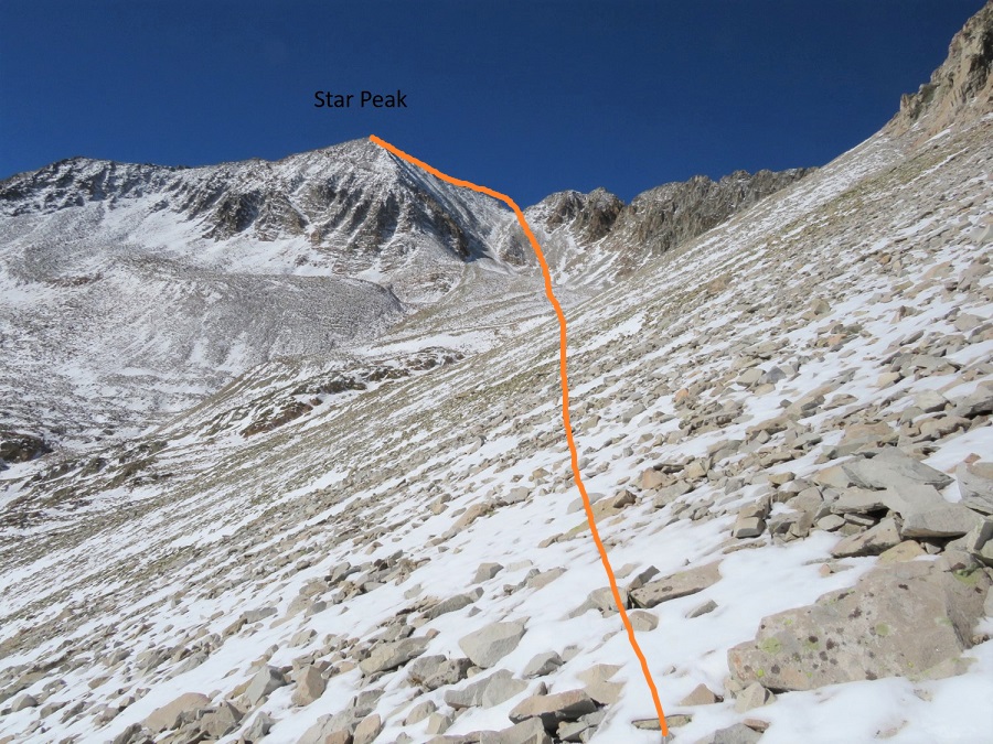
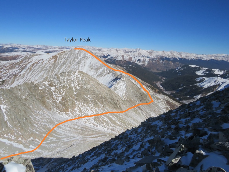
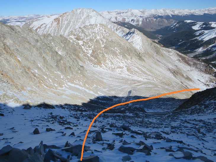
Once at treeline I had a great view of Taylor Peak and how I wanted to summit. Here’s an overview of my route
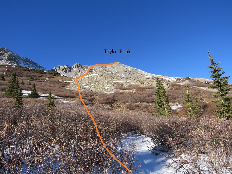
And step by step. I stayed to the right of the willows to gain the basin
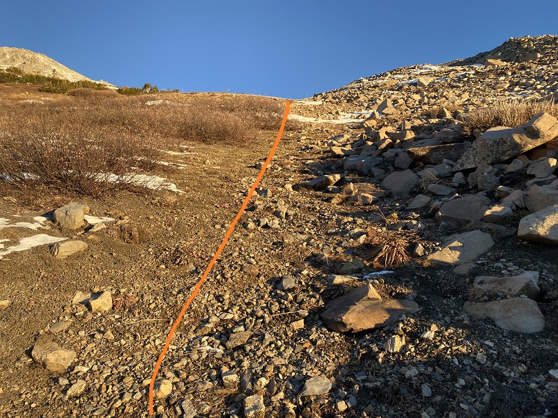
Once in the basin I headed north to gain the ridge

The rocks here were loose, and there was just enough snow to make it slow going, as I had to watch every step. I was worried I’d roll an ankle or plunge into a hole underneath the snow.
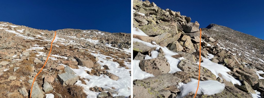
Once on the ridge I followed it north to the summit. There were two false summits before reaching the actual summit
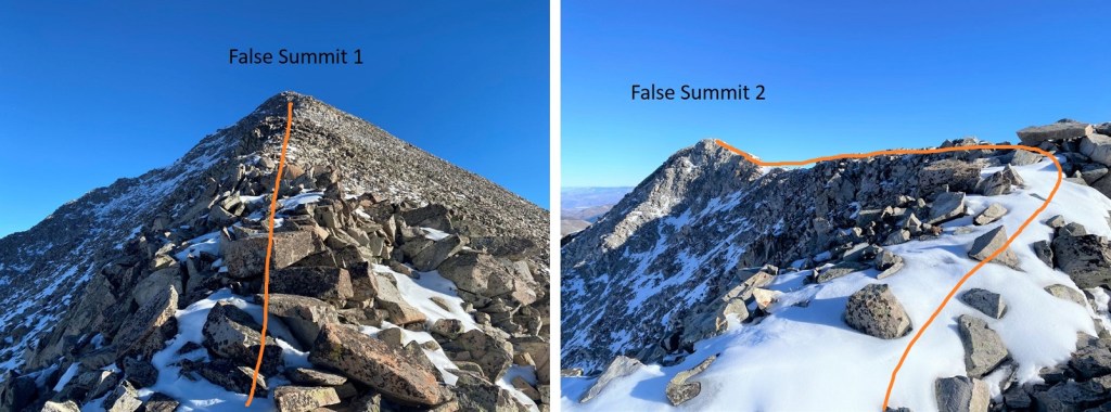
The ridge to the second false summit had some snow to navigate, and what became class 3 climbing due to snow on the route. Sticking to the ridge worked
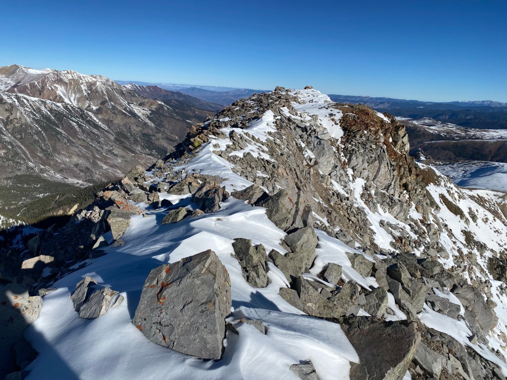
Here’s the actual summit of Taylor Peak
I summited Taylor Peak at 9:40am
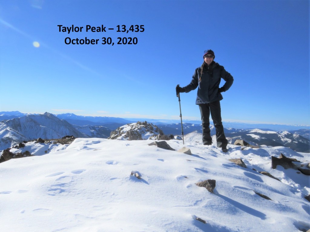
Taylor Peak:
It was a bluebird day, so I decided to head over to Star Peak as well. This ended up taking a lot more time than I’d anticipated. There was just enough snow to make me question every step. The snow as sugary, the rocks rolled, and as it started warming up as the day went on the snow became slippery.
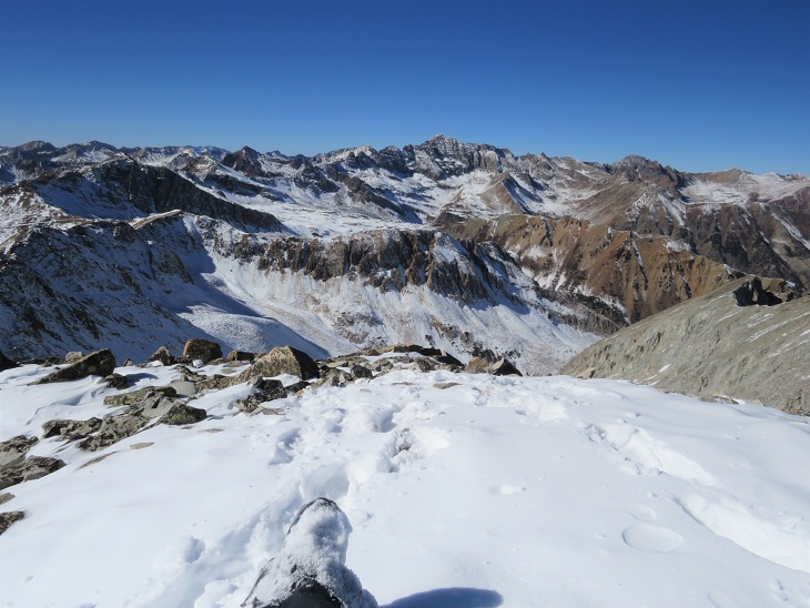
Here’s a look at Star Peak from Taylor Peak

The ridge doesn’t look like it ‘goes’ all the way from Taylor to Star, especially towards the end, so from the summit of Taylor Peak I turned and retraced my steps back to the basin.
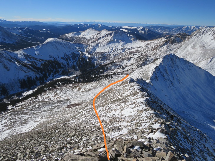
Once in the basin I stayed high and followed the mountainside west
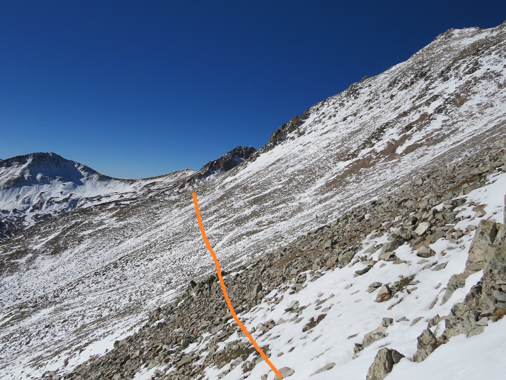
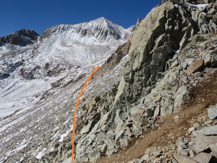
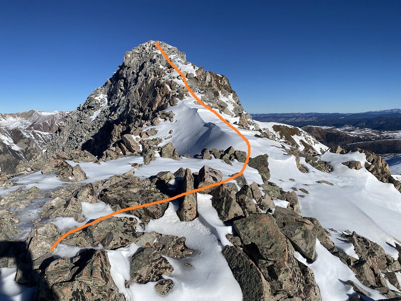
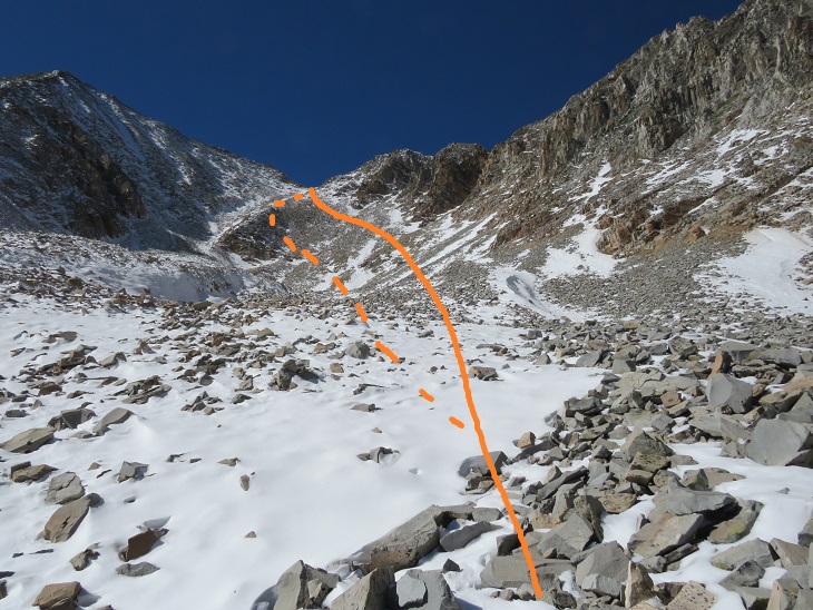
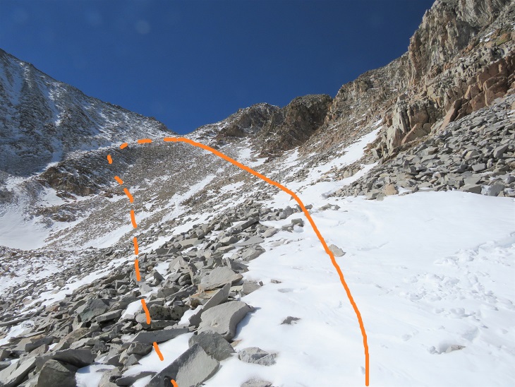
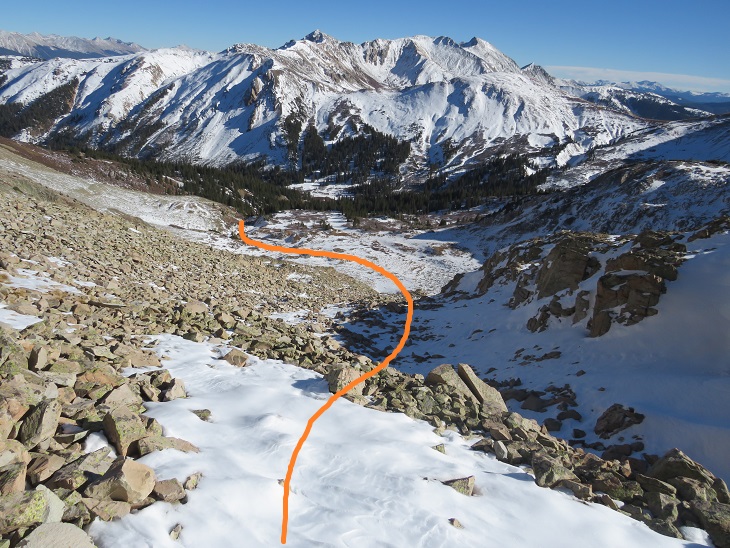
I believe the traditional way to gain the ridge here is to use the gully, but I didn’t like the current conditions, so instead I took a slight ramp to the right of the gully. The rock here was rubble, loose, and not much fun to traverse. However, once I’d gained the ridge and looked down the gully I knew I’d made the correct route choice in todays’ conditions. Here’s my overall route to Star Peak
I took the solid line up, the dotted line down (I’d recommend using the dotted line, as the higher you go here the more loose the rock is)
Once on the ridge I followed it south to the summit. This is probably class 2 in summer, but in these conditions it felt like class 3. The ridge goes, but it’s very narrow and the rocks are loose. The trek here was very slow going as I’d step on snow, only to break off a microwave sized rock or plunge several feet into a hole. I used my trekking pole to gauge every step

The summit was topped with snow
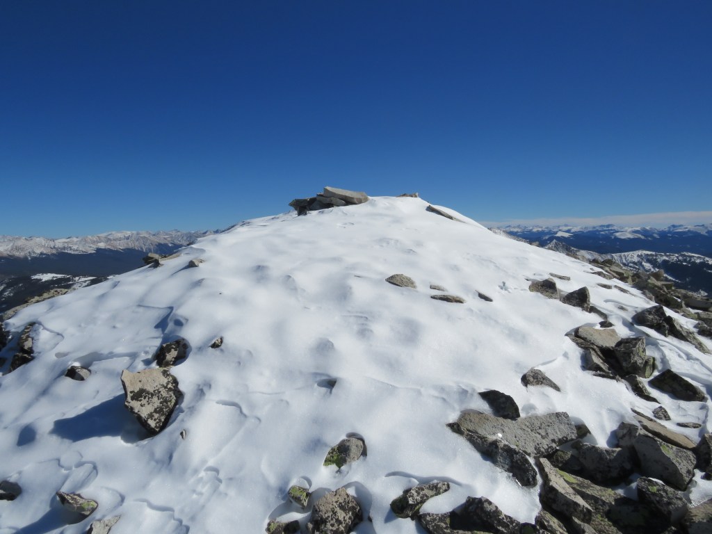
I summited Star Peak at 1:50pm.
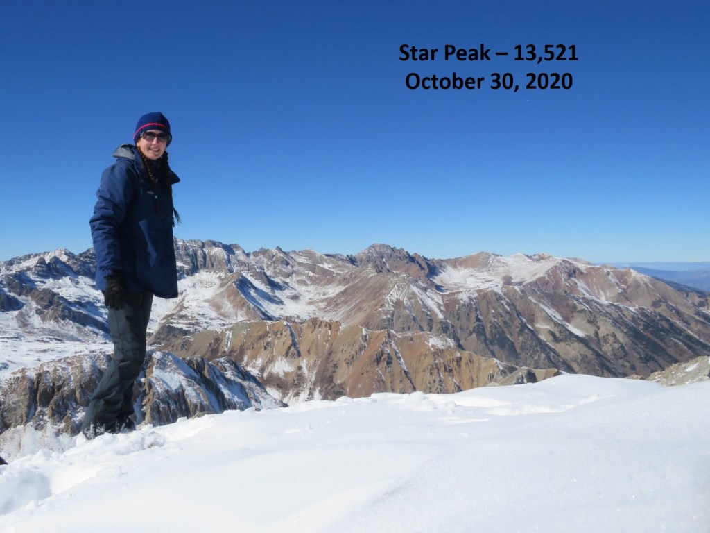
Star Peak:
It was a perfect, bluebird day, yet it had taken me quite a while to reach this summit. I sat for a bit to enjoy the view.
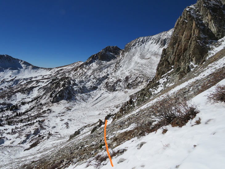
Here’s a look at the route from Taylor Peak to the ridge of Star
I headed back down the ridge

And down into the basin.
Once in the basin I aimed for the drainage
Here’s looking back on my route down from the ridge (dotted line) and the traverse from Taylor (solid line)

Once in the drainage I picked up a game trail that led me back to where I’d emerged from treeline.
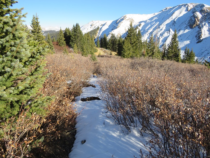
From here I followed the prints I’d made in the snow this morning south, back to the Taylor Divide Trail
And then back down the basin, over the frozen creek with the moose tracks

Following the well defined trail and crossing the stream that led to the parking area.

I made it back to my truck at 5pm, making this a 13.34 mile hike with 4167’ of elevation gain in 11 hours.