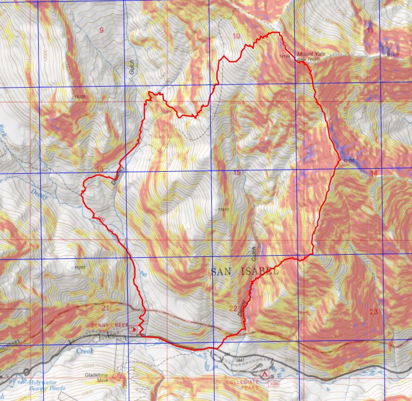
RT Length: 10.72 miles
Elevation Gain: 4839’
Note: I do not recommend doing this hike in reverse.
Two days before this hike I’d driven down Cottonwood Pass and noticed the route for Mt Yale and Mascot Peak looked virtually free of snow, whereas the other peaks in the area seemed to be holding a lot more snow.
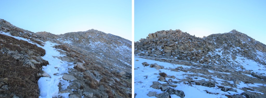
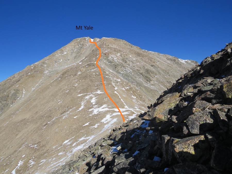
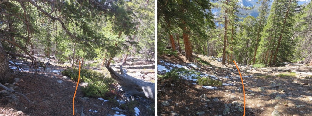
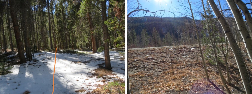
I arrived at the Denny Creek Trailhead and was on the trail at 4:40am. There was only one other vehicle in the lot, which could hold around 40 cars. I’m not going to go into great detail about the hike up Mt Yale because it’s very well documented and mostly a class 1 trail. I’ll just add a few pictures of today’s route.
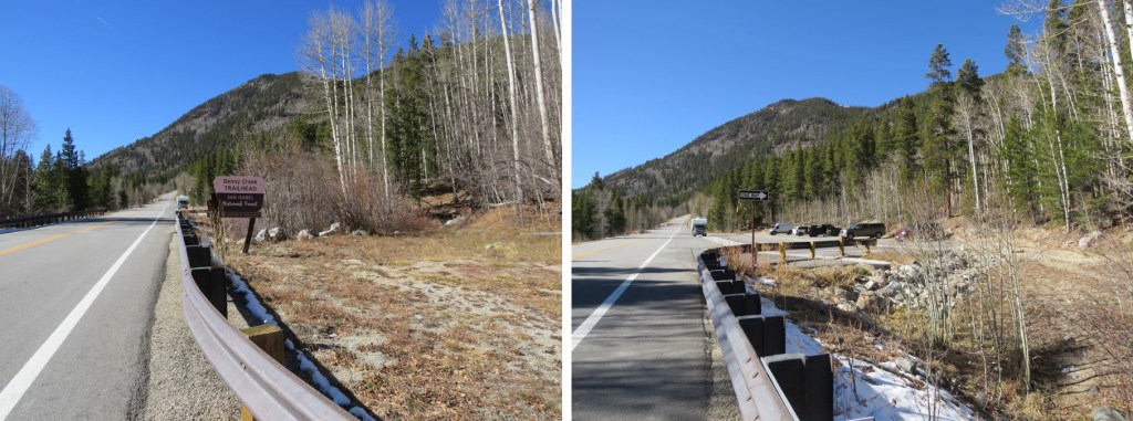
There’s a great trailhead sign indicating the start of the trail at the north end of the parking area

There were three frozen creek crossings, all easy to cross on logs (but remember, ice is slippery, so take care)

The trail was well packed to treeline. No traction was necessary.

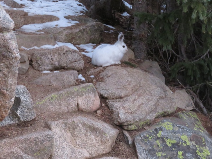
I saw a rabbit directly on the trail. This rabbit didn’t seem to mind my presence, and refused to move/run away until I was about 2 feet away from it. It ran and ‘hid’ under a pine tree, but since it’s now white I had no trouble seeing it behind the branches.
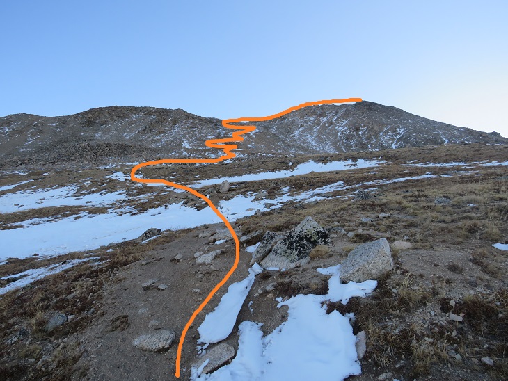
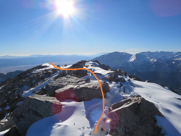
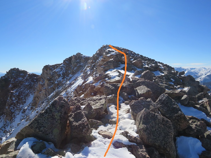
Once at treeline there was still snow, but it was easy to follow the trail to the saddle, and then southeast to the summit of Mt Yale.
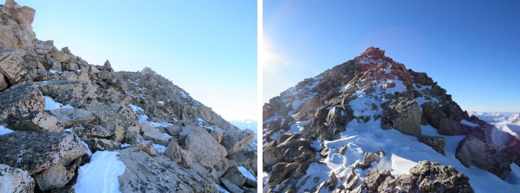
The summit of Mt Yale is the highest point at the southeastern part of the ridge.
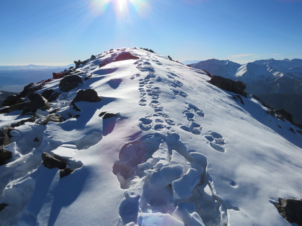
I summited Mt Yale at 8:20am. There was a sign at the summit (I don’t remember it being there last time I summited, and I’m surprised no one has taken it back down/hidden/destroyed it yet)
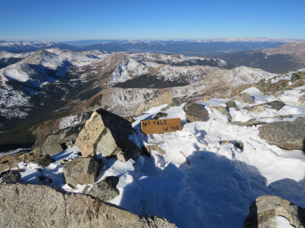
Mt Yale:
Mt Yale was where the tracks in the snow stopped, but Mt Yale wasn’t my primary objective today so I didn’t stay long on the summit. Instead I continued heading southeast, making my own tracks, postholing at times.

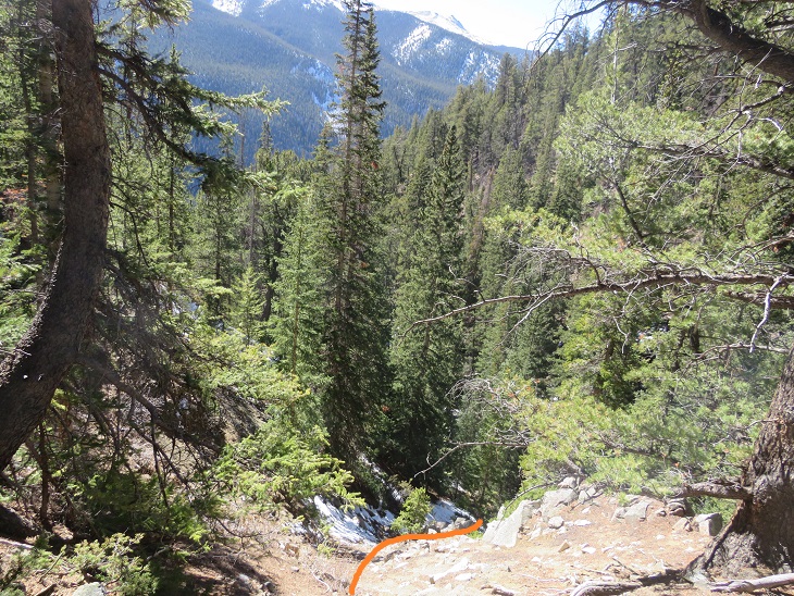
I came to a gully that I was going to descend before heading to the saddle between Mt Yale and Mascot Peak. There was more snow in this gully than the pictures show, and I was glad I wasn’t doing this in winter. A ice axe would have been helpful today, and I should have put on my spikes, but instead I balanced myself with my trekking pole on the slippery snow and made cautious decisions about foot placement. I descended 1122’ to the saddle.

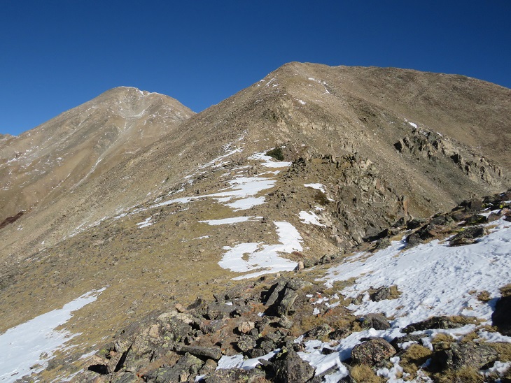
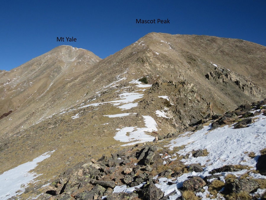
Here’s a look at my route from Mt Yale from the Yale/Mascot saddle. The snow at the top was more troublesome than it looks. There also seem to be several ways to descend to the saddle.
From the saddle the route up to Mascot Peak was simple, straightforward, and not as steep as it looked from Mt Yale. This was the easiest part of the uphill climbing for the day. The only difficulty was the wind.

I summited Mascot Peak at 10am
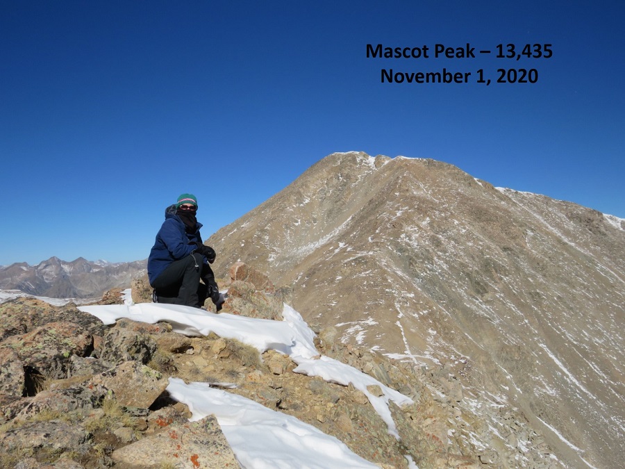
Mascot Peak:
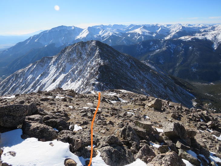
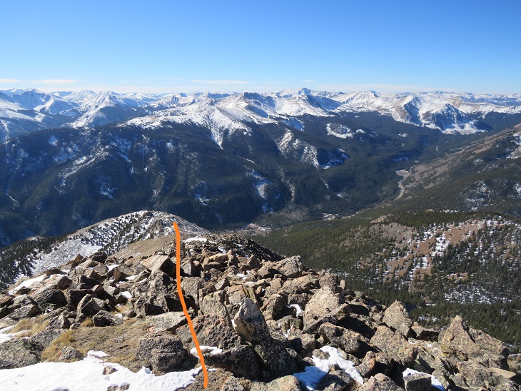
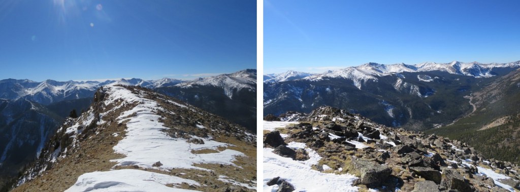
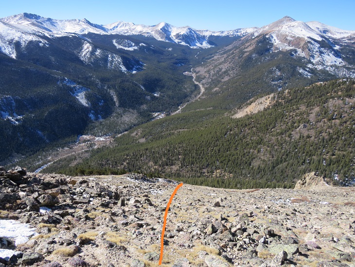
I was making this a loop today, so after a few pictures I continued southwest down the ridge. I stuck to the top of the ridge. There’s a great view of Cottonwood Pass until you get to treeline, so as long as you stay on the ridge it’s difficult to get lost.

Here’s looking back at Mascot Peak and Mt Yale from the ridge
Just before treeline I left the ridge and headed right (west) down what could loosely be called a gully.
I aimed for an old, solitary tree standing amongst the rocks, and then followed the gully as it descended southwest to Denny Gulch
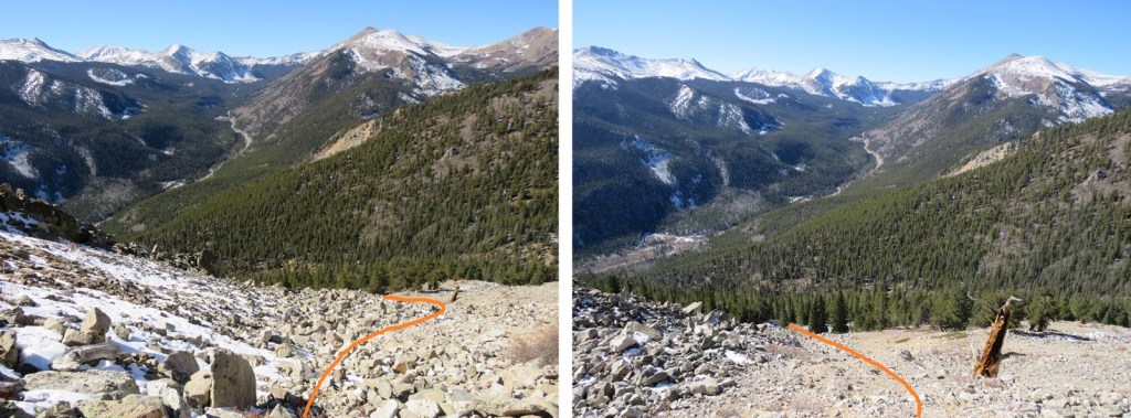
I kept following the obvious curve as it headed to treeline (no trail here, just keep taking the path of least resistance towards Denny Gulch)
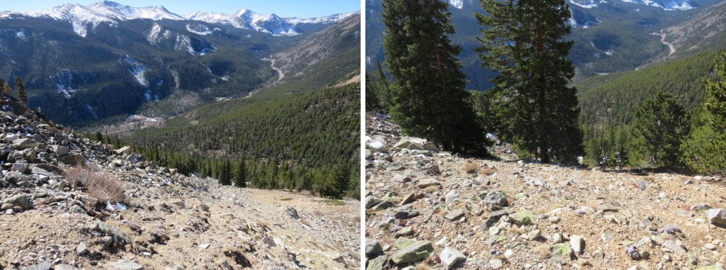
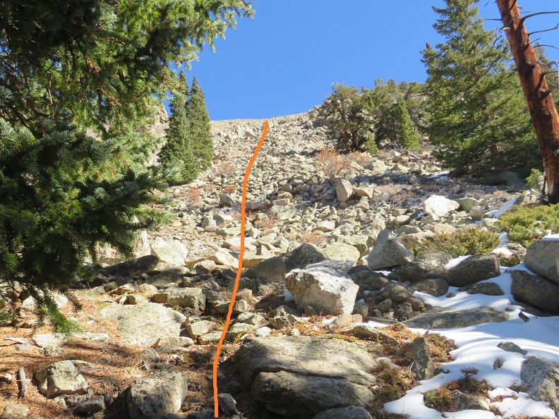
In case you want to do this route in reverse, here’s looking back at the route from before treeline and up to the ridge. I would not have wanted to upclimb this, and instead recommend taking the class 1 trail up to Mt Yale. This was very steep, and fun to scree surf down.


Once at treeline I kept aiming for Denny Gulch, following a drainage of sorts southwest
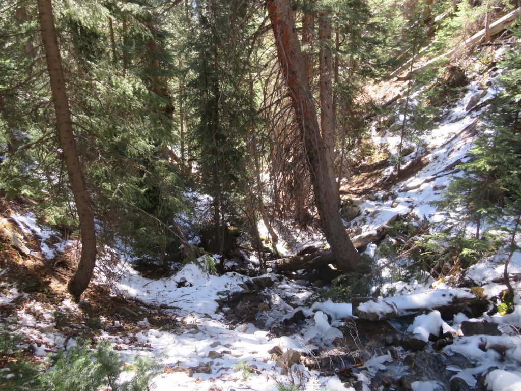
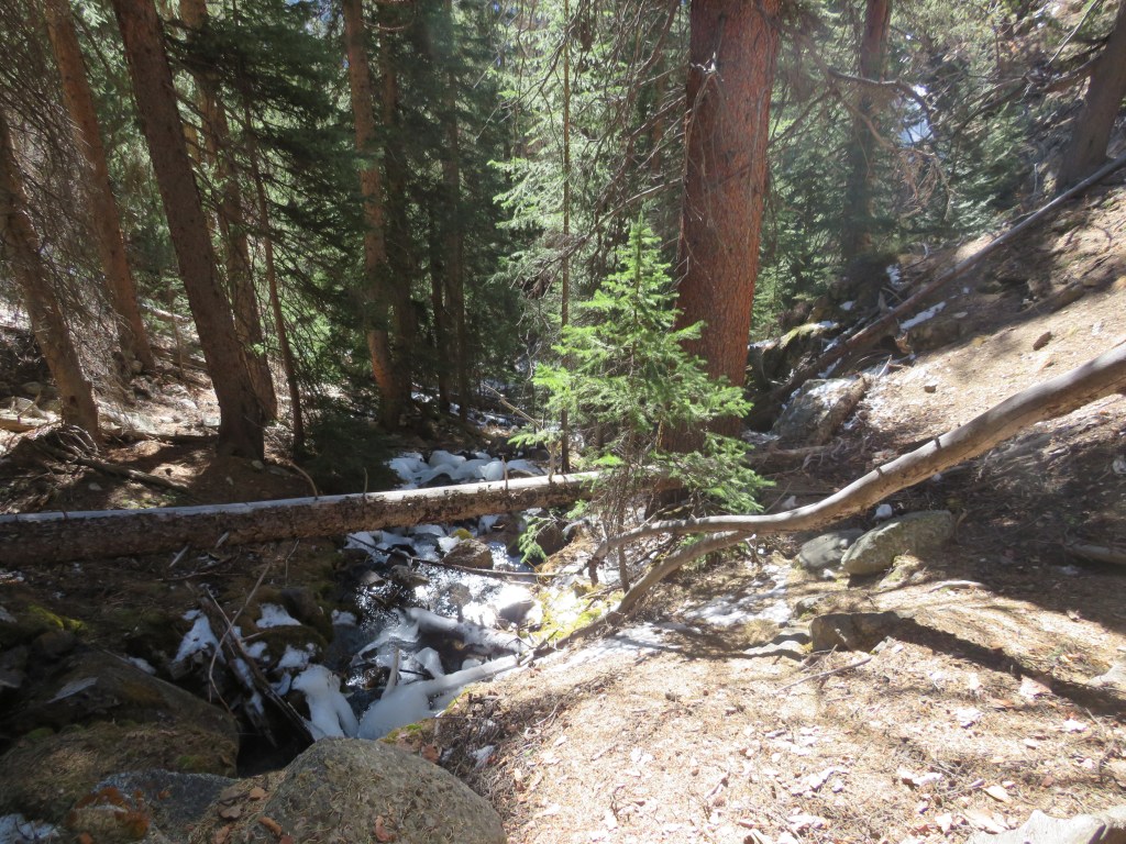
It’s obvious when you reach the gulch, as the mountain starts to back up again. There was a small stream running, and I decided to follow this stream south. I kept crossing and recrossing the stream to find the best route. There were a few animal trails here, and a lot of ducking, climbing, and bushwhacking over fallen trees and through overgrown bushes to get back to the road.
I could have followed Denny Gulch all the way to the road, but ended up coming across a well-defined game trail that headed northwest. I took that for a short distance, and it turned into the remnants of an old mining road that looked like it hadn’t been used in half a century or so.


I followed the old road until it abruptly ended, but I could hear vehicles on the road in the distance, so I aimed southwest towards the road
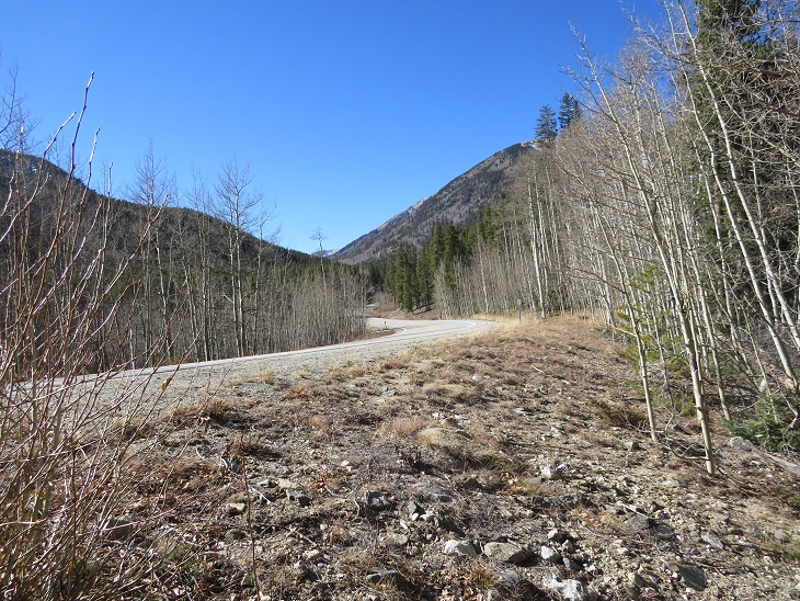
Once at the road I followed it west back to the trailhead
I made it back to my truck at 12:40pm, making this a 10.72 mile hike with 4839’ of elevation gain in 8 hours.
The Mt Yale Summit Sticker can be bought here