RT Length: 8.88 miles
Elevation Gain: 3538’
I was I this area two days ago, but had a commitment back in Colorado Springs, so I went back home for a day. The event ended at 8pm, and I drove back up to the Lily Lake trailhead that evening. It was a Thursday night, but I was surprised to see a lot of the dispersed campsites already taken. I ended up taking the last space, at 10350’, just before the downed trees started along the road. I’d wanted to camp lower, but this would be a good place to set off for my next hike in a few days. I was on the trail at 5am.
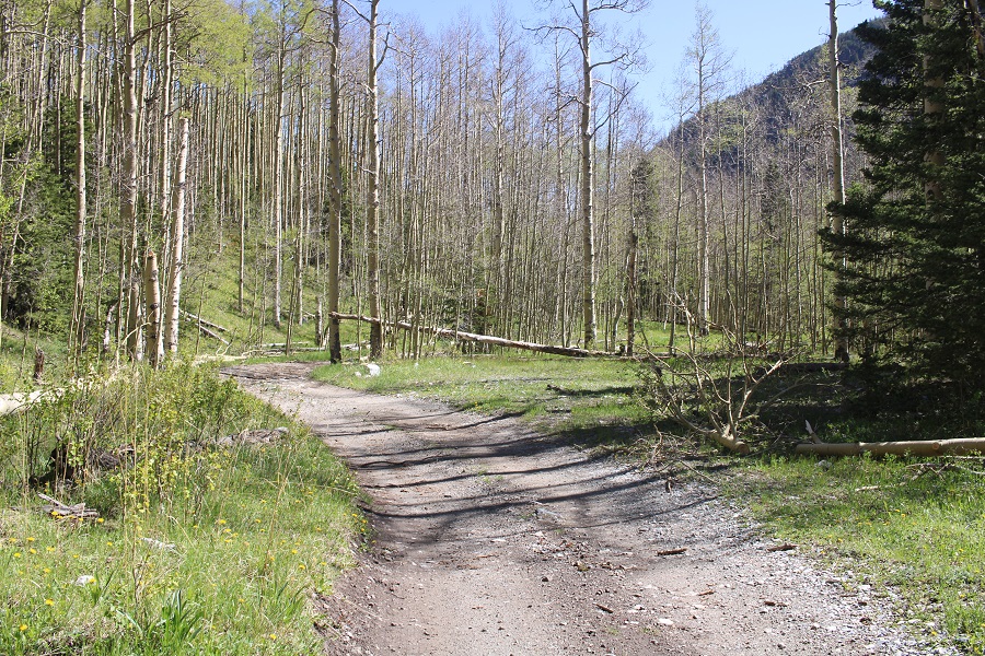
I followed the 4WD dirt road north for XXXX miles, to the Raspberry Trail (1307). This had been where I’d wanted to stop for the night, but there were vehicles already camped there.
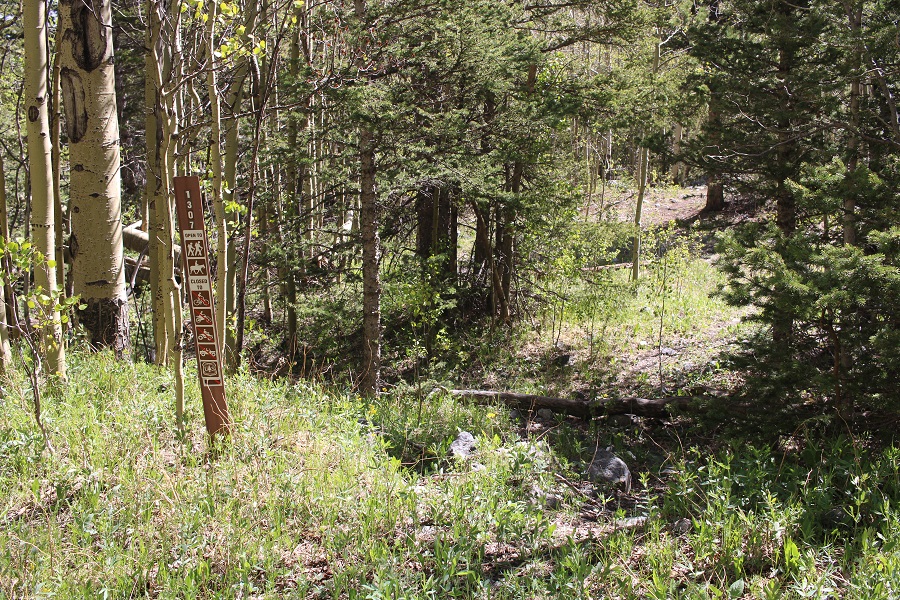
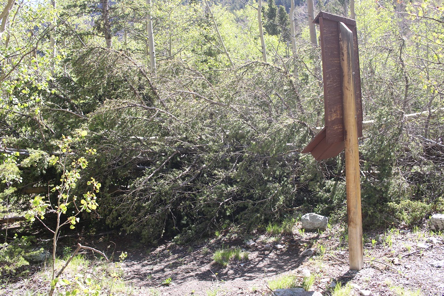
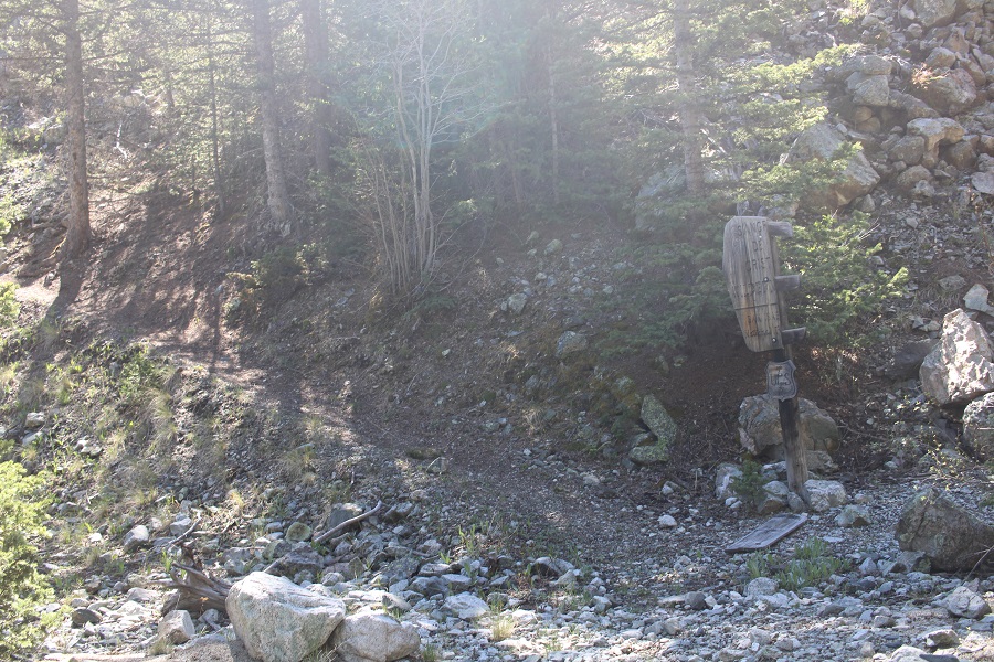
I followed the Raspberry Trail to a register, signed my name, and navigated around the downed tree blocking the path
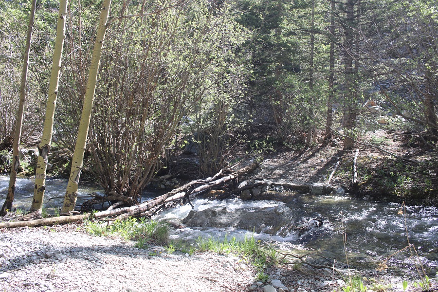
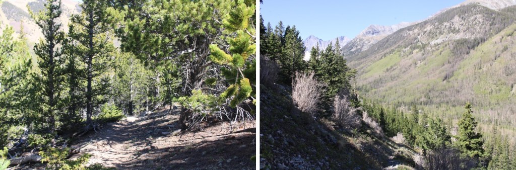
I followed the trail down to the Huerfano River, and crossed it on downed logs

From here, I followed the class 1 trail as it switchbacked up the hillside. There were several large downed trees obscuring the trail, but the trail was always easy to find.

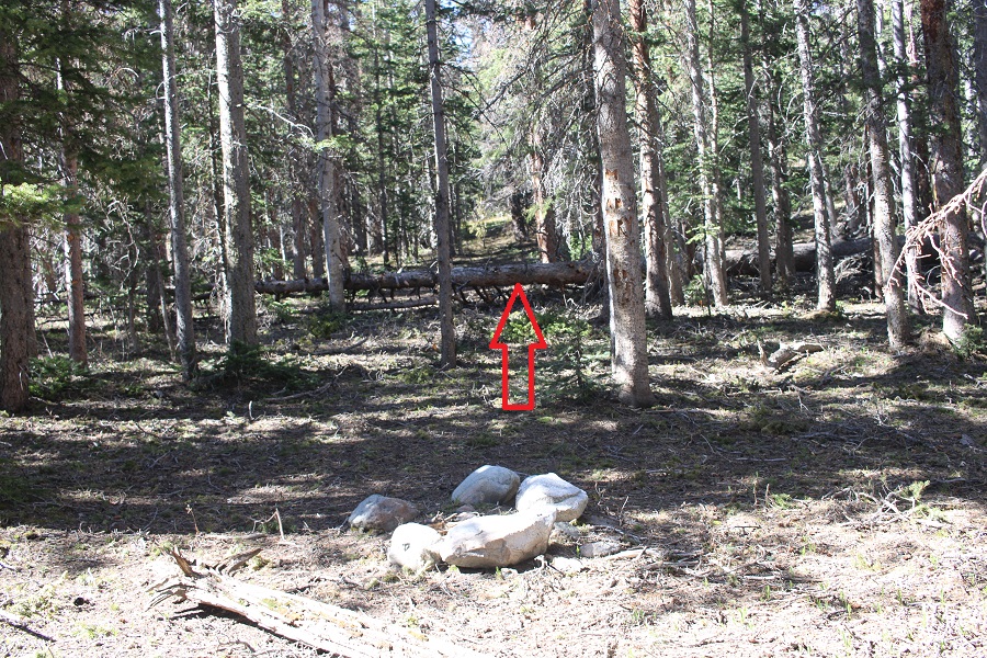
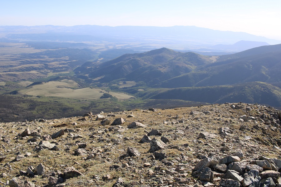
The trail leveled off, and I came across some fire rings. Here I left the trail and headed south until I hit treeline. There was no path, and there were a lot of downed trees, but navigation wasn’t very difficult.
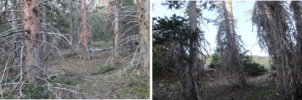
Once at treeline, the ground changed to tundra. I continued following the tundra south.
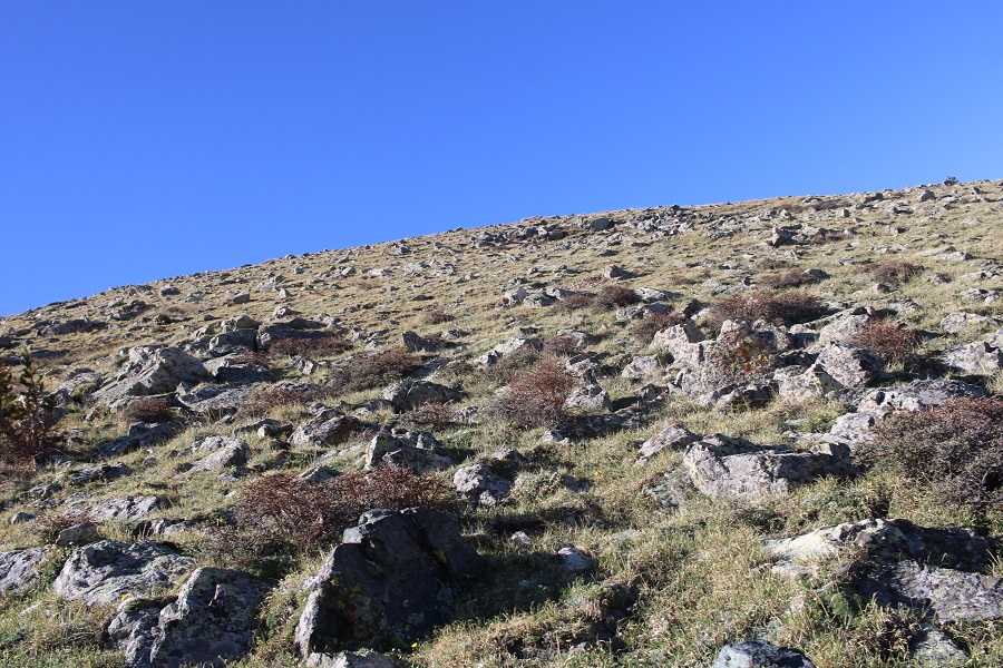
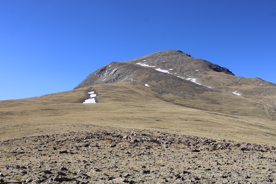
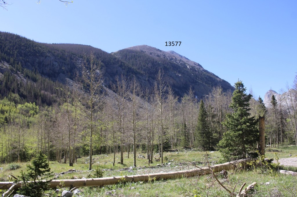
Quickly, 13577 came into view
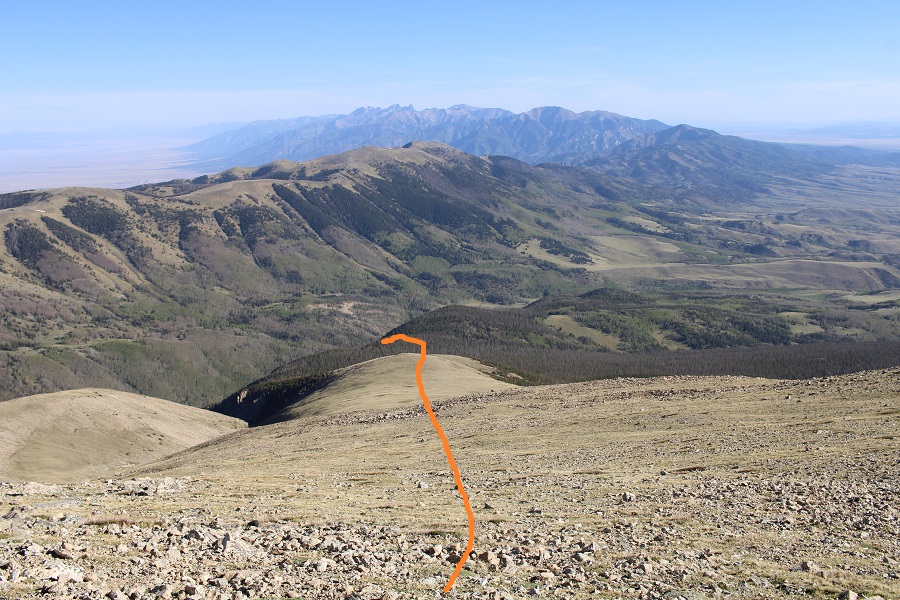
Here’s my route to the summit

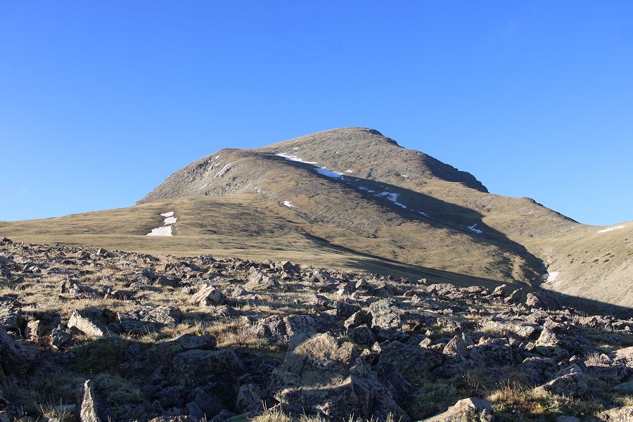
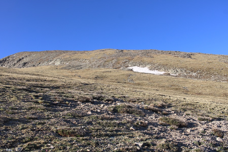
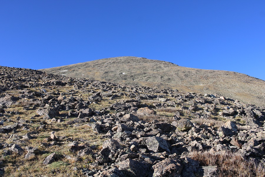
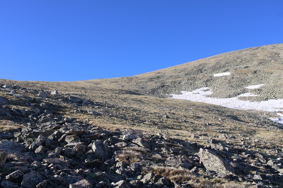
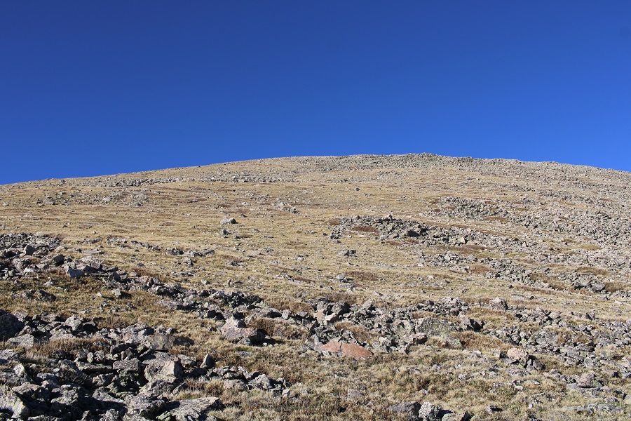
This was a simple, but long, tundra walk, with some rocks thrown in. The ridge was 1.5 miles from treeline to summit. Here are a few pictures of the route

I summited 13577 ay 7:45am
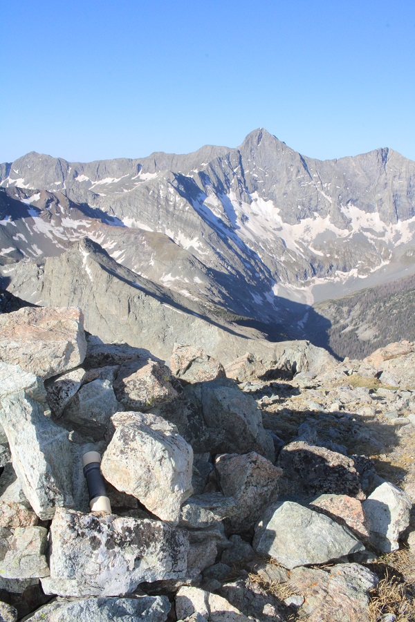
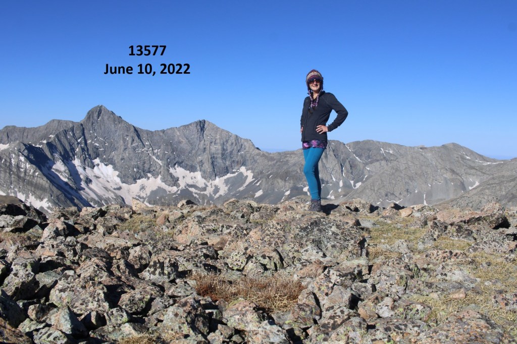
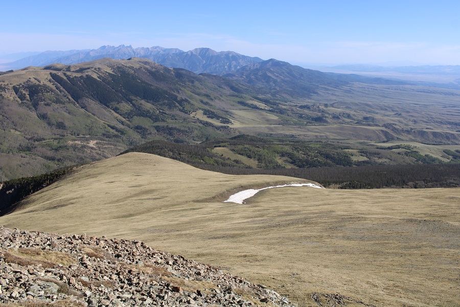
13577:
Check out the views of Lindsey

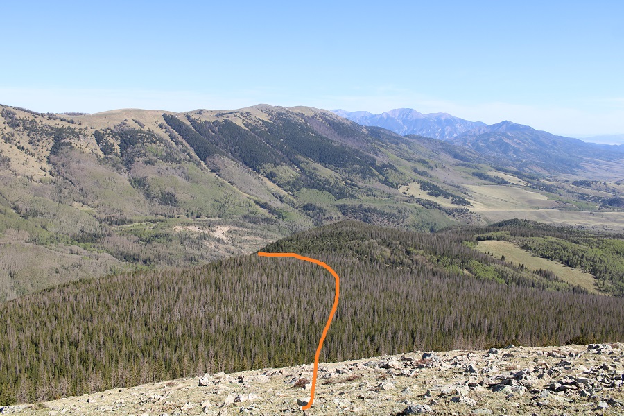
I turned and retraced my steps back to the trail

Here’s the overall route I took back to the trail

One in the trees it was difficult to navigate because I didn’t have any visuals. I continued heading north until I crossed the Raspberry Trail. There will be a lot of deadfall in this area.

Once back on Raspberry Trail, I followed it back to the 4WD road
I then followed the road back to my truck

This gave me a great view of PT 13577 from below
I made it back to my truck at 10am, making this an 8.88 mile hike with 3538’ of elevation gain in 5 hours. I’ll be staying at this trailhead…

