Sundog – 13,437

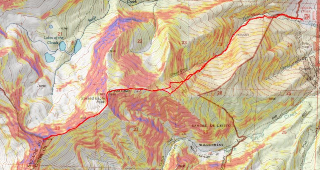
RT Length: 8.1 miles

Elevation Gain: 3219’

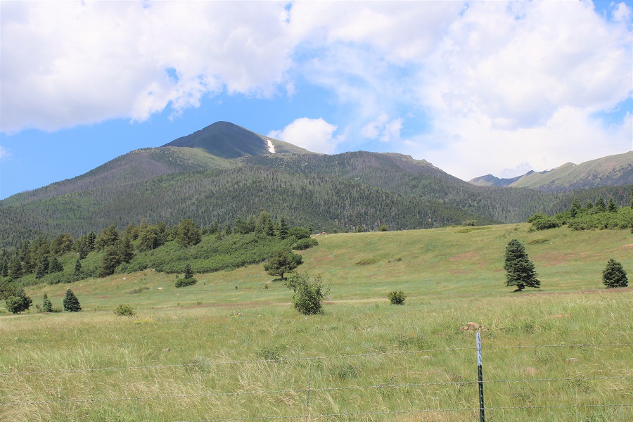
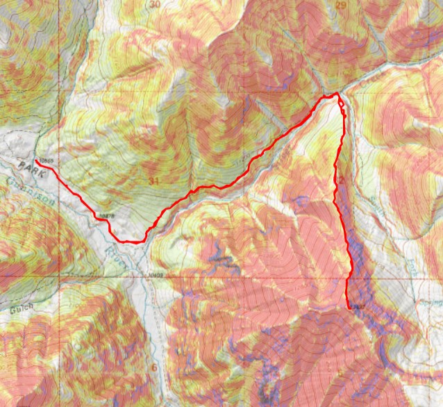
Normally you’d start this hike from the Silver Creek/Grizzly Gulch trailhead, the same one as used for Redcloud and Sunshine Peaks, but it’s Memorial Day weekend, and I knew that trailhead would be crowded.  Also, I’ve had porcupines visit me there in the middle of the night, interested in the wires underneath my truck.  Instead, I parked a little over half a mile further up the road, near Cooper Creek.  Not only did I have the site to myself, but I got to hear the creek rushing by as I slept. 

After an early night, I was still hesitant to get out of bed at 4:15am.  It took willpower, but I was on the trail by 4:30am.  As I passed the Silver Creek trailhead there were dozens of headlamps indicating busy activity.  I cruised by, and started up the trail.

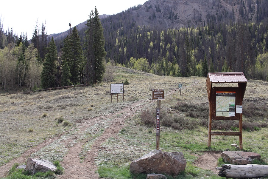
At the top of the hill was a trail register I need of repair: The top isn’t fastened to the base.  As per usual, I didn’t see the register on the way in, as it was off to the side and didn’t have anything reflective indicating it was there. 

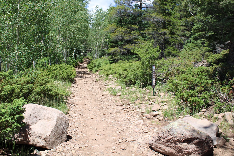
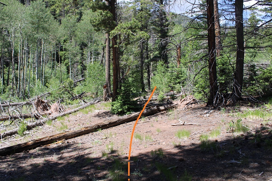
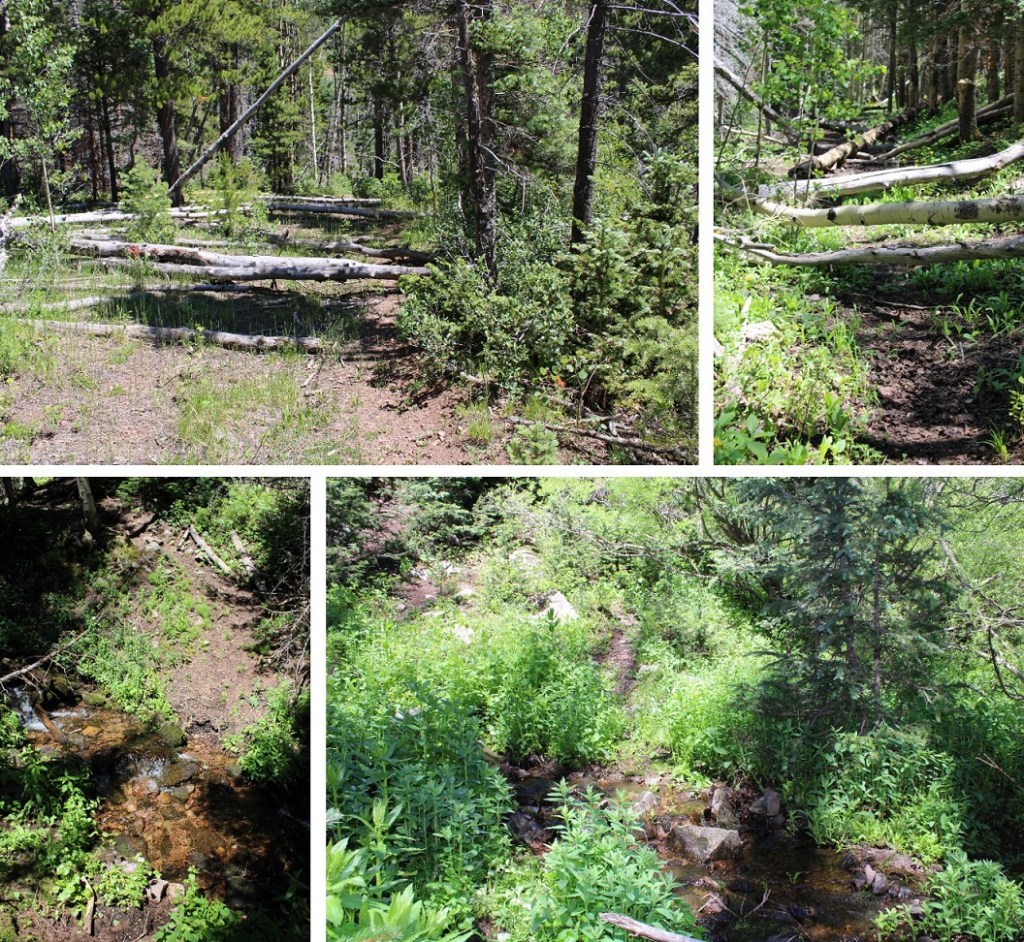
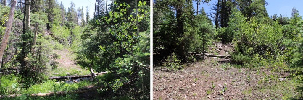
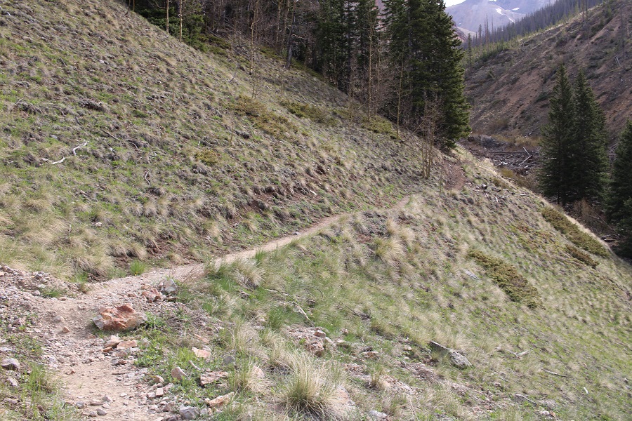
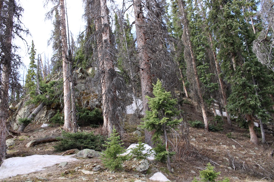
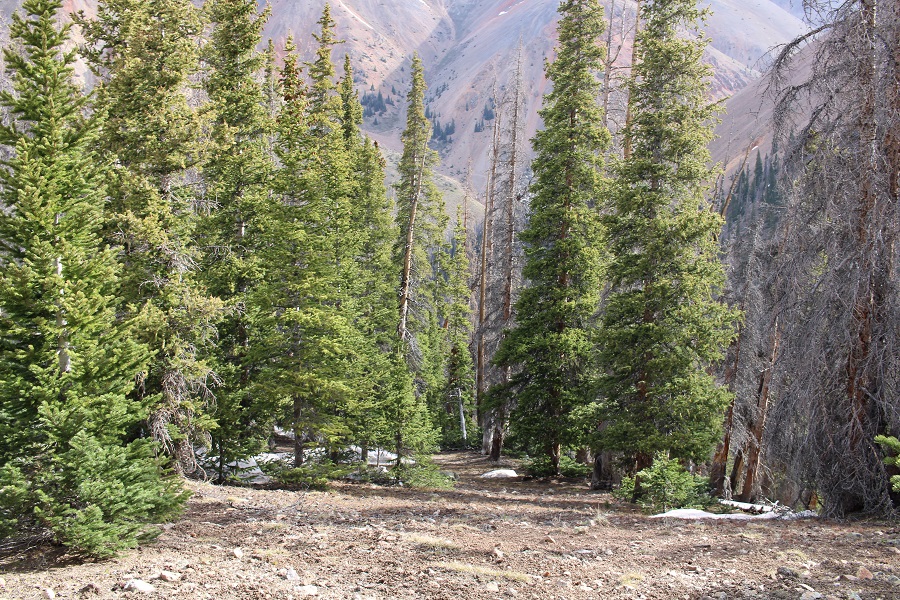
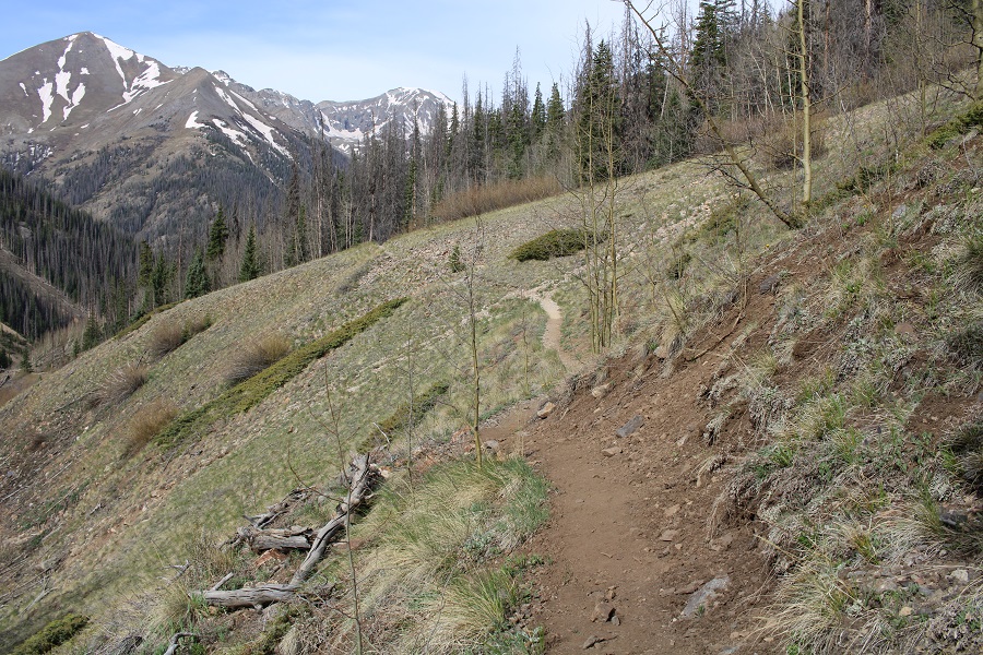
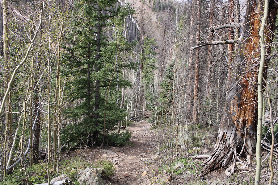
So, I didn’t sign the register, and instead followed the trail as it paralleled Silver Creek. The trail was very well maintained, with just a few downed trees here and there.

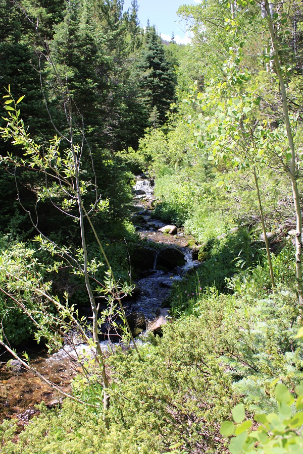
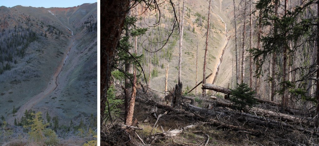
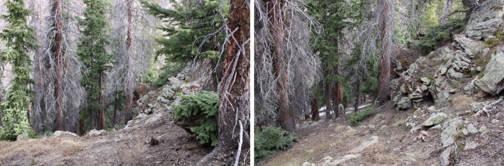
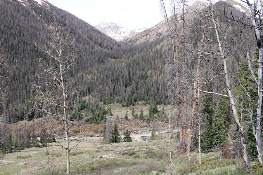
At around 11300’ of elevation, I left the trail to head down towards the creek.  I left the trail where an obvious, and massive, avalanche had occurred a few years earlier.  There was a faint trail closer to the creek.

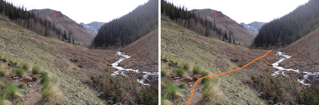
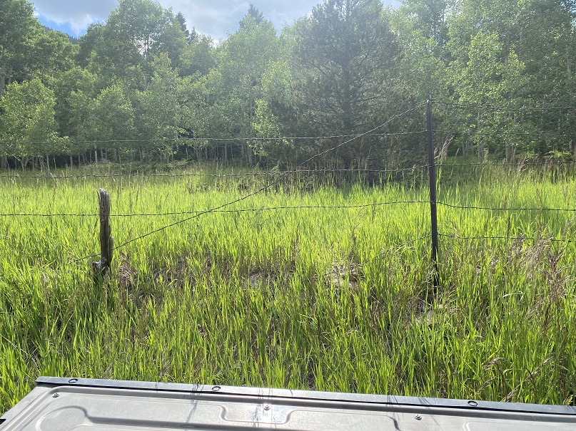
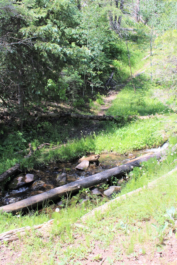
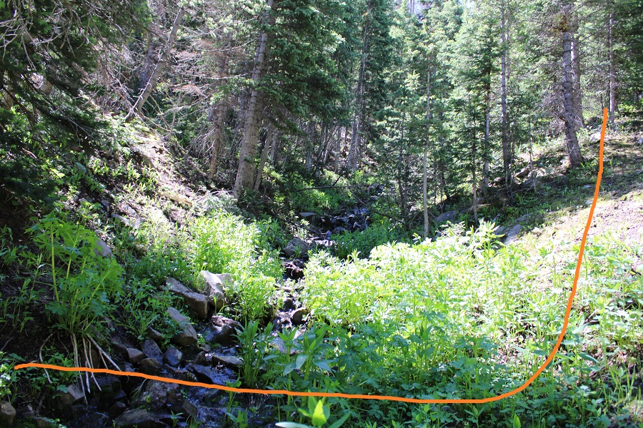
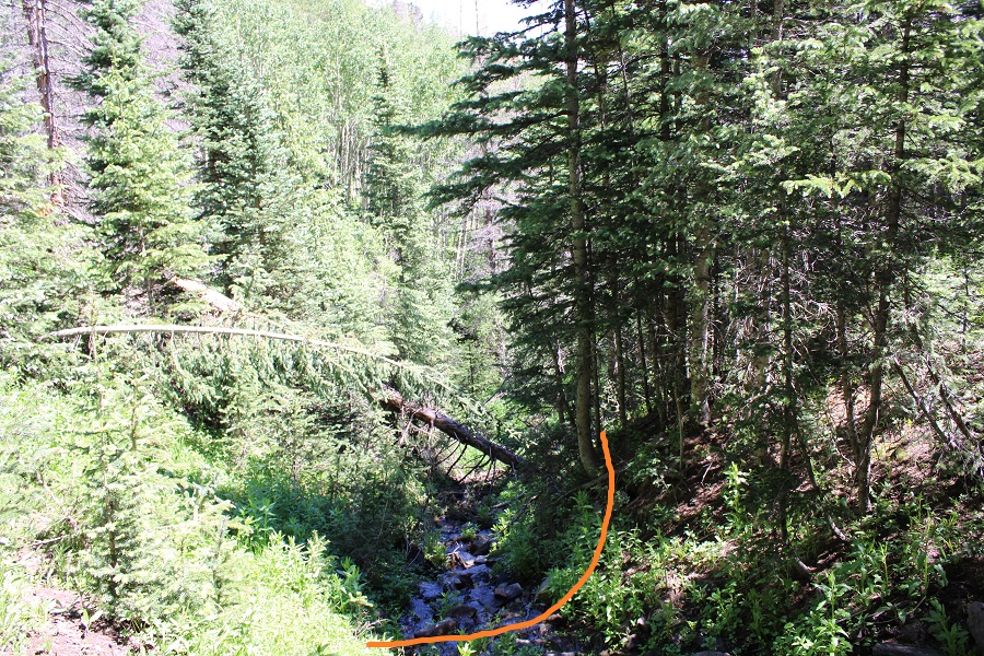
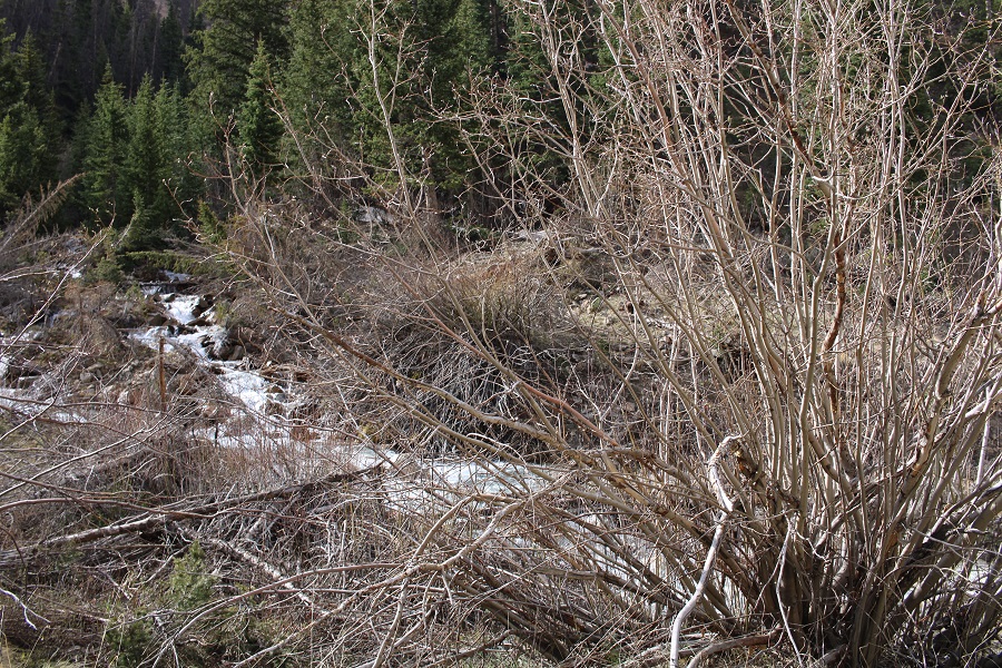
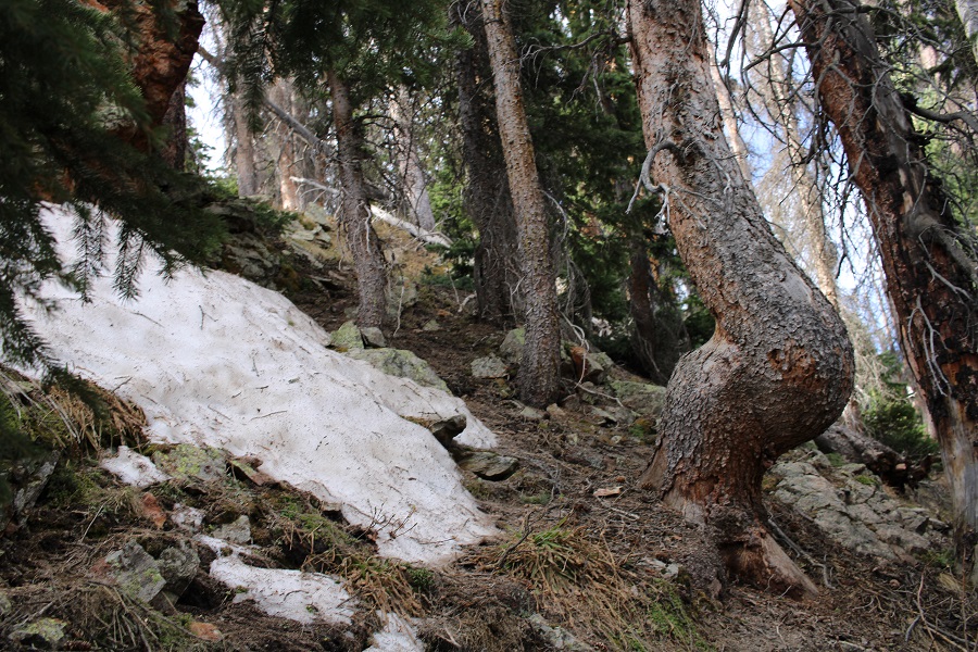
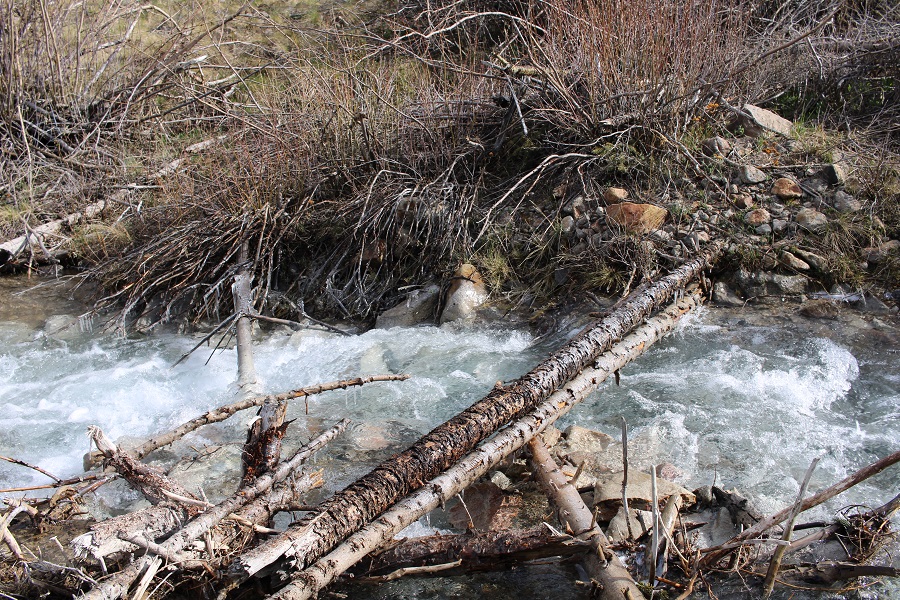
My goal was to cross the creek and head up Sundog’s north ridge.  I crossed the creek near some willows, on a few logs that seemed to have been placed for just that purpose.  On my way in, and on my way out, these logs were coated in ice, which made the crossing interesting.

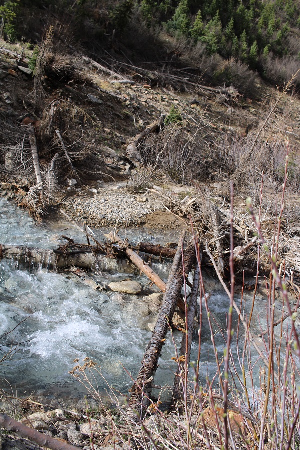
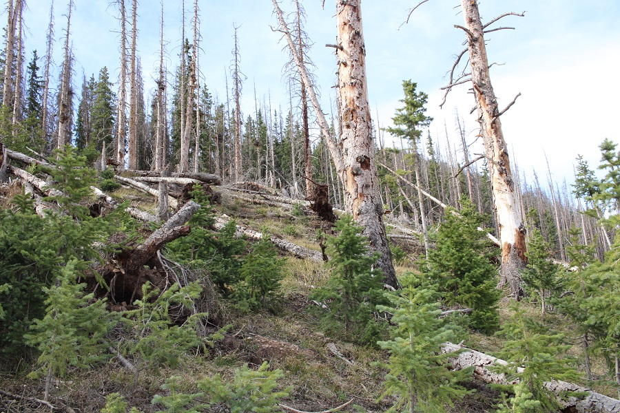
Safely across the creek, it was time to follow the ridge by heading south.  The ridge was easy to follow, but there was some initial avalanche debris to navigate. 

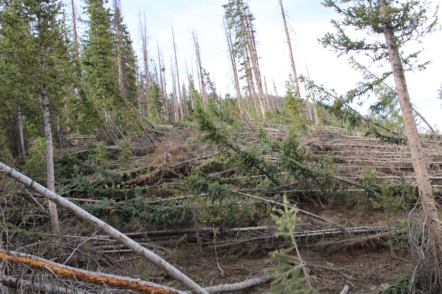
I noticed all the trees seemed to be leaning up, not down, which I thought was odd, until I looked behind me.  It was obvious a large avalanche had occurred on the opposite mountain, which crossed the creek, and knocked over trees several hundred feet up the ridge I was now on. 

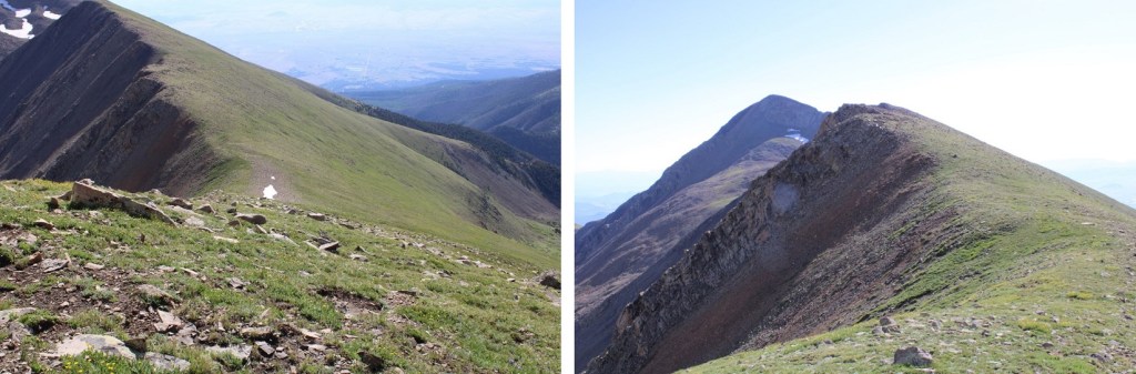
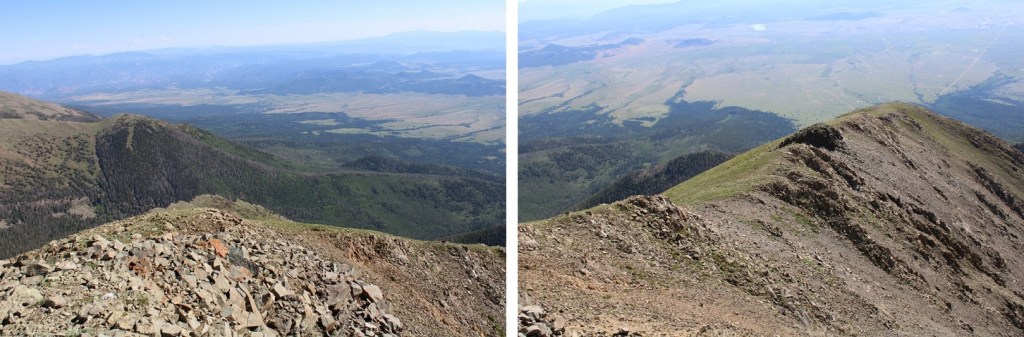
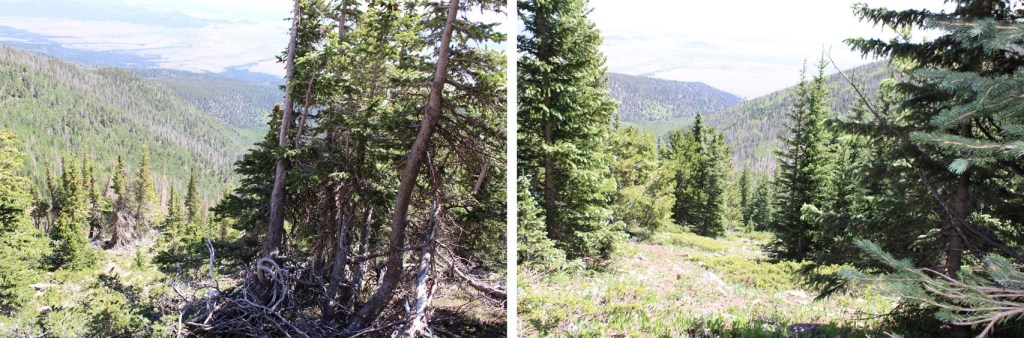
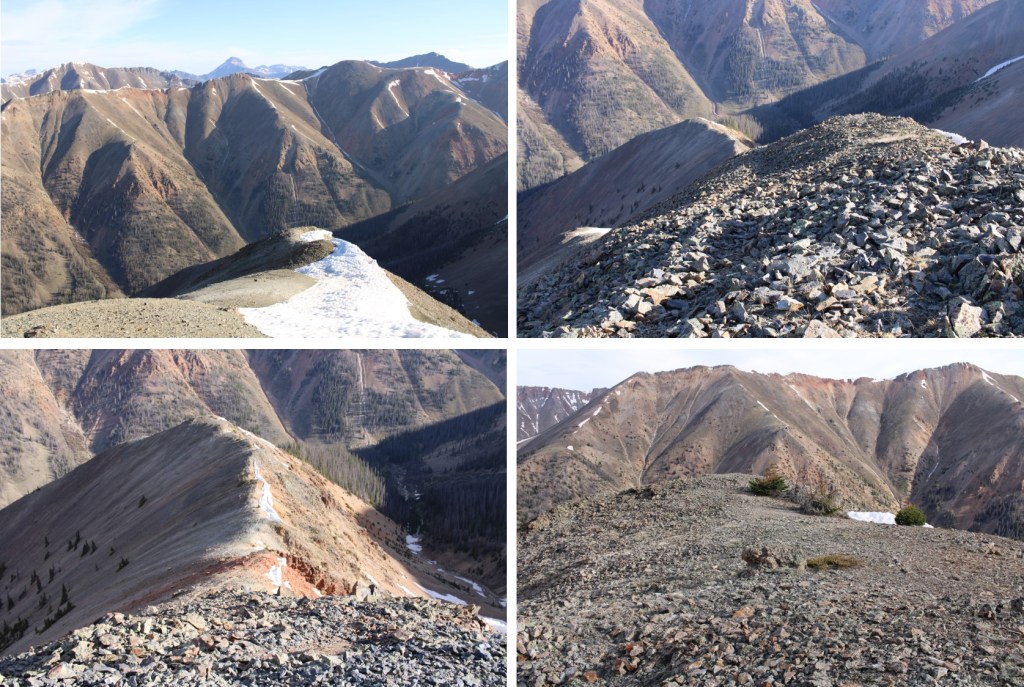
I continued following the ridge to treeline.

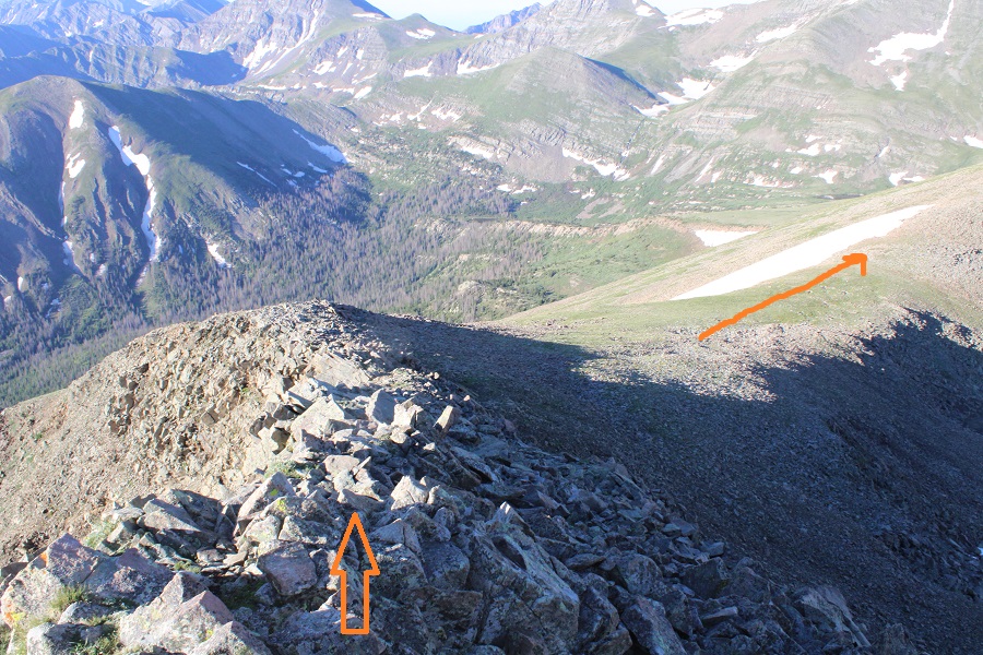
Just before treeline I came to an outcropping, which I maneuvered by going to the right, staying at its base. 

Now at treeline, I continued to follow the ridge

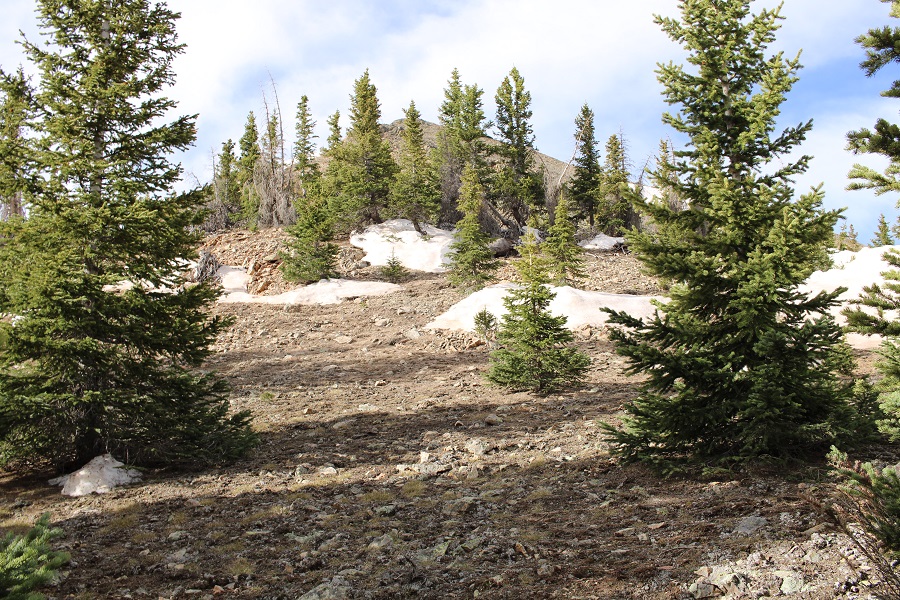
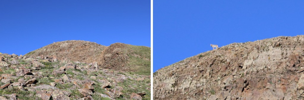
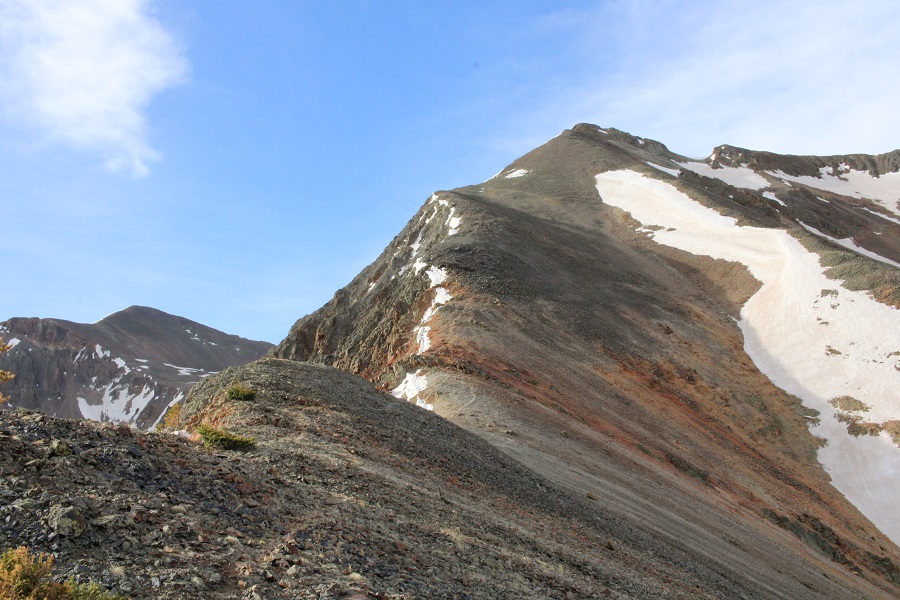
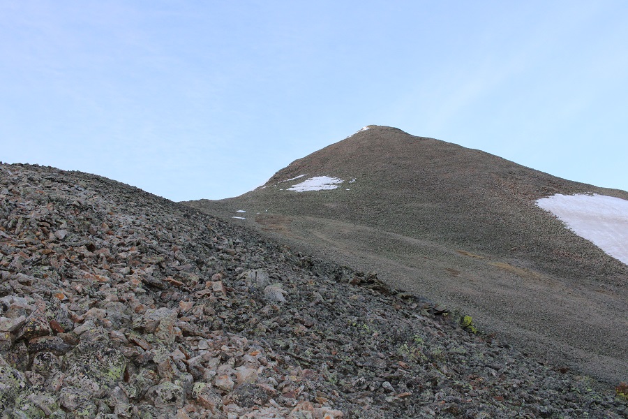
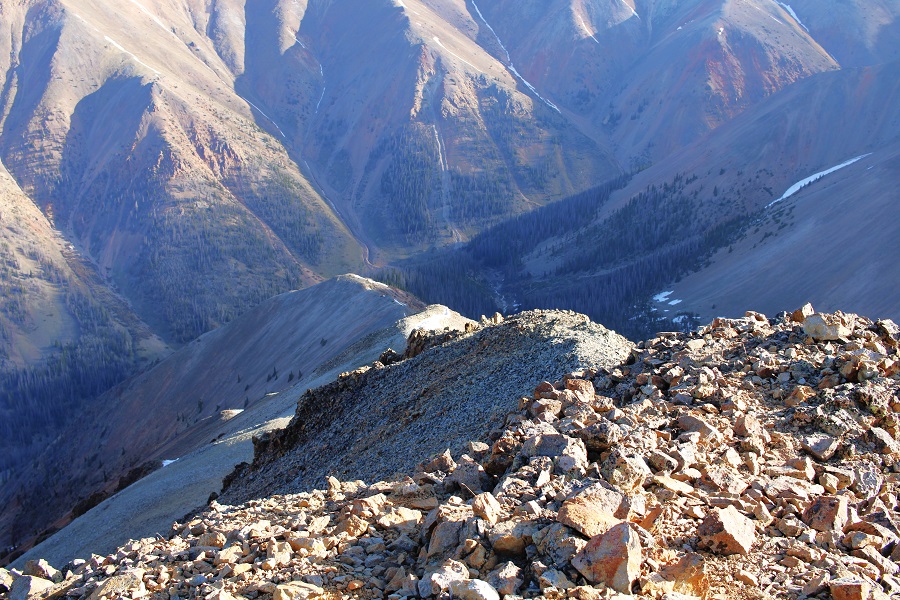
As soon as the talus and scree started, it didn’t quit.  There were a lot of game trails all the way to the summit, none of which were consistent. 

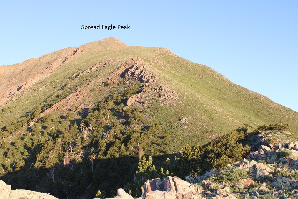
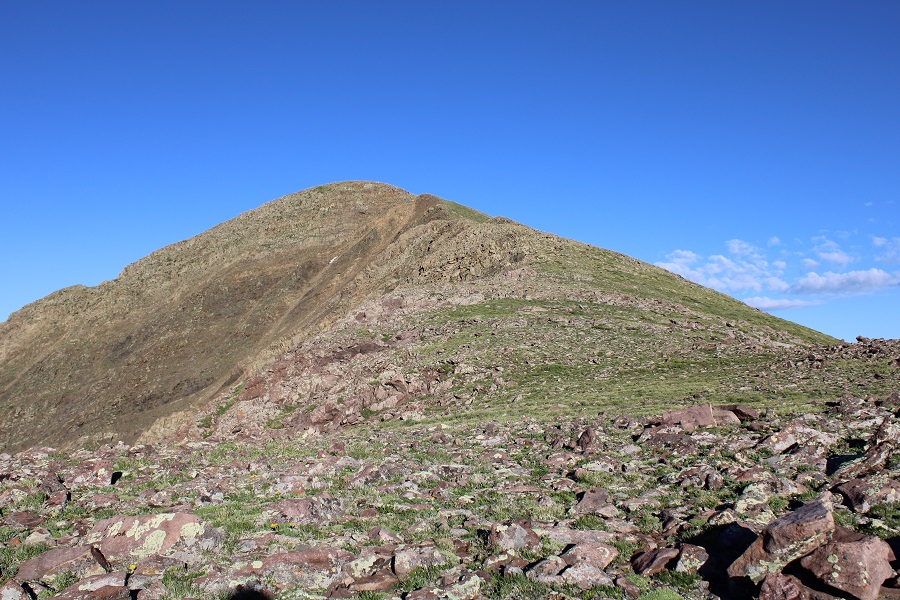
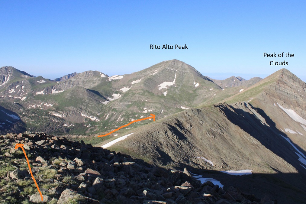
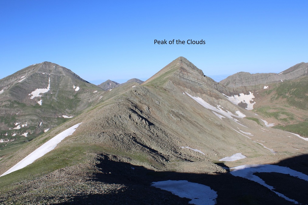
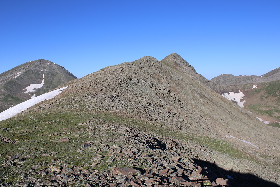
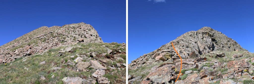
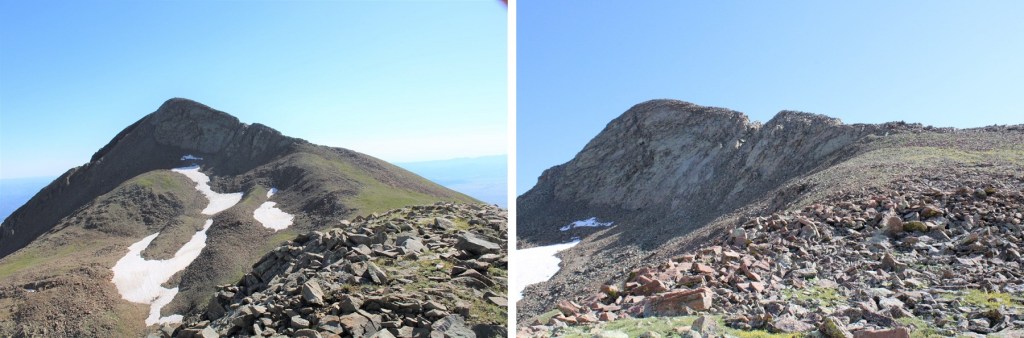
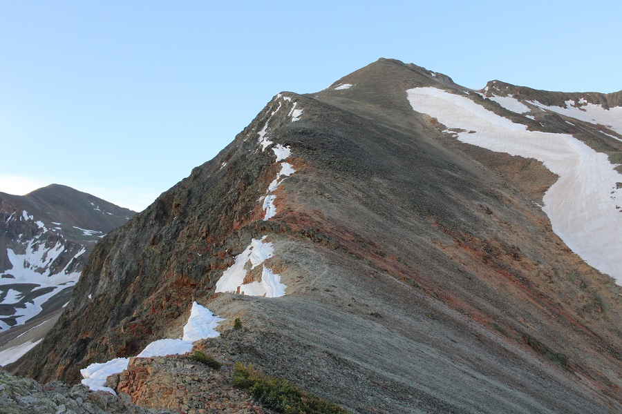
Now is a good time to note the false summit

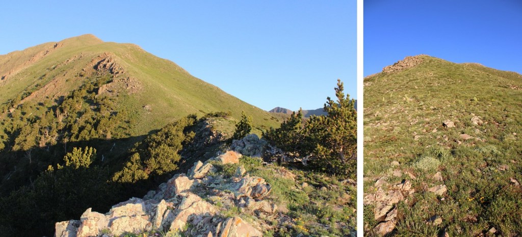
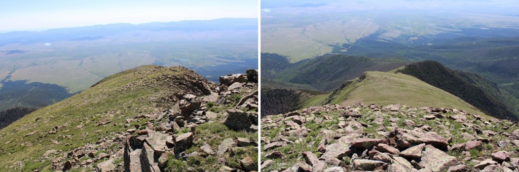
I followed the ridge to the summit. The ridge was straightforward, the only surprise coming at the end.

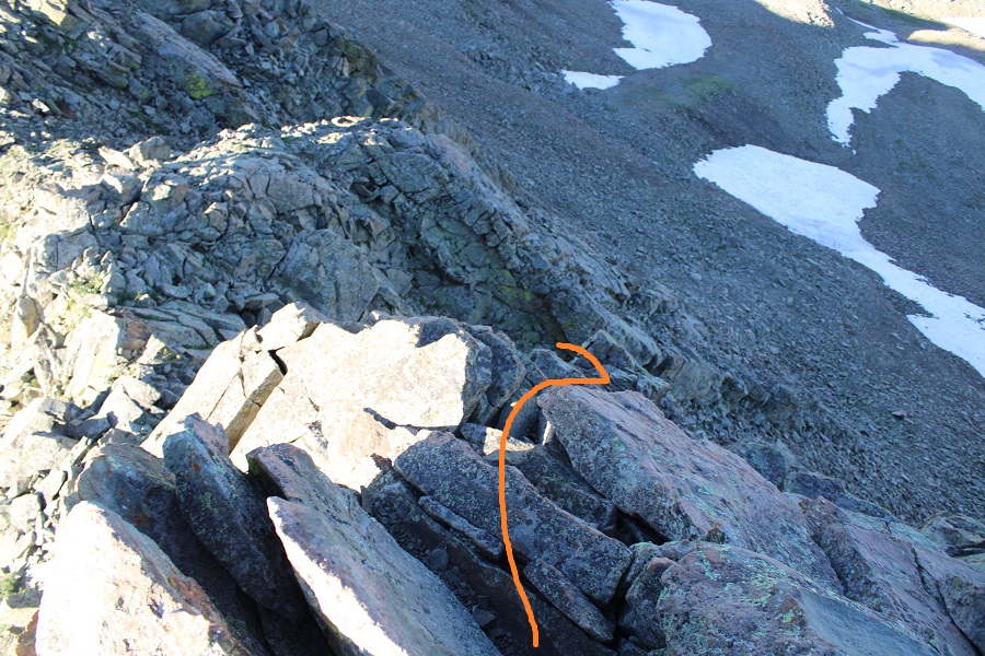
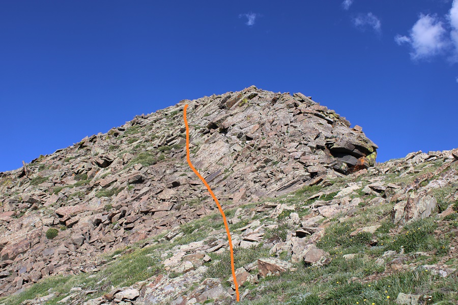
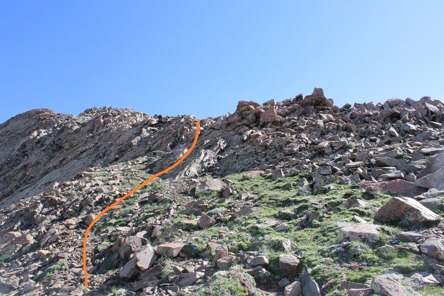
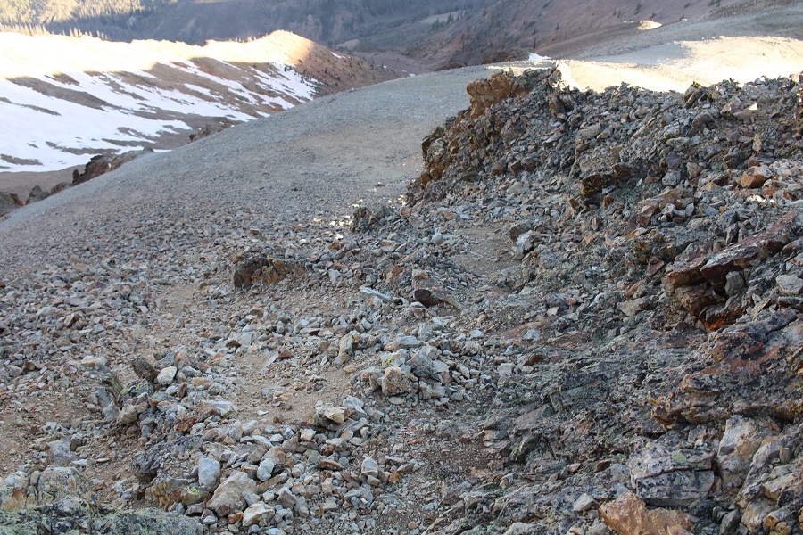
Just before the summit, I climbed up a class 2+ gully.  The rocks were loose, and microspikes helped.  I left behind my trekking pole and started climbing up.

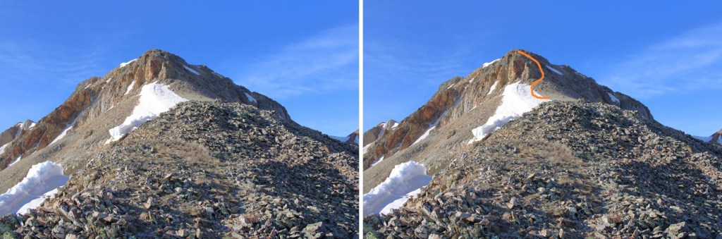
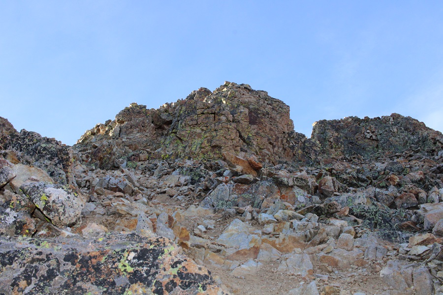
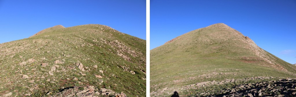
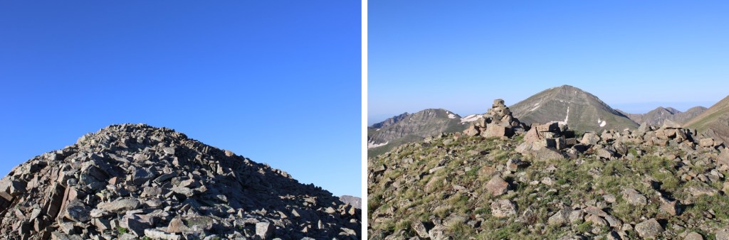
At the top of the gully was more ridge (this is a false summit)

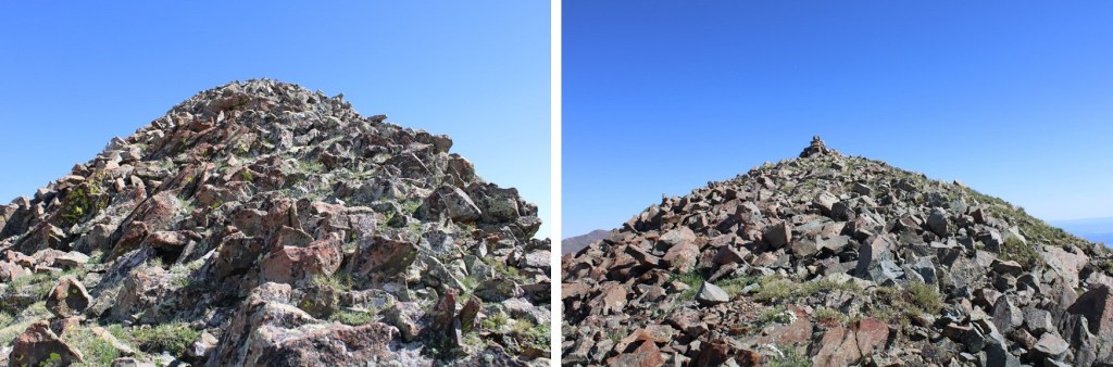
That led to the real summit

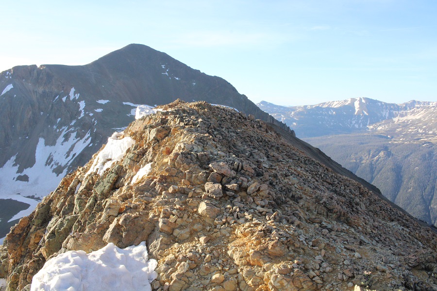
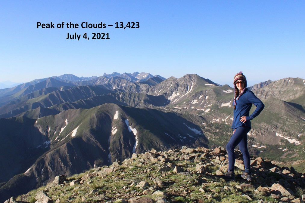
I summited Sundog at 7:15am
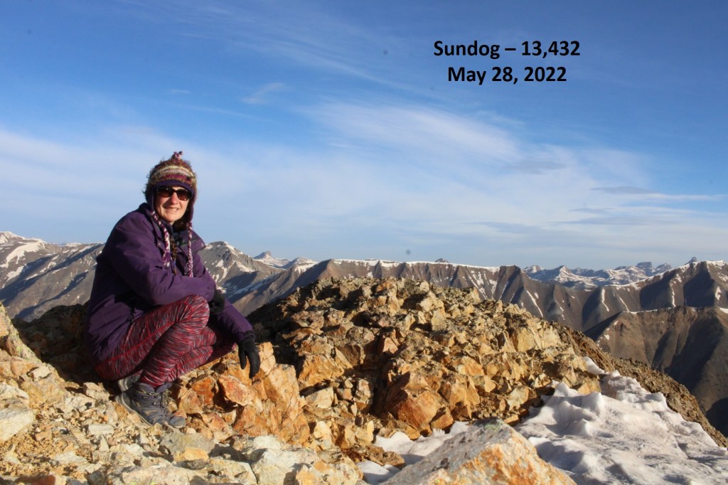
Sundog: 

And now to head back.  It was a nice day, but windy, so I didn’t stay too long on the summit.  I turned and headed back the way I’d came:

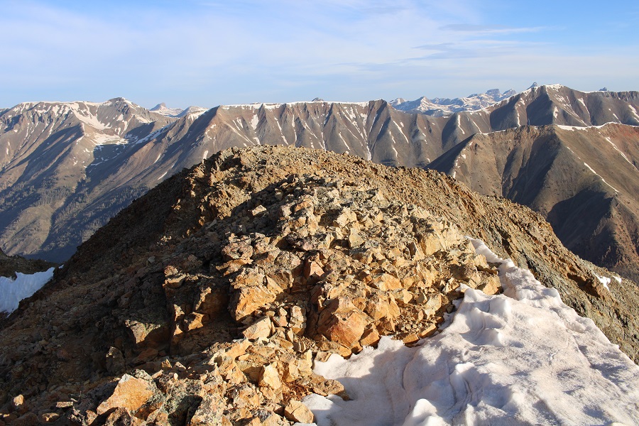
It was a long ridge!

The scree filled gully was easier to navigate on the way down

Then I followed the ridge to treeline

Once at treeline, I continued to follow the ridge, aiming for the avalanche runout, and Silver Creek below

I went left this time around the rock formation

And navigated the avalanche debris to the creek

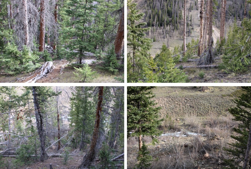
I crossed the creek on the same logs, interested to find they were still covered in a layer of ice. 

I easily picked up the trail on the other side, and followed it back to the trailhead.

I then walked up the road to my truck, parked about half a mile away.  I made it back to my truck at 9:30am, making this a 8.1 mile hike with 3219’ of elevation gain in 5 hours.

Oh, and I found a stash of 8 track tapes near an old, abandoned mine. I wonder if they’re still good?

On to the next trailhead!

Spread Eagle Peak – 13,423 and Peak of the Clouds – 13,524

RT Length:  11.05 miles

Elevation Gain:  5461’

This was my 4th attempt at Peak of the Clouds.  Not because it’s a difficult peak, but because every time I was in the area I was thwarted by the elements; snow conditions, or a fast-moving storm coming in.  Today had a great weather forecast, so I figured today was my day.

Unlike my previous stays at the Gibson Creek trailhead, this time it was packed.  Probably because it was a Saturday over 4th of July weekend.  There were RVs set up everywhere, and every parking space in the lot was taken.  Knowing I was going to spend the night in my truck I just waited for someone to leave and then backed into their spot. 

I was sitting at the trailhead, just appreciating the sounds of the birds chirping and insects humming, and then the sun comes out and lights up each individual blade of grass and all I can think is how lucky I am this is my life.  It was a perfect night, and the last one I’d be spending in this particular vehicle, as my new truck was waiting for me at the lot and I was picking it up Monday.  I wanted to enjoy tonight.

I’d been gone for a few days, and I also wanted to get back home to see my kids, so I made it an early morning.  I was on the trail at 3:45am.  The trail starts at the north end of the parking area, and follows trail 1456 west.

The trail starts out nicely defined.  Stay straight at the Rainbow Trail Crossing.  This sign has been broken for years.  I wonder if they’ll ever replace/fix it?

Here’s where it gets tricky.  After hiking for .4 miles, and at 9400’, leave the trail and cross Gibson Creek.  It looks like there used to be a good trail here at one time, but it’s no longer well defined.  In fact, someone placed a tree trunk over the way you’re supposed to go.

After crossing Gibson Creek, the trail picks up again. 

The trail goes through various conditions, from being well-defined, to being covered with downed trees, to barely being a trail at all.  It also crosses Gibson Creek several times. 

The main thing is to just keep following Gibson Creek west/southwest

I followed the trail for about 2 miles, to when the trail abruptly ended where a tree had fallen over the trail.  Here I crossed the creek one last time, and bushwhacked southwest, up the mountain.  It’s important to note here something the topo map doesn’t show:  Apparently, somewhere Gibson Creek was to my right, but a much larger creek was to my left (this creek is not shown on the topo map, and could just be an error in CalTopo, as the creek was always to the south of me, but on the map it’s shown as being north).  Gibson Creek pretty much fizzled out here, so keep the creek you can see to your left as you ascend the hillside. 

This is a steep hillside with some bushwhacking involved.  It seemed to go on forever.  I took a different way down than I did up, and I’d recommend taking the way I went up, directly aiming southwest towards the ridge, as it avoids the large section of willows to the northwest. 

I made it to the ridge as the sun was coming up

Once on the ridge, it’s a straightforward, class 2 ridge hike to the summit.

Here are some step-by-step pictures of the ridge

As I was nearing the summit, I looked towards the summit and thought I saw a bighorn sheep.  When I looked again I realized it was a coyote:  the biggest coyote I’ve ever seen!  He was chillin’ on the summit.

I summited Spread Eagle Peak at 7:15am.  The coyote was nowhere to be seen.

Spread Eagle Peak: 

It was an absolutely beautiful day!  I headed south, down the ridge to the Spread Eagle/Peak of the Clouds saddle.

This was a straightforward trek, with just one short class 3 move.  I stayed right and downclimbed this section.

Then followed the ridge to the saddle

It was a simple, class 2 ridge hike to the summit of Peak of the Clouds

Here are some step-by-step pictures

Here I saw some elk (they didn’t stay long)

Looking up at the ridge to Peak of the Clouds

As I was hiking up, a marmot rushed down past me.  I wonder where he was going?

The last part of the ridge was rocky.  I stayed to the left.

I summited Peak of the Cloud at 8:20am

Peak of the Clouds:

Here’s a look at the ridge to Rito Alto Peak (in case anyone is looking to do that one as well)

I sat for a minute and enjoyed my time on the summit.  It was a beautiful 4th of July in the Sangres!

I was making this an out and back trip today, so I turned and looked back at Spread Eagle Peak

Here are some step-by-step pictures back to the saddle

This is how I accessed the ridge

And then followed the ridge north

The short class 3 section was easier to upclimb than downclimb.

Then it was an easy ridge hike to the summit

I turned and headed east down the ridge, back to treeline.  I saw elk here as well.

Once near treeline I headed back toward Gibson Creek, but as I said before, I encountered a lot of willows and it was slow going.  I’d recommend following the ridge as it slopes up a bit and becomes treed, and then heading northeast.

Yes, there’s bushwhacking and route finding involved.

I made it back to the creek, and followed the trail back as it curved northeast towards the trailhead

I crossed Gibson Creek one last time, and was back on the well-marked trail.

I made it back to my truck at 11:45am, making this an 11.05 mile hike with 5461’ of elevation gain in 8 hours.  Now, time to drive home, wake up my daughters, and grill some steak!