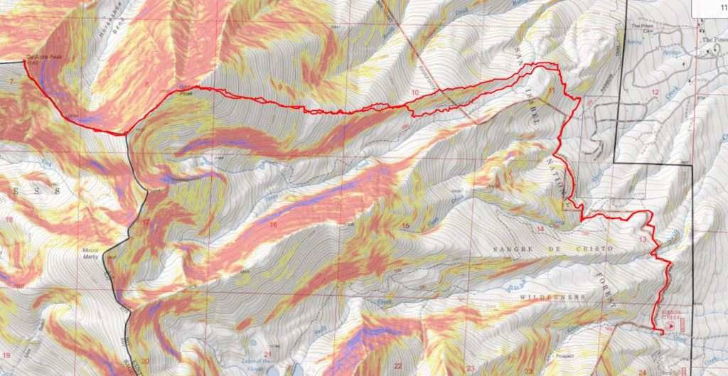
RT Length: 20.02 miles
Elevation Gain: 7343’
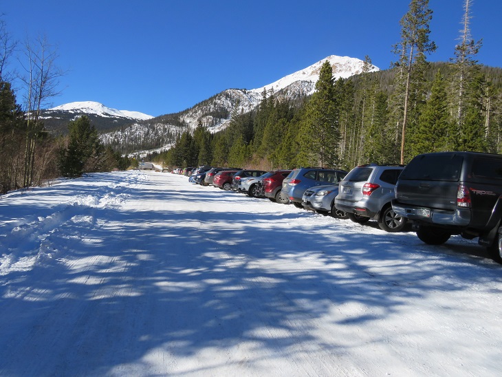
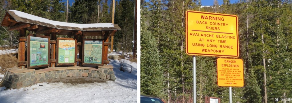
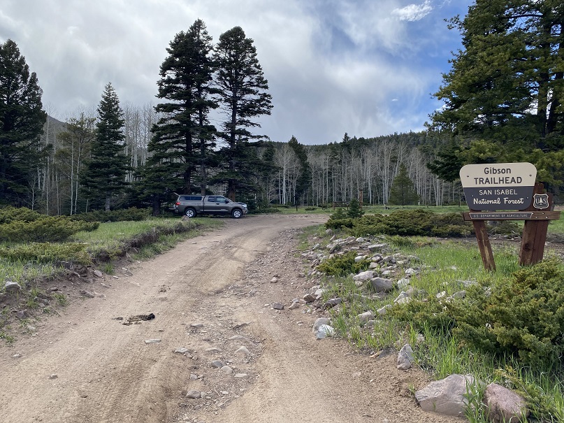
I drove to the Gibson Creek trailhead the night before, concerned I wasn’t going to get a spot to park on Memorial Day weekend. Imagine my surprise when I was the only one there. Two more vehicles would join me later, but I was genuinely amazed the trailhead wasn’t more crowded: there’s great dispersed camping here.
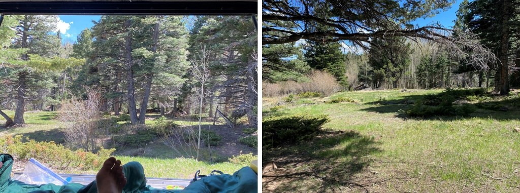
Bonus: no mosquitoes! I spent the next few hours relaxing, making dinner, sipping whiskey, and reading, before making it an early night.
(It was, in fact, a long night, full of nightmares. I’ll spare you the details, but let’s just say they involved frantic mothers holding their decapitated babies, pleading for help and saying there was a horrible accident, and a demon that took over the body of a frail child: the demon needed to die, but doing so hurt the child. Not fun when you’re camping all alone. I woke up around 2am and knew if I went back to bed my nightmare would continue, so I tried to think about other, happier things before starting out on my hike in the dark. What’s happier you ask? I have 3 kids. I told myself when I got a divorce in 2012 I wasn’t going to date seriously until my youngest was 18 and had graduated High School. Well, she graduated this week, and is off to college, so I spent the next hour trying not to think about the nightmare I’d just had, and instead thinking about what I was going to do about dating, whether or not I really want to at this point, and realized I haven’t ‘dated’ since the 90s, and it’s certainly changed. It’s weird to be 40 years old and an empty nester. So, how y’all dating now?)
But I digress. Knowing it was going to be a long day, I was on the trail at 3am.
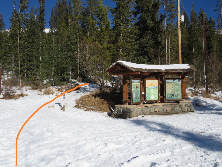
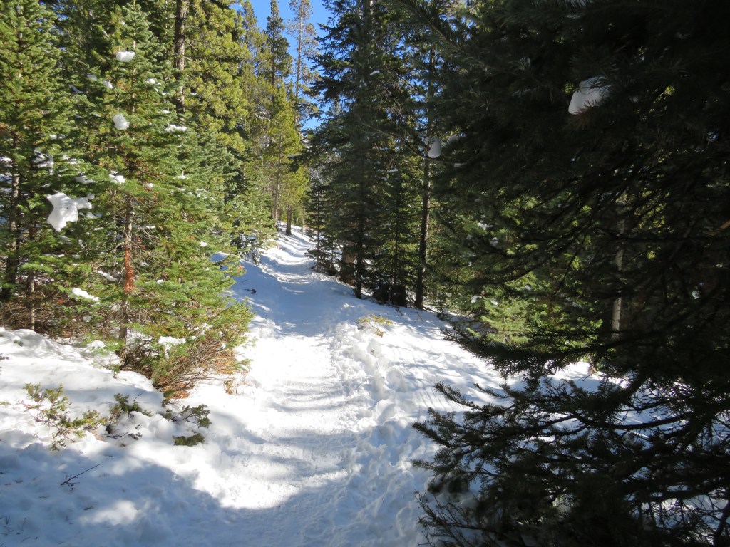
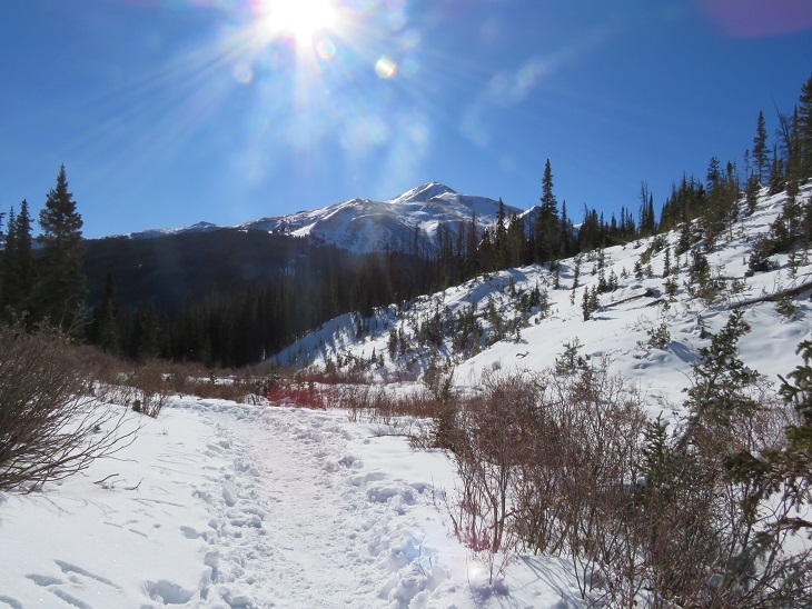
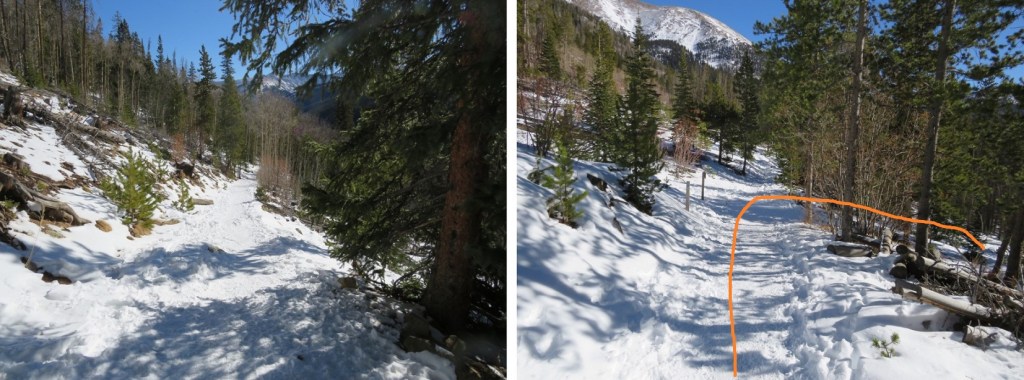
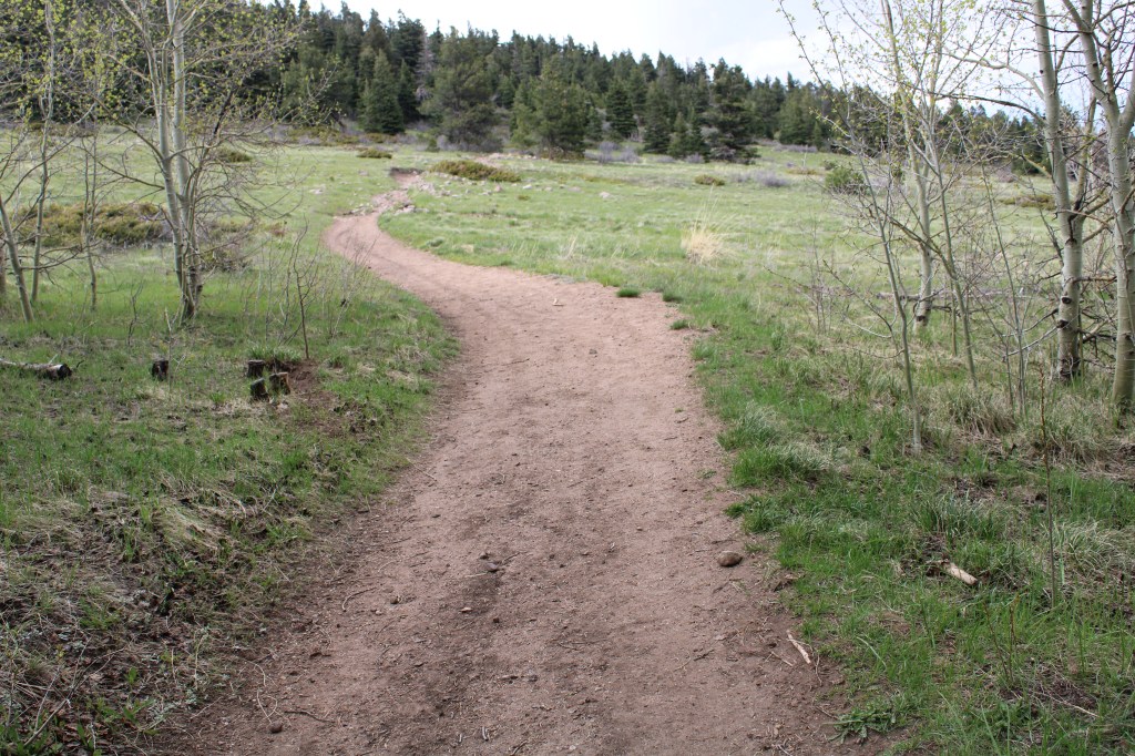
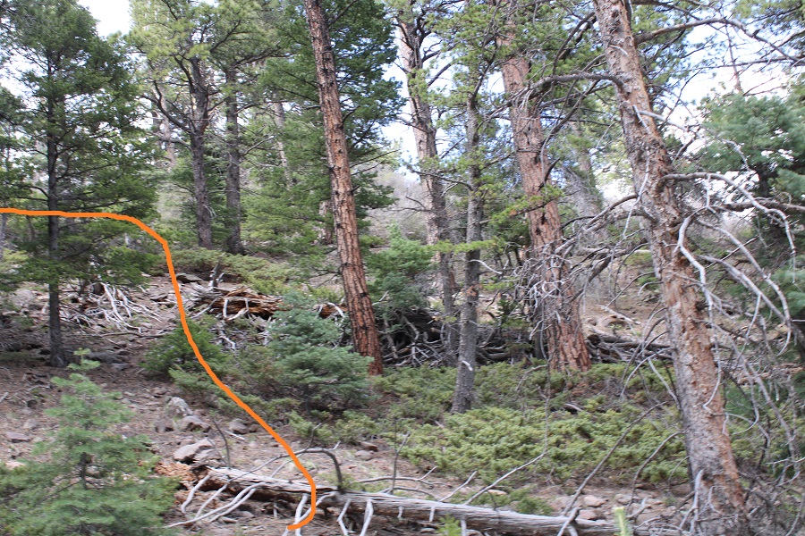
The trail starts at the north end of the parking area, and heads west for .1 miles before turning right and following Rainbow Trail 1336 north.


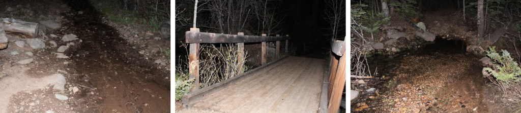
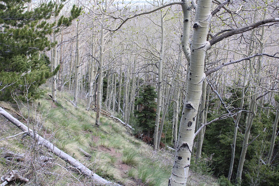
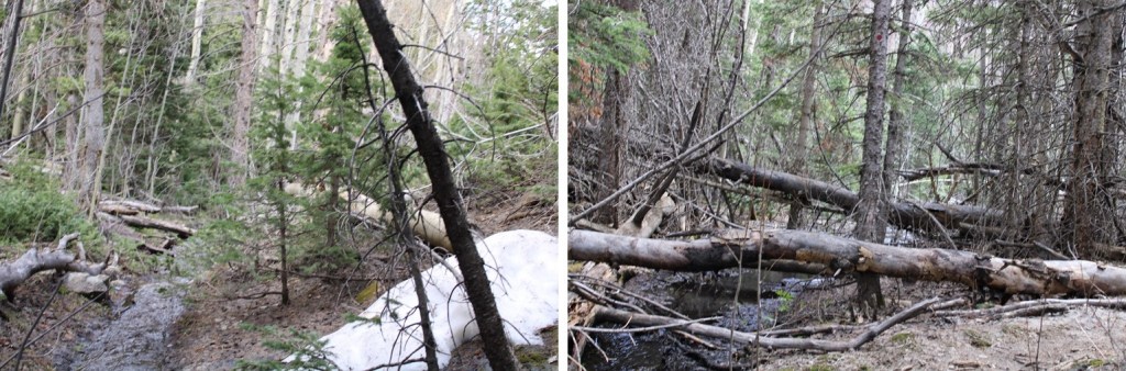
I followed Rainbow Trail as it wound around the east side of the mountain for 3.25 miles, crossing several creeks along the way. One creek crossing even had two bridges to make the crossing easier (the other areas had shallow enough water where bridges weren’t necessary). There was about a mile of the trail deep in spring conditions, with runoff covering the trail.
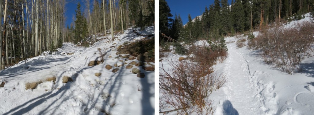
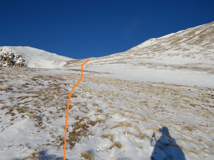
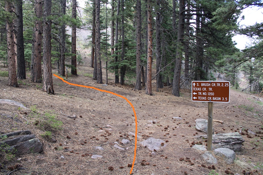
After 3.25 miles I came to a junction, and took Trail No. 1350 left (west) towards Texas Creek Basin. This is where my flashlight went out and I was glad the sun was starting to rise.
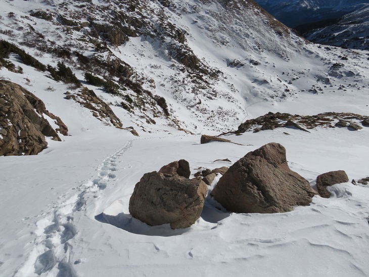
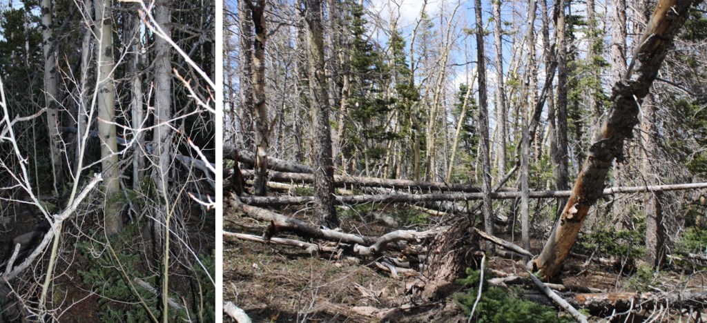
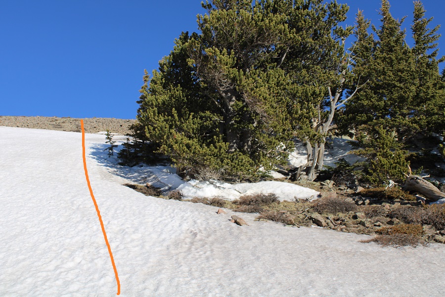
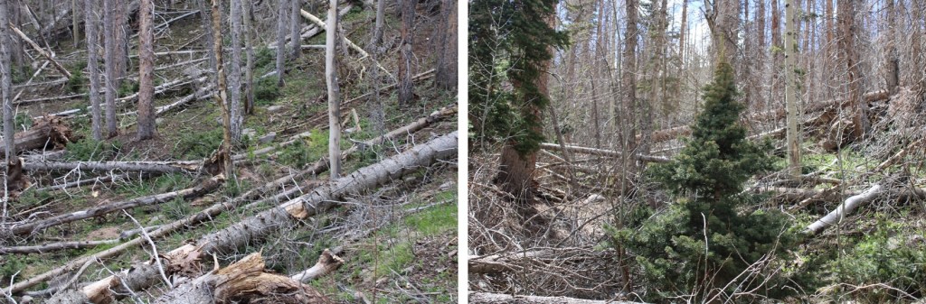
Note: Trail 1350 is not a maintained trail. I was hiking it in the dark at this point, and there were so many downed trees I kept getting off route trying to go around them (going over them wasn’t always practical). It wasn’t much better in the daylight. I decided to gain the ridge as quickly as I could, and follow it west to treeline.
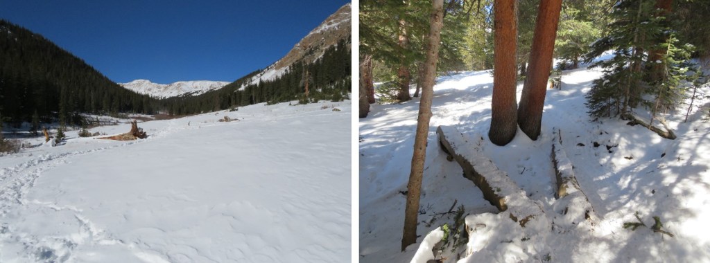
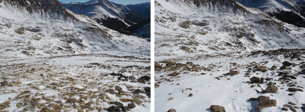
It took me 2.75 miles, and 2000’ of elevation gain to make it to treeline. It was here I experienced the worst and most extensive bushwhacking I’ve ever encountered. It was like hiking up through avalanche debris (although it was obvious the wind had knocked the trees down). The ridge was either dense with new growth, or a jungle gym of downed trees. I would not recommend this route, and I told myself I’d take Texas Creek on the way down (note: I later realized I would not recommend the Texas Creek route either). There was a small but raging creek to ford early on, and then it was straight up the ridge.
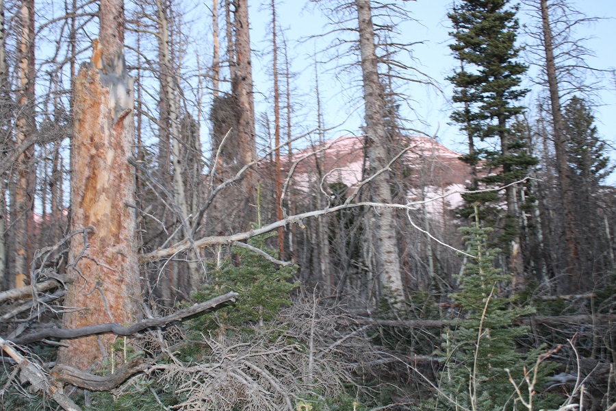
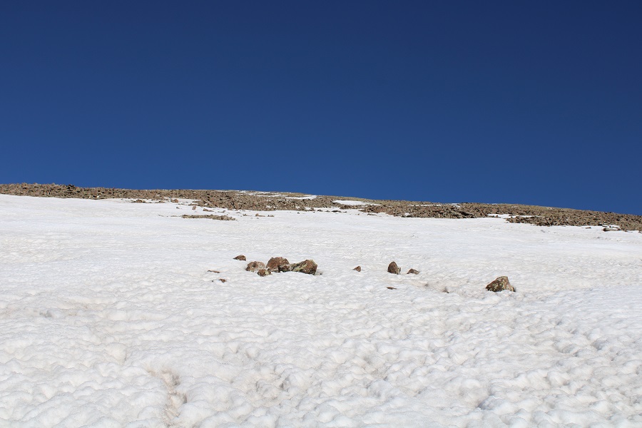
After hiking for a total of 6.75 miles I came upon 100 yards of mashed potato snow. I strapped on my snowshoes and kept heading west towards treeline. The snow kept starting and stopping again. On my way up I kept my snowshoes on. On my way down I misremembered how long the snow section was and kept taking the snowshoes off, just to need them again.

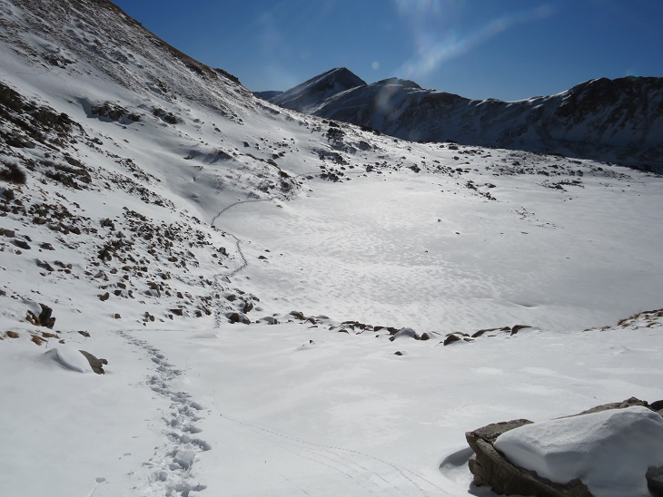
Once at treeline there was a small amount of snow to navigate, and then I was able to avoid most of the snow to the summit.
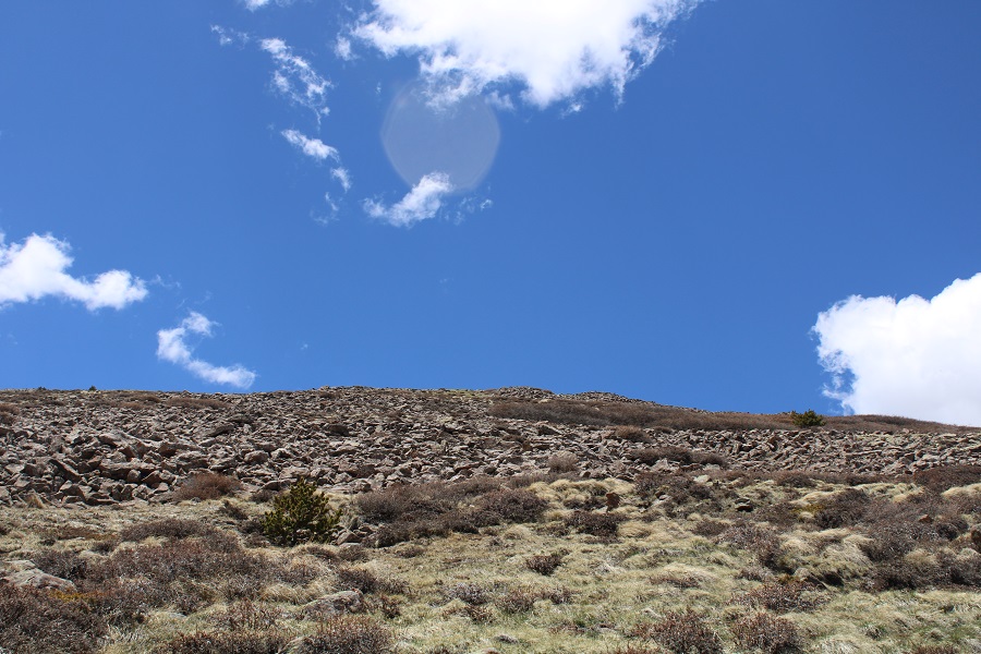
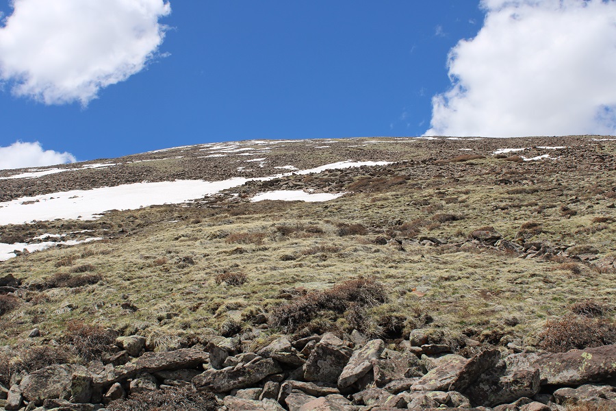
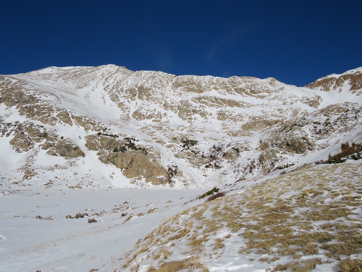
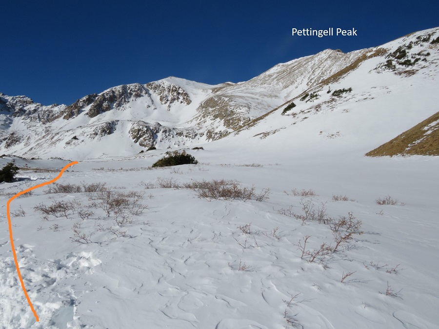
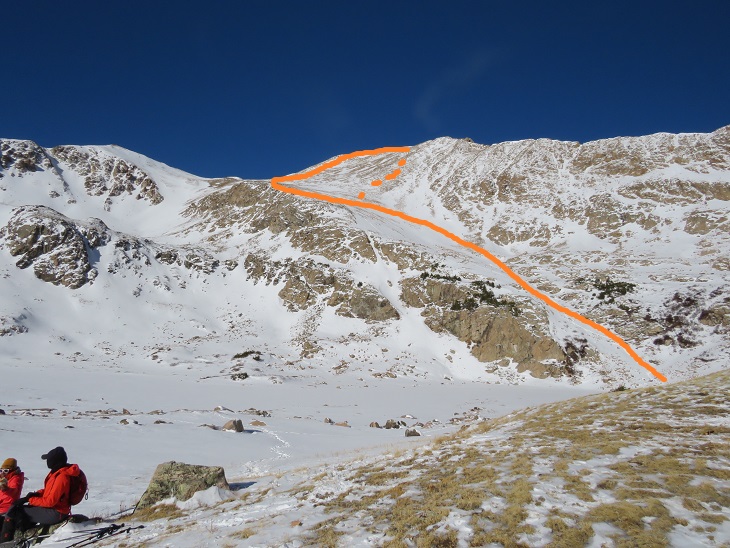
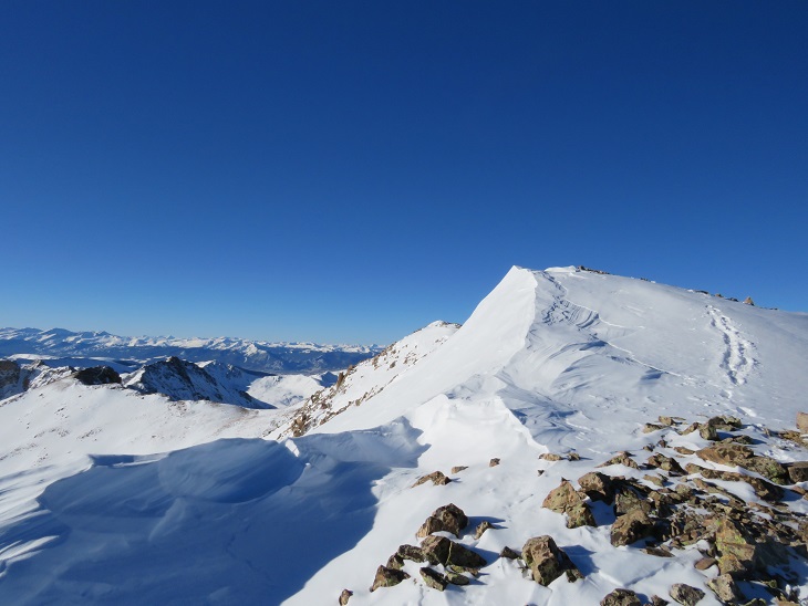
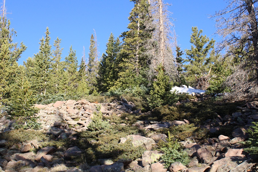
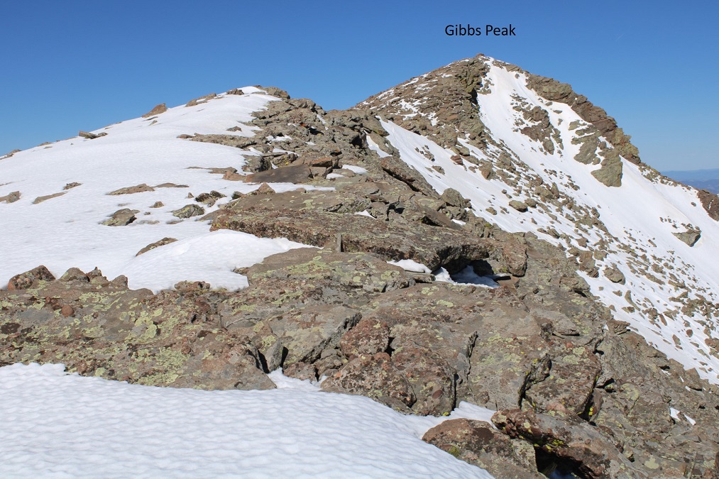
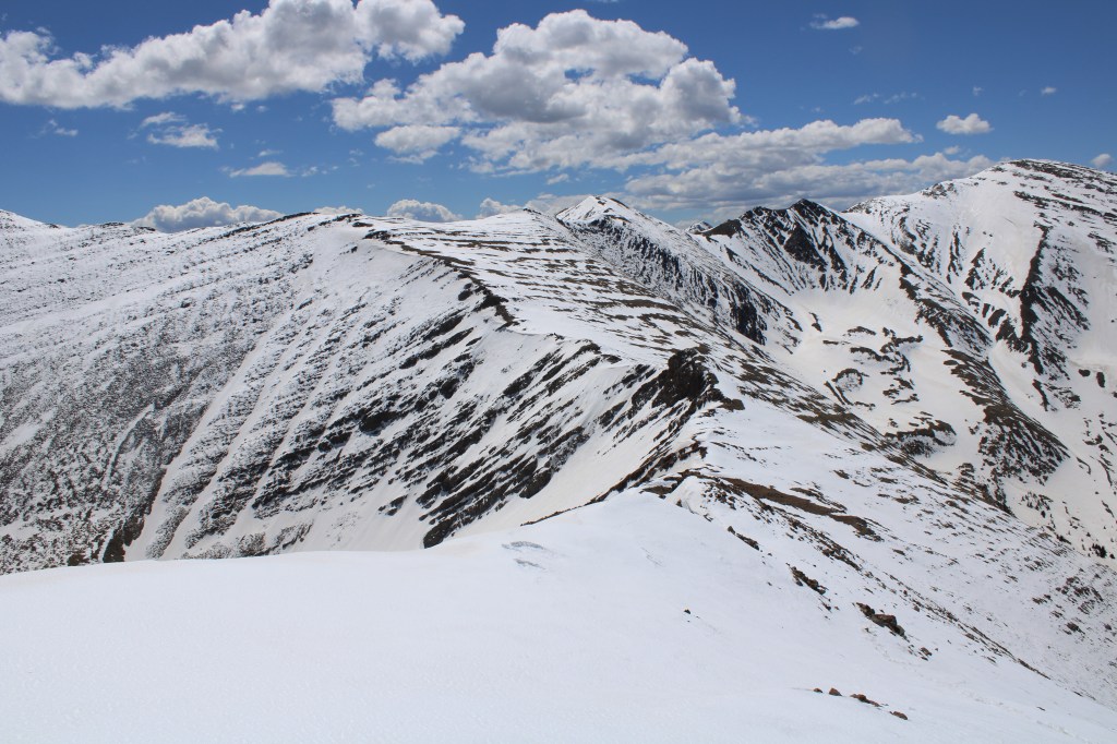
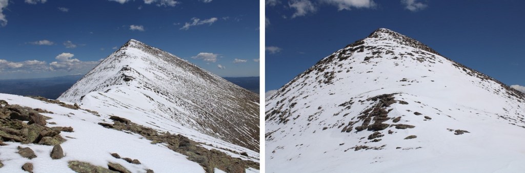
One good thing about the hike above treeline: there are no false summits to Gibbs Peak. What you see is what you get. As long as you keep heading west and gaining elevation, you’ll make it to the summit.
I made it to the summit of Gibbs Peak at 9am, after 6 hours and 8.25 miles of hiking.
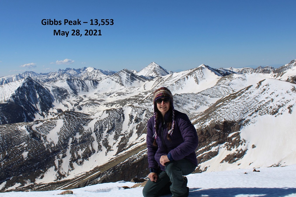
Gibbs Peak:
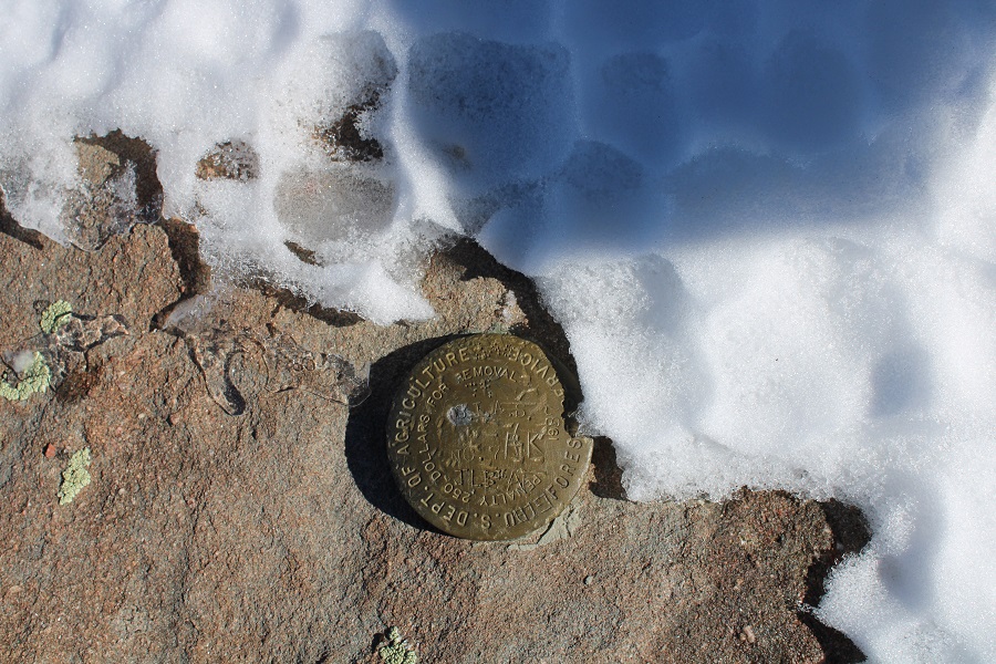
There was a benchmark on the summit. I took off my pack and realized I’d lost my water bottle somewhere. That’s what I get for not strapping it in. No matter, there was plenty of snow if needed. I’d have to look for my water bottle on my way back down.
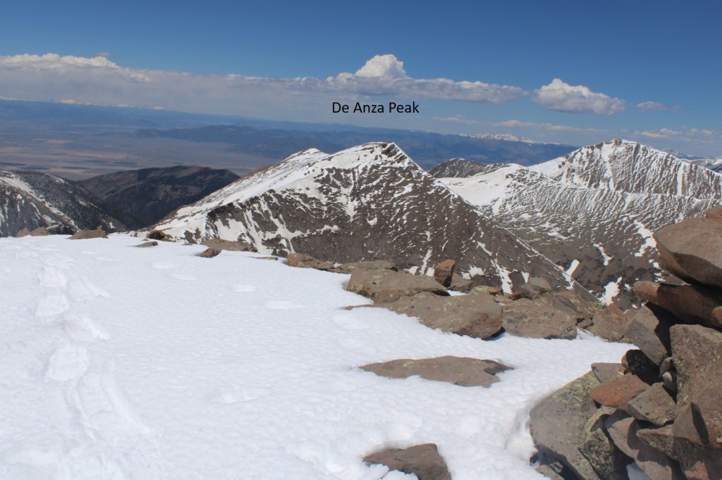
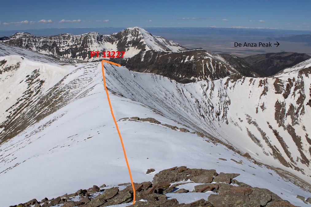
There wasn’t a summit register, so I left one. I had a great view of De Anza Peak to the northwest.
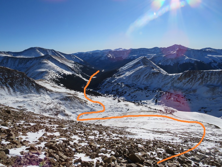
In order to get to De Anza Peak I had to head southwest to point 13227, and then northwest to the summit of De Anza.
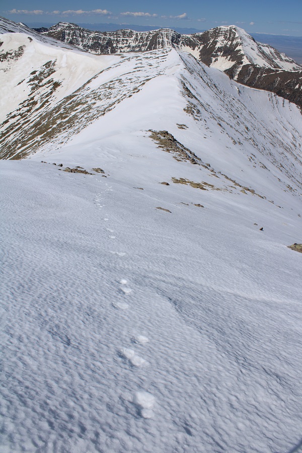
This part of the hike was actually quite fun, as I was now losing elevation, getting a little bit of a break, and following animal tracks the entire way.
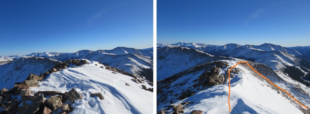
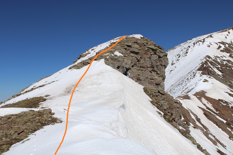
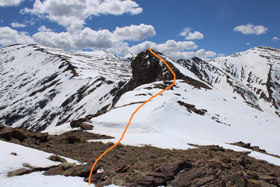
When I made it to PT 13227 I turned right and headed followed the ridge northwest. You can’t tell from these pictures, but I was actually downclimbing a bunch of rocky areas. On the way back I stuck to the areas covered with snow, as climbing up the rocks, especially in snowshoes, was a little too spicy for me without a helmet.

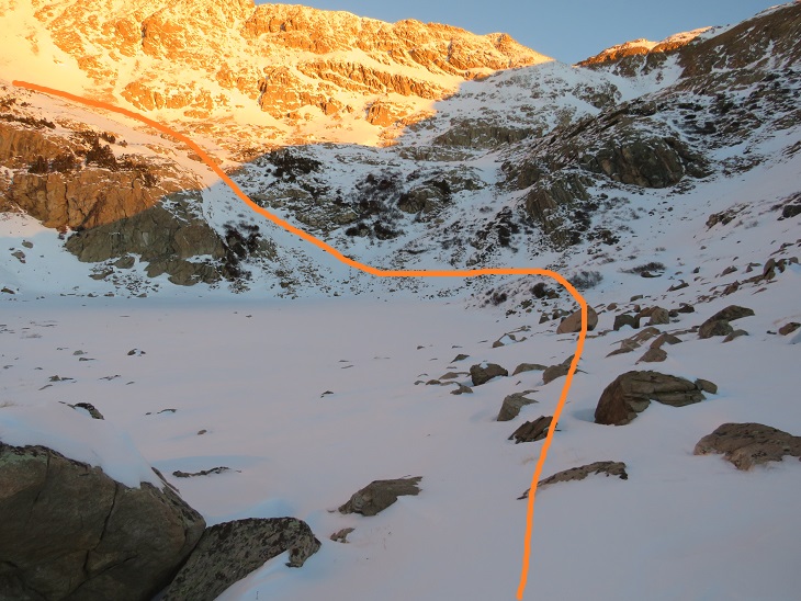
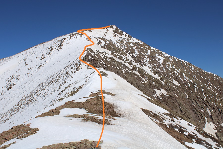
There was still more elevation to lose however. Here’s an overall view of the route to the summit
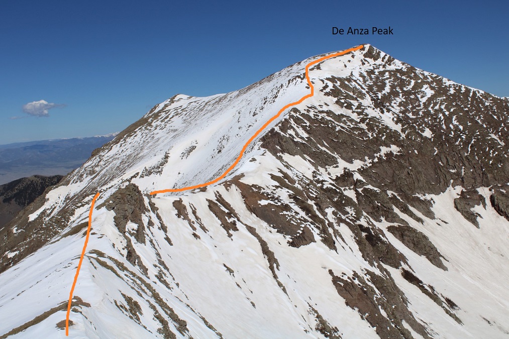
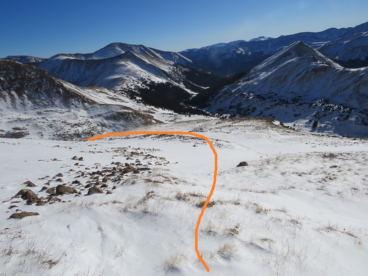
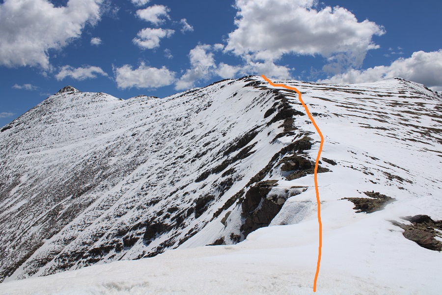
From this point on I needed snowshoes, as I began postholing up to my waist. I strapped them on and followed the ridge. Here are some step by step pictures. I went straight up and over this hump
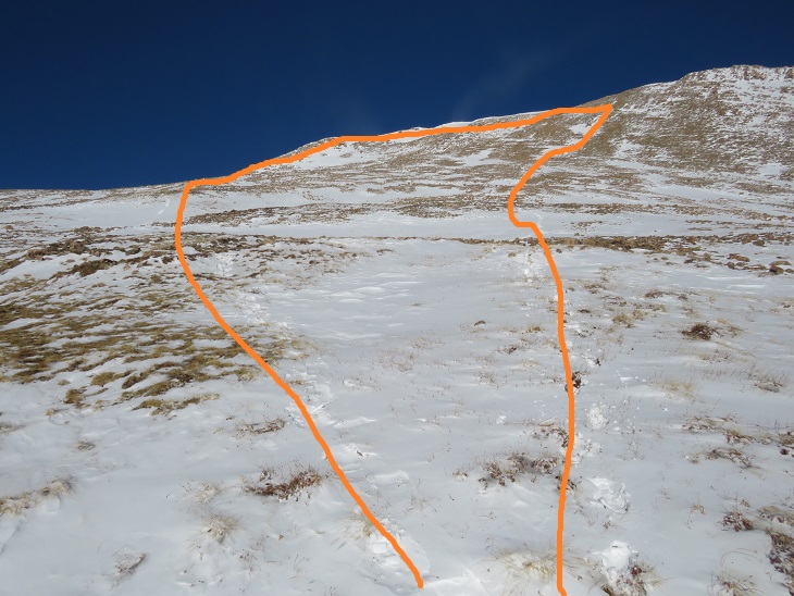
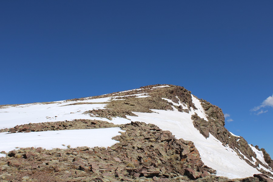
Then mostly stuck to the ridge, aiming for the gullies to my left just before the summit

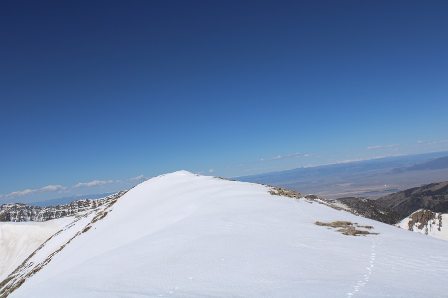
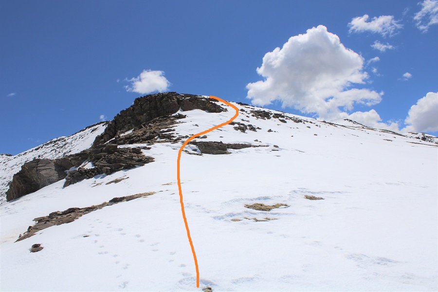
Once up the short (30-40 feet or so) gullies I followed the windswept ridge to the summit
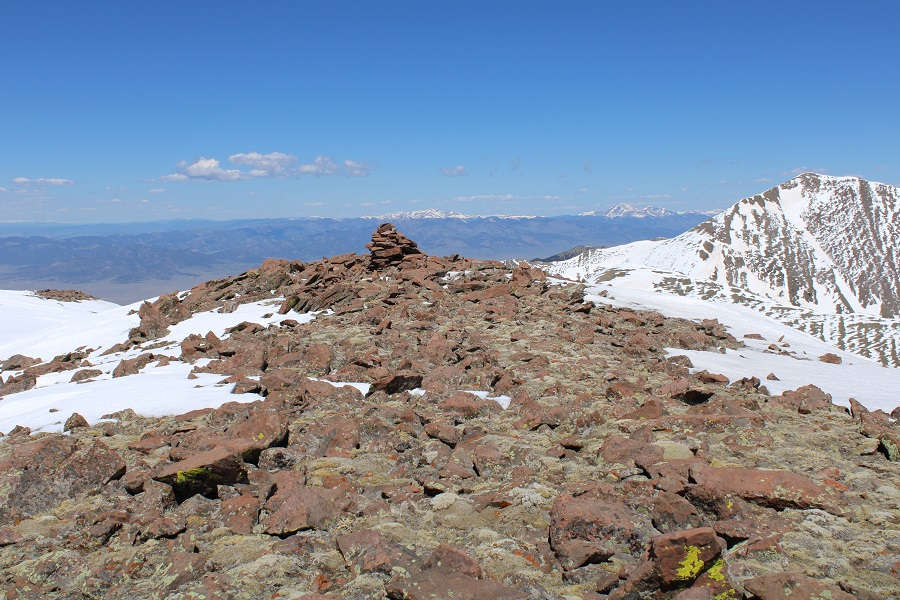
I summited De Anza Peak at 10:40am

De Anza Peak:
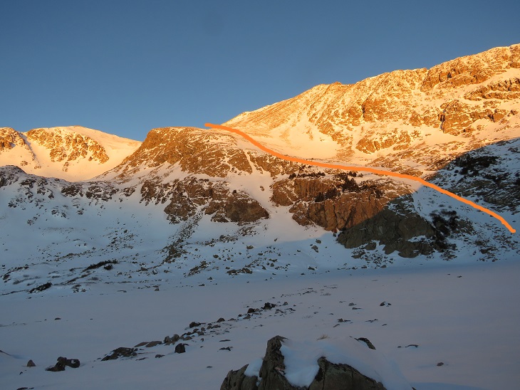
Here’s looking back at the route from Gibbs Peak

I left a summit register and started back. While it looks like a simple ridge hike back to Gibbs Peak, the areas without snow are actually rock formations, and I needed to skirt them on my way back.
I made it back down to the saddle, and went up and over the bump in the ridge again
Then skirted the rocks to the right, staying on the areas with snow

Then it was a simple ridge hike back to the summit of Gibbs Peak
I re-summited Gibbs Peak, then followed the ridge east back to treeline. I looked for my lost water bottle, but was unable to find it. (If you find it, it’s yours!)

This time, when I entered the trees, I stayed right. It was my intention to avoid all the bushwhacking I’d one on the way in by taking trail 1350 out. I once again encountered the mashed potato snow at treeline

And at 10,600’ I descended towards Texas Creek.
I was highly disappointed to find this area was no better than the way I’d taken on my way in. In fact, it may have been worse: at least when I was on the ridge, I had a sense of direction. Now I was unable to find a distinguishable trail, so I followed the creek east out of the basin.
At one point I realized the creek was actually the trail, or what used to be the trail.
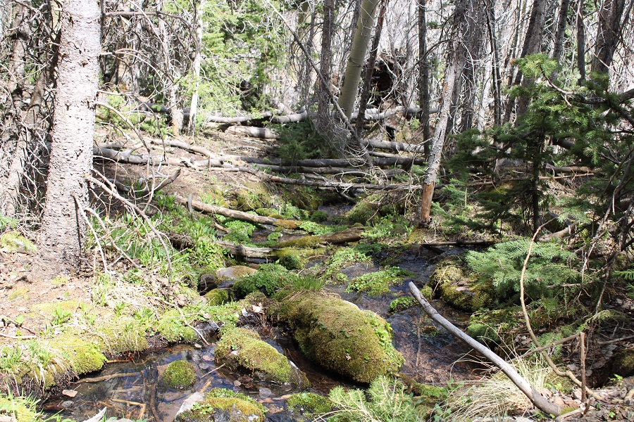
Eventually the trail became a bit more distinct, although still covered in water and downed trees. Just know if you’re following the creek east, you’re going in the right direction.
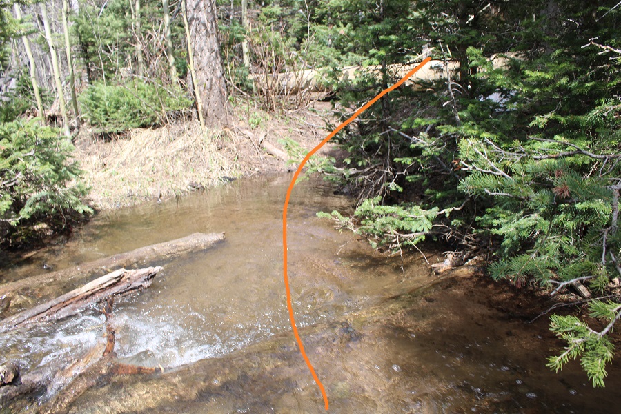
I had to eventually cross the creek, and to do so I needed to take off my shoes. I crossed the creek, and here the trail picked up again. From the creek crossing Trail 1350 was much easier to follow; there wasn’t any water on the trail, but there were still downed trees.
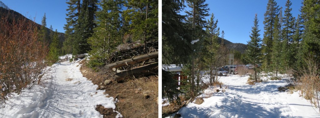
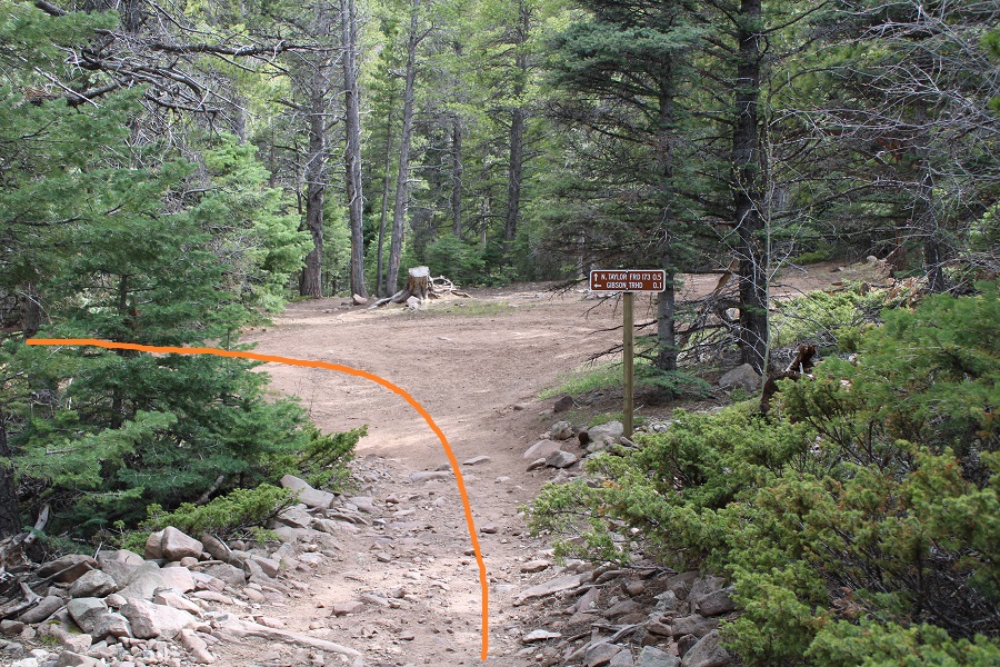
From the creek crossing it was just over a half mile to the Rainbow Trail / Trail 1350 junction, where I picked up the Rainbow Trail again and followed it back to the trailhead.

I made it back to my truck at 5pm, making this a 20.02 mile hike with 7343’ of elevation gain in 14 hours.
So, which approach is better, the ridge or the creek? If I had to go with one, I’d say the ridge, just because I had a better sense of direction. Both were miserable.