Mount Marcy – 13,490 and Silver Peak – 13,513

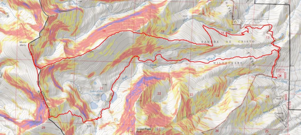
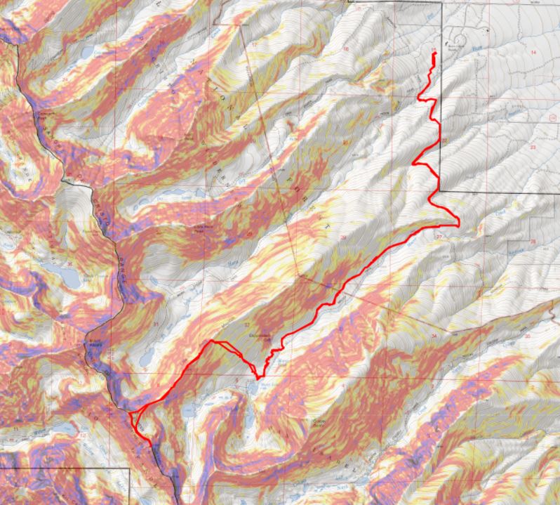
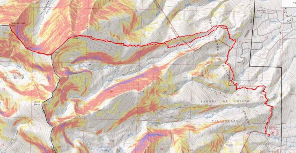
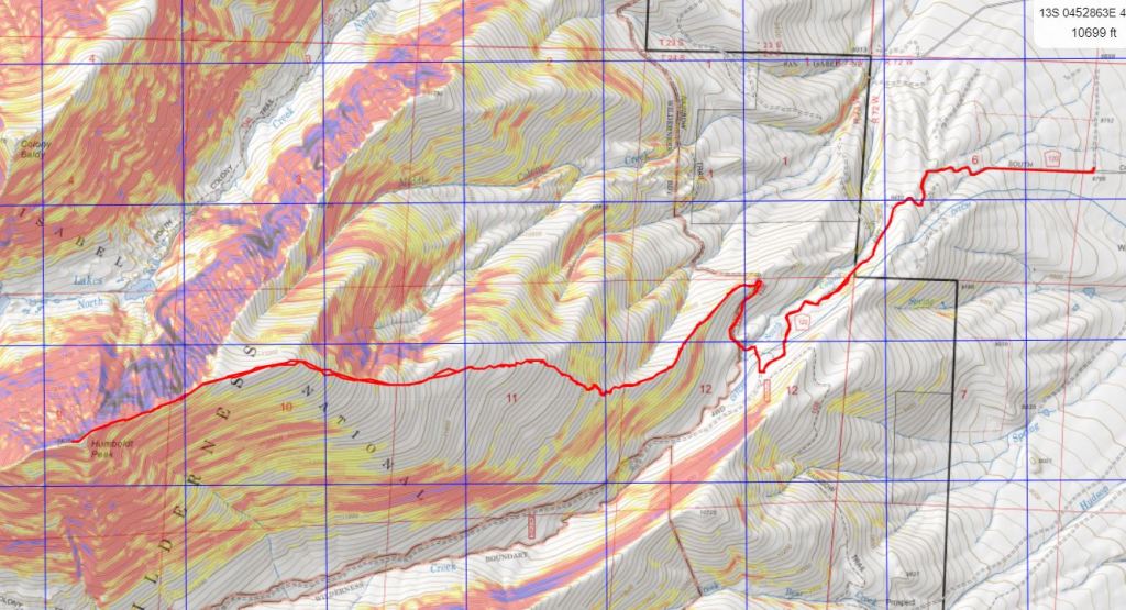
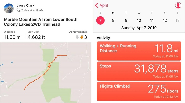
RT Length:  16.6 miles

Elevation Gain: 5573’

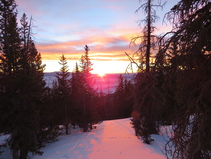
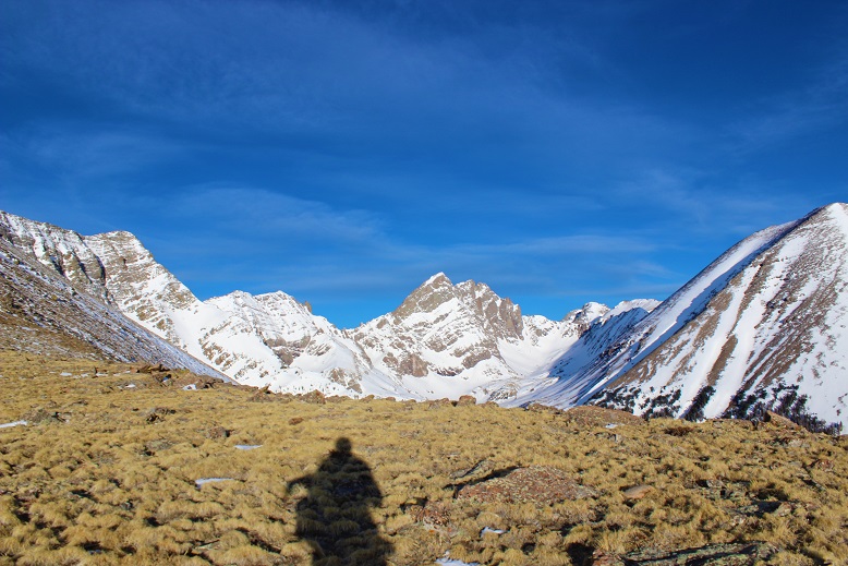
I wanted an early start for this peak, but not too early.  I knew it had snowed the past couple of days, but only a few inches:  I had no idea what to expect when it came to conditions, above or below treeline.  I got a later start than usual because I was making this a loop and wanted to get pictures on the way in of the route.  I gathered my gear and was on the trail at 5:30am.

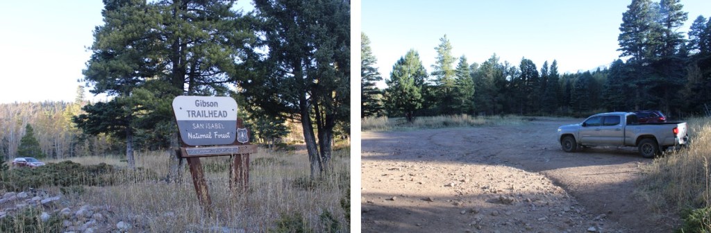
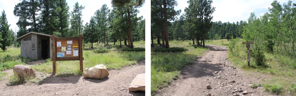
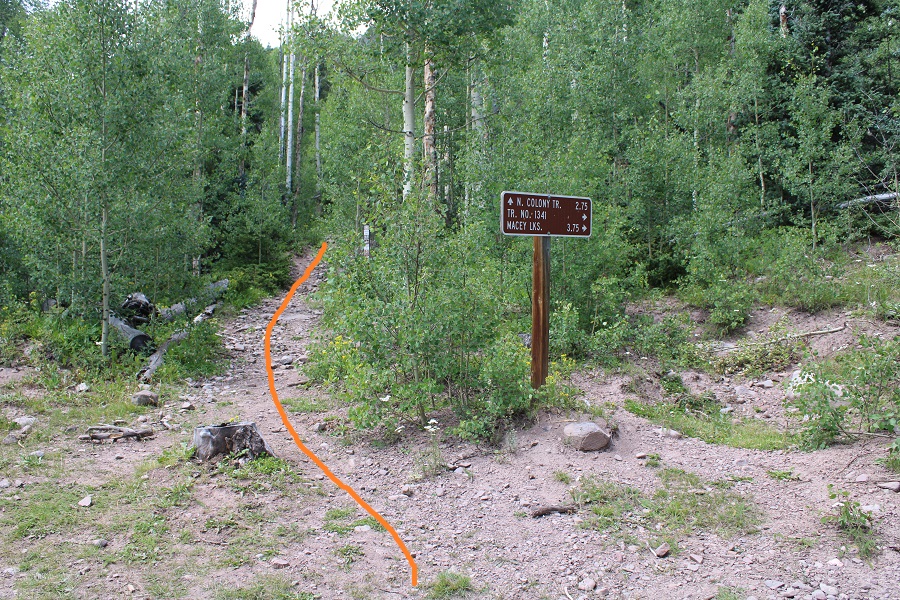
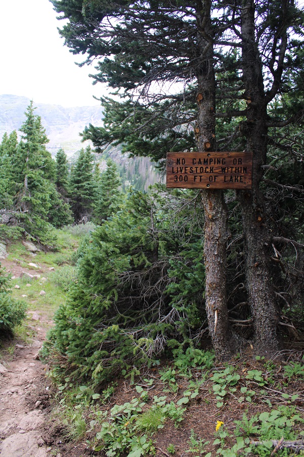
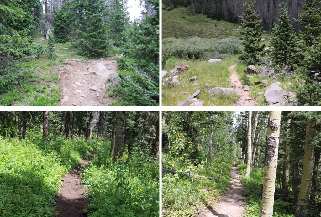
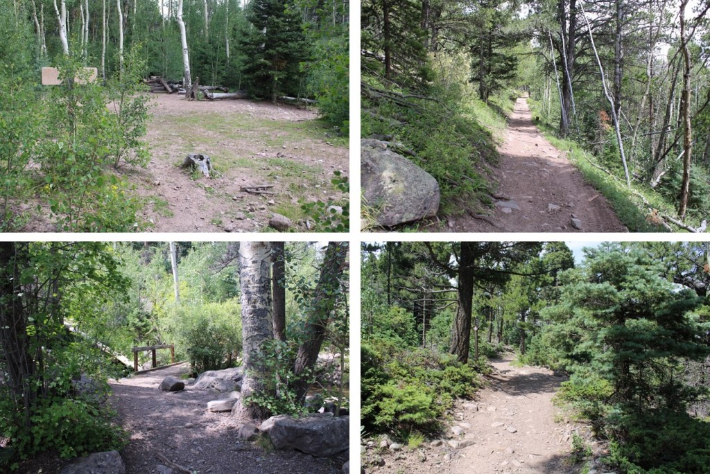
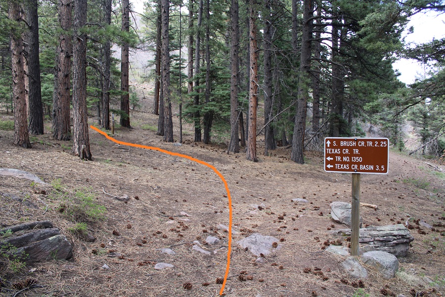
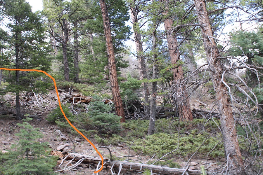
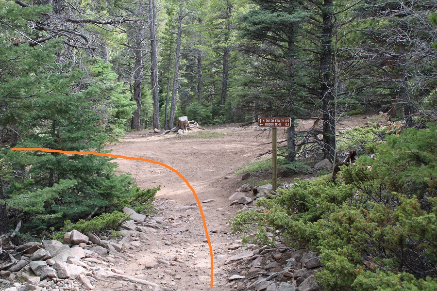
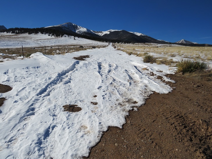
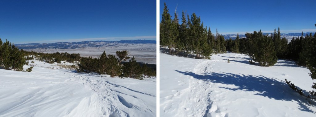
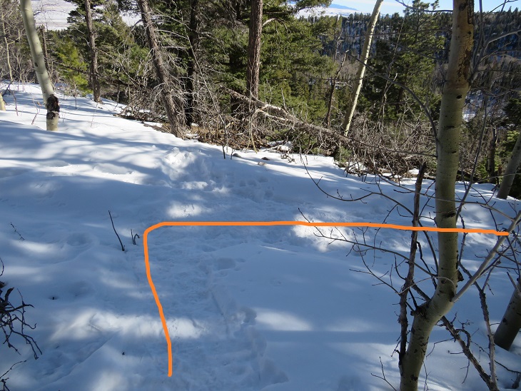
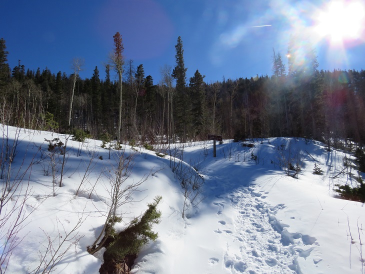
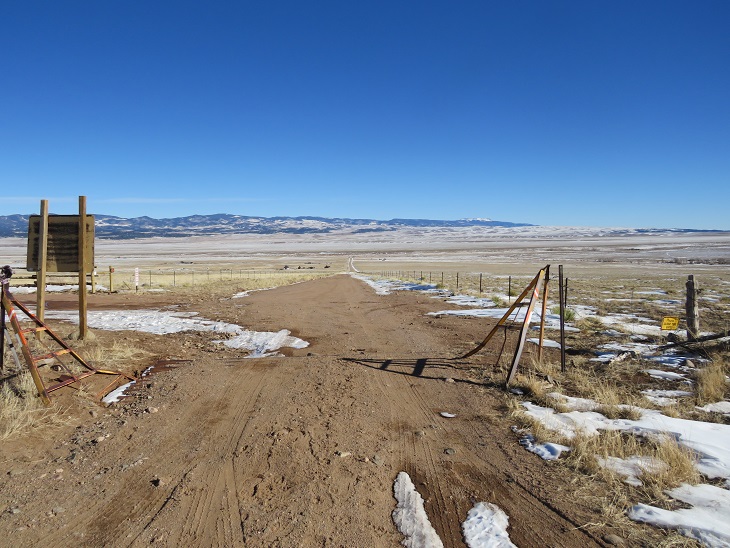
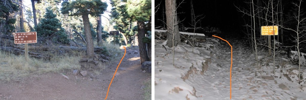
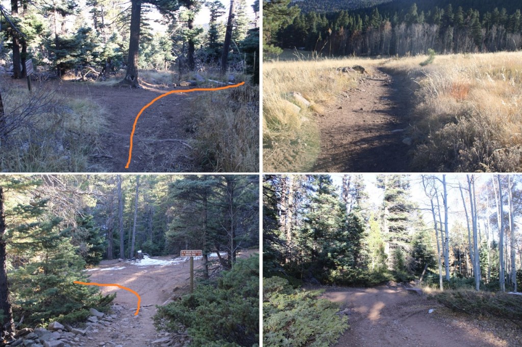
I started following the Gibson Creek trail west, and after about .1 of a mile, turned right onto 1336 (the sign is still damaged) and followed 1336 past the first junction (this is where the loop connects) and turned left onto 1349.  I had hiked for a total of 1.3 miles at this point.

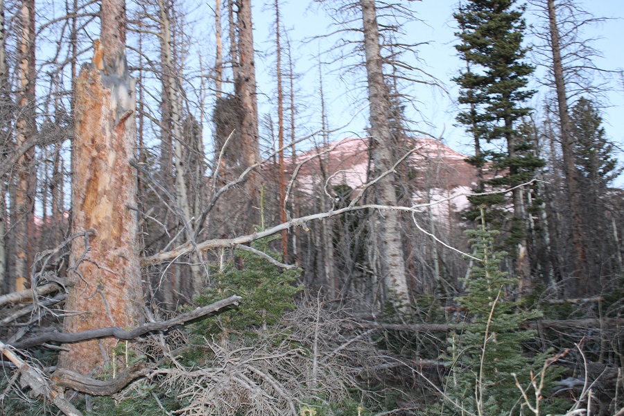
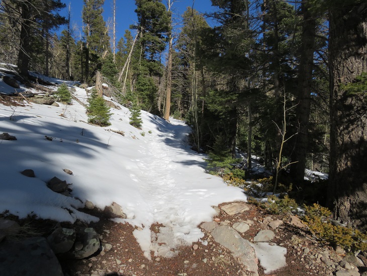
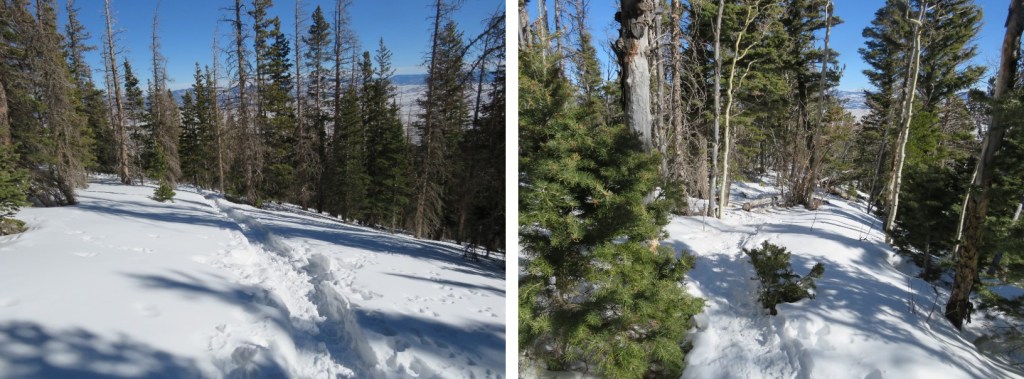
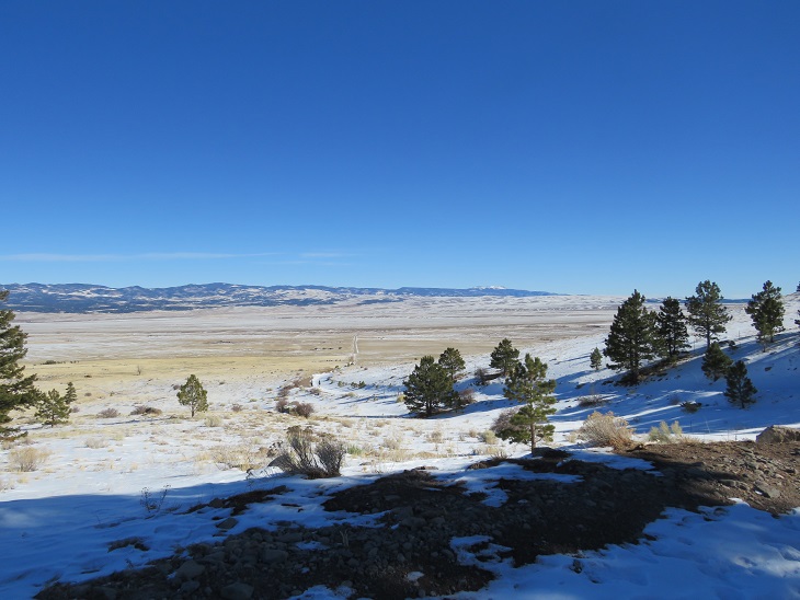
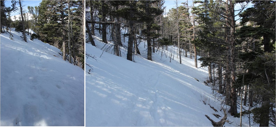
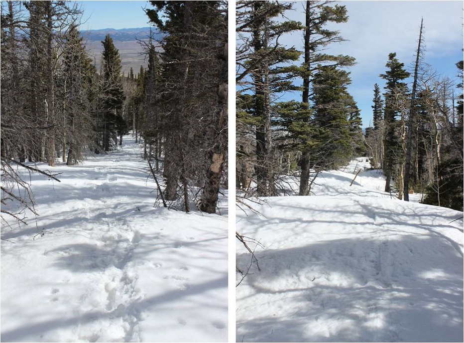
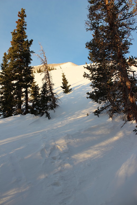
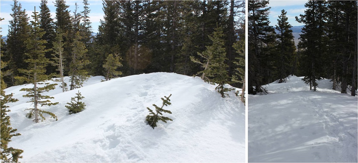
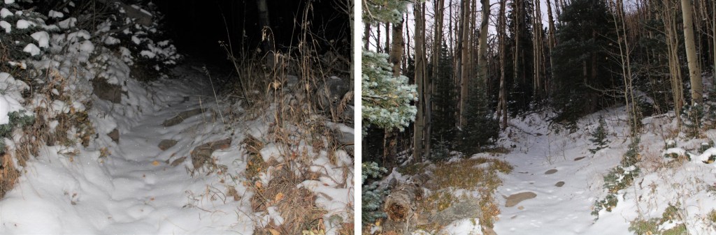
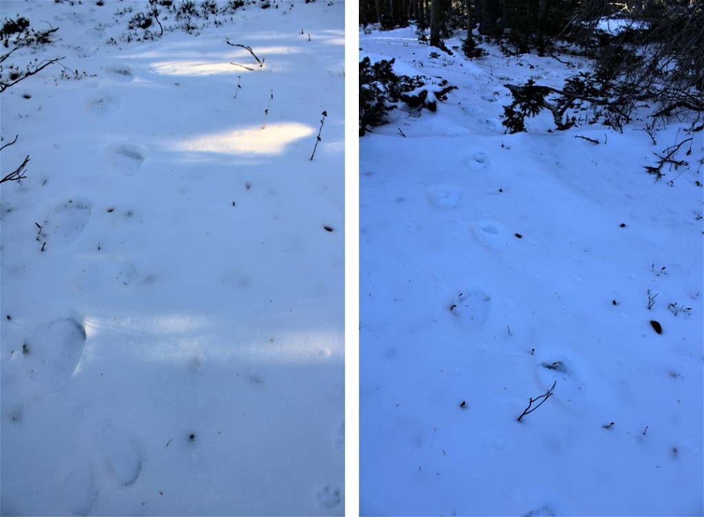
There was now snow on the trail.  It was still dark, and I could hear an owl hooting in the trees. I saw lots of rabbit tracks, and some elk tracks as well.  Mine were the first footprints. I continued following trail 1349 as it switchbacked up the mountainside.

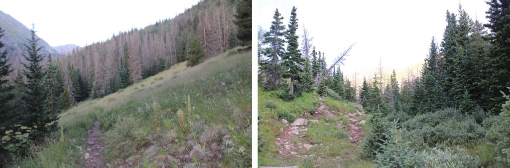
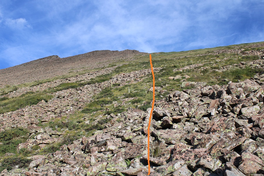
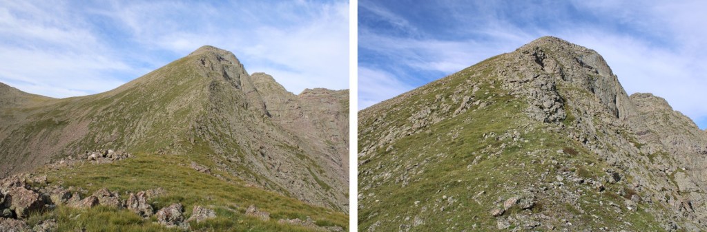
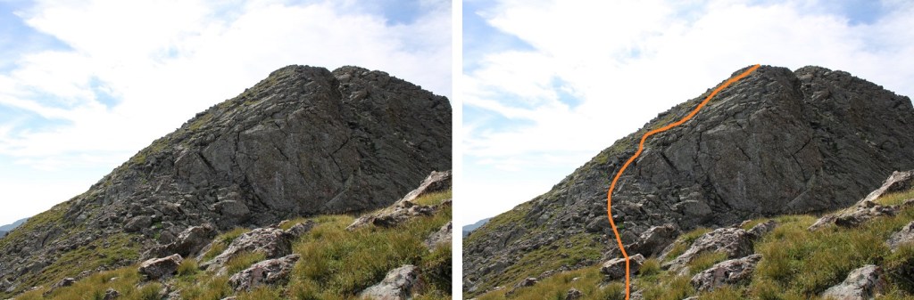
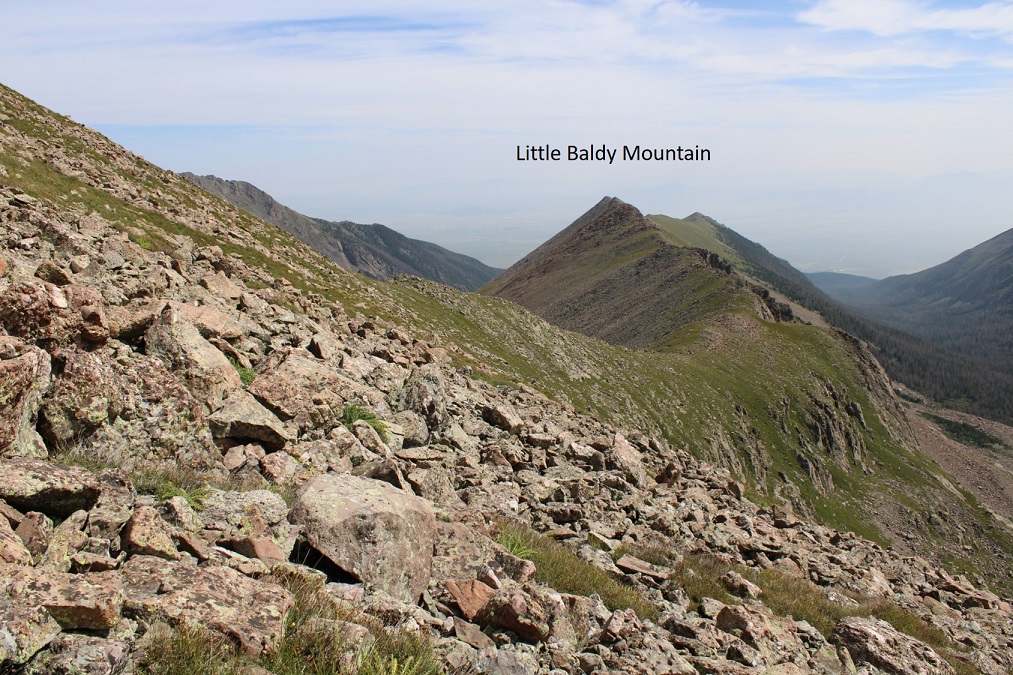
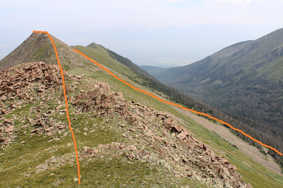
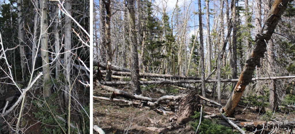
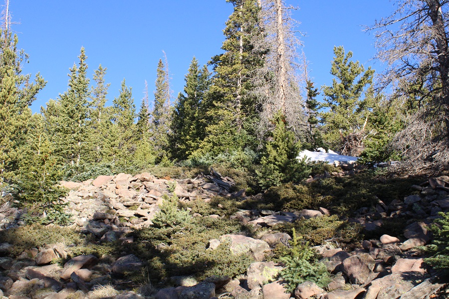
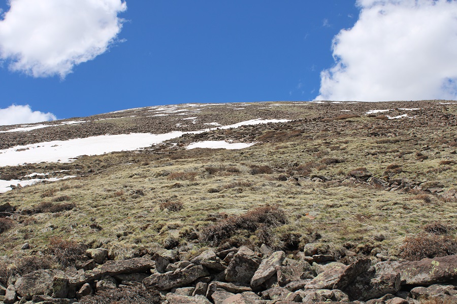
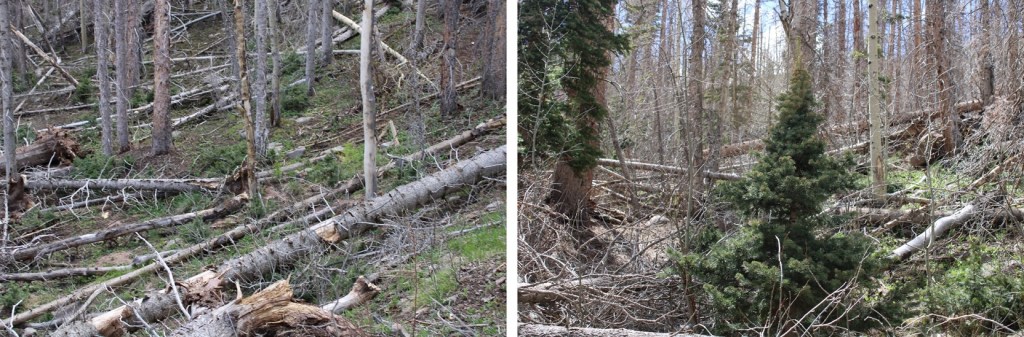
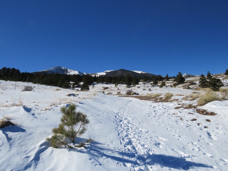
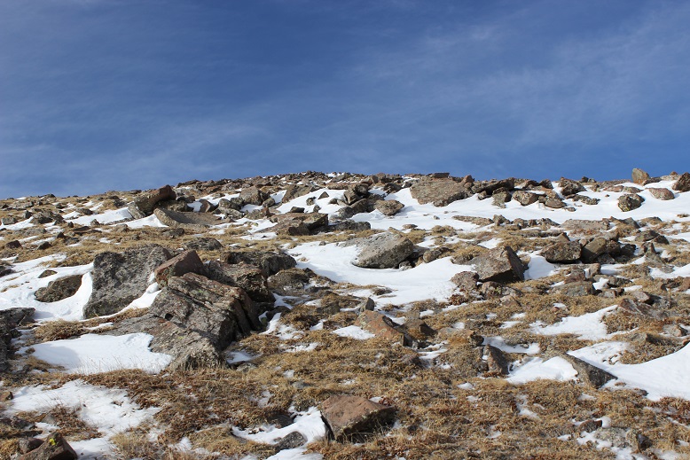
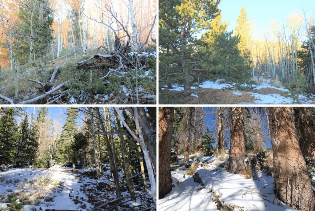
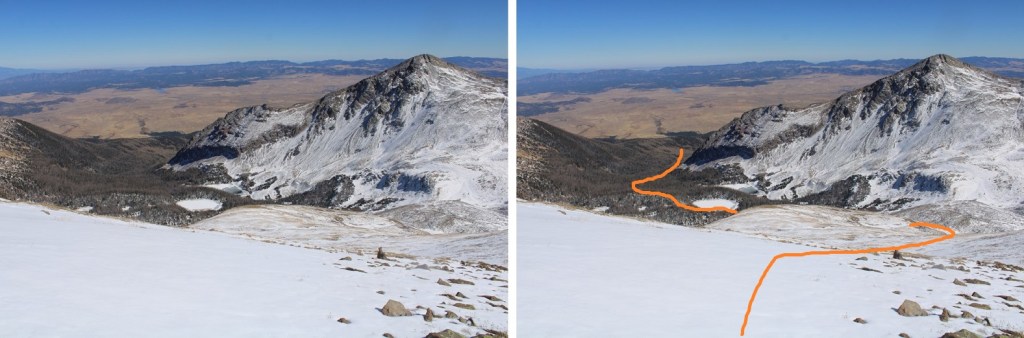
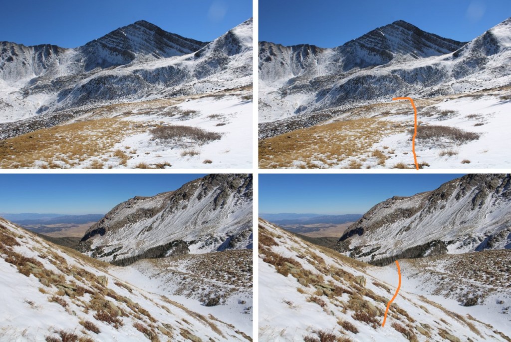
At 10350’, and after a total of 3.4 miles of hiking, the trail will stop increasing in elevation and start heading towards trail 1351.  It was here I left the trail and headed west up the ridge.  I was worried there would be a lot of downfall here, like there is when heading up towards Gibbs Peak, but the ridgeline was surprisingly manageable below treeline.

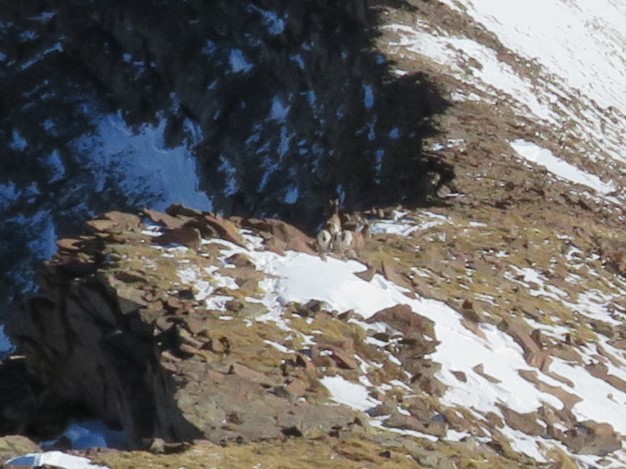
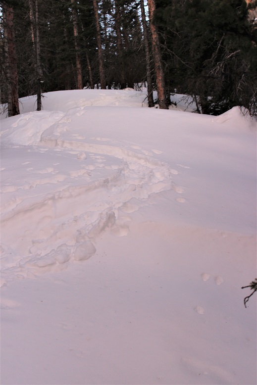
Along the ridge I came across two separate sets of bear tracks, both heading south

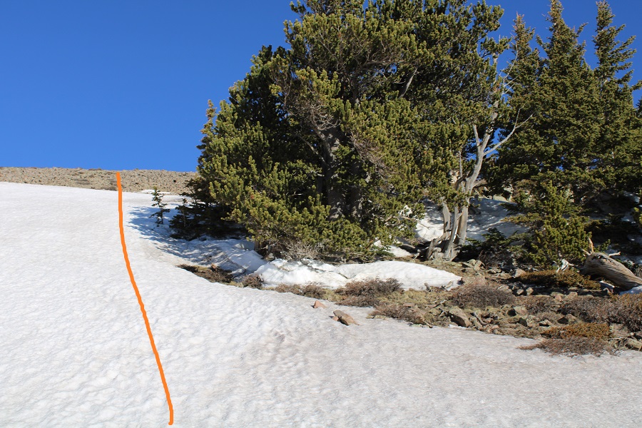
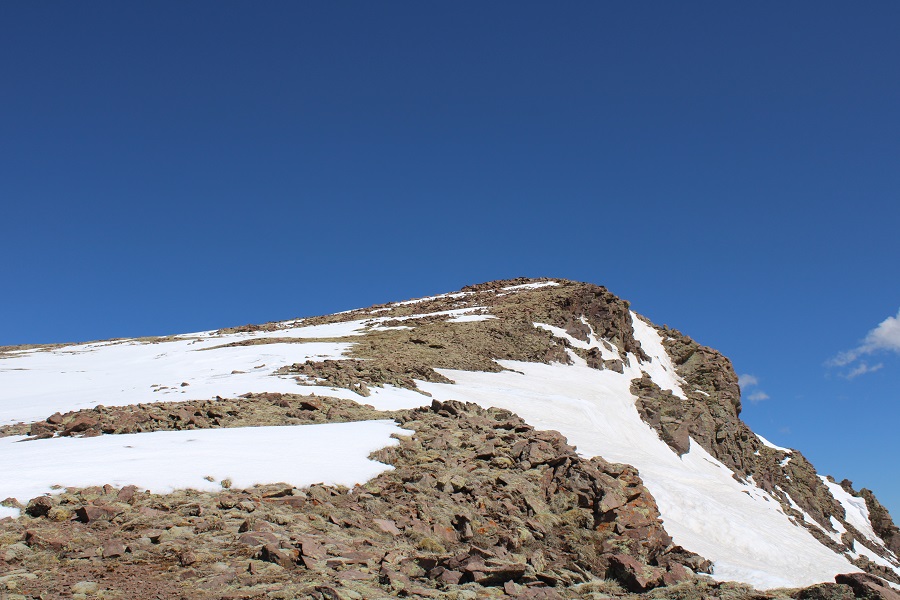
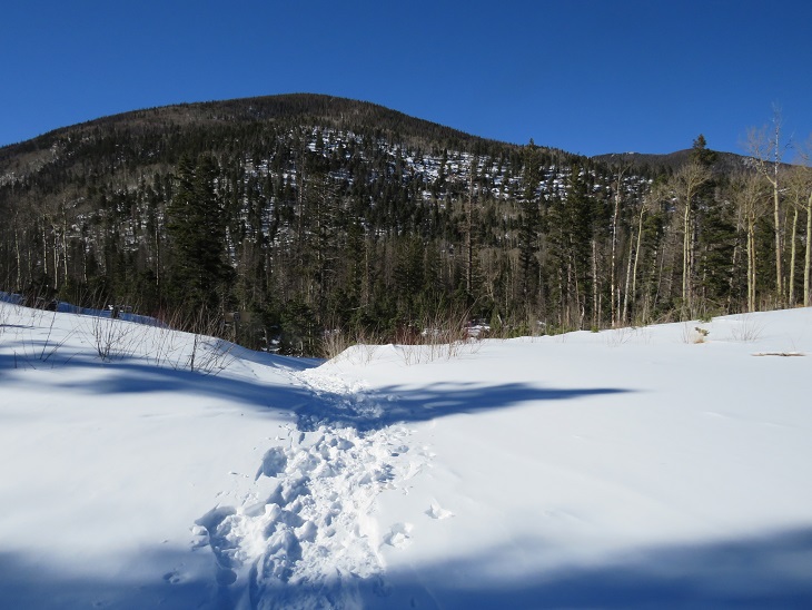
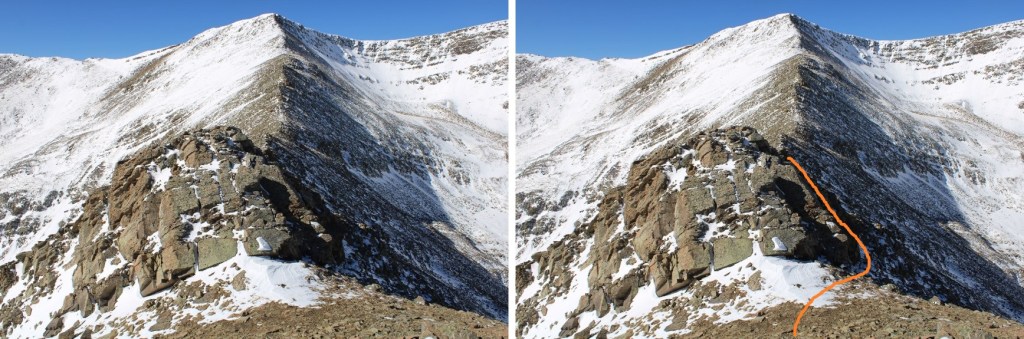
I kept heading west, following the ridge.  Just at treeline, and before topping out, I skirted the ridge to the left. 

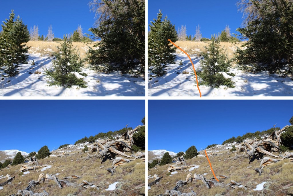
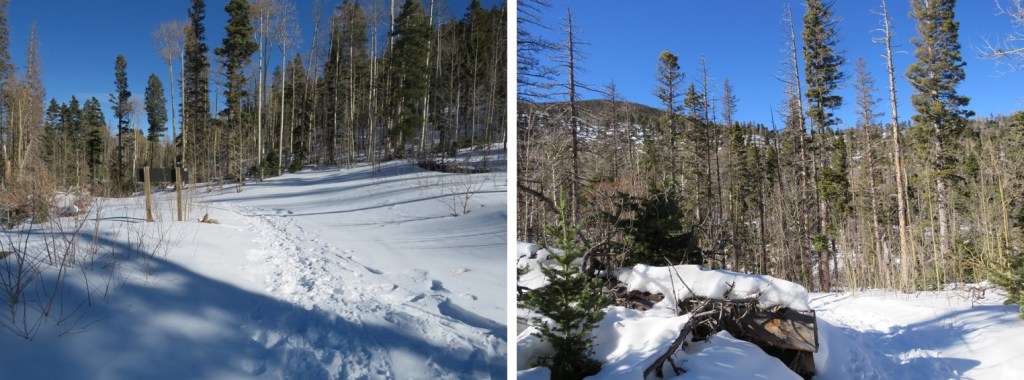
There is no need to ascend to PT 12245.  Instead, I stayed just a bit south of the point, then gained the ridge by losing elevation.

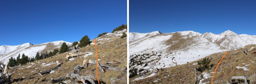
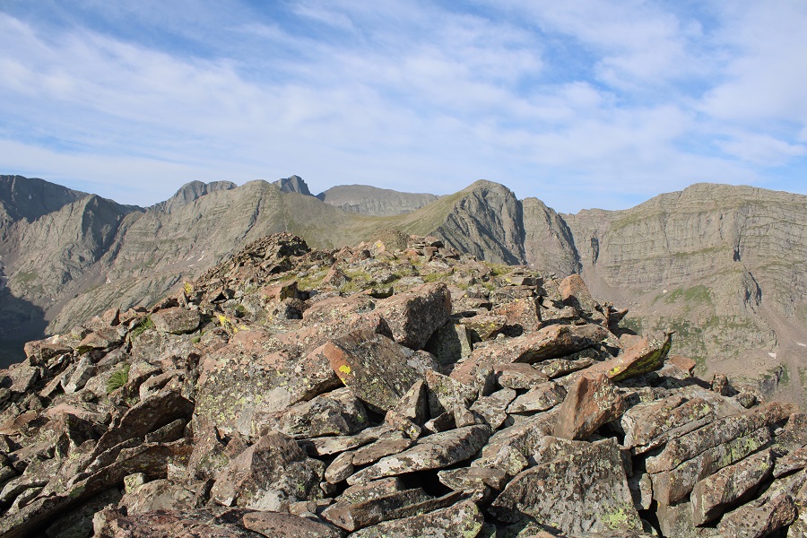
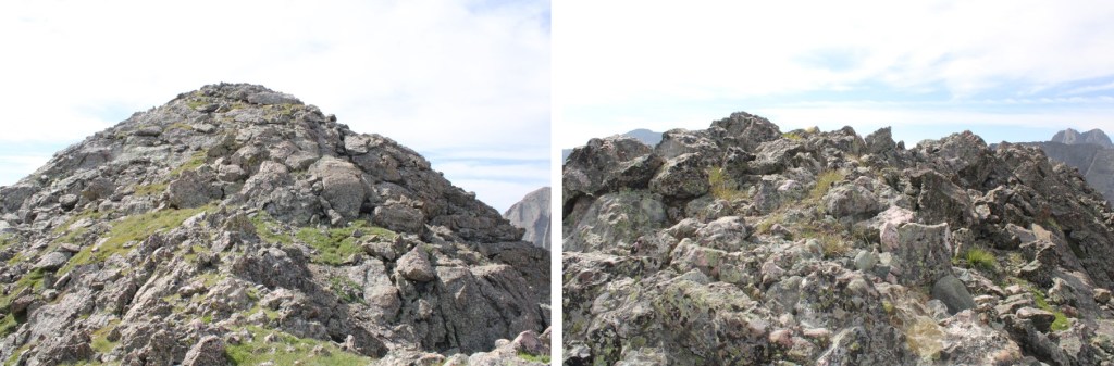
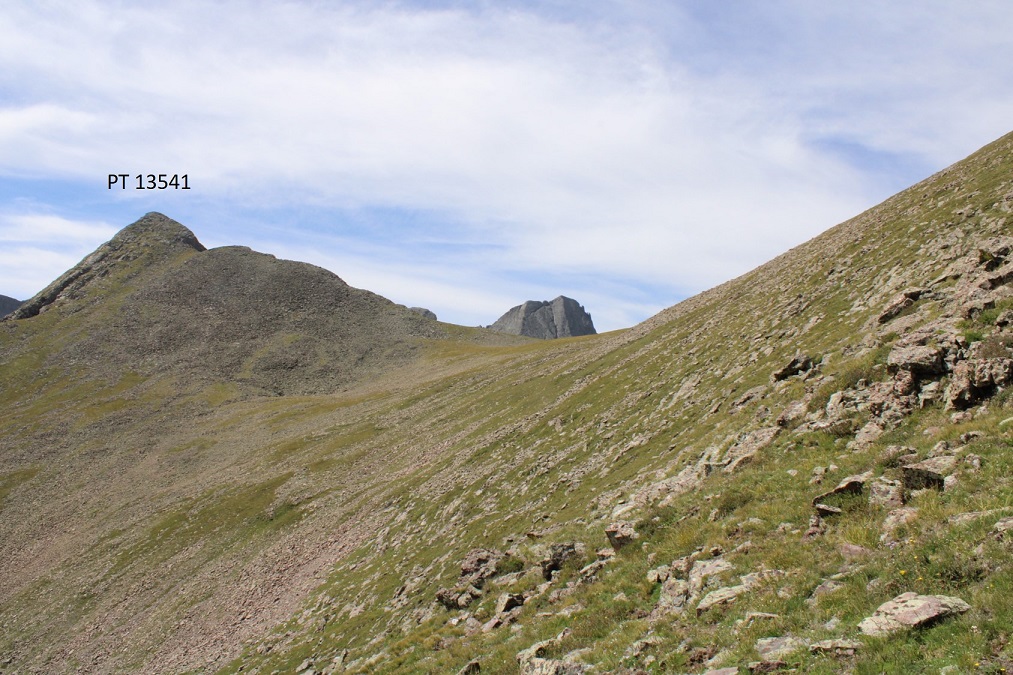
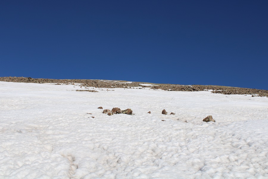
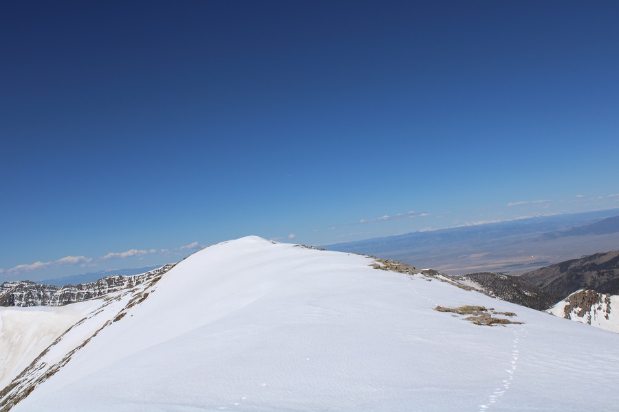
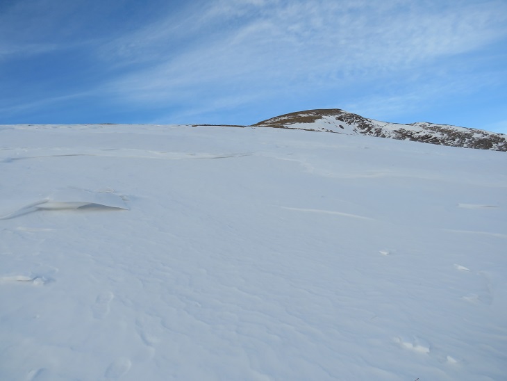
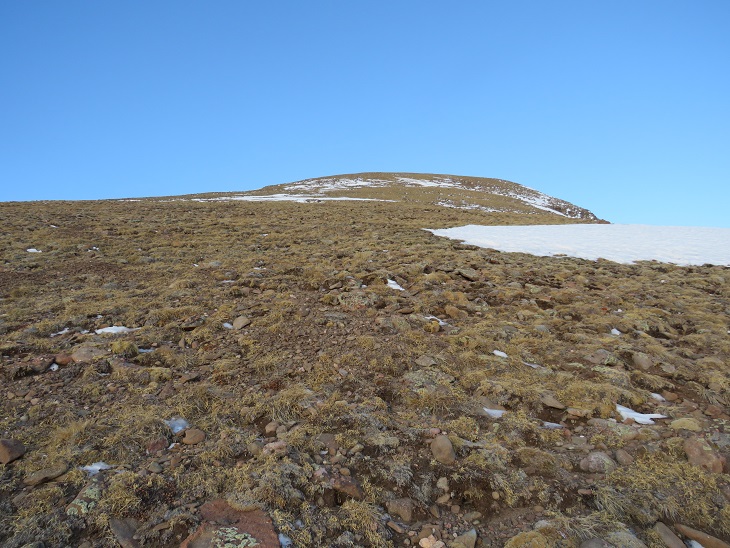
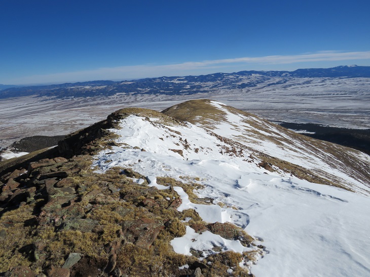
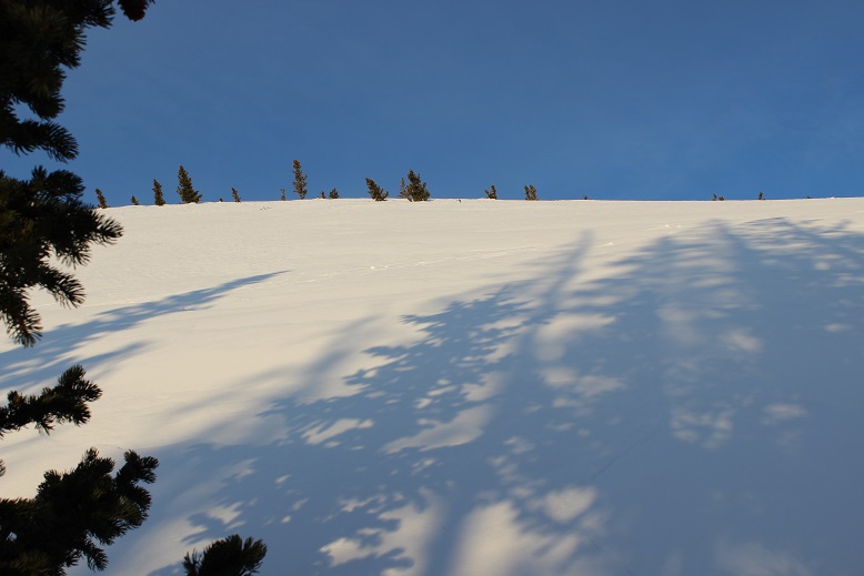
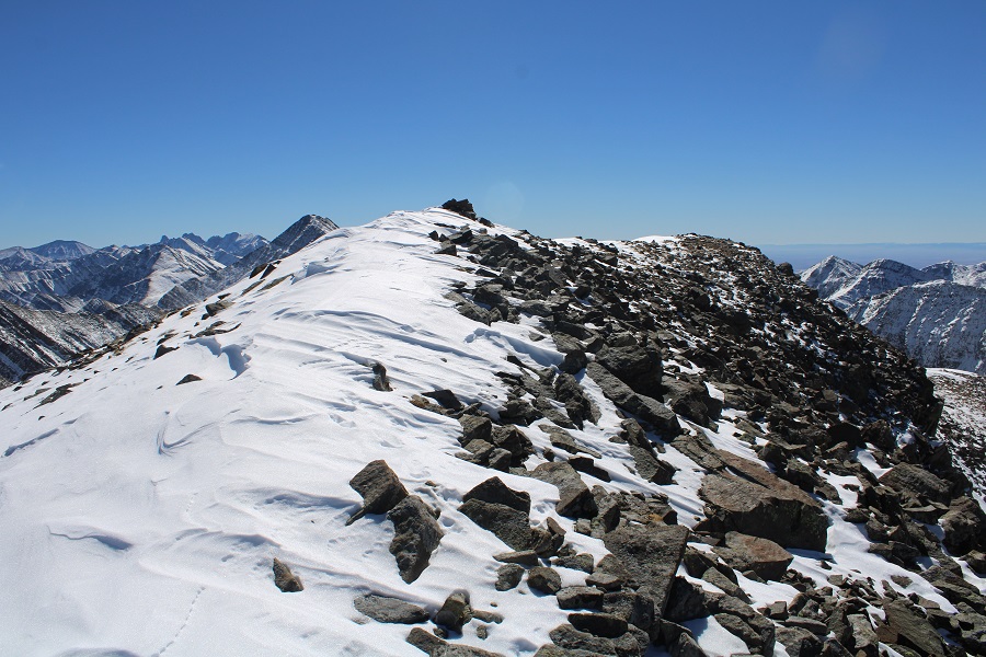
Once on the ridge the conditions varied.  They started out with easy, lightly covered-in-snow tundra.  I followed the ridge southwest.

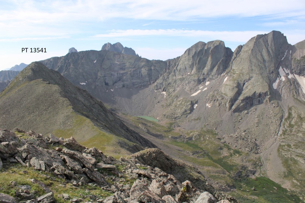
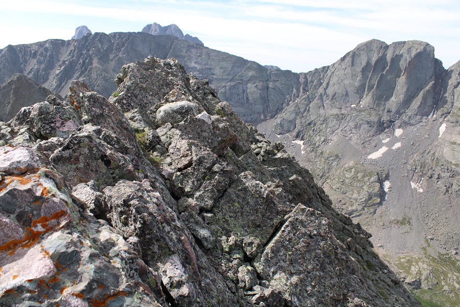
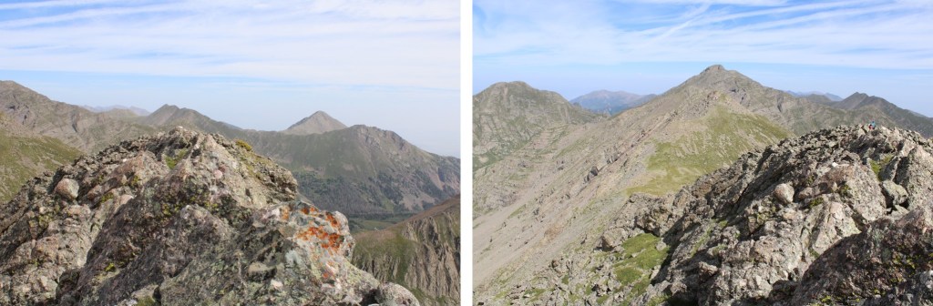
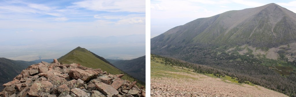
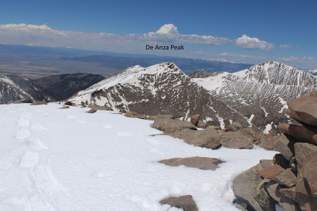
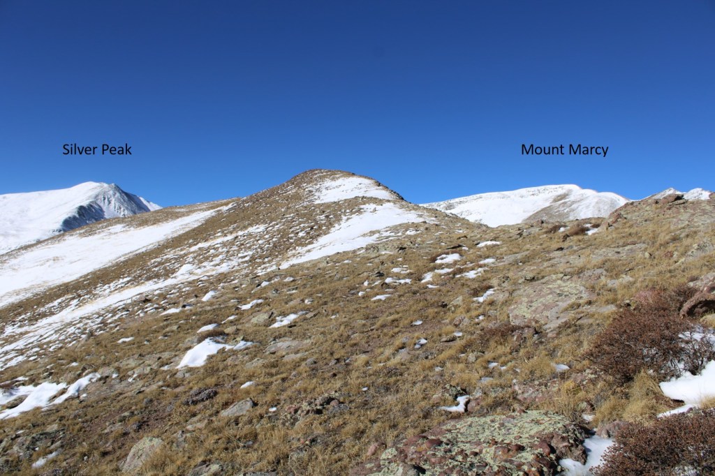
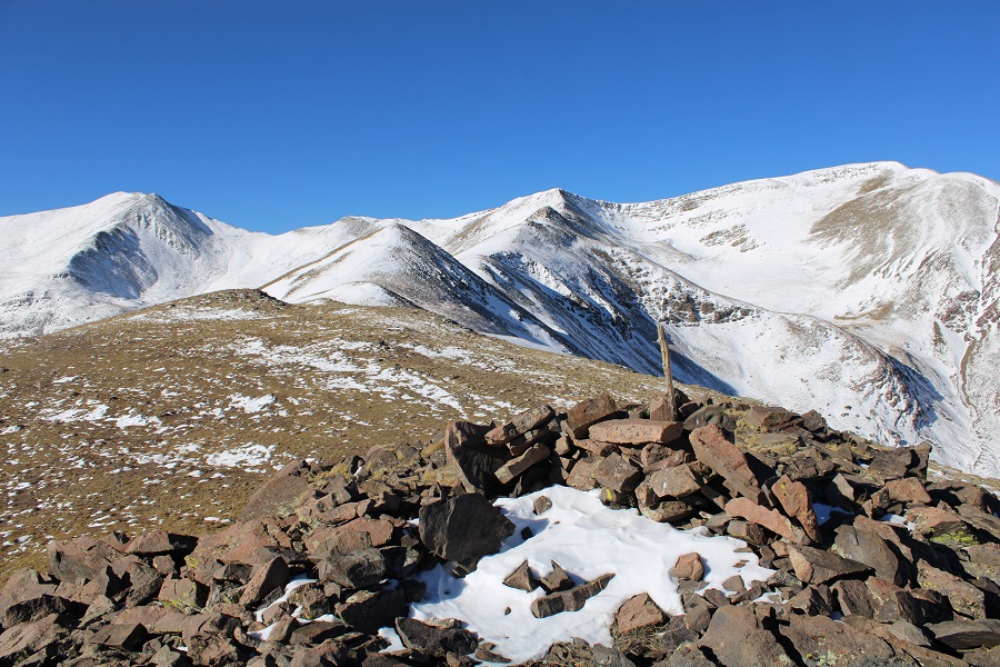
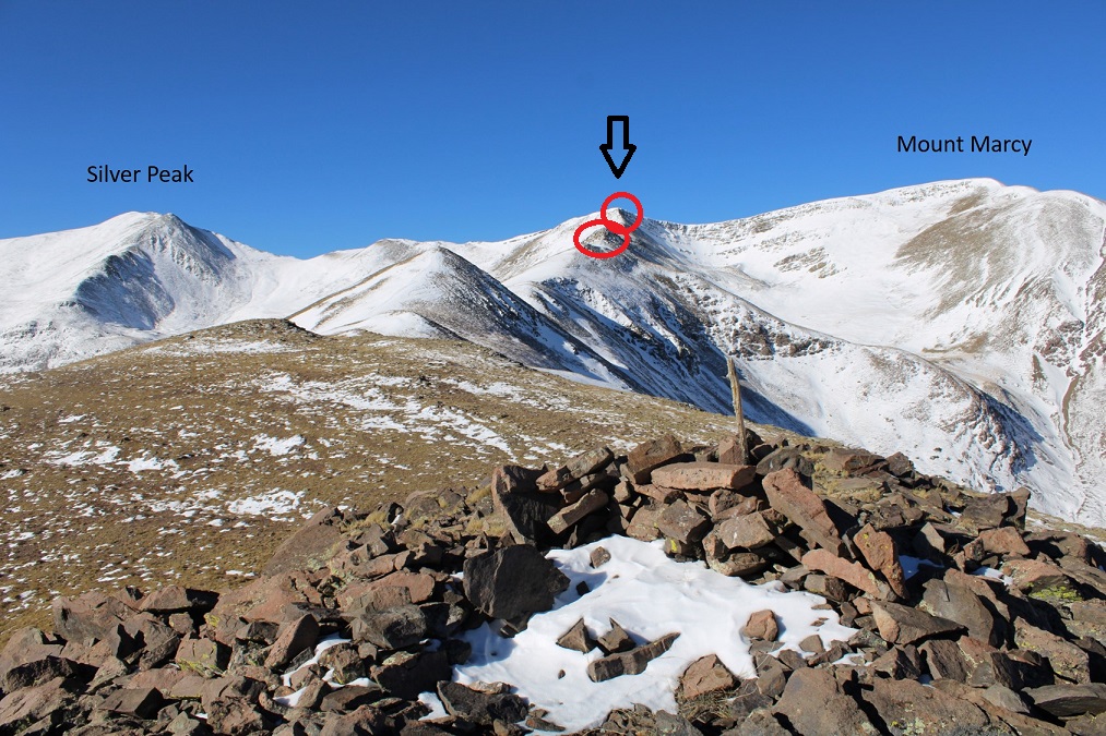
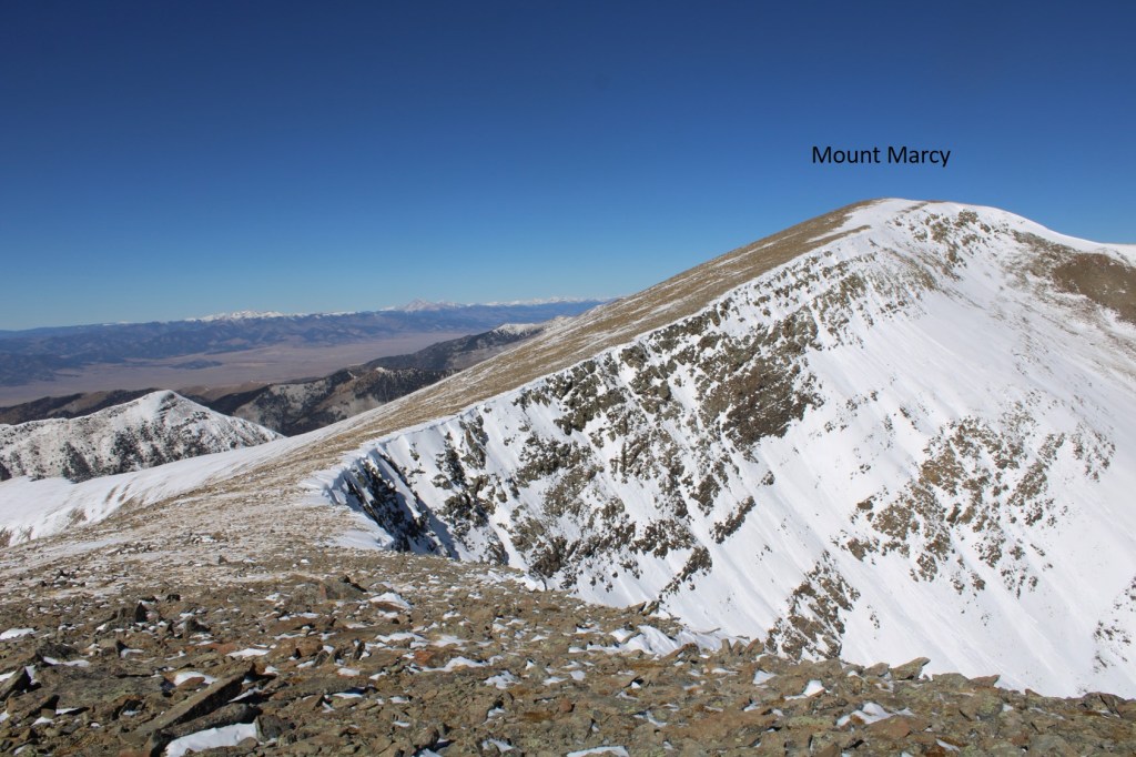
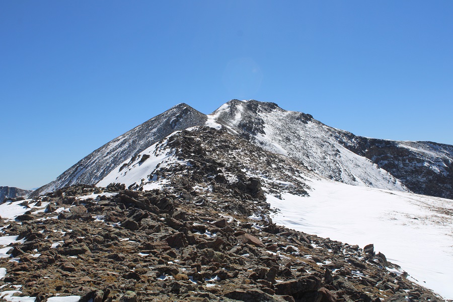
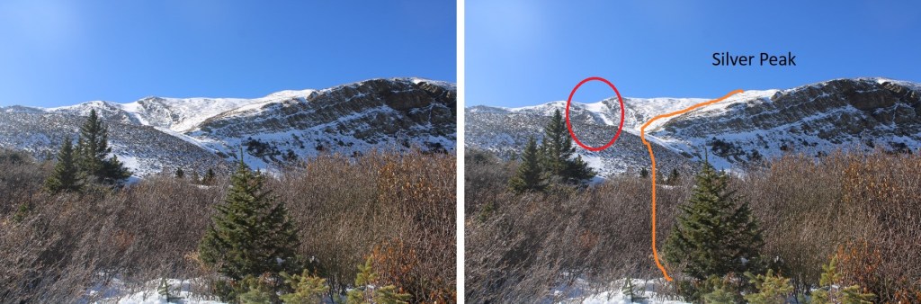
I was able to see Mount Marcy and Silver Peak clearly at this point. 

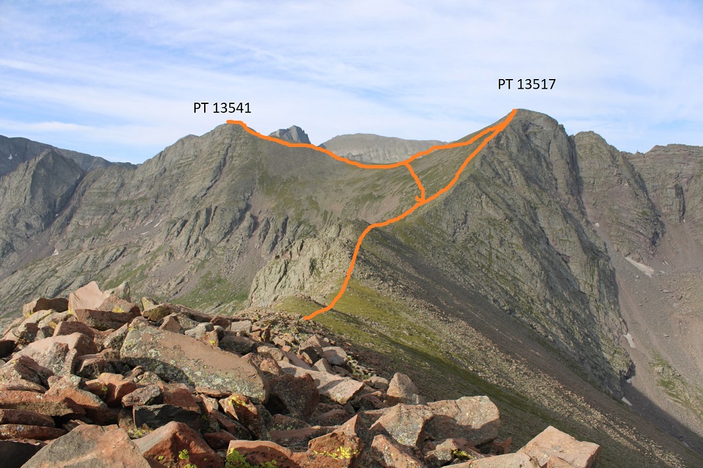
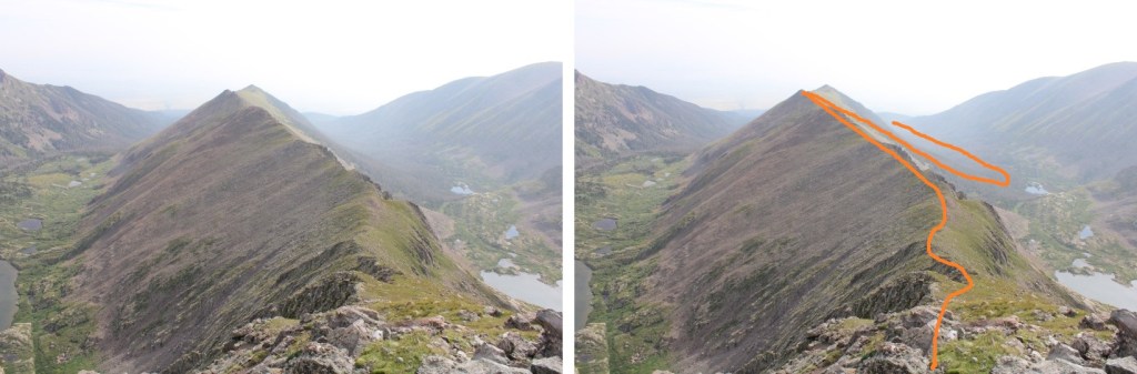
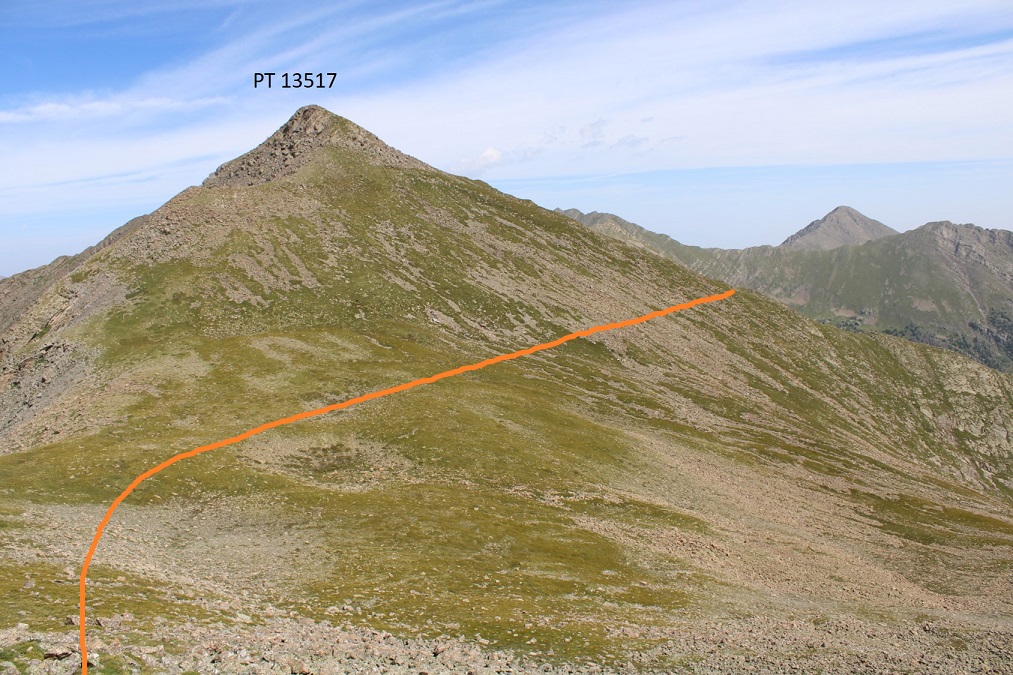
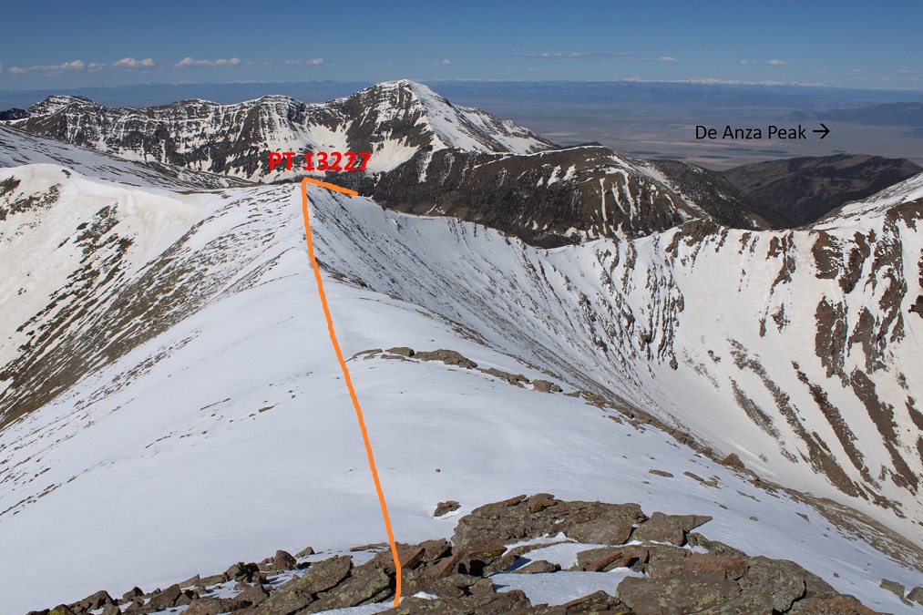
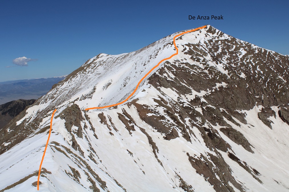
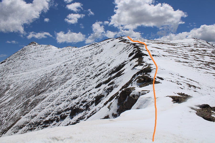
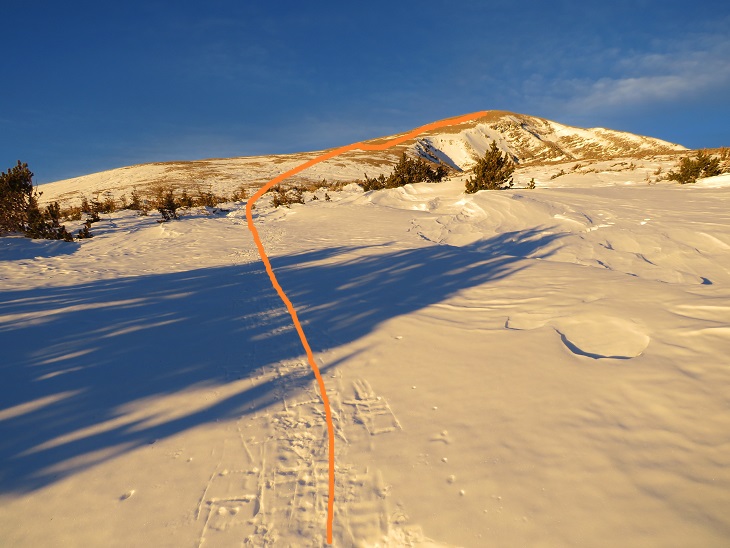
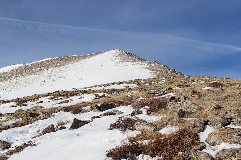
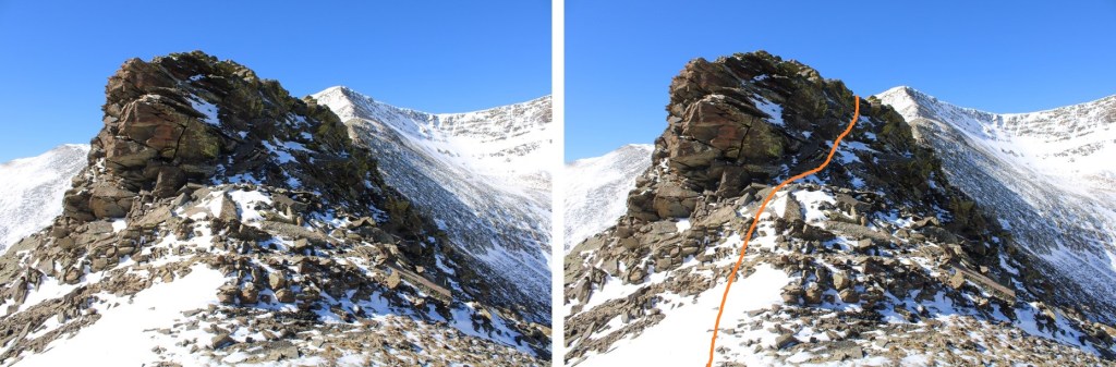
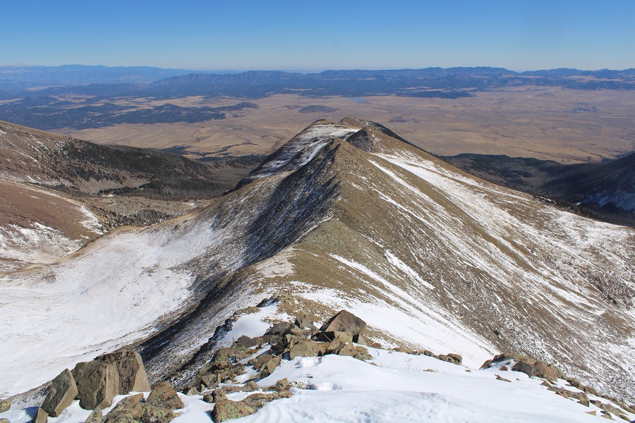
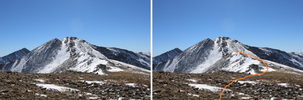
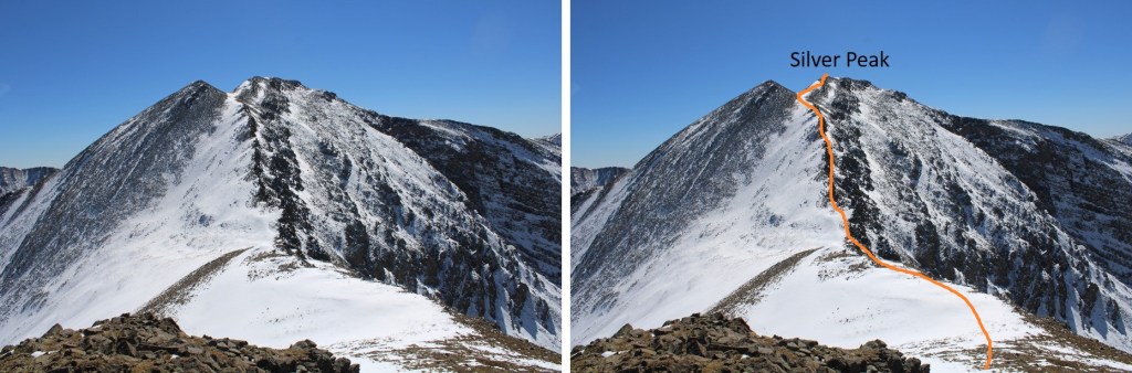
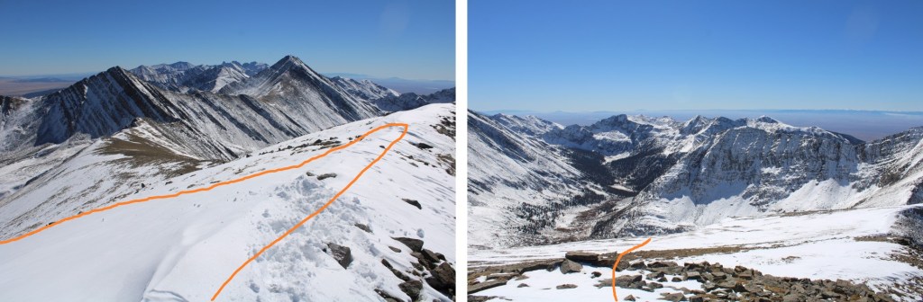
I continued following the ridge southwest, through varying conditions.  There were a lot of elevation gains and losses. I was aiming for the point in the middle. The difficult areas are circled in red (only difficult because of today’s current snow conditions). The rest of the ridge was a class 2 ridge walk. 

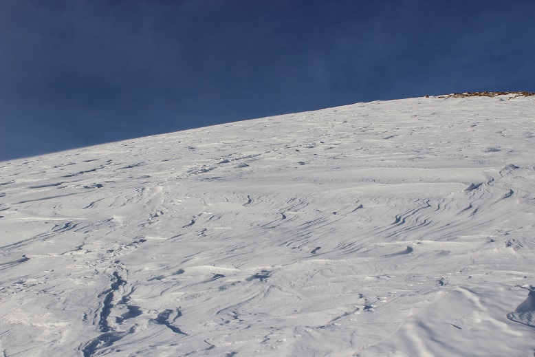
The snow had drifted in some areas, and snowshoes were helpful.

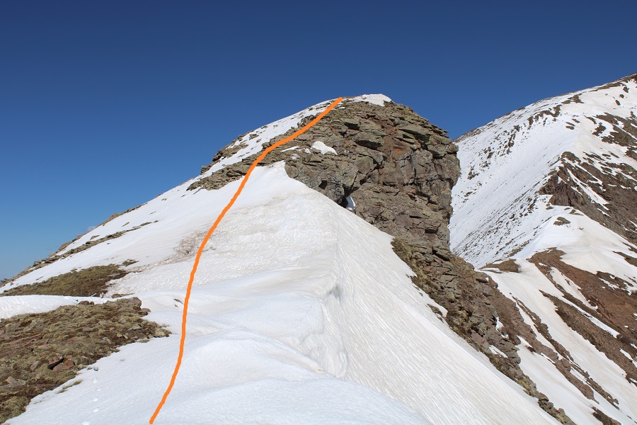
I went straight up and over this, using snowshoes in the beginning, and then taking them off to scramble up the rock.

Here I dipped down to the right to navigate the rocks, and then quickly re-gained the ridge

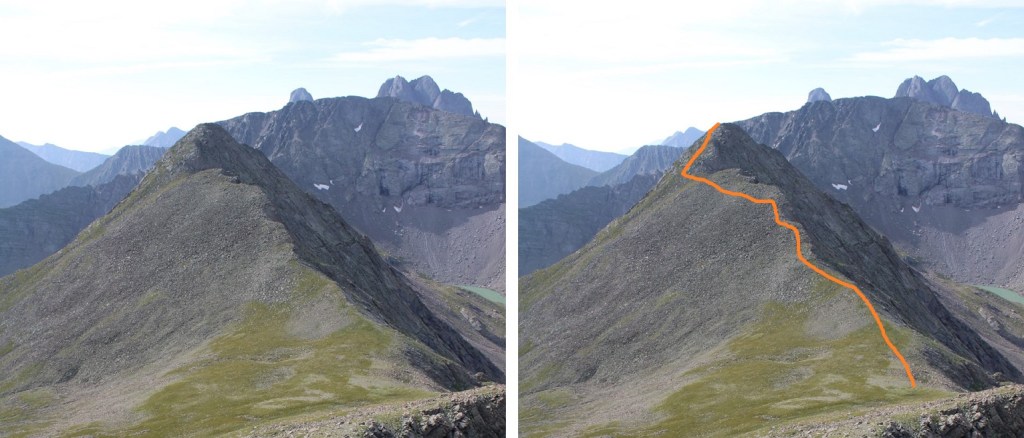
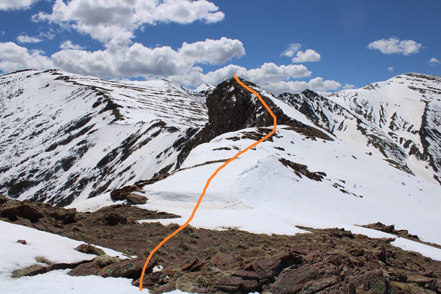
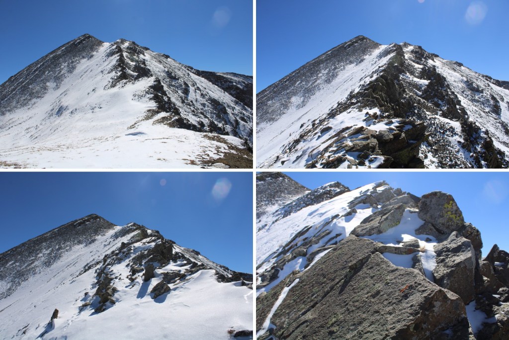
Here are the next few obstacles, and the path I took.  If I didn’t stay directly on the ridge, I dipped to the right.

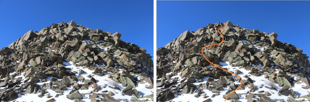
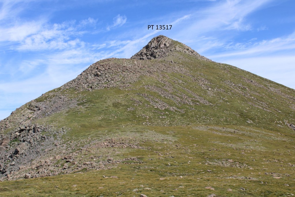
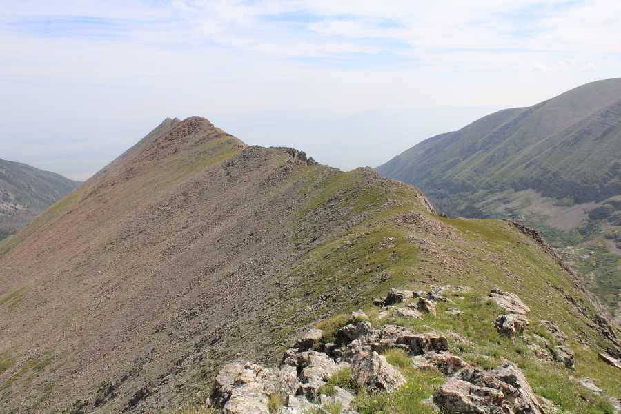
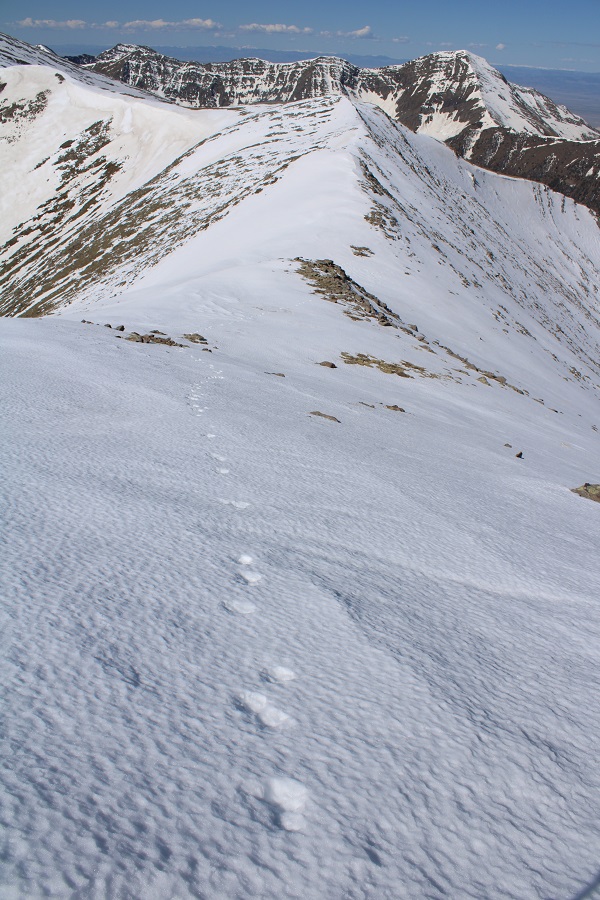
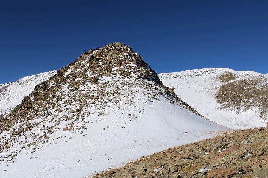
I kept aiming for the highest point on the ridge

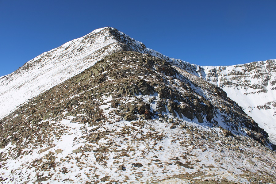
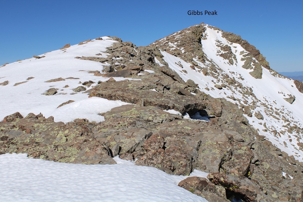
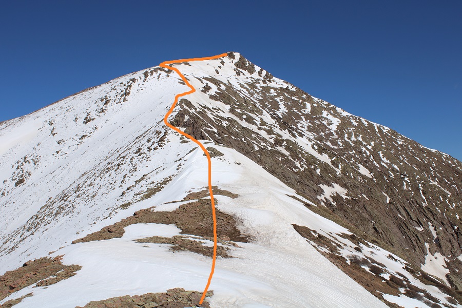
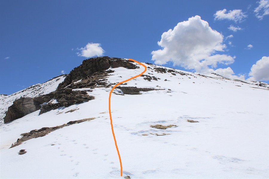
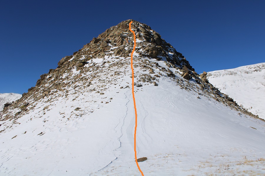
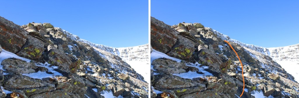
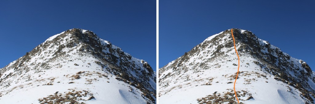
The last push was the hardest.  This was difficult class 3 climbing on the snow.  I stayed mostly in the center of the ridge

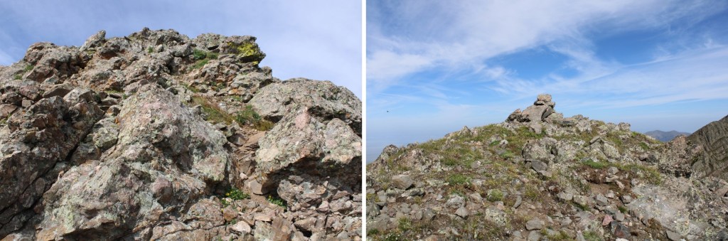
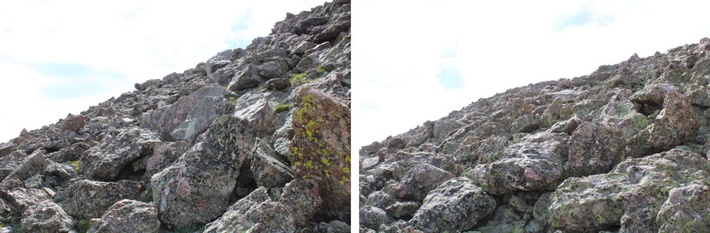
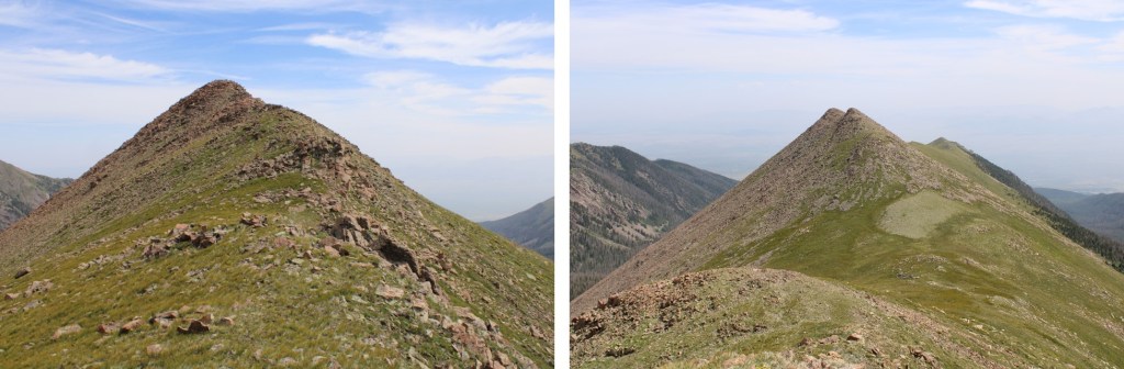
Here are some closer pictures of the class 3 scrambling to the top

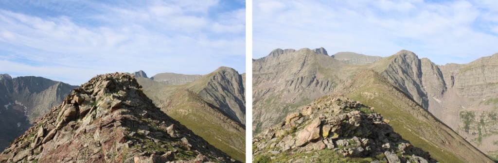
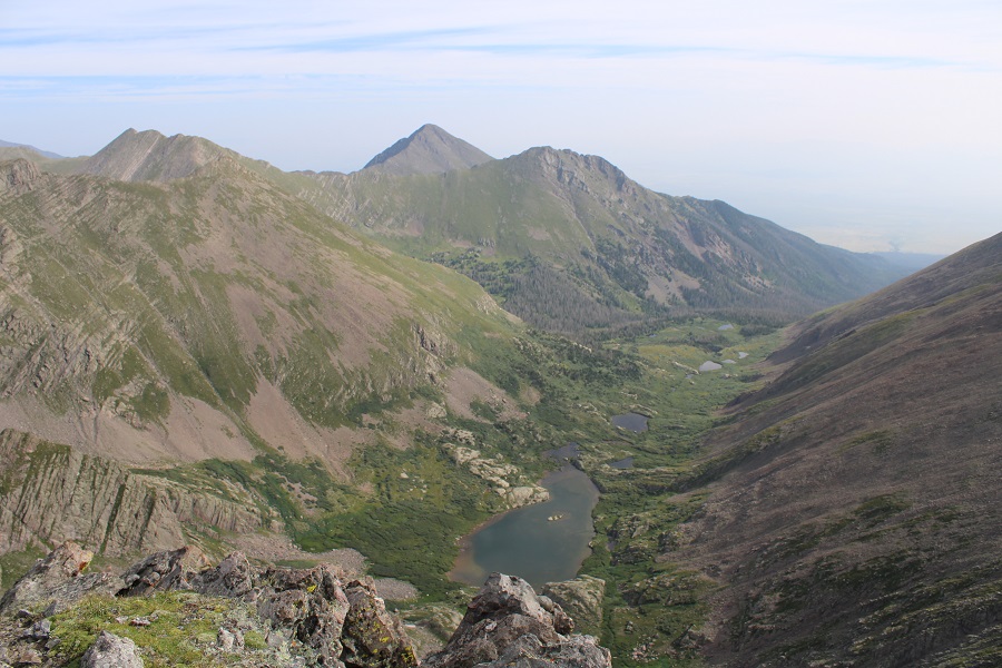
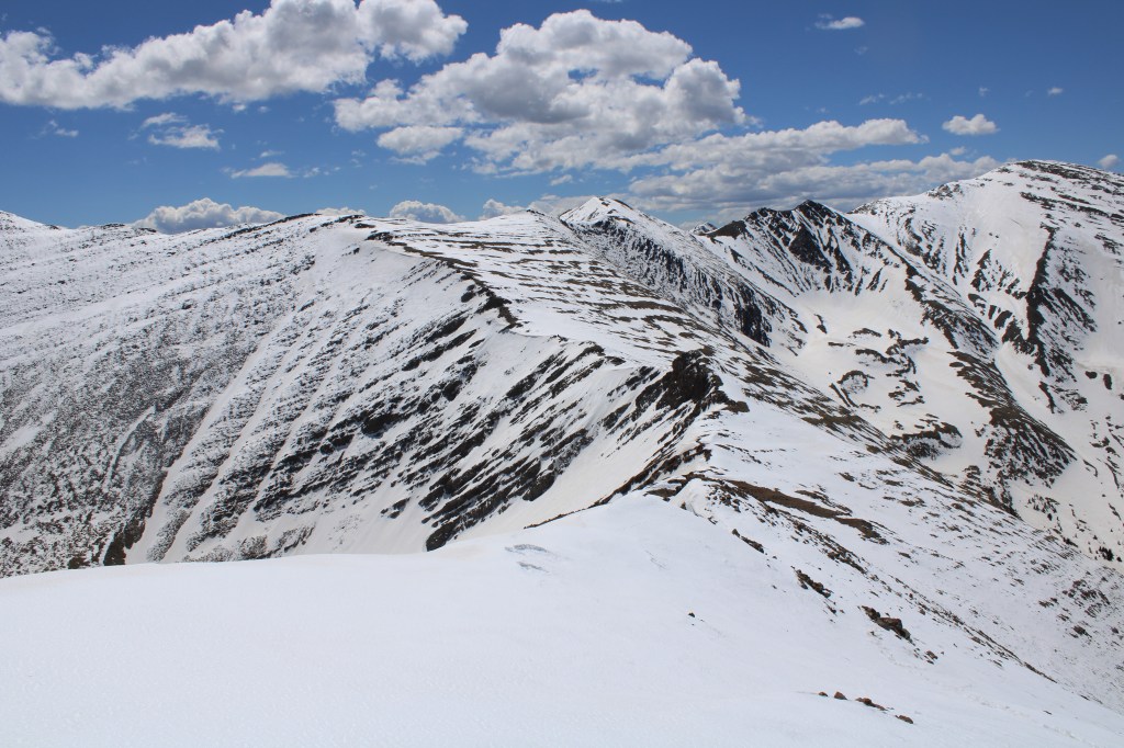
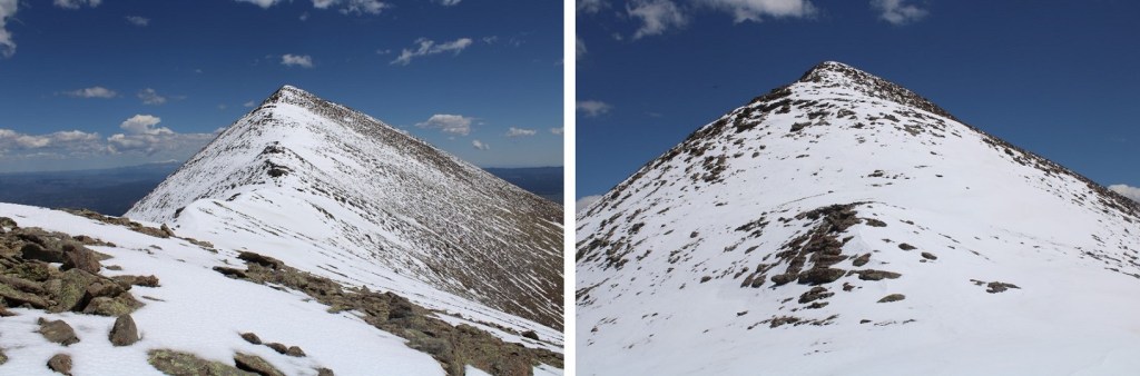
From the top, here’s looking back at the ridge

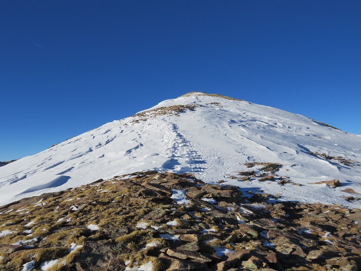
I now turned right and followed the easy ridge towards Mount Marcy

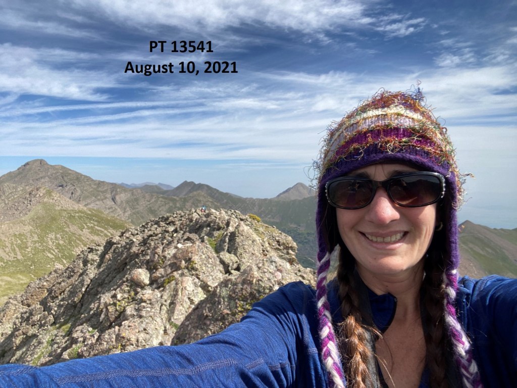
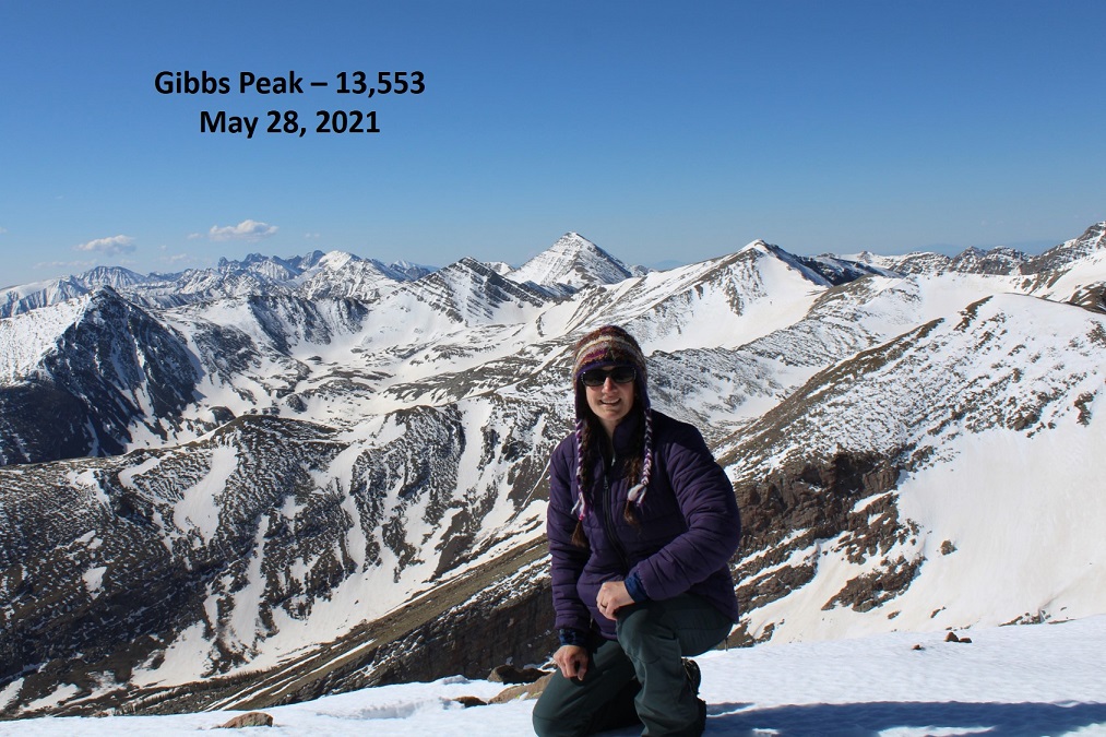
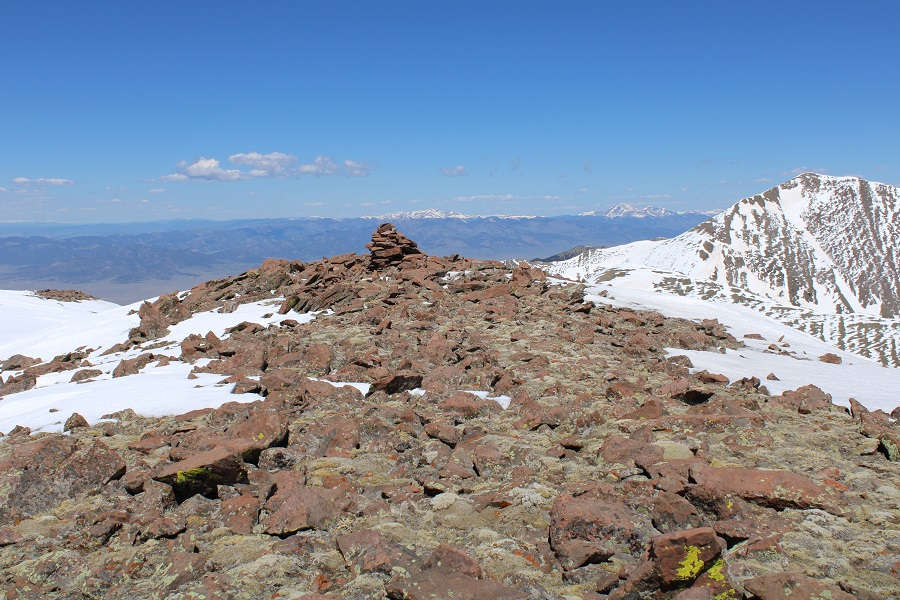
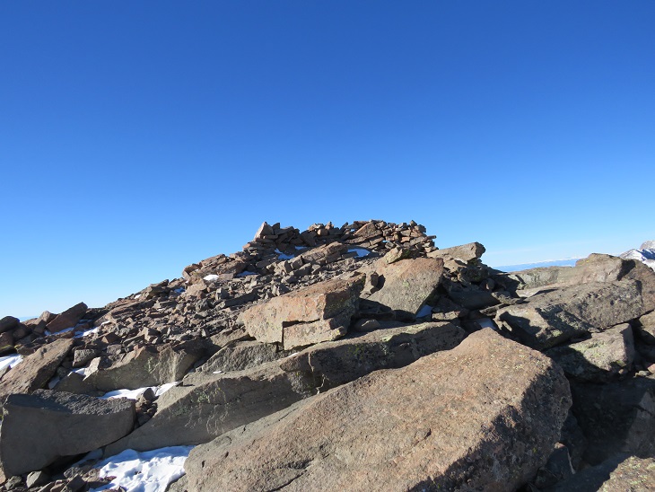
It was difficult to tell where the true summit was, and there were two cairns at the top.  I went with the one furthest north, as it had a summit register and required me to pass the first cairn, thus ensuring I’d hit the summit at some point. 

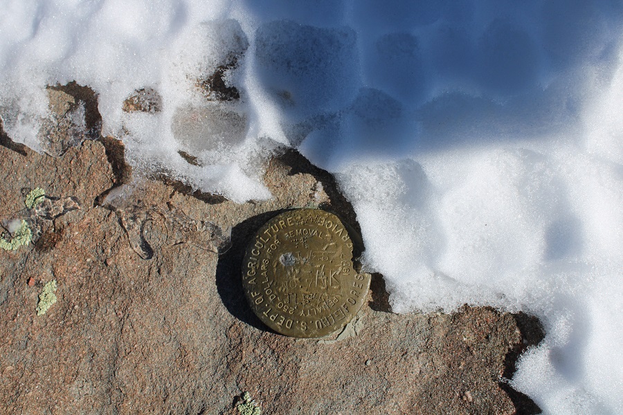
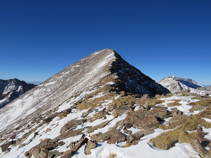
I summited Mount Marcy at 11:40am
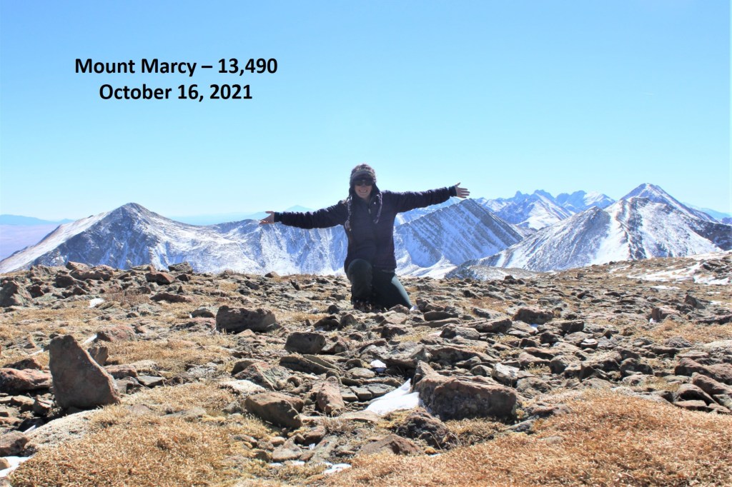
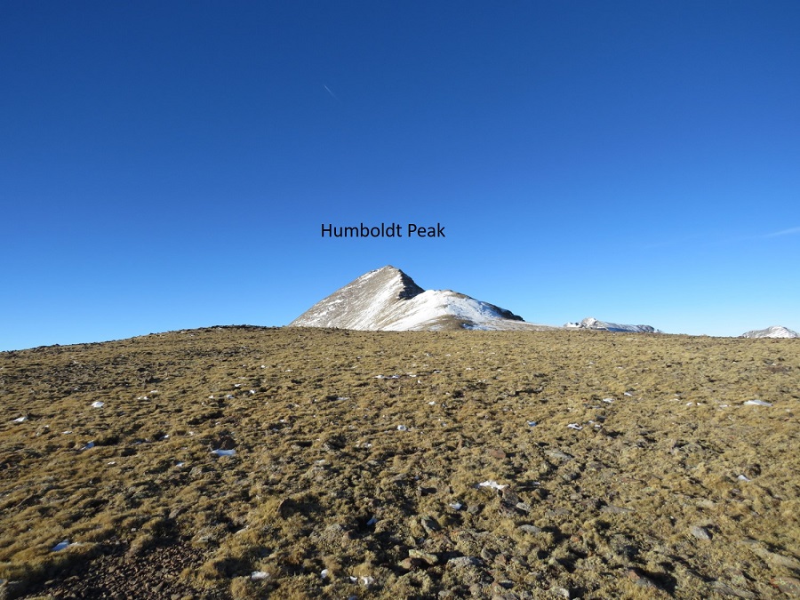
Mount Marcy:

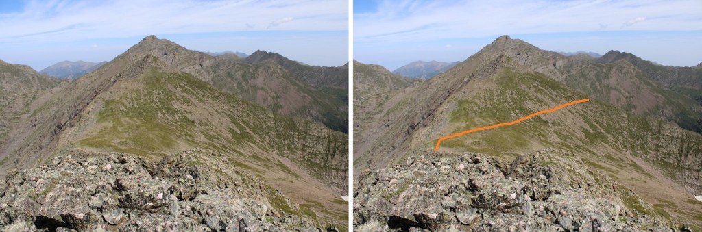
I headed back the way I’d come, and headed towards Silver Peak.  I didn’t re-summit the high point, but skirted it to the right on easy terrain

And then followed the ridge to the saddle

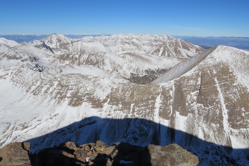
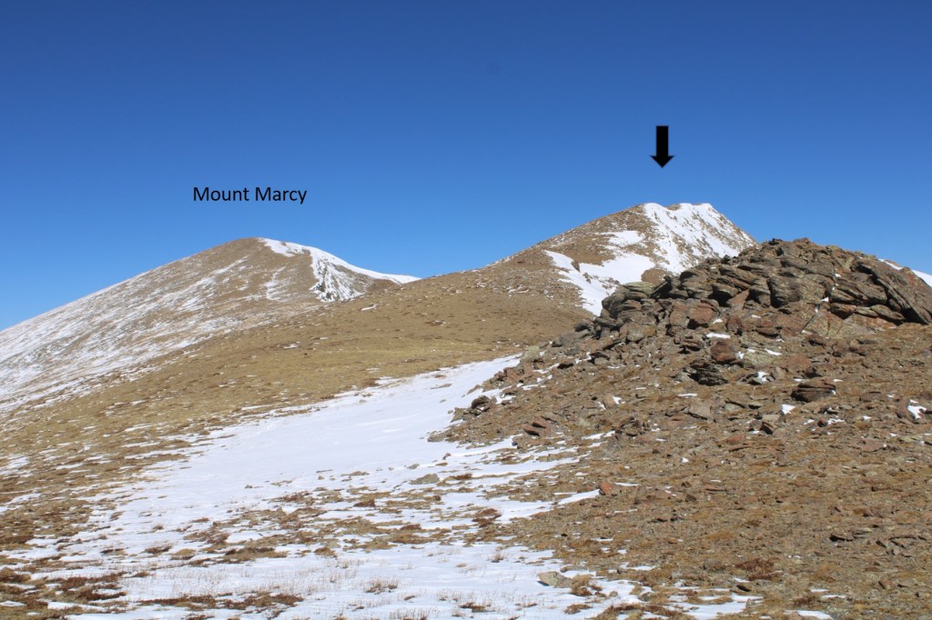
Here’s looking back at Mount Marcy.  The black arrow is how I accessed the ridge

But now, to continue towards Silver Peak

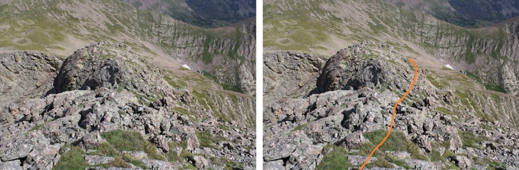
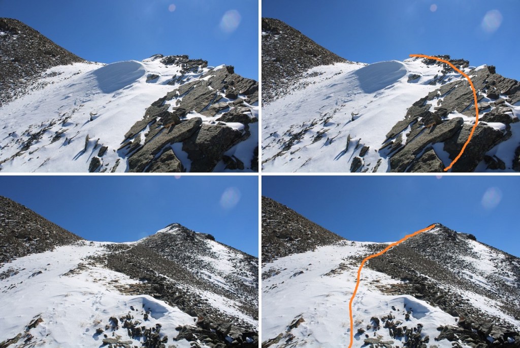
I made it to the saddle, and picked my route. By sticking to the very top of the ridge I was able to keep this class 3, although there were some tricky moves with the snow. Here’s the route I took

And some closer pictures of the ridge

Topping out of the ridge was class 2

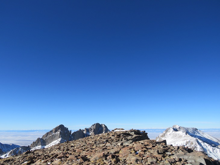
I then headed south towards the summit

I summited Silver Peak at 1pm
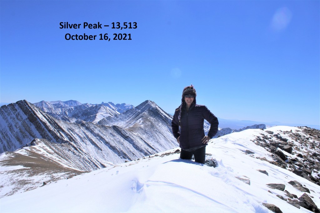
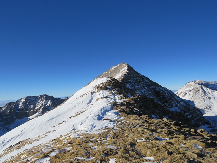
Silver Peak:  

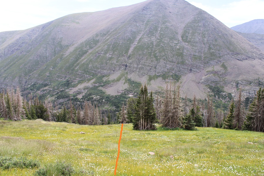
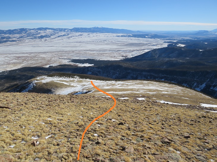
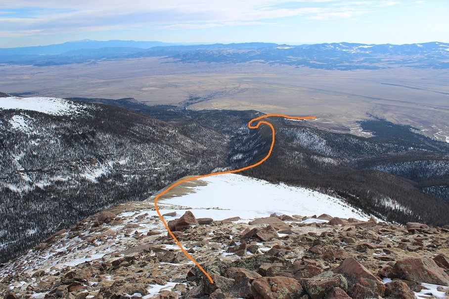
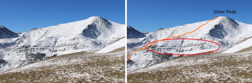
I was making this a loop, so from here I wanted to descend into the Lakes of the Clouds basin.  To do this I followed the ridge about 50 feet south, then turned left and headed east.  It’s important to follow the contour of the ridge, as it cliffs out if you go too far north.  Here’s a visual from earlier in the day.  You’re trying to avoid the cliffs I the circled area

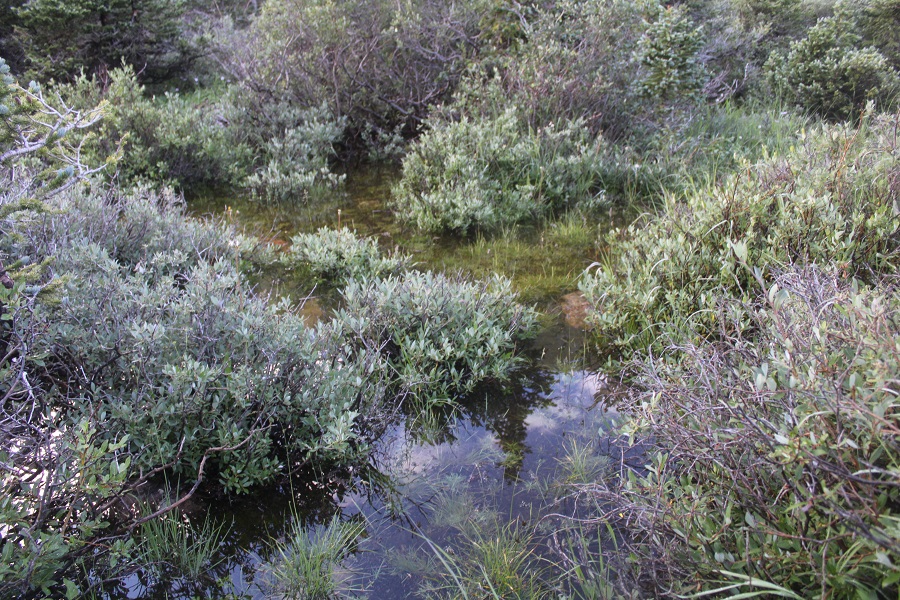
Please note:  I’ll show you how I made it down to the Lakes of the Clouds, but I do NOT recommend this as a winter/winter conditions route, and it’s probably not ideal in summer either.  There was snow in the top of the avalanche chute, and it was mid-October.  The gullies were unstable and difficult to navigate while covered in snow, and it was hard to find a direct route down.  The only positive was the creeks were low, so I was able to walk directly in them to avoid the willows.  (Willows:  another reason to avoid this route, just go back and take the ridge down). 

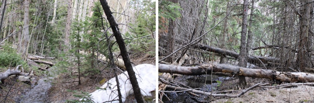
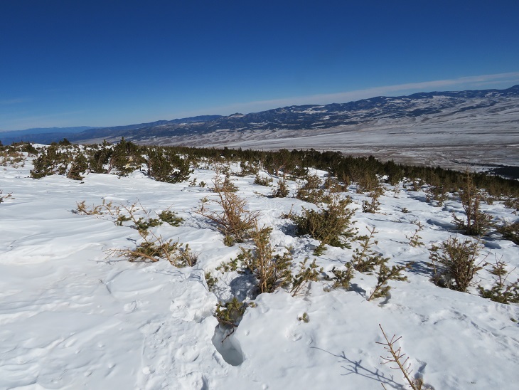
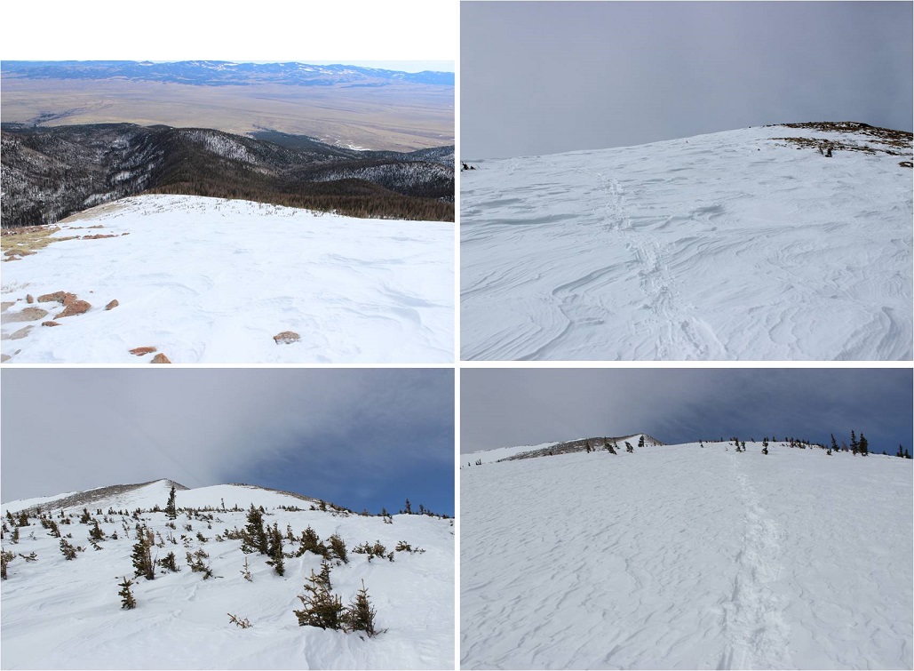
I made my way into the basin, first heading south, and then east

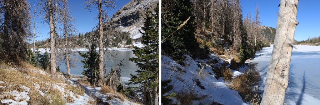
Once I could see them, I was aiming for this lake, where a trail would pick up

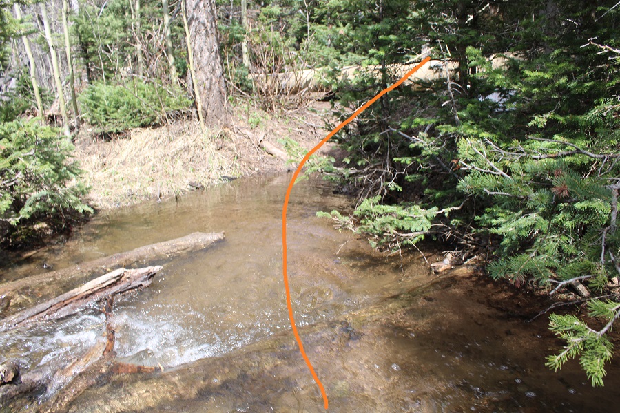
The route required me to cross/use an avalanche route/drainage area.  To navigate this, I stayed as high as possible, once crossing the drainage

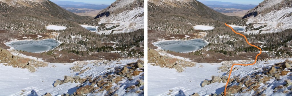
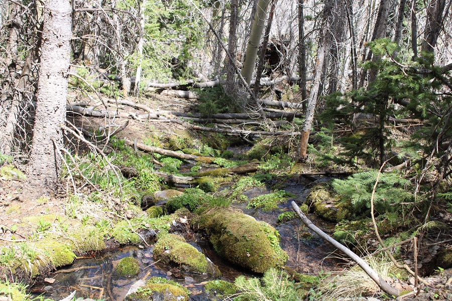
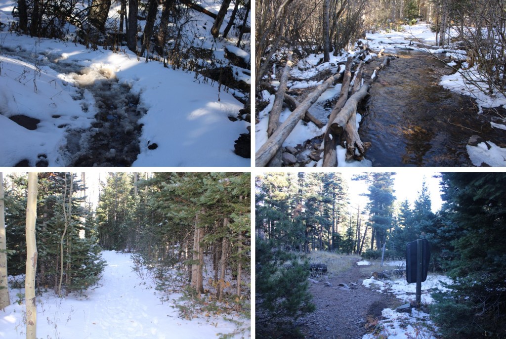
I stuck to the stream whenever possible, which would ultimately lead to the lake

I have to say, this part of the hike was miserable.  I had to watch every step, and took considerable time dusting snow off rocks to make sure I had secure hand/foot placement.  It was getting later in the day, so snow stuck to my microspikes.  I lost a spike somewhere along the way… probably in a stream crossing, as the snow that had built up on my foot became engorged with water, much as a snow cone would when adding syrup, became heavy, and slushed into the muck.  Long story short:  my feet were wet the entire hike back to my truck.

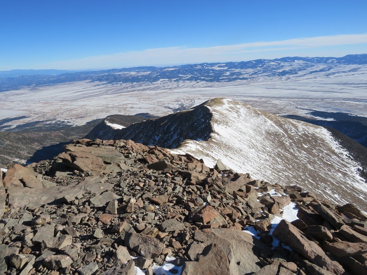
Here’s looking back at how I came down from Silver Peak.  The top of the avalanche area is circled in red, and flows all the way to the lakes

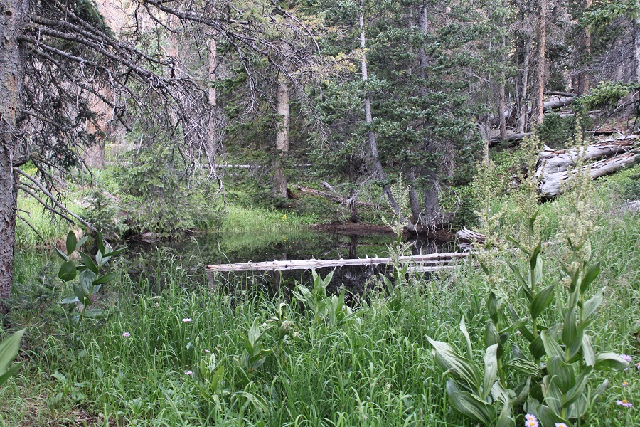
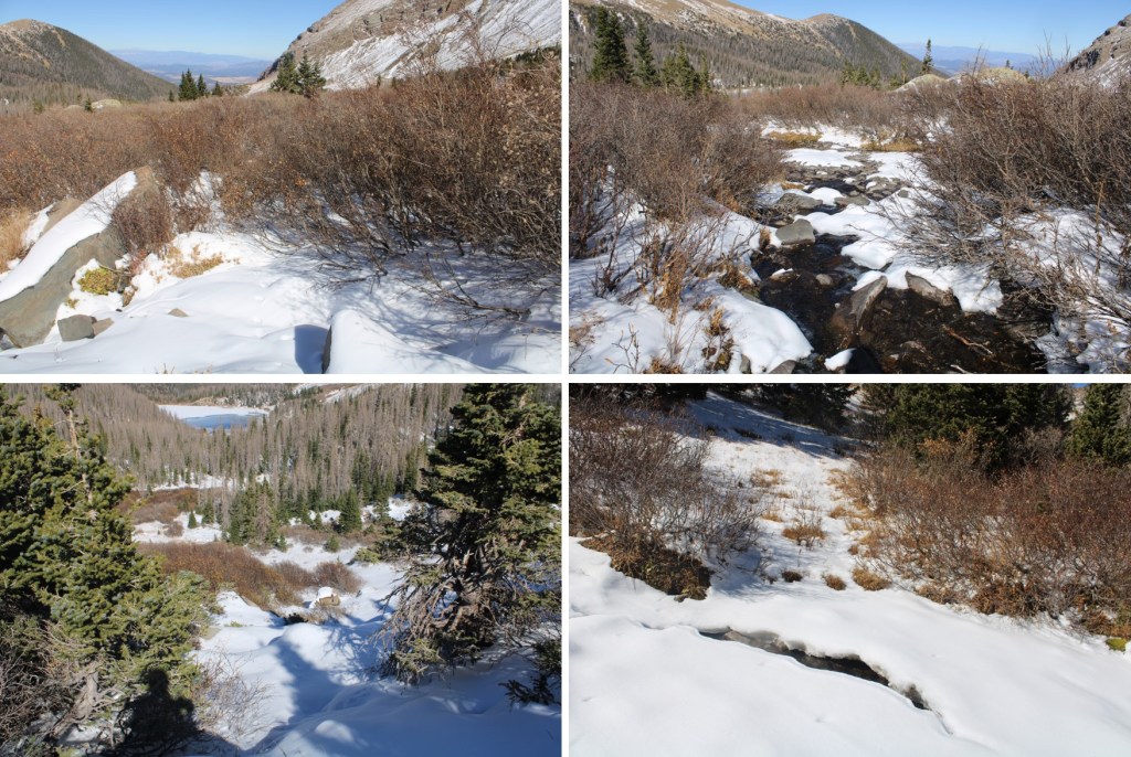
I skirted the lake to the left and at the north end of the lake came upon trail 1349, which was packed down this morning by fishermen heading to the lakes

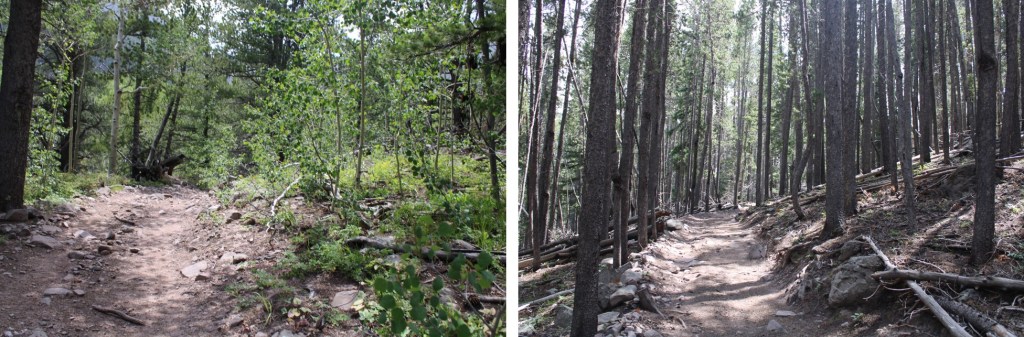
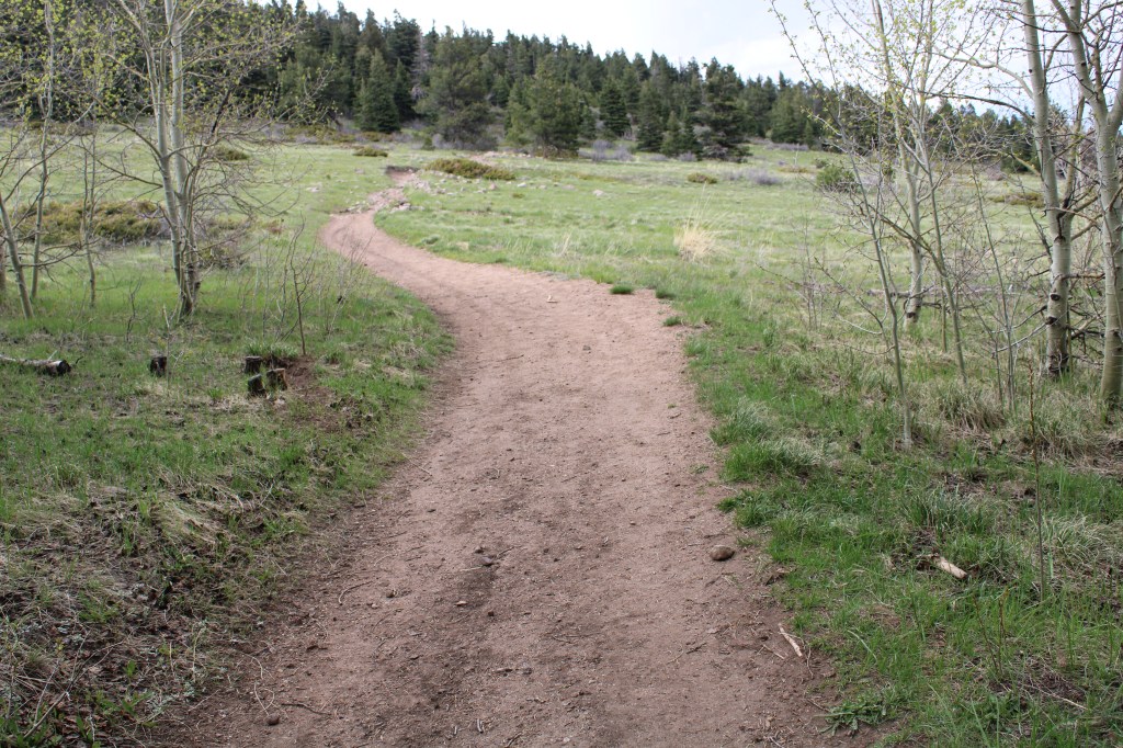
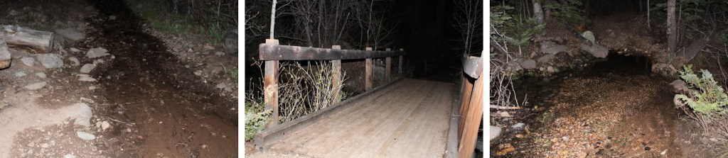
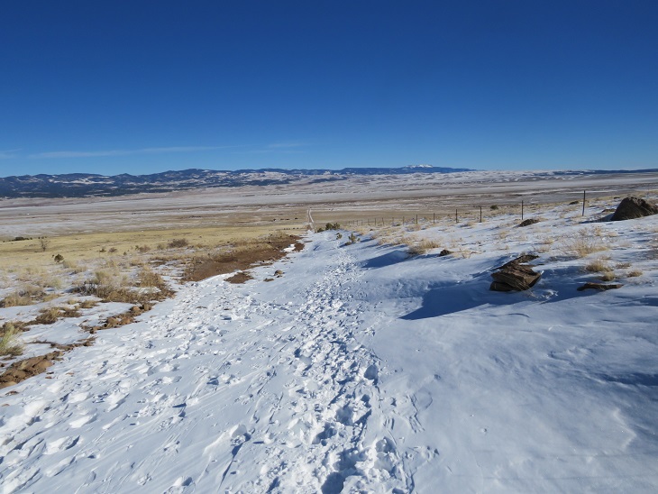
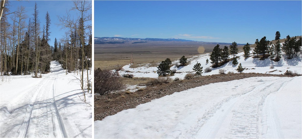
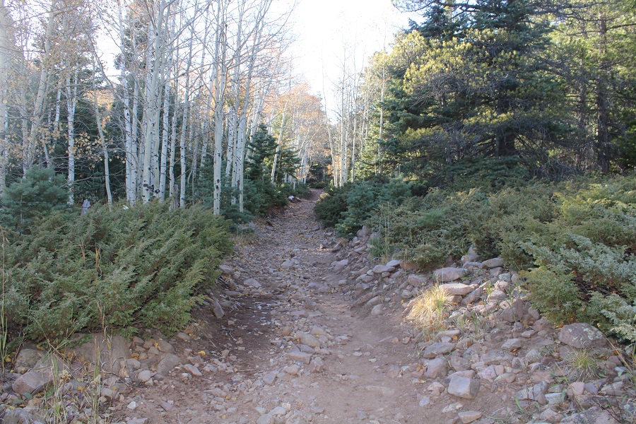
I took Trail 1349 for 3.75 miles, back to Trail 1336, and the to the Gibson Trailhead.  This is a great, class 1 trail.  The only downside are all the softball-volleyball sized rocks littering the path

I made it back to my truck at 4:30pm, making this a 16.6 mile hike with 5573’ of elevation gain in 11 hours.

PT 13543, PT 13533 & Little Baldy Mountain – 12982

RT Length:  19.45 miles

Elevation Gain: 5950’

Route: Horn Creek Trailhead via Macey Trail

I was here last week and summited PT 13541 via Horn Lakes Trail, and to put it nicely, it was awful!  Once the trail ended at the creek crossing (Dry creek, which was flowing fast), I was met with hundreds of feet of 8-foot-tall willows to navigate, standing in about 18 inches of standing water.

There was no way I could recommend that route, so I went about trying to figure out another one. While this route is a bit longer, bonus: no willows in water!!!

I parked at the Horn Creek Trailhead and was on the trail at 4:30am.  The trailhead was full of vehicles (last week I was the only vehicle in the lot). The trail starts at the west end of the parking area, which holds about 20 vehicles. There are information maps here and a clean restroom. Dispersed camping is allowed for 14 days, and there are horse corrals.

I followed the Rainbow Trail for just under half a mile to this junction, then turned left and continued following Rainbow Trail / Macey Trail.

This trail is very well defined:  it’s used for OHVs.  I followed the trail as it hugged the side of the mountain, heading south

After hiking for a total of 3.3 miles I came to another junction, and took the Macey Trail west. This trail is a little more narrow, but still class 1.

There’s a trail register a ways after the junction. I signed it and continued on.

Just after Macey Falls, and just before making it to the first Macey Lake, I left the trail and headed northwest.  I’d hiked 6.5 miles total to this point. I’m guessing this is a camping area, because I left the trail at this marker (seen on the right side of the trail).

If you see this sign, you’ve gone a couple of yards too far.

I bushwhacked northeast to treeline, about half a mile. This wasn’t too bad: there were downed trees, but not too many. I was mostly pushing my way through thigh-high flowers and grasses. I started out by skirting a small pond to the right.

And then hiking up through grasses, flowers, and trees.  The elevation gain was moderate and I never came across a large obstacle (cliff, water, drainage, huge boulder, etc.)

After about half a mile I was at treeline, and could clearly see the ridge

I made my way to the ridge, staying mostly on tundra and rocks.   The willows are small and completely avoidable.

Once on the ridge I turned left, and followed it southwest

The ridge has a lot of ups and downs.  I crossed over two small bumps (kind of like ears), then lost 150’ of elevation and gained it again to the true summit of Little Baldy Mountain.  This is the best way to describe where Little Baldy Mountain is (an unranked 12er).  There is a cairn on the first hump, but it’s the second cairn you’re looking for (if it really even matters? It is unranked.  Just follow the ridge and you’ll hit it).

The ridge is a bit rocky, with some tundra thrown in, and all class 2. Here you can see the route to PT 13517 and 13541

Here’s an overview of the route I took.  I summited PT 13517 first, then took the ridge to PT 13541, and then went saddle to saddle. 

Here are some step by step photos. First, the ridge to PT 13517

The ridge was mostly tundra, but became rocky at the end.  All of the rock above treeline feels like Crestone rock:  conglomerate with lots of hand holds. The only difference is these are rocks, and not slabs. This stays class 2

I summited PT 13517 (unranked) at 9:15am

PT 13517:

Here’s looking back at the ridge and the route in

Here’s looking back at the Horn Creek approach: Look at all that water and willows!!!

Now to head over to the ranked peak of the day: PT 13541. Check out those Crestones!

The trek over to 13541 was straightforward, and a simple ridge hike until the last bit or so (circled in red)

I hiked down to the saddle and enjoyed the views for a bit. Doesn’t Kit Carson Peak look like a cooked (or uncooked) turkey from this angle?

From the saddle, here’s looking up at 13517

Most of this ridge to PT 13541 is just a tundra hike, until the end, where it becomes rocky and there are some steep drop offs to avoid. Here’s an overall view of the route: A little more than half way up the ridge I left the ridge and skirted the mountain to the left to head towards the summit

The ridge gets a little rocky, but this stays class 2

Just when you think you’re at the summit…

You’re close, but not there yet.  I had my helmet with me but decided it wasn’t really necessary. I dropped my gear and headed towards the true summit. This was easy class 3, with plenty of hand/footholds.

You can stay on top of the ridge the entire time, or dip down to the right.  The summit is in the middle of this short ridge

I summited PT 13541 at 9:55am I didn’t feel safe setting up my camera, so I took a selfie

PT 13541: 

I left a summit register, and then went back to get my gear.

It was a really nice day, so I enjoyed my time here for a while. I took a ton of fun photos, and did some visual research for another peak I still need to figure out how to climb in the area (next week???). When it was time to head back, I made my way back to the 13517/13541 saddle the way I’d come, then traversed over to the 13517/Little Baldy Mountain saddle.  This was all class 2 on tundra and talus

Here are some more visuals: 

From the saddle, here’s looking back at PT 13541

Once at the saddle I followed the ridge back up and over Little Baldy Mountain and the two small humps

After the second rocky hump I left the ridge and descended southeast, back towards Macey Lakes

Once in the trees I just kept aiming southeast until I made it back to the trail (Macey Trail 1341)

Now on the trail, I followed it back to the Rainbow Trail

And then followed the Rainbow Trail back to the trailhead

I made it back to my truck at 2:30pm, making this a 19.45 mile hike with 5950’ of elevation gain in 10 hours.

Gibbs Peak – 13,577 and De Anza Peak – 13,362

RT Length:  20.02 miles

Elevation Gain: 7343’

I drove to the Gibson Creek trailhead the night before, concerned I wasn’t going to get a spot to park on Memorial Day weekend.  Imagine my surprise when I was the only one there.  Two more vehicles would join me later, but I was genuinely amazed the trailhead wasn’t more crowded: there’s great dispersed camping here.

Bonus:  no mosquitoes!  I spent the next few hours relaxing, making dinner, sipping whiskey, and reading, before making it an early night.  

(It was, in fact, a long night, full of nightmares.  I’ll spare you the details, but let’s just say they involved frantic mothers holding their decapitated babies, pleading for help and saying there was a horrible accident, and a demon that took over the body of a frail child: the demon needed to die, but doing so hurt the child.  Not fun when you’re camping all alone.  I woke up around 2am and knew if I went back to bed my nightmare would continue, so I tried to think about other, happier things before starting out on my hike in the dark.  What’s happier you ask?  I have 3 kids.  I told myself when I got a divorce in 2012 I wasn’t going to date seriously until my youngest was 18 and had graduated High School.  Well, she graduated this week, and is off to college, so I spent the next hour trying not to think about the nightmare I’d just had, and instead thinking about what I was going to do about dating, whether or not I really want to at this point, and realized I haven’t ‘dated’ since the 90s, and it’s certainly changed.  It’s weird to be 40 years old and an empty nester.  So, how y’all dating now?)

But I digress.  Knowing it was going to be a long day, I was on the trail at 3am.

The trail starts at the north end of the parking area, and heads west for .1 miles before turning right and following Rainbow Trail 1336 north.

I followed Rainbow Trail as it wound around the east side of the mountain for 3.25 miles, crossing several creeks along the way.  One creek crossing even had two bridges to make the crossing easier (the other areas had shallow enough water where bridges weren’t necessary).  There was about a mile of the trail deep in spring conditions, with runoff covering the trail.

After 3.25 miles I came to a junction, and took Trail No. 1350 left (west) towards Texas Creek Basin. This is where my flashlight went out and I was glad the sun was starting to rise. 

Note:  Trail 1350 is not a maintained trail.  I was hiking it in the dark at this point, and there were so many downed trees I kept getting off route trying to go around them (going over them wasn’t always practical).  It wasn’t much better in the daylight.  I decided to gain the ridge as quickly as I could, and follow it west to treeline.

It took me 2.75 miles, and 2000’ of elevation gain to make it to treeline.  It was here I experienced the worst and most extensive bushwhacking I’ve ever encountered.  It was like hiking up through avalanche debris (although it was obvious the wind had knocked the trees down).  The ridge was either dense with new growth, or a jungle gym of downed trees.  I would not recommend this route, and I told myself I’d take Texas Creek on the way down (note:  I later realized I would not recommend the Texas Creek route either).  There was a small but raging creek to ford early on, and then it was straight up the ridge.

After hiking for a total of 6.75 miles I came upon 100 yards of mashed potato snow.  I strapped on my snowshoes and kept heading west towards treeline.   The snow kept starting and stopping again.  On my way up I kept my snowshoes on.  On my way down I misremembered how long the snow section was and kept taking the snowshoes off, just to need them again.

Once at treeline there was a small amount of snow to navigate, and then I was able to avoid most of the snow to the summit.

One good thing about the hike above treeline:  there are no false summits to Gibbs Peak.  What you see is what you get.  As long as you keep heading west and gaining elevation, you’ll make it to the summit.

I made it to the summit of Gibbs Peak at 9am, after 6 hours and 8.25 miles of hiking.

Gibbs Peak:

There was a benchmark on the summit.  I took off my pack and realized I’d lost my water bottle somewhere.  That’s what I get for not strapping it in.  No matter, there was plenty of snow if needed.  I’d have to look for my water bottle on my way back down.

There wasn’t a summit register, so I left one.  I had a great view of De Anza Peak to the northwest. 

In order to get to De Anza Peak I had to head southwest to point 13227, and then northwest to the summit of De Anza.

This part of the hike was actually quite fun, as I was now losing elevation, getting a little bit of a break, and following animal tracks the entire way.  

When I made it to PT 13227 I turned right and headed followed the ridge northwest.  You can’t tell from these pictures, but I was actually downclimbing a bunch of rocky areas.  On the way back I stuck to the areas covered with snow, as climbing up the rocks, especially in snowshoes, was a little too spicy for me without a helmet.

There was still more elevation to lose however.  Here’s an overall view of the route to the summit

From this point on I needed snowshoes, as I began postholing up to my waist.  I strapped them on and followed the ridge.  Here are some step by step pictures.  I went straight up and over this hump

Then mostly stuck to the ridge, aiming for the gullies to my left just before the summit

Once up the short (30-40 feet or so) gullies I followed the windswept ridge to the summit

I summited De Anza Peak at 10:40am

De Anza Peak:  

Here’s looking back at the route from Gibbs Peak

I left a summit register and started back.  While it looks like a simple ridge hike back to Gibbs Peak, the areas without snow are actually rock formations, and I needed to skirt them on my way back. 

I made it back down to the saddle, and went up and over the bump in the ridge again

Then skirted the rocks to the right, staying on the areas with snow

Then it was a simple ridge hike back to the summit of Gibbs Peak

I re-summited Gibbs Peak, then followed the ridge east back to treeline.  I looked for my lost water bottle, but was unable to find it.  (If you find it, it’s yours!)

This time, when I entered the trees, I stayed right.  It was my intention to avoid all the bushwhacking I’d one on the way in by taking trail 1350 out.  I once again encountered the mashed potato snow at treeline

And at 10,600’ I descended towards Texas Creek. 

I was highly disappointed to find this area was no better than the way I’d taken on my way in.  In fact, it may have been worse:  at least when I was on the ridge, I had a sense of direction. Now I was unable to find a distinguishable trail, so I followed the creek east out of the basin. 

At one point I realized the creek was actually the trail, or what used to be the trail. 

Eventually the trail became a bit more distinct, although still covered in water and downed trees.  Just know if you’re following the creek east, you’re going in the right direction. 

I had to eventually cross the creek, and to do so I needed to take off my shoes.  I crossed the creek, and here the trail picked up again.  From the creek crossing Trail 1350 was much easier to follow; there wasn’t any water on the trail, but there were still downed trees. 

From the creek crossing it was just over a half mile to the Rainbow Trail / Trail 1350 junction, where I picked up the Rainbow Trail again and followed it back to the trailhead.

I made it back to my truck at 5pm, making this a 20.02 mile hike with 7343’ of elevation gain in 14 hours. 

So, which approach is better, the ridge or the creek?  If I had to go with one, I’d say the ridge, just because I had a better sense of direction.  Both were miserable. 

Humboldt Peak in Winter

RT Length:  14.02 miles

Elevation Gain: 5562’

This was my third time hiking Humboldt, but my first time in calendar winter.  The last time I was here there was a terrible wind that was causing the snow to become clouds, and I couldn’t see the summit when I arrived (or my own 2 feet). This time I was here for better pictures of the route, and to count it as an official snowflake.  I arrived at the South Colony Lakes lower trailhead and was the only one in the lot when I parked my truck.  I put on my gear, using only microspikes as my footwear, and was on the trail at 4:30am.  As usual in winter, the snow started just past the 2WD parking area.  I always find it amusing to see how far the tire tracks try to go up the road.  This time, they didn’t go far.

The snow on the road started right away, but there was a good trench. I followed the road for 2.3 miles to the junction with Rainbow Trail.  It was still dark out, and as I rounded the last corner of the trail where I could still ‘see’ the trailhead I noticed there was another car parked there.  It seems there would be hikers about a mile behind me today.  Also, my flashlight started flickering.  Time to change the batteries!

At Rainbow Trail the trench spiked, one side going towards Marble Mountain, the other towards Humboldt Peak’s East Ridge.  There weren’t any tracks headed further down the road to South Colony Lakes.  I turned right and followed Rainbow Trail for .5 miles. 

I quickly came to a bridge, then took the trail to the top of a slope

At the top of the slope I was thrilled to see there was a trench in place leading up the ridge.  Last time I did this hike I’d had to trench it myself, and it had taken quite a bit of work.  Today, I was going to poach someone else’s trench!  Woot!

And what a trench it was!  I followed it as it for 2 miles as it ascended the east side of the ridge, all the way to treeline.  Here’s an overview of the route up to Humboldt Peak

If you keep heading west and stick to the rib/ridge, it will take you to treeline.  I could hear the wind above the trees, and got a bit anxious for the above treeline part of the hike.

As I hit treeline the sun started to rise.   I took a few minutes to enjoy the view.  (side note: there were a lot of rabbit tracks here)

The trench ended near treeline.  I could see where it was supposed to go, so I kind of re-trenched it as best I could wearing just spikes.  

Here’s the general overview of my route up the ridge

The wind had been intense all morning, but once I was above treeline it became difficult at times to even stay upright.  So much for the forecased 11-17mph winds!  I’d started early to avoid the most intense winds that were supposed to start around 11am, but it seems they started a little early.  I had to hunker down at times and turn away from the wind, which turned the snowflakes into glass, and was side-stepping as I hiked just to stay in a straight line.  I tried to take pictures, but unfortunately, wind is invisible.  I kept my gloves on and was glad I’d put on my balaclava at the trailhead.  Here are some pictures of the ridge. 

Here I noticed some bighorn sheep in the distance.  They also noticed me and trotted off.

At the top of the ridge was another ridge, so this had been a false summit.  Here’s the actual summit of Humboldt Peak.  It’s a straightforward ridge hike to the summit, nothing above class 2.

Here are some pictures of the ridge.  There was some snow, but it was all firm enough not to need traction

On this part of the ridge the wind really picked up.  I had to hide behind rock structures to get out of the brunt of it, and the noise it made as it came up and over the rocks was creepy.  The balls of my feet were frozen at this point (due to Raynaud’s) and it felt like I was walking with large rocks in my shoes (I wasn’t, it was just the ball of my foot that had frozen).  Several times I hunkered down to maintain my balance, but it was still a straightforward ridge hike.

I knew I’d made it to the summit when I found the wind breaks.  I never saw a summit marker, but I don’t think there’s one here?

I’ve summited Humboldt Peak twice before, so I knew I was at the summit at the first wind break, but I walked further west for better pictures.

I summited Humboldt Peak at 9:45am

Humboldt Peak: 

The views of the Crestones/Sange de Cristo range were beautiful!

Time to head back down the ridge

The wind was still fierce, and I was worried I was getting a nasty windburn in all the areas my balaclava didn’t cover.  The wind speeds weren’t supposed to be this high, so I’d left my goggles at my truck.  Note to self:  next time, bring the goggles. On my way back down the ridge I saw the Bighorn Sheep again.  They quickly turned when they saw me and headed over the mountainside.  There was a big drop on the other side, and I was surprised I couldn’t see them again when I passed. 

This was a simple ridge stroll, or, it would have been, without the wind

Here’s looking at my route back down the ridge to treeline

Here I met some hikers heading up.  The wind had died down considerably by this point, so I figured they had the better weather of the day (I found out later it picked back up again, and they said their summit was just as windy as mine).  My feet started to de-thaw, and I had a minor Raynaud’s attack:  think insane pins and needles as the blood started flowing again.  It lasted about 30 minutes, and to combat it I just kept hiking.  On a positive note, I could feel my toes! Finding my tracks back to the trail was a bit of a challenge, but I came across them eventually.

Then I followed the trench back to Rainbow Trail.  I should have put on snowshoes here, as I postholed ever 30 feet or so, but I really didn’t want to stop.  I was just glad I’d started early enough in the day not to need snowshoes (spikes worked just fine).  Anyone heading back down later than me would need snowshoes. 

Once back at the trail I followed it a half mile to South Colony Lakes Road

Once on the road I hiked the 2.3 miles back to the trailhead, noticing a lot of dog tracks along the way. As I neared the trailhead I saw a couple walking with two beautiful dogs.  It seems they were out on a day hike, and I thought this was a great idea, as it was a beautiful day below treeline.

Here’s a look at the trailhead on my way back. Easily 2WD accessible.

I made it back to my truck at 1pm, making this a 14.02 mile hike with 5563’ of elevation gain in 8.5 hours. 

Unfortunately, when I made it back to my truck I could hear the conversation the couple with the dogs were having. The man kept cussing at his female companion, and the dogs, over simple things like an overturned water bowl.  To me there’s no need for vulgar words, and he was using multiple ones in each sentence he uttered.  I felt the urge to say something, but no one else in his party seemed to mind his behavior, so I kept it to myself.  I’m not sure why women allow themselves to be treated that way?

The Humboldt Peak Summit Sticker can be bought here

Marble Mountain A – 13,266

1

RT Length: 11.6 miles

Elevation Gain: 4682’

I’d attempted this peak a few weeks ago but had to turn back due to high winds above treeline.  Today I was ready to try again, armed with a beautiful weather forecast and a full night’s sleep.

Since I’d been here 2 weeks ago and knew it had snowed here quite a big since then I didn’t even attempt to drive to the upper South Colony Lakes trailhead. I made it to the South Colony Lakes lower 2WD trailhead at 4am to one other vehicle in the lot.  It looked as if someone was sleeping in their truck.  I got together my gear and was on the trail around 4:15am.  After hiking about 100 yards I came upon snow on the 4WD road and was glad I’d parked in the lower lot.

2

Unfortunately, it looked like someone had attempted to drive up the road in the past few days. When the road got too much snow on it they drove off the dirt road, kept driving parallel to the road, and then when they felt there was less snow went back to the main road.

3

This tears up everything people! Don’t do this!  It also looks like they learned their lesson because they got stuck in a snow drift.  I’m guessing there’s about 4 feet of snow here.  Not only did they get stuck, they tore up the road trying to get out, which will make it more difficult for drivers to make it to the upper trailhead once conditions actually improve.

4

The road in was well packed in areas, soft in others, and covered in 2-6 feet of snow. It was still dark so I kept looking over my shoulder to see if anyone drove in behind me or was hiking with a flashlight but didn’t see anyone.  I put on my snowshoes at the Rainbow Trail Trailhead.

5

This trailhead is still inaccessible by vehicle and covered in snow.

6

I had a map with me, but since I’d just done most of this hike 2 weeks ago I never took it out of my pack. From the Rainbow Trail I turned left (northeast) and followed the slope up to the ridgecrest.  Here the tracks I’d put in earlier were still in place, and it looked like a few others had been here since then, so there was a faint trail to follow

7

At the top of the slope I immediately turned right and followed the ridge. The ridge looks mostly flat, but does gain in elevation, all except for one area where it dips down a couple hundred feet and then inclines again.

8

This was supposed to be a 7-10 mile hike, with about 3500’ in elevation gain, but for some reason it felt like a lot more than that. It seemed I was below treeline for much, much longer than I should have been, yet I knew I was still on track because as the sun rose I could see Humboldt peeking at me through the trees to my right.

9

Finally (and I mean finally) I crested a vertical slope

10

And made it to treeline.

11

Here the snow was hard packed and I was glad I had snowshoes (crampons would have been necessary otherwise). I traded my trekking pole for my ice axe and started up the hill.

12

The wind picked up, and remained a steady 15mph until I made it back below treeline. In this area it was impossible to avoid the snow

13

But as soon as I was up over this hill I had the option to stick to the snow or hike on tundra instead. I was tired of the snowshoes, so I took them off and kept to the right, following the ridge.

14

The view of the Crestones and Humboldt was beautiful!

15

The rest of the route was pretty straightforward, but I was curiously more tired than I should have been for just 3500’ in elevation gain. I was seriously worried I was losing my touch, or that I was getting out of shape? As I neared the summit the terrain became more rocky and steep.  I found myself zig-zagging my way up, doing my best to avoid the random snow patch that had me post holing up to my thighs

16

I summited to some amazing views of Humboldt, the Crestones, and a bunch of 13ers!

17 crestones

Here’s my summit photo

18 Marble Mountain A 13266

It was a beautiful day, but that wind made it cold and my fingers were starting to burn so I turned around and headed back down the slope. Here’s a look at the way I came

19

Here’s what it looks like just above treeline. Snowshoes were helpful (and here I put them back on).  I appreciated the full coverage of snow

20

The ridge back once again seemed to take longer than necessary. It felt like I was in the trees forever!  I was still glad I had my snowshoes

21

The wind stopped below treeline and the temperature increased dramatically. I took off my hat and gloves and noticed my hands had some minor damage, but nothing that wouldn’t heal in a few days.  I saw a couple of early season mosquitoes on the ridge, which were easily distinguishable against the white backdrop of snow.  I made it back to the Rainbow Trail and followed it to the Lower South Colony Lakes trail, noticing the temperatures had warmed up the snow quite a bit and once again praising my snowshoes:  The road was becoming a slushy mess.

22

I fully expected to see people hiking up the trail or skinning, or something, but I never did. I didn’t see another person the entire day, and as I rounded the corner and could see the parking lot it became apparent why:  my truck was the only vehicle in the lot!  I’d had the entire mountain to myself today!

23

It had been a beautiful day to hike: Little wind, warm temperatures, and solitude.  When I checked my tracker it said I’d gone 11.6 miles and gained 4682’ in elevation in 6.5 hours.  No wonder I’d felt out of shape!  I’d expected a 7-10 mile, 3500’ elevation hike.  As I’d been hiking I’d begun to doubt my physical fitness, but these new numbers seemed much more accurate.

24

Here’s my Relive (which I like this time because it portrays the snow above treeline)

https://www.relive.cc/view/2272842012

I drove home feeling I’d gotten in a good workout today. This is a great ridge hike!