RT Length: 12.15 miles
Elevation Gain: 3516’
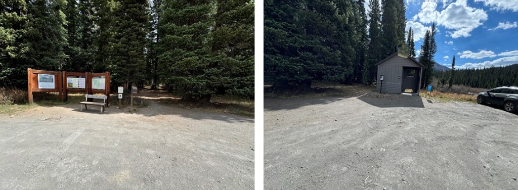
I parked my truck at the East Fork Trailhead outside of Gothic, just passed Schoefield Pass. The road in is 4WD, but a high clearance 2WD vehicle with a competent driver can make it to the trailhead. There are bathrooms at the trailhead, and spaces for about 20 vehicles.
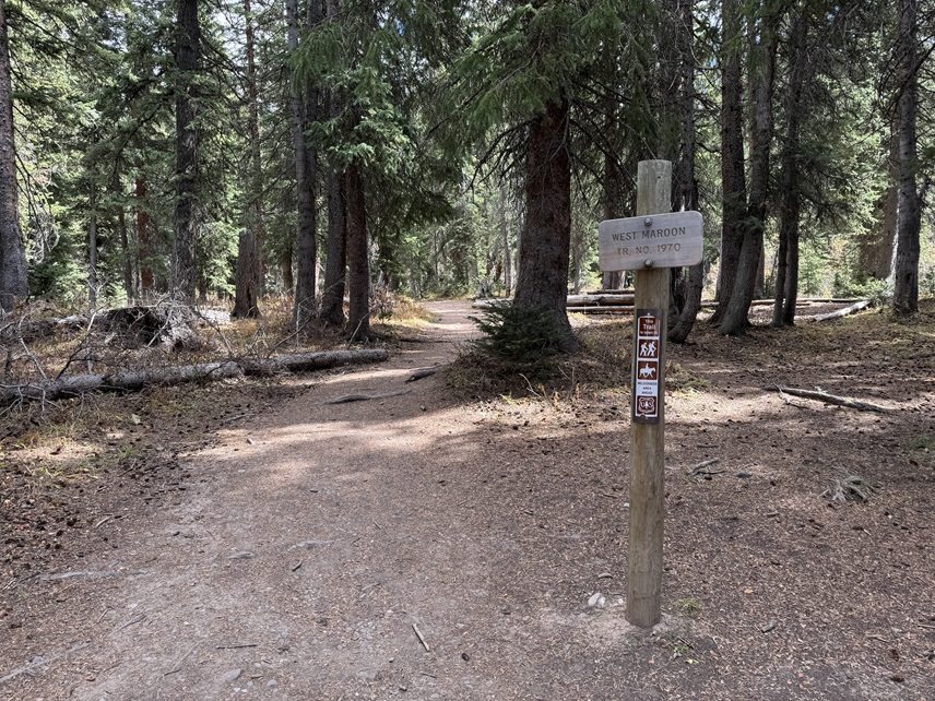
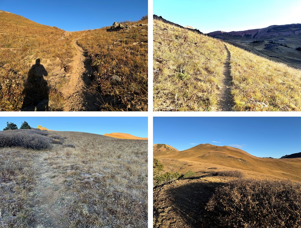
I was on the trail at 7am, following West Maroon Trail 1970
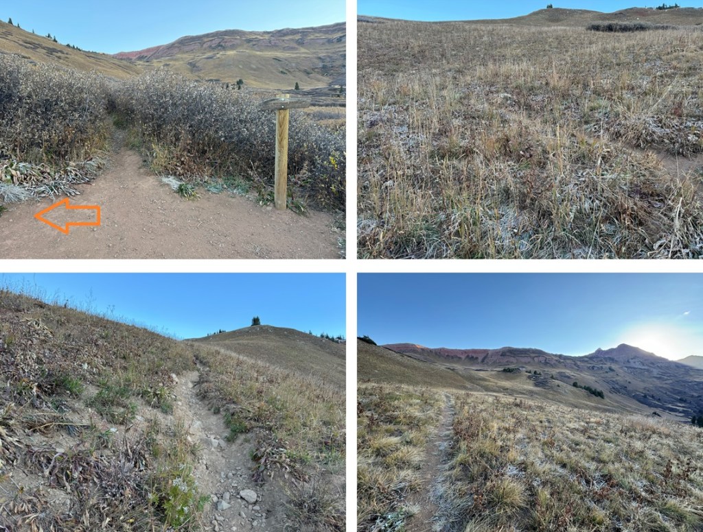
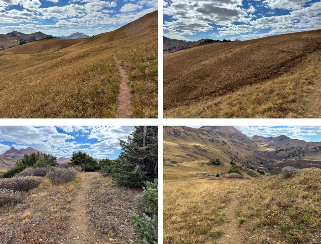
I stayed on this trail for about 2.2 miles. The trail began at treeline but quickly turned to tundra.

After hiking for about 2.2 miles, I came to a sign that said “West Maroon Pass”. Here there was a trail to the left that was unmarked. It’s trail 1974. I took that trail as it switchbacked northeast up the hillside.
I was headed for Frigid Air Pass on this class 1 trail.
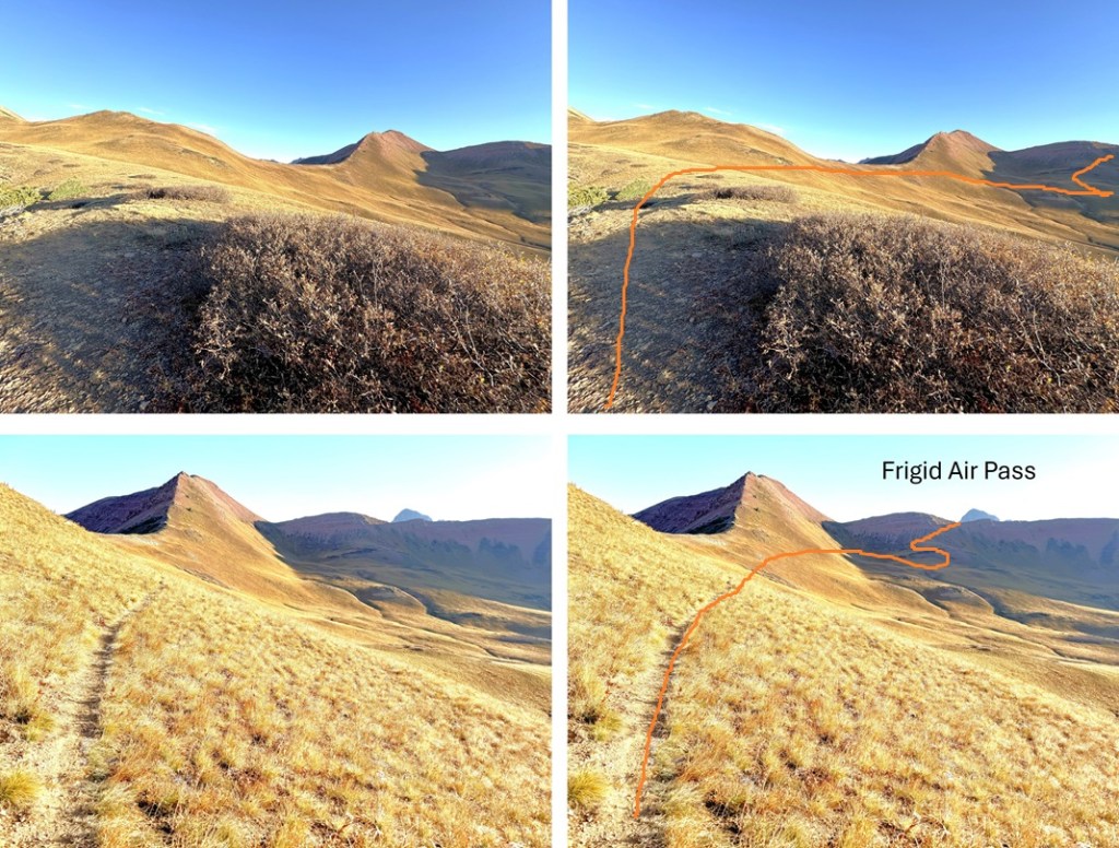
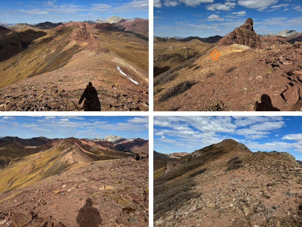
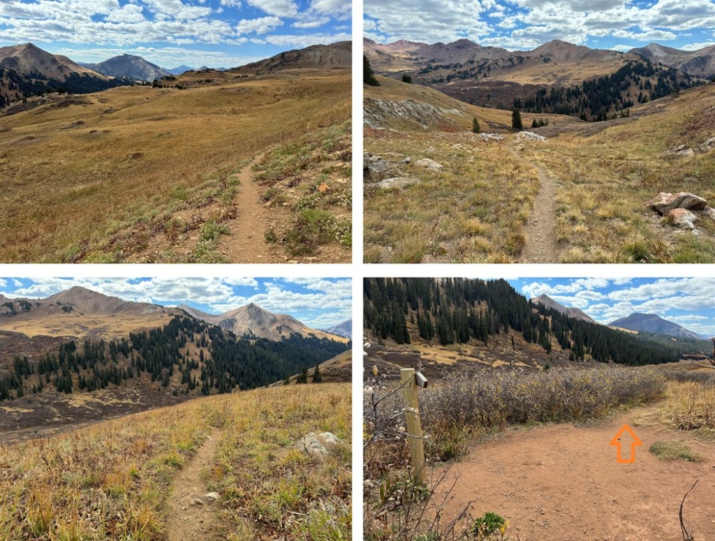
Here are some pictures of the route from the upper basin to Frigid Air Pass. The trail intersected with the West Maroon Trail again, and I followed the trail north at the intersection to Frigid Air Pass.
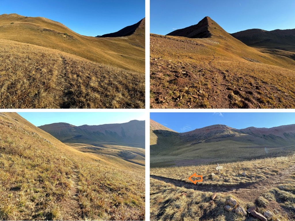
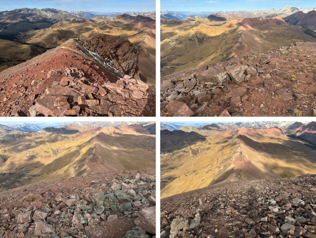
At the top of the pass, I could see Belleview Mountain. I turned right and followed the ridge southeast. This is a long ridge, but it’s all class 2, with game trails to follow to the right to keep it class 2
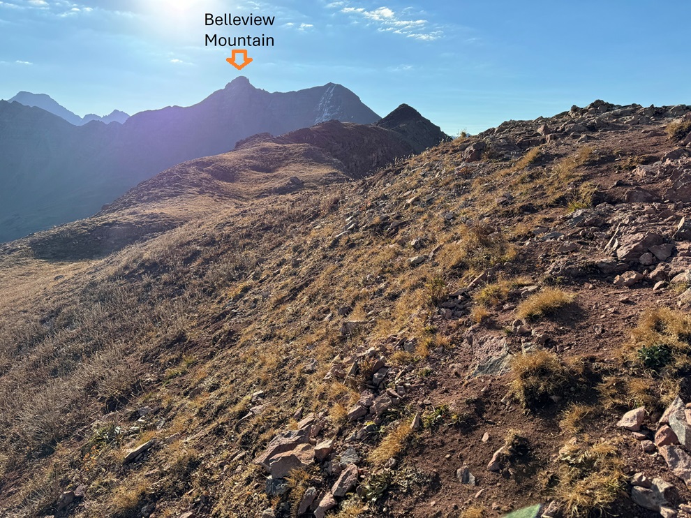
Here are some pictures of the ridge:
12
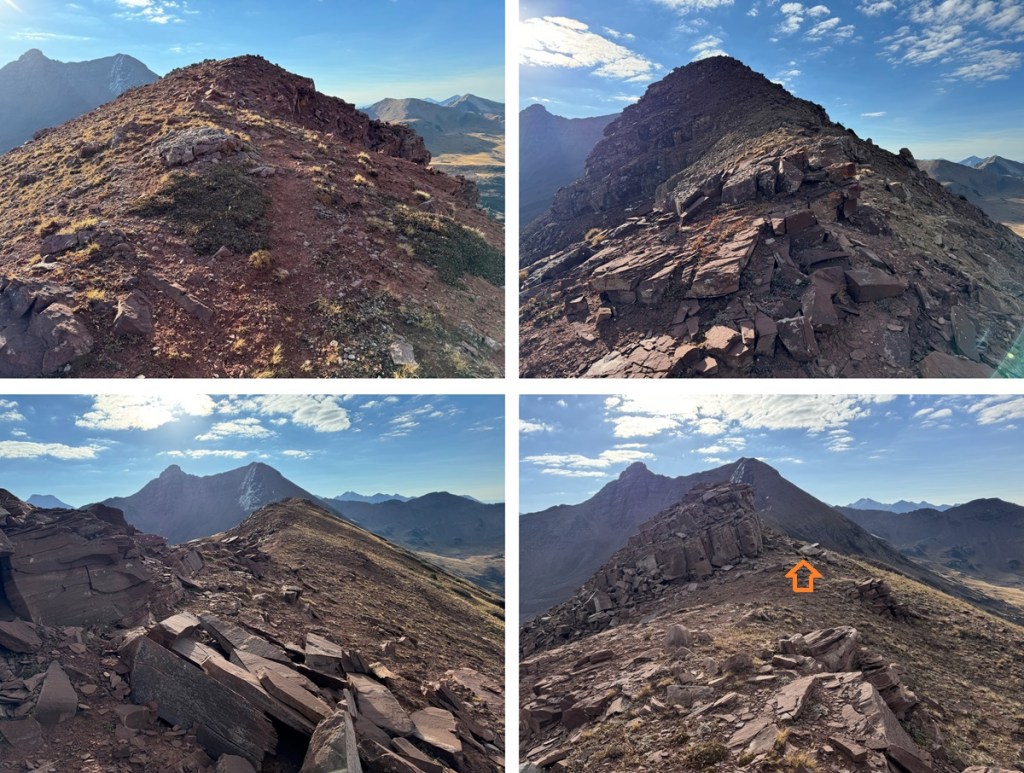

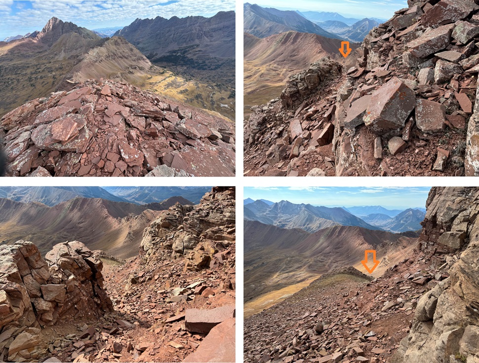
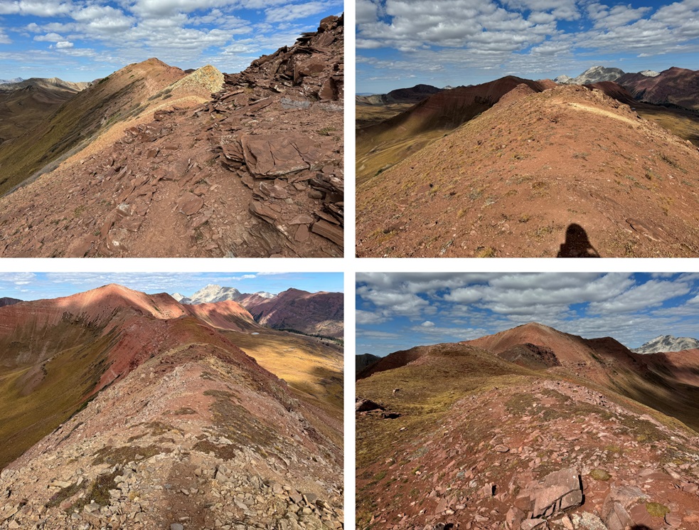
The ridge ran out and it was time to start gaining elevation again. I continued southeast to PT 13210. There were no obvious trails here, but there were a lot of loose rocks and scree. This is still all class 2.

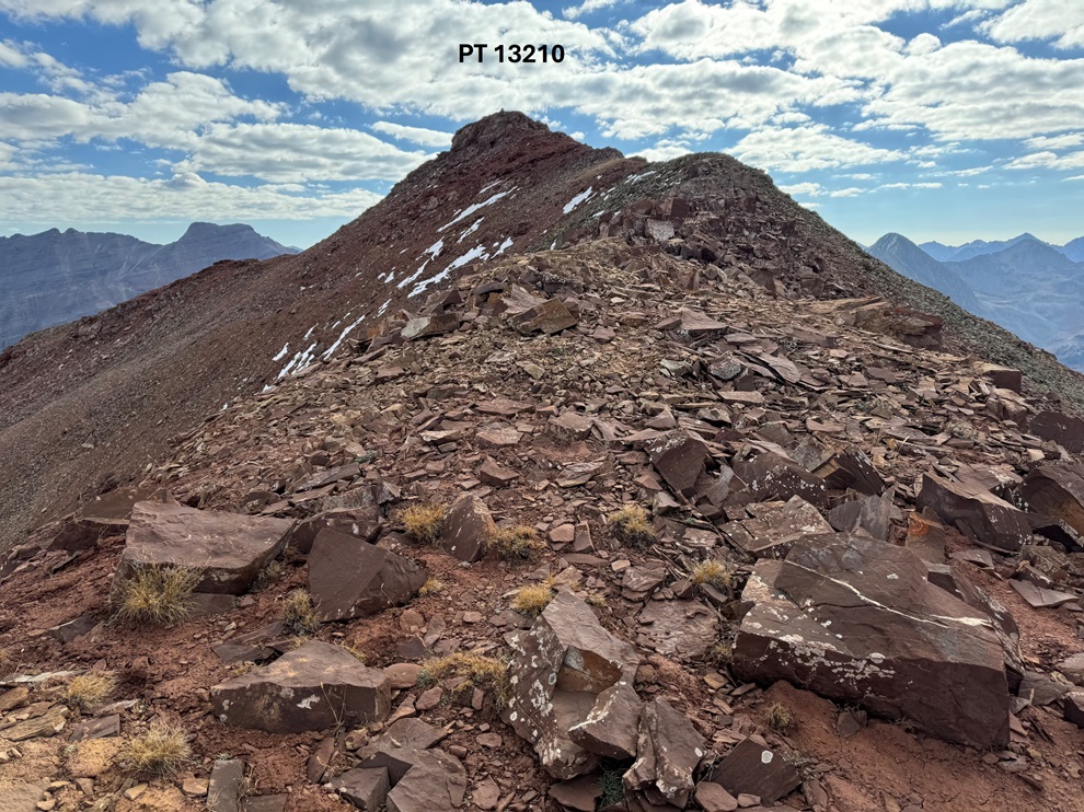
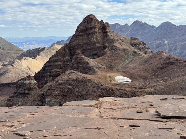
From the top of PT 13210, looking northeast I could see Belleview Mountain.

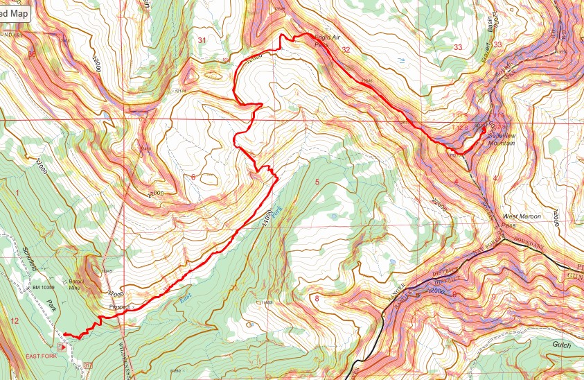
This is the overall route I took to get there:

I followed the ridge northeast on class 2 terrain, and then stayed to the right of the rock outcropping.

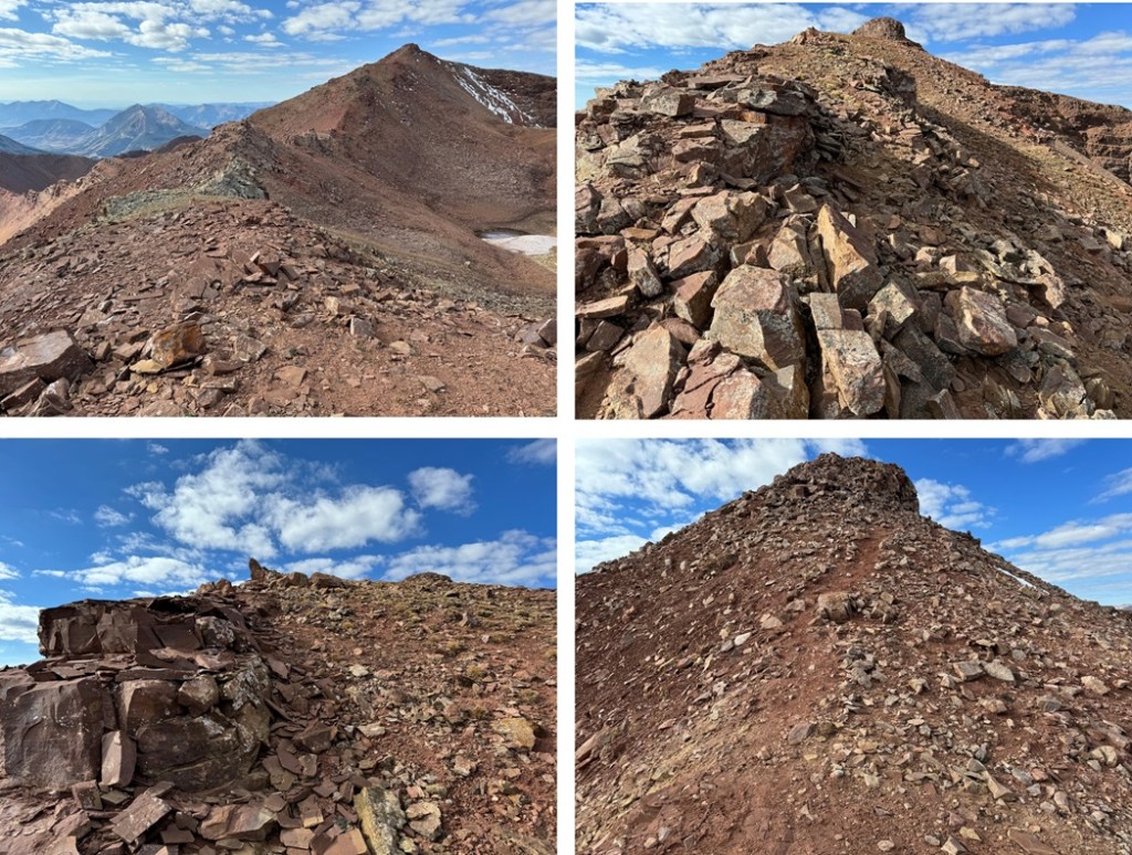
From the top of the small gully I turned left, and had a couple of options. I could ascend to the summit by going either left or right. Both options were difficult class 2. I went to the left first, to the right on the way down. The left side is difficult class 2, but there is more exposure on that side.


Then it was a class 2 rocky hike to the summit

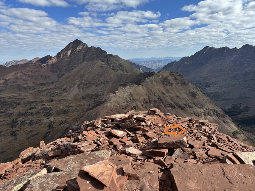
I summited Belleview Mountain at 9:50am
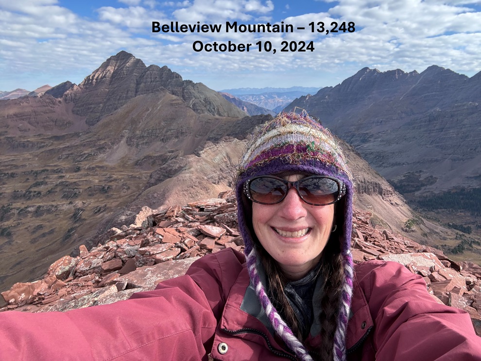
Belleview Mountain:
On my way down I headed to the north of the summit, and then descended back to the small gully by heading south on scree.
Then it was back over to PT 13210

Back at PT 13210, I headed northwest back to the ridge
And then followed the ridge northwest towards Frigid Air Pass.
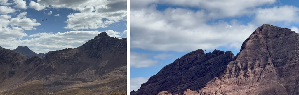
Along the ridge I got buzzed by a fast-flying helicopter, headed over to the Bells. It circled a few times, and then I never saw it again. I’m hoping it wasn’t a rescue mission. It was flying pretty close to the summits and ridges.
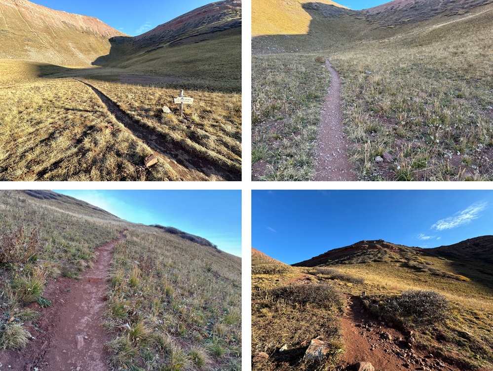
From Frigid Air Pass I regained the trail and headed southwest back into the basin. Here’s a visual of the class 1 route:
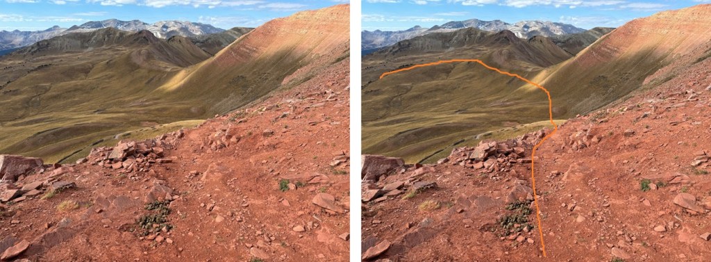
And some pictures. I took the trail back to the shortcut (1974, not labeled on signs), and then back to the West Maroon Trail

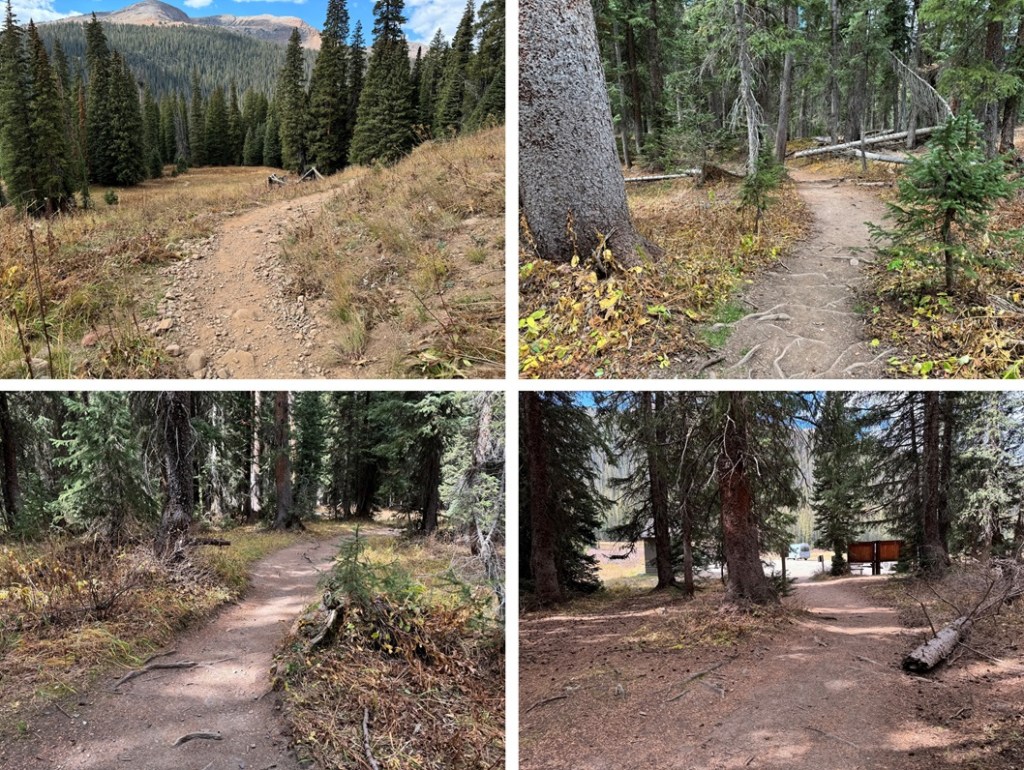
Back on the West Maroon Trail, I followed it southwest back to the trailhead

I made it back to my truck at 12:30pm, making this a 12.15 mile hike with 3516’ of elevation gain in 5.5 hours.
On to the next trailhead!
