Mount Valois – 13,173

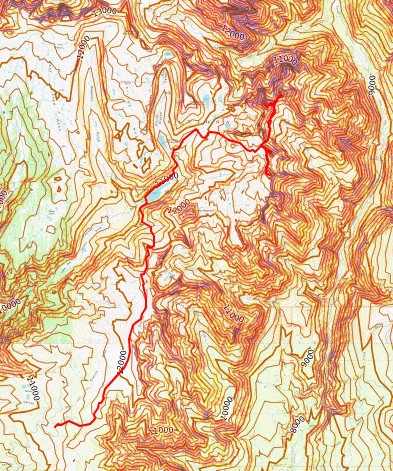
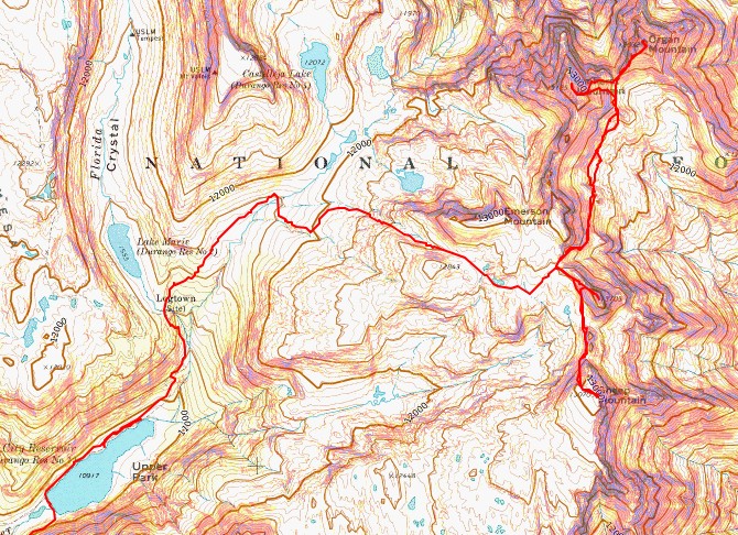
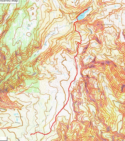
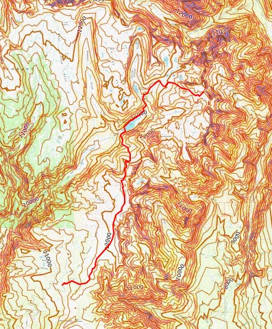
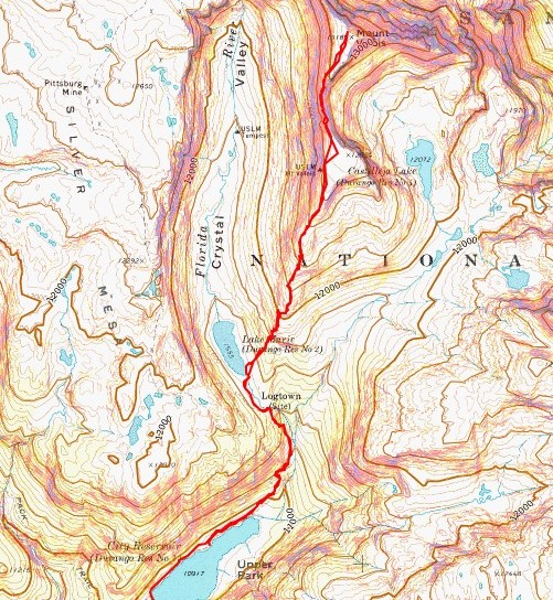
RT Length from City Reservoir: 6.75 miles

Elevation Gain from City Reservoir: 2310’

RT Length from Endlich Mesa Trailhead: 21.45 miles

Elevation Gain from Endlich Mesa Trailhead: 5078’

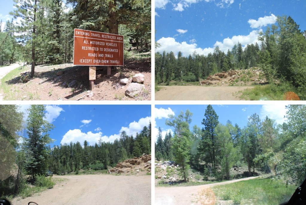
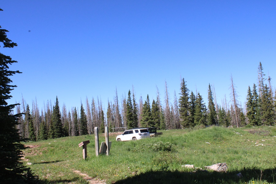
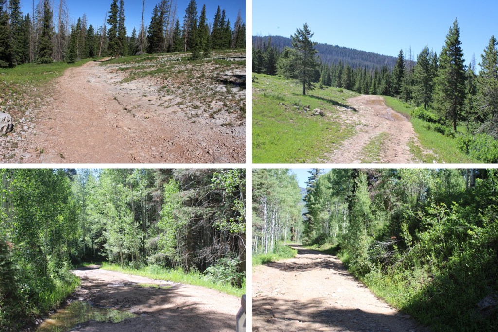
The approach to City Reservoir is a total of 7.35 miles and 1220’ of elevation gain (but also over 1500’ of elevation loss) from Endlich Mesa Trailhead and City Reservoir.  You can view the approach to the saddle here

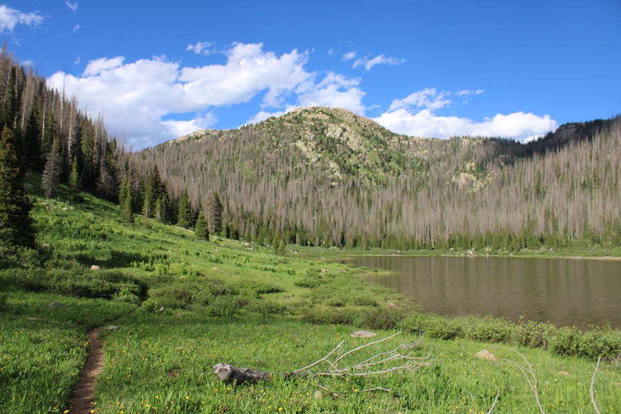
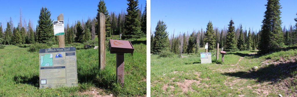
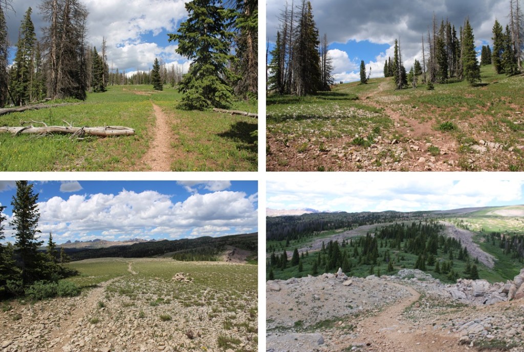
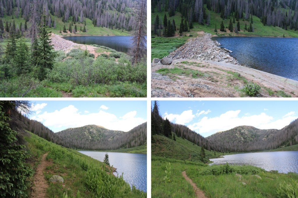
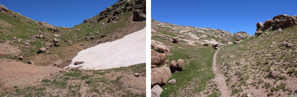
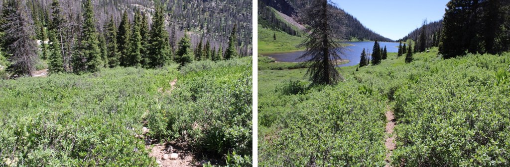
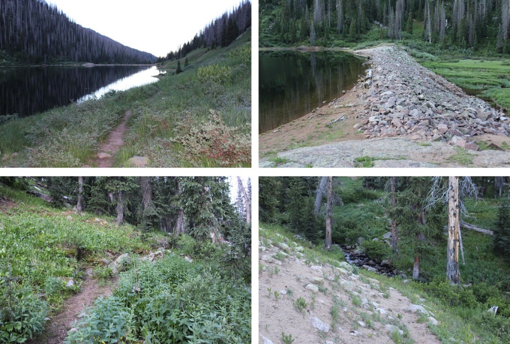
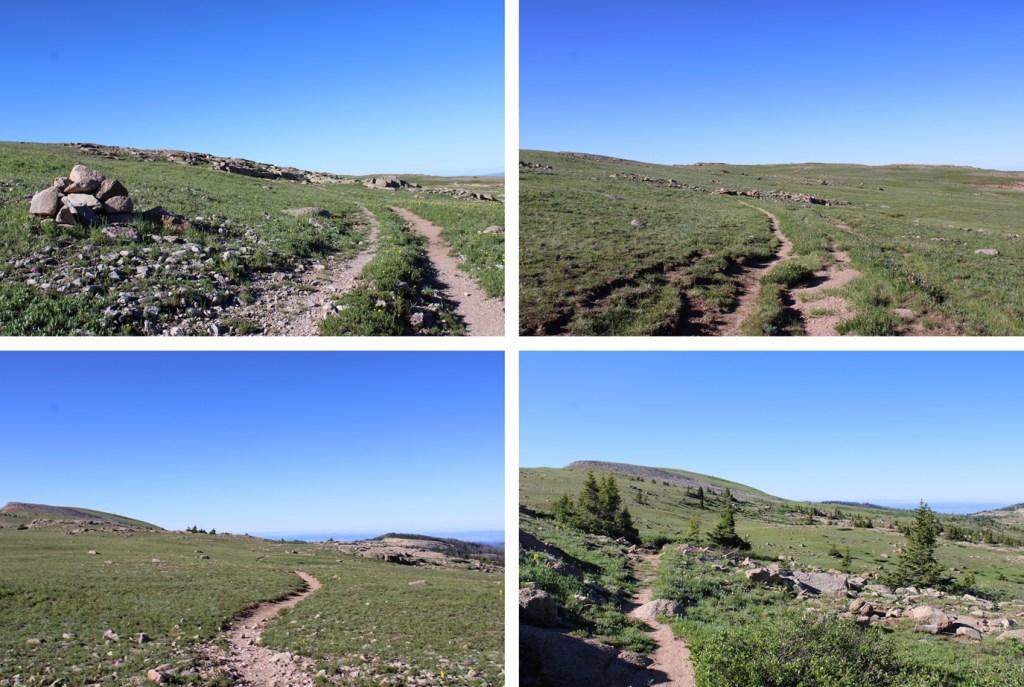
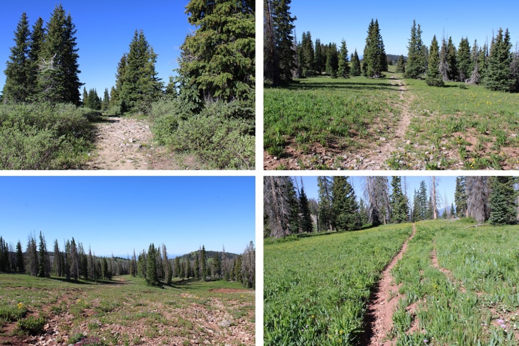
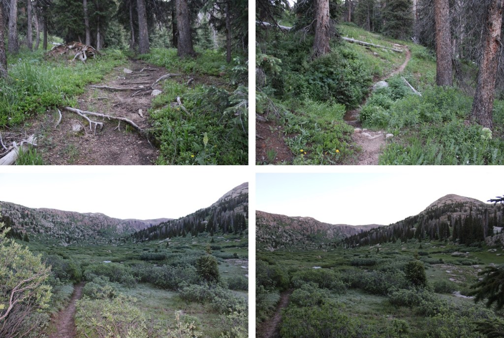
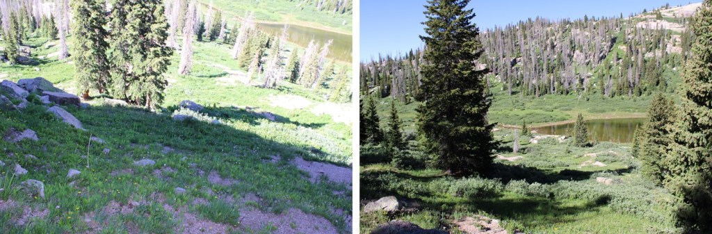
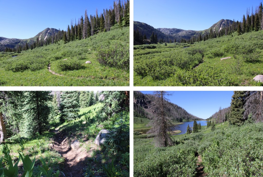
I awoke from my campsite at City Reservoir and was on the trail at 7am.  I followed the Endlich Mesa Trail towards Lake Marie.

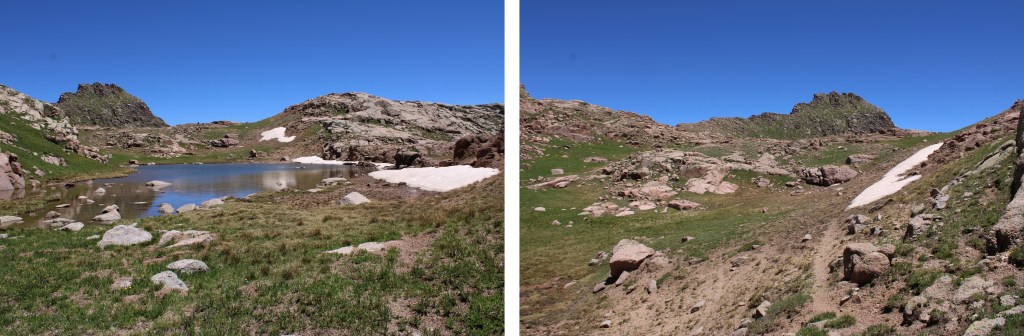
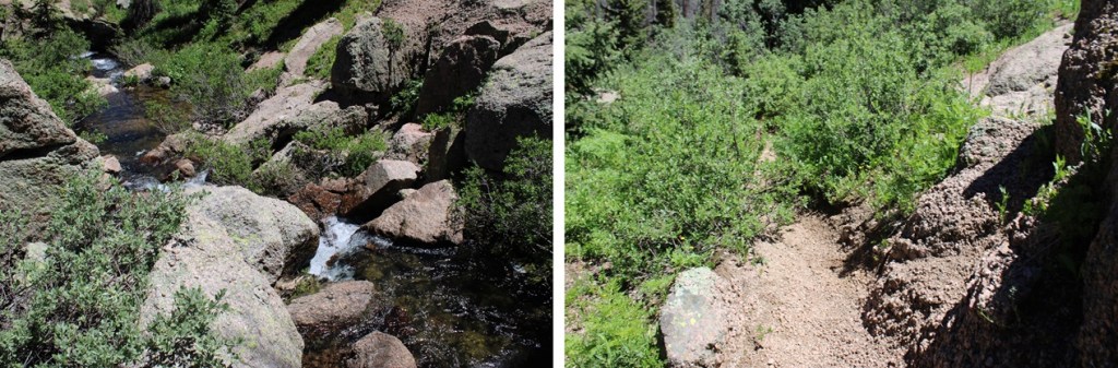
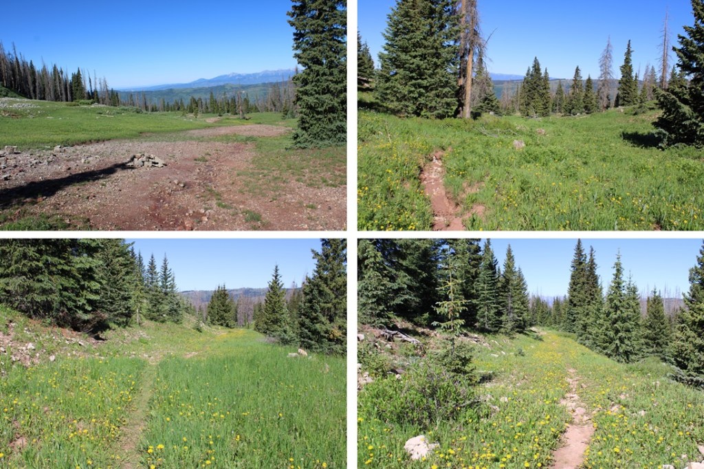
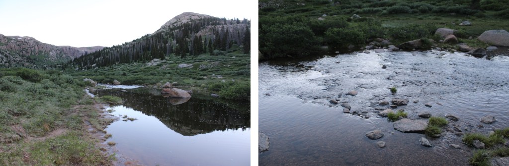
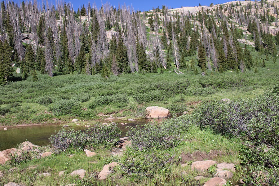
When I reached the south end of the lake, where a stream flows out, I crossed the stream

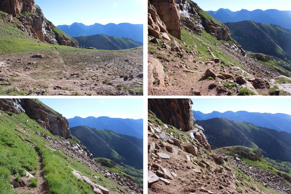
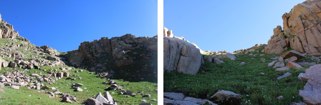
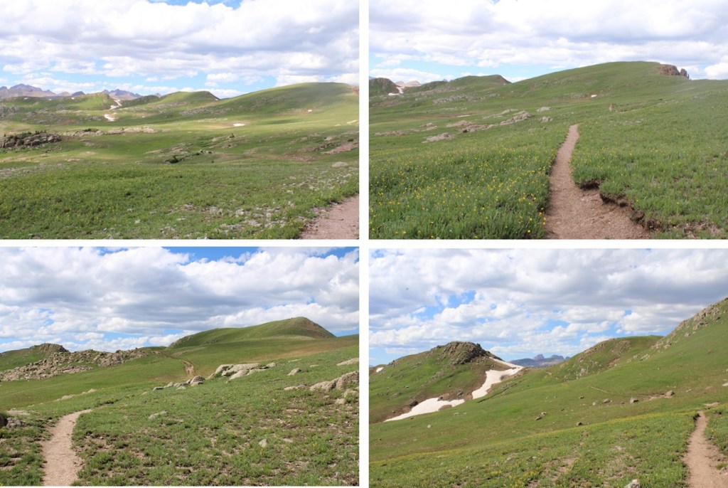
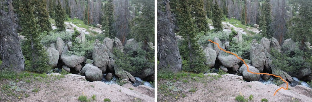
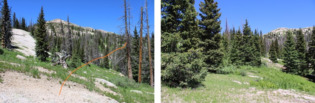
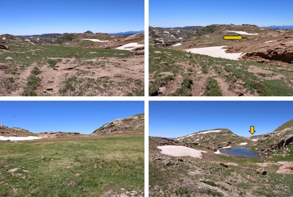
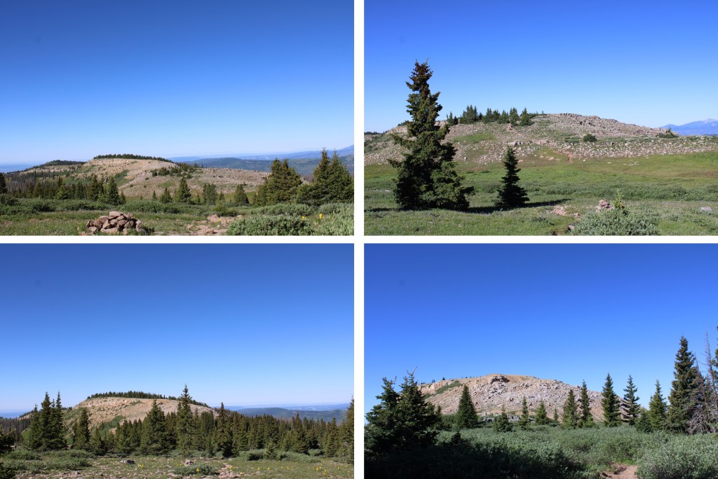
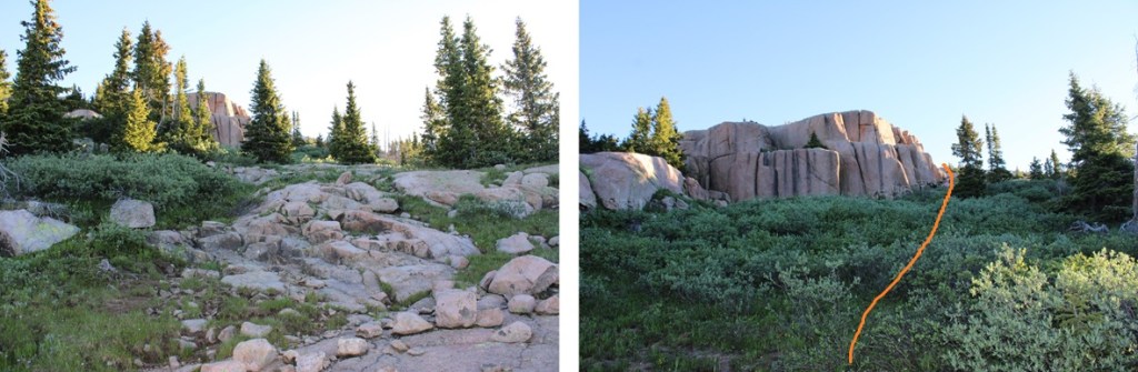
After crossing the stream I headed northeast towards the ridge and the rocky outcropping.  The ridge actually has a lot of route finding, so I’ll do my best to explain how to navigate it.  This is all class 2, with route finding below treeline.

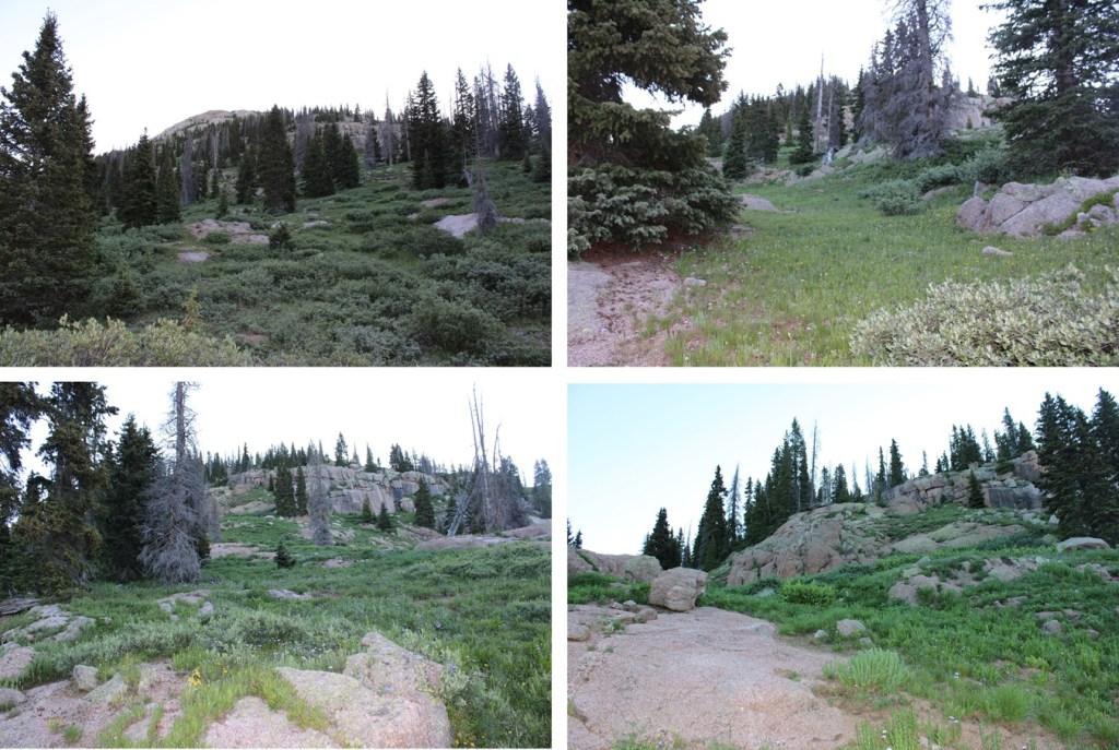
At the first rock outcropping, head for the tree that’s cut in half at the top of the rocks

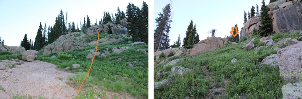
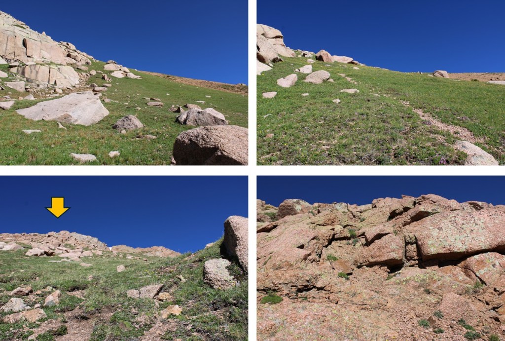
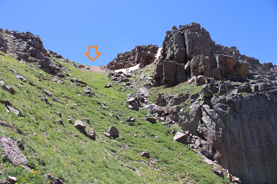
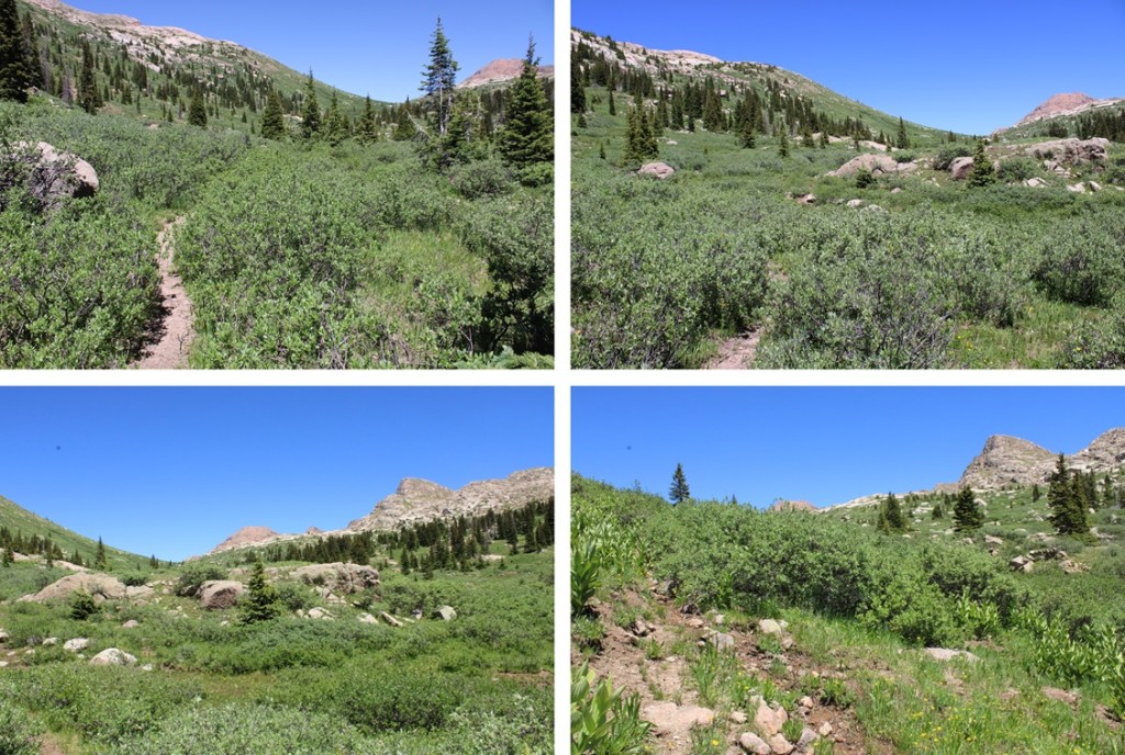
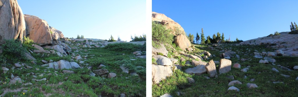
Next, ascend this small gully

And continue heading northeast

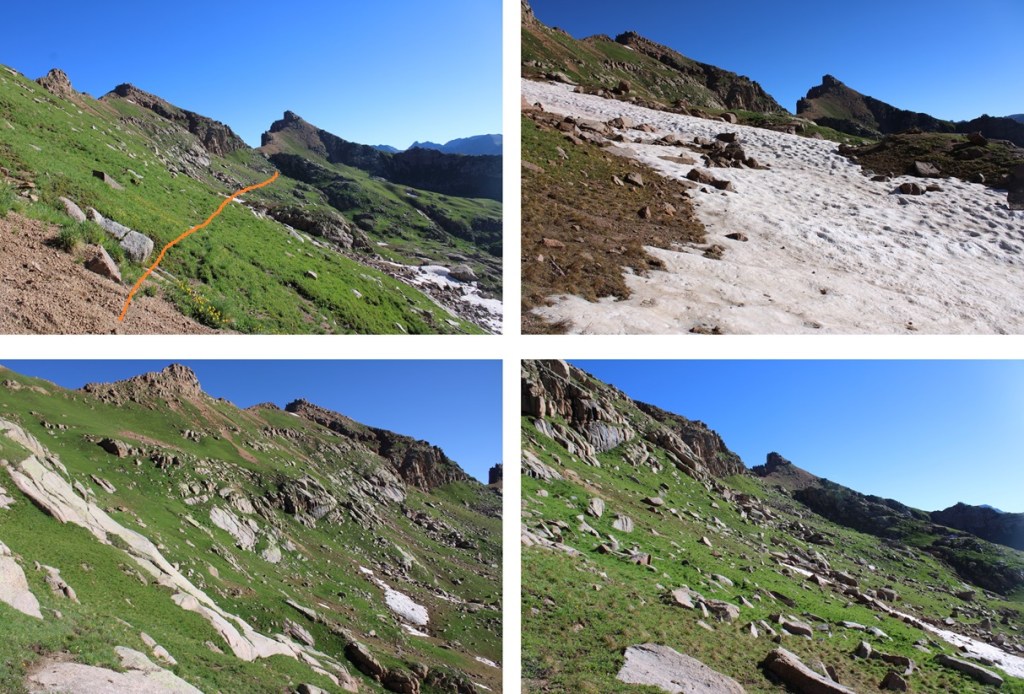
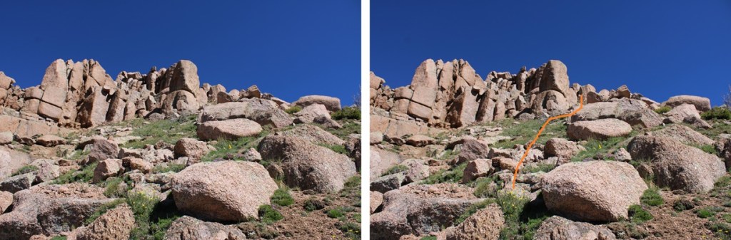
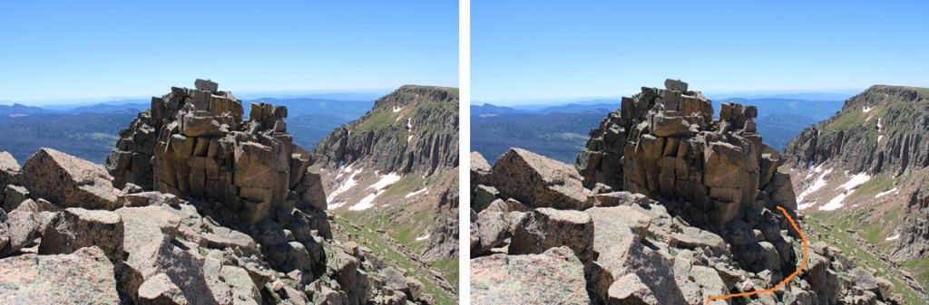
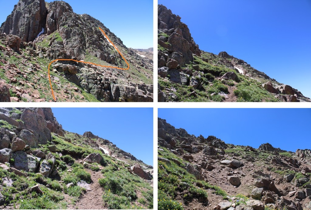
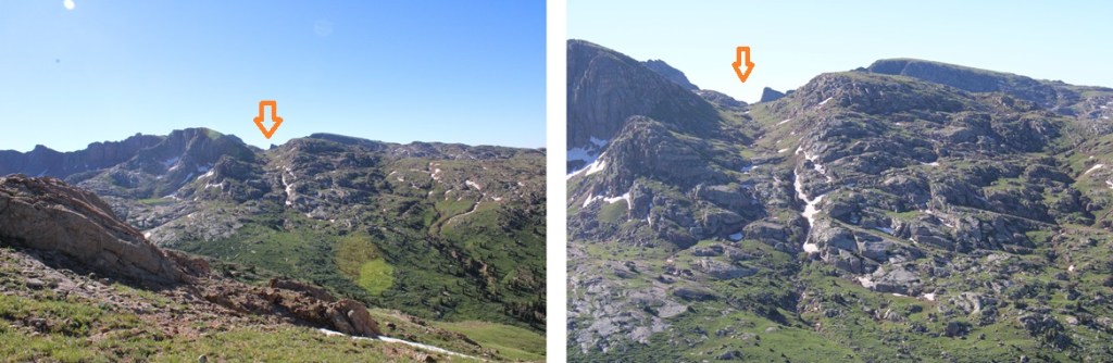
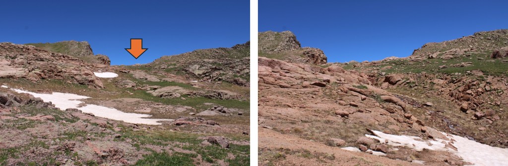
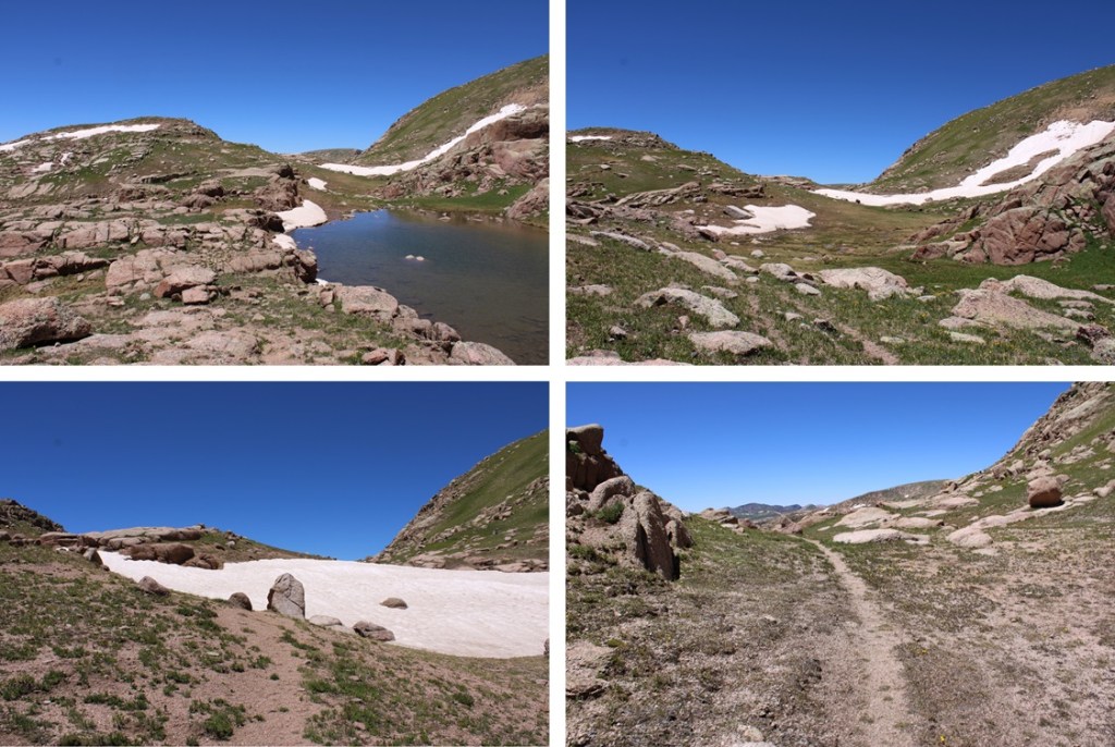
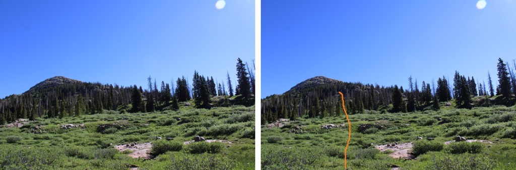
You will eventually come to this wall.  If you navigate around to the left, you’ll find a grassy ramp to ascend.  Ascend, then walk back towards the wall to navigate around the rocks. 

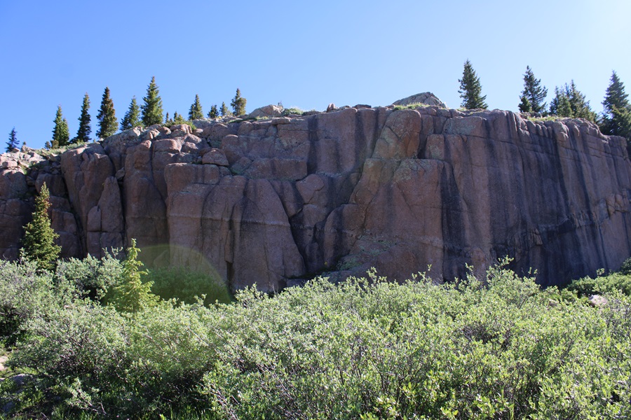
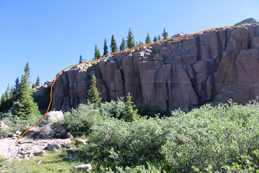
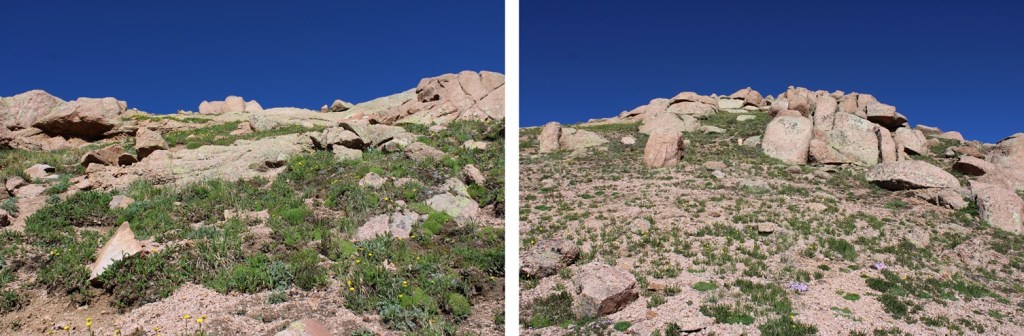
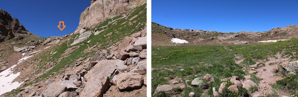
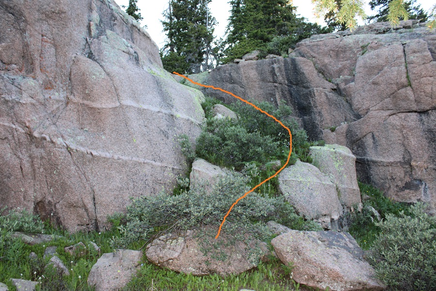
After going east around the large rock face, again head northeast along the ridge.  You’ll encounter another large rock face.  This time, go right, and ascend a grassy gully.

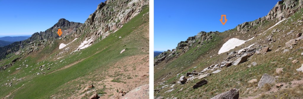
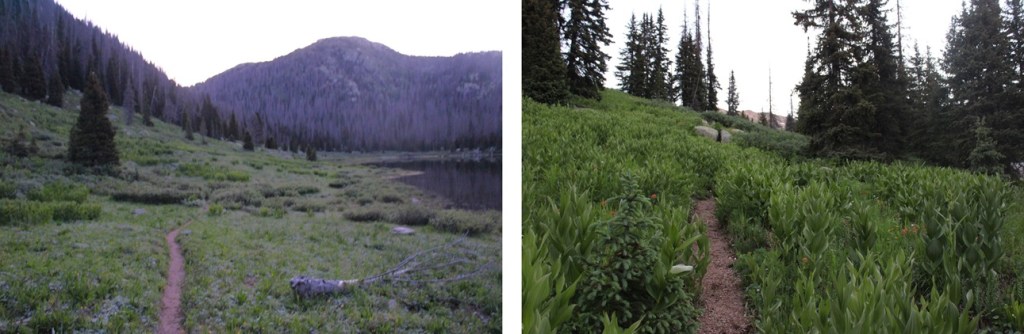
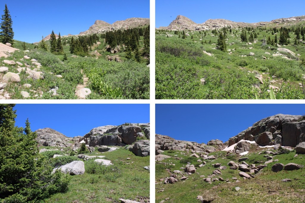
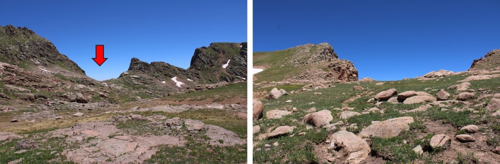
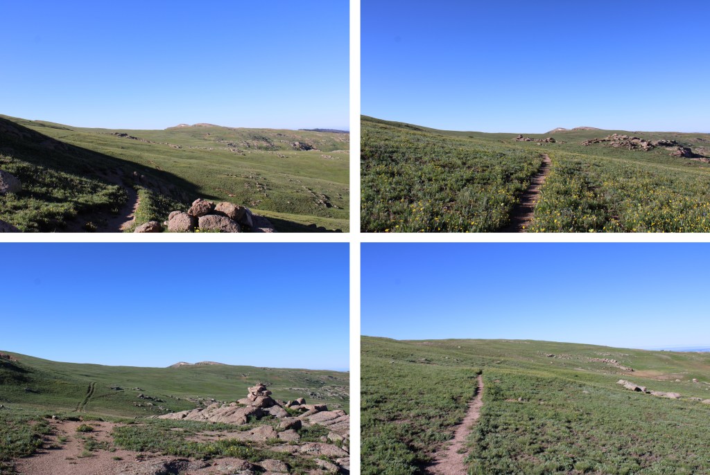
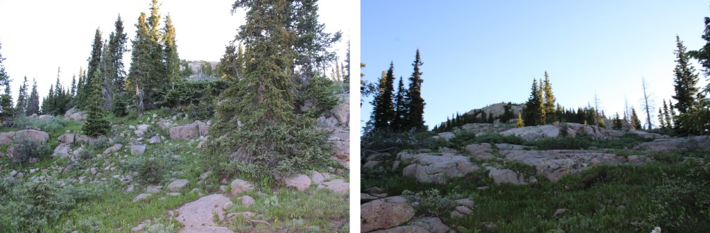
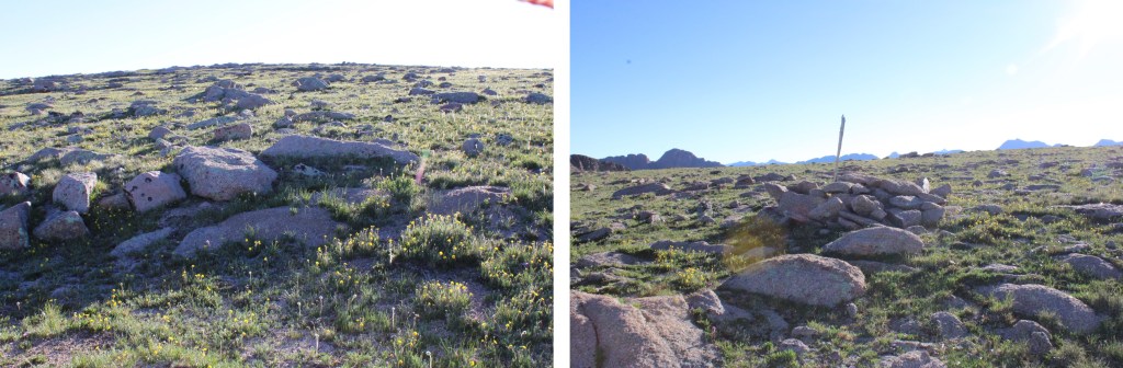
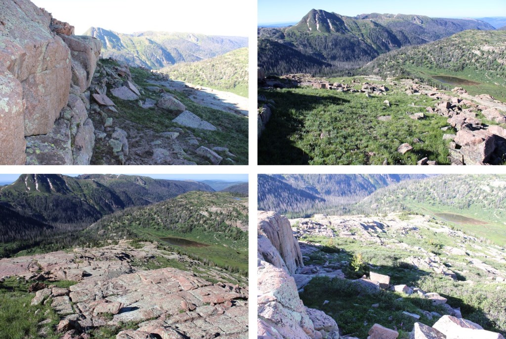
Now you should be looking at the rocky ridge, but at least you’re above treeline. I pretty much stayed to the center of the ridge, and kept heading northeast, following the ridge.  If you have an option to go left on grassy slopes, do that. 

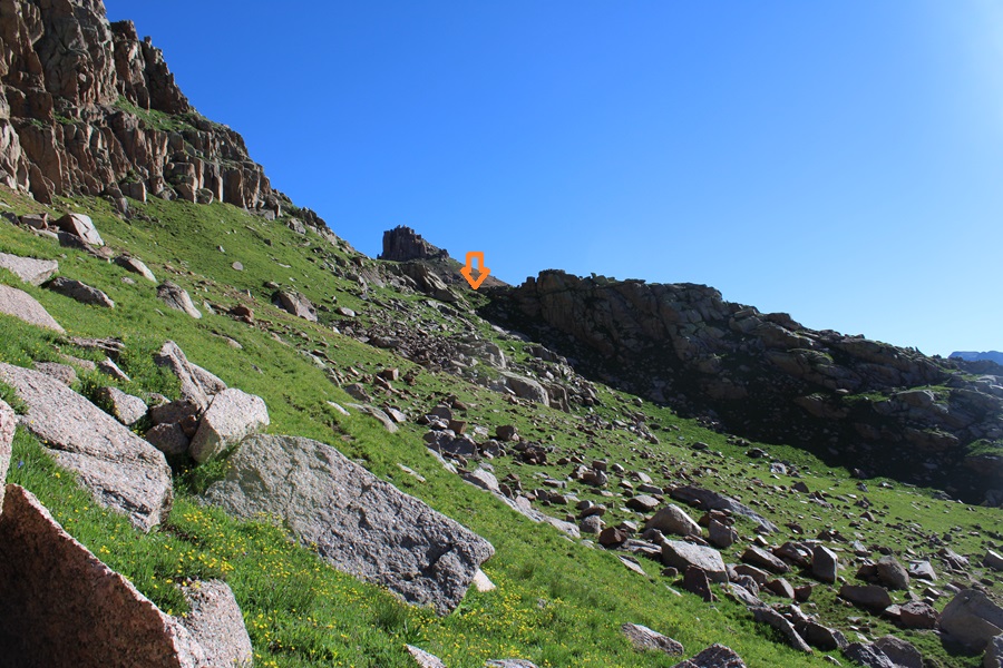
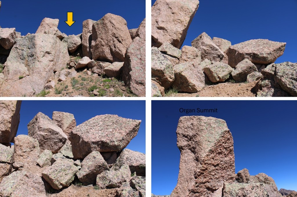
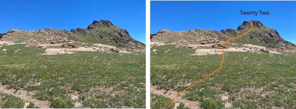
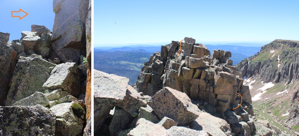
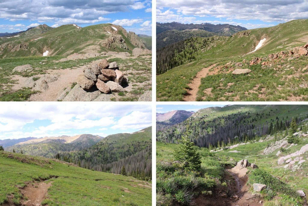
From here on out, this is a straightforward hike.  I climbed northeast up this class 2 ridge to a rather large cairn.

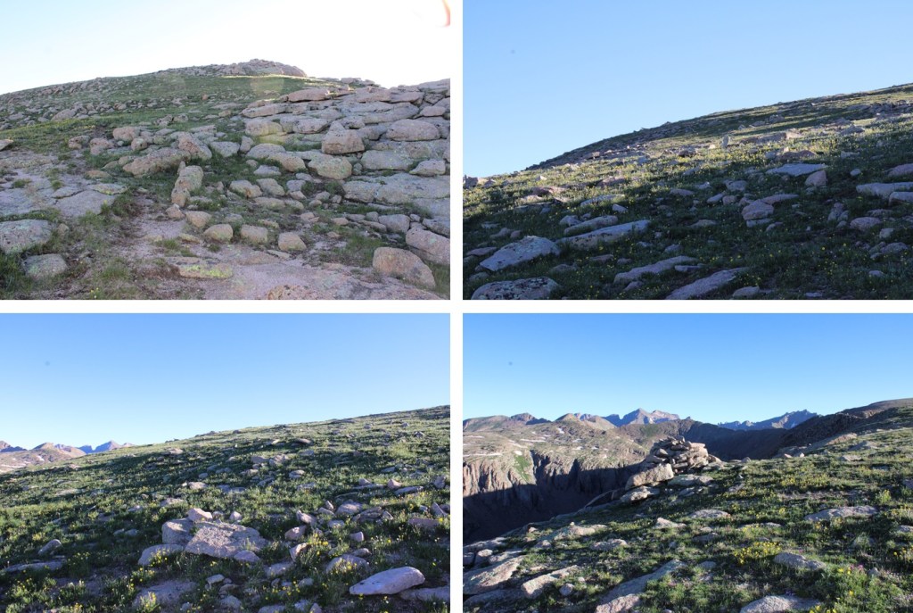
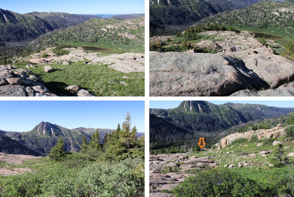
From there I headed east towards this large cairn, but I could have just kept heading northeast along the ridge.

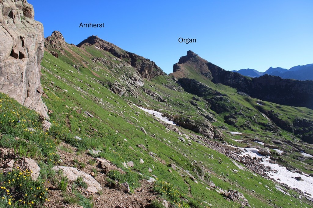
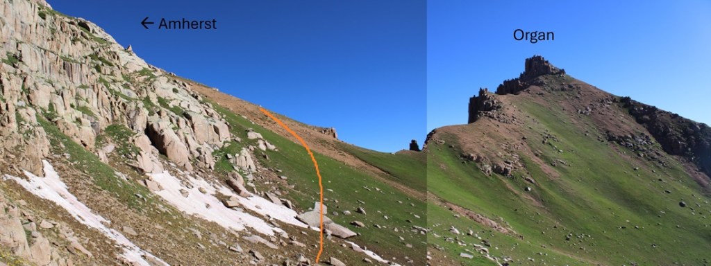
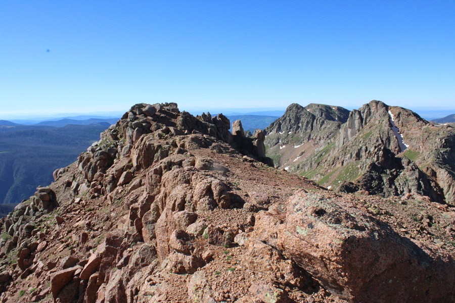
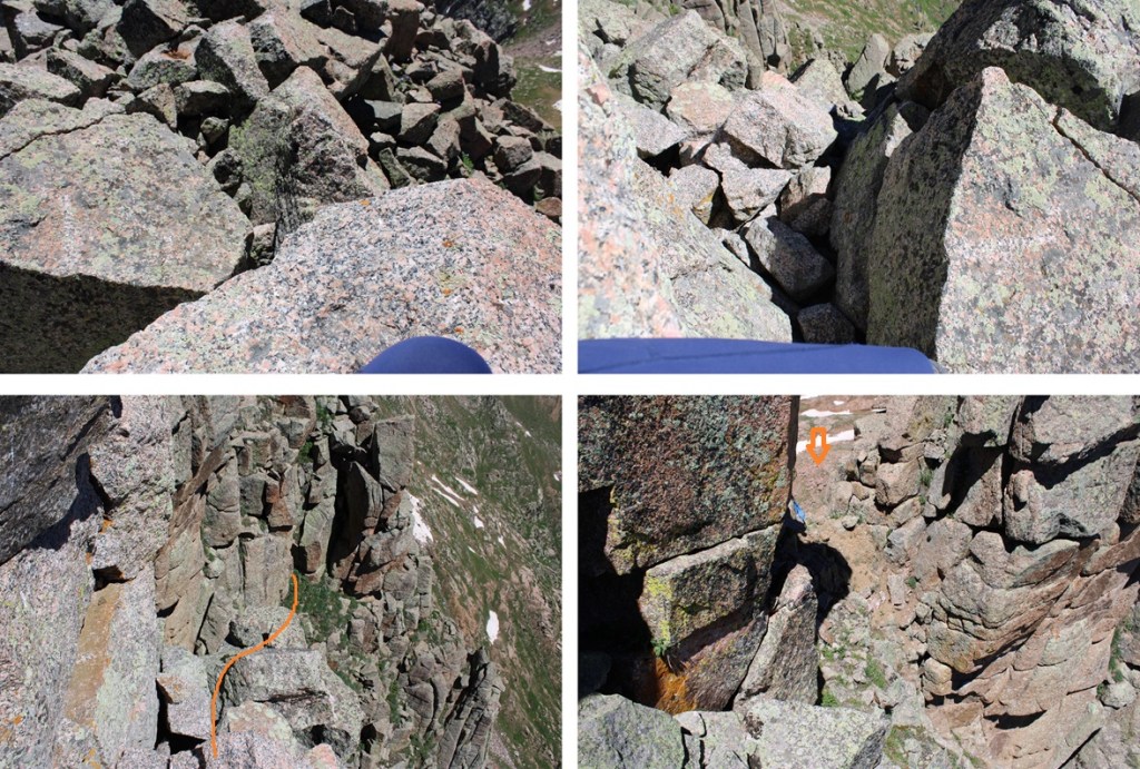
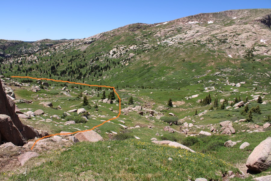
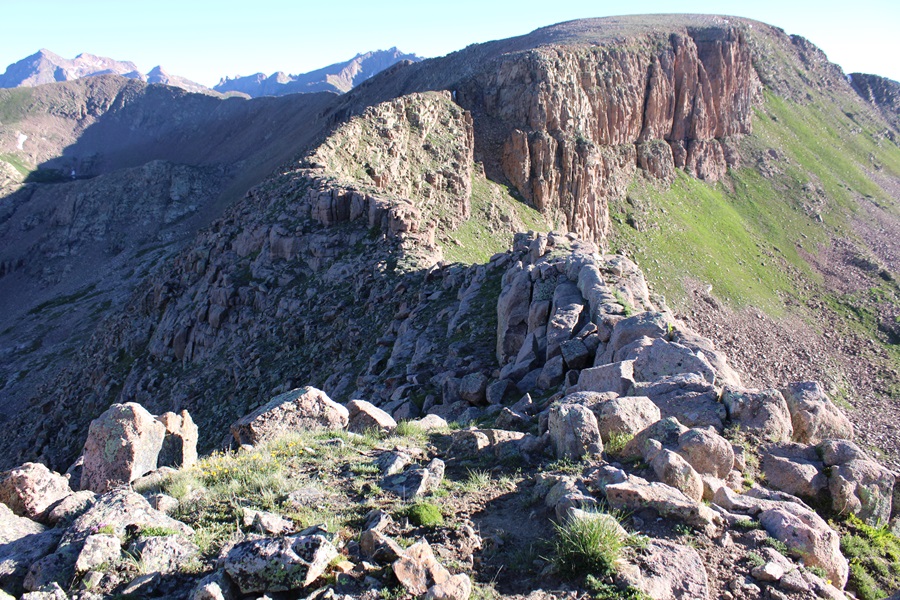
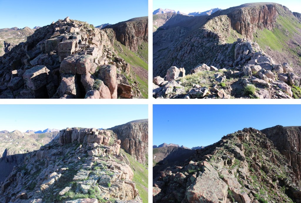
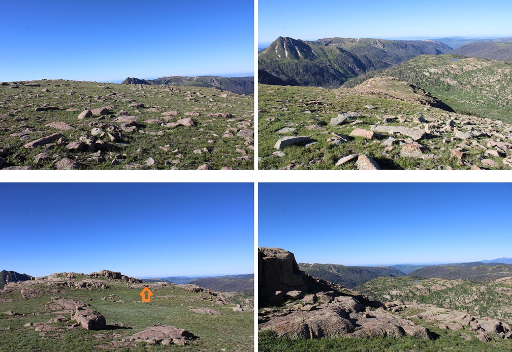
From this second large cairn I followed the ridge towards Mount Valois.  It may look daunting, but it’s all class 2.  The ridge goes, but if it feels sketchy there’s a way to drop down to the left and use game trails. 

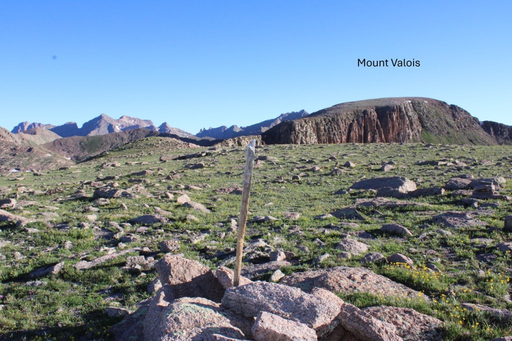
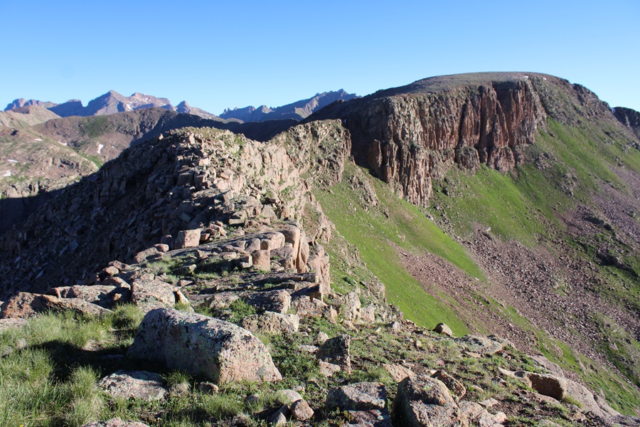
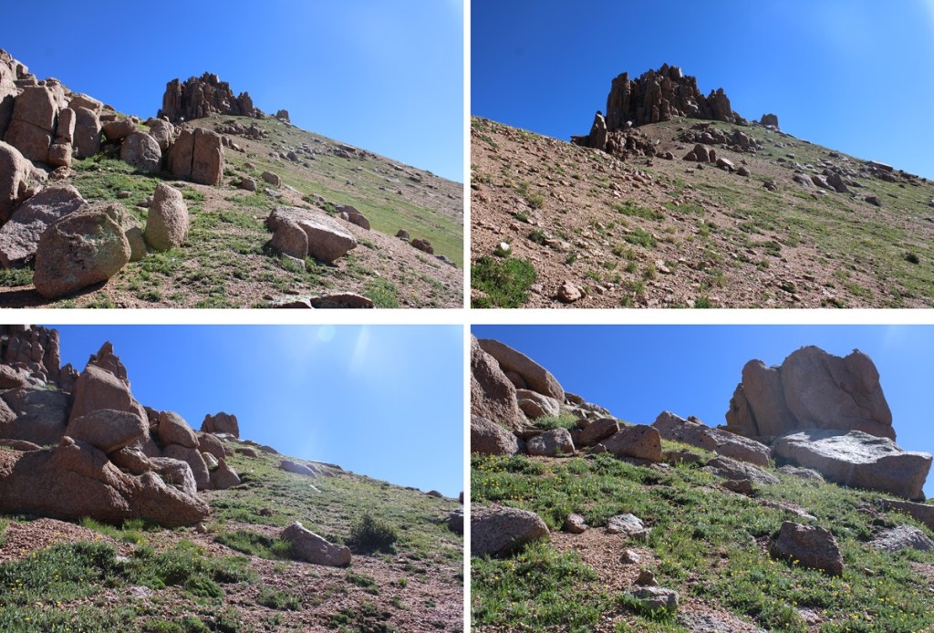
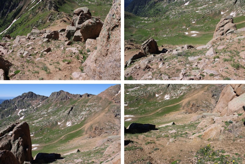
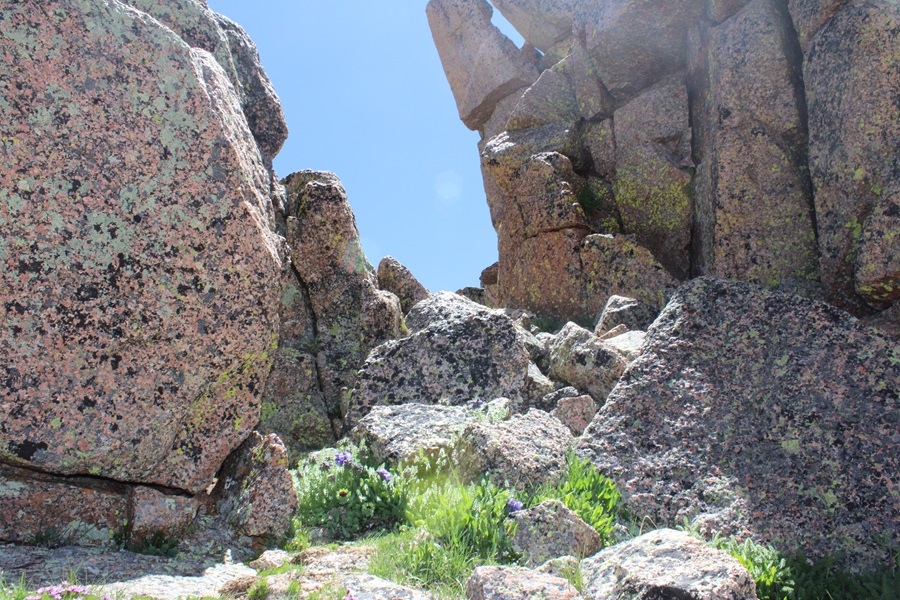
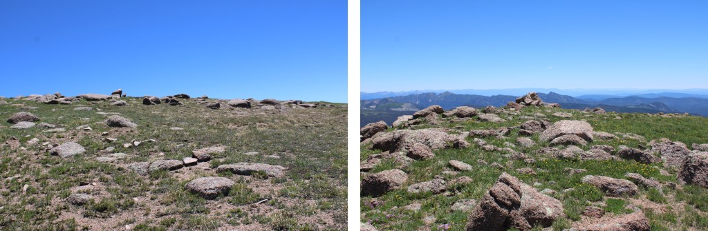
Here are some pictures of the ridge. 

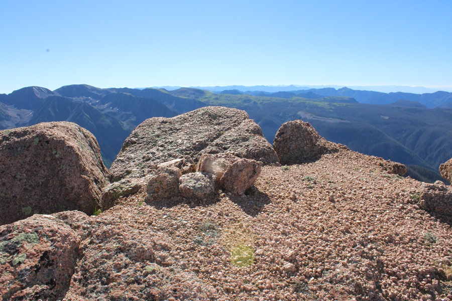
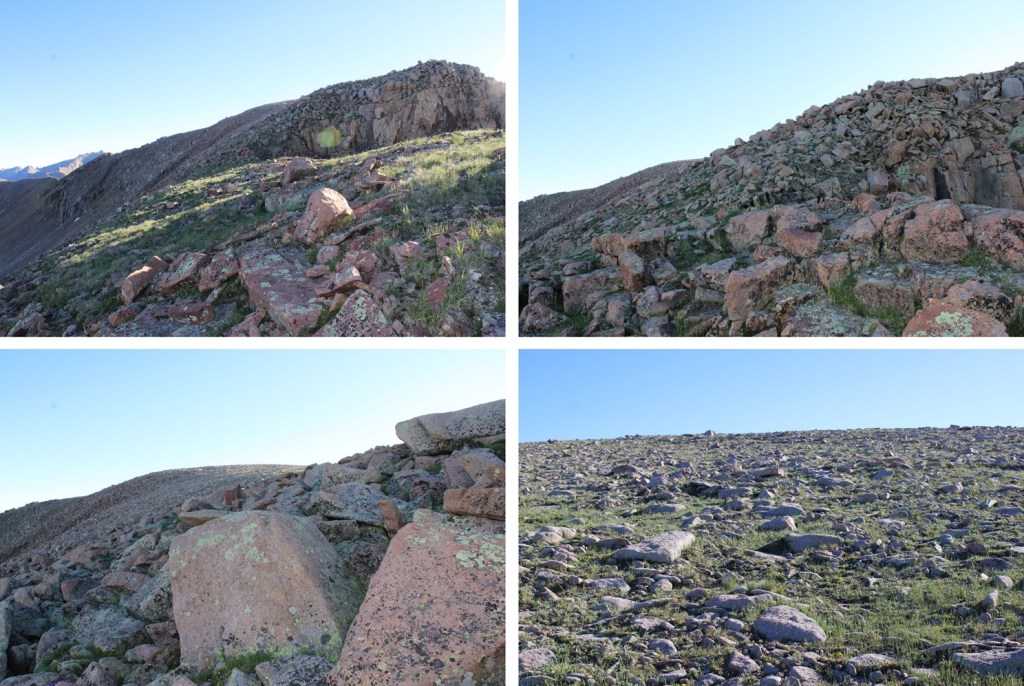
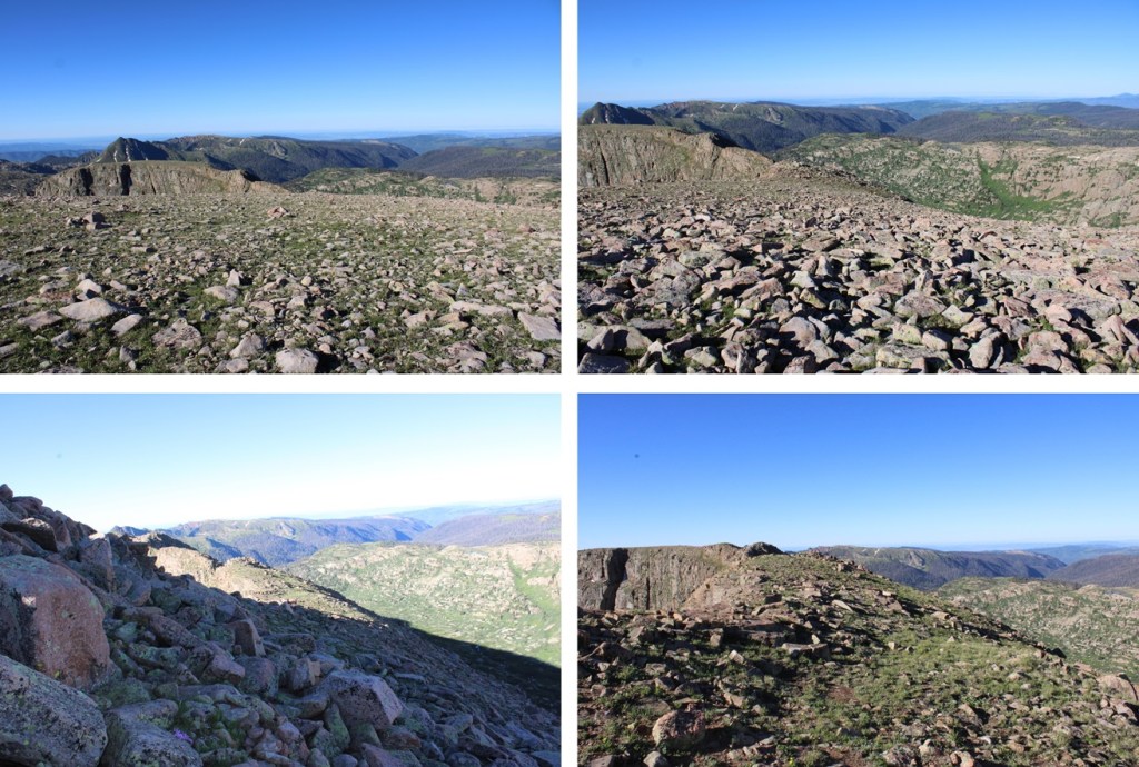
Then it’s an easy rocky tundra walk to the summit

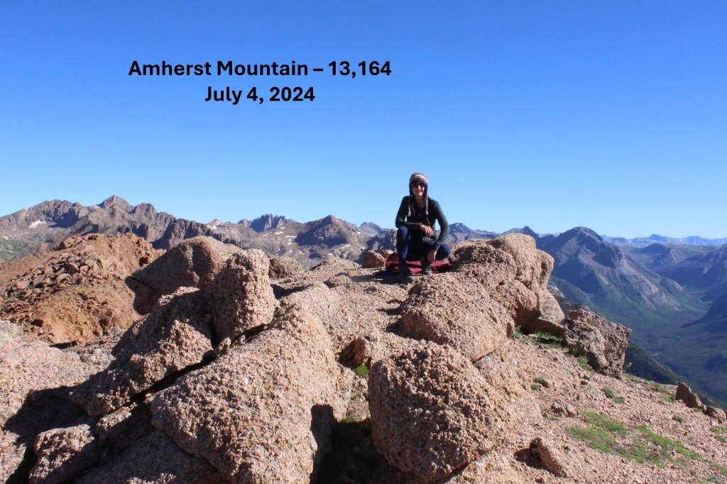
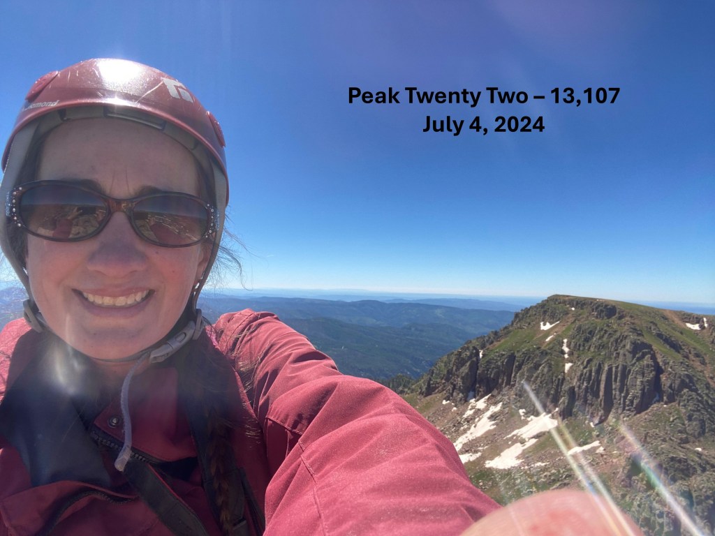
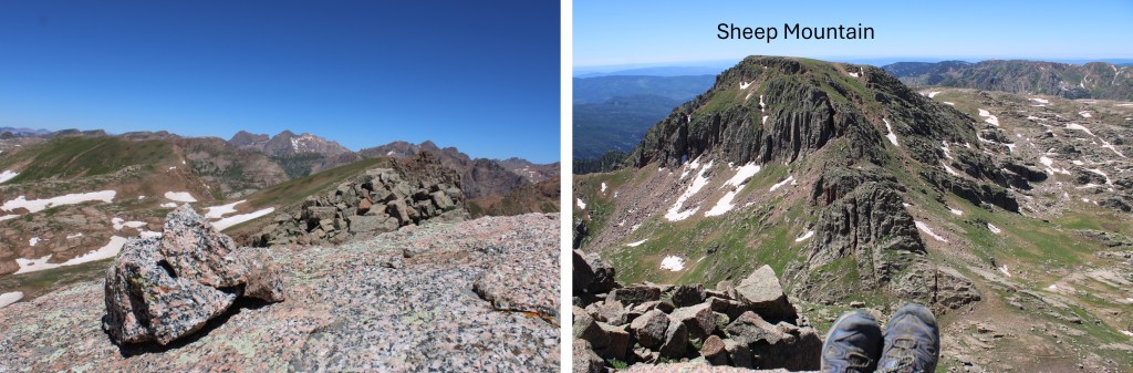
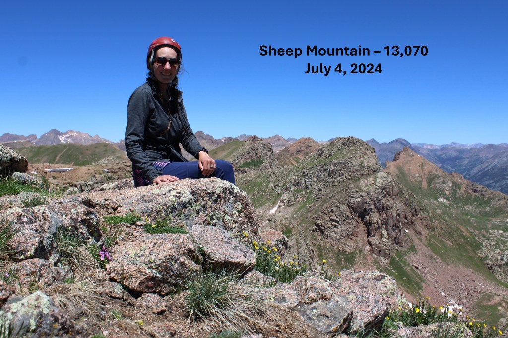
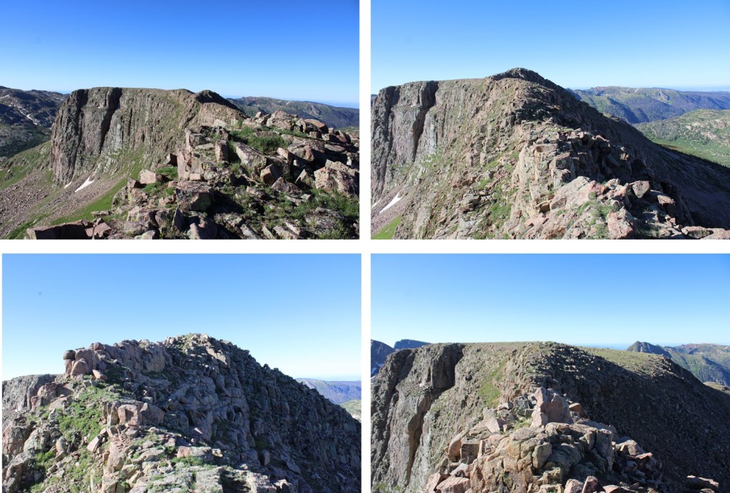
I summited Mount Valois at 7:45am

Mount Valois:

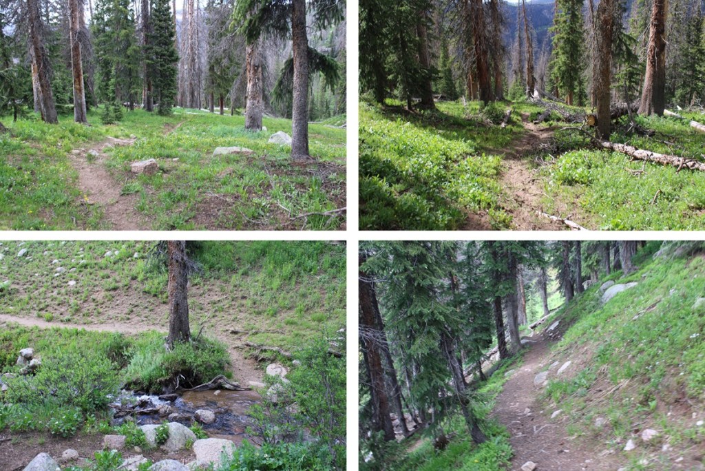
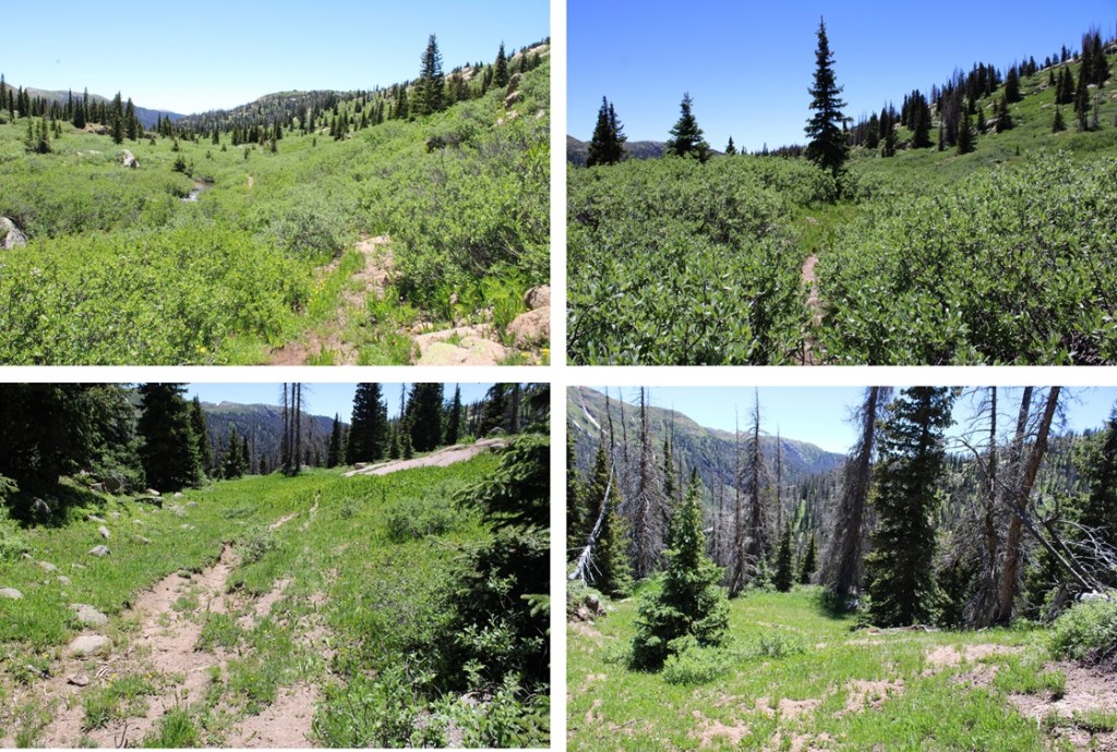
Now to head back to City Reservoir.  I retraced my steps back down to the ridge

Then across the ridge

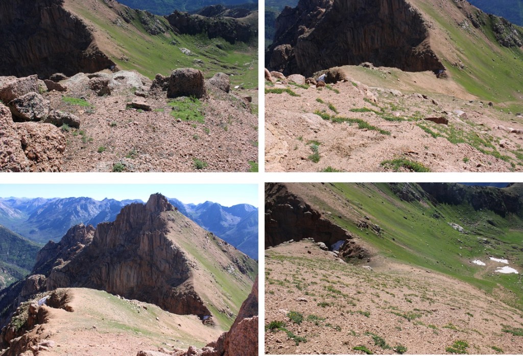
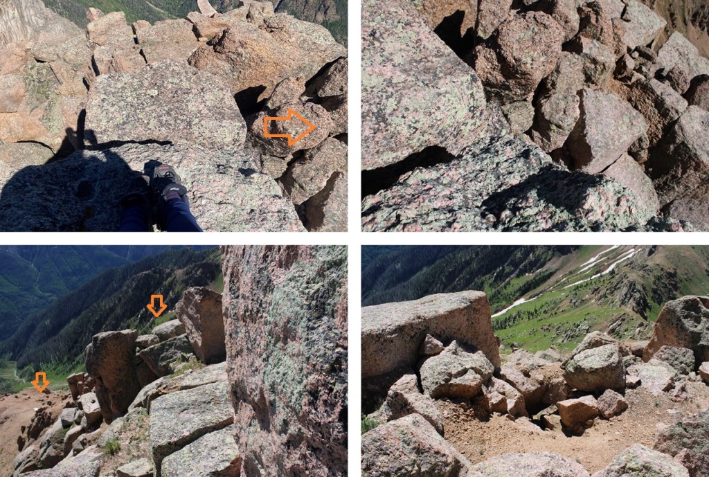
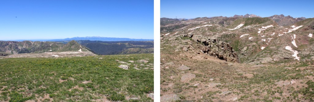
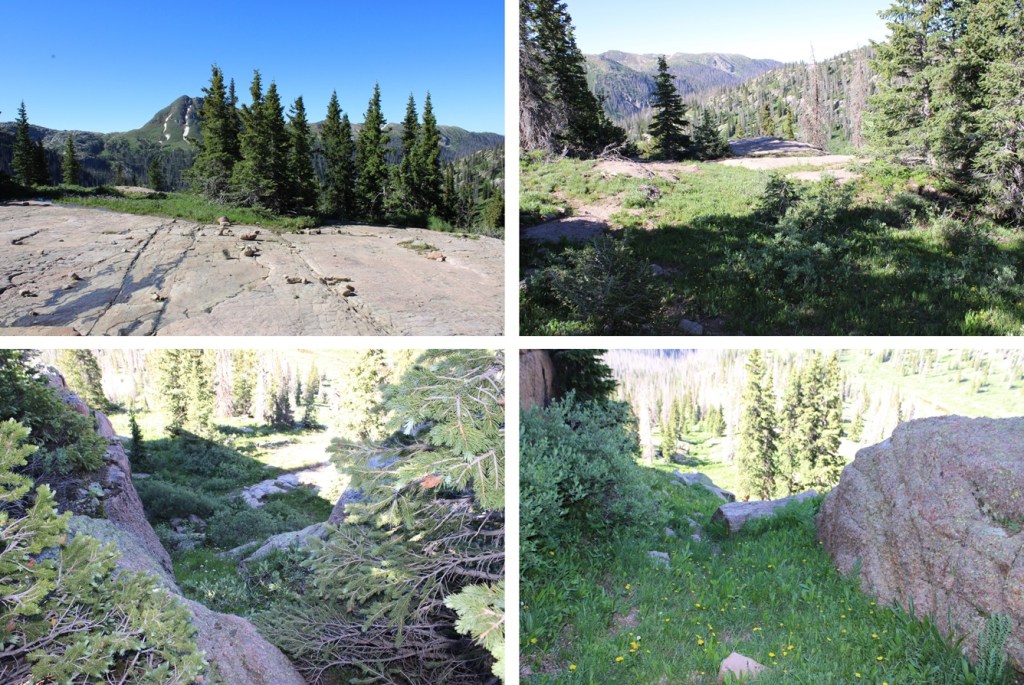
Here are some pictures of the route back down to Lake Marie

Back down the gully

And across the rocky ledge

Then southwest towards Lake Marie

I crossed the stream, and headed south on the Endlich Mesa Trail back to City Reservoir.

I made it back to City Reservoir at 9:30am, making this a 6.5 mile hike with 2310’ of elevation gain from City Reservoir in 3.5 hours. 

On to the next trailhead!

Amherst Mountain – 13164, Organ Mountain – 13,040, Peak Twenty Two – 13107, Sheep Mountain – 13,073

RT Length from Endlich Mesa Trailhead: 28.2 miles

Elevation Gain from Endlich Mesa Trailhead: 7263’

RT Length from City Reservoir:  13.5 miles

Elevation Gain from City Reservoir: 4495’

The approach to the saddle between Emerson and Peak Twenty Two is a total of 11 miles and 3250’ of elevation gain from Endlich Mesa Trailhead and City Reservoir.  You can view the approach to the saddle here

From the saddle of Emerson and Peak Twenty Two, I continued following a scree-filled game trail northeast skirting the east side of Emerson, losing 450’ of elevation as I wound my way towards an upper basin.

Here you can see Amherst and Organ

I continued following this trail until I kind of lost the trail, then stayed at about 12400’ of elevation as I made my way towards this gully

I aimed for this gully, and ascended it. 

At the top of the gully I could see the saddle between Amherst and Organ.  You can aim for the saddle, or just turn left and ascend Amherst.  I aimed left, and ascended 800’ on very steep tundra terrain, which eventually gave way to rocky class 2 terrain. 

At the top of this rocky area I looked right, and it looked like the area to the right was higher than I was, so I continued following the ridge north.

But when I got to the other side, it looked like where I had been was the highpoint, so I headed south back to the other side.

 My altimeter gave both points equal height, and there wasn’t a summit register, so I’m not entirely sure which is the true summit.  There was what you could call a cairn on the first summit.  In any event, they are both easy to tag.

I summited Amherst Mountain at 9am

Amherst Mountain:

From the summit I could see Organ Mountain to the northeast

It looked like it would be a simple ridge hike, so I headed down to the Amherst/Organ saddle.

From the saddle, this is the route I took to the summit, aiming for the ramp to the right.  This initial part was all class 2 on either scree or tundra.

Once reaching the top of the ramp however, it became choose your own adventure, with some short class 3 climbing included at the very end.  I hopped over a few rocks, and could see the summit boulder to the north.  Climbing this was class 3, and a little airy, but easy access was found to the right of the summit block. 

The summit block

I summited Organ Mountain at 10am

Organ Mountain:

I turned around and headed back down to the Amherst/Organ saddle.

From the saddle of Amherst/Organ I made my way back over this gully, then descended to around 12400’ as I wound my way back around the basin and up to the saddle of Emerson/Peak Twenty Two.

Now to head over towards Peak Twenty Two.  From the saddle, I turned left and headed southeast towards Peak Twenty Two. I bypassed most of the ridge, and instead took a grassy gully towards the summit.  Here’s the overall route I took to gain the summit.

This part was easy.  I just followed the tundra line up the ridge.

At the top of the tundra I thought I’d be at the peak, but I turned right and could see a rocky formation in front of my.  I descended a few feet to the right, and skirted the rocky area.

I then found a ramp and climbed up. 

This is where it became class 3, or maybe class 4 depending on which route you take.  There are two more rocky ramps you can ascend. One to the right, and one to the left.  I looked at both, and liked the one on the left better.  They were both very exposed and required scrambling, but the one on the left felt “less” exposed.  Here’s the ramp I took:

I summited Peak Twenty Two at 11:45am

Peak Twenty Two:

I could see sheep mountain to the south, but first I was going to need to descend the way I’d come and head back towards the grassy access ramp. 

I gingerly left the summit, and headed back towards the grassy ramp.

When I’d descended to about 12800’ I turned left and headed south towards Sheep Mountain.  This peak was much easier to ascend, all class 2, with a few game trails thrown in.  This is the route I took to gain the ridge:

And some step by step pictures, first heading south along the tundra, then looking for a grassy ramp.

I then dropped a little in elevation, and gained the gully to the ridge.

Once on the ridge, it was very flat.  I aimed east and up towards the summit.

I summited Sheep Mountain at 12:30pm

Sheep Mountain:

Now to head back to the Emerson/Peak Twenty Two saddle.  I descended back down the gully, then headed north towards the saddle.

Round trip from the Emerson/Peak Twenty Two Saddle to Amherst, Organ, Peak Twenty Two, Sheep, and back to the saddle was 6.57 miles with 2550’ of elevation gain.  From City Reservoir, it was 13.5 miles with 4495’ of elevation gain.

Endlich Mesa Trailhead to City Reservoir and Emerson/Peak Twenty Two Saddle

RT Length to City Reservoir: 7.5 miles

EG to City Reservoir: 1250’

City Reservoir is a good place to set up basecamp for several 13ers in the area, including Mount Valois, Amherst Mountain, Organ Mountain, Peak Twenty-Two and Sheep Mountain.

However, getting there can be kind of tricky, especially if you don’t have a 4WD vehicle.  There’s a good place to park about 11 miles below the Endlich Mesa trailhead, just after the Florida Campground.  The next 11 miles will be 4WD.  Think a step up from South Colony Lakes trailhead.  There were a lot of mudholes, even though it hadn’t rained in days, rock slabs to navigate, and rocks along the road.  Here are a few pictures of the lower parking area and 11 mile long 4WD road:

As you can see, two Ford Rangers made it to the trailhead. 

Endlich Mesa Trail starts at the northeast end of the parking area, is easy to identify, and has a trail register. 

I started hiking north along this well established, class 1 trail.  There are large cairns to guide the way.  I followed Endlich Mesa Trail all the way to the reservoir.   The trail started off gaining in elevation.  I gained over 1100’ of elevation over 4.5 miles.  First, starting in the trees, then hiking along the wide, open Endlich Mesa. 

After hiking for 4.5 miles it’s time to lose 1350’ of elevation in 2.3 miles as I headed towards City Reservoir.  I would head back down into treeline to get too the reservoir.   (Spoiler alert:  this is not fun to regain on the way back, and feels like way more than 1350’, especially with a full pack).

The west side of City Reservoir is where I made my basecamp. 

The fishing here was amazing!  3 casts and 3 fish later and I was cooking dinner.  I stayed here for 3 nights, and had fish every night.  In an hour I’d catch and release 30-40 fish.  At this time campfires are allowed, but you need to camp at least 100 feet from the water.  This was also a popular place to camp, and not everyone seemed to read the rules.  There were two groups set up with at least 20 people, so campsites were limited, but luckily I got there first and secured a great spot with a waterfall directly in front of and another behind my campsite. 

RT Length to Saddle from City Reservoir: 3.5 miles

EG to Saddle from City Reservoir:  2000’

The next morning, I had beta on how to get to the Emerson/Peak Twenty Two saddle, and I used it, and vowed to find a better way on the descent.  I’m not sure my way is better, but it is more straightforward.  I hope this information is helpful.  

I spent the night near the reservoir, and was on the trail at 6am to head to the Emerson/Peak Twenty Two saddle.  I continued following the Endlich Mesa Trail north towards Logtown (which isn’t really a town… there’s nothing there).

After hiking for about .9 miles I came to a waterfall, and crossed the creek just above the waterfall.

I found a large rock slab, and stayed to the right of it, heading northeast into the basin.

Once in the basin, I found a game trail not listed on maps to the left of the creek, that was very easy to follow.

I followed this trail until I was parallel with a gully that ran between Emerson Mountain and PT 12843 to the east.  I aimed for this gully, then climbed straight up it, eventually finding a game trail to follow east.

Here’s what that gully looks like from Mt Valois to the west

And some pictures of the upper basin and the gully

Now on a pretty established trail, I continued following it east

Past a small pond

Then left towards the Emerson/Peak Twenty Two saddle

I was now at the saddle of Emerson and Peak Twenty Two.  From here I would summit Amherst Mountain, Organ Mountain, Peak Twenty Two, and Sheep Mountain. 

And now for the return back to City Reservoir. 

From the Emerson/Peak Twenty Two saddle, I headed west, staying to the left of the small lake.

I picked up the game trail

And followed it west back down the gully

From the base of the gully it was choose your own adventure to find the solid game trail on the other side that would lead me southwest down the gulch.

Once on the game trail, I followed it southwest to about 11600’

Once I could see the big boulder in the distance, I left the trail and headed towards it, following it to the creek and the creek crossing.

I crossed the creek, and followed the Endlich Mesa Trail back to City Reservoir.

I stayed at the reservoir for a few days, hiking other peaks.  Here are some pictures of the hike from City Reservoir back to Endlich Mesa Trailhead:

NOTE:  you will gain 1600’ of elevation going from the City Reservoir back to the trailhead.  The elevation gain begins as soon as you’ve crossed the reservoir.

Then it’s back across the mesa

And then a little bit of uphill to get back into the trees.

Once in the trees, I continued following the Endlich Mesa Trail southeast back to the trailhead.

Here are some pictures of the 4WD road back towards Florida Campground.

And topo maps of the route to the reservoir and to the saddle