RT Length: 13.78 miles
Elevation Gain: 3029’
I don’t know why more people don’t hike this peak. It’s class 1 98% of the time, the trailhead is easily accessible, the views are amazing, and there’s abundant wildlife. In any event, I’m recommending it to trail runners especially because it looks like good terrain for trail running. I felt this peak was almost too easy.
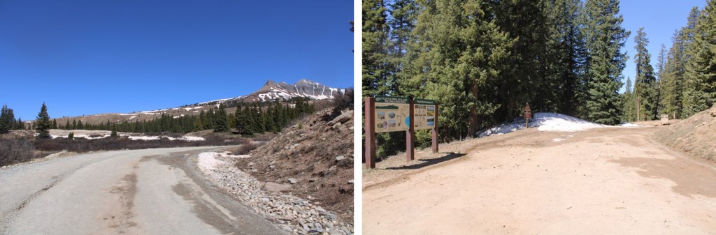
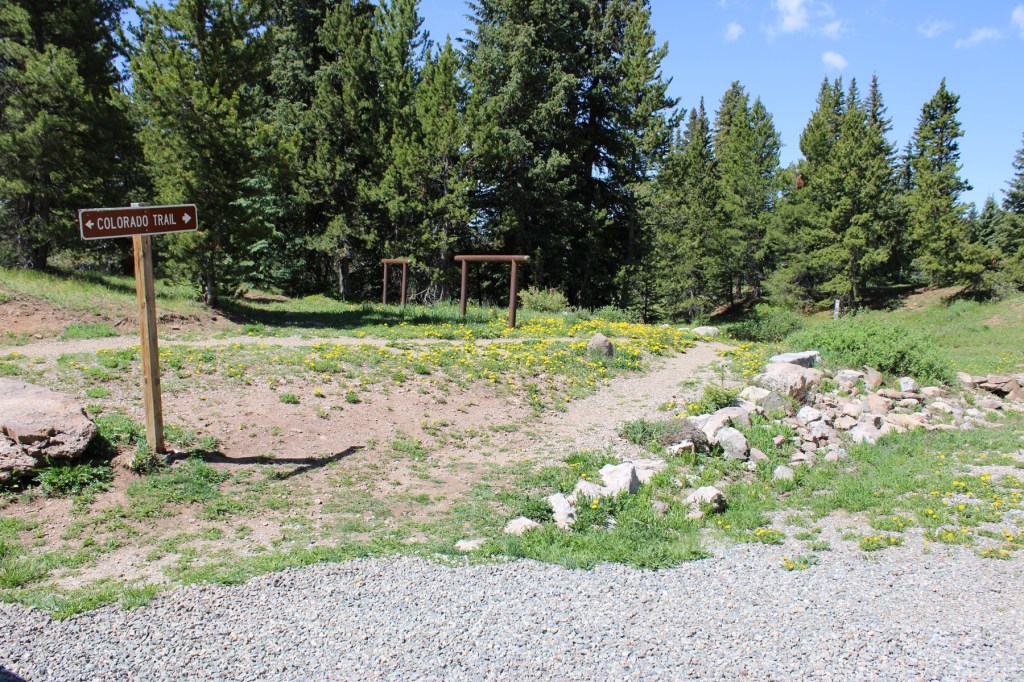
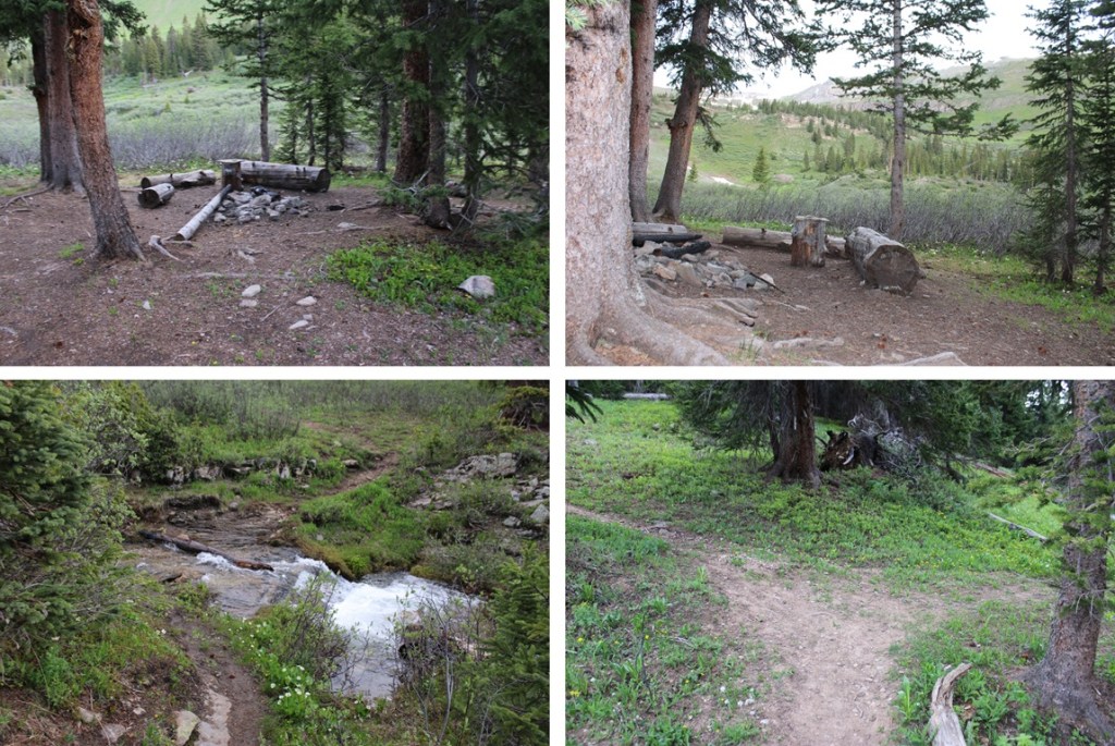
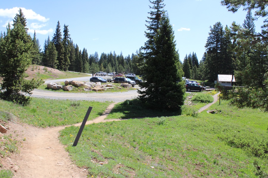
I started at the Colorado Trail Segment 25 Trailhead near Little Molas Lake. There are several dispersed campsites here, public restrooms (although the women’s side was closed for the season), and tons of parking.
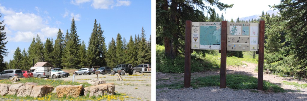
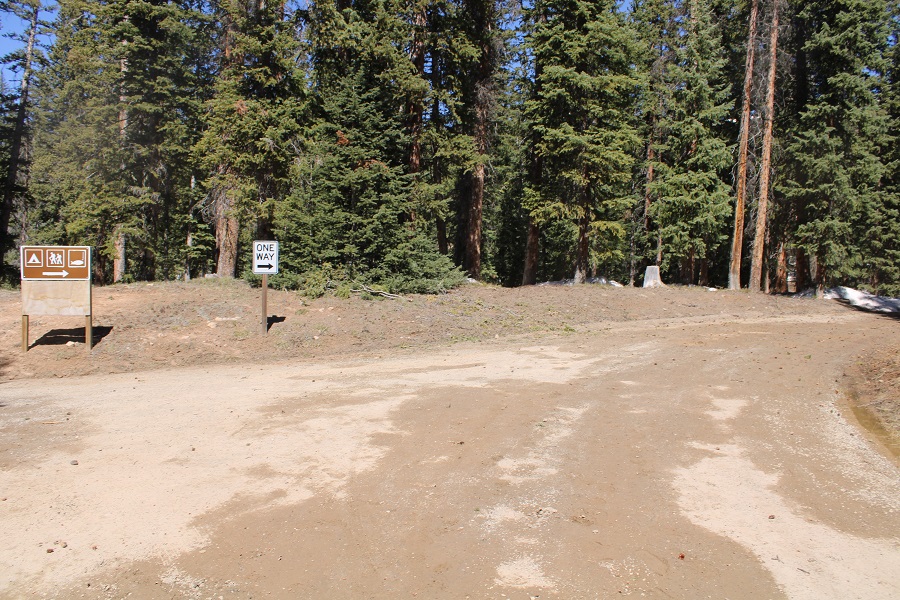
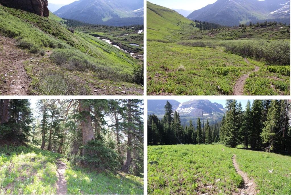
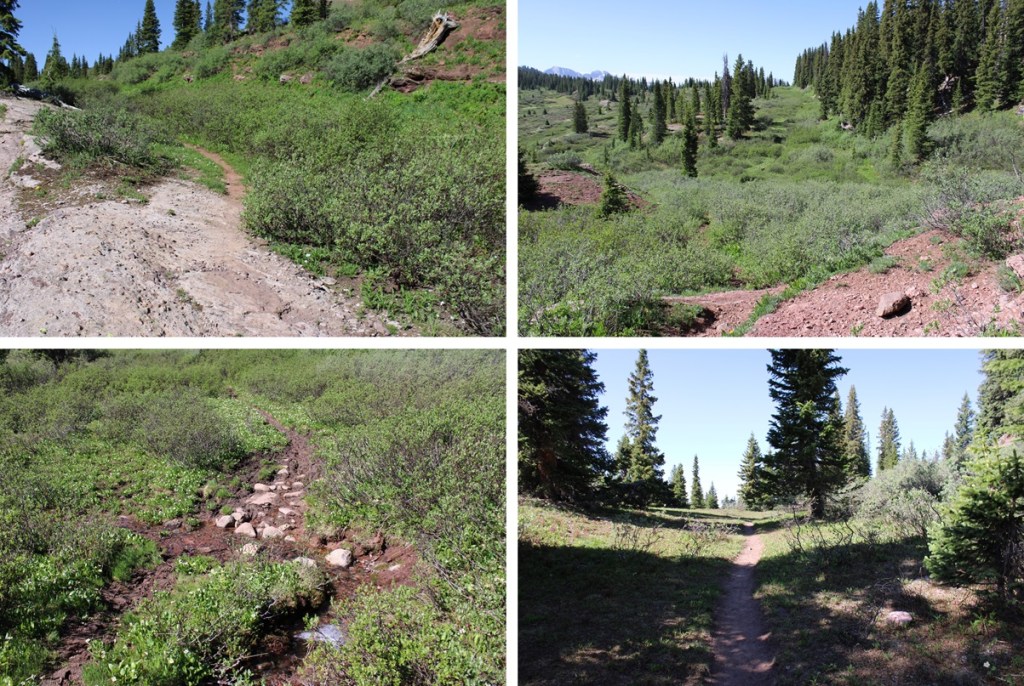
The trail is easily marked, and starts at the south end of the parking area
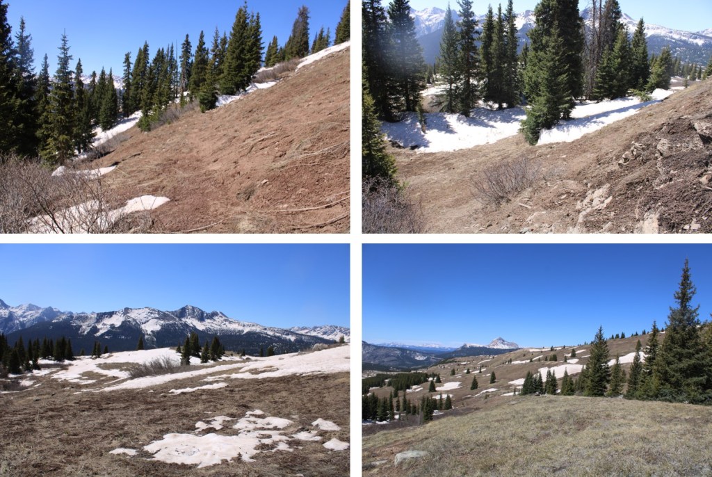
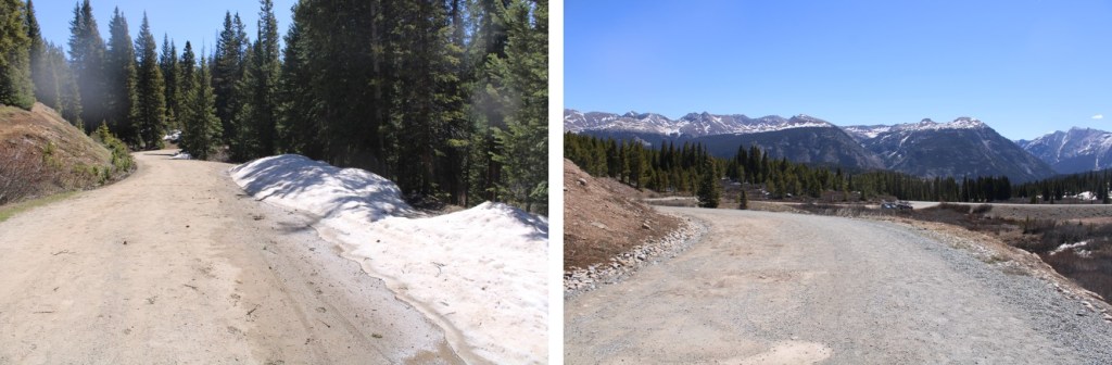
I followed this well-defined trail for just under 3.5 miles as it wove in and out of treeline. (Note, between miles 2-5 of this hike I gained and also lost a lot of elevation).
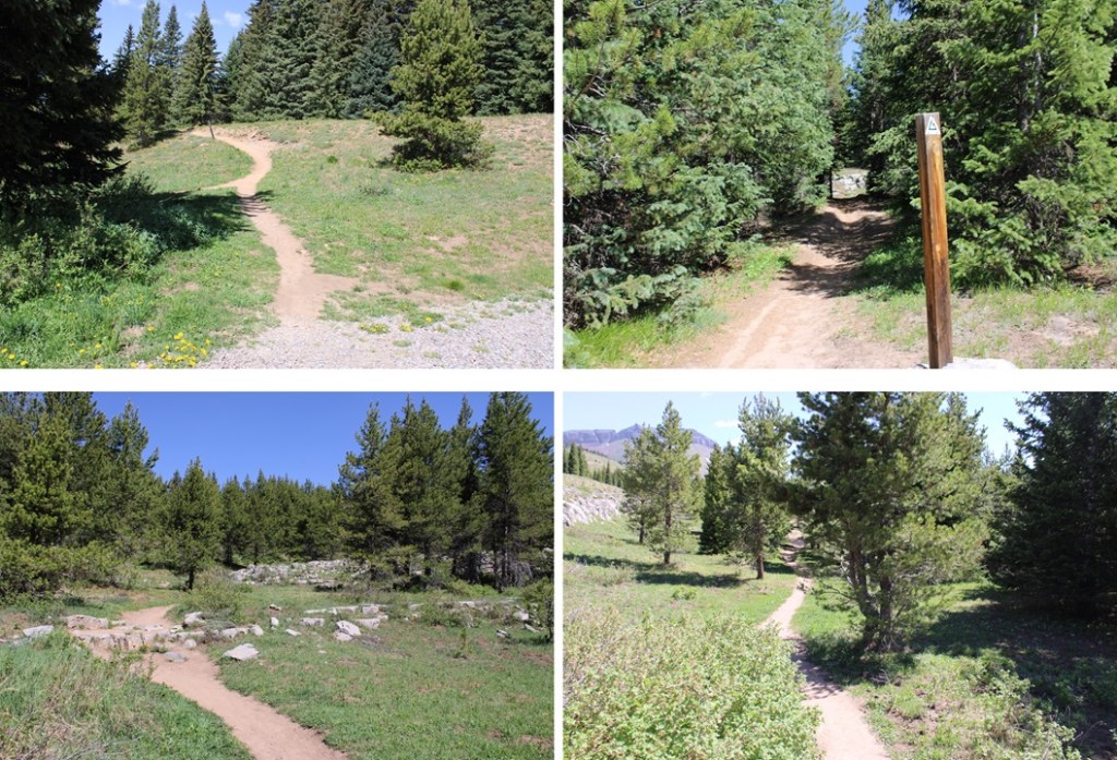
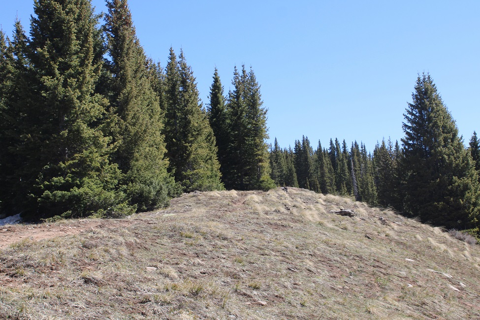
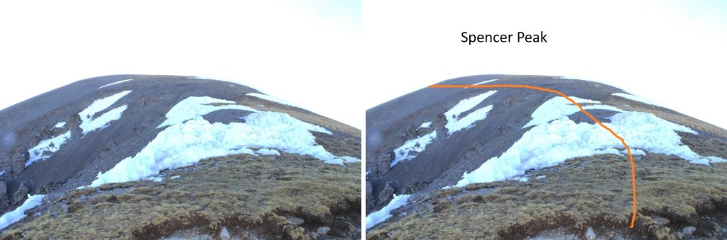
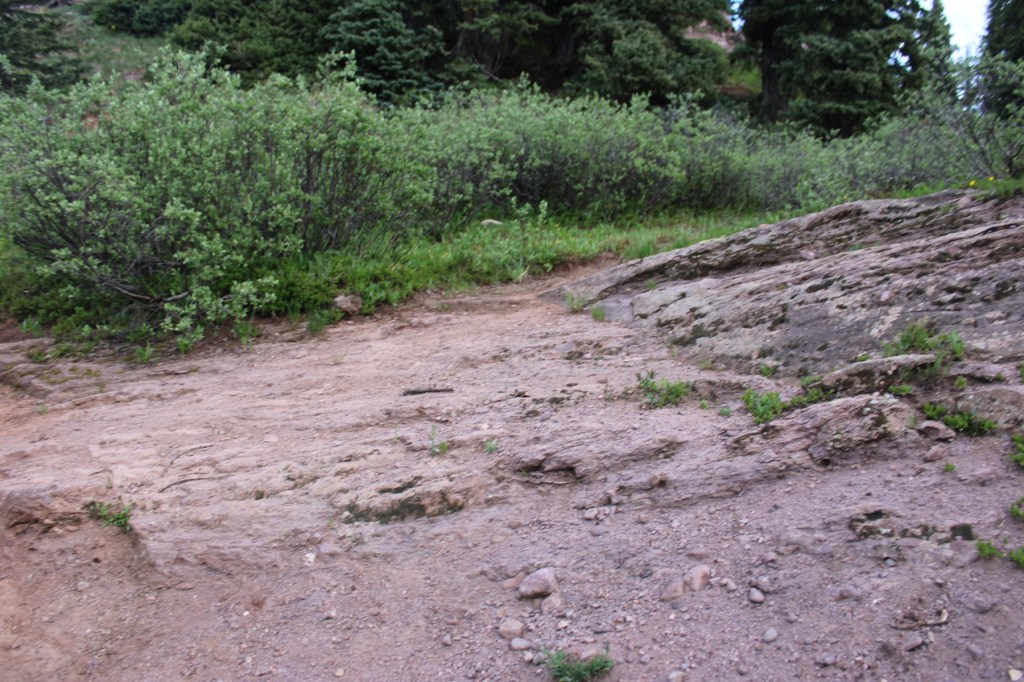
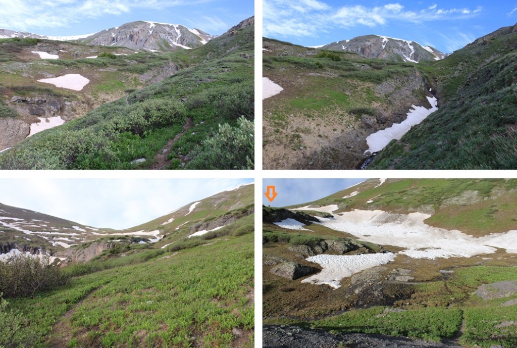
After hiking for just under 3.5 miles I found myself at the base of PT 12,864. The Colorado Trail continues to the left, but if you look closely, at the top of the rock formation here there is also a trail to the right. I left the Colorado Trail and took the trail to the right.
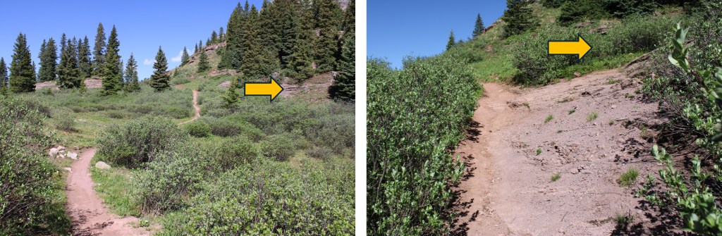
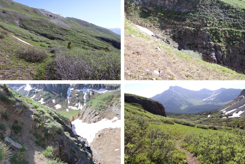
While not named, this is also a well-established trail. By the looks of all the tire tracks, it’s popular for the mountain bikers. It took me up and down and around to the north, towards Putnam Basin.
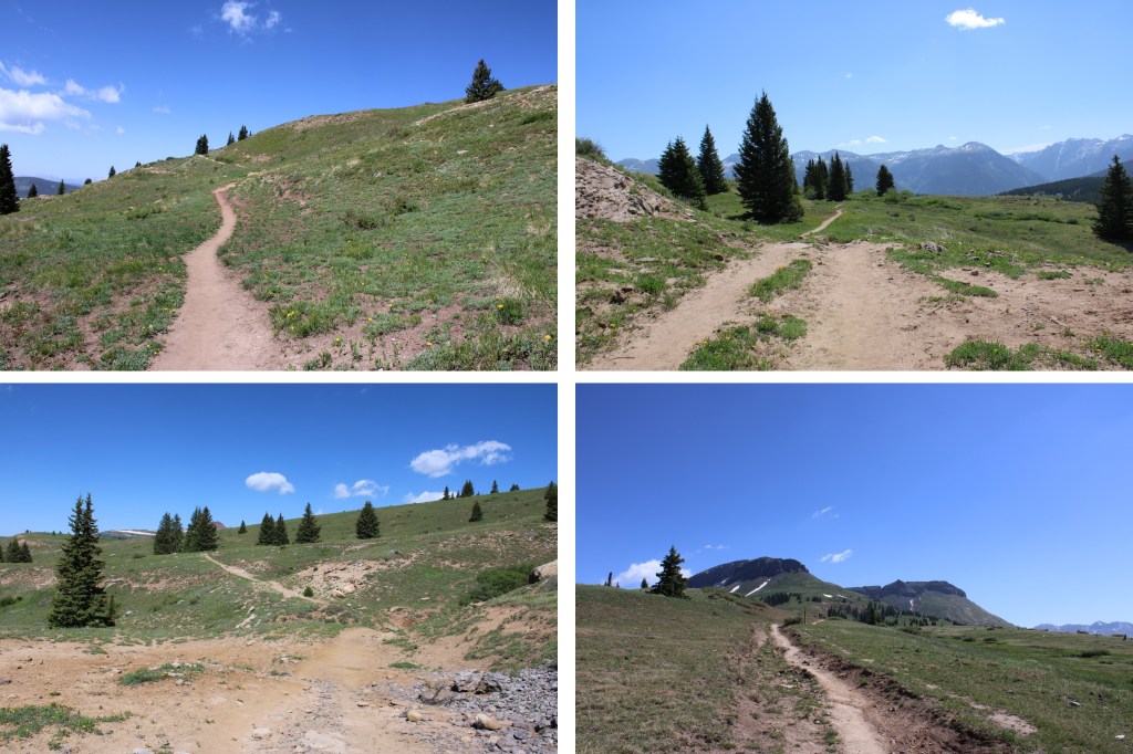
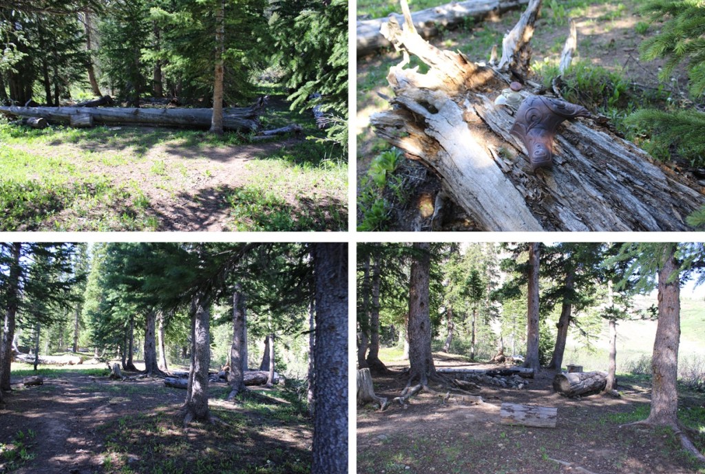
Just before the basin were a few campsites, and a creek to cross. There are a few social trails in the area due to the campsites, so if you’re given the option, go left.
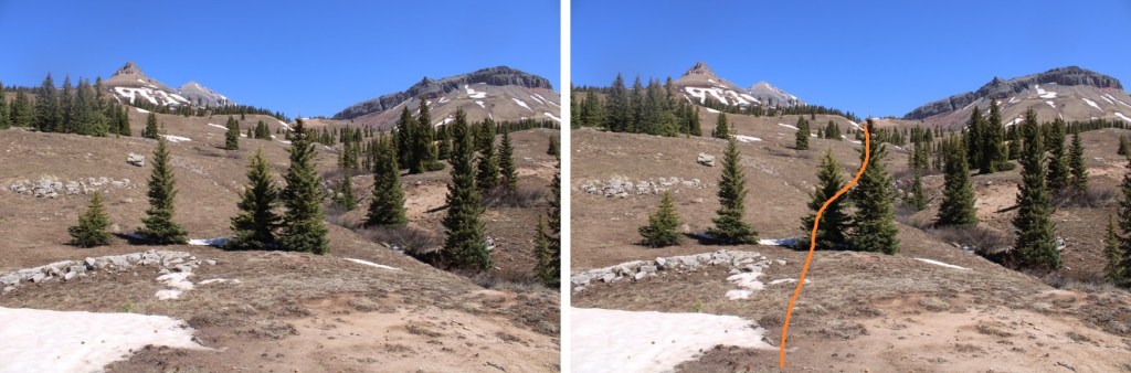
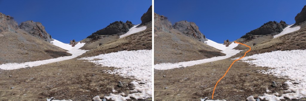
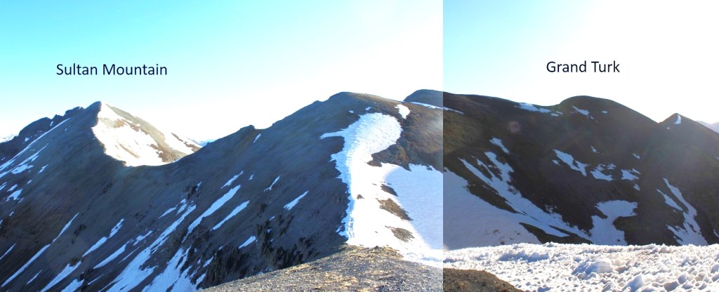
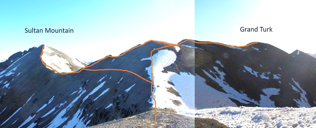
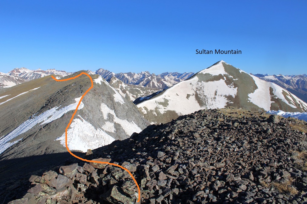
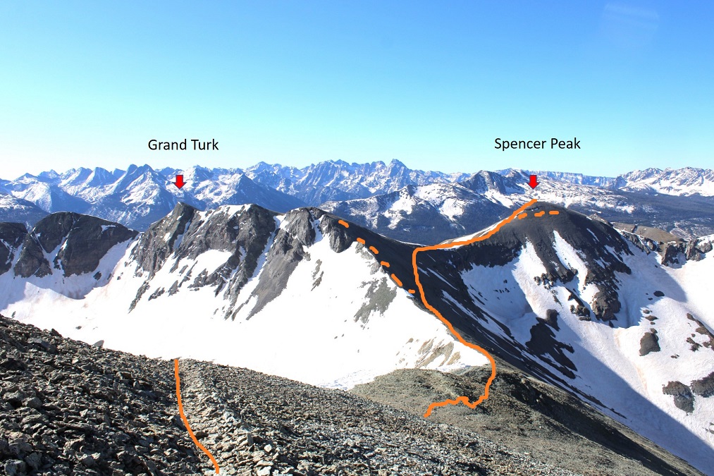
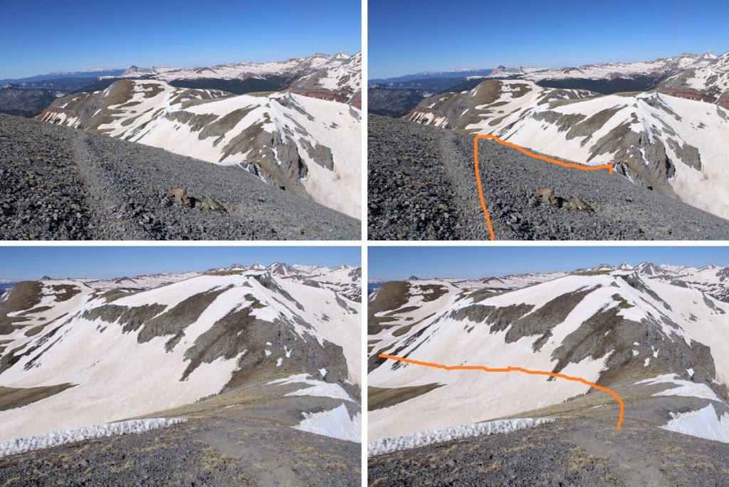
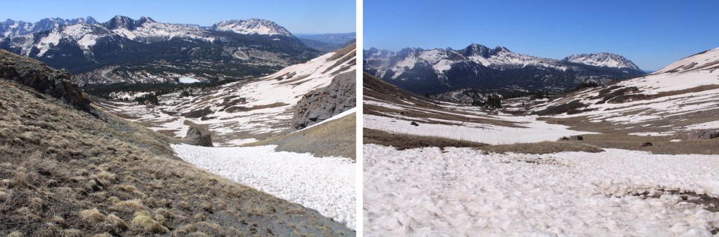
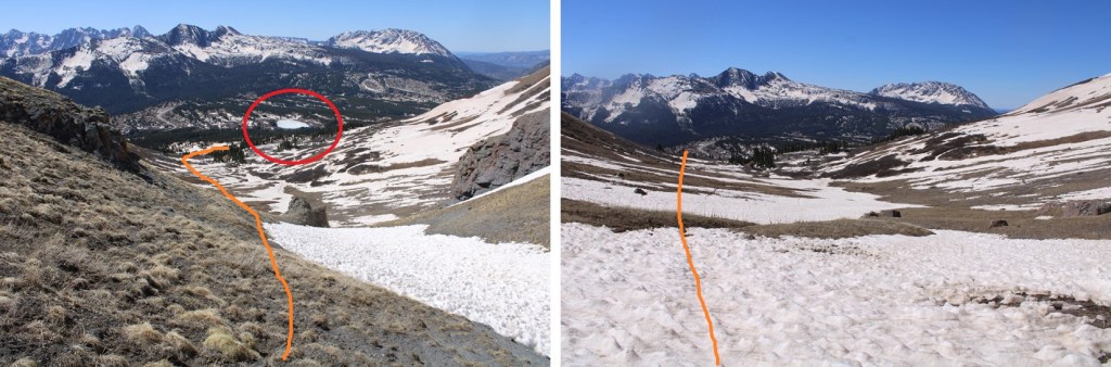
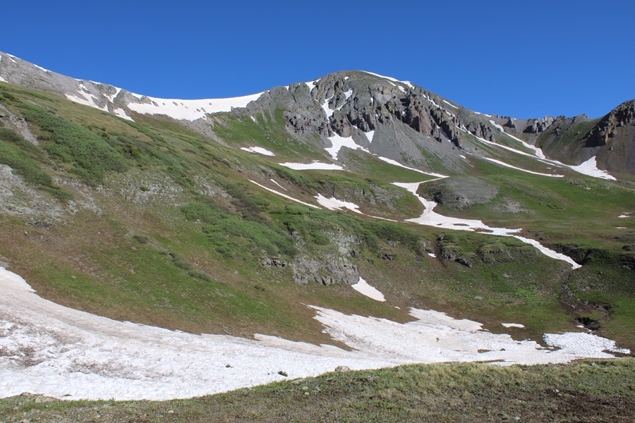
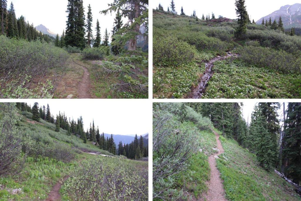
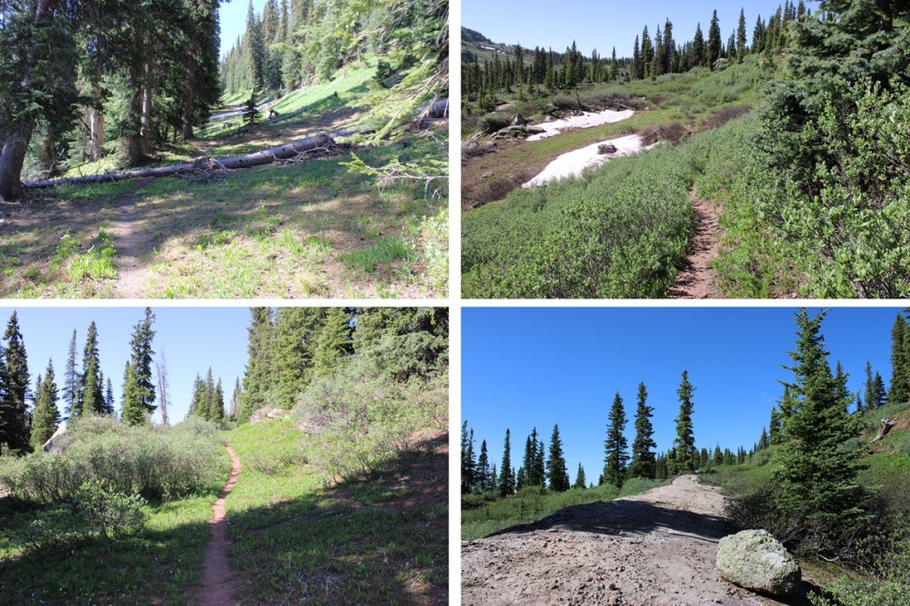
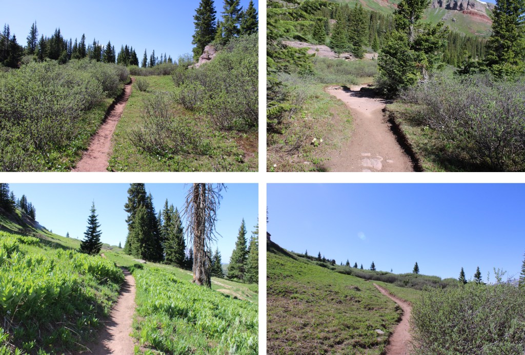
Now at the base of Putnam Basin, I had a clear view of the route ahead of me. No more losing elevation, I would just be gaining for the rest of the hike. This is still on a class 1 trail, all the way to the saddle.
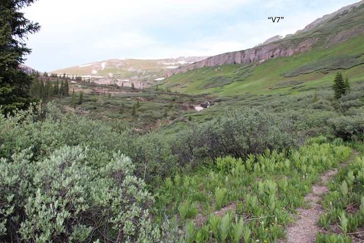
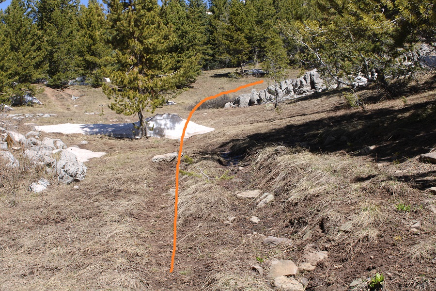
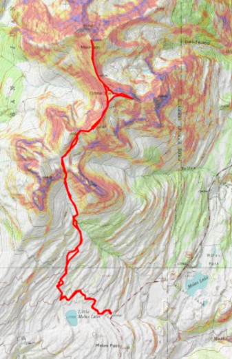
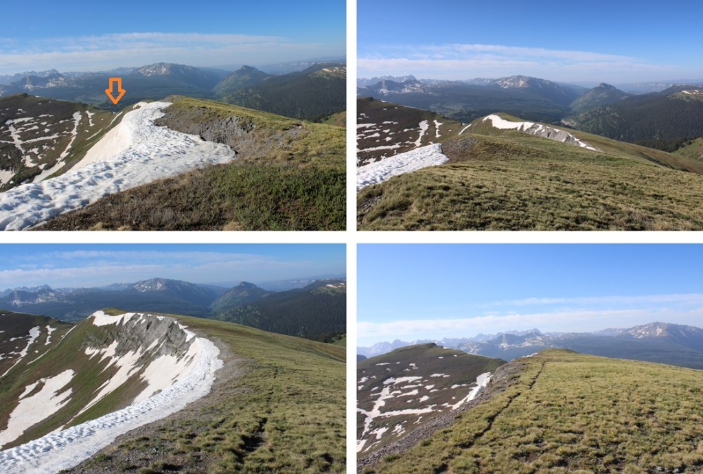
This is the route I took
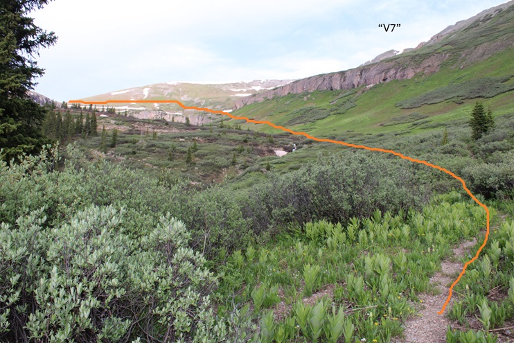
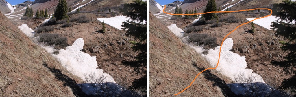
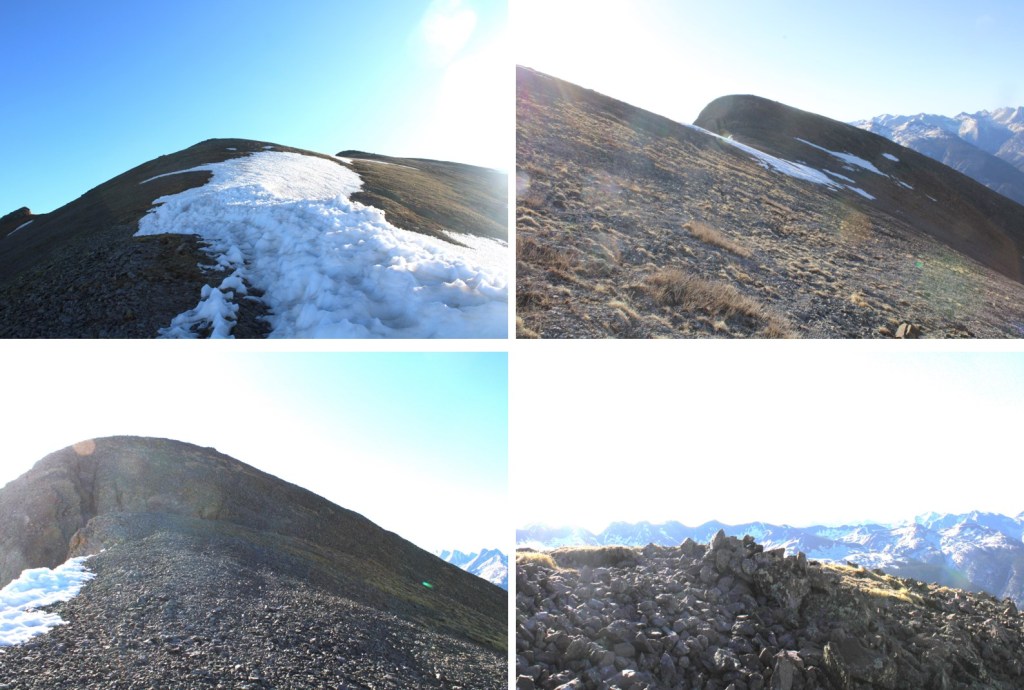
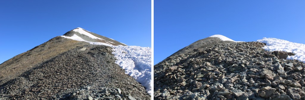
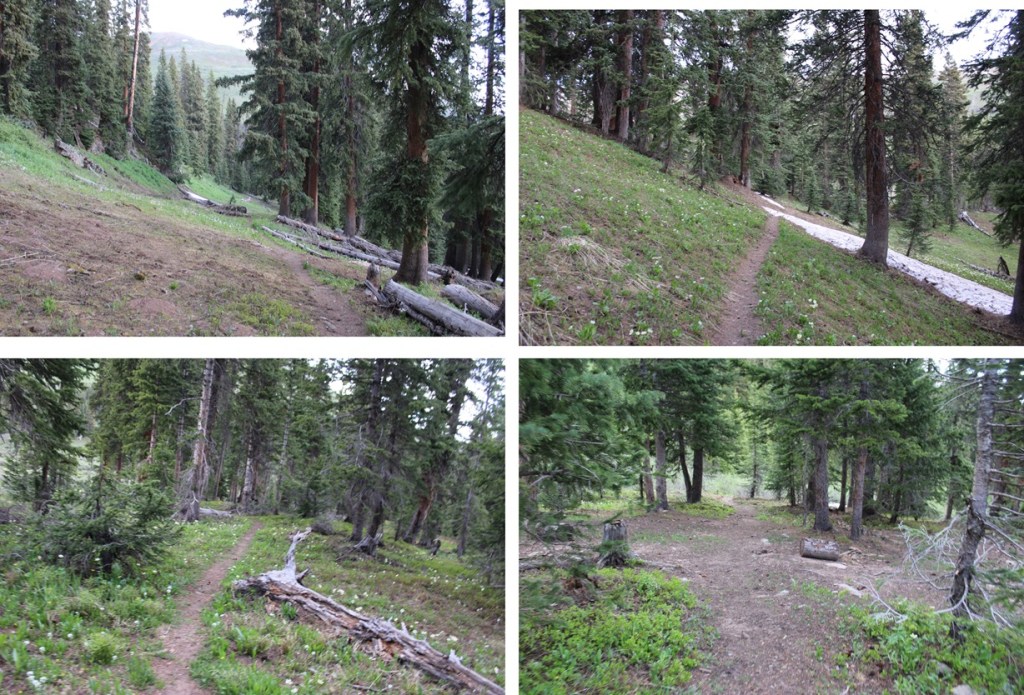
And some step by step pictures of the route:
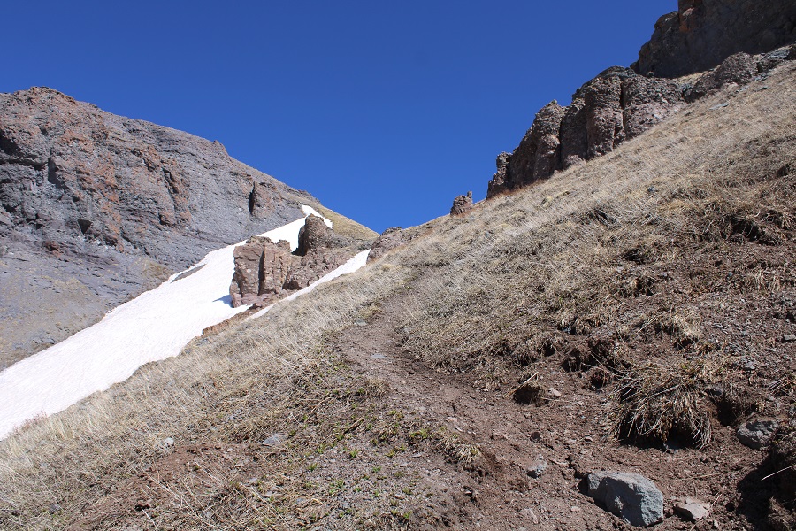
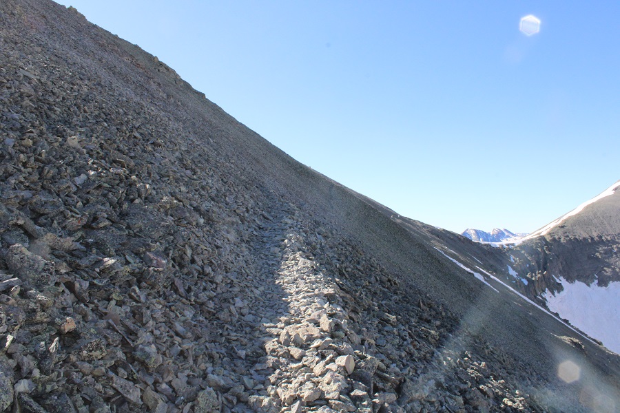
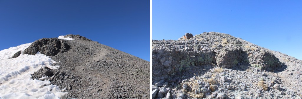
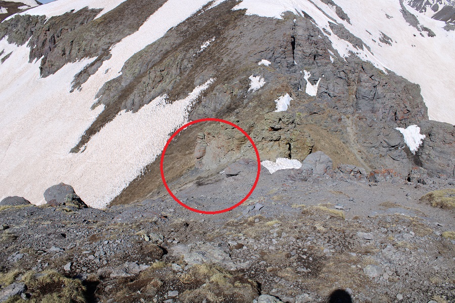
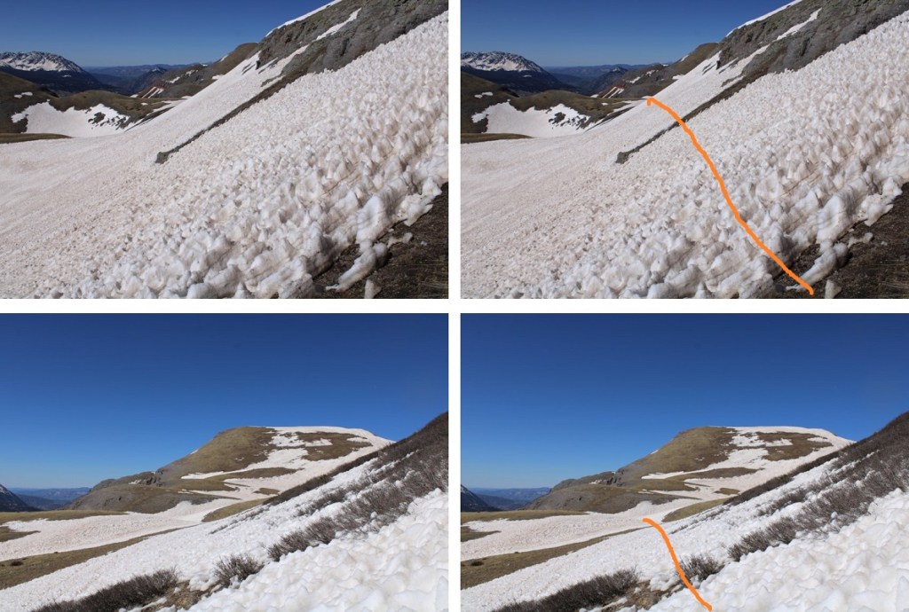
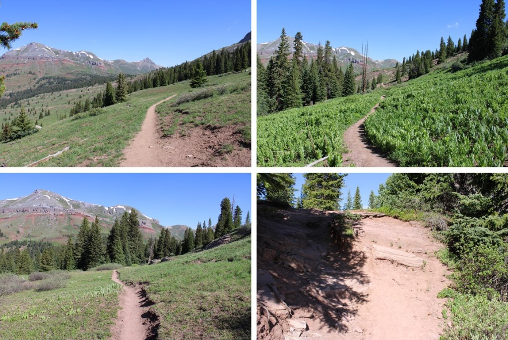
Just before the ledge that brought me to the saddle there was some snow on the route, so I had to get a little creative. It’s all straightforward though, and there are several cairns to follow if you cannot see the trail. I just aimed for the saddle.
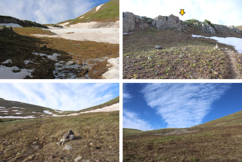

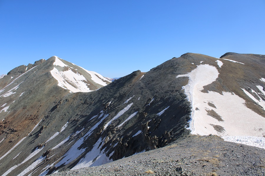
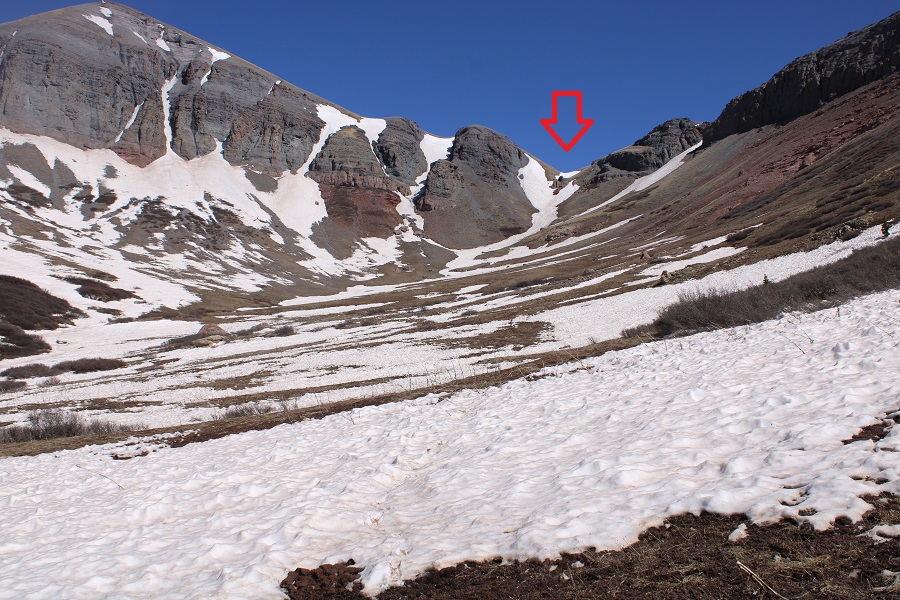
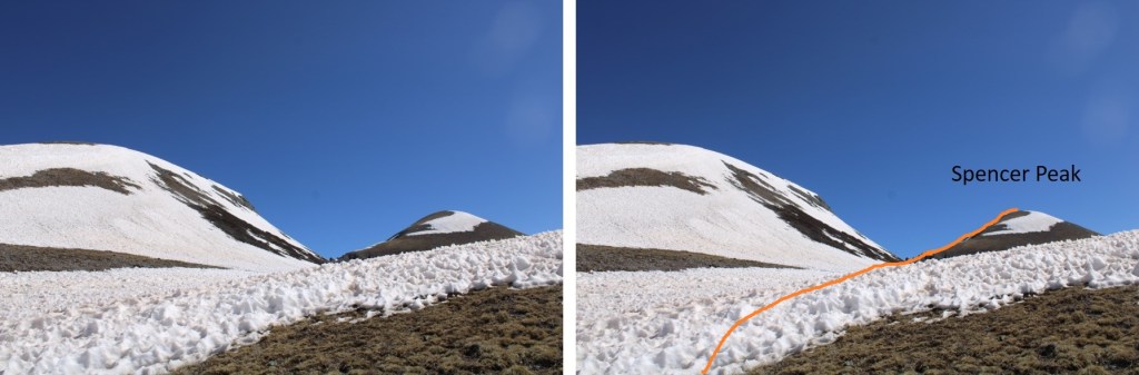
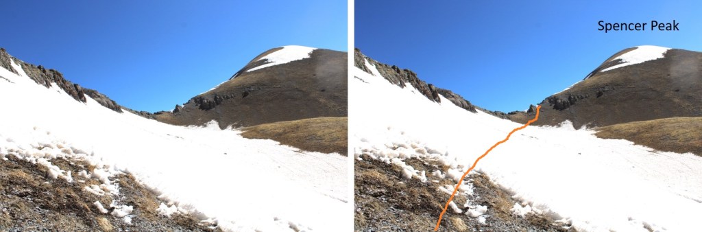
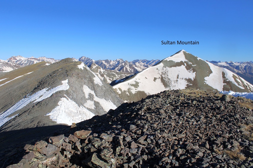
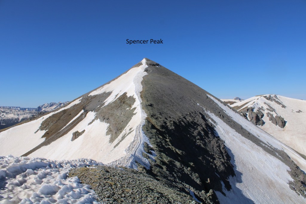
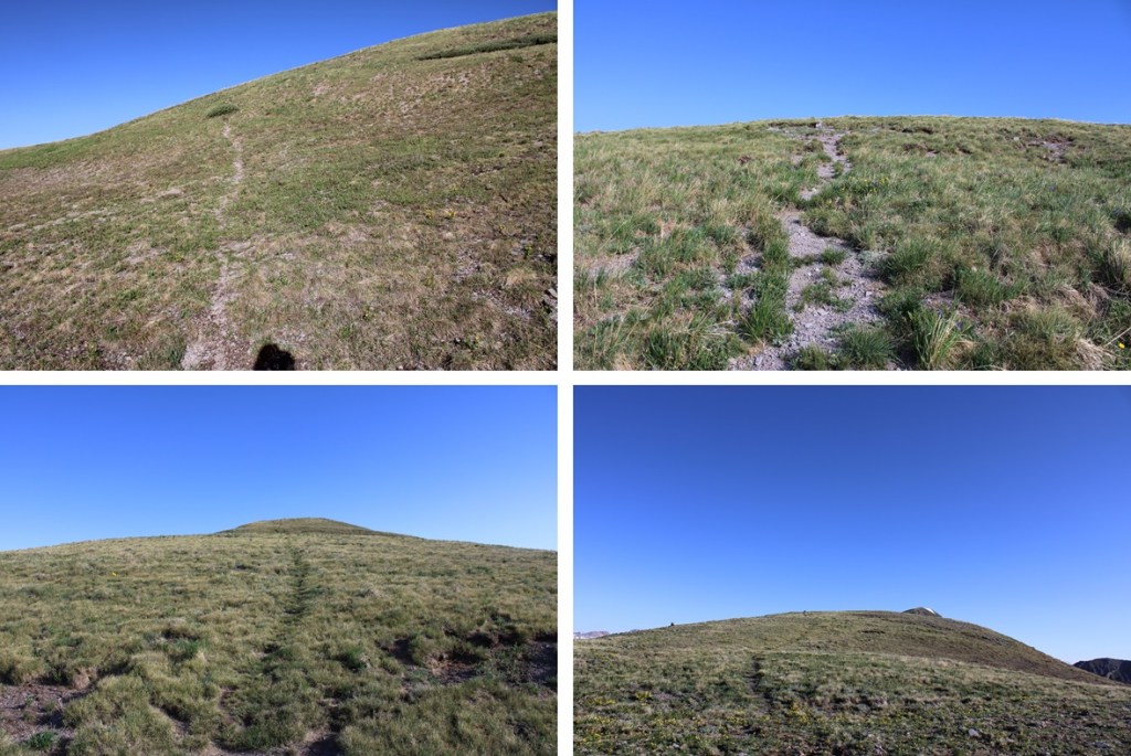
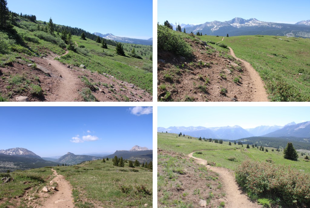
Once at the saddle, I turned right and followed the ridge north to the summit. If you’re lucky, you’ll find a game trail that leads all the way to the summit. Just make sure you stay on the ridge proper, as there’s a trail that goes to the left as well that will skirt “V7” and bring you towards Twin Sisters. The ridge is tundra the entire time.

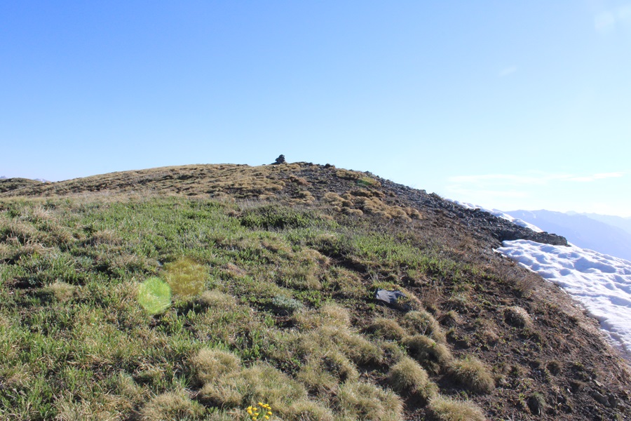
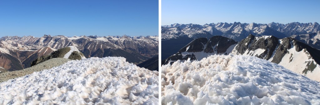
I summited “V7” at 7:45am
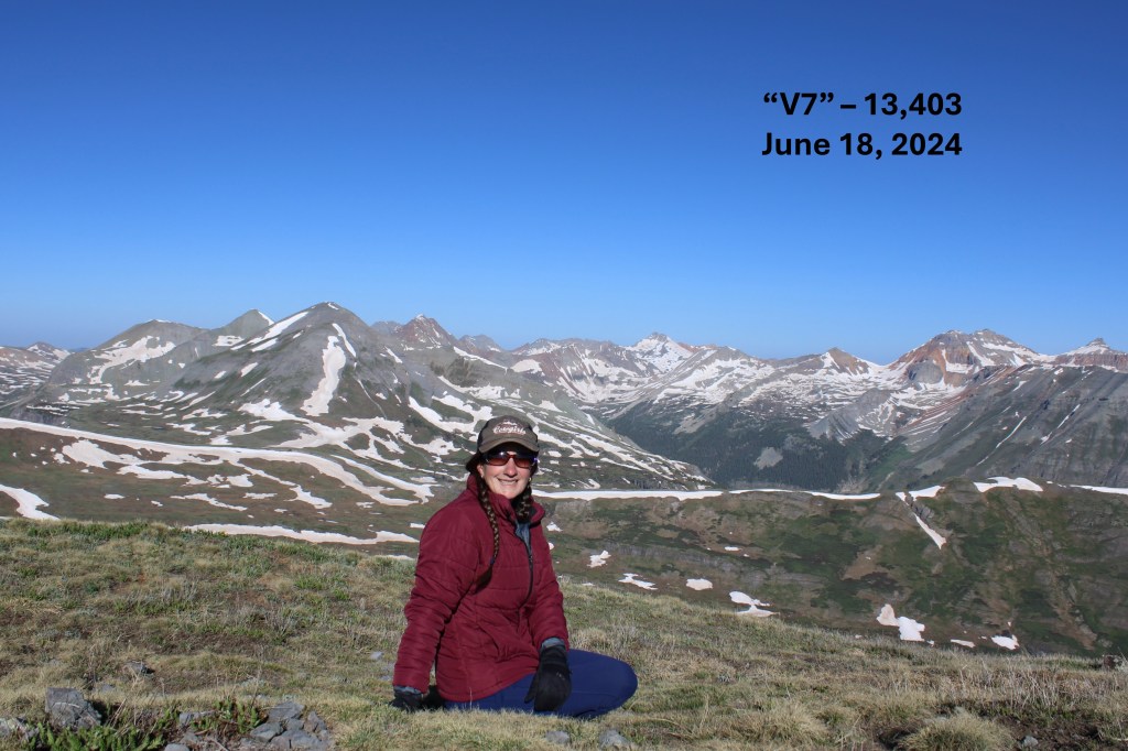
“V7”:
Now to head back down. This was an out and back hike for me, so I turned around and followed my route in. I followed the ridge and headed south, back to the saddle.

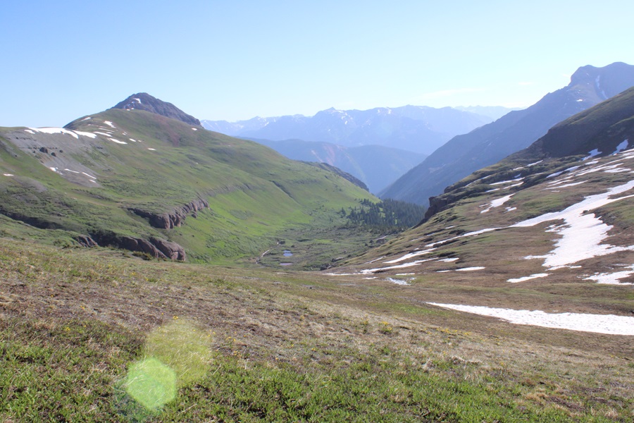
Here’s a view from the saddle of Putnam Basin.
At the saddle I turned left, and headed northeast, following the cairns back to the trail

I picked up the trail again, and followed it down the basin, sticking to the left side of the basin/creek.

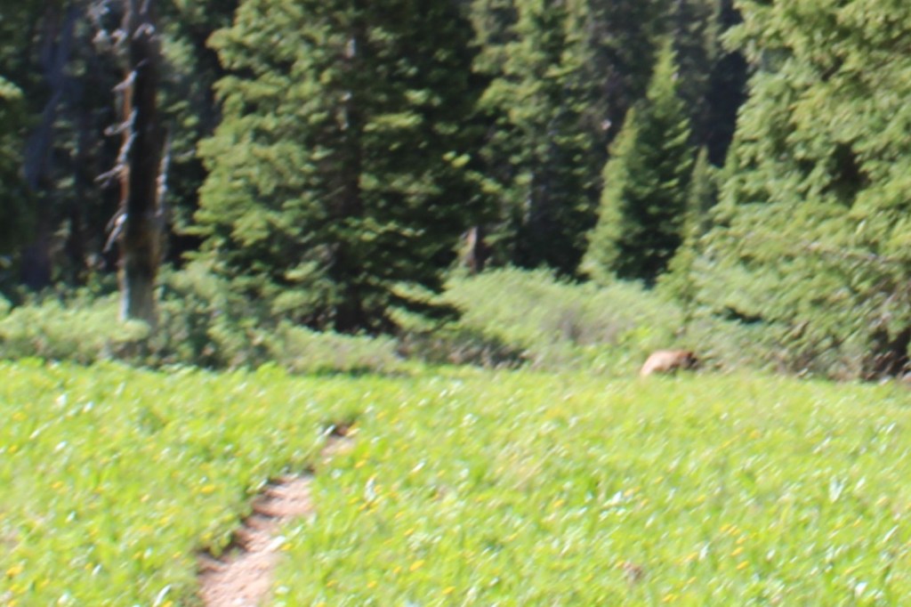
I’d seen quite a few deer that morning. Mostly from afar, but deer nonetheless. As I was nearing the camping area near the base of the basin I saw one running towards me in a funny way, and realized quickly it wasn’t a deer, but a bear. As soon as the bear noticed me, it jumped 90 degrees, and started running the other way. I kind of got a picture, but it’s fuzzy, as the bear was quick.
I started wondering what the bear had been running from? About 20 feet later, I realized what it was: I spied a mama moose with her calf.
I hid behind a tree to watch them while giving them space. I love watching moose calves, especially the really young ones. They tend to bounce around everywhere, turning in circles, braying, and excited about life in general. After this video the calf got really jumpy, but I’d already turned around and started hiking away so as not to bother them.
Mama moose with calf:
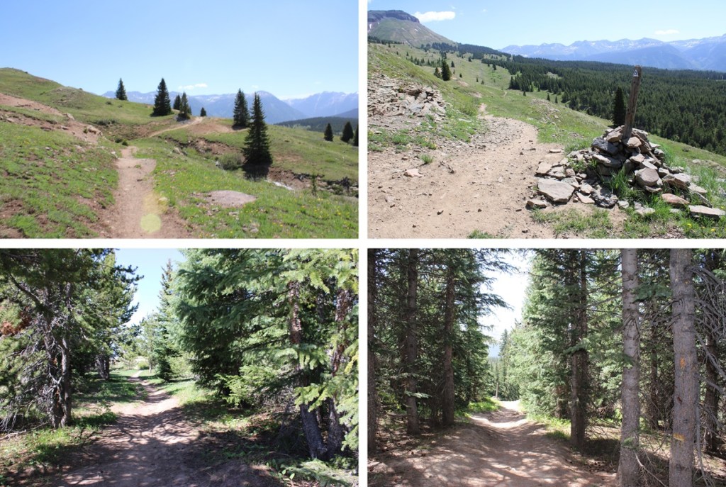
I passed the camping area, and continued following the trail, now headed south (and uphill).
I made it to the Colorado Trail cutoff, turned left, and followed it 3.5 miles back to the trailhead.

I made it back to the trailhead at 10:30am, making this a 13.78 mile hike with 3029’ of elevation gain in 5 hours 15 minutes.

On to the next trailhead!