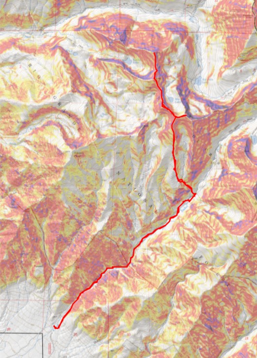
RT Length: 15.63 miles
Elevation Gain: 6250’
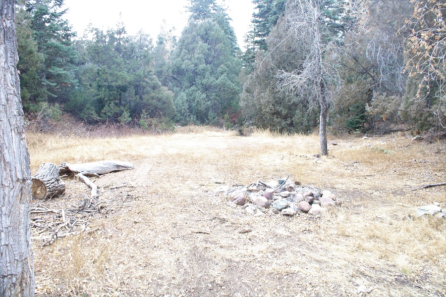
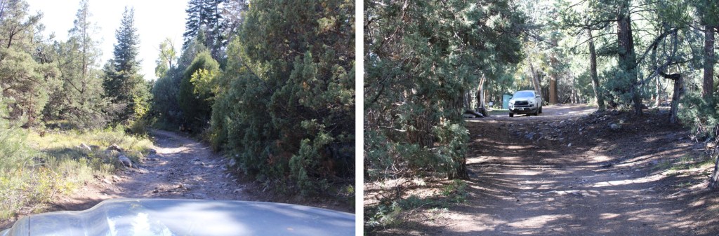
The last mile to the San Isabel Creek Trailhead was 4WD, but there were tons of campsites along the way. Since it’s hunting season, a few of them were taken and I parked at the end of the road.
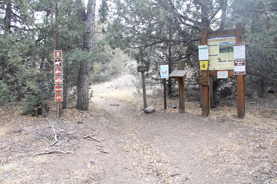
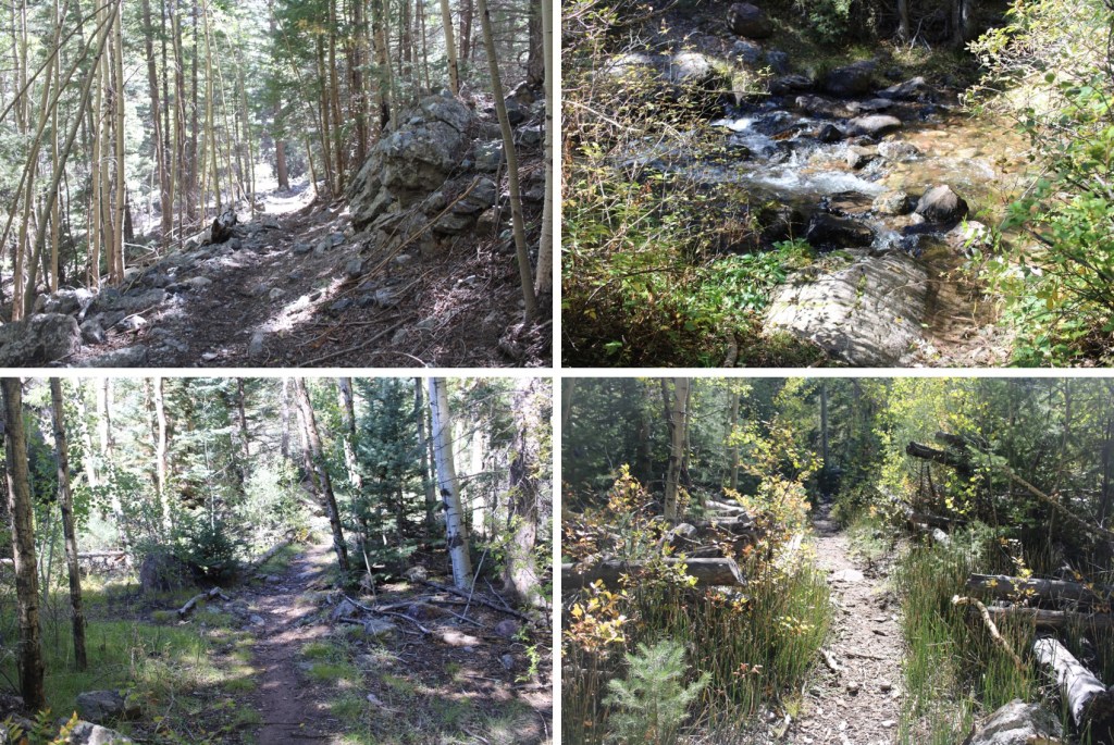
There was a faint trail at the end of the campsite that led me to the trailhead
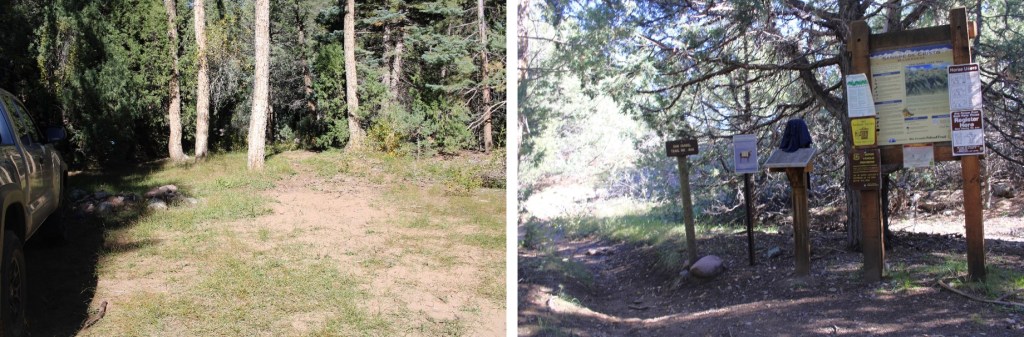
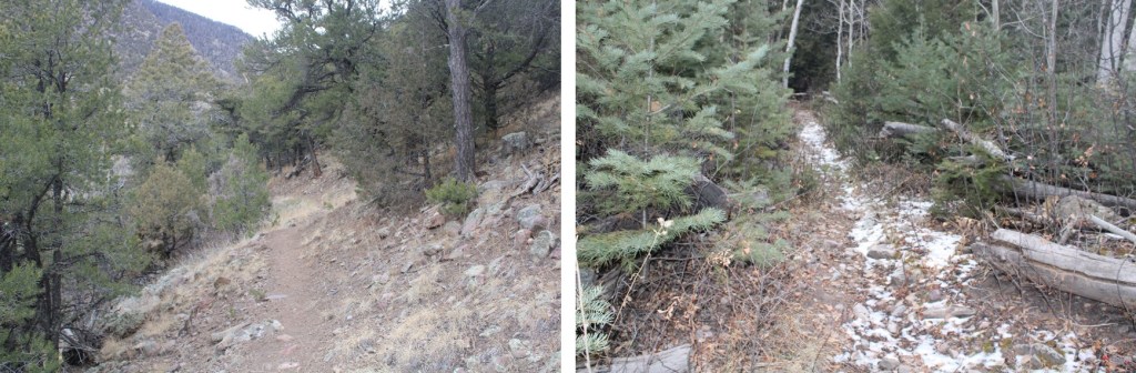
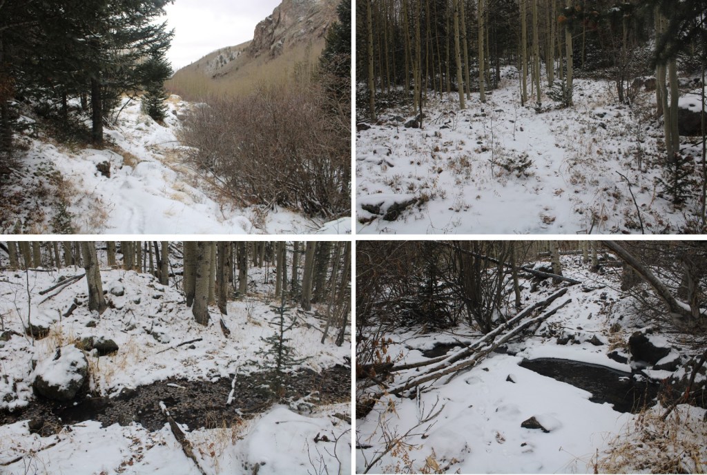
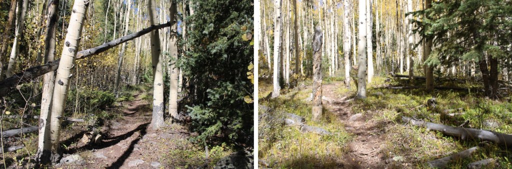
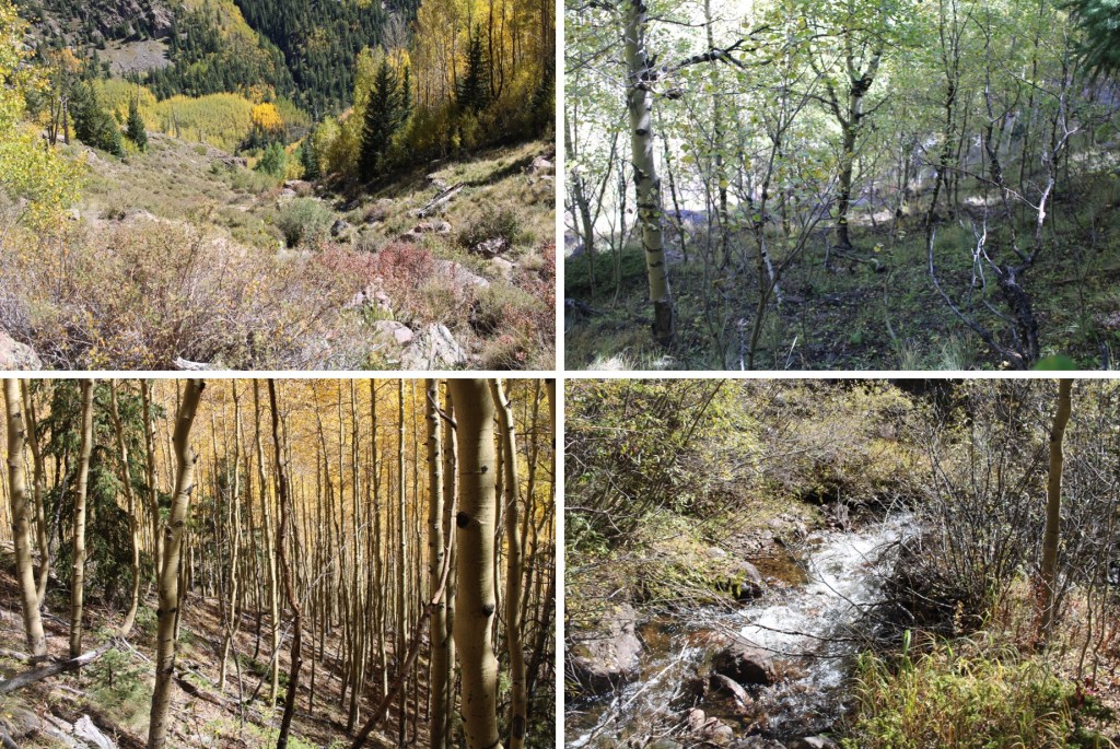
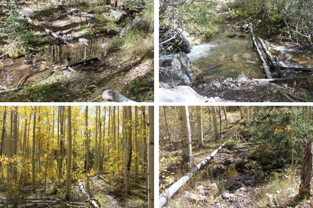
I followed the San Isabel Trail No. 858 East, on a well-defined, class 1 trail.

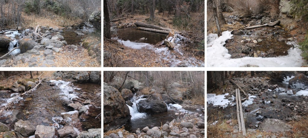
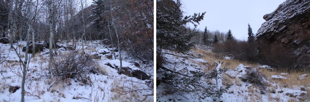
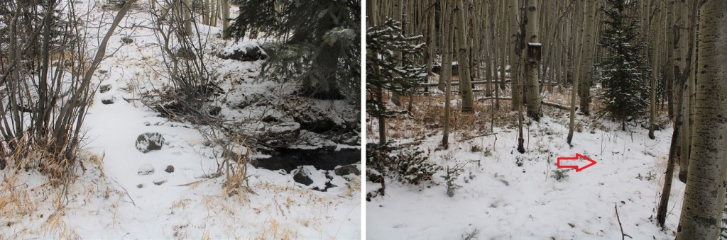
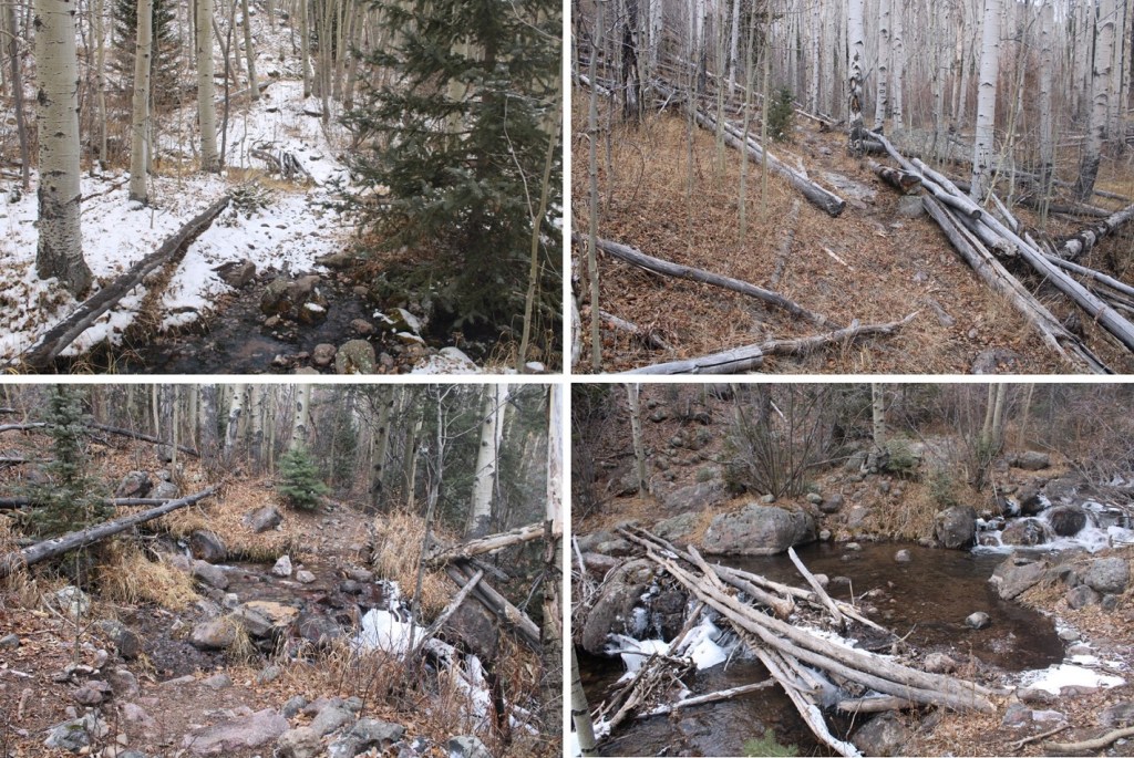
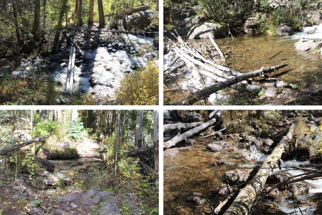
There were several creek crossings. Since it was late September, they were all easily manageable, without creek crossing shoes. The last time I was in the area I think I counted a minimum of 9 crossings.

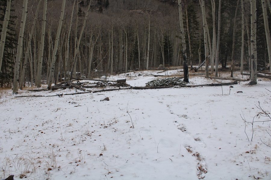
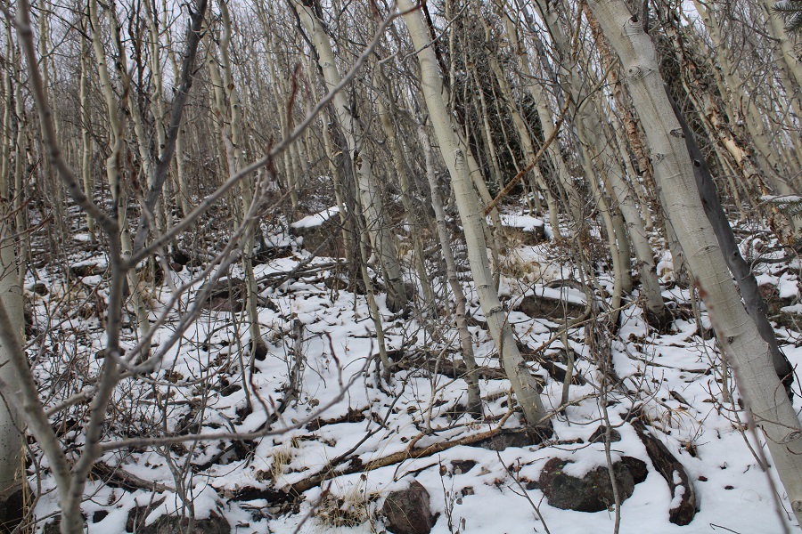
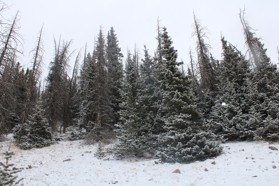
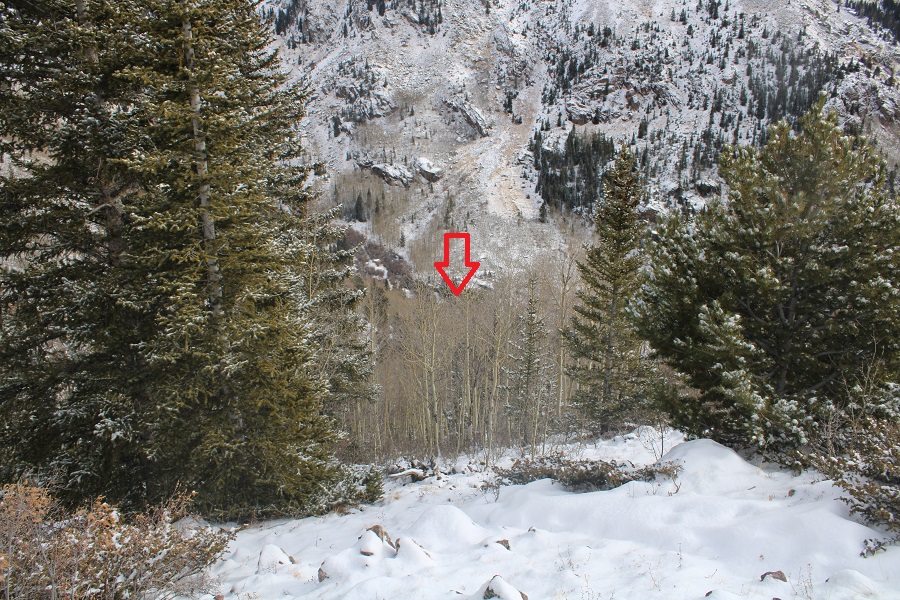
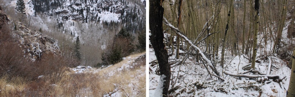
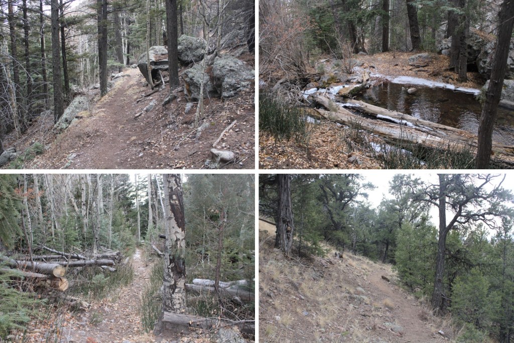
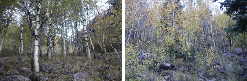
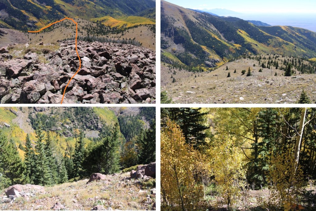
After hiking for about 4.4 miles, and at 10450’ of elevation, I left the trail and headed northwest up this drainage. There was some bushwhacking, as the trees in the slide area seem to be growing back
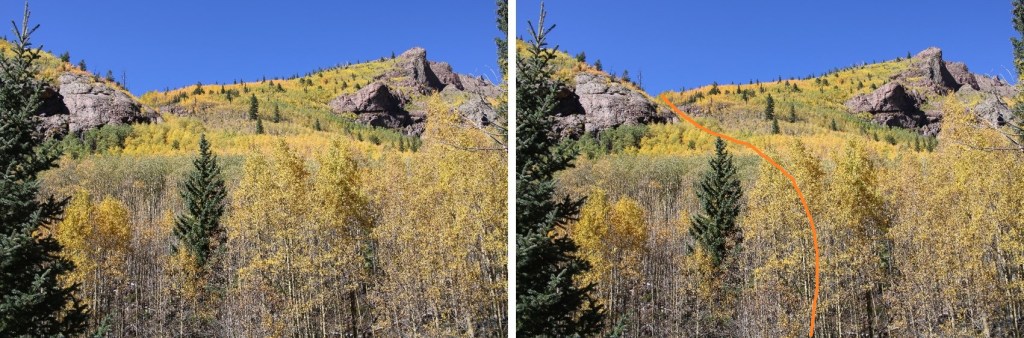
I crossed San Isabel Creek, and made my way up the drainage

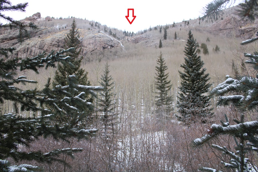
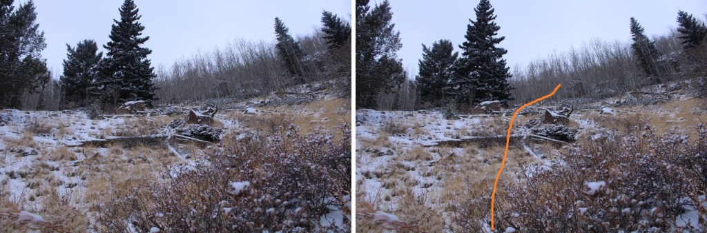
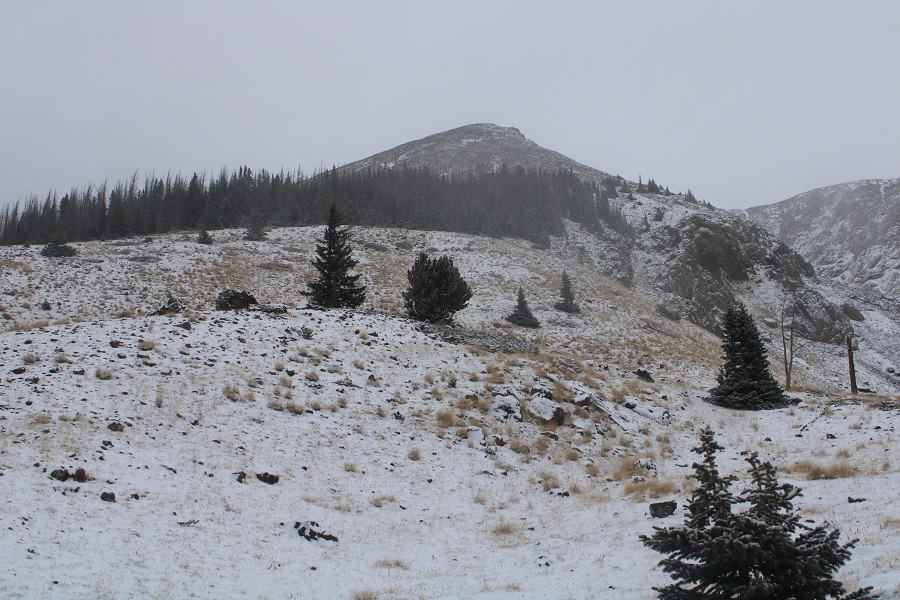
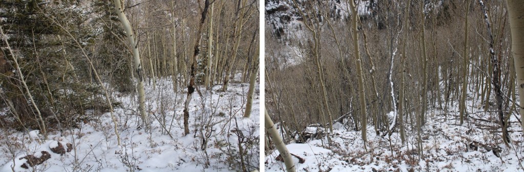
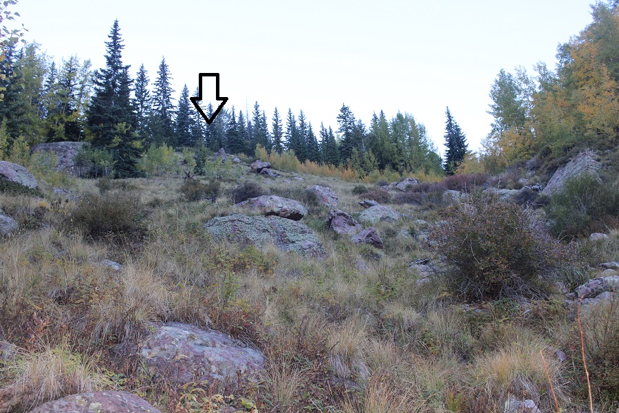
I ended up going back and forth on either side of the drainage, looking for the best route. There are some minor game trails in the area, but once you make it to the clearing you want to ascend the ridge to your left.
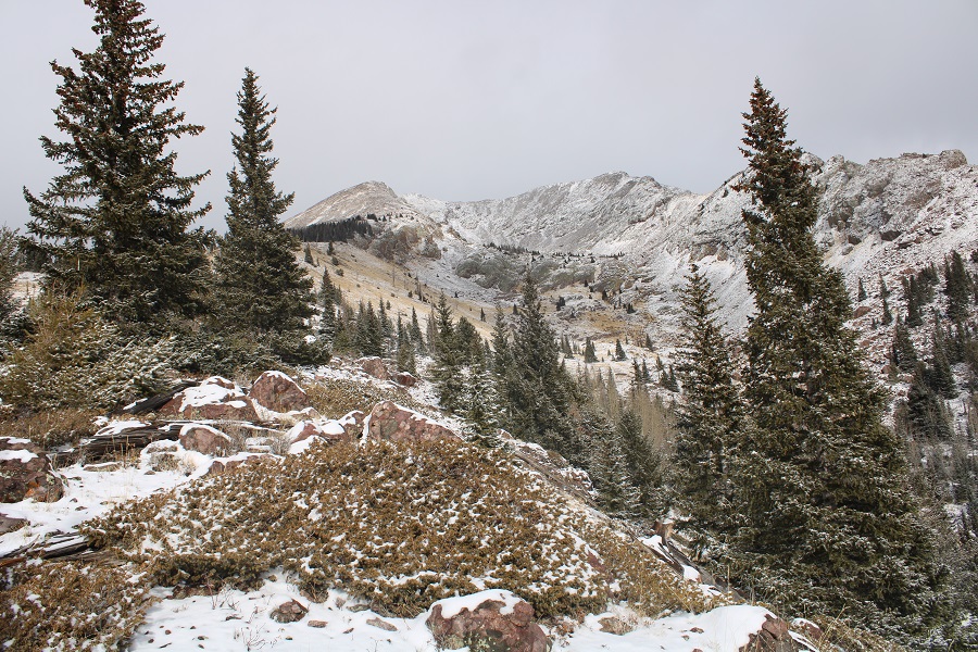
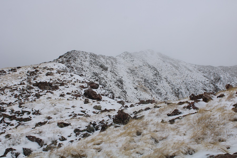
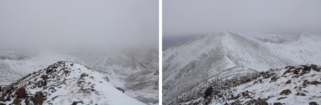
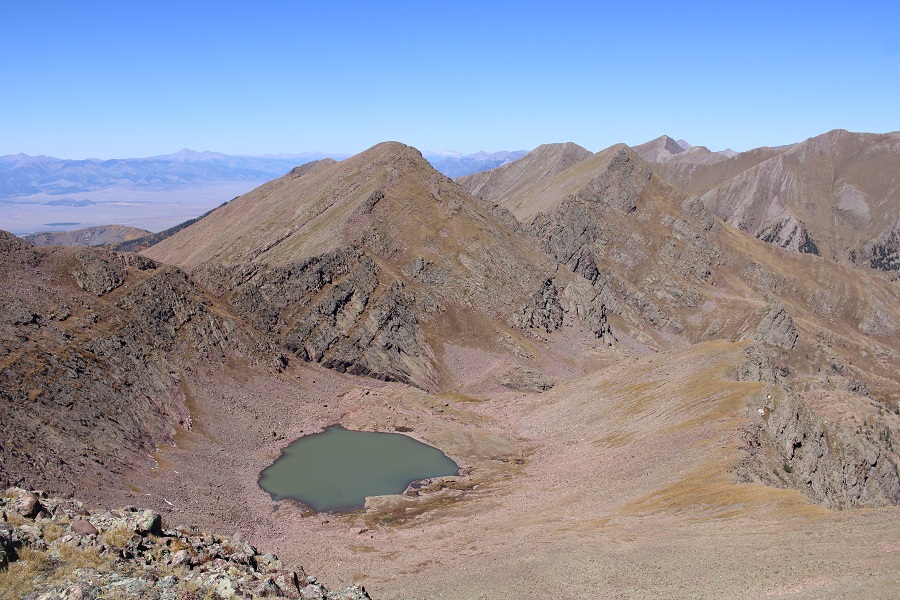
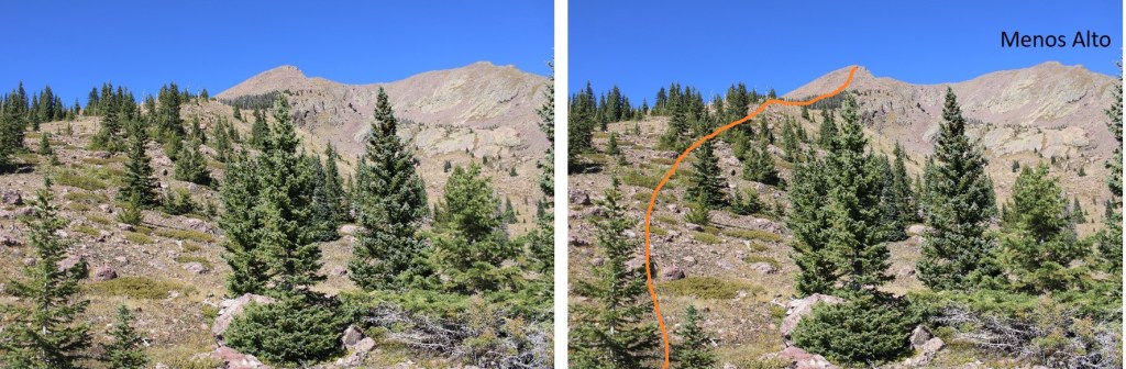
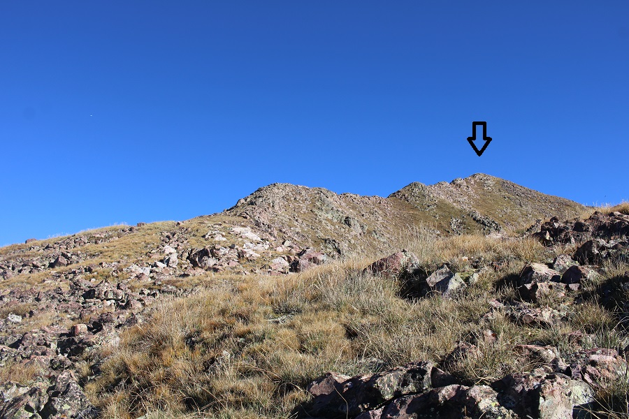
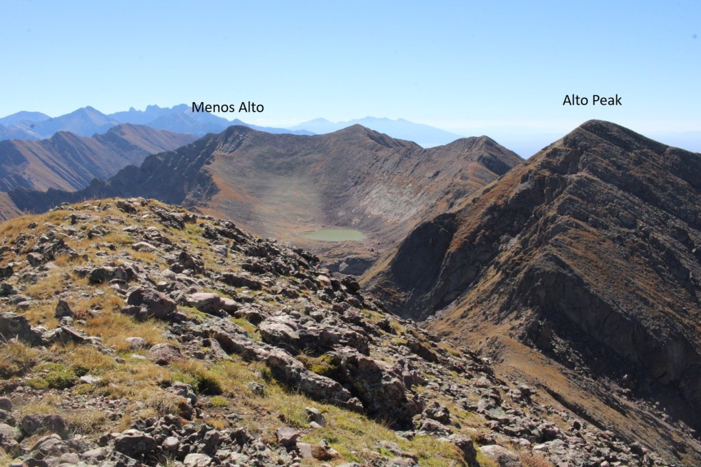
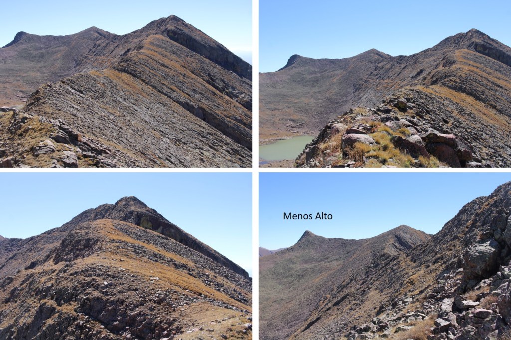
Once on the ridge, I followed it north. As you can see, Menos Alto is to the right. However, I’d already summited that peek, so I left it today for last.
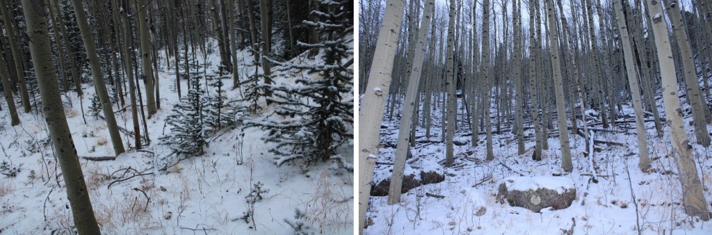
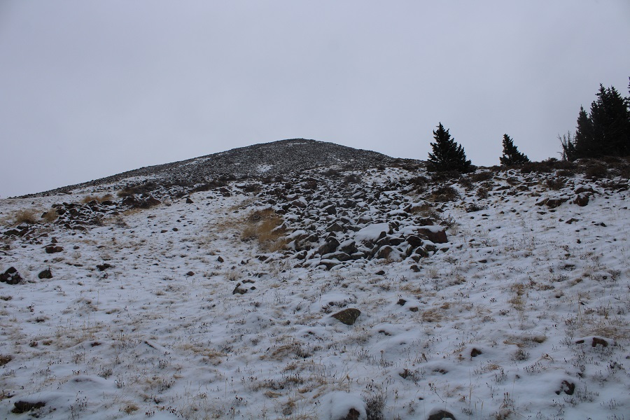
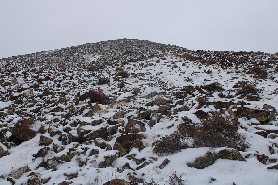
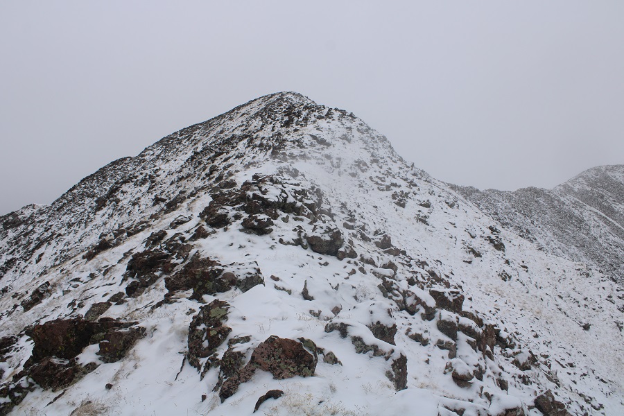
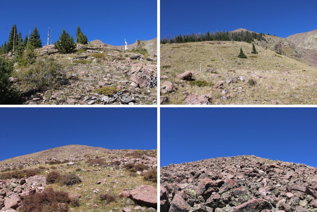
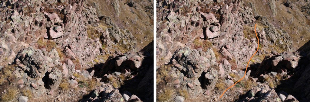
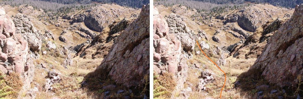
Here are some pictures of the route up the ridge. It started out as tundra, then I entered the trees for a short bit, and exited to class 2 rock hopping.
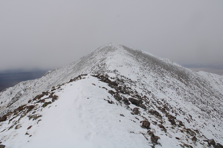
I continued following the rocky ridge (class 2) northeast to this point, which is not a summit.
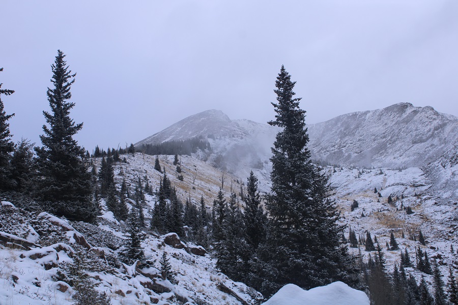
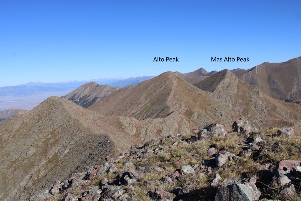
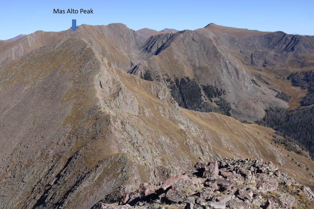
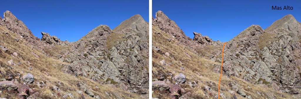
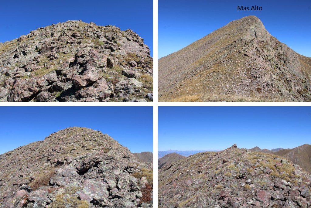
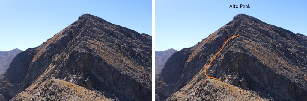
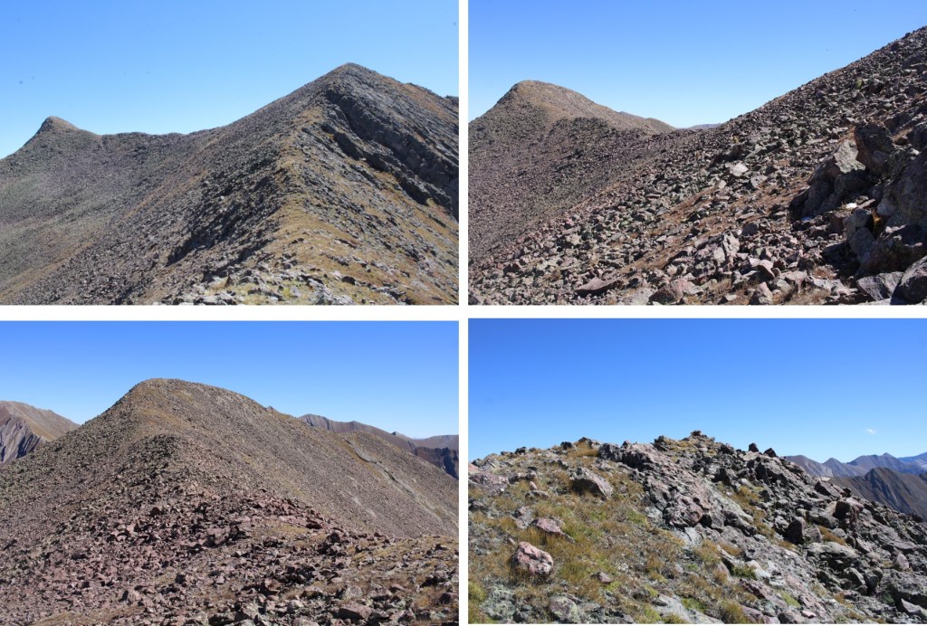
From there, I could see my next two objectives to the northwest, Alto Peak and Mas Alto Peak
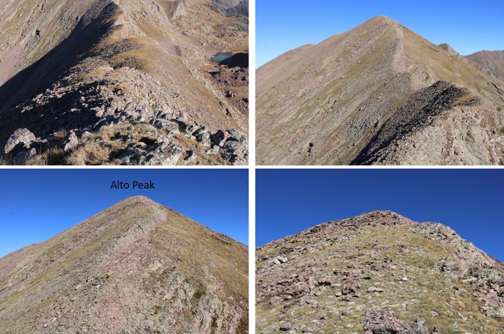
I followed the class 2 ridge northwest to the first point, which was unranked

It was then a class 2 hike to the summit of Alto Peak
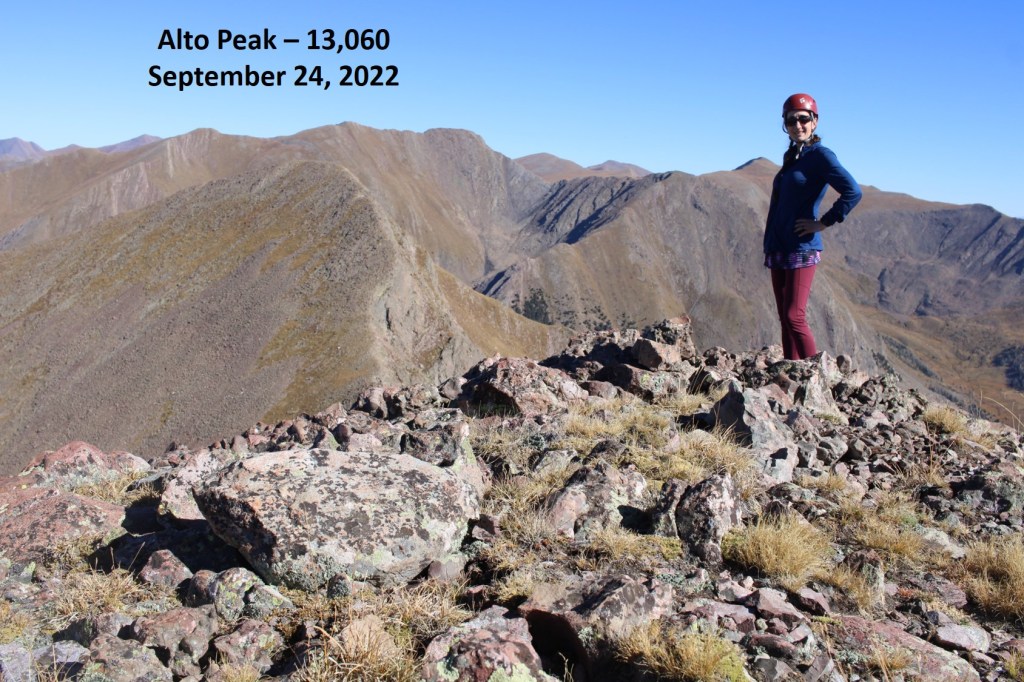
Alto Peak – PT 13060:
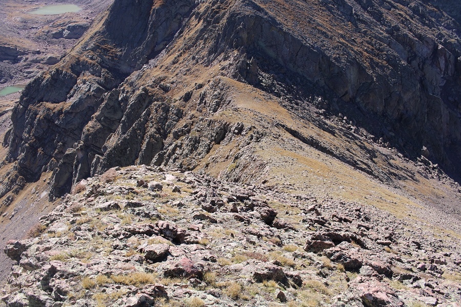
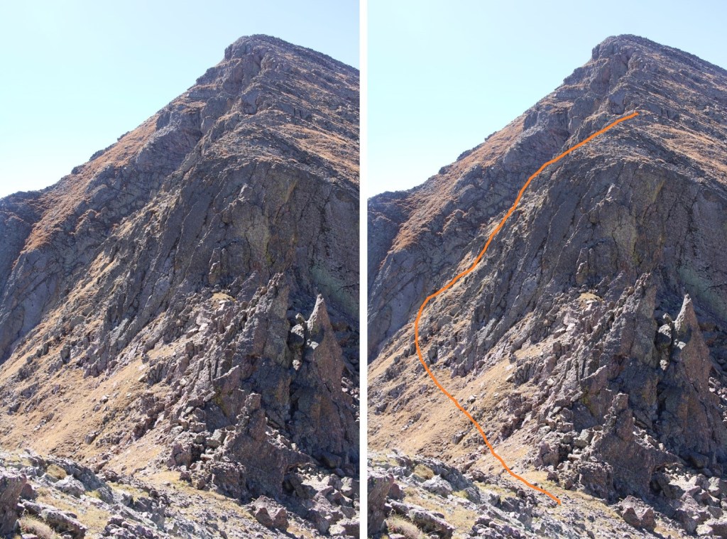
From Alto Peak I was headed north, towards Mas Alto Peak. The route looked straightforward, but I soon found the ridge cliffed out.
The ridge started out as class 2
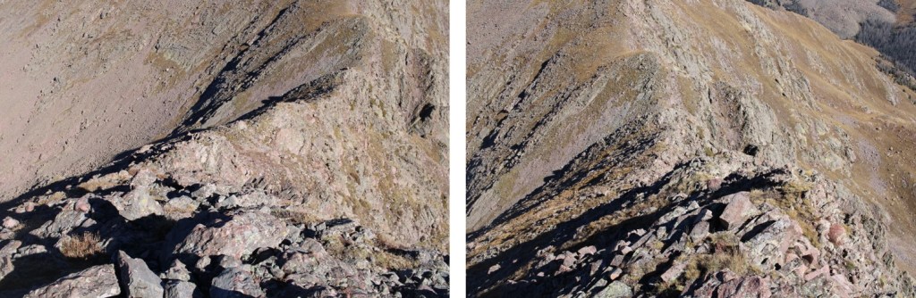
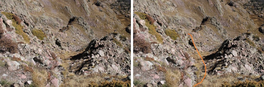
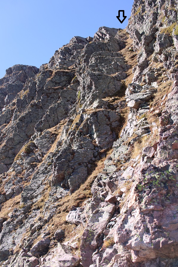
But when I got to around 12830’ I had to get creative, as the ridge ran out. I found a gully that looked like it ‘went’, which it did. I descended northeast down the gully, and set up about several cairns indicating my route. I was able to keep it all class 2+
Here are some pictures
I descended to 12700’, and then followed the contour of the mountain back up to the ridge
Now back on the ridge, I followed the class 2 terrain north to the summit of Mas Alto
Mas Alto Peak
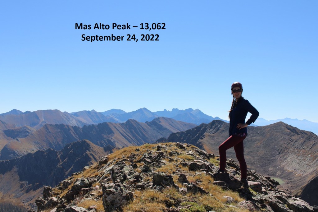
PT 13062:
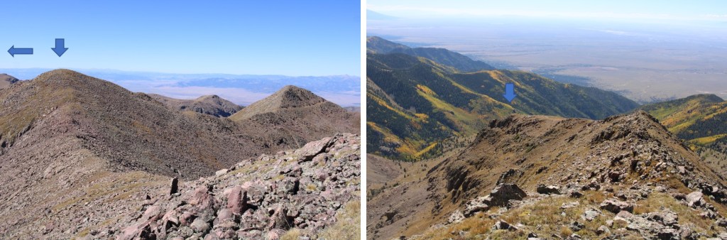
Now to retrace my steps back towards Alto Peak, and eventually Menos Alto Peak, by following the ridge south.
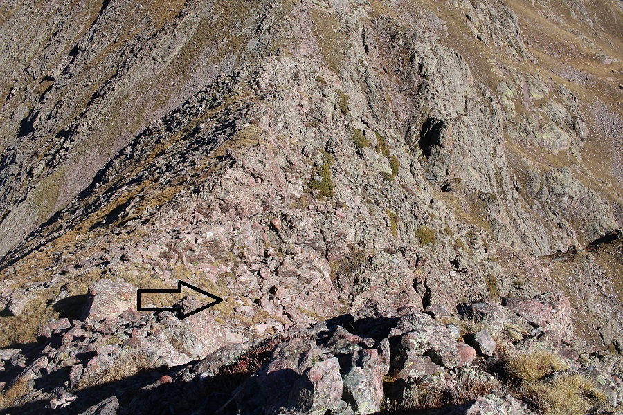
Here’s that section I avoided by going down the grassy gully, and the route I took to reascend.
Here are some step-by-step pictures of the route, now well cairned

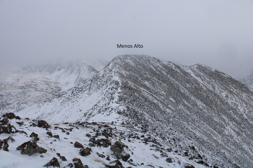
I re-summited Alto Peak, and then this is the route I took over to Menos Alto… choosing not to re-summit the unranked points and instead taking grassy ledges.
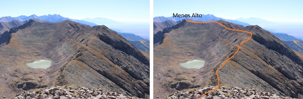
The entire route was class 2. Here are some closer pictures
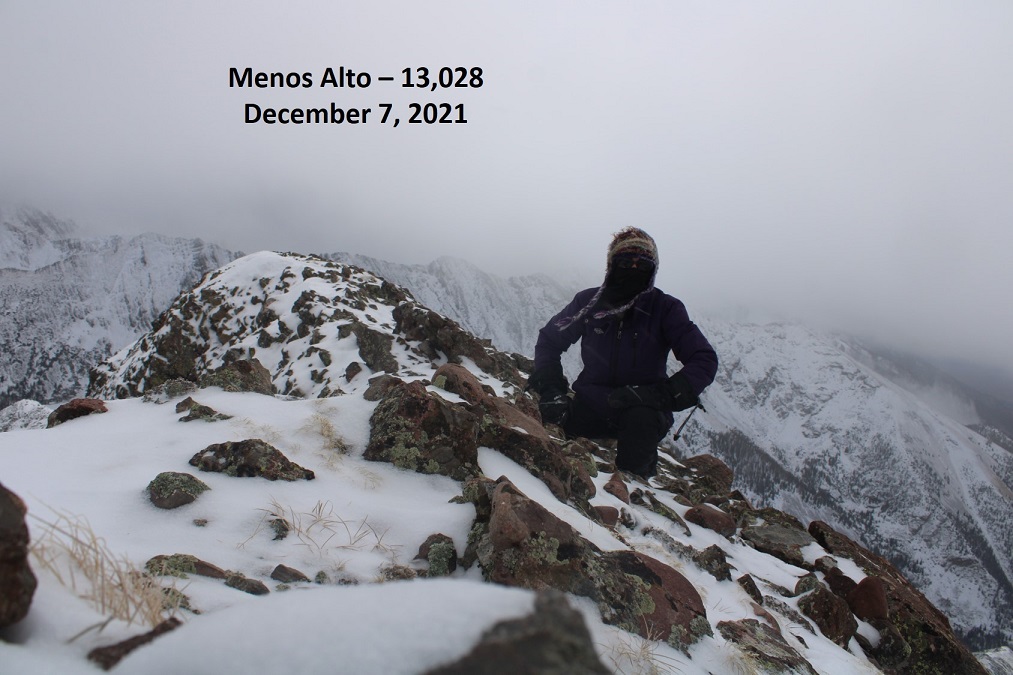
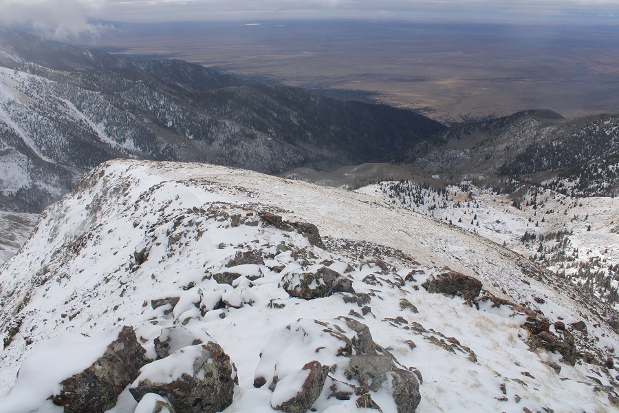
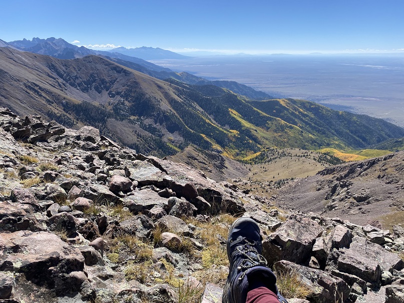
The view from the summit wasn’t all that bad
Menos Alto – PT 13031:
And now to make my way back down the ridge
Then back down the ridge to the gully
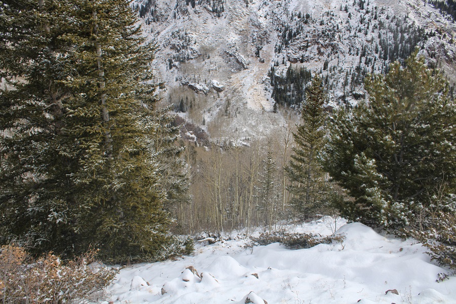
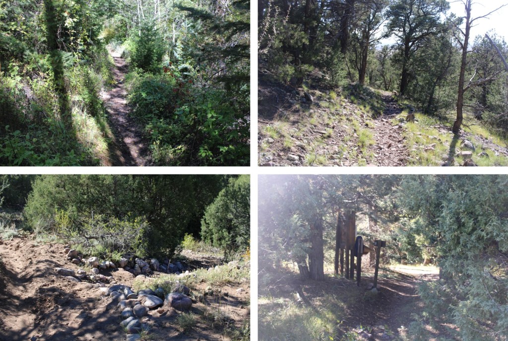
And bushwhacking back to the trail
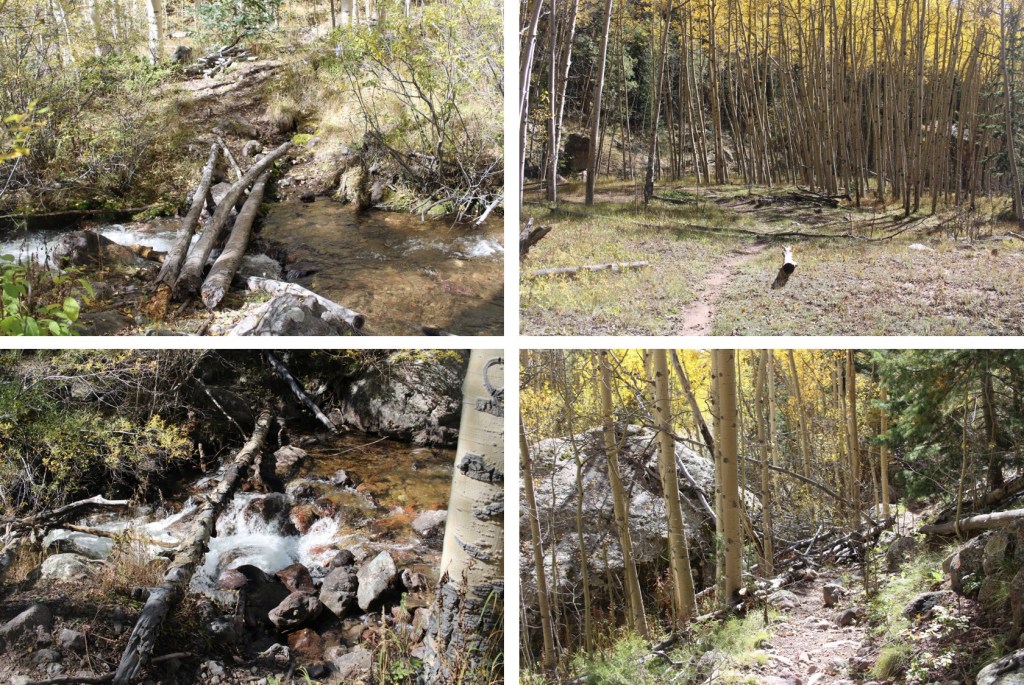
Once I made it to the trail, I turned right, and followed it back to the trailhead, still loving those stream crossings
I made it back to my truck at 4pm, making this a 15.63 mile hike with 6250’ of elevation gain in 11 hours.
On to the next trailhead!