
RT Length: 6 miles
Elevation Gain: 2759’
I got a late start on this one but I didn’t mind much. I made it to the Freemont Pass South trailhead just before 6am, surprised to see two other vehicles already parked there. I’m not sure we made the best use of our parking spaces

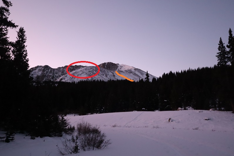
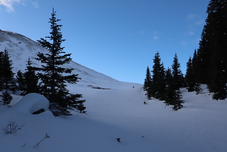
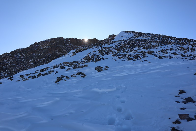
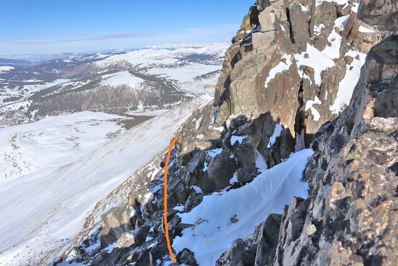
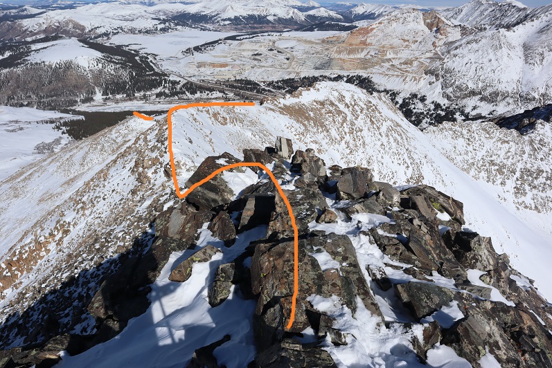
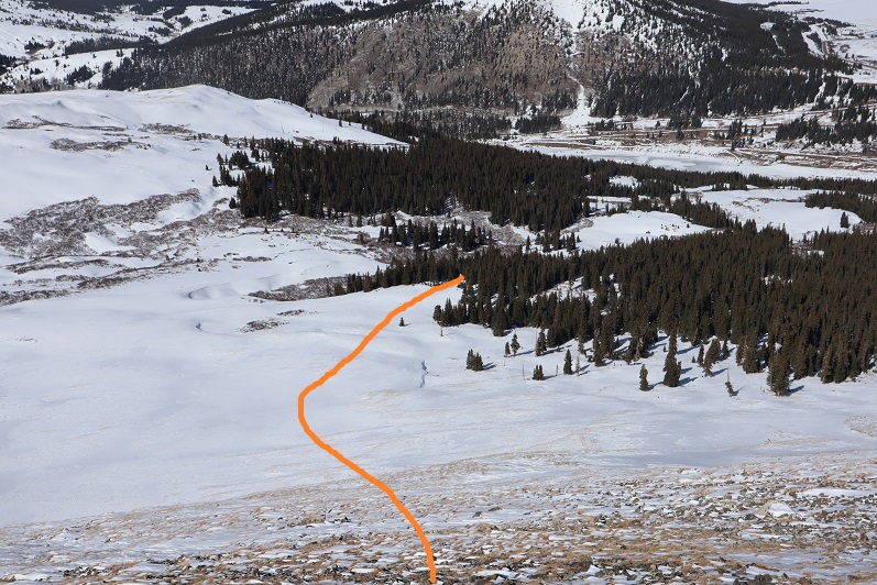
When I looked up at the mountain I could see headlamps. Wow! It’s not often I’m not the first person out. That’s what happens when you sleep in. They were taking a different route to the ridge than I planned on taking, and I wondered if they knew something I didn’t? You can’t really see them, but they’re circled here. The orange line is how I gained the ridge
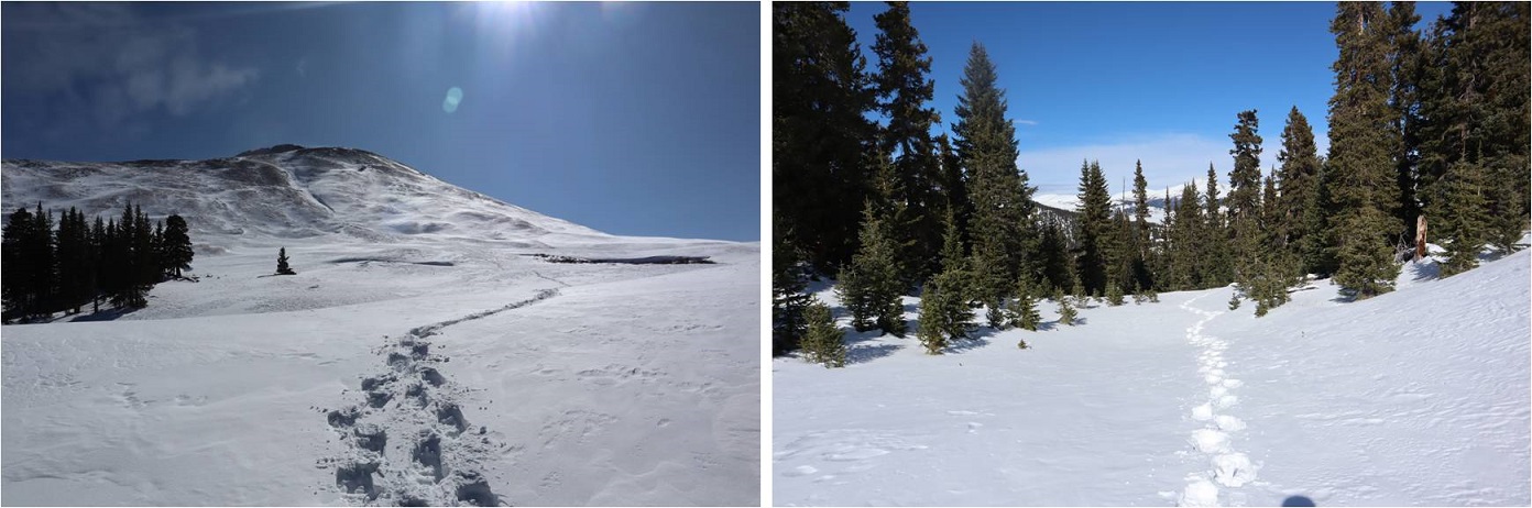
I put on my microspikes under my snowshoes and headed out. As the sun started to rise I followed the road as it wound southwest, switchbacking a couple of times
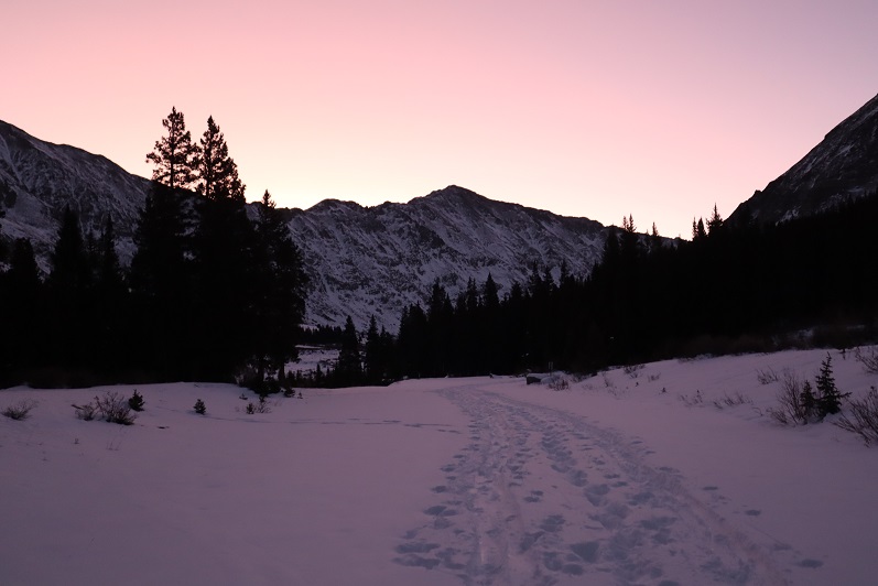
There were plenty of tracks on the road until I came to a straightaway. All tracks went left (east) but my instructions said to go right, so I got to be the first one on the new snow!
After about a quarter mile I turned left and entered the trees

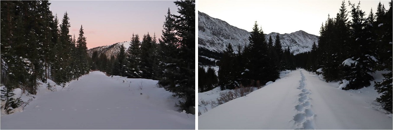
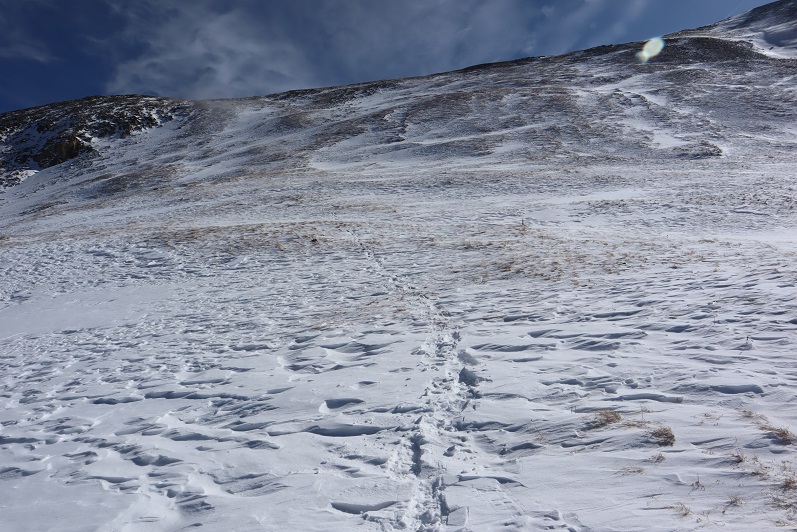
There was no trail here but I could see the mountain. I trenched my way south, sometimes coming across ski tracks or old game trails

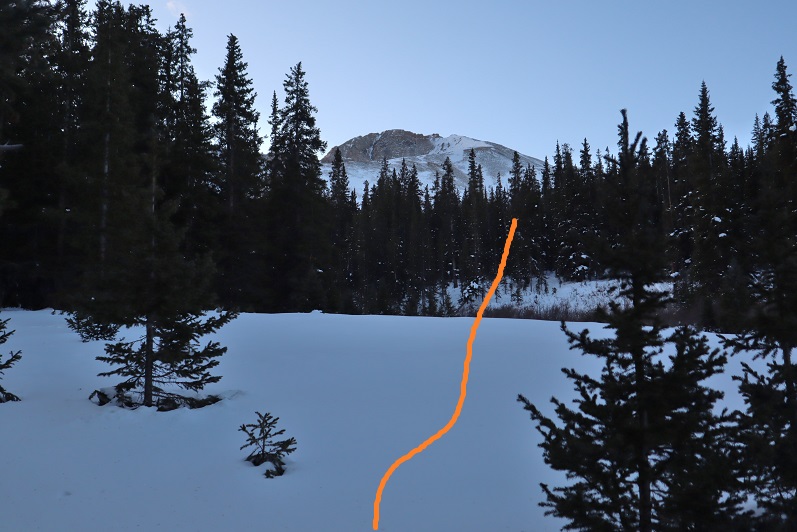
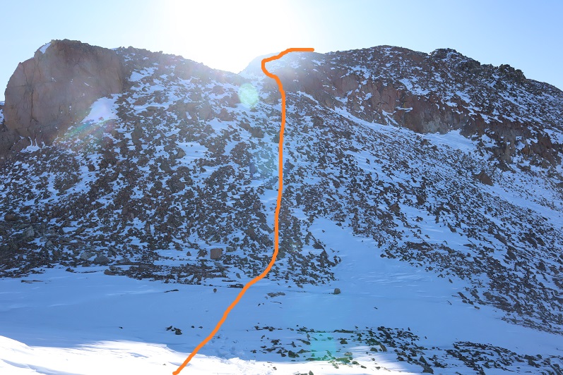
Eventually I made it to treeline and had no difficulty figuring out the route before me. There were some large snow drifts towards the end of the basin I wanted to avoid so I decided to gain the ridge early. The snow here was soft and sugary and I was once again glad I’d worn snowshoes.
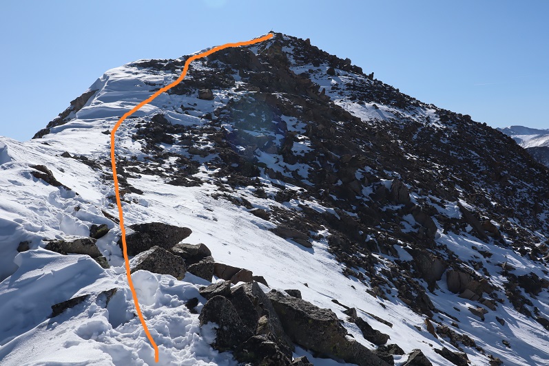
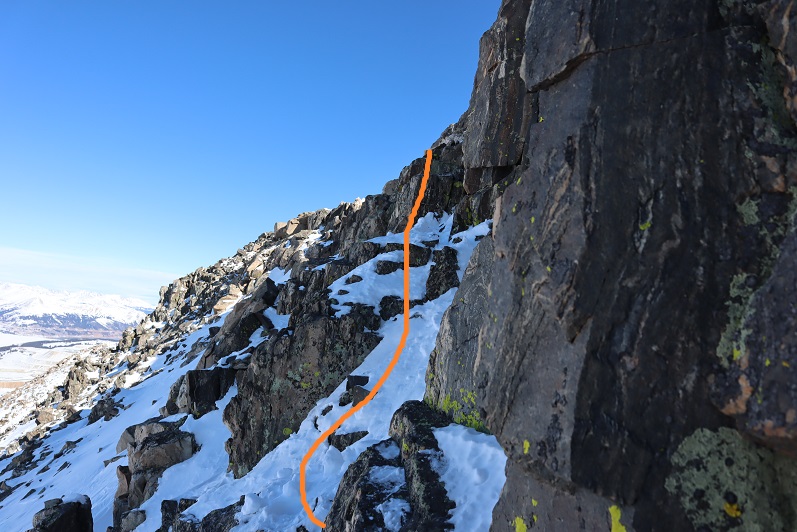
Here’s the path I took up the ridge
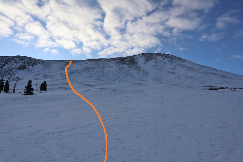
It’s steeper than it looks. Once on top of the ridge I ran into the tracks of the hikers I’d seen that morning. None of the tracks headed back down so they must still be on the mountain. I turned southwest and started up the ridge
The snow here wasn’t consistent. In some places there wasn’t any snow, and in others it was consolidated. I saw just enough postholing tracks from the hikers above me to convince me to keep my snowshoes on.
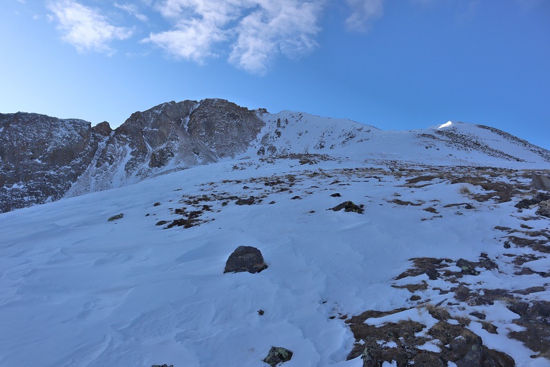
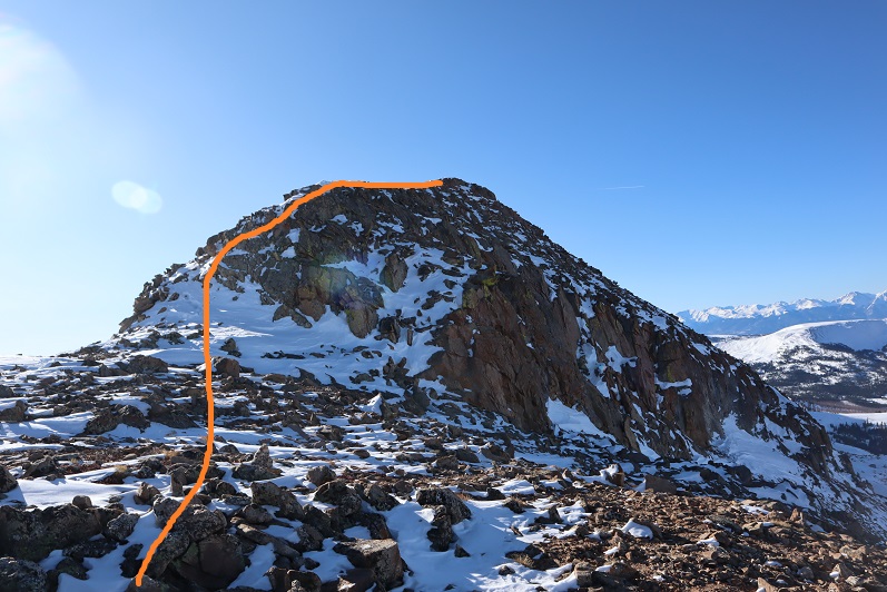
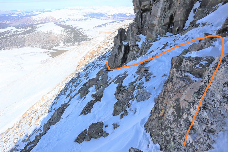
I followed the ridge to a small saddle and ascended the hill.
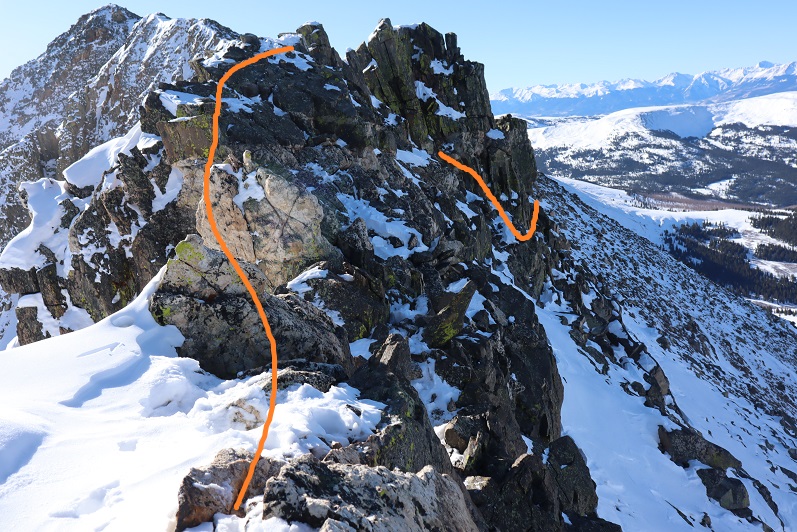
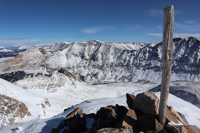
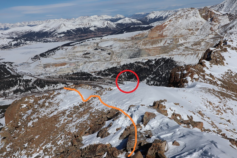
I completely thought I was nearing the end of this climb and kept looking for the other hikers. They should have been way ahead of me. Why hadn’t I seen them yet? I kept feeling like I was getting closer and closer to the end, which meant they should have been on their way back by now. At the top of that hill there was a pole. This pole is important, as it signifies the correct route to take back down. It’s good to make a mental note of where this is. I went right here

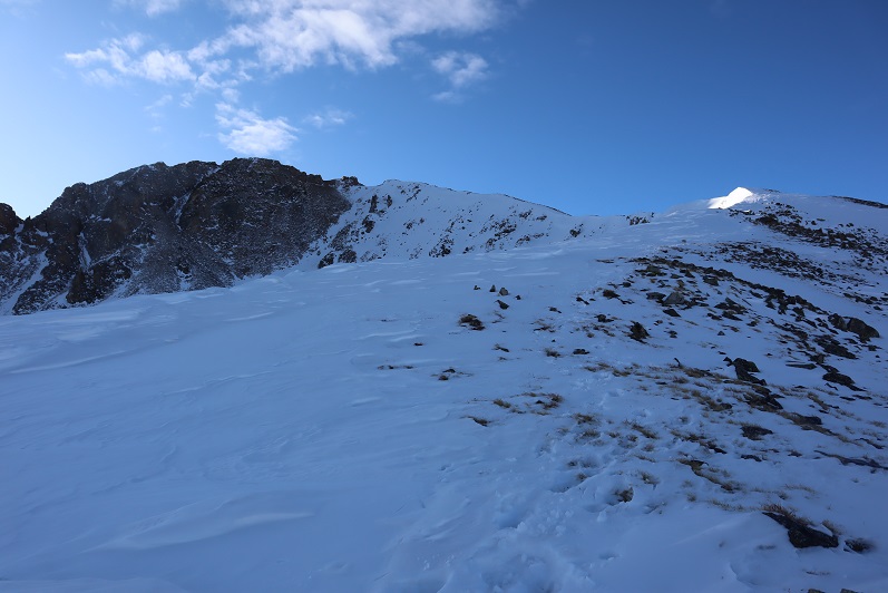
This is where the fun began. Once again, I totally assumed this was the summit (it wasn’t). I went up and over
And saw this
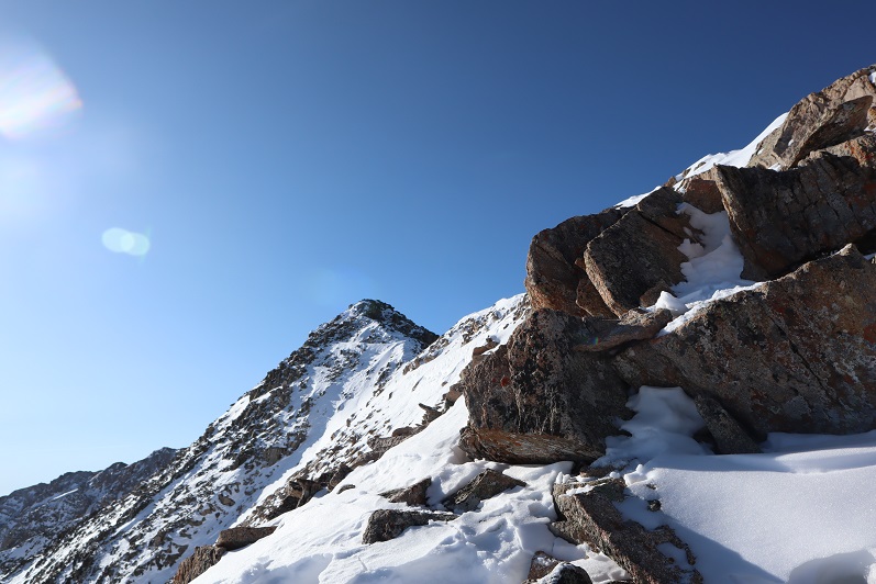
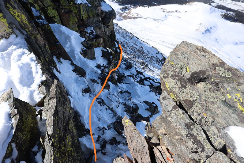
No worries… that must be the summit (it wasn’t). It was an easy class 2 hike though, until I came to a short class 4 section here, which was interesting in snowshoes

At the top of the class 4 section my heart sank: I still had a long ways to the actual summit, and it looked like all class 3+ from here. I couldn’t see the other hikers anywhere and I was getting seriously worried because all tracks still pointed up.
I looked for the class 2 section as an alternate, but there was so much snow it wasn’t a viable option. If I was going to continue I was going to have to climb class 3 in the snow. That wasn’t going to be possible with my snowshoes on. I seriously considered turning back. This would be an easy hike with no snow, one I could do quickly next summer. I debated my chances of success in the current conditions.
I decided since it was a nice day I’d take it one step at a time and turn back if necessary. The snowshoes weren’t necessary so I sat down to take them off and stash them while I summited. Just as I was kicking them off (I didn’t want to take my gloves off so there was a bit of a struggle) I saw the group of hikers coming towards me. No, they hadn’t been slow, it had just been a much longer ridge than I’d anticipated and they’d been behind rocks when I’d made it within final view of the actual summit. I waited for them to pass me. I had a hard time making conversation (my mouth was frozen and it was difficult to make words) but we had a quick chat. They said the headwall on the way they’d come up hadn’t been fun. I wished them luck and we were on our separate ways. I was so glad I’d decided to put on my spikes under my snowshoes! It was worth it not to need to take off my gloves. The wind wasn’t too terrible, but I’d need all the feeling in my fingers I could get for some class 3 scrambling.
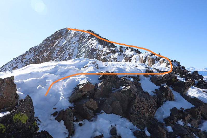
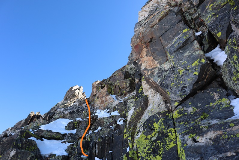
This last route on the ridge mainly sticks to the ridge, but it does dip down a few times to the right. Here’s the route I took

It looked like the group ahead of me had gone a little higher in places than I did but I felt their route looked class 4 and felt more comfortable staying a bit lower. I was never more than 30 or so feet below the ridge and most of the time I was right on top. The last push to the summit was on class 2 rocks
There was a big cairn indicating the summit. I was thrilled I’d decided not to turn back! That had been easier than I’d anticipated.

Here’s my summit photo
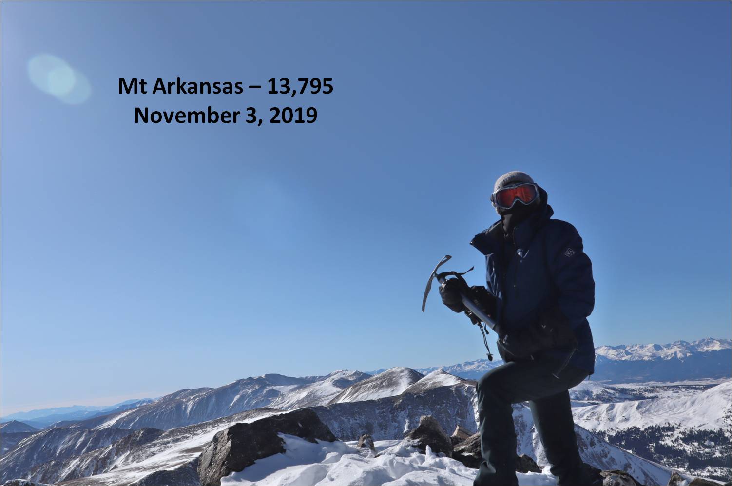
It is much harder to work a camera with large gloves on than you’d think. If you have a few minutes to spare you can watch one of my attempts (I couldn’t figure out why it wasn’t working. Turns out it was on video mode). This sort of stuff happens frequently and wastes time on the summit. I tend to give up quickly and go with the first shot I take, especially when it’s cold and time has more meaning.
Summit Post
Here’s a look back down the ridge
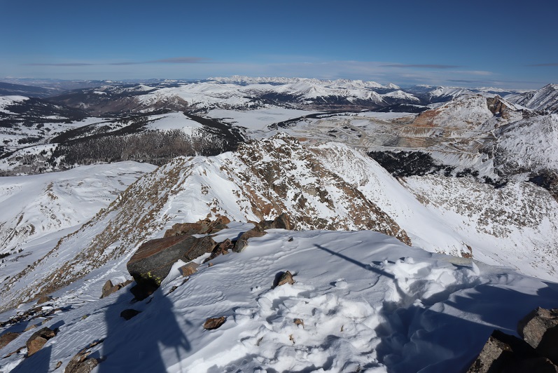
The trail down the ridge was pretty similar to the way up. Here’s a look at the tricky sections
Remember how I said that pole was important? Here’s why: You don’t follow this ridge all the way down. You’ll eventually turn left and follow a different ridge
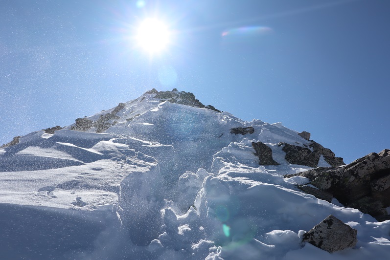
The wind was starting to pick up, and some of the trenches forming were body-sized because of the sugary snow
The pole is circled here in red. Follow the ridge to the left, don’t go straight or it will take you to point 12923.
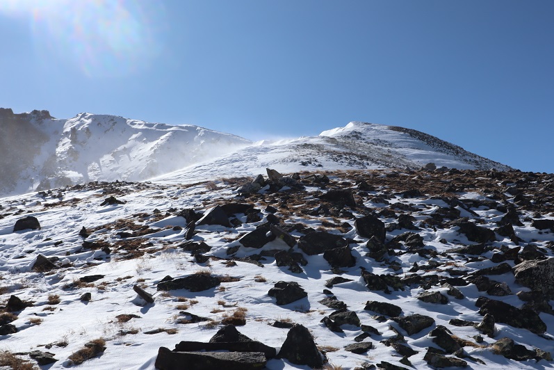
From here I followed the ridge to just before the headwall

Looking back things started to get windy
I turned left and headed down the side of the mountain. Down was much easier than up.
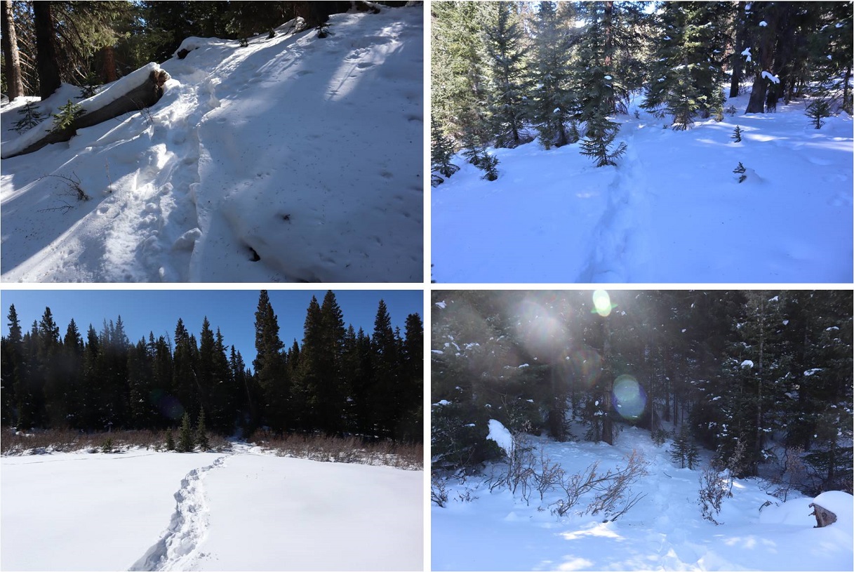
Here’s my exit route back into the trees
My tracks were mostly gone in a lot of the basin but I could see where they picked up near treeline
Once at treeline I just followed my tracks back to my truck, doing my best to form a nice trench
I made it back to my truck at 12:30pm, making this a 6 mile hike with 2759’ of elevation gain in 6 and a half hours. The hike had felt longer distance wise than it was, and I it felt shorter time wise. I guess I kind of went into a zone when crossing the ridge and lost track of time.


I was treated to and actual minute and nineteen seconds by way of You leaving Your camera on,of the real trials You experience.And You had 6 total miles and I can’t comprehend all that You do in such a short time.Listening to the sounds of Your feet and the winds and the constant movement is more than my mind can take hold of.It’s one thing to read and look at Your photos of Your mountaineering and something else to actually see it through Your videos.It gave to me a whole new perspective of what You actually go through to what You consider fun. You are simply amazing Laura. Thank You for allowing me to see the real You known as The Wild Wanderer.You are so active in many things,I’m sure that You are a total mystery to the many who know You. ov 5, 2019 at 7:51
LikeLike
Thank You for Your posting Lady Laura.
LikeLike