RT Length: 15.41 miles
Elevation Gain: 5543’
I drove up to Carson Pass the night before and slept in my truck. For details on the drive in, please see this post: Carson Pass.
That night was a rough night, not only because my mind wouldn’t turn off, but because the winds were constant and curiously loud. I woke up before my alarm and decided to sit in the cab of my truck with the heat on to warm up a bit before starting out. I turned the ignition, heard a “thunk” and noticed my ABS and traction control lights were on. Oh, and my 4WD light was blinking. That seemed strange, and a little troublesome. I tried turning the truck off and on again and taking it in/out of 4WD but I couldn’t get it to engage. I didn’t like this turn of events but figured I might just need to get the truck moving to get it to work. Hopefully it was just an actuator problem. I was on the trail at 4am.
The forecast called for rain today, which most likely would transfer to snow at this altitude. I usually like to do the longer hike first, but today I was afraid I’d get caught too far when weather hit and since these entire hikes are above treeline that just didn’t sound safe. I grabbed my helmet and figured I’d play it by ear.
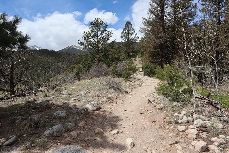
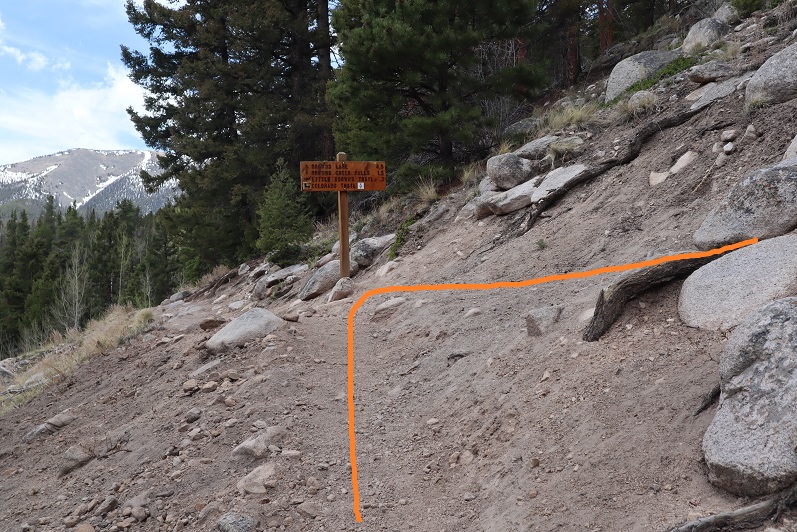
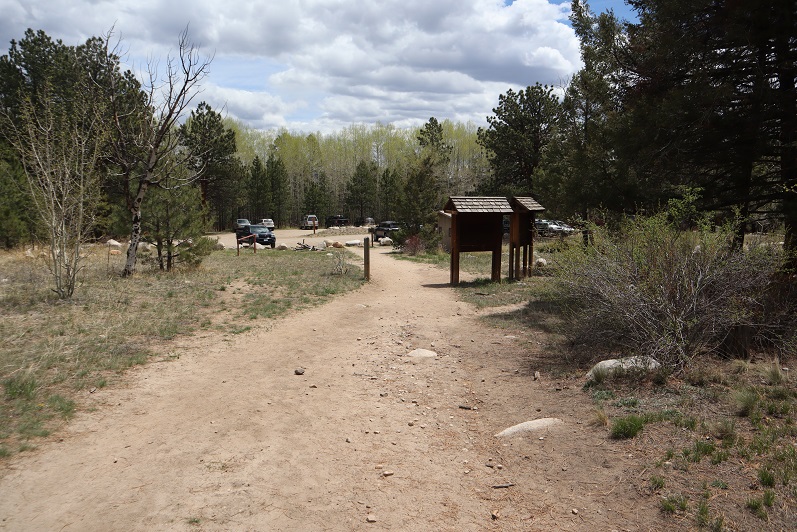
From my parking spot I traveled south for half a mile along trail 821 before turning right onto the Continental Divide Trail/The Colorado Trail/Trail 831. I didn’t know it at the time, but just past this junction there is actually a parking area, so if you wanted to cut off a mile from this hike (and extra elevation gain) you could just park there.
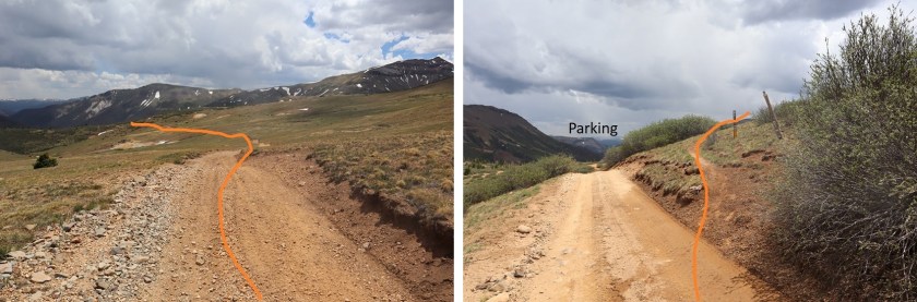
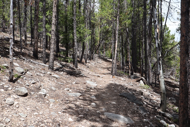
I followed the class 1 Trail 813 as it lost a total of 400’ as it wound down the canyon, and then gained almost 1000’ to the top of the pass.
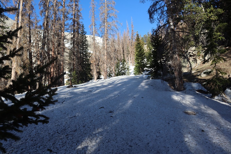
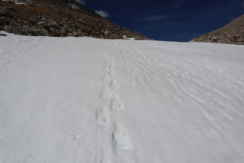
There was one small section of snow to cross, but luckily for me the elk had already done a great job blazing the trail.

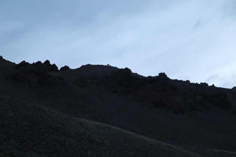
I saw quite a few elk this weekend. They are definitely all over this basin. The first ones I encountered at about 5:30am. Of course they trotted away from me, but I was able to get a photo of one up on the ridge (I’d be on that ridge in about half an hour)
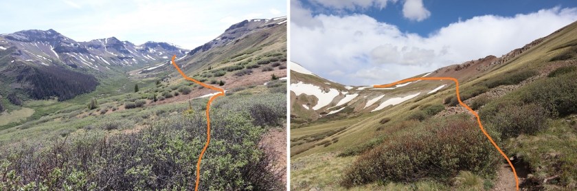
Up towards the top of the pass the trail got a little wet, but it was still easy to follow.

From the top of the pass I left the trail, turned right and headed northeast to the ridge.
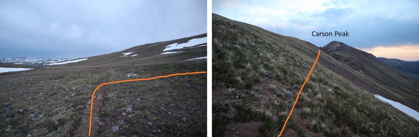
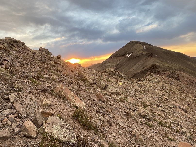
I aimed for the saddle and got a great view of the sunrise.
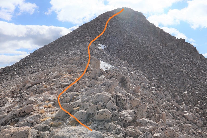
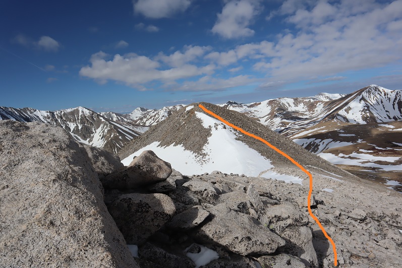
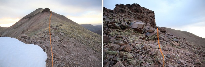
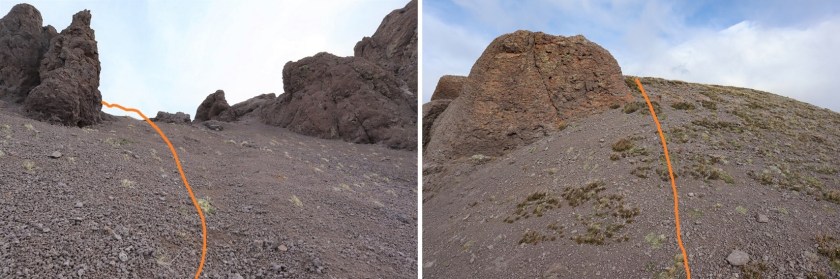
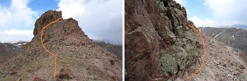
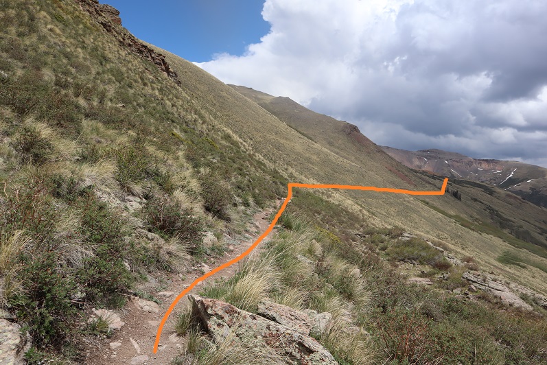
From here it was a class 2 ridge hike. I stayed on the ridge when possible, and when not I dipped to the right. Here’s the route I took:

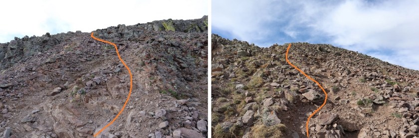
In the beginning there were some steep sections to navigate. Nothing too difficult, but it’s all choss and there’s some decent exposure, so choose your footing carefully. This area was about a foot and a half wide in places.

This section is easier than it looks: Just dip down to the right
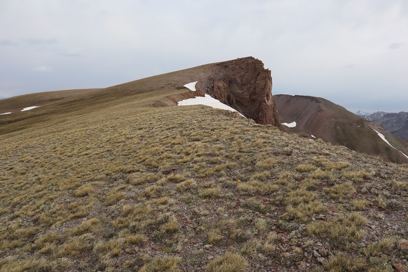
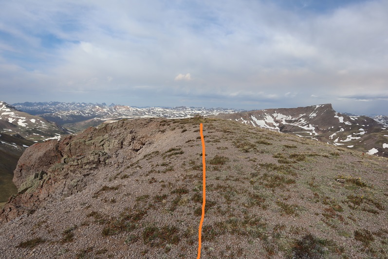
From there it’s an easy walk up tundra to the summit

I summited at 6:40am

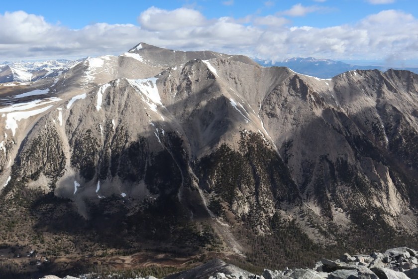
Carson Peak:
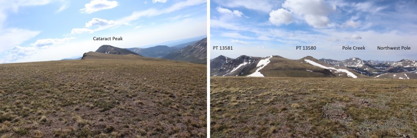
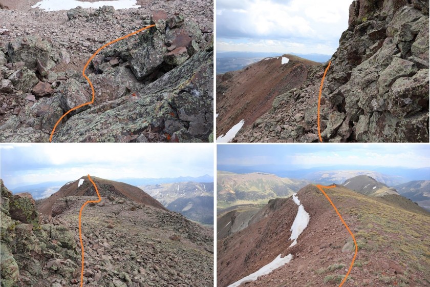
I turned around and headed back over the ridge. From here I had a good view of my next 2 objectives: Tundra Top and Cataract Peak

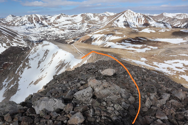
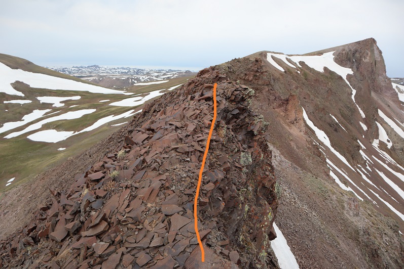
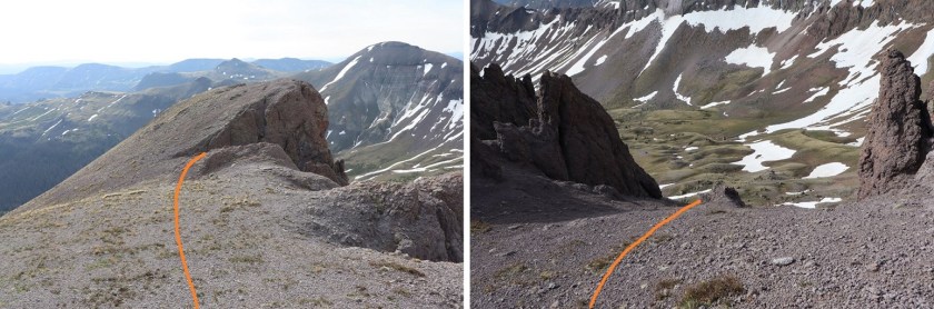
The route looks a little different on the way back.

Go straight over this part. Once again, there is some exposure here, along with loose rocks. Be sure of your footing.
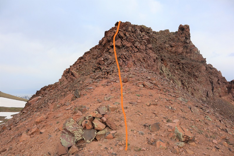
And straight up this. Once again: loose, but straight up is the way to go
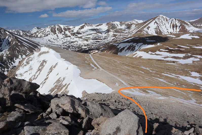
Once the ridge section is done it’s an easy walk up tundra
The only problem? I’m not sure exactly where the summit is to Tundra Top. It looks like it’s at the jagged point you can see from Carson Peak, and indeed that feels like the summit and also has a large cairn, but when I used my altimeter I measured the middle of the flat, open space further to the west as being 30 feet higher. Also, there are cairns all over the summit, as well as at the high point after the ridge. So I basically walked all over the mountain (between summiting the first time and when I came back over from Cataract) and I’m considering it a summit.

In any event, here’s a couple of summit photos from somewhere on the top of Tundra Top, and a video (not sure if the video is from the actual summit though)
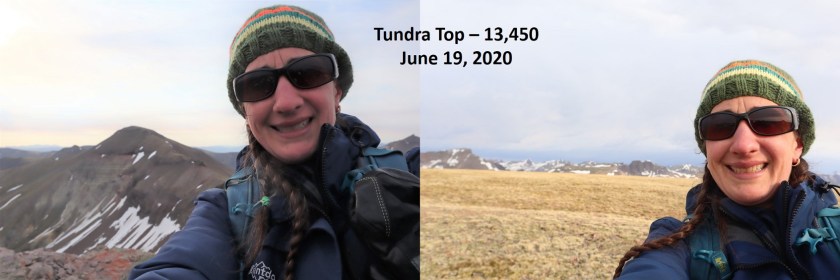
Tundra Top:
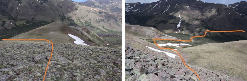
I turned north and headed over towards Cataract Peak

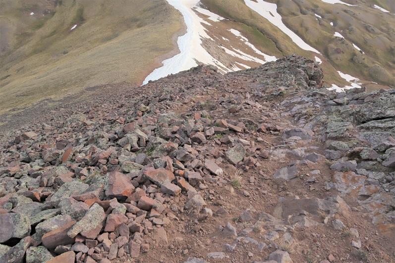
The hike down started with unstable rocks and then switched to scree. This was class 2, and I’m pretty sure I was using game trails, making my way towards the saddle.
There are two ways to summit Cataract Peak: you can go to the left (west), gain the ridge, and then summit, or go straight up the south face. Not knowing ridge conditions, I decided to go straight up the south face, even though that meant crossing some snow. (After summiting Cataract I realized the ridge is easy class 2 and a viable option).


After crossing the snow I made my way up the mountainside on loose scree, which was steep at times. I followed an obvious game trail with one switchback.
At the top of the ridge I turned left, went around this boulder, and hiked the short distance to the summit (which had a cairn)
I summited Cataract Peak at 8:25am

Cataract Peak:
I re-traced my steps back to Tundra Top
Encountering an elk on the ice flow before the easy hike up to Tundra Top

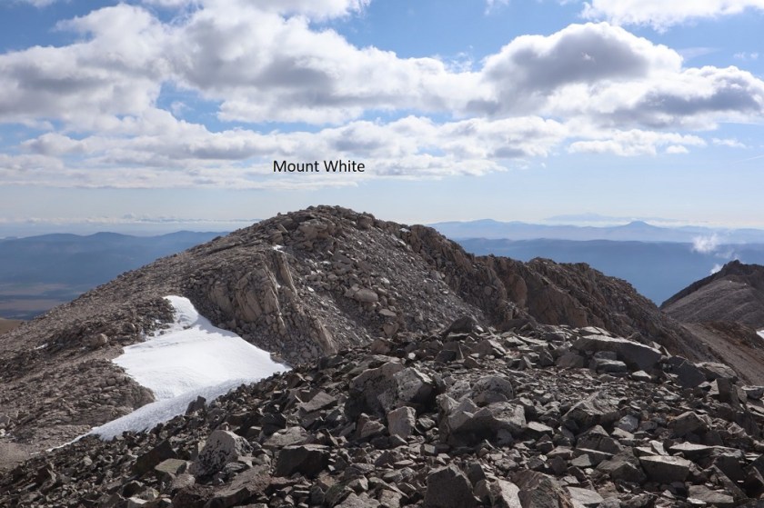
From Tundra Top you could see a bunch of the peaks I was hiking this weekend. I spent a lot of time here, checking out the weather and looking at routes for tomorrow to see if they were clear or not. Unfortunately, these peaks require a lot of ups and downs through basins, and while I could see ridges were clear, I had no idea what the basins looked like.
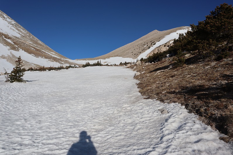
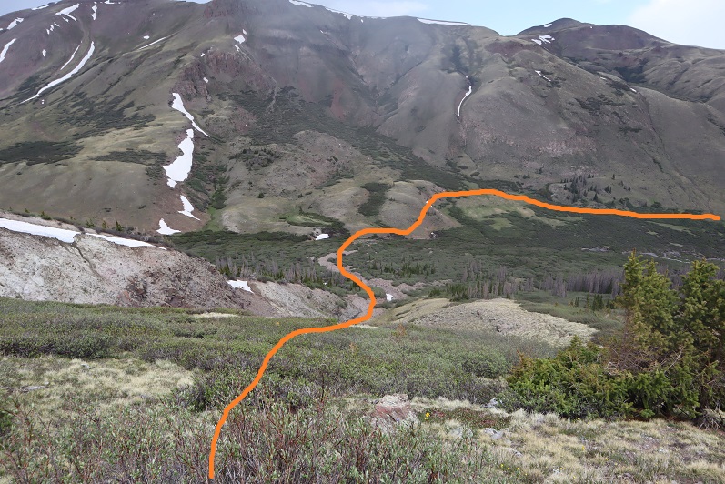
I headed back to the pass, picked up the trail, and headed back down into the basin.

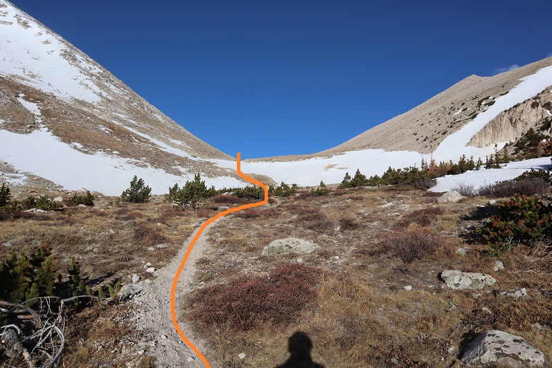
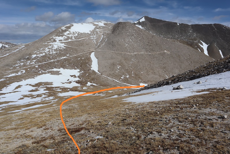
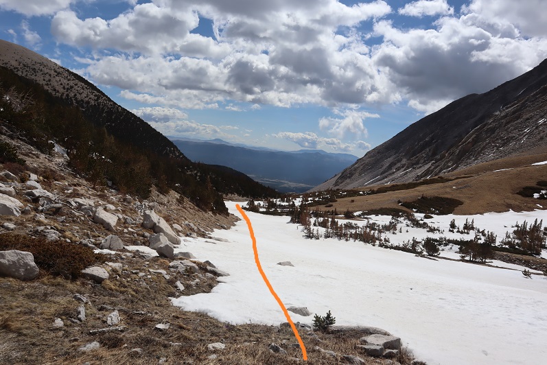
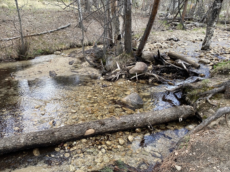
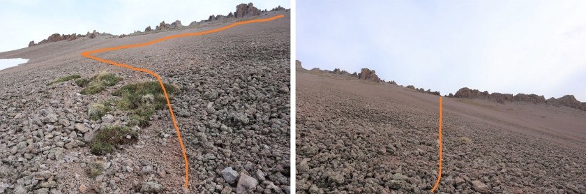
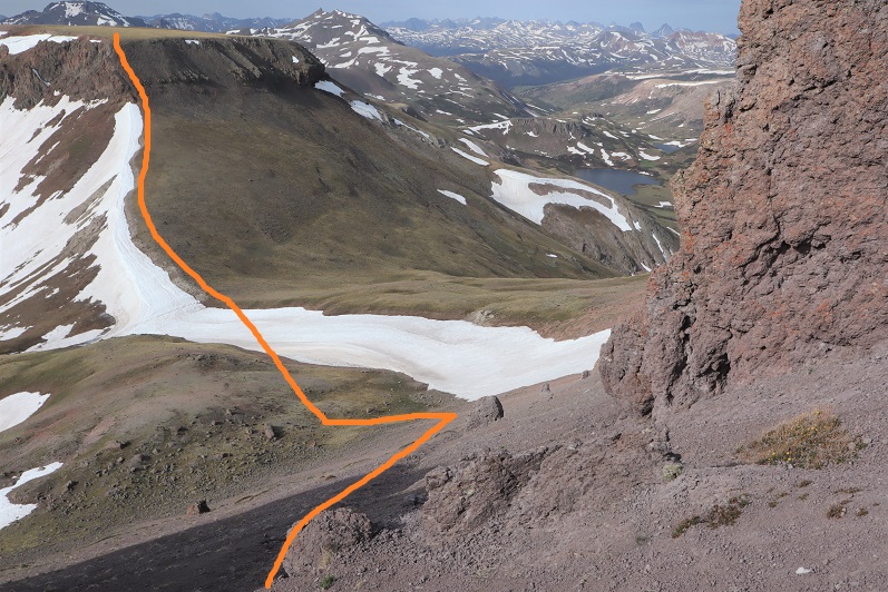
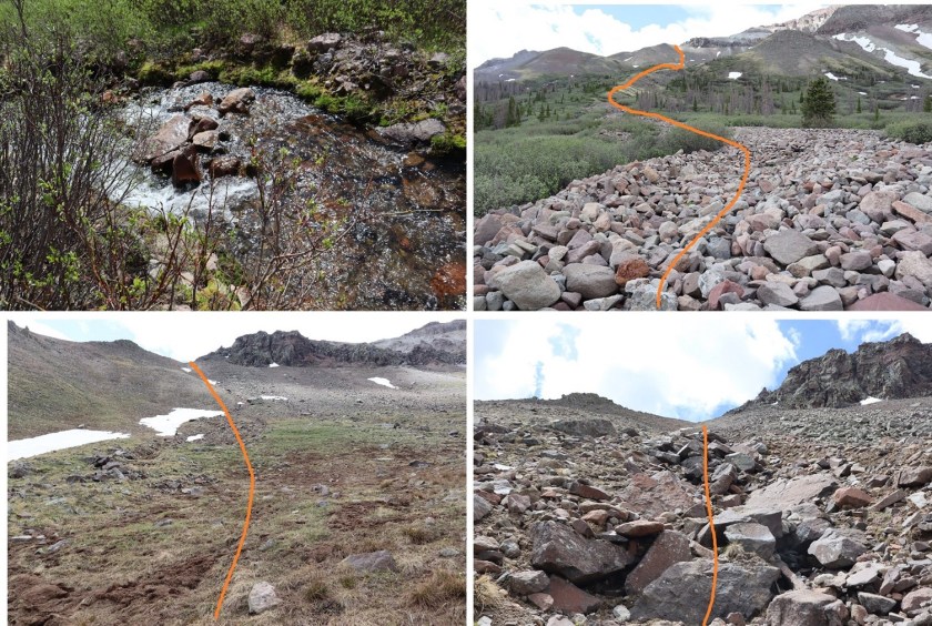
When I got to the lowest point in the basin I decided to attempt PT 13581 today as well. The weather looked like it would hold, and I was so close (and not yet tired) that I figured I should at least give it a try. I eyeballed this one, looking for the best route up. I decided to leave the trail, cross Lost Trail Creek, and follow the drainage until I hit the tundra that paralleled willows. Then I would stay on the tundra, using the willows as guidance before taking a gully up. To gain the ridge I took the solid line up, the dotted line down.
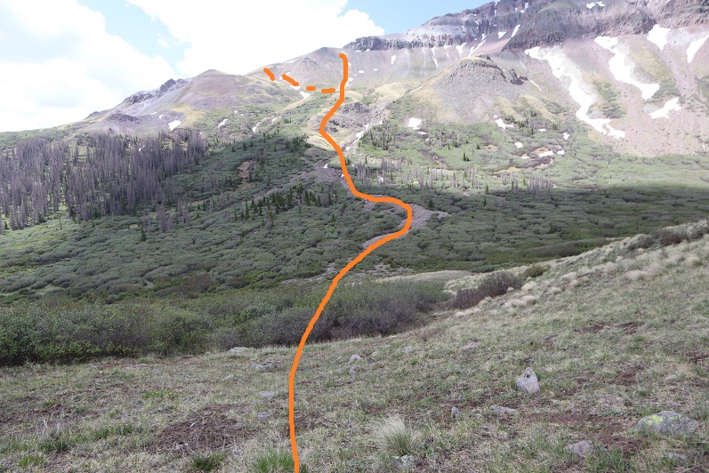
This proved to be a fabulous plan. The only downside was the gully: it had recently melted out and was still soft. I almost lost a hiking boot in the mud, and it was very steep. It almost felt like it should have been a winter route with snow, an ice axe and crampons.
Here it is in a little more detail:
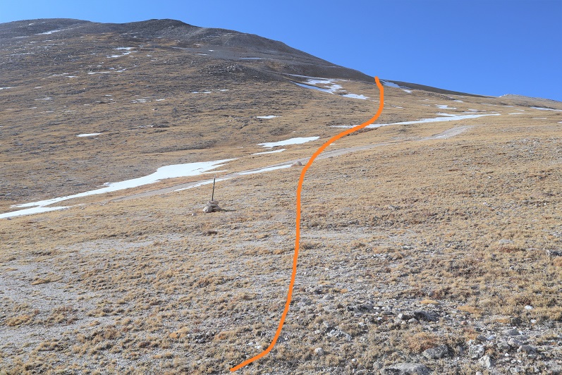
At the top of the ridge I turned right and followed the ridge to the summit block

I was keeping a close eye on the weather. The clouds were building, and fast. Luckily, they looked like snow clouds and not thunderclouds. I had a feeling that 40% chance of rain was going to happen.
When I made it to the summit block I was surprised to find it wasn’t a class 2 hike as my (quick) research had told me. Nope, this was definitely class 3. I was glad I’d brought my helmet. I strapped it on and left my pack and trekking pole and headed in to figure out how to summit. This is the route I took: I circled around to the left, found a bunch of easy class 3 access gullies, took one up, followed the ridge around to another access gully and climbed to the top. There was exposure in the second gully.

I summited at 12pm

PT 13581:
The weather was turning so I quickly retraced my steps back down the gullies to my gear, then followed the ridge
On the way out I took the second gully down, which wasn’t as steep, and then followed the same path I’d used as on my way in back to the trail.
The wind picked up as I hit the gully and it started snowing. Not big fluffy flakes, but more like slush being carried by the wind that splattered when it hit me. I put on better gloves and kept hiking.
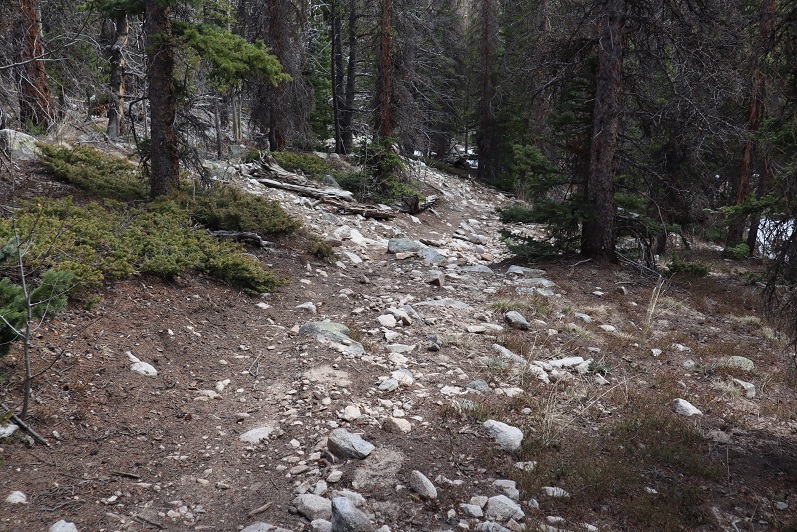
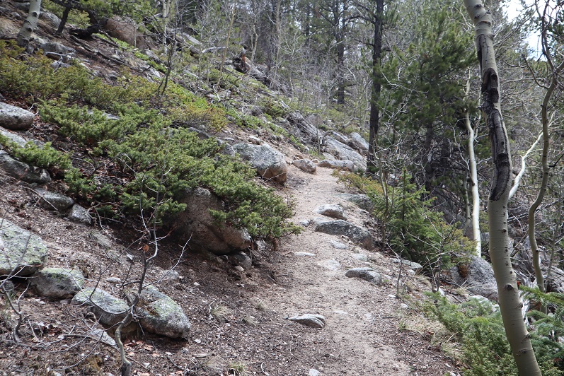
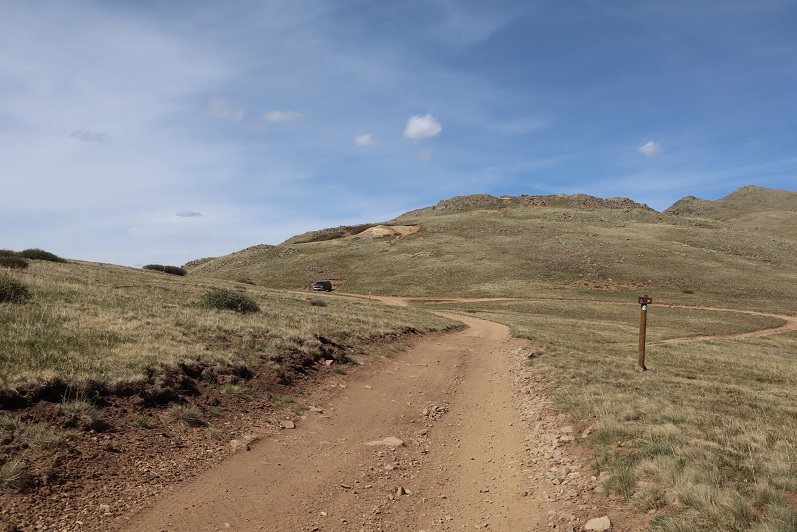
The hike out was uneventful, as it was on a well maintained class 1 trail. The extra 600’ of elevation gain on the way out was kind of a bummer, so I just took it slow. The trail actually inclines gradually, so it wasn’t too bad.

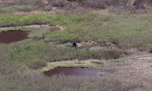
Oh, and I saw a moose in the basin, so that was kind of cool. It was a little far to get a good picture of, but it’s a male.
I made it back to my truck at 2pm, making this a 15.41 mile hike with 5543’ of elevation gain in 10 hours.
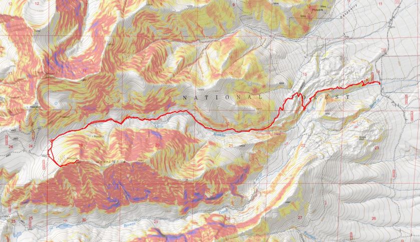
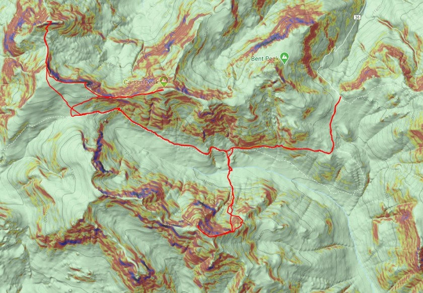
Here’s a topo map of my route:
It was still early so I decided to clean up, get something to eat, and try to start my computer. It lit up but quickly turned off. Maybe it will dry out overnight and work tomorrow? OK, with my computer out I decided to do some reading. My favorite book for a long time has been “Death in the Grand Canyon”, so I picked up it’s sequel, “Death in Yosemite” and have been reading it the past few weeks. Lovely how the book reiterates, several times, how it’s important to always make good choices, retrace your steps before committing when you’re unsure if you can continue, and not to go solo. Also, don’t be a male between 20-30 years of age. I like to remind myself of these things often and use these stories to try to learn from others’ mistakes.
Idea: Devotionals for hikers (not necessarily religious) that are quick, a page or two, and detail real accidents and how they occurred. Then discussion questions to see what steps could have been employed to prevent the accident. In other words, more books like “Death in the Grand Canyon”, just in a different format.
From inside my truck I watched the marmots and pikas and chipmunks go about their business. They couldn’t see me in the topper, and it was fun to watch them skitter around. One marmot chirped incessantly for over an hour, and I as I sat there my thoughts drifted to how everyone should get to experience climbing in the mountains at least once in their life.
After reading I got out my topo map and looked at routes for the next day, prepped my gear, and got to bed early. I wanted to get a lot of rest before an early start tomorrow, and I was still a little worried about my 4WD and computer problems…