Mays Peak – 8238 and Kineo Mountain – 9500 from Bear Creek

RT Length: 14.36 miles

Elevation Gain: 3659

I’ve hiked Mays Peak and Kineo Mountain several times, but always through North Cheyenne Canyon.  They’re currently working on the road to North Cheyenne Canyon, so I decided to hike these peaks via Bear Creek.  I’ve ever been to Bear Creek before, so I thought this would be fun.

I parked at pull off 3 and was on the trail at 6:15am.

I passed through a gate and followed the road

I came to a second gate, and continued on the road

The trail follows High Drive, a dirt road, for 2.6 miles.  It had recently snowed, but it seemed yesterday several skiers packed it down after the snow had subsided.

After hiking 2.6 miles I came to the saddle of Mays Peak and Mt Buckhorn (unranked).  Here I turned left and was pleasantly surprised to find a boot pack on the trail to Mays Peak

This trail didn’t go all the way to the summit, but instead wound around the mountain.   At the southernmost point I left the trail and made my own trail to the summit, heading north up the hillside.

This is an easy summit, especially if you’ve summited before.  No one had been here since the recent snow, so there were no tracks on the summit.

A few weeks ago I dropped a summit register off, so I went to go check on it.  It was buried under some snow; I took it out and placed it on a rock.  Still looking good!

The tree is still decorated for Christmas.  I wonder if it’ll be decorated all year long?

I followed my tracks back down to the trail, and to the Buckskin/Mays Saddle

From the saddle I took Trail 667 southwest

I was delighted to find this trail also had a boot pack

Well, at least it had tracks for a little while.  It seems the hiker ahead of me at some point got tired of trenching and turned around.  So I started trenching. 

I followed/trenched Trail 667 for 3 miles, until I made it to the 668/622/667 Junction.  Here I turned left and headed east towards the summit of Kineo Mountain. 

Did I mention the wind? It was very windy all day, even though I was below treeline.  Since it had snowed recently, the wind blew all the snow off the trees.  This snow kept hitting me in the face.

Here are some pictures of the way to the summit.  I just kept trekking east

I made it to the summit and looked for the summit register, but it was buried somewhere under all that snow and I was unable to locate it.

The trek back was much easier than the trek in, as I just followed my footprints back to the Mays/Buckskin saddle

It was still windy

And it was warming up, so ice was getting stuck in my microspikes

I made it back to the saddle and took the road back to the trailhead.  Here I saw more skiers hiking up the trail, a few dogs, and a man pulling a sled with a bunch of rocks in it so it would carry him down the mountain faster in his sled.  I pointed out to him there were probably rocks at the top.

I made it back to the trailhead at 12:30pm, making this a 14.36 mile hike with 3659’ of elevation gain in 5 hours, 45 minutes.

New Mexico Highpoint – Wheeler Peak 13,161

1

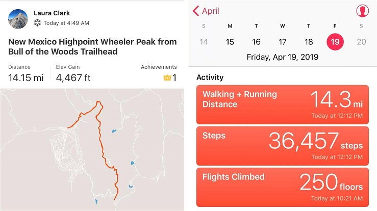
RT Length – 14.2 miles

Elevation Gain – 4467’

The Colorado winds were high so I decided to head down to New Mexico this week to do some highpointing. Taos is actually closer to my house than many Colorado peaks, so the 4 hour drive wasn’t too demanding.  In fact, it was kind of fun.  When I made it past Ft Garland I saw a road sign indicating there were bighorn sheep in the area.  To my surprise I immediately encountered a herd of bighorn sheep standing along the side of the road.   A few minutes later I saw a sign warning of cows, and wouldn’t you know it?  Cows on the road.  The same thing happened with the deer and elk warning signs, and a few minutes later, even horses!  I hadn’t realized there were wild horses in the San Luis Valley, but yep, there sure are!  With all this good luck with animal sightings I kept hoping to see a sign indicating buffalo or elephants or zebras were in the area, but alas, wild horses were about as exotic as it got.  Kudos to the group that placed those signs so accurately.

2

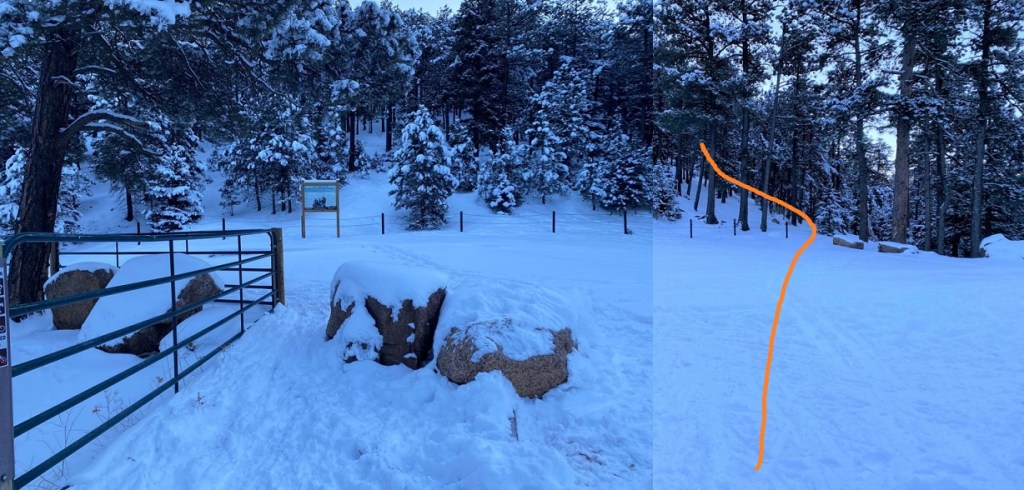
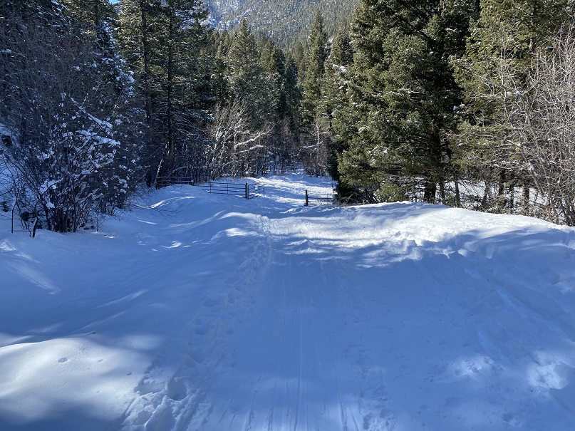
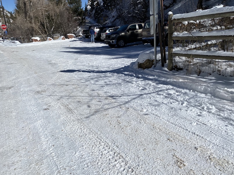
I made it to the trailhead at 4:45am and was on the trail by 5am. Oh, and I did a terrible job parking (without realizing it). I actually made it to the trailhead about half an hour earlier than expected, and only recognized I was there because I saw the “Bull of the Woods trailhead” sign as I was driving by, so I backed up, parked, and was on my way.

3

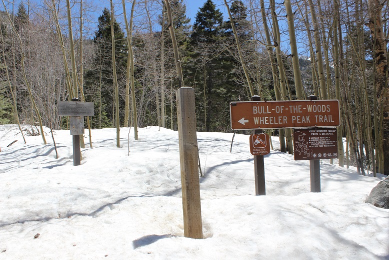
It wasn’t until I was on my way down I saw there was a real parking area directly below where I’d parked. Oops!

4

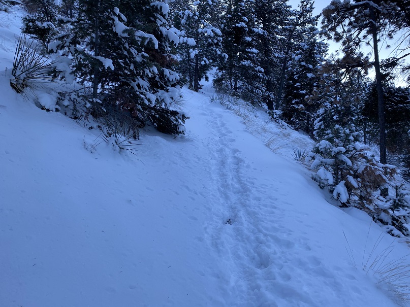
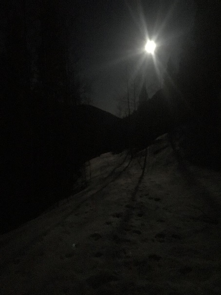
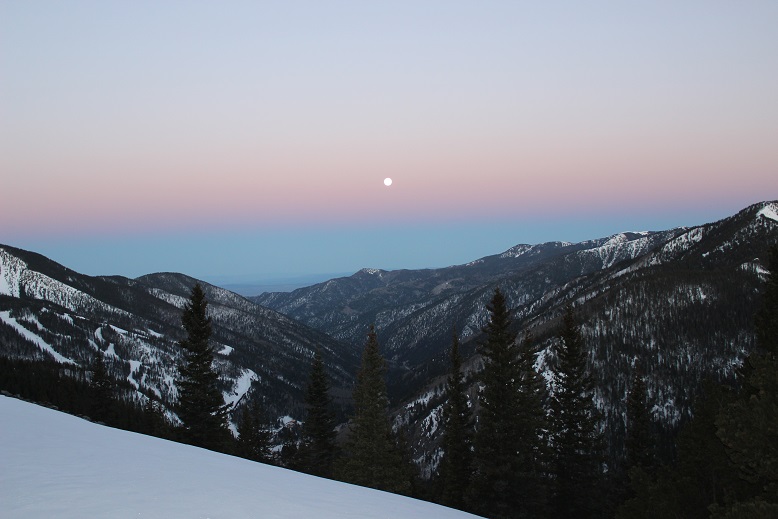
The full moon was absolutely amazing! Unfortunately I wasn’t able to get a good picture, but it was so bright I didn’t need my flashlight.  I brought my snowshoes but didn’t put them on until I’d almost made it to treeline.  There was quite a bit of snow on the trail (4 feet or so) but the snow was consolidated so I was able to just walk on top of it.  There were also tracks to follow.

5

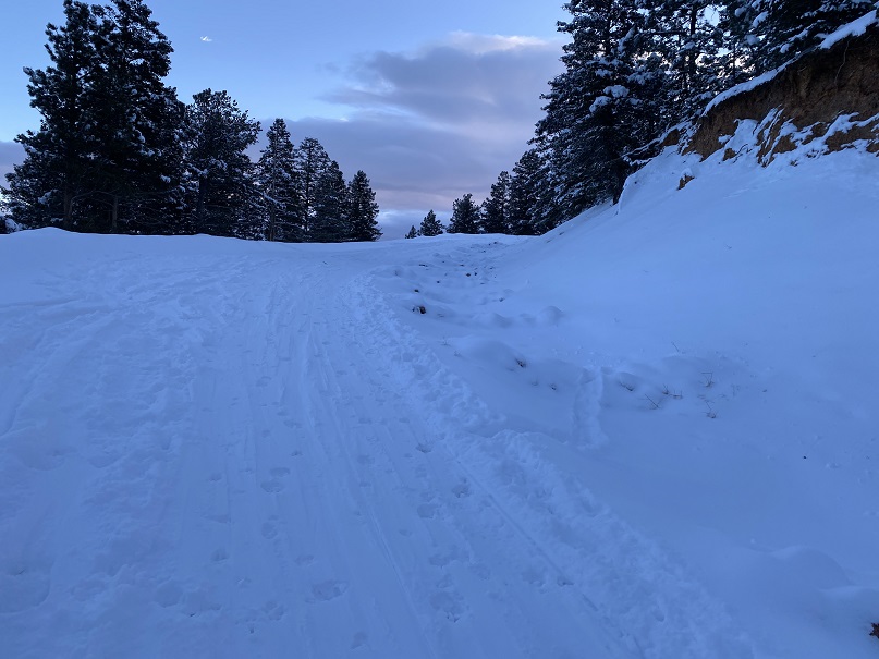
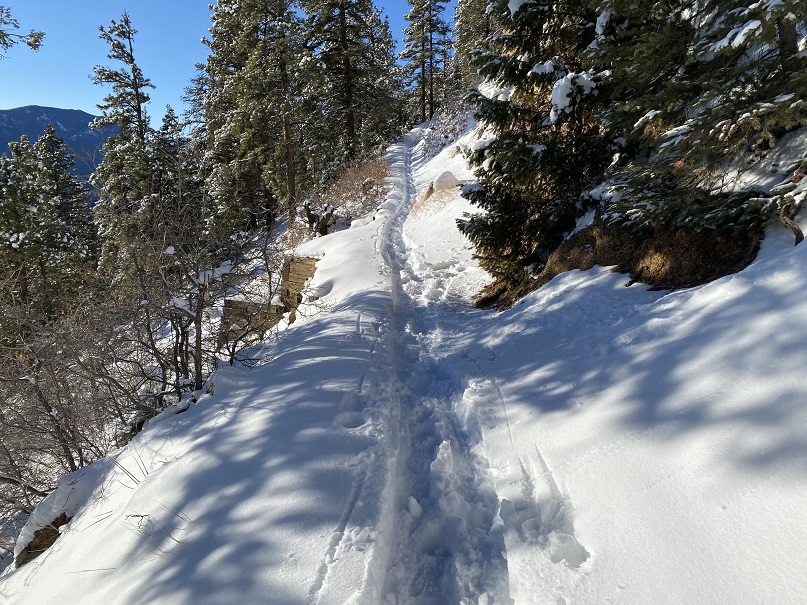
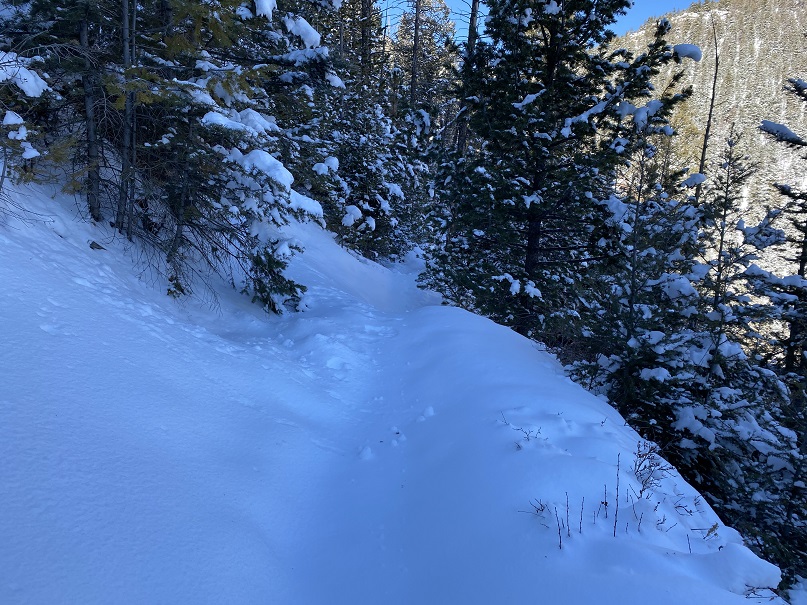
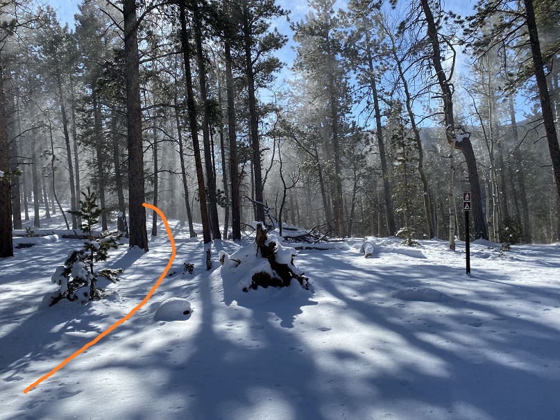
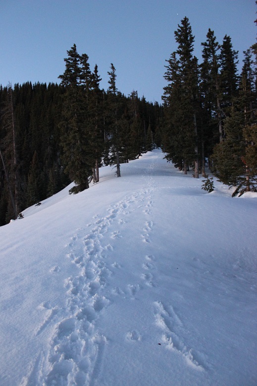
I could hear a stream to my right, but in the dark I wasn’t able to see the water. There were numerous trails criss-crossing the trail I was on, but as long as I kept hiking in the same direction (northeast) and aimed for the ridge I knew I was on the right track.  I stayed on the widest path, or what looked like the widest path.

6

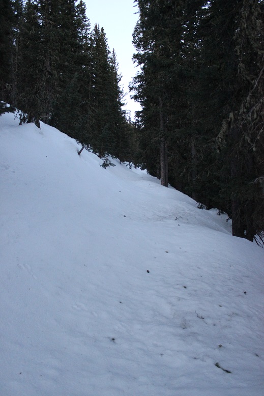
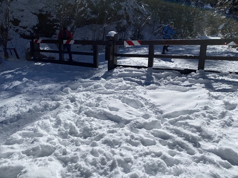
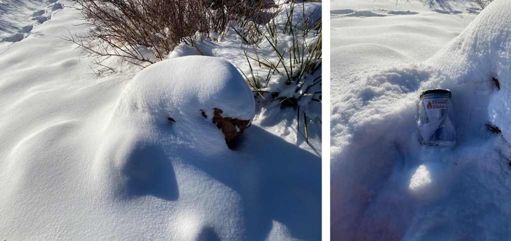
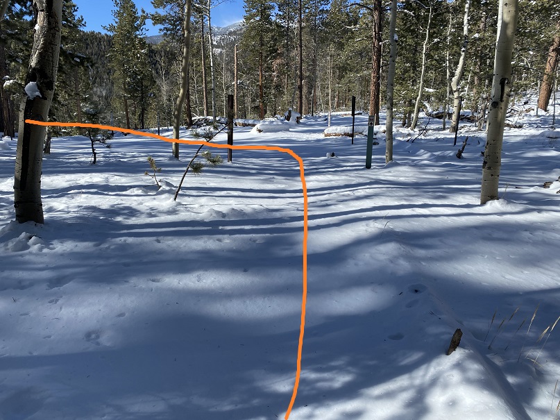
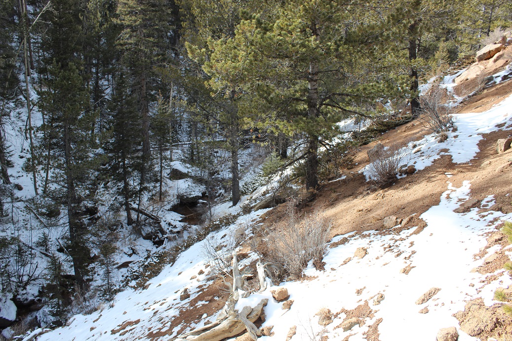
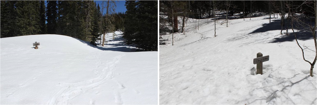
I knew I was supposed to cross the stream at some point, but never saw a bridge. It turns out I crossed the stream without knowing it!  Here’s a look at the “stream crossing” from my way back.

7

Yes, that moon was full!

8

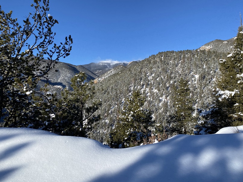
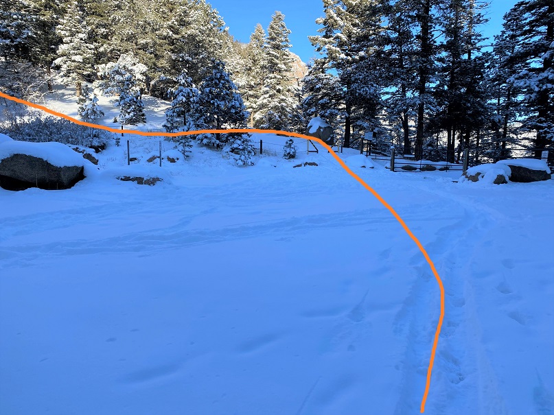
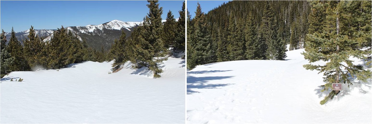
I made it to the Red River Canyon Overlook just as the sun was beginning to rise

9

10

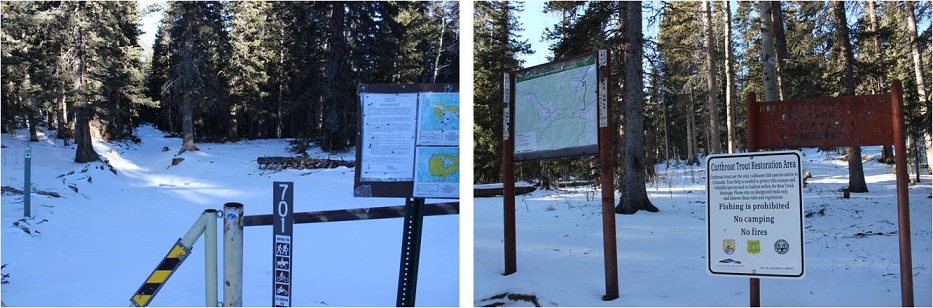
At the overlook I turned right and followed the trail to the Bull of the Woods pasture (which didn’t resemble a pasture at all. Maybe it was the snow?)

11

12

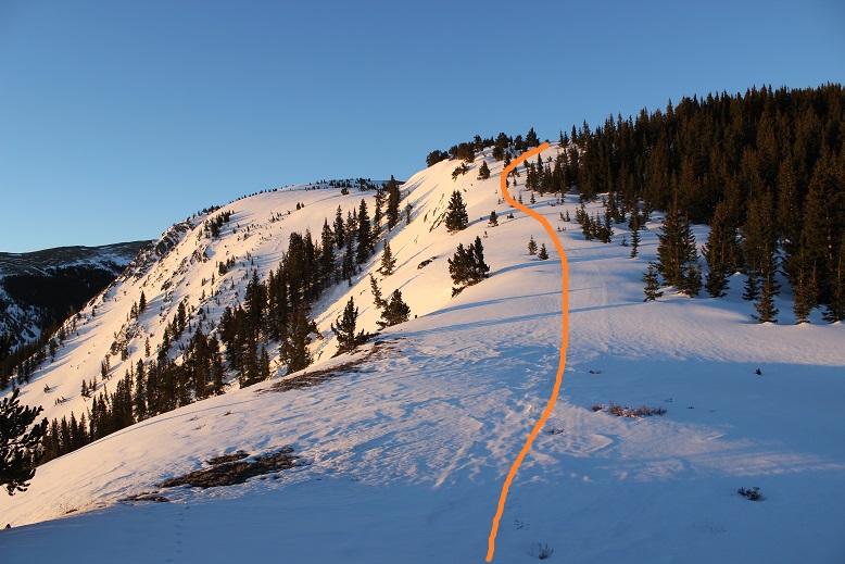
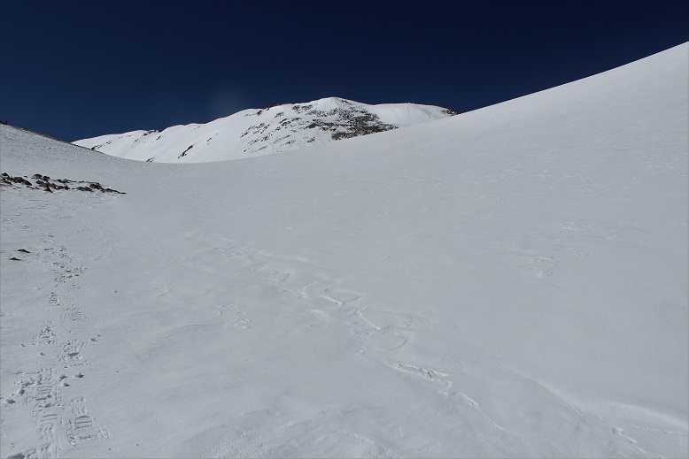
The footprints stopped, so I was breaking trail from here on out. I got lost a few times trying to stay off private property, but there was so much snow it was impossible to know where the trail was on the mountain.  (Hint, go left)

13

I stopped and put on my snowshoes and followed the ridge, making my own trail.

14

The section after cresting this hill was much steeper than it looks. I had to swing around to the right in order to safely climb through the snow.  Here the crampons on my snowshoes came in very helpful.

16


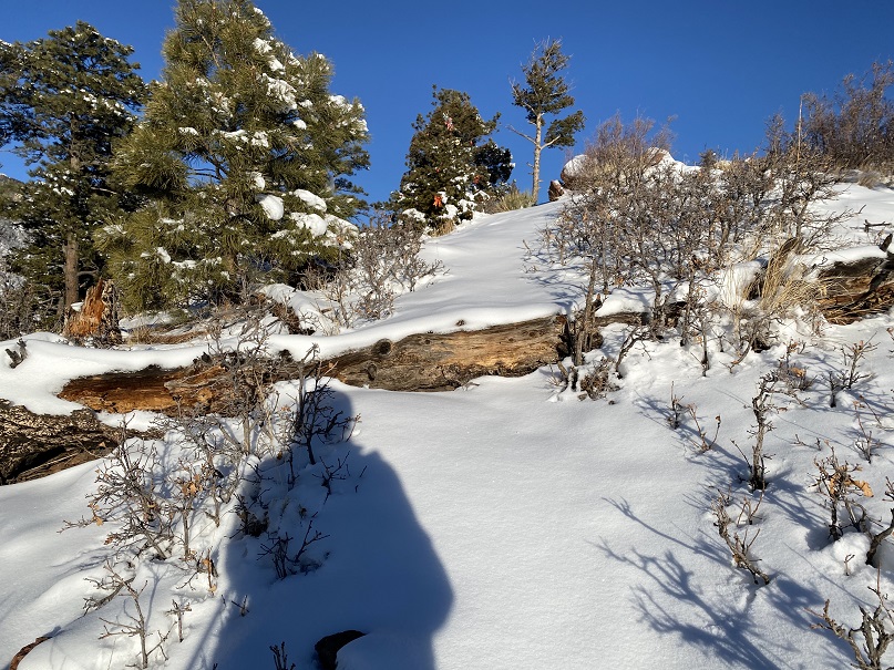
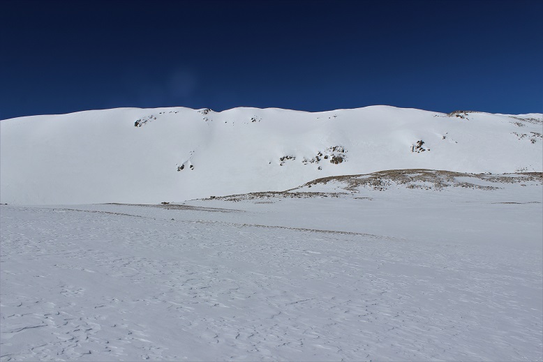
Until the snow just kind of stopped. I knew more snow was coming, so instead of taking off my snowshoes I followed the faint trail of snow around Bull of the Woods Mountain. Here there was either very little snow, or large, steep drifts of 20+ feet.  I was glad to have my ice axe.

17

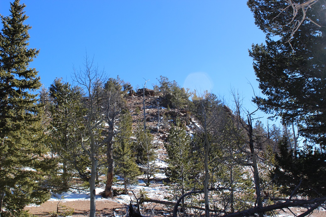
I rounded Frazier Mountain and could smell sheep. I looked all around, but not seeing any figured they must have passed the area recently (but that smell was strong!).  I was now presented with the La Cal Basin, which included a 300 foot loss in elevation.  This is also where there was quite a bit of snow, which I decided to take advantage of.  I needed to cross the basin, avoid those dicey avalanche areas, and then re-ascend the switchbacks on my left.

18

19

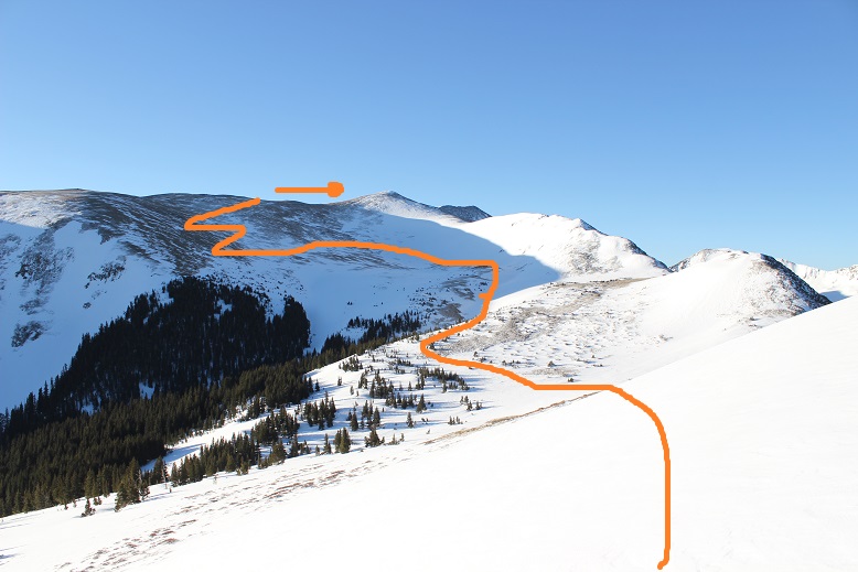
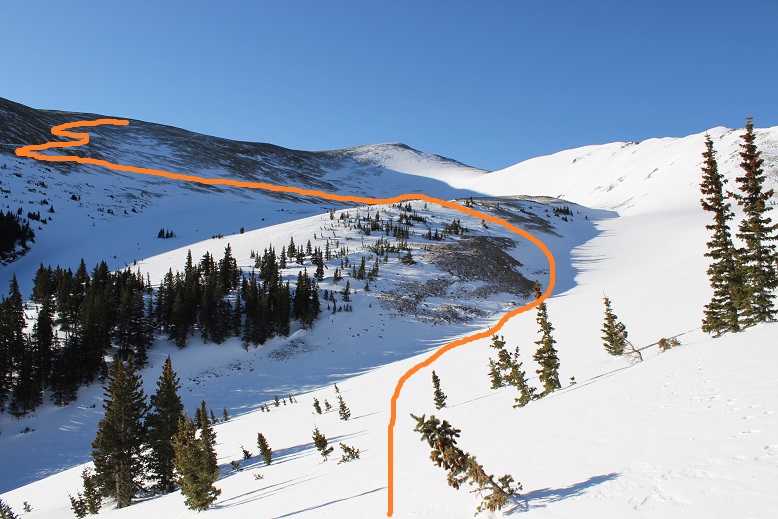
Crossing into the basin was a bit sketchy

20

21

22

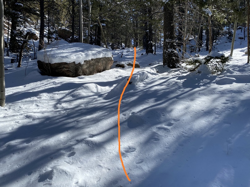
And I was glad to make it to the switchbacks on the other side. Here there wasn’t much snow, so in keeping with my goal of not taking off my snowshoes (just to put them back on again) I stuck to the snow lined trail.

23

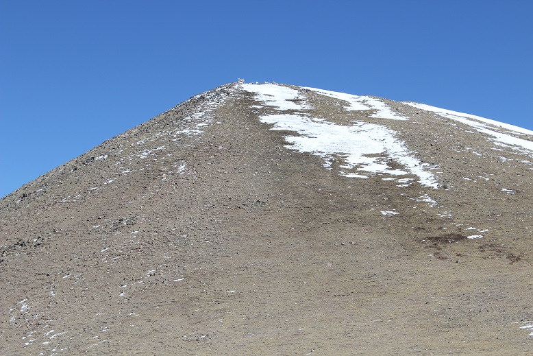
About halfway up the mountainside I saw a few bighorn sheep

24

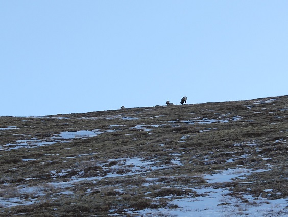
And when I looked across the ridge I saw even more!

25

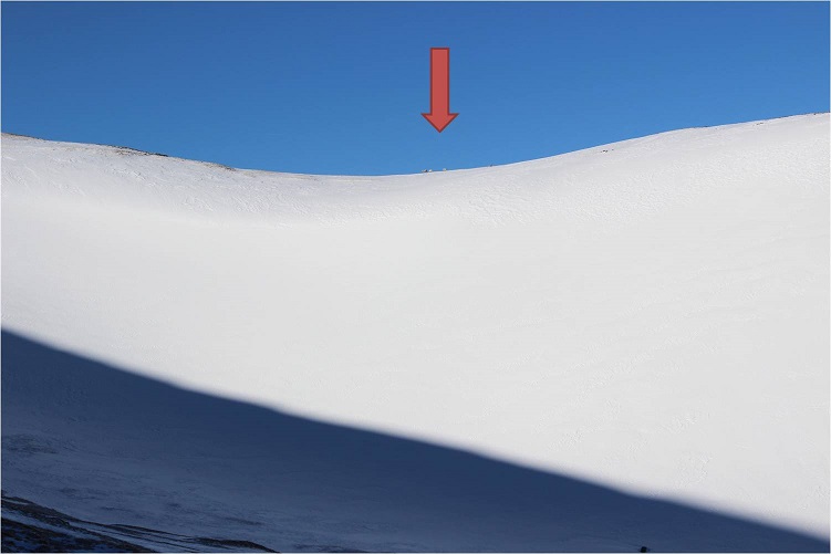
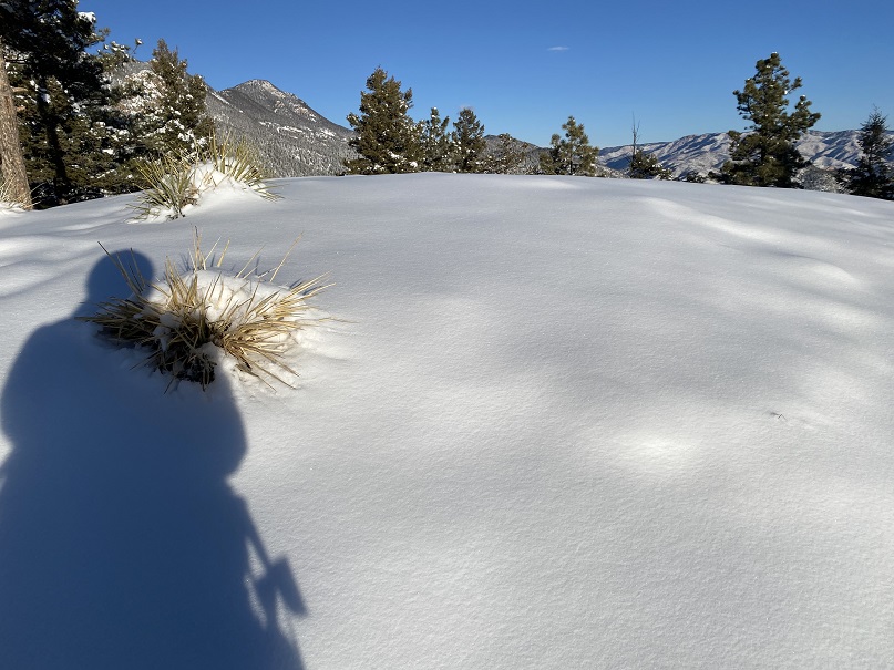
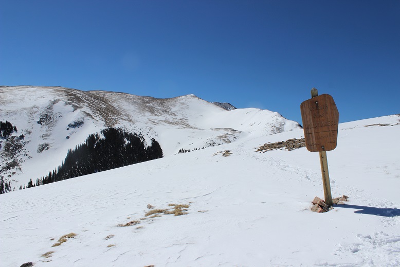
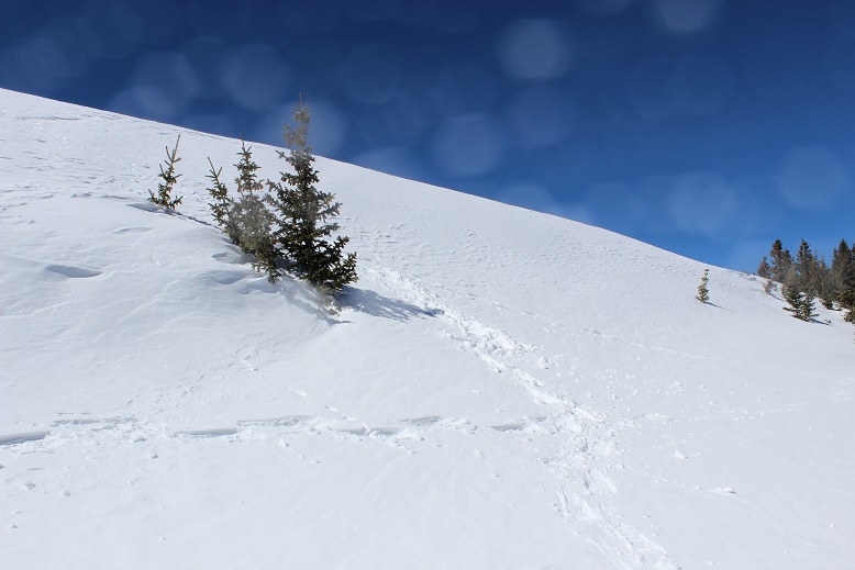
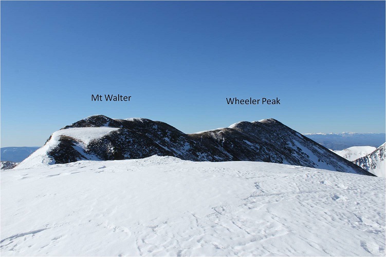
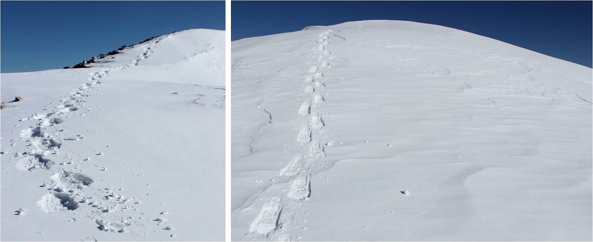
From here I saw what I thought was Wheeler Peak, but it was instead Mt Walter (Wheeler is beyond). I stuck to the snow to make use of my snowshoes

26

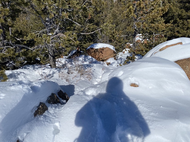
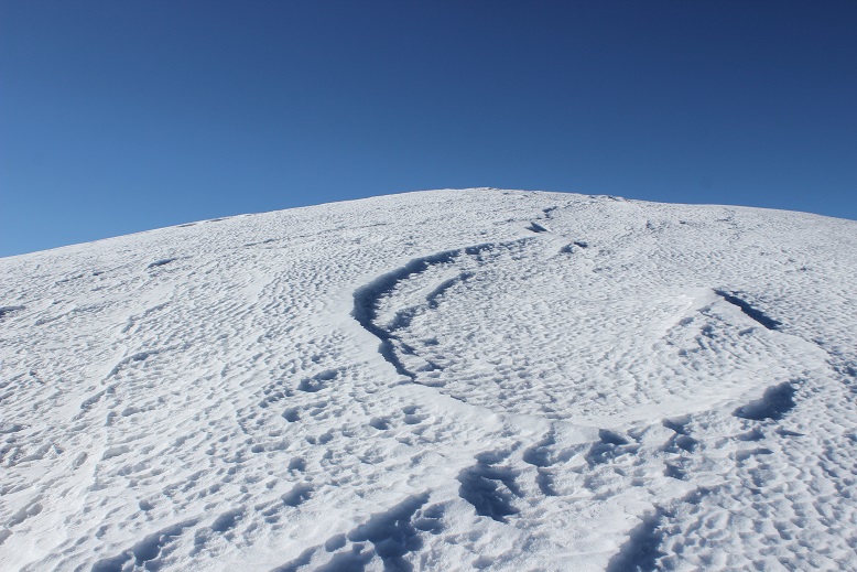
Sticking to the snow looked like this

27

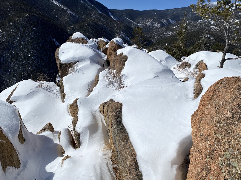
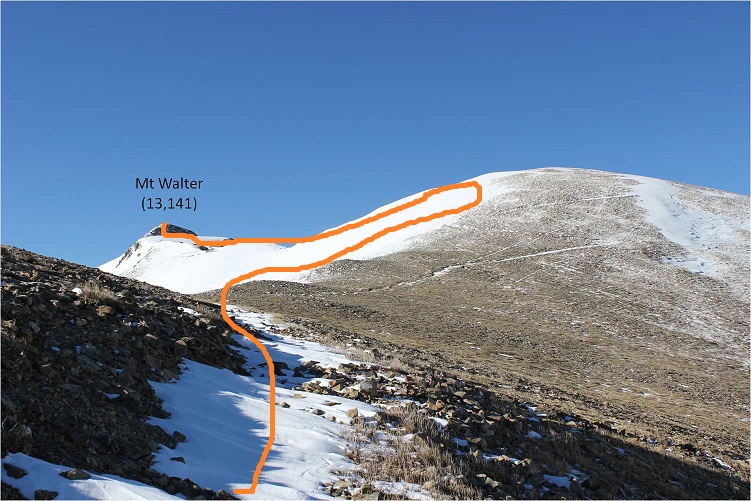
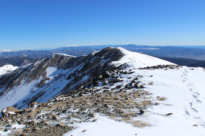
And from the top of this point (13,045) I could see Mt Walter and Wheeler Peak. Sticking to the ridge (and the snow) was the way to go!

28

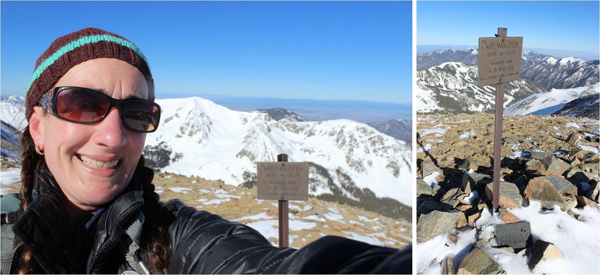
I passed Mt Walter and took a few quick photos of the signs and a selfie to prove I was there.

29

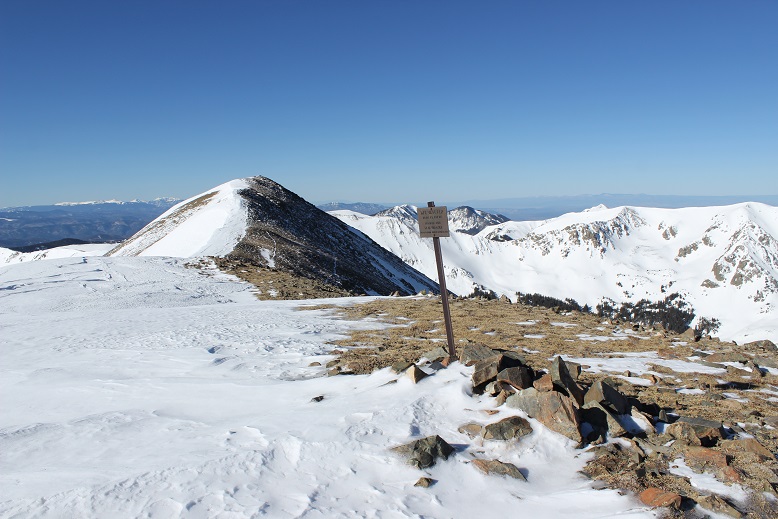
From here you can clearly see the summit of Wheeler Peak

30

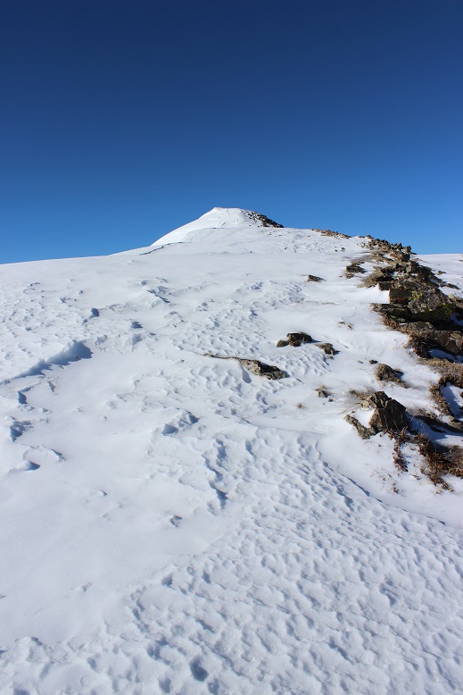
Once again, I stuck to the ridge

31

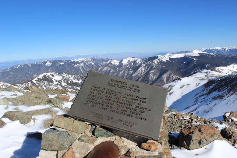
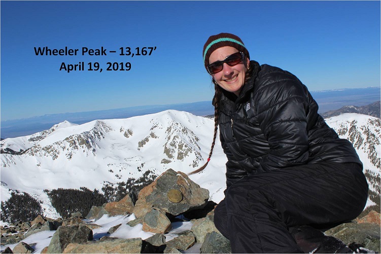
And summited at 8:45am

32

33

Here’s the Summit Video, which I’m excited to say is the first summit video I’ve been able to take all year! I’m so glad it was warm today and sans wind.

Video: Wheeler Peak NM

OK, time to turn back. Here’s what the route looks like back from Wheeler Peak… just stick to the ridge

34

35

Yep, lots of snow! I was glad to have my ice axe.   Snowshoes were a must the entire way back down.

36

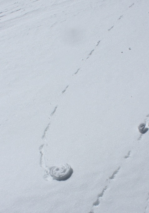
I started crossing the basin again, and unfortunately the sun had warmed up the snow. Snow kept collecting under my snowshoes and I had to keep stopping to kick it off. I made it back to Frazier Hill and saw those sheep I’d smelled earlier (I KNEW they were there somewhere!)

37

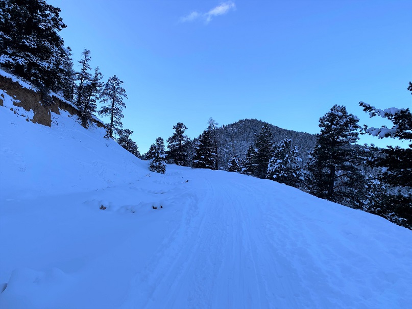
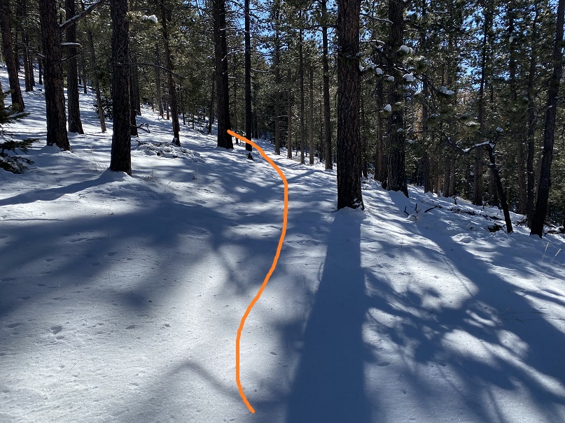
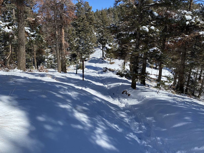
Following the trail in the light of day proved much easier than in the dark, with the added bonus of being able to follow my snowshoe tracks.

38

39

I made it back to Bull of the Woods pasture and once again found footprints. Lots and lots of prints, both human and animal.

40

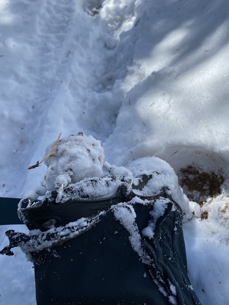
The only downside to the warmth of the sun (besides clumps of snow in my snowshoes)? Rollerballs the size of dinner plates

41

As I followed the trail back to the stream I was actually able to see the stream

42

I didn’t see anyone all day until I was about half a mile from the trailhead on my way back down. I talked with a gentlemen about the conditions on the trail. He said he’s hiked these trails for years and was surprised I’d summited today. He was even more surprised when I told him I’d started at 5am.  In fact, he didn’t entirely believe me.  I made it back to the trailhead at noon, and when I stopped my Strava tracker I was told I’d sent a new app record for completing this hike.  Pretty cool!  I’d hiked the 14.2 miles of 4467’ in elevation gain in 7 hours.

43

Just for fun, here’s the relive of my hike. Note: Obviously I summited today, yet the tracker shows my high point was just shy of Mt Walter at 13,139’ (not Mt Wheeler at 13,167’), which is one of the reasons I take what these trackers record with a grain of salt.  I’ve had people tell me because my tracker doesn’t show a summit that I didn’t summit.  I call those people summit snobs and unfollow them from my account(s).  No one needs that kind of drama in their life!

Relive:  https://www.relive.cc/view/2302667578

Oh, and the good news? I was finally able to get my New Mexico Starbucks mug in Taos!  I’ve been trying for years to get a New Mexico mug to add to my collection, but they’re always out when I visit.  Funny, the mug doesn’t mention aliens at all…

44

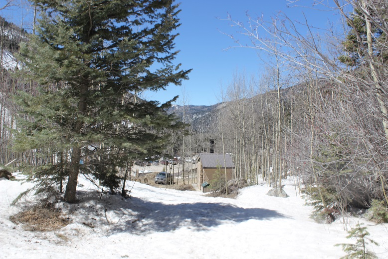
Also, the ski season in Taos is over, which was a real shame because there was so much snow! And, Taos is beautiful!  Majestic even.  I had no idea!

Runs Down Fast mountain 11,048

1

The last time I tried to summit this mountain I was unsuccessful (https://wildwandererlmc.wordpress.com/2017/12/09/north-cheyenne-canyon/ ) mainly because the trails had changed.  The forest service had actually destroyed some trails, created new switchbacks and connections for others.

I met Tim at 7:30am and we drove the 13 miles of dirt that is Old Stage and Gold Camp Road. This time instead of hiking in through North Cheyenne Canyon and the 7 Falls trail we hiked in from Frosty’s Park.

It had snowed 3 days ago, but it was obvious no one had been in the area since. We were making the first tracks.  There were a couple of frozen river crossings, but the Tundra did just fine.

We started at the 701 Trailhead at 8:40am, intent on hiking to Runs-Down-Fast Mountain.

2

This trail too was undisturbed. It was really cool to be breaking trail in 2-4 inches of powdered snow!

3

4

After hiking for about 2 miles we were able to see Runs-Down-Fast Mountain through the trees. Kind of.  The area was densely treed and it was difficult to see any mountain, but we were pretty sure this was it.

5

There’s no trail to the summit, so we just headed north through 600 feet in elevation containing a lot of downed trees, boulders, brush, and snow. And the wind!  It was insane!  Gusts were supposed to be 55mph, with sustained 25-35mph winds.  They weren’t kidding!

6

We reached a false summit and then continued on for about 20 more yards. The view from the top was lacking, as the summit was heavily treed at 11,048’

7 View from summit

We walked around for a bit, and found an ok view from the north most part of the summit of Almagre. Pikes Peak was hidden in the clouds.

8

Since it was windy we didn’t stay long, but descended and once again found the 701 trail. I’d wanted to summit 2 or 3 more mountains, but with the recent snow the trails were hidden (or maybe they weren’t there at all?).  We did see this plateau and decided it looked doable, so we headed up through the wind to its summit.

9

The slope up was all scree, but the good kind that is easy to find traction on.   I tried to take a summit selfie but my camera kept getting knocked down by the wind!

10

When Tim made it to the summit we tried again. The camera kept getting knocked around, but I think we got a pretty good shot!

11

The views were much better from this summit, even though it was about 600 feet lower than Runs Down Fast. This point has no name (or written elevation, but it’s 10,000+)

12

It was super windy here, so we headed back down to the trail again. I wanted to try and figure out where I’d gone wrong the last time I hiked this trail (I never did find Runs Down Fast last time) so we continued on the 701, looking for the 720.  We hiked all the way to the 667 and never saw it, so we turned around and decided to look more carefully. Check it out!  We found the destroyed trail!  They’d ripped up perfectly healthy trees, roots and all, to try and hide the existing trail.

13

We followed the 720 for a while, but eventually hooked up with the 667 again, which brought us to the 668 and around. I was confused the entire time, mainly because we were below treeline and the route didn’t match my map.  I was freezing by this point.  It wasn’t lost on me we’d hiked in about 5 miles and would need to hike back 5 miles to get to the truck.  My fingers were numb (but at least my feet were warm).  The trail kept descending until it reached about 8500’ and followed the creek.

We hiked the 668 and Ring the Peak trail following the Cheyenne Creek. There was a lot of snow here too.

14

15

This is where the elevation started to climb rapidly. We’d descended about 2500’ and needed to make it up again to reach 10,500’ where the truck was parked.  Most of that elevation gain was in about a mile and a half.  We passed an old cabin

16

And for the last mile we followed Bobcat tracks! They were really neat to see, clearly marked in the snow, and proof of wildlife.  Unfortunately they were headed in the direction opposite of where I was headed, but I was able to follow them almost the entire way back.

17

The elevation kept getting steeper, so Tim and I separated for the rest of the hike. He said he’d just follow my tracks in the snow.  Right about now it started to snow again.  Not a heavy snow, but more of a sprinkling of glitter in the air.  The wind had died down.  It was quiet, calm, and peaceful.  I was no longer cold, as my body was producing heat from hiking harder up the hill.

Take a look at this photo: It’s a stream crossing.  Under that 2 inches of snow is another 2 inches of solid ice, spread out for about 20 feet.  It was incredibly slippery, so I traversed around it and up the hillside.  The one part of ice I couldn’t avoid sent me skidding for a bit, but I maintained my balance.

18

I made it back to the trailhead at 2:04pm. I’d say the hike was about 10 miles, with 3500’ of elevation gain total (up and down and up again).

19