I was still sore from the fall a few days ago, but needed to get out, so I made a reservation to hike the Manitou Springs Incline first thing in the morning. I’ve done this route several times, so I’m just going to show you how beautiful it was that day.
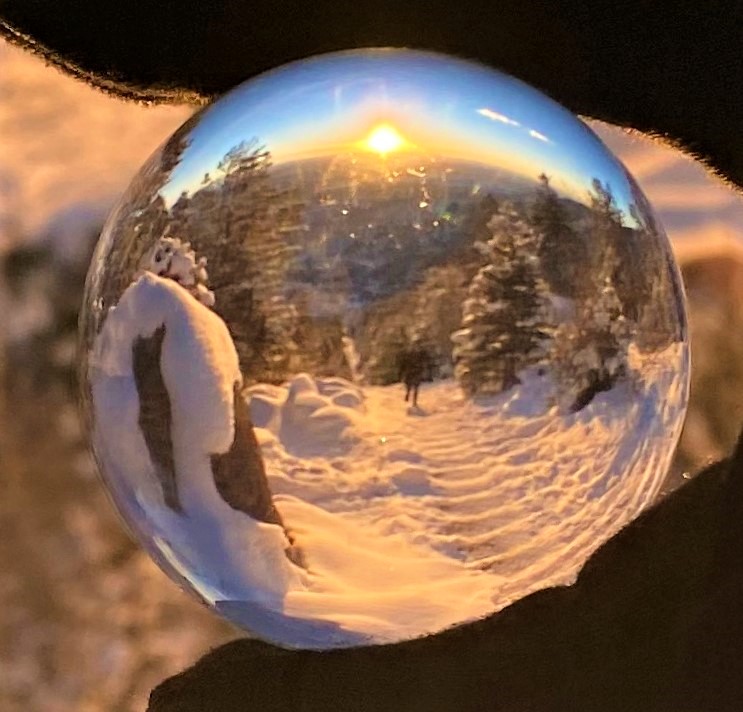
At the top I got some lensball photos of the incline and hikers. There seemed to be a lot of regulars here today.
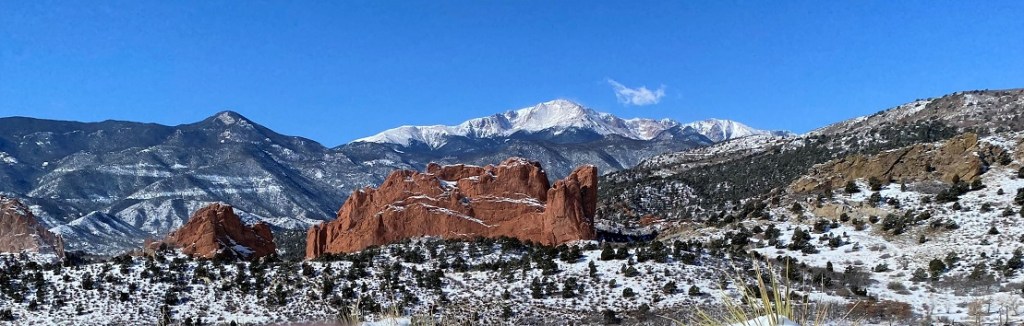
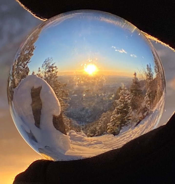
Then I continued on to Rocky Mountain. I broke trail here, and got another lensball photo of Pikes Peak from the summit
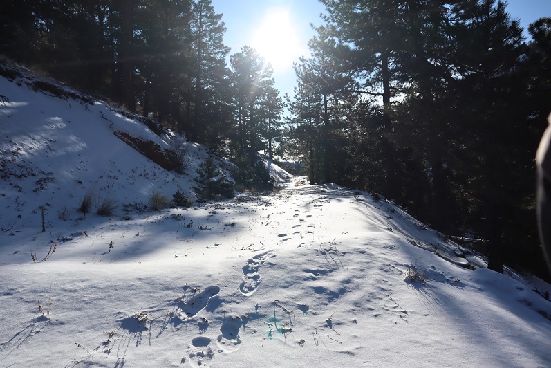
I once again broke trail to Mt Manitou, and then took the Barr Trail down. It was icy everywhere!
Here’s a look at the Incline from later in the day
Rt Length: 10 miles
Elevation Gain: 3499’
Partner: Steffen
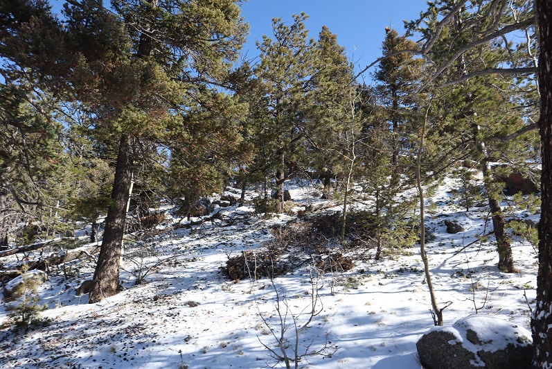
Winter and spring summits tend to be all about being flexible: snow is usually present but the ability to hike through it is unpredictable. We started out wanting to hike some highpoints along Rampart Range Road, but when we got to the road it was closed (but looked to be in great shape, so I’m not sure why it wasn’t open?). So we sat in the truck for a bit, trying to decide where to go. We had chosen these peaks today because Steffen’s knees were hurting him and he was looking to hike something short. The only other peaks I’d done any research on in the area were Sheep and Mary’s, so we decided to go there. Please note, I hadn’t done much research on them, but I had a map…
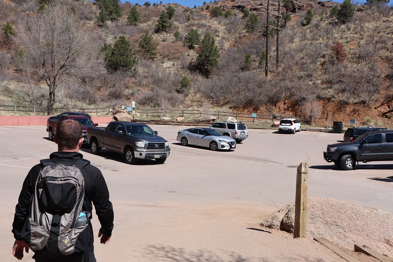
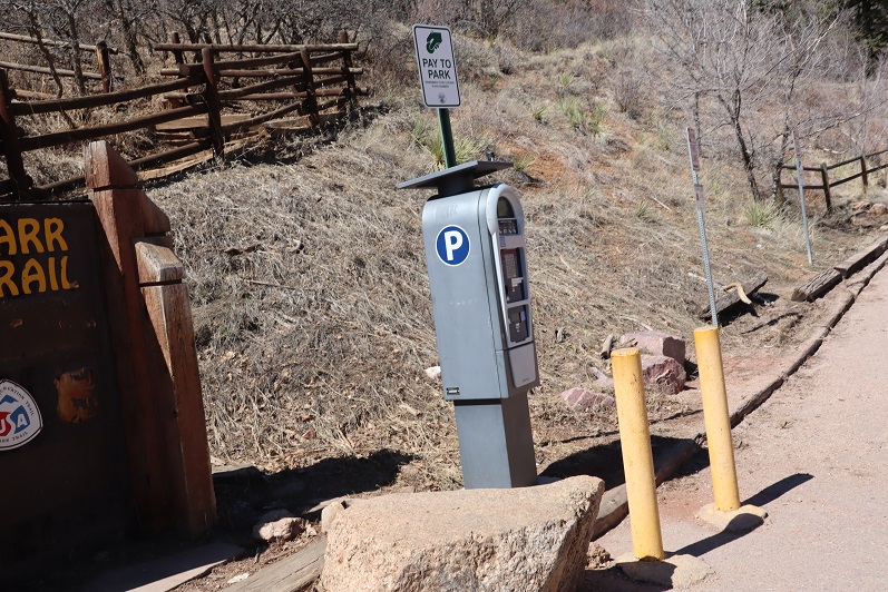
We parked at the Barr Trail Parking lot as all the other parking lots in the area are closed due to the Coronavirus. We were the only vehicle in the lot when we arrived, but when we got back there were a few more cars.
I paid the $10 to park and we were off
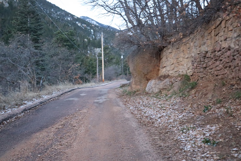
We backtracked down Hydro Drive to Ruxton and followed Ruxton west
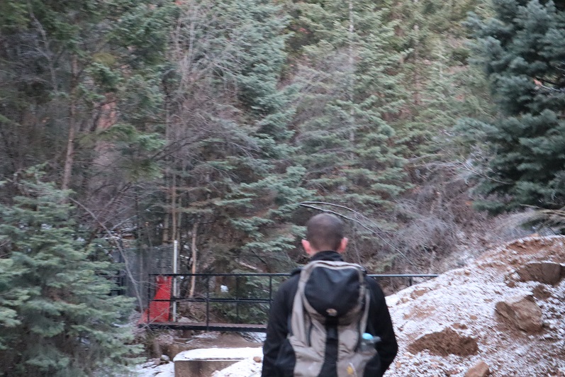
Crossed a small bridge over Ruxton Creek
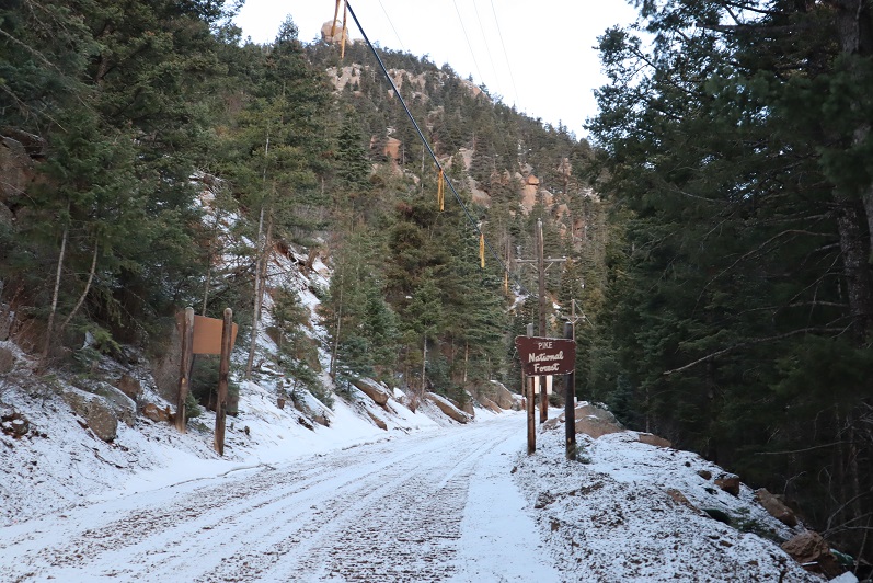
And made our way up to the cog railway tracks (which are gone now because they’re re-doing the tracks/cog/cars).
Signs told us we were on National Forest Land
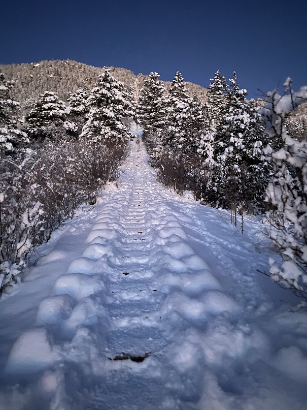
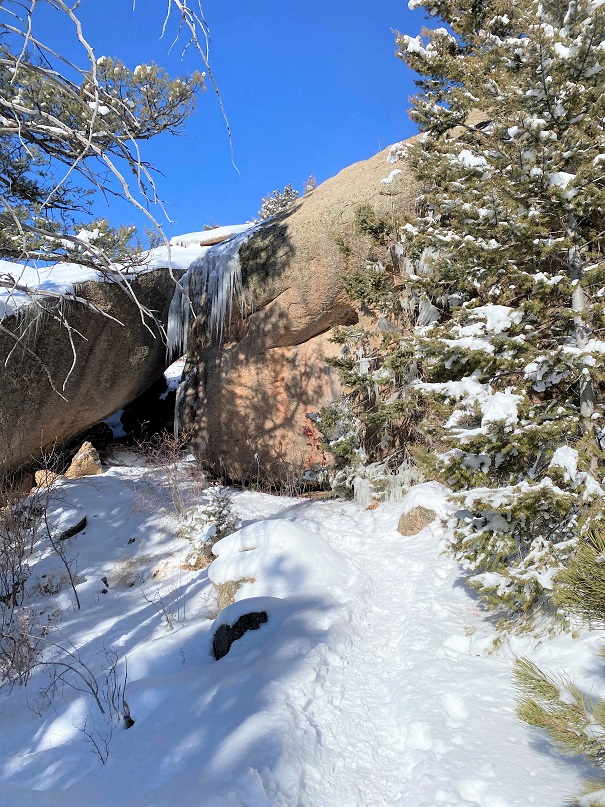
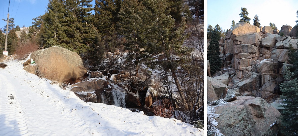
We followed the tracks for 3 miles. Let me tell you, this is much, much steeper than it looks! I kept expecting the road to even out a bit, but it just kept getting steeper and steeper. There were some neat waterfalls and rock formations to see along the way
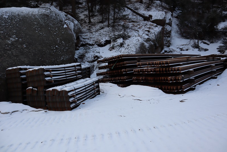
They also have materials to start setting new tracks
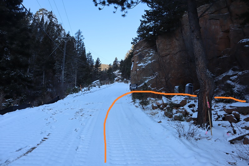
After 3 miles we were supposed to turn left to head up the side of Sheep Mountain, but the snow here was several feet deep and Steffen didn’t have his snowshoes. We considered continuing up the cog tracks but there was a “no trespassing” sign and even though the cog is obviously not running it seemed a bad idea to continue hiking on private property. So I got out my Pikes Peak Atlas and noticed we were at the junction to 706, what looked to be an ATV route. It looked like it would eventually hook up with Barr Trail, so here we turned right and followed the trail.
We hiked across a bridge carrying a water pipe over Cabin Creek that kind of freaked Steffen out a little (he’s not too fond of heights)
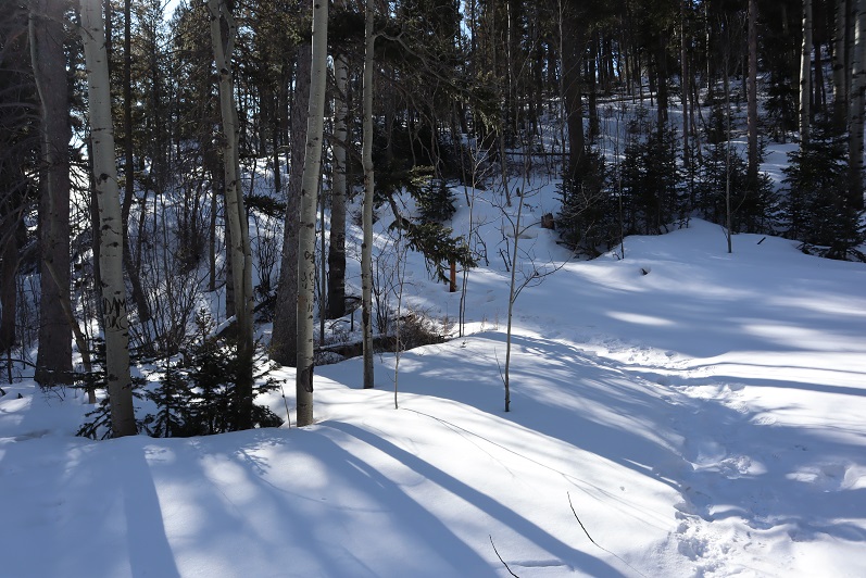
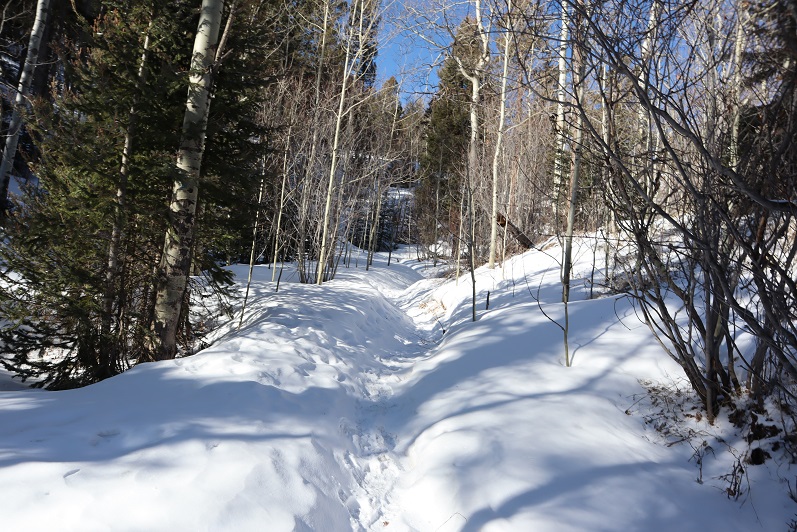
And continued following the trail around the mountainside.
It was a nice path, and there were several places along the way I thought would be great backpacking spots (I can see hanging a hammock here for the night)
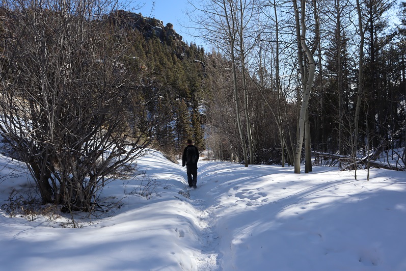
The trail eventually led us to the Barr Trail, where it intersects just past the Experimental Forest, and right where I distributed flower seeds in memory of my Granny a few years ago.
We turned right (east) and followed the trail to the Experimental Forest Junction.
At the junction we decided to summit Mt Manitou today, just to say we’d summited something. So here we turned left and followed the road north, past the Experimental Forest
And up the road to its highest point, where we left the road and headed north to the summit of Mt Manitou.
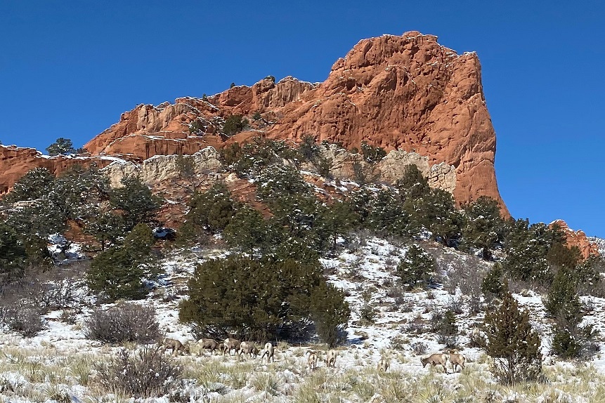
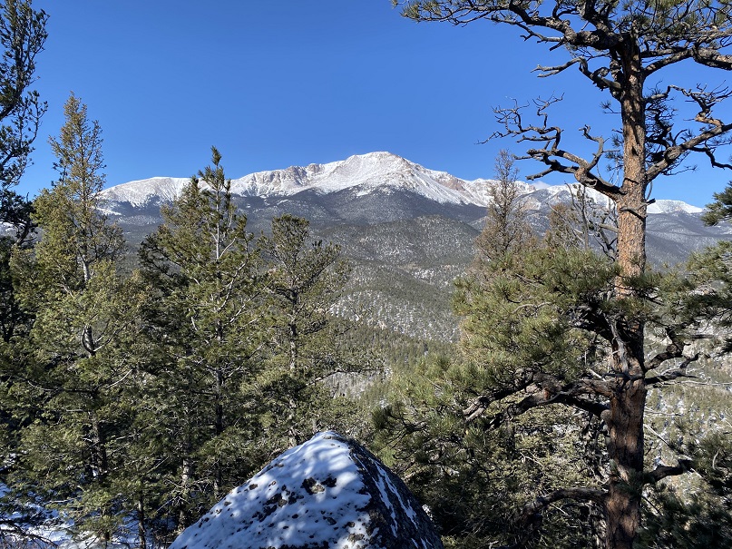
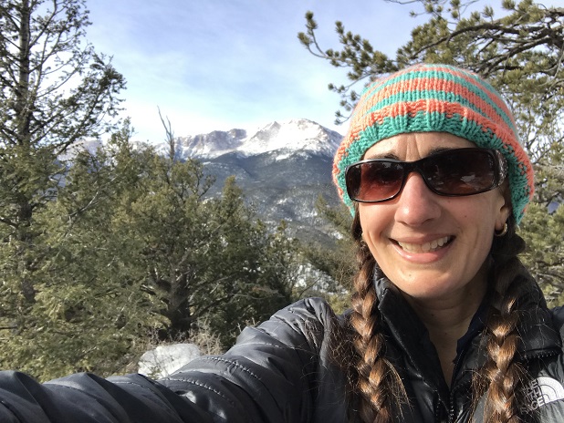
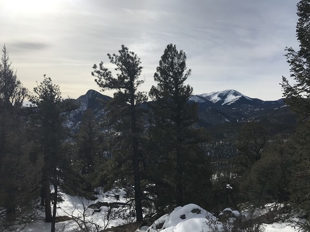
It was rockier than I’d remembered, and further from the trail, but an easy trek. The views of Pikes Peak are wonderful!
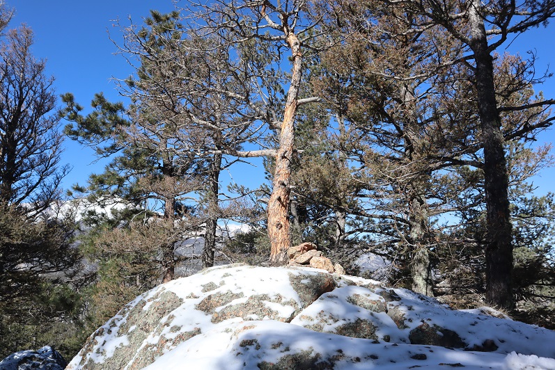
Oh, this is the ‘summit’ of Mt Manitou
It was windy so we headed back to Barr Trail and followed it for 3 miles back to the parking lot. It ended up being a good hike, with decent mileage and elevation gain. As an added bonus, I found a way to connect the Barr Trail with the cog. I filed that information away for later use.
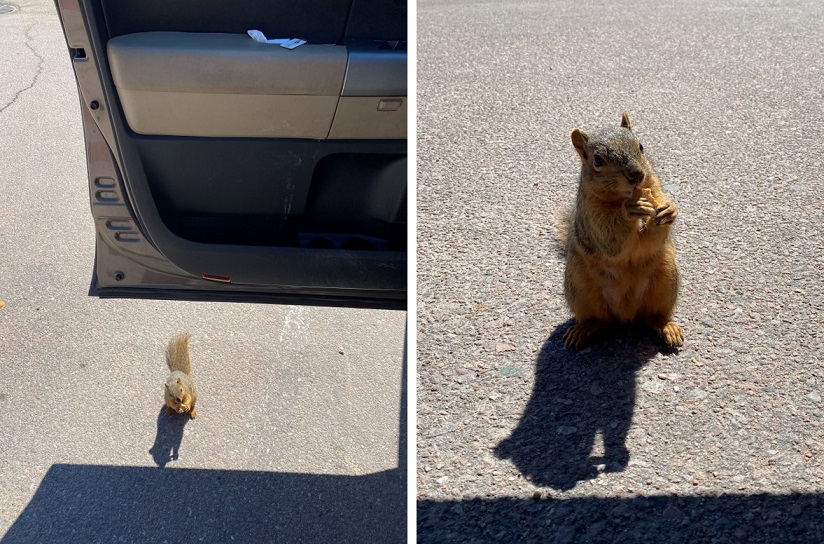
As we were getting ready to head home we had a squirrel come up to the door of my truck. It moved back and forth a few times and looked like it wanted to jump into my truck. I’m guessing he was hungry: he stole one of my Do-si-do Girl Scout Cookies!
This little guy obviously didn’t understand social distancing so I closed my door and we drove away. I didn’t want to take a squirrel home with me!
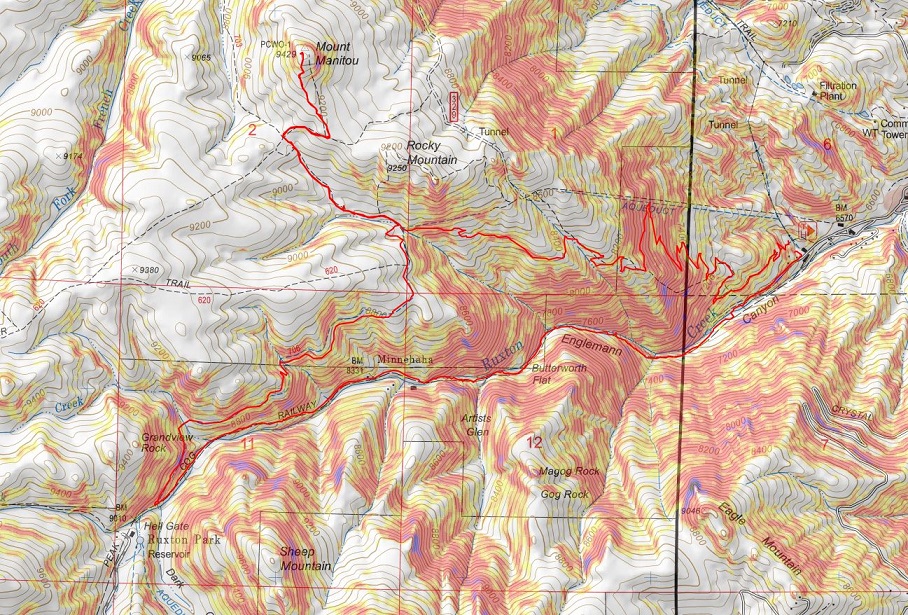
Here’s the route we took today
The weather was absolutely perfect today for a hike, but the avalanche danger was high above treeline so I decided to play it safe and stay local. I set my alarm for 3am, decided when it went off that was way too early considering I didn’t need to drive far, and set it again for 4:20am. The cats woke me up around 6am, wondering why I was still asleep. I jumped out of bed, silently cursed my alarm for not going off a second time, realized it was user error on my part, and decided to head out hiking anyway as the sun wasn’t yet up.
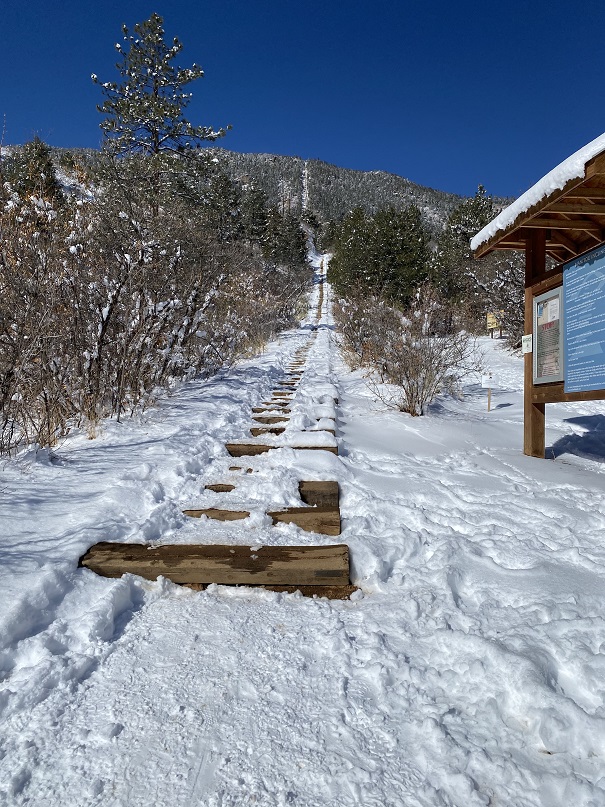
There was a man attending the incline parking lot when I got there. He informed me today was the last day they were allowing parking at this lot, as they were going to use the lot as a storage area for equipment needed to fix the cog railway. This was interesting information, and means I’ll have to either park at the shuttle lot (gasp!) or find other parking downtown if I want to hike the incline for the next two years. I made it to the trailhead at 6:40am and was on the trail by 6:50am.
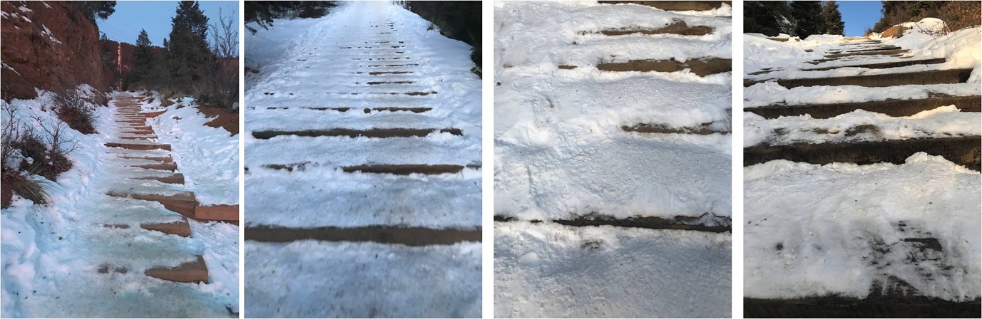
I usually hike for time when I hike the incline, but today I’d planned on just taking it slow and steady as I planned to hike it more than once. The steps were either completely dry or completely covered in snow/ice. I was glad I’d brought my microspikes.
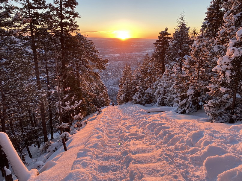
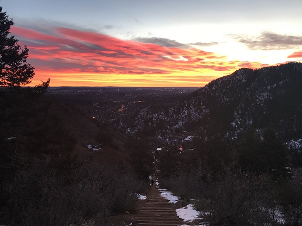
Just before 7am the sun started to rise. There were clouds in the sky so I never got a true view of the sunrise, but it was still beautiful
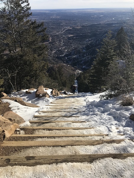
There weren’t many people on the trail this early in the morning (there’d only been one other vehicle in the lot) so the trail was nice and quiet. I only saw about 5 or 6 people on my way up. I summited the incline around 7:30am.
The 2.5 miles down the Barr trail was icy most of the way to the parking lot. Once again I was glad I’d brought microspikes.
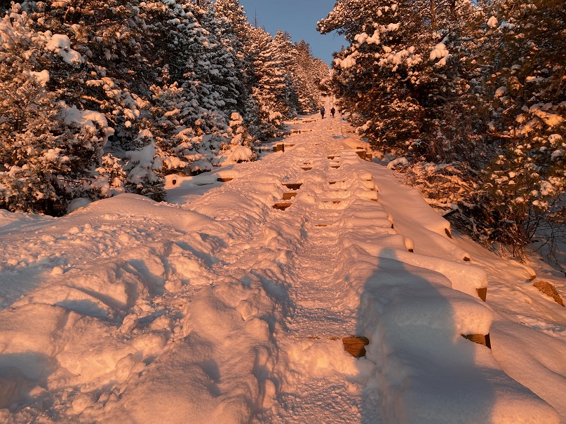
OK, time to start this again. Once again I continued up the stairs, slow and steady. It was warmer now but microspikes were still needed. There were also many more people on the trail. I felt overloaded in my knit hat, snow jacket, and with my pack full of gear while everyone else was in shorts and only carrying a water bottle, but I didn’t intend to stop at the top this time. I summited the second time at 9:30am
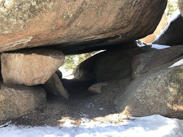
I’d had enough of people (there were dozens on the trail now) and decided to try to find the summit of Mt Manitou. I had a trail map that gave me the general direction of where the mountain was, but knew there wasn’t an established trail so I’d have to get creative to find the summit. I also couldn’t find any trip reports online, so I didn’t have more than my topo map to go by. I headed up the dirt road behind the incline towards the Barr Trail. Here I found a trail that paralleled the 4WD road and decided to take it instead
It led me to a cave
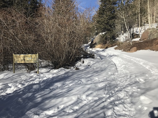
And then brought me back to the Barr Trail where it intersects with the experimental forest.
I’ve hiked in this general area dozens of times and I’ve seen the sign for the experimental forest every time, yet I’ve never taken that route. Today was my day! I knew this trail would get me close to Mt Manitou, so I followed it and quickly came to the old experimental forest area.
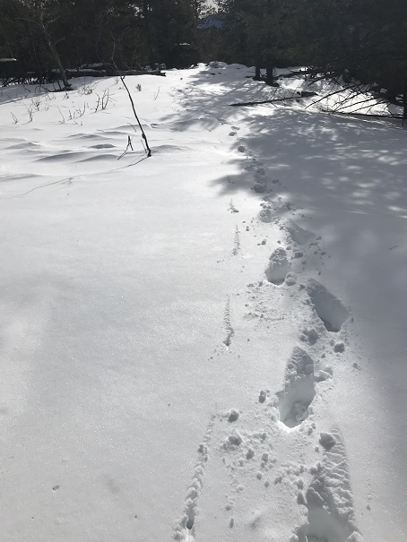
I continued to follow the dirt road covered in snow up and around past the experimental forest. When I was sure I was close I got out my phone and pulled up my Peakbagger app. It showed Mt Manitou as being NWN from where I was, so I aimed my compass in that direction and started hiking off trail. This is where I really could have used snowshoes.
I was sinking up to my shins in show but the good news was there wasn’t any wind so it would be easy to find my way back just following my tracks. I could tell I was getting close to the summit when the snow lessened.
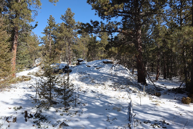
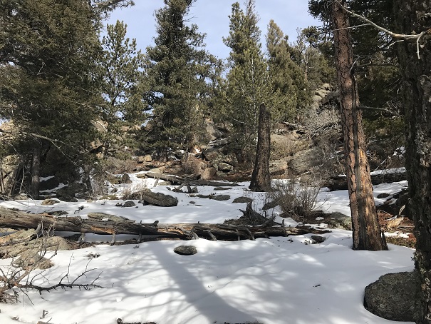
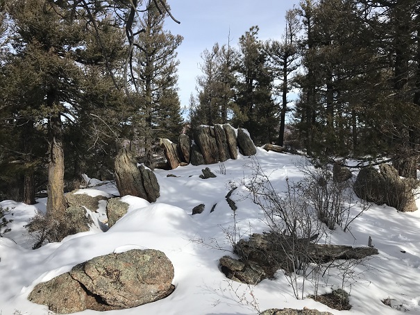
Still no trail, I kept hiking upwards, and soon I was at the ‘summit’. This was a treed summit with a lot of rocks. One of them held a cairn and that was my only indication of a summit (that and it was the highest point around)
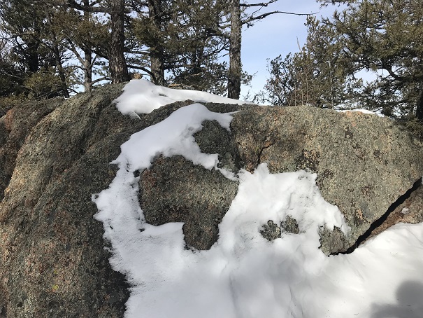
I climbed up on the rock both to make sure I was on the highest point
And to get a picture
And a video:
Mt Manitou Summit:
From the summit I could also see Cameron’s Cone, Almagre, and Pikes Peak
Ok, time to head back down. This was super easy as I just followed my earlier tracks back to the 4WD road and the 3.5 miles back down to the parking lot. This time the Barr trail was slushy and I was kicking up rooster tails of dirt onto the back of my pants. I made it back to my truck at 12pm, making this a solid 4865’ of elevation gain 11.5 mile hike in under 6 hours.