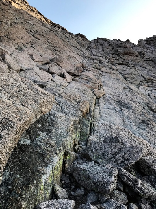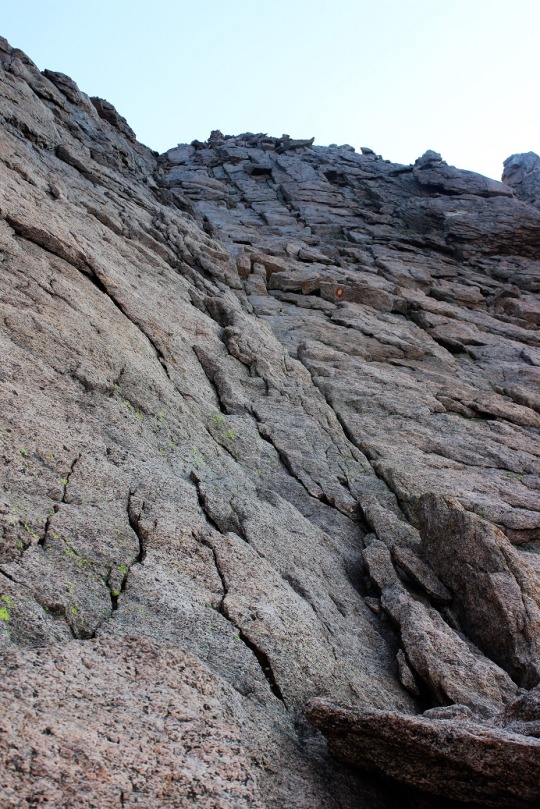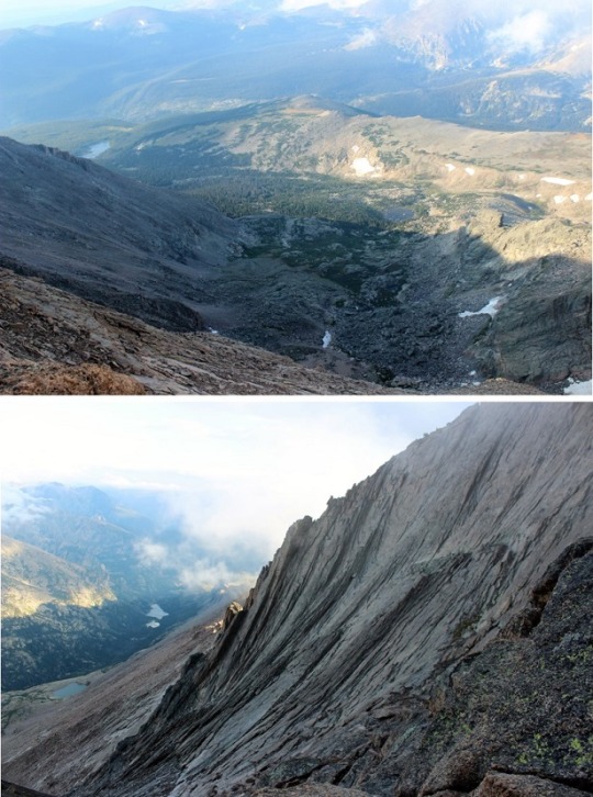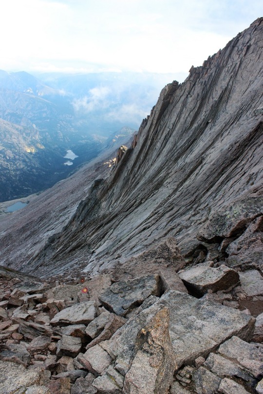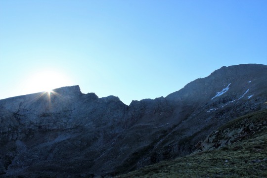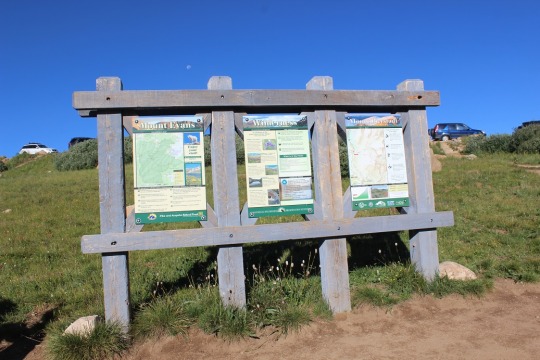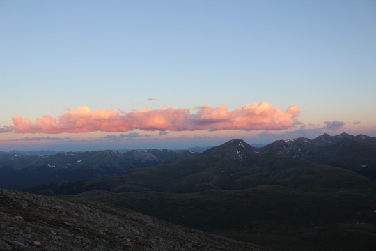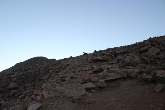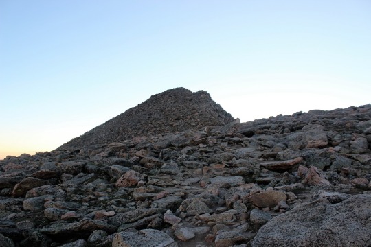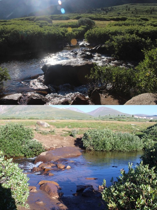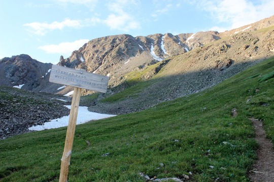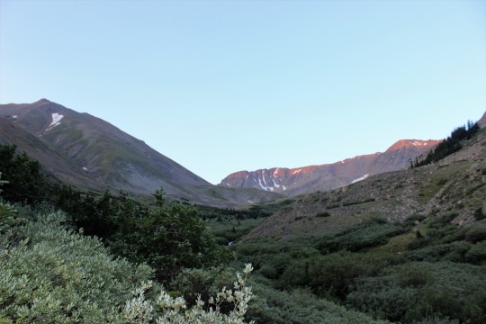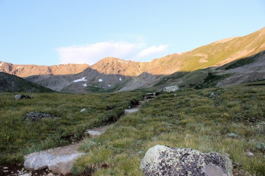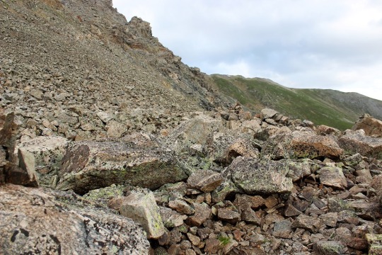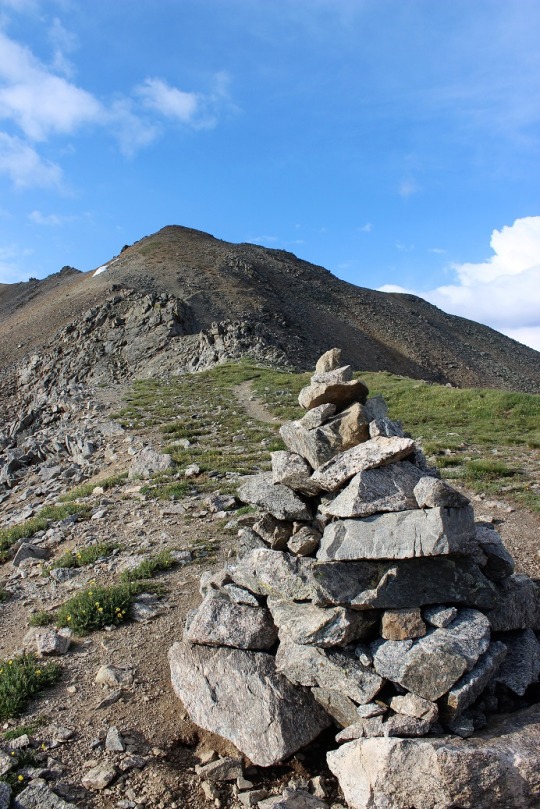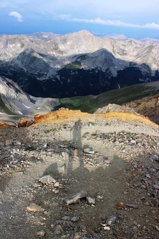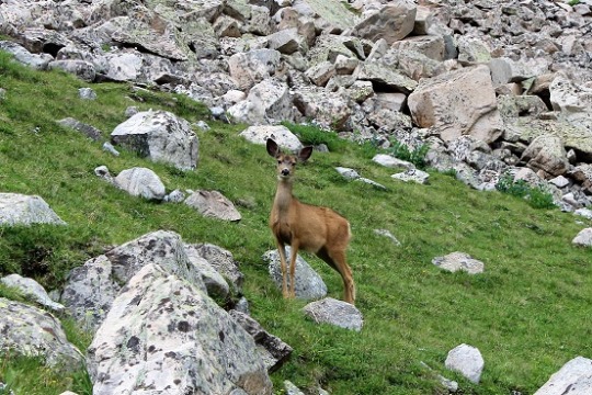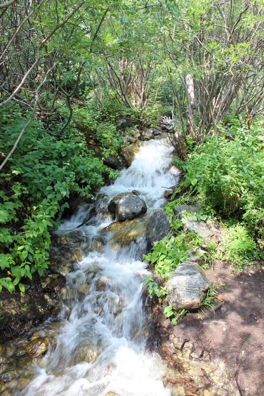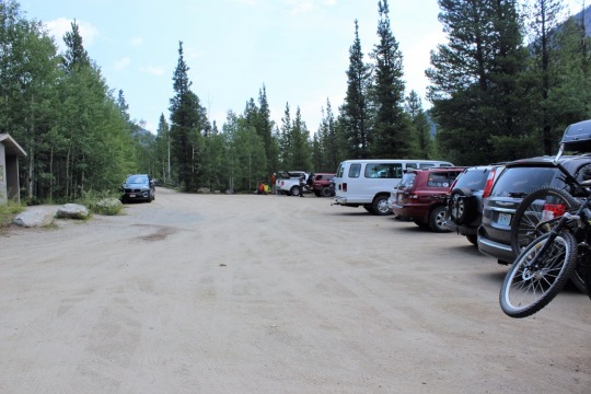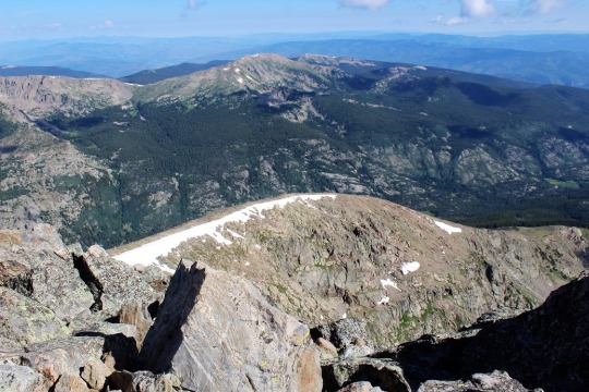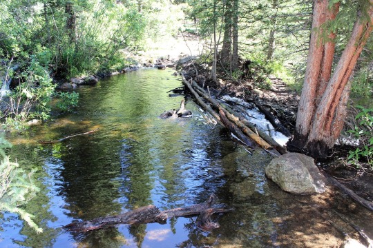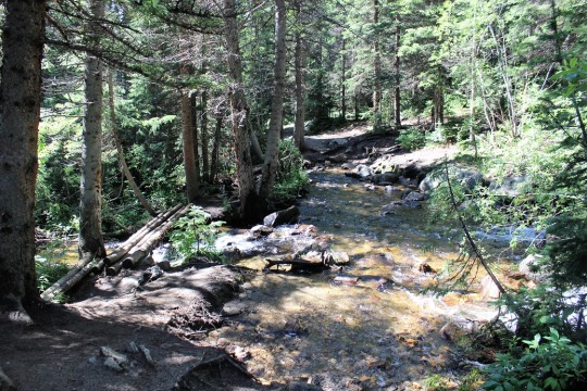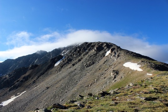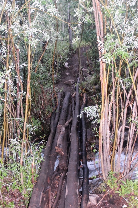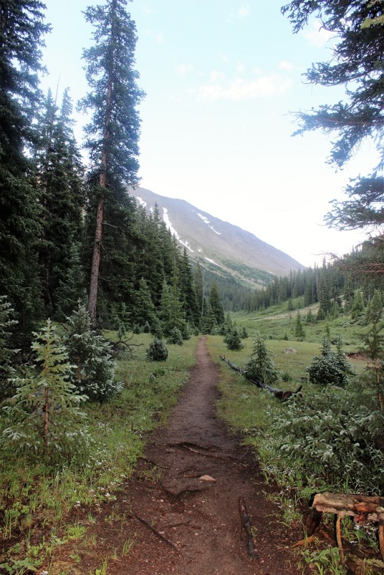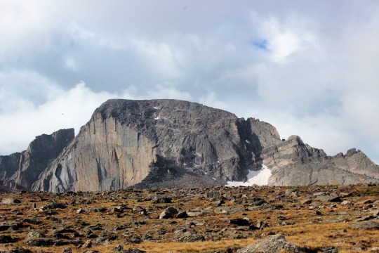
Longs Peak 14,255

image

This is the most fun I’ve ever had climbing a 14er!  This hike is the hike I’ve been waiting for,
I just didn’t know it meant I’d need to hike a class 3 to get it.

I have a very Type A personality, so I do a lot of research
before going out on a hike.  I usually
have no less than 3 maps (one on my phone and one in my backpack, another in my
pocket) a compass and altimeter on my phone and a manual one in my daypack, and
multiple versions of directions/checkpoints (including a GPS).

I’ve been trying to do this hike for a while now, as I
thought I was “ready” for a class 3, but the weather and my schedule wasn’t
cooperating, so it got pushed back.  Last
night when I looked at the weather it said 30% chance of showers until 1pm and
winds at 9-13mph.  That was by far the
best forecast I’d seen on a day I was able to hike, so I chose this one for
today (that and the forecast for Tour de Massive called for snow today, so that
was out).

My research told me the Longs Peak Trailhead fills up FAST
on weekends, and if I wasn’t there by 3am I might as well forget it.  This is Labor Day weekend so I woke up after
a quick nap at midnight and drove to the trailhead.  I’m not a fan of crowds, especially when I’m
hiking.  It’s totally worth it to me to
wake up early to avoid seeing dozens of people on the trail.  Not to mention I knew some parts of this
trail got bottlenecks when there were too many people hiking.  I didn’t want to experience that.

When I got there at 2:45am there were about 10 cars in a 50
car lot.  Did I mention it’s a Friday on
Labor Day weekend?  This was not what I’d
expected, but I was pleasantly surprised.
The weather was warm (about 60 degrees) and it looked like I wouldn’t
run into too many people on this well trafficked route.  This was turning out to be a wonderful hike,
and it hadn’t even started!

I got my gear out of my truck and was on the trail by
3am.  I hiked all the way to the Keyhole
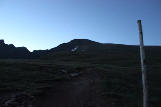
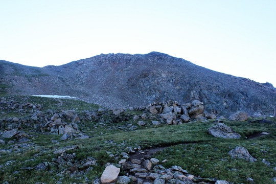
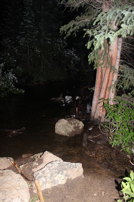
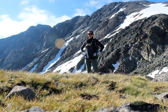
in the dark, so the only picture I have is this one from just above
treeline.

image

Much of this hike is above treeline.  I have pictures to share but that will have
to come later in the post as I took them on the way back down in the
sunlight.

As soon as I hit treeline the wind picked up and the
temperature dropped.  The wind was icy,
and not the 9-13mph winds as predicted, but 30mph+ gusts of cold air that took
forever to pass.  I was miserable, and
put on my snow gloves and hat.  Twice it
almost knocked me over and I had to brace myself on a rock.

All of my directions were great, but in the end not really
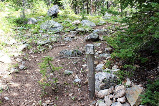
needed.  The trail was heavily marked
with new signs all the way to the boulder field.  I kept checking my GPS just in case, but I
was always right on route.

Until I hit the Boulder Field.  This is where things got iffy.  You see, I was hiking faster than I’d thought
I’d hike, and I’d made it there when it was still about an hour from
daylight.  The trail kind of ended and I wasn’t
sure what to do.  I knew I was supposed
to walk towards the Keyhole, but in the blackness I didn’t know where exactly
it was (or where I was in the boulder field for that matter).  By this point I’d passed everyone else on the
trail (I knew this because I couldn’t see any more flashlights shining in front
of me) and those behind me chose to sit and wait for daylight.  That was going to be over an hour away and I
didn’t want to wait that long.

I looked around for some cairns.  It took a good 5 minutes, but I found one!  Lucky me!
I hiked toward it, stopped, and looked for another one.  I kept doing this and one by one they led me
to the campsites in the Boulder Field.
Everyone was still asleep.  I
continued on, and soon I could see enough to tell I was at the base of the
Keyhole, so I just climbed up towards it and through to the other side.  That was much easier than I’d
anticipated.  And I’d done it in the
dark!

This is where the hike got REALLY FUN!!!

The wind died down a bit, but now I was surrounded in
clouds.  This ended up being a good thing
because it minimized my perceived exposure.
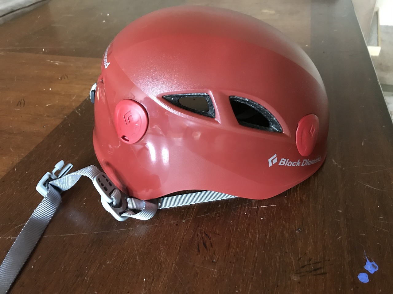
I put on my helmet, looked left, pointed my flashlight, and followed the
bullseyes.  This was surprisingly
simple.  I’m all about LNT, but I’m sure
these bullseyes have saved lives.

About 10 minutes after passing the Keyhole the sun had risen
enough for me to turn off my flashlight, which was a good thing because I
needed two hands to scramble on the rocks.
There were a few really tough places, but mainly because of my
height.  I’m about 5’4” but I really
could have used 2-4 inches of height to climb in many areas, but I found if I
stopped and looked around, sometimes I could find footholds behind me to help
me out.

The part of the hike that was stated as the most difficult, “the
trough” was actually where I found the most satisfaction:  I was so ready for this climb!  My upper body strength was way better than I’d
anticipated, I didn’t need to stop to catch my breath/take breaks, and I was
being creative and learning with my climbing.
And I was doing it!  Yes, there
were bullseyes to point the way, but I was doing this on my own, without
someone there to help me (and felt confident with my directions I could have
navigated through the trough).  I was
climbing a class 3!

The narrows weren’t scary or difficult, but I also had cloud
cover blocking the drop, so I’m a bit biased.

The Homestretch loomed before me and I took a deep
breath.  It looked just like the picture
I’d seen online, but being here in person I could visibly pick a line and just
go with it.  So I did.  I didn’t follow the bullseyes here, but the
route I felt most comfortable climbing.  I
just have to say, I was so lucky I had decent weather today.  In no way could I have done this if it had
been raining (look at pictures to come).
It would have been a waterslide the entire way down and I don’t mean
that in a good way!  I have great hiking
shoes, but rock climbing shoes would really have been helpful here.  When my shoes got wet they slipped on the
granite.

I kept putting one foot in front of the other, and before I
knew it, I was on the summit!  I was
immediately overwhelmed.  You know that
feeling you get when you’re so happy you want to cry and you start taking
really quick-deep breaths and your heartbeat races and your eyes start to tear
up?  That’s what happened to me (all
except the eyes tearing up part).  I was
overcome with emotion, and immediately on cloud 9!  I’d done it!
I’d actually done it!  For the
first time I’d climbed a class 3, and I’d done it all by myself, without
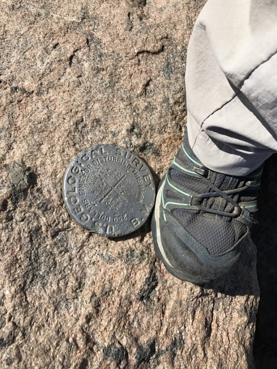
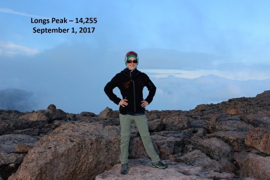
someone to follow or help me along. I was the first one to summit that day (it
was 7:05am) and had the summit all to myself!
This was fan-freaking-tastic!!!
image

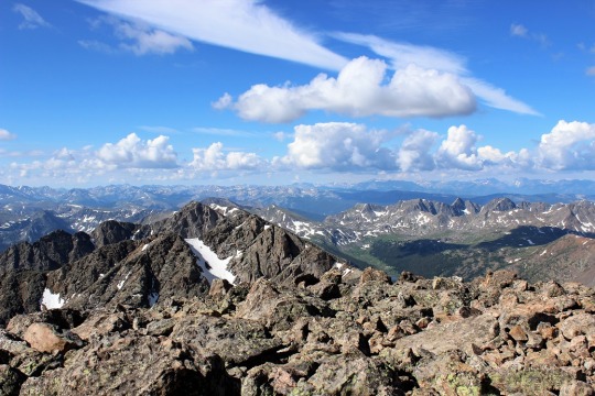
The only downside were the clouds:  they were moving in and out and obscuring the
view.  They were really cool to watch
though.

image

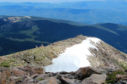
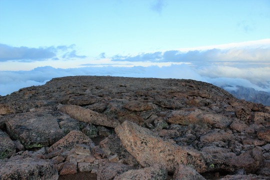
I was surprised at how flat the summit was.
image

I took some pictures and got to thinking:  I’d really wanted to do 2 summits today:  Long’s Peak, and an unranked peak referred to
as Southeast Longs that was really close to where I was now, but required a
different route.  It was my intention to
make this a loop, hiking up the Keyhole route and down the Loft route.  However, it’s not much fun to hike in the
dark.  All you see are the shadows cast
from your flashlight, and those can be a bit scary.  I wanted to see what I’d missed seeing on my
hike up.  I’d seriously enjoyed this
hike, but I didn’t have any pictures to show for the places I’d been because I’d
hiked them in the dark.  In my excitement
I decided I’d enjoyed this hike so much I’d come back and do Southeast Longs on
another trip, going up via the Loft route.
In other words, I was going back down the way I’d came.

I didn’t want to stay too long on the summit so I gathered
up my stuff and headed back down.  I knew
I’d only completed half of the climb.  I’d
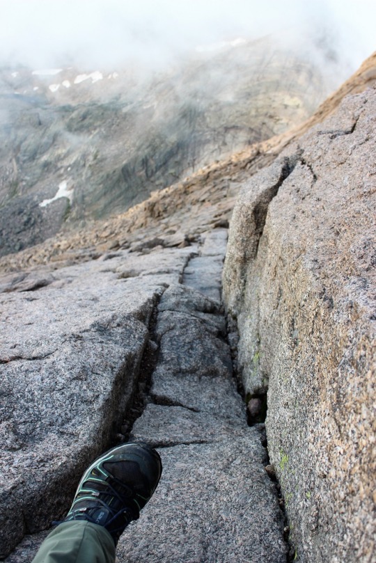
need hike down what I’d climbed up.  Here
are the pictures from the way down:
image

Here’s the homestretch

image
image

And the narrows

image

The exposure was blocked by clouds for parts of the route

image
image

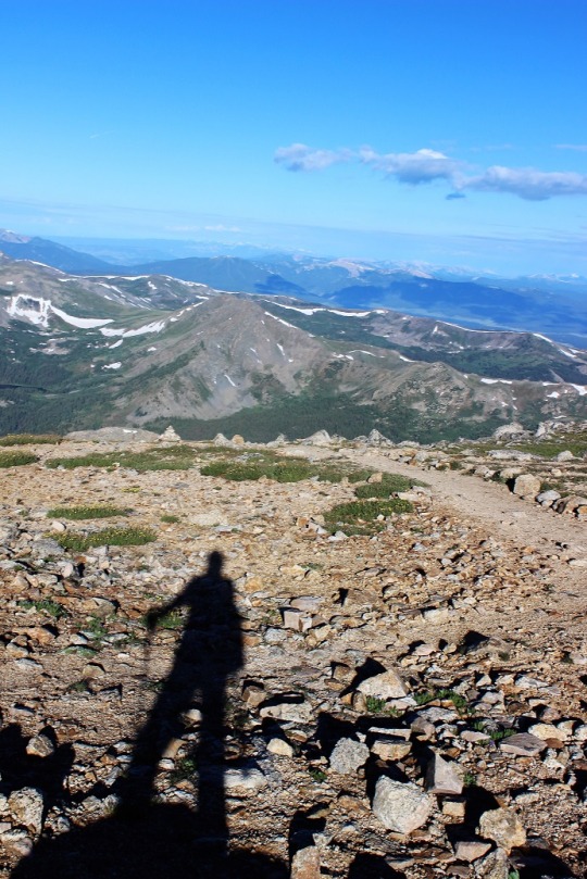
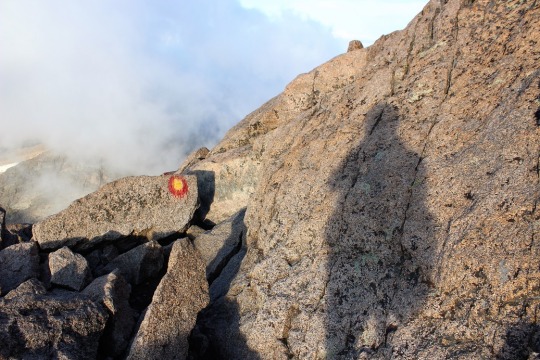
Shadowselfie (because I do that kind of thing)
image

I didn’t see anyone until I was on my way down the narrows,
and no one I saw had a helmet.  This
disappointed me.  It was really easy to
accidentally kick loose rocks onto climbers below.  It would suck to get hit in the head with one
of those rolling rocks!

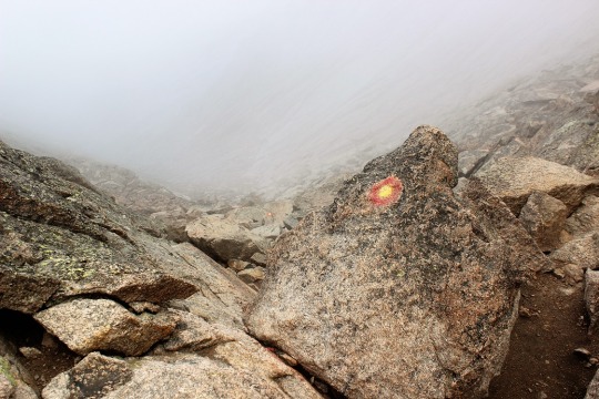
The trough was really exciting!
image
image
image
image

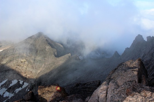
When I hit the Keyhole the sun came out through the clouds
image

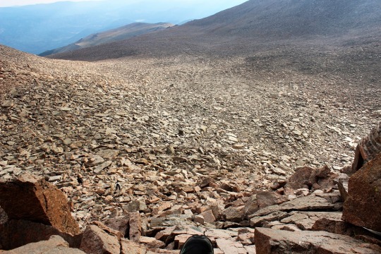
and I was able to see the Boulder Field.  Holy Smokes!
I’d hiked through that in the dark?
How did I EVER find my way?
image

As I climbed down I realized something that made me
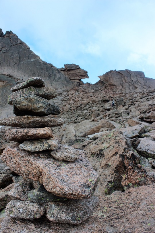
laugh:  There were cairns EVERYWHERE with
no particular purpose.  Throughout the
Boulder Field, dozens, if not hundreds of cairns had been placed in obscure
positions, as if someone just had a hobby of making cairns.  This morning I’d followed one cairn to the
next and eventually they led me to the Keyhole, but in reality they shouldn’t
have!  I must have been looking in the
direction I thought the Keyhole should be, and found cairns to validate my
theory.
image

I passed the tent sites in the Boulder Field, which are
really just large areas surrounded by rocks to break the wind.  There’s a bivy here too.

image

The Boulder Field seemed to go on forever.  I kept looking back to get a picture of Longs
Peak, but it was constantly surrounded with clouds.

image

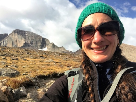
That is, until I was just about to the place where I’d lose
site of the mountain.  That’s when the
clouds lifted and Long’s Peak waved goodbye.
image

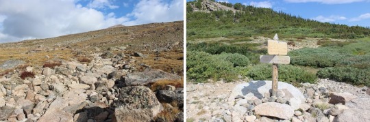
The trail from the Boulder Field back down was very well
maintained.
image

This is my absolute favorite 14er hike ever!  I felt my abilities perfectly matched the
mountain.  I was challenged just enough,
and in shape to handle the physical challenges.

If you’re reading this and wondering if you are personally
ready to hike this mountain, please don’t take my above narrative as making it
sound easy, because it wasn’t.  I’ve been
training years to complete this type of a hike.
I’m not trying to brag here, or compare myself to the amazingness of
trail runners (who are pretty much trail gods BTW, move over for them because
they are awesome!!!), but I’ve been running 5-10 miles a day with a minimum of
4000’ of elevation gain every day for the past 8 years.  Every day. No breaks (unless I’m hiking a
14er, and I’ve been known to hit the gym after one like Bierdstadt or Evans).  I also do an hour of Yoga a day, and this is
my 21st 14er this summer (33rd overall).  I did the 26 mile route on Pikes Peak 12
times last summer.  I’ve been training
both mentally and physically for years, and this hike fits me perfectly.  It may not be the best hike for you,
especially if you don’t have a lot of experience.  However, at this point, I want to hike more
class 3’s!

Oh, and for those of you keeping tally, I started at 3am,
summited at 7:05am, and was back down at my truck by 11am.  I asked the park rangers there how long they
thought the trail was (because I’ve seen it listed as anywhere from 14.5-16
miles) and they said 15 miles.  So I did
15 miles, with 5100’ elevation gain, in 8 hours.  This includes stopping to take lots and lots
of pictures and stopping to talk with everyone I passed on the way down to make
sure they were doing ok.
image

360 of the summit

Mt Antero – 14,269

Trailhead Conditions:

Turn left at this sign and drive for about 2.7 miles up a
4WD road.

This is definitely a 4WD trailhead, but I know that means different things to different people, so here are some pictures of the worst areas.  My Tundra did just fine.

If you can make it to the stream crossing you can make it all the way to 13,800’ as the trail gets easier from here.  I saw a bunch of Jeeps, 4Runners, Tacomas, a
GMC full size truck, and other modified vehicles there.   I parked here because I wanted the elevation gain /mileage.  After parking I crossed the stream and headed left.

This was not the hike I’d wanted to take today.  I had another one in mind but I had a 4pm meeting I needed to be at, so my plans changed. I needed something close, so now it was between Mt Princeton and Mt Antero.  The beta on the Mt Princeton trailhead said a week ago a 4Runner was stuck in the middle of the trailhead, with no further updates.  Not wanting to risk missing a hike due to a blocked trailhead I just went with Mt Antero.

As noted above, the trail was a 4WD trail and FUN in the dark!  I love watching the shadows play across the road as my high beams light them up. It was a challenge, but fun in my Tundra.

I arrived at 5am. After parking and crossing the stream I headed left and hiked for about 3 miles in the dark. It was pitch black.  I couldn’t see a thing when the dome light in my truck went off so I turned on my headlamp.

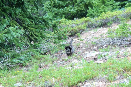
There are actually 4 grouse in this picture, a mama and three chicks about 3 or 4 her size.  I swear they’re in the picture!  They blend in very well.

This trail followed the 4WD trail just about the entire way.  About halfway up the switchbacks it started to get icy.  It looks like it snowed and rained yesterday, and that all turned to ice. That ice was SLIPPERY! I wished I’d brought crampons or microspikes or something as this ice slowed my speed.

I could tell I was the first person on the trail that day because there were no human footprints in the snow. I did see some goat tracks.  At about 12,800’ I saw a Tundra parked on the hillside.  See, my truck could have made it!

After this area the snow became more pronounced.

I had to really dig in my toes to keep from slipping.  At this point I saw new tracks on the snow.  The shoes were small and the stride was just about perfect with mine, so I assumed it was a female hiker.  It looked like this person was hiking in Keds?  What’s up with that?  Funny thing, I didn’t see any footprints that looked like the person had slipped.  There were also dog prints accompanying the shoe prints.

I continued up the hillside until I came to the end of the road. At this point I could see the rest of my climb, as well as a hiker climbing down from the summit. This is where the real hike begins.  The rest was just walking up a road.

I began to see pika prints!

Here’s a look at the last part of the ridge

At this point I met the hiker in front of me.  It was a young man (indeed wearing worn in Keds). The white Tundra I’d seen was his. He’d driven up the night before, slept in his truck, and started at 5am.  We wished each other well and I continued on.

I got to climb this!
It’s actually MUCH easier than it looks in this picture (this hike is an
easy class 2 in my opinion).

The only thing that made this hike difficult was the snow.  After I left the road I had trouble finding a trail (but I knew there was one).  Everything looked the same with a dusting of snow.

I couldn’t see where others had hiked before, so I used the
rocks to scramble to the top.

Here’s a look back at the climb to the summit

And a picture of the summit wind wall

Picture proof I summited. I had the entire summit to myself!

I only stayed a few minutes, then it was time to head back down.

The way back down was a bit more challenging than the way up for a few reasons.  It was easier to find the trail, but it was covered in snow.

The most challenging part however was the ice.  I was slipping and sliding the whole way back down.

It doesn’t look that bad, but most of it was difficult to see.  I had to keep looking at my feel to brace myself for the ice.  Every time I looked up at the scenery I ended up hitting a patch of ice and flying backwards onto my butt. Not cool.

This ice continued most of the way back down until treeline.  I really wished I’d have brought my crampons.  I could have hiked much faster back down if I’d had them.

I knew I was almost done with the hike when I hit this tiny
stream crossing

I saw my truck on the other side of the larger stream and breathed a sigh of relief all 4 of my tires were still inflated.  I love my truck, but I always worry!

I made it back down at exactly 10am, so it was a 5 hour hike
for me.  On the drive back down I encountered a lot of Jeeps and Off
Road Vehicles.  It was challenging navigating the 4WD road with more than one vehicle.  I moved when possible, but many times I just couldn’t go backwards.  It was really nice when other drivers backed up as well.

Oh, and I saw some of the leaves beginning to change.  Seems early, but it’s just a little, so I guess it’s ok.

This hike isn’t one I’d do again.  It was way too easy (despite the snow) and
not very pretty.  No flowers or scenery to look at, just a lot of 4WD tracks.
Such a shame!

Video from Summit

Castle Peak- 14,265 & Conundrum Peak – 14,060

For those of you considering doing the combo:

·Bring a helmet

·The info I had said there’s usually snow until
mid-July, but I hiked this August 18 and there was still quite a bit of snow.

·Ladies, this entire trail is above treeline andthere are no restrooms at the trailhead. Plan accordingly.

Trailhead info:

I drove my Tundra all the way to the 11,160’ trailhead that
intersects with Pearl Pass, but if you can make it that far you can make it to
12,800’ (as long as you don’t mind the elevation decreasing).  The road actually got EASIER after I’d parked but I didn’t know this until I’d started hiking.  The only dicey parts would be if you had a long vehicle and needed to turn around.
You wouldn’t be able to.  (pictures later).  Here’s a short video of the hardest part of the 4WD trail, just to give you a visual.  Note: The sounds are not rocks hitting the underside of my car truck but the stuff I have hanging from my mirror making noise.

https://youtu.be/oDtffi2Zzag 

OK, now on to the hike.

I woke up around 1:30am to make it to the trailhead by 6am.  I don’t live close, and I don’t like to sleep at trailheads if I can help it (I’m better rested this way).  This trailhead was not difficult to find, but it is 4WD.

Just after I crossed the creek I saw a group of 4 hikers.  I passed them, then I got to thinking about how they had almost 2 miles to go, and I had an empty truck.  There were storms predicted this afternoon, and I could save them at least an hour on their hike, valuable when storms are possible.  If I was hiking and a vehicle passed me I’d want to be picked up (Como anyone?).  I stopped, got out of my truck and asked if they’d like a ride to the upper trailhead.

I wasn’t sure they’d take the offer, mainly because some guys are big on making and bragging about mileage, but surprisingly they were thrilled with the opportunity.  This made me feel good.  Two sat in the cab and two sat in the bed of the truck.  They were all very nice.  We chatted for a bit as I drove up the 4WD trail about my truck (Tundra) and how well it was handling everything the road threw at it.  They were from Kansas City on a guys trip to hike a few 14ers.  Apparently they do this twice a year.  Cool!  

I parked at the Pearl Pass junction and we parted ways.  Here are some pictures of the rest of the 4WD trail.  

By the time I’d hiked to this junction at 12800’ I couldn’t see the hikers I’d picked up.  I never saw them again on the hike, but I hope they summited!  They had great attitudes!

Here the trail split in two and I went left to follow the trail to Castle Peak.  

I crossed a small stream and then came to the first snow of the hike.  It was easy to cross and hard-packed, if a little slippery (hey, it’s snow).

I took a shadowselfie with the snow because I do that kind of thing.  

From here I could see Conundrum Peak to my right.  You can hike this peak first, but I’d recommend hiking the higher peak first.  

As you can see from this wonderfully edited picture, the trail zig-zags with switchbacks up the left side, and then follows a straight path across the mountain to the right.

This is what you see when you reach the top of all that wonderful scree.

Here is where the fun begins!  There are several difficult class 2 scrambles
on this route.  I found several gullies that didn’t lead anywhere but up.  Just
know if you keep to the low right you should be able to find an easy
route.  If you’d like a challenge (and your party has helmets) by all means have fun going up the gullies.  I did. Snap, Crackle, Pop!

Here’s a look back at what you’ve accomplished.  

And a view of Conundrum Peak (notice it has 2 summits?  The “true” summit is to the north).

Picture proof I summited

I was the only one on the summit and couldn’t see anyone on the trail behind me.  I took several pictures of the mountains all around.
Maroon Bells anyone?

I started my decent and immediately found a feather.  I feel a Game of Thrones reference is valid here.  I’ve never actually watched the show, but I have seen memes about sending a raven, and since I was on Castle Peak and all….

Moving on.

The feather parallels Conundrum’s ridge.  I get to climb that!

But first I had to descend to the saddle, which included more fun scrambling.

And then going up another ridge.

I stopped to take a picture of the pond/small lake below.  Anyone know the name of this pond, or is it just considered drainage? I looked (quick search of my topo and Roach’s book) and couldn’t find any info.  

Here’s looking back at the ridge I just descended from Castle Peak.  Notice the red rock at the bottom right of the ridge?  That’s where the trail picks back up to head back down. It’s important…

Most of what I saw on these mountains consisted of rocks, but at least they were pretty to look at.

When I got to the top of the ridge there was a long flat section that was easy to cross.

Then there was a descent, and another ridge to climb.  This wasn’t difficult.

Once again I was the only one on the summit (but I could hear hikers and their scree-valanches snap-crackle-popping from across the ridge).  

Picture Proof I summited:

Now to head back down. I went back the way I’d hiked in, and at the saddle saw another hiker.  He was surprised I was on the mountain (he thought he’d be the first to summit).  

He didn’t know me, so he asked me how much faith I had in my abilities?  He said the trail drops off into a gulley and leads out to snow.  It’s full of scree and can get pretty dicey. I told him I had a helmet and gloves, but I’d think abot what he said and decide when I saw the trail.  I knew no one was in front of me, so I didn’t need to worry about hitting anyone below me with scree, but he’d be above me. 

I thought over what he’d said.  How much faith did I have in my abilities?  Well, I’d just summited my 20th unique 14er (and 31st overall).  I’m now about 1/3 of the way done with the 14er challenge.  I’ve climbed a few difficult class 2’s and I’ve hiked in the snow.  How would I know my abilities if I didn’t challenge them?  Looking down the mountain I could see where I needed to go.  Even when I lost the trail (which was going to happen because there wasn’t a trail) I knew which point I needed to hike towards.  

I decided to go for it. Here’s a picture of what it looked like when I started

I was pretty much on my butt with my feet sideways the entire time.  Rocks were falling at a rapid pace below me and I was sliding fast. Luckily near the snow the rocks were wet and more packed.  I was very thankful I was the only one on this part of the mountain.  Anyone below me would have been hit in the head several times.  This picture shows what’s below me and what I’ve just hiked. This is what it looked like after about 300 feet of hiking through
incredibly loose scree.  

I kept going and went directly down the gulley.  As promised, it turned to snow.  There was no good trail since I was the first one hiking today, but I could see where others had traversed in the past.  I sat down, put my feet in front of me, and took a deep breath.  And a picture.

Knowing what I had to do I started out slowly inching my way down, trying to get a feel for the density of the snow.  It was hard packed but soft due to the
sun.  I didn’t have an ice pick (hello, August?) so I tried to slow myself by directing my feet into a “V”.  That seemed to work pretty well.  I didn’t want to go too fast and slide out of control since I didn’t have anything to stop myself if that happened.  

Things started progressing pretty well and I got into it. This was fun!  I made a great trail all the way down the mountain.  When I stopped in front of the lake I thought to myself “This would make an awesome picture!” and reached for my cellphone.  

It wasn’t there!  It had fallen out of my pocket somewhere on that slide!  Drat!

So I did the only logical thing:  I hiked back up that mountain, praying inwardly the hiker I’d met and promised to wait for me didn’t start his descent until I was done.  As luck would have it, I’d lost my phone at the very top of the slide.
Wonderful. At least I was able to find it!  

On a positive note I got in extra elevation on this hike, and since I’d already made a pretty good chute to slide down the first time, the second slide was much easier than the first. And since I had my phone I decided to take a quick video of the fun

https://youtu.be/vAR0xVH-MPs 

I got up, knew I was supposed to hike left but hiked right
instead because it meant traversing less snow and I knew it led to the Castle
Trail back down.  

When I got past the lake I turned around to look at my route.  I’d started in the gulley (upper left) and slid down the entire mountainside. Twice.  Awesome!

And my butt was wet

Now to hike back out.
It was pretty simple, as I just followed my hike in.  Funny thing: I never did see that hiker who gave me the advice?  I didn’t see him go down the gulley or on the entire trail back.  And you could pretty much see everything on that trail for about a mile in either direction.  So he either spent a LOT of time on the summit, or took a different route down. Or we just missed each other somehow?
There were about 5 cars at the 4WD trailhead when I got back down to my
truck.  I remember a 4 Runner but forgot what the others were.

In any event, this was a great hike!  I was singing the entire way down, which
means it was fortunate I was the only one on the trail.  I always love new adventures!

Castle Peak Summit Video:

https://youtu.be/vAR0xVH-MPs 

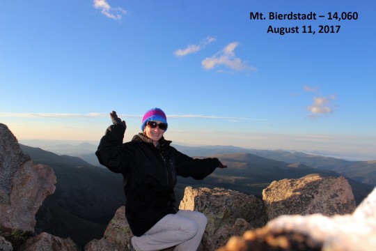
#18 – Mt. Bierdstadt – 14,060

image

I had several reasons for choosing to hike Mt Bierdstat
today, but the most pressing one was cost.
I’d hears a few weeks ago they were thinking about instilling (gasp!)
fees to hike this trail or park at the trailhead.  I’ve been burned by Culebra and most recently
the Barr Trail in Manitou Springs, so I wasn’t about to let this happen
again.  I know it’s just “talk”, but I’ve
seen it escalate rather quickly.  

I’d planned on saving this hike for next year as a winter
hike, but with the mention of fees I decided to do it asap.  Which I wanted to be last week but the
weather wasn’t cooperating.  So it was
today.  Also, I needed to be back by 2pm
for a survival skills campout I’m leading, so I needed an easy hike close to
home.  And I’m sick.  I’m not sick sick, but I’m not 100% (more
like 60%) so I need a hike that didn’t require me to be at my best.

Oh, and I’d heard a mama and baby moose had been spotted I the
area recently.

Mt Bierdstadt it was!
I arrived at the 2WD trailhead at 4:30am.  There were several other cars in the parking
lot but it could hold many more.  It was
super foggy out, but my directions said there’d be a bathroom in the west
parking lot and the trail would start from the east parking lot.  I’ve never been to this area before so I took
the directions at their word.  While
there is a bathroom in the west parking lot, and the trail does start in the
east parking lot, it connects to the west parking lot. I found this out after
hiking around for 15 minutes in the fog.
If there hadn’t been fog I’d have seen these signs easily:

So I started the trail at about 4:45am.  It was dark and there was low lying fog (can
you really call it low-lying fog over 10,000 feet?)  In any event, I couldn’t see in front of me
due to the fog, but I could look up and see stars.  I saw several shooting stars and enjoyed this
part of the hike.  Sorry, no pictures
here (they’ll come later) because it was just too dark.  

image

The boardwalks were slippery, I thought with ice, but as it
turns out it was the mud that made them slippery.

The trail was simple to follow.   It would be very difficult to get lost.  Very difficult.  There were posts every 200 feet or so, I’m
guessing for people snowshoeing.  

image

Once you got above treeline there was still a well maintained
trail and cairns.  I looked back and
could see several hiking parties behind me.

image

It was beautiful watching the sky light up in the morning.

image

I didn’t see anyone on the hike up except a man and his
dog.  His dog was never closer than 100
yards from him, and followed me on much of my hike.  It was a bit annoying, as the dog flushed out
every bird (marmot, pika, etc.) on the hike before I got there.  One of my favorite parts of hiking is seeing
wildlife.  Not with this dog.  When I passed the dog’s owner I asked him how
many more miles he thought his dog got in than he did.  He took my question seriously:  “I’m guessing 3 to 1”.  I’d guess double that.

image

Not much more to mention about this hike except it was
really simple.  Easy.  It felt TOO easy.  Just shy of 3000’ elevation gain in 3.5 miles
(7 round trip). I didn’t even break a sweat.

image

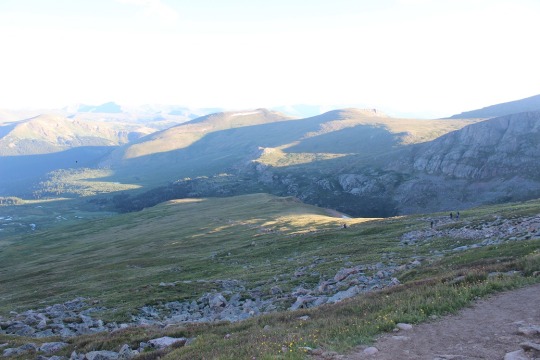
Here’s a view of the trail looking down from just before
some navigation is required in the rocks.

image

It got colder as I climbed higher and I needed to put on my
gloves and hat.  The wind didn’t help,
and when I summited at 6:15am I was freezing.
I arrived for an awesome sunrise over the mountains (I know the sun
rises earlier, but with the other mountains blocking the horizon I’d arrived at
the perfect time).  

image
image

I took a few pictures and was off the summit pretty
quickly.  

image
image

On my way down is when I started encountering people.  TONS of people.  Hundreds of people.  They looked like ants climbing in a single
file line.  It was insane!  I didn’t think this type of thing actually happened,
but here I was experiencing it.  

13

Shadowselfie, because that’s what I do

image

I saw no less than 3 men peeing alongside the trail.  In their defense the entire trail was above
treeeline, but hey, I can SEE you!  At
least walk the minimum 200 feet from the trail to do your business!

image

Now I can totally see why they want to impose fees.  It’s a Friday and the trail was PACKED.  If fees gets people not to hike this trail I’m
all for it (now that I’ve hiked it).
Most of the hikers were ill prepared.
The women were wearing more makeup this morning than I wear in a year,
and I stopped counting at 30 Padagonia hats (all new).  

The best part of my hike?
I saw a moose!  I’d been looking
for them, as I’d heard they were in the area, but this was no mama and
baby.  This was a really large bull
moose, about a quarter mile from the trail.
I could see him because I was hiking out, but no one in front of me
hiking towards me could see him.  I didn’t
point him out (he was too far away to do any harm, or even get a good picture)
but I was THRILLED I’d seen one!  

image
image

So, as I mentioned before, this was a really easy hike.  I arrived back at my truck at 8:15am and decided
to head to the gym to get in 5 more miles before camping this afternoon.  I did more elevation gain in that hour than
the entire hike up Mt. Bierdstadt.  It
wasn’t a bad hike, but the people ruined it.

image
image

There were a few streams to cross, and in the dark it was a
bit sketchy, but easy in the light of day.

image

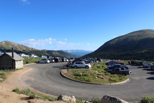
Here’s a photo of the West parking lot (there’s an East one
as well).  On Monday I’ll upload the
video that shows the cars going in either direction for a quarter mile, lining
the road.  

image

Here’s a video of the parking lot at the trailhead:

And a video from the summit:

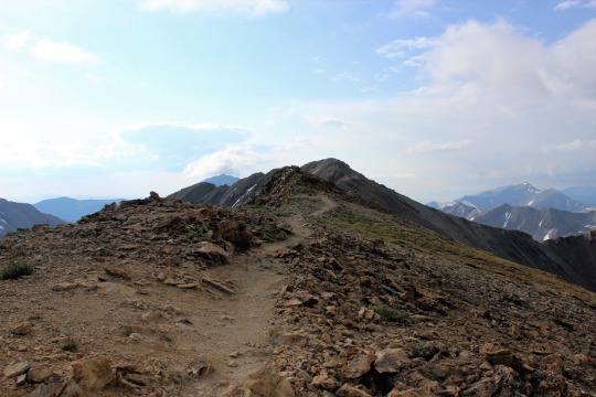
Missouri Mountain – 14,067

image

I was up late last night checking weather forecasts.  I’d put together 6 different itineraries for
6 different hikes, and unfortunately all of them had crummy weather.  I’m talking lots and lots of rain and
thunderstorms.  Some even called for
snow.  Hmph.  

So I went to Plan B and looked at some of the other hikes I’d
planned on saving for later.  I’d wanted
to hike Belford, Oxford, and Missouri in one day.  It’s a long hike and 3 summits, but not
something I didn’t think I could do.
When I checked out the weather for these peaks I was completely
surprised:  Just a 30% chance of rain
before noon, and then 70% chance thunderstorms.
That was by far the best forecast of any 14er I’d seen for that
day.  

The only problem?  I
was sore!  I’ve done 15 different 14ers
in the past month and a half, and the Mt. Harvard/Mt Columbia route I took
yesterday did me in!  I didn’t want to
attempt doing 3 more summits and stressing about time, etc.  Oh, and the storms were supposed to start
around noon.  I wasn’t confident I could
make all 3 summits before then starting at 5:30am.

But the weather was great!
I made the decision to just hike Missouri Mountain, and come back later
to hike the Belford/Oxford duo. It wasn’t something I really wanted to do (I
really wanted to do all 3 in one day), but at this point it was my best option
not to miss out on a hike.

When I woke up at 2am it was raining.   I
checked the weather forecast for Missouri Mountain again, and again it showed
the same data.  It was about 3 hours away
from my house, so I crossed my fingers the rain would stop.  

It didn’t.  Actually,
it got worse.  As I hit Woodland Park it
started to lightning and thundering and pouring rain.  I slowed my speed to avoid hitting a mama elk
and her calf, and continued on.  I still
had a good 80 miles to go.  It was more
storms in Florrisant and Hartsel and Buena Vista, but I kept driving.  Anything could happen, right?

As luck would have it the rain let up about 10 minutes from
the turnoff to the trailhead.  I could
now see stars in the night sky!  Things
were looking better!

I drove down the very easy 2WD dirt road looking for the
trailhead.  Long story short, it’s
actually 7.7 miles down the dirt road, and on the LEFT, not the right as stated
in my directions.  Oh, and there isn’t a
sign (I was told to look for the sign on the right… there isn’t one and the entrance
is on the left).  I made a note of this
for when I came back to hike Belford & Oxford.

There were 3 cars in the parking lot and a vault toilet,
which wasn’t too bad as far as trailhead restrooms are concerned (but not great
either).

I tried to pull up the GPX file of the hike, but I didn’t
have service, so while I could see the route, I couldn’t see where I was on
it.  Oh well, this didn’t look like a
hike that needed much route finding. (note, although I tried about every
quarter mile, I wasn’t able to load it until I made it to the summit, at which
point it wasn’t really necessary, but I thought it odd it followed me the
entire way down, even though I didn’t have service?  Maybe I need to load it before leaving home
so it can follow me when I arrive?)

I gathered my gear and was off, super excited to see signs
that indicated I was at the right trailhead (but confused a bit as to why
Missouri Mountain was on the map but didn’t show a trail?)

image

In any event I was off to cross the river and begin the
switchbacks up the hill.

image

I crossed several streams in the early morning light

image

And came across an a old cabin (woohoo!  This meant I was on the right trail).

image

Next I came up above treeline and crossed several more
streams along the gulch.

image

At about this point I had someone pass me.  Well, we talked for a bit and parted ways (he
was taking the Belford Route).  He
remembered me from last month hiking Mt Yale.

Want to know what I really loved about this route?  The SIGNS at the junctions!  

image

Here you can see Mt. Belford to the left, and Missouri
Mountain to the right

image

The trail was also pretty well maintained.

image

After the junction from Elkhead Pass/Missouri Mountain I
came to a boulder field. This was actually really easy to navigate as it had a
rock trail the entire way.  Cairns weren’t
needed (although there were a few, I’m guessing for the snow route).  

image

I made it to the saddle

image

And got to walk along the ridge to make it to the summit
(there were 2 false summits first).   I
always love walking along ridges!  This
one had a bit of exposure though…

image

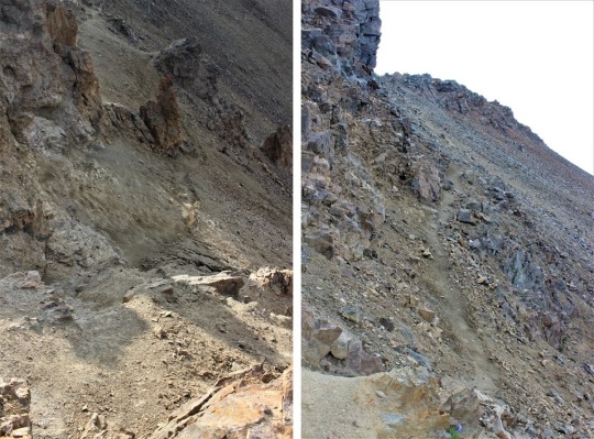
Just before the final push this hike became a (fun)
difficult class 2.  Basically there was a
lot of scree and the trail wasn’t there anymore, but you needed to climb down
then back up and over the rocks.  I loved this!  If this is “difficult class 2” I’m
in!

image
image

It was cold when I summited, and I could see clouds all
around.  It was obvious it was snowing on
some of the peaks, but where I was standing?
Lots of SUN!  I was surrounded by
sunlight!  This was the PERFECT mountain
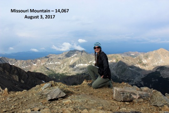
to climb today!  I smiled at my good luck
and took a summit photo.

image

I found the summit marker (it was hard to miss)

image

And too some scenery shots.
Here’s the way I approached along the ridge

image

And here’s a picture looking back at of most of the trail to
the summit

image

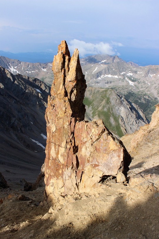
This rock formation is pretty cool, especially considering
it was right I the middle of the trail and I had to scuttle around it to
summit, and if I slipped I’d pretty much slide all the way down this hillside…

image

I took a shadow selfie of the amazing view and was on my way
back down the mountain.

image

As I walked along the ridge I saw three sets of hikers, the
first people I’d seen since leaving that guy at the junction.  

As I descended the trail I took a picture of Missouri
Mountain and all it’s scree (which I luckily avoided).  The summit is in the middle of this picture.

image

I took some pictures of the trail on the way back down

image

And some of the water.
There was a lot of water on this hike!

image

I saw a deer (the only wildlife besides marmots and pikas)

image

And lots of waterfalls! 

image

Here’s a daylight picture of the stream at the beginning of
the trail.

image

And the trailhead parking lot (easy 2WD lot)

image

Something I hadn’t noticed on the way up (because it was
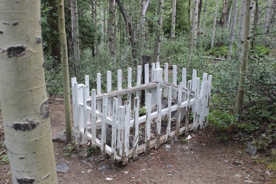
dark) there was a grave near the beginning of the trail.  It was from the 1870s, and the headstone
indicated a 1 month old baby had died of pneumonia and been buried there.  Side note:
the Vicksburg Cemetery is adjacent to this property.  No, not the one in Mississippi, but there is
a museum and a cemetery to check out at a later date.  

image

This hike was 10.5 miles, with 4500’ of elevation gain.  I did it at a leisurely pace, finishing in
5.5 hours.  This hike was easy to
navigate, fun, beautiful, and the perfect hike to take today!  I’d do this one again.  

View from the summit:

Mt Harvard – 14,420 & Mt Columbia – 14,073

If you’re reading this because you want to do the Mt. Harvard and Mt Columbia combination route my advice to you is to climb them both separately. Unless you have extensive mountaineering and route finding experience and are extremely comfortable not following a trail for miles through a gulley and over a ridge do not attempt this route.

Last week I got some good online advice from Bill.  He suggested I invest in a GPS unit to help me stay on my intended route.  Bill doesn’t know this about me, but I have quite a bit of mountaineering/outdoor survival experience.  I teach outdoor survival skills, and I’m pretty good with a map and compass, not to mention surviving if I do become lost.  (I’d like to note here I’ve never been ‘lost’.  Although I have ventured off route many times I always realize this quickly and find my way back quickly).

In any event, I’m always glad to take the advice of someone with more experience than me, so I went to work researching a GPX viewer (etc.) for use with navigation.  I’ve steered clear of GPS units because I like traditional route finding and feel they’re ‘cheating’, but I agree they are a useful tool.  I found one I liked and downloaded the route GPX files (all 4 of them for the area even though I wasn’t taking all the hikes).  The night before the hike I opened the route I was taking and it looked easy enough to use. I wanted to start getting familiar with the whole process before using it on more challenging hikes.

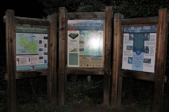
OK, now to the hike.  The dirt road to the trailhead was easy to navigate, and navigable by any 2WD up to the actual parking lot (which was riddled with medium sized rocks in the dirt road).  The road also indicated with several signs I was on the right route to the “Mt. Harvard and Mt. Columbia Trailhead”.  However, once I reached the trailhead there weren’t any actual signs indicating I was in the right place.  No maps, no signs saying which trailhead this was or which mountains were near.  I don’t know why I expect such information, but it would be useful, especially since alpine hikers arrive in the dark (possible Eagle Scout project(s)?).  Here are the photos of the information provided I took after I was done with my hike. 

See, nothing that indicated Mt. Harvard or Mt. Columbia.  Yes, this info should correlate to my maps, etc., but call me crazy if I like a bright sign saying I’m in the right place before venturing out into the wilderness in the dark. But I digress.

I got out my GPX file, opened it, and was confused.  It placed me about 7 miles from where the trail started.  I knew that couldn’t be right, so I figured I had the wrong file.  Nope.  I eventually figured out the file was wrong.  Even though I downloaded a file that was supposed to be the route from the trailhead up to Mt Harvard, the site had uploaded the wrong file.  No big deal however, as this file indicated the second half of my journey.  I’d just use it when the time came and in the meantime use the maps I’d printed out.  I crossed the stream in the dark and was on my way.

The trail was pretty straightforward and easy to follow for the first 5 miles or so.  Besides being quite muddy in places and the fact the few turn offs I saw didn’t have signage (and I assumed went to Mt Columbia) I was able to find my way easily. 

I crossed a few streams…

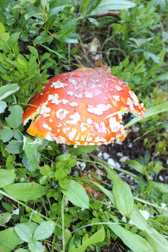
I saw some cool mushrooms…

And thistles…

I didn’t even pull out my map (but I had it in my pocket).  I knew as long as I stayed to the left but not so far left I ran into Bear Lake I’d be fine. 

Then I ran into Bear Lake.  Drat!  I must have turned off somewhere without seeing a turn-off. 

So I turned back the way I’d come and found what I hadn’t noticed in the sunlight and mistook for water drainage had actually been   a trail.  It was only about 20 yards out of my way, so no big deal.  Once again, no signs indicating trail forks or name

Here’s a picture of the beginning climb to Mt. Harvard.  As you can see it passes a large rocky area, but luckily it’s also a very well marked trail with lots of cairns.

Here’s a picture looking back at Bear Lake and the trail from about halfway up Mt. Harvard

Please note here THIS is the summit of Mt. Harvard.  It’s not hard to get to, but it was difficult to find as there were many false summits and this one isn’t market (there’s no way to know you’re actually at the summit).  I actually passed it and had to backtrack. 

I took a summit photo and got out my GPS to start on the second half of my route

Woohoo!  It showed I was exactly where I was supposed to be to make the trek from Mt. Harvard to Mt. Columbia.  Awesome!  Let’s see how this thing works…

Here’s a look at the trail I started following towards Mt. Columbia

And here’s a picture of Mt. Columbia from Mt. Harvard.  Notice where the trail ends?  That’s where it ENDS. Notice Mt. Columbia is about 1.25 miles in the distance

I had a bunch of directions for this hike, but none of them indicated the trail ended and didn’t start again.  None of them indicated the extent of the route finding I’d need.  But they did have a pretty accurate description of how to navigate this hike.  I followed the directions and was pretty sure I was on the right track. 

I pulled out the GPS and I was right where I was supposed to be.  I took out my pictures of the route and what was before me was what was in my pictures.  I took out my altimeter and was shocked to find I was at 9800 feet.  WHAT?!?!?  I was supposed to be at 12,800!  I know it had been a steep descent, but how did I lose 3000 feet in elevation that quickly (and how was I going to make it up?!?!?)  About 2 seconds later I did a mental check and realized if I was at 9800 feet I’d be below treeline (which I most definitely wasn’t) so something must have been off with the altimeter.  I took a deep breath and looked at the route again.

Then I looked at my watch. This was supposed to be a 15 mile hike.  It was already 11:15 in the afternoon, which meant I’d been hiking for over 6 hours.  I did some mental calculations and got a bit scared.  I wasn’t scared I was lost or that I couldn’t get to where I was going (I could see Mt. Columbia in the distance, so I knew where I was headed, and I was confident I could get back the way I’d come). I was worried this hike was going to take a lot longer than I’d anticipated due to the route finding necessary.  I had to pick my daughter up from band camp at 6pm, and at this rate I wasn’t going to make it in time.  But there was really nothing I could do:  Going back the way I’d come would take longer than going forward.  This was something I hadn’t anticipated but will take into account on future treks.

I had to pass every single section of snow to get to where I needed to be.  Since it’s August and it was in the middle of the day there was postholing involved, which wasn’t fun in the rocky areas.  I have several bruises on my shins to prove it.  And the icy areas were slippery.  Because of this (and the scrambling aspect in many areas) I put my camera in my backpack and focused instead on the task before me, so sorry, no pictures except this before shot

I stopped at the ridge about 600 feet in elevation below the summit for a break, but I needed to keep up the pace to get home, so I was on my way.  This part of the hike doesn’t have a trail either, but as long as you stay to the left of the ridge you’ll be fine.

Here’s a look back at Mt. Harvard (the way I’d come)

I summited and there was someone there to take my picture!

I didn’t stay long however.  I opened the GPX file indicating the rest of my route and headed down the mountain.  I could tell by my topo map this was going to be quite a bit of elevation loss in a very short distance.  I was hoping that didn’t mean scree.

It didn’t but it wasn’t fun either.  It was a lot of loose rock mixed with sand, and to combat this, switchbacks. 

No, it wasn’t fun trekking down this path, but it would have been worse hiking UP this trail.  Someone had a very small dog they were trying to hike with.  At this point they were carrying the pooch and heading back down, as the trail was cutting up his paws. 

Once I made it down Mt. Columbia the hike was easy, just long.  I was doing my best to hike as fast as I could to make it back to my truck and in time to pick up my daughter.  I had fun following the GPS the rest of the way but must confess it felt like cheating.  It was just too easy.  I’ll continue to use it though (safety first!).

I’m not averse to hiking the same trail twice (I did Pikes Peak 12 times last summer via the Barr Trail route) but I have no need to ever hike these two peaks again.  Mt. Harvard wasn’t too bad, but Mt. Columbia wasn’t fun at all, and I can only imagine hiking UP the way I hiked down would have been even worse. 

I made it to my truck and when I turned on directions home it said I’d be back by 6:30pm.  OH no!  I needed to pick up my daughter at 6pm.  So I hopped in the truck and did my best to drive as quickly/efficiently/safely as possible to get there on time.  I wasn’t being dangerous or erratic, but I was making good time.  I showed an estimated arrival time of 6:02pm when I got behind a line of drivers stuck behind someone going 45 in a 55 in an area too dangerous to pass.  Not cool!  Feel free to drive at whatever speed you feel comfortable, but if you’re that far below the speed limit and you have a trail of cars behind you PULL OVER.  PLEASE!  You may not be in a hurry, but others might be.  Me in this instance.  I saw my estimated arrival time of 6:02pm go to 6:30pm, mentally cried I’d lost all the time I’d made up, and then got a call from my daughter saying they’d been let out 30 minutes early just as the radio announced the roads were a mess and to expect long delays on side streets as well as the freeway.  Sigh.  So I had someone else take her home and felt like a terrible mom for not being home to do it myself.  Note to self:  don’t plan a long hike when you have somewhere to be later in the day, even if you think you have plenty of time. 

Notes: 

I saw several camp groups with middle schoolers hiking/backing the trails.  The ones towards the beginning of the trail were clean and had bright, happy faces.  I high-fived their counselors, knowing what was in store for them in the next few miles or so.  “Happy trails!”

Horses on trails:  I know they’re allowed, but for the last 4 miles of my hike I saw fresh horse poop every 10 yards or so that hadn’t been there that morning.  In fact, there hadn’t been ANY horse droppings on the trial at all when I’d hiked in the morning, and now it was covered in poop.  I’m not exaggerating:  It was all over the place!  I know horse owners can’t control this, but the sides of the trail were torn up too from horses walking too close to/over/on the sides.  Moss and small plants were strewn all over the trail in many areas.  This is something horse owners can control and is unacceptable.  I was saddened by the destruction this caused.

There was a father with his son (probably 8 years old) on the trail.  They were backpacking and hiking.  I saw them first at the summit of Harvard, and the kid seemed to be thoroughly loving the whole hiking experience.  Rock on dad!

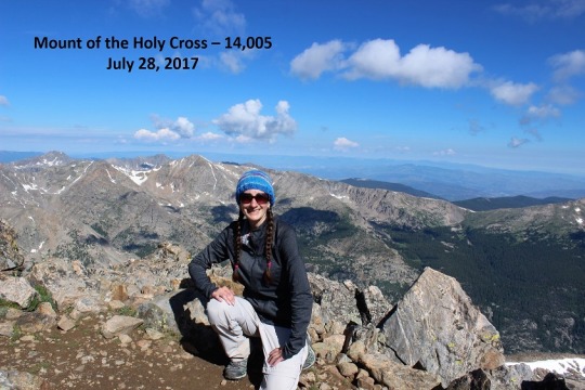
#14 Mount of the Holy Cross – 14,005

image

I picked Mount of the Holy Cross on purpose as my 14th
14er (Golden!).  I’d heard a lot of crazy
stuff about people getting lost, never being found, etc. so I wanted to kind of
turn my perception of this mountain around.
Oh, and the weather looked like it would cooperate in the morning, so I
went with it.  

This trailhead is 3.5 hours away from my house so I needed
to get up at 1:45am to make it to the trailhead with enough time to hike before
the weather set in (storms after 11am).
I know what you’re thinking:  Why
don’t I just drive to the trailhead the night before, park, and sleep in my
truck?  

Several reasons.  I
don’t sleep well at trailheads, so unless it’s 4 hours or more away I drive up
the morning I’m hiking.  I wake up at 4am
to go to work every morning, this was the end of my workweek, and the night
before this hike I had a meeting until 10pm.
I’d much rather get a good night’s sleep in my own bed, wake up warm and
to a fresh pot of coffee, and then head out to the trail.  The only downside is I’m a bit sleepy driving
(but not as much as if I’d gone the night before).  Coffee helps.

This trailhead (Half Moon Trailhead) was easy to find.  It was about 8 miles off a dirt road, but it
wasn’t too bad to drive.  I’m confident
just about any 2WD could have made it (but I put my Tundra in 4WD just to be
safe).  There were probably 20 other
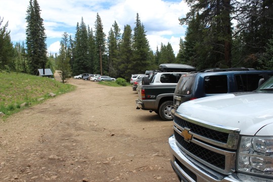
vehicles there when I arrived (picture at end of post).  There was a bathroom but the lock didn’t work
and it was out of toilet paper.  No
worries:  I always bring my own.  

I made it later than I’d have liked (6am), and the sun was
already beginning to rise.  I usually
start about half an hour before sunrise, so I needed to get a move on!  I got out my maps, checked the maps at the
trailhead, verified my route, and was on my way.  

image

The beginning of this hike was quite easy.  It gained a moderate amount of elevation on a
well-worn path. 

image

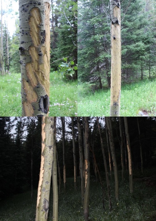
I saw several aspen trees that had been visited recently by
deer.

image

After about a mile and a half I came to Half Moon Pass.  At this point I was going to LOSE about 1000
feet in elevation, just to make it up again later.  This was ok with me though, because I’d
rather hike up than down.  I regularly
hike uphill (5-10 miles a day) so muscle memory would kick in.  

image

I ended up hiking down a lot farther than I thought I
would!  Then I rounded a corner, and
BAM!  There it was!  Mount of the Holy Cross.  My jaw dropped!  Woot!
I was going to hike this?!?
Awesome!!!  I was super excited
this was the mountain I was going to climb today!  This looked so freaking fun!

image

While not it’s namesake, I found a cross in the upper right of the mountain.  Though not quite as prominent as it would have been last month with
more snow.  

image

Cool fact:  When there’s
snow Mt Shavano has an Angel on its East slopes, and Mount of the Holy Cross
has a cross on its North Face.  Mt
Shavano is the furthest South in the Sawatch Mountain Range, and Mount of the
Holy Cross is the furthest North.  It’s
like an angel and cross hold the mountain range together.  

At this point the trail got really steep going down (which
meant extra work on the return trip), but I honestly didn’t care.  This hike was going to be amazing!

The downhill part stopped at Cross Creek.  I crossed Cross Creek and began regaining lost
elevation.  

image

I just have to say, this
trail is very well maintained.  It’s
almost impossible to get lost because it’s so manicured.  I’m not sure if this was done after all the “incidents”
or before, but either way it’s appreciated.
The only way I could see someone possibly getting turned around is at
these campsites, but they’d need to be missing the indicators of the hiker
would need to be extremely naive.  

image

Cairns.  There were
tons of cairns, just in case the pathway of rocks wasn’t enough (which I know
it wouldn’t be in the snow).  

image

Mount of
the Holy Cross is to the left, the path is to the right.

image

The only difficult part of this hike was the last quarter mile,
and it was only difficult because of the sun.
It just so happened the time of day I was hiking was right when the sun
was coming up over the mountain, casting an intense yellow glow directly in the
path I was supposed to take.  Sunglasses
did not help.  I just aimed for the top
and kept hiking upwards.  Most 14ers don’t
have much of a trail the last mile or so anyway.

image

I summited at 9:20am.
I looked around, noticed all routes down looked the same, and placed my
hiking pole in a position to indicate which way I’d come up so I knew which way
to head back down.  This is really the
only way I could see someone getting lost:
taking the wrong trail down from the summit.

I took a picture to prove I’d made it

image

One of the summit marker (I was so excited this summit had
one!)

image

And a few of the amazing views!  Check out those lakes!

image
image

Then I was off back down the mountain.  I looked for the ridge I’d followed coming up
and was glad I’d indicated with my hiking pole:  there were 3 “similar” ridges.

image
image

Hiking down was pretty easy.
I once again looked for ways to get lost and had a hard time finding
any.  In fact, I found a trail I assumed
went to the lakes but it wasn’t what anyone would take instead of the main
trail (it was overgrown and didn’t look used).
I also met a few guys searching for a 13er route, but that trail wasn’t
visible either (I’d looked on my way up too).

Oh, I saw a grouse…

image

And check out this tree:
how did that happen?!?!?

image

I made it back down to the trailhead at 12:45pm.  So I hiked 12 miles, 5600+ feet in elevation
gain in 7 hours.  Not a great time, but I
stopped to take a bunch of pictures, and I spent a lot of time at the summit,
so I’ll take it!

I’m pretty sure this is my new favorite 14er (besides Pikes
Peak:  That will always be my favorite as
I’ve hiked it 12+ times and it holds special memories).  I loved how it went uphill both ways, the
flowers were beautiful, and that mountain:
majestic!!!  This was much of the
trail:

image

Oh, and when I got back down the trailhead was FULL of
cars.  Full.  That line goes for about a quarter mile.  

image

Notes:

I saw no less than 8 Park Service Rangers (2 installing a sign
at the summit and 6 hiking to the lakes)

There were a lot of people on this hike, but it didn’t feel
crowded.

I saw a nun hiking (she had on a hiking skirt that went to
her ankles and a nuns scarf).  She didn’t
start until 11am.  I hope she made it
before the storms set in.  

I can see how someone could get lost below treeline because
you can’t see any of the mountains and lose sense of direction, however above
treeline the trail is pretty easy to follow.
Descending from the summit is the only plausible way to get turned
around.

I had another guy follow me today.  Once again nothing creepy, but there has to
be a better way?  Guys:  do not follow 5,10,15, or 20 yards behind a
woman hiking alone.  You may think you’re
respecting her space but it’s just creep!
Several times I either walked faster, stopped, or encouraged him to pass
me.  The time I asked him to pass he said
he was just about to stop for a blister, and when I went faster so did he (and
slower was the same).  I never felt
threatened (he seemed like a nice guy) but it’s creepy just the same.  I felt like his pacer.  Guys:
Stop and give some distance or pass us.

Video from the summit:

The Mt of the Holy Cross summit sticker can be bought here

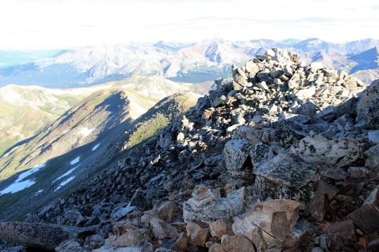
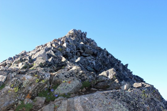
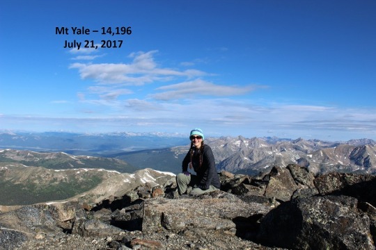
Mt Yale 14,196

image

My alarm clock went off at 2am this morning and I did NOT
want to get out of bed.  I was
exhausted!  After a very full week of
work, and Emily’s softball game that lasted until 10:30pm last night, I’d
gotten very little sleep this week (and only about 2.5 hours last night).  

Luckily my gear was all ready in the truck.  I turned on the coffee, thanked myself for
prepping it the night before, and started pumping myself up for the hike
today.  I’ve NEVER regretted a hike, no
matter how much I didn’t really want to go in the beginning.  I had set a goal of hiking all 14ers, and
there was no way I was going to achieve that goal if I was “too tired” on the
opportunities I actually had to hike.  By
the time I got in the car I’d changed my attitude.  Woohoo!
I actually had an opportunity to hike today!

I chose this hike because it was relatively close (2.5 hours
away) and moderate on length (9.5miles).
I wanted something a little challenging, but I had a 4:30pm appointment
for an oil change I needed to be back home for, so it couldn’t be too intense.

My directions were spot on, all except for the last little
bit.  I had two forms of directions (I do
this because the trailhead is often hard to find, on dirt/county roads with
multiple local and state names that differ).
One of my directions said to go 12 miles down this road, the other said
11.2 miles.  Well, at 11.2 miles I saw a
bear!  It startled me, and in fact at
first I didn’t realize it was a bear because it was way too small to be a
bear.  I thought maybe it was a very
large raccoon:  it was about 4 feet in
length, and I only saw the back ¾ of the animal as it finished crossing the
street and headed into the trees, but it didn’t have a tail.  It did have a rather brown, pear shaped
bottom though.  That’s when I realized it
was most likely a cub, and mama was probably close.    Since
I was the only one on this road I tried to stop to see it better but it was
hidden in the shadows.  Oh well, it was
still cool!

The trailhead ended up being 13 miles down the road, which
may not seem like a big deal, but it really is when you’re in the dark looking
for a trailhead that might be hidden.  In
any event, I found the trailhead full of cars.
Several had people getting ready for the hike today.  I gathered my gear, turned on my headlamp,
and asked two ladies getting ready in their vehicle if this was the correct
trailhead (there weren’t any signs).  We
were all here for the same hike so I thanked them and was on my way.

I got out my directions and they were pretty correct.  Let me emphasize here I was hiking in the
dark.  There wasn’t a moon to guide me
today, and I’d just seen that bear a mile down the road.  I knew there were a lot of other people who
planned to hike this trail today (I could see them in the parking lot) but I
didn’t know if anyone else was on the trail.
I’m not a fan of hiking in the dark without a moon, but on a day like
today it was necessary.

I only strayed from the trail once.  It was at this crossing.  I thought NO WAY am I supposed to cross
this?  It was completely dark at this
point, and this didn’t look like the right way (across the river).  So I followed a trail to the left for about ¼
of a mile that looked like a good trail but ended up being just a way for
people to look for another crossing.  It
didn’t lead anywhere, and when I discovered this I backtracked and crossed the
river.  In the dark.  Balancing on the wet logs and shuffling
across.  I had no idea how deep the water
actually was because my pole didn’t reach to the bottom.  But I made it and didn’t fall!  Woohoo!
I’d have to do this 3 more times and 3 more crossings (but only one more
was in the dark).

image

Just after the sun came up I stopped for a bit, and at this
point a couple hiking caught up to me. I wish I’d never have stopped because we
stayed 10 yards apart from each other for most of the hike up (and down).  I tried to either go faster or stop to get
distance, but they always mirrored what I did.
It was not fun listening to their conversations.  When I hike I like to hear nature… oh well!

Most of this hike was in the shadow of the mountain, which I
was happy with because otherwise it would have been hot!  Luckily there was no wind so it was a
comfortable hike.  Look at what I get to scramble!

image

I needed my directions for the first 2 miles, but after that
the trail was a piece of cake to follow.
Especially the ending ½ mile that was full of cairns.  FULL OF CAIRNS.  

image

That’s ok though, because it was pretty rocky.  

image

I’d started hiking at 5am and summited at 8am.  Not bad!
4.25 miles in 3 hours, uphill, with 4300’ in elevation gain!

image

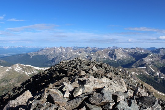
The view was absolutely beautiful!  You could see over 30 14ers from the summit.

image
image
image

When I got there 3 camp counselors from the Salida Boy Scout
Camp were there, hiking on their day off.
We chatted for a bit about scouts, and then I was on my way back
down.  

image

The only downside to the way back down was that couple who
followed me back down.  At one point I
saw this mushroom, decided to stop to take pictures, and they passed me and I
never saw them again.  It was
wonderful!  

image

I crossed the streams again a few times on the way back
down, this time in the daylight.

image
image

There were a lot of people hiking up as I was hiking down,
but for once everyone seemed prepared and started at a reasonable time.  

I made it back to my truck at 10:45am and was headed
home.  Just under 6 hours for a 9.5 mile
14er.  

View from the summit:

La Plata Peak – 14,336

image

I was supposed to have a meeting at 8am today, but at around
10pm last night the meeting was cancelled, so I got out my spreadsheet, checked
weather, and thought La Plata Peak would be a good idea for a 14er
tomorrow.  

I got up at 2am to head for the trailhead.  Rebecca was in the shower (she takes 2am
showers because she has an off schedule), so I was able to say goodbye to her
before I left.  We only seem to catch
each other coming and going these days…

The drive there was uneventful, except for 3 cars all
hauling boats on HWY 24.  It looked like
they were travelling together.  It was
3am and I couldn’t pass them because they were driving too close together and
they were all doing 40 in a 60.  When I
was finally able to pass them because they veered right they chose that time to
turn left, and I had to honk really loud and probably looked like a jerk, but
come on guys!!!  We were the only ones on
the road!  Pull over and let the only
other car on the entire highway at 3am pass so she can go the speed limit!

The trailhead parking lot was super easy to find.  It was well marked and several other cars
were already there.  I forgot my high beams
were on and probably made a few car campers upset as they were getting ready to
hike.  Sorry!  I turned them off as soon as I realized the
problem.  

It was almost 5am and I’d gotten there half an hour earlier
than I’d expected.  Very cool!  So I got out my stuff, folded my map and directions
and put them in my pocket, and headed out on the trail.  My directions said to walk down the dirt
road, cross a bridge, and the trail would be ¼ of a mile down on the left.  It was really dark as I was hiking.  I had my headlamp on and swayed it from side
to side, looking for the trailhead.  

I passed a couple hiking towards me.  I figured they’d been out for a moonlight
hike to the peak and were on their way back down.  I apologized for shining my flashlight in
their eyes (I’d thought they were animals at first) and I kept hiking.  And hiking, and hiking.  I’d gone much farther than the ¼ mile, so I
got out my directions. Nope, I was on the right path.  I just had to keep going and look for that
bridge and then the trailhead would be ¼ of a mile on the left.  I was following the river however, and I figured this was La Plata Peak ahead of me?

image

So I kept on hiking for about 2 miles and eventually got to
thinking how there was virtually no elevation gain on this hike so far, and it
was supposed to have 4500 feet in elevation gain in 4.75 miles.  If I’d already been 2 miles without much
elevation gain this didn’t make sense.
All I was passing were car campers, and I kept thinking I should have
been allowed to drive on this road to the trailhead.  That thought made me turn back.

About 1.5 miles on the way back I ran in to a guy who was
hiking towards me.  I asked him where he
was headed, and he was going the same place I was.  He didn’t have a map (what is it about hikers
not carrying maps???)  but his directions
were the same as mine.  We talked a bit
and he decided I was probably right and walked the last half mile back with
me.  It was a bit awkward to hike and
talk with someone you didn’t know, but we made it work.  And yes, I’d missed the trailhead.  It was hidden behind some trees, but very
visible to me now in the light of day.
In the dark there’s no way I’d have seen it.  I did remember seeing the ReMax sign though,
probably because it glowed in my flashlight.
It caught my attention and probably diverted my attention from the
trailhead.  Oh well.  I looked at my watch.  I’d lost an hour and 15 minutes of time and
gained 4 miles on this trip.  Drat!

image

In any event, I said a quick goodbye to my current hiking
partner (I now had 4 miles and over an hour of hiking to make up for) and was
on my way.  He thanked me, but I never
saw him again on the way up or the way down.
I’m pretty sure he got lost by accidentally taking another trail.  

At this point I was only about 50% sure I was on the right
trail.  You see, I’d found a trailhead,
but it didn’t indicate what trail it was for. All the sign said was pick up
after yourself, put fires completely out, etc.
So I could have been on just
about any trail.  And my directions didn’t
match up.  Several small details were
wrong (I was supposed to hike 100 yards before seeing a turnoff I saw in 10
feet, and it took much longer than anticipated to find the gulch), but I kept
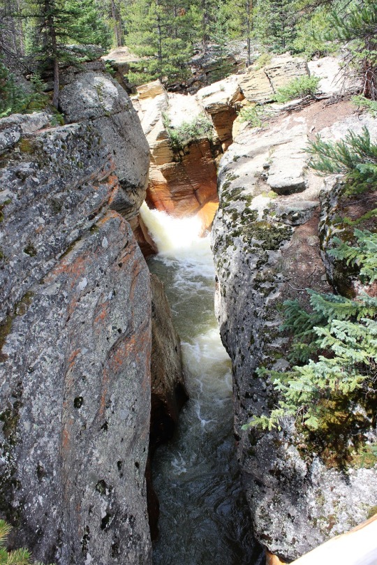
hiking anyway because several details were right (crossing the bridge, then the
makeshift log bridge, then following the gorge).  

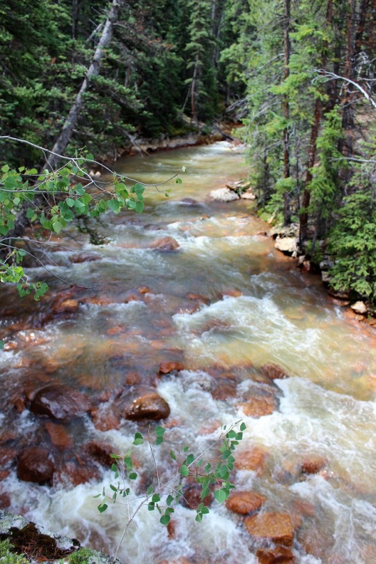
image

I’m stubborn this way and it’s usually one of
the detriments to my hiking:  I keep
thinking what I’m looking for will be right around the corner, and since I hike
fast I can get far off my intended goal quickly.  Like I had this morning.  

image

In any event, after about 2 miles of hiking I pulled out my
altimeter and verified I was indeed on the correct path.  I hadn’t done this before because I didn’t
want to admit the directions could have been wrong.  In my mind I’d already done 6 miles and if I
was wrong at this point I’d just see where the trail went and try again another
day.  

image

But I was right.
Woohoo!  So I kept on hiking.  

I was absolutely positive I was on the right trail when I
hit these switchbacks (the picture is from the way back down).  As far as I’m concerned, “switchback” is a 4
letter word.  They’re dreadful and go on
forever without much elevation gain.
These switchbacks lasted well over a mile and seemed to go straight up
the gully, turning every 20 feet or so.
My calves were screaming when I finally reached the ridge.  On a positive note I saw several chipmunks
and pikas.  

image

Oh, and most of the trail was in the shade, which was great
because it would have been miserable to hike in the heat  of the sun!

image

I kept looking back to see if my lost hiking buddy had
caught up, but never saw him.  At this
point I figured he’d taken the wrong trail (there were several trail junctions,
but my directions said to always veer right.
I’m not sure he had that information).

At the top of the switchbacks I reached a ridge and could
see the summit (covered in a low lying cloud).

image

I was now on the ridge, and it was now I started passing
other hikers.  I passed two ladies in
their 20s hiking in shorts (and freezing!) and the couple I’d passed earlier
this morning headed towards me on the trail.
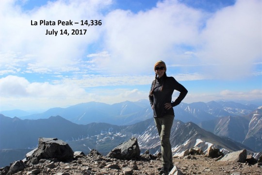
We chatted for a bit (she worked last summer in Salida as a trail guide,
but this was his first 14er) and I took a picture with La Plata Peak in the
background.  They offered to take it for
me, but I’m getting pretty good at this automatic portrait thing (I think?).
image

From the ridge it’s a 1.25 mile hike to the summit, much of
which isn’t marked by a trail, but that’s something I’ve gotten used to.  I’m pretty good now at just pointing towards
my goal and hiking to meet it, even though large rocks and scree.

I didn’t see anyone else on the trail until I reached the
summit, which is a complete win as far as I’m concerned!  For a Friday this peak was deserted! 

image

There was one guy there that looked to be
about my age.  We had a great chat about
14ers (he’s from Denver) and summits that require weekends.  He said his friend has made the same mistake
I’d made (missing the trailhead) so he was able to avoid it because he knew
what to look for.  While we were chatting
an older man summited as well from a different route.  He asked to borrow my sunscreen (absolutely!)
and I was offered whatever was in flask of the guy I was talking to.  I told him he carried it up so it was all
his, let them know I had a drink waiting for back at the trailhead in my truck,
and was off down the mountain.  

I made it about ¼ of a mile before I realized the guy I’d
been talking to was behind me heading down as well.  He stayed about 20 yards behind me the entire
way down, which was awkward.  Not in a
creepy way (we’d gotten along well) but in a “I have to pee and I can’t because
he’s too close” kind of way.  I’m sure
the ladies can appreciate this.  5 hours
above treeline is a lot when you need coffee to get you going in the morning
and you bring water to drink on the hike…

I’d rather he just hiked WITH me and we talked than he kept
his distance.  We were about 20 feet
apart by the end of the hike, and I’m not sure if that was intentional or
not?  I hike really fast and don’t take
breaks, so he had to book it to keep up with me.  Either way we didn’t talk again, even though
we were parked close to each other at the trailhead parking lot.  

I took a few pictures of the correct bridge (there were
several, but this one was kind of cool).

image
image
image

Oh, and as I reached the trailhead there was a girl there
walking back towards the trailhead.  I
told her “If you’re looking for La Plata, this is it, even though it doesn’t look
like it is.”  She was very
appreciative.  It seems she’d hiked 6 or
7 miles further than I had in the wrong direction and had just made it
back.  She indicated she’d try the peak
tomorrow and we both agreed they need better signage/directions.  

Total (correct) hiking time was 6:15am-11:30am, so just over
5 hours for a 9.5 mile, 4500’ elevation hike (or just over 6 hours for a 13.5
mile hike if you take into account my going the wrong way)

Here’s the view from the summit: