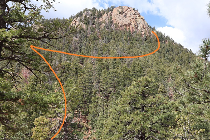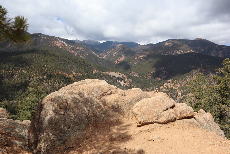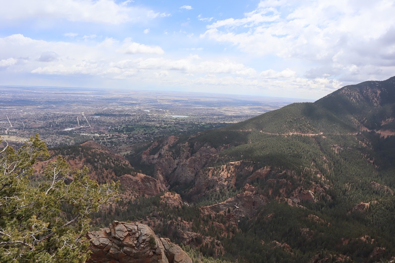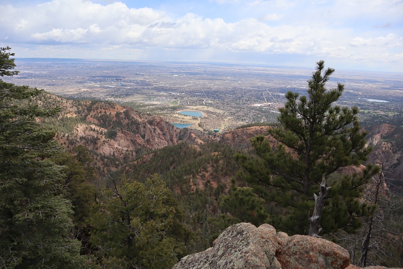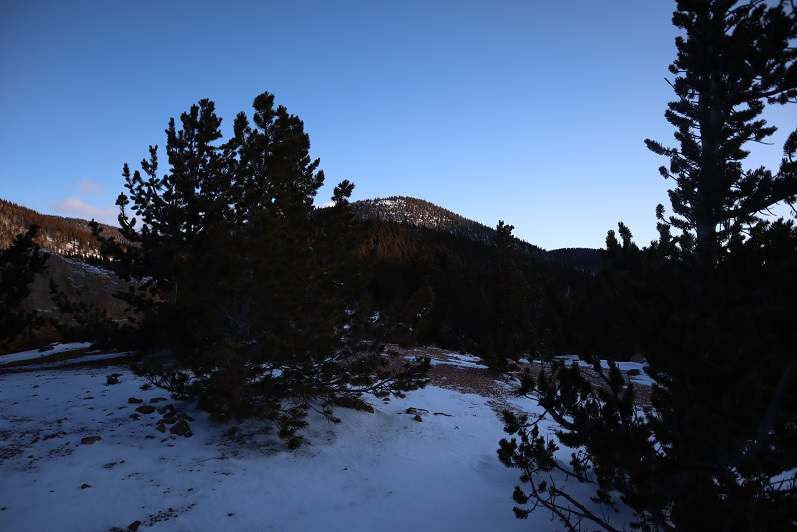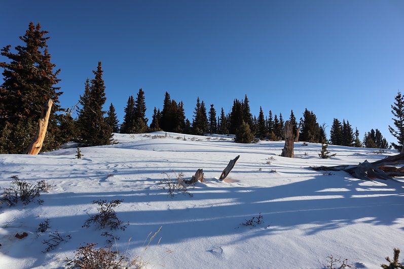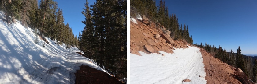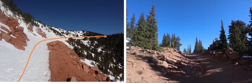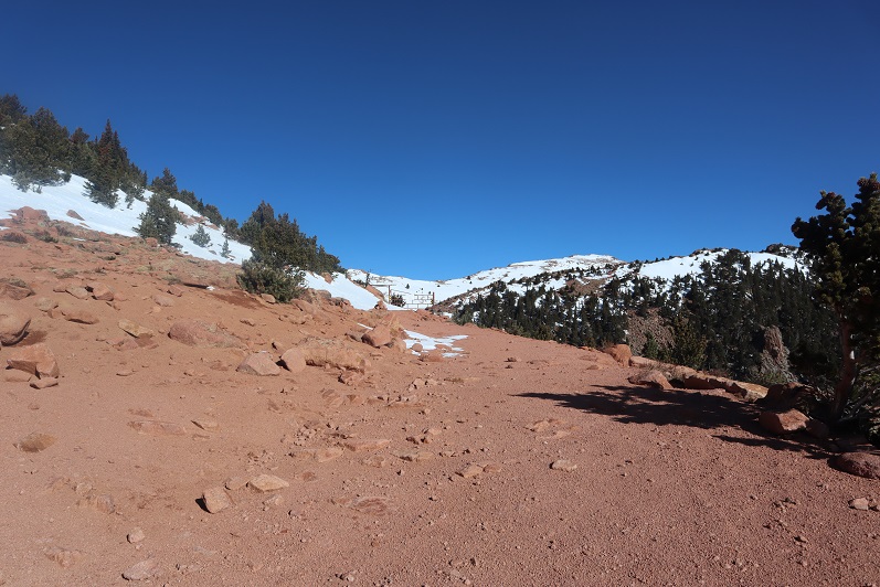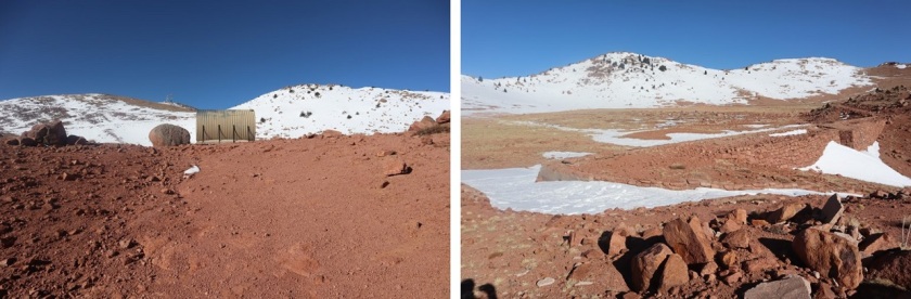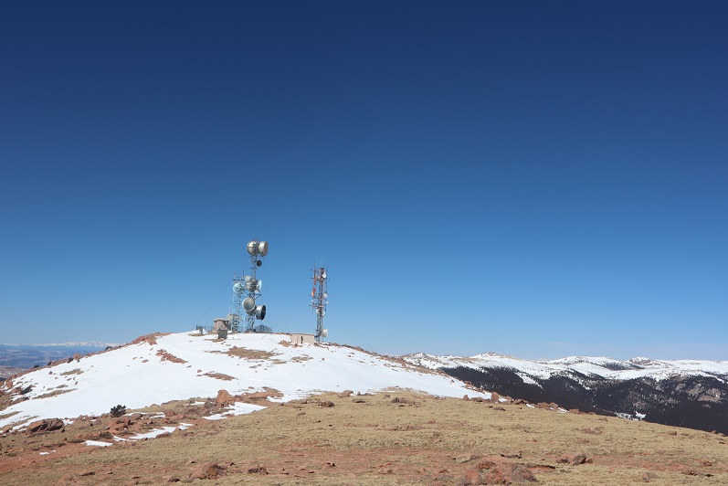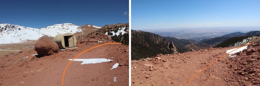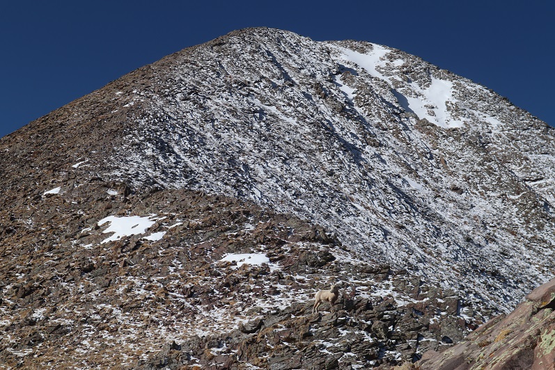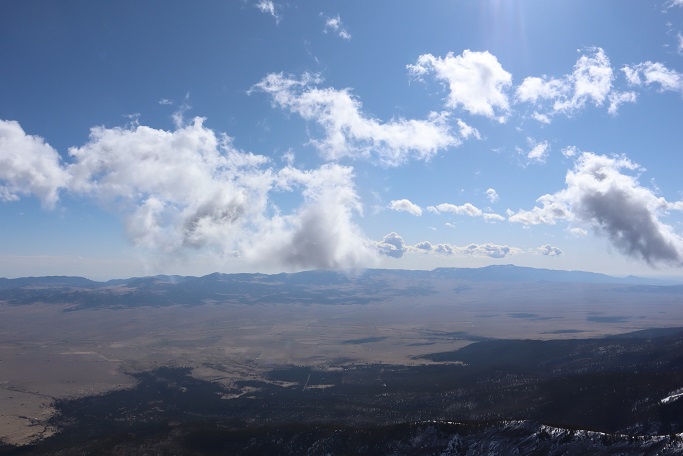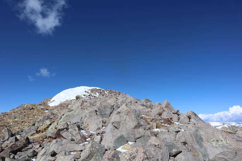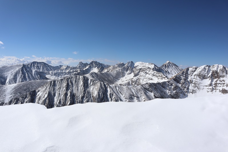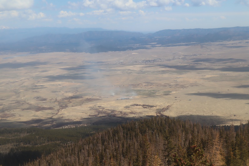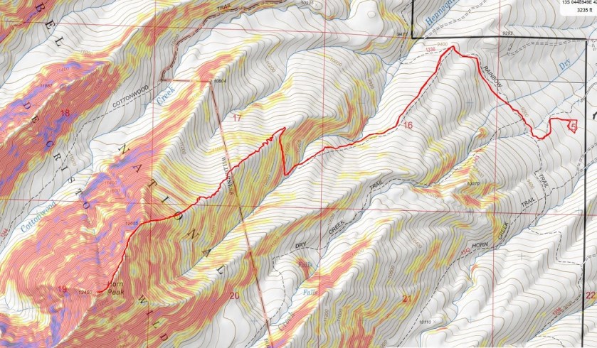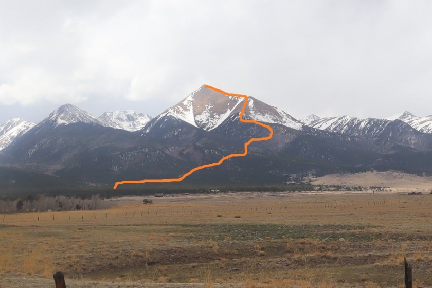
Cottonwood Peak A – 13,597

1

RT Length: 11.5 miles
Elevation Gain: 5110’

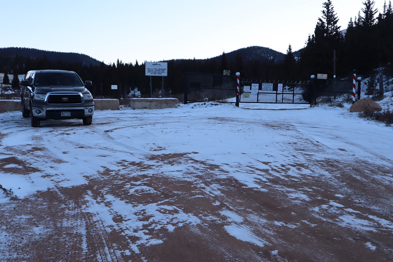
I got a bit of a later start on this one that I’d intended, as when my alarm went off at 12:30am I hit snooze and slept another hour or so (I’d already summited 7 peaks in the past 2 days and was a little tired). I made it to the Hot Springs Trailhead after first being led by GPS to the Hot Springs (which the sign indicated clothing optional: it was also closed due to Covid-19 fears).

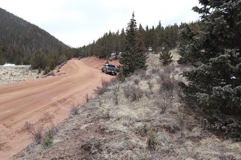
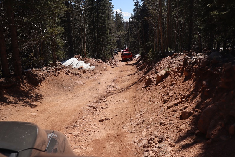
The drive to the trailhead is easy 2WD on a dirt road.

2

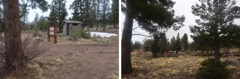
There was 1 other vehicle parked there when I got there, which I thought was odd. It was a newer VW and didn’t look like it had been there overnight. I tried to be quiet in case someone was sleeping in their car but thought to myself “Great! Someone else is trenching the trail for me!”

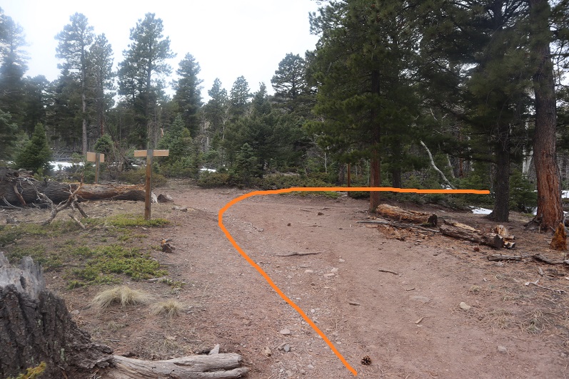
The trail is a loop, and I was surprised to find out it was actually an established trail. The morning was getting better and better!
3

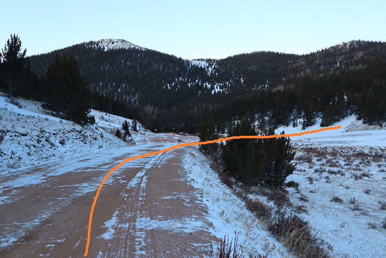
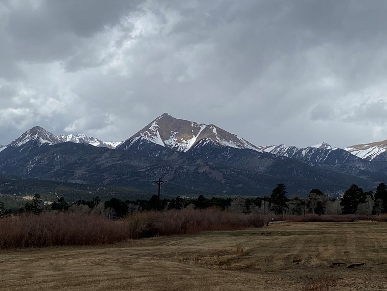
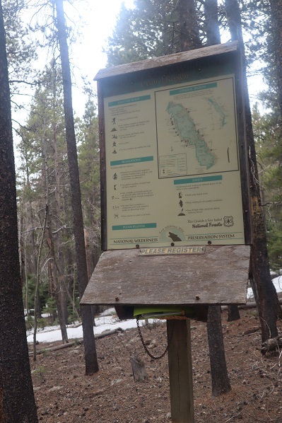
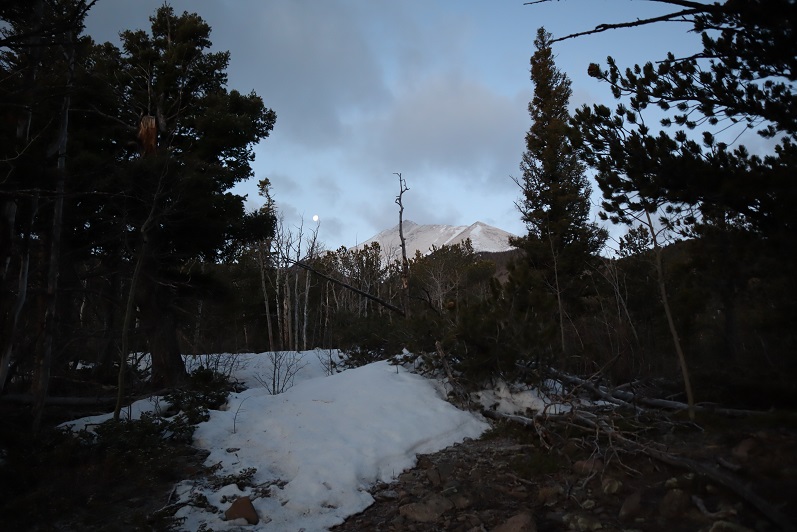
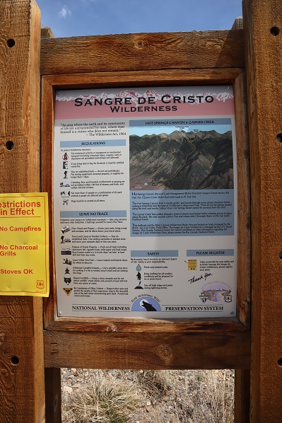
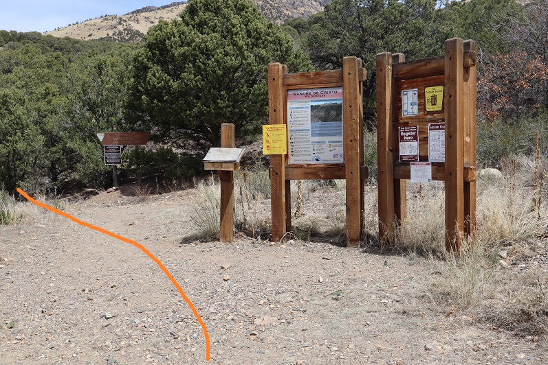
Just as an FYI, you cannot see the peak from the parking lot, but it was dark so that didn’t matter anyway. I signed the trail register (which was difficult due to the cold temperatures and ballpoint pen available). I wanted to summit Cottonwood Peak first, so I took the trail clockwise, starting to the left
4

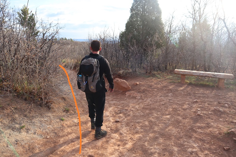
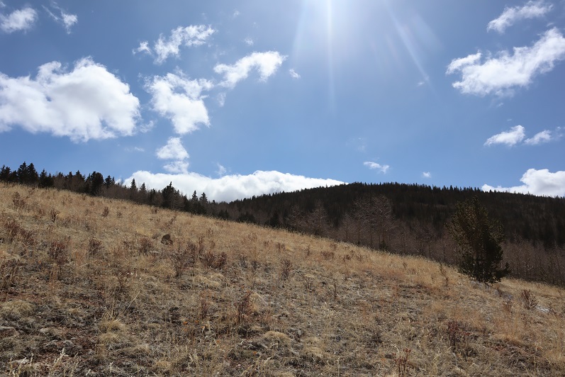
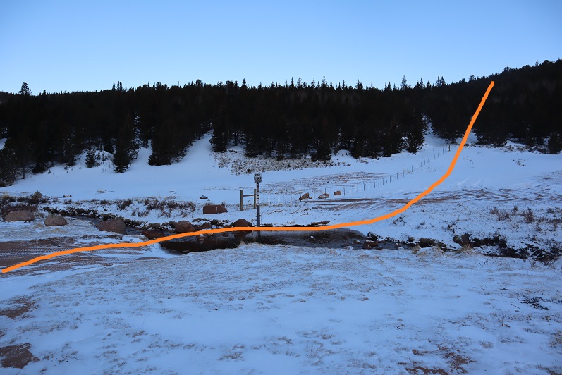
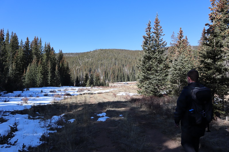
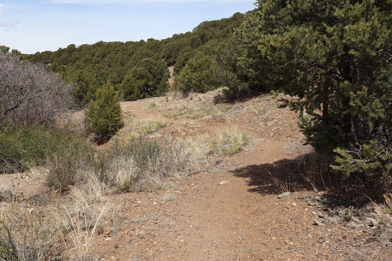
The trail starts off wandering through chaparral
5

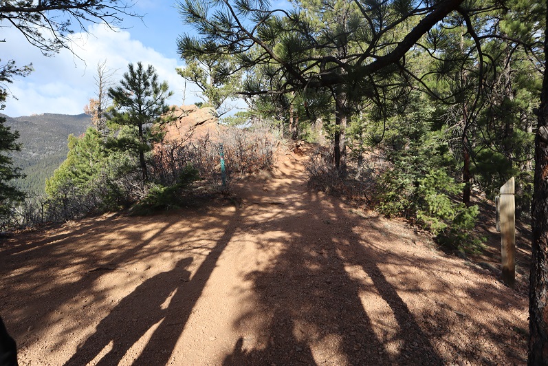
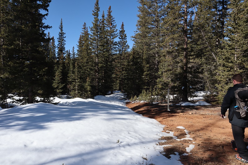
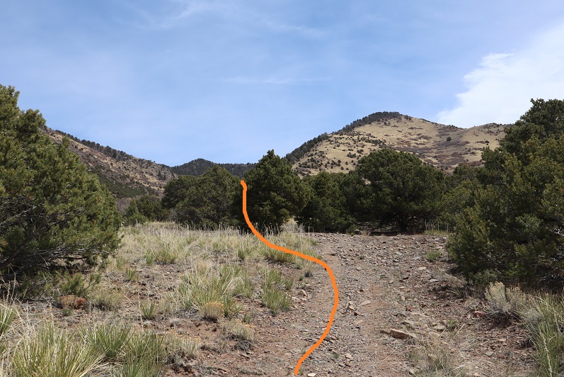
Here the trail was clearly marked and easy to follow.
6

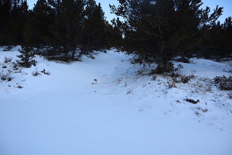
I rustled a sleeping ptarmigan as the trail switched to scrub oak

7

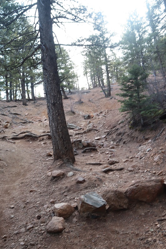
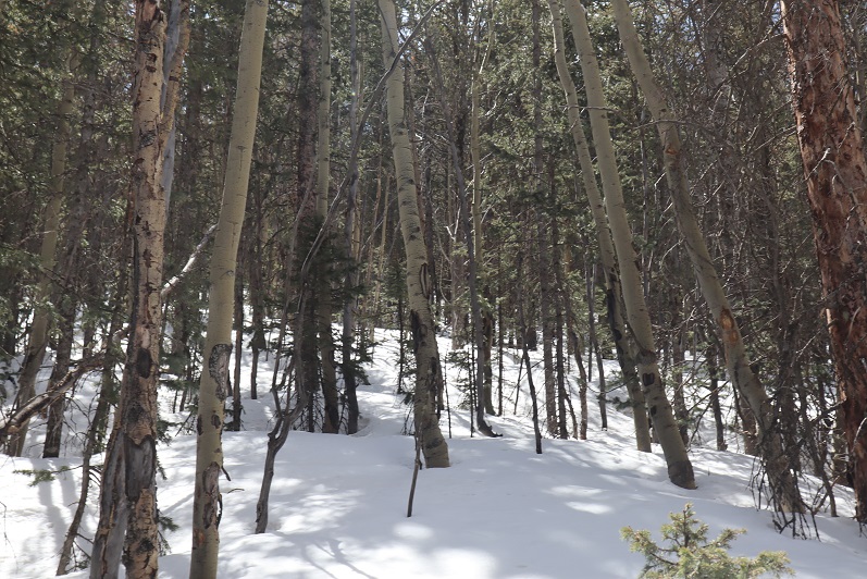
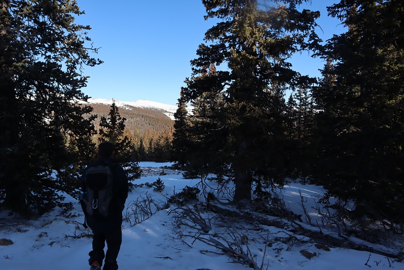
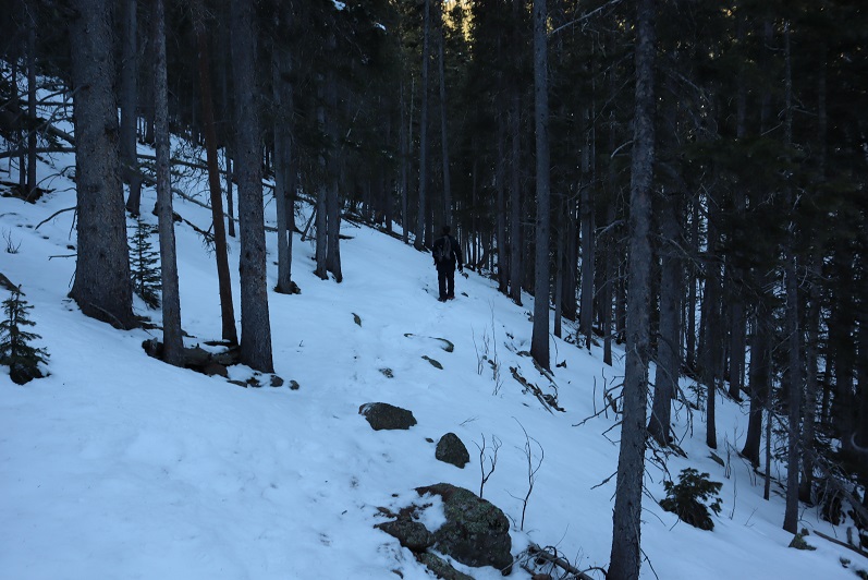
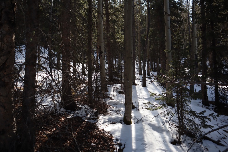
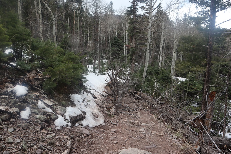
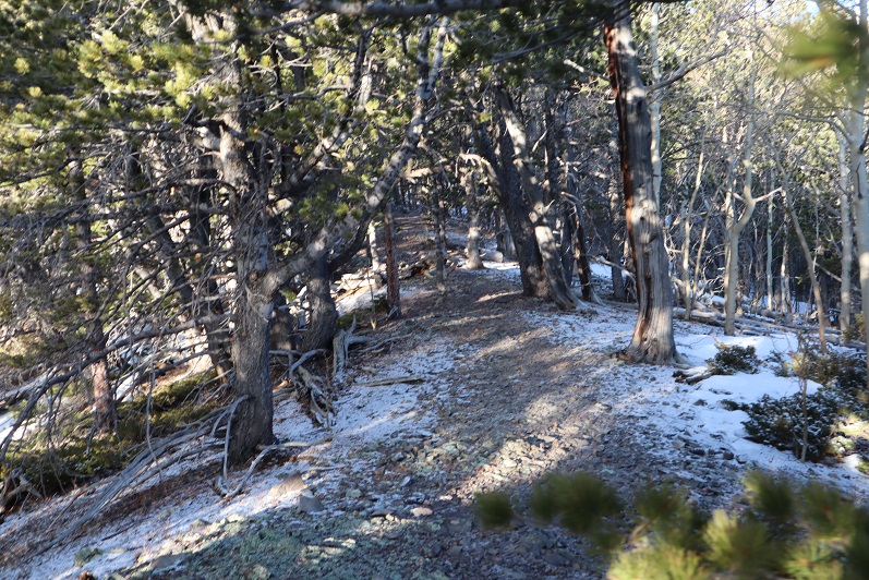
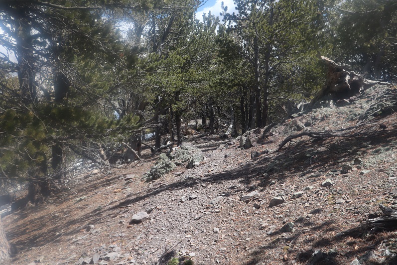
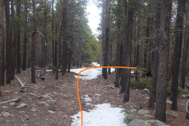
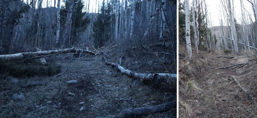
Once I entered the aspens the trail started to deteriorate. What I’d been pleased to discover was a good trail became a trail in much need of maintenance. I was navigating over fallen trees for the rest of the hike, and it became increasingly obvious no one had used this trail since the Fall and no one would be trenching for me today.
8

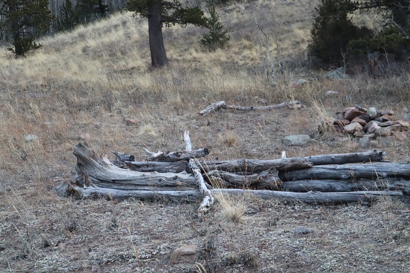
Around 2.4 miles there was a great spot for a campsite (10130’)
9

What I found disturbing were the number of dead animals I encountered on this hike. There were deer remains everywhere (I’m pretty sure it was more than one deer, spread out over a few miles) and a lot of bird feathers. It let me know there was a predator in the area, I just wasn’t sure which kind?

10

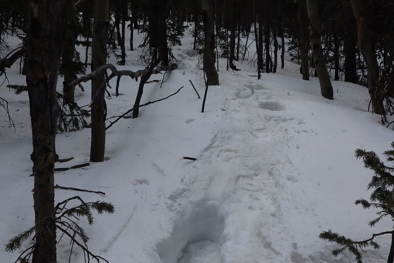
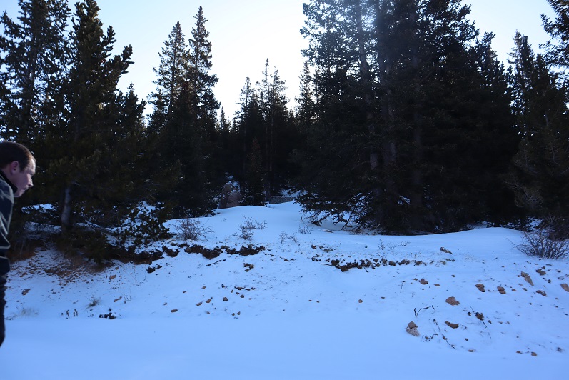
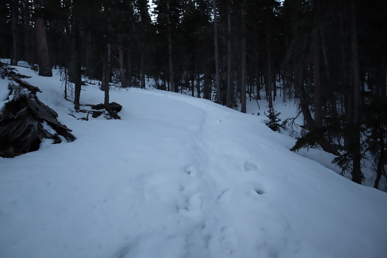
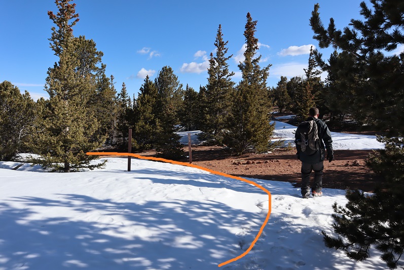
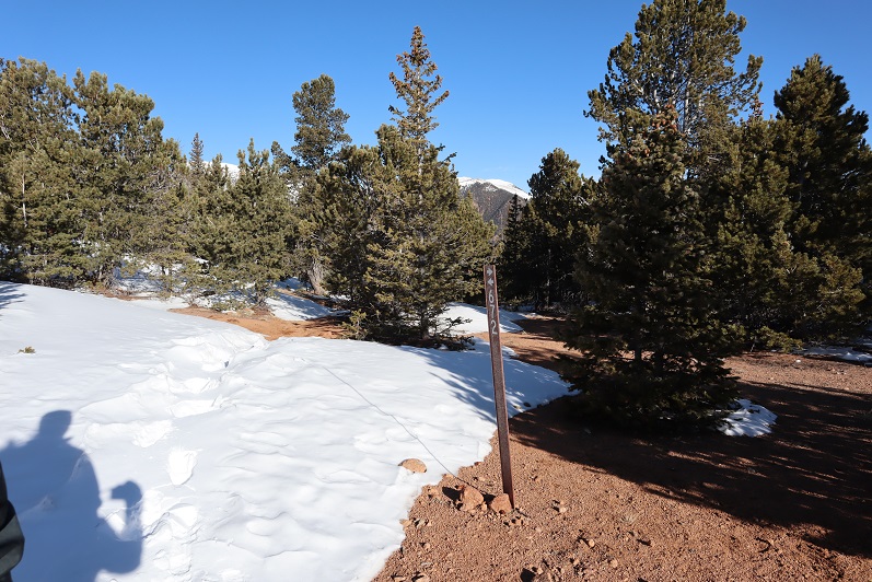
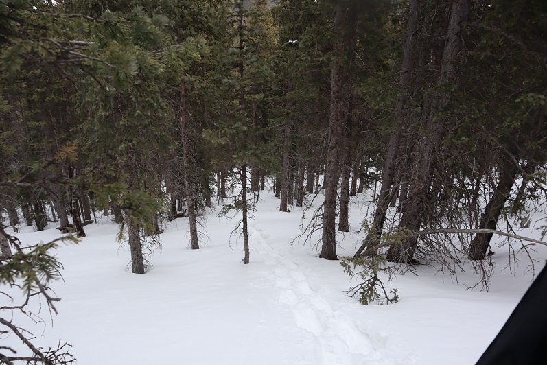
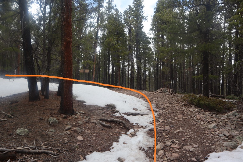
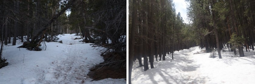
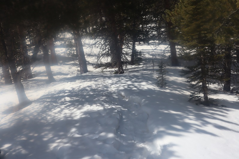
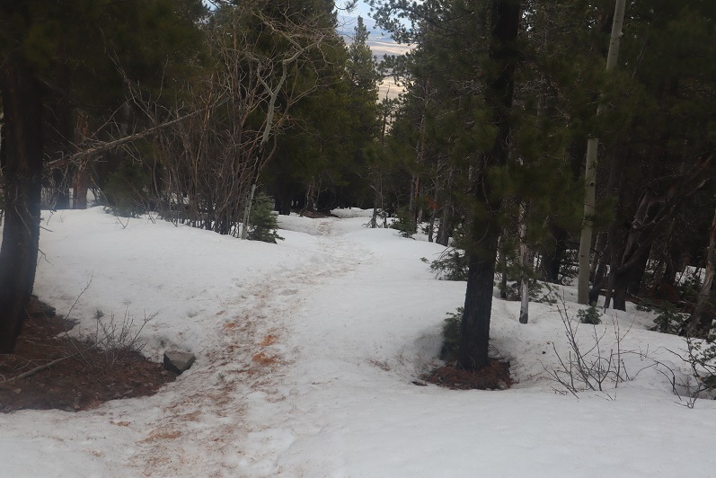
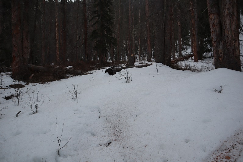
I encountered the first real snow after about 2.6 miles. It was still early in the morning so I didn’t need traction, but I did posthole from time to time. Here the trail was difficult to see, as it was both covered in fallen trees/branches and snow.
11

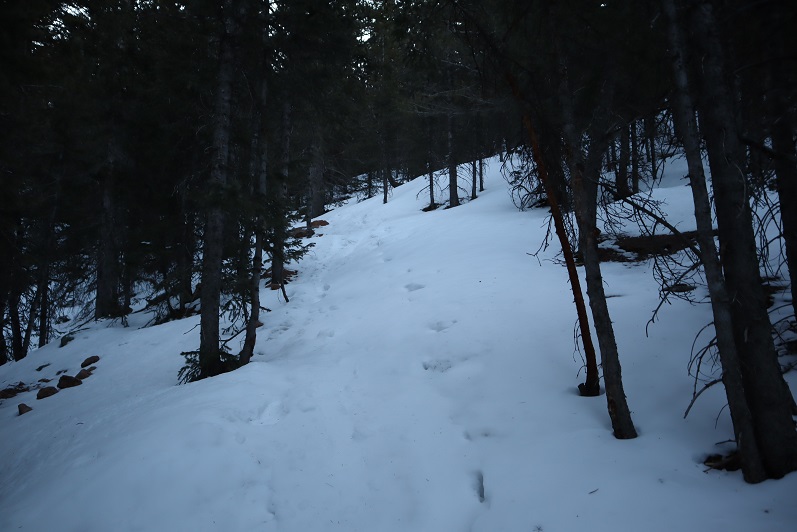
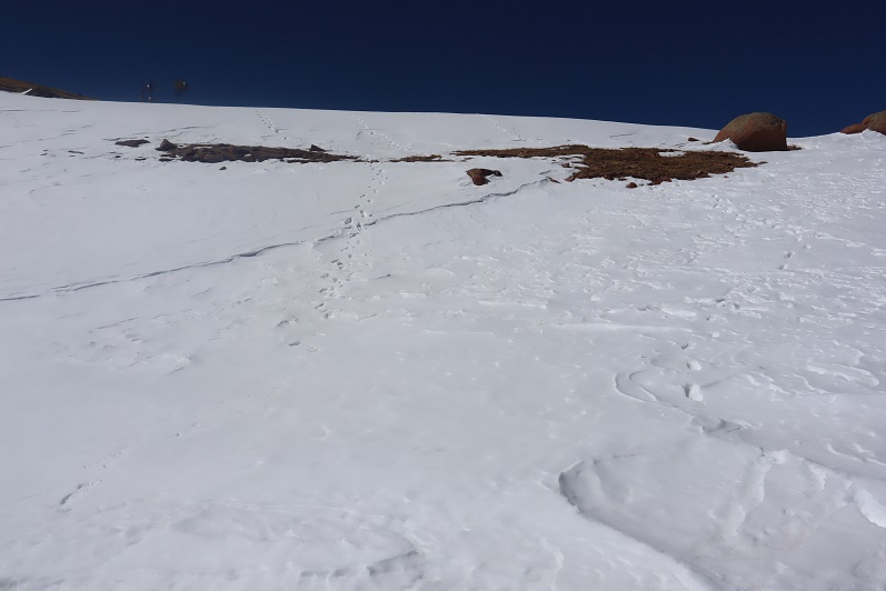
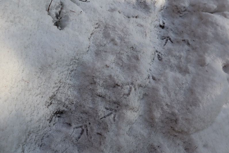
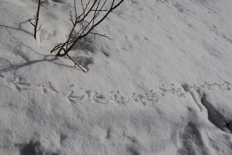
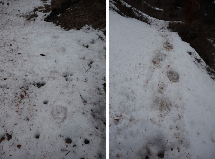
Here things got interesting: I came across bear tracks! They looked like they were from the day before, and since there was only one set of prints I knew it wasn’t a mama, and that it was just passing through. I followed prints along the trail for about a mile
12

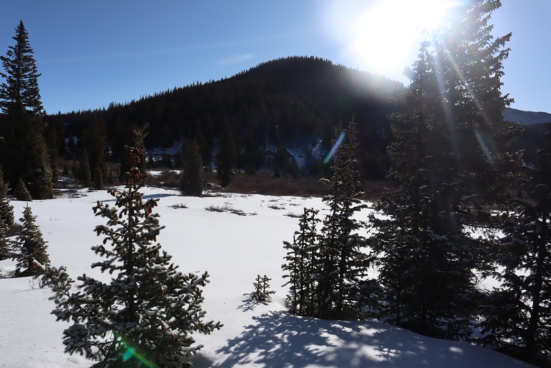
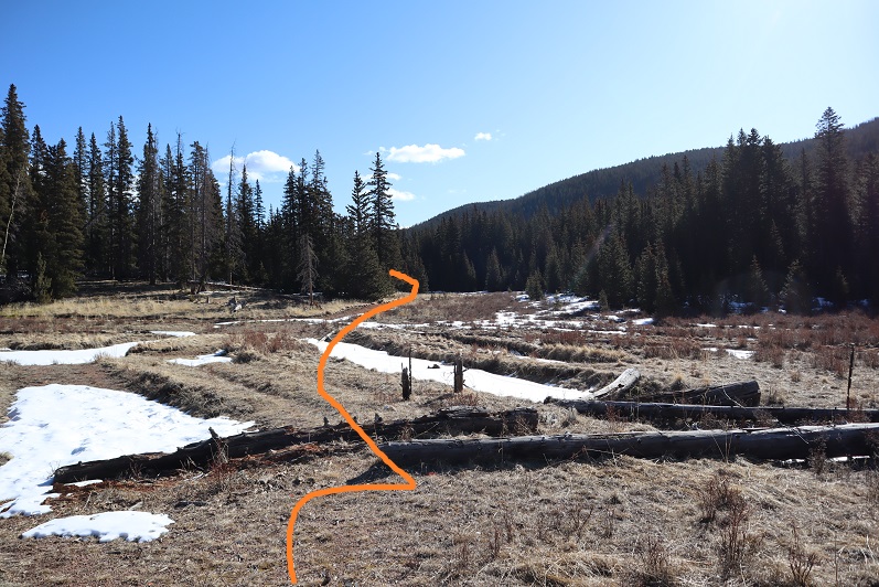
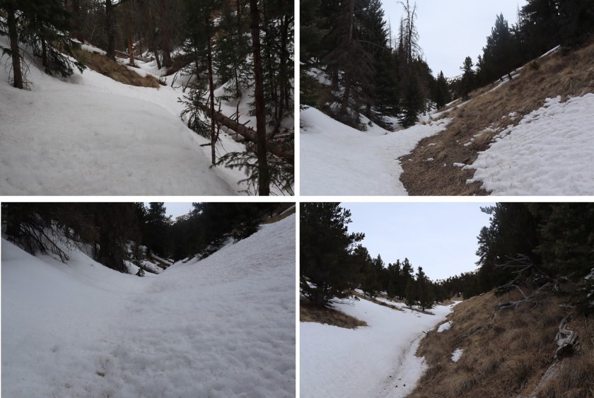
Since the trail was difficult to follow and the snow was getting softer I found myself straddling the ravine and following the small stream around the mountain
13

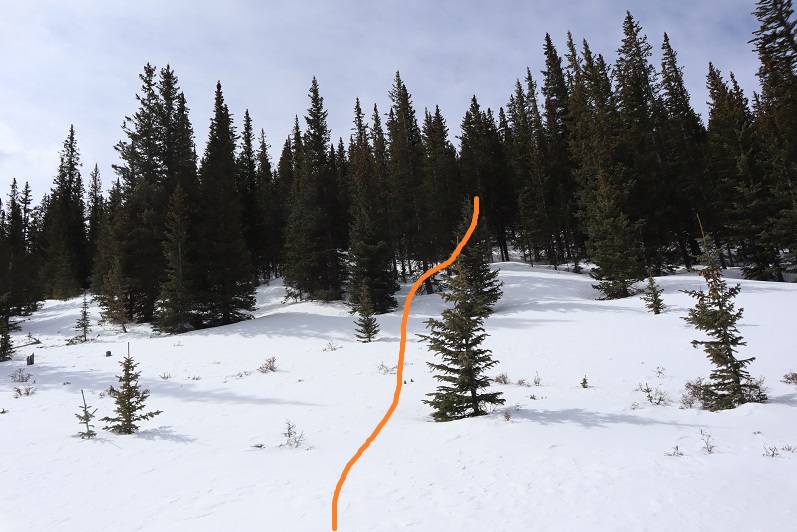
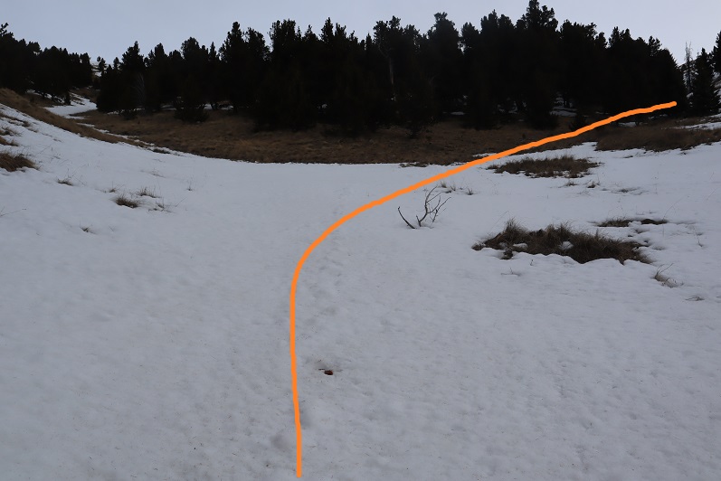
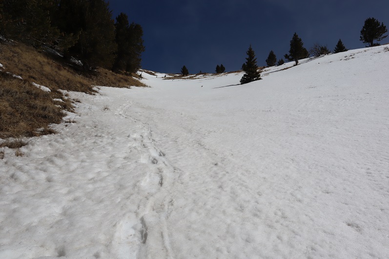
It became increasingly apparent I was the only one to use this trail in a long time. I circled around to a gully, which would have been challenging if there’d been more snow. Instead it was a steady climb up, and when I had the option, I took the gully to the right, also easy to navigate
14

15

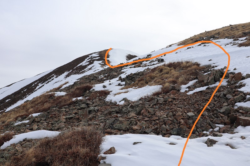
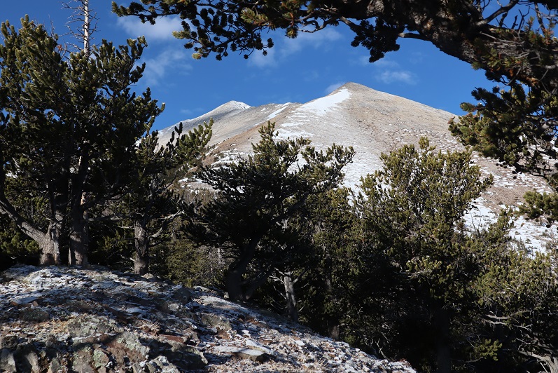
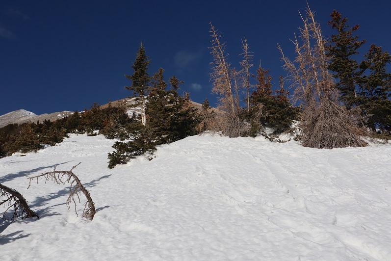
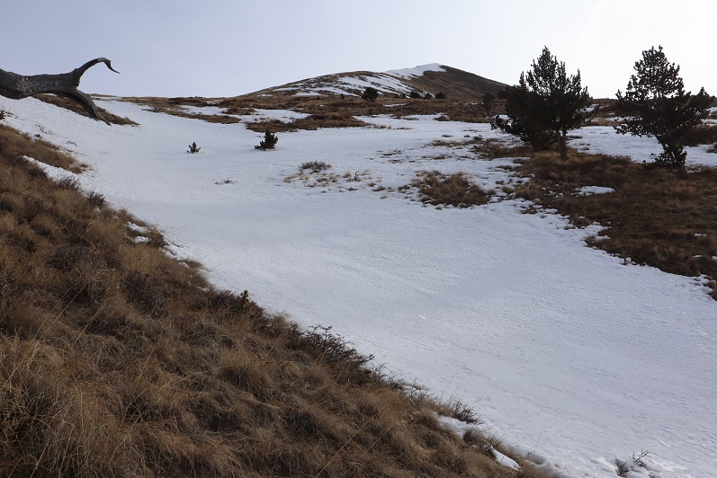
The second gully ended near treeline, and I became excited as I thought I could see the peak.
16

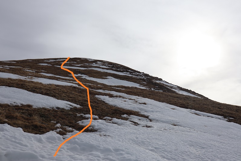
Of course in my mind I knew I was too close to treeline for that to be the peak, but surely it had to be just behind it? As I continued on I saw another peak behind the first one and figured that was the summit

17

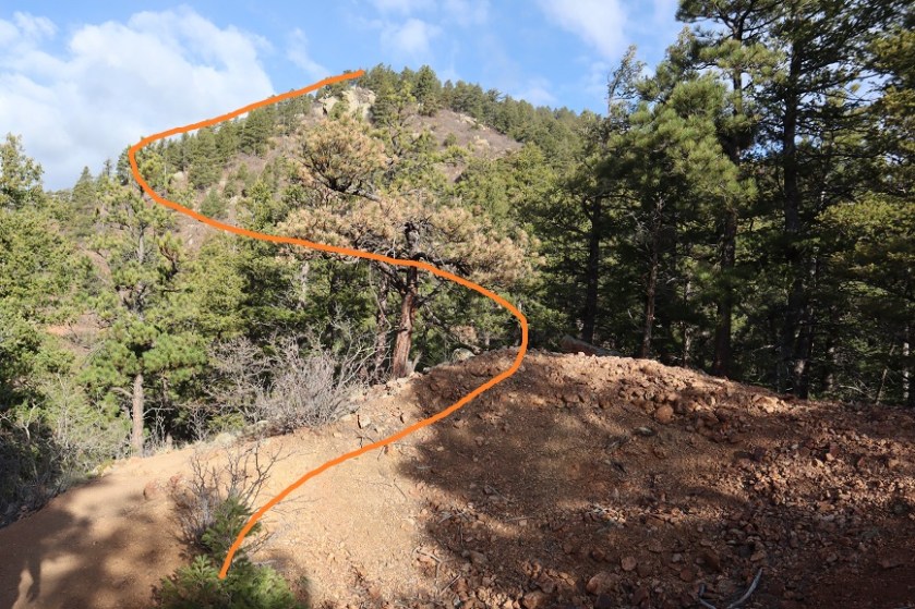
Up, up, and up I continued, doing my best to avoid the snowy areas.
18

19

20

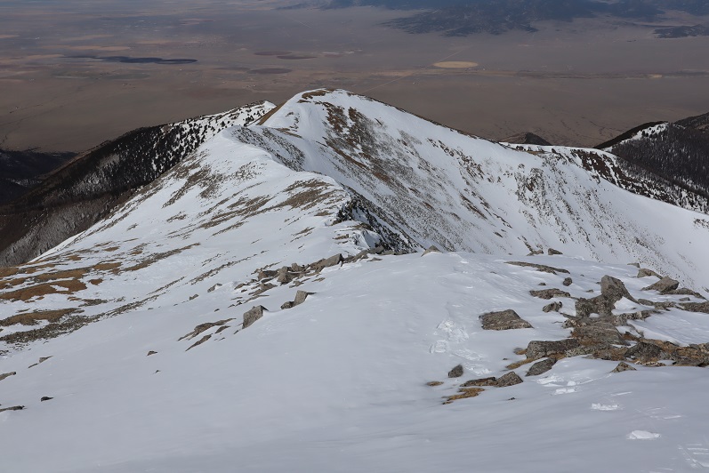
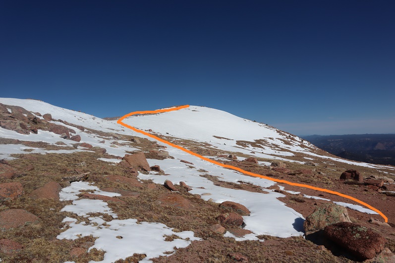
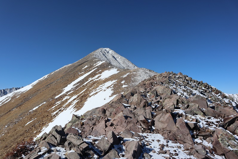
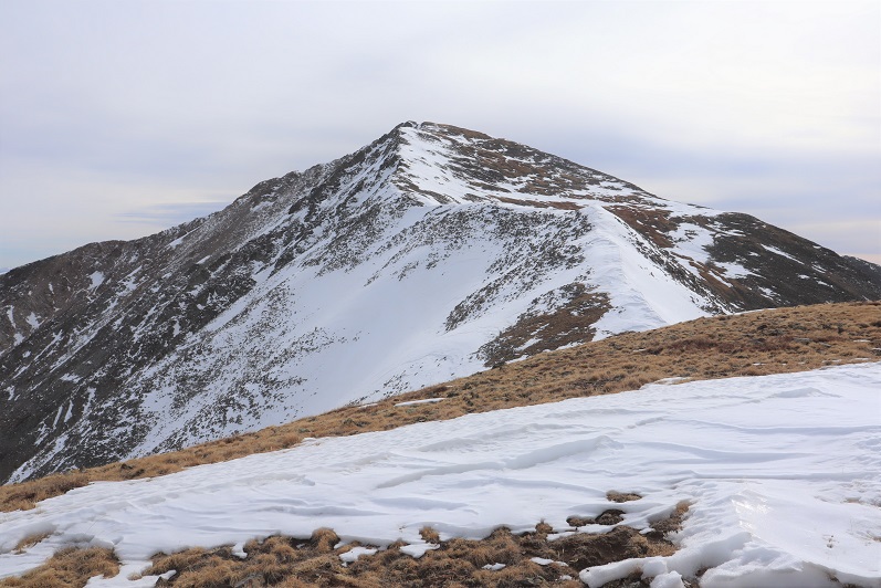
Imagine my surprise (and dismay) when I finally reached the top of the second peak and noticed I wasn’t anywhere near the summit: it was still quite far away
21

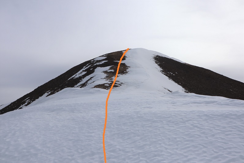
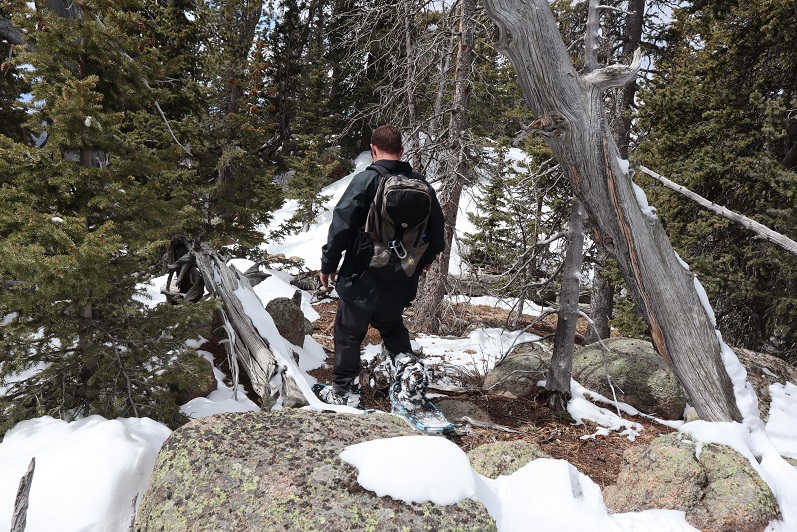
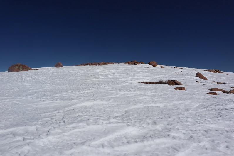
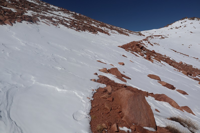
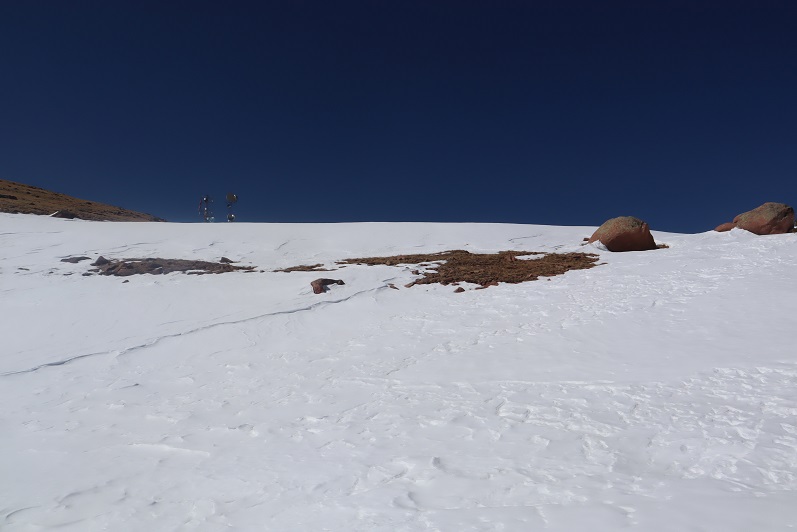
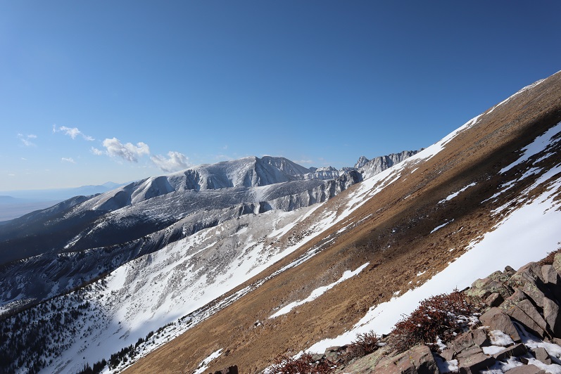
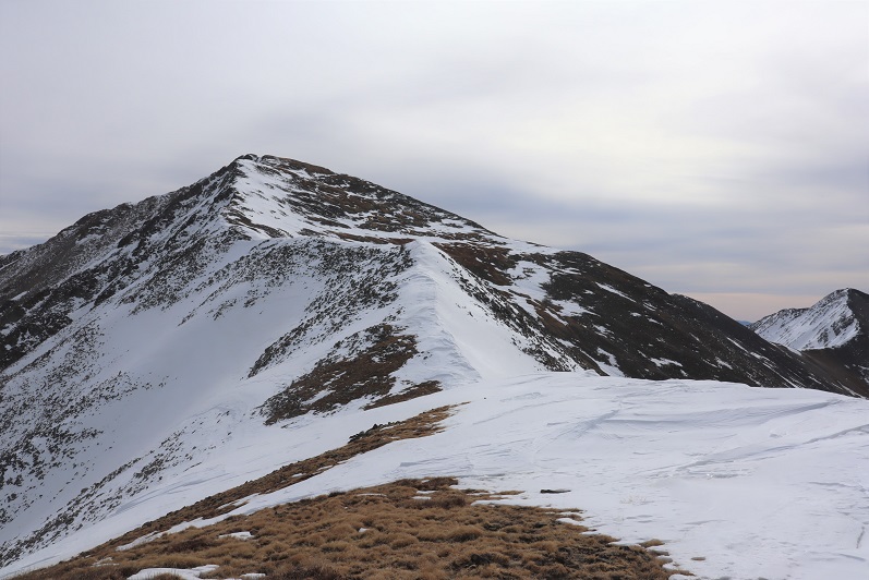
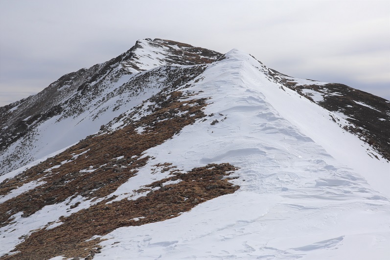
Not only was I still a good distance from the summit, but I would need my ice axe and snowshoes. Luckily, I had both. I sighed, broke down, and put them on. There was no way I was turning back now. The weather was great (the best day I’ve had all year) and while I’d already done 30 miles this weekend with 15K of elevation gain and was physically exhausted, I wasn’t quitting this close to the summit. I left my trekking pole here and continued on, ice axe in hand. The only way across the ridge was to walk directly on top of the cornices. Luckily the snow here seemed firm
22

23

24

25

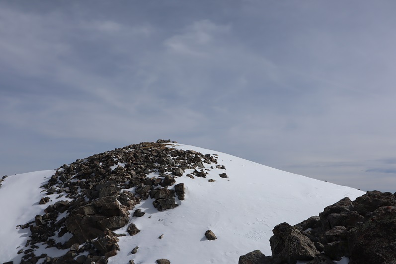
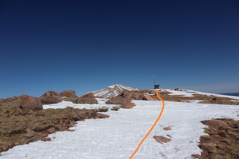
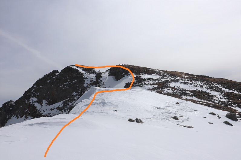
The last bit to the summit was easier than expected
26

27

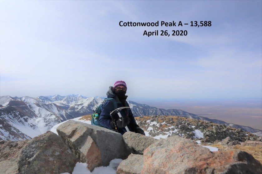
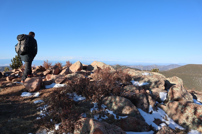
I summited at 9:30am

28
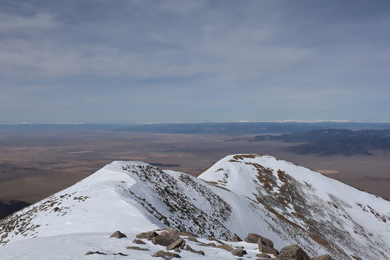
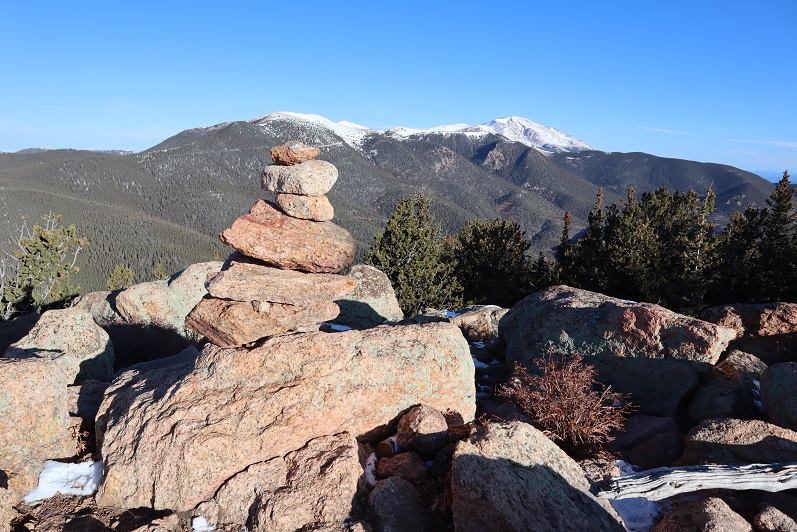
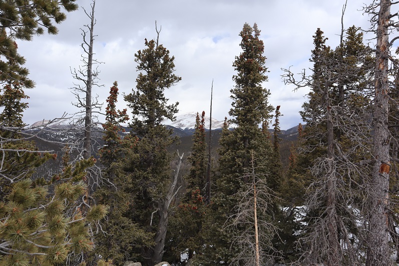
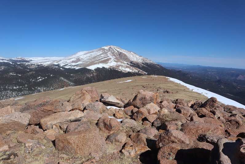
Summit Views:

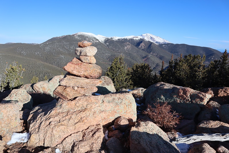
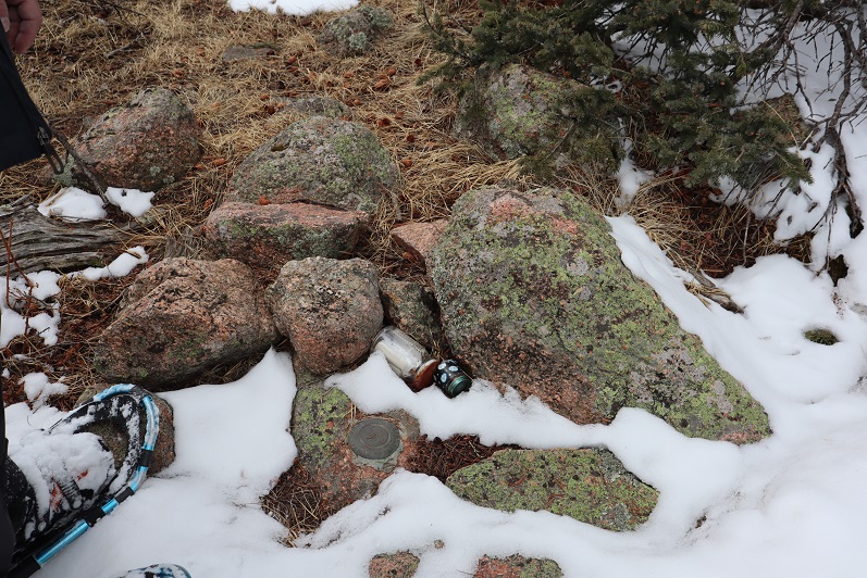
There was even a summit tag on top
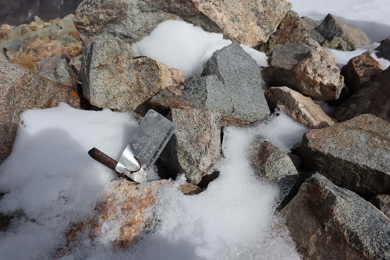
29

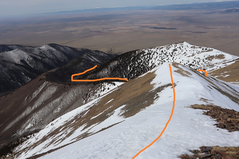
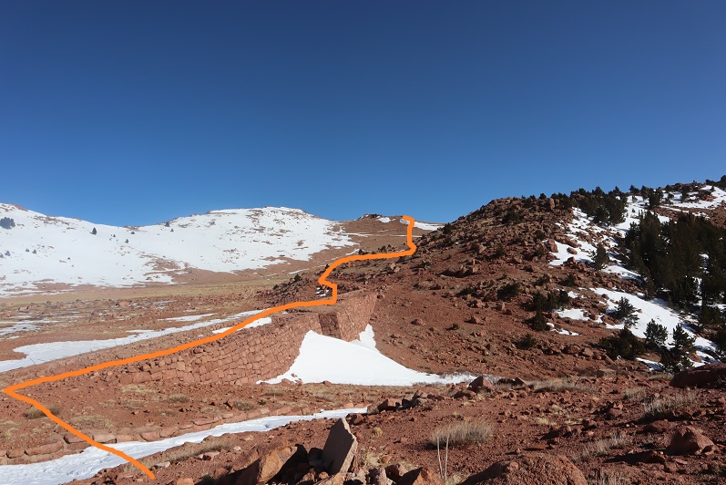
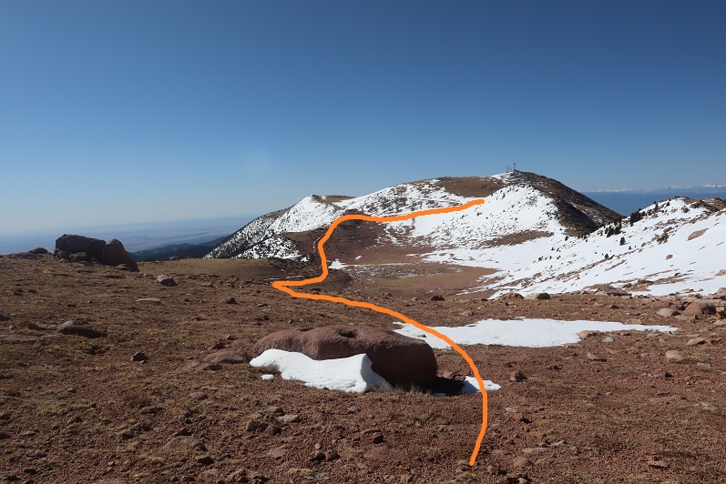
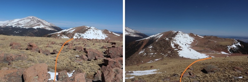
This hike is traditionally done as a loop along with Unnamed 13123B, so I went over to get a good look at the route
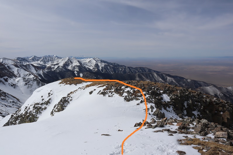
30

Hmmmm…. The route didn’t look that difficult. Actually, the ridge looked better than the one I’d just traversed, but it was a really nice day and the snow was warming up fast. I knew I could summit 13123, but I was unsure of the snow conditions on the route back below treeline if I were to make this a loop. I didn’t want to re-summit Cottonwood because a) I’d already done 5000+ feet of elevation today and b) the snow was getting softer by the minute on this side as well.
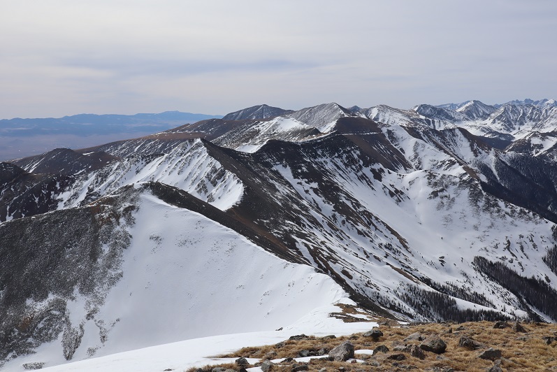
31

In the end I decided to go with the safer route and descend the way I’d summited, figuring that while the conditions wouldn’t be ideal, at least I knew what to expect.
I turned and headed back the way I’d come, first over a pretty cool cornice

32

And then back down the ridge

33

34

My favorite part was toe-heeling it across the cornices
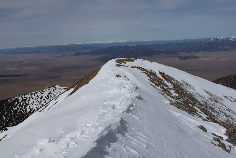
35

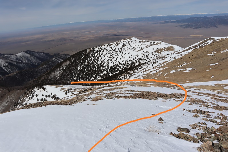
Here’s the route back

36

37

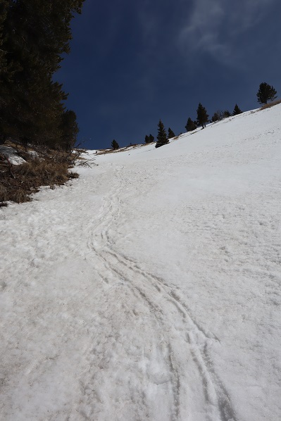
I decided to keep my snowshoes on, and this time stuck to the areas with snow.
38

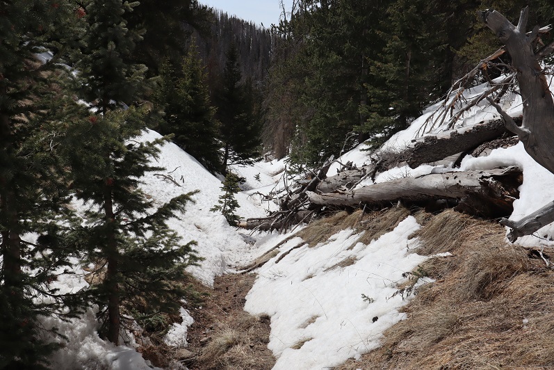
The snow was a terrible mush and I was glad I’d decided to return the way I knew, even if it meant postholing and navigating felled trees
39

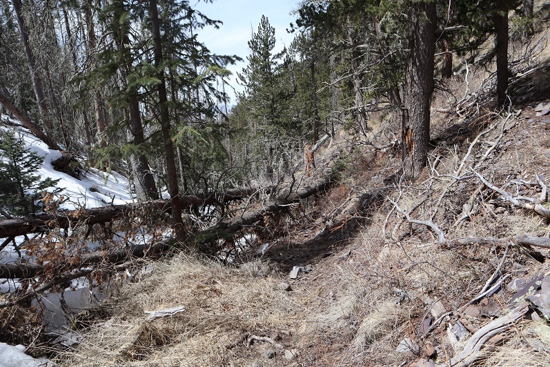
I kept my snowshoes on for longer than needed, but they came in helpful when I hit the boggy areas where there was no discernable trail but a lot of willows/snow/downed trees

40

They were cumbersome in areas such as this:
41

On the way back I scared the same ptarmigan as this morning and saw a cactus in bloom

42

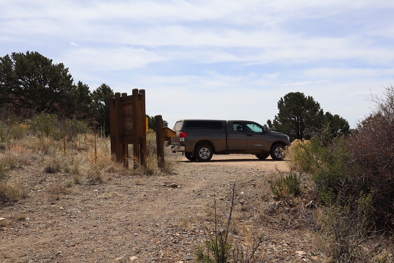
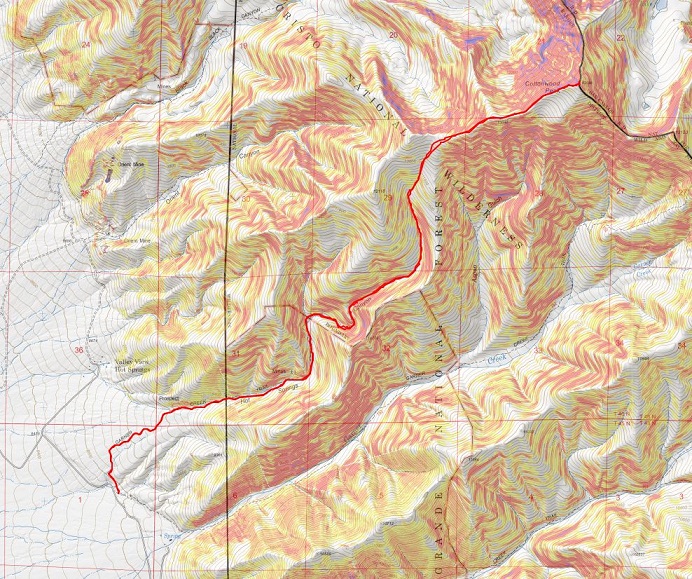
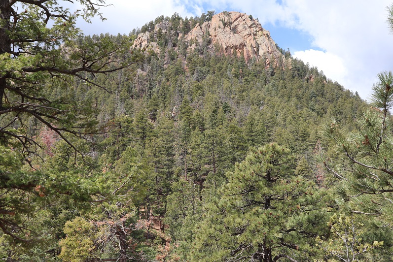
I made it back to my truck at 12:30pm, making this an 11.5 mile hike with 5110’ of elevation gain in 7 hours, 15 minutes. The VW was gone.
43

44
I was really happy with my decision not to make this a loop today, and look forward to trying the trail counter-clockwise next time, when there’s less snow…
Mt Muscoco – 8020 and Mt Cutler – 7220

1

RT Length: 5 miles
Elevation Gain: 2436’

Miraculously as we were coming down from Helen Hunt Falls we pulled up just as someone was pulling out and got the last spot at the Mt Muscoco trailhead. Woot!

2

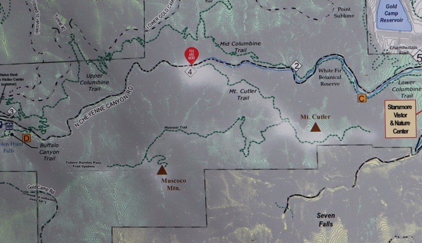
We didn’t have a map, but there was one provided, so I took a picture and we were on our way

3

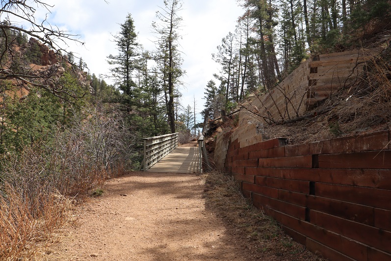
This is another class 1 route that’s easy to follow, so I won’t provide a lot of details, but just some pictures from along the way. You start by crossing a bridge

4

And continuing up the well defined trail. Steffen found a hole he wanted to check out….

5

Nothing was in it, so we continued on.

6

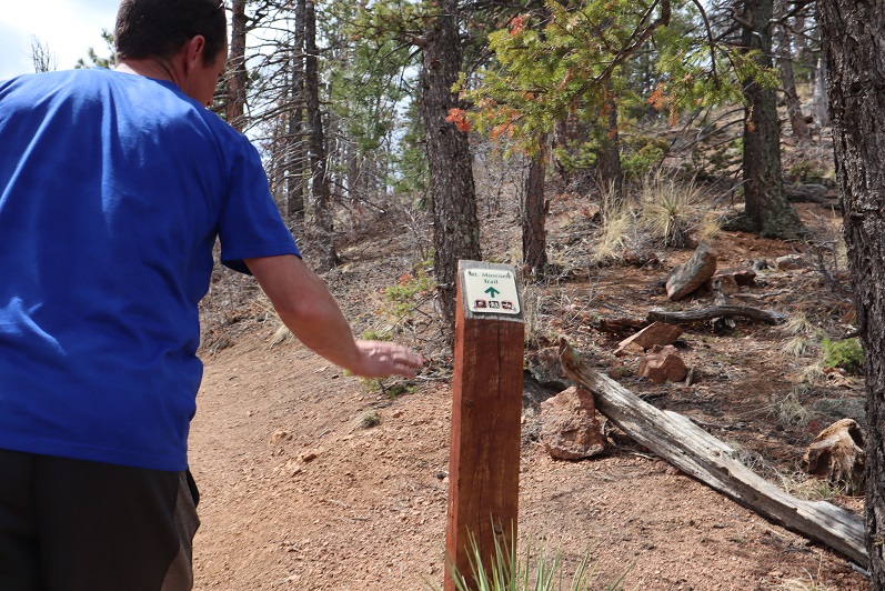
The trail has great signs

7

8

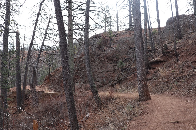
You actually work your way around the mountain to summit

9

Here’s the summit

10

And summit views

11

12

We headed back to the saddle, and decided to hike Mt Cutler too. The trail is once again easy to follow, class 1

13

And provided some great views of Mt Muscoco

14

We were surprised with how many people we were seeing along the trail, since there were only 15 parking spots. We must have passed 100 people. When we made it back to the trailhead we discovered why: people were parked illegally for miles along the side of the road, making it difficult to back out of your parking space (I was so glad I’d backed in) and making the road a one way road. People were playing chicken the entire way down. We need to open up our state or people are going to go nuts! Also, at this point I’m done staying close to home, I think I’m safer, and everyone else is safer Coronavirus wise if I head to trailheads and summits that are remote and NOT close to home.
Here’s my topo of the route

Mt Muscoco and Cutler topo

Helen Hunt Falls

1

RT Length: 1 mile
Elevation Gain: 492’

We’d intended on hiking Mays Peak after hiking 8130 but the parking lot was full at 9am. We circled the lot 4 times before heading down the hill and getting the last spot at the Helen Hunt Falls Trailhead. I backed in, and used my driver side mirror to park, not realizing there was a several foot difference between the drivers side and passenger side before a large drop off. Let’s just say I caught it just in time and floored it before falling over the side…
2

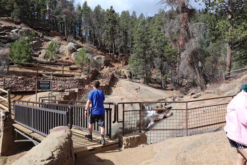
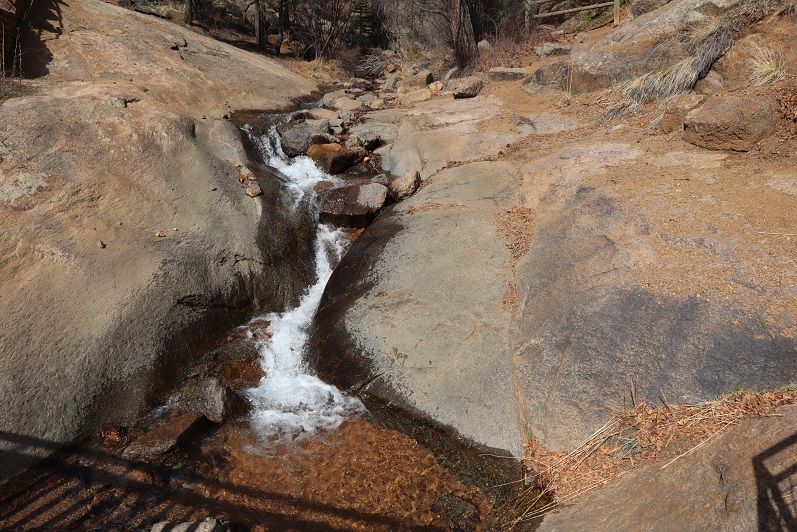
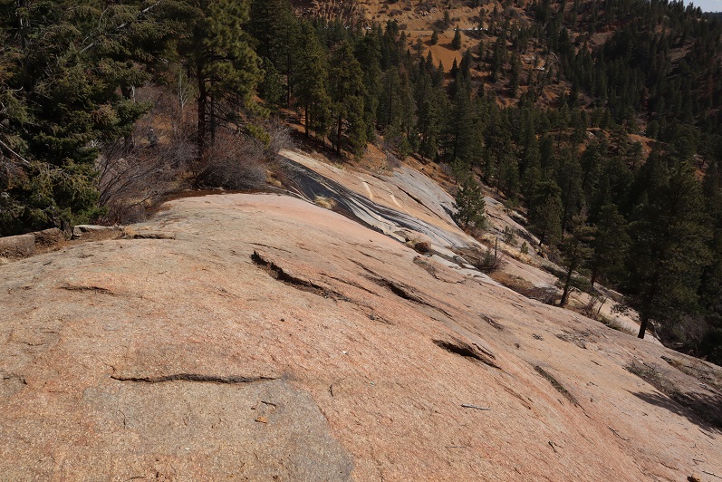
Helen Hunt Falls is a really easy hike off North Cheyenne Canyon and I’ve done this hike several times. No route description is necessary, as the trail is class 1 and easy to follow. Because of that, I’m just going to post some pictures from along the trail…
3

4

5

6

7

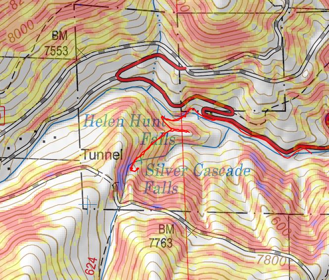
And my topo

8

Now, on to the next trailhead (I hope we get a spot… this Coronavirus thing is causing North Cheyenne Canyon to be full of vehicles before 9am every morning, and it’s a Saturday…). Everyone’s been great at social distancing, but it’s more crowded than I’ve ever seen it, even on a weekend in the summer.

8130

1

RT Length: 4.5 miles
Elevation Gain: 1742’

It was COLD when we woke up this morning, but thankfully, the heater did it’s job.

2

However, unlike yesterday when I woke up and got up with my alarm, today I decided I needed another hour of sleep. So we didn’t make it to the trailhead until much later than we’d wanted (we got the last spot in the parking lot).

3

4

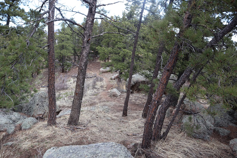
The trail was well marked and easy to follow. Every time there was an option (junction) we turned left, following the mountain and heading up.

5

6

We even encountered some nuns. At first I thought they were hikers dressed as the grim reaper (hey, it’s been going on with this whole Coronavirus thing). They told us to have a blessed day.

7

8

9

You hit a kind of saddle after 1.6 miles. Here’s a basic overview of the rest of the route

10

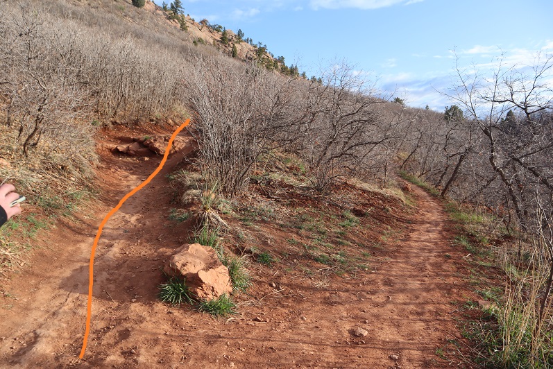
The tricky part is knowing when to veer off trail. After hiking for 2.1 miles along this trail you turn right and bushwhack northeast up the mountain, or use one of the several of available game trails. All are equally steep. We took a different one up and back so we’d have a couple of good gpx routes.

11

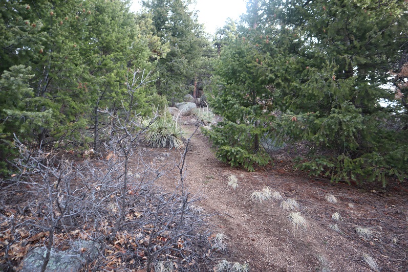
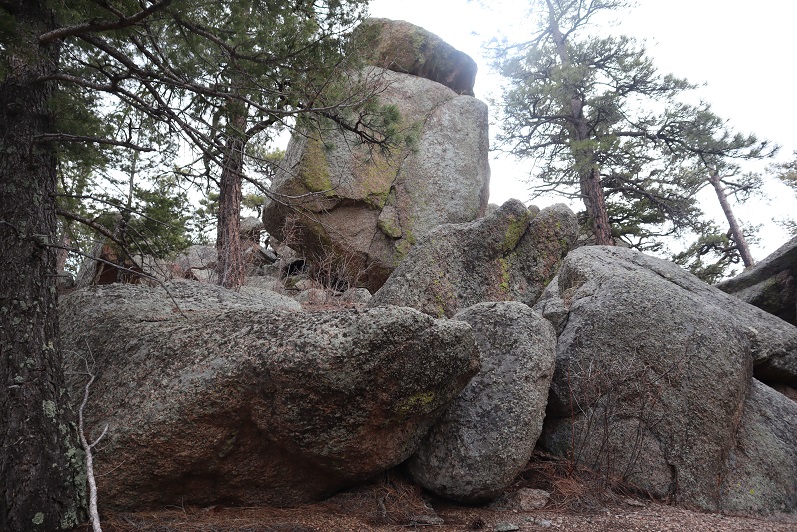
At the top you’ll come to a boulder, and yes, this boulder is the highpoint.

12

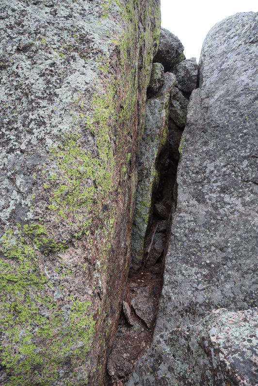
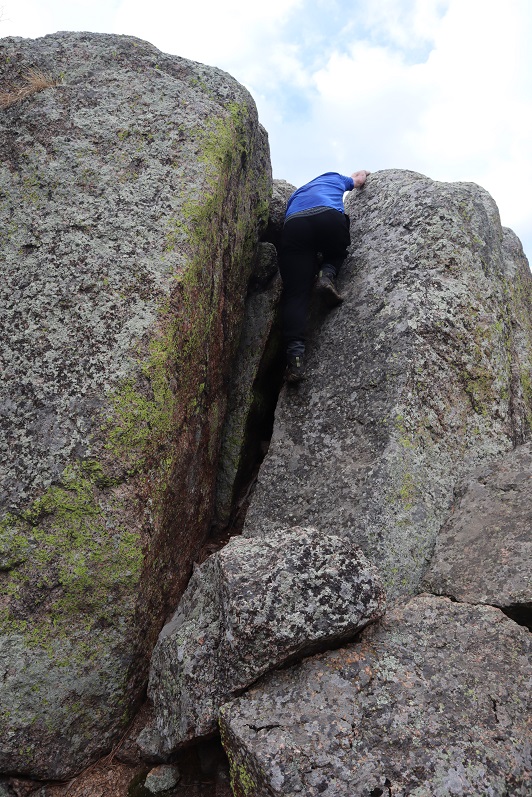
There’s a class 4 chimney you need to climb to get to the top (towards the left… the boulder on the right isn’t the summit).

13

Some people might consider this class 3, but to anyone under 6 feet I can assure you, it’s class 4 and requires commitment.

14

15

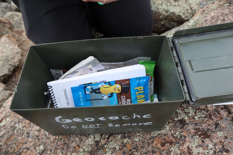
There was a summit register at the top with tons of cool stuff inside.

16

17

We headed back down a slightly different way to the main trail

18

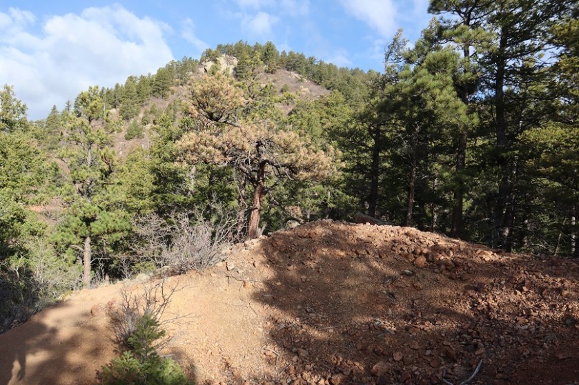
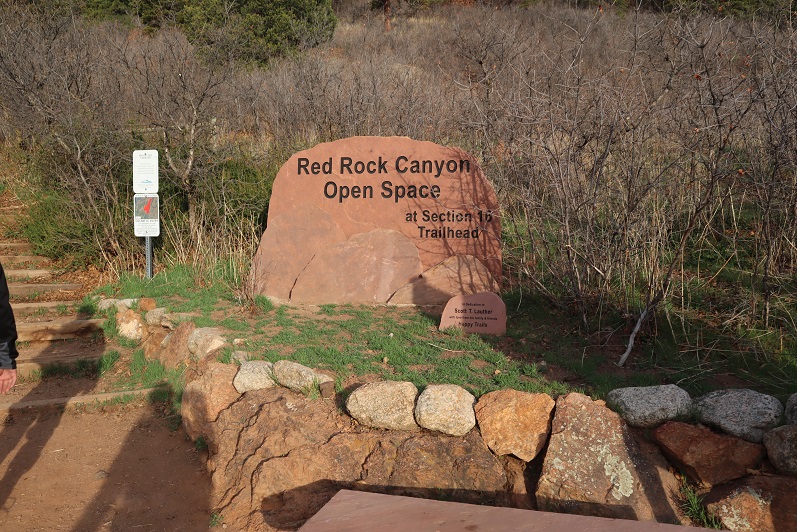
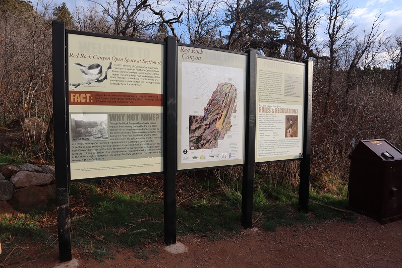
And easily followed it back to the section 16 trailhead

19

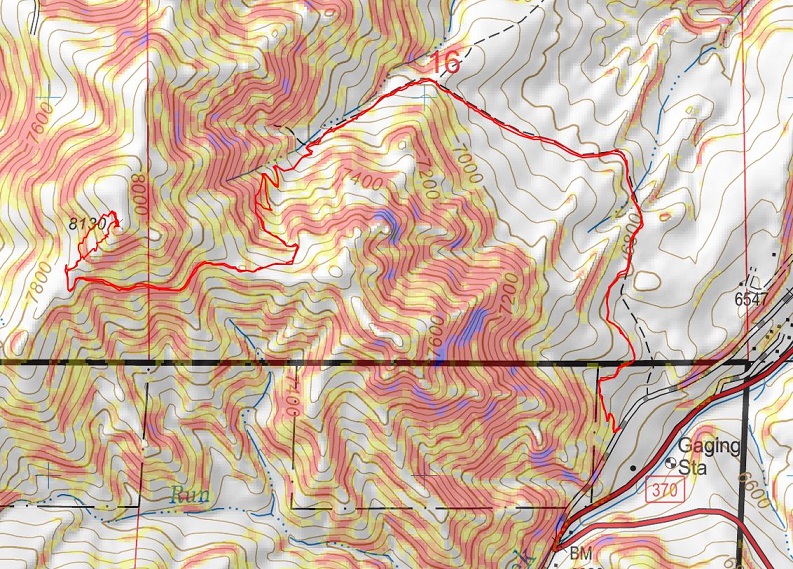
Note: the elevation gain was constant and more difficult than anticipated, especially for such a short hike. Here’s my topo of the route:

20

Now, on to the next trailhead!

Bull Hill – 10,808’ (Attempt)

1
RT Length: 1.6 miles
Elevation Gain: 558’

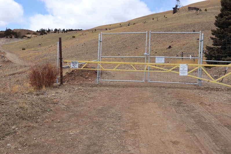
Turns out this one’s illegal. We knew once we arrived at the trailhead and saw what was before us our chances of summiting were slim, but we decided to try it anyway.

2

The gate was unlocked so we passed through and started our way up the road. It was supposed to be a quick, 1 mile hike on a road and then a short distance to the summit. We walked about a third of a mile and turned right

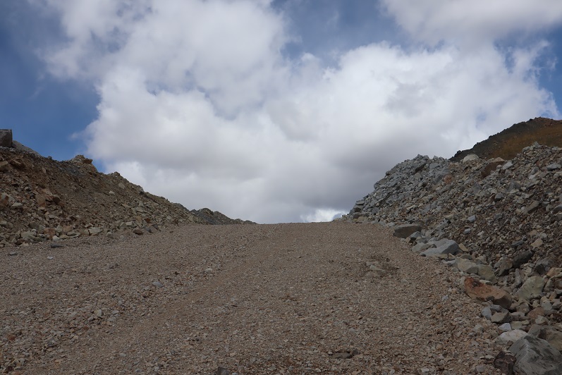
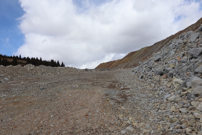
3

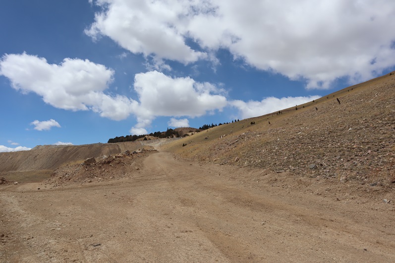
And headed up a wide, rocky road

4

5

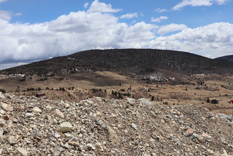
We had a great view of Big Bull, the mountain we’d just climbed a few minutes ago

6

As we were walking along the road we heard a loud rumbling and saw a dump truck the size of a house drive past us, full of rocks. We were on an active mine, and immediately began to worry we were going to get in trouble for being here. We saw a water truck drive by, and then after hiking along the road for eight tenths of a mile we saw a white pickup truck with lights coming towards us. We asked the man in the truck for directions to the summit, to which he very politely told us we weren’t allowed to hike here and asked us to turn around. He said we could try to summit another way, on the other side of the fence (but we knew that wasn’t possible because the fence went all around). He actually offered to drive us back to the gate, but we declined. He sat in his truck and watched us hike the entire way back. I’d wanted to take more pictures, but figured he wouldn’t appreciate my doing so.

7

We had a gpx file for this route, and that person either a) made the file on CalTopo and never actually hiked it, b) hiked it illegally, or c) somehow got permission. There are no trip reports on this hike with more information. I’m thinking b is the most likely option, but I’m not going to name names.

We made it back to my truck and pondered how we were ever going to hike this ranked summit? Legally that is. I’m sure this mine is operating 24 hours a day, 7 days a week, 365 days a year. There was a phone number listed on the gate. I’m going to try to call that number and get special permission to hike. I don’t have high hopes that will work, but I’m going to give it a shot anyway.

Here’s a copy of our topo.  We were so close!

8
Oh well, on to the next peak!

Big Bull Mountain – 10,832’

1

RT Length: 2 miles
Elevation Gain: 828’
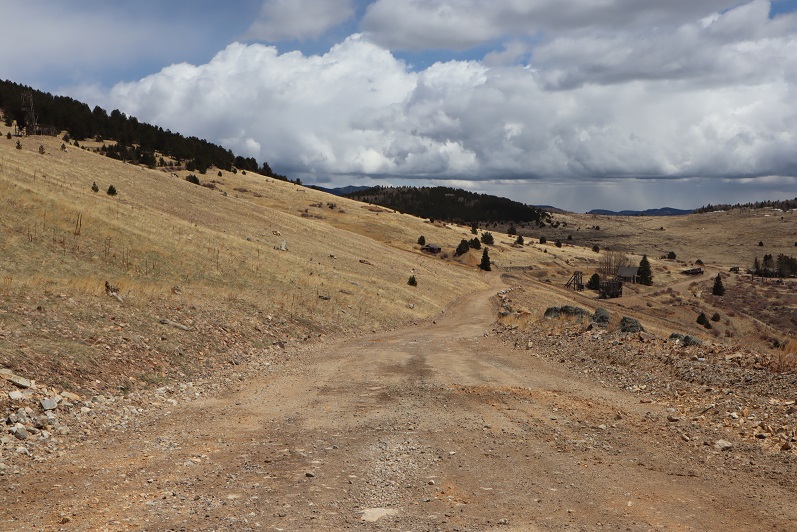
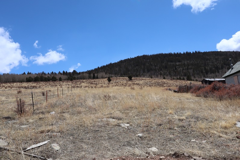
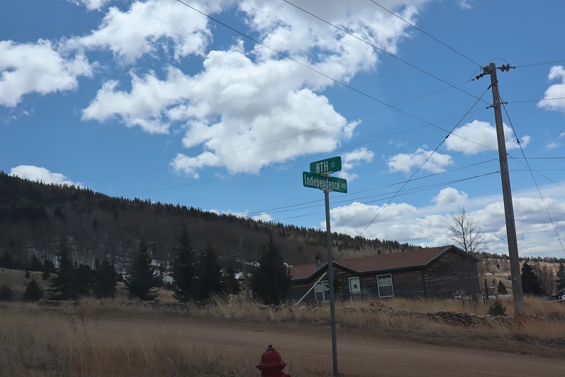
The start of this hike was a little fuzzy. I parked my truck at the dead end of Independence Avenue, near an old, boarded up house.

2

3

We started out by going through an unlocked gate and just heading up the mountain, hiking southeast. In fact, the entire hike to the summit you just need to continue heading southeast and you’ll make it there at about a mile’s distance.

4

5

There’s actually a drainage here that makes the path easy to follow

6

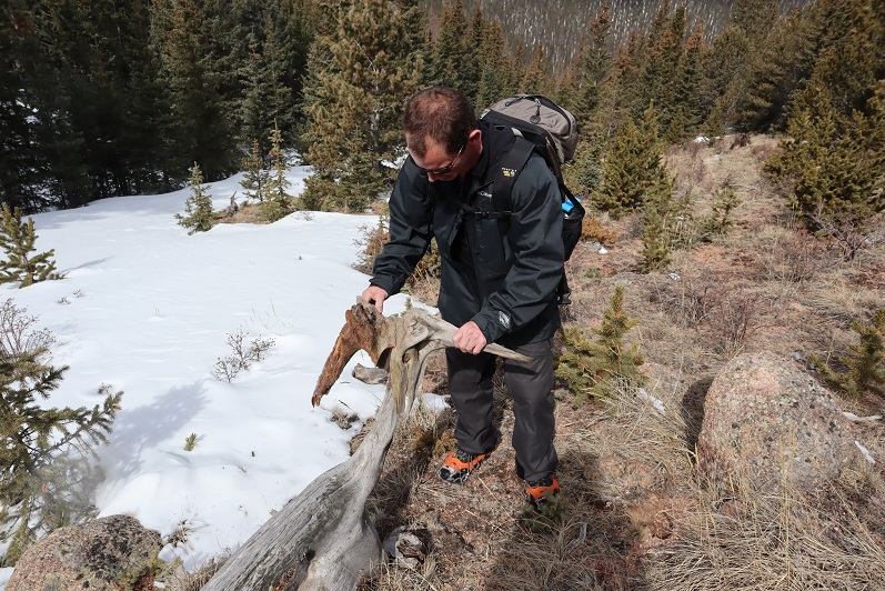
We headed up the mountainside through grass and into some aspens. Here we found a mule deer antler!

7

8

As we entered the pine trees the snow became thick and we needed to put on our snowshoes. I was glad we’d brought them, as from the truck the hike looked clear of snow.

9

The pine trees ended up becoming very thick with young growth. So thick it became difficult to find a hiking route.

10

Eventually the pine trees gave way to a flat ridge less dense with vegetation

11

We wanted to remember our exit point, so I brought out some of the surveying tape I’d pre-cut for just this purpose and we marked a tree

12

We followed the ridge east now until we came to a wide cairn.

13

14

15

It was difficult on this flat mesa to figure out where the true summit was, but we figured the cairn was a likely indication. There was no summit register, and we’d forgotten to bring one, so we just took a picture

16

And headed back the way we came

17

It was surprisingly easy to find our yellow marking tape, and from there we just followed our tracks in the snow back down (we removed the tape, as we didn’t think it would be useful to anyone else and were practicing leave no trace)

18

We made it out of the trees and back into the grass. From here we could see my truck, so it was an easy exit

19

I kept looking for another deer antler, but unfortunately didn’t come across one. This is the first deer antler I’ve ever found on a hike, and I do a lot of hikes!
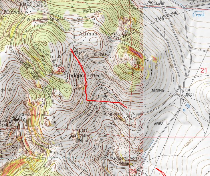
This was a quick, 2 mile hike through some soft snow and densely wooded areas. Our third summit of the day, now we were off to attempt our fourth! Here’s a topo of the route:

20
*If you plan to do this hike, please get the appropriate permissions before potentially roaming onto private property.

Covid Peak – 11749 and Corona Peak – 11510

1
RT Length: 5 miles
Elevation Gain: 1654’

I know these peaks are NOT named Covid and Corona, but they don’t actually have names, and these seemed appropriate. Also, I don’t expect these to become permanent names, as I know naming a peak is a process.

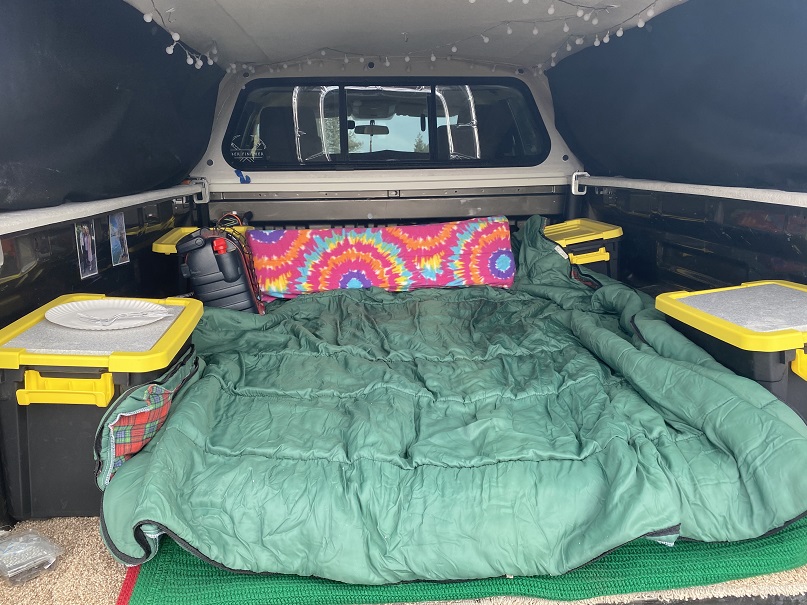
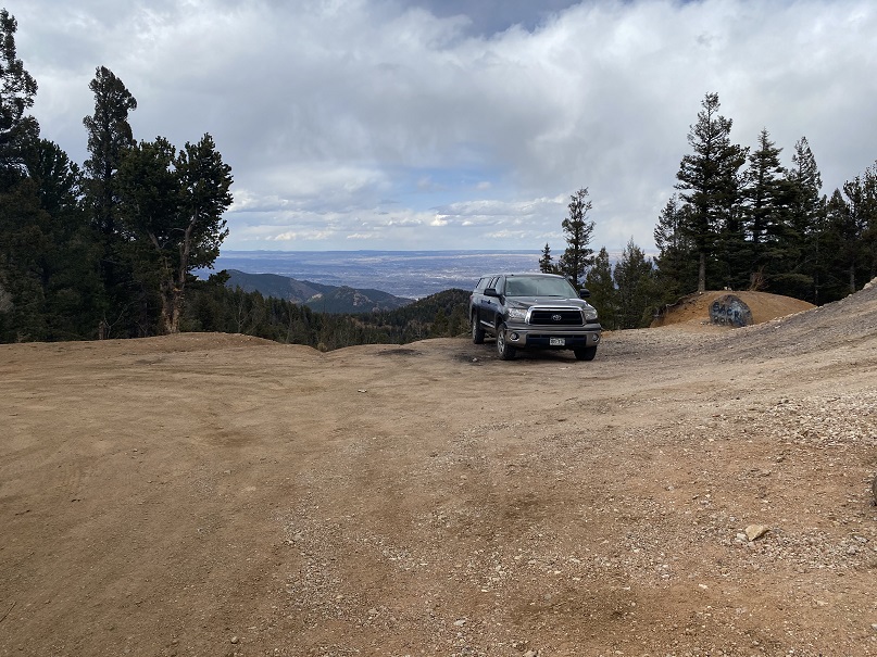
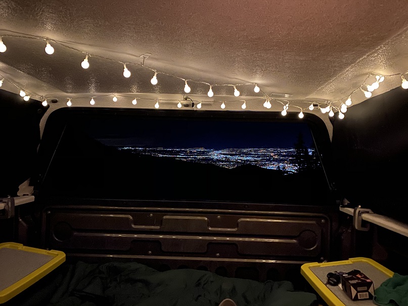
The story of these peaks actually begins a few months ago, when I ordered a topper for my truck. I ordered this topper weeks before the stay at home orders, but due to the Coronavirus scare it was slow to arrive. Very slow. Finally, this week it came in and I was able to have it put on. I spent the next few days sprucing it up, adding a mattress, blankets, pillows, and storage containers with necessities (food, cooking gear, toiletries, etc.). I added the curtains and lights. I was pleased with the setup.

2

We made it to the spot we planned to spend the night early, and had elk sausage and baked potatoes for dinner, heated over a fire.

3

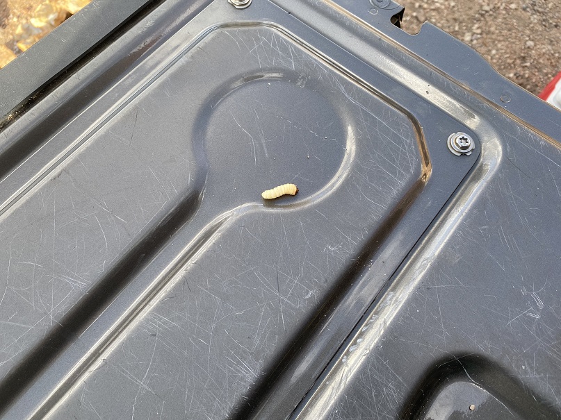
We found a grub in some firewood. I wanted to eat it, but it slipped into the fire…

4

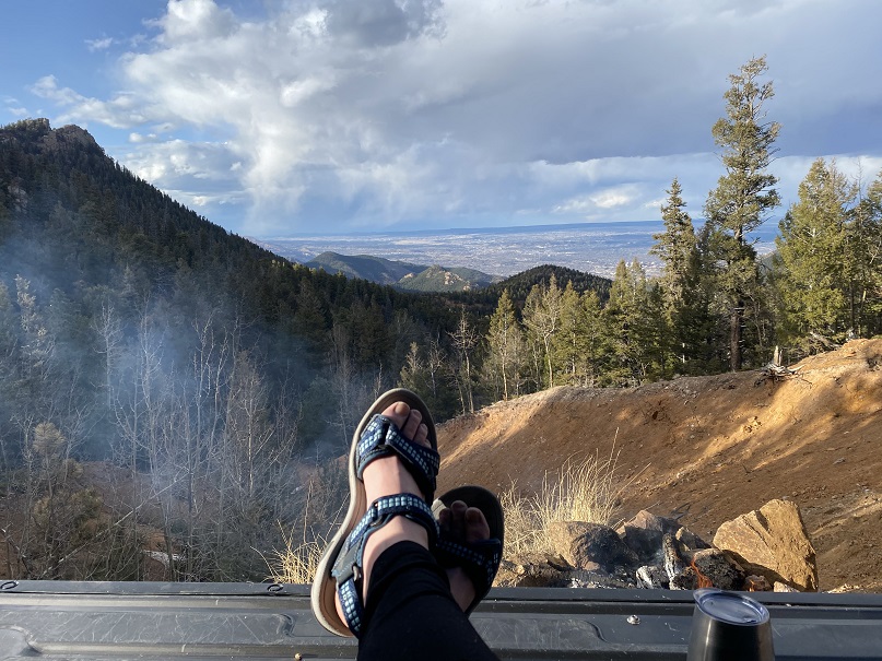
We cleaned up and waited for the sun to set. And waited. And waited. Steffen dug out some rhyolite rocks with my ice axe and I just relaxed and waited for the sun to set.

5

But it just didn’t seem to want to set! I wanted to see the city lights before going to bed. It took me way too long to realize we’d be getting up in the dark anyways, and I’d see them soon enough. I decided to err on the side of sleep and see them in the morning.
Lessons learned during the night:
• 4 blankets/sleeping bags aren’t enough for 25* weather
• Wear a hat and jacket and gloves to bed
• The metal on the side of the truck is cold
• Set out everything you need for the morning before you go to bed (clothes, food, toothbrush, etc)

OK, so it wasn’t as warm as I’d anticipated, but that’s why we were doing this the first time close to home, to figure this kind of stuff out.

My alarm went off at 4:30am and I didn’t want to get up. It had snowed a bit overnight. I wasn’t warm, but I didn’t want to give up the covers either. Eventually the need to pee won and I got up. We decided to drive to the trailhead with the heater running in the truck and warm up, then have breakfast/coffee in the truck before heading out for our hike. Oh, and the lights were indeed beautiful!

6

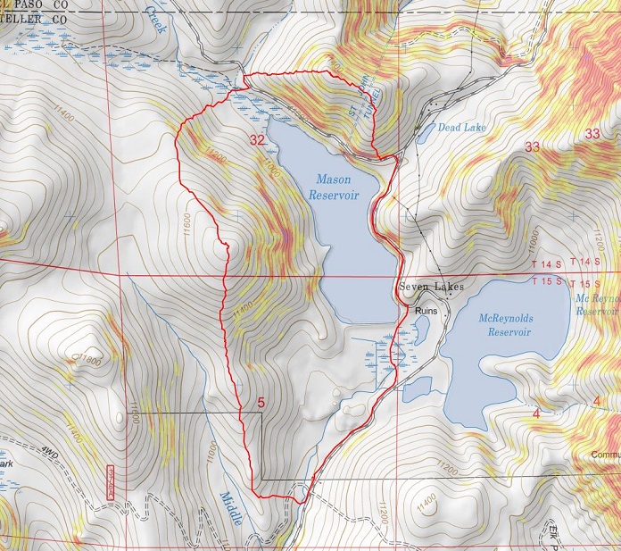
We made it to the Mason Reservoir trailhead, parked, and made breakfast. We were on the trail by 6:30am. To be fair, the drive took us over an hour (Old Stage Road is in need of repair!!!)

7

We did not head towards the reservoir but instead went west

8

Crossing a creek and heading up the mountainside to the ridge

9

In the beginning it looked like there might actually be a trail, but we soon lost it in the snow

10

At the ridge we turned right (north) and followed the ridge to the end

11

The snow ranged from non existent to several feet deep. We were able to get away without using snowshoes all the way to the peak

12

We just kept aiming north, towards the peak

13

14

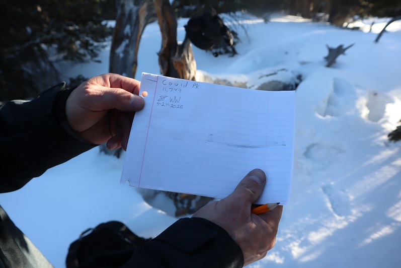
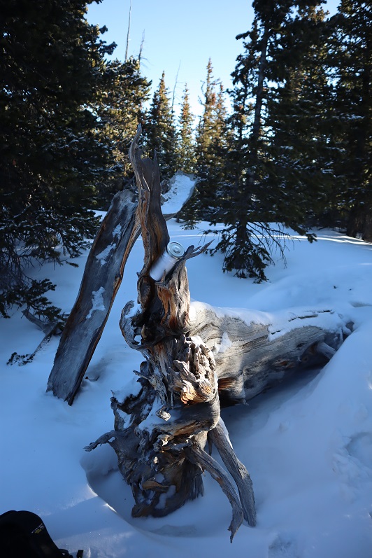
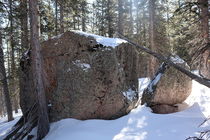
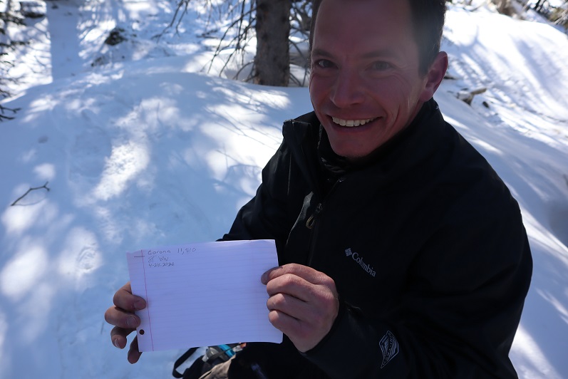
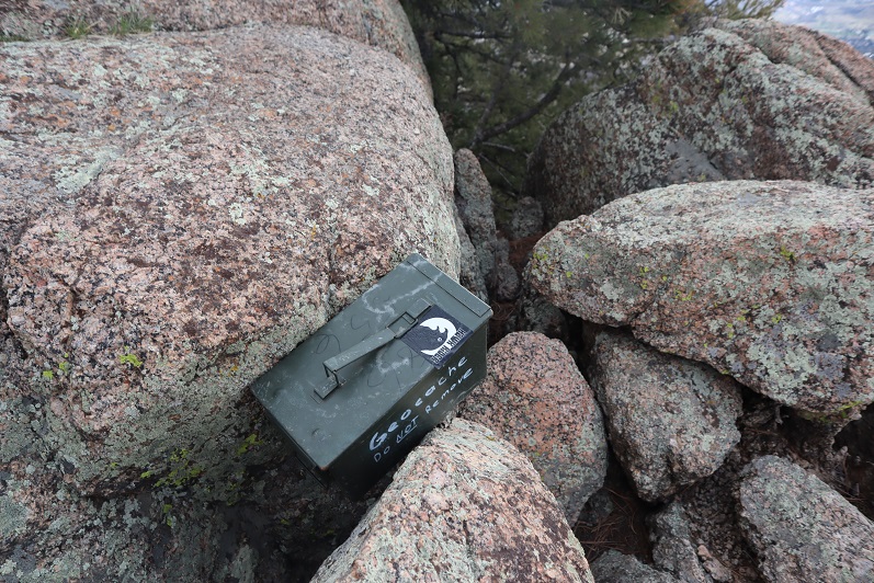
The summit of the peak wasn’t obvious. There was no summit register or cairn or anything indicating we were at a summit. I figured that was because this peak was so obscure. So we decided to leave a summit register and name Peak 11,749 Covid Peak.

15

We left the summit register where someone would find it and were on our way

16

We followed the ridge northwest down, immediately needing snowshoes

17

The snow was very deep and we were both glad we’d decided to take this hike in a clockwise direction: this would not have been fun to hike up! At one point we saw a well defined (but old) trench that was pretty large and looked like a human trench but weaved through the trees without breaking any branches. We realized it must be a trench from a large animal (thinking mountain lion, not bear). This area was very steep

18

At the bottom of the ridge we came to a marshy area and headed east towards our next peak

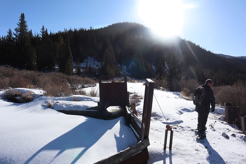
19

The marshy area had what looked like water gates

20

We crossed a dirt road, and then just headed northwest up the ridge

21

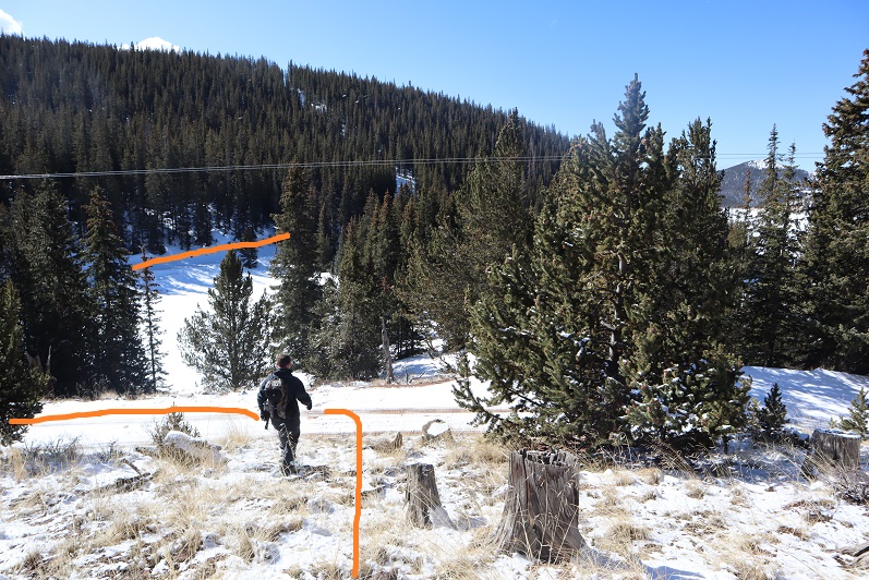
Snowshoes were needed here. We came across some recent orange flags and figured they would lead us up the peak. They led us about ¾ of the way, and then disappeared

22

The actual summit of this mountain was difficult to surmise. We weren’t sure if it was on the north end or the south end of the mountain, as both points looked equal. We hiked all the way to the south end and found this rock.

23

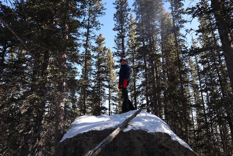
It felt like the highest point, so we climbed on top and I took a reading with my altimeter. It’s a serious class 5 climb, and we used the tree as leverage to get to the top.

24

Then we hiked back to the north side (about 1/10th of a mile away) and I took another reading with my altimeter. This point was anticlimactic and measured 10 feet higher. I was kind of disappointed the summit didn’t require a class 5 move, but it made the summit more attainable for everyone. There wasn’t a summit marker/register/cairn, etc. so we made one, naming 11,510 Corona Peak.

25

We left the summit register in the middle of a pile of snow at what was the highpoint

26

Making this a loop we set out again towards the south side of the mountain, passing the large boulder and heading down the south ridge towards the reservoir.

27

We made it back to the road and followed it around the reservoir

28

29

We found a frozen drain and Steffen had fun trying to break the ice with my ice axe

30

The road was easy to follow

31

There was a major cornice forming off the reservoir

32

We made it back to my truck without incident and headed back down the mountain.

33

Here’s the topo:

34

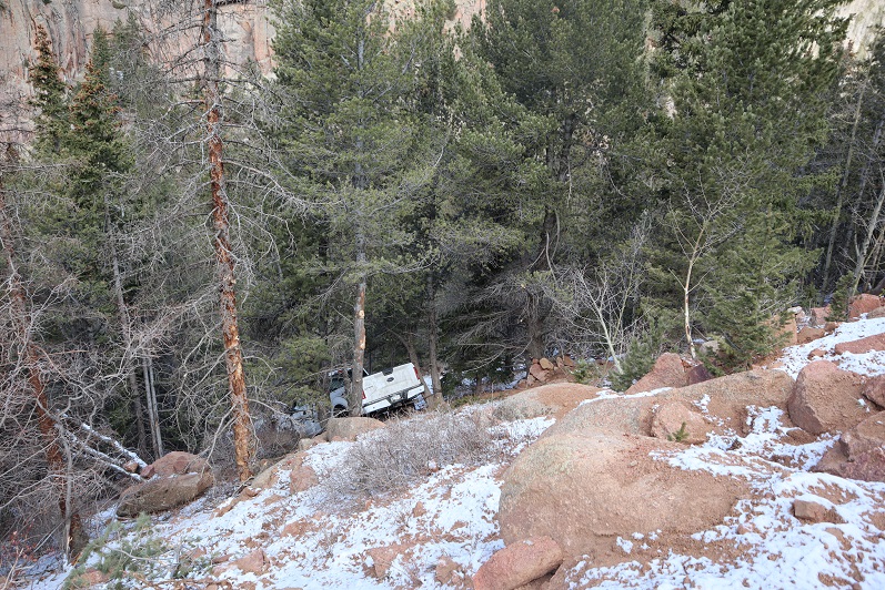
Oh, and that truck that was off the side of the road last week? It’s still there…

35

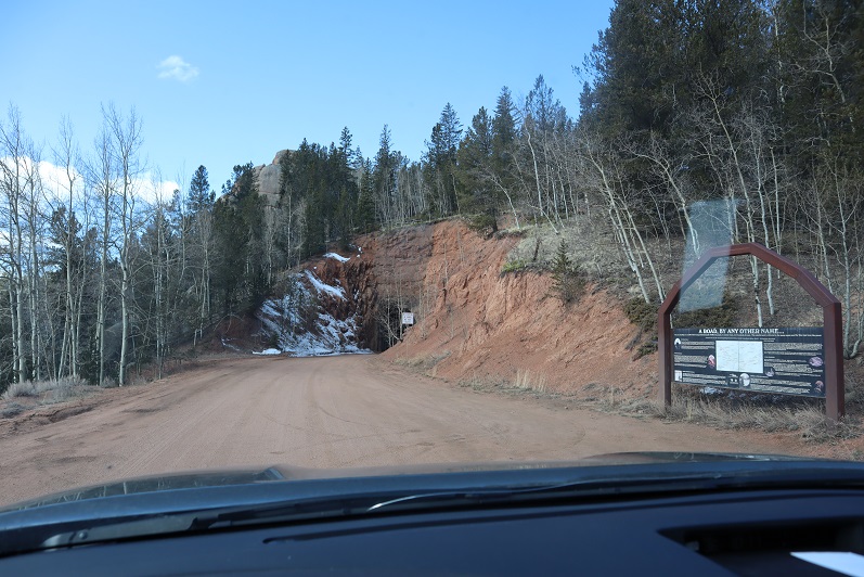
We were now on our way to Cow Mountain. This took us further down Old Stage Road, and through a tunnel.

36

37
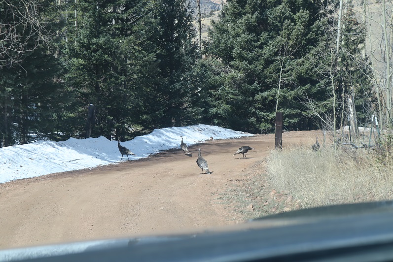
Unfortunately, we met up with some unanticipated locked gates and private property, so we had to change our plans. Scott’s Ranch blocked our drive with a locked gate. On the positive side, we saw a flock of turkeys

38

Mt Rosa – 11,499 and Rain Benchmark – 11,310

1
RT Length: 6.5 miles
Elevation Gain: 2520’
Thinking this would be an easy hike I got up at 2am and worked out on the treadmill for a while before heading over to Steffens house at 4am. His truck is lifted and we wanted to see how it handled as compared to mine on the 4WD dirt road (pretty similar actually). We started from Frosty Park, the same place we began last week. Rain was predicted by 1pm so we wanted to be on the trail early. We started at 6am when it was just light enough not to need flashlights, crossing a fence and hiking east along a faint trail.

2

I was immediately a bit upset, as one of my microspikes had broken. I could still wear the spike, but the chain was loose and it made an irritating clanking sound every time my foot hit the ground. Mental note: get new spikes before my next hike.
We turned right onto trail 672 and began retrenching an old trench, following the mountainside and losing elevation as we went.

3

4

5

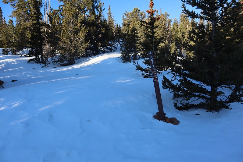
After 1.5 miles of hiking we turned right (south) onto 673 and encountered a lot of snow.

6

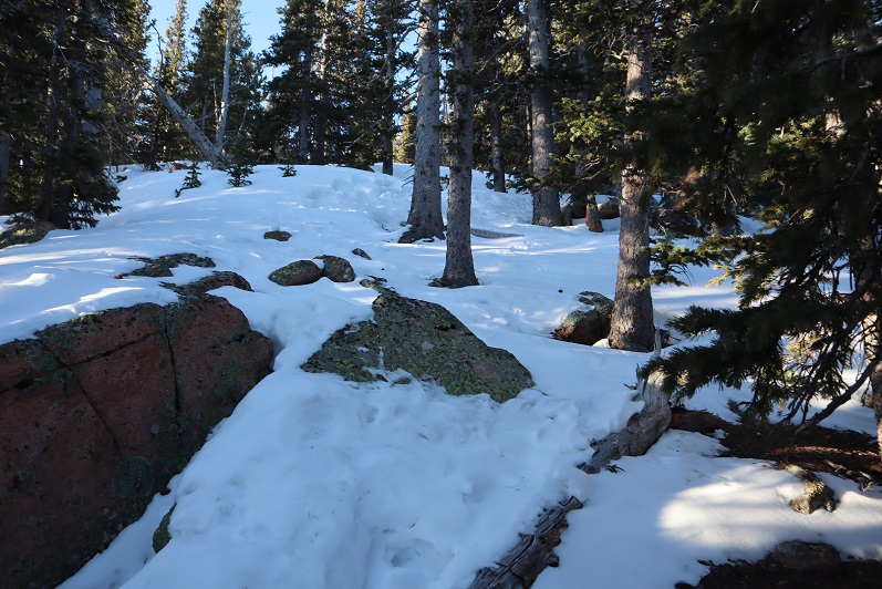
In some places an old trench was visible so we tried to follow that whenever possible, but at other times we just made a new trench. Snowshoes weren’t needed this early in the morning.

7

8

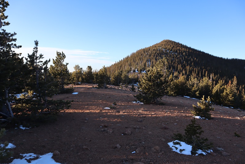
There was a windswept area

9

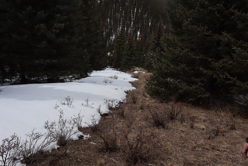
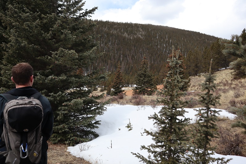
And then more snow.

10

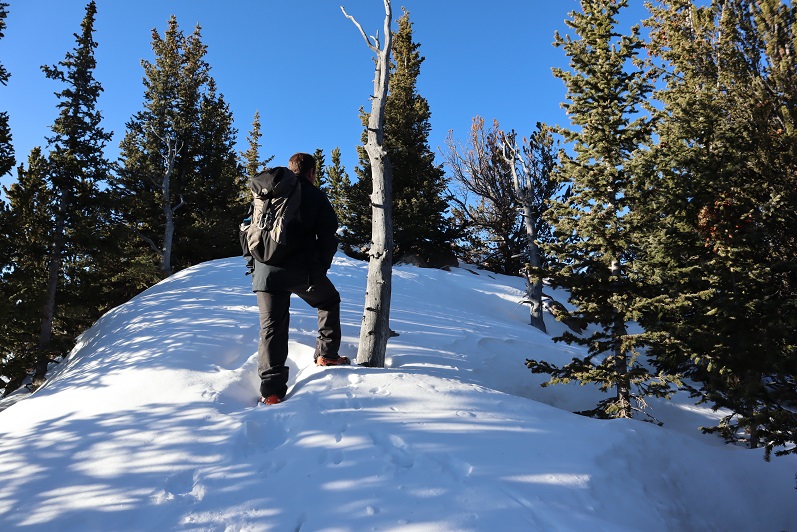
Last time I summited Mt Rosa I summited from the south side (same trail at this point) but this time the trail wasn’t visible, so we just went straight up the north side of the mountain

11

12

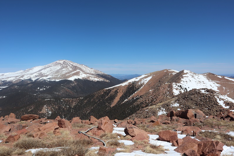
The summit was windswept and clear.

13

We took a summit shot and stayed for a few minutes, since it was such a nice day

14

There was no summit register so we left one, and built up the summit cairn while we were at it.

15

Mt Rosa:

Heading back down was a breeze, as we just followed our previous tracks

16

17

18

19

20

Ok, time for the next peak. It takes so long to drive out here and the summits are so short it’s worth it to try to get multiple peaks in in a day. We drove back down 379, noticing there weren’t nearly as many people out as there had been last week. We only passed 1 vehicle, and last time we’d passed dozens.

21

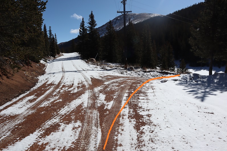
Turned right onto Old Stage Road, we then followed the road for a few miles to 376, turned right again, and drove for 1.9 miles before parking on the side of the road.

22

We started out by bushwhacking east, following a gully up the mountainside.

23

This gully had more snow than we’d anticipated, so we stayed to the left of it. There was a little bit of snow here, and a lot of fallen trees.

24

We made it to about 10250’ and decided to cut across the mountain and head southeast towards the saddle. Once again, no trail, and lots of downed trees. We came across another gully that led towards the saddle and decided to mark our exit so we’d know how to make our way back. We found this cool root that looked like a bighorn sheep skull and used that to mark our place.

25

We continued east up the gully on what kind of looked like a trail

26

Things changed when we hit the saddle: snowshoes became necessary

27

We donned our snowshoes (thank you Steffen for fixing mine!) and started up the ridge that led to the summit.

28

The snow just seemed to get thicker and thicker the further we went, and several times I thought we’d need to turn back, but we just zig-zagged our tracks and kept pressing forward.

29

To the right of the snow is a rocky area. The summit is at the southwest point

30

31

And check this out: there was a summit marker AND two summit registers!

32

Unfortunately, the views of Pikes and Almagre were interrupted by trees

33

The clouds were forming quickly so we didn’t stay too long on the summit. The snow was helpful on our way back, as we just followed our tracks back to the saddle

34

And then we followed our makeshift bighorn sheep cairn across the mountainside and back down the gully. There was less snow here, and we were surprised every so often to find our tracks!

35

Following the first gully back down was easy: we just stayed to the right of the snow

36

This led us back to the road and Steffen’s truck.

37

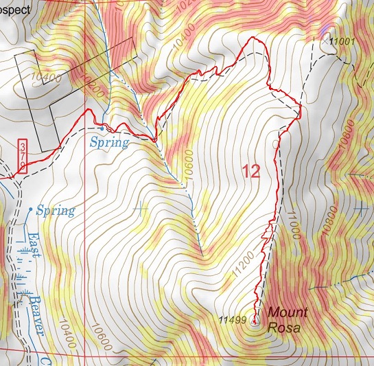
Here are the topo maps for the hikes
Rosa:

38

Rain Benchmark:

39

I’m not quite sure on the time for this hike, and to be honest, I wasn’t really paying attention because about halfway back to Old Stage Road we were stopped due to a tow truck blocking the road.

40

We parked the truck and got out to see what was going on. Apparently someone was driving too fast on the dirt road last night; his truck launched and hit trees before going over the edge and landing in the creek. Check out how high those tree marks are!!! The driver was alone and miraculously unhurt. He spent the night in his vehicle and climbed for help this morning. We hadn’t come across him because we’d decided to hike Rosa first.

41
We sat and watched them try to remove the truck for about half an hour.

Eventually they decided their tow truck wasn’t large enough and they’d need to come back with a bigger vehicle. Stay safe out there driving my friends!

Almagre Mountain – 12,367 and South Almagre Mountain – 12,349

1

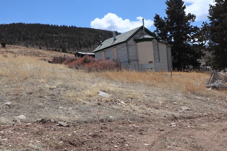
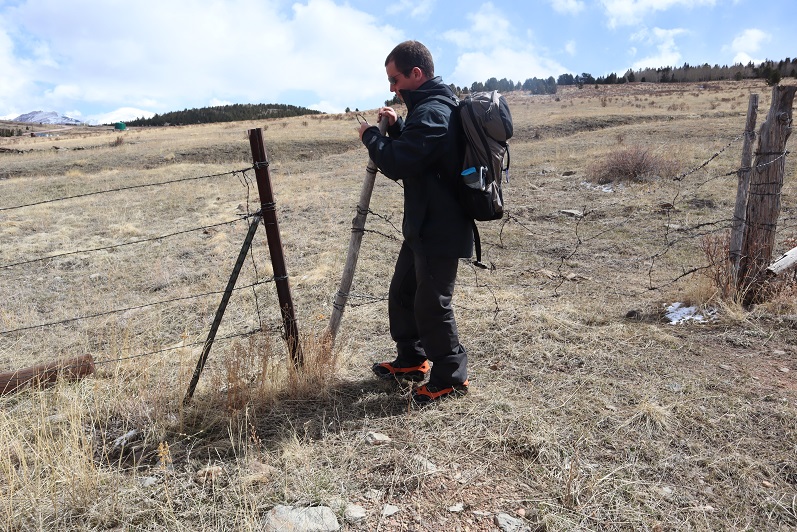
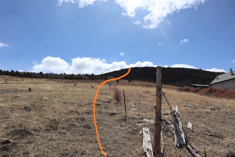
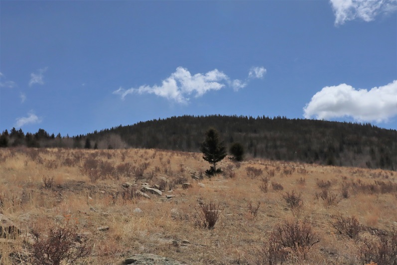
RT Length: 14.5 miles
Elevation Gain: 2936’

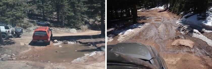
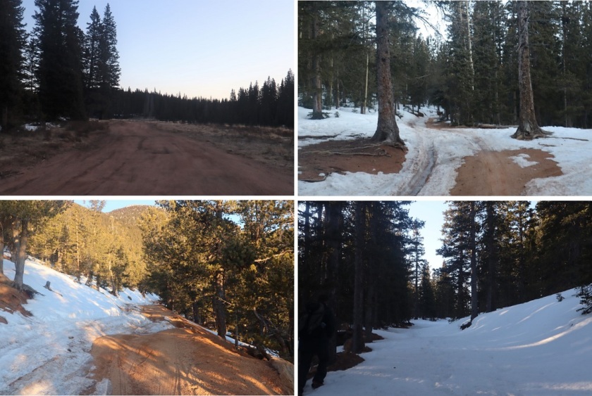
Oh, Old Stage Road, where the speed limit is 20mph but you can’t go above 5mph because the road is so full of potholes. Old Stage Road is a 2WD dirt road connecting Colorado Springs with Cripple Creek, and as of late is becoming increasingly difficult to drive. OK, not difficult if you drive slow, but then it takes forever! We made it to Old Stage Road at 5am and didn’t make it to the trailhead (Frosty Park) for over another hour. The last part (after turning onto 379) was very much 4WD, and fun to drive! There was snow and ice on the trail, and a few deep puddles to navigate.

2

Eventually I came to a place where there was a layer of snow/ice on the road that I didn’t want to navigate with my truck, so I parked a third of a mile before the trailhead and decided to walk the rest of the way. This was an easy walk along the 379 dirt road, and in fact, we stayed on 379 for 3.5 more miles

3

The road conditions varied greatly, but after the first mile snow was present along the entire route. The road followed the Ring the Peak Trail to Deer Park

4

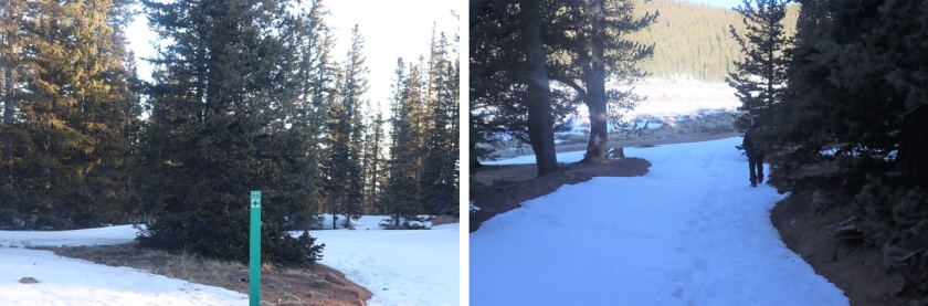
At Deer Park we left the Ring the Peak trail and turned right onto 379A

5

We continued to follow the road, steadily gaining in elevation

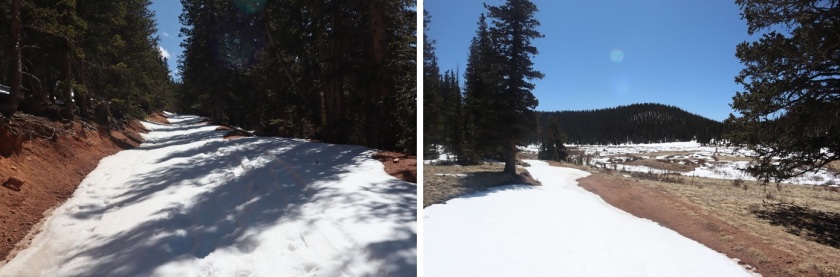
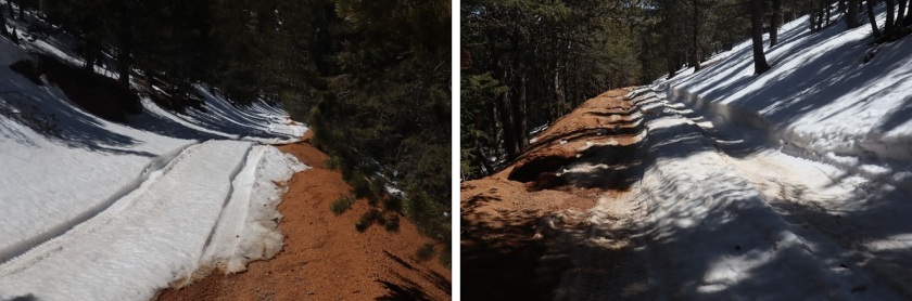
6

Snowshoes would have been a good idea, but we were too stubborn to put them on.

7

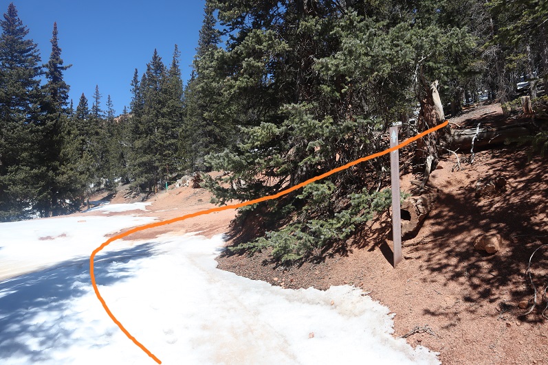
After 5.25 miles we came to a locked gate and skirted around it

8

This brought us to the defunct Stratton Reservoir.

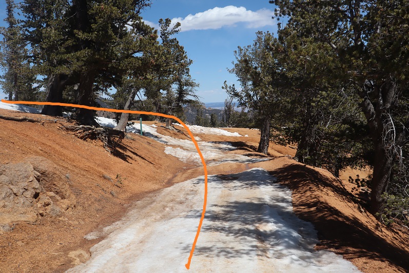
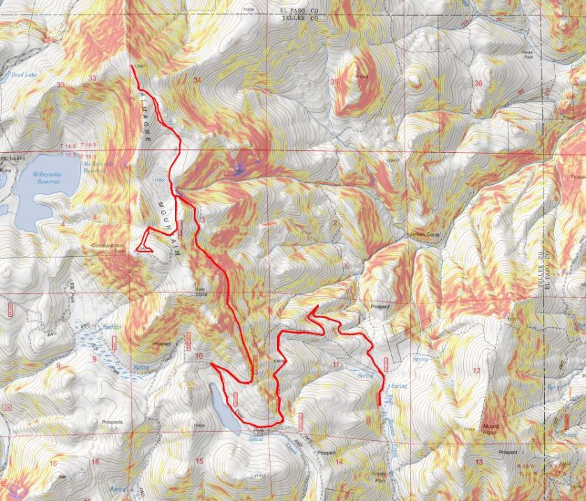
9
It’s hard to imagine this reservoir ever held much water. Almagre is to the north of the reservoir. Here’s the path we took

10

Stopping to get a shadowselfie on the reservoir

11
Following the road up to the saddle

12

13

And then heading northwest to the summit

14

There was a lot of wind here, and firm snow we were able to easily navigate with just microspikes

15

16

We summited at 9:40am to quite a bit of wind

17

18

There was no summit register, so we decided to leave one we’d brought, crouching down behind the solar panels to get out of the wind

19

The wind was a bitter cold so we didn’t stay long on the summit. We made our way back to the saddle

20

And got a good view of South Almagre Mountain (the microwave towers)

21

We headed back the way we came

22

And only stopped for a bit to re-apply sunscreen. Then we were starting the ascent of South Almagre. While we simply followed the road, the road was covered in snow/ice and was a bit tricky in places. I went first to kick in steps

23

The road didn’t look passable after the first set of switchbacks, so we decided to just head up this wall of snow and straight towards the microwave towers

24

25
As we neared the towers we heard talking, which was confusing since we’d made our own tracks and hadn’t seen anyone all day. Turns out there were some workers up in the towers adding connectivity and network bandwith due to increased demand during the Coronavirus.

26

They’d tried to take the road we hiked in but their vehicle wouldn’t make it, so they instead turned around and hiked in from Elk Park. This is the initial way I’d summited Almagre a few years ago.

Being at the top of South Almagre we weren’t sure if we were indeed at the highpoint. Looking directly east seemed to be just as high (or higher) than the point we were at now, so we decided to traverse over to this pile of rocks

27

While it was fun scrambling, our altimeter showed this area was actually 10 feet lower than the towers had been.

28

29

Satisfied, we decided to head back, following the route we’d come in

30
The snow section below the towers was a little steep, but we’d done a good job kicking in steps

31

32

We followed the road back to the gate

33

And with the increased temperatures were a little worried about avalanche danger here

34

We gingerly crossed this area, and as soon as we were confident we were out of avalanche danger we put on our snowshoes for the long slog back down through snow, ice, and mud.

35
The snow on the roads was now mush, and once we got further down we started seeing tire tracks

36

37

And more and more and more vehicles. I started to get worried we wouldn’t be able to drive out on this road because so many people were driving in.

We made it back to the truck at 2:30pm, making this a 14.5 mile hike with 2936’ of elevation gain in 8 hours. I have to say, the hike felt shorter with more elevation gain, but that may be because I was tired from my hike the day before.

38

I decided to follow a few vehicles back to Old Stage Road, and this ended up being a fabulous idea: There were dozens of vehicles in the half mile back to the road all trying to go the opposite way. I applaud them for social distancing and still getting outdoors!

39

Horn Peak – 13,450

1
RT Length: 9.5 miles
Elevation Gain: 4600’
After binge watching Stranger Things this week I was a little worried about hiking alone for miles in the dark but decided to go for it anyway. It was snowing at the trailhead but I could see stars in the sky so I figured the snow wouldn’t last long. I arrived at the trailhead at 5:15am and was on the trail by 5:30am. The parking lot was empty when I arrived (two other vehicles were there when I got back.

2

It was apparent after the first 20 feet or so I wasn’t going to be spooked hiking solo in the dark. I’ve done this hundreds of times before and still felt comfortable. In fact, I was a little upset I hadn’t started earlier. From the parking area I walked west to the Rainbow Trail

3

At the Rainbow Trail I turned right and headed northwest for 8/10 of a mile

4

The trail here was covered in fallen trees and snow, but was still manageable

5

I crossed dry creek (yes, it was dry) and continued to just past a meadow,

6

before turning left onto an unnamed trail that would lead me to the summit of Horn Peak.

7

Right about now the sun was starting to rise, and I got my only scare of the day: I heard a strange noise coming from behind me to the left and jumped a bit before realizing it was a turkey gobbling. Must have been because day was breaking. I saw some turkey tracks here too

8

I followed this new trail southwest to a trail register

9

10

Signed the register and was on my way. The trail was easy to follow, but kept going up, up, up for about a mile and a half

11
The snow here was soft, and I could tell I’d need my snowshoes on my return. I got my first view of Horn Peak and saw it had a light dusting of snow

12

I was able to wear microspikes until I came to the gully that crosses over from one side of the mountain to the other. Here I donned my snowshoes to traverse the small gully. I’m not sure I could have made it without them

13

Once past the gully the trail conditions kept changing. The trail could be dry, covered in snow, or a mixture of both. I kept my snowshoes on, even when unnecessary.

14

I made it to the ridge after hiking 3.3 miles

15

Here I turned left and followed the ridge to treeline.

16

I saw 5 or 6 ptarmigans and some ptarmigan tracks. The birds were quick to fly away when I startled them, so no pictures of the actual birds. I was surprised the ptarmigans were already brown, figuring they’d still be in their winter whites

17

There was an old trench I re-trenched to treeline, which was slow going but it was nice not to need to route find.

18

19

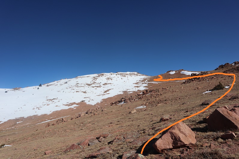
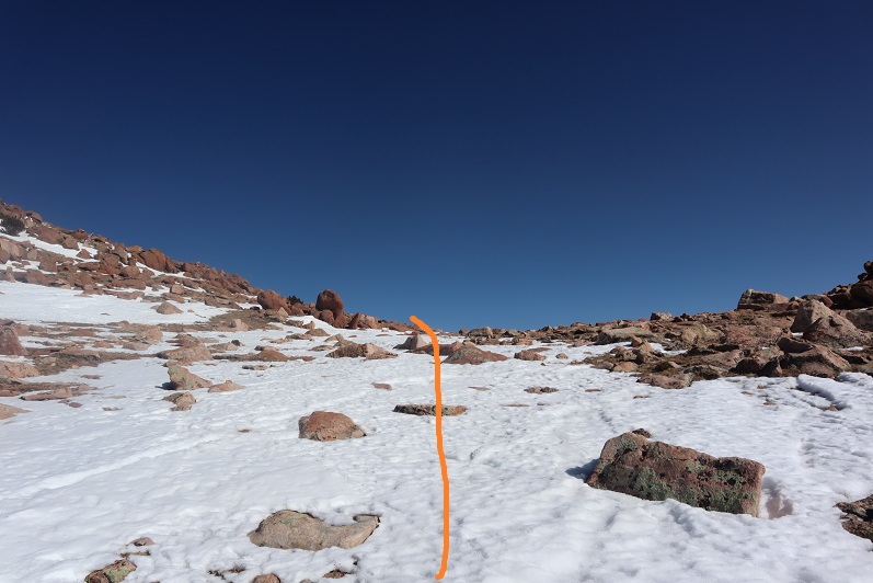
At treeline I stopped to take off my snowshoes, as I could see they wouldn’t be needed for the rest of the hike to the summit. Here’s the route I took to point 12665

20

It’s actually much steeper than it looks

21

Once at point 12665 I turned left and started hiking the rest of the ridge to the summit

22

About halfway along this ridge I saw some bighorn sheep. I noticed them before they saw me, so I got to see them startle when they saw me. They jumped a bit, and then walked away. Here’s one of the younger ones

23

Bighorn Sheep

At about this time I started keeping a close eye on the weather. Clouds were forming around 13K. Not big clouds, but it was supposed to snow after 3pm and the clouds seemed to be forming pretty fast. It was neat to be eye level with them

24

The ridge was full of loose rocks the size of toaster ovens so I was careful with my foot placement

25

In no time at all I found myself at the summit!

26

Here I saw the Bighorn Sheep again

27

The views of the Crestones were absolutely amazing!!!

28

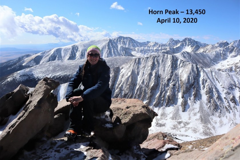
Here’s my summit photo

29
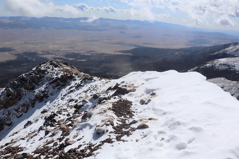
Summit Views

I wanted to stay on the summit forever! There was no wind, the weather was perfect, and the views were amazing. It wasn’t lost on me how lucky I was to be here right now. But, watching the clouds forming I realized I should get going, so I turned to head back down the mountain

30

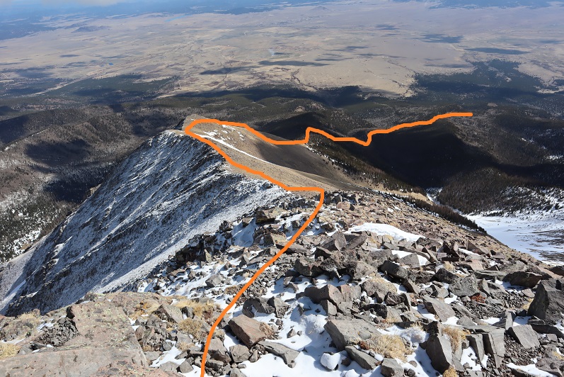
Here’s the route I took back down the ridge

31

Point 12665

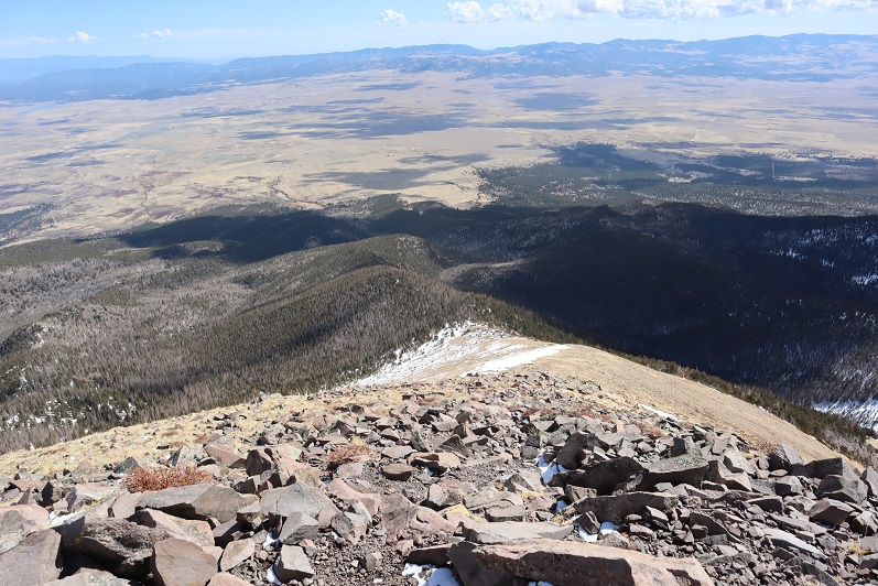
32

And the ridge back to treeline

33

I could see a small grass fire starting in the distance. I think they put it out quickly because I saw a fire engine leaving the site on my way back

34

Once back below treeline I put on my snowshoes. The snow was indeed soft and progress was slow going as I kept postholing in slush. On the positive side I could follow my previous tracks when there was snow, and the trail when there wasn’t

35

36

37

38

I kept watching as the sky kept getting darker and darker, and then as little snow flurries began to fall. Hmmmm. It wasn’t yet 1pm and it wasn’t supposed to snow until after 3pm. I was glad I’d left the summit when I did, as it was now covered in snow filled clouds. I made my way back to the trail register and signed myself out. Then headed right (southeast) on the Rainbow Trail

39

40

I made it back to my truck at 1:30pm, making this a 9.5 mile hike with 4600’ of elevation gain in 8 hours. Slow going, I know, but that’s a lot of elevation gain for such a short distance!

41

For those interested, here’s the path I took

42

Disclaimer: Due to Covid-19 concerns, before attempting this hike I contacted the County Sheriffs department to see if I could hike in the area. In fact, I contacted several different counties, and when they told me their trails/cities were closed I just went on down the line, looking for an open place to hike. I was told by this county the trails and trailheads were open but they weren’t openly endorsing/encouraging people to hike. I was asked to not stop in town for gas/food/etc. and was notified the bathrooms would be locked (as they usually are this time of year) and if I was in need of rescue it would take extra time for SAR to be deployed. I was ok with all of these stipulations and decided to hike. I didn’t see another person all day and was glad I’d made the decision to head to the high country.