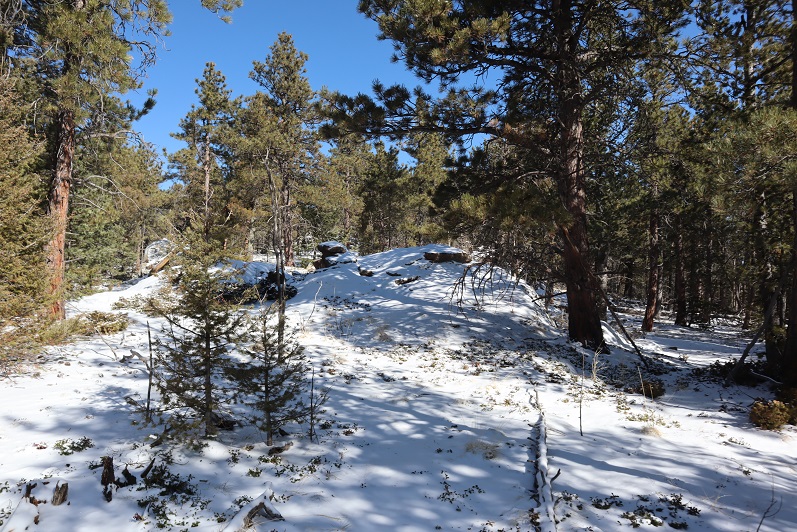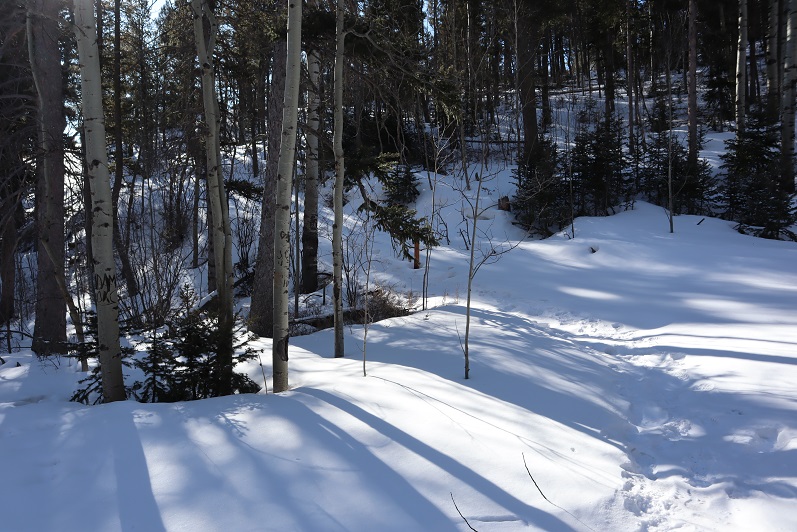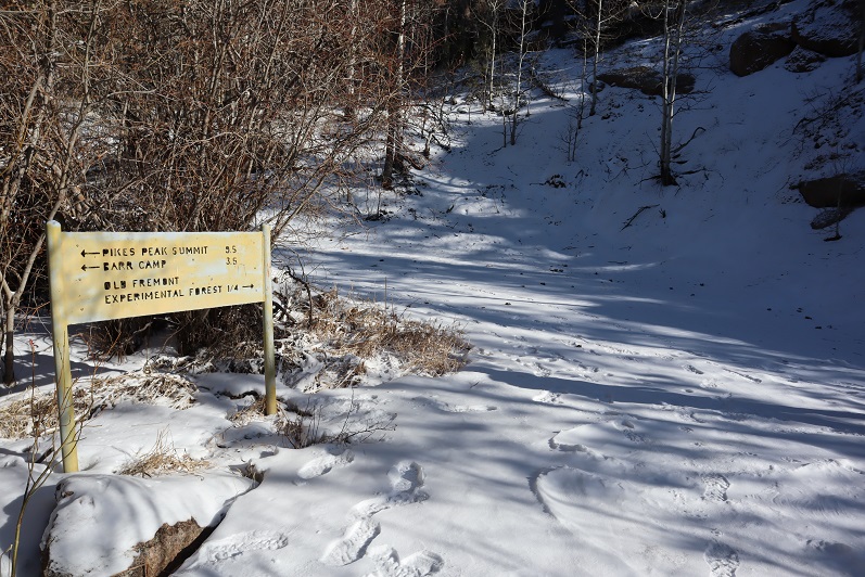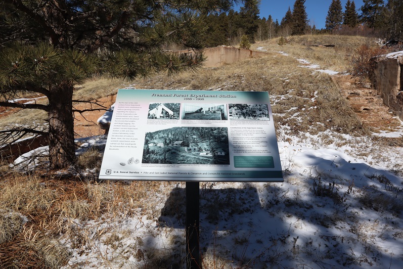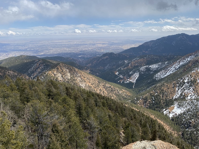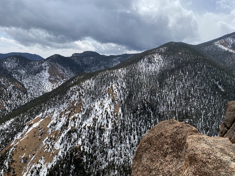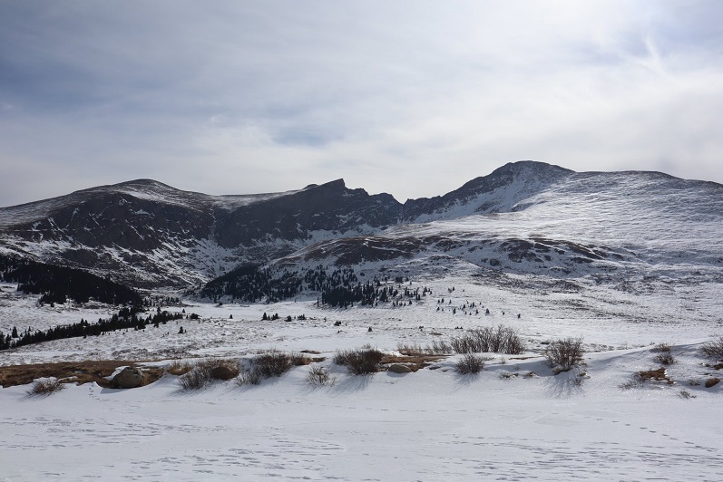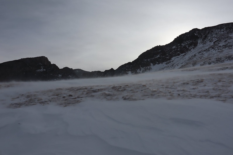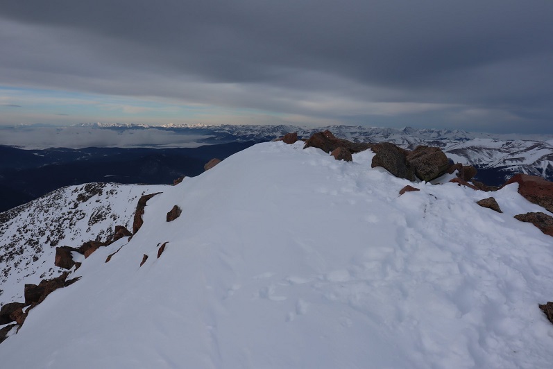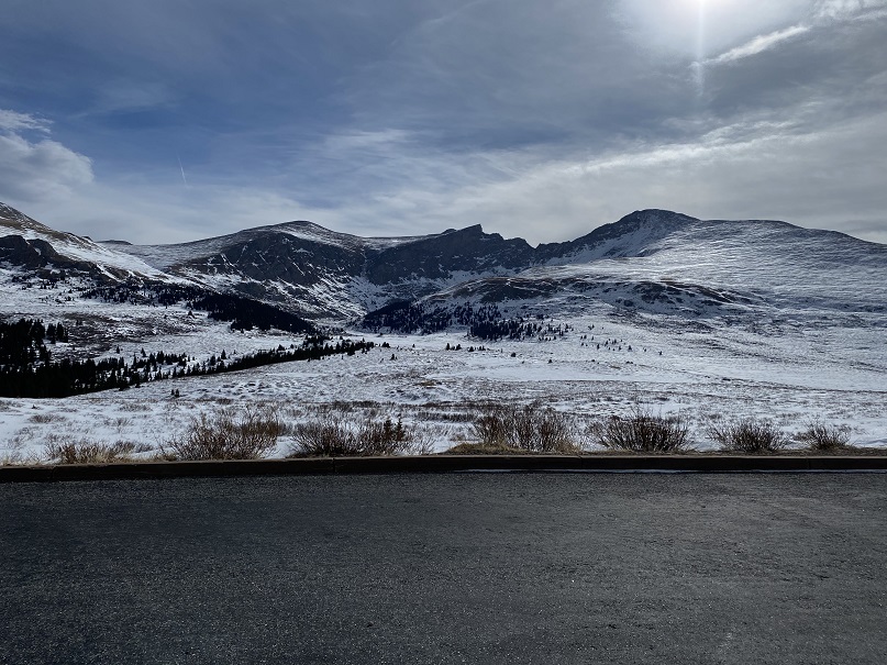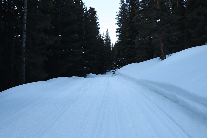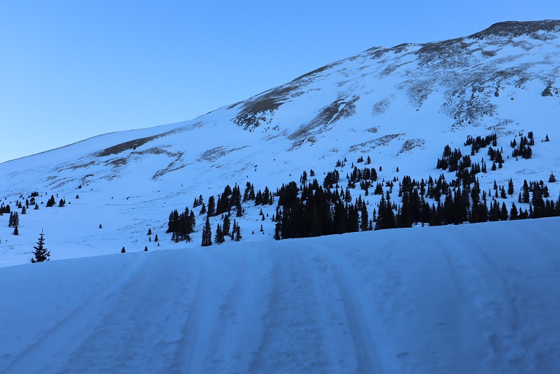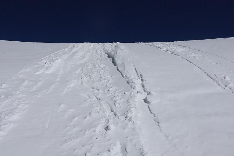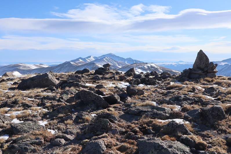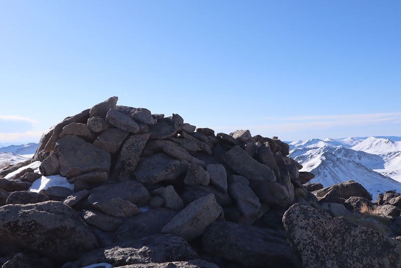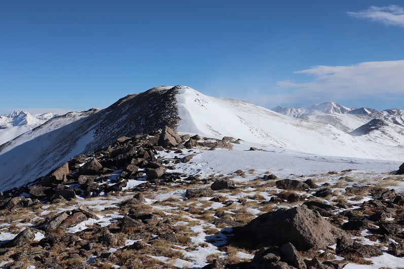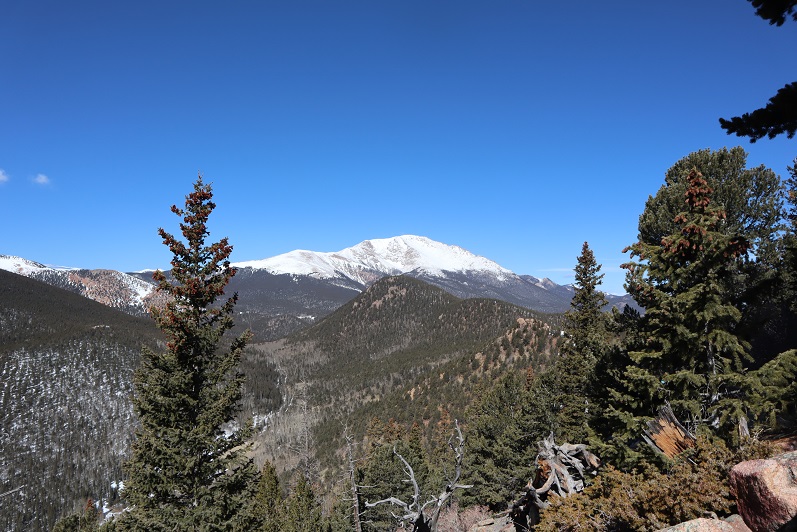
Tuckaway Mountain – 10,820

1
RT Length: 12.5 miles
Elevation Gain: 4220’
Partner: Steffen

Third time’s a charm! For so many reasons…

I’ve attempted this peak on 2 other occasions. One time a few years ago I thought I’d summited (more on that later) and last week I turned around due to deteriorating snow conditions. Today I’m glad to say I had a successful summit!

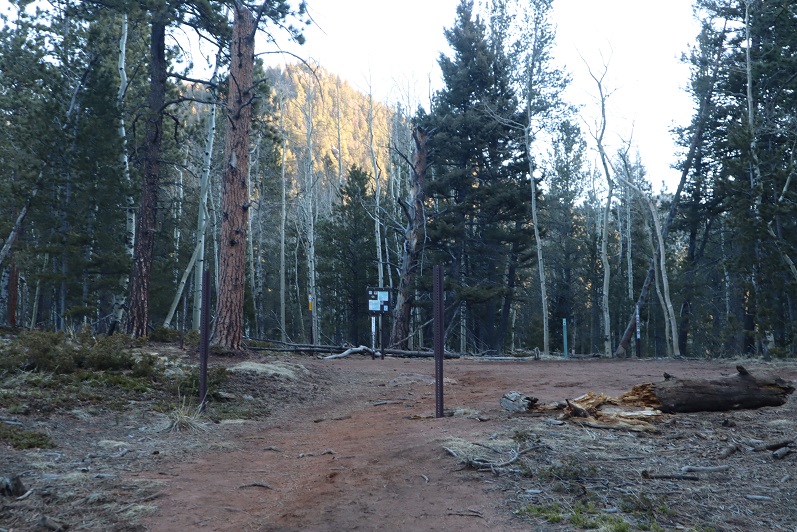
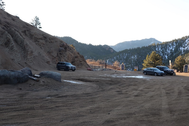
I drove to Steffen’s house at 4:30am and we made it to the North Cheyenne Mountain gate by 5am, but unfortunately, the gate was locked. I guess it didn’t open until 6am? Oh well, we had a plan B, so we drive down Old Stage road for about 45 minutes, intent on Frosty’s Park and hiking Mt Rosa or Almaghre (or both). About 5 minutes from making it to the trailhead Steffen realized he’d forgotten his hiking boots. Drat! We would have to drive back and get them. As I said, third times a charm, and we arrived at the (now open) North Cheyenne Canyon Trailhead at 7am and were on the trail by 7:20am. It was already light out and I had serious doubts we’d summit today due to warm snow, but at least we’d get in a good hike.
2
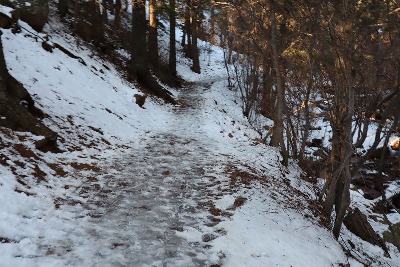
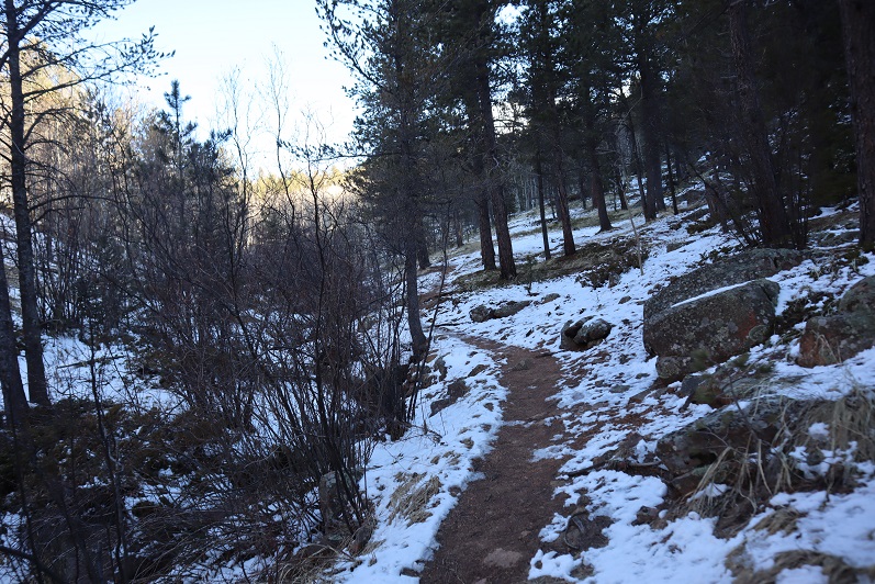
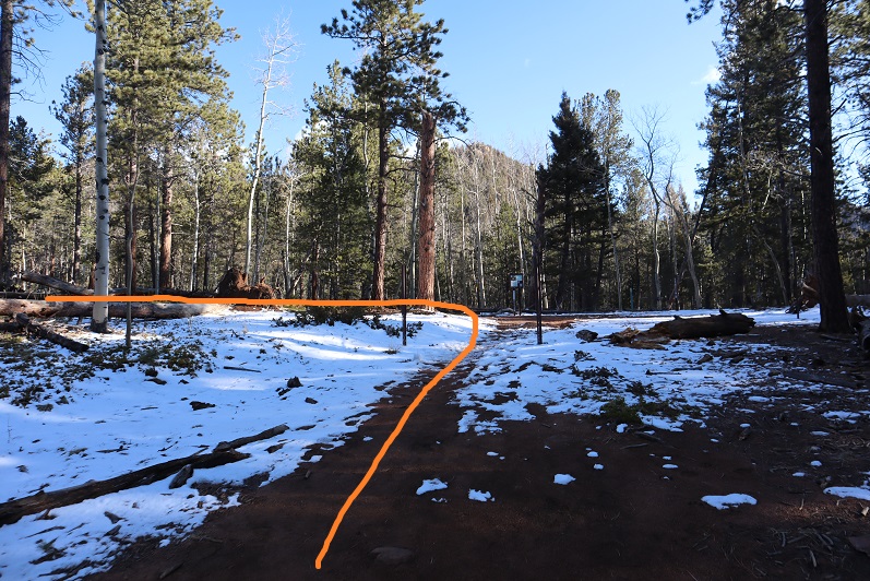
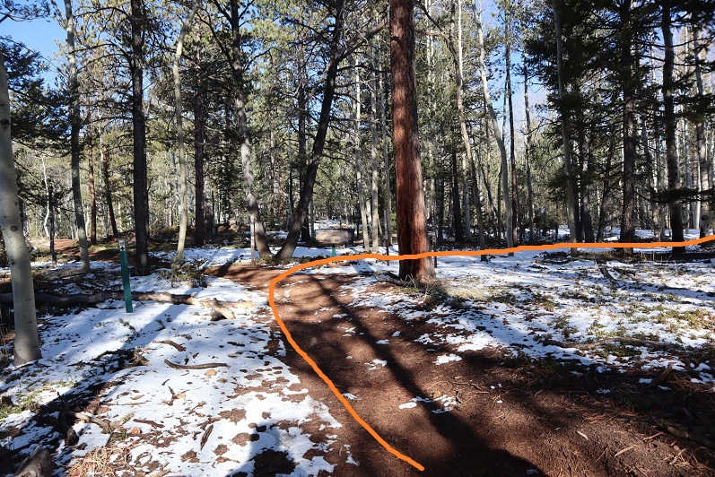
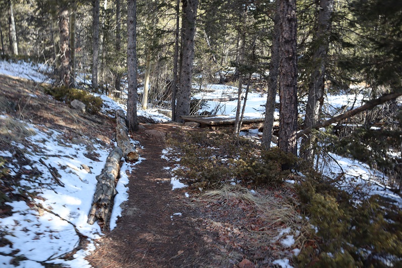
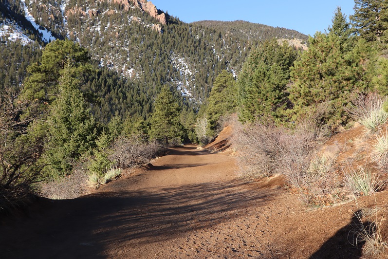
We wore our microspikes the entire way, even though they weren’t always needed. I’ve done this hike several times, so I won’t go into a detailed description of the route to Loud’s Cabin, but you can find it here

I basically took the 7 Bridges Trail (622) to 677 to 622A to Loud’s Cabin. Here are the pictures:
3

4

5

6

7

8

9

10

11

12

13

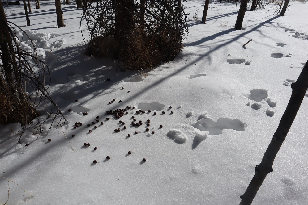
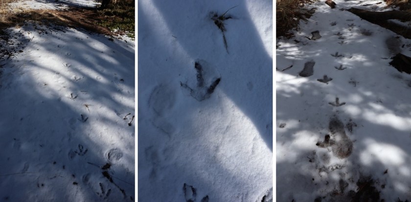
Along the way we saw some curious tracks in the snow. They were about 5-6 inches long and distanced about a foot to a foot and a half apart. It took us a while to figure out they were turkey tracks. It would have been much cooler had they been emu or velociraptor tracks or something, as they seemed too big to be turkey tracks…
14

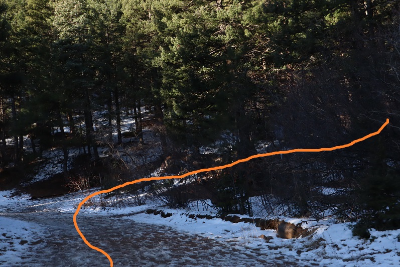
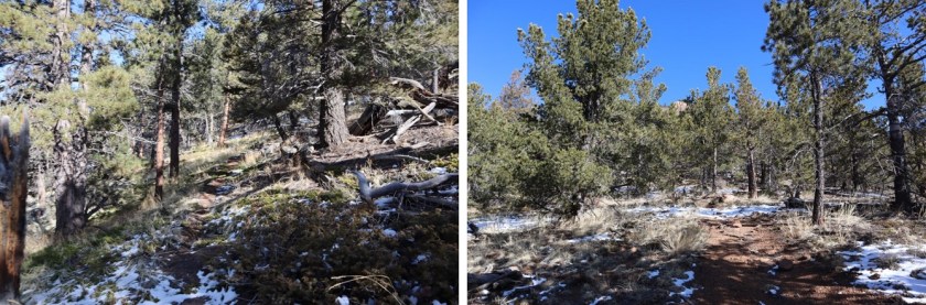
Once at Loud’s Cabin things once again got tricky. I’d made a GPX file from CalTopo with the way we were supposed to go, but the trails were no longer there. We decided to ascend the hill above the cabin and head west. It became apparent almost immediately we were on the wrong ‘trail’ but we were on a trail and headed in the right direction and felt committed… until it ended.
15

I noticed a few cairns so we followed them for a bit until they ended as well. I’m guessing the cairns were indicating an alternate route up Mt Garfield.
16

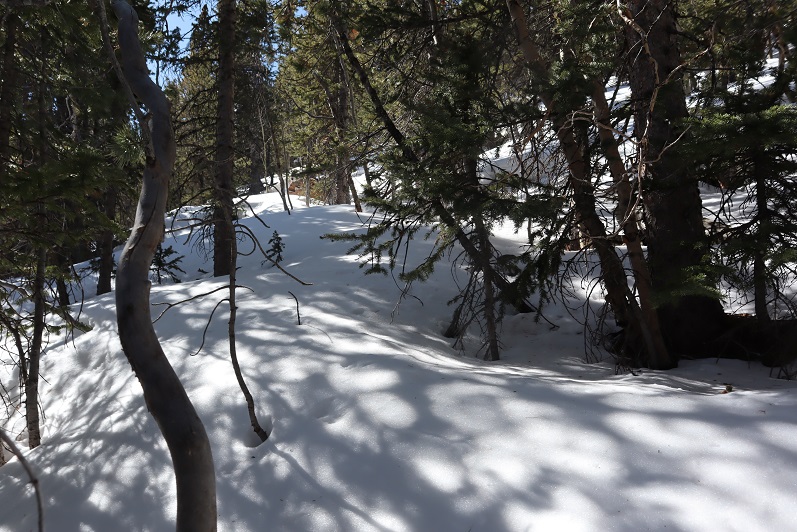
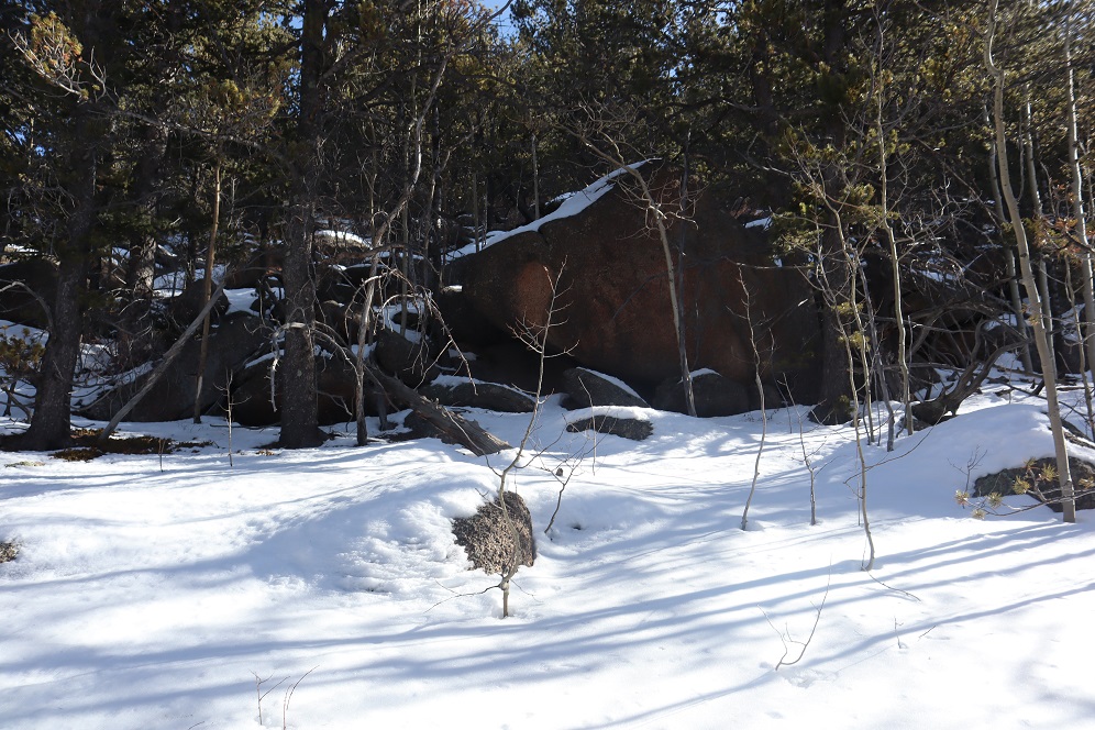
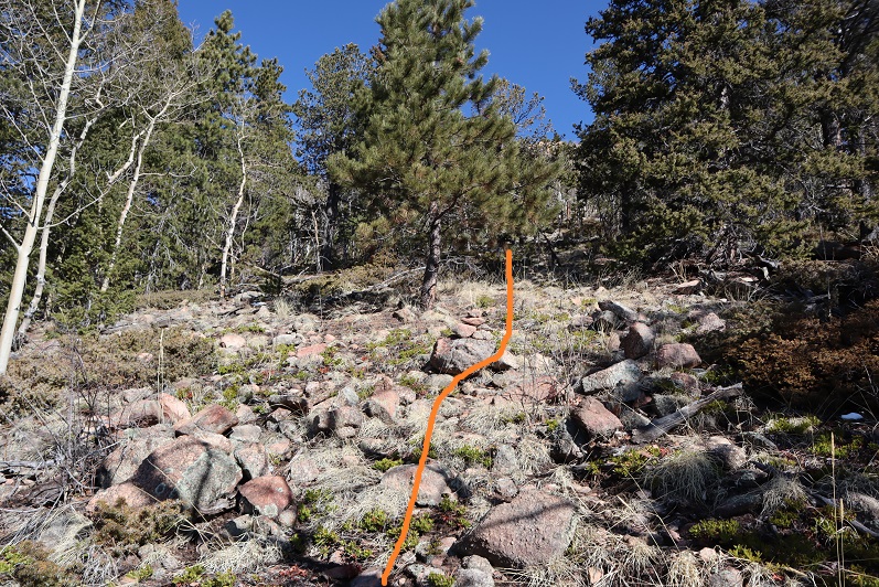
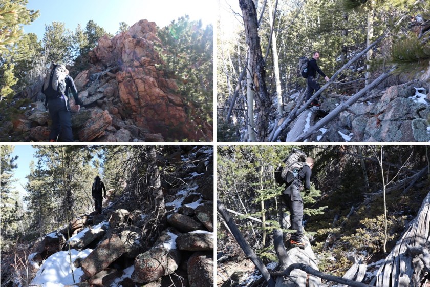
We weren’t interested in hiking Mt Garfield today, so we left the cairns and aimed northwest along the side of the mountain, making our own trail as we went. This included some fun scrambling over rocks and fallen logs. Be careful: those rocks and logs move!
17

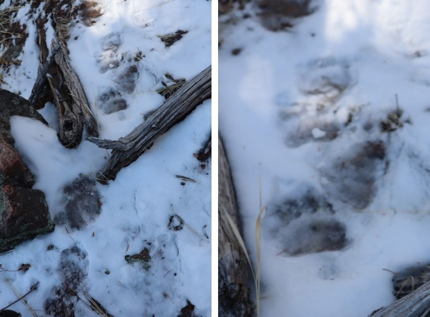
Also, here we saw the first near tracks of the season! I’m thinking mama and cub
18

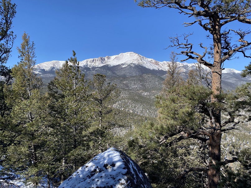
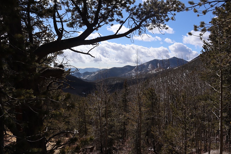
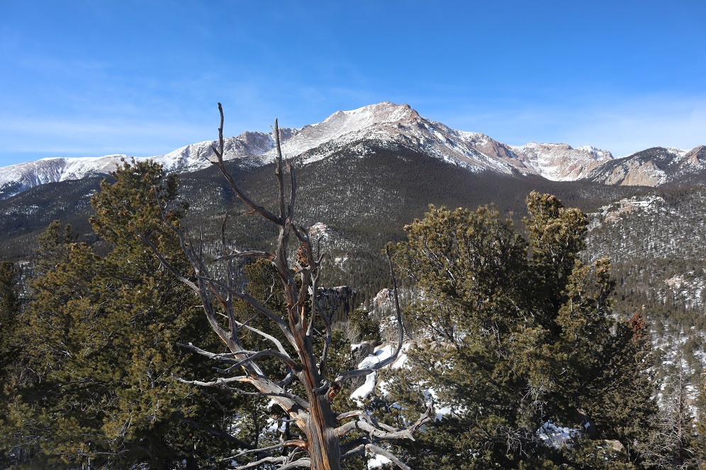
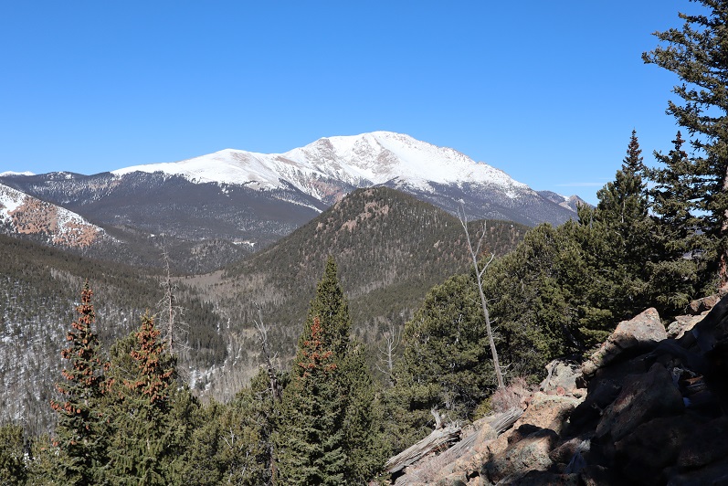
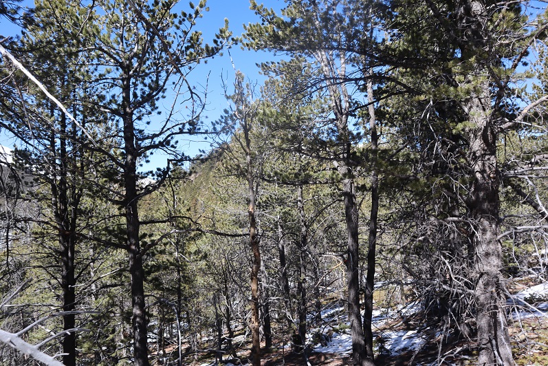
We had great views of Tuckaway when the trees cleared (which wasn’t that often). The frustrating part? We didn’t seem to be getting any closer. In fact, it felt like the mountain was always in the same place (well, it was, but we weren’t making much progress).
19

This was our view of Tuckaway most of the time
20

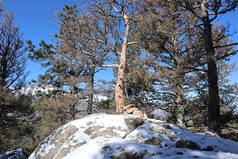
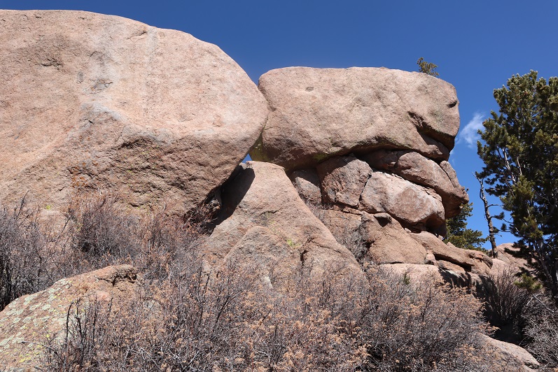
Finally we made it to the top of a rock formation at about 10,400’
21

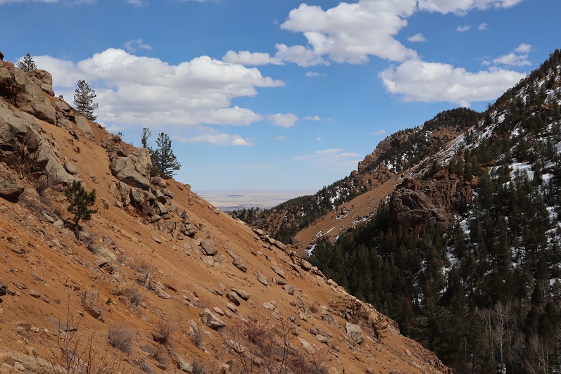
Here’s the view looking back at the way we’d circled Mt Garfield

22

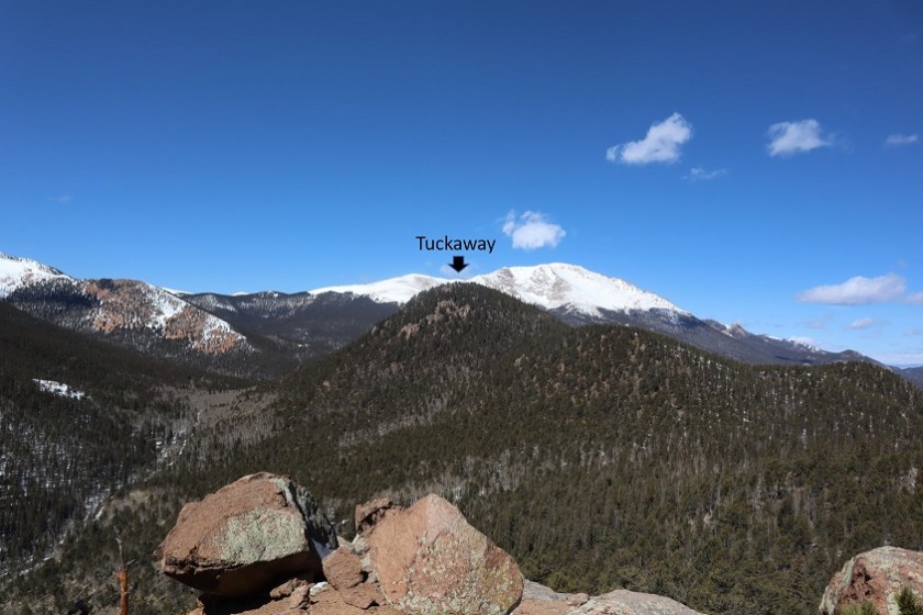
And a look at the route before us towards Tuckaway
23

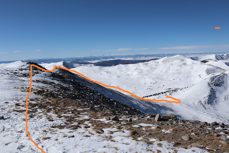
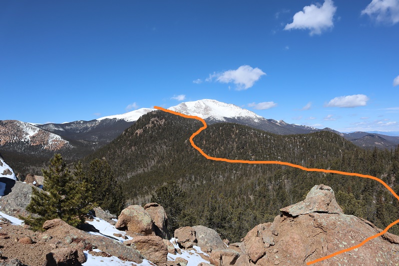
There were tons of ways we could have traversed over to Tuckaway, and we actually went back and forth while we were hiking as to the best way: there’s snow you cannot see in a lot of areas that would make certain routes lousy. We’d initially wanted to just hike across the ridge, but instead this is the path we took:
24

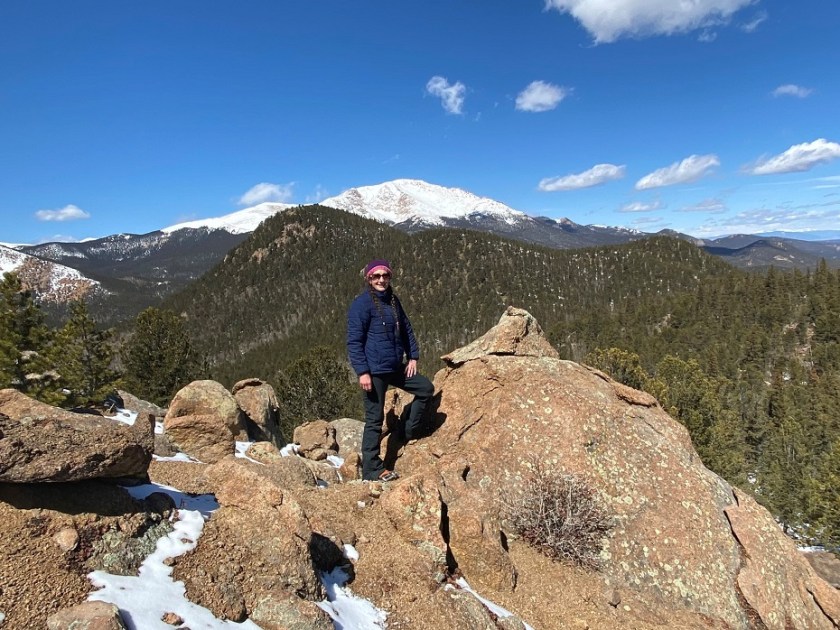
I got a picture because the view was great
25

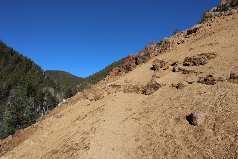
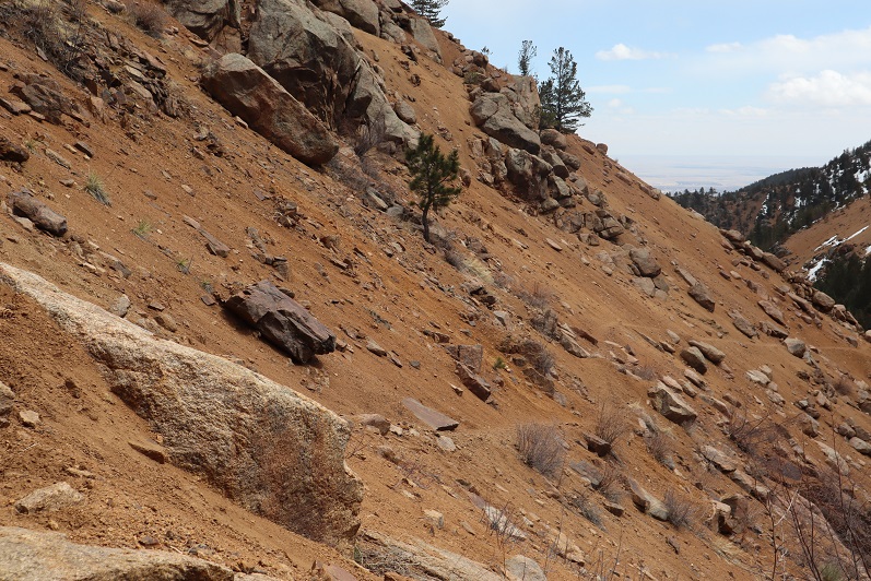
And we were off, deciding to initially descend this spot to the north (where we came across a mine not listed on the map), and then head west down some snow covered boulders. The scree here was really soft and felt a bit like quicksand.
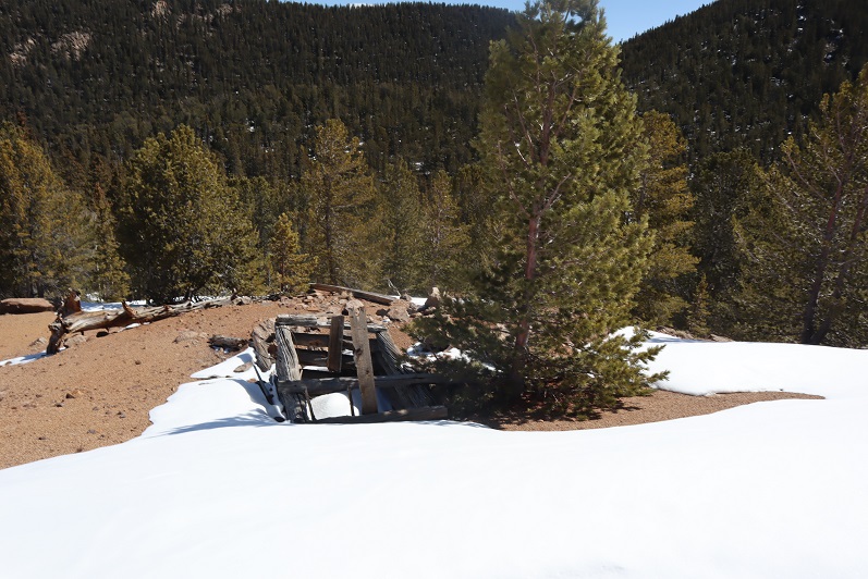
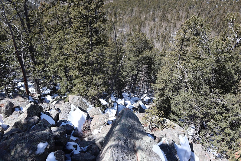
26

27

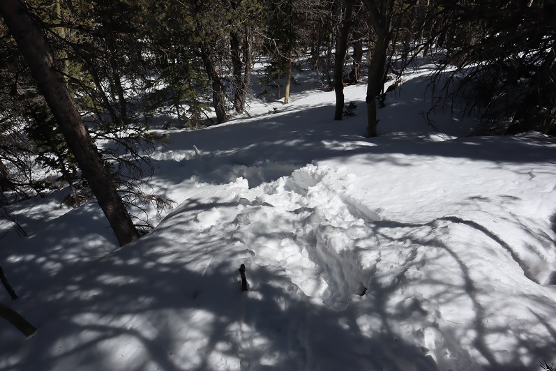
There are no great pictures here, as we were just in the trees headed towards the saddle just before Tuckaway. When we reached the saddle it was time to don our snowshoes. We trenched a trail from the saddle to the west and came across my tracks from last week.

28

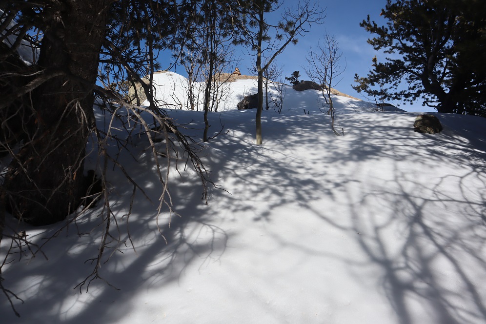
My tracks eventually ended and we had a time sinking up to our waist in the soft snow, but we were stubborn and took turns trenching: we could see the blue skies above indicating a ridge and were determined to summit today
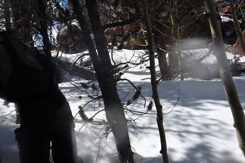
29
We made it to the ridge and to our immediate left was a cairn. This is where I’d stopped a few years ago, thinking this must be the summit (cairns like this usually indicate a summit).
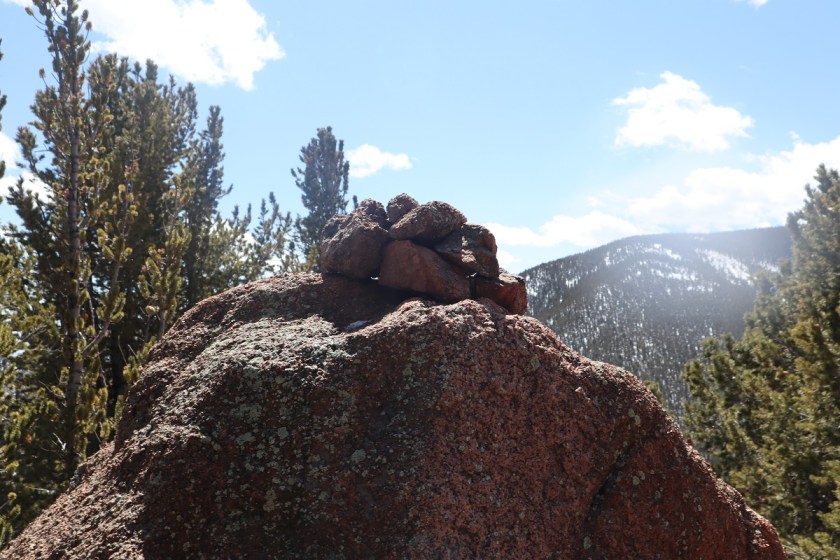
30
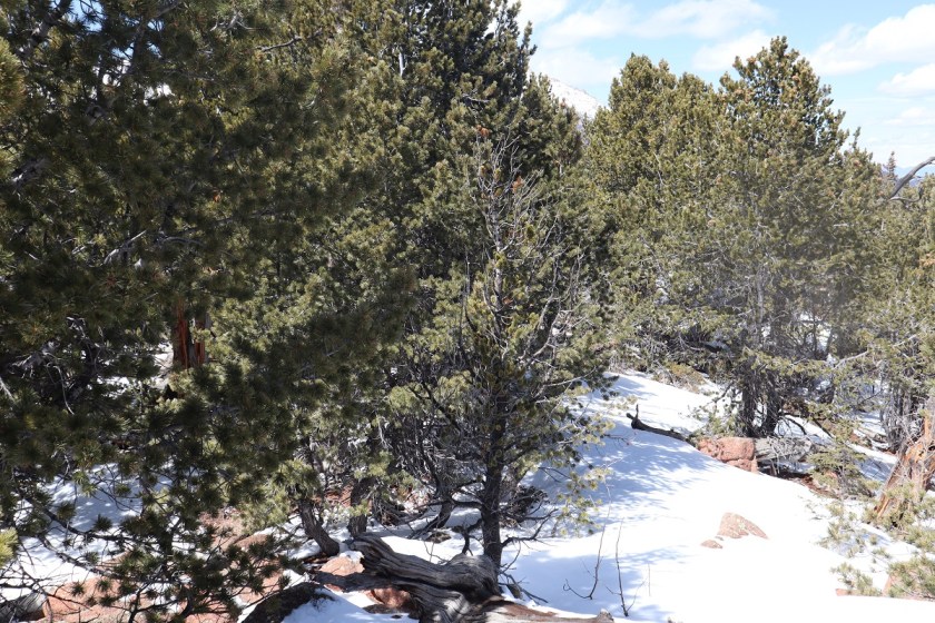
It certainly looked/felt like the summit, and indeed, from here you cannot see a higher spot. However, I’d had someone (not so nicely) comment on my blog that I hadn’t reached the true summit; that it was in fact further to the west. So today I was here (again) to see if he was right. We decided to follow the ridge west, through several feet of snow (I love snowshoes!!!) gaining and losing elevation as we went.
31

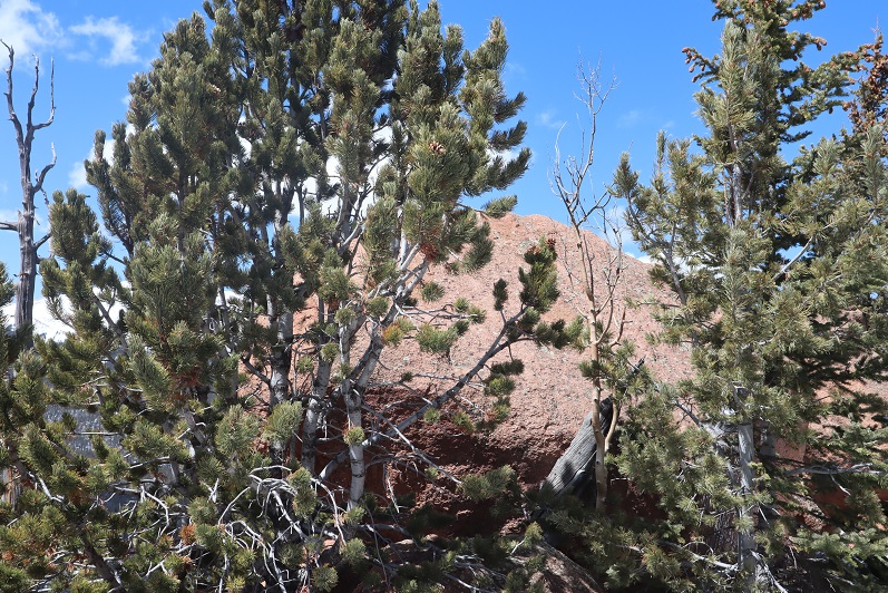
After about 2/10ths of a mile we came to a point I wasn’t convinced was higher than where we’d been before but was definitely the spot I’d seen in other one person’s picture as the summit. There was no summit register here either and no cairn indicating a summit.
32

We decided to climb the rock, which took careful footing and a leap of faith. Here’s Steffen heading back

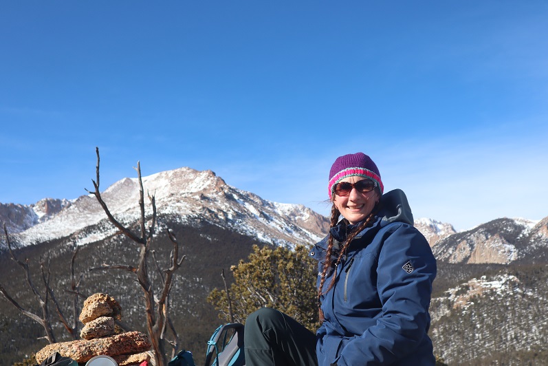
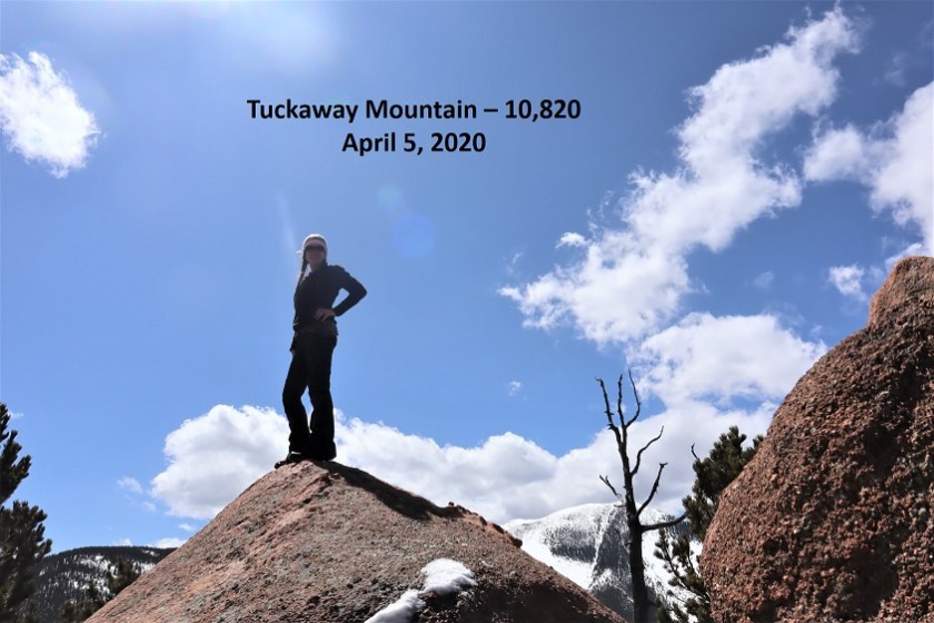
Here is my summit photo
33

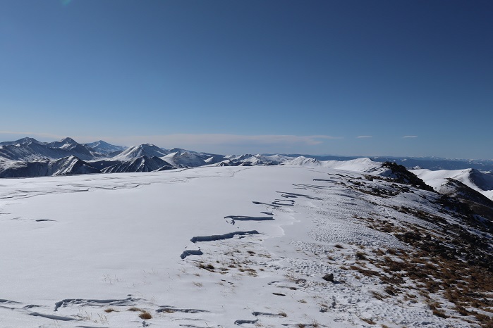
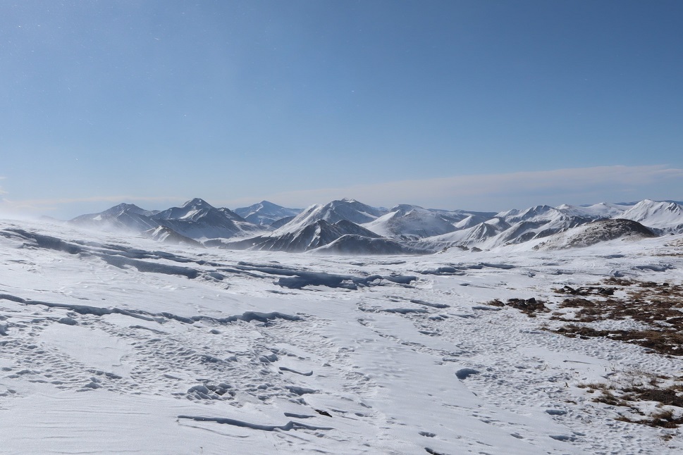
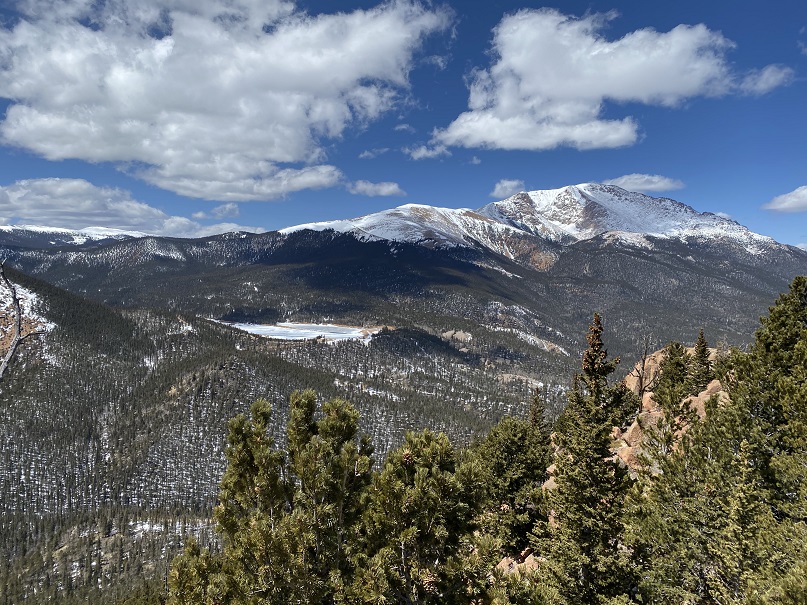
And some of the amazing views from on top of the rock
34

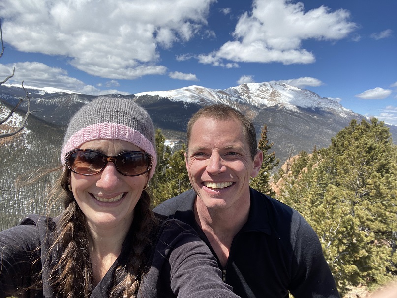
We took a summit selfie

35

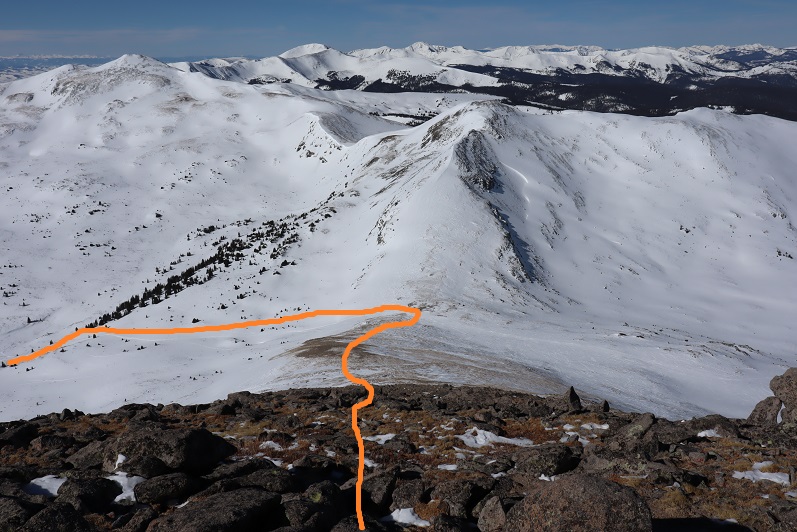
And I got another shot of the way back down

36

Side note: As I said earlier, I wasn’t convinced this point was any higher than the point we were at before, so once I got home I put the route up on CalTopo. It showed the second point was indeed 3 feet higher than the first, but I hadn’t climbed to the top of the first rock like I had the second. In other words, I think both places are of similar height, and in fact, while the rock was difficult to climb I’d say the route I took the first time was more challenging than the one I took today. In any event, either way, we summited because we made it to both points. I think either point should count on its own.
We decided to descend the way I’d trekked last week, and followed our snow tracks to the saddle

37

38

39

And back down the gully to the trail I took last time.
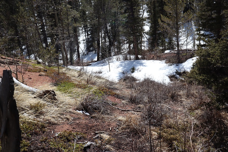
40
What’s frustrating here is the trail that’s on ALL the maps, GPX files, etc. is a trail the forest service doesn’t want you to take. They’ve made it extremely difficult to follow because they don’t want people hiking there. They’ve essentially tried to close this trial.

41

I totally get this, but the problem is they haven’t established new trails/produced proper GPX files, etc. of new routes. This is the best they give, which is a poor excuse for a map and doesn’t include topographic features or mountain names. It’s like they want you to get lost
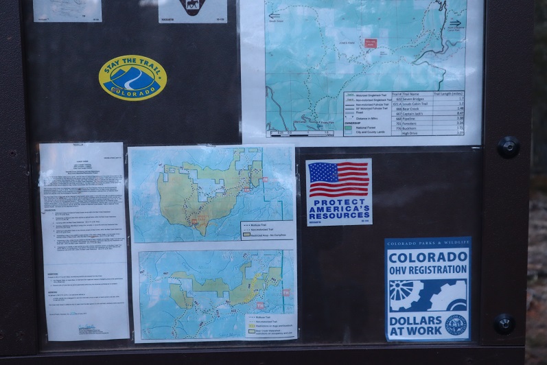
42

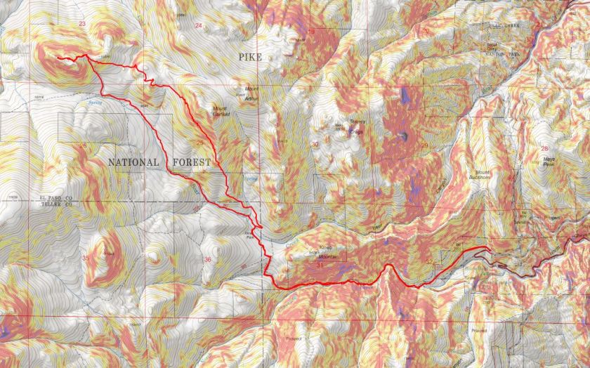
I’ve been in this area several times and their new trails are terrible and are meant for dirt bikes, not hikers. It’s really frustrating: I’d set out today to follow proper (new) trails and provide a GPX file for others interested but was unable to do so due to lack of information. In my topo picture at the end it shows I followed the trail on my return, but that’s the one they’ve blocked off, so it isn’t actually a trail. IT was however, my safest option.
We encountered a lot of snow on the trail on the way back, and instead of complaining about how we kept on postholing we decided to make it fun. Here’s Steffen trying to get across the snow without sinking by running fast (spoiler alert: that doesn’t work)
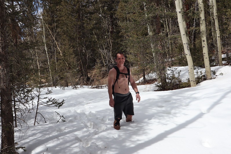
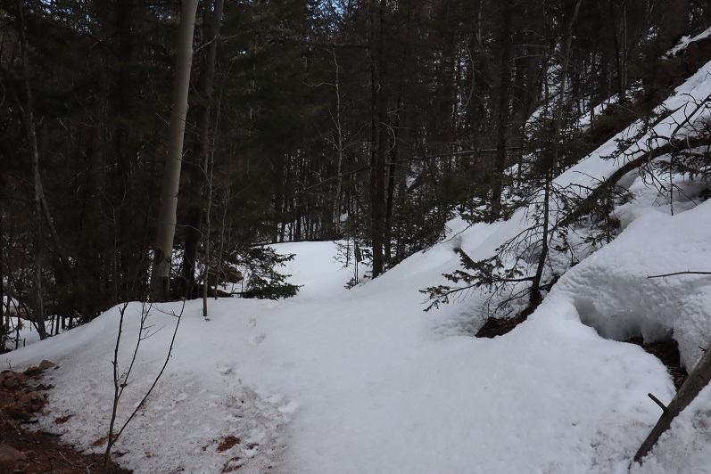
43

44

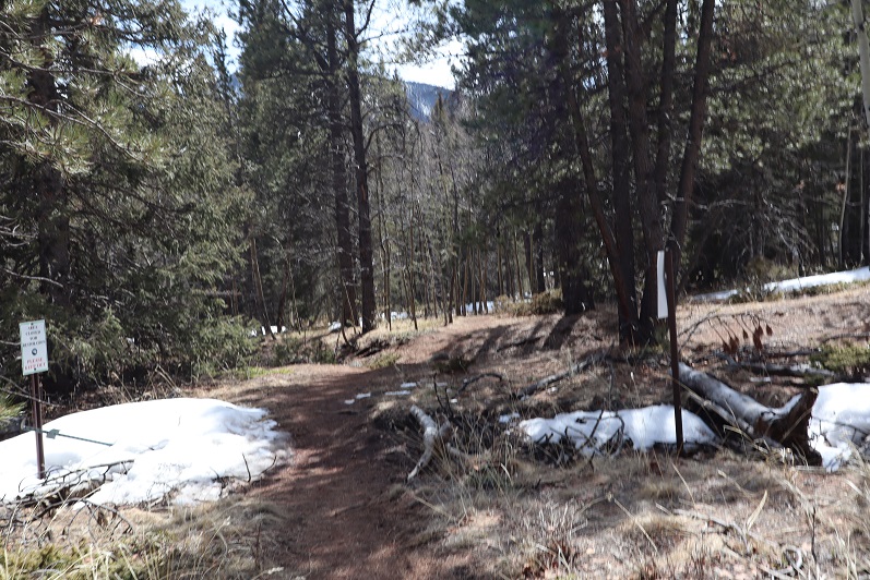
We made it back to just below Loud’s Cabin, linked back up with Trail 667, and followed it back to the parking lot
45

46

47

48

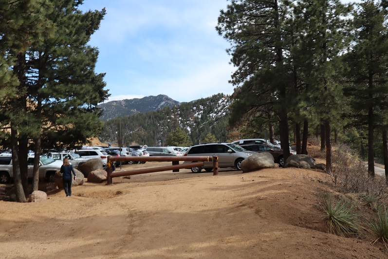
We were surprised to find when we made it back to the lot that it was overflowing with cars!
49

What was disturbing was about a third of these vehicles were from out of state. We’re supposed to be staying home and hiking only in our respective county, and I’m doing my best to abide by those rules (before they get worse). It was extremely frustrating to see so many out of state cars, and they just kept going and going and going: the lot was overflowing and cars were parked along the side of the road for miles as we exited. There were more cars here than I’ve ever seen in the summer. It must be Spring Break in other states and they’ve decided to still take their vacations.
We made it back to the truck at 3:30pm, making this a 12.5 mile hike with 4220’ of elevation gain in about 8 hours. It was a perfect day to go hiking!!! I’m so glad we got out and got some fresh air!
50

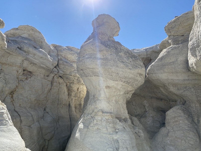
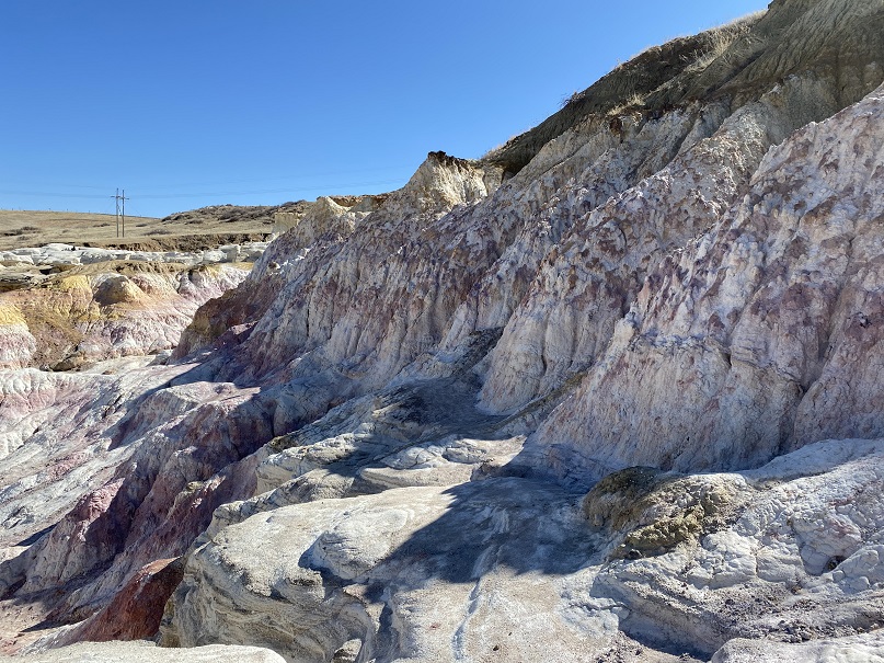
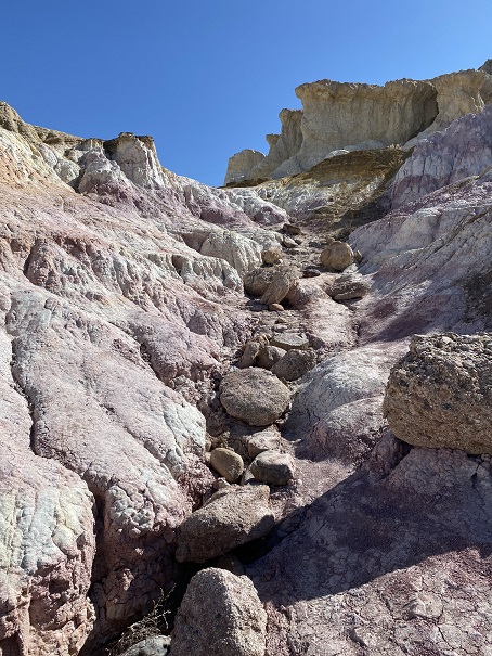
Paint Mines

1
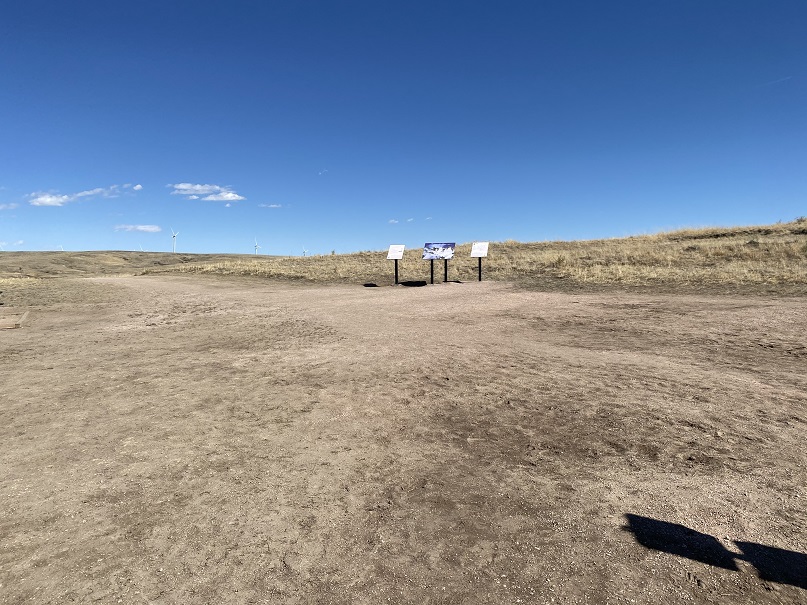
It doesn’t look like much, it’s always windy and it’s in the middle of nowhere, but this is a fun and easy family hike. Rebecca is a night owl, which means she sleeps in every morning. Today I woke her up at 2pm (yes, 2pm) to go hiking with us. She was grumpy and didn’t want to go, but I promised her she’d feel better once she was outside.
When we got there the parking lot was full so we had to park on the side of the road. No worries about social distancing though, as the trails are wide and even with a full lot we only passed people a handful of times.

2

3
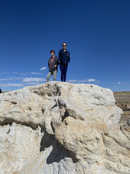
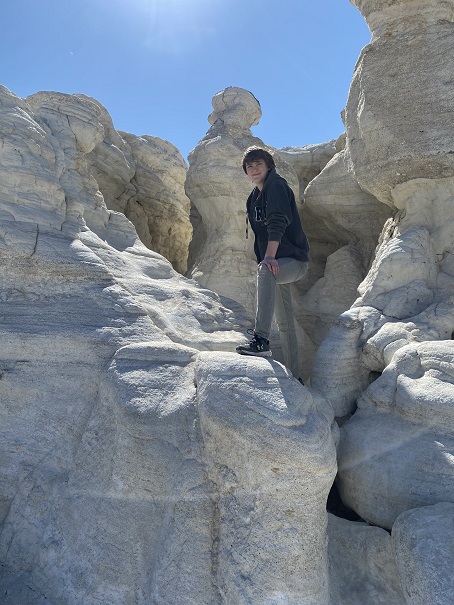
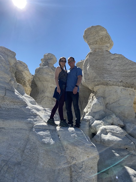
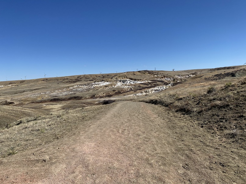
The goal today wasn’t to get in mileage or elevation gain, but to just get outside. You aren’t supposed to scramble on the rock formations (to preserve them) so here are some highlights we were able to get without damaging the structures:

4

5

6

7

8

9
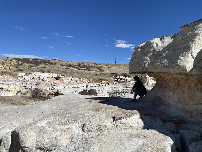
And some pictures of the landscape

10

11

12

13

14
We got in about 2.5 miles of walking and 300’ of elevation gain. Oh, and it took about half an hour of hiking, but eventually Rebeca’s sour mood turned upside down and she enjoyed herself!

Afterwards we went to Big R looking for chicks, but they were out (and so is everyone else).  So we drove home and I sent the girls to Raising Cane’s for dinner while Steffan and I put the skid rack back on my truck:  The girls love Sweet Tea and I’d never had their food before, so it was a win/win.

Mt Manitou – 9460′

1

Rt Length: 10 miles
Elevation Gain: 3499’
Partner: Steffen

Winter and spring summits tend to be all about being flexible: snow is usually present but the ability to hike through it is unpredictable. We started out wanting to hike some highpoints along Rampart Range Road, but when we got to the road it was closed (but looked to be in great shape, so I’m not sure why it wasn’t open?). So we sat in the truck for a bit, trying to decide where to go. We had chosen these peaks today because Steffen’s knees were hurting him and he was looking to hike something short. The only other peaks I’d done any research on in the area were Sheep and Mary’s, so we decided to go there. Please note, I hadn’t done much research on them, but I had a map…
We parked at the Barr Trail Parking lot as all the other parking lots in the area are closed due to the Coronavirus. We were the only vehicle in the lot when we arrived, but when we got back there were a few more cars.

2
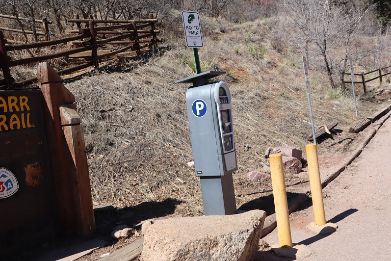
I paid the $10 to park and we were off

3
We backtracked down Hydro Drive to Ruxton and followed Ruxton west

4
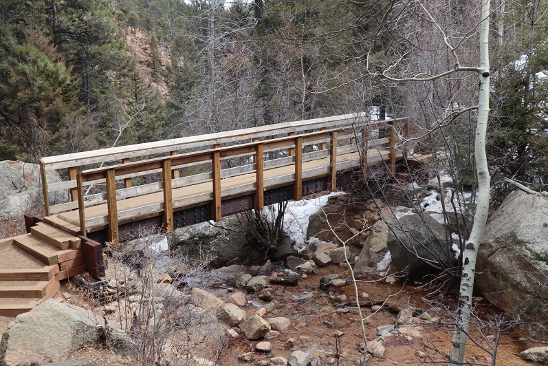
Crossed a small bridge over Ruxton Creek

5
And made our way up to the cog railway tracks (which are gone now because they’re re-doing the tracks/cog/cars).

6
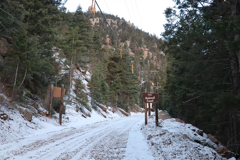
Signs told us we were on National Forest Land

7
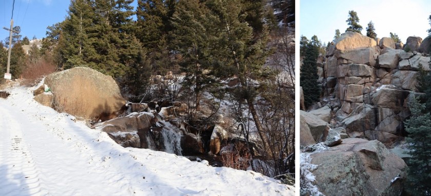
We followed the tracks for 3 miles. Let me tell you, this is much, much steeper than it looks! I kept expecting the road to even out a bit, but it just kept getting steeper and steeper. There were some neat waterfalls and rock formations to see along the way

8
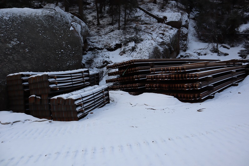
They also have materials to start setting new tracks

9
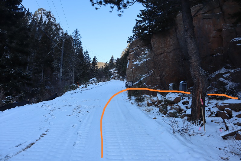
After 3 miles we were supposed to turn left to head up the side of Sheep Mountain, but the snow here was several feet deep and Steffen didn’t have his snowshoes. We considered continuing up the cog tracks but there was a “no trespassing” sign and even though the cog is obviously not running it seemed a bad idea to continue hiking on private property. So I got out my Pikes Peak Atlas and noticed we were at the junction to 706, what looked to be an ATV route. It looked like it would eventually hook up with Barr Trail, so here we turned right and followed the trail.

10
We hiked across a bridge carrying a water pipe over Cabin Creek that kind of freaked Steffen out a little (he’s not too fond of heights)

11
And continued following the trail around the mountainside.

12
It was a nice path, and there were several places along the way I thought would be great backpacking spots (I can see hanging a hammock here for the night)

13
The trail eventually led us to the Barr Trail, where it intersects just past the Experimental Forest, and right where I distributed flower seeds in memory of my Granny a few years ago.

14

15

16
We turned right (east) and followed the trail to the Experimental Forest Junction.

17

18
At the junction we decided to summit Mt Manitou today, just to say we’d summited something. So here we turned left and followed the road north, past the Experimental Forest

19
And up the road to its highest point, where we left the road and headed north to the summit of Mt Manitou.

20
It was rockier than I’d remembered, and further from the trail, but an easy trek. The views of Pikes Peak are wonderful!

21
Oh, this is the ‘summit’ of Mt Manitou

22
It was windy so we headed back to Barr Trail and followed it for 3 miles back to the parking lot. It ended up being a good hike, with decent mileage and elevation gain. As an added bonus, I found a way to connect the Barr Trail with the cog. I filed that information away for later use.
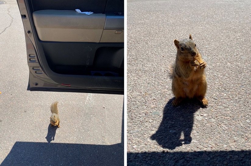
As we were getting ready to head home we had a squirrel come up to the door of my truck. It moved back and forth a few times and looked like it wanted to jump into my truck. I’m guessing he was hungry: he stole one of my Do-si-do Girl Scout Cookies!

23
This little guy obviously didn’t understand social distancing so I closed my door and we drove away. I didn’t want to take a squirrel home with me!
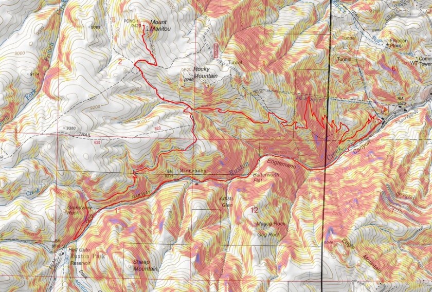
Here’s the route we took today

24

Tuckaway Attempt and Mt Kineo

1

Note, my successful climb of Tuckaway can be found here.

This whole Coronavirus thing is crazy, and it’s driving me crazy. Half the states are closed to outdoor recreation, with the other half open. Our county is open for hikers (with restrictions to social distance), others in the state are closed (and there seems to be no consistency) so I chose to social distance close to home today, getting in 14 miles and 4300’ of elevation gain on a trail that hasn’t been used much, if at all this winter. I didn’t pass a single person all day.
My intent was to hike Tuckaway Mountain. It’s located off North Cheyenne Canyon well off the beaten path but at a popular trailhead. I arrived at the trailhead at 6am, the first vehicle in the lot. Right behind me was a car full of runners: they parked and immediately started running down the trail. I envied them their lack of gear.
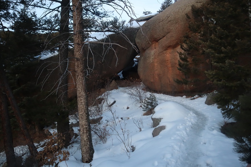
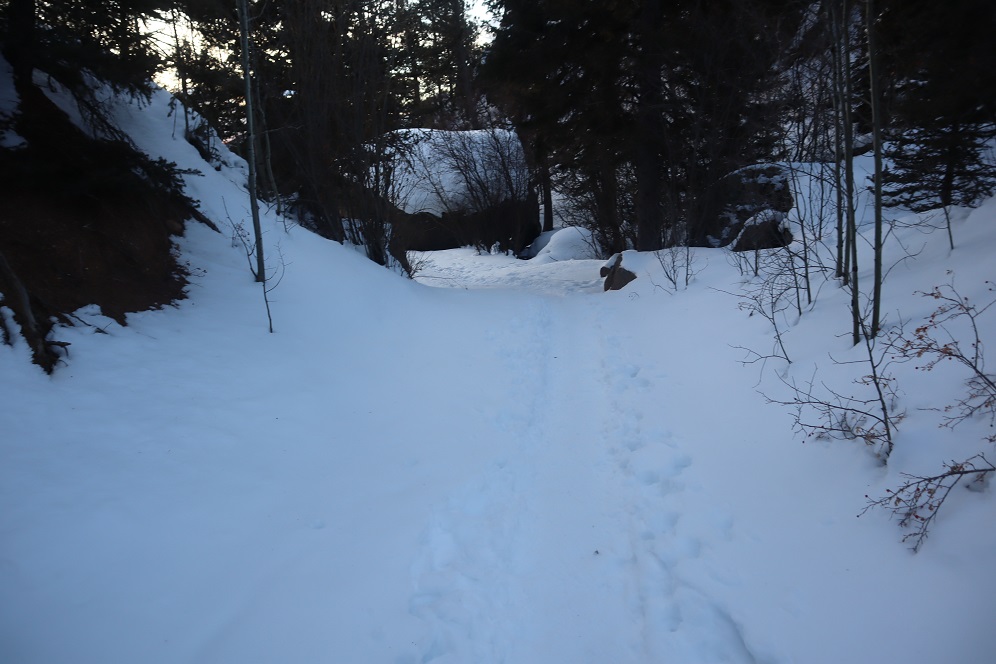
I’ve explained this hike several times so I’ll just paraphrase: I took the Seven Falls Trail (622) to the junction with 677 and then 622A to Loud’s Cabin. This part of the trail was snow free but I wore microspikes because there was ice in areas.

2

3

4

5

6
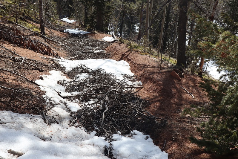
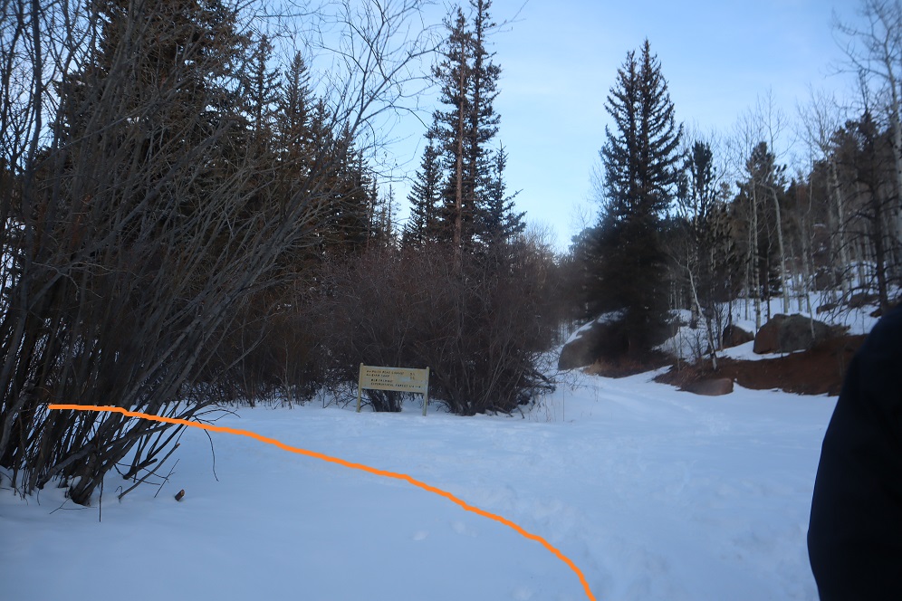
Once at Loud’s Cabin the trail ended, but it wasn’t supposed to. I ended up backtracking a bit and finally finding a trail! The only problem? They obviously didn’t want anyone using this trail.

7
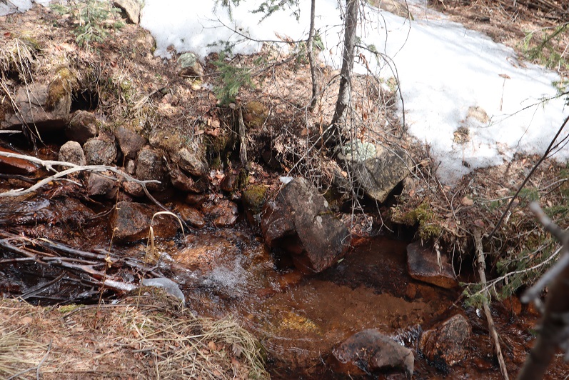
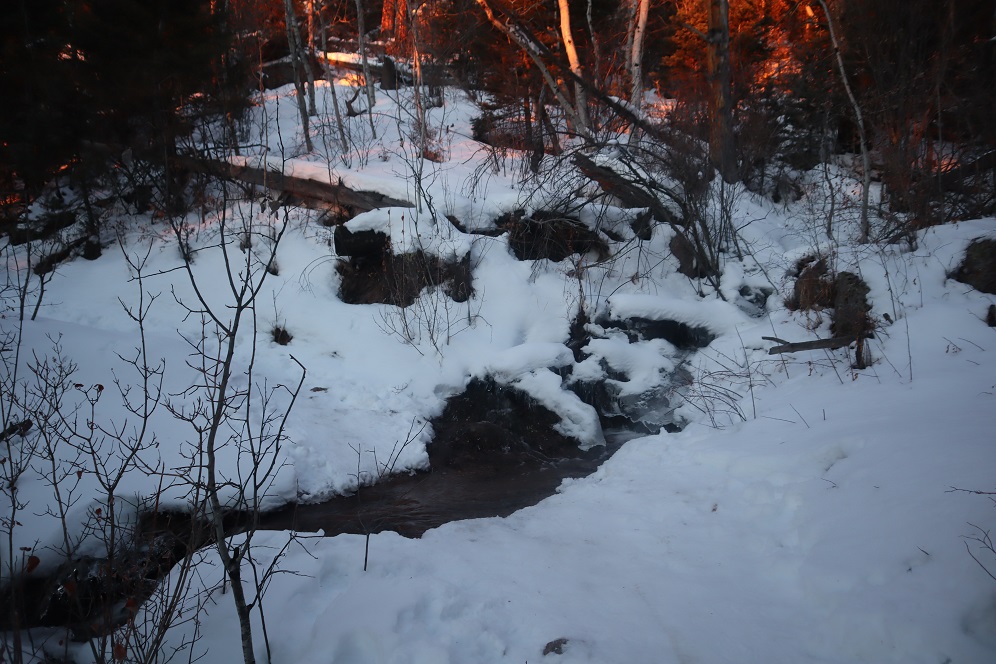
Hmmmm. In the past few years they’ve done a lot of re-routing trails here. This must be one of the ones they closed off. I knew which direction I was supposed to go, so I decided to leave the old trail and bushwhack my way towards another trail I was sure would be ahead of me.

After crossing a stream

8
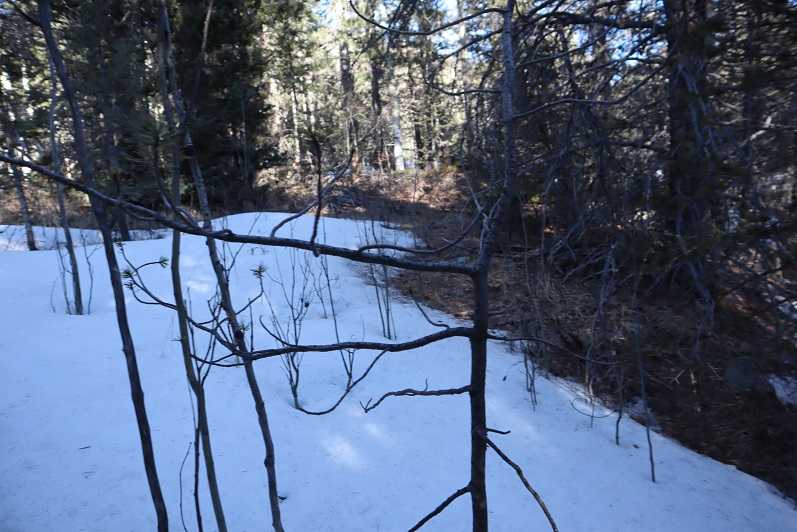
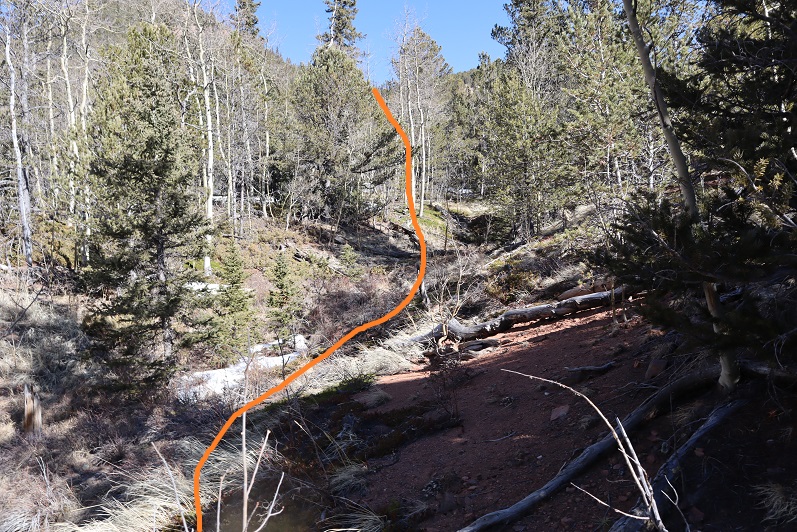
I just aimed west, keeping the snow filled gully to my left.

9
I hiked like this for about 2 miles, until guess what? I found a trail! It was obvious this trail hasn’t been used all winter.

10
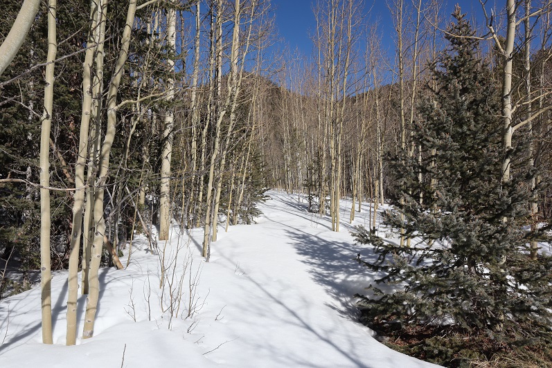
I followed it north and held out as long as I could before putting snowshoes on

11

12
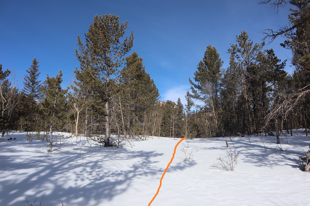
Just as soon as I put on the snowshoes, the snow stopped. I found myself at another gully, and this time followed it up to the saddle. This part reminded me a lot of Mt Garfield, and there wasn’t a trail.

13
Once at the small saddle I turned left (west) and once again donned my snowshoes.

14
After about 200 feet of snowshoeing I could tell I was very close to the summit, but unfortunately the snow became impassable in snowshoes (I could have done it in skis). Every step I took I sank up to my waist. The snow was just too sugary and warm for snowshoes to be effective. Maybe if I’d started earlier in the day the snow would have been more firm?

15
I turned around a couple hundred feet from the summit. This was my second attempt of this peak (I thought I’d summited the first time but was told the summit was actually 50 feet more to the north, so I wanted to go back and see for myself/hit the true summit). I wasn’t that upset about turning back because I was really proud of all the route finding I’d done. Also, I have a friend who wants to hike this mountain with me, so I knew I’d be back no matter what. Now I just have more accurate route information.
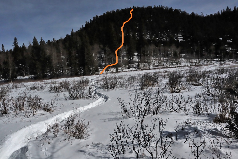
From here I could see my path back down the canyon. Yep, I now know these hills like the back of my hand. Who needs a map?

16
I made my way back down the gully to the trail, and followed my footsteps back

17
To where I’d written I the snow where I’d bushwhacked in from so I knew how to get back

18
Back down the mountain I went, keeping the snow to my right this time

19
I was thrilled when I made it back to Loud’s Cabin. This had been a great day! This is also where I got the idea to summit Mt Kineo, just to say I’d summited something today. I’ve summited Mt Kineo several times, and it isn’t a difficult summit. I didn’t need a map or directions to get there. I hiked back to the 677/622 Junction and left the trail to hike up the Kineo mountainside

20
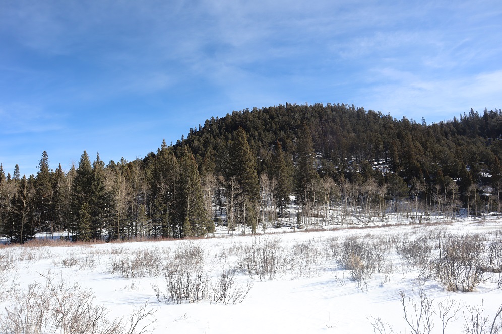
At the false summit I had a pretty good view of Tuckaway Mountain (the mountain I’d attempted that morning). It didn’t look snow-filled, even though it had been.

21
There was actually more of a trail this time up the mountain than I’ve ever seen. The first time I hiked here there was no trail, but now it’s a clear path.

22
The views from Kineo don’t disappoint!

23

24
The hike back was uneventful. It was weird not seeing anyone on this part of the trail: the last 1.5 miles is usually teeming with people

25

26

27
I made it back to my truck and the lot was about halfway full. I was glad people were getting out and enjoying the sunshine while they can. The cool thing about our trails being open is they self-regulate. There are only so many parking spaces at the trailheads so only so many people can be allowed in.
Here’s a copy of my track

28

Saying Thank You to Essential Workers

1
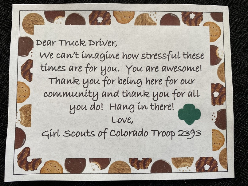
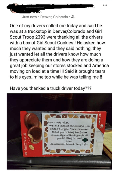
The day before we got the stay at home orders from the Colorado Governor, I took a couple of my Girl Scouts to local grocery stores to deliver Girl Scout Cookies. The idea was to leave cookies in the break room to thank employees for dealing with cranky customers and keeping the shelves stocked.
We went to all the stores what allowed our girls to sell cookies, as well as the two Costco’s in town; my mom works for a Costco in California and said they would love it if we left them cookies. I have to say, the Costco employees gave us the warmest response! Two of the Walmarts we visited couldn’t take the cookies (but the other 7 could). Since a few of the Walmarts said ‘no’ we stopped by one of the girls’ favorite Safeway and gave some to their employees. We also passed some cookies out to firefighters at the store buying food and some people experiencing homelessness downtown.

2
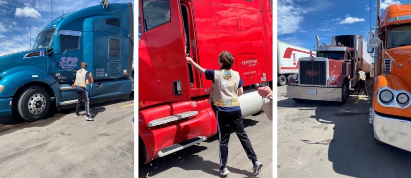
Next we headed to a local truck stop to deliver cookies to truck drivers. Lots of hand sanitizer and social distancing was applied. Most of the truckers were sleeping in their cabs, so we just left cookies on their stairs with notes.

3
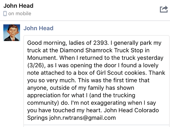
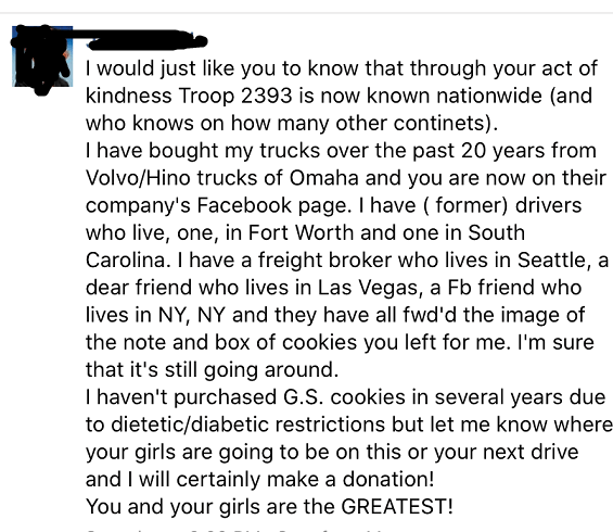
It was a well spent afternoon and when we were done the girls were happy with what they did. In the next few days the outpouring of gratitude from the truck drivers was amazing! Many found us on social media and posted ‘Thank-yous’ to my girls. We felt kind of weird getting thank-yous because we wanted to thank them, but it was great seeing the girls faces light up as I read them the responses. Have you thanked a truck driver (or other essential employee) today?
4

5
6

Red Rock Open Space

1

I took the girls to Red Rocks today to get out side.  While they are fond of staying inside and playing on their phones (etc.) I suspect they’re beginning to get a bit of cabin fever.  The parking lot was full when we arrived, but the nice thing about trailheads is once the parking lot is full, no one else can enter, so social distancing takes care of itself.  There were signs asking people to practice social distancing

2

Because of where we ended up parking we decided to do the loop backwards, starting instead by the pond.

3

We continued past all the rock climbers and did a bit of scrambling ourselves.

4

I took the girls to see the landfill.  I’d never really mentioned it to them before and they were curious as to why the city would pick it’s most beautiful location to dispose of trash, but on the bright side it looks like they’re trying to clean it up.

Next we hiked up the quarry

5

6

and then made our way back to the truck.  There were a lot of people on the trails today but social distancing was no problem at all with the wide trails and lots of open space.  I think we need to make hiking as a family a bi-weekly thing as long as we’re still allowed to be outside… I fear it won’t be long before our parks and open spaces are closed as well, which is truly a shame because it’s how I keep my mental and physical health…

We got in about 3 miles and 750′ of elevation gain in today.

7

Highpointing: WV, MD, PA, DE, & Washington DC

1

4861’ – Spruce Knob, West Virginia
3662’ – Backbone Mountain, West Virginia
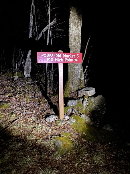
3360’ – Hoye Crest, Maryland
3213’ – Mt Davis, Pennsylvania
445’ – Ebright Azimuth, Delaware
415’ – Point Reno, Washington DC

It’s been a while, but that doesn’t mean I haven’t been out hiking. I’ve had several failed attempts (due to the partner I was with or the forecast conditions being off… and one failed summit was due to an area that had too much avalanche activity for me to feel safe).
This trip had been planned for a while; we were going to arrive 2 days before the conference, drive around and hit a bunch of highpoints before the conference began, and then during the day I’d be at work and Steffen would see Washington DC (I’ve been there several times and didn’t feel I’d be missing out). At the last minute my organization cancelled the conference due to the Coronavirus.
I cancelled our flights, and as I was doing so Steffen asked what the cost was now that everyone was cancelling. Hmmmm. I looked it up: $45 to fly to Washington DC. We were intrigued. I’ve never seen a fare to Washington DC so low, especially during the Cherry Blossom Festival and Spring Break. We discussed the pros and cons of travelling right now. To be fair, there were a lot more cons than pros. We figured the plane would be pretty empty, and I checked out DIA’s policies and changes due to the Coronavirus. My main concern was social distancing and not interacting with other people. In the end we decided to book the flights, but not a hotel room: We’d rent a car and drive and sleep in the car, limiting our exposure to others.
Our flight left at 5am from Denver. Side note: on our way up to DIA someone was stalled in the right lane in the GAP project, and I was very, very close to hitting them. In my defense it was dark and there are no lights in this section, but it was super scary to be inches from hitting him, and the same with the semi behind me.
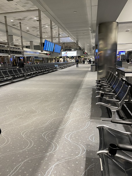
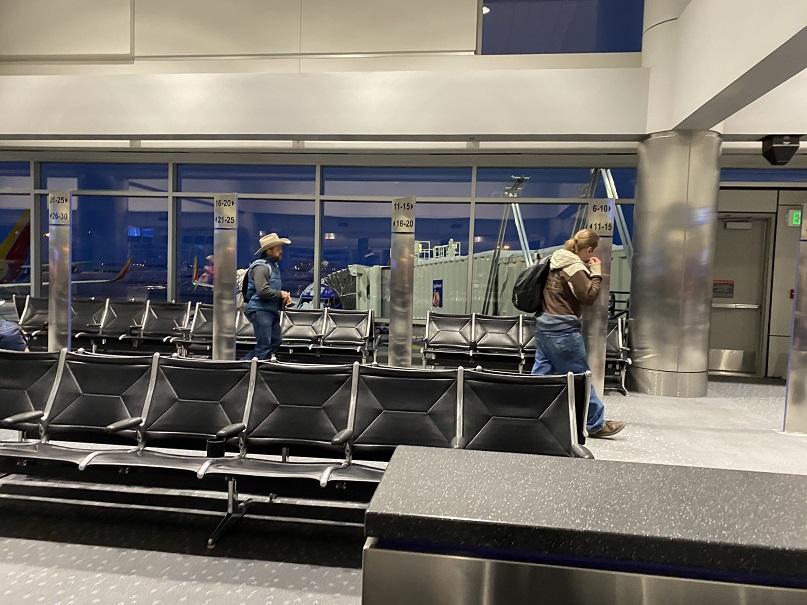
We parked at The Parking Spot and took the shuttle to DIA. We were the only ones on the shuttle except for the driver. She was very nice so I double tipped her (I’m sure she relies on tips and the lack of travelers must be hitting her hard). The airport was almost empty. There was no one in line at security and we breezed right through. Everyone was practicing social distancing, from standing in line waiting for the trains to sitting in chairs at the terminals.

2

3

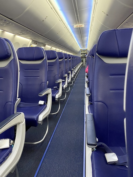
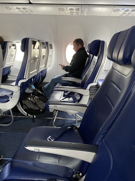
There were only 15 people on our plane, so social distancing here was pretty easy.

4

5

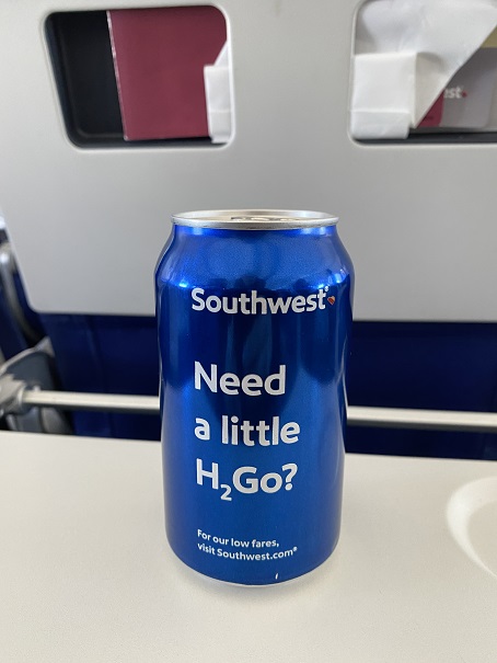
The flight attendants were overly nice and kept asking us if we needed anything. They were only allowed to give out water and snacks (no other beverages) and the water came in a can? The pilot came on and thanked us all for flying, and asked us to let our friends know they’re still open.

6

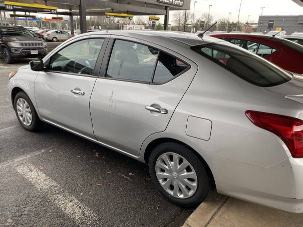
Social distancing was again easy as the shuttle driver left as soon as we boarded so we were the only ones on the shuttle. So far, this trip was a total social distancing success! We picked up our rental car after a slight mishap (we took one in row 2 instead of row 3 and had to return it). It had a bunch of bird droppings on the side and it smelled a little like cigarette smoke, but we were ready to roll!

7

Our first stop? Walmart to pick up food so we wouldn’t need to go inside gas stations, etc. We were taken aback at how fully stocked the shelves were and how no one seemed too concerned about things like toilet paper. Wow! Nothing like Colorado Springs, where we’re all out!

8

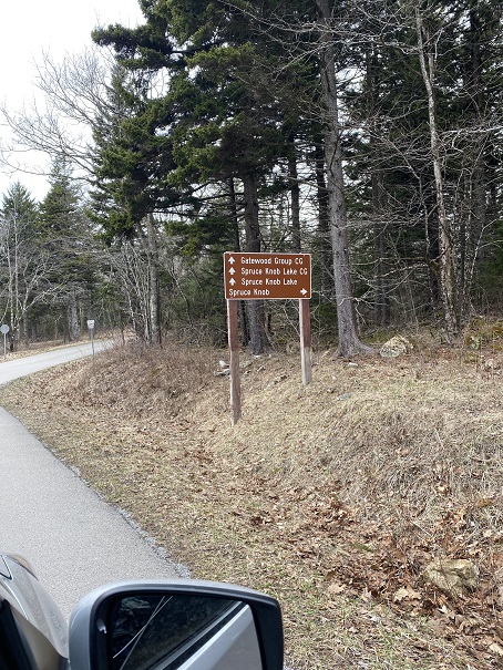
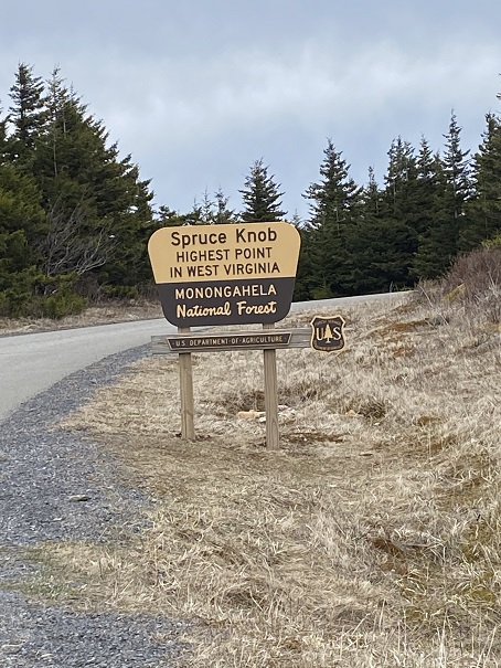
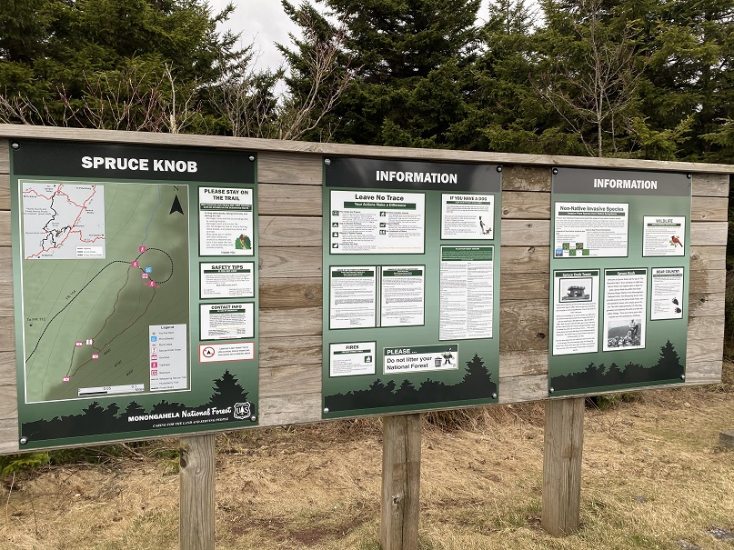
Peanut butter, jelly, cheese and crackers later we were finally ready to start highpointing. Our first stop was Spruce Knob, West Virginia. This was an easy drive up to the trailhead on a paved road

9

10

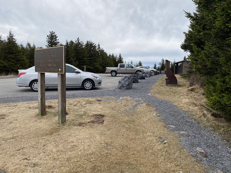
Even the cars were social distancing

11

We hiked less than a quarter of a mile on a well maintained dirt path to a tower.

12

13

14

We didn’t see a summit marker, so we decided to climb the tower. No summit marker there either, but it sure was windy!

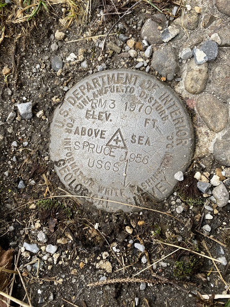
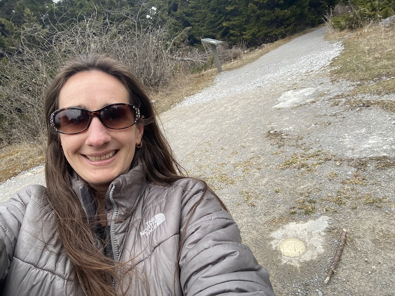
We headed back down and searched for a bit and finally found the summit marker (in the dirt)

15

16

We hiked back to the car and were on our way to the next highpoint: Backbone Mountain. Turns out we had directions to the WRONG Backbone Mountain, but it was still a highpoint (in West Virginia, not Maryland). We drove up a sketchy road littered with fallen trees
17

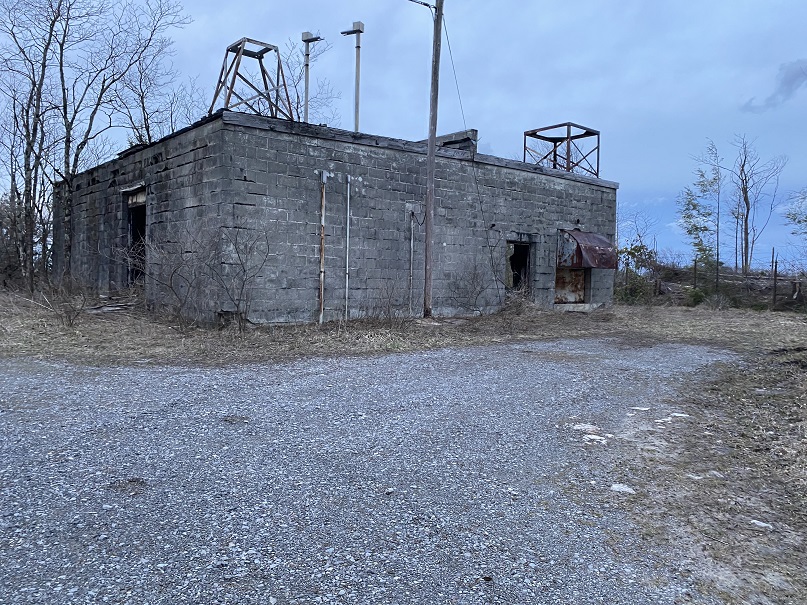
And parked at this abandoned building.

18

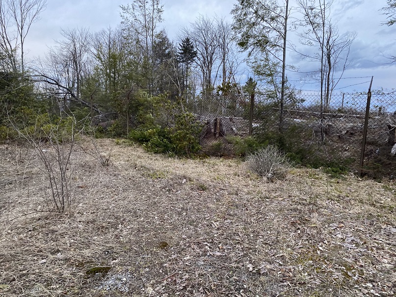
We went around this fence

19

This is what the summit looked like

20

21

Can you believe it? We actually found a summit marker at this place!

23

24
But it clearly wasn’t the right one. I pulled up my Peakbagger app and realized we were almost 8 miles away from the correct Backbone Mountain (this was Backbone Mountain WV, not MD), so we got back in the car and drove north.
We were unable to locate the correct trailhead, so we decided to hike the dirt road… until it passed right through some houses where people were eating their dinner and could obviously see our flashlights out their windows. This was private property and we were obviously trespassing so we retreated back to the car.

25
We sat there and pulled up a GPS track from AllTrails and saw we were close to the actual trail, about a quarter mile or so. So we decided to bushwhack through the trees until we made it to the trail
26
Success! Once on the trail is was an easy trek to the highpoint

27

We weren’t able to find the summit marker, but it was obvious we were there

28

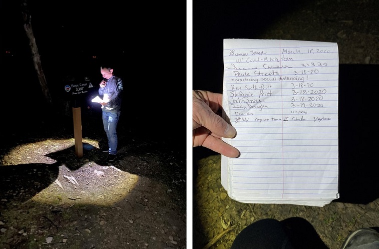
Steffen signed the trail register and we were off, bushwhacking again through the forest.

29

All I could think about were ticks: we were not following a trail and were constantly pushing branches (etc) away from us as we went. I just kept telling myself it was too early for them to be out. Right? I should probably be more concerned about Poison Oak/Ivy…

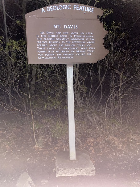
Next up was the Pennsylvania Highpoint. This one took us through Amish Country. We could tell because the houses had no lights and there was laundry hanging from the front porches. Tons of laundry, and all white. We drove in and out of the fog to a parking lot with this sign

30

It was colder than we’d anticipated, so after parking we quickly followed the trail about a quarter mile to the overlook, which we assumed was the highpoint.

31

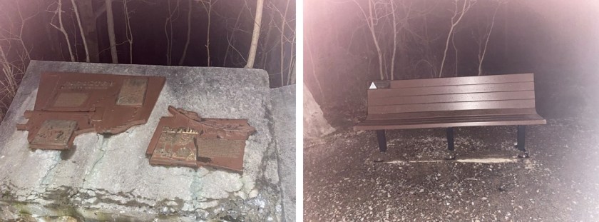
We climbed up and down the frozen metal, realized there was no view at night and started looking for a summit marker. We found plaques and a highpointing bench

32

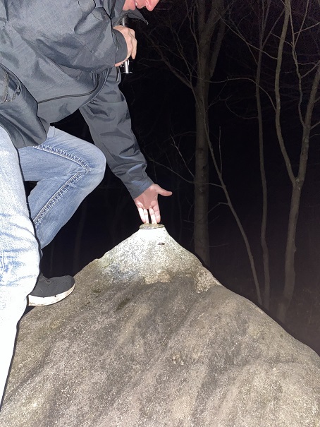
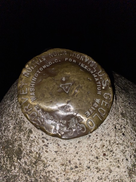
And eventually realized the summit marker was on top of this rock

33

I climbed on top and got a picture for good measure, and we booked it back in the cold to the car.

34

When we got there my phone dinged and I had a message from the airline, telling me our flight was cancelled and to rebook. Argh! I called and my wait time was about 2 hours to speak with a representative, so we went online and found another flight. It left earlier than we wanted but it was a flight home, and we figured that should be our first priority at this point. We did some math and realized we no longer had time to hit the New Jersey Highpoint, but we could still drive to the Delaware one.
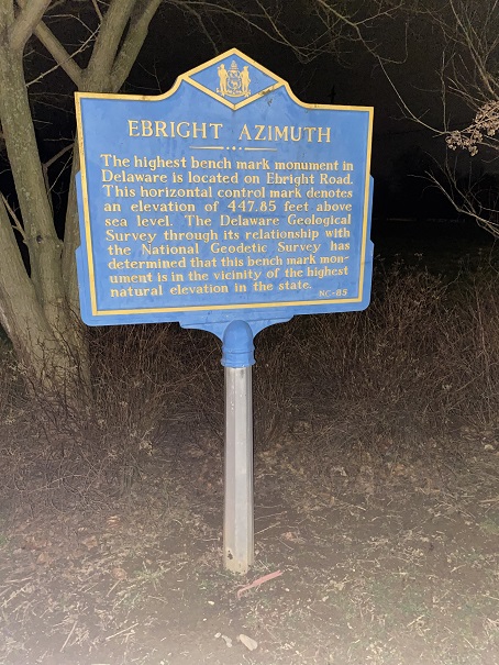
So we did, and it was quite anticlimactic:

35

It looked like they cut out the sidewalk for the marker. To be fair, it’s a pretty low highpoint… 455’

36

37

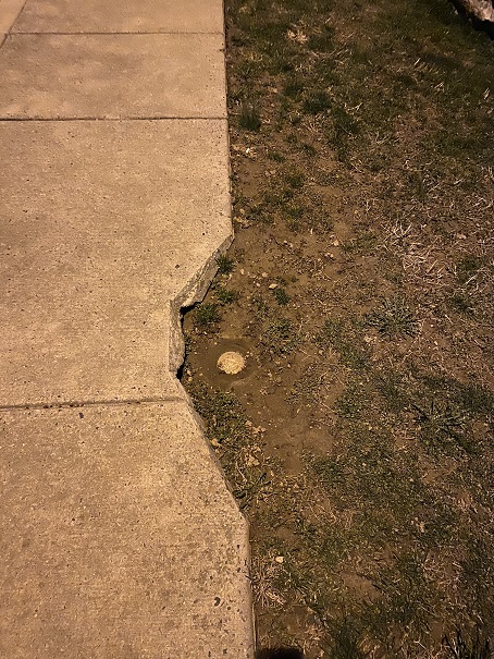
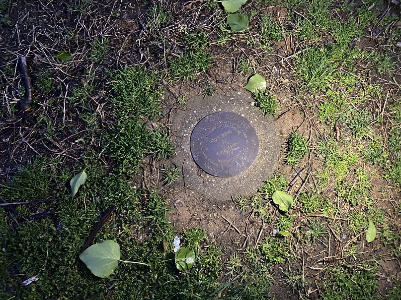
Next we were off to Point Reno. I’ve already been to this one so I knew exactly where to look for the summit marker (it’s a bit hidden, sandwiched between a middle and high school)

38

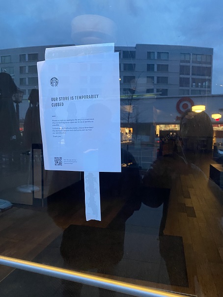
What to do now? Our flight didn’t leave until 4pm and it was only 7am. We decided to go find some coffee. I had several Starbucks cards with me I intended to use. However, when we got there we discovered they were closed. Bummer!
39

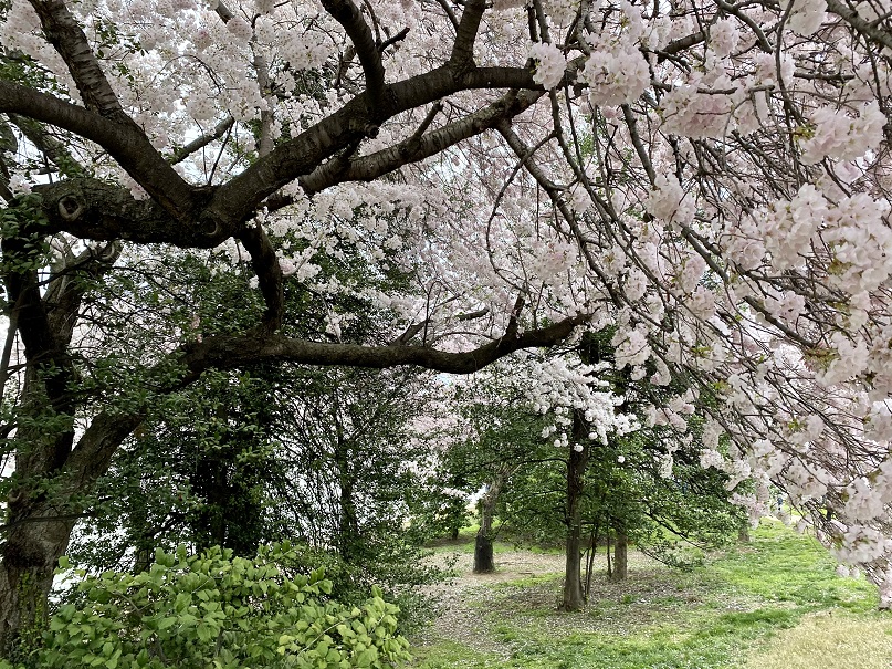
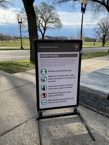
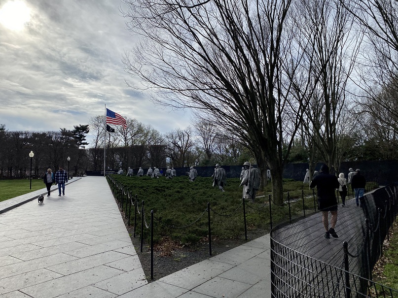
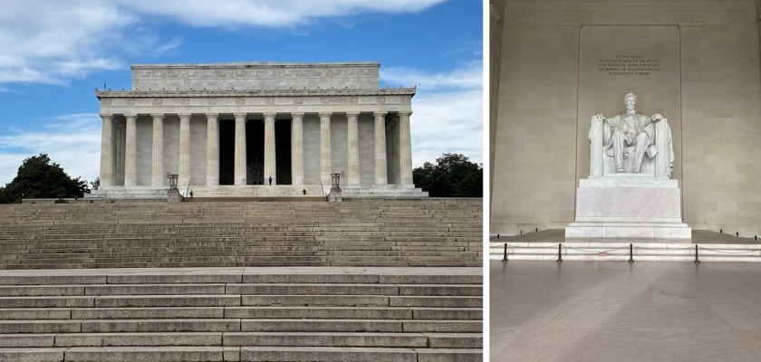
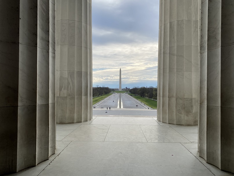
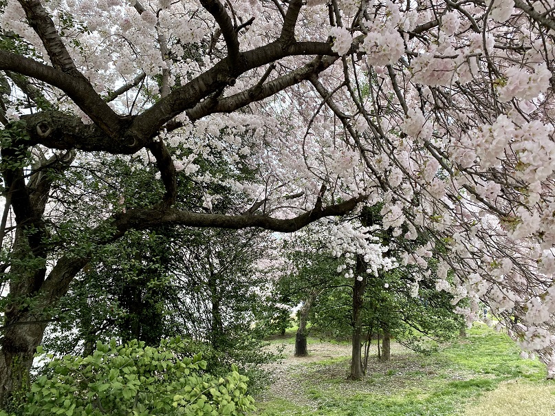
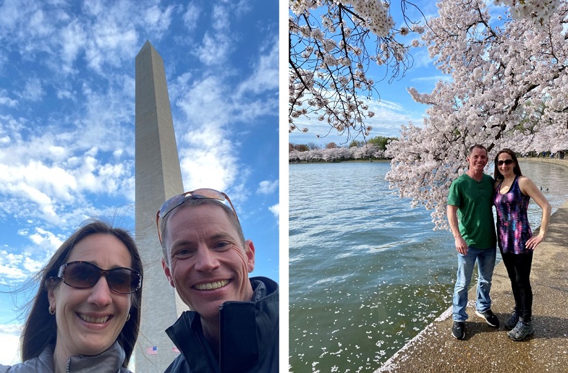
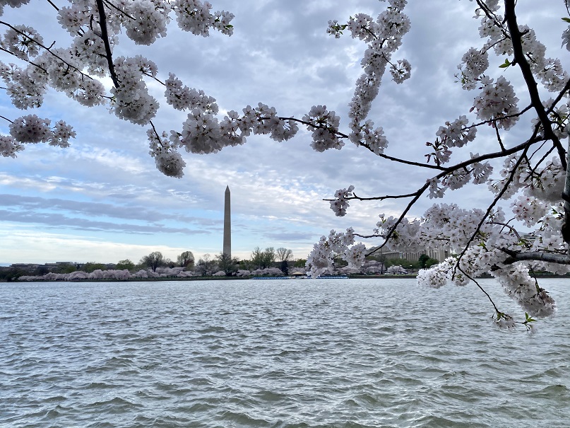
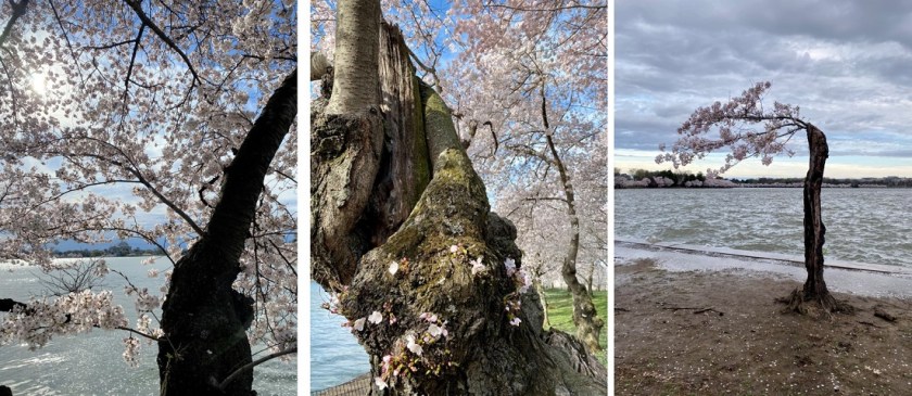
Steffen had never been to Washington DC before, so I decided to be his tour guide. I’ve been here many times and took him to all the best sites. There were tons of people outside, all social distancing together. I LOVE when the cherry blossoms are in bloom (I even bought a cherry tree and pink magnolia once to remind me of them) and I was so glad he got to experience this. Here are some highlights:

40

41

43

44

45

46

47

48

When our touring was done we were tired, so we drove to a Walmart parking lot and decided to get a few hours sleep before our flight. Note: at this Walmart everyone was wearing masks, and not surgical masks, but full on gas masks. It seemed a bit overkill. I set my alarm for right before we needed to leave for the airport and we both fell asleep in the front seats of the car. When my alarm went off I glanced at my phone and noticed I’d received a notification 20 minutes ago stating our flight was cancelled. Oh no! Time for damage control! Steffen drove me to the (abandoned) airport and I went straight to the ticket counter. Now I was worried we weren’t going to get a flight home, since they kept cancelling them. (No worries seriously though: we had a rental car and could have driven home if necessary). I politely asked what we should do, and was informed since we were at an international airport and international flights had been cancelled our best option was to go through Regan National instead. He booked us a flight leaving at 5:20pm out of Reagan, and gave us each $200 vouchers to use at a later date. Nice! That’s more than we spend on this entire trip! We drove to Regan National, returned the rental car (and gave the lady checking us in a box of Girl Scout cookies). There were more people here than at Dulles, but it was still pretty sparse, and everyone was maintaining proper distance. Even the restaurants only let people sit at every 4th seat.
We once again got canned water and snacks on this flight, which brought us to Houston. There was a restaurant open in the terminal and we were starving so we decided to check it out: Papas Burgers. They were also expensive so we shared a burger and fries (this worked since I really only wanted the fries and Steffen didn’t want fries). Steffen insisted I try the burger, and let me tell you: this was the best hamburger I’ve ever had! The fries were pretty amazing too. They maintained social distance here as well, closing the restaurant once 1/3 of the seats were full so we could all maintain social distance.
We breathed a sigh of relief when we took off towards Denver. Once again we had canned water and snacks, and this time got to watch a thunderstorm from our seats!

49

Ok, gross alert: halfway back to Denver I felt a bump on my neck. I was worried it was a new mole (this is valid, as I’m quite moley) and pulled at it. It didn’t budge, so I dug my nails in and pulled harder. It came out, and what I expected to be a mole ended up being a tick! Yuck! I’m pretty sure I got it while we were bushwhacking though the woods of Maryland/West Virginia. I was not happy with this, but I was glad I’d gotten it out. Now I just need to wait a few days for the head to come out…
In the end, I’m very, very glad we took this trip. I don’t plan on travelling again until this whole Coronavirus thing blows over, but I have no regrets, and I’m really glad we decided to go anyway while doing our best to stay safe.

Tincup Peak – 13,345′

1

RT Length: 14.5 miles

Elevation Gain: 3590′

I absolutely needed to get above treeline today: the past few weeks has been a whirlwind cookie season, limiting my availability to hike, and the weather hasn’t been cooperating on the days I’ve had available so I’ve been highpointing instead closer to home. Also, today is a leap day and I’ve never had a leap day summit. So I did what I always do and checked the weather forecast for about 10 peaks and chose the one with the best forecast.

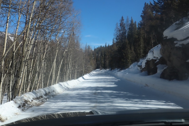
The road to St Elmo is mostly dirt and (thankfully) well plowed. A 2WD vehicle could easily have made it to the trailhead.

2

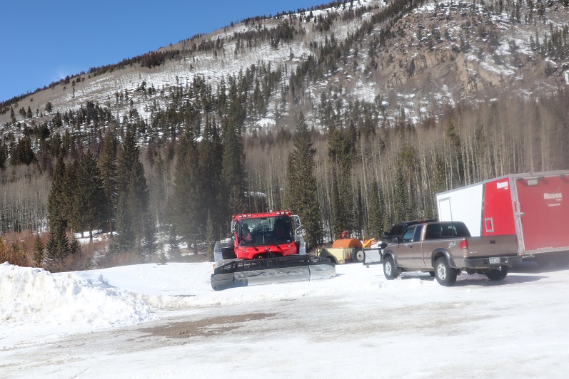
I arrived around 4:30am and drove through town looking for a parking space. No luck. The streets were plowed but because of the snow there was nowhere to park, so I ended up turning around (twice) and parking near the east end of town in a lot that looked reserved for trucks pulling trailers. I was the only vehicle in the lot when I arrived.

3

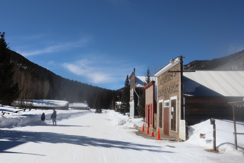
I gathered my gear and was on the road by 5am, turned and headed back to make sure I’d turned off the dome light in my truck, and started off again. Almost immediately a Bobcat ran across my path, doing it’s best to run away from me as fast as it could. I considered it a good omen. It was a bit eerie walking through a ghost town at night, and with all the snow you could tell which houses were occupied and which ones had residents who went somewhere else for the winter. Every building had a sercurity system flashing a red light every few seconds or so.

4

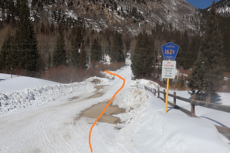
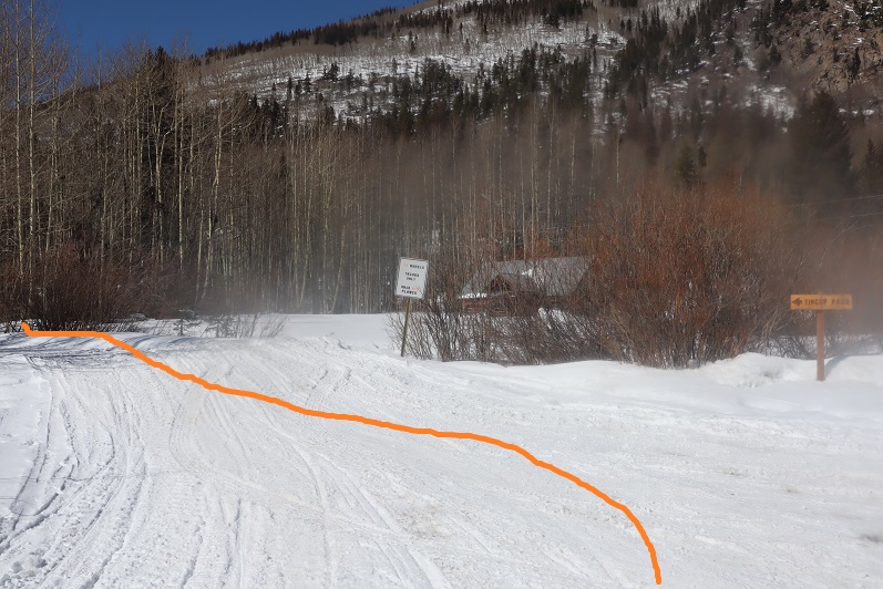
At the end of town I turned right onto 162E and then left after the bridge and followed the signs towards Tincup pass. It’s 6miles from here to the pass.

5

6

7

8

9

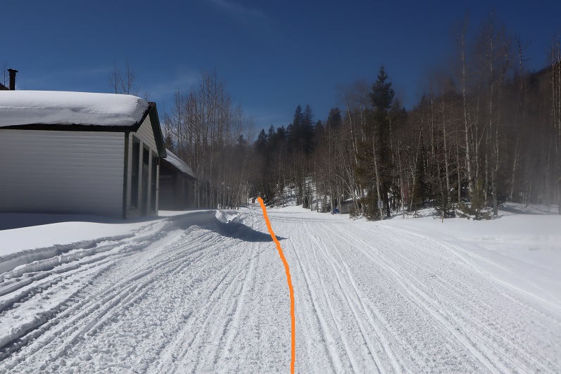
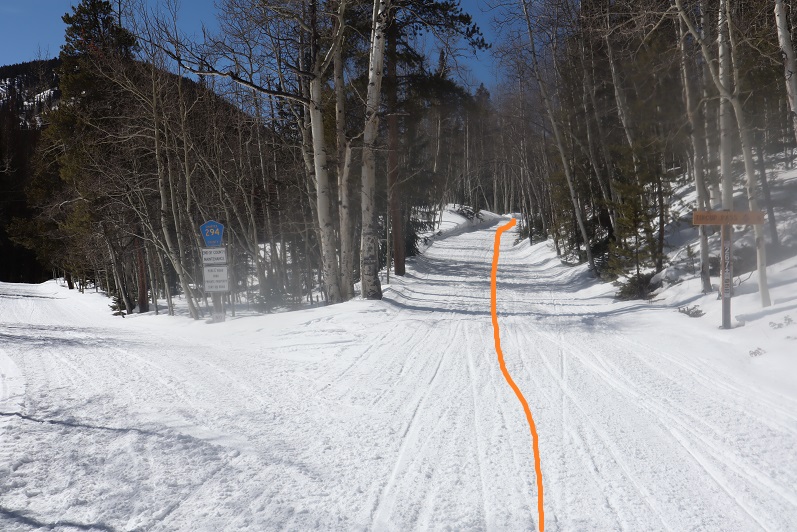
The road was nicely groomed and looked like it had a lot of snowmobile activity. I spent my time hiking fantasizing about the new truck set up I’m working on for Spring/Summer (same truck, new setup). Embarassingly I jumped a few times at noises in the night, just to realize it was the sound of an invisible (snow-covered) creek or a tree about ready to fall. My original intent was to leave the trail and summit Point 13,050 and traverse the ridge over to Tincup Peak, but it quickly became obvious that wasn’t going to happen today: the snow wasn’t going to cooperate. There were several sections where I could tell snowmobiles had gotten stuck in the snow and had to be pulled out after leaving the road to head north (the way towards 13,050). So instead I followed the road slightly southwest for 4 miles, until I came to a trail junction. I could also tell the weather wasn’t going to be as sunny/calm as originally forecasted. The winds were only supposed to be 5-10mph here today, yet I could tell by the sounds the trees were making the wind was much more intense. Several times I heard wind that scared me into thinking I was hearing an avalanche. Tons of fun!

10

I continued straight (northwest) and followed the trail until I made it out of the trees.

11

12

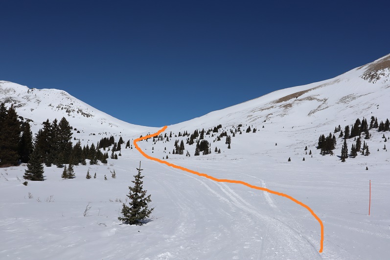
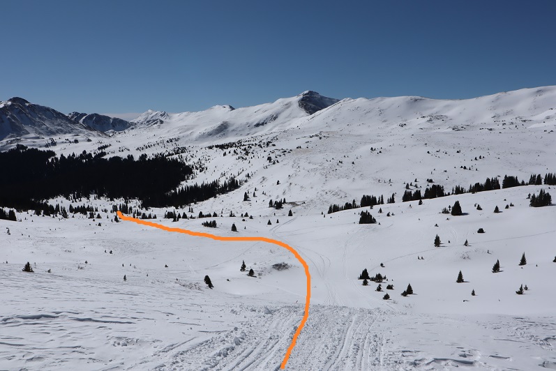
From here I followed orange poles to Tincup Pass. Here’s the basic route:

13

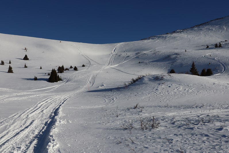
At about this time I couldn’t feel my toes/feet anymore, and it felt like I had two half-dollar sized rocks under the balls of my feet. I wasn’t cold, I was just having a Raynauds attack and decided to just keep pushing on: they usually only last about half an hour or so, and as long as I keep moving everything ends up fine. Here’s the last section up to Tincup Pass

14

15

It’s steeper than it looks but honestly short and not too bad. Tincup pass is located at 12,154′

16

I turned right (east) and headed up the side of Tincup Peak. Here’s the route I took, doing my best to avoid the areas covered in snow (after postholing too many times to count):

17

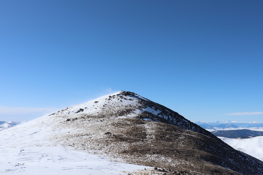
About a quart of the way up the wind picked up fiercely. I hadn’t put on a balaclava this morning because it hadn’t been windy when I’d started, and now the wind was so intense I couldn’t get it on (well, I might have been able to, if I took off my gloves). The winds were forecastd at 5mph, but there were several times when I had to turn my back to the wind and brace myself to remain standing. Not for the first time I told myself that when the forecast looks too good to be true, it probably is. I made it to the top and took a look around what I thought was the summit: there were cairns and a windbreak.

18

19

The wind was extremely intense here. I still couldn’t feel my feet but I wasn’t cold, and I knew taking off my gloves would be a terrible idea in all this wind, but my face was starting to hurt from the constant abrasion of the wind. I crouched down behind the windbreak and clumsily put on my balaclava wearing just my glove liners, and then hastily put my gloves back on. It was here I noticed I was not at the summit of Tincup Peak. The sumit was actually to the north about another half mile or so.

20

Ugh! It didn’t look like to difficult a trek, but that wind was insane! And I still couldn’t feel my feet. I did a mental calculation and decided I wanted to go for it, so I headed north. The wind only knocked me down twice. From the small saddle here’s looking back at the way I came

21

and at the peak before me (spoiler alert: another false summit)

22

The snow on the last part here was soft enough to twist an ankle, so I tried to stick to the rocks where possible.

23

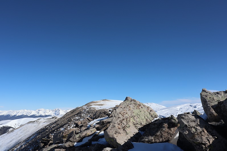
At the top of this hill I was disappointed to find I still wasn’t at the true summit, but determined to press on: I was too close NOT to summit at this point. So I kept going.

24

25

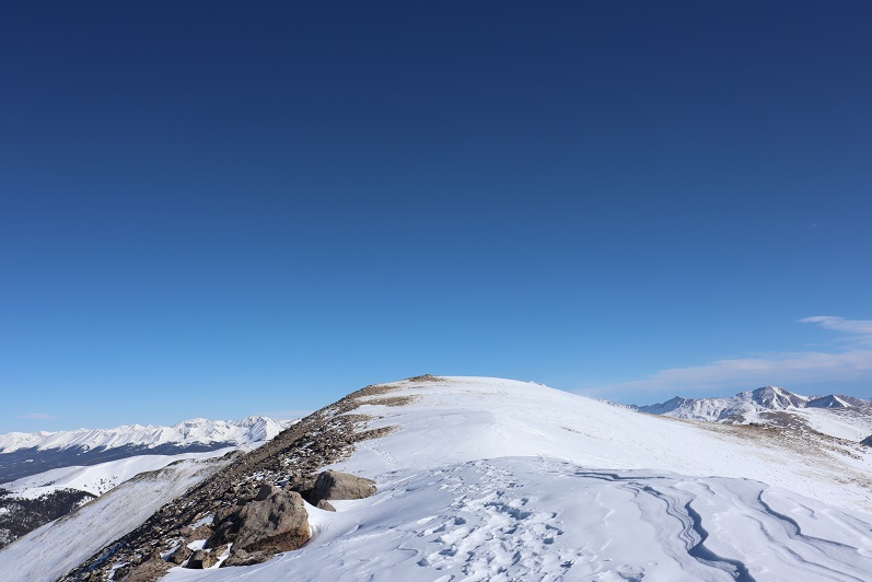
This last little stretch was still windy, but luckily not technical in the least. I also had a great view of PT 13,050 and the connecting ridge that I filed away for next time. I was so glad I’d decided against taking that route up today!

26

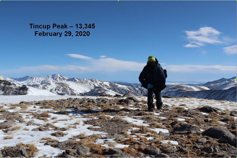
I summited and tried to take a summit photo but the wind kept knocking the camera (and me) over. I was finally able to get one shot while bracing myself against the wind

27

It was a quick decision not to attempt Emma Burr Mountain today: That wind was just too much and I still couldn’t feel my feet (I was getting worried now). I told myself I’d be back to get PT 13,050 and Emma Burr together another time. Here’s looking at Emma Burr Mountain

28

Time to head back

29

Here’s the path back to Tincup Pass

30

It was easy to avoid the cornices

31

32

And straightforward to Tincup Pass

33

The wind didn’t die down until I was in the same place where it had started. I made it to Tincup Pass and decided to take a selfie (my son took one here a few years ago when he was here with his Boy Scout Troop and I wanted a similar one to show him).

34

Here’s the trek out of the basin. I was surprised I hadn’t see anyone all day, considering it was a Saturday. The basin was empty: There were tons of fresh snowmobile tracks, but they were all from yesterday.

35

The wind died down as I made it back into the trees, and I was finally able to feel where my feet were. There was about half an hour of intense pain as the blood started to flow again, but I kept walking, knowing stopping to take off my shoes (etc) was a terrible idea.

36

The 6 miles back to St Elmo seemed long, but as I was just walking on a groomed road not to terribly difficult. Snowmobiles started passing me at alarming speeds, and a few times I had to jump out of the way and into a snowbank to avoid getting run over.

St Elmo was beautiful with the snow, and just as wonderful as in the summertime, except of ourse the chipmunks were now hibernating.

I made it back to my truck at 12:30pm, making this a 14.5 mile hike with 3590′ of elevation gain in 7.5 hours. There were several trucks hauling snowmobiles when I got to the parking area, and it looked like there were a ton of people about to snowmobile into the basin. I counted dozens of snowmobiles and just as many people walking around the town. I totally needed my time above treeline today: I felt energetic and excited and not the least bit tired. Being in the mountains seems to rejuvenate me. Time to head home and pass out come more cookies!

Screen Shot 2020-03-02 at 8.08.46 AM

PT 10245

1

RT Length – 14.15 miles

Elevation Gain – 4000′

Time – 7 hours

After our misguided attempt at PT 10245 a few weeks ago we really wanted to summit this peak asap, but the weather wasn’t cooperating and my cookie deliveries kept getting in the way. Finally, today seemed like a good day to try it again.

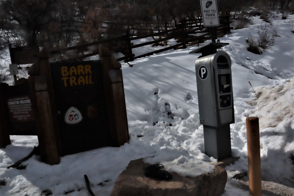
We arrived at the Barr Trail parking lot at 5:30am and were on the trail by 5:45am. The parking situation is the same as last time: $10 via card at the kiosk.

2

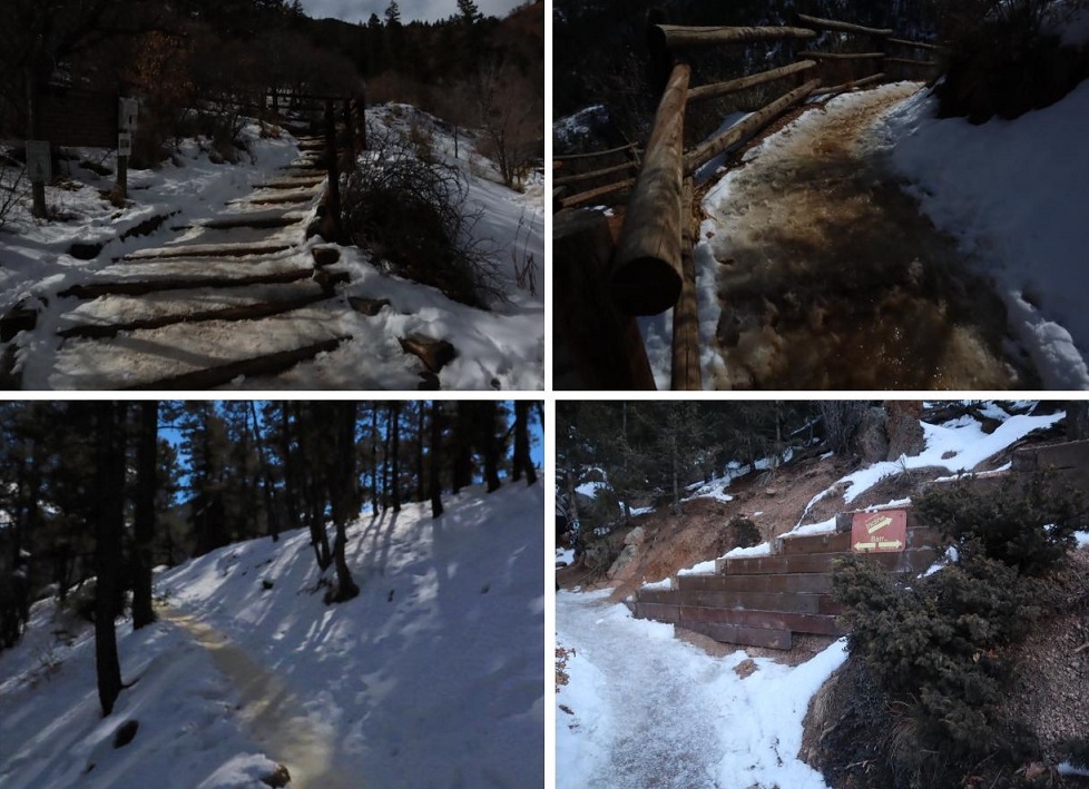
From the beginning microspikes were necessary. We kept them on for the entire hike.

3

The creek just after the Barr Trail / Incline turnoff was flowing nicely

4

The ‘cave’ had some snow

5

Just before the experimental forest, where the path was all ice 2 weeks ago it was now covered in several inches of snow and nicely trenched. This made it much easier to navigate.

6

We turned left at the experimental forest and continued along the well trenched Barr trail.

7

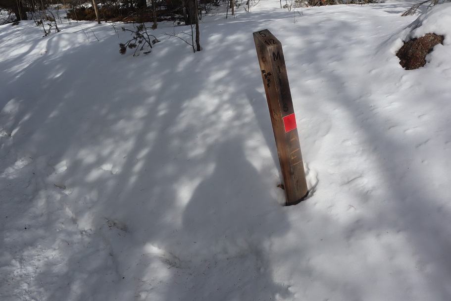
Past mile marker 5.5

8

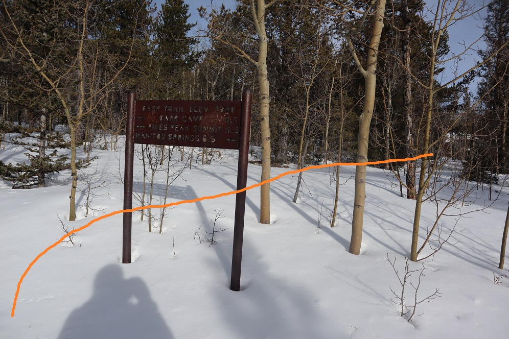
Here’s where we messed up last time: We had gone all the way to Barr Camp (6.5 miles) and at the advice of the guy staffing Barr Camp took the trail just after Barr Camp, ending up at AdAmAn Peak instead of PT 10245. To be fair, the routes are strikingly similar, and while AdAmAn is unranked, it is taller than 10245 at 10405′. This time we were prepared and looked for trail 671, which is about a mile before Barr Camp. This is where we found it:

9

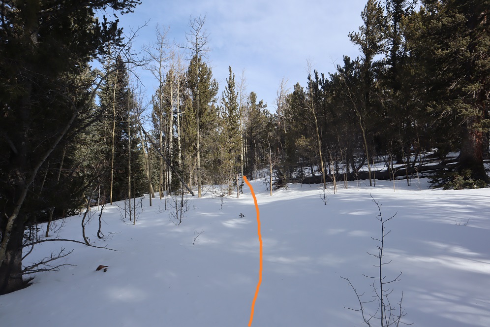
I’m sure there’s an actual trail here, but today it was covered in snow and not detectable. We put on our snowshoes and got ready to trench. At the above sign we left the Barr Trail and headed right (north), trenching our own trail, skirting the rock formation to the left

10

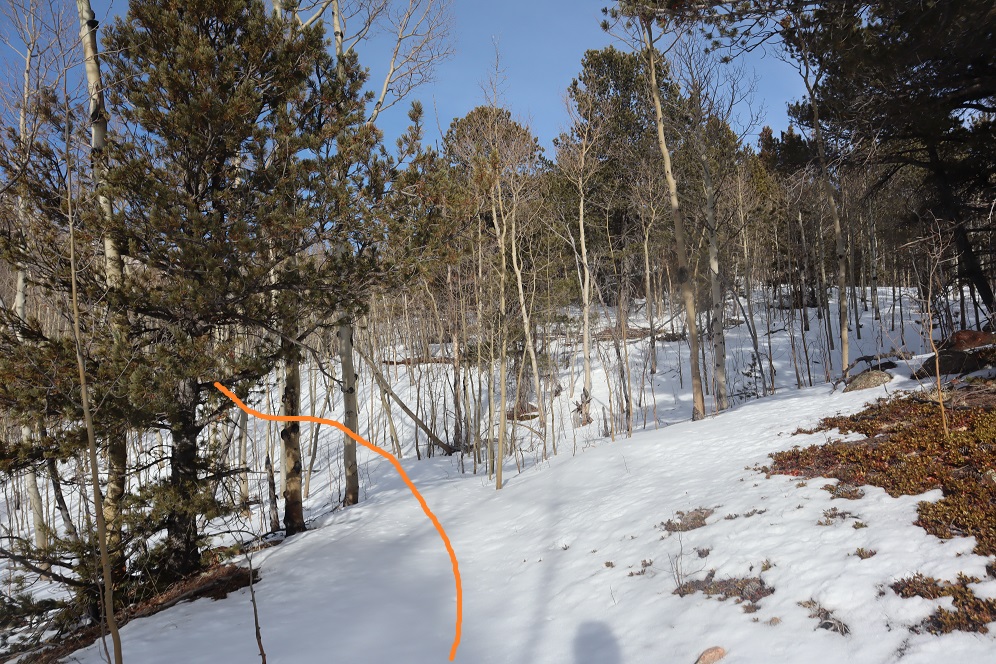
and heading down a small hill, losing about 200 feet of elevation before coming to a creek and turning left (northwest).

11

Here I was able to pick up the trail again anf followed it around the creek. Please note, this was NOT South Fork French Creek, but a willow filled off shoot.

12

13

14

We followed the ‘trail’ until it seemed to end. We were just about parallel with AdAmAn peak at this point. Here we turned right (northeast) and could see PT 10245

15

We were going to have to cross an aspen grove to get to the peak. When we were right in the thick of it Steffen said: “This looks like the type of place you’d see a moose” and about 2 steps later we saw evidence a moose had spent the night here. In fact, on our way back we saw moose tracks going over/through our trench, so we must have scared him/her away with our approach.

16

Once past the aspen grove we were in the willows. I’m pretty sure this is where we crossed French Creek, but it was frozen and covered with snow so all we saw was a marshy area. Trenching here wasn’t fun: I sank up to my thighs several times. Here’s the path we took through the trees to the summit

17

There were large boulders everywhere, and a band of boulder piles to the right that weren’t climbable. Sticking center left of the mountain seemed to work well.

18

At several points we wanted to take off our snowshoes, but then we’d encounter snow that made us thankful we hadn’t. The summit was located to the left, at the mountain’s northernmost point. There was a cairn indicating the summit. We sumited at 9:50am

19

There were beautiful views of Pikes Peak, with AdAmAn Peak below (the pile of rocks in the center of the photo).

20

We took summit photos

21

22

and headed back down, solidifying our trench

23

back through the willows

24

and to Barr Trail, where we took off our snowshoes and continued our descent. The trench on the trail was indeed deep in places, and microspikes were still appreciated after the incline cutoff.

25

26

We made it back to my truck at 12:45pm, making this a 14.15 mile hike with 4000′ of elevation gain in 7 hours. I got a bunch of pictures on the way back, but unfortunately I’m still learning how to use my camera and it had been stuck on ‘program’ mode for the entire hike down, making my pictures all dark and fuzzy. We gave each other a high-five at the bottom, glad to be able to say we’d actually summited the correct peak this time. Check off another El Paso County Highpoint! Here’s a link to the GPX file, for those interested.

Screen Shot 2020-02-17 at 8.15.28 AM