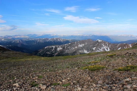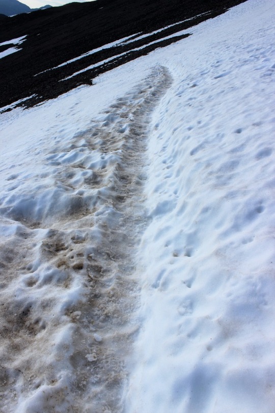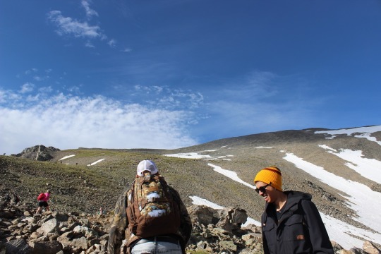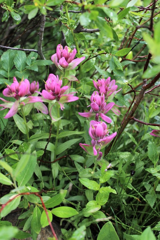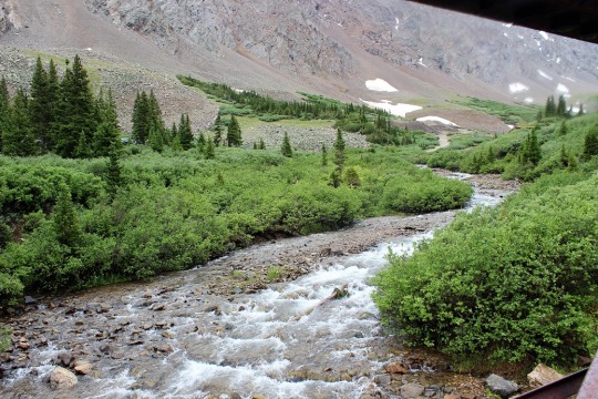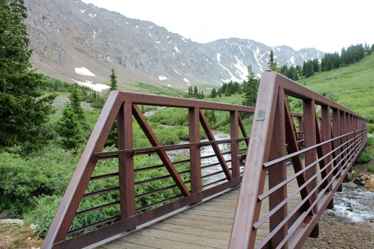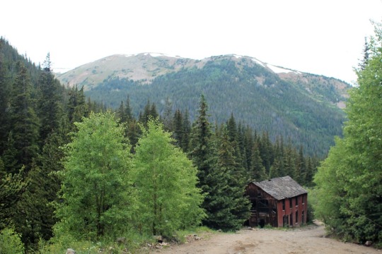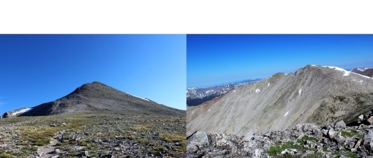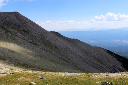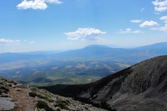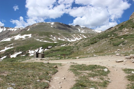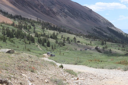
#14 Mount of the Holy Cross – 14,005

image

I picked Mount of the Holy Cross on purpose as my 14th
14er (Golden!).  I’d heard a lot of crazy
stuff about people getting lost, never being found, etc. so I wanted to kind of
turn my perception of this mountain around.
Oh, and the weather looked like it would cooperate in the morning, so I
went with it.  

This trailhead is 3.5 hours away from my house so I needed
to get up at 1:45am to make it to the trailhead with enough time to hike before
the weather set in (storms after 11am).
I know what you’re thinking:  Why
don’t I just drive to the trailhead the night before, park, and sleep in my
truck?  

Several reasons.  I
don’t sleep well at trailheads, so unless it’s 4 hours or more away I drive up
the morning I’m hiking.  I wake up at 4am
to go to work every morning, this was the end of my workweek, and the night
before this hike I had a meeting until 10pm.
I’d much rather get a good night’s sleep in my own bed, wake up warm and
to a fresh pot of coffee, and then head out to the trail.  The only downside is I’m a bit sleepy driving
(but not as much as if I’d gone the night before).  Coffee helps.

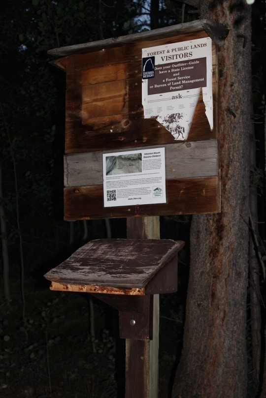
This trailhead (Half Moon Trailhead) was easy to find.  It was about 8 miles off a dirt road, but it
wasn’t too bad to drive.  I’m confident
just about any 2WD could have made it (but I put my Tundra in 4WD just to be
safe).  There were probably 20 other
vehicles there when I arrived (picture at end of post).  There was a bathroom but the lock didn’t work
and it was out of toilet paper.  No
worries:  I always bring my own.  

I made it later than I’d have liked (6am), and the sun was
already beginning to rise.  I usually
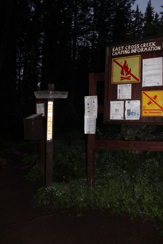
start about half an hour before sunrise, so I needed to get a move on!  I got out my maps, checked the maps at the
trailhead, verified my route, and was on my way.  
image

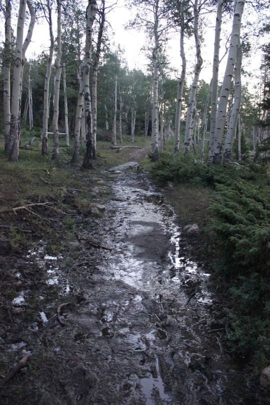
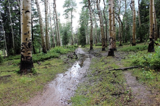
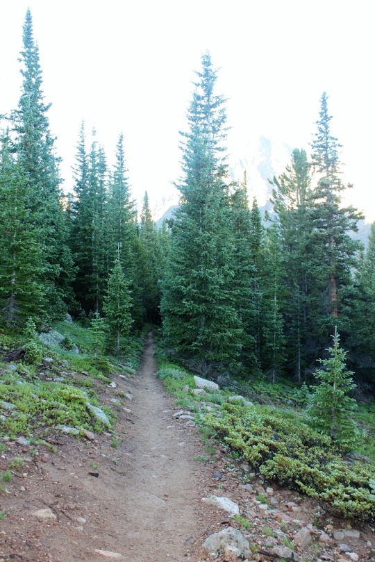
The beginning of this hike was quite easy.  It gained a moderate amount of elevation on a
well-worn path. 
image

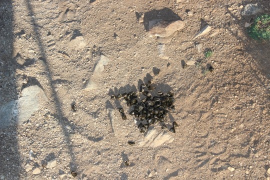
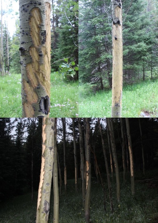
I saw several aspen trees that had been visited recently by
deer.
image

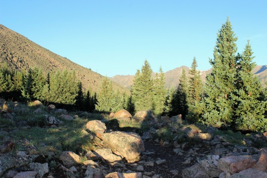
After about a mile and a half I came to Half Moon Pass.  At this point I was going to LOSE about 1000
feet in elevation, just to make it up again later.  This was ok with me though, because I’d
rather hike up than down.  I regularly
hike uphill (5-10 miles a day) so muscle memory would kick in.  
image

I ended up hiking down a lot farther than I thought I
would!  Then I rounded a corner, and
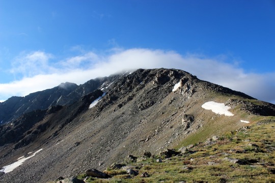
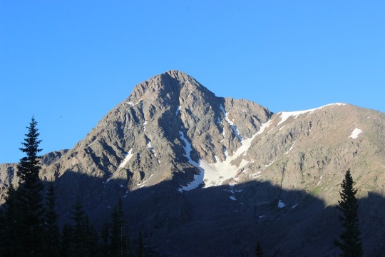
BAM!  There it was!  Mount of the Holy Cross.  My jaw dropped!  Woot!
I was going to hike this?!?
Awesome!!!  I was super excited
this was the mountain I was going to climb today!  This looked so freaking fun!

image

While not it’s namesake, I found a cross in the upper right of the mountain.  Though not quite as prominent as it would have been last month with
more snow.  
image

Cool fact:  When there’s
snow Mt Shavano has an Angel on its East slopes, and Mount of the Holy Cross
has a cross on its North Face.  Mt
Shavano is the furthest South in the Sawatch Mountain Range, and Mount of the
Holy Cross is the furthest North.  It’s
like an angel and cross hold the mountain range together.  

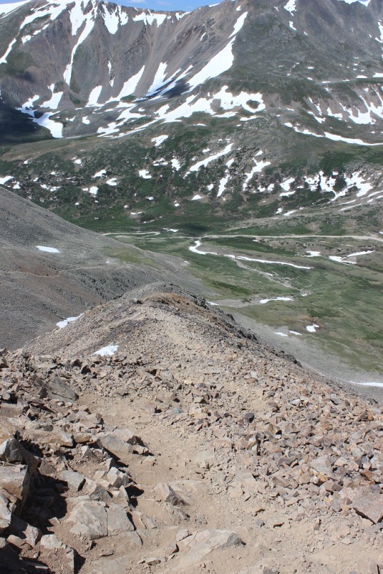
At this point the trail got really steep going down (which
meant extra work on the return trip), but I honestly didn’t care.  This hike was going to be amazing!

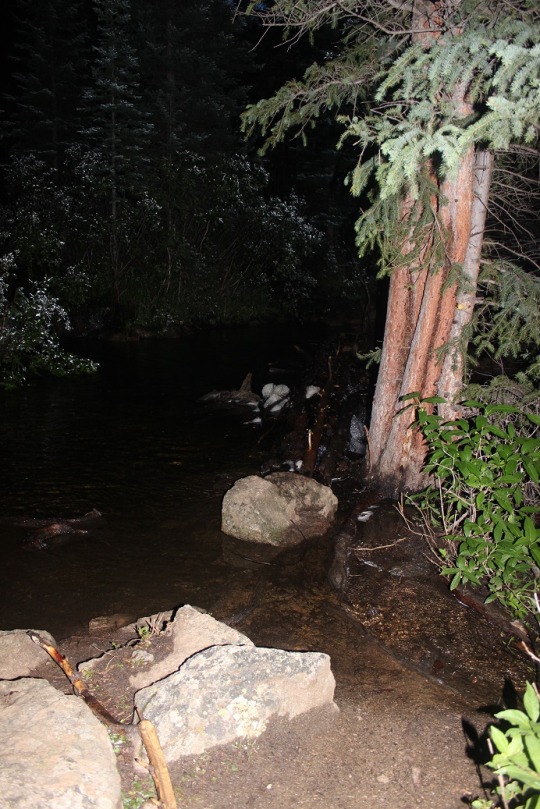
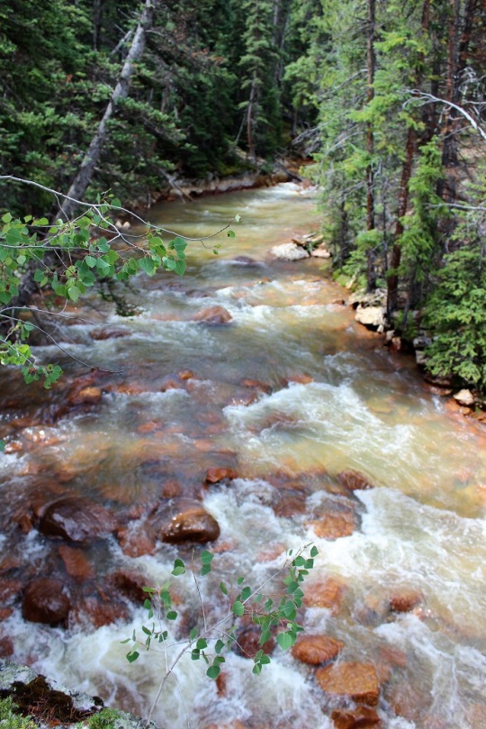
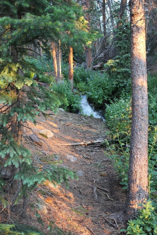
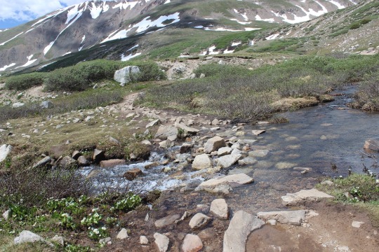
The downhill part stopped at Cross Creek.  I crossed Cross Creek and began regaining lost
elevation.  
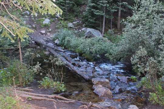
image

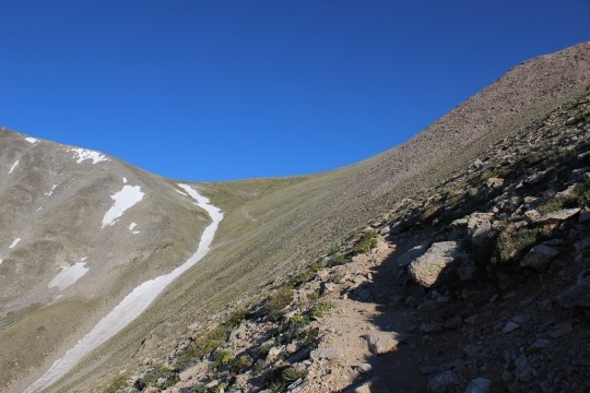
I just have to say, this
trail is very well maintained.  It’s
almost impossible to get lost because it’s so manicured.  I’m not sure if this was done after all the “incidents”
or before, but either way it’s appreciated.
The only way I could see someone possibly getting turned around is at
these campsites, but they’d need to be missing the indicators of the hiker
would need to be extremely naive.  
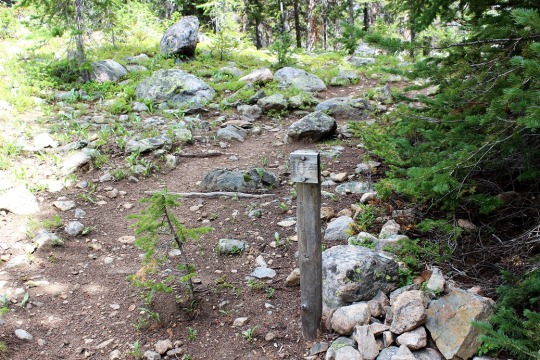
image

Cairns.  There were
tons of cairns, just in case the pathway of rocks wasn’t enough (which I know
it wouldn’t be in the snow).  

image

Mount of
the Holy Cross is to the left, the path is to the right.
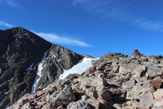
image

The only difficult part of this hike was the last quarter mile,
and it was only difficult because of the sun.
It just so happened the time of day I was hiking was right when the sun
was coming up over the mountain, casting an intense yellow glow directly in the
path I was supposed to take.  Sunglasses
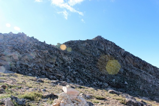
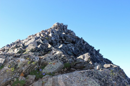
did not help.  I just aimed for the top
and kept hiking upwards.  Most 14ers don’t
have much of a trail the last mile or so anyway.
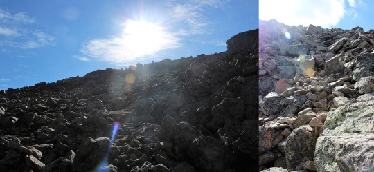
image

I summited at 9:20am.
I looked around, noticed all routes down looked the same, and placed my
hiking pole in a position to indicate which way I’d come up so I knew which way
to head back down.  This is really the
only way I could see someone getting lost:
taking the wrong trail down from the summit.

I took a picture to prove I’d made it
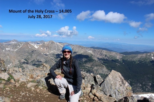
image

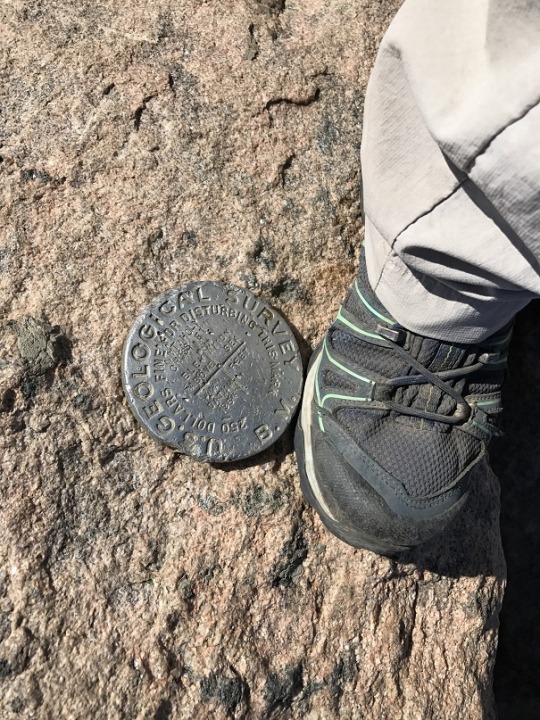
One of the summit marker (I was so excited this summit had
one!)
image

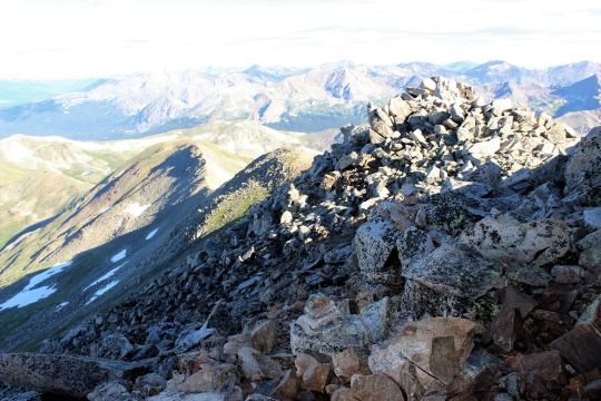
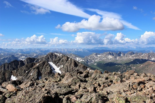
And a few of the amazing views!  Check out those lakes!
image
image

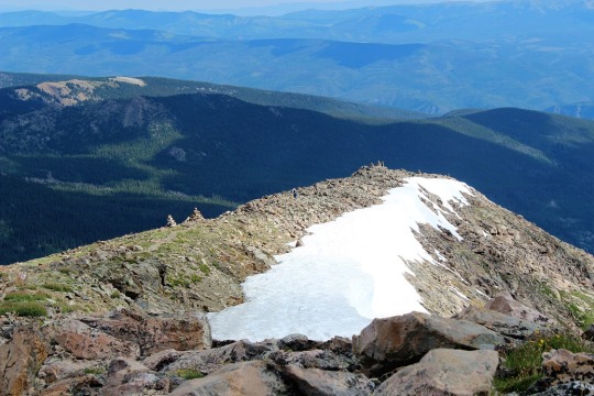
Then I was off back down the mountain.  I looked for the ridge I’d followed coming up
and was glad I’d indicated with my hiking pole:  there were 3 “similar” ridges.
image
image

Hiking down was pretty easy.
I once again looked for ways to get lost and had a hard time finding
any.  In fact, I found a trail I assumed
went to the lakes but it wasn’t what anyone would take instead of the main
trail (it was overgrown and didn’t look used).
I also met a few guys searching for a 13er route, but that trail wasn’t
visible either (I’d looked on my way up too).

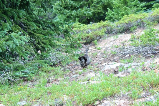
Oh, I saw a grouse…
image

And check out this tree:
how did that happen?!?!?

image

I made it back down to the trailhead at 12:45pm.  So I hiked 12 miles, 5600+ feet in elevation
gain in 7 hours.  Not a great time, but I
stopped to take a bunch of pictures, and I spent a lot of time at the summit,
so I’ll take it!

I’m pretty sure this is my new favorite 14er (besides Pikes
Peak:  That will always be my favorite as
I’ve hiked it 12+ times and it holds special memories).  I loved how it went uphill both ways, the
flowers were beautiful, and that mountain:
majestic!!!  This was much of the
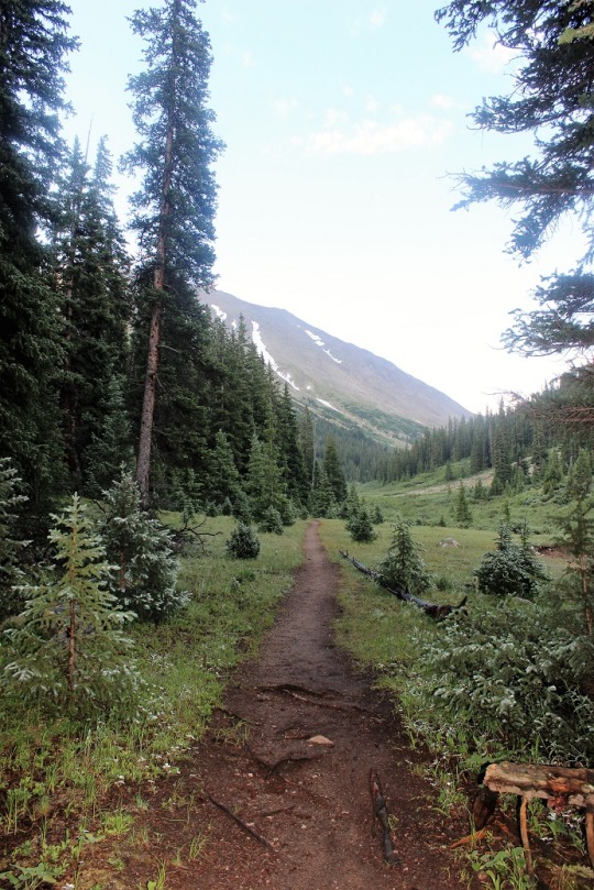
trail:

image

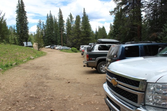
Oh, and when I got back down the trailhead was FULL of
cars.  Full.  That line goes for about a quarter mile.  
image

Notes:

I saw no less than 8 Park Service Rangers (2 installing a sign
at the summit and 6 hiking to the lakes)

There were a lot of people on this hike, but it didn’t feel
crowded.

I saw a nun hiking (she had on a hiking skirt that went to
her ankles and a nuns scarf).  She didn’t
start until 11am.  I hope she made it
before the storms set in.  

I can see how someone could get lost below treeline because
you can’t see any of the mountains and lose sense of direction, however above
treeline the trail is pretty easy to follow.
Descending from the summit is the only plausible way to get turned
around.

I had another guy follow me today.  Once again nothing creepy, but there has to
be a better way?  Guys:  do not follow 5,10,15, or 20 yards behind a
woman hiking alone.  You may think you’re
respecting her space but it’s just creep!
Several times I either walked faster, stopped, or encouraged him to pass
me.  The time I asked him to pass he said
he was just about to stop for a blister, and when I went faster so did he (and
slower was the same).  I never felt
threatened (he seemed like a nice guy) but it’s creepy just the same.  I felt like his pacer.  Guys:
Stop and give some distance or pass us.

Video from the summit:

The Mt of the Holy Cross summit sticker can be bought here
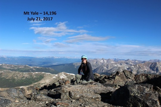
Mt Yale 14,196

image

My alarm clock went off at 2am this morning and I did NOT
want to get out of bed.  I was
exhausted!  After a very full week of
work, and Emily’s softball game that lasted until 10:30pm last night, I’d
gotten very little sleep this week (and only about 2.5 hours last night).  

Luckily my gear was all ready in the truck.  I turned on the coffee, thanked myself for
prepping it the night before, and started pumping myself up for the hike
today.  I’ve NEVER regretted a hike, no
matter how much I didn’t really want to go in the beginning.  I had set a goal of hiking all 14ers, and
there was no way I was going to achieve that goal if I was “too tired” on the
opportunities I actually had to hike.  By
the time I got in the car I’d changed my attitude.  Woohoo!
I actually had an opportunity to hike today!

I chose this hike because it was relatively close (2.5 hours
away) and moderate on length (9.5miles).
I wanted something a little challenging, but I had a 4:30pm appointment
for an oil change I needed to be back home for, so it couldn’t be too intense.

My directions were spot on, all except for the last little
bit.  I had two forms of directions (I do
this because the trailhead is often hard to find, on dirt/county roads with
multiple local and state names that differ).
One of my directions said to go 12 miles down this road, the other said
11.2 miles.  Well, at 11.2 miles I saw a
bear!  It startled me, and in fact at
first I didn’t realize it was a bear because it was way too small to be a
bear.  I thought maybe it was a very
large raccoon:  it was about 4 feet in
length, and I only saw the back ¾ of the animal as it finished crossing the
street and headed into the trees, but it didn’t have a tail.  It did have a rather brown, pear shaped
bottom though.  That’s when I realized it
was most likely a cub, and mama was probably close.    Since
I was the only one on this road I tried to stop to see it better but it was
hidden in the shadows.  Oh well, it was
still cool!

The trailhead ended up being 13 miles down the road, which
may not seem like a big deal, but it really is when you’re in the dark looking
for a trailhead that might be hidden.  In
any event, I found the trailhead full of cars.
Several had people getting ready for the hike today.  I gathered my gear, turned on my headlamp,
and asked two ladies getting ready in their vehicle if this was the correct
trailhead (there weren’t any signs).  We
were all here for the same hike so I thanked them and was on my way.

I got out my directions and they were pretty correct.  Let me emphasize here I was hiking in the
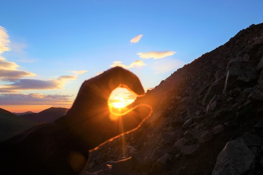
dark.  There wasn’t a moon to guide me
today, and I’d just seen that bear a mile down the road.  I knew there were a lot of other people who
planned to hike this trail today (I could see them in the parking lot) but I
didn’t know if anyone else was on the trail.
I’m not a fan of hiking in the dark without a moon, but on a day like
today it was necessary.

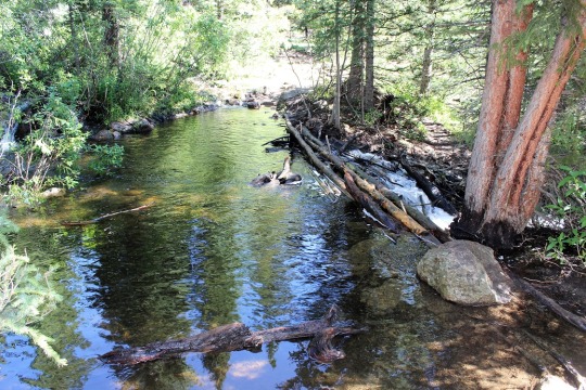
I only strayed from the trail once.  It was at this crossing.  I thought NO WAY am I supposed to cross
this?  It was completely dark at this
point, and this didn’t look like the right way (across the river).  So I followed a trail to the left for about ¼
of a mile that looked like a good trail but ended up being just a way for
people to look for another crossing.  It
didn’t lead anywhere, and when I discovered this I backtracked and crossed the
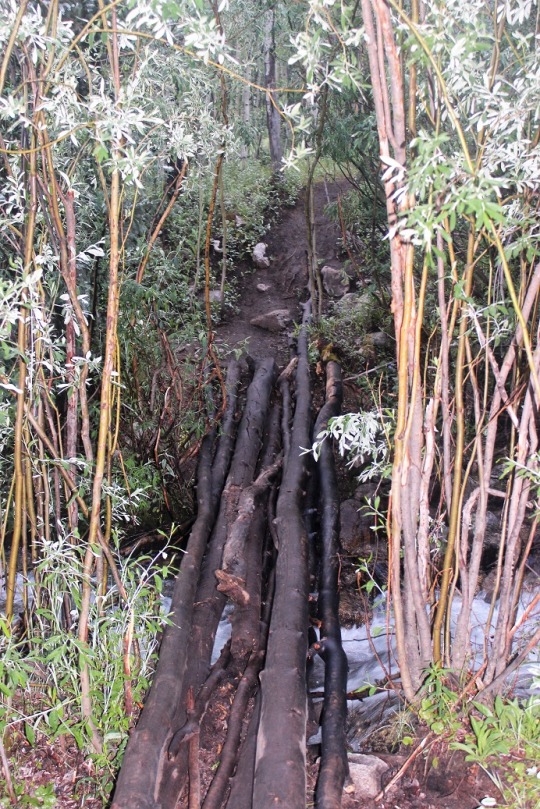
river.  In the dark.  Balancing on the wet logs and shuffling
across.  I had no idea how deep the water
actually was because my pole didn’t reach to the bottom.  But I made it and didn’t fall!  Woohoo!
I’d have to do this 3 more times and 3 more crossings (but only one more
was in the dark).

image

Just after the sun came up I stopped for a bit, and at this
point a couple hiking caught up to me. I wish I’d never have stopped because we
stayed 10 yards apart from each other for most of the hike up (and down).  I tried to either go faster or stop to get
distance, but they always mirrored what I did.
It was not fun listening to their conversations.  When I hike I like to hear nature… oh well!

Most of this hike was in the shadow of the mountain, which I
was happy with because otherwise it would have been hot!  Luckily there was no wind so it was a
comfortable hike.  Look at what I get to scramble!

image

I needed my directions for the first 2 miles, but after that
the trail was a piece of cake to follow.
Especially the ending ½ mile that was full of cairns.  FULL OF CAIRNS.  

image

That’s ok though, because it was pretty rocky.  

image

I’d started hiking at 5am and summited at 8am.  Not bad!
4.25 miles in 3 hours, uphill, with 4300’ in elevation gain!

image

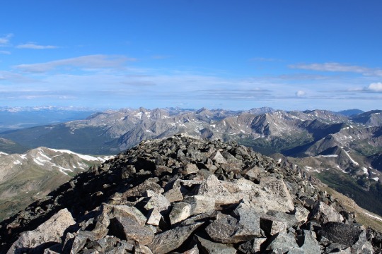
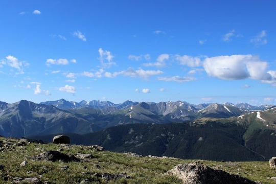
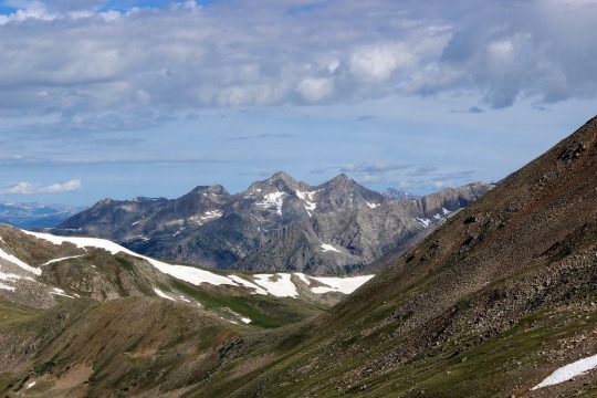
The view was absolutely beautiful!  You could see over 30 14ers from the summit.

image
image
image

When I got there 3 camp counselors from the Salida Boy Scout
Camp were there, hiking on their day off.
We chatted for a bit about scouts, and then I was on my way back
down.  

image

The only downside to the way back down was that couple who
followed me back down.  At one point I
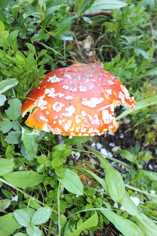
saw this mushroom, decided to stop to take pictures, and they passed me and I
never saw them again.  It was
wonderful!  

image

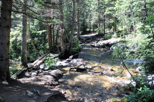
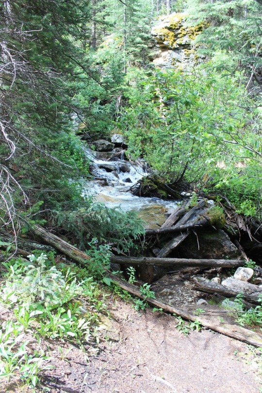
I crossed the streams again a few times on the way back
down, this time in the daylight.

image
image

There were a lot of people hiking up as I was hiking down,
but for once everyone seemed prepared and started at a reasonable time.  

I made it back to my truck at 10:45am and was headed
home.  Just under 6 hours for a 9.5 mile
14er.  

View from the summit:

La Plata Peak – 14,336

image

I was supposed to have a meeting at 8am today, but at around
10pm last night the meeting was cancelled, so I got out my spreadsheet, checked
weather, and thought La Plata Peak would be a good idea for a 14er
tomorrow.  

I got up at 2am to head for the trailhead.  Rebecca was in the shower (she takes 2am
showers because she has an off schedule), so I was able to say goodbye to her
before I left.  We only seem to catch
each other coming and going these days…

The drive there was uneventful, except for 3 cars all
hauling boats on HWY 24.  It looked like
they were travelling together.  It was
3am and I couldn’t pass them because they were driving too close together and
they were all doing 40 in a 60.  When I
was finally able to pass them because they veered right they chose that time to
turn left, and I had to honk really loud and probably looked like a jerk, but
come on guys!!!  We were the only ones on
the road!  Pull over and let the only
other car on the entire highway at 3am pass so she can go the speed limit!

The trailhead parking lot was super easy to find.  It was well marked and several other cars
were already there.  I forgot my high beams
were on and probably made a few car campers upset as they were getting ready to
hike.  Sorry!  I turned them off as soon as I realized the
problem.  

It was almost 5am and I’d gotten there half an hour earlier
than I’d expected.  Very cool!  So I got out my stuff, folded my map and directions
and put them in my pocket, and headed out on the trail.  My directions said to walk down the dirt
road, cross a bridge, and the trail would be ¼ of a mile down on the left.  It was really dark as I was hiking.  I had my headlamp on and swayed it from side
to side, looking for the trailhead.  

I passed a couple hiking towards me.  I figured they’d been out for a moonlight
hike to the peak and were on their way back down.  I apologized for shining my flashlight in
their eyes (I’d thought they were animals at first) and I kept hiking.  And hiking, and hiking.  I’d gone much farther than the ¼ mile, so I
got out my directions. Nope, I was on the right path.  I just had to keep going and look for that
bridge and then the trailhead would be ¼ of a mile on the left.  I was following the river however, and I figured this was La Plata Peak ahead of me?

image

So I kept on hiking for about 2 miles and eventually got to
thinking how there was virtually no elevation gain on this hike so far, and it
was supposed to have 4500 feet in elevation gain in 4.75 miles.  If I’d already been 2 miles without much
elevation gain this didn’t make sense.
All I was passing were car campers, and I kept thinking I should have
been allowed to drive on this road to the trailhead.  That thought made me turn back.

About 1.5 miles on the way back I ran in to a guy who was
hiking towards me.  I asked him where he
was headed, and he was going the same place I was.  He didn’t have a map (what is it about hikers
not carrying maps???)  but his directions
were the same as mine.  We talked a bit
and he decided I was probably right and walked the last half mile back with
me.  It was a bit awkward to hike and
talk with someone you didn’t know, but we made it work.  And yes, I’d missed the trailhead.  It was hidden behind some trees, but very
visible to me now in the light of day.
In the dark there’s no way I’d have seen it.  I did remember seeing the ReMax sign though,
probably because it glowed in my flashlight.
It caught my attention and probably diverted my attention from the
trailhead.  Oh well.  I looked at my watch.  I’d lost an hour and 15 minutes of time and
gained 4 miles on this trip.  Drat!

image

In any event, I said a quick goodbye to my current hiking
partner (I now had 4 miles and over an hour of hiking to make up for) and was
on my way.  He thanked me, but I never
saw him again on the way up or the way down.
I’m pretty sure he got lost by accidentally taking another trail.  

At this point I was only about 50% sure I was on the right
trail.  You see, I’d found a trailhead,
but it didn’t indicate what trail it was for. All the sign said was pick up
after yourself, put fires completely out, etc.
So I could have been on just
about any trail.  And my directions didn’t
match up.  Several small details were
wrong (I was supposed to hike 100 yards before seeing a turnoff I saw in 10
feet, and it took much longer than anticipated to find the gulch), but I kept
hiking anyway because several details were right (crossing the bridge, then the
makeshift log bridge, then following the gorge).  

image

I’m stubborn this way and it’s usually one of
the detriments to my hiking:  I keep
thinking what I’m looking for will be right around the corner, and since I hike
fast I can get far off my intended goal quickly.  Like I had this morning.  

image

In any event, after about 2 miles of hiking I pulled out my
altimeter and verified I was indeed on the correct path.  I hadn’t done this before because I didn’t
want to admit the directions could have been wrong.  In my mind I’d already done 6 miles and if I
was wrong at this point I’d just see where the trail went and try again another
day.  

image

But I was right.
Woohoo!  So I kept on hiking.  

I was absolutely positive I was on the right trail when I
hit these switchbacks (the picture is from the way back down).  As far as I’m concerned, “switchback” is a 4
letter word.  They’re dreadful and go on
forever without much elevation gain.
These switchbacks lasted well over a mile and seemed to go straight up
the gully, turning every 20 feet or so.
My calves were screaming when I finally reached the ridge.  On a positive note I saw several chipmunks
and pikas.  

image

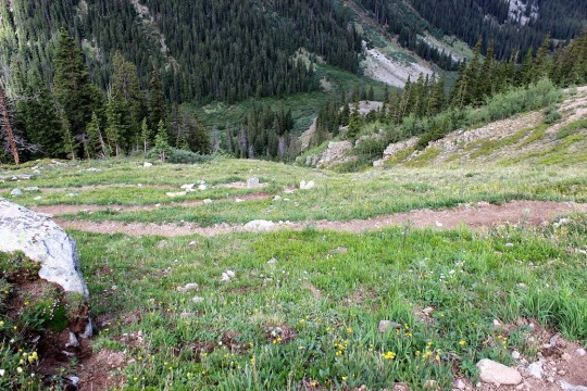
Oh, and most of the trail was in the shade, which was great
because it would have been miserable to hike in the heat  of the sun!

image

I kept looking back to see if my lost hiking buddy had
caught up, but never saw him.  At this
point I figured he’d taken the wrong trail (there were several trail junctions,
but my directions said to always veer right.
I’m not sure he had that information).

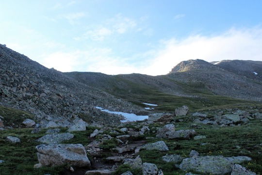
At the top of the switchbacks I reached a ridge and could
see the summit (covered in a low lying cloud).

image

I was now on the ridge, and it was now I started passing
other hikers.  I passed two ladies in
their 20s hiking in shorts (and freezing!) and the couple I’d passed earlier
this morning headed towards me on the trail.
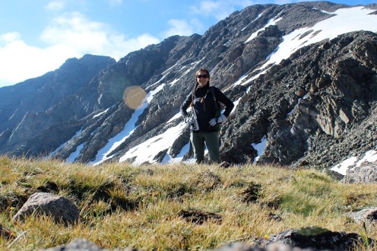
We chatted for a bit (she worked last summer in Salida as a trail guide,
but this was his first 14er) and I took a picture with La Plata Peak in the
background.  They offered to take it for
me, but I’m getting pretty good at this automatic portrait thing (I think?).

image

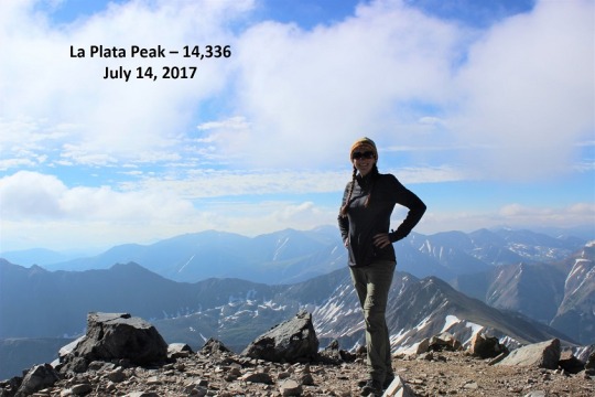
From the ridge it’s a 1.25 mile hike to the summit, much of
which isn’t marked by a trail, but that’s something I’ve gotten used to.  I’m pretty good now at just pointing towards
my goal and hiking to meet it, even though large rocks and scree.

I didn’t see anyone else on the trail until I reached the
summit, which is a complete win as far as I’m concerned!  For a Friday this peak was deserted! 

image

There was one guy there that looked to be
about my age.  We had a great chat about
14ers (he’s from Denver) and summits that require weekends.  He said his friend has made the same mistake
I’d made (missing the trailhead) so he was able to avoid it because he knew
what to look for.  While we were chatting
an older man summited as well from a different route.  He asked to borrow my sunscreen (absolutely!)
and I was offered whatever was in flask of the guy I was talking to.  I told him he carried it up so it was all
his, let them know I had a drink waiting for back at the trailhead in my truck,
and was off down the mountain.  

I made it about ¼ of a mile before I realized the guy I’d
been talking to was behind me heading down as well.  He stayed about 20 yards behind me the entire
way down, which was awkward.  Not in a
creepy way (we’d gotten along well) but in a “I have to pee and I can’t because
he’s too close” kind of way.  I’m sure
the ladies can appreciate this.  5 hours
above treeline is a lot when you need coffee to get you going in the morning
and you bring water to drink on the hike…

I’d rather he just hiked WITH me and we talked than he kept
his distance.  We were about 20 feet
apart by the end of the hike, and I’m not sure if that was intentional or
not?  I hike really fast and don’t take
breaks, so he had to book it to keep up with me.  Either way we didn’t talk again, even though
we were parked close to each other at the trailhead parking lot.  

I took a few pictures of the correct bridge (there were
several, but this one was kind of cool).

image
image
image

Oh, and as I reached the trailhead there was a girl there
walking back towards the trailhead.  I
told her “If you’re looking for La Plata, this is it, even though it doesn’t look
like it is.”  She was very
appreciative.  It seems she’d hiked 6 or
7 miles further than I had in the wrong direction and had just made it
back.  She indicated she’d try the peak
tomorrow and we both agreed they need better signage/directions.  

Total (correct) hiking time was 6:15am-11:30am, so just over
5 hours for a 9.5 mile, 4500’ elevation hike (or just over 6 hours for a 13.5
mile hike if you take into account my going the wrong way)

Here’s the view from the summit:

Grays Peak – 14,270 and Torreys Peak – 14,267

image

OK, so it says Peaks 10 and 11, but this is really my 22nd 14er if you count all my climbs, it’s just my 11thunique 14er.  And I summited on 7-11-17, which I think is
pretty cool.  Oh, and 11+11 is 22 and it’s the 11th and this is my 11th and 22nd peak… ok, I’m reading too much into this.  

I am so glad I took this hike today instead of yesterday!  

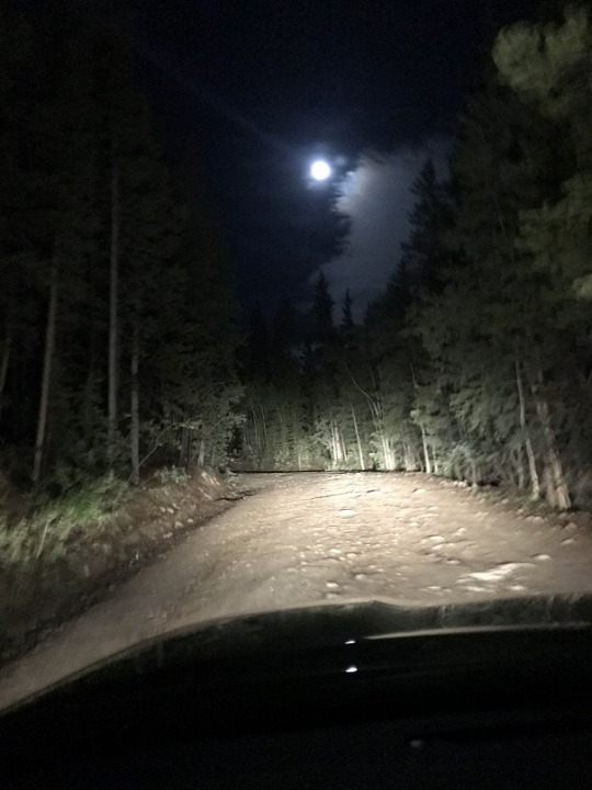
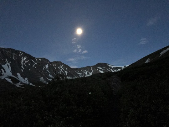
I drove up the 4WD trailhead to a full moon.  It was magical in a way photos can’s capture. I always try anyway.

image

I arrived at the trailhead at 4:30am and was surprised to see so many cars in the parking lot for a Tuesday.  I could see two people just starting the trail and two other groups getting out of their cars, so I decided to make a quick restroom stop and be on my way.  The restroom was DISGUSTING!  It had plenty of toilet paper, but it looked like everyone gave up using the toilet and just went on the floor.  There was excrement everywhere.  Yuck!!!

I grabbed my headlamp just to be safe, crossed the bridge and tried a few more times to get a good picture of how beautiful the full moon was but failed.  It really was amazing!  I didn’t need a flashlight to light the path because the moon gave off enough light. I LOVE hiking in the moonlight!

image
image

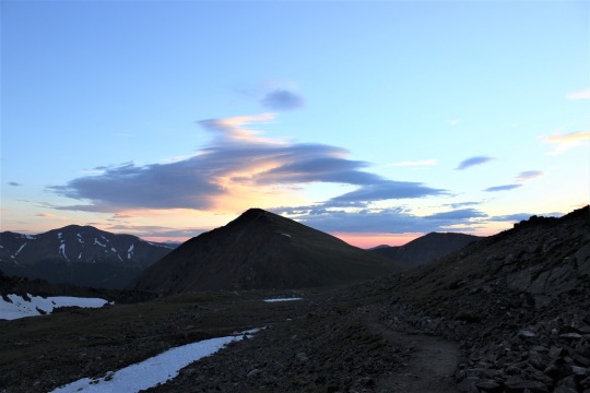
I passed the two hikers ahead of me within the first 20 yards, looked ahead and didn’t see any more flashlights and breathed a sigh of relief. Hopefully these would be the only people I’d pass this morning.  I walked for about 2 miles before the sun started to light up the sky.  

image

It was really neat seeing the sun and the moon in the sky at the same time, directly across from each other on wither horizon.  It was if they were wishing each other a good morning and a good night.  

I call this one “Between the Cairns”

image

The sun fully rose and I tried to get another Colorado Flag picture.  This was the best I got.  Not great, but not bad either.  

image

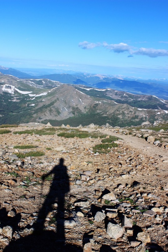
And here’s my usual shadow-selfie photo in the sunrise light:

image

This hike is kind of a loop, but more like an awkward kite.  It’s about a 2.5 mile hike in, then the trail diverges into two different paths: one to go up Gray’s Peak, the other up Torrey’s Peak, but they connect over the saddle.  It’s not a perfect kite, as you have to hike back down Torrey’s to get back to the saddle, but you get the idea (I hope, if not there’s a picture later).  It was at this point where the path diverges I met a couple trying to figure out which way to go.  I helped them out (they didn’t have a map) and talked with them for a little while.  They were with The Texas Roadhouse.  Today over 200 of their employees were hiking Grays Peak.  I sighed inwardly.  Wonderful.
There go my plans for a peaceful hike.

After talking with them for a bit they told me they’d planned on all
meeting up at the summit at 11am for a picture. It was now about 6am and they had a mile and a half to go.  I told them they may want to change their
plans, as storms were supposed to come in today at 10am and even if they weren’t, waiting at the summit for 2-3 hours is never a good idea.  

We parted and I continued on.  This hike was pretty easy for a 1 mile stretch to the summit.  Don’t get me wrong, it’s still a 14er and still difficult because of all that implies, but I’m not sure why it’s listed as a Class 2?  I had absolutely no difficulty finding the trail. It was great because I didn’t waste time route finding!  When I reached the summit there were three guys already there, laying in the wind shelter. I asked if one of them would mind taking my picture?  I could see right away they were all cold and weren’t up for the challenge, so I quickly said “No worries, I’ve got this, you work on staying warm” and set it up on automatic. 

image

 These guys were from The Texas Roadhouse as well.  They’d summited early and had set up a go-pro to capture everyone else summiting.  They’d
planned on staying until everyone reached the summit.  I discussed weather with them, and the fact they were already freezing. Were they really up for sitting on the summit another 3+ hours?  I left them to decide, took out a banana from my backpack for breakfast, and ate it as I headed down
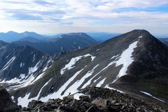
the ridge towards Torreys Peak.When I got to the saddle I looked back the way I’d come at Gray’s Peak.  Pretty cool!

image

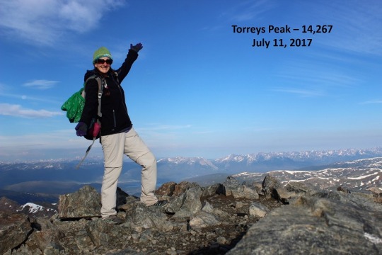
This summit was easy to find as well.  Lots of cairns on this hike.  Lots.  When
I reached the summit I was the only one up there so I set up my camera to
automatic again and got proof I’d summited.

image

Then I was off again. I passed a couple of really fit guys on my way towards Torrey’s, and again on my way back down.  They were winded and a little embarrassed I’d passed them, summited, and was passing them
again.  I did my best to make them feel better (I do this all the time, and I run 5-10 miles a day uphill when I’m not hiking, etc.).  They seemed mollified and
I took a look at the rest of the route before me.  

As you can see by the picture below, there’s one trail on the left that divides into two.  The one on top goes to Gray’s Peak, the one on the bottom is the way back down from Torrey’s Peak.  I was headed through that patch of snow on the right and back down to the trail.  

image

Ah, another beautiful view from the saddle!  I love saddle views!

image

OK, here’s the snow patch I needed to make my way through.  It was now starting to get warm and thus slippery.  It was pretty straightforward though.  

image

The skies were still clear but clouds were beginning to build.  I had no idea what time it was (I had forgotten to look when I summited due to the cold temperatures) but I wanted to be back at my truck by 10am to avoid the storms I knew were coming in.   At this point I started passing Texas Roadhouse employees.  TONS of them.  None of them were prepared for this hike with
anything except music on their phones, blasting for everyone to hear.  I talked to each of them on the way down. I don’t think any of them had a map, most didn’t know which peak was which, and they all needed help route finding.
Facepalm.

image

I advised them all to watch the weather.  They all seemed confused.  None of them seemed to realize the magnitude of what they were undertaking. They all had 2+ hours of hiking left to reach the summit, not to mention the hike back down. The entire hike is above treeline. There’s no place to go on the entire 8.8 mile loop if a storm breaks out.  The weather forecasted a strong likelihood
of storms beginning at 10am.  Blank stares.  

Since I’m sure you all know my feelings on this subject I’ll leave it at that.  I headed back to my truck at a brisk pace, intending to make it there before the rain hit.  

I saw a few more “new” flowers (I’m thinking these are some type of paintbrush)

image

And followed the creek.

image

Just as I crossed the bridge signaling the end of my hike the first few raindrops began to fall.  I was at least 2 hours ahead of anyone else on that trail.  I wished them luck, downed a beer, and got in my truck.  

image

When I turned it on and looked at the clock I thought that can’t be right?
It said 9:16am.  Wow!  I thought it must be at least 11am or 12?  Woot!  That’s a much better time than yesterday.  I did this hike in 4.5 hours, despite stopping and talking with all 200 of those Roadhouse people on the way down.  Not too shabby for an 8.8 mile 14er hike with 2 summits.  

A final view from the road back.  These houses always make me melancholy.  I’m sure at one time they held hope, joy, and memories.  It’s sad to see them left to the elements.  But that’s another post for another day.

image

Views from the peaks:

Mt. Shavano-14,299 and Tabeguache Peak-14,155

image

Today I hiked Mt. Shavano and Tabeguache Peak,
otherwise known as Shav and Tab to most because no one know how to pronounce
Tabeguache (TAB-uh-wash).  Up until late last night I wasn’t sure which
peak(s) I was going to hike today.  I’d
planned on three possible hikes for today before I left for Europe, and it
would just depend on the weather when I got back.  I really wanted to hike Redcloud, Sunshine,
and Handies because I had 2 days in a row available and I’m 75% sure it would
require an overnight, but when I looked at the weather for the area it showed
thunderstorms all day for the next two days.
Drat.  

So I looked up the two
other hikes I had ready, Shav and Tab, and Grays and Torreys.  They both had similar weather (rain and
thunderstorms at either 10am or 11am both days), so I decided to make a
spreadsheet.  In the end I went with Shav
and Tab because it’s further away (by half an hour), a longer hike (10.5 miles),
and had more elevation gain (5400+ feet). I figured if it was going to rain in
the afternoon both days at both places I’d get the harder one over first when
the rain was scheduled for an hour later and have more time to deal with
weather if it became an issue on the shorter hike.

For this one I was up
at 2am and on the road by 2:30am. I had to do a little work (like, for my job)
before leaving so it took longer than anticipated.  I was able to find the trailhead without too
much difficulty and began at 5:30am, at the last-minute stuffing a winter coat
in my backpack just in case. It adds about 3lbs to my pack (which honestly only
has water, some snacks and first aid supplies), but I’ve never regretted having
it on a hike.  

I hiked for a bit and
found the register.  I signed the date,
my name, Colorado Springs, and continued on.

image

The sun was just
beginning to light up the sky, waking up the crows, flies, and cows.  I heard them all for the first two miles or
so as I walked through a muddy trail.

image

Then the red glow of
the sunrise.  I always LOVE this time of
the morning on a hike.  It only lasts
about 5 minutes, but everything is bathed in a reddish orange glow.  It’s beautiful.

image

The sunrise woke up a
woodpecker (I’ll upload the video on Wednesday, sorry!)  

I walked over several
small streams those first few miles, then didn’t see any water for the rest of
the hike.

image

Early on in the hike I
passed a group of three male hikers.  They
were glad to let me pass, as they couldn’t keep up.  They were taking their time and didn’t know
if they were going to summit both peaks today or not.  Around mile 2 I started seeing scat.  Lots of it and it looked fresh.  Then out of the corner of my right eye I saw
something move quickly and bound up the hill.
I only say the legs, but I’m thinking it was either a deer or a bighorn
sheep.  I’m thinking sheep because of the
scat.  It even smelled like they were in the
area.  

image

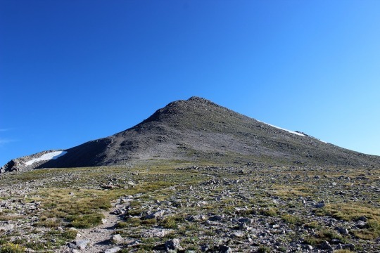
I rounded a corner and saw the Angel of Shavano, or
where she should be.  I’ve known of Mt.
Shavano for years, ever since we’ve started skiing at Monarch.  She’s the famous symbol of the area.  The Twisted Cork (where we like to go out to
eat when we ski) owns the Mt Shavano winery and the Angel of Shavano is on all
their bottles.  It’s a pattern in the
mountain when there’s snow that looks like an angel.  Kind of like a Native American Angel (hard to
describe, but that’s what she looks like).
The middle of this picture is where she’d be… only half of her is still
here due to snow melt.

image

This hike goes up, up, up, up, with just about no
leveling out.  I made it to the top of
the saddle, looked right, and could see Mt. Shavano, but I didn’t know it was
Mt. Shavano at the time.  To be honest most
hikers, no matter how much research they do, aren’t sure which one is the
actual peak until they’re hiking it.
Most hikers today thought it was a peak to the left.  Nope, this is it.  As you can see, I cross the saddle, then make
my left before swinging over to the right to cross between the two humps, and
then around again to the left to summit.

image

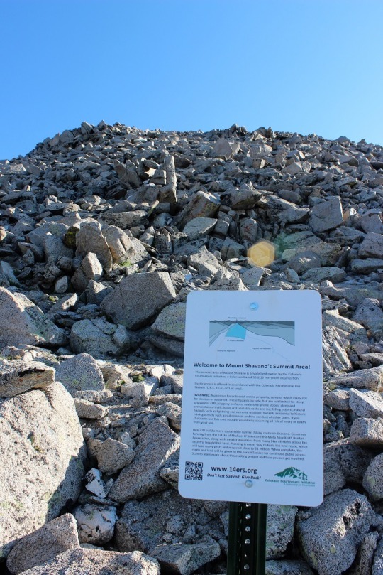
I came across this sign about half way up that
mountain.

image

There was no clear trail, but a bunch of little trails
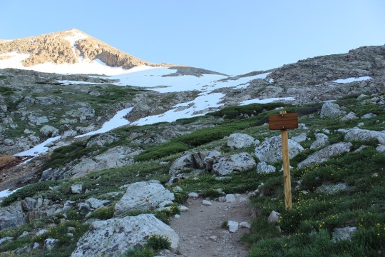
to try and follow.  Probably because this
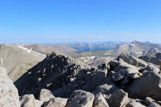
is a popular snow route and it’s sometimes easier to just make it up as you go.  In any event, I summited, and was super
proud!  Oh, and it wasn’t windy and I
didn’t need my extra jacket!  Bonus
points for this peak!

image

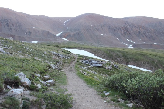
Now to find Tabeguache.  I got out my map and figured out which peak
it was, and my stomach dropped.  I was going
to have to cross this ridge (there was no trail, I just had to cross it).
image

Here’s a better picture.  I had to cross the ridge to the bottom right,
then go down and left towards a saddle, and follow the snow line to the left to
the peak.  I took a deep breath and was
on:  I’ve got this!

image

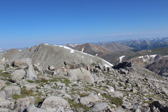
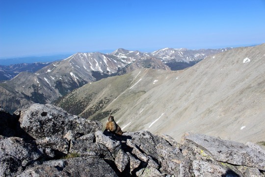
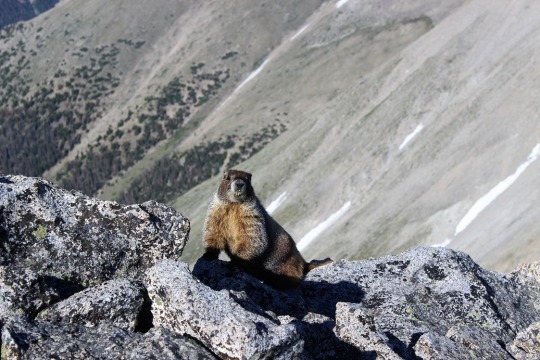
I met a rather photogenic marmot just as I started
descending Mt Shavano towards the ridge.

image
image

As I was hiking I was continually disturbed there was
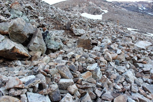
no actual trail to follow.  My mind got
to wandering and I got to thinking about how dangerous it was not to have a
trail to follow.  I knew this was senseless
because of the activity I was partaking in, but I felt it anyway.  For some reason, I felt entitled to a
trail.  Well, there wasn’t one, so I
aimed towards where I needed to go and just worked my way towards it.  

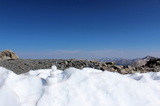
As I was crossing the last patch of snow I spied a snowman.  So cute!
There was one other hiker ahead of me (I’d noticed him off in the distance
as I summited Shavano), and I’d seen him stop here, but I thought he was just
resting.  This was much better!

image

There was just a little more ways to go.  I skirted the snow to the left

image

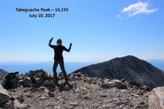
And all the sudden, I was there!  I’d summited!
I was super proud of myself for this one!  I’d hiked for over a mile down one mountain
and up another, over piles and piles of rocks, without a trail, and still
managed to get where I needed to go.  It
was now 9:30am and there was one tiny cloud in the sky.  

image

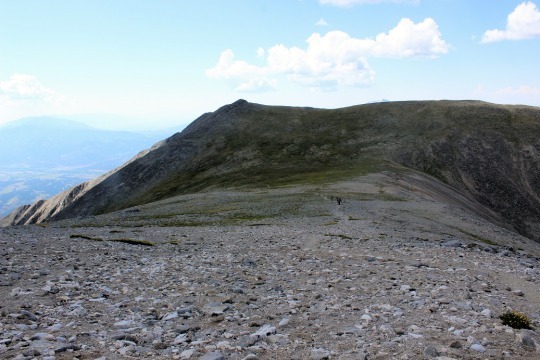
I turned around and saw what I’d hiked thru without a
trail (that’s Mt. Shavano as seen from Tabeguache). I’d hiked just over 5 miles
in 4 hours.  That’s a very, very slow
hiking time for me, but I had hiked over 5400 feet in elevation, so hiking 1100
feet in elevation an hour isn’t so bad, right?

image

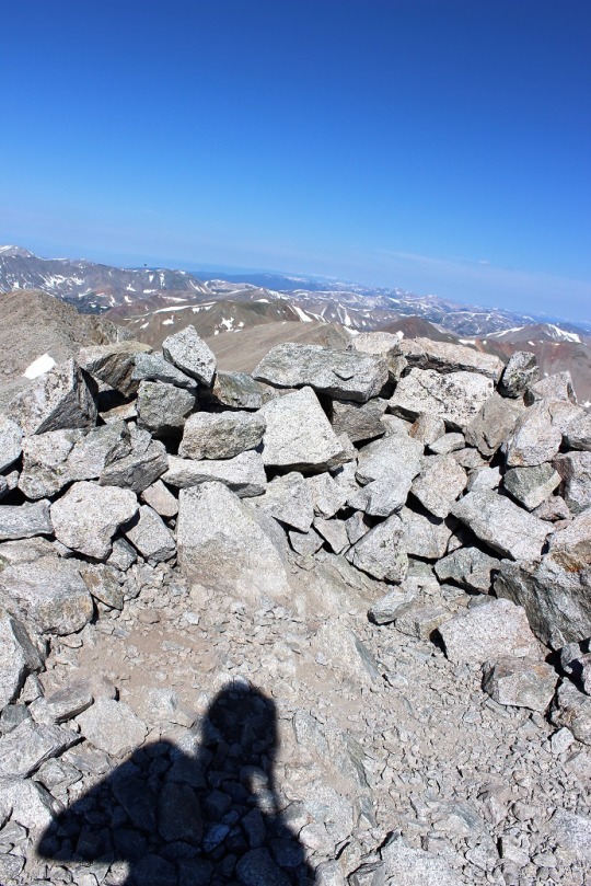
I took a summit-shadow-selfie and was back on my way.  I don’t like to spend too much time at the
summit.

image

At the saddle I had a great view of Mt. Antero.  I’ll probably do that one soon…

image

This hike is an out and back hike. So I hiked up Mt.
Shavano, then to Tabeguache, then down Tabeguache, back up Mt. Shavano, and
down Mt. Shavano to the trailhead.
Basically I summit Mt. Shavano twice, which seems awfully unfair since
it only counts as two summits.  

As I was hiking back up Mt. Shavano I got to thinking
about what I’d just accomplished.  Sometimes
there isn’t a trail, and that’s ok.
Maybe you need to make your own trail.
Set a goal, keep your eye on that goal, head in that direction and keep
putting one foot in front of the other. Eventually you’ll make it.  It may not be how everyone else made it, but
you can make it just the same.  There’s a
moral in there somewhere…

I summited Mt. Shavano a second time and saw the group
of three hikers I’d seen earlier.  They
were impressed I’d already hiked out to Tabeguache and back.  I was about 2 hours ahead of them hiking
time.  We discussed whether or not they
could make it to Tabeguache.  They weren’t
planning on hiking it because they didn’t have a ‘summit sign’.  I thought this was a lame excuse, but did comment
on the clouds building quickly.  When I’d
looked at the weather last night it had said thunderstorms were highly likely
after 11am, and it was now 10:15am.  While
it had been clear at 9:30am clouds were quickly forming.  I wished them luck and told them to watch the
weather.

Unfortunately, people just don’t realize how quickly
weather moves in on a 14er.  The weather
can turn in 15 minutes and put you in a dangerous position.  I saw about 15 hikers as I was making my way
down to the ridge.  For some reason, I
feel a personal responsibility when I’m hiking to everyone else hiking the same
trail, since I’m usually the one with the most experience. I talk to them all,
ask how they’re doing, if they’ve ever done a 14er before (or this one), where
they’re headed, etc.  It takes time out
of my hike but I feel responsible to advise in some way because I have more
experience.  

I told each and every hiker on my way down to watch
the weather.  I got a lot of responses,
none of which sounded concerned.  Most
said things like “it’s not forming too fast” or “it doesn’t look that bad” or “we
aren’t supposed to get rain today, are we?”.
But I had more information than them.
I knew it was supposed to thunderstorm today.  I advised them to watch the weather and if
they couldn’t hike it in an hour to turn back.
None of them did, and I also knew none of them could make it the rest of
the way in an hour. Hmmmm.

image

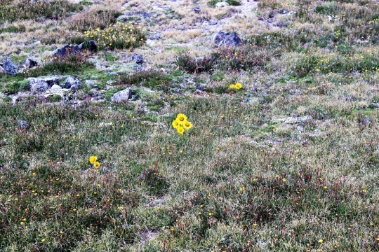
I crossed the saddle and came upon an alpine
meadow.  I love how these flowers seem to
be saying “hi”.

image

Then I turned and saw the trail back.  Ugh!
This wasn’t going to be fun.  The
entire trail was up, up, up (much more than is visible in this photo).  While it was challenging to hike up it was
extremely difficult to hike down.  I
couldn’t hike fast.  There were just too
many rocks in the way and it wasn’t safe to hike down any faster than I’d hiked
up.  Oh, and notice the shadow in the
picture?  Clouds are beginning to
seriously form above me.  I needed to
make it to the treeline as fast as possible.

image

At least the view was great!

image

So, I hiked and hiked and hiked and hiked down, down,
down.  It was slow going and I really had
to pee, but, you know, I’m above treeline so that’s not really a good
idea.  Just as a side note, NEVER pee
directly on a trail.  Besides the obvious
‘ew’ factor and LNT and all that, no matter how sure you are you’re alone, you’re
not.  Someone WILL come into view as soon
as you drop your pants.  This is a fact.

Anyway…  about a
mile after I made it past treeline I started feeling drops of rain.  Small, icy, cold drops of rain.  They started out slow, and then I heard
thunder and it started pouring.  Within
30 seconds there was thunder and lightning everywhere and it started to
hail.  I quickly pulled out my winter
jacket (Woot!  See?  I’m always glad to have it) and put my camera
into my backpack to keep from getting wet (so no pictures, sorry).  At one point, it was hailing so hard I wasn’t
sure if I was still on the right trail, but I was below treeline and I needed
to keep getting lower, so I continued.  

The entire time I kept thinking about everyone behind
me on the trail who hadn’t turned around when I’d warned them of weather.  I was absolutely positive they were ALL still
above treeline at this point, right in the middle of that thunder and lightning
and hail.  I sent encouraging vibes their
way and continued onward.  

Eventually the rain stopped and all that was left was
water slowly dripping down from the trees.
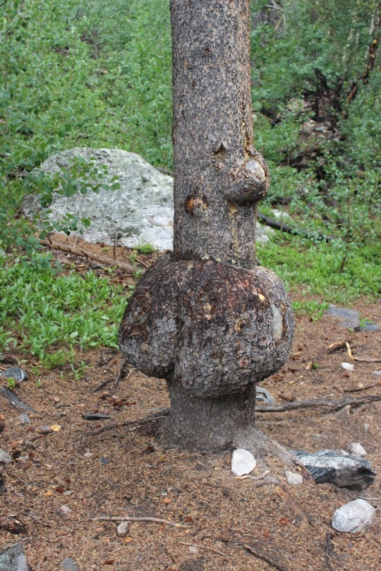
I was roasting in my coat (but dry!) and started looking for a time to
take it off.  I came upon this tree,
figured it was something I needed a picture of, stopped and made the switch
(and took the picture).

image

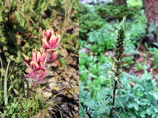
I saw several pretty flowers on the trials today.  Here are just a couple…

image

The last 2 miles seemed to take forever.  I mean, forever.  And they kind of did.  It took me 4 hours to summit and 3.5 hours to
make my way back to the trailhead when I would have expected it to take about 2
hours to get back down.  I found the
register, added #8 and #9 to my name (it seemed bad luck to do so before
actually summiting them) and sloshed my way back to my truck.  

image
image

I got a lot of good thinking done on the mountain
today.  Oh, and I’ve now decided to write
a book.

Woodpecker:

Views from the top:

Mt Vesuvius – 4,203

The hike up Mt Vesuvius wasn’t actually all that long, but it did have 1000 feet in elevation gain  And a lot of visitors!  Most were ill prepared, wearing shorts and sandals.  The summit is only 4203’, but it’s really close to sea level.

There were several snack/drink huts along the way.  Yes, you could even have a summit limoncello shot!

We thought we were about half way done with the hike when we rounded a corner and were there!  We made it to the top, took a bunch of pictures, and visited the summit shop. 

We got a few souvenirs as gifts:  a volcanic rock (which they assured me was from this volcano), a volcanic cat and lizard. We bought the rocks instead of just taking them because of LNT.

Half way down we got a lemon/orange ice drink.  It was cool to see how they made it with a block of ice and fresh fruit.  They were €3 each, for a very small cup, but they tasted great. 

The trail was very dusty and dirty from the volcanic rock.  Once again, the views would have been great if it hadn’t been for the fire. 

Our tour was late getting back so we missed our first train by 10 minutes and are now waiting on the next train (they leave every hour).  It’s REALLY HOT and there’s no A/C on the train!

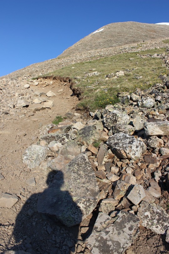
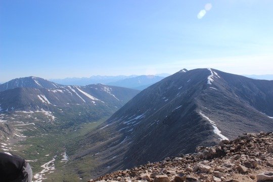
#4,5,6 & 7 Decalibron 14,148- 14,238 – 14,286 – 14,172

image

I seriously needed this hike today.  I mean NEEDED it.  I’ve had so many negative things going on in the past 2 weeks I needed a break from life for a bit.  Time to clear my head.  It’s a 7.5 mile hike that covers 4 different 14ers, so I was hoping it would give me time to think and process all that’s gone on.  I also chose it because I heard there’s a problem with one of the peaks and I didn’t want to get any of my girls into trouble by hiking it, so today seemed like the perfect time. 

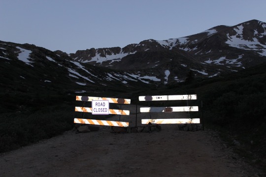
I woke up at 2:30am and made it to the trailhead by 5:30am.  There were already 5 cars at the sign that said “road closed”.  I had to do a 30 point turn to get my truck turned around and not fall off the side of the cliff or into the ridge on the other side (notice would have been nice road guys) but I made it.  

image

So the road to the trailhead’s closed. Great.  Oh well.  That only added about 1.2 miles to the total hike, so that would bring this hike to 8.7 miles.  Still doable in the time frame I had.  So I got out and started walking up the road. 

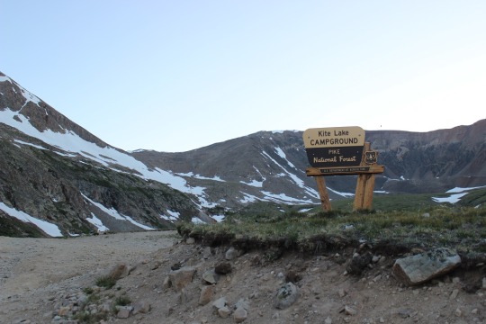
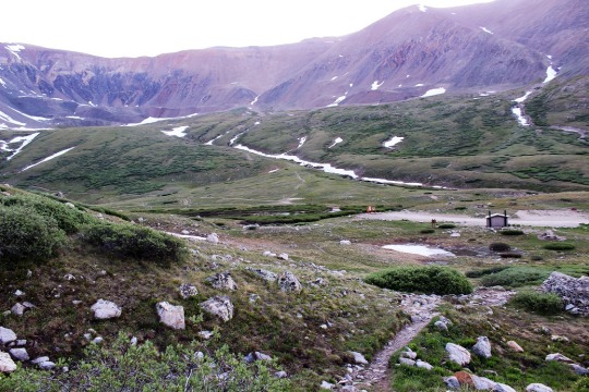
When I got to the trailhead at Kite Lake there were several groups of people standing around, talking.  

image

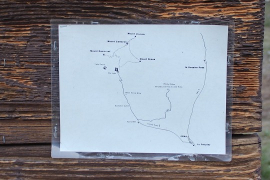
UGH!  I do not like hiking with tons of people!  I hate playing leap-frog, so I looked at the map posted to the board (instead of my instructions/map), took a picture just to be safe, and just headed out at the trailhead. 

image

As I reached the top of a hill I got out my instructions and compared them to where I was.  I’d crossed some fields of snow and I wanted to make sure I was on the right track.  Yep, there was the old mine.  I was good to go. 

image

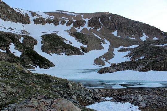
I went up a snow field, and then was surprised to see a lake?  This wasn’t on my map or instructions.  Weird.  

image

I got them out again and looked.  Nope, no lake on my route.  So I called back to a group of girls hiking behind me, asked them which trail they were hiking.  The same one I was.  Cool!  Do you have a map?  Apparently not, they’d just been following me.  Ugh!

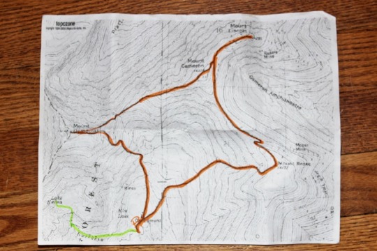
So I took a closer look at my map, and it seemed in my haste I’d started off on the wrong trail.  The orange lines were where I was supposed to go, the green is where I actually went.  Oh, and the green line trail isn’t in the picture I took at the trailhead, so I didn’t even second guess when I’d started. 

image

Deep breath.  I had a lot I could blame it on, but in reality this was a rookie mistake I made because I was in a hurry and don’t like people.  Lesson learned.  Never again.  This added another 3 miles onto my hike (1.5 in, 1.5 back to the original trail, so now I was looking at 11.7 miles).  So I quickly turned around and headed back.  When I reached the correct trailhead it was 6:40am.  Drat!  I’d lost an hour of time!

image

From here until close to the peak I had pretty good signage.  I noticed one saying the Bross trailhead was closed.  Good to know.  I took the Democrat/Lincoln one instead. 

image

The hike up Mt. Democrat was, as I said, pretty well marked most of the way.  I passed 2 groups of hikers and luckily we didn’t play leap frog!  

image

At the mile mark I came across the CORRECT mine and continued on. 

image

The trail for most of the way was rocks.  Lots and lots of rocks. Unfortunately that often makes it difficult to find the correct trail. 

image

Pikas like the rocks.  They were all small today.  I took a pikature.

image

The sun finally came up, I took off my jacket and put on sunscreen.  This shadowselfie is actually important.  

image

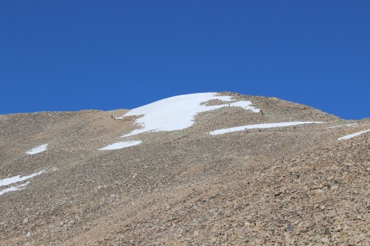
You see, I’m actually looking at all the hikers on the ridge and snow and trying to get a gauge of where the trail goes.  You can note at this time none of those hikers were on the trail (something I didn’t realize until I hiked it myself). 

image

The trail actually goes to the far right, and none of these hikers is even close to it. I found this out on my way back down, but I made it up so it’s all good! These types of hikes often require route finding.  As long as you have the peak in sight you’re usually good.  When I got close to the summit I found the correct trail and just had a little further to go.  

image

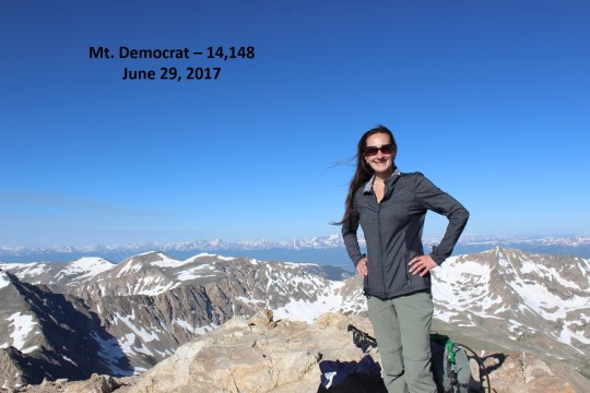
Woohoo!  I made it!  The summit had no less than 20 people sitting and enjoying a snack. 

image

I had one of them take my picture, offer me some twizzlers (I declined because I don’t like to hike and eat) and took a quick video of the peak. (see all videos below)

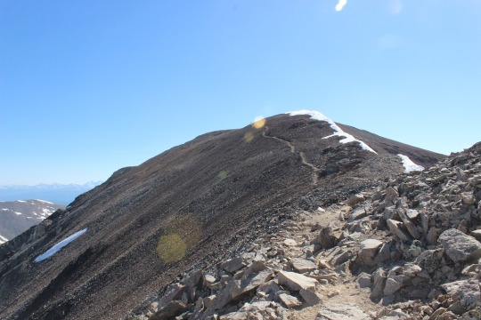
Now it was on to Mt. Cameron!  I found the trail and went down the summit the correct way.  It pretty much followed the saddle and went up the ridge.

image

Here’s a closer view

image

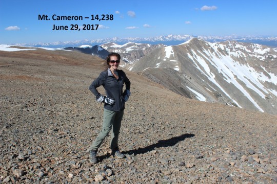
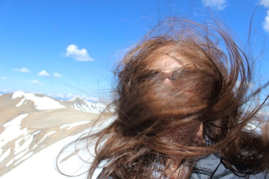
This ridge is where it got really windy.  I mean really, really windy!!!  I’d taken my hair out for the Democrat picture and my fingers were frozen so I couldn’t put it back properly.  The wind was having a field day.  When I summited Mt. Cameron there was one other person there.  He took my picture and I was off.  

image

Oh, but before that, I’d like to explain why Mt. Cameron isn’t an “official” 14er, even though it’s clearly over 14,000 feet.  

It’s not official because it does not have enough prominence.  A mountain has to gain at least 300 feet off the ridge to be considered an official 14er. So it’s not part of the 14er challenge but I count it as one I’ve summited anyway.  I’ll do the same for you.  

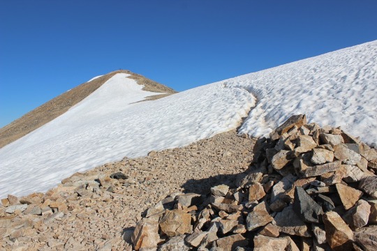
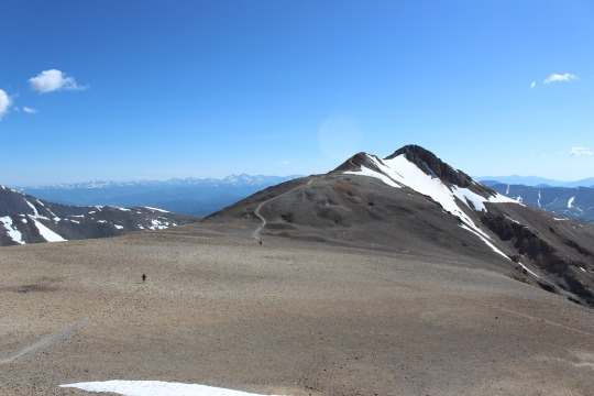
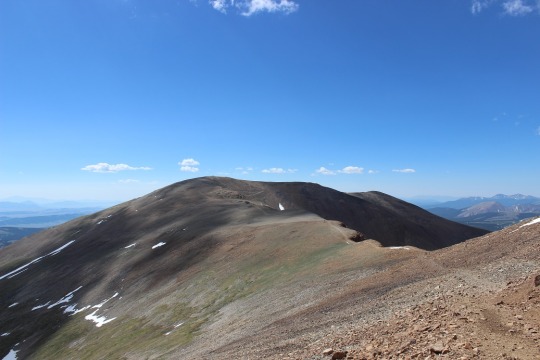
Once I made it across the ridge I could see the path to the summit of Mt. Lincoln.  It kind of reminded me of the moon. 

image

The wind only picked up from here.  I took out my hair and tried to brush it (which happened to be a mistake).  See?

image

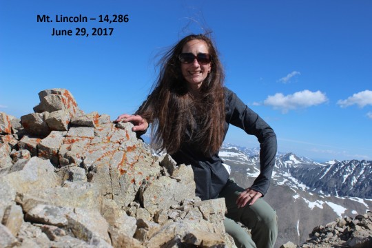
I was the only one on this summit, so I had to take the summit picture myself by setting the camera to automatic (since the selfie thing wasn’t working).  Not great, but not bad, considering the wind and all. 

image

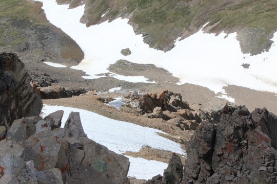
I don’t like to stay on summits long, so I headed down the trail.  There were old mines all over the place!

image

Here’s where it gets tricky.  You see, as I was heading down someone pointed out Mt Bross to me.  

image

It looked like it was directly on my path down, and as I hiked further I realized it was.  I never saw a sign indicating the trail was closed from this end, so I decided to take it across.  I saw Kite Lake from the ridge.

image

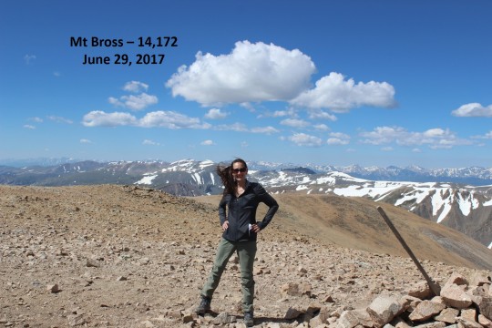
I ended up summiting much quicker than I’d anticipated.  I just crested a ridge and was there.  So were about 10 other people, sitting in a wind shelter (that wind!)  I had one of them take my picture (I’d put my hair into a ponytail by this point, as the wind had actually snapped my barrette in two).  

image

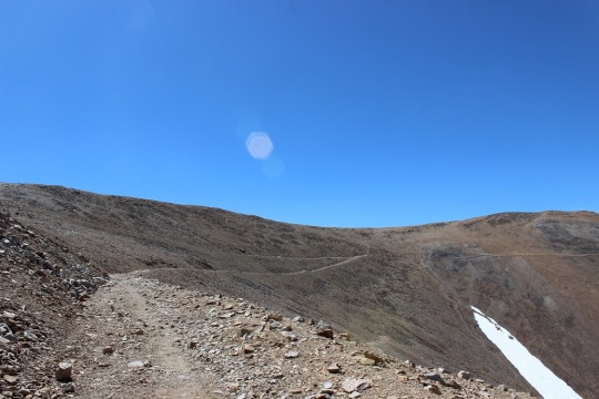
I was only there for about 5 minutes, but I overheard quite a bit of conversation centered around this mountain, but I’ll refer to Rule #1 at this point.  Apparently the hike up Bross was all scree.  Like, all of it, and that’s how they’d all hiked up.  They must have taken an open trail?  I asked what the best way was to get down from someone who’d obviously hiked this several times.  He recommended hiking back the way I’d came.  I really didn’t want to do that since I was already ¾ of the way into the hike and only had ¼ of the way to go according to my map.  He said if I went down to where the post was and turned left I’d make it on a trail that would bring me back down.  That’s what my map said, so that’s what I did.  Two other girls went as well.  Apparently this is the trail that skirts Bross and goes around it.  Great!  Since the Bross trail was closed this must be the one I was supposed to use.  Big sigh of relief!  

image

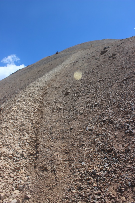
So many trails to choose from!  And that looked like a LOT of scree.  I mean, a lot of scree!  And it was!

image

Screevalanches all over the place!  

I was slipping and sliding the entire way down.  It felt as if I was skiing on rocks sideways.  

After the scree was this.  Lots of steep hiking!  OMG, this all seemed pretty dangerous (but doable). 

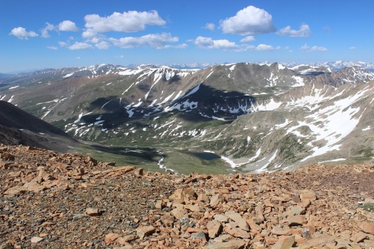
image

I finally made it down and looked at what I’d accomplished.  I hadn’t hiked up that scree, but hiking down was pretty intense!  I was glad I’d hiked the way I had!

image

Then it happened.  I was exiting the trail when I saw a different sign than I’d seen when I’d started this hike indicating the Bross trail was closed 1.5 miles up.  What the heck?!?!?  While I totally appreciate and approve of this trail being closed (it was difficult) it would have been nice if there had been a sign at the top of the trail!  I’d seen no signs.  None at all.  Lots of trails, no signs.  Ugh. If it’s a LOOP trail people you need to place signs at the top as well, not just the bottom!  I’d seen so many different trails I assumed there’s been more than one to the top and I’d taken one that was ok to take.  Hmmmm.

image

Well, I crossed a small stream

image

and was back where I’d started.  Woohoo!

image

I made a beeline for the bathrooms, but they were closed?  I mean, like locked and with signs and everything.  Not cool guys!  This ENTIRE trail is above treeline, so there’s no place to pee without everyone seeing (and I mean everyone, as it’s a well traveled trail).  If you have bathrooms at the trailhead they should at least be open.  I could tell others had been disappointed as well (some people had just “gone” behind the building.  Yuck!!!).

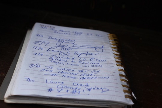
I walked the last .6 miles back to my truck and found the trailhead was FULL!  This picture doesn’t do it justice, as the 4WD vehicles go on for about ¼ of a mile, then there’s a mile of no cars, and then another ¼ mile of the cars that had too low of clearance to get by.  Lots of people out hiking today!  See mom, there’s help if I need it 🙂

image

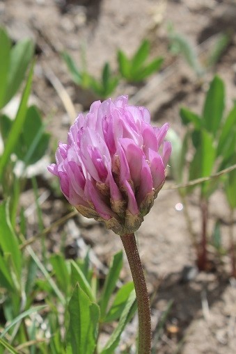
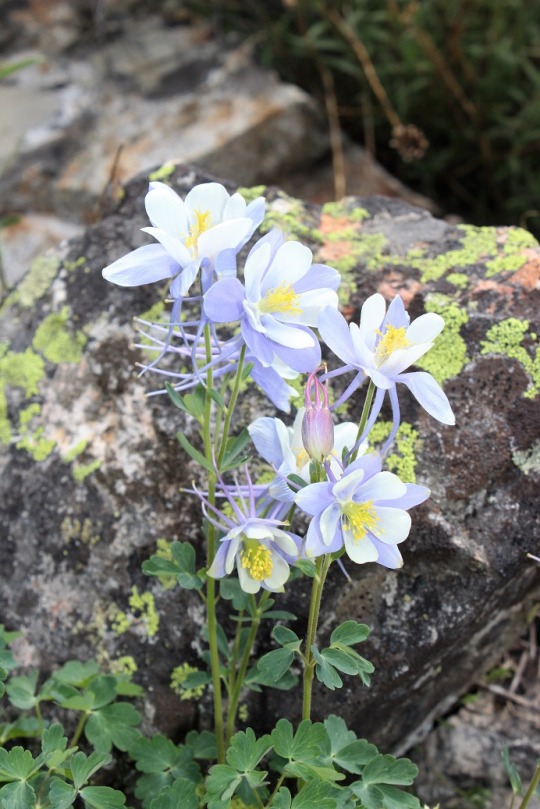
On the way back I took a picture of some of the flowers I’d seen on the way in but couldn’t get a picture of because it had been too dark.  Clovers, Indian Paintbrush, and Columbines were all over the place. 

image
image

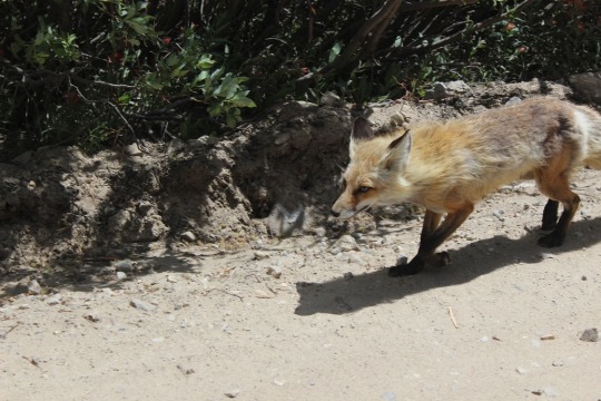
As I was leaving I saw a fox walking towards me on the trail.  It was pretty cool because he didn’t dart into the bushes, he just kept walking towards me. 

image

He walked right by my truck!

image

I couldn’t help but think of how I’d actually like to be going the way he was (back towards the mountains).

image

Oh, and here are the summit videos…

Seven Bridges and Kineo Mountain 9,478

Thomas
went to camp this morning, and after Emily and I volunteered at the Humane Society
this afternoon the girls went to Denver for an event, so I decided to take an
evening hike. 
I usually hike in the
morning, but the opportunity arose and I couldn’t waste it.

I
had a difficult time deciding which hike to take, but in the end chose Seven
Bridges, with a possible summit of Kineo Mountain. 
The only reason I wanted to hike Mt. Kineo was I saw it listed on the
map.
  There wasn’t an established trail
that could take me there.
  I did some
research, and there wasn’t much information on Mt. Kineo.
  There were only 2 posts available online, no
trail maps, and those who’d hiked it had done it with snowshoes.
  I decided to take the hike because I wanted a
bit of a challenge, but not too much (as I was still sore from this weekend’s
hiking).
  I was looking for something
with an incline that round trip was about 7 miles.

I
figured with an evening hike I’d miss all the crowds out for Father’s Day. 
I was sadly disappointed.  I drove to Cheyenne Canyon and my spirits
dropped as I passed every single turnoff and parking area overloaded with
vehicles.
  Some were so full it was
difficult to get one car through, let alone two.
  I drove to the last parking area, was
extremely lucky/surprised to find the only spot available was right near the
trailhead, parked, and watched the several vehicles behind me go back down the
road, unable to find a parking spot. 

Whew!  Ok, now to make sure I was in the right
spot.
  I’ve never actually hiked this
area before, and there were no obvious signs except this one… Good thing it’s
the 18
th!

Even
though I wasn’t 100% positive I was in the right area I figured I’d hike anyway
because I’d driven this far and honestly any hike was better than none.  
The trail was packed with families, dogs,
strollers, and motorcycles (even though they were not allowed on this
particular trail, the signs indicated so, and the other hikers were not amused).
  Luckily they were all making their way back
to the trailhead.
  I was the only one
hiking in.
  

Just
by chance I took a turnoff to the right, and boom, I was on the seven bridges
trail. 
Awesome!  That’s what I’d come for!

Just
because, here are the 7 bridges, in order of appearance.

Between
bridge 3 and 4 I lost my camera lens cover. 
I was moving over to the side so another hiker could pass on his way
down, and the string got caught in some branches.
  I didn’t realize what was happening until I
got to bridge 5.
  I figured I’d just pick
it up on my way back (unfortunately it wasn’t there). 

The
hike was a steady uphill climb that crossed the North Cheyenne Creek 7 times.

It
was a rather quick and beautiful hike, and the weather was perfect. I’d made it
to the last bridge and looked at my directions for Kineo Mountain. 
I’d told myself I’d only hike it if the
weather looked good, I had enough daylight, and I wasn’t too tired.
  I wasn’t’ tired at all (it had only been
about a 2 mile hike thus far) it was a clear day and I still had plenty of
sunlight left, so I continued on.
  The trail sharply rose to the right, and this is where it got fun!

I
hiked a scree filled hillside that looked like it’d been trafficked by deer as
well. 
This was really slippery but fun
to cross. 

I
found the route more by luck and intuition than directions, but was always
pleasantly surprised when I’d ended up in the right place. 

My
directions at this point stated the trail got difficult to find, but to head east. 
Indeed, it was impossible to find.  The trial just ended.  So I brought out my compass and headed due
east.
  This ended up being a good idea,
because about ¼ of a mile into my eastward trek I found a cairn.
  Awesome! 
Unfortunately, it wasn’t on a trail at all, and there weren’t any other
cairns to be seen. I walked about 10 yards in every direction I could, but no
trail or cairns to be seen. 

I
really wanted to keep going, knowing I had to be close (my altimeter said I was
at above 9300 feet and I needed to get to 9400), but I’d already gone at least ¼
a mile off trail, and it looked like I had another 20 yards to go that would
have me circling boulders to reach the summit. 

I
got to thinking:  
the only two reports of
hikes on this mountain were from 2005 and 2013, and both said they’d been
climbed with snowshoes.
  If I’d had
snowshoes I’d be trekking in the snow, and could easily find my way back
following footprints.
  No one knew where
I was hiking (this was a last minute decision) and it was starting to get dark.
I had at least 4 more miles to hike out and back to the trailhead.
  

It
hurt, because I know I could have made it, but I decided to turn back. 
I’d gotten a pretty good workout hiking this
far uphill, which was what I’d come for.
 
This ended up being a really good idea, as it was almost dark when I
reached the trailhead.
 

On
a positive note, I saw some yellow columbines I’d missed seeing earlier (they
were at about the point I’d lost my camera lens cover). 
I’ve never seen yellow columbines while
hiking, so I considered this a bright addition to my day.
 

Oh, and I only saw 3 other groups while
hiking this part of the trail.
  A runner in
his 20s, a dad and his two teenagers (who’s turned around when they came across
the scree) and a man and a woman who looked like hikers but didn’t have a map
and wanted to know how far the trail went (it doesn’t end, but goes on and on
and on…).

So
all in all a good hike, and a lesson in humility. 
I hate turning back before summiting, but it
was the right thing to do.

Calhan Paint Mines

I’m not gonna lie, I was exhausted today!  Yesterday’s hike was intense and wore me out.  I was supposed to hike Pikes Peak today, but when everyone else canceled I was ok with this and rested instead.  However, when I got up I felt like I’d been cheated out of a perfectly beautiful hiking day, so I tried to think of a way to fix this. 

I’d already put in a full day by 3pm, but my girls were still sleeping (don’t judge, it’s summer).  They  aren’t big fans of intense hikes, but they do like the outdoors, so I gave the option of Red Rocks, Cheyenne Mountain, or the Calhan Paint Mines.  Rebecca chose the paint mines, so I told them to all put on some hiking gear while I made dinner, and afterwards we were off for an evening hike. BTW, THANK YOU GRANDMA for the hiking shorts!  We all dressed in them, despite not planning beforehand 🙂

It was a 40 minute drive from the house, but close enough to be totally worth it!  It’s kind of like a mini Painted Desert. 

There are several areas to hike in

As soon as we got there and hiked the 1.5 miles in, I took a shadow selfie.  Just because.  

The only downside was it was really, really, really windy.  I mean, really windy. 

 But the girls had a great time exploring the formations. 

Emily found a birds nest up high and climbed to get a better look. 

I loved seeing them jump from rock to rock, confident in exploring and having fun!

Oh, don’t mind Emily’s hair.  Like I said, it was REALLY windy, and Rebecca offered her a hair tie, and this was the result.  She’s getting it cut again this week…