
I seriously needed this hike today. I mean NEEDED it. I’ve had so many negative things going on in the past 2 weeks I needed a break from life for a bit. Time to clear my head. It’s a 7.5 mile hike that covers 4 different 14ers, so I was hoping it would give me time to think and process all that’s gone on. I also chose it because I heard there’s a problem with one of the peaks and I didn’t want to get any of my girls into trouble by hiking it, so today seemed like the perfect time.
I woke up at 2:30am and made it to the trailhead by 5:30am. There were already 5 cars at the sign that said “road closed”. I had to do a 30 point turn to get my truck turned around and not fall off the side of the cliff or into the ridge on the other side (notice would have been nice road guys) but I made it.
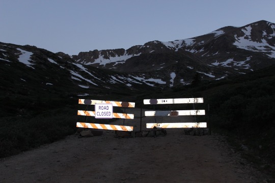
So the road to the trailhead’s closed. Great. Oh well. That only added about 1.2 miles to the total hike, so that would bring this hike to 8.7 miles. Still doable in the time frame I had. So I got out and started walking up the road.
When I got to the trailhead at Kite Lake there were several groups of people standing around, talking.
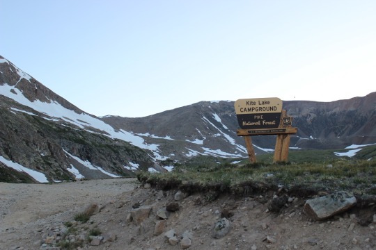
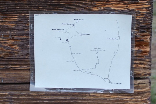
UGH! I do not like hiking with tons of people! I hate playing leap-frog, so I looked at the map posted to the board (instead of my instructions/map), took a picture just to be safe, and just headed out at the trailhead.
As I reached the top of a hill I got out my instructions and compared them to where I was. I’d crossed some fields of snow and I wanted to make sure I was on the right track. Yep, there was the old mine. I was good to go.

I went up a snow field, and then was surprised to see a lake? This wasn’t on my map or instructions. Weird.
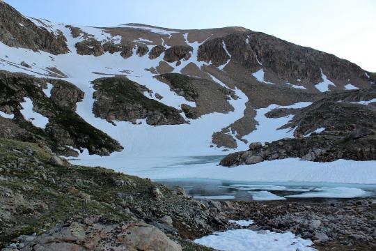
I got them out again and looked. Nope, no lake on my route. So I called back to a group of girls hiking behind me, asked them which trail they were hiking. The same one I was. Cool! Do you have a map? Apparently not, they’d just been following me. Ugh!
So I took a closer look at my map, and it seemed in my haste I’d started off on the wrong trail. The orange lines were where I was supposed to go, the green is where I actually went. Oh, and the green line trail isn’t in the picture I took at the trailhead, so I didn’t even second guess when I’d started.
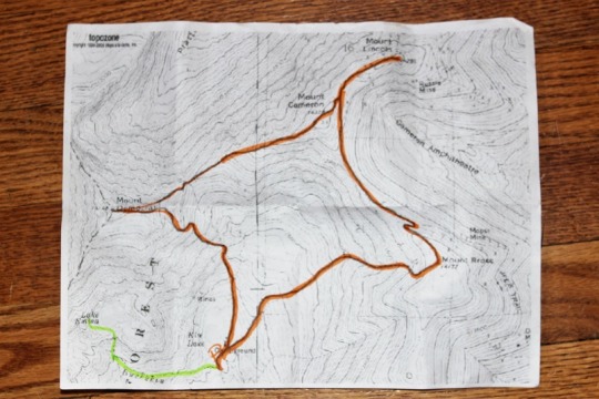
Deep breath. I had a lot I could blame it on, but in reality this was a rookie mistake I made because I was in a hurry and don’t like people. Lesson learned. Never again. This added another 3 miles onto my hike (1.5 in, 1.5 back to the original trail, so now I was looking at 11.7 miles). So I quickly turned around and headed back. When I reached the correct trailhead it was 6:40am. Drat! I’d lost an hour of time!
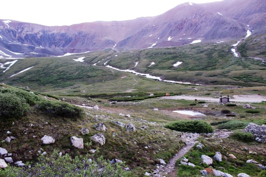
From here until close to the peak I had pretty good signage. I noticed one saying the Bross trailhead was closed. Good to know. I took the Democrat/Lincoln one instead.

The hike up Mt. Democrat was, as I said, pretty well marked most of the way. I passed 2 groups of hikers and luckily we didn’t play leap frog!
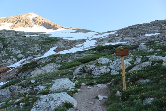
At the mile mark I came across the CORRECT mine and continued on.
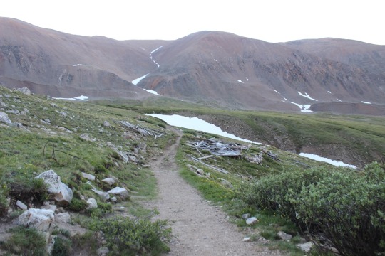
The trail for most of the way was rocks. Lots and lots of rocks. Unfortunately that often makes it difficult to find the correct trail.
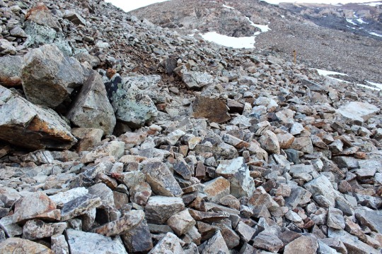
Pikas like the rocks. They were all small today. I took a pikature.

The sun finally came up, I took off my jacket and put on sunscreen. This shadowselfie is actually important.
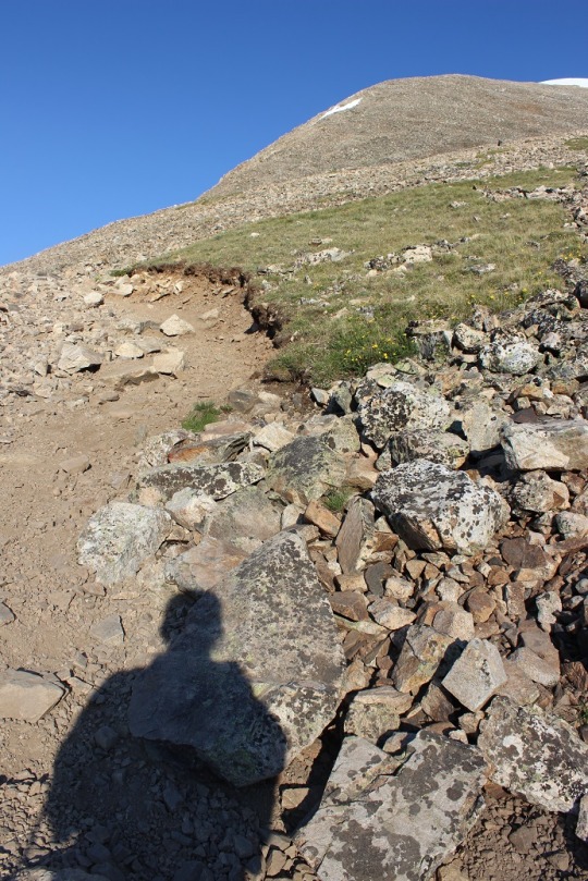
You see, I’m actually looking at all the hikers on the ridge and snow and trying to get a gauge of where the trail goes. You can note at this time none of those hikers were on the trail (something I didn’t realize until I hiked it myself).
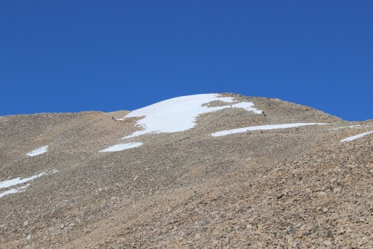
The trail actually goes to the far right, and none of these hikers is even close to it. I found this out on my way back down, but I made it up so it’s all good! These types of hikes often require route finding. As long as you have the peak in sight you’re usually good. When I got close to the summit I found the correct trail and just had a little further to go.
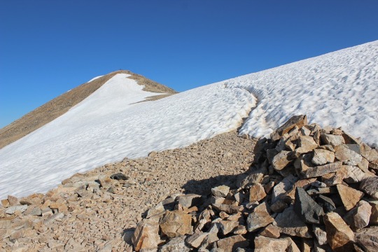
Woohoo! I made it! The summit had no less than 20 people sitting and enjoying a snack.
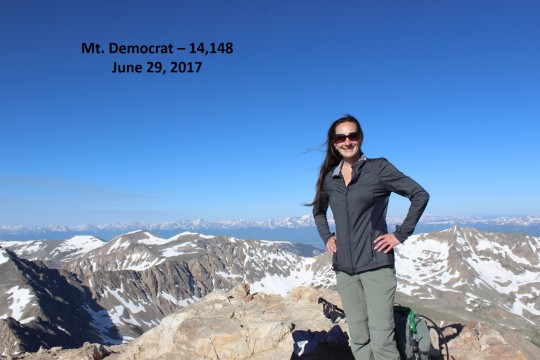
I had one of them take my picture, offer me some twizzlers (I declined because I don’t like to hike and eat) and took a quick video of the peak. (see all videos below)
Now it was on to Mt. Cameron! I found the trail and went down the summit the correct way. It pretty much followed the saddle and went up the ridge.
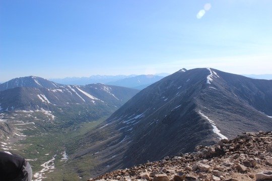
Here’s a closer view
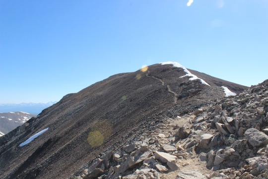
This ridge is where it got really windy. I mean really, really windy!!! I’d taken my hair out for the Democrat picture and my fingers were frozen so I couldn’t put it back properly. The wind was having a field day. When I summited Mt. Cameron there was one other person there. He took my picture and I was off.
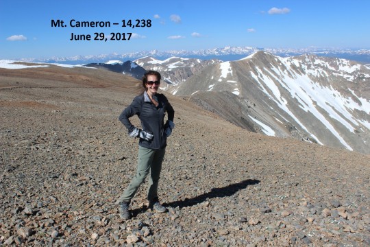
Oh, but before that, I’d like to explain why Mt. Cameron isn’t an “official” 14er, even though it’s clearly over 14,000 feet.
It’s not official because it does not have enough prominence. A mountain has to gain at least 300 feet off the ridge to be considered an official 14er. So it’s not part of the 14er challenge but I count it as one I’ve summited anyway. I’ll do the same for you.
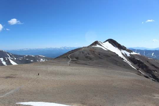
Once I made it across the ridge I could see the path to the summit of Mt. Lincoln. It kind of reminded me of the moon.
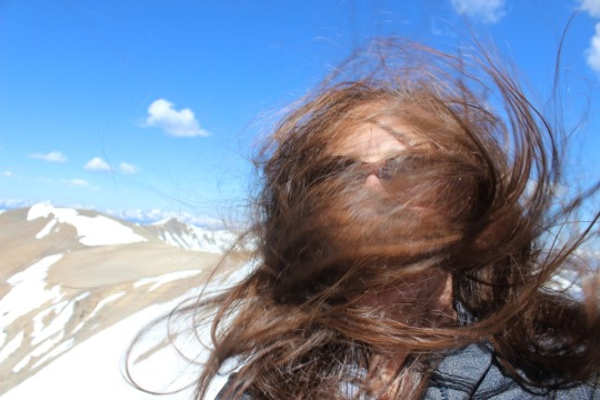
The wind only picked up from here. I took out my hair and tried to brush it (which happened to be a mistake). See?
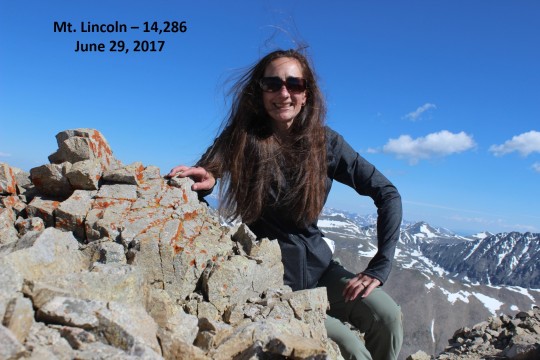
I was the only one on this summit, so I had to take the summit picture myself by setting the camera to automatic (since the selfie thing wasn’t working). Not great, but not bad, considering the wind and all.
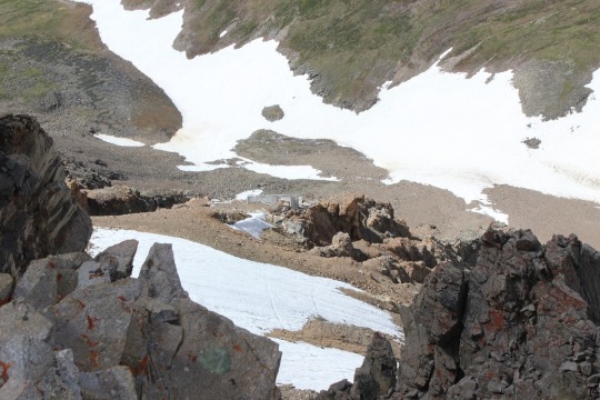
I don’t like to stay on summits long, so I headed down the trail. There were old mines all over the place!
Here’s where it gets tricky. You see, as I was heading down someone pointed out Mt Bross to me.
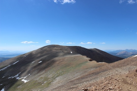
It looked like it was directly on my path down, and as I hiked further I realized it was. I never saw a sign indicating the trail was closed from this end, so I decided to take it across. I saw Kite Lake from the ridge.
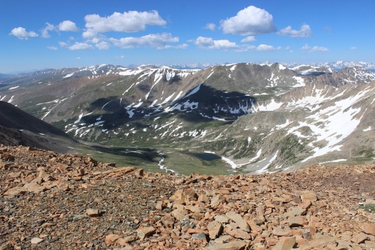
I ended up summiting much quicker than I’d anticipated. I just crested a ridge and was there. So were about 10 other people, sitting in a wind shelter (that wind!) I had one of them take my picture (I’d put my hair into a ponytail by this point, as the wind had actually snapped my barrette in two).
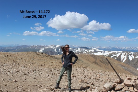
I was only there for about 5 minutes, but I overheard quite a bit of conversation centered around this mountain, but I’ll refer to Rule #1 at this point. Apparently the hike up Bross was all scree. Like, all of it, and that’s how they’d all hiked up. They must have taken an open trail? I asked what the best way was to get down from someone who’d obviously hiked this several times. He recommended hiking back the way I’d came. I really didn’t want to do that since I was already ¾ of the way into the hike and only had ¼ of the way to go according to my map. He said if I went down to where the post was and turned left I’d make it on a trail that would bring me back down. That’s what my map said, so that’s what I did. Two other girls went as well. Apparently this is the trail that skirts Bross and goes around it. Great! Since the Bross trail was closed this must be the one I was supposed to use. Big sigh of relief!
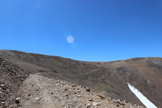
So many trails to choose from! And that looked like a LOT of scree. I mean, a lot of scree! And it was!
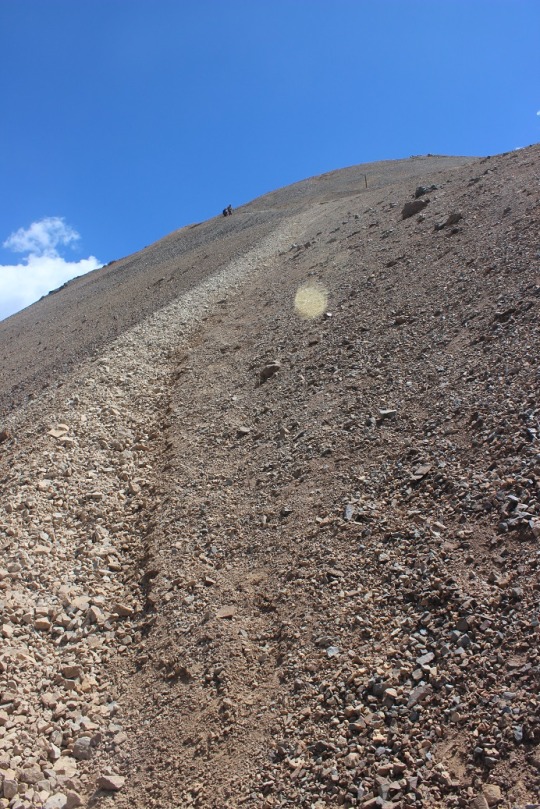
Screevalanches all over the place!
I was slipping and sliding the entire way down. It felt as if I was skiing on rocks sideways.
After the scree was this. Lots of steep hiking! OMG, this all seemed pretty dangerous (but doable).
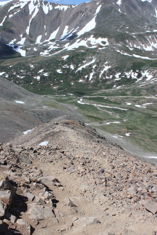
I finally made it down and looked at what I’d accomplished. I hadn’t hiked up that scree, but hiking down was pretty intense! I was glad I’d hiked the way I had!
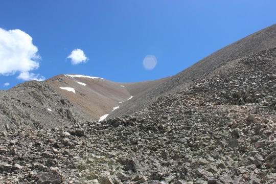
Then it happened. I was exiting the trail when I saw a different sign than I’d seen when I’d started this hike indicating the Bross trail was closed 1.5 miles up. What the heck?!?!? While I totally appreciate and approve of this trail being closed (it was difficult) it would have been nice if there had been a sign at the top of the trail! I’d seen no signs. None at all. Lots of trails, no signs. Ugh. If it’s a LOOP trail people you need to place signs at the top as well, not just the bottom! I’d seen so many different trails I assumed there’s been more than one to the top and I’d taken one that was ok to take. Hmmmm.
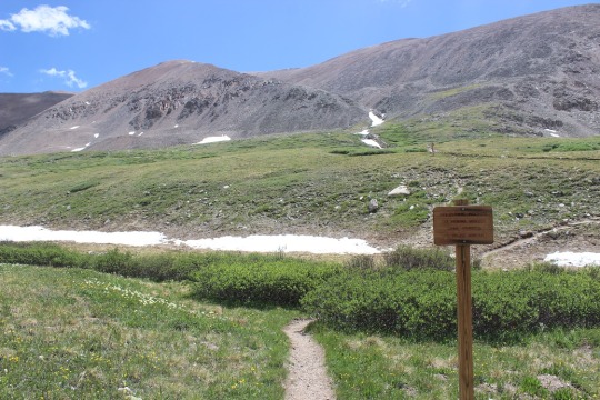
Well, I crossed a small stream
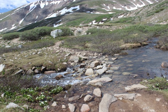
and was back where I’d started. Woohoo!
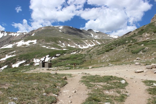
I made a beeline for the bathrooms, but they were closed? I mean, like locked and with signs and everything. Not cool guys! This ENTIRE trail is above treeline, so there’s no place to pee without everyone seeing (and I mean everyone, as it’s a well traveled trail). If you have bathrooms at the trailhead they should at least be open. I could tell others had been disappointed as well (some people had just “gone” behind the building. Yuck!!!).
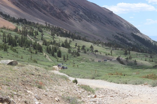
I walked the last .6 miles back to my truck and found the trailhead was FULL! This picture doesn’t do it justice, as the 4WD vehicles go on for about ¼ of a mile, then there’s a mile of no cars, and then another ¼ mile of the cars that had too low of clearance to get by. Lots of people out hiking today! See mom, there’s help if I need it 🙂
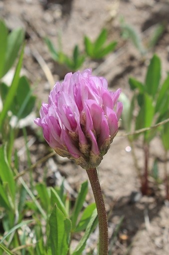
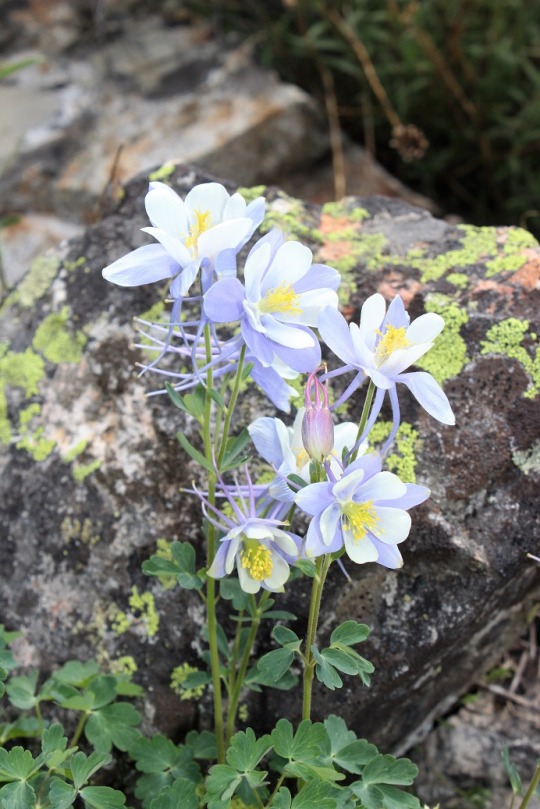
On the way back I took a picture of some of the flowers I’d seen on the way in but couldn’t get a picture of because it had been too dark. Clovers, Indian Paintbrush, and Columbines were all over the place.
As I was leaving I saw a fox walking towards me on the trail. It was pretty cool because he didn’t dart into the bushes, he just kept walking towards me.

He walked right by my truck!
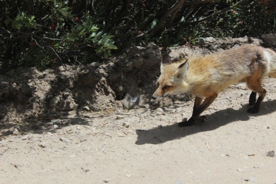
I couldn’t help but think of how I’d actually like to be going the way he was (back towards the mountains).
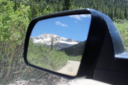
Oh, and here are the summit videos…