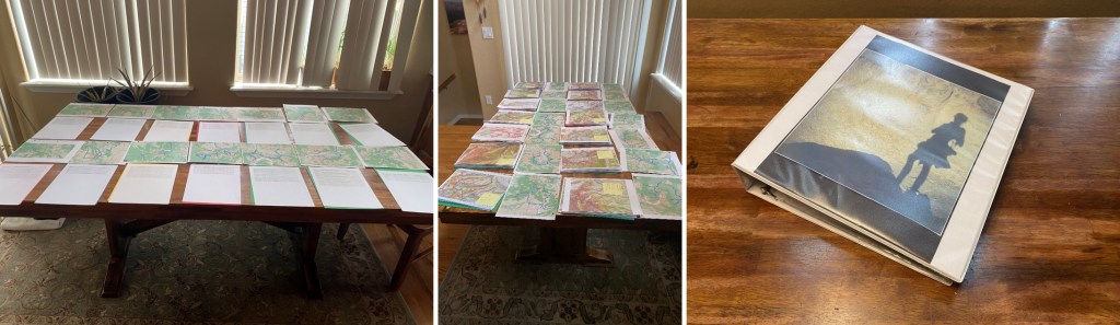
My beta was wrong. It was my fault, and I knew it on my drive in. When there are avalanche conditions in the high country, I spend my time putting together potential routes and topo maps. Then I print them out and put them in a binder I keep in my truck, so I’m always ready for a hike.
However, my spreadsheet had different information than I was seeing at the time. Specifically, a “No Trespassing” sign on what was supposed to be public lands. This could completely have been my fault, as wine might have been involved while I was putting together topo maps. Actually, it most assuredly was. This changed my plans a bit, but I could still get in a hike.
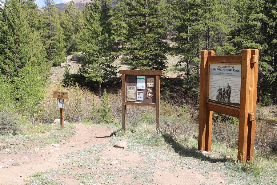
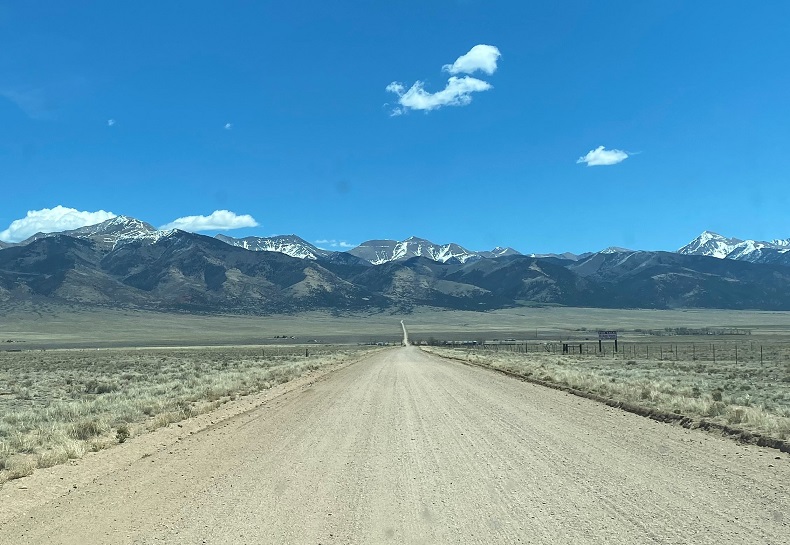
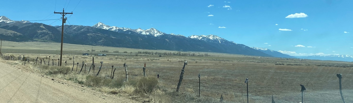
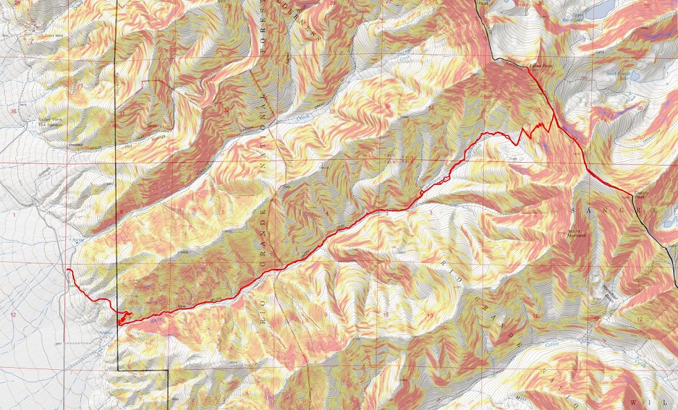
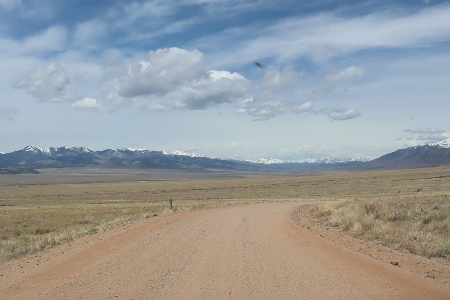
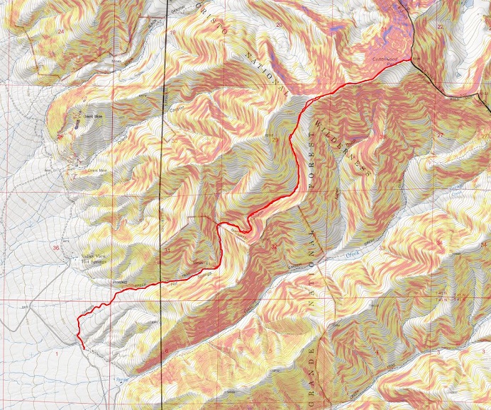
I parked at the Green Timber Gulch Trailhead after driving through thousands of tourists fishing at Cottonwood Lake, and the slowest driver I’ve ever encountered on a 4WD road. He had a 4WD vehicle, but didn’t go over 5mph on this easy 4WD road (dirt 2WD?) and refused to pull over. There were 10 vehicles behind him. Not cool.
Anyway, as I was sitting in the parking area putting together a trip report from that morning, a family pulled up beside me, then got into their Razor and took off. They came back covered in more dirt and dust than I’ve ever seen, and were laughing hysterically. I was glad they were having fun. Instead of hopping into the creek they took a wet-wipe bath, which caused more harm than good. They looked like they were covered in volcanic ash. In any event, eventually they left and I had the site to myself for the night. Note: No camping here, but I was sleeping in my vehicle, so I was just parked.
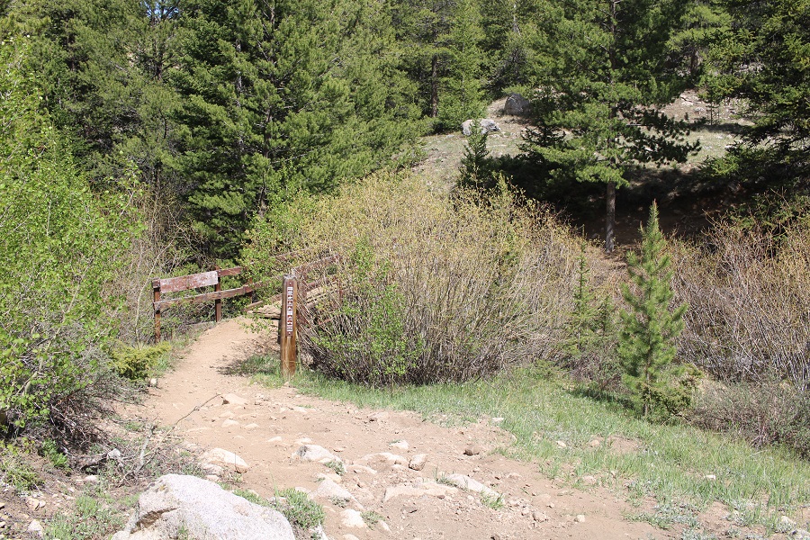
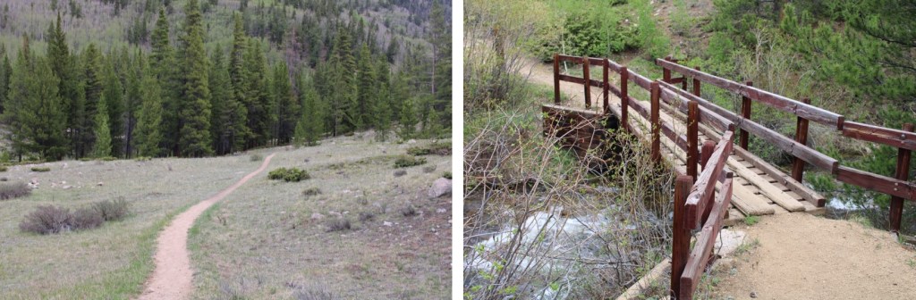
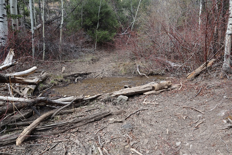
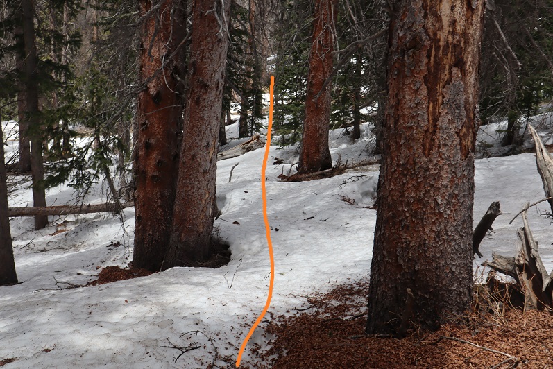
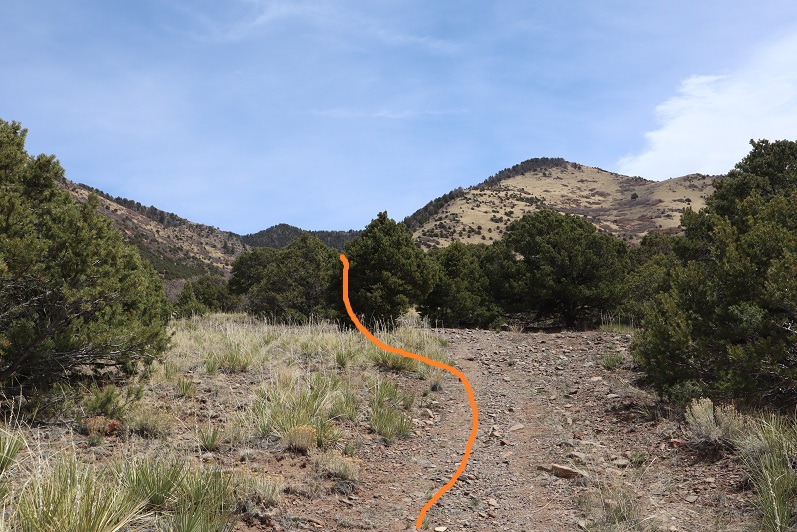
The trail is obvious, and starts with a bridge crossing.
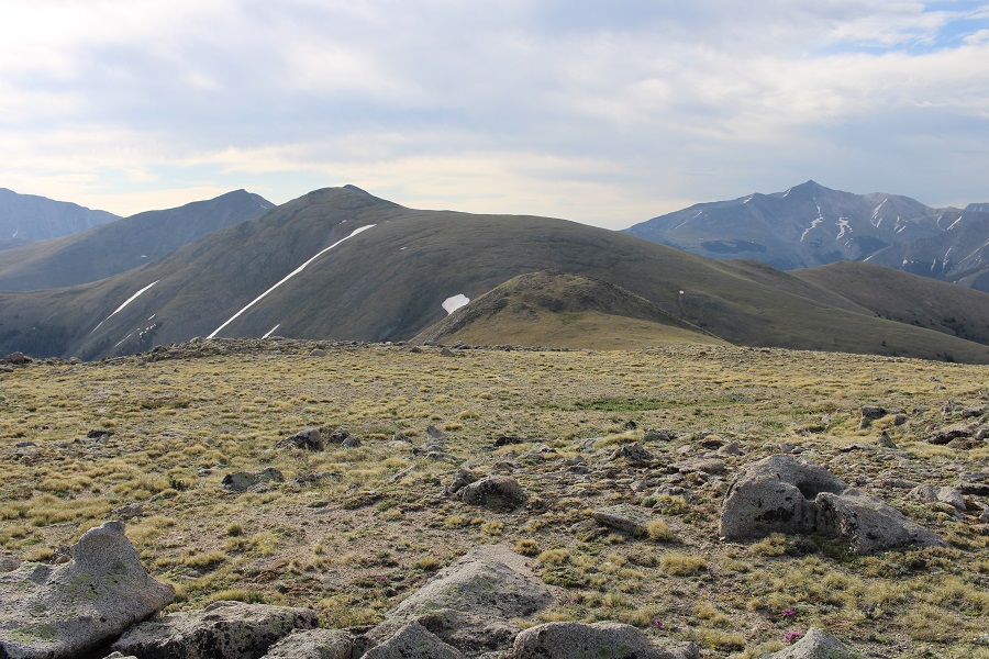
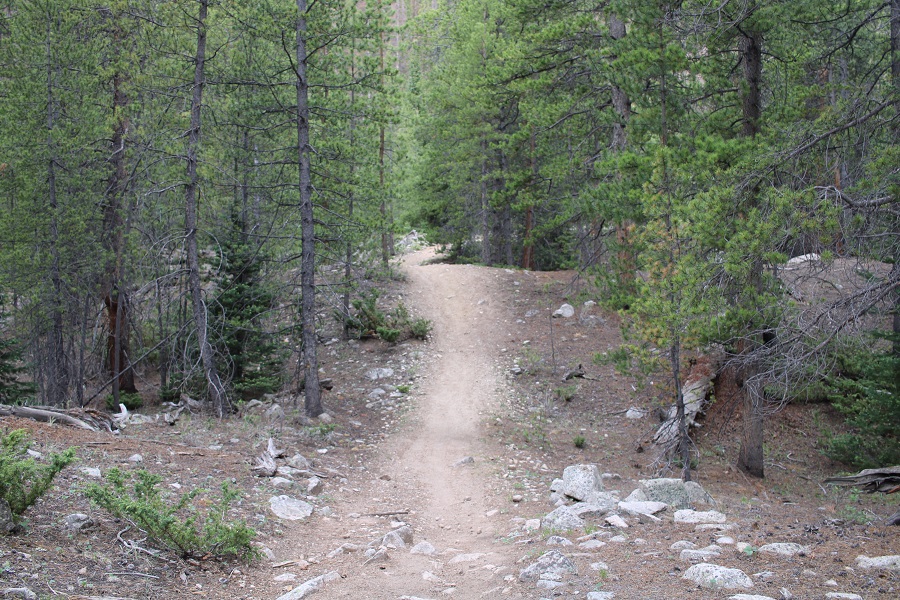
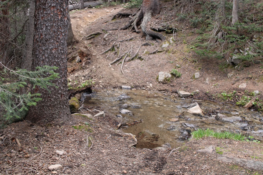
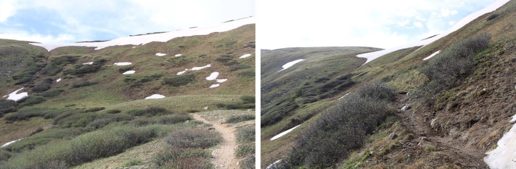
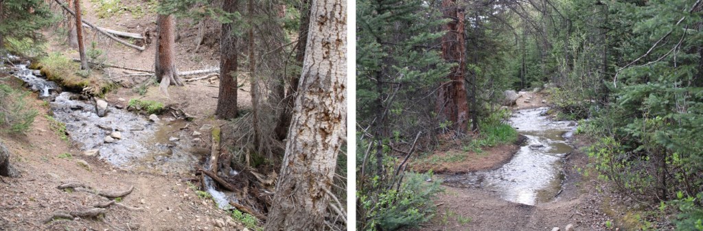
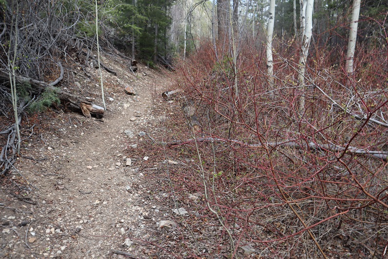
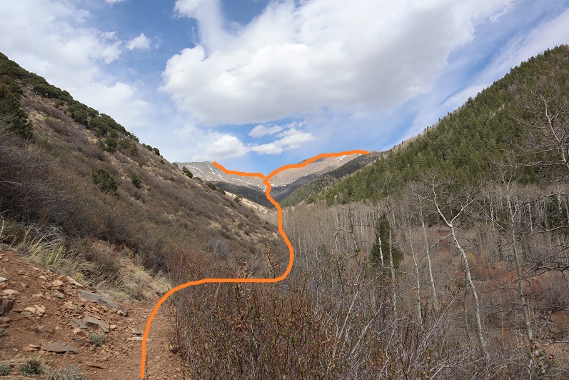
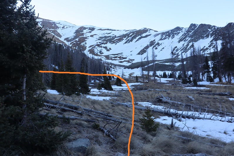
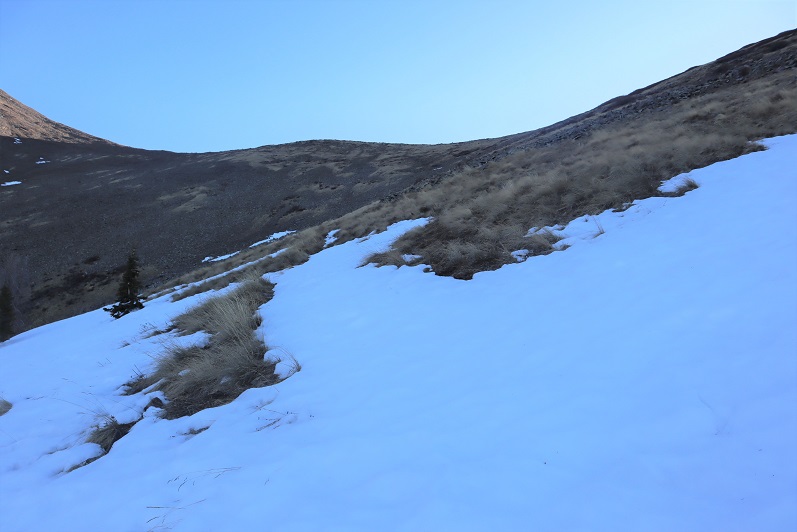
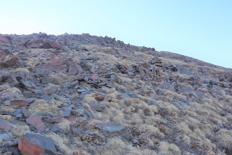
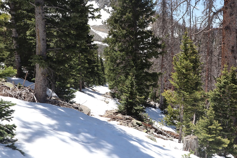
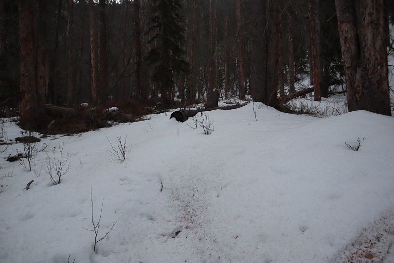
I followed the Green Timber Gulch Trail all the way to treeline and to the 12,837/13,078 saddle, for 3 miles. This is a class 1 trail, with a few minor creek crossings. It’s currently spring conditions, so there was a lot of water on the trail. There was a lot of moose scat on the trail (I mean, a lot), but no tracks, so I’m assuming the moose has moved on. This is also a motorized bike trail, so watch out for bikes.
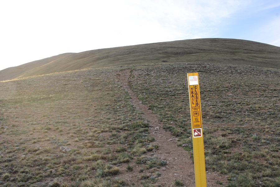
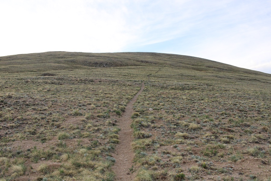
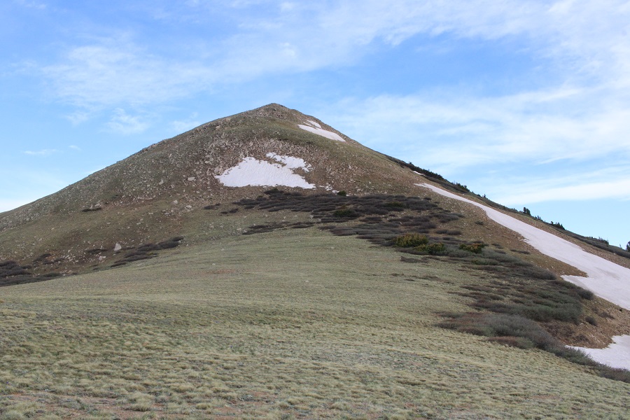
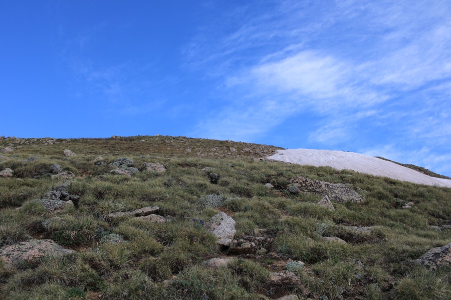
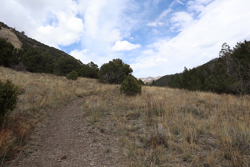
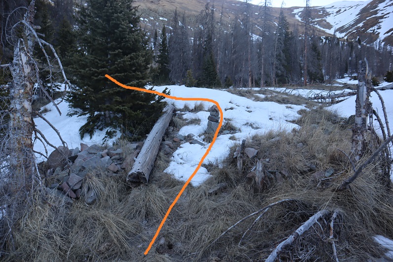
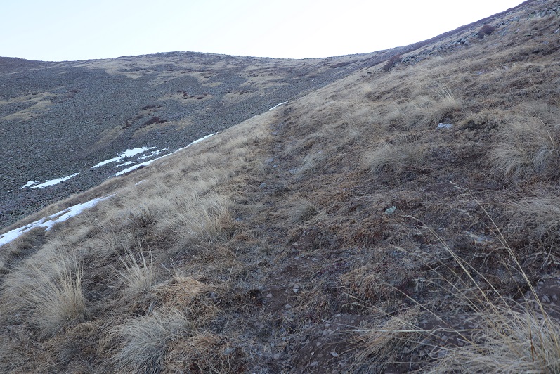
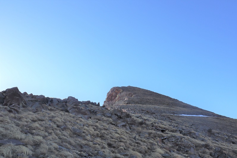
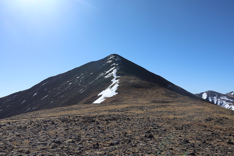
Once at treeline I turned left and headed east towards 13078. This was a straightforward tundra walk, and there was even a faint trail most of the way. Oh, and the sign says trail closed to motorcycles… hiking is ok.
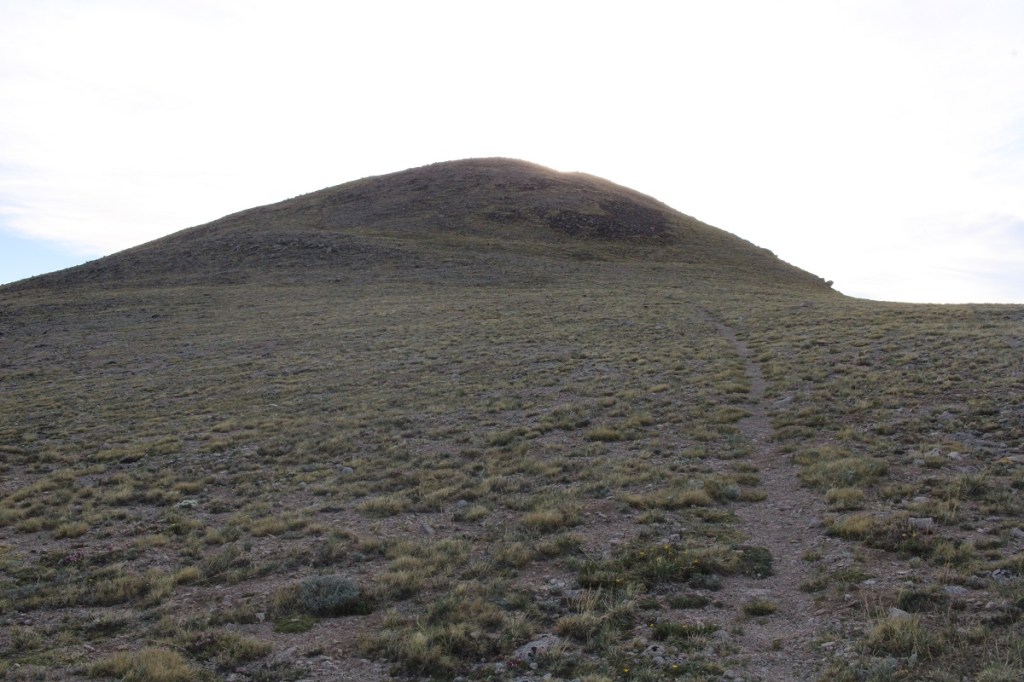
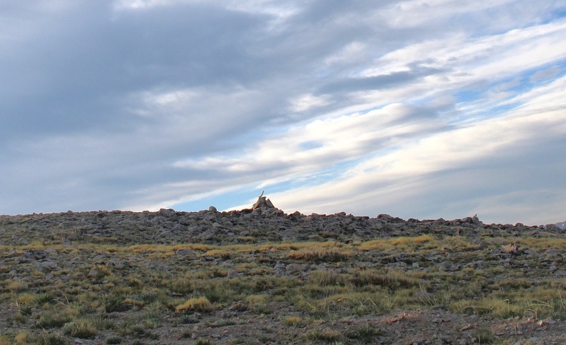
I summited 13078 at 6:45am
13078:
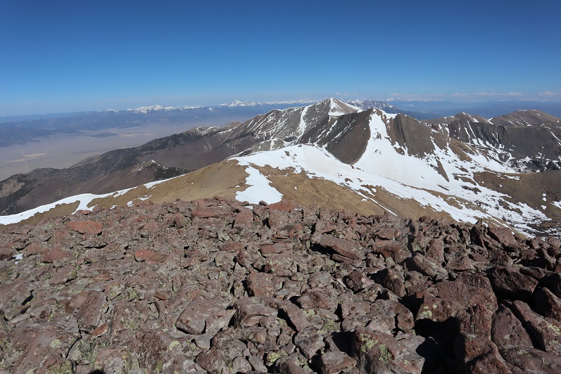
I left a register, and turned and headed back to the saddle.
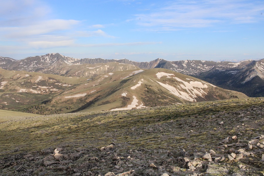
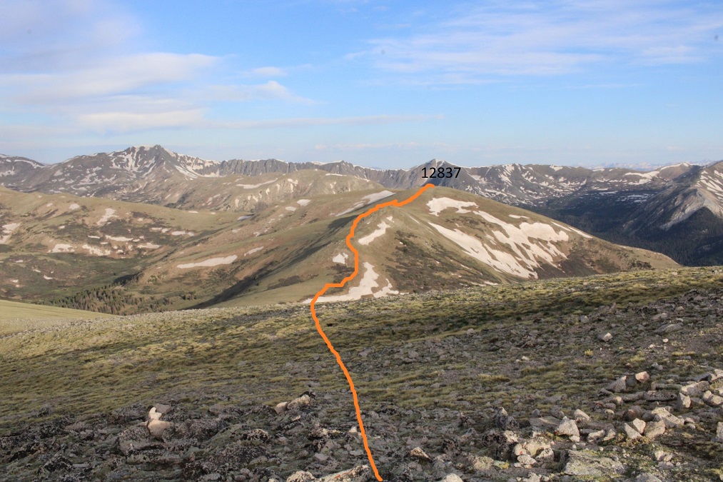
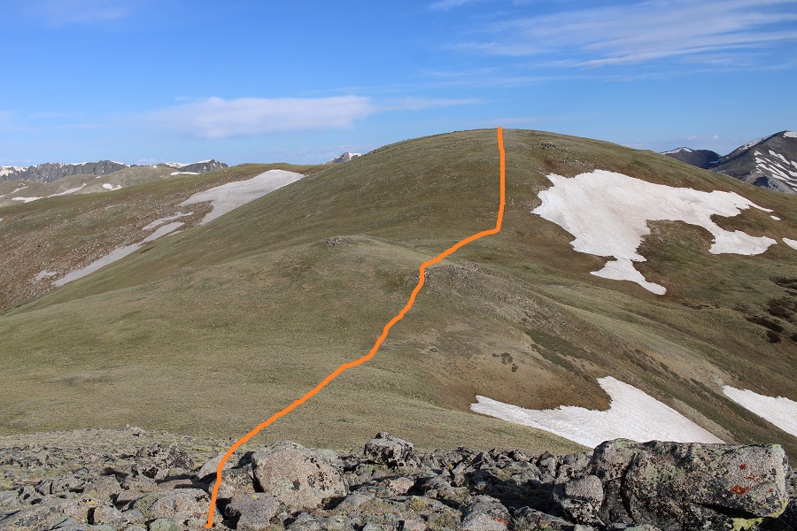
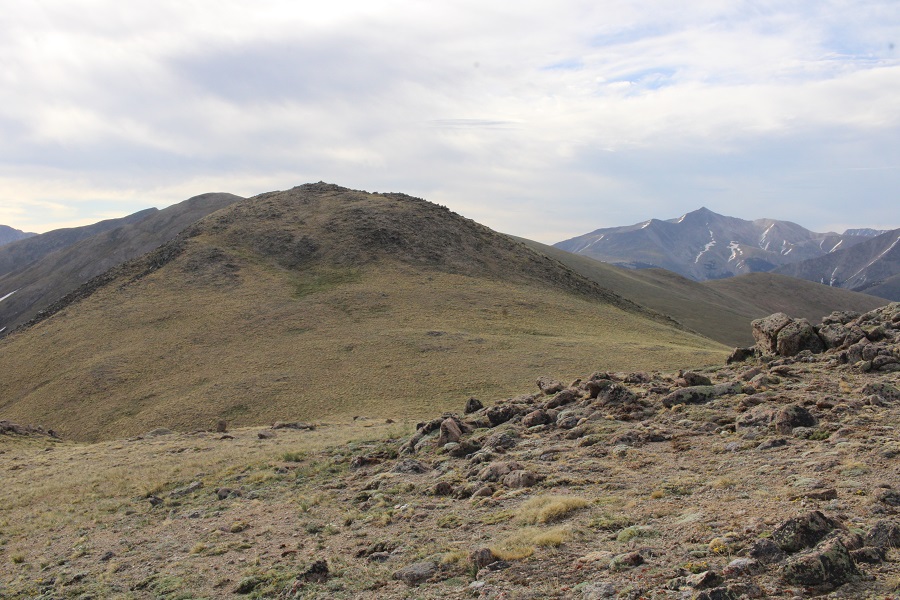
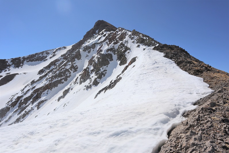
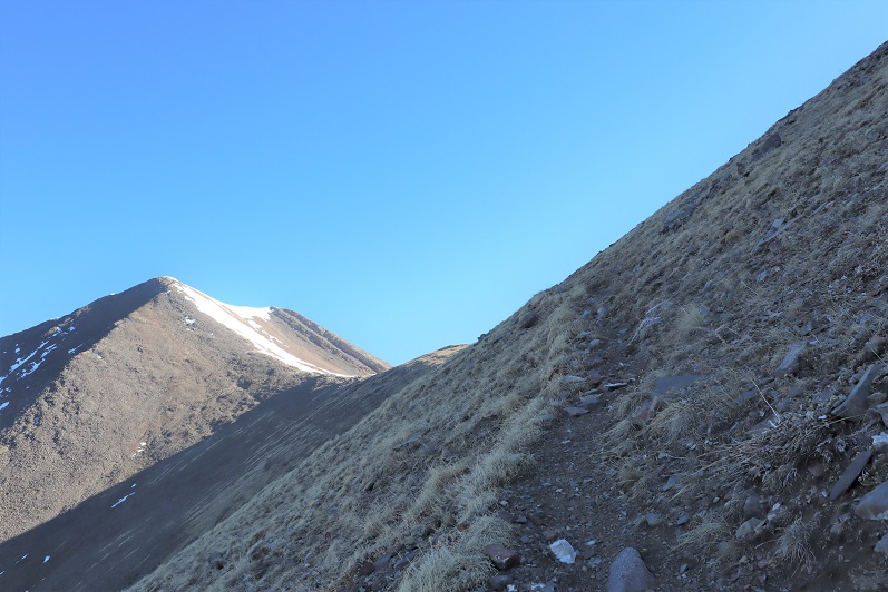
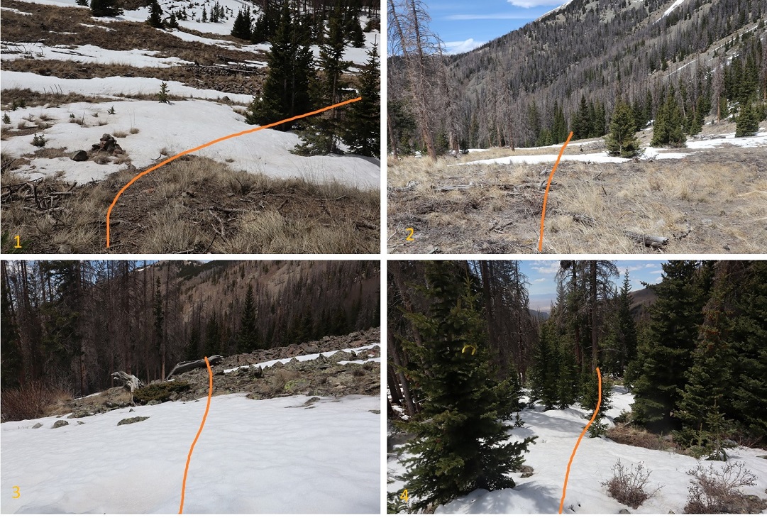
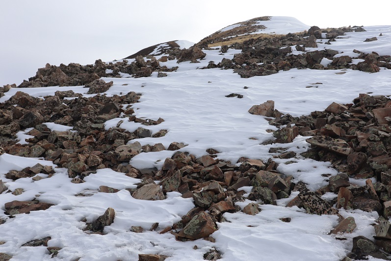
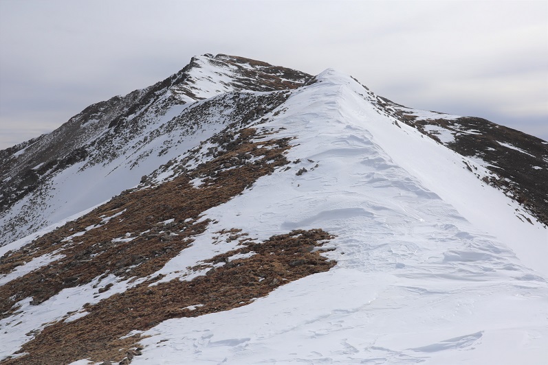
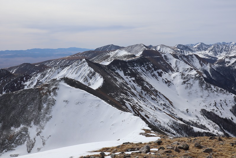
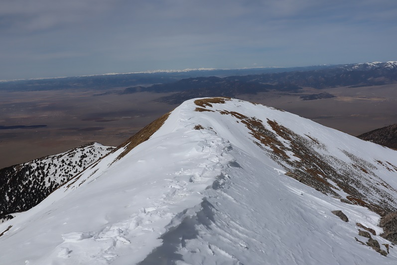
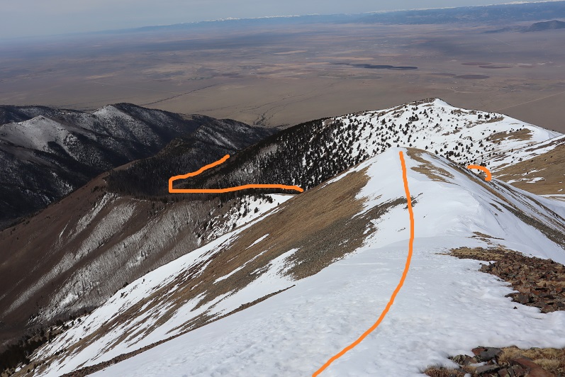
My next goal was PT 12837. From this height, you can clearly see the three false summits, which actually have more drop and gain than it looks like from here. This is the route I took
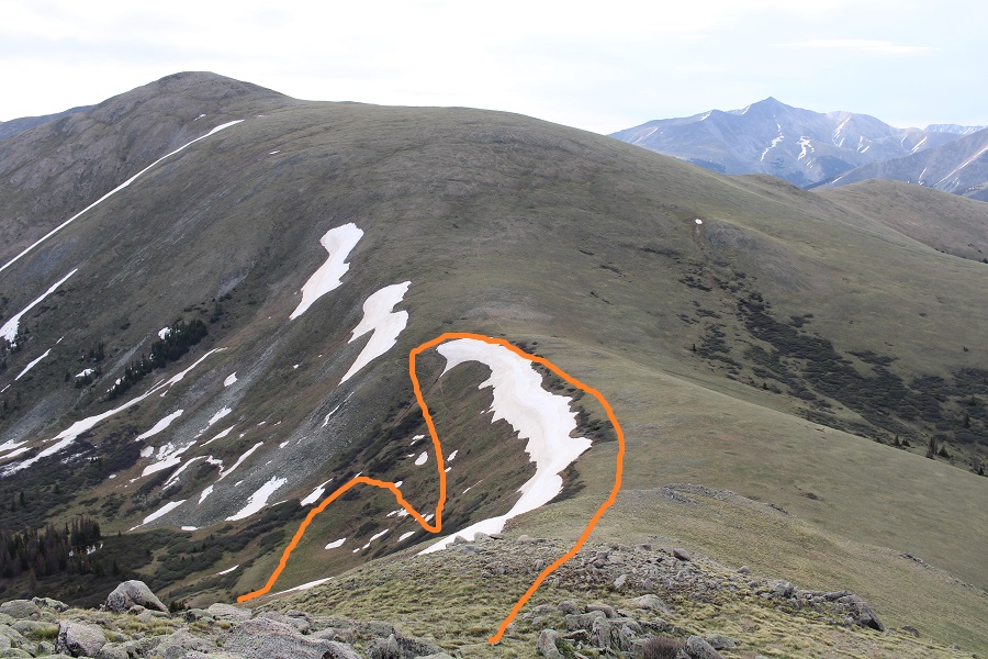
Here are some step by step pictures. First, to the saddle
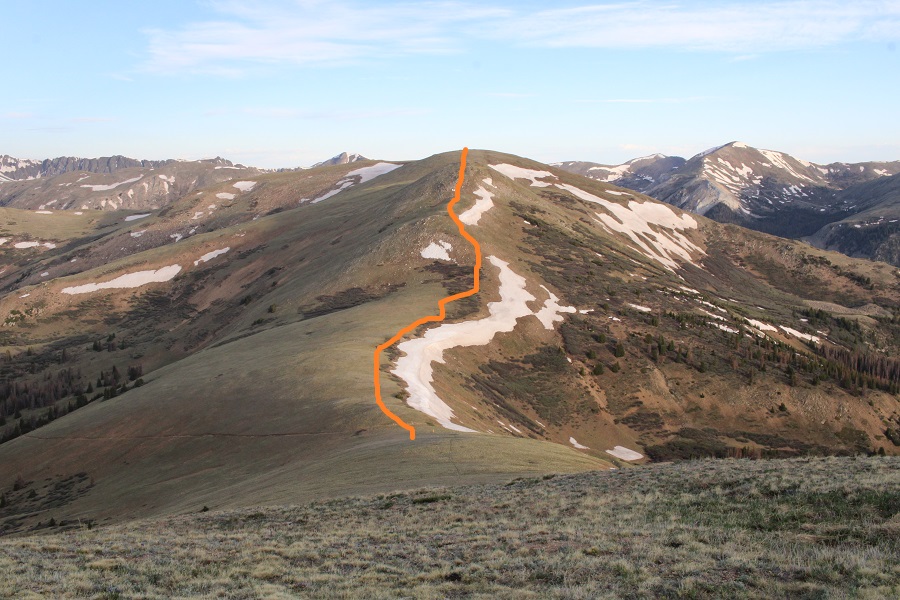
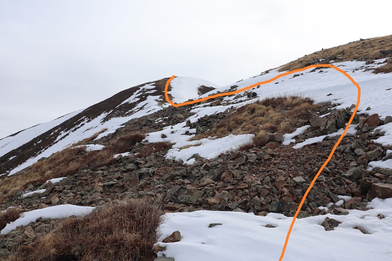
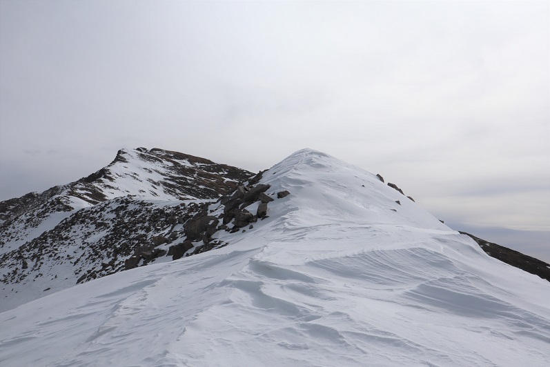
Then I looked for a break in the willows, and cut over to the ridge, avoiding the rocks to the left, and snow to the right
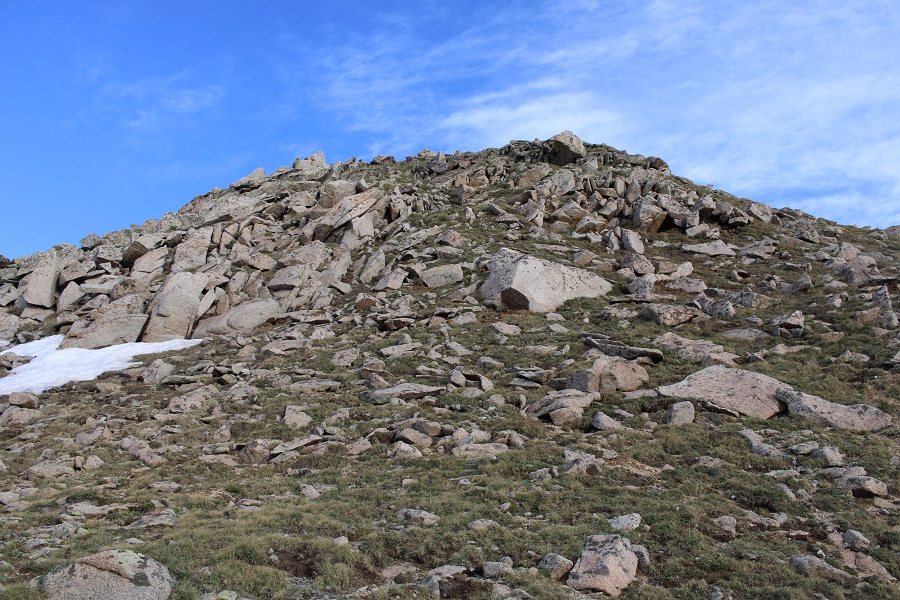
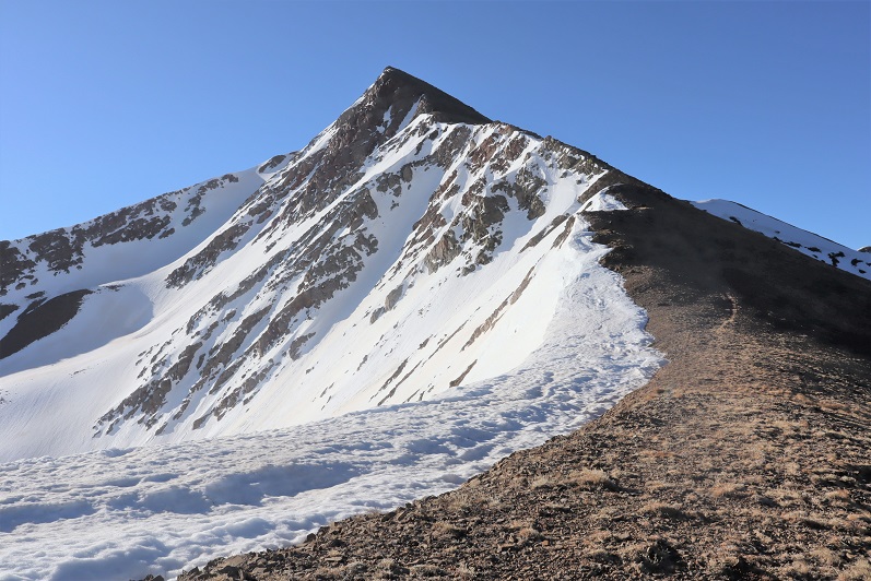
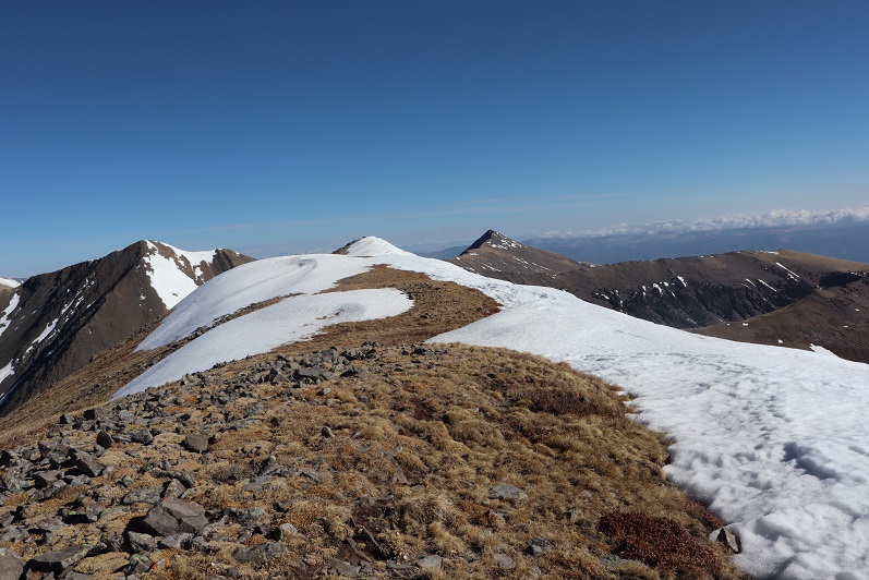
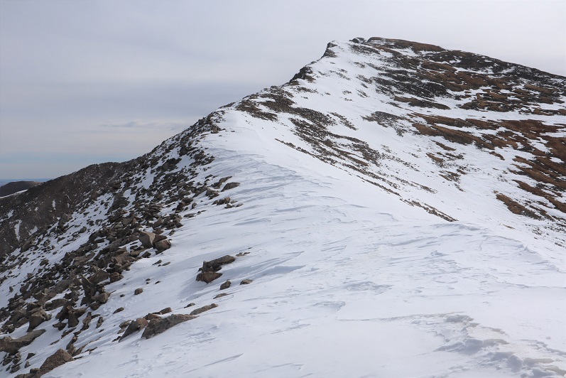
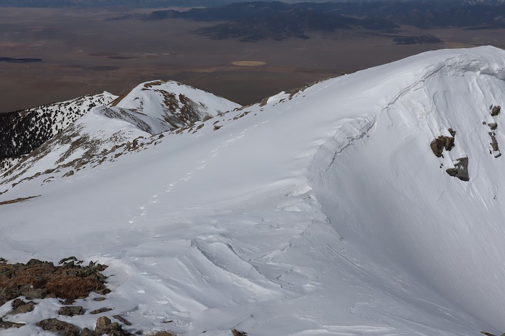
Here’s the first false summit
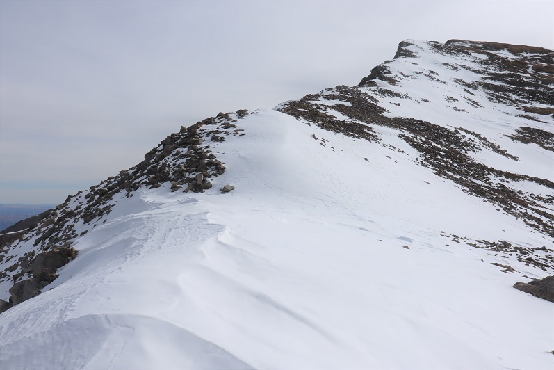
There was a large cairn at the top, but was obviously not the true summit. Here you can see the cairn, as well as the second false summit
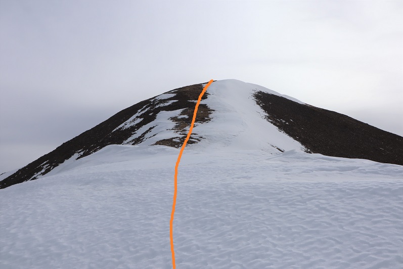
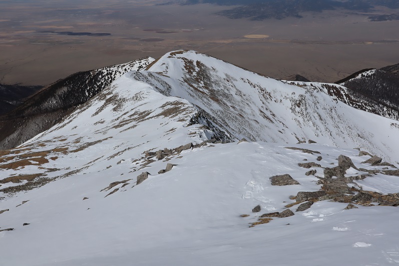
Here’s the route I took to the summit (all very straightforward)
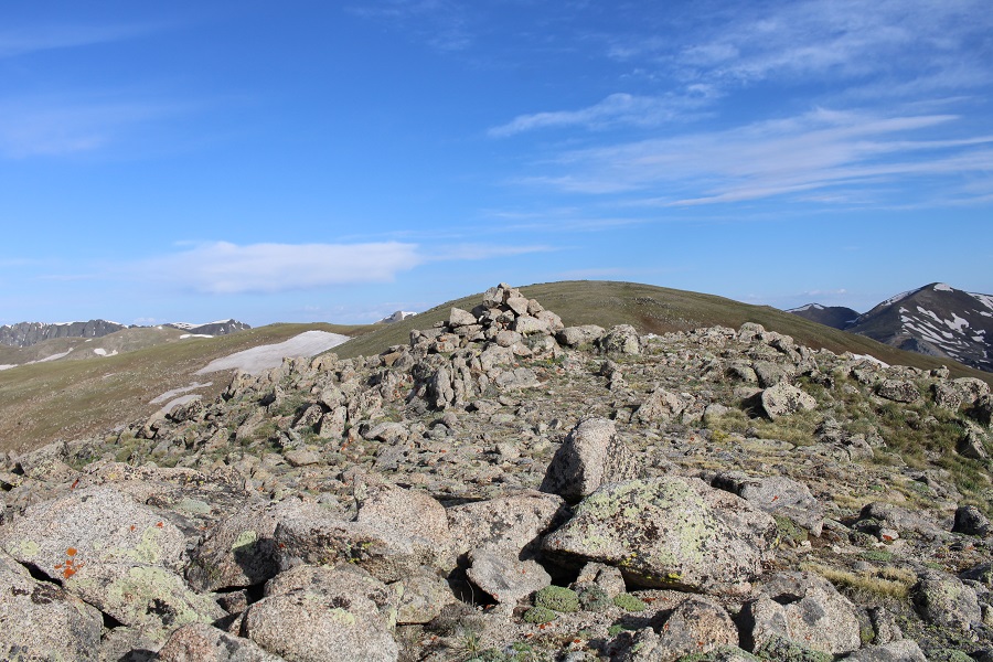
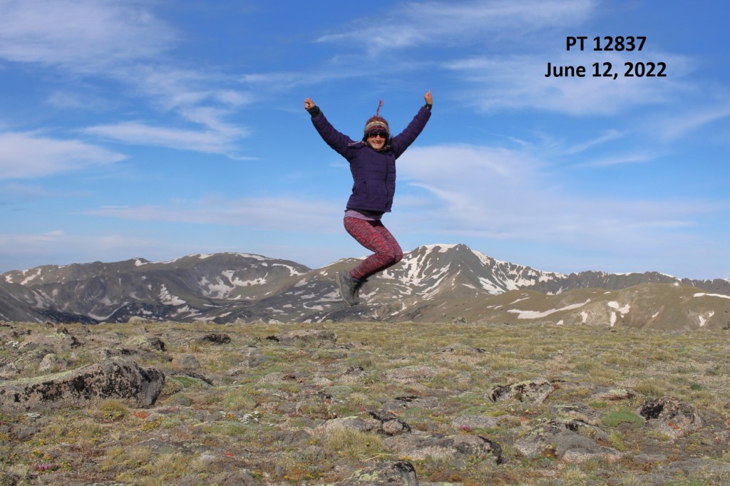
I summited 12837 at 7:50am The ground was relatively flat, so I jumped for the picture
12837:
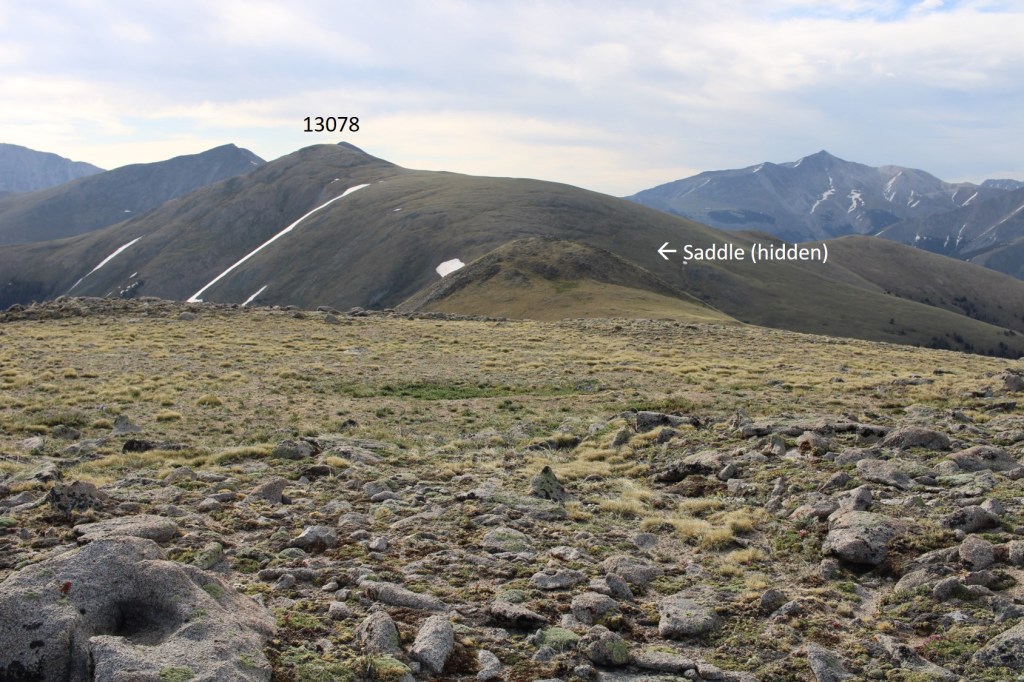
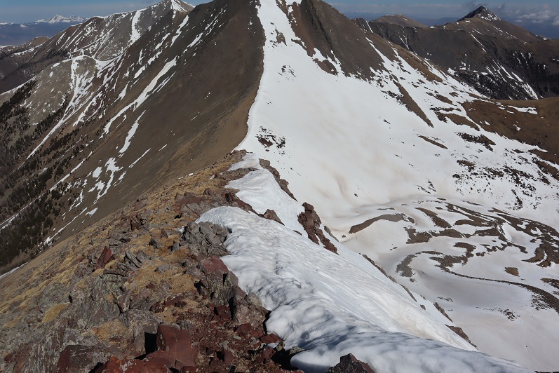
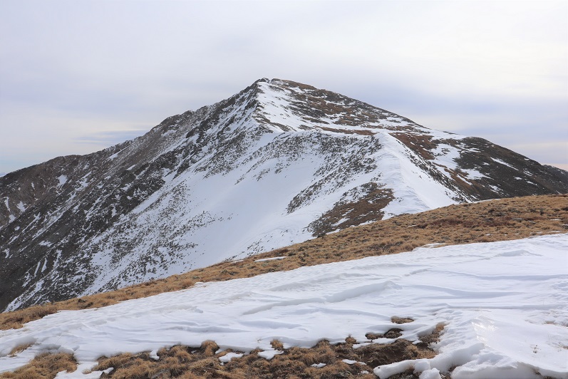
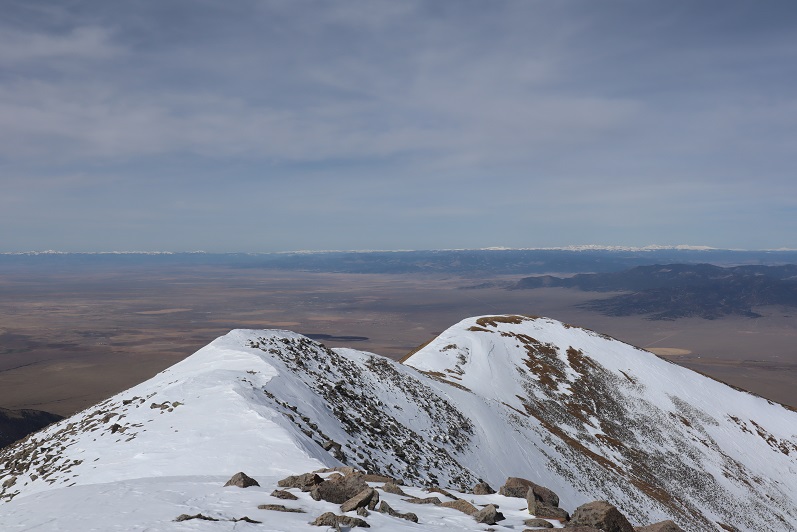
Here’s looking back at the route from 13078, as well as my route back to the saddle
I headed back to the 13078/12837 saddle
And then picked up and followed the Green Timber Gulch Trail back to the trailhead.
I made it back to my truck at 9:30am, making this a 9.62 mile hike with 3588’ of elevation gain in 5 hours.
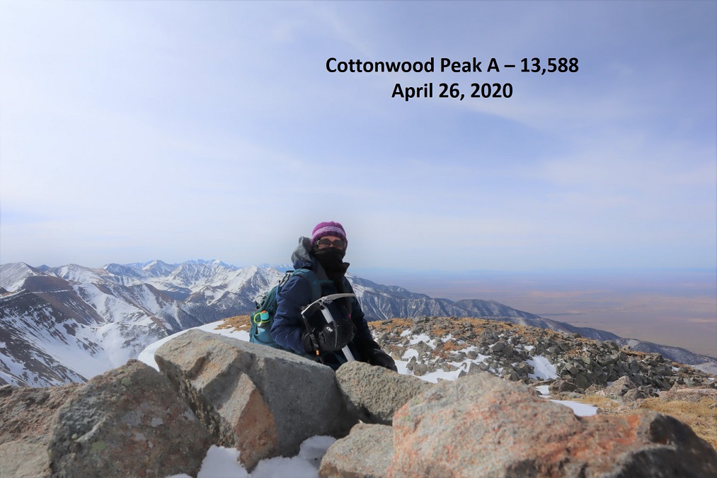
I feel like I was just here. Well, actually, last week I climbed Cottonwood Peak which is 2 miles away, so it stands to reason.
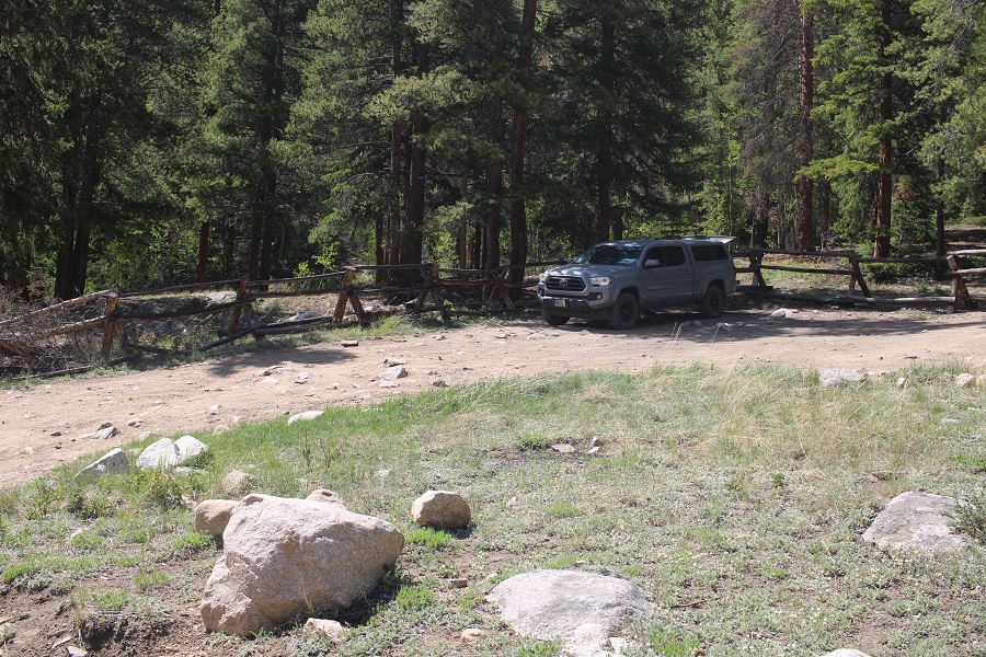
I got a picture of the shoes on the drive in this time… easy 2WD dirt road to the trailhead.
This time I got to spend the night. I arrived at the trailhead early (around 2pm) after my failed attempt at 13,636.
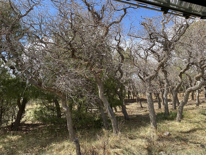
I was excited to discover I had cell service, and the first thing I did was order a new water bottle (I’d lost mine on my last hike). So, what to do with all this extra time? I really wanted to sleep, but I just…. Couldn’t. It was too hot outside. I know, right? Too hot, in the first week of May? But there you have it, I was roasting in the back of my truck, so I kept the windows open. The view was great. I’d parked near a copse of scrub oak.
I decided to write down some trip notes from the day and text a few people (since I had service). There was a nice breeze outside. I heard a loud buzzing noise, and had a hummingbird fly into my truck and back out again. So cool! Someone drove in with a rather large horse trailer and I thought I may have neighbors for the night, but they lived adjacent to the trailhead and just drove through.
Oh, I should eat. But I wasn’t hungry. I forced myself to eat some tuna and a handful of pistachios. And I had 3 shots of whiskey. There, that should make me tired. But nope, I still couldn’t fall asleep.
So I set up everything for tomorrow and walked around a bit. When I got back to my truck a car was parked in front of mine, and I saw an older woman walking around. I said hi, and that I hadn’t heard her drive up. But that wasn’t her car. She lived across the street and was just checking the trail register. A man had signed it, saying he was headed towards Major Creek and should be back by 5. Well, now I wouldn’t be able to sleep until after 5. He didn’t show up by 5:30, and I decided to was exhausted by that time, so I fell asleep.
I only woke up once during the night, around 10:30pm, to barking. The barking didn’t stop all night, and I assumed it belonged to the lady I’d seen earlier in the day (ok, her dog). My alarm went off and I snoozed it for an hour (the dog was still barking), but eventually I left my warm bed and got ready for the day. I was on the trail by 3am, armed with 2 16oz bottles of water. The dog was still barking.
To expedite things I’d signed the trail register the night before, so today I was able to start hiking right away. The trail starts to the right (southeast) and hugs the mountainside.
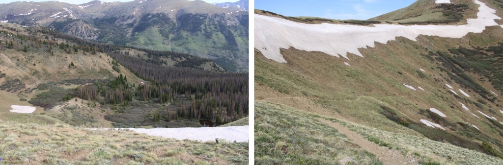
Then the trail switchbacks down to Major Creek.
I must admit, this caught me off guard. Not the part about crossing Major Creek, but the part about losing 300’ of elevation to do so. In fact, I got out my map and compass several times to check that I was going the correct way. Unfortunately my compass wasn’t working correctly. It must have been the location, because I could clearly see the town lights to my right yet my compass was telling me I was headed in the wrong direction. In any event, yes, the trail does switchback all the way to Major Creek, and then quickly crosses it twice. I was easily able to rock hop across without getting wet.
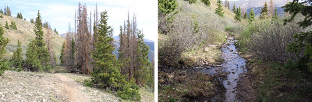
The trail winded through brush and chaparral
Before entering Aspen groves
Here’s a look at the route
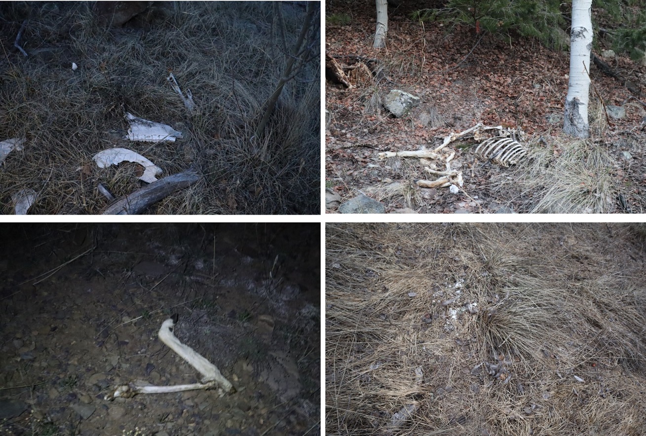
After a mile of hiking I could no longer hear the dog barking, and I started seeing discarded deer legs on the trail (and hanging in the trees) from hunters last fall. I even saw a dead mouse in the middle of the trail. Oh, how I was regretting binge watching Stranger Things last month! After hiking about 3 miles I heard a loud “Woof!”. I stood still for 3 seconds, trying to figure out if I’d really heard what I’d heard when I heard two more quick barks: “Woof! Woof!”. I thought to myself “What wild animal barks? Coyotes yip and howl and so do wolves”. I concluded it must have been a dog (a large dog) and continued hiking. Weird since I was the only one for miles…
There was one annoying aspect to this hike (besides all the horse poop): So far I wasn’t gaining any elevation. I’d lost 300’ going down to Major Creek, and from then on I kept hiking up and down small hills. I’d think I was gaining in elevation only to lose it again and head back down to the creek.
At 4.8 miles (10100’) I came across measurable snow on the trail, and at 5 miles I crossed a small creek and came to a camp.
It was obviously a horse camp and I figured the guy who lived adjacent to the trailhead spent a lot of time here (in the summer).
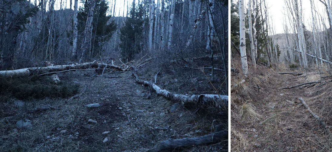
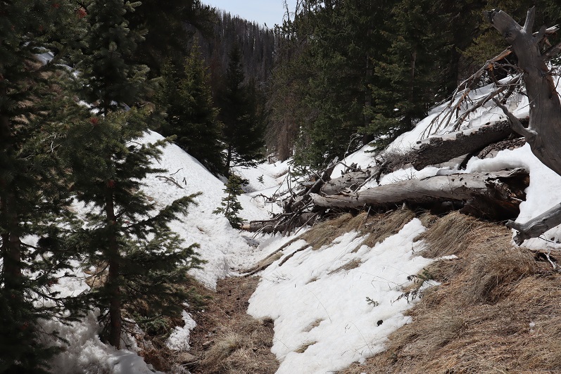
The trail had been nice up until this point. A few downed aspens here and there, but nothing major. However, it was obvious not many people used the trail after the camp area.
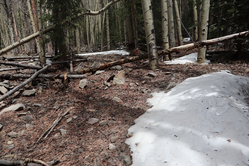
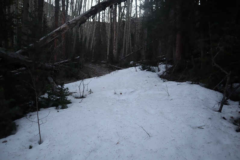
I just kept heading northeast, and every now and again I’d find the trail. And then the snow began. Around 10,900’ snowshoes became mandatory.
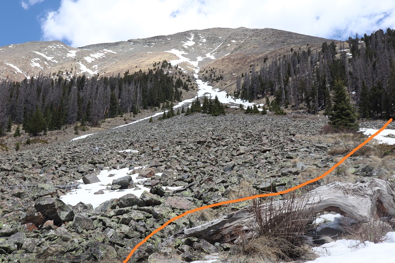
At 11,000’ I turned right (east) and rounded a boulder field. I put some surveyors tape on a tree so I could remember where I exited. I only barely skirted the boulder field, and then continued southeast through some trees and into a meadow.
There was a lot of evidence of elk and moose in the meadow. I think they may bed down here at certain times of the year. At the end of the meadow there were cairns and I turned left (northeast) and followed a much better trail up the mountainside.
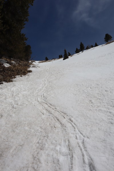
At times this trail was covered in several feet of snow, and at times it was bare, but it was always easy to follow. Postholing wasn’t fun, so I put on my snowshoes for a bit, and kept them on until the snow subsided.
Making it to the saddle was easy
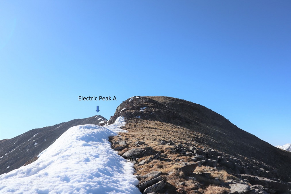
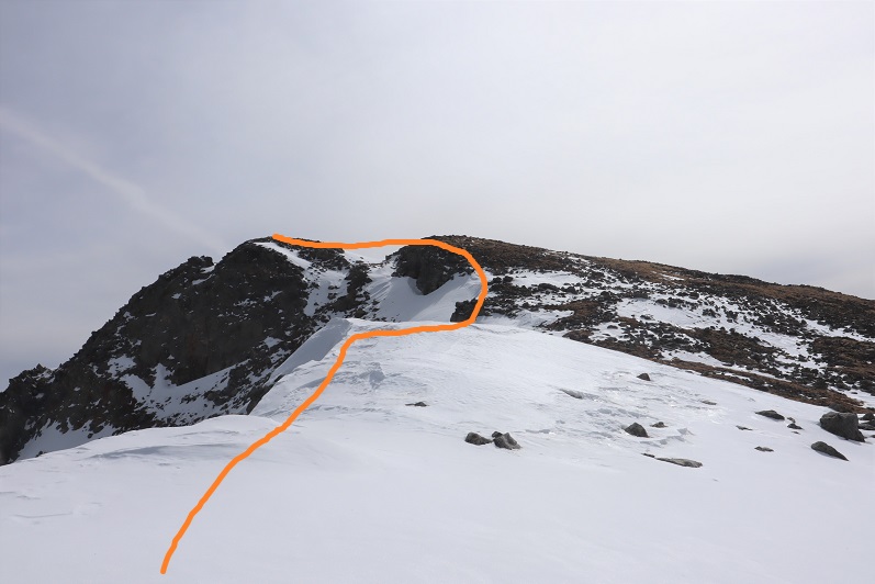
From here I chose to do Electric Peak first, mainly because it was the taller of the two ranked peaks, and a little longer of a hike. I turned right (southeast) at the saddle, and followed the saddle towards the peak. This is much easier than it looks.
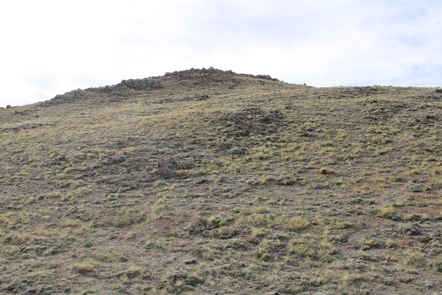
However, this is not the peak
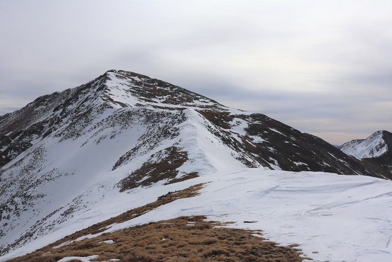
As with Cottonwood Peak just a few miles away, Electric Peak A has a hidden summit
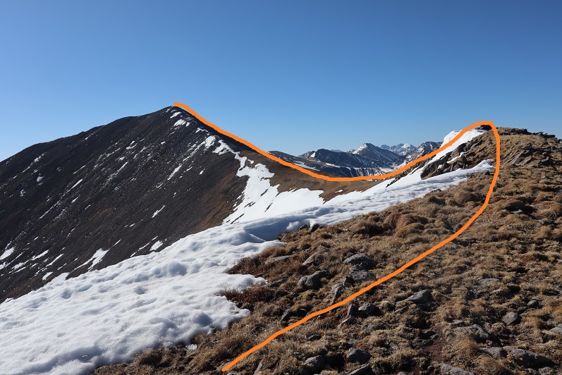
Luckily it was an easy ridge walk, first starting out with tundra, and then moving to larger rocks (all pretty stable)
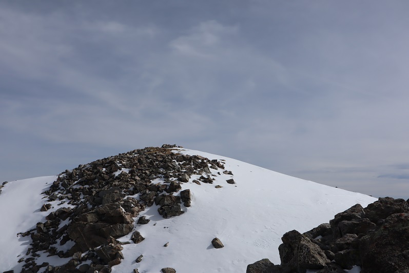
I summited at 9:15am
Electric Peak A
There was a summit register. I don’t normally sign these things, but since it was apparent I was the first person to summit since October of last year and it was warm enough for me to take off my gloves, I signed it.
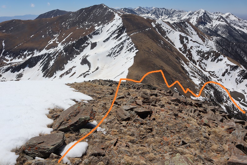
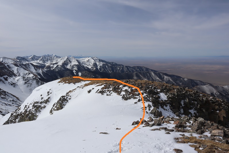
And turned to head back. I was a little worried about where the true summit to Lakes Peak was, considering all the false summits in this area. Originally I’d thought it was the peak to the left of the saddle, but now I was worried it was the peak behind that peak. I decided to get out my altimeter when I made it to the top of the false summit and do the math. Here’s a look at the ridge back
When I made it to just above the saddle I was very pleased to find out the peak before me was indeed Lakes Peak. I headed down to the saddle, and then up the ridge, being careful to stay just to the left of the snow
There was still a lot of snow in the basin to the east, but not much to the west. While hiking down I saw a boulder the size of a microwave break off and roll down the hillside, coming to rest in the basin. It was neat to see the trail it left behind.
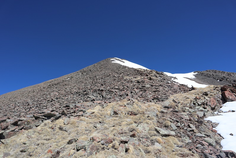
The trek up Lakes Peak was full of very loose rock. I felt that at any minute I was going to cause a rockslide, so I placed my footing accordingly. By this time I was quite tired, so it was slow going.
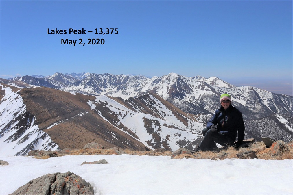
I summited Lakes Peak at 11:10am
Lakes Peak:
There was a summit register here too, but I couldn’t open it so I didn’t sign it. Also, the clouds were moving in quickly and I wanted to get below treeline. I turned to head back down the ridge
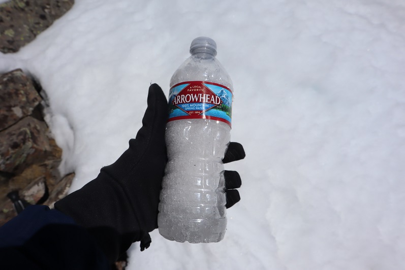
When I got to the saddle I stopped to fill one of my water bottles with snow. It was a hot day and I wanted to be prepared in case I needed more water: It was still 7 miles back.
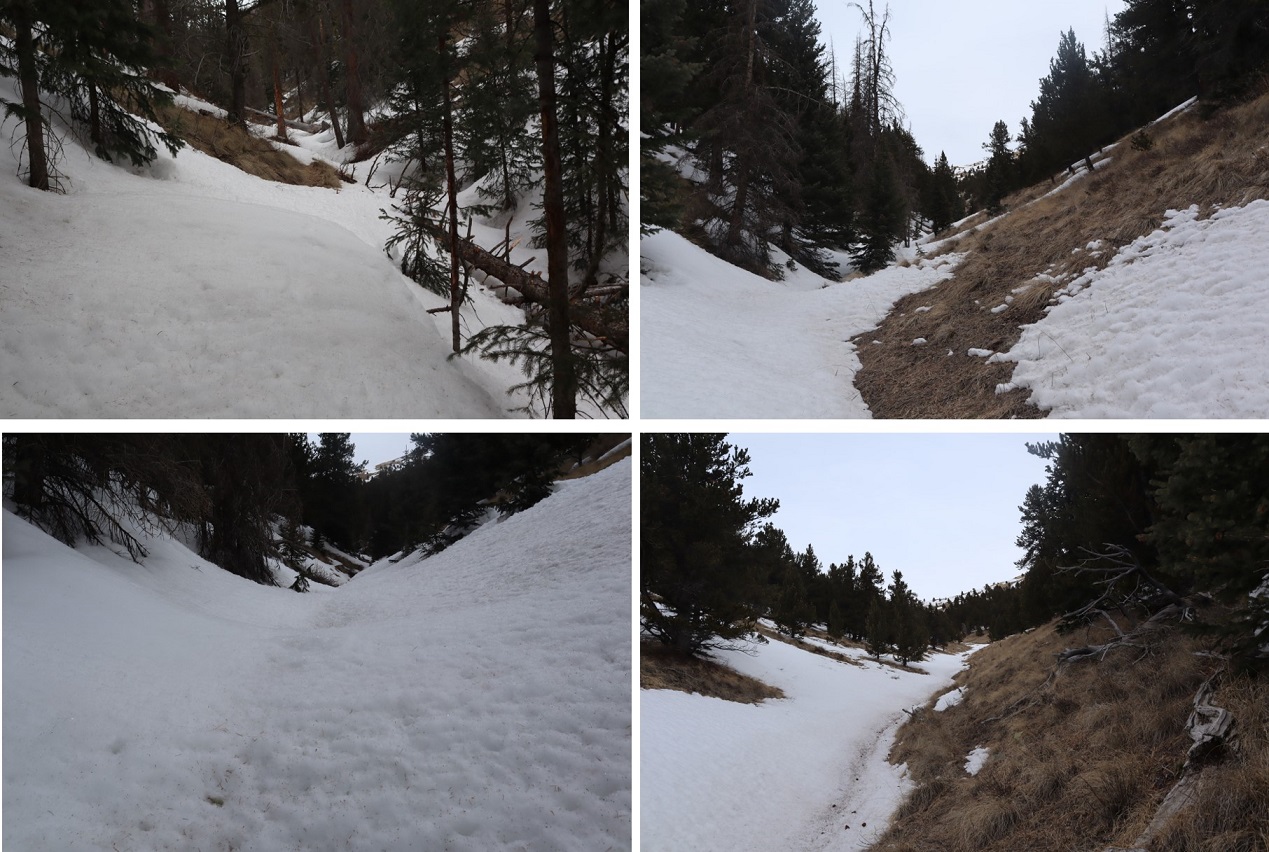
From the saddle, here’s the route back (after you make it to the basin)
The snow at treeline to about 11,000’ was awful: Mushy stuff that I sank in with every step (with snowshoes on) for about 2 miles.
I made it back to the basin, found the cairn, and headed back over the boulder field, found the yellow surveyors tape I’d left, and headed southwest back down to Major Creek
No, it was not a fun trail to follow, even in the daylight
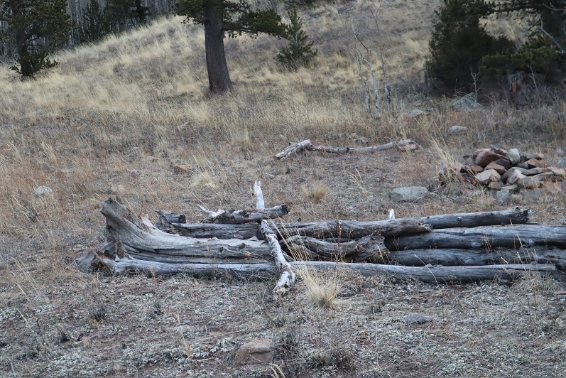
I passed the horse camp, and an old abandoned cabin at 9780’
The entire way back there were hundreds (thousands?) of dead trees littering the sides of the trail. It looked like an avalanche had come through, or the trees had all been killed off and the wind had blown them over. Speaking of wind! It didn’t stop! It kept getting stronger and stronger, and I feared one of the dead trees would fall over on me as I was hiking. I heard lots of creaking and swaying.
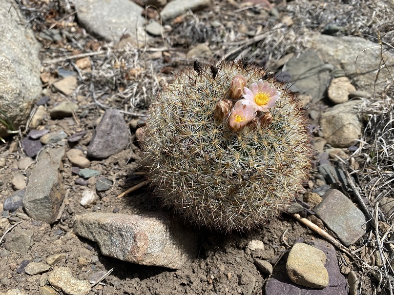
I’d been worried about the last 300’ of elevation gain climb from Major Creek up to the trailhead, but it ended up being easier than I’d thought, mostly because of the great cloud cover and wind cooling things off. I just took it slow and kept putting one foot in front of the other. The cactus blossoms were nice.
I made it back to the trailhead at 3:45pm, making this a 19 mile hike with 6661’ of elevation gain in 12 hours, 45 minutes.
OK, I’ll do my whining here: I bought a new pair of winter climbing boots last week and wore them for the first time yesterday. I didn’t think much of it, and my feet did well. Today however, not so much: my feet did fine on the way up, but on the way back I was limping. The new boots were just too tight around my shins and when I took off my shoes at my truck noticed large bruises (3 inches in diameter) and blisters on my ankles both inside and outside. I really, really like these shoes, as they kept my feet warm, but I’m worried they’re going to take a lot of breaking in. Tonight I’m going to put them by the fire and hit them with a hammer for a while, trying to loosen them up, after soaking my feet in a salt bath.
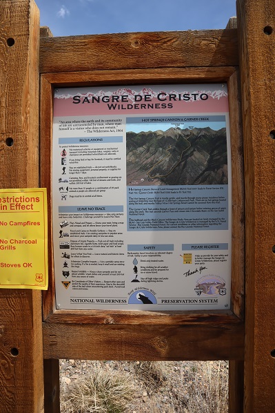
I got a bit of a later start on this one that I’d intended, as when my alarm went off at 12:30am I hit snooze and slept another hour or so (I’d already summited 7 peaks in the past 2 days and was a little tired). I made it to the Hot Springs Trailhead after first being led by GPS to the Hot Springs (which the sign indicated clothing optional: it was also closed due to Covid-19 fears).
The drive to the trailhead is easy 2WD on a dirt road.
There was 1 other vehicle parked there when I got there, which I thought was odd. It was a newer VW and didn’t look like it had been there overnight. I tried to be quiet in case someone was sleeping in their car but thought to myself “Great! Someone else is trenching the trail for me!”
The trail is a loop, and I was surprised to find out it was actually an established trail. The morning was getting better and better!
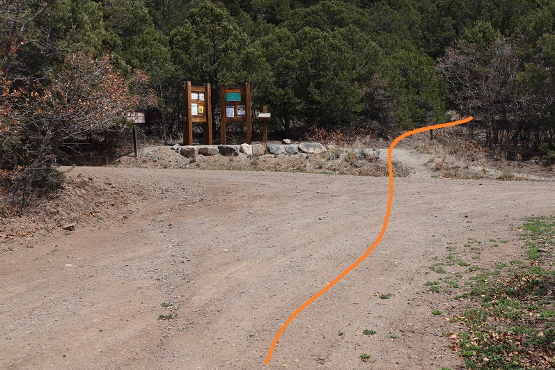
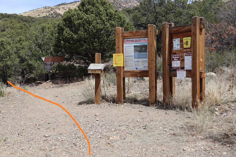
Just as an FYI, you cannot see the peak from the parking lot, but it was dark so that didn’t matter anyway. I signed the trail register (which was difficult due to the cold temperatures and ballpoint pen available). I wanted to summit Cottonwood Peak first, so I took the trail clockwise, starting to the left
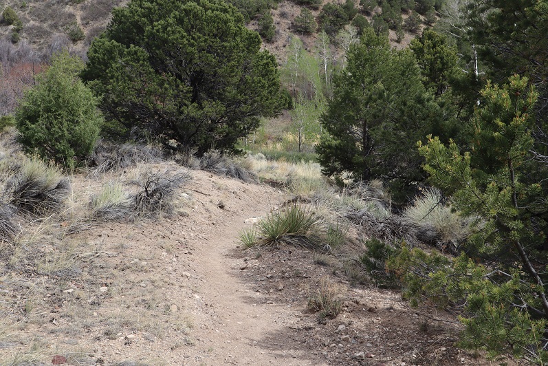
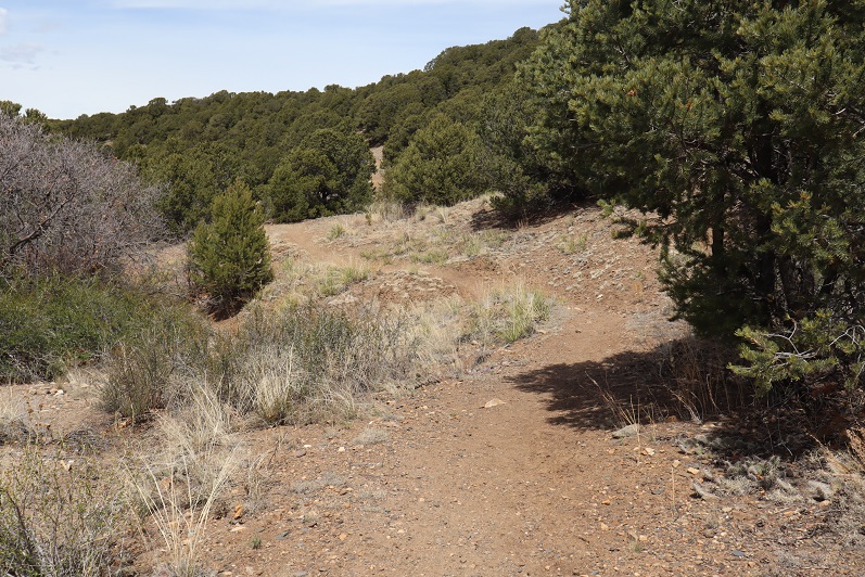
The trail starts off wandering through chaparral
Here the trail was clearly marked and easy to follow.
I rustled a sleeping ptarmigan as the trail switched to scrub oak
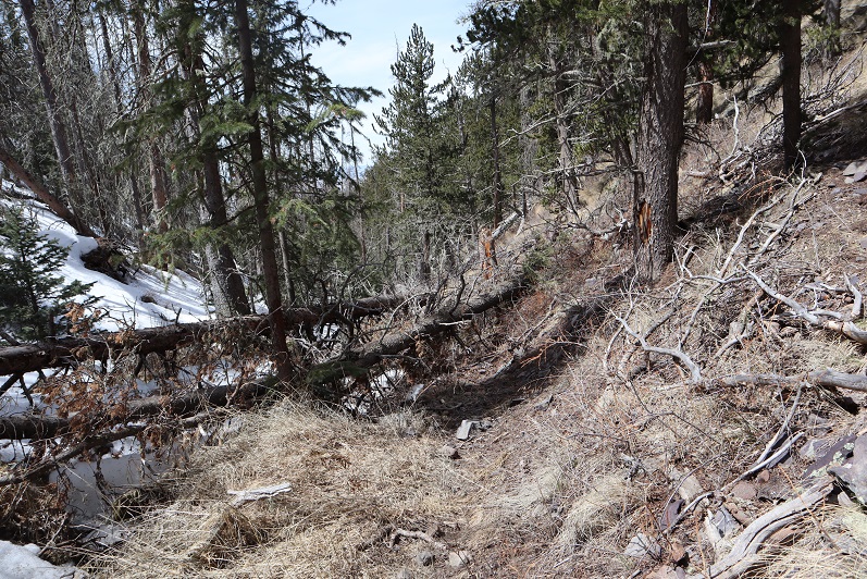
Once I entered the aspens the trail started to deteriorate. What I’d been pleased to discover was a good trail became a trail in much need of maintenance. I was navigating over fallen trees for the rest of the hike, and it became increasingly obvious no one had used this trail since the Fall and no one would be trenching for me today.
Around 2.4 miles there was a great spot for a campsite (10130’)
What I found disturbing were the number of dead animals I encountered on this hike. There were deer remains everywhere (I’m pretty sure it was more than one deer, spread out over a few miles) and a lot of bird feathers. It let me know there was a predator in the area, I just wasn’t sure which kind?
I encountered the first real snow after about 2.6 miles. It was still early in the morning so I didn’t need traction, but I did posthole from time to time. Here the trail was difficult to see, as it was both covered in fallen trees/branches and snow.
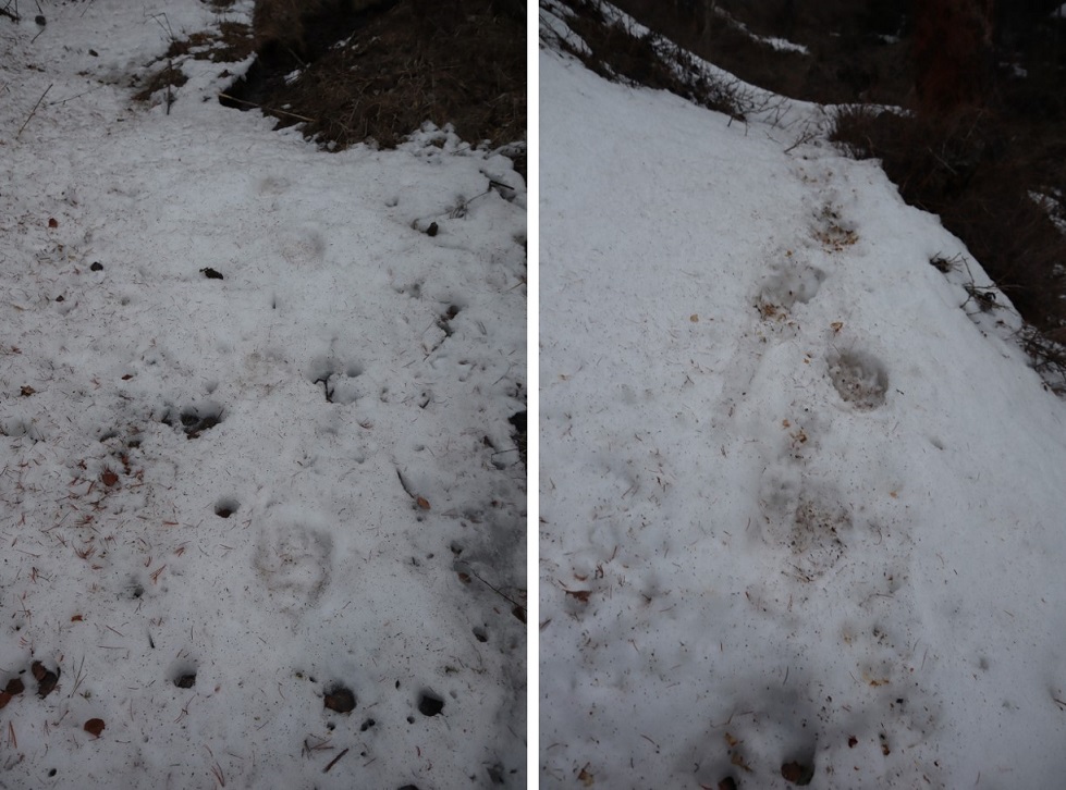
Here things got interesting: I came across bear tracks! They looked like they were from the day before, and since there was only one set of prints I knew it wasn’t a mama, and that it was just passing through. I followed prints along the trail for about a mile
Since the trail was difficult to follow and the snow was getting softer I found myself straddling the ravine and following the small stream around the mountain
It became increasingly apparent I was the only one to use this trail in a long time. I circled around to a gully, which would have been challenging if there’d been more snow. Instead it was a steady climb up, and when I had the option, I took the gully to the right, also easy to navigate
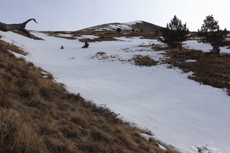
The second gully ended near treeline, and I became excited as I thought I could see the peak.
Of course in my mind I knew I was too close to treeline for that to be the peak, but surely it had to be just behind it? As I continued on I saw another peak behind the first one and figured that was the summit
Up, up, and up I continued, doing my best to avoid the snowy areas.
Imagine my surprise (and dismay) when I finally reached the top of the second peak and noticed I wasn’t anywhere near the summit: it was still quite far away
Not only was I still a good distance from the summit, but I would need my ice axe and snowshoes. Luckily, I had both. I sighed, broke down, and put them on. There was no way I was turning back now. The weather was great (the best day I’ve had all year) and while I’d already done 30 miles this weekend with 15K of elevation gain and was physically exhausted, I wasn’t quitting this close to the summit. I left my trekking pole here and continued on, ice axe in hand. The only way across the ridge was to walk directly on top of the cornices. Luckily the snow here seemed firm
The last bit to the summit was easier than expected
I summited at 9:30am
Summit Views:
There was even a summit tag on top
This hike is traditionally done as a loop along with Unnamed 13123B, so I went over to get a good look at the route
Hmmmm…. The route didn’t look that difficult. Actually, the ridge looked better than the one I’d just traversed, but it was a really nice day and the snow was warming up fast. I knew I could summit 13123, but I was unsure of the snow conditions on the route back below treeline if I were to make this a loop. I didn’t want to re-summit Cottonwood because a) I’d already done 5000+ feet of elevation today and b) the snow was getting softer by the minute on this side as well.
In the end I decided to go with the safer route and descend the way I’d summited, figuring that while the conditions wouldn’t be ideal, at least I knew what to expect.
I turned and headed back the way I’d come, first over a pretty cool cornice
And then back down the ridge
My favorite part was toe-heeling it across the cornices
Here’s the route back
I decided to keep my snowshoes on, and this time stuck to the areas with snow.
The snow was a terrible mush and I was glad I’d decided to return the way I knew, even if it meant postholing and navigating felled trees
I kept my snowshoes on for longer than needed, but they came in helpful when I hit the boggy areas where there was no discernable trail but a lot of willows/snow/downed trees
They were cumbersome in areas such as this:
On the way back I scared the same ptarmigan as this morning and saw a cactus in bloom
I made it back to my truck at 12:30pm, making this an 11.5 mile hike with 5110’ of elevation gain in 7 hours, 15 minutes. The VW was gone.
I was really happy with my decision not to make this a loop today, and look forward to trying the trail counter-clockwise next time, when there’s less snow…