Manitou Incline x 2 & Mt Manitou 9460

1

RT Length: 11.5 miles

Elevation Gain: 4865’

The weather was absolutely perfect today for a hike, but the avalanche danger was high above treeline so I decided to play it safe and stay local. I set my alarm for 3am, decided when it went off that was way too early considering I didn’t need to drive far, and set it again for 4:20am.  The cats woke me up around 6am, wondering why I was still asleep.  I jumped out of bed, silently cursed my alarm for not going off a second time, realized it was user error on my part, and decided to head out hiking anyway as the sun wasn’t yet up.

There was a man attending the incline parking lot when I got there. He informed me today was the last day they were allowing parking at this lot, as they were going to use the lot as a storage area for equipment needed to fix the cog railway.  This was interesting information, and means I’ll have to either park at the shuttle lot (gasp!) or find other parking downtown if I want to hike the incline for the next two years. I made it to the trailhead at 6:40am and was on the trail by 6:50am.

2

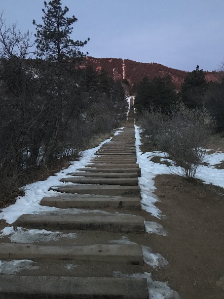
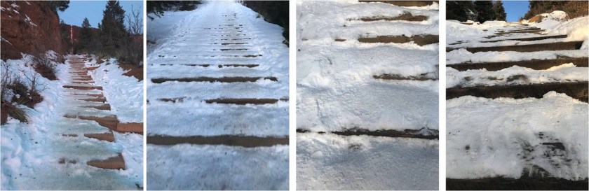
I usually hike for time when I hike the incline, but today I’d planned on just taking it slow and steady as I planned to hike it more than once. The steps were either completely dry or completely covered in snow/ice.  I was glad I’d brought my microspikes.

3

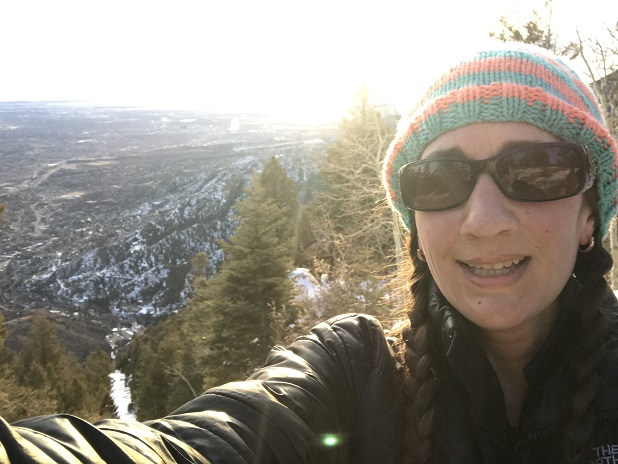
Just before 7am the sun started to rise. There were clouds in the sky so I never got a true view of the sunrise, but it was still beautiful

4

There weren’t many people on the trail this early in the morning (there’d only been one other vehicle in the lot) so the trail was nice and quiet. I only saw about 5 or 6 people on my way up.  I summited the incline around 7:30am.

5

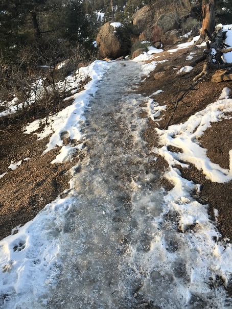
The 2.5 miles down the Barr trail was icy most of the way to the parking lot. Once again I was glad I’d brought microspikes.

6

OK, time to start this again. Once again I continued up the stairs, slow and steady.  It was warmer now but microspikes were still needed.  There were also many more people on the trail.  I felt overloaded in my knit hat, snow jacket, and with my pack full of gear while everyone else was in shorts and only carrying a water bottle, but I didn’t intend to stop at the top this time.  I summited the second time at 9:30am

7

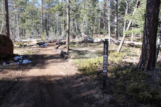
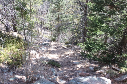
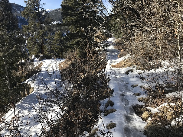
I’d had enough of people (there were dozens on the trail now) and decided to try to find the summit of Mt Manitou. I had a trail map that gave me the general direction of where the mountain was, but knew there wasn’t an established trail so I’d have to get creative to find the summit. I also couldn’t find any trip reports online, so I didn’t have more than my topo map to go by. I headed up the dirt road behind the incline towards the Barr Trail.  Here I found a trail that paralleled the 4WD road and decided to take it instead
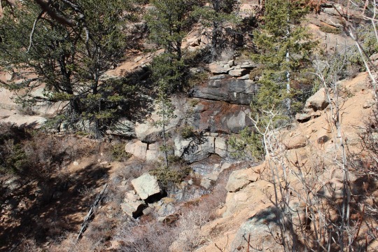
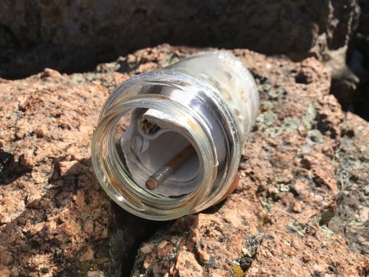
8

It led me to a cave

9

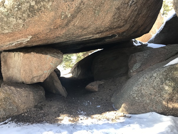
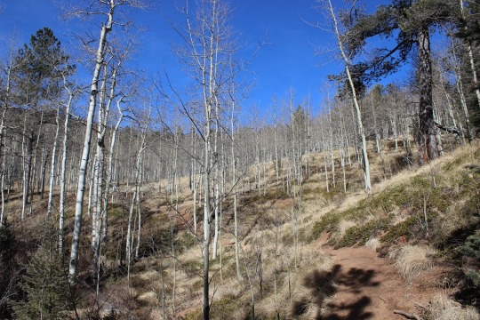
And then brought me back to the Barr Trail where it intersects with the experimental forest.

10

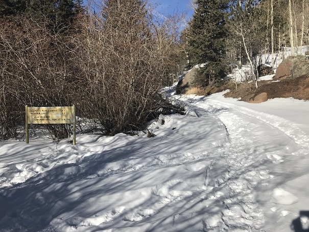
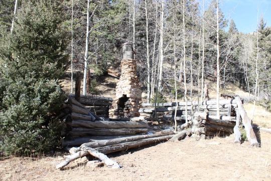
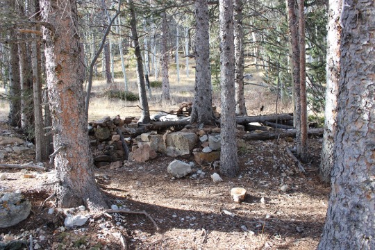
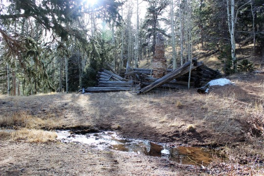
I’ve hiked in this general area dozens of times and I’ve seen the sign for the experimental forest every time, yet I’ve never taken that route. Today was my day!  I knew this trail would get me close to Mt Manitou, so I followed it and quickly came to the old experimental forest area.

11

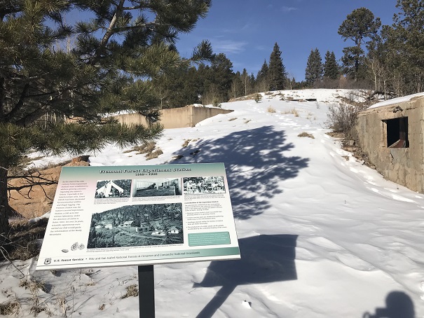
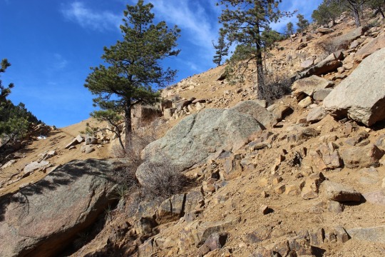
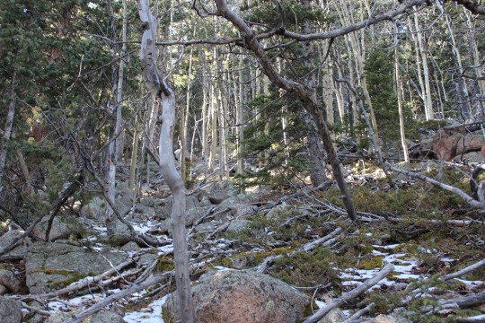
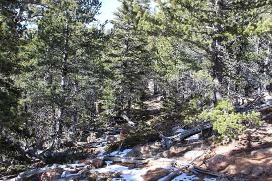
I continued to follow the dirt road covered in snow up and around past the experimental forest. When I was sure I was close I got out my phone and pulled up my Peakbagger app. It showed Mt Manitou as being NWN from where I was, so I aimed my compass in that direction and started hiking off trail.  This is where I really could have used snowshoes.

12

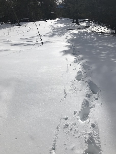
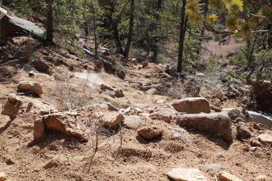
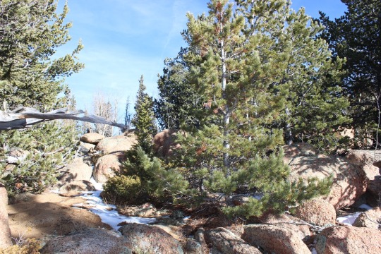
I was sinking up to my shins in show but the good news was there wasn’t any wind so it would be easy to find my way back just following my tracks. I could tell I was getting close to the summit when the snow lessened.

13

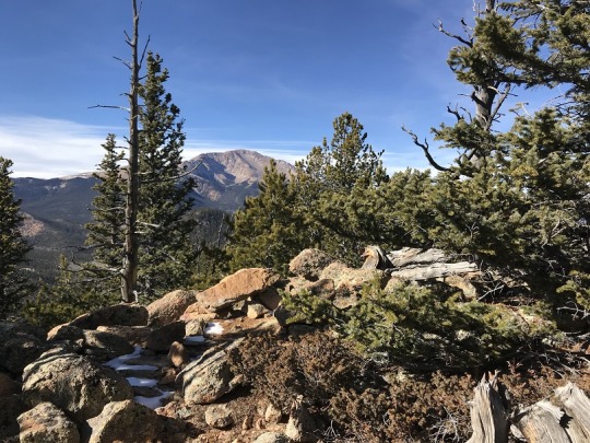
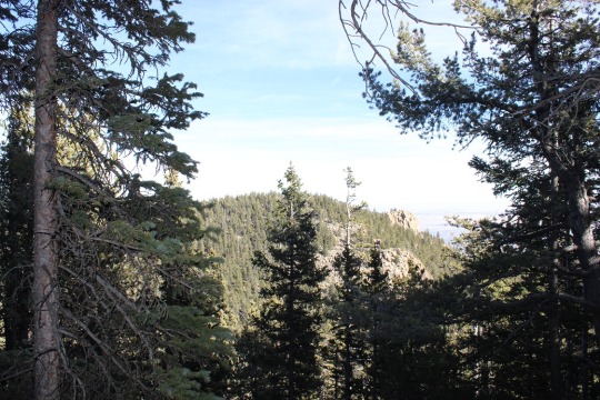
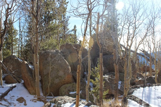
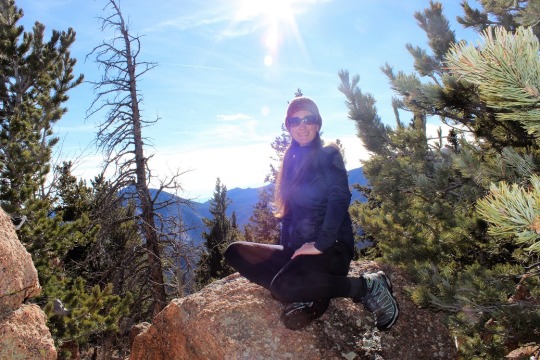
Still no trail, I kept hiking upwards, and soon I was at the ‘summit’. This was a treed summit with a lot of rocks.  One of them held a cairn and that was my only indication of a summit (that and it was the highest point around)

14

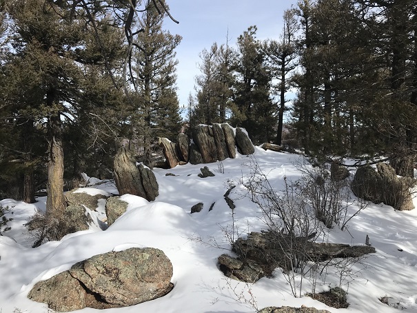
I climbed up on the rock both to make sure I was on the highest point

15

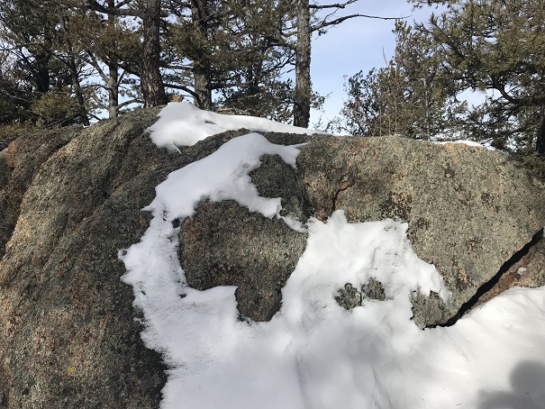
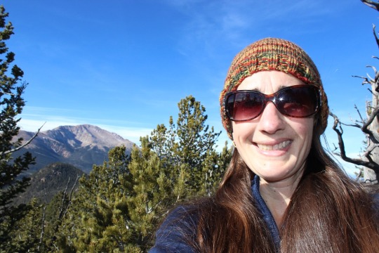
And to get a picture

16

And a video:

Mt Manitou Summit:

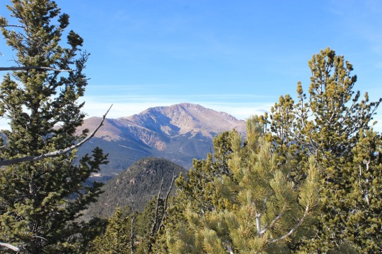
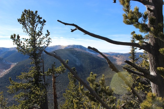
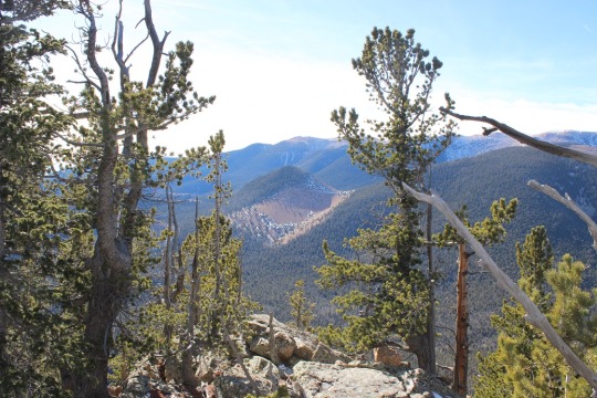
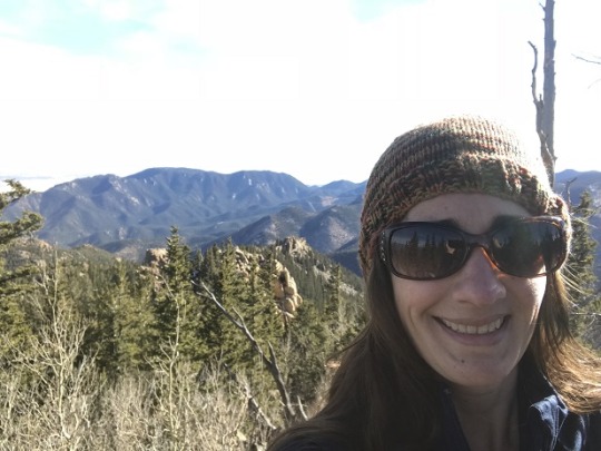
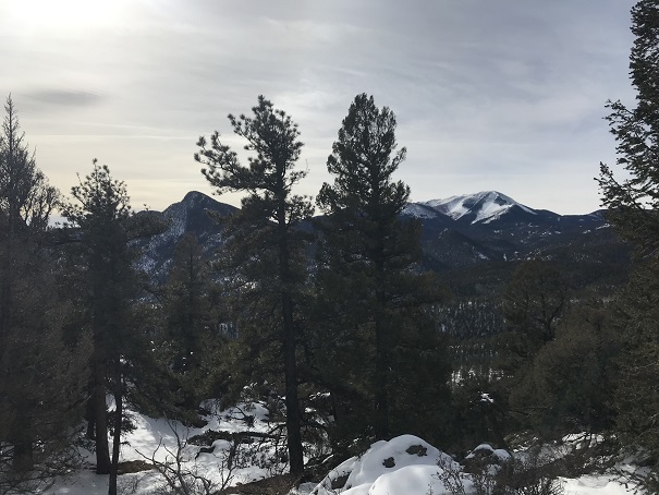
From the summit I could also see Cameron’s Cone, Almagre, and Pikes Peak

17

Ok, time to head back down. This was super easy as I just followed my earlier tracks back to the 4WD road and the 3.5 miles back down to the parking lot. This time the Barr trail was slushy and I was kicking up rooster tails of dirt onto the back of my pants.  I made it back to my truck at 12pm, making this a solid 4865’ of elevation gain 11.5 mile hike in under 6 hours.

18

The relive on this one is kind of fun

Relive:

https://www.relive.cc/view/2092516509

Loud’s Cabins, Mt Garfield 10,930′ and Mt Arthur 10,807′

image

12 Miles RT

3600’ Elevation Gain

This trail isn’t an established trail on any map, so I
needed to do a lot of research before heading out.  My advice to anyone taking this route:  Bring and know how to use a topo map and
compass.  Almost all directions I found
were wrong, but the topo map never failed me!

I woke up this morning and it was a bit overcast when I
looked towards the mountains.  However,
the weather looked like it’d clear up in an our or so, so I decided to hit the
treadmill for an hour and get in some exercise, shower, and then head to North
Cheyenne Canyon.  

I arrived at the trailhead at 9:40am, and was on the trail
by 9:45am.  What a difference a few days
makes in trail hiking!  There was very
little snow here, where last week there was a good 3+ inches.  

I’ve done this part of the hike several times, so I’m not
going to go into detail.  Here’s the
route I took:

Park in the lot above Helen Hunt Falls

Take Gold Camp Road West to 622

622 is the 7 Bridges Trail

After crossing the 7th bridge turn right onto 622
and climb up the mountainside, along a scree filled slope, and stay right
through an Aspen Grove.  

image
image

At the top of the Aspen Grove you’ll come to a
junction.  

image

Turn left (West) onto 667

image

Shortly after this junction you’ll come to another
junction.  

image

Turn right here onto 622A, and follow the route to Loud’s
Cabin.

image

Side note:  Professor Frank
Herbert Loud (1852-1927) worked at Colorado College as a mathmatician.  He wrote mathematical textbooks, and took
many visitors to his cabins in the woods (there are 3), including the writer of
“America the Beautiful”, Katherine Lee Bates.

image
image

Most of my information about trails was wrong for this part
of the trek, and I’m assuming this is the reason:

image

There are many social trials in this area, but when you
reach Loud’s Cabin head north and cross the stream once again.  From here you should follow the trail to the
right (east) for a bit before turning back west and closely following the creek
up the mountainside.

image

This isn’t a real trail, but more of a social trail filled
with scree and lots of cairns.  It can be
difficult to follow at times, but as long as you parallel the stream to the
right and make it to the waterfall you’re on the right path.

image
image

Eventually you’ll reach the saddle between Mt. Garfield and
Mt. Arthur.  This isn’t a saddle like I’m
used to:  It’s covered in trees and
vegetation, with no trails.  I was
frustrated because the trees blocked the view of both mountains.

This is where I got frustrated.  I knew there wasn’t a solid trail to the top
of either peak, but now that I was on the saddle, I still wanted a trail to
follow.  I kept thinking of how easy it
would be to get lost in all that vegetation!
I seriously contemplated turning back around and trying this another
time, but I’m stubborn!  I’d hiked all
this way, I was very, very close to my intended destination, and wasn’t this
the reason I was hiking here?  For a
challenge?  How was I going to practice
route finding if I didn’t take a chance?

I looked around again for a trail.  Well, there wasn’t one, so I steeled myself
and turned west, aimed for the top, and bushwhacked to the top of Mt.
Garfield.  There was a lot of snow and
fallen trees.  Here’s what the “path”
looked like:

image

The views at the top were worth it!  Not to the east, because trees were in the
way, but to the west I had a great view of Pikes Peak!

image
image

Here’s a view of Almaghre

image

And one of Runs Down Fast Mountain (one I want to tackle
soon)

image

I spent about 15 minutes on the summit, and then started my
descent.  Since there wasn’t an
established trail I just kind of aimed towards the saddle and kept a view of
Mt. Arthur in sight.

image

It was fun to see some of my old steps in the snow!  That meant I was going the right way.  Unfortunately the snow wasn’t consistent
enough to follow tracks the entire way, but it was nice to come across them every
once in a while.

I made it back down to the saddle and seriously contemplated
just heading back.  This hike had taken
longer than anticipated and I was running out of daylight.  But I was so close!  Did I really want to hike another 12 miles
just to summit a peak I was less than half a mile away from?  Nope. I headed east up the slop of Mt.
Arthur.  This area was much easier to
hike up then the terrain on Mt. Garfield.
There was almost no snow, and a lot of rocks, so I basically just
climbed west, taking care to stay away from the rock outcroppings to the south.  

image
image
image

It felt really good to summit!  The views here weren’t that great, but I took
a few pictures just because I was there.

image
image
image

Now it was time to head back down.  The route was much easier to follow on the
way down than it had been on the way up, mainly because I knew where I was
going.  

image

I made it back down to my truck at 3:15pm.  

Stats:  12 miles, 3600’
elevation gain, 5.5 hours total hiking time.

Mt Kineo – 9,478

I’d really wanted to hike above treeline today, but with
anticipated wind speeds of 40mph and windchill of -18 degrees above treeline, I
thought it would be a better idea to stay closer to home.  I didn’t set my alarm for this morning, but
woke up at about 7:30am when the cats informed me the sun was up and I wasn’t.  Imagine my surprise when I woke up to about 2
inches of snow on my front lawn!  Luckily
it was a very clear day and the winds here seemed to be minimal, so I ran for
an hour on the treadmill, took a shower, and answered some emails before
heading out to hike.  I was waiting for
the temperature to warm up a bit before hitting the trails.

I made it to the trailhead at around 10:15am.  The drive up the canyon was very icy, and
closed to vehicles that didn’t have 4WD.
This was a bit unexpected, as the area looked snow free from both my
house and the road (it wasn’t).  

I attempted to hike Mt Kineo earlier this year, but had to
turn back due to lack of sunlight and a visible trail.  Today I was just looking for a hike close to
home that could serve as a training hike since I couldn’t get above
treeline.  I was also looking for a
successful summit, because it really hurt to have to turn back last time.

I started at 10:30am.
There were about 10 cars in the parking lot, despite the gate being
closed to upward traffic back down at the visitors center (the exit gate was
open, which is what we all took to get in).

The trail started on Gold Camp Road, then after crossing the
North Cheyenne Canyon creek intersected with the Seven Bridges Trail (622).  This part of the hike was relatively easy,
although covered in a 2-3 inch layer of snow.
It wasn’t slippery because it was truly fresh snow, but it did slow me
down a bit.

Once I started crossing bridges the trail got much more
icy.  It wasn’t icy enough to warrant microspikes
(I had them) but I did need to pay attention to my footing.  Much of this part of the trail was in the
shadows of the canyon, and cold.

After passing the 7th bridge it began to warm up
a bit.  I took the trail to my right,
turning sharply uphill, staying on 622.

Here is where the elevation gain started to get a bit more
intense, although not difficult.  I
crossed a rocky section, and then a section of loose scree.  This was my favorite part of the hike!

The trail paralleled a creek, and then turned right onto
trail 622A and continued up a hill that skirted an aspen grove.

At the top of the hill is where I had to turn back last time
due to inadequate information and not enough sunlight.  However, this time I was greeted with trail
signs!!!  Apparently last time I’d hiked
when the trail was “under maintenance’, so all the signs had been removed.  Today they were back!

No, these trail signs did not indicate the trail I needed,
but they did indicate where I was exactly on the map.  From the signs I turned right and saw a large
downed tree to the east.  This is where
the ‘trail’ to Mt Kineo started.  I could
immediately see my mistake from last time:
there are numerous social trails in the area, and when there wasn’t any
snow I traversed more to the left.
Indeed, now there were footprints taking the route I did before.  However, I decided to take the trail without
footprints, the one that was now obviously a trail with a few inches of snow
but that I hadn’t been able to see without snow.

It was so cool to be the first one making tracks on this
trail!  I knew I was on route, and that I
wasn’t too far away from my destination.
The trail was difficult to follow in areas due to the snow as well, but
every so often I’d come across a cairn and know I was going in the right
direction.

I stayed to the west of the Aspen grove, and soon took the hill
and was on a saddle.  Here I had a great view
of Pikes Peak!

I continued up and to the east, and shortly came to a small
rock hill.  At the top of these rocks was
Mt. Kineo.

The way up was cold and slippery due to the snow, but not
really difficult (and without snow would have been no problem at all).

I summited at noon, and had great views of Southern Colorado!  

I was super proud of myself for making my own tracks and
gaining a summit that didn’t have an established route on a map.  

The hike back down was colder than the hike up, and covered
in more shadows.  Once I hit the Seven
Bridges Trail the snow had turned to ice along this popular trail due to hikers
packing it down on their way.

I was surprised to see Barron, a scout in Thomas’ Boy Scout
Troop, biking along Gold Camp Road as I was hiking down.

I made it back to my truck at 12:30pm, making this a 6 mile
hike with 2020’ in elevation gain in 3 hours.
Not bad considering the route finding and snow!