RT Length: 10 miles
Elevation Gain: 4094’ (debatable?)
Time: 7 hours
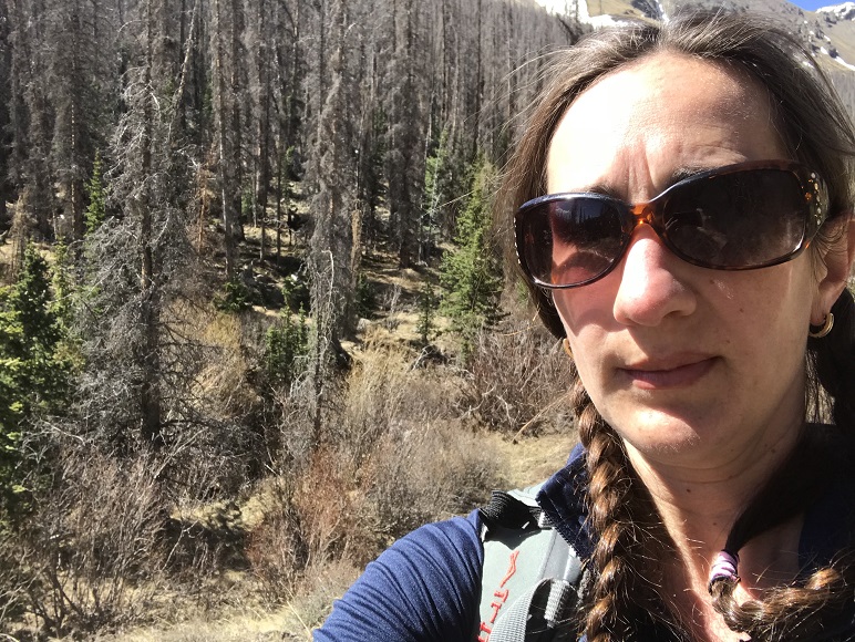
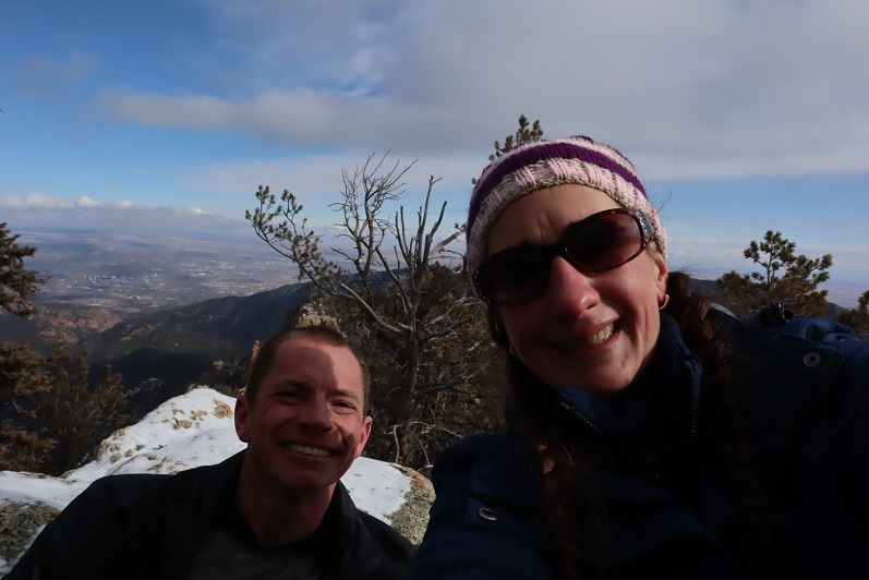
Partner: Steffen
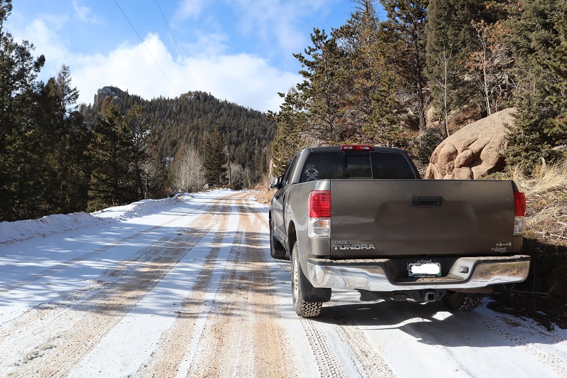
Another day of local highpointing! Today I’d wanted to hit 5 highpoints off Old Stage Road and Steffen volunteered to go with me to practice some routefinding below treeline. It was snowing (lightly) when we made it to the first parking spot. Actually, the drive took what seemed like forever because I was careful driving on the icy road. I had to turn around a few times before finding a big enough space to park my truck while avoiding drifts and ended up parking a little ways further than I’d wanted to.
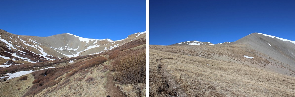
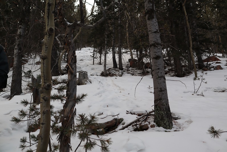
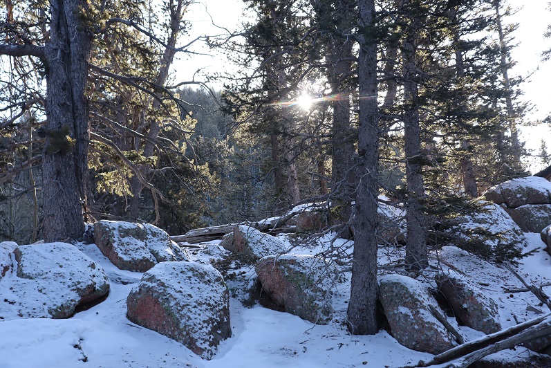
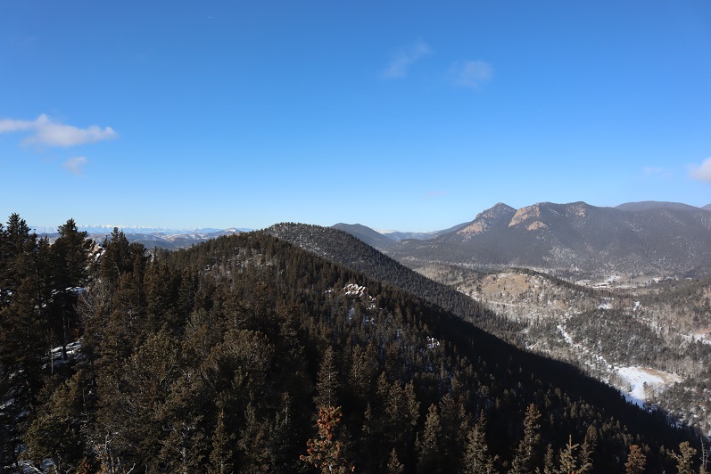
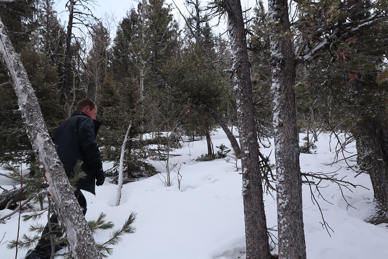
We donned our microspikes, left the snowshoes in the truck, and headed west along Old Stage Road. There isn’t a trail on this one (or if there is it was covered in snow) so we just walked up this slope and continued southeast up the ridge
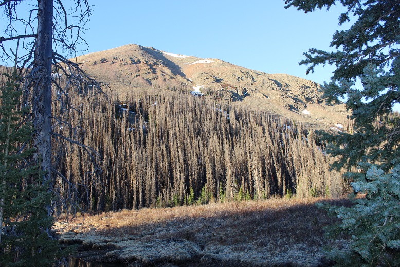
Knight’s Peak, McKinley Peak, and San Luis Peak
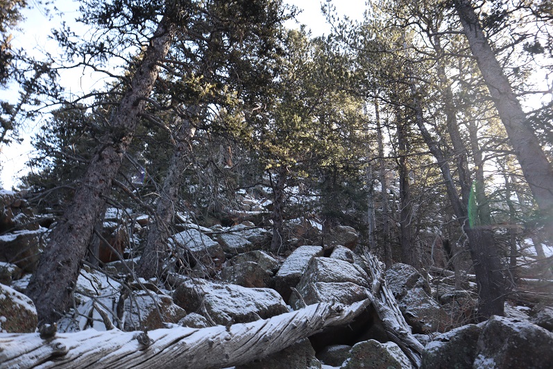
There was snow here, and a lot of downed trees. I let Steffen route-find since he’s learning. In places where I would have zig-zagged to avoid branches he just knocked down the ones in the way. My bandana kept getting caught on branches (and eventually ripped in half).

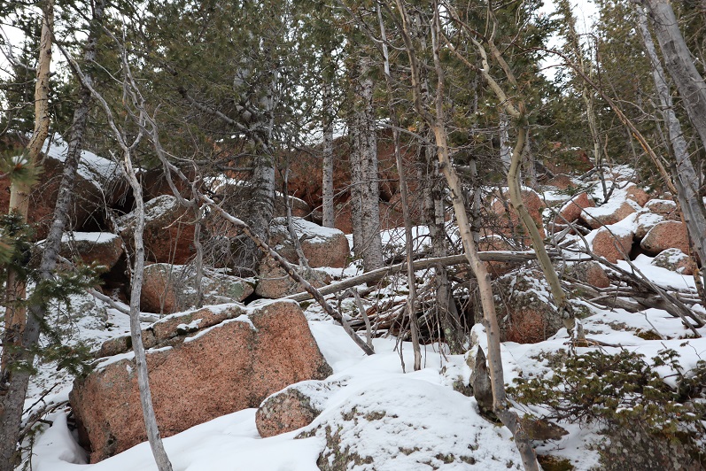
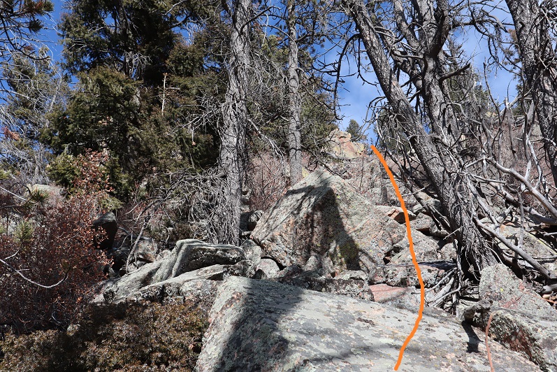
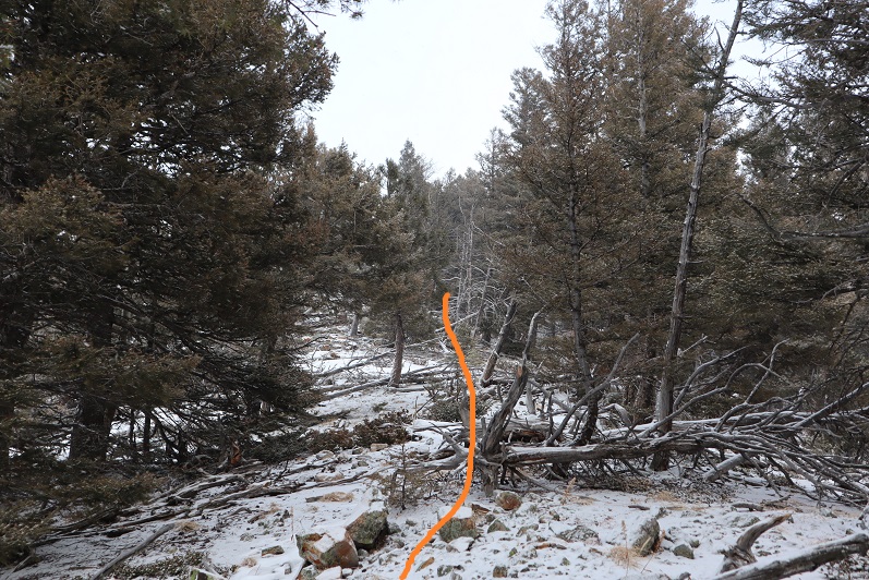
About half way up the ridge we ran into an old set of tracks and decided to follow them up
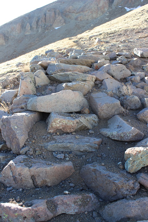
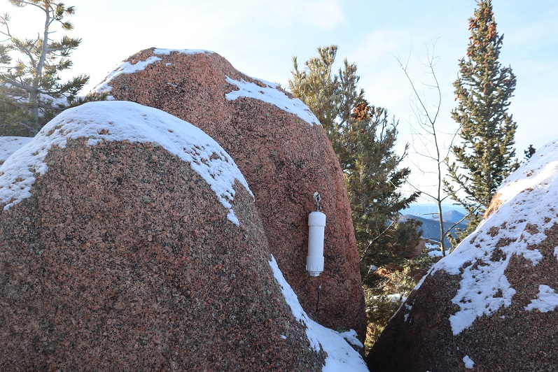
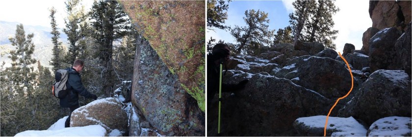
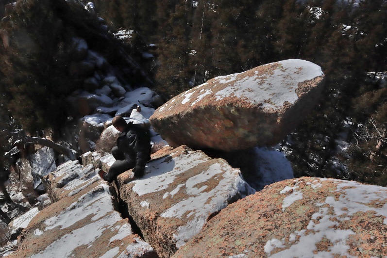
The tracks led to a rock formation
This rock formation had a class 3/4 chimney we used a strategically placed log to climb. This part was unexpected and fun!
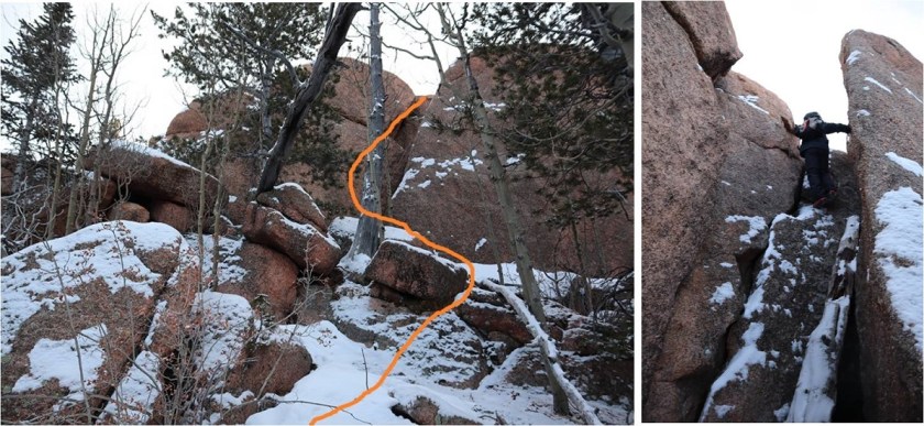
Looking down the chimney

From here we continued southeast towards the summit
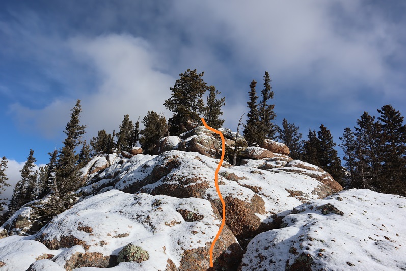
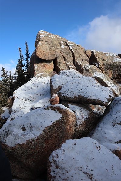
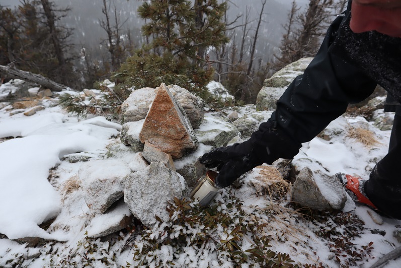
The summit block had a rather fancy trail register
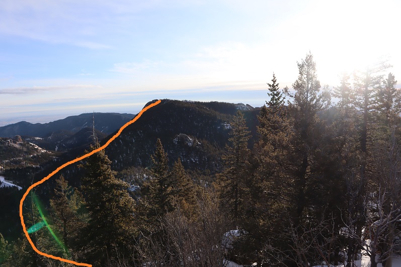
We didn’t sign the register, but we did climb up on the rock to make sure we tagged the high point. From here we had a great view of our next objective: Unranked McKinley Peak. Here’s an overview of the route we took
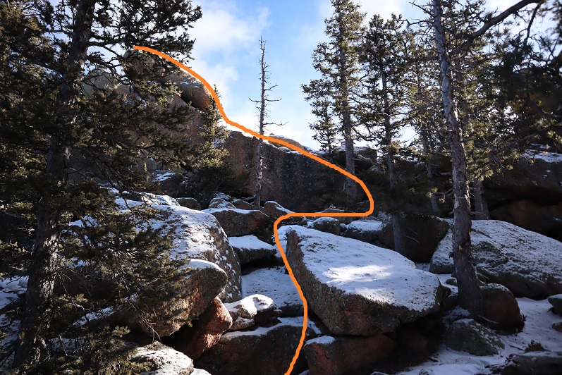
Heading down from Knights Peak was fun! We passed some stashed firewood, which made no sense to us since this place was littered with fallen trees
We headed towards the saddle and then up the ridge. There were some neat rock formations here too.

Check out the view of Knights Peak! When you descend this peak be sure to stay to the north.
There’s a bit of a false summit to McKinley, but the actual summit isn’t that far away.
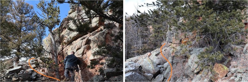
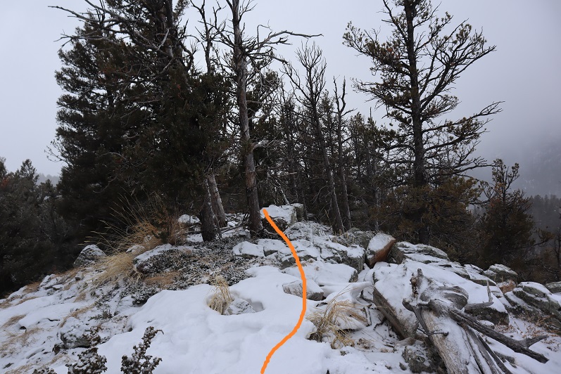
We went up these rocks
Skirted this rock formation to the right (south)

Carefully maneuvered our way up this ramp
And noticed the summit of San Luis Peak was to the right (east)

So we downclimbed the rock we were on to the left (west), skirted the large rock and re-climbed with a little scrambling back to the east
And headed towards the summit
This part was definitely class 3-4 climbing! It reminded me of the summit block on Sunlight in the Chicago Basin, but a bit longer
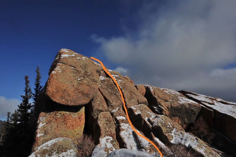
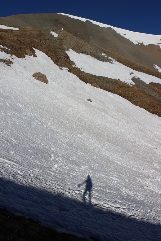
This part was challenging for me because it required taking off my gloves. The rocks were cold and covered in a thin layer of snow, so my fingers weren’t very useful. I did summit however, and took some photos for fun.

Here’s looking back on the other two peaks we’d already summited this morning
Steffen headed down the summit block first. He wanted to climb the other tower, which we both agreed seemed to be about 10 feet lower than the summit of San Luis Peak

I slowly made my way down, being careful not to slip because there was no way to catch myself. Ropes would be a good idea on this part. Helmets too.
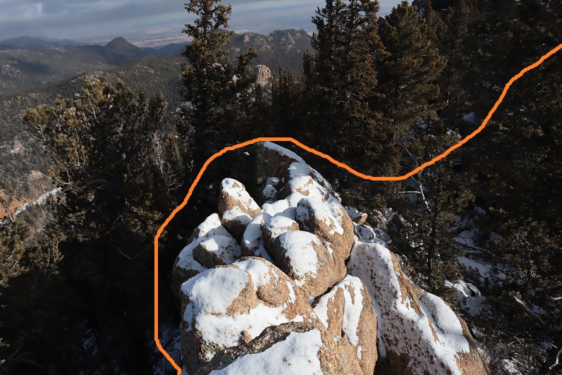
We fixed the cairns (they were pointing towards the lower of the two spires)
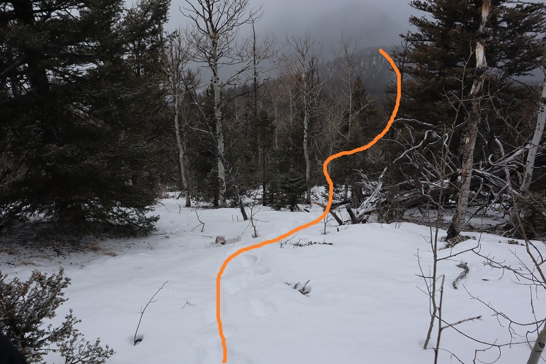
And headed back down the rocks. Here’s the route we took, using the tree for added support.

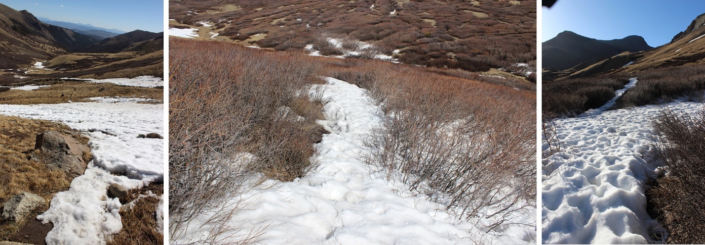
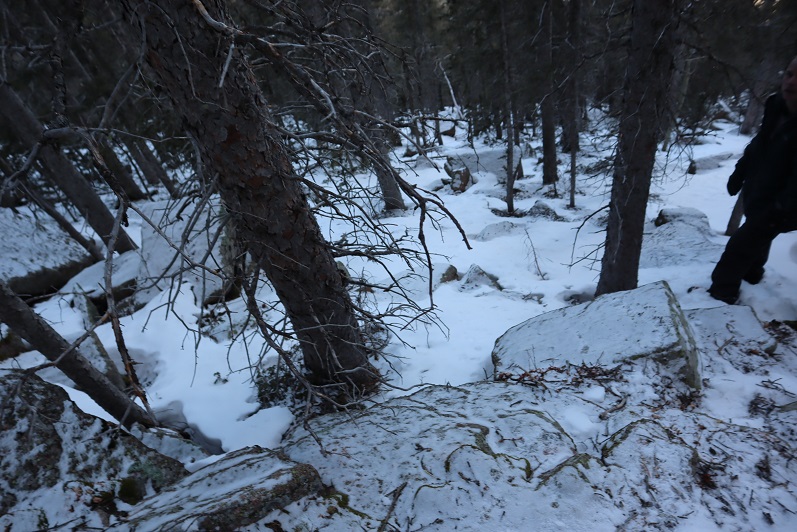
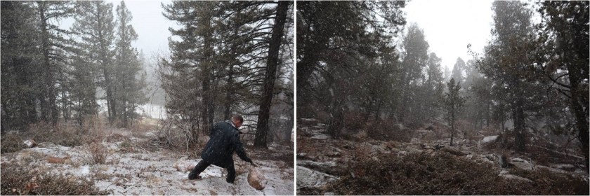
Once again, there was no path down this mountain. We just zig-zagged our way down through the trees toward the road. It was very steep, and I was glad we’d decided to take this way down instead of up.
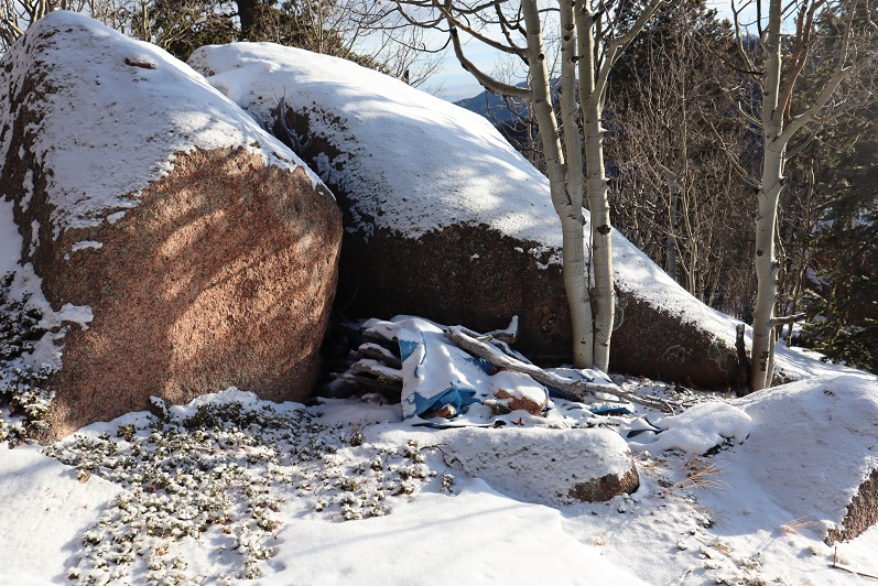
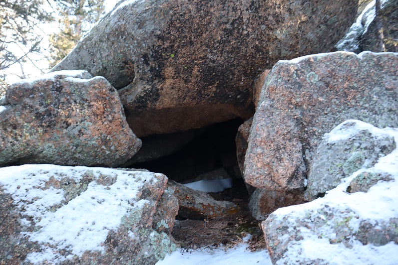
We came across a cool cave that would make a great den. We didn’t see any tracks near here in the snow, so we assumed it was vacant
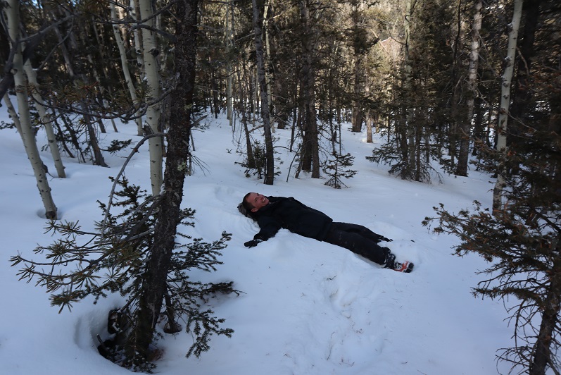
Steffen stopped to make a snow angel
And we exited the trees and followed the road back to my truck
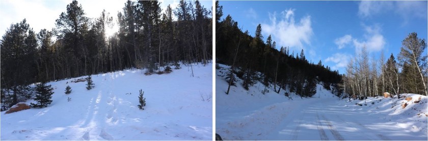
Here we could have taken a short cut between the mountains back to my truck, but the snow was too deep. If we’d had snowshoes it wouldn’t have been a problem though
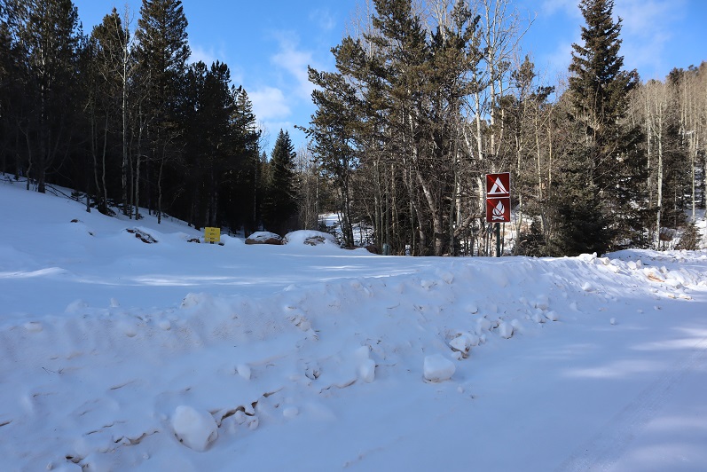
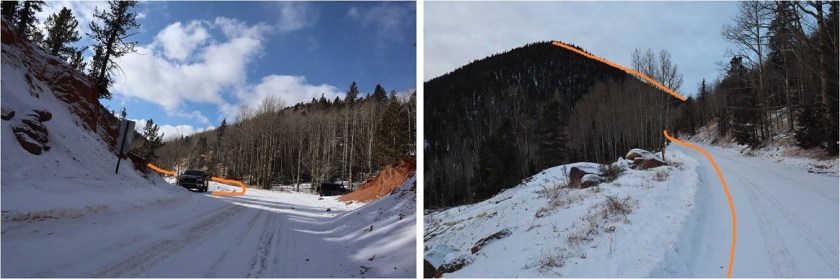
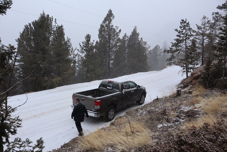
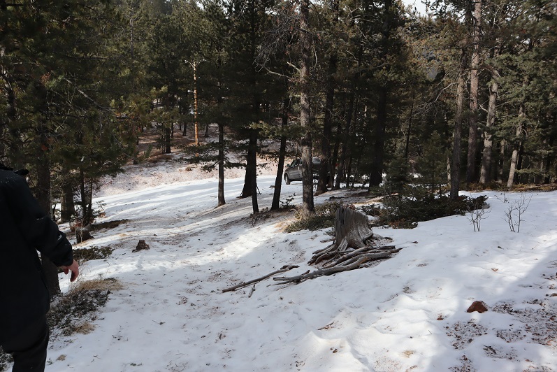
Our next peak was a little ways away, so after getting back to my truck we drove on Old Stage Road back the way we’d come and found a parking spot at the base of 10100.
10100
There was less snow here but we kept on our microspikes, not sure of what we’d encounter. The first part of this climb was steep and ascended through lots of brush and trees, both alive and dead

We angled slightly left up the mountain until we came to a rocky area. We rock hopped up the rocks
And came to rocks that were not climbable, so we skirted the formation to the left
And went up a small gully

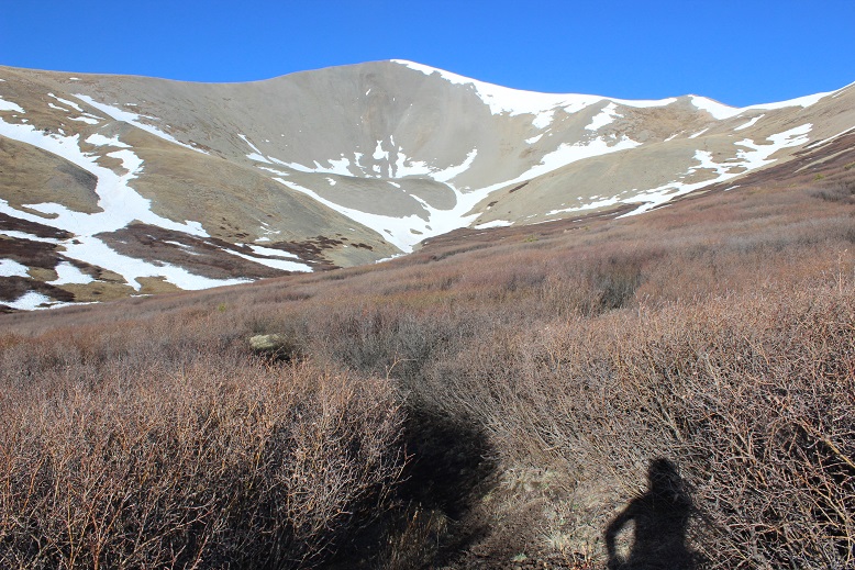
We turned left at the top of the gully and followed the ridge to what we thought was the highpoint, but was really a false summit. From here we could see the true summit of 10100, more to the north of us. We could also see increasing clouds.
It was a short hike over to the true summit. Here we found a summit register and Steffen signed it (I don’t usually sign them, but added my WW for good measure).

The wind picked up and snow flurries began, so we decided to head back to my truck. It was amazing how different the trail looked on the way back with no visual cues to help with route finding. On the way in I’d kept looking back at the mountains to remember how to exit, yet now the snow was so enveloping it covered our earlier tracks and I was unable to see any mountains.
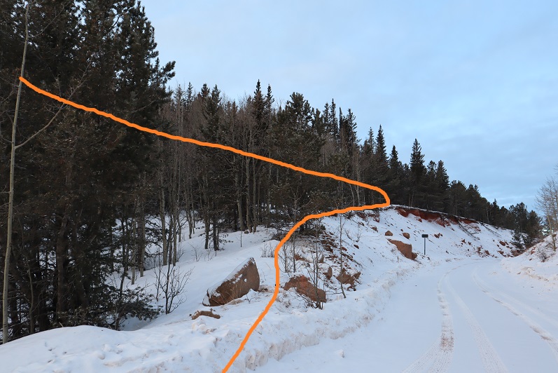
In the snow we had a little trouble finding the correct gully to descend, but eventually found it and made our way back to the road.
9410
With all this unexpected snow we debated our final peak of the day, but once we made it to the trailhead we decided to go for it. Peak 9410 is an easy hike on an established trail for 80% of the time, and a good introduction to easy route finding and peakbagging. We parked at the top of a hill at the trailhead for Gray Back Peak and headed southeast on a scree and snow filled trail.
This trail quickly became snow packed, but there was a nice trench to follow

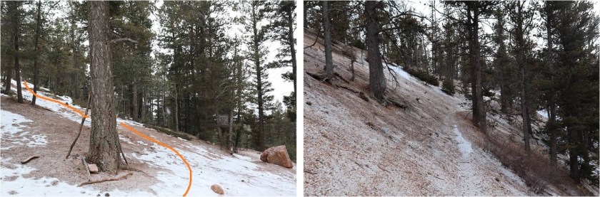
We hiked it up past point 9153 and descended a bit, losing about 150 feet in elevation before regaining it and reaching the top of a hill. The trail continues south here towards Gray Back Peak, but we found this marker on a tree and left the trail, heading east.

Every so often we’d see a cairn or surveyors tape, letting us know we were on the right track. We headed east and once we reached the ridge northwest towards the summit
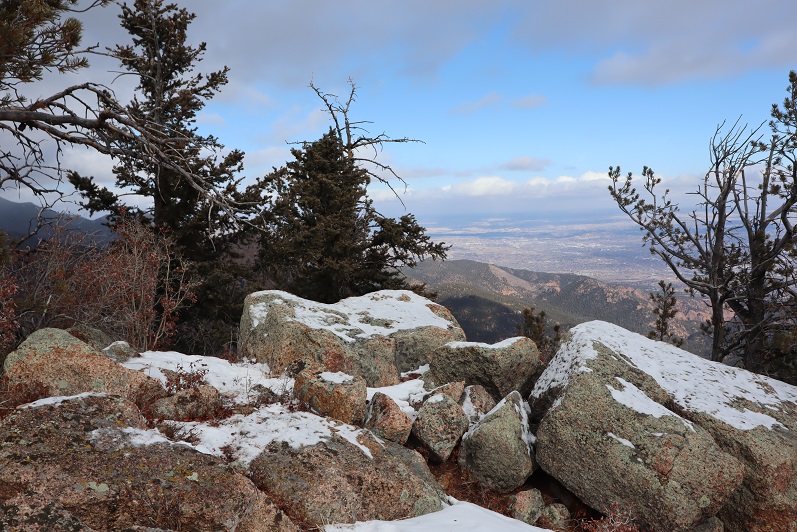
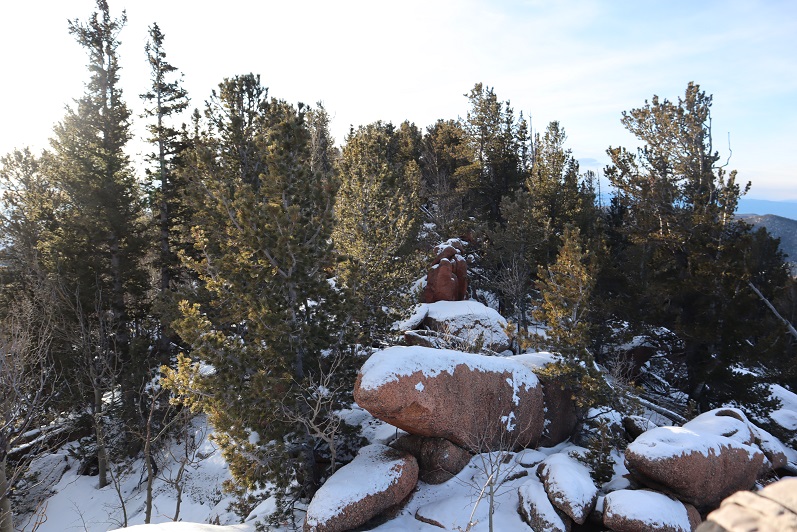
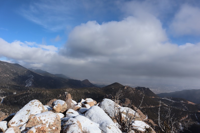
Once again, the summit views weren’t all that great due to the snow/clouds, but the short trek had totally been worth it.

We found a summit register but didn’t bother to sign it
And instead headed back down the mountain
And back to the truck
We made it back to my truck at 2:30pm, making this a 10 mile hike with 4094’ of elevation gain in 7 hours, with a couple of trailhead drives in the middle.

But those numbers are debatable. Steffen’s numbers were drastically different than mine. We both used Strava to track our progress, and hiked the entire time together, yet his elevation gain read in the 5000’ range, while mine was in the low 4000’. That doesn’t make a lot of sense. Our mileage was off too, making me wonder what’s up with the disparities. Have my numbers been artificially low, or are his high?