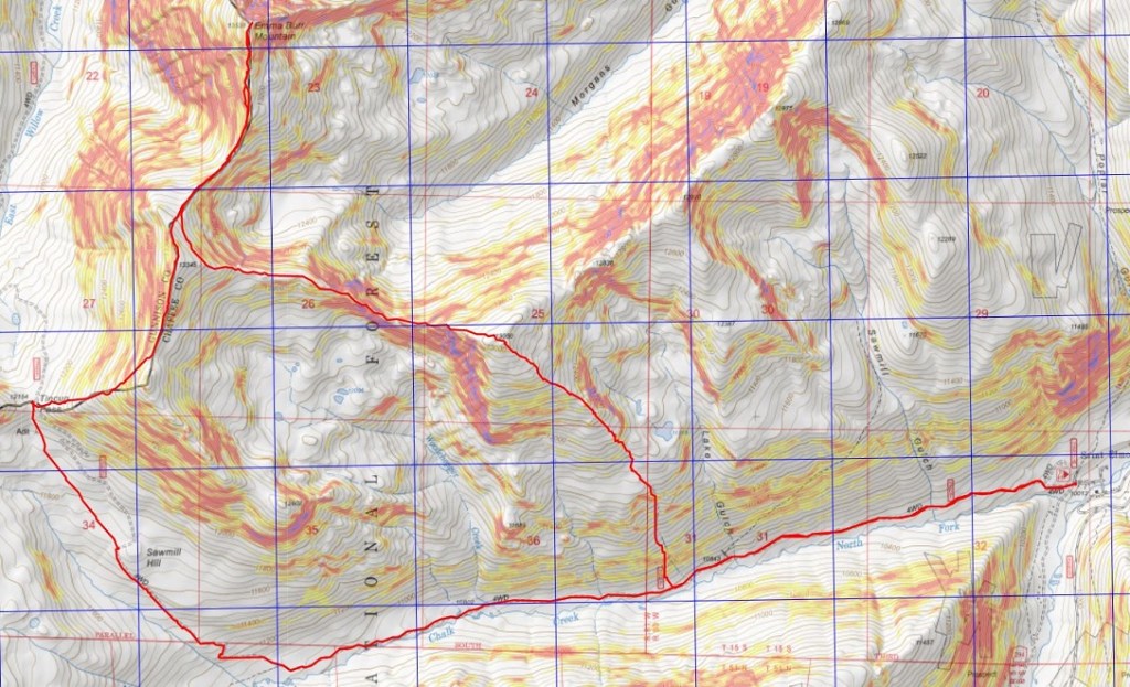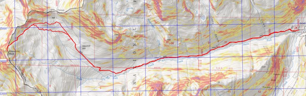
RT Length: 15.94 miles
Elevation Gain: 4888’
This was my third attempt at Emma Burr Mountain. The first two times I turned back due to wind, but today the forecast kept wind speeds around 15mph, so I tried again. I was in this area last week, and the approach conditions are still the same, so I’m just copying and pasting for efficiency purposes.
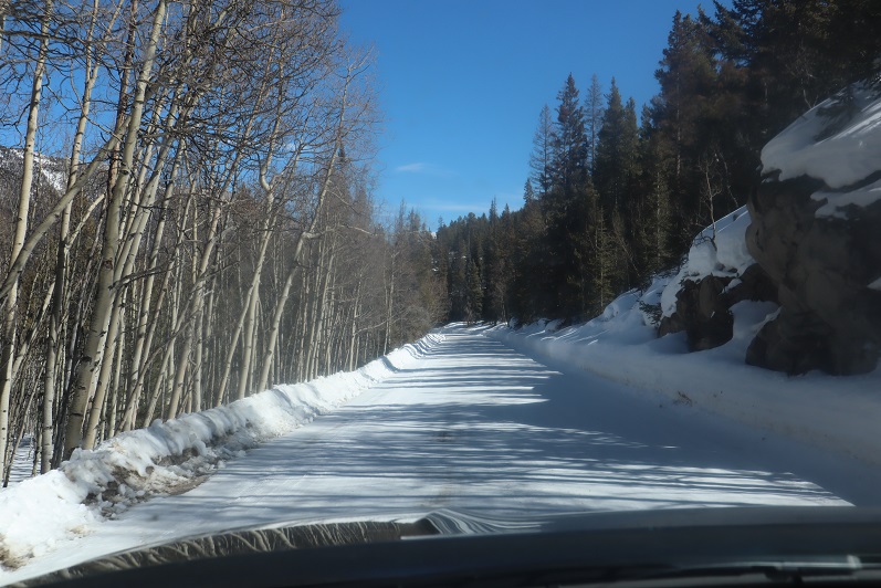
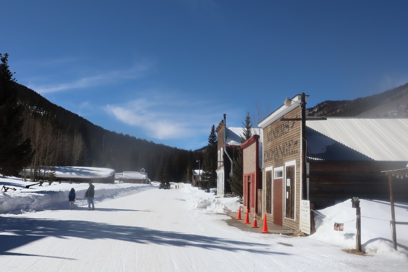
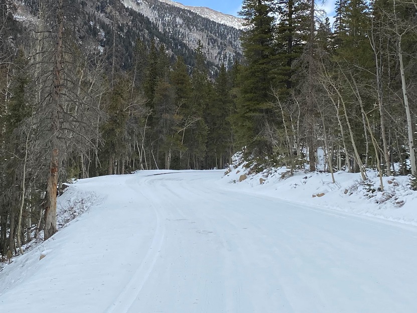
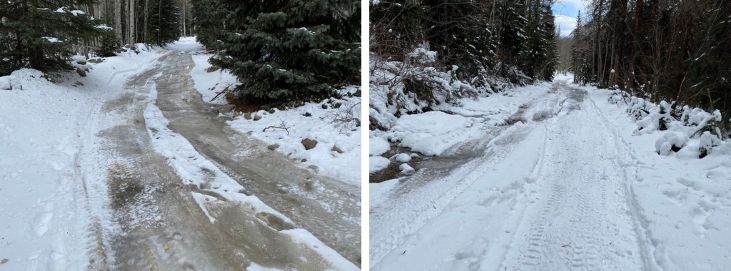
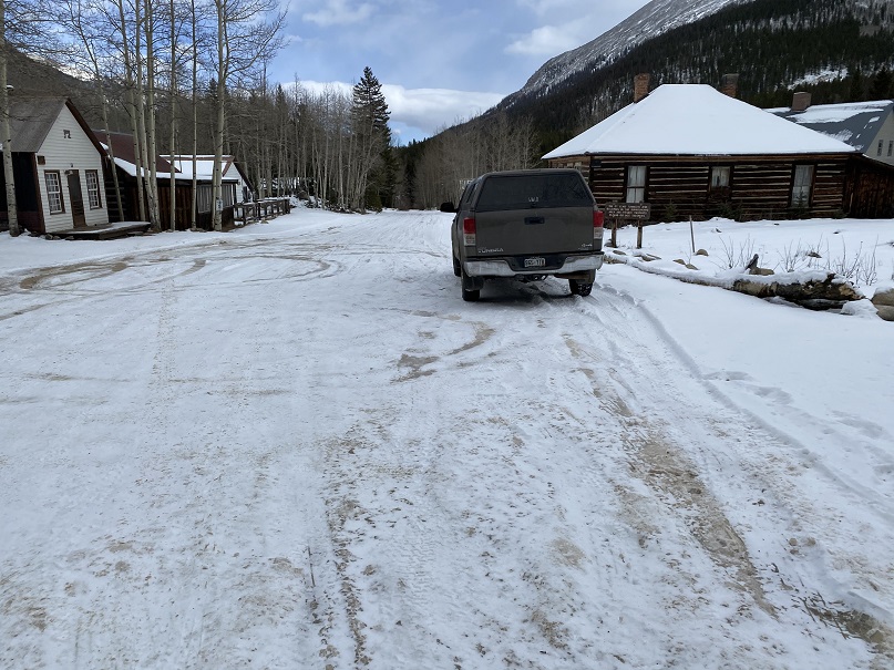
The drive in to St Elmo was icy but doable in a 2wd
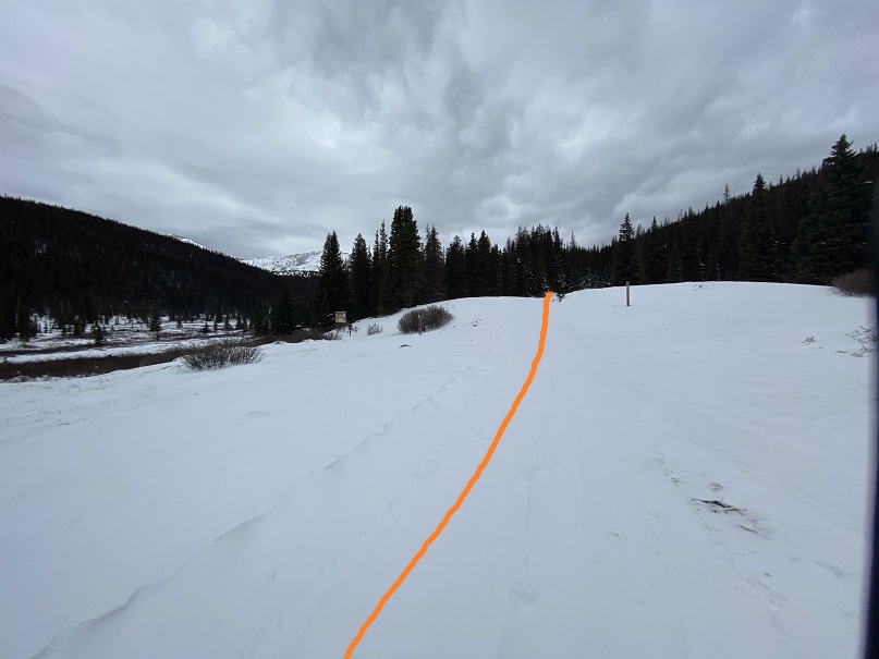
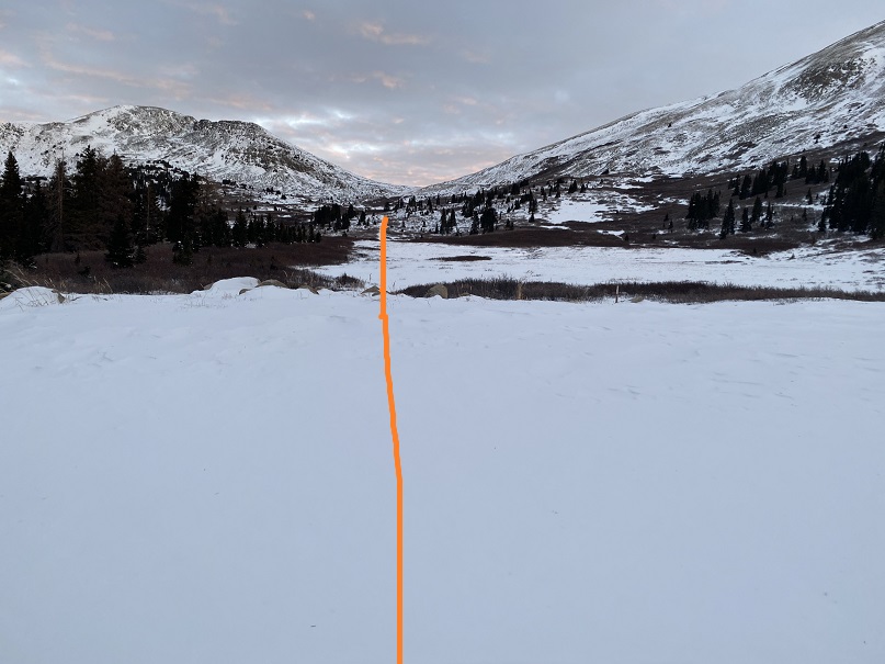
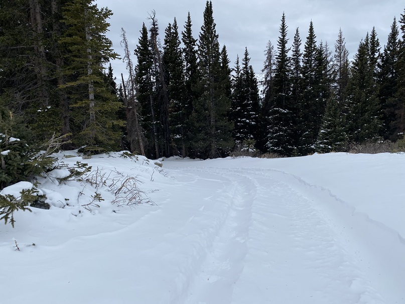
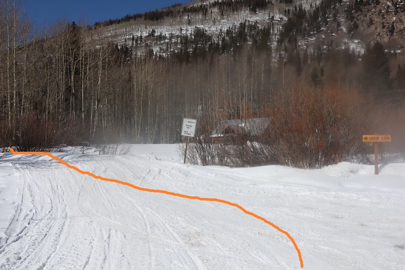
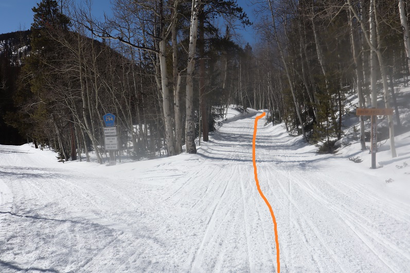
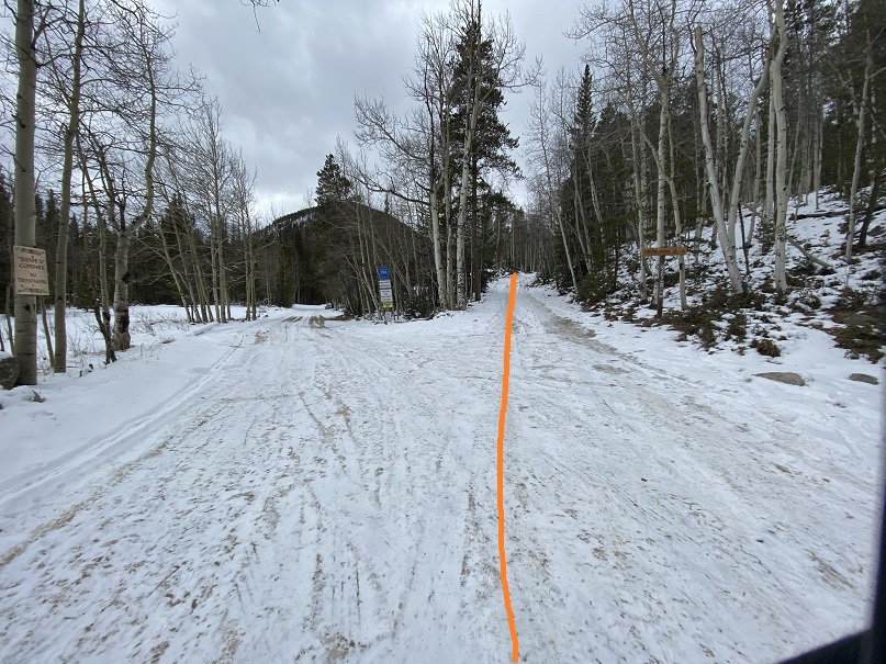
I was on the trail at 4:00am. The trail starts out following Trail/Road 267 west
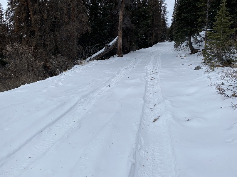
This road goes all the way to Tincup Pass, and by the looks of it, a 4WD vehicle had driven the entire way recently. High five to this individual, as they have some serious chutzpah. I was glad I’d parked below however, as I wasn’t sure how my truck would have done on the ice.
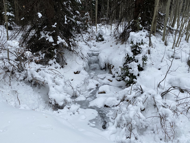
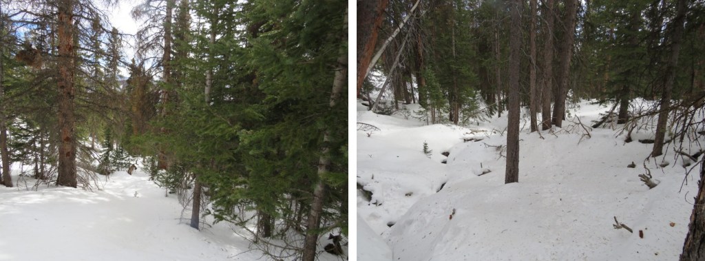
This trail parallels North Fork Chalk Creek.
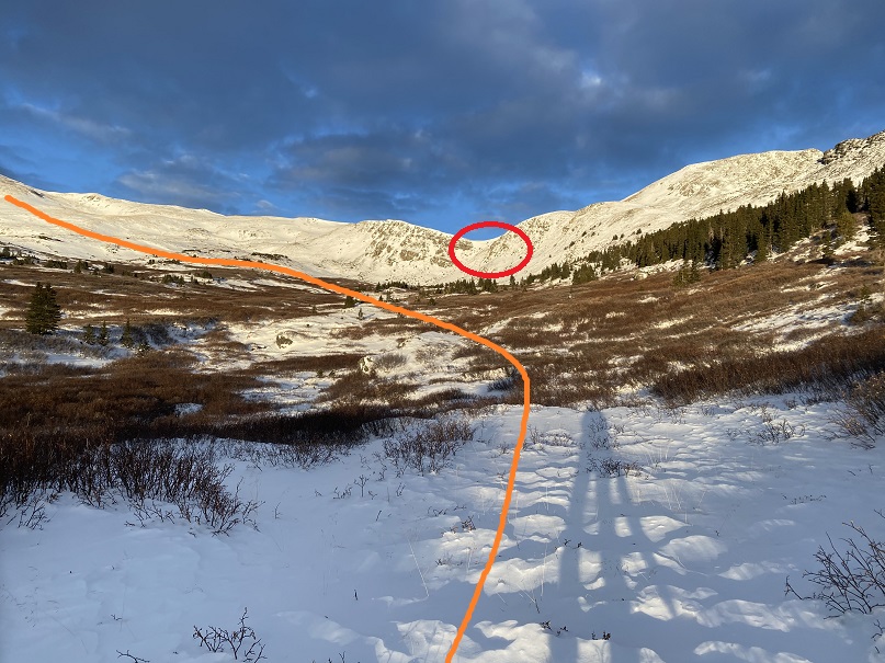
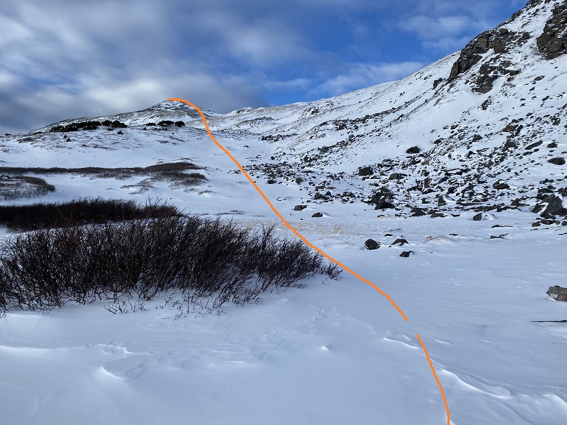
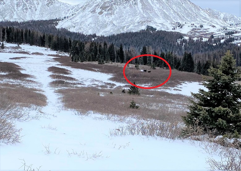
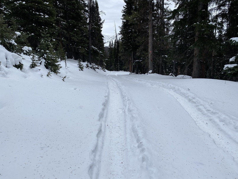
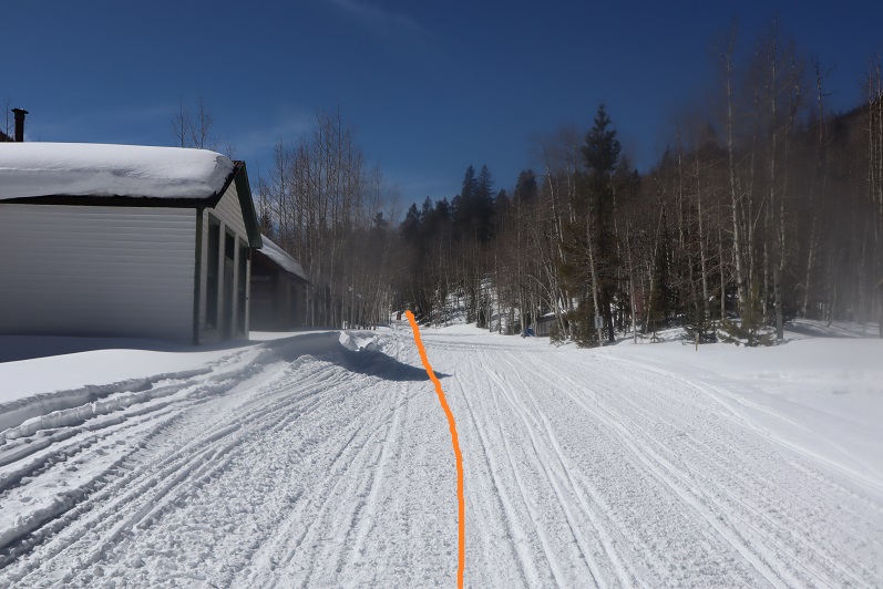
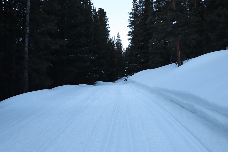
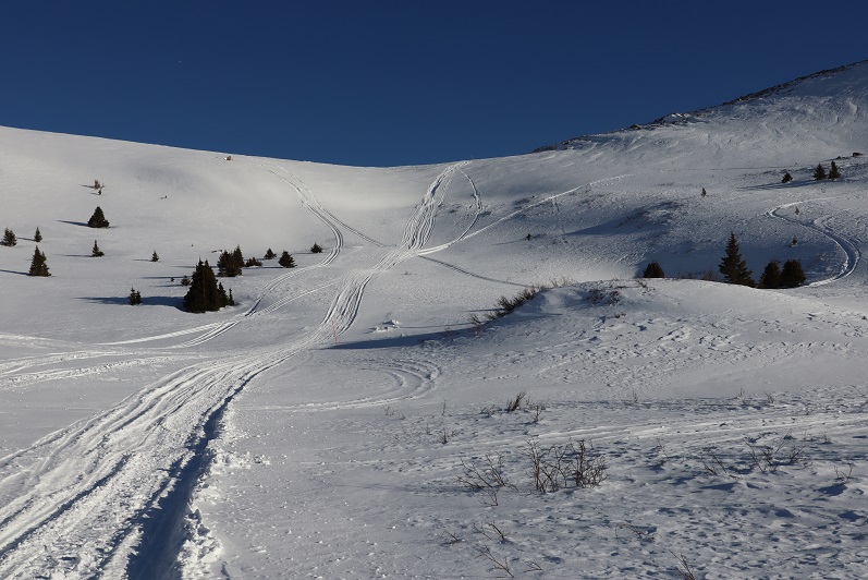
I followed the road for 5.15 miles, staying right here to stay on the road. As I hiked, I saw quite a few moose tracks. It looked like a mama and baby were in the area, so I was on the lookout. I saw tire tracks, but no human footprints.

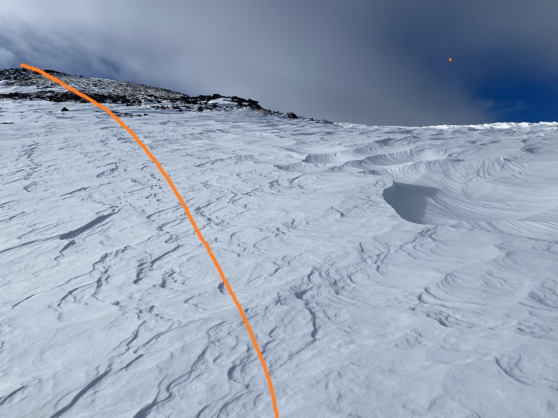
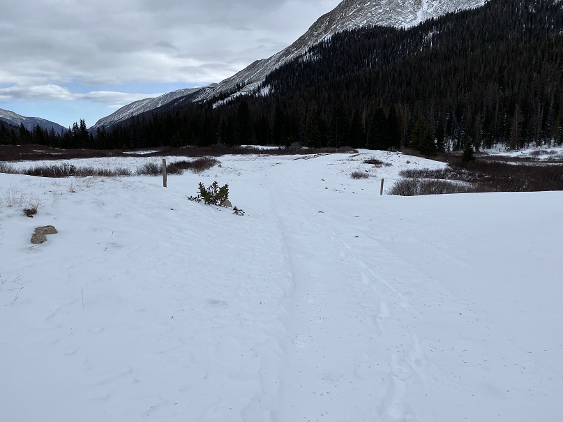
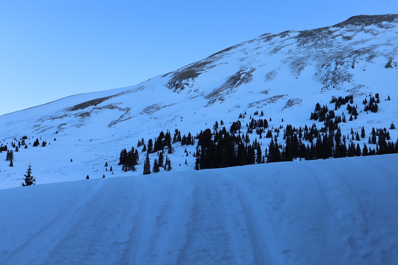
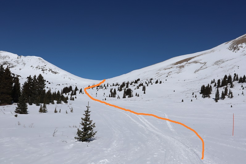
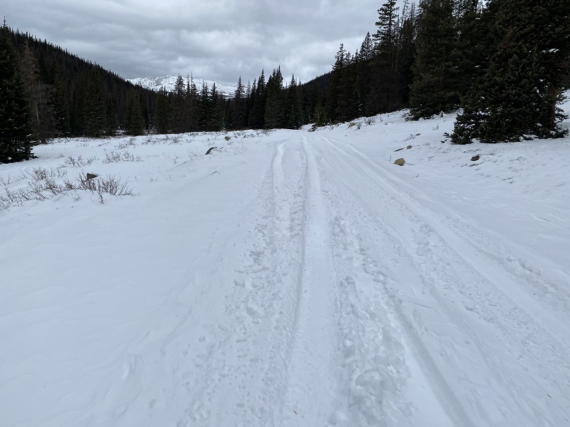
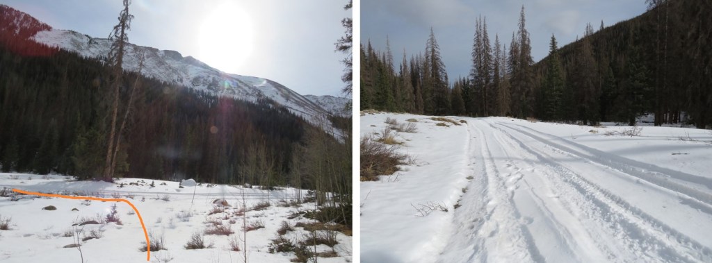
After hiking for just over 5 miles I made it to the upper basin. Just as with last week, here the tire tracks stopped. I donned my snowshoes and made my way northwest to Tincup Pass. I also noticed the snowshoe tracks I’d made last week were gone, and unfortunately, no moose sightings this time.

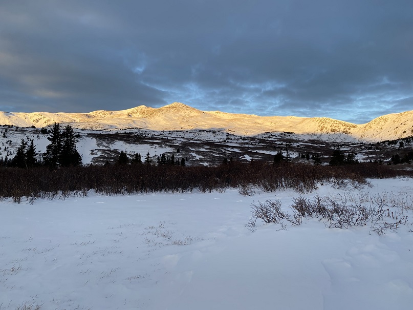
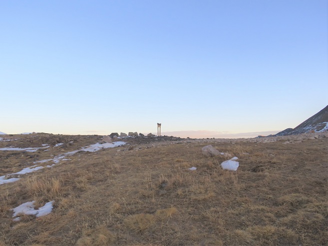
Once at the pass I got the picture I’d wanted but forewent last week due to the weather. My son and his Boy Scout Troop always had an annual campout here, with a corresponding picture with this sign. He’ll get a kick out of seeing the snow in this picture. The sun was starting to rise.

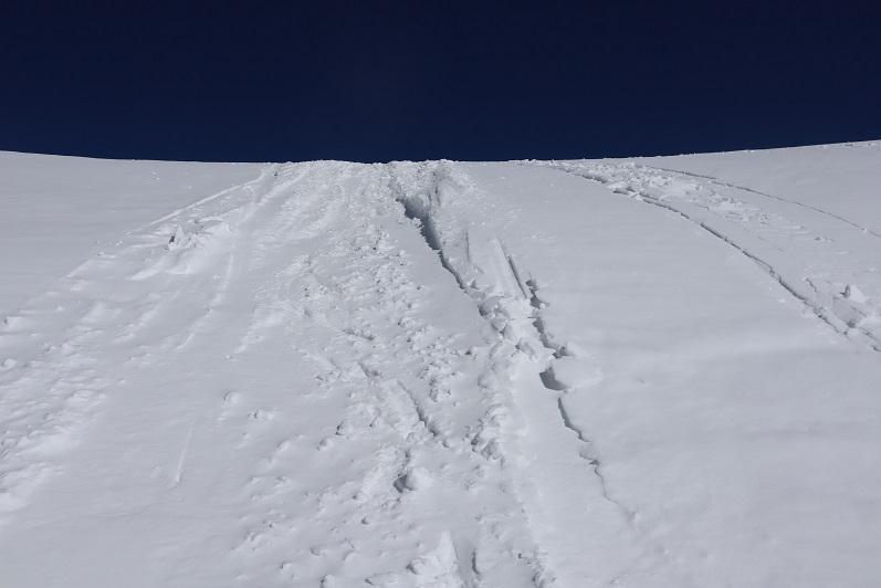
Here I took off my snowshoes and turned around, heading east up the side of the mountain
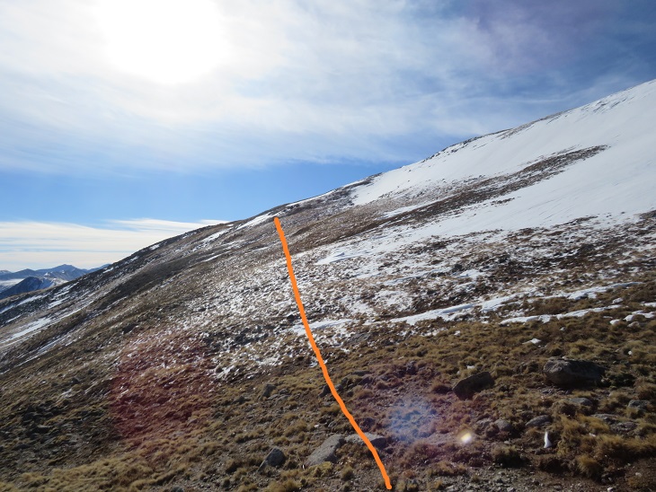
This was a much easier hike than I remembered from the last time I was here. I was pleasantly surprised the wind wasn’t more intense. Microspikes were overkill here, but once I put them on I rarely take them off because doing so would require me to take off my gloves, and I can’t recover from that type of cold, especially if there’s wind. There was a faint trail here that eventually disappeared.
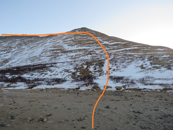
Before gaining the ridge I kept to the left, traveling northeast.
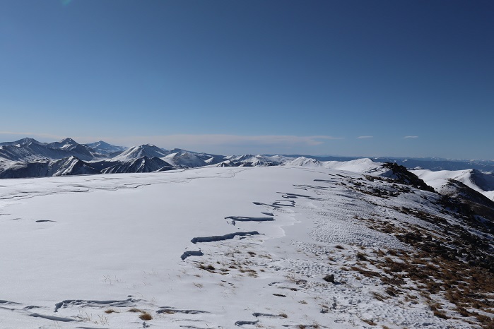
Here’s a look back at Tincup Pass
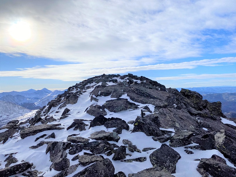
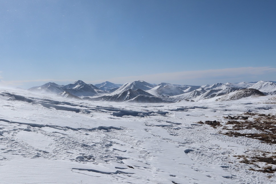
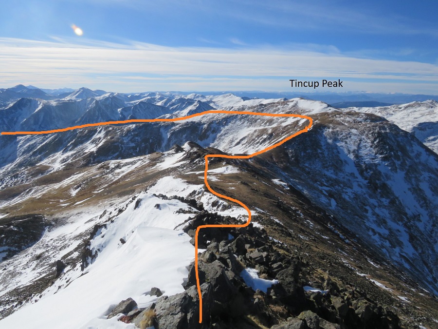
Once on the ridge I followed it to the summit. This is also where the wind picked up. I put on my balaclava and followed the ridge. The ridge is long, and there’s a false summit here.
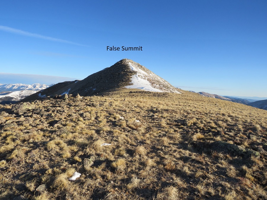
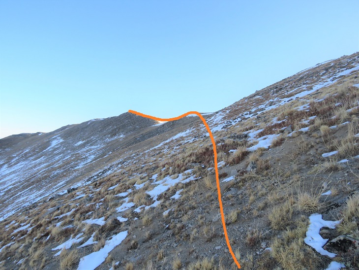
Once at the top of the false summit the true summit was clear.

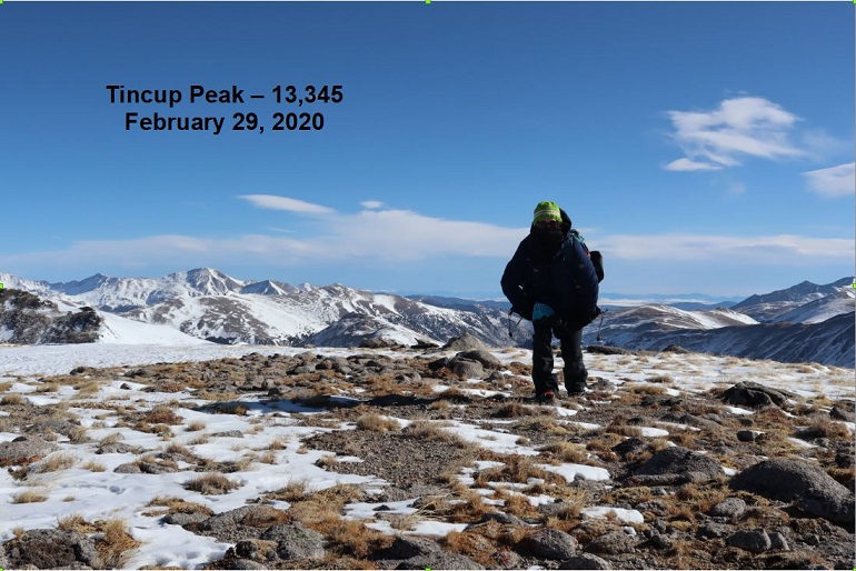
I made it to the summit of Tincup Peak at 8:21am.
Tincup Peak:
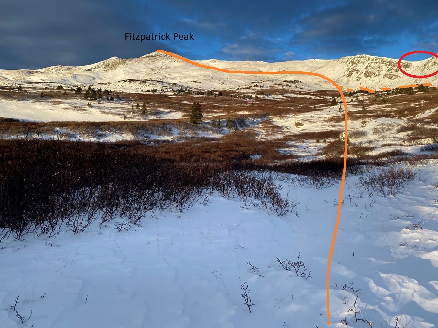
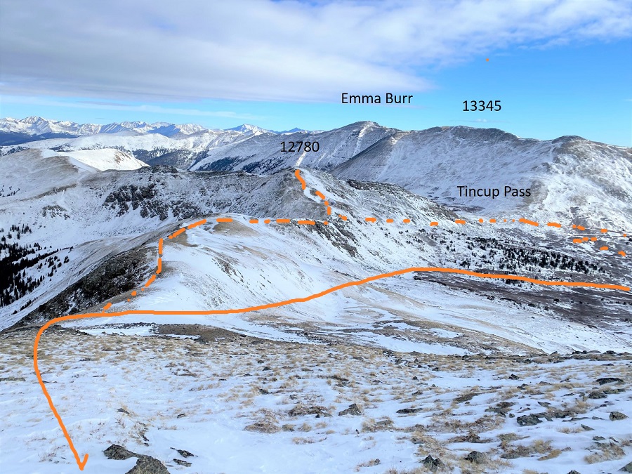
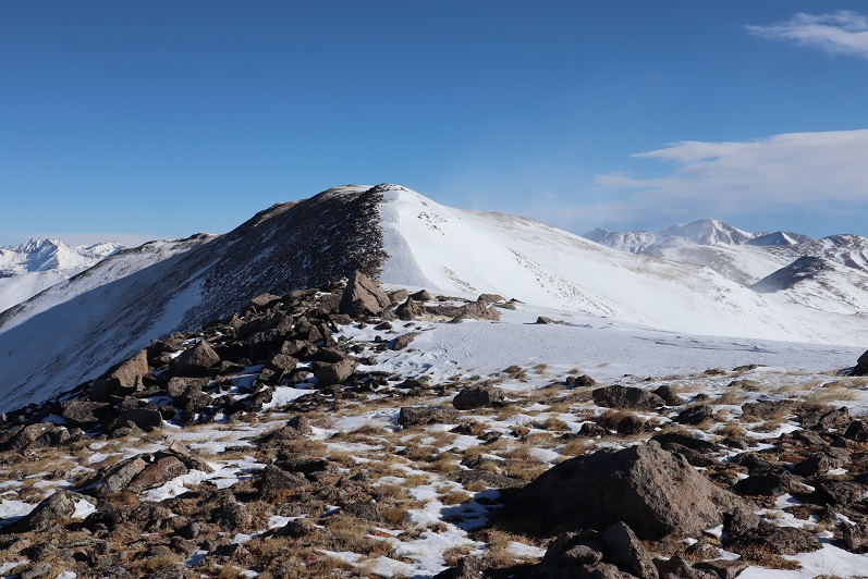
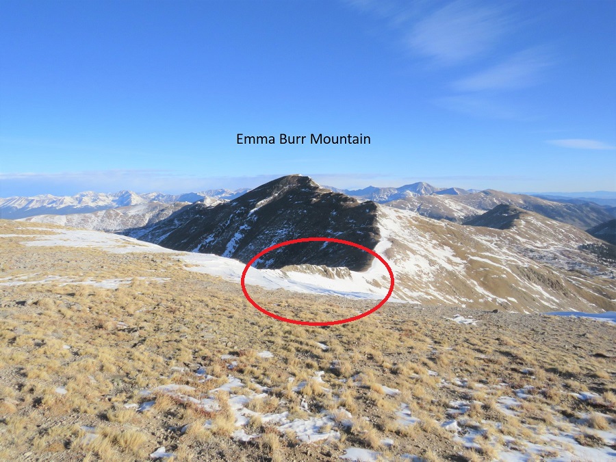
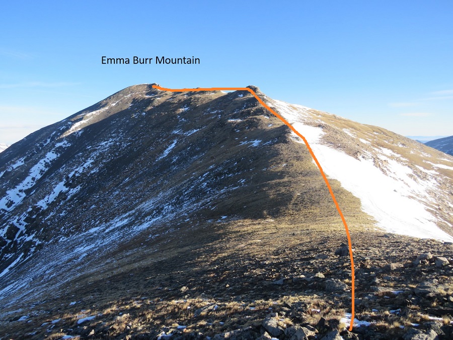
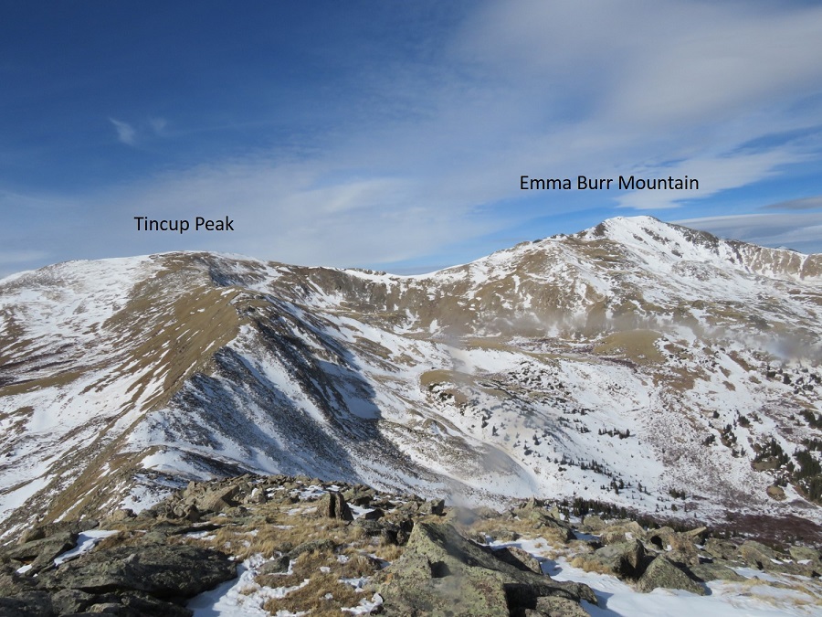
I’d already summited Tincup Peak previously: My real goal today was Emma Burr Mountain, which can be seen to the north.

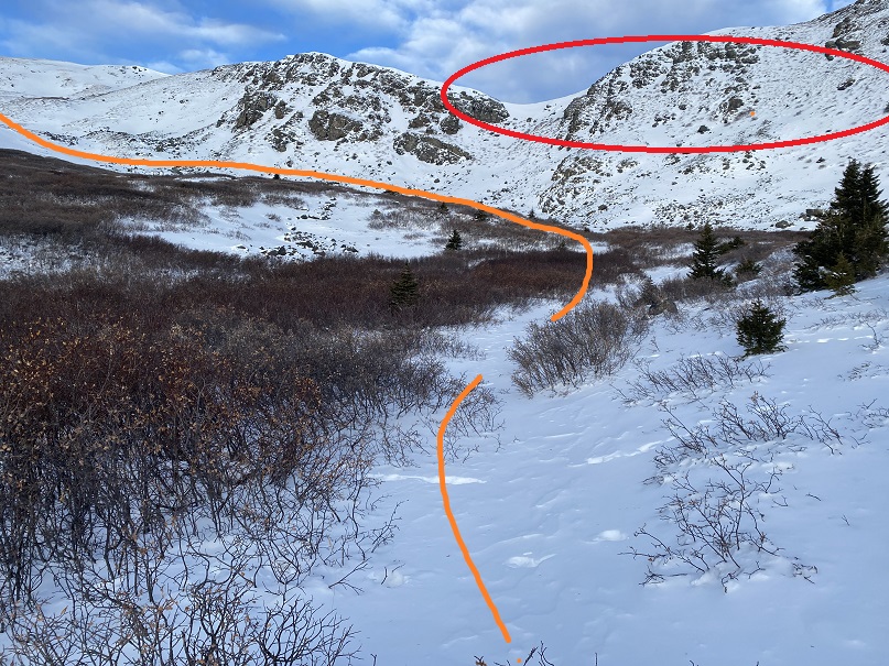
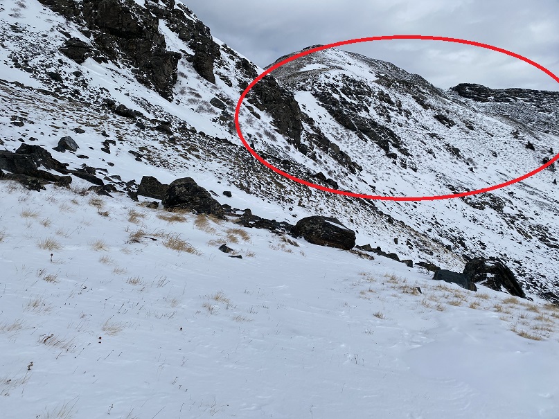
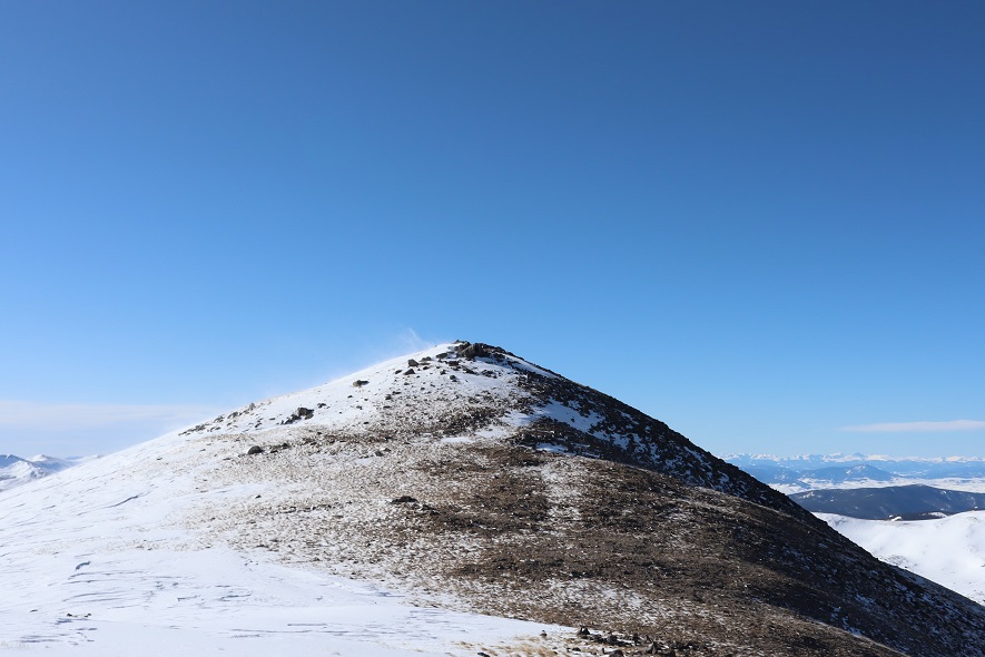
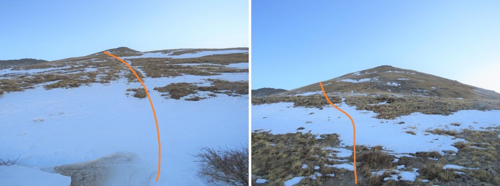
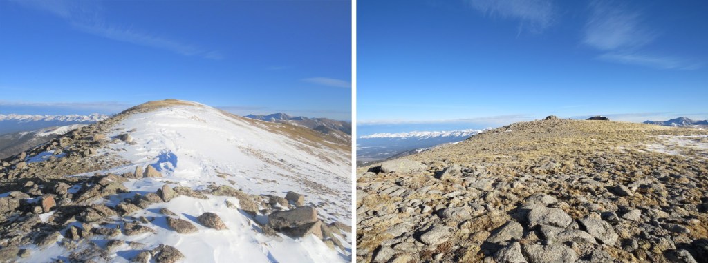
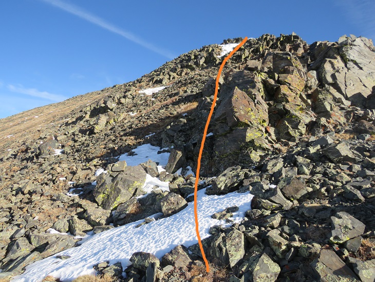
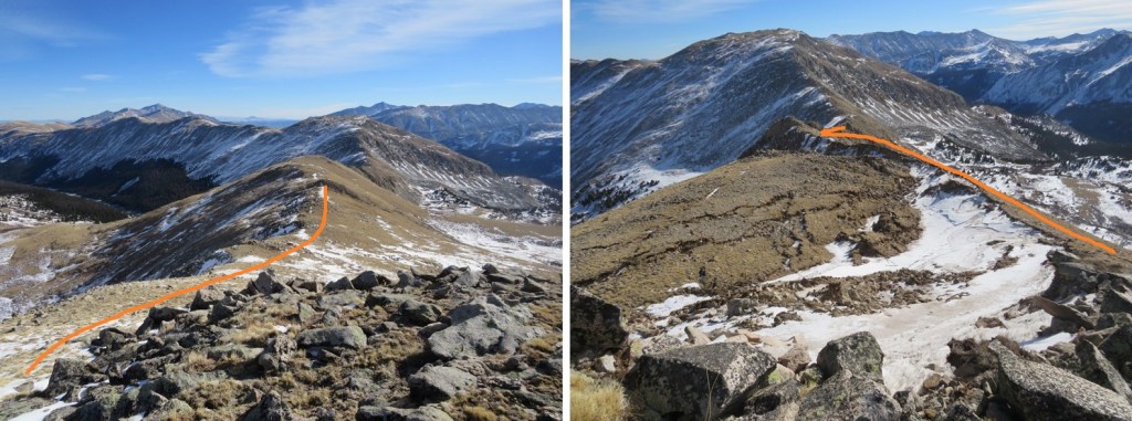
The trek over to Emma Burr looked more difficult than it was. I was especially worried when I saw this part of the ridge
As it turns out, I was worrying about nothing, as there isn’t a dropoff on the left side of the ridge. This was a class 2 hike all the way to the summit. I stayed directly on the ridge.
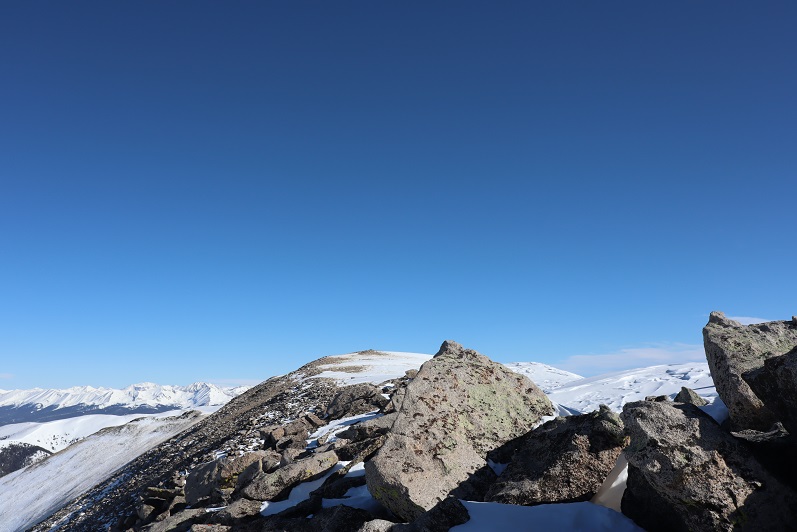
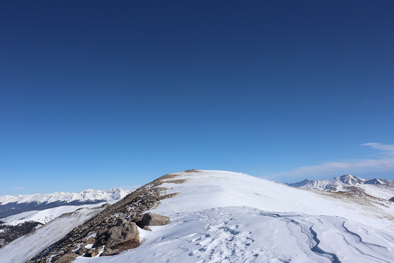
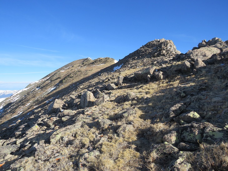
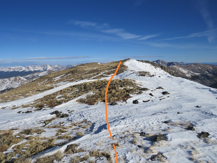
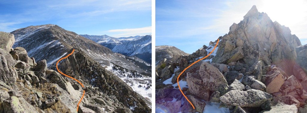
Here are some step by step visuals of the ridge to Emma Burr. You can stay low here or go high. Both are class 2

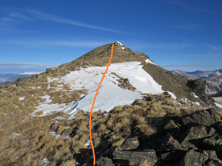
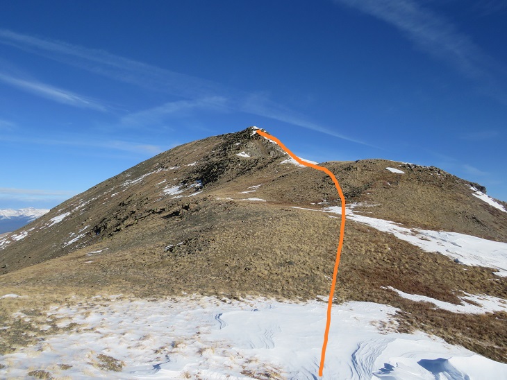

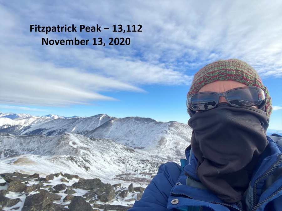
I summited Emma Burr Mountain at 9:22am
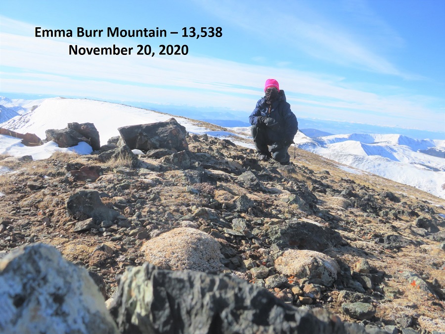
Emma Burr Mountain:
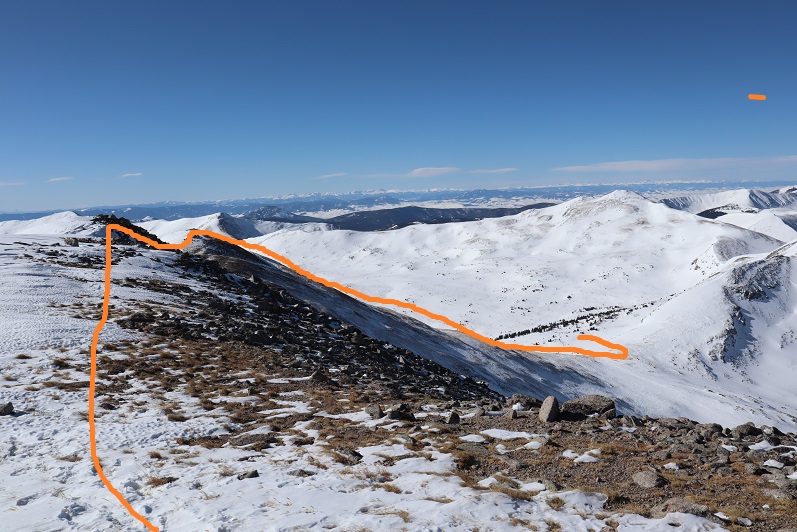
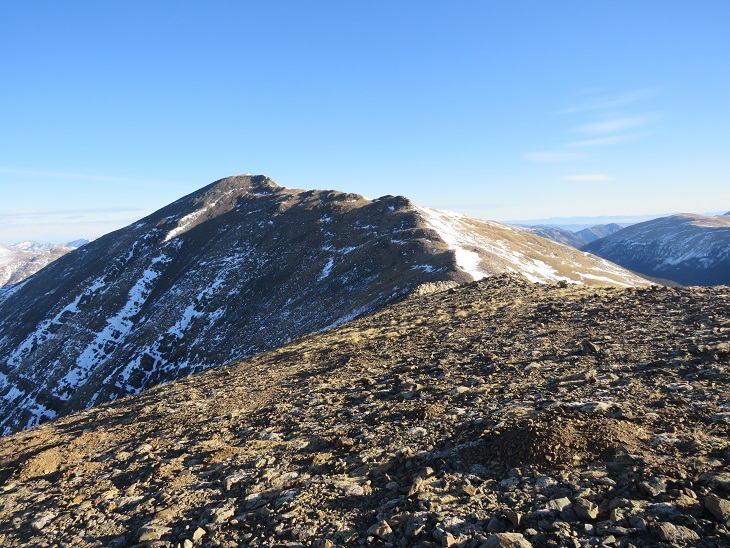
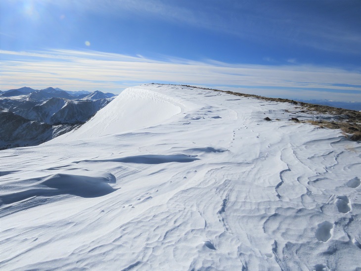
It was quite windy, so I didn’t stay on the summit long. Instead, I turned and headed back the way I’d come, towards Tincup Peak. Heading south now I had a great view of a cornice forming on Emma Burr
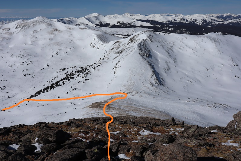
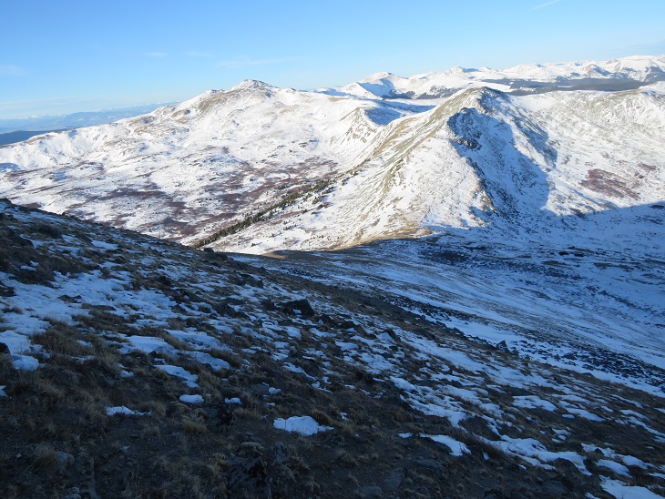
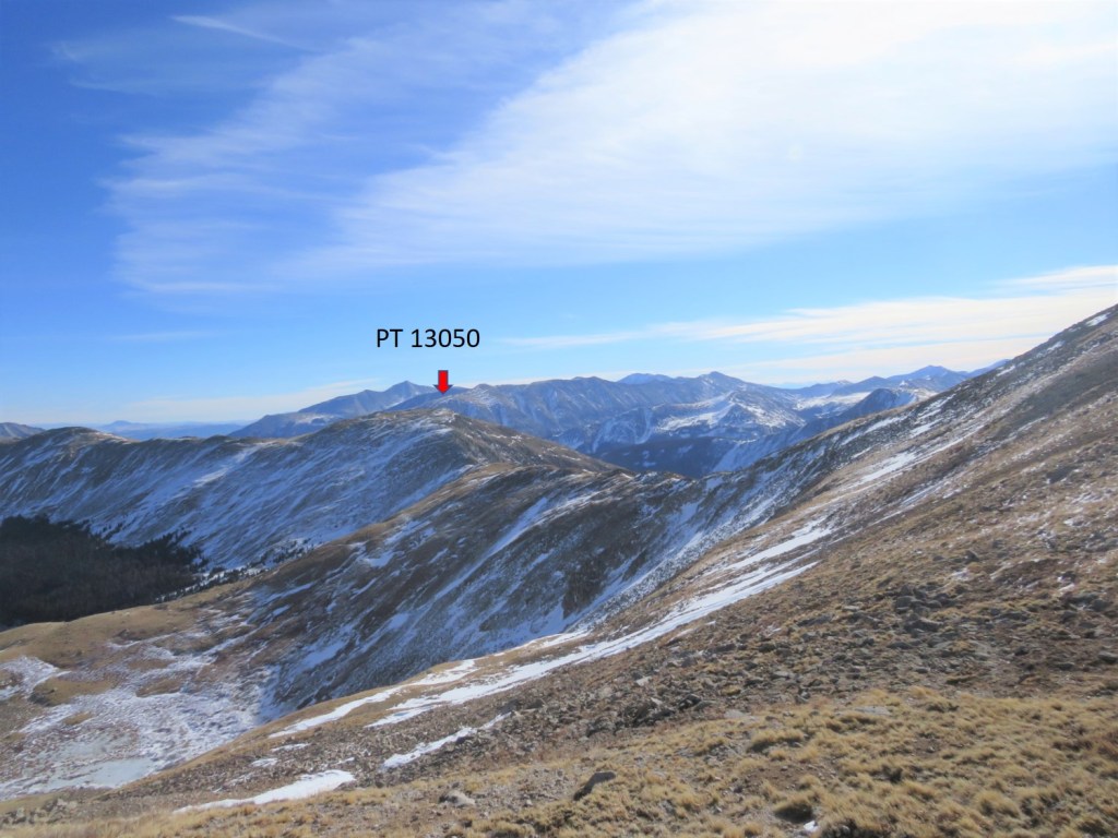
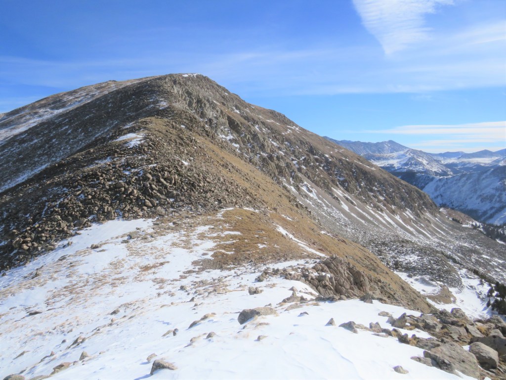
The day was still young and the forecasted snow hadn’t materialized, so I decided to make this a loop and head over to PT 13050. Here’s an overall view of my route to the ridge. I didn’t re-summit Tincup, but instead stayed just below snowline

I traversed Tincup’s east slope to the ridge. Here the wind stopped and it was getting warm, so I was able to take my balaclava off.
Once on the ridge I followed it east.
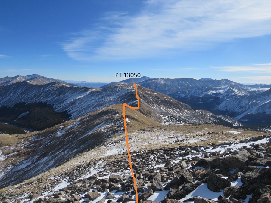
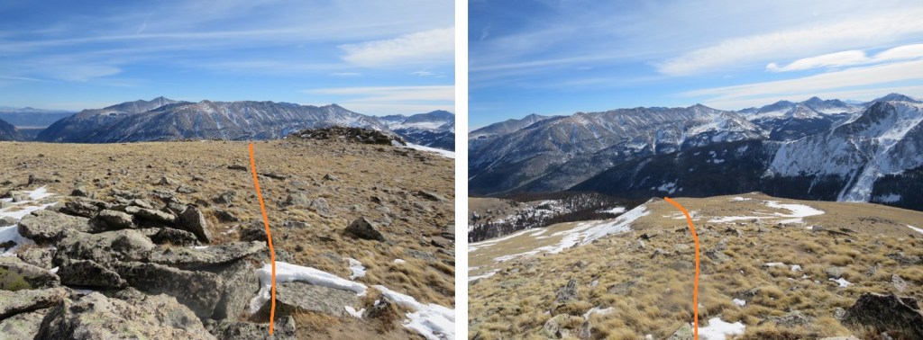
There were times I was worried I’d cliff out (I didn’t have much beta on this peak), but if you stay to the right this stays a class 2 hike. I lost 660’ of elevation as I hiked east towards the Tincup/13050 saddle. There’s a gaping hole on the ridge here (I skirted it to the right)
The trickiest part of this ridge comes just before the saddle/lowest point. This is the only area I went left instead of right.
From the saddle it was an easy ridge hike to the summit. I gained about 500’ here

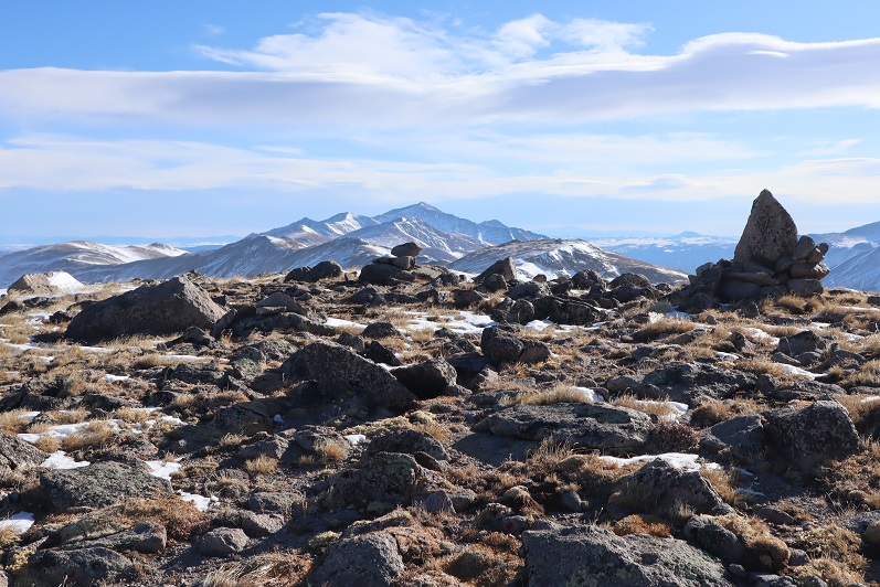
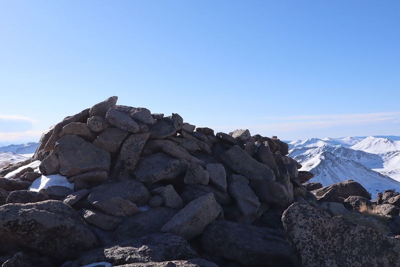
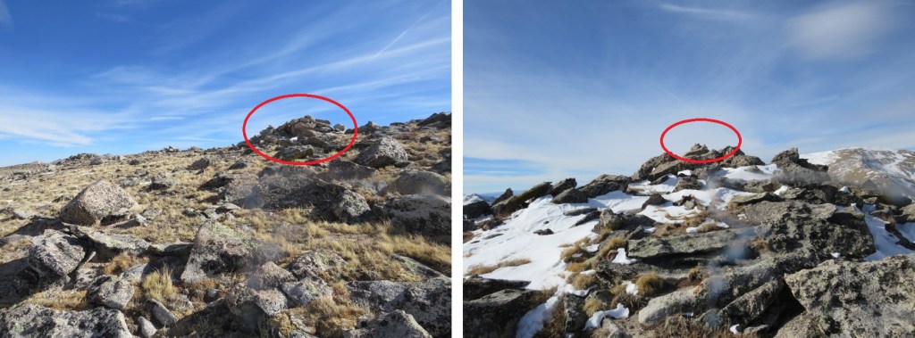
I knew I was at the summit when I found this cairn (it’s difficult to tell where the exact summit is for this peak, so I went with the cairn, but walked all over the summit).
I summited PT 13050 at 11:40am
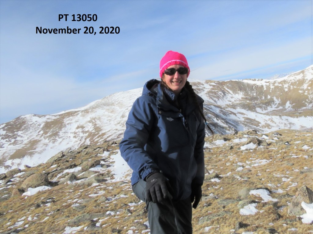
PT 13050:
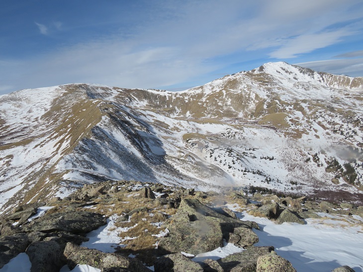
Here’s a look back on the route from Tincup Peak/Emma Burr Mountain
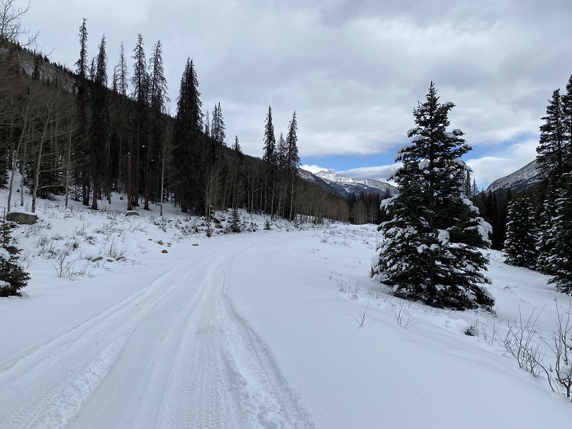
I was making this a loop, eventually making my way back to the 4WD road I’d hiked in on. So, I continued heading east
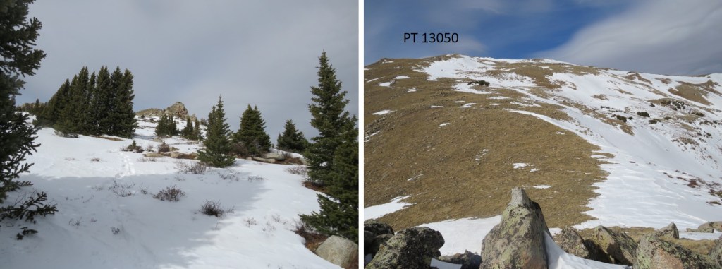
I followed the mountainside east, went right around this rock outcropping, and then headed for the trees

Here’s looking back
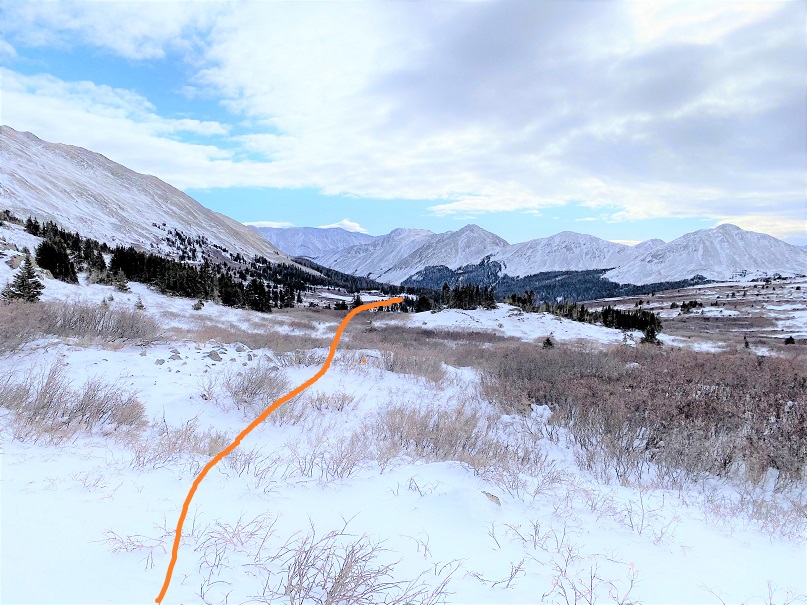
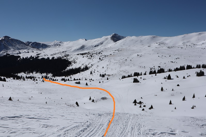
At this point I put on my snowshoes and aimed southeast, heading towards the 4WD road. Once in the trees I found a drainage and followed that down. This would not be fun to do in reverse.
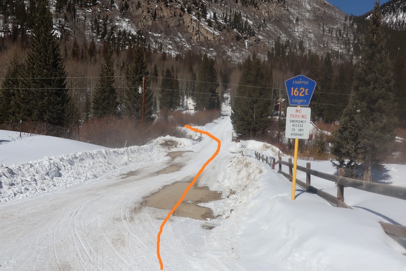
The snow lessened just before making it to the road. If you were to do this hike in reverse, the spot I exited was just over 2 miles from where I’d parked.

Once o the road, I followed it back to my truck, parked on the west side of St Elmo.
I made it back to my truck at 1:40pm, making this a 15.94 mile hike with 4888’ in elevation gain in 9 hours, 30 minutes. As a side note, I saw a ‘no parking’ sign on this side of the road this time (it must have been covered in snow last week), so I’d advice you to park before entering St Elmo and hike through town to start this hike.