Tuckaway Mountain – 10,820

1
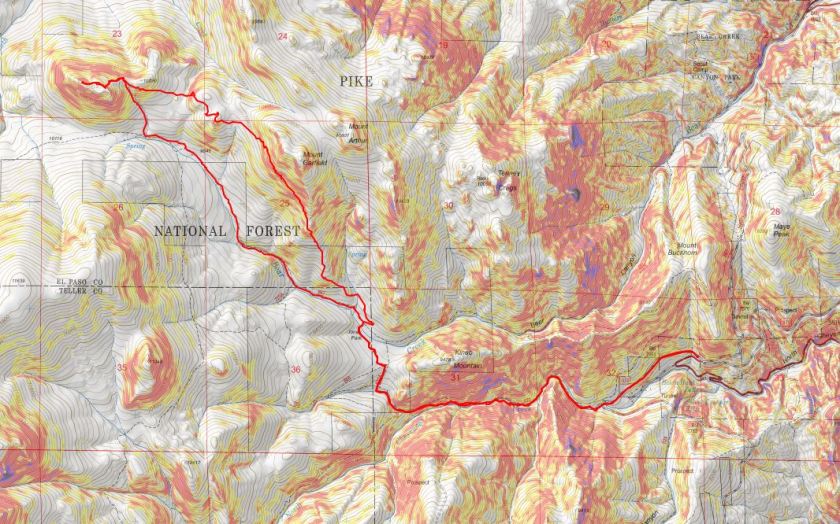
RT Length: 12.5 miles
Elevation Gain: 4220’
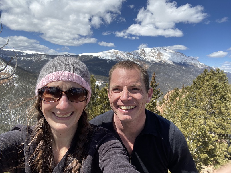
Partner: Steffen

Third time’s a charm! For so many reasons…

I’ve attempted this peak on 2 other occasions. One time a few years ago I thought I’d summited (more on that later) and last week I turned around due to deteriorating snow conditions. Today I’m glad to say I had a successful summit!

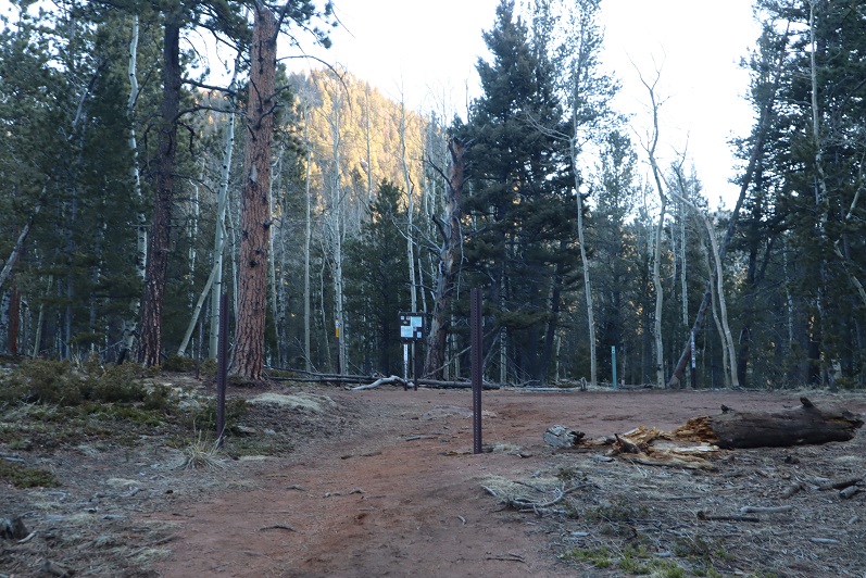
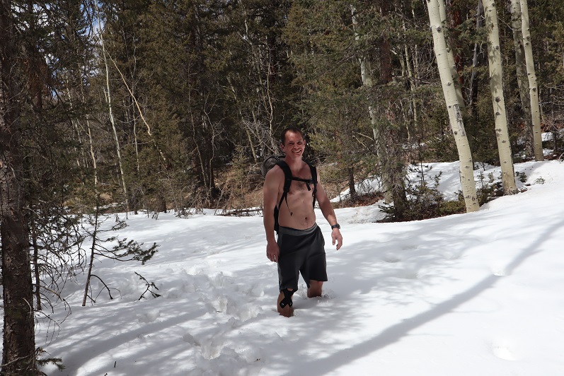
I drove to Steffen’s house at 4:30am and we made it to the North Cheyenne Mountain gate by 5am, but unfortunately, the gate was locked. I guess it didn’t open until 6am? Oh well, we had a plan B, so we drive down Old Stage road for about 45 minutes, intent on Frosty’s Park and hiking Mt Rosa or Almaghre (or both). About 5 minutes from making it to the trailhead Steffen realized he’d forgotten his hiking boots. Drat! We would have to drive back and get them. As I said, third times a charm, and we arrived at the (now open) North Cheyenne Canyon Trailhead at 7am and were on the trail by 7:20am. It was already light out and I had serious doubts we’d summit today due to warm snow, but at least we’d get in a good hike.

2
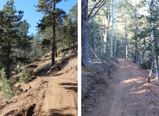
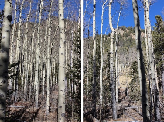
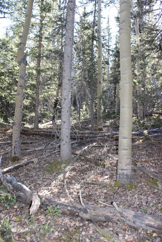
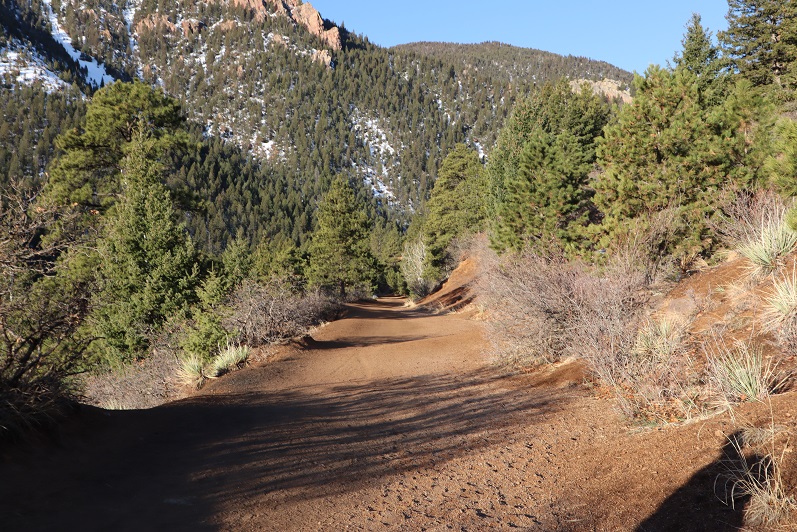
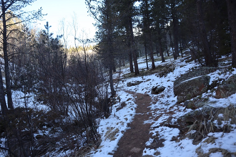
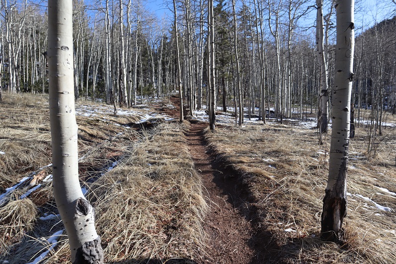
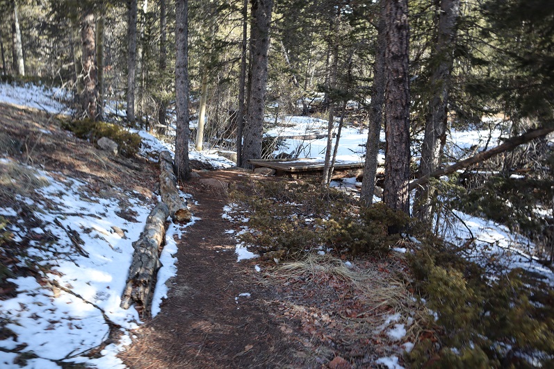
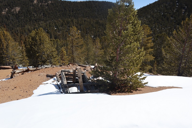
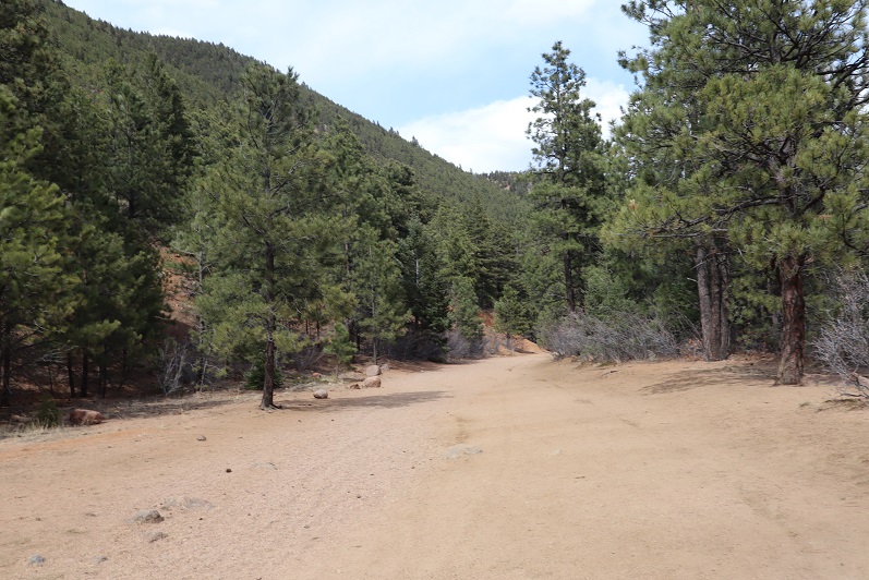
We wore our microspikes the entire way, even though they weren’t always needed. I’ve done this hike several times, so I won’t go into a detailed description of the route to Loud’s Cabin, but you can find it here

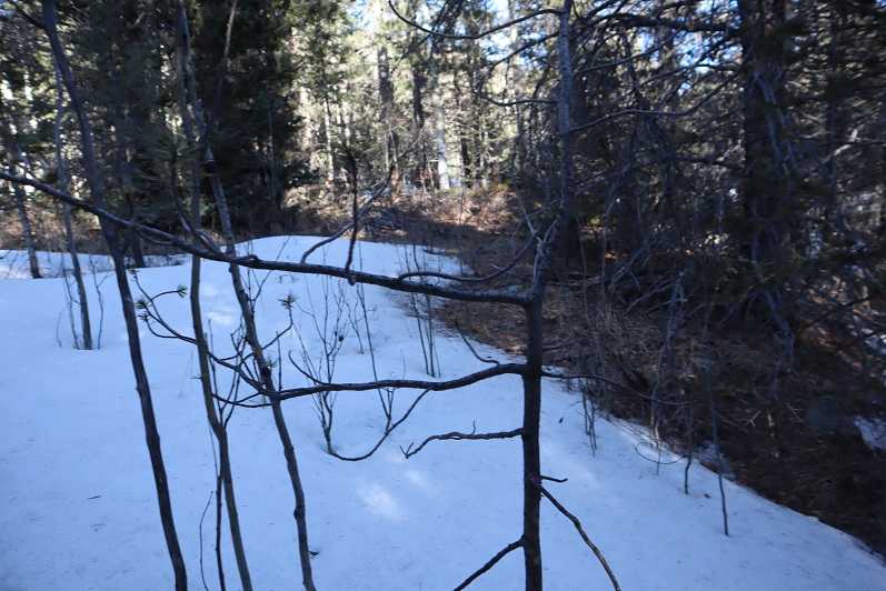
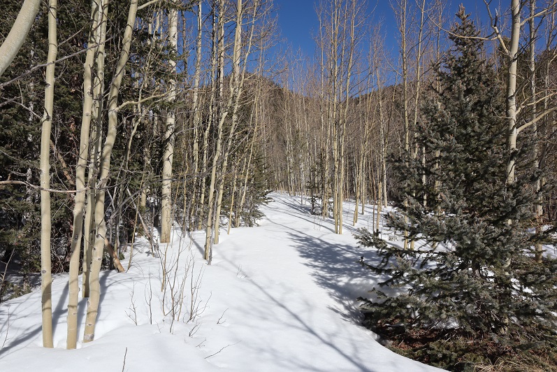
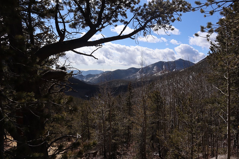
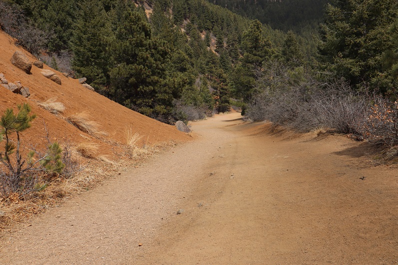
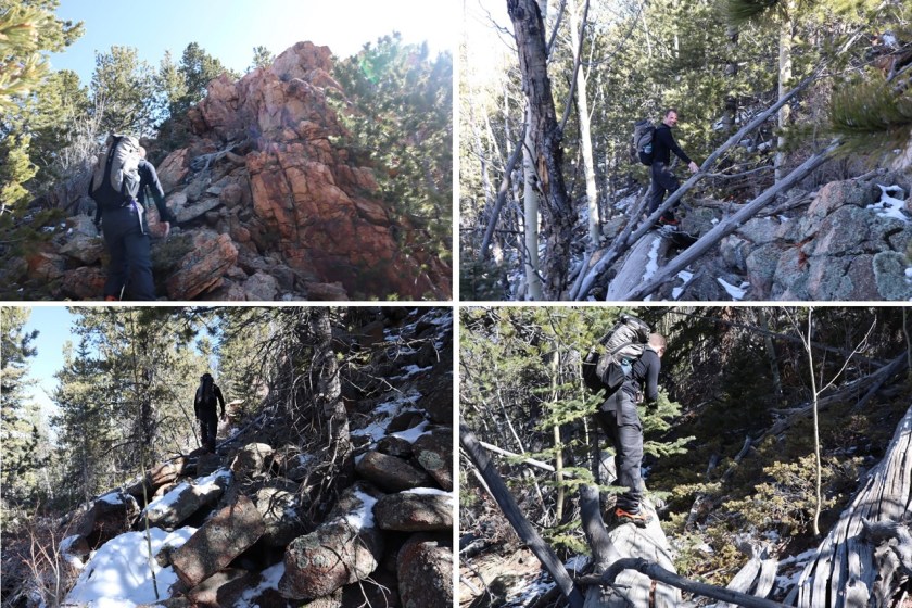
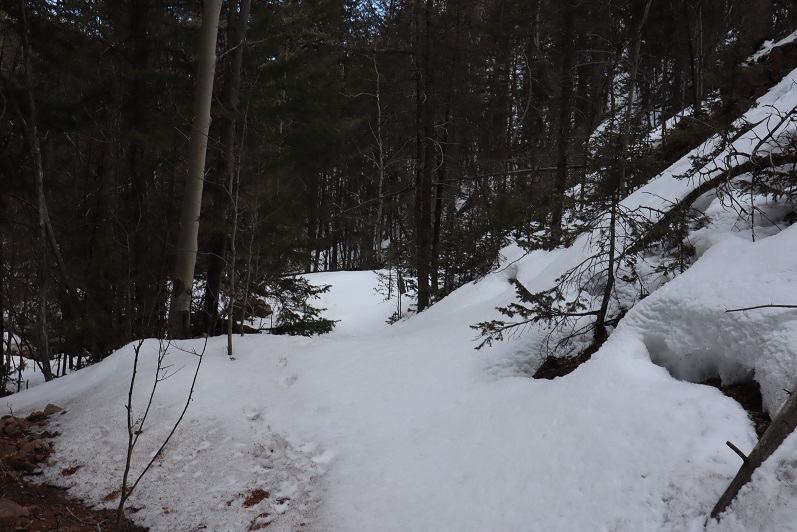
I basically took the 7 Bridges Trail (622) to 677 to 622A to Loud’s Cabin. Here are the pictures:

3

4

5

6

7

8

9

10

11

12

13

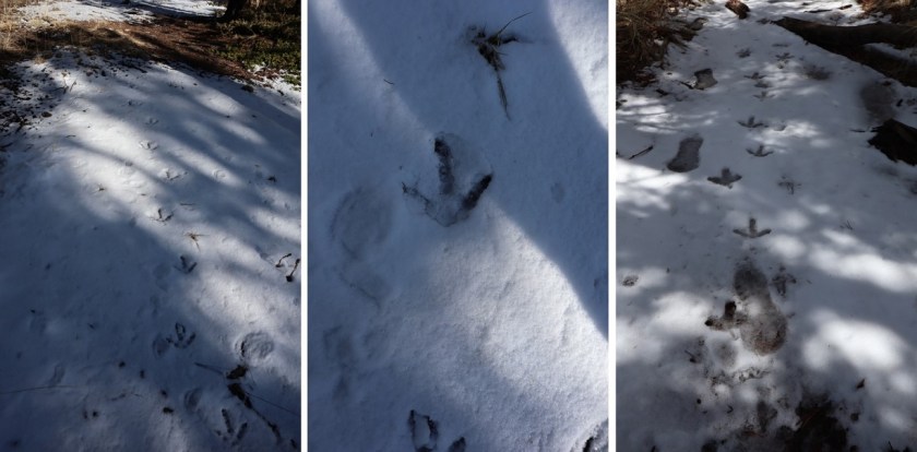
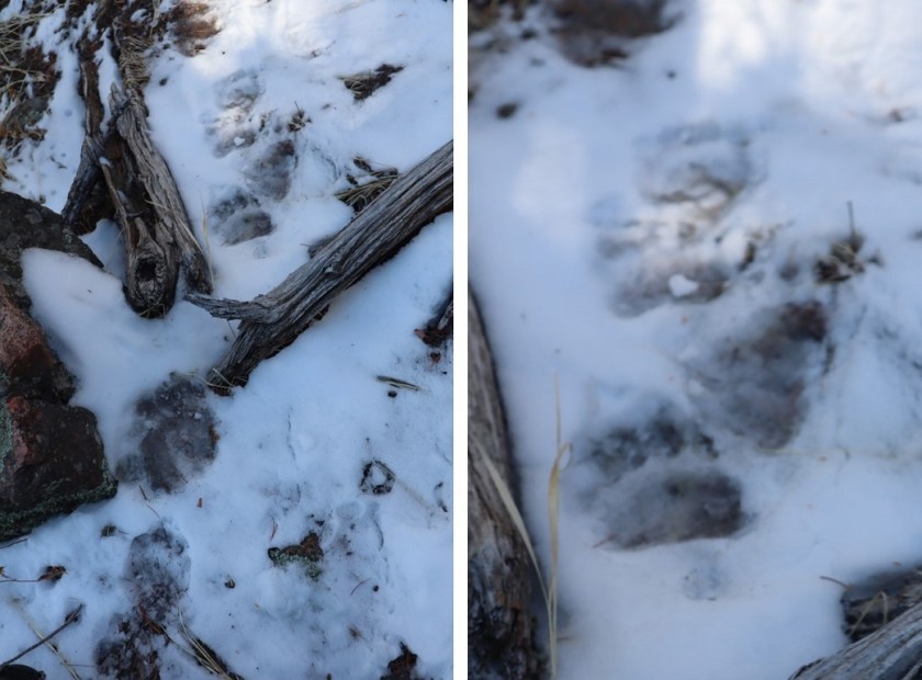
Along the way we saw some curious tracks in the snow. They were about 5-6 inches long and distanced about a foot to a foot and a half apart. It took us a while to figure out they were turkey tracks. It would have been much cooler had they been emu or velociraptor tracks or something, as they seemed too big to be turkey tracks…

14

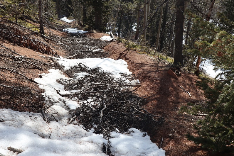
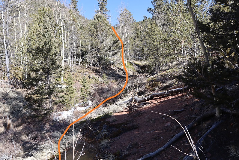
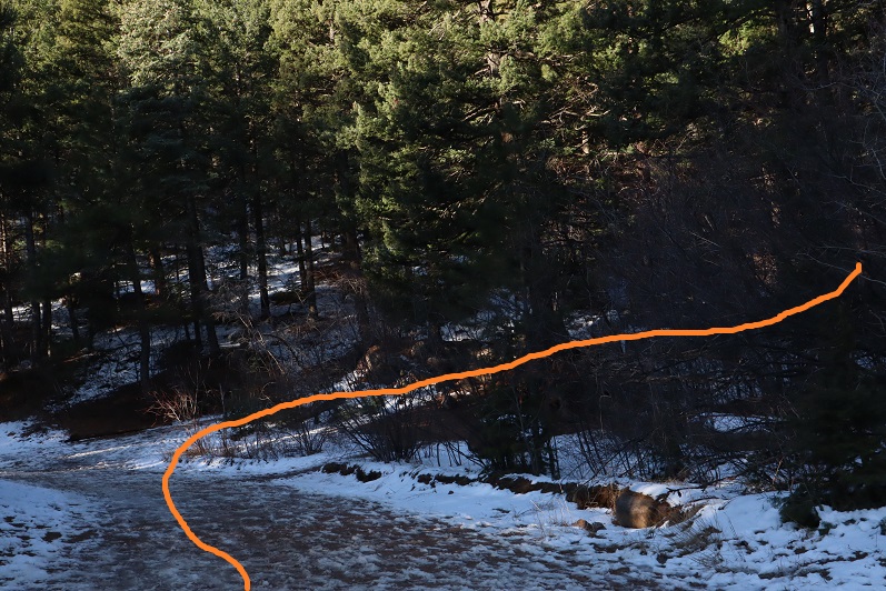
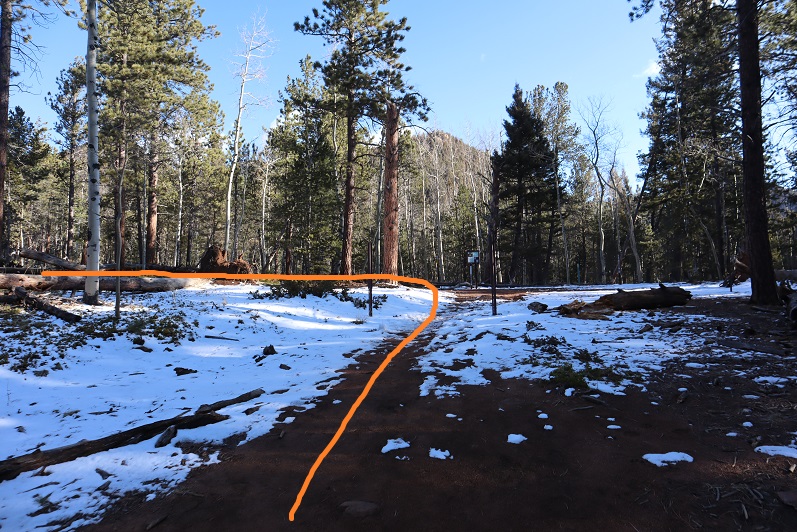
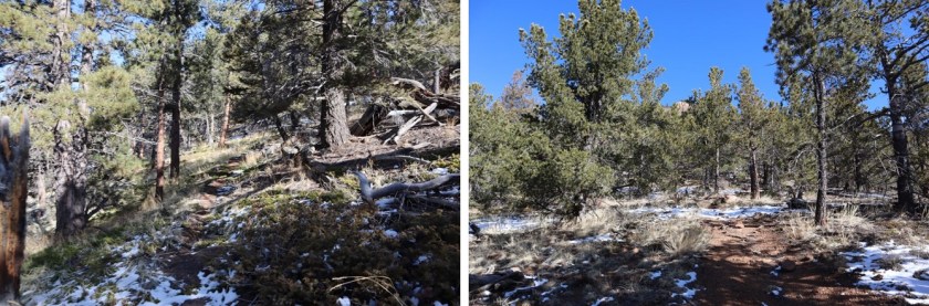
Once at Loud’s Cabin things once again got tricky. I’d made a GPX file from CalTopo with the way we were supposed to go, but the trails were no longer there. We decided to ascend the hill above the cabin and head west. It became apparent almost immediately we were on the wrong ‘trail’ but we were on a trail and headed in the right direction and felt committed… until it ended.

15

I noticed a few cairns so we followed them for a bit until they ended as well. I’m guessing the cairns were indicating an alternate route up Mt Garfield.

16

We weren’t interested in hiking Mt Garfield today, so we left the cairns and aimed northwest along the side of the mountain, making our own trail as we went. This included some fun scrambling over rocks and fallen logs. Be careful: those rocks and logs move!

17

Also, here we saw the first near tracks of the season! I’m thinking mama and cub

18

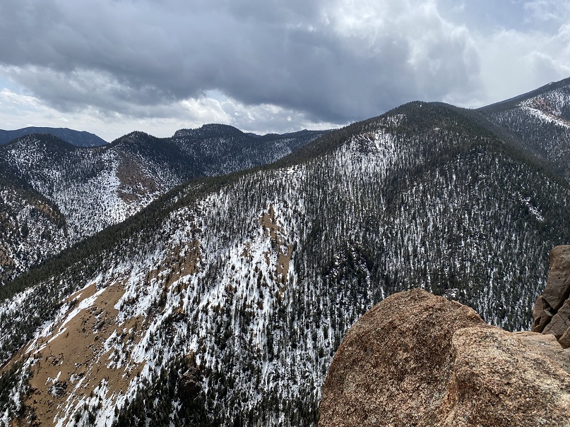
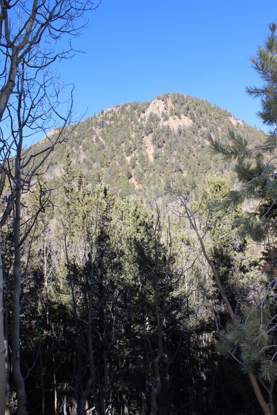
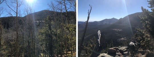
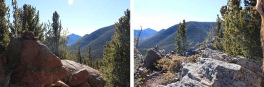
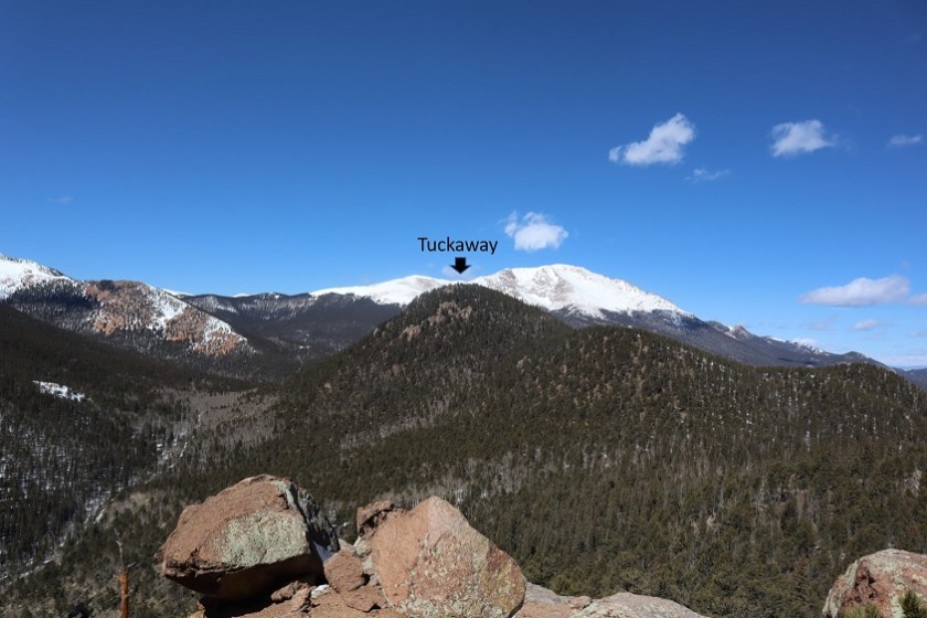
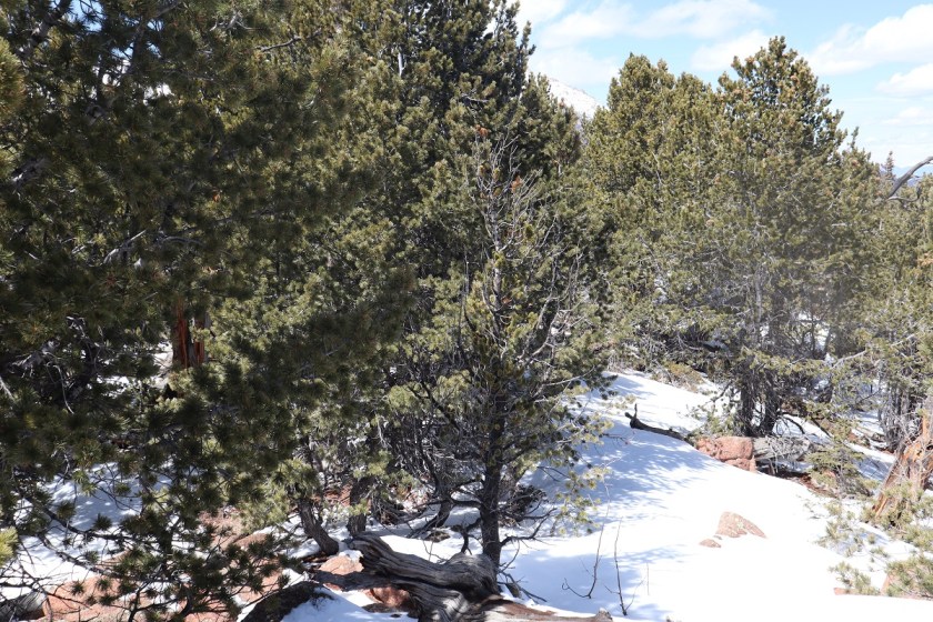
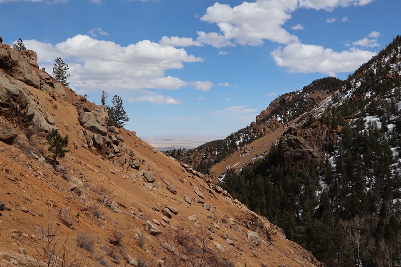
We had great views of Tuckaway when the trees cleared (which wasn’t that often). The frustrating part? We didn’t seem to be getting any closer. In fact, it felt like the mountain was always in the same place (well, it was, but we weren’t making much progress).

19

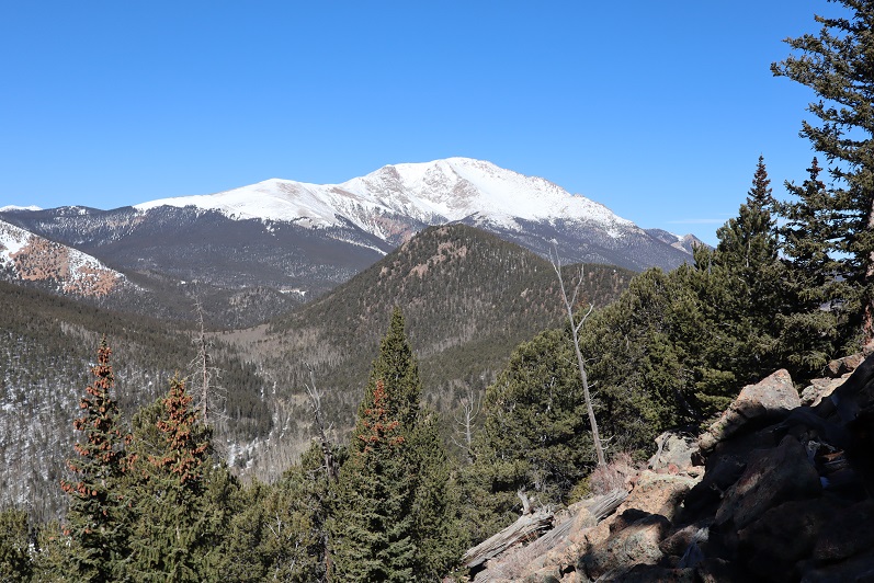
This was our view of Tuckaway most of the time

20

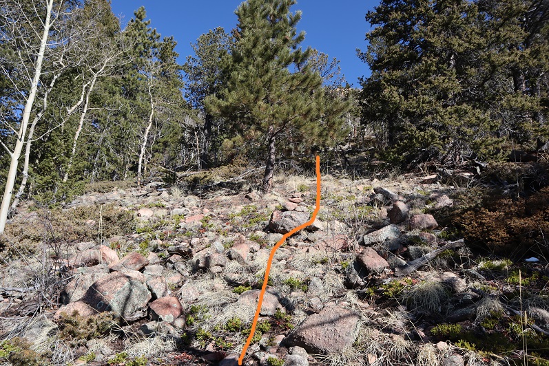
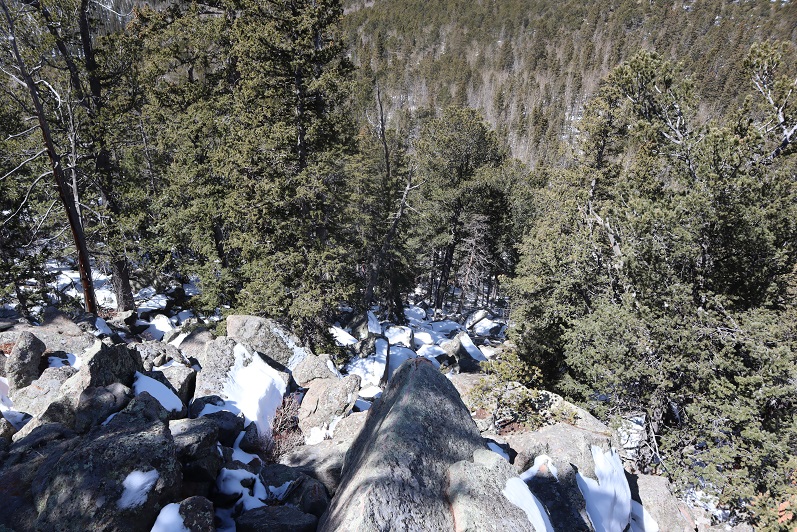
Finally we made it to the top of a rock formation at about 10,400’

21

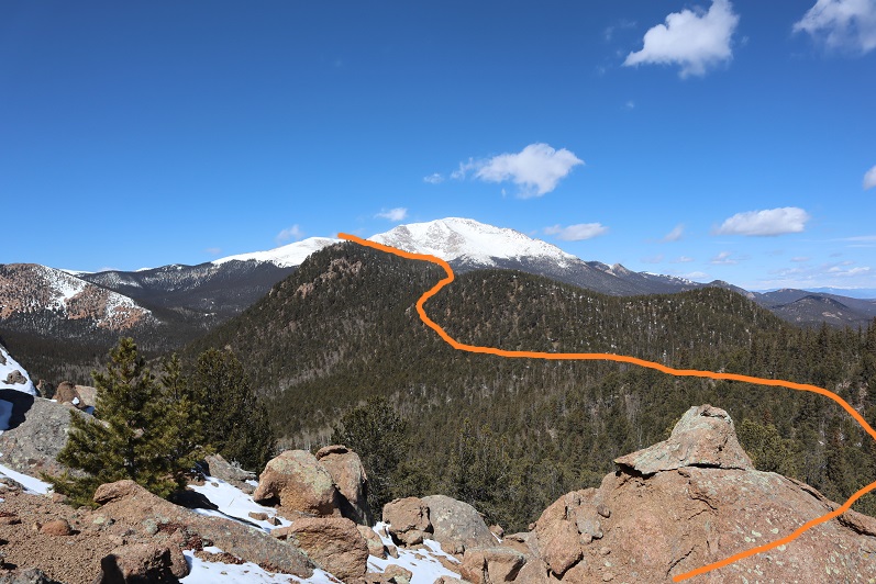
Here’s the view looking back at the way we’d circled Mt Garfield

22

And a look at the route before us towards Tuckaway

23

There were tons of ways we could have traversed over to Tuckaway, and we actually went back and forth while we were hiking as to the best way: there’s snow you cannot see in a lot of areas that would make certain routes lousy. We’d initially wanted to just hike across the ridge, but instead this is the path we took:

24

I got a picture because the view was great

25

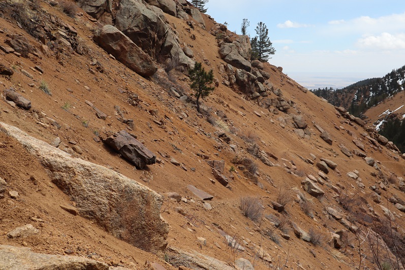
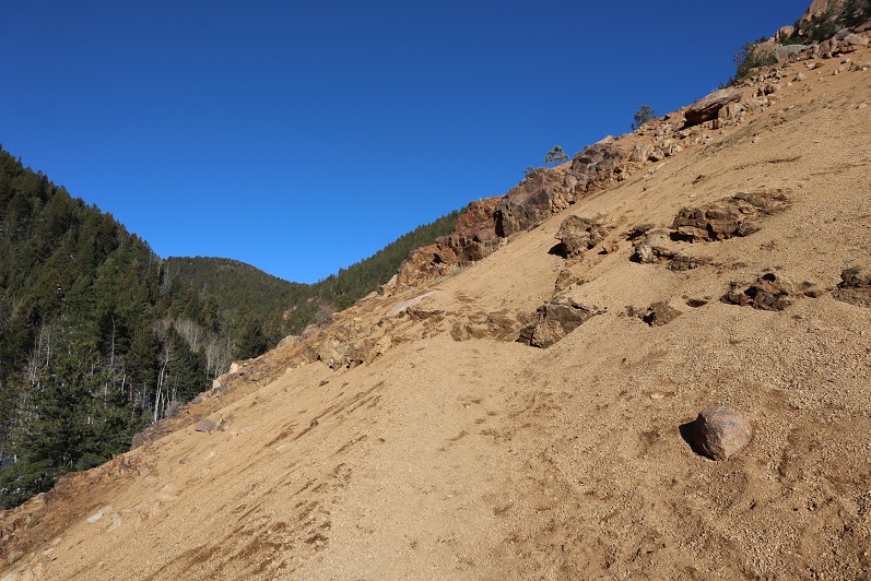
And we were off, deciding to initially descend this spot to the north (where we came across a mine not listed on the map), and then head west down some snow covered boulders. The scree here was really soft and felt a bit like quicksand.

26

27

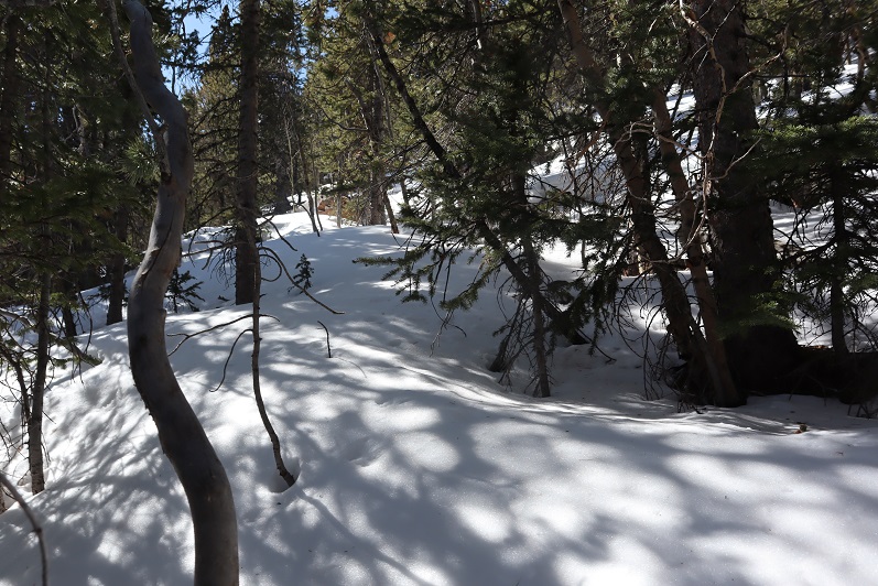
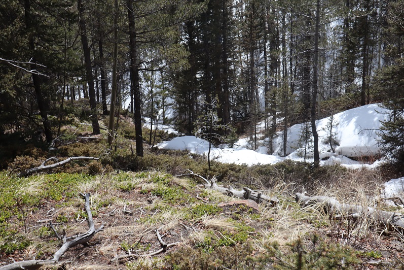
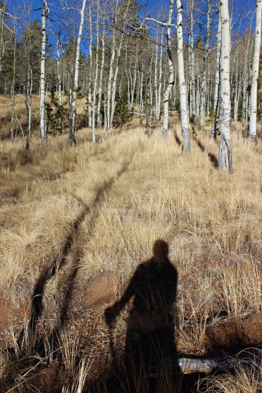
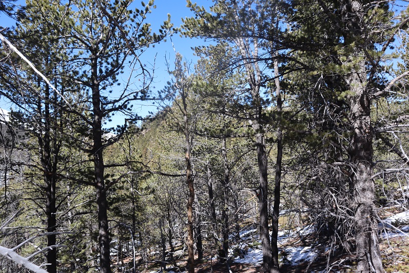
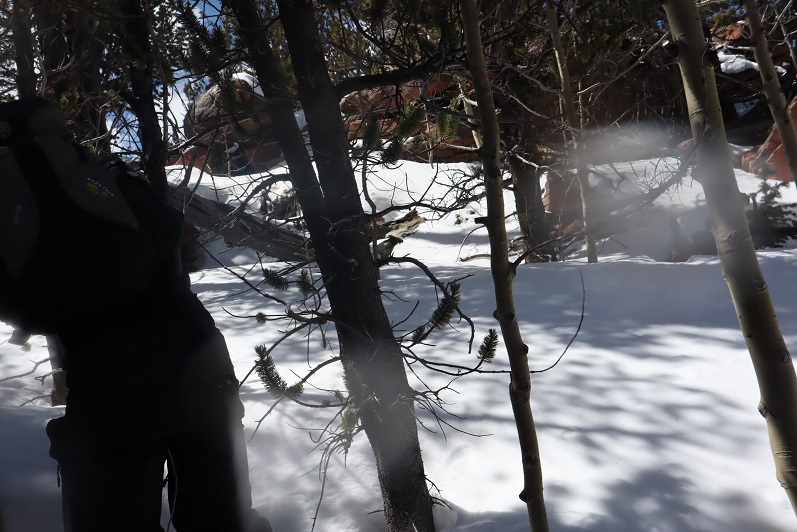
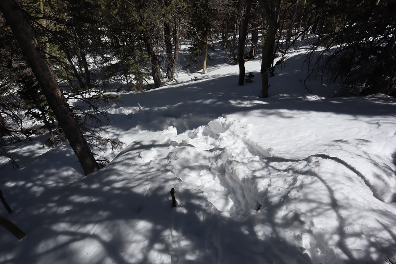
There are no great pictures here, as we were just in the trees headed towards the saddle just before Tuckaway. When we reached the saddle it was time to don our snowshoes. We trenched a trail from the saddle to the west and came across my tracks from last week.

28

My tracks eventually ended and we had a time sinking up to our waist in the soft snow, but we were stubborn and took turns trenching: we could see the blue skies above indicating a ridge and were determined to summit today

29
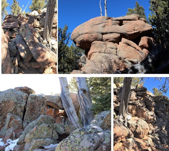
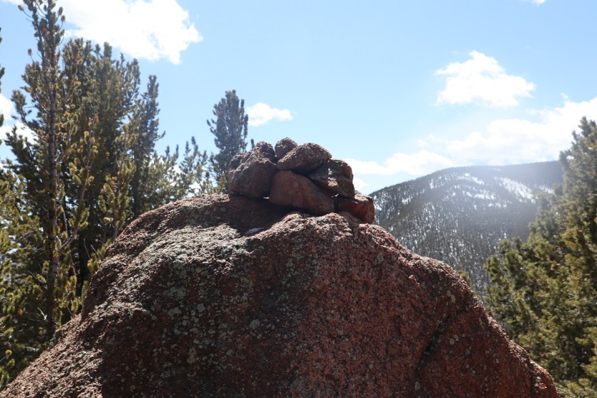
We made it to the ridge and to our immediate left was a cairn. This is where I’d stopped a few years ago, thinking this must be the summit (cairns like this usually indicate a summit).

30
It certainly looked/felt like the summit, and indeed, from here you cannot see a higher spot. However, I’d had someone (not so nicely) comment on my blog that I hadn’t reached the true summit; that it was in fact further to the west. So today I was here (again) to see if he was right. We decided to follow the ridge west, through several feet of snow (I love snowshoes!!!) gaining and losing elevation as we went.

31

After about 2/10ths of a mile we came to a point I wasn’t convinced was higher than where we’d been before but was definitely the spot I’d seen in other one person’s picture as the summit. There was no summit register here either and no cairn indicating a summit.

32

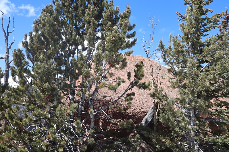
We decided to climb the rock, which took careful footing and a leap of faith. Here’s Steffen heading back

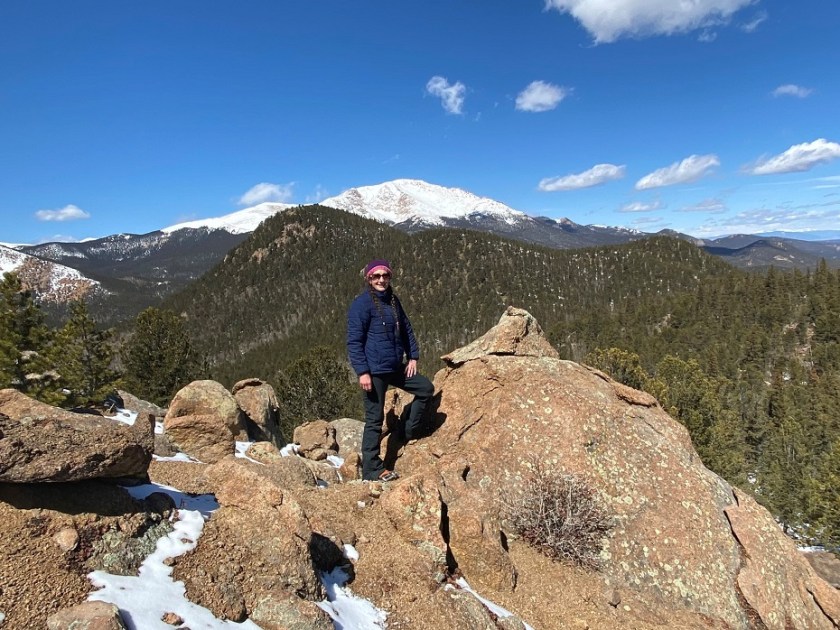
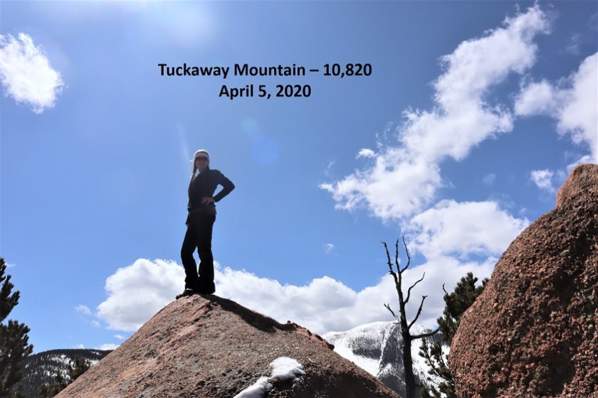
Here is my summit photo

33

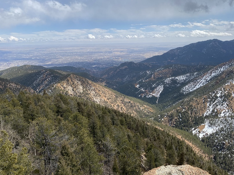
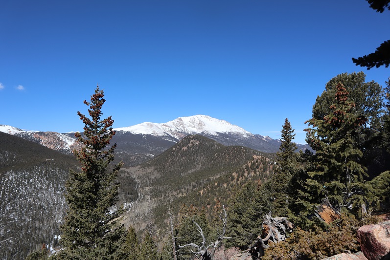
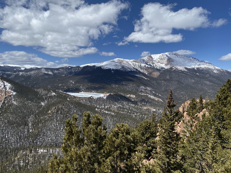
And some of the amazing views from on top of the rock

34

We took a summit selfie

35

And I got another shot of the way back down

36

Side note: As I said earlier, I wasn’t convinced this point was any higher than the point we were at before, so once I got home I put the route up on CalTopo. It showed the second point was indeed 3 feet higher than the first, but I hadn’t climbed to the top of the first rock like I had the second. In other words, I think both places are of similar height, and in fact, while the rock was difficult to climb I’d say the route I took the first time was more challenging than the one I took today. In any event, either way, we summited because we made it to both points. I think either point should count on its own.
We decided to descend the way I’d trekked last week, and followed our snow tracks to the saddle

37

38

39

And back down the gully to the trail I took last time.

40
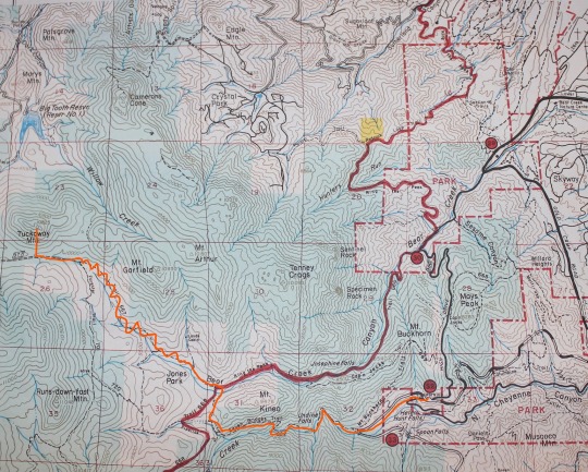
What’s frustrating here is the trail that’s on ALL the maps, GPX files, etc. is a trail the forest service doesn’t want you to take. They’ve made it extremely difficult to follow because they don’t want people hiking there. They’ve essentially tried to close this trial.

41

I totally get this, but the problem is they haven’t established new trails/produced proper GPX files, etc. of new routes. This is the best they give, which is a poor excuse for a map and doesn’t include topographic features or mountain names. It’s like they want you to get lost

42

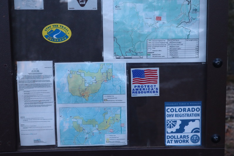
I’ve been in this area several times and their new trails are terrible and are meant for dirt bikes, not hikers. It’s really frustrating: I’d set out today to follow proper (new) trails and provide a GPX file for others interested but was unable to do so due to lack of information. In my topo picture at the end it shows I followed the trail on my return, but that’s the one they’ve blocked off, so it isn’t actually a trail. IT was however, my safest option.
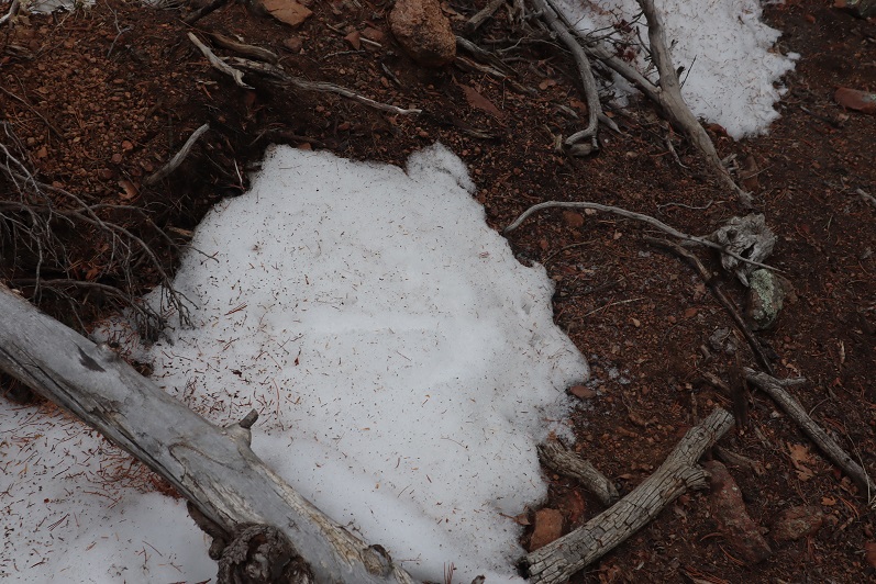
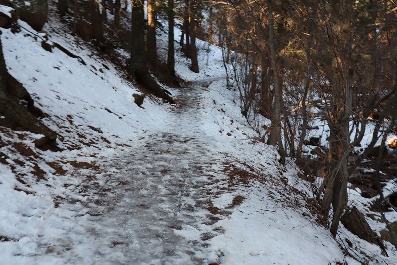
We encountered a lot of snow on the trail on the way back, and instead of complaining about how we kept on postholing we decided to make it fun. Here’s Steffen trying to get across the snow without sinking by running fast (spoiler alert: that doesn’t work)

43

44

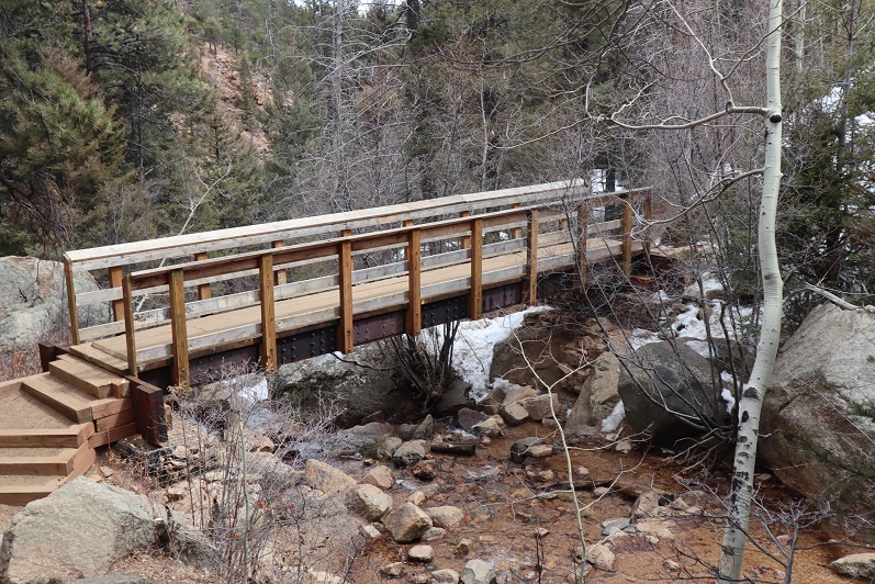
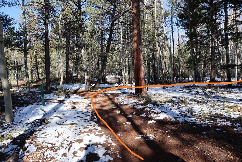
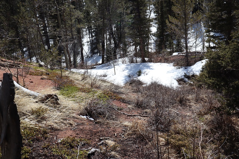
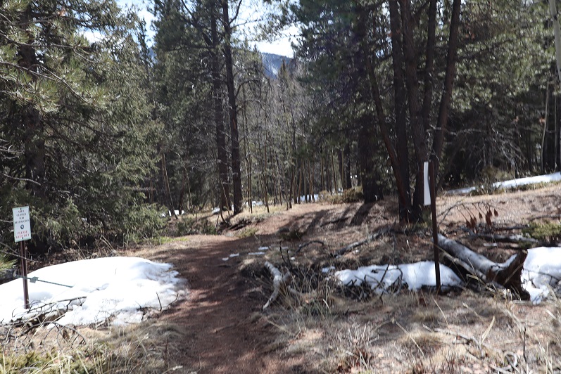
We made it back to just below Loud’s Cabin, linked back up with Trail 667, and followed it back to the parking lot

45

46

47

48

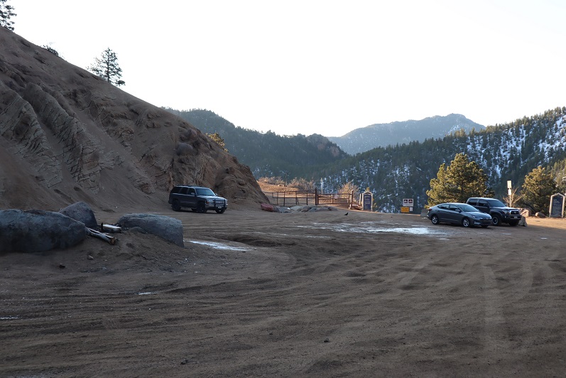
We were surprised to find when we made it back to the lot that it was overflowing with cars!

49

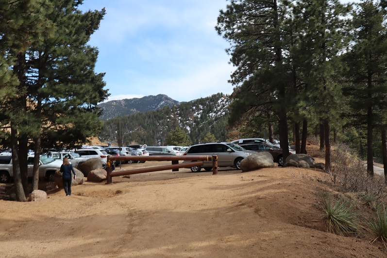
What was disturbing was about a third of these vehicles were from out of state. We’re supposed to be staying home and hiking only in our respective county, and I’m doing my best to abide by those rules (before they get worse). It was extremely frustrating to see so many out of state cars, and they just kept going and going and going: the lot was overflowing and cars were parked along the side of the road for miles as we exited. There were more cars here than I’ve ever seen in the summer. It must be Spring Break in other states and they’ve decided to still take their vacations.
We made it back to the truck at 3:30pm, making this a 12.5 mile hike with 4220’ of elevation gain in about 8 hours. It was a perfect day to go hiking!!! I’m so glad we got out and got some fresh air!

50

Tuckaway Attempt and Mt Kineo

1

Note, my successful climb of Tuckaway can be found here.

This whole Coronavirus thing is crazy, and it’s driving me crazy. Half the states are closed to outdoor recreation, with the other half open. Our county is open for hikers (with restrictions to social distance), others in the state are closed (and there seems to be no consistency) so I chose to social distance close to home today, getting in 14 miles and 4300’ of elevation gain on a trail that hasn’t been used much, if at all this winter. I didn’t pass a single person all day.
My intent was to hike Tuckaway Mountain. It’s located off North Cheyenne Canyon well off the beaten path but at a popular trailhead. I arrived at the trailhead at 6am, the first vehicle in the lot. Right behind me was a car full of runners: they parked and immediately started running down the trail. I envied them their lack of gear.
I’ve explained this hike several times so I’ll just paraphrase: I took the Seven Falls Trail (622) to the junction with 677 and then 622A to Loud’s Cabin. This part of the trail was snow free but I wore microspikes because there was ice in areas.

2

3

4

5

6
Once at Loud’s Cabin the trail ended, but it wasn’t supposed to. I ended up backtracking a bit and finally finding a trail! The only problem? They obviously didn’t want anyone using this trail.

7
Hmmmm. In the past few years they’ve done a lot of re-routing trails here. This must be one of the ones they closed off. I knew which direction I was supposed to go, so I decided to leave the old trail and bushwhack my way towards another trail I was sure would be ahead of me.

After crossing a stream

8
I just aimed west, keeping the snow filled gully to my left.

9
I hiked like this for about 2 miles, until guess what? I found a trail! It was obvious this trail hasn’t been used all winter.

10
I followed it north and held out as long as I could before putting snowshoes on

11

12
Just as soon as I put on the snowshoes, the snow stopped. I found myself at another gully, and this time followed it up to the saddle. This part reminded me a lot of Mt Garfield, and there wasn’t a trail.

13
Once at the small saddle I turned left (west) and once again donned my snowshoes.

14
After about 200 feet of snowshoeing I could tell I was very close to the summit, but unfortunately the snow became impassable in snowshoes (I could have done it in skis). Every step I took I sank up to my waist. The snow was just too sugary and warm for snowshoes to be effective. Maybe if I’d started earlier in the day the snow would have been more firm?

15
I turned around a couple hundred feet from the summit. This was my second attempt of this peak (I thought I’d summited the first time but was told the summit was actually 50 feet more to the north, so I wanted to go back and see for myself/hit the true summit). I wasn’t that upset about turning back because I was really proud of all the route finding I’d done. Also, I have a friend who wants to hike this mountain with me, so I knew I’d be back no matter what. Now I just have more accurate route information.
From here I could see my path back down the canyon. Yep, I now know these hills like the back of my hand. Who needs a map?

16
I made my way back down the gully to the trail, and followed my footsteps back

17
To where I’d written I the snow where I’d bushwhacked in from so I knew how to get back

18
Back down the mountain I went, keeping the snow to my right this time

19
I was thrilled when I made it back to Loud’s Cabin. This had been a great day! This is also where I got the idea to summit Mt Kineo, just to say I’d summited something today. I’ve summited Mt Kineo several times, and it isn’t a difficult summit. I didn’t need a map or directions to get there. I hiked back to the 677/622 Junction and left the trail to hike up the Kineo mountainside

20
At the false summit I had a pretty good view of Tuckaway Mountain (the mountain I’d attempted that morning). It didn’t look snow-filled, even though it had been.

21
There was actually more of a trail this time up the mountain than I’ve ever seen. The first time I hiked here there was no trail, but now it’s a clear path.

22
The views from Kineo don’t disappoint!

23

24
The hike back was uneventful. It was weird not seeing anyone on this part of the trail: the last 1.5 miles is usually teeming with people

25

26

27
I made it back to my truck and the lot was about halfway full. I was glad people were getting out and enjoying the sunshine while they can. The cool thing about our trails being open is they self-regulate. There are only so many parking spaces at the trailheads so only so many people can be allowed in.
Here’s a copy of my track

28

Tuckaway Mountain – 10,825′

image

RT Length:  12+ miles

Elevation Gain: 3400’

Notes:  Bring your
sense of adventure and a helmet!

This hike was really pretty awesome!  Each time I go out looking for a bit more of
a challenge, and today I found it!
Tuckaway Mountain is listed in the Pikes Peak Atlas, but there is no established
(or even mildly established) trail to the summit.  The hike is long, the summit a class 3 scramble
(at least).  It really is Tucked Away, and takes a long trail through North Cheyenne Canyon to reach.

I started this hike at 7:45am at the 7 Bridges Trail parking
lot.  Around the 2nd bridge I
saw a decorated Christmas Tree that wasn’t there two days ago when I hiked this
part of the trail to summit Mt Garfield and Mt Arthur. The tree immediately
brought a smile to my face, and then my next thought was “I hope whoever put
this here takes it down as well”  LNT and
all.

image

I followed the 7 Bridges Trail to the junction and turned left
onto 667.  I stayed on this trail until
it ran into trail 377.  This seemed to
take a really long time, probably because of all the switchbacks!  My map didn’t mention those, so I put them in
where they’re missing.  They go on
forever!

image

This trail is newly renovated, and seems to cater to
motorcyclists/mountain bikers.  I didn’t
see one hiker on this trail all day, but saw 1 group of motorcyclists and 2
groups of bicyclists.  They all seemed
surprised to see me.

image

The wind started picking up around 9500’ and I was glad I’d
chosen to stay below treeline today.  Looking
at the topo map I thought once I was close to Tuckaway Mountain the hike would
be easy, but I was wrong.  First off, the
mountain was extremely difficult to see, even though it’s late in the
fall.  Secondly, it was covered in
rocks!  

image

Once I made it to the area directly in front of the mountain
I turned right/north.  This is what I
saw:

image

I decided my best course of action was to really study the mountain,
pick my route, and head up.  The entire base
was covered in Aspens, making it difficult to tell where I was going. I didn’t
want to get stuck at a rock outcropping.

image

I chose to summit to the east to avoid the large
outcroppings, but in reality, you can’t avoid them all.  There is no established trail to the top of
Tuckaway Mountain:  no trail, no cairns,
nothing.  I did some major scrambling,
involving all hands and feet at once, as well as some intuition and luck!  The rocks weren’t stable, and even the big
ones rolled when I touched them.  Where
there weren’t rocks there was scree, and very slippery terrain.  

image

Since I was basically bushwhacking and I couldn’t see the summit
through the trees, I kept stopping every 20 feet or so to look back behind
me.  I kept this sandy area in my sights
for my return trip back down.

image

I summited at 10:45am, to a bunch of rocks!  The summit was rather long and irregularly
shaped, full of trees, and lots of rocks to scramble on.

image
image

I took a bunch of photos from all around the mountain, just because
I could, and to show where it’s located in relation to the other peaks in the
area.

image

Next came the fun part:
heading back down.  The trek up
was challenging, and so was the trek back down.
I had to be careful with my footing.
I spent a lot of time lowering my center of gravity and getting stuck
with needles and thorns.  My gloves were ripped
in places and covered in yellow Aspen dust by the end.  Just an FYI:
pine needles are slippery… avoid patches of pine needles.  By the time I’d made it down I was COVERED in
dirt.  I really looked like I’d worked
for that summit!

I made it back down to the Aspen grove and was able to find
trail 377 to lead me back.  The trek back
seemed a lot longer than the trek in (which seemed long to begin with… I’m thinking
it may be more than 12 miles total now that all the switchbacks are there…).  It was mostly downhill, but those switchbacks
went on forever!  When I made it to the 7
falls area it was PACKED with people!  I
was surprised to see so many families lining the trails.  And I mean families!  Most groups had over 10 people, over half of
them under 10 years old, most younger than that.  It was great to see so many young families
out enjoying the trails, but it was frustrating trying to pass the large groups
who were (understandably) going slow.  Gold
Camp Road was full of strollers.  The
parking lot that had 6 cars in it when I arrived was overflowing with at least
100 cars:  people were parking down at
Helen Hunt falls and walking up!  I was
really glad I’d gotten an early start on such a popular hiking day.  

image

I made it back down to the trailhead at 2pm, making this 12+mile hike with 2400′ elevation gain in 6 hours, 20 min (with a lot of summit time!)