RT Length: 17.1 miles
Elevation Gain: 4750’
I really wish I would have linked up this peak with PT 13164 when I did it in 2019, but then it wasn’t a known ranked 13er. In any event, today was a long day, so I was getting an early start so I could drive back home for work the next morning.
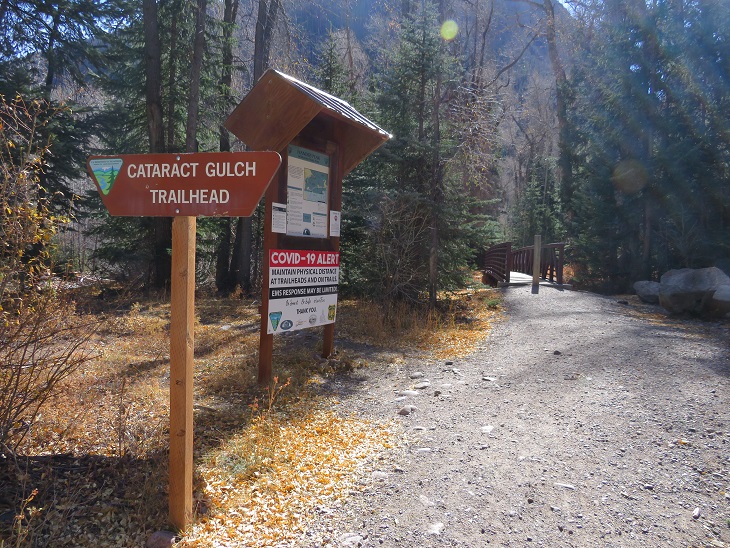
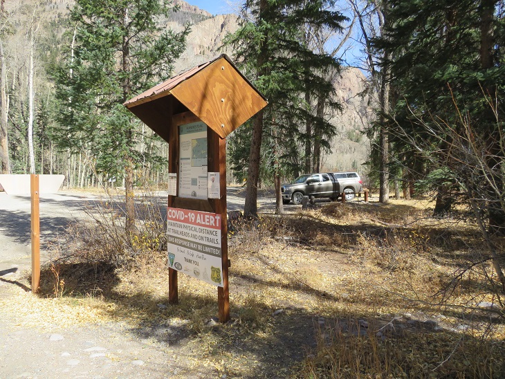
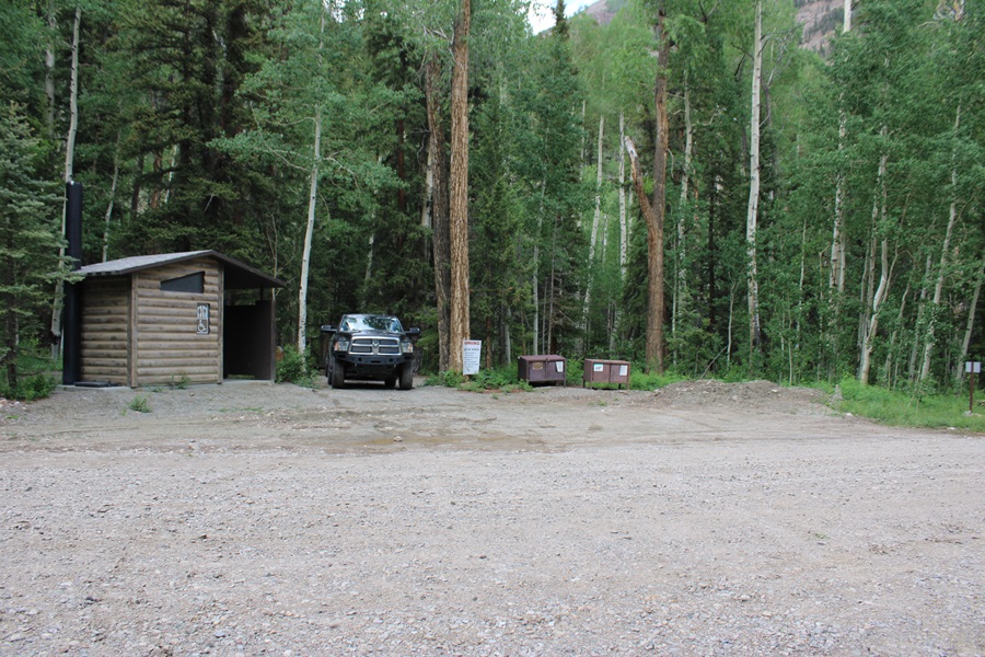
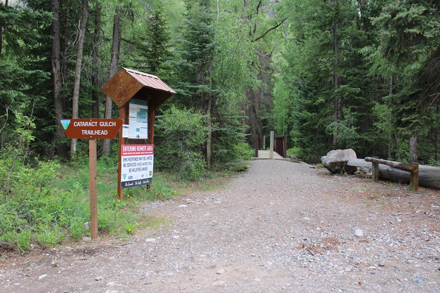
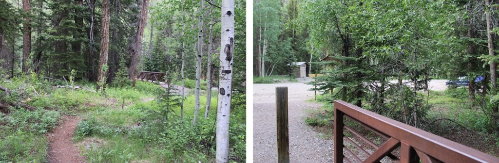
I parked at the Cataract Gulch Trailhead and was on the trail at 3:30am. The trailhead has several parking spaces, dispersed campsites, and bathrooms.
The trailhead is clearly marked, and easy to find.
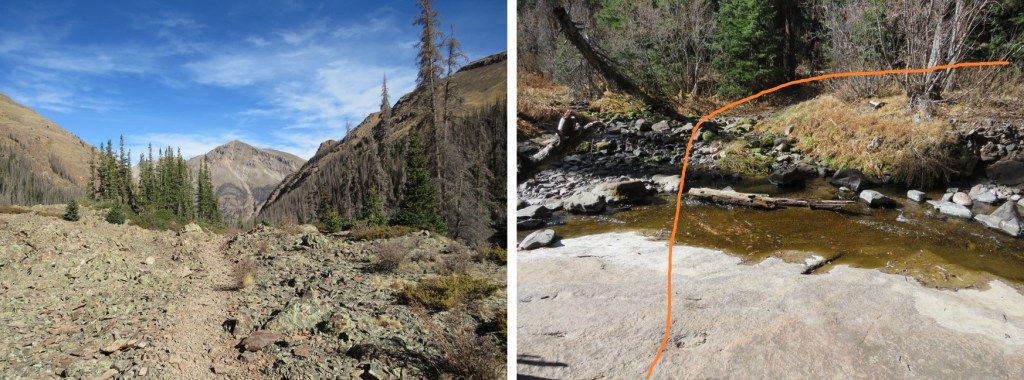
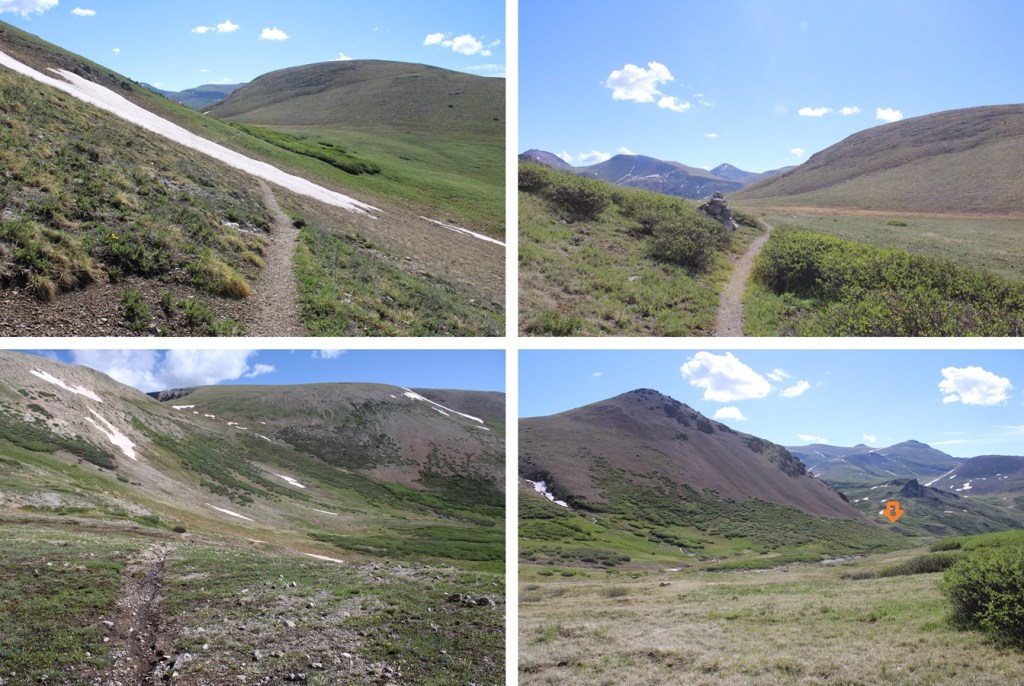
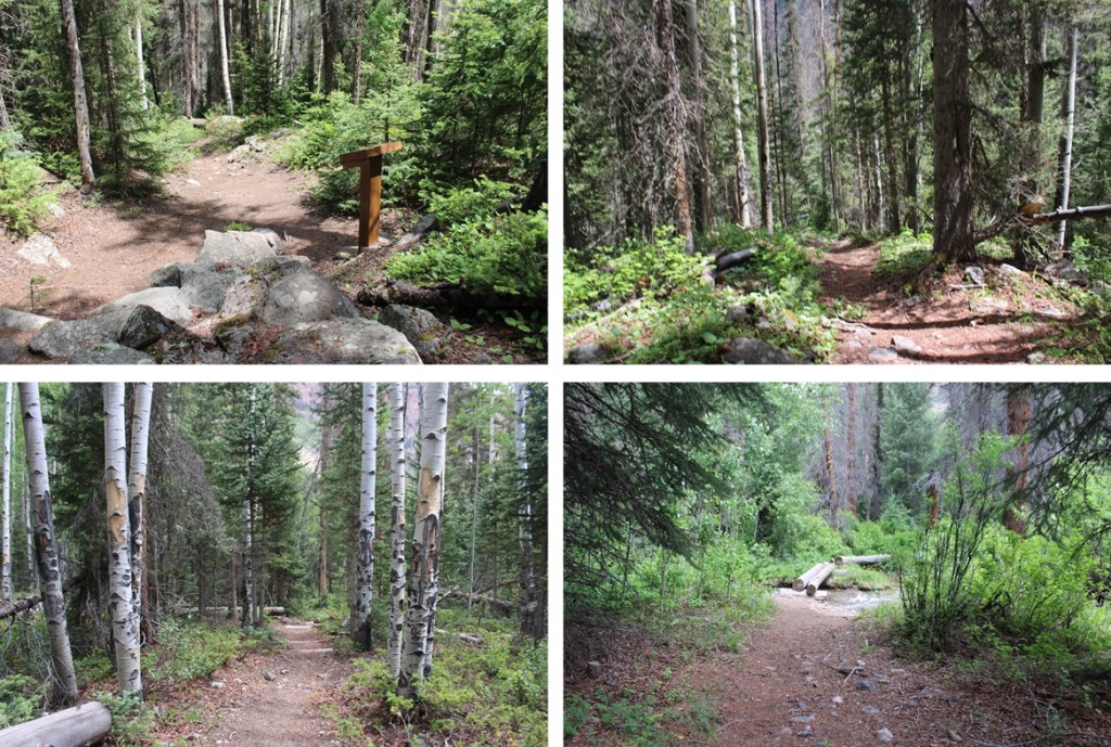
I followed the class 1 Cataract Gulch Trail south, towards Cataract Gulch.
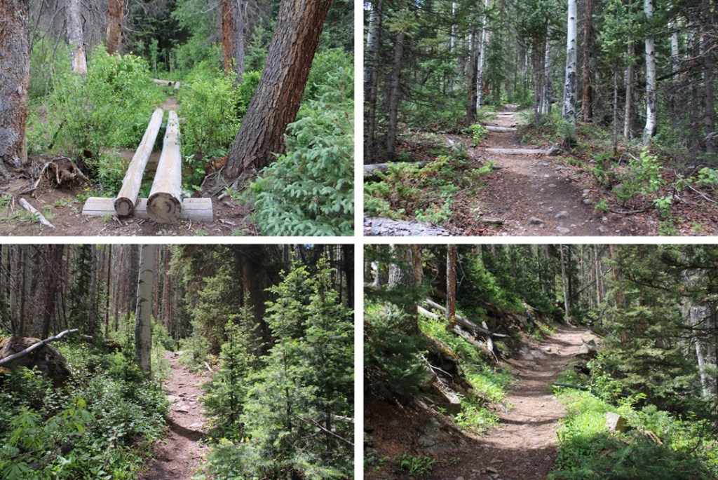
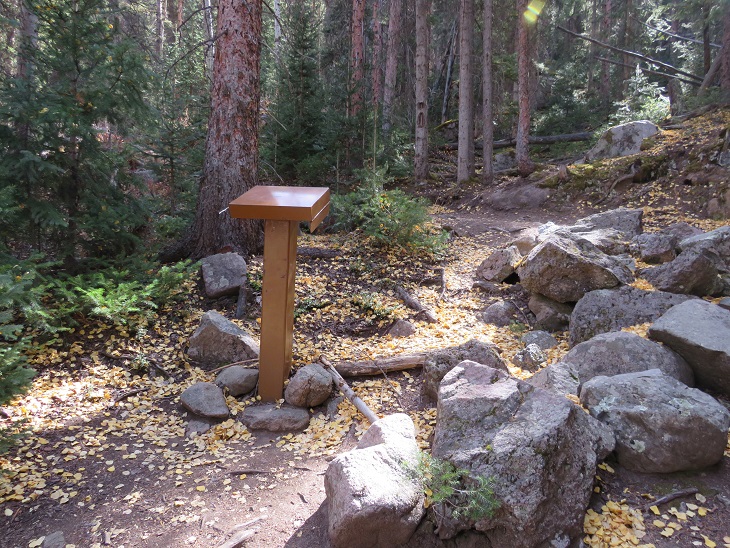
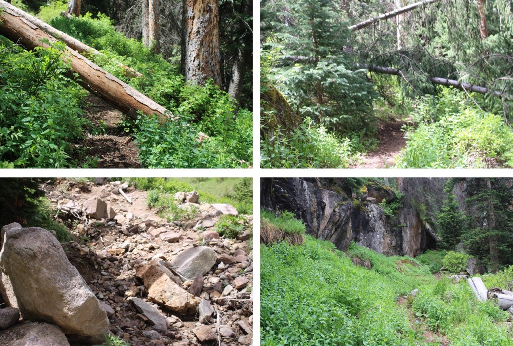
There were several downed trees on the trail, but it was easy to navigate.
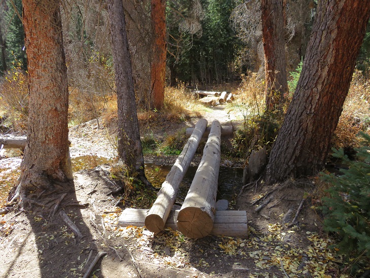
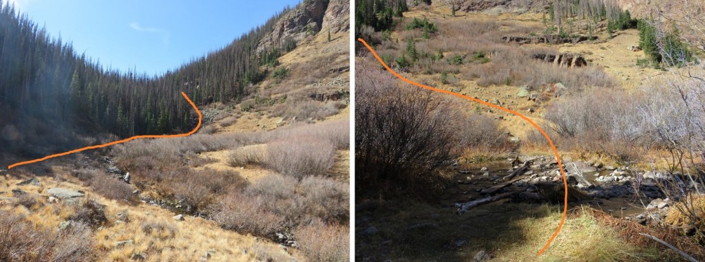
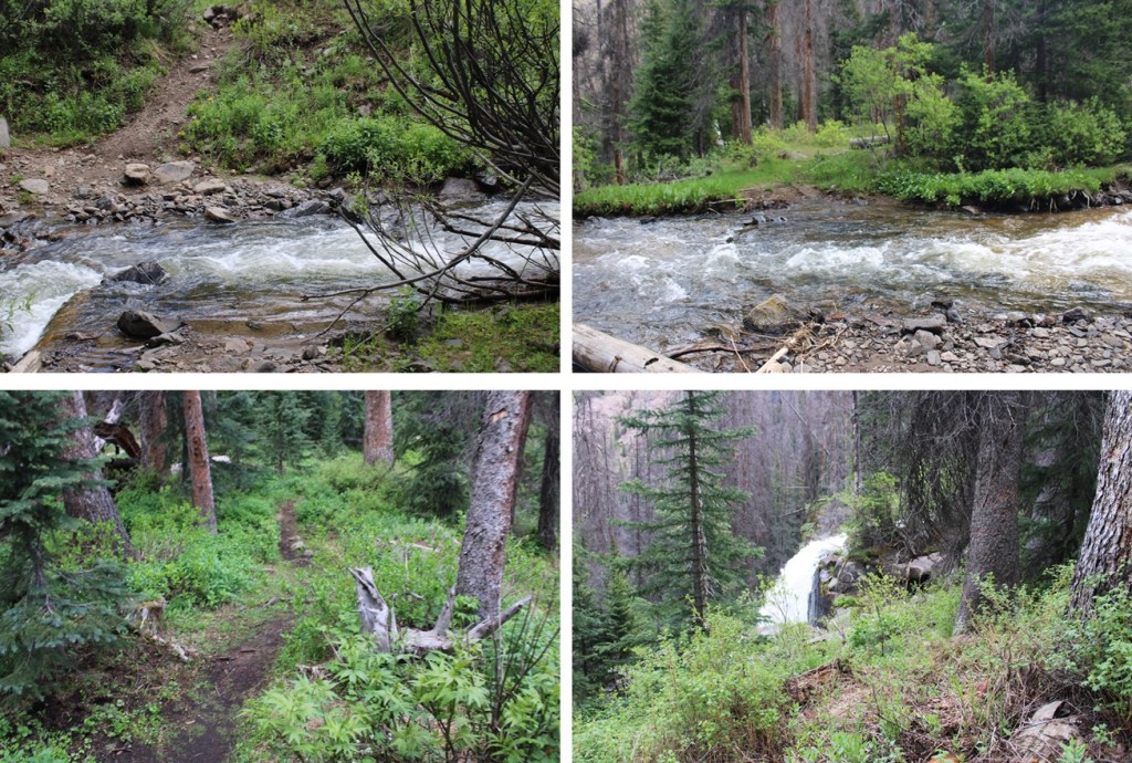
Just before reaching the waterfall about 2.5 miles up the trail, I crossed the creek on a couple of logs.
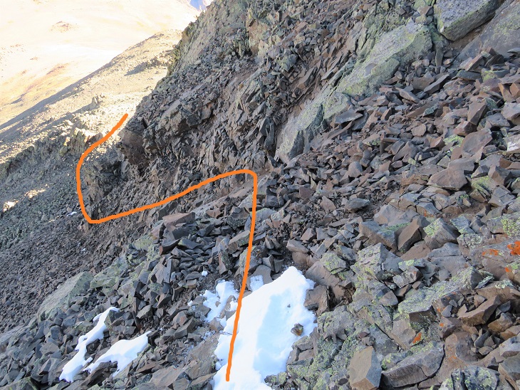
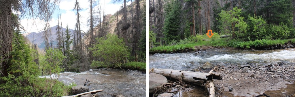
This is where many people get lost. I headed up the slope, and there was a large tree blocking the path. I went left, navigated willows and some boulders, then regained the trail.

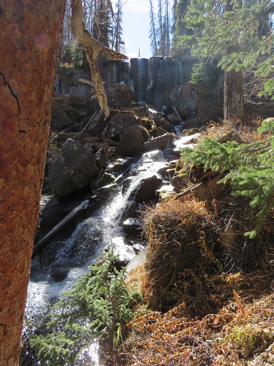
I could now see the waterfall clearly. A lot of people continue straight here, towards the waterfall, following the social trails. Instead, look for a trail to the right that goes up and behind the waterfall.

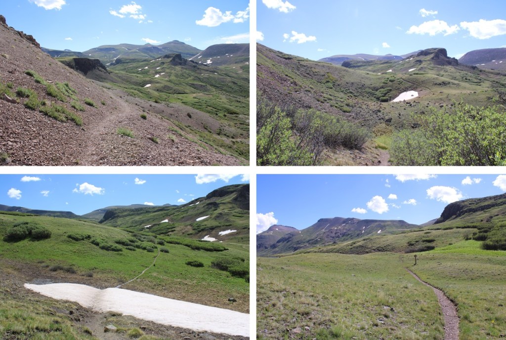
Next, to cross the creek. I crossed directly above the waterfall. Probably about 10 feet from where it drops off. At night I knew where to cross because there are little reflecting circles on the trees across from the water that glow when you shine your flashlight across them. The water was running high today, and I didn’t want to go over the edge, so I crossed carefully. The water was up just past my knees.
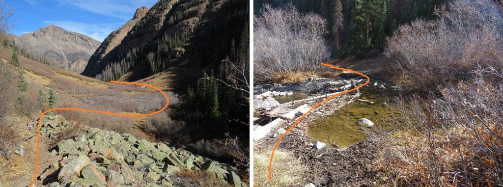
I picked up the trail on the other side, and quickly came to a second creek crossing.

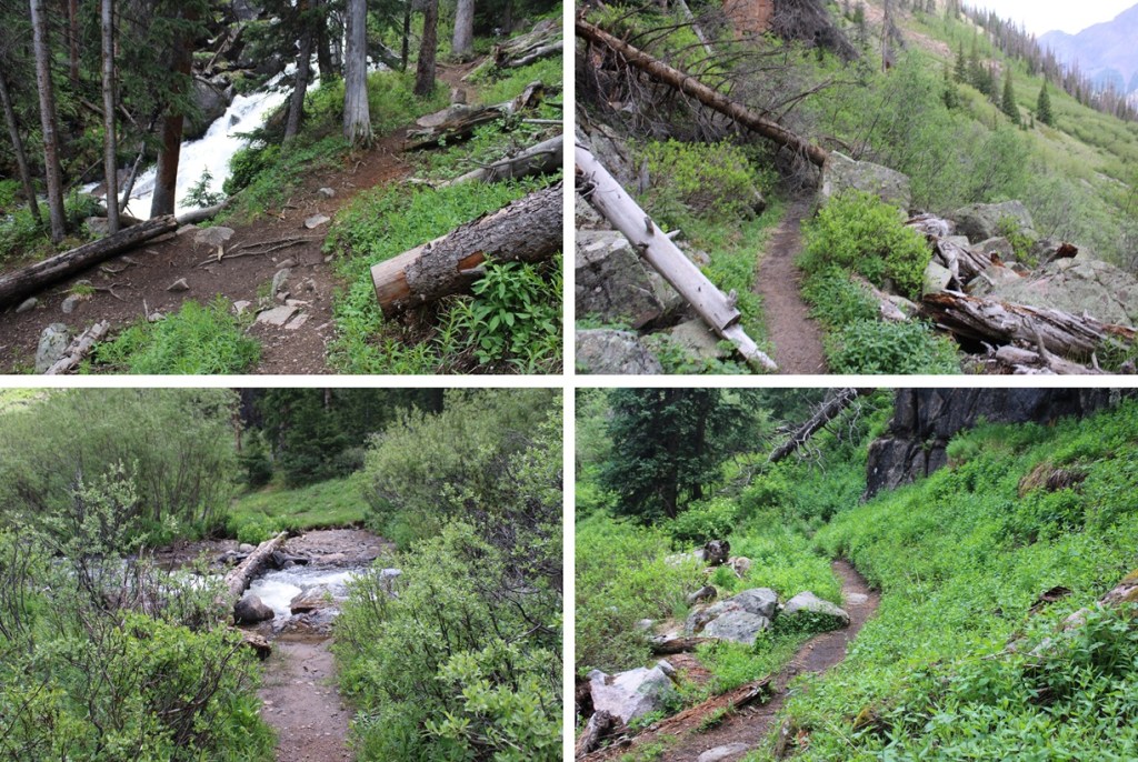
I picked up the trail again on the other side, and ascended through a cairned, rocky area.
This led me to my final creek crossing of the morning.
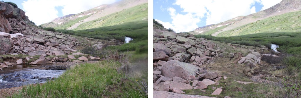
I crossed the creek one more time, and picked up the trail on the other side. It led me up and around to the left, behind boulders and through a small canyon.
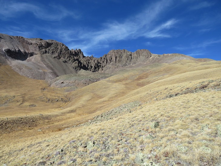
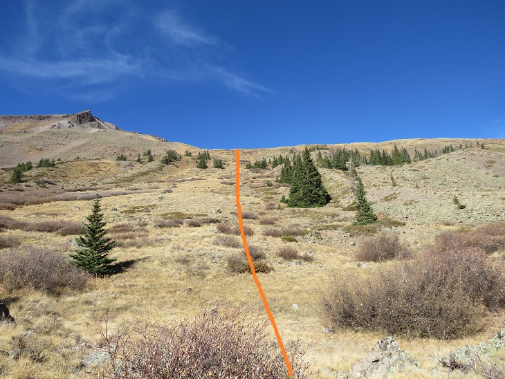
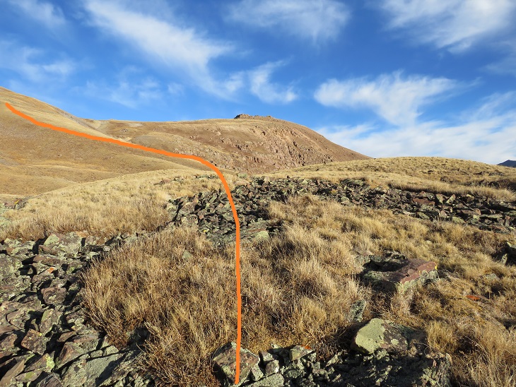
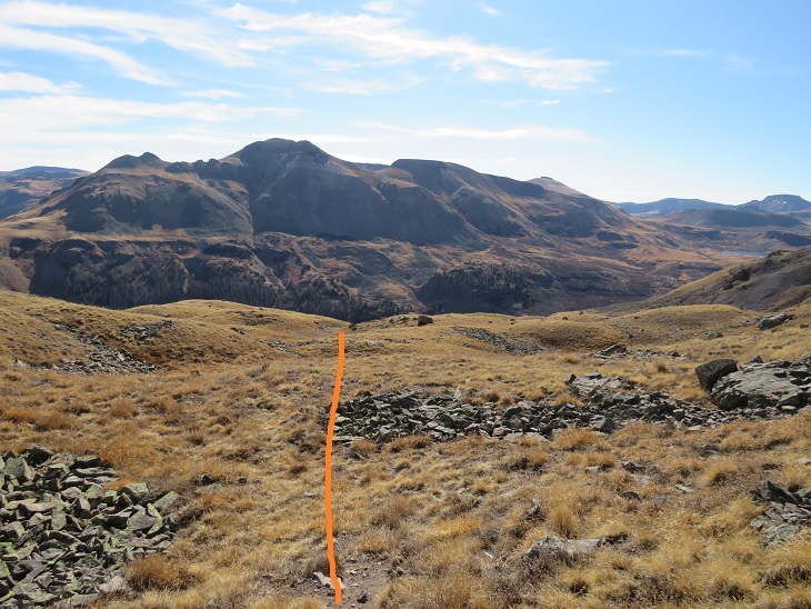
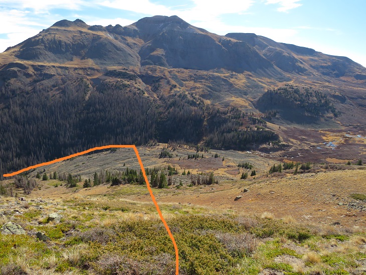
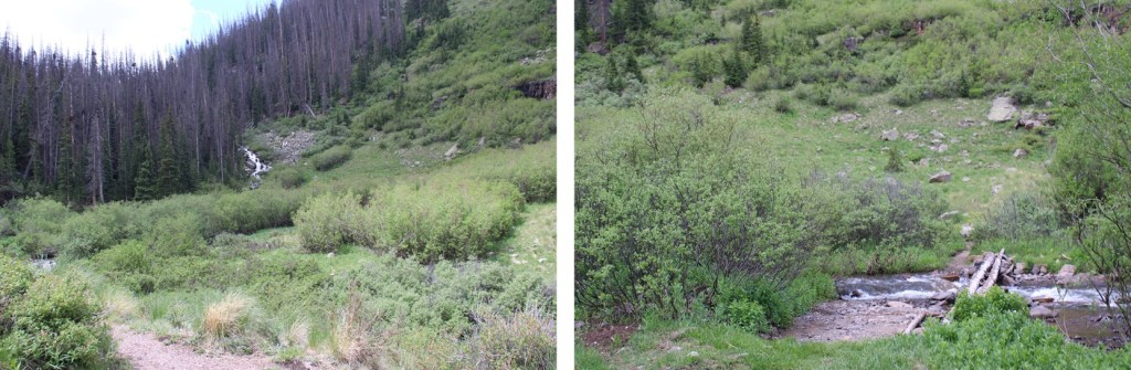
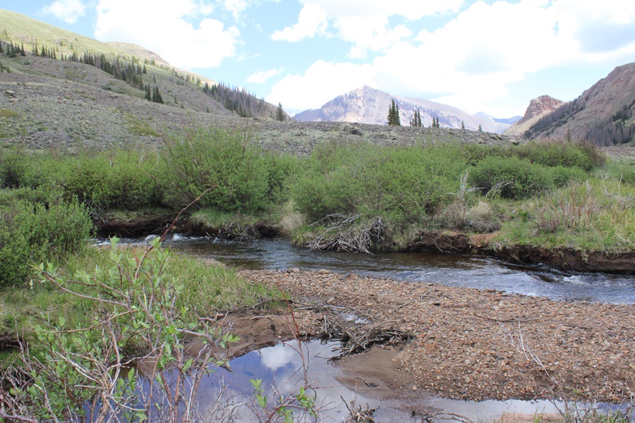
I was now headed south towards Cataract Lake. There’s a pretty good trail here, but every once in a while it gets overgrown. The trail slopes slightly downward as it goes across the tundra and through the willows. There are posts to help guide you if you lose the trail. I was headed here:


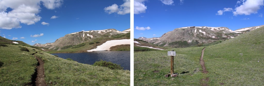
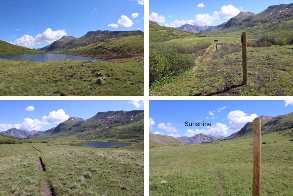
I passed Cataract Lake to my left, and a small lake to my right. Here the trail picked up with the Colorado Trail, and I followed it right, west, towards Cuba Gulch.
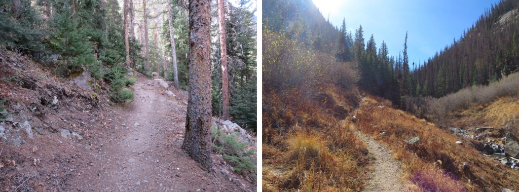
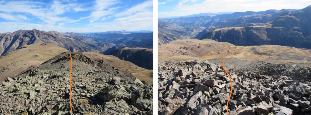
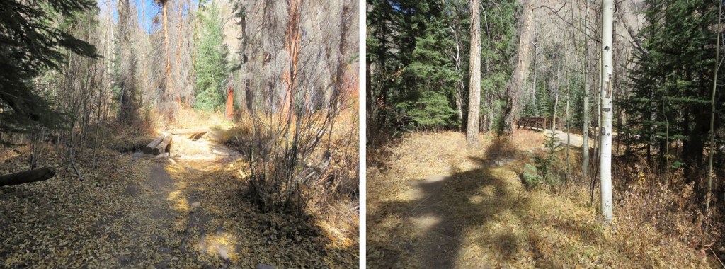
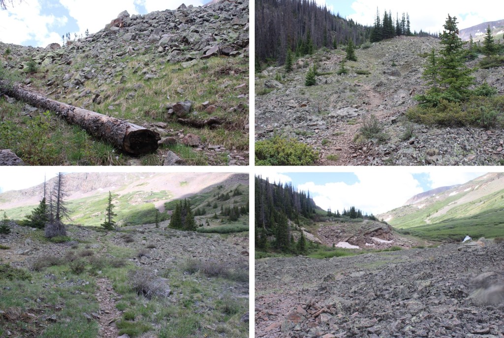
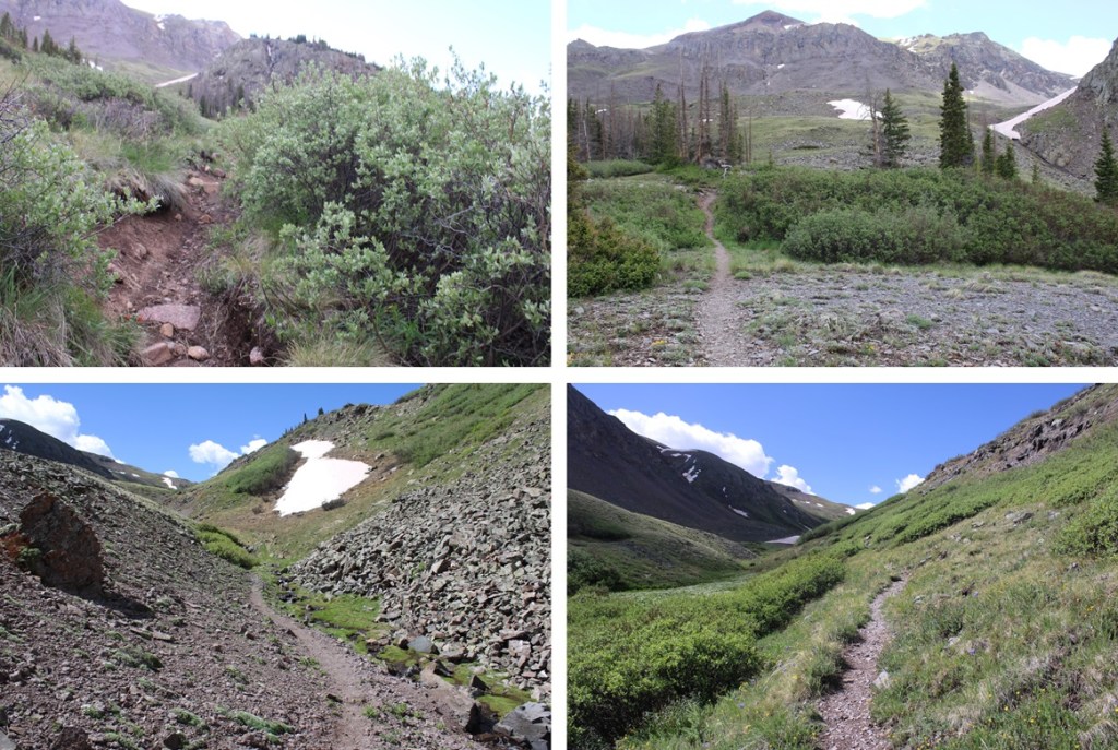
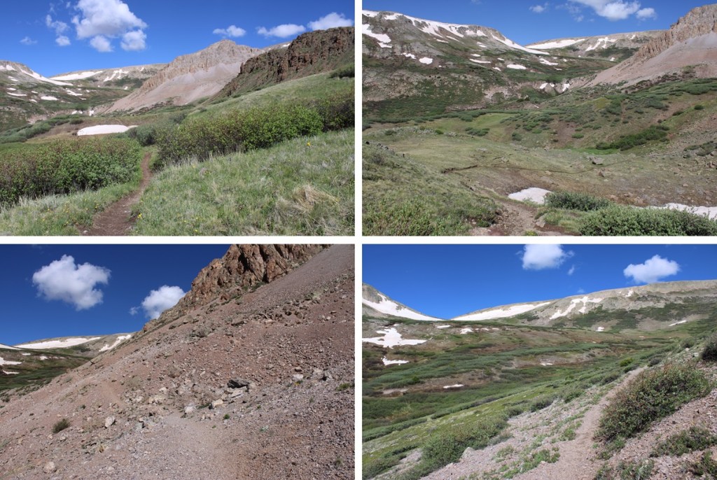
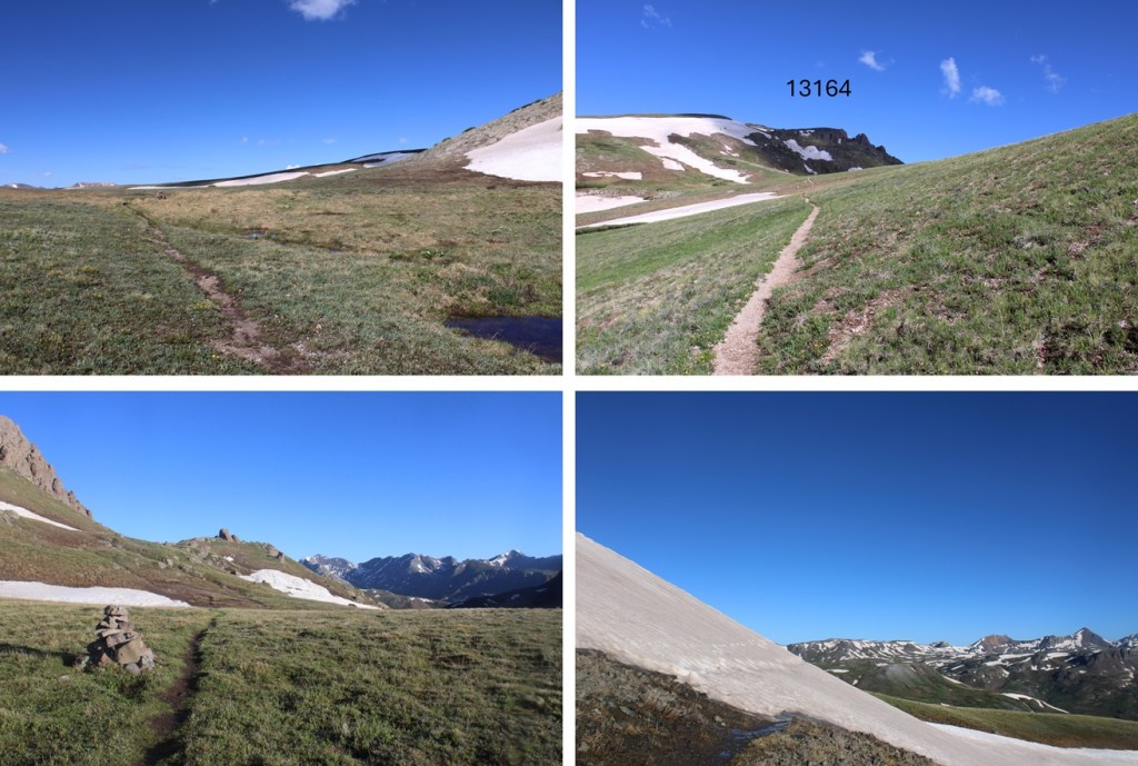
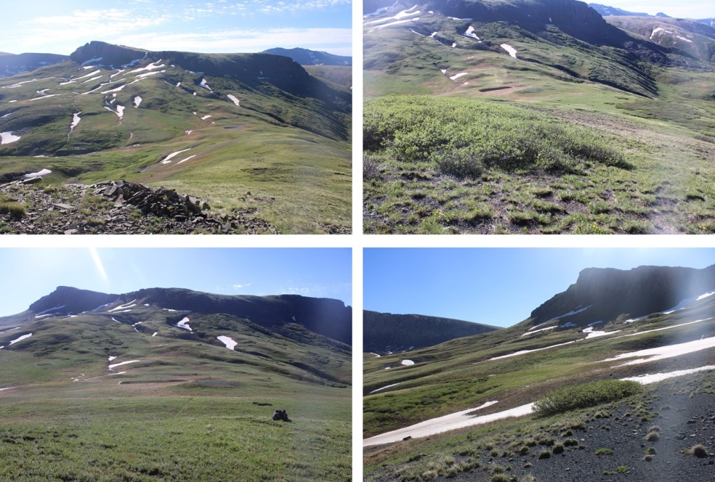
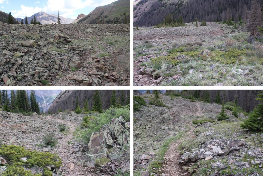
I stayed on the Colorado Trail (East Fork Middle Pole Trail) for most of the rest of the hike. Here are some pictures of the trail.
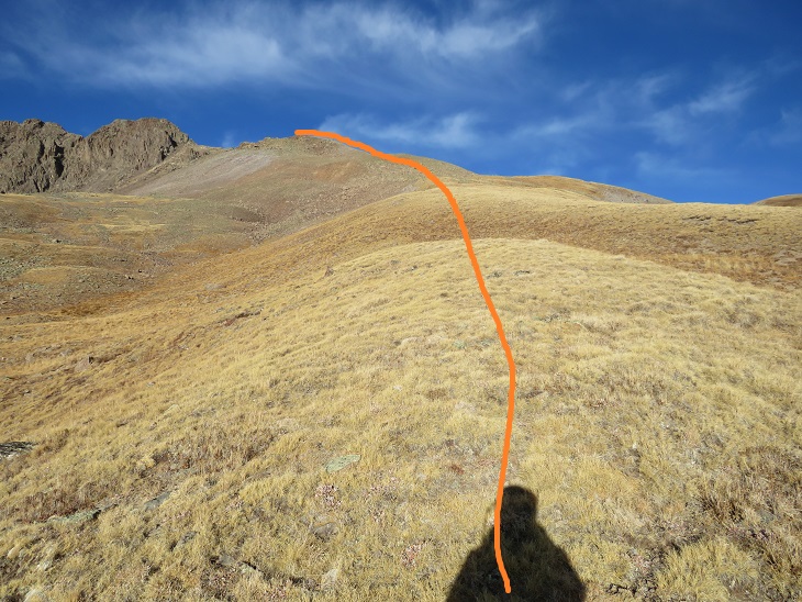
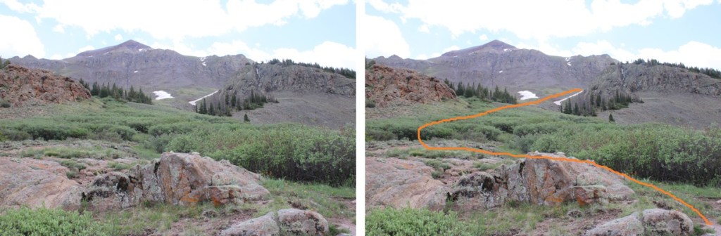
The trail meanders it’s way to a saddle:
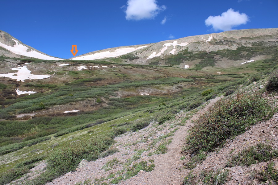
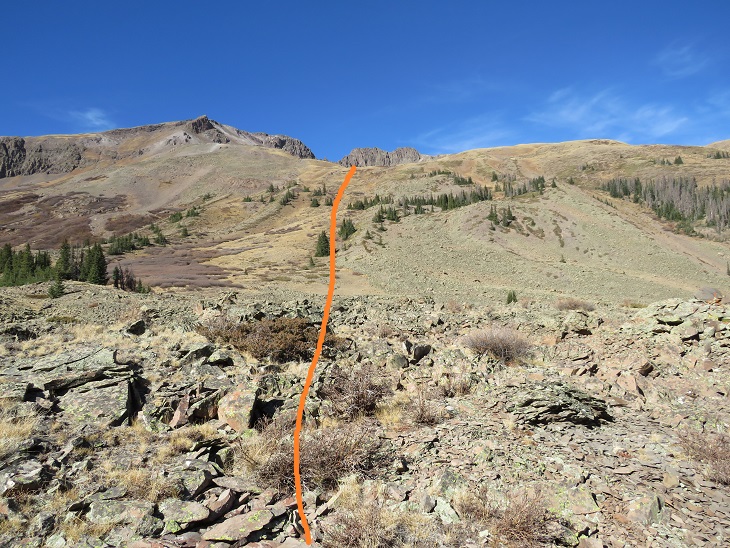
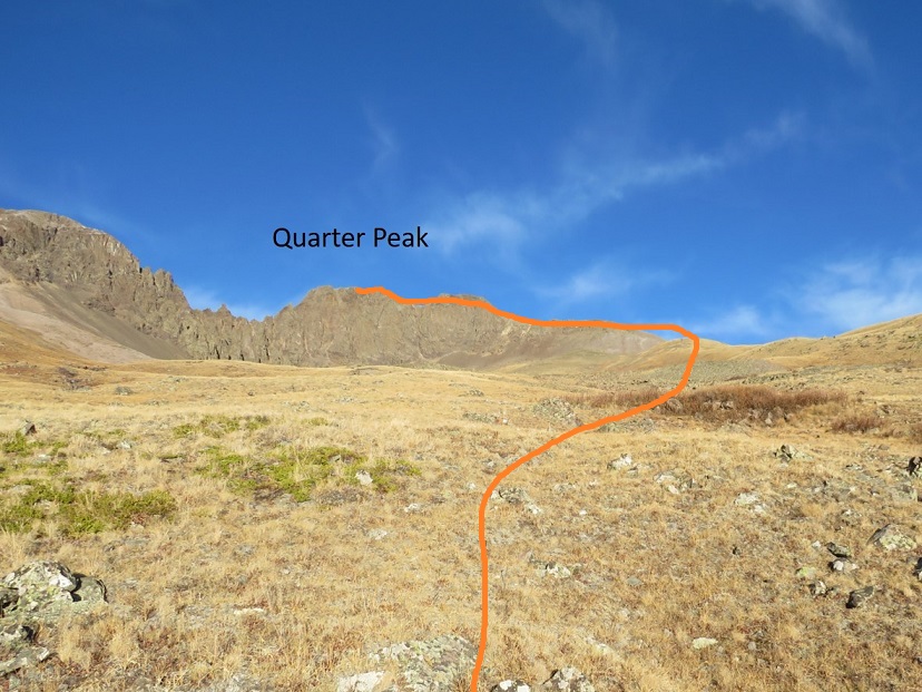
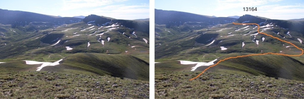
I skirted around the north side of 13164, navigating through a could of ice patches.
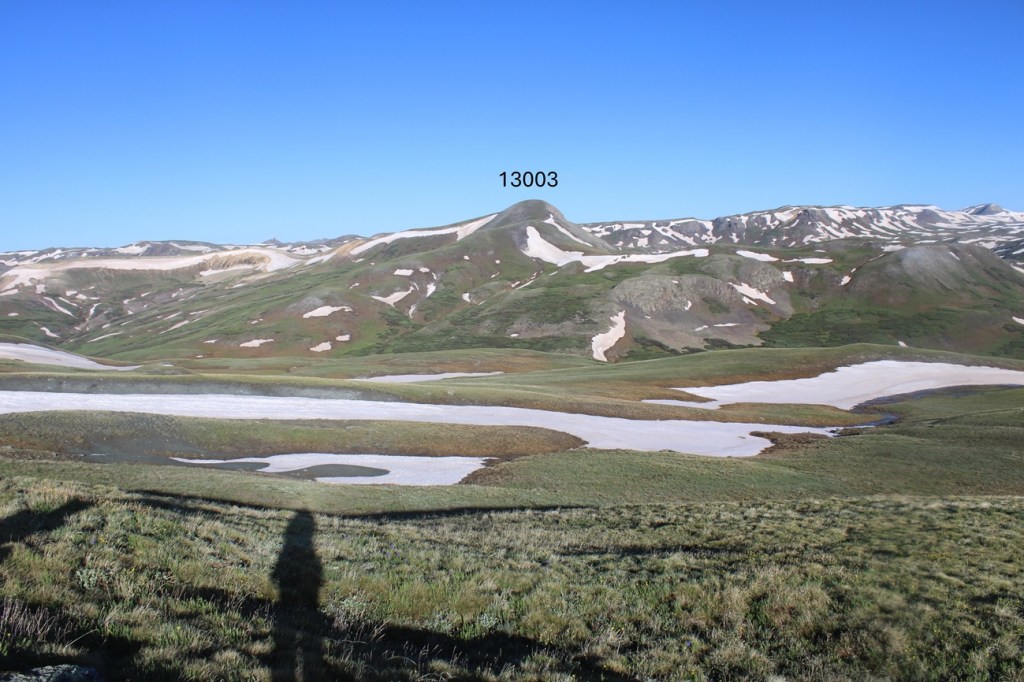
Now on the north side of 13164, I could see 13003 to the west.
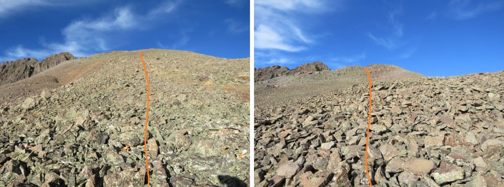
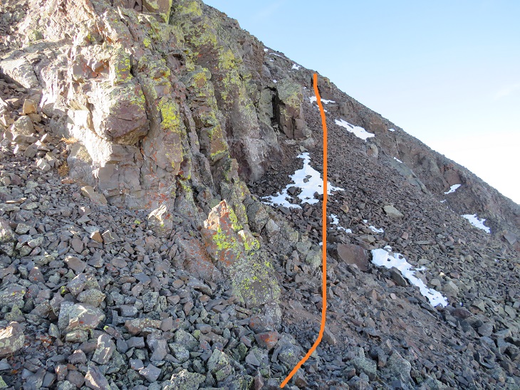
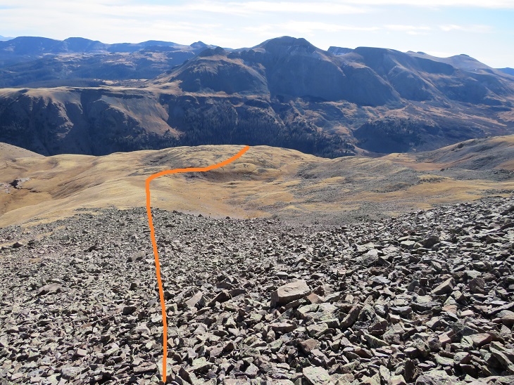
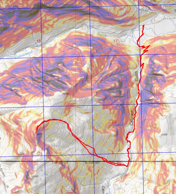
I stayed on the Colorado Trail until I hit the saddle of 13164 and 13003, losing about 500’ of elevation, then left the trail and took the tundra covered ridge to the summit. This is the route I took.
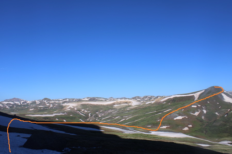
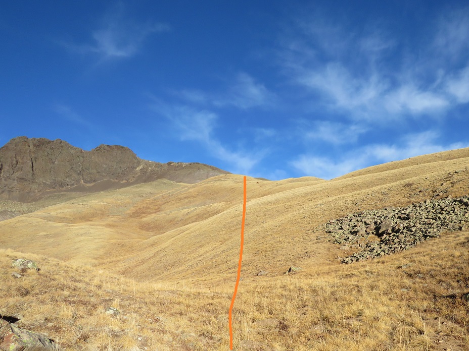
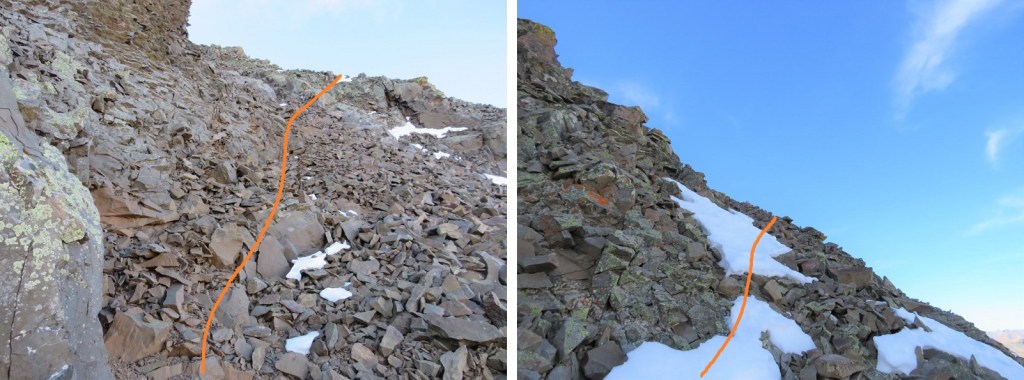
I made my way to the saddle
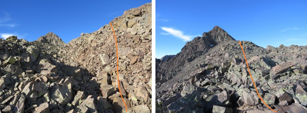
Then hiked the ridge to the summit
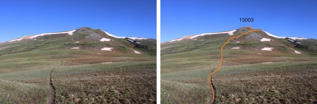

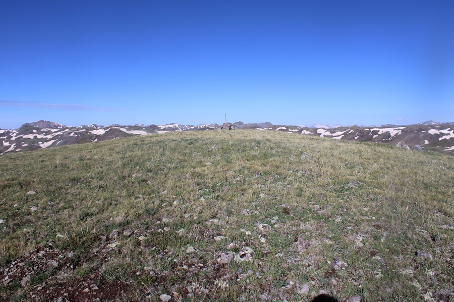
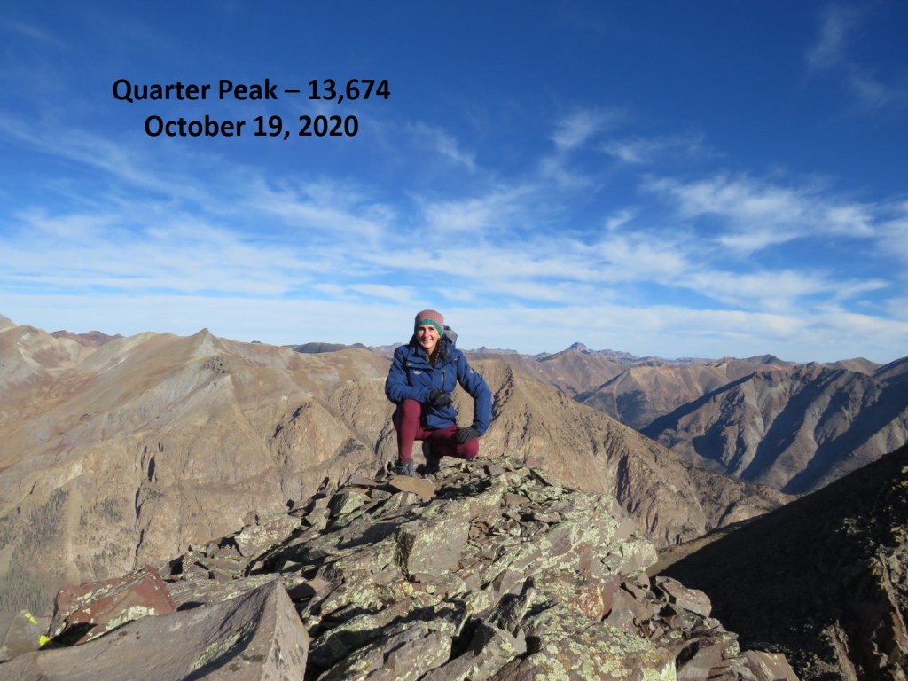
I summited PT 13003 at 8:15am

PT 13003:
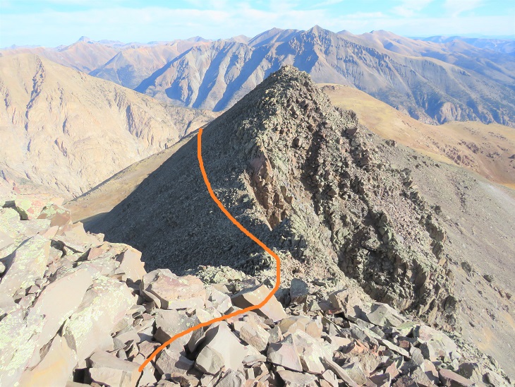
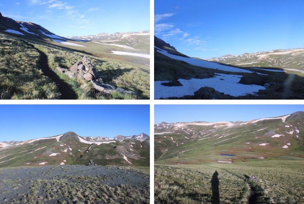
This was an out and back hike for me, so I turned around and retraced my steps. Here’s my route back down the saddle, skirting around the left side of PT 13164, following the Colorado Trail.
I then continued following the trail as it wound back to the Cataract Gulch Trail

Past the lakes and through the upper basin, I kept following the trail, aiming for Sunshine Peak to the north.

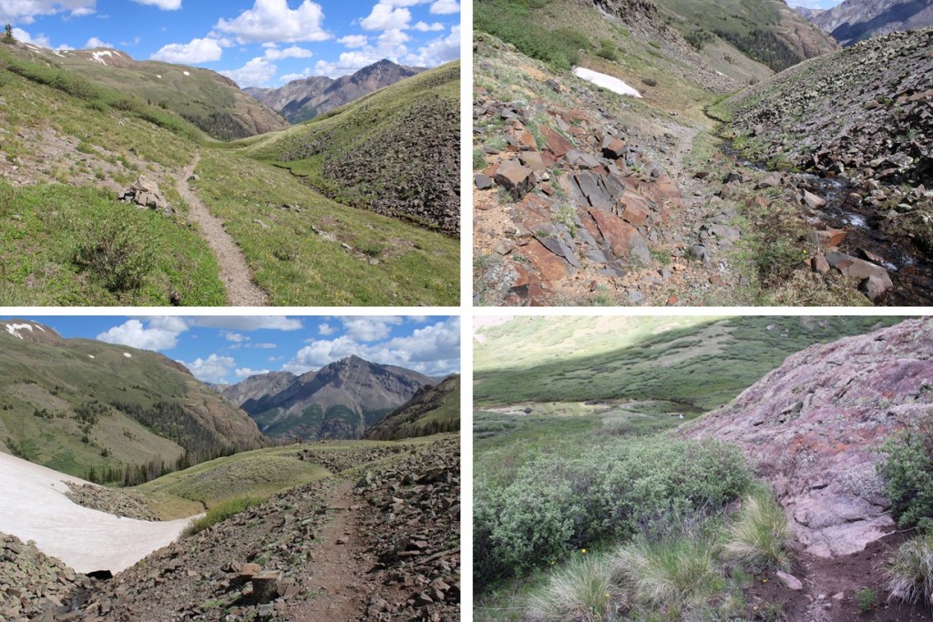
I crossed the creek
Then descended through the rocky basin
I crossed the creek twice more, and then followed the trail back down around the waterfall and back to the trailhead.
I made it back to the trailhead at 12pm, making this a 17.1 mile hike with 4750’ of elevation gain in 8.5 hours. Note: My Strava glitched about 2 miles into this hike, so I drew in my route for this peak on the topo map. This was easy because most of the route was on a trail, so it auto populated. My phone and watch gave me 19.1 miles for the hike, but I got 17.1 miles when I drew the map in CalTopo.

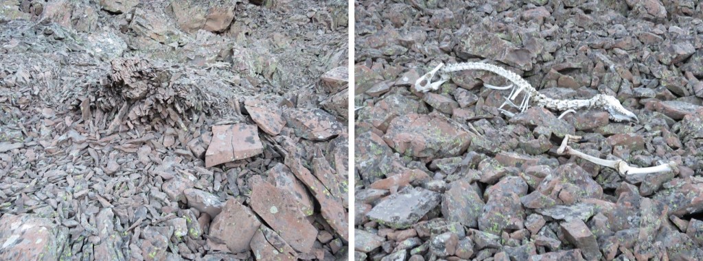
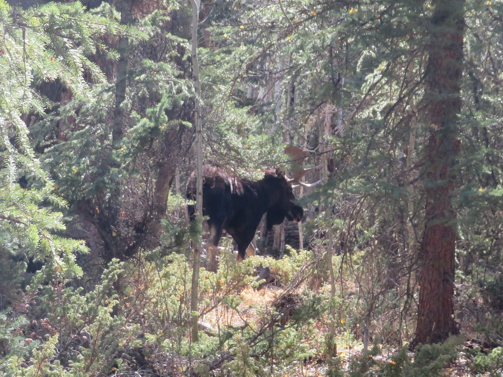
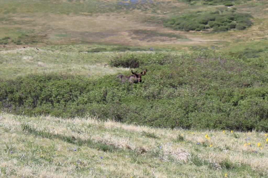
Also, every time I’ve been to Cataract Gulch I’ve seen moose. Today was no exception.
On to the next trailhead!