10th Mountain Division Hut

RT Length: 9.06 miles

Elevation Gain: 1456’

This trip started out as a summit attempt on Homestake Peak, but it ended with an unexpected trip to the 10th Mountain Hut. 

Weather all over the state either had high avalanche danger or high winds, so I settled on hiking Homestake Peak today, with a frigid forecast but only 5-10mph winds and no cloud cover.  Or, so I thought.  I arrived at the trailhead and put on my gear, including snowshoes, inside my truck.

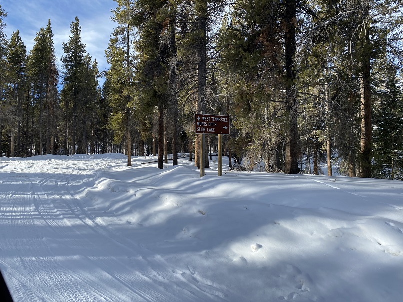
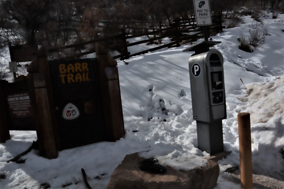
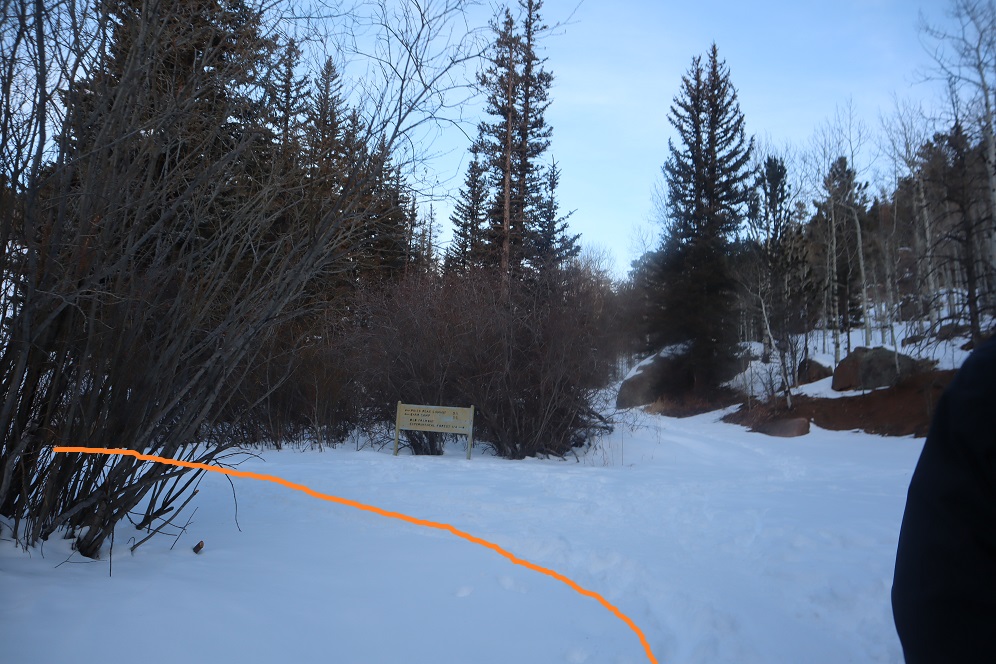
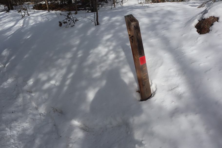
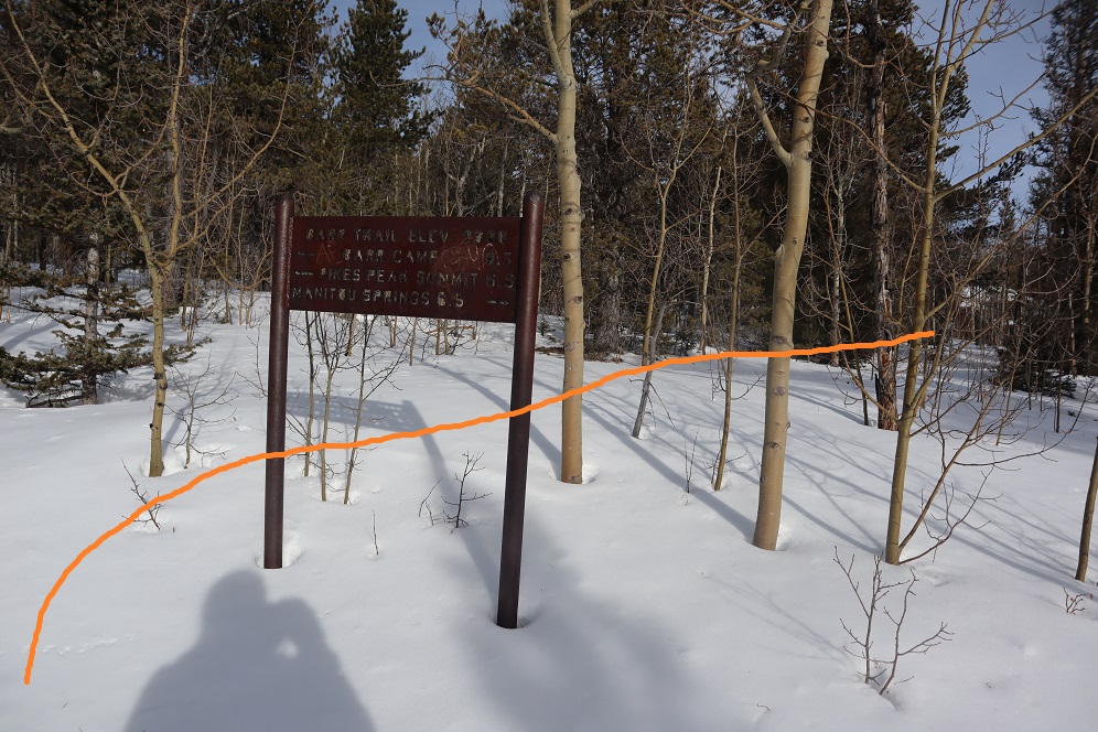
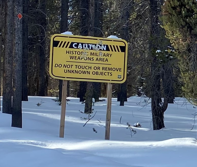
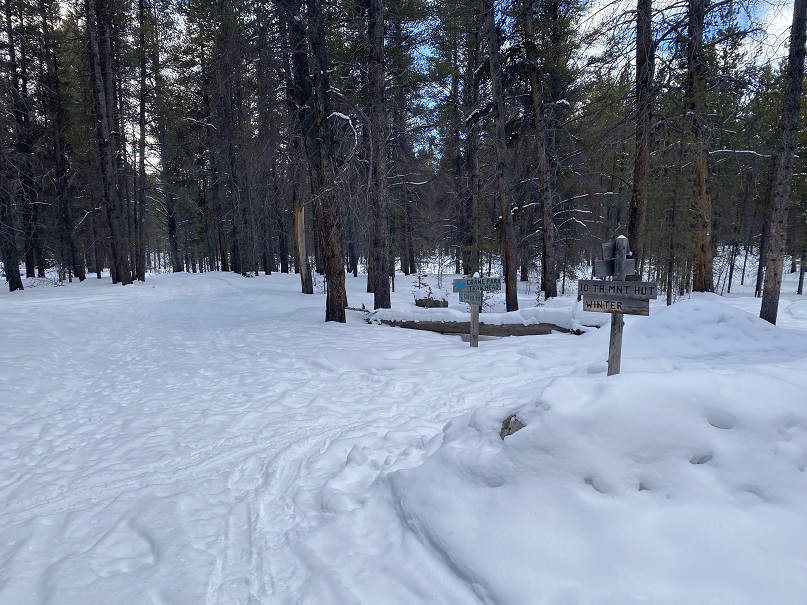
There were some cool signs in the area

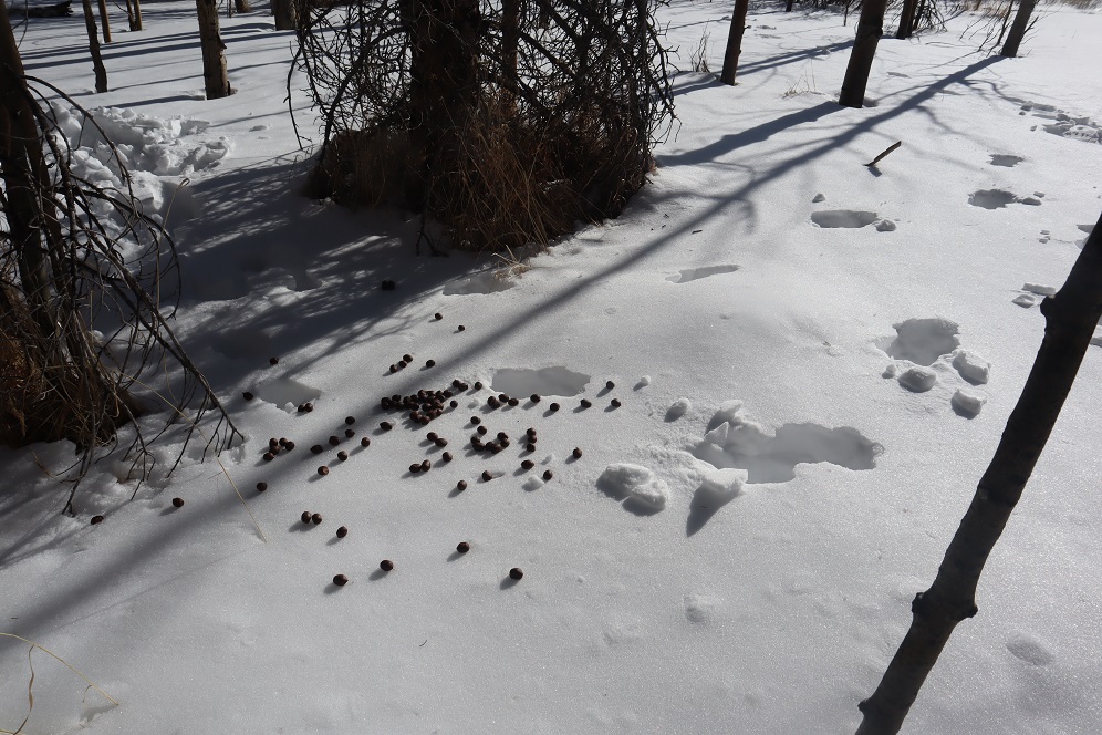
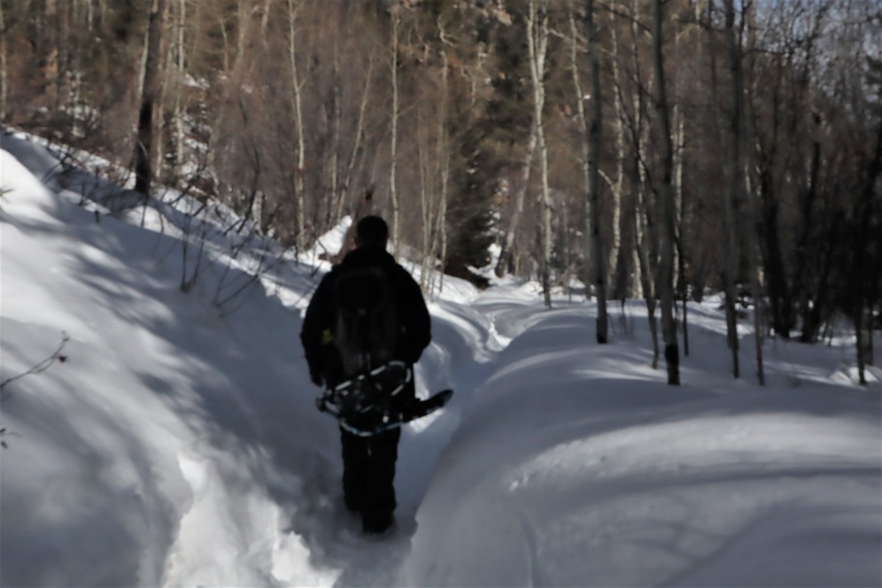
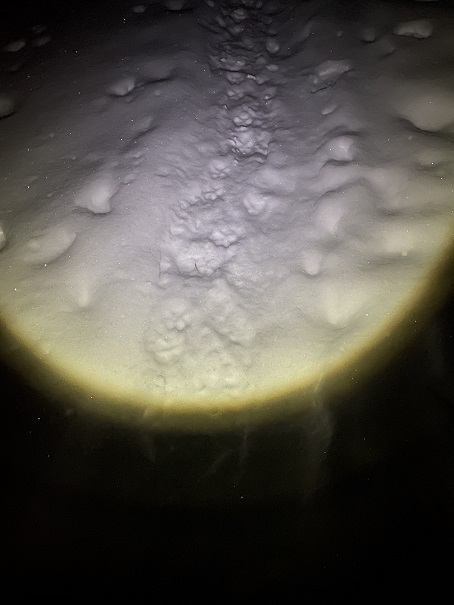
I was on the trail when it was still dark, and noticed tracks coming towards me, presumably made earlier in the night.  I’m guessing they’re coyote

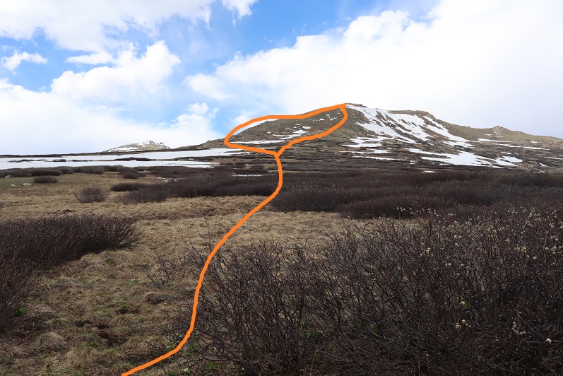
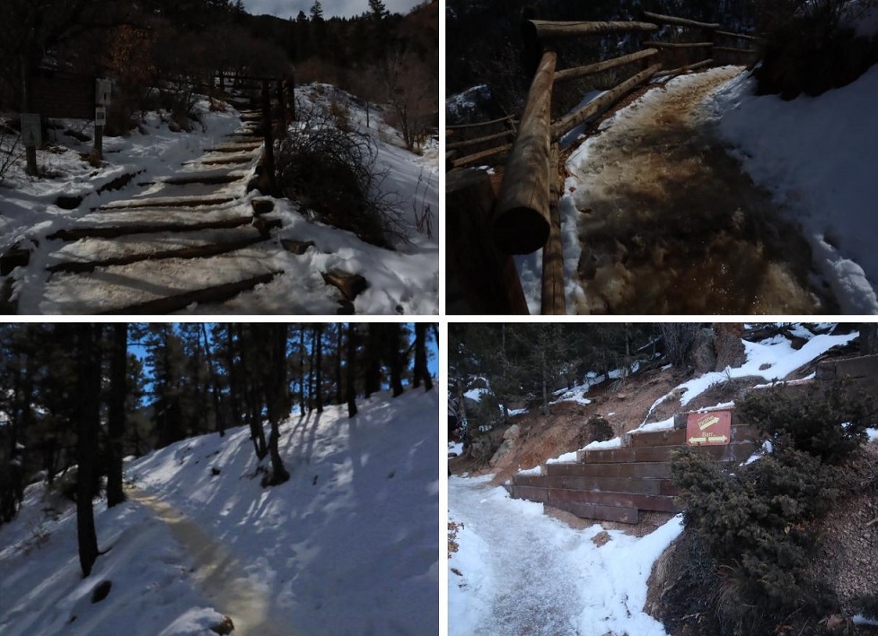
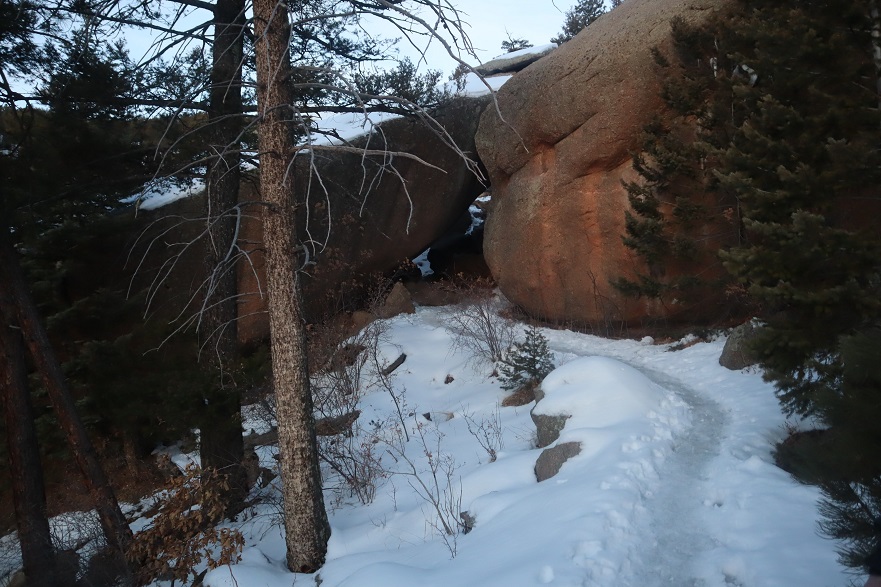
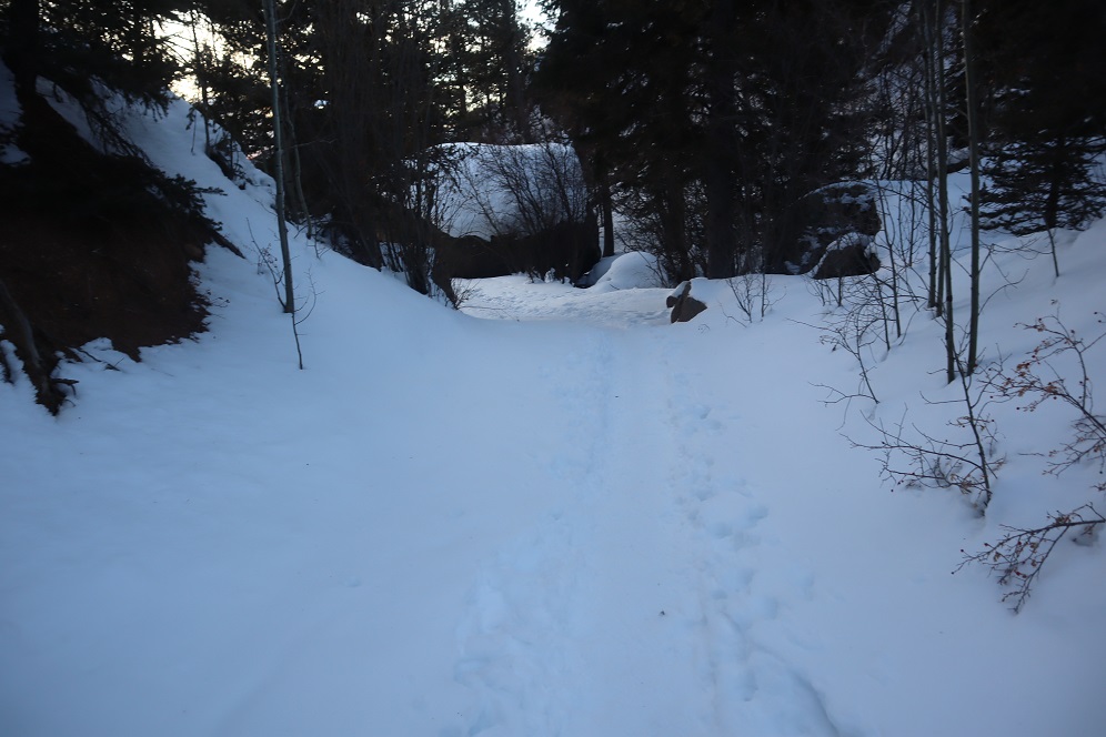
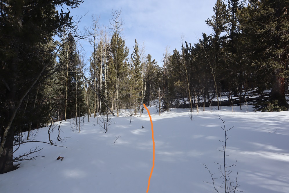
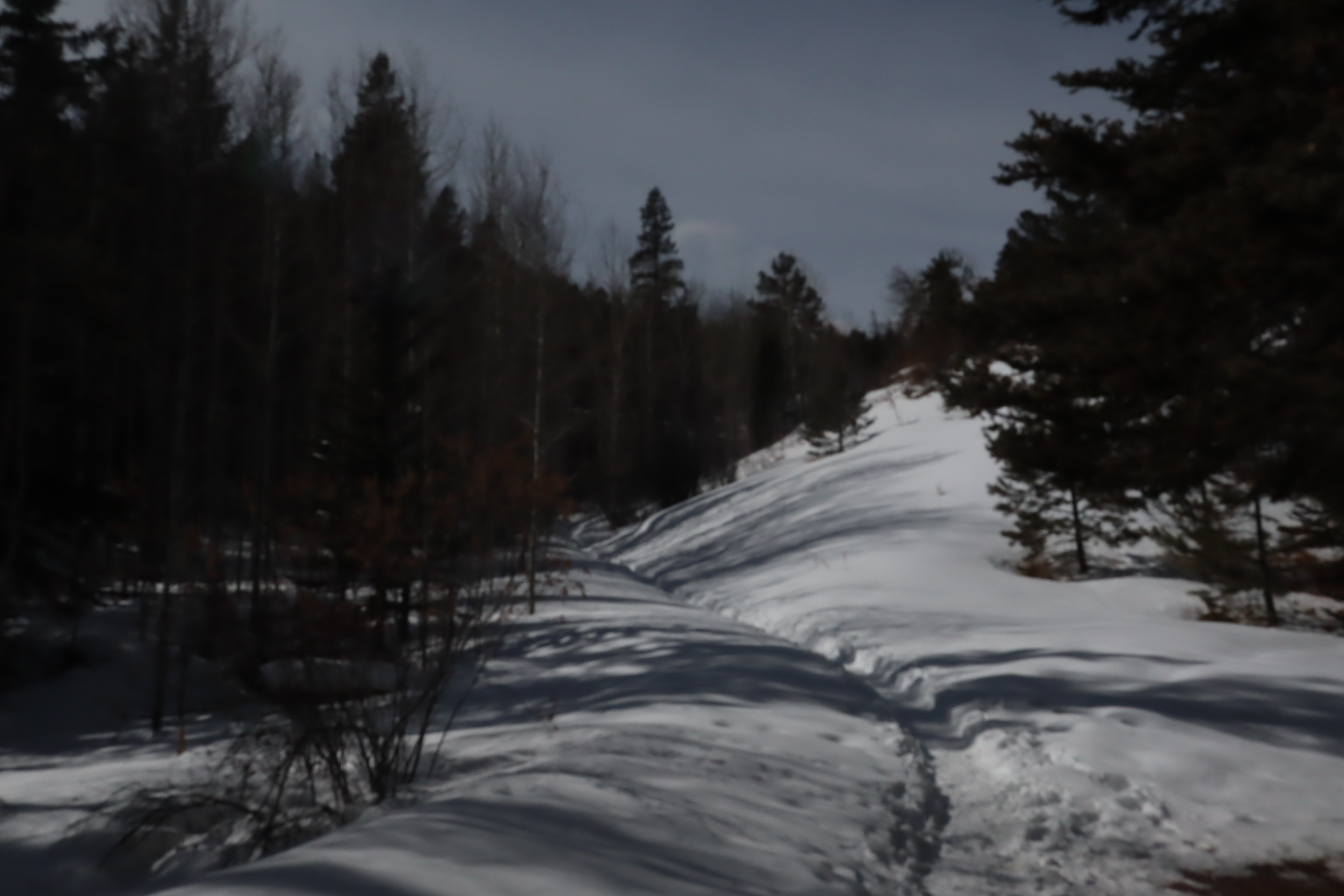
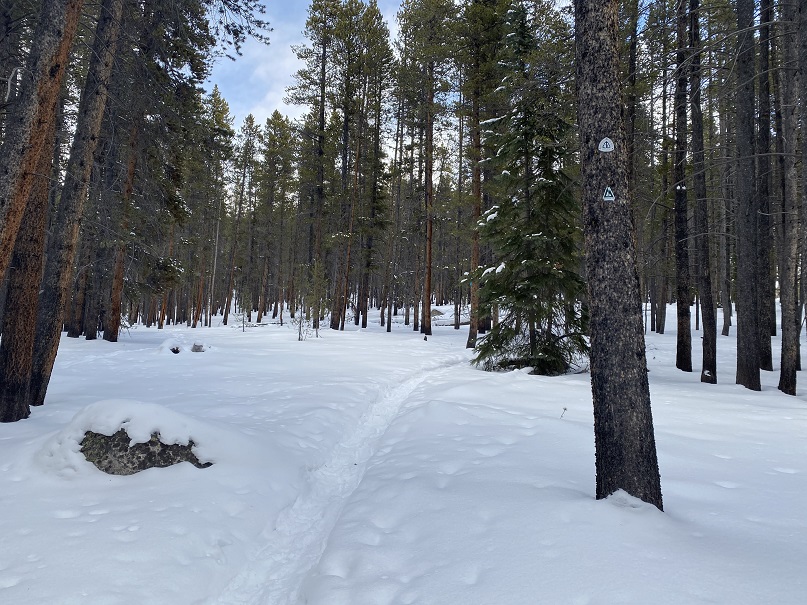
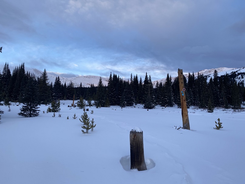
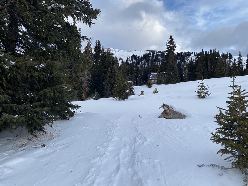
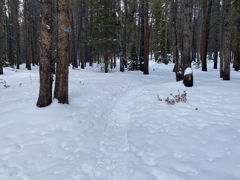
I followed the well-marked trail, using the blue diamond route

And then following the route to the 10th Mountain Hut (still blue diamond/arrows). 

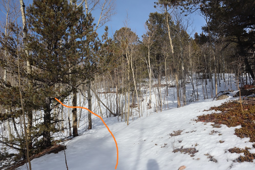
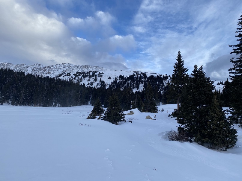
Here I was following the Colorado Trail.  It was just a for a short time, but still kind of cool to be back on the trail for a bit.

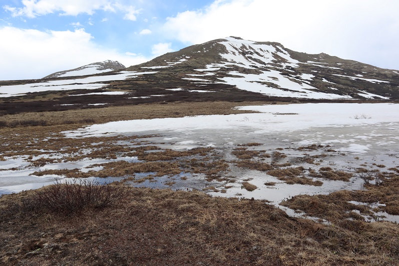
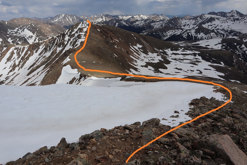
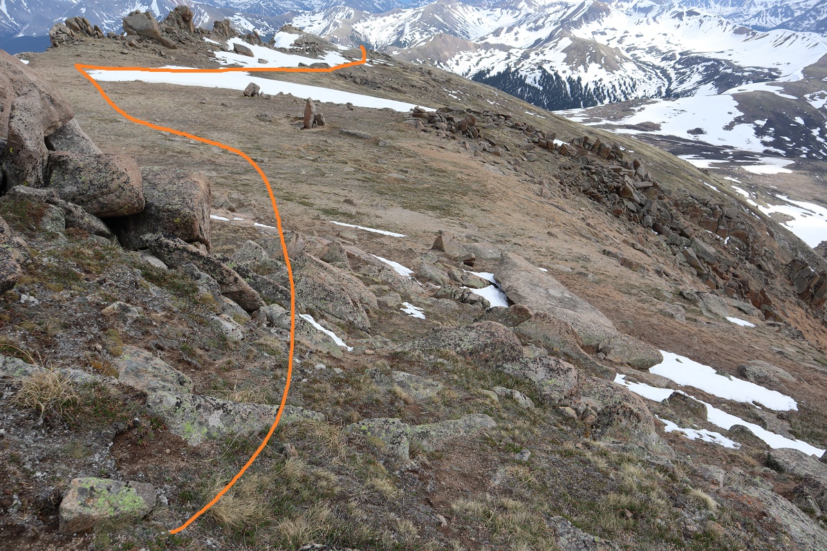
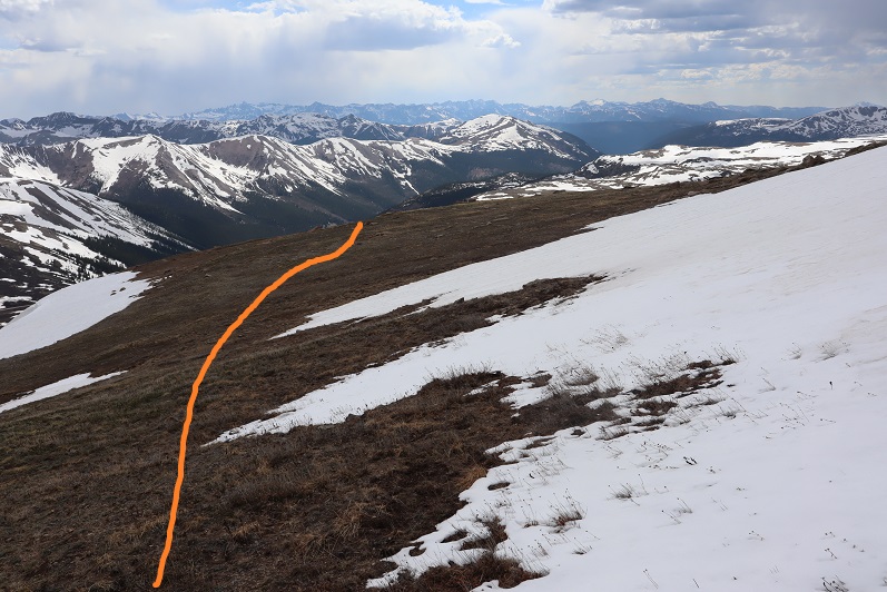
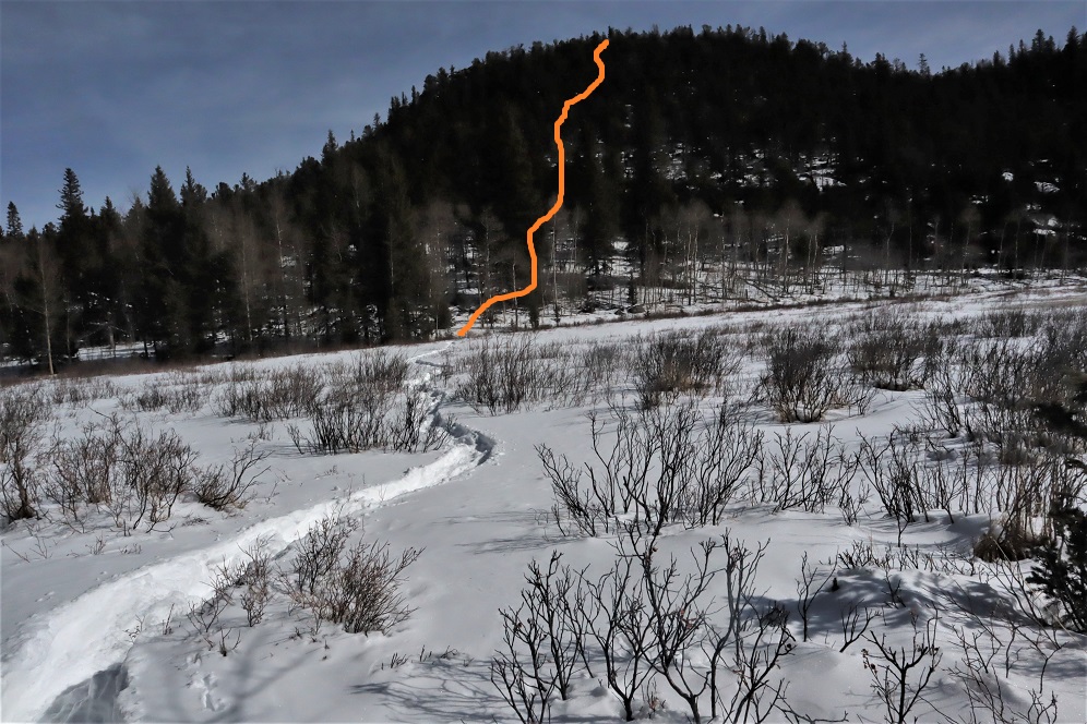
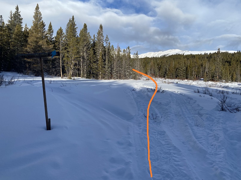
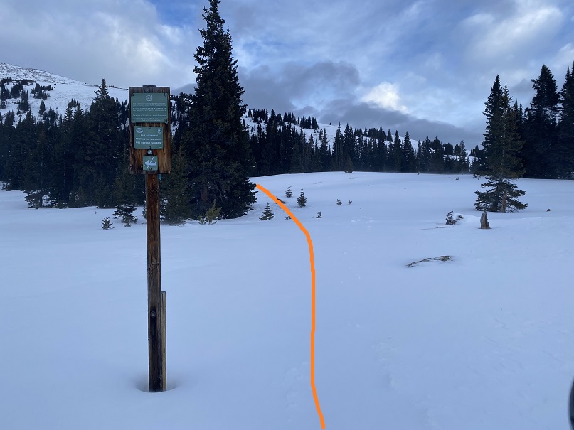
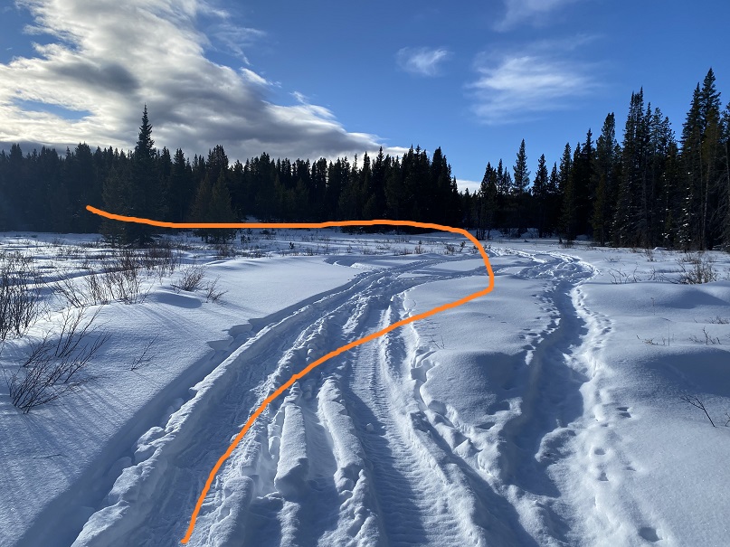
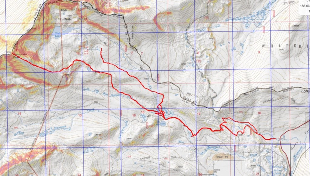
The trail was easy to follow until I came to a meadow.  I was supposed to take the route outlined below, but the snow was too soft in the willows. 

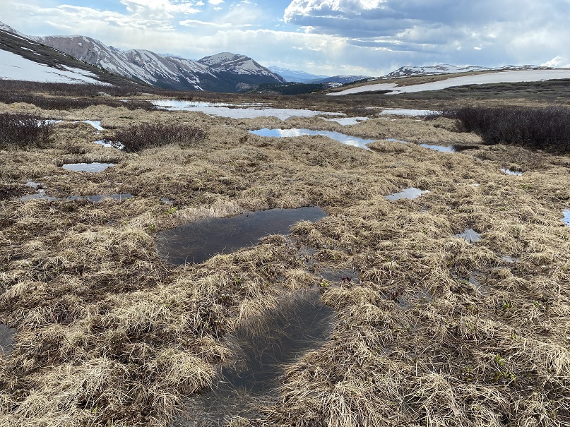
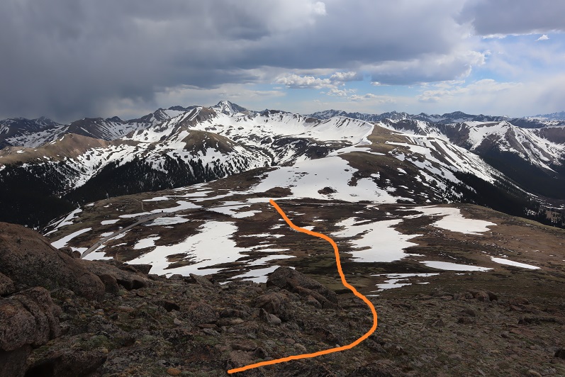
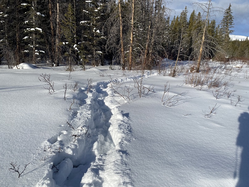
I ended up zig zagging back and forth, trying my best to follow deer/elk tracks.  I kept falling into invisible streams covered in several feet of snow.    At one point my phone froze and I was unable to unlock the screen to see where I should have been going.  My stylus wasn’t working in the cold either.  Several times I sank up to my chest in snow, and after the third time getting my snowshoe caught in debris that immobilized me I decided to call it and head back to the trail.  I wanted to try to find another way to summit:  the conditions in the marshy area were just not safe. I could see myself twisting an ankle or breaking a leg on this route.  Here’s my route out of the willows. 

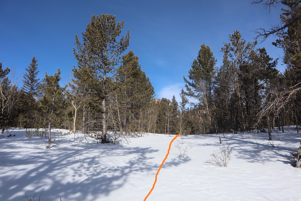
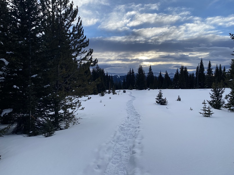
I didn’t want my day to be over, so I decided to follow the tracks to see where they led.  They continued to follow the blue diamonds. 

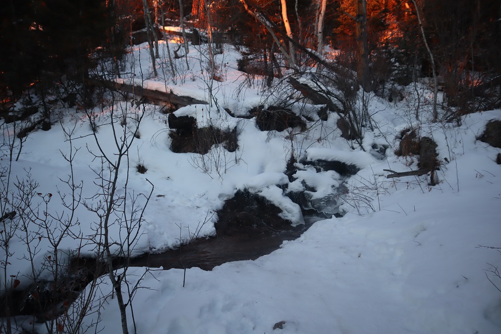
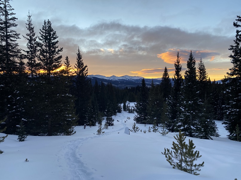
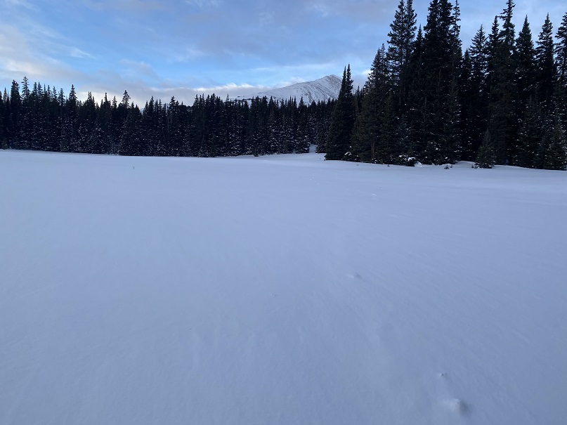
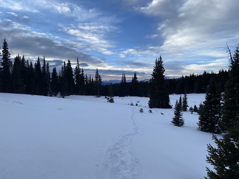
Right about now the sun was beginning to rise, and I could see it wasn’t going to be a cloudless day.  The clouds made for a beautiful sunrise though!

As the sun rose the wind picked up.  I could see snow swirling all around me, which was pretty cool.  I also knew I needed to be more to the southwest if I wanted to attempt Homestake Peak today, but every time I tried to cross the snow and head southwest I sank up to my chest in the snow.  That snow was seriously deep, and sugary.  I’d need skis to attempt a safe crossing (I don’t own skis). 

I could also tell the clouds were increasing, and by looking at how fast they were moving, they weren’t going 5-10 mph (more like 40mph or so).  Here the well trenched trail ended, but I could see a faint line of where it had been a few days ago and decided to re-trench the trail to see where it went. 

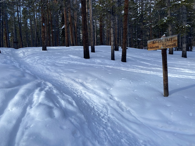
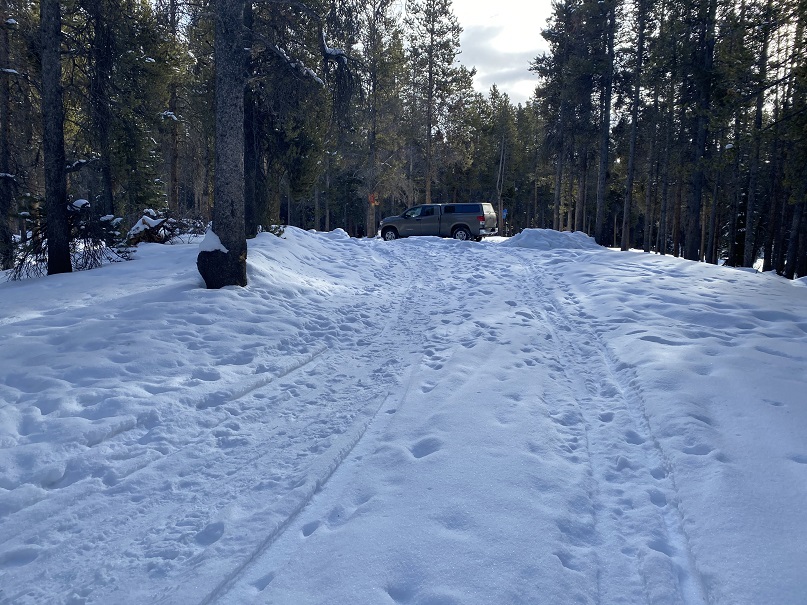
I came to a small sign, stating no snowmobiles were allowed past this point, and continued heading northwest.

Just after the sign I came to the 10th Mountain Hut!  So cool! 

I wanted to take a look around, but as I got closer I could see people moving about inside and decided to leave them be.  They looked like they were packing up to head back out.  They must have trenched in on Friday, and I’m sure they’d be excited when they noticed I’d re-trenched their way out. 

Heading back was easy, as I just followed my tracks

I made it back to my truck at 9:15am, making this a 9.06 mile hike with 1456’ of elevation gain in 4 hours

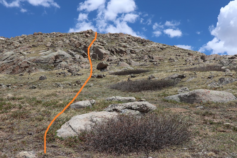
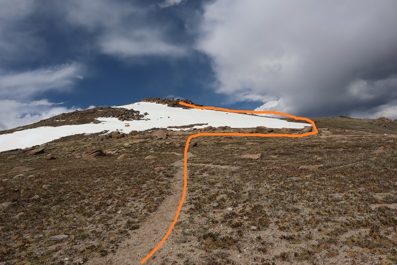
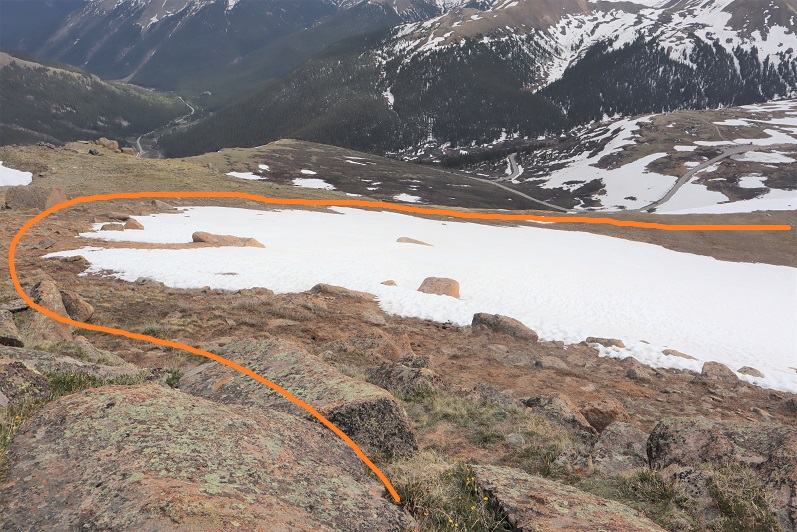
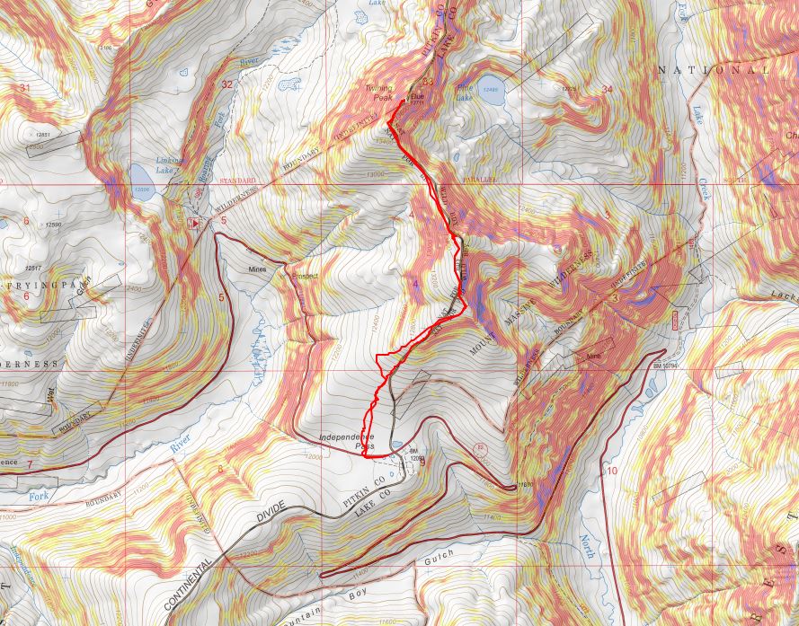
Here you can see my intended route (bottom) and the route I actually took (top)

As I drove home the winds became more intense.  There were semis parked on the side of I70, waiting out the wind.  Yes, it had been a good idea to switch directions today.  While any day out hiking is a great day, I wasn’t happy with today’s stats, so after making it home I hopped on the treadmill. 

Pt 13500 & Twining Peak – 13,711

1

RT Length: 5.39 Miles

Elevation Gain: 2443’

After summiting Sayres Benchmark I noticed the day was still nice and I had plenty of time to spare so I drove to Independence Pass to try my hand at Twining Peak. I’ve already been here once this year after another hike, but the conditions weren’t… favorable. Lots of wet marshy mush to get through to the good stuff, and I don’t like hiking with soggy socks.

When I got to the Independence Pass parking area I backed in my truck and took a look around. Yep, it was still marshy.

2

The weather looked good, and I could see a clear line to the ridge. I decided to gather all my gear (crampons, ice axe, snowshoes, new socks, etc.) and hit the trail. I walked west along HWY 82 until I reached this sign, which happened to be where the snow ended. From here I turned right (north) and headed for the ridge.

3

Yes, this was still marshy, but I could avoid the snow and getting my feet wet with careful navigation. I aimed for the ridge, intending to see what the basin looked like before determining if I would summit first via the 13500/Twining saddle or go over 13500 instead.

4

When I made it to the ridge I looked over at Twining Peak. If it were earlier in the day I would have crossed the basin and gained the saddle first (as outlined below).

5

However, it was now almost 2pm and I knew that snow was soft. Yes, I had snowshoes, but no, I didn’t want to posthole with them through the basin. So instead I turned right (northeast) and followed the ridge to 13,500. This was all class 2

6

7

There seemed to be a bit of a trail in areas that went straight up through the snow. I didn’t want to do that so when I encountered snow I just went around it. This is an easy ridge to follow.

8

9

There was a little bit of rock hopping, all class 2, and easy fun. The boulders are big and pretty stable. Just hug the ridge to the left and don’t try to go straight over the ridge and you’ll be fine.

10

11

Here’s the last bit to the summit

12

I summited at 2:15pm

13

Pt 13,500:

There wasn’t a summit register. Turning northwest I could see my path to Twining Peak

14

This was an easy ridge walk, with a little easy rock hopping and the snow was totally avoidable

15

16

The tundra changed to rocky terrain

17

There was some snow on the last section. I decided to drop to the left and find a gully to summit, but I wouldn’t recommend that route: the gully was loose and on my way back I found out the snow was actually solid near this boulder, so I should have just summited by walking across it.

18

Summit of Twining Peak

19

I summited Twining Peak at 3pm

20

Twining Peak:

The weather was starting to turn; I could see rain showers all around so I didn’t stay long on the peak. I put on my jacket and headed back down, this time going over the snow and large boulder I’d gone around on my way up.

21

And back down the ridge, sticking to the right to avoid the snow

22

23

24

I re-summited PT 13,500 as it was lightly snowing.  There was a young man at the summit who was super excited: this was his first 13er! He’s never gotten this far before on this peak, and he was excited.  He wanted to know what all the peaks were that we could see, and I obliged him for a bit. Also introduced him to 14ers.com because he’s interested in tackling more 13ers and 14ers (please be nice).

I headed back down the ridge

25

Unfortunately, at about this time I saw a flight for life helicopter whiz by. Never a good sign. Later, as I was driving back down HWY 82 I saw a police officer and a tow truck driver putting a motorcycle on the back of the tow truck, lots of lights flashing, no other vehicle/animals involved.  Ouch. I sincerely hope everyone is ok. Also, the accident happened in a straight area of the HWY, so I don’t think HWY curves were involved. In any event, please adventure carefully!

26

I took a slightly different path on my way down than I did on my way up, as I could see a clearer path that avoided marsh/snow

27

28

29

I eventually came upon a trail, but it led to snow/marsh, so I avoided it and went back down the ridge

30

The nice thing about this hike is you can see your vehicle for most of it, and at a minimum HWY 82, so it’s difficult to get lost. I just aimed for the road, avoiding the snow/mush

31

32

Here’s an overview of my hike up to the ridge and back down more to the center (after realizing the basin wasn’t something I wanted to experience today)

33

I made it back to my truck at 5:45pm, making this a 5.39 mile hike with 2443’ of elevation gain in 3.5 hours. Please don’t judge the time: I’d already hiked 12.5 miles and 4652’ of elevation this day and I was a bit tired; this hike can most likely be done faster.

Here’s a topo map of my route

34

OK, on to the next trailhead!

PT 10245

1

RT Length – 14.15 miles

Elevation Gain – 4000′

Time – 7 hours

After our misguided attempt at PT 10245 a few weeks ago we really wanted to summit this peak asap, but the weather wasn’t cooperating and my cookie deliveries kept getting in the way. Finally, today seemed like a good day to try it again.

We arrived at the Barr Trail parking lot at 5:30am and were on the trail by 5:45am. The parking situation is the same as last time: $10 via card at the kiosk.

2

From the beginning microspikes were necessary. We kept them on for the entire hike.

3

The creek just after the Barr Trail / Incline turnoff was flowing nicely

4

The ‘cave’ had some snow

5

Just before the experimental forest, where the path was all ice 2 weeks ago it was now covered in several inches of snow and nicely trenched. This made it much easier to navigate.

6

We turned left at the experimental forest and continued along the well trenched Barr trail.

7

Past mile marker 5.5

8

Here’s where we messed up last time: We had gone all the way to Barr Camp (6.5 miles) and at the advice of the guy staffing Barr Camp took the trail just after Barr Camp, ending up at AdAmAn Peak instead of PT 10245. To be fair, the routes are strikingly similar, and while AdAmAn is unranked, it is taller than 10245 at 10405′. This time we were prepared and looked for trail 671, which is about a mile before Barr Camp. This is where we found it:

9

I’m sure there’s an actual trail here, but today it was covered in snow and not detectable. We put on our snowshoes and got ready to trench. At the above sign we left the Barr Trail and headed right (north), trenching our own trail, skirting the rock formation to the left

10

and heading down a small hill, losing about 200 feet of elevation before coming to a creek and turning left (northwest).

11

Here I was able to pick up the trail again anf followed it around the creek. Please note, this was NOT South Fork French Creek, but a willow filled off shoot.

12

13

14

We followed the ‘trail’ until it seemed to end. We were just about parallel with AdAmAn peak at this point. Here we turned right (northeast) and could see PT 10245

15

We were going to have to cross an aspen grove to get to the peak. When we were right in the thick of it Steffen said: “This looks like the type of place you’d see a moose” and about 2 steps later we saw evidence a moose had spent the night here. In fact, on our way back we saw moose tracks going over/through our trench, so we must have scared him/her away with our approach.

16

Once past the aspen grove we were in the willows. I’m pretty sure this is where we crossed French Creek, but it was frozen and covered with snow so all we saw was a marshy area. Trenching here wasn’t fun: I sank up to my thighs several times. Here’s the path we took through the trees to the summit

17

There were large boulders everywhere, and a band of boulder piles to the right that weren’t climbable. Sticking center left of the mountain seemed to work well.

18

At several points we wanted to take off our snowshoes, but then we’d encounter snow that made us thankful we hadn’t. The summit was located to the left, at the mountain’s northernmost point. There was a cairn indicating the summit. We sumited at 9:50am

19

There were beautiful views of Pikes Peak, with AdAmAn Peak below (the pile of rocks in the center of the photo).

20

We took summit photos

21

22

and headed back down, solidifying our trench

23

back through the willows

24

and to Barr Trail, where we took off our snowshoes and continued our descent. The trench on the trail was indeed deep in places, and microspikes were still appreciated after the incline cutoff.

25

26

We made it back to my truck at 12:45pm, making this a 14.15 mile hike with 4000′ of elevation gain in 7 hours. I got a bunch of pictures on the way back, but unfortunately I’m still learning how to use my camera and it had been stuck on ‘program’ mode for the entire hike down, making my pictures all dark and fuzzy. We gave each other a high-five at the bottom, glad to be able to say we’d actually summited the correct peak this time. Check off another El Paso County Highpoint! Here’s a link to the GPX file, for those interested.

Screen Shot 2020-02-17 at 8.15.28 AM