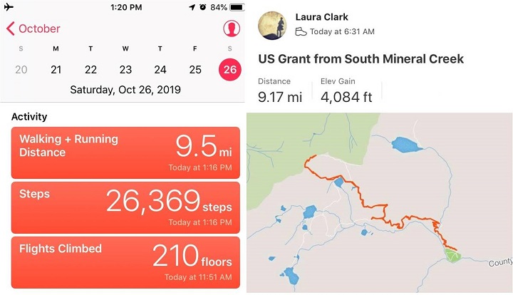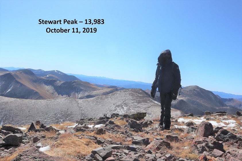
RT Length: 9.5 miles
Elevation Gain: 2300’
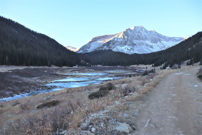
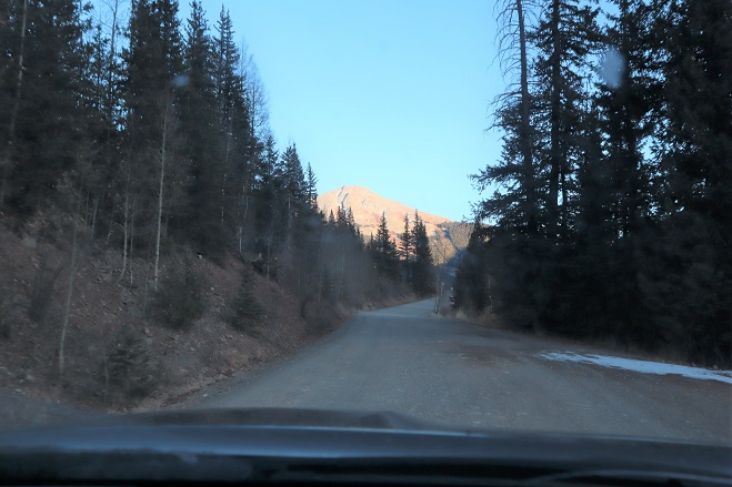
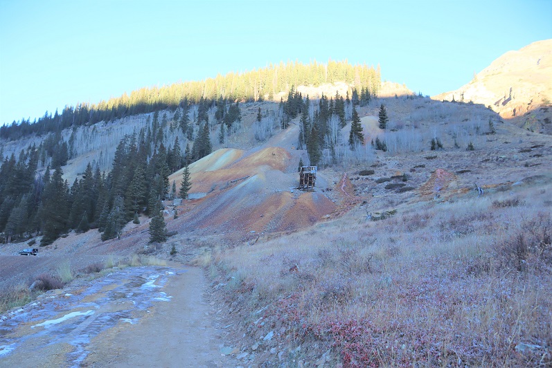
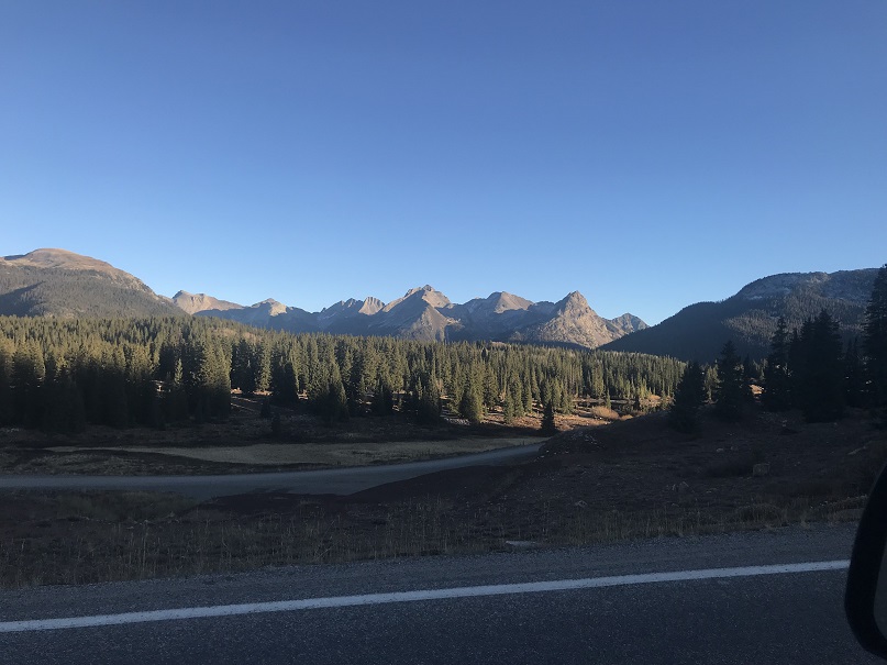
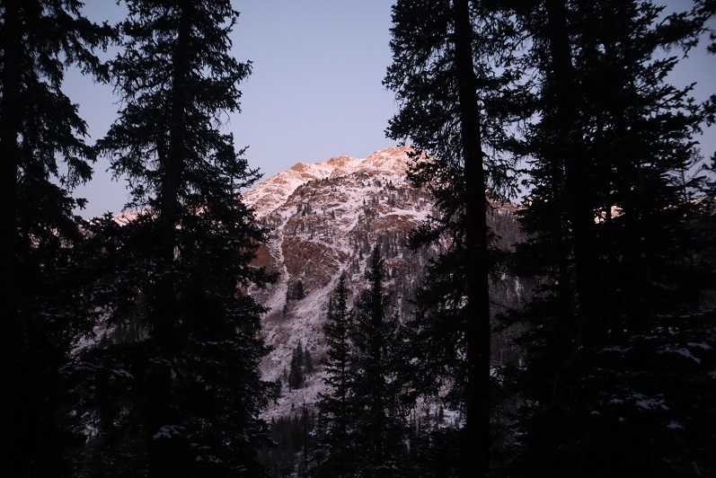
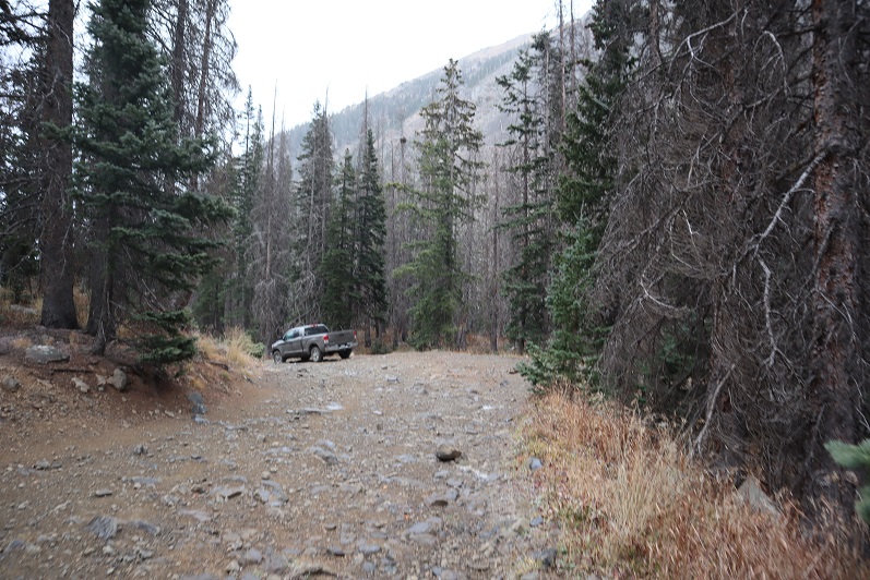
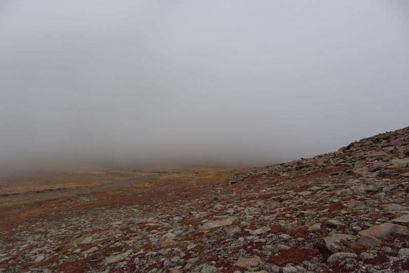
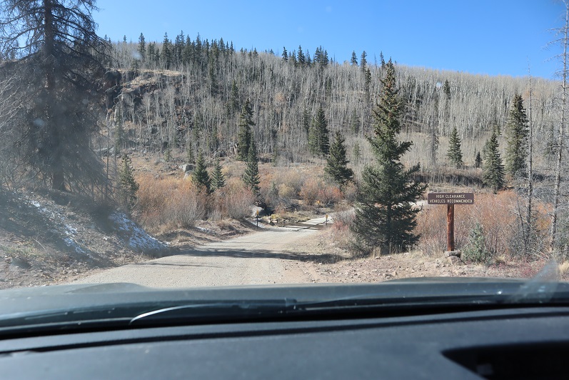
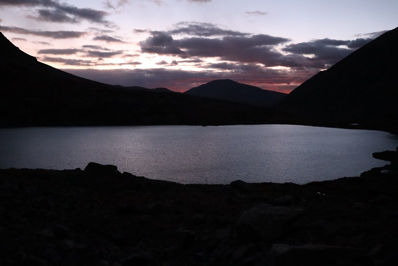
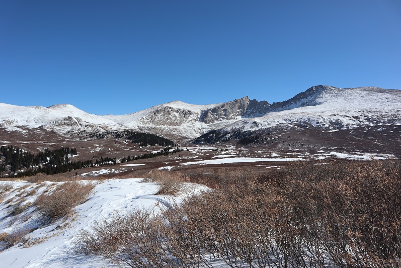
Surprised they hadn’t yet closed Guanella Pass for the season, and with the only above treeline forecast for peaks I want to climb that didn’t have forecasted “blowing snow and blustery winds” I decided to try to get in this bicentennial before they closed the road. The drive up was icy so I took it slow, arriving at the Guanella Pass trailhead at 6am.
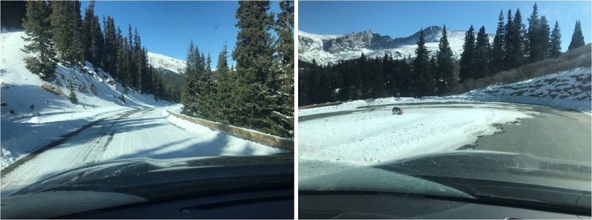
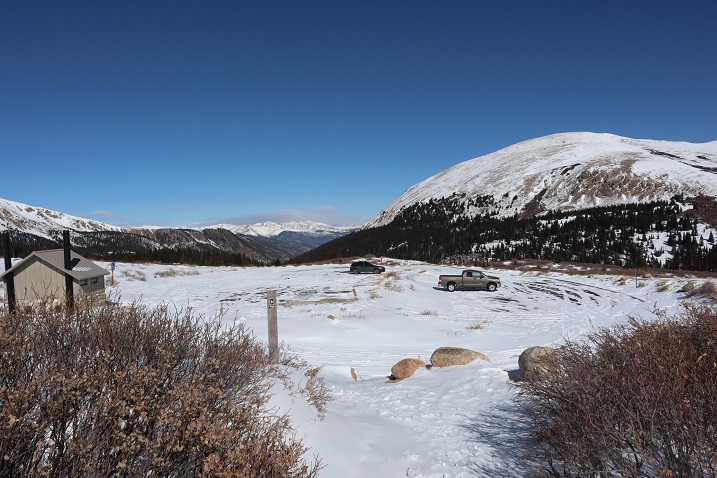
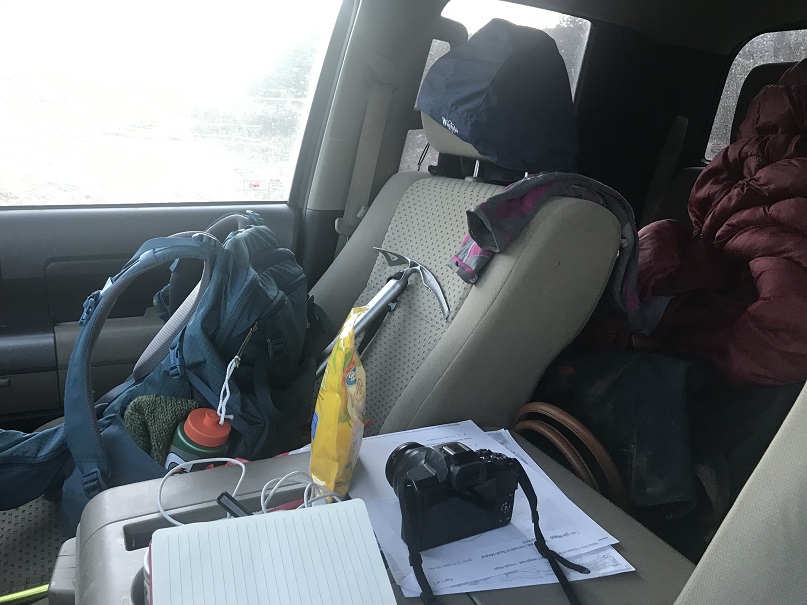
It was windy and cold and windy. Did I mention it was windy? I got ready in my truck, put on my snowshoes, and sat in the front seat, willing the wind to stop blowing my truck back and forth. It didn’t, so I decided as soon as it was light enough where I didn’t need a flashlight I’d be on my way. Today’s hike was short and I wasn’t too worried about time.
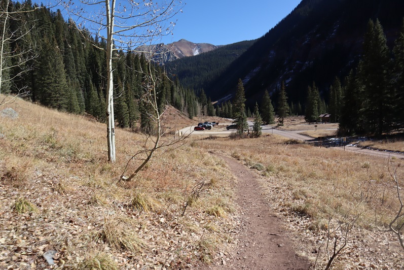
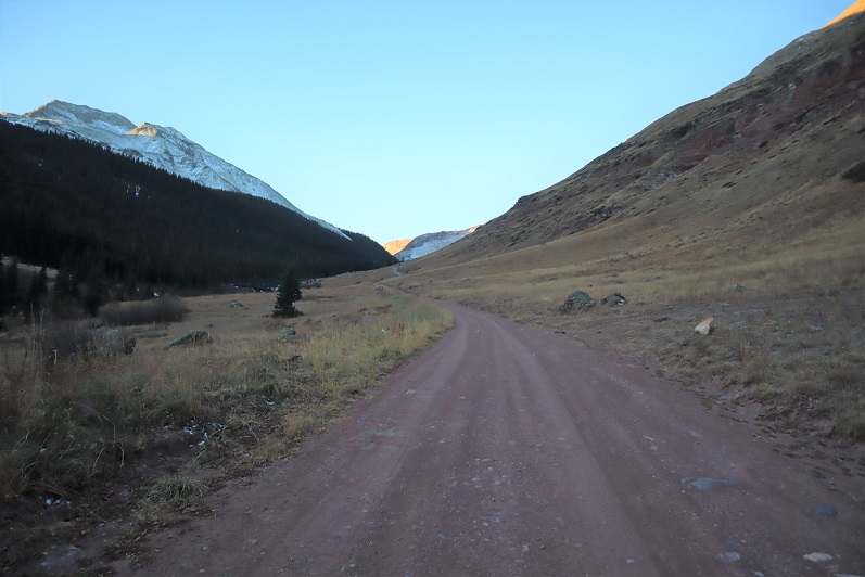
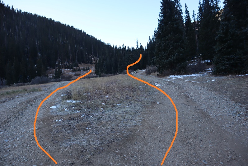
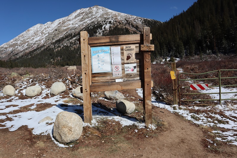
I started from the south end of the parking lot at 6:40am

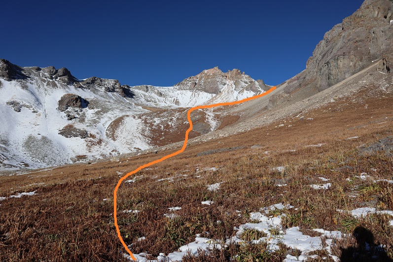
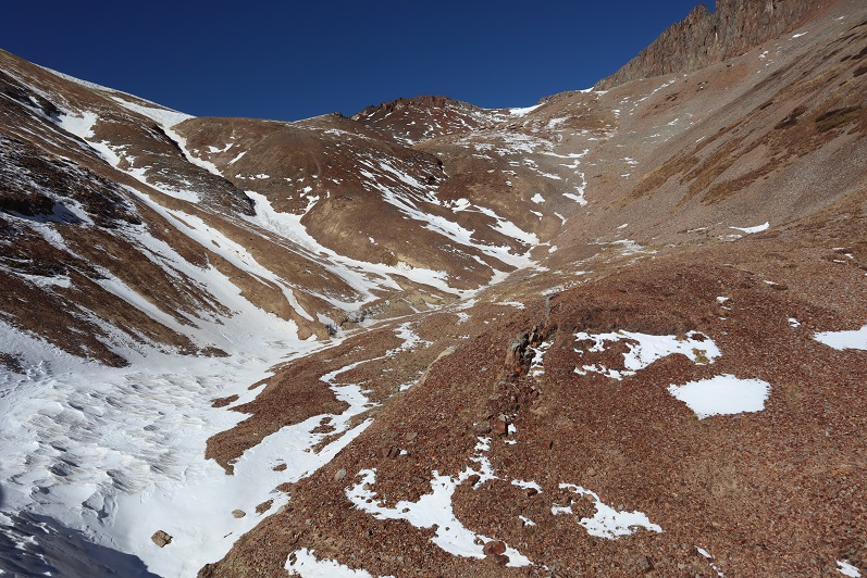
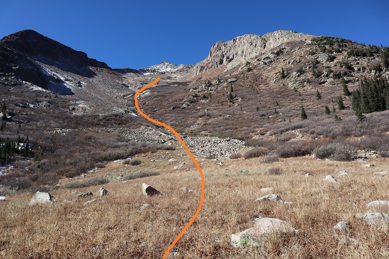
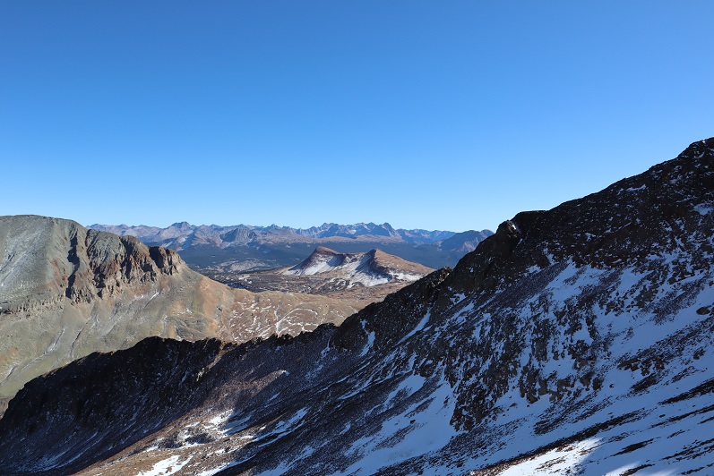
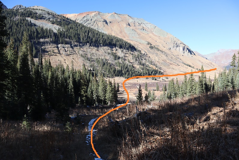
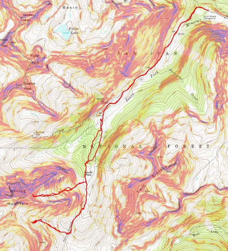
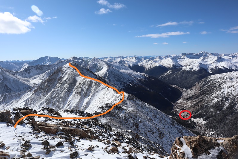
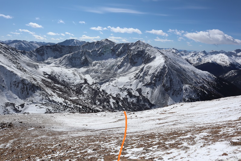
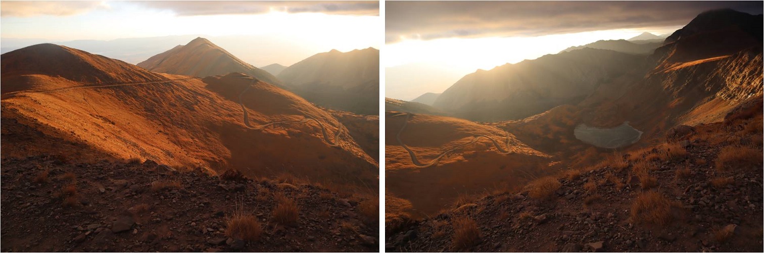
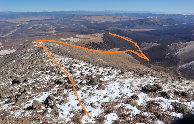
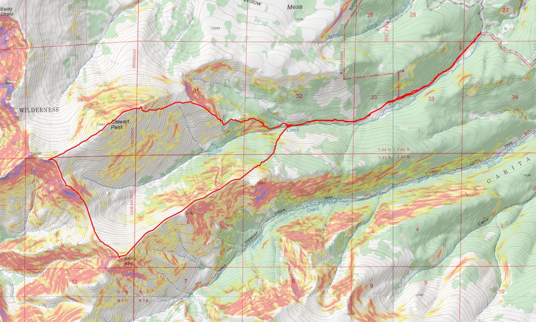
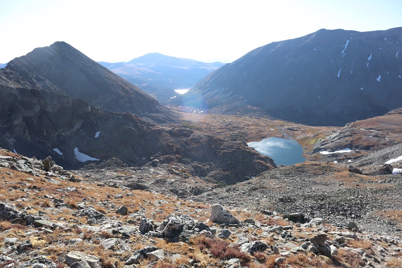
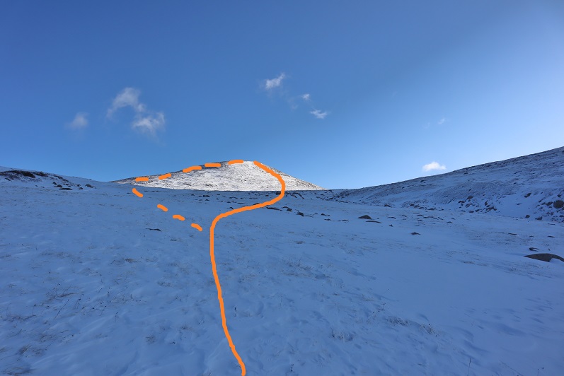
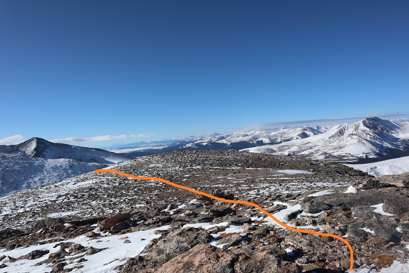
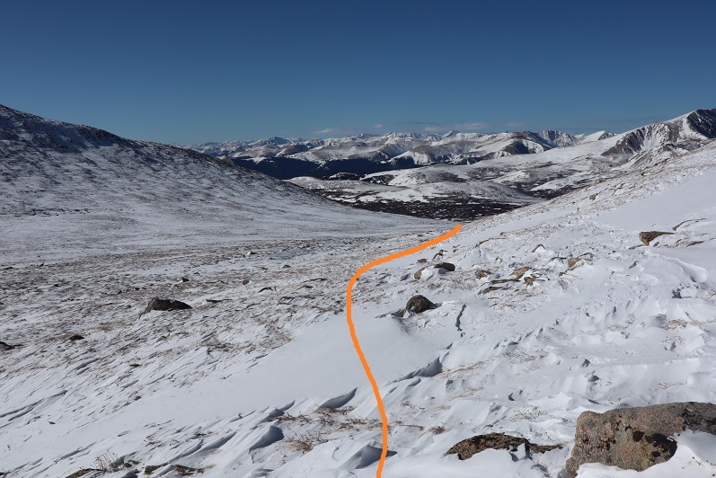
Here’s an overview of my route

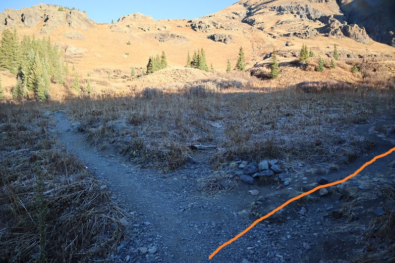
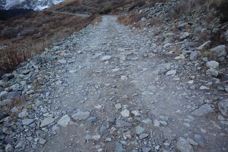
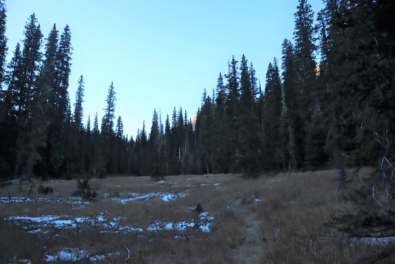
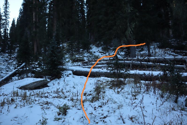
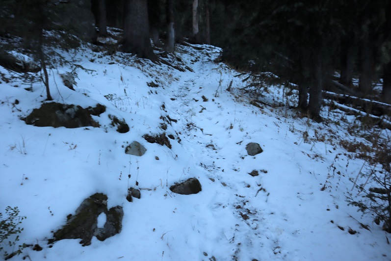
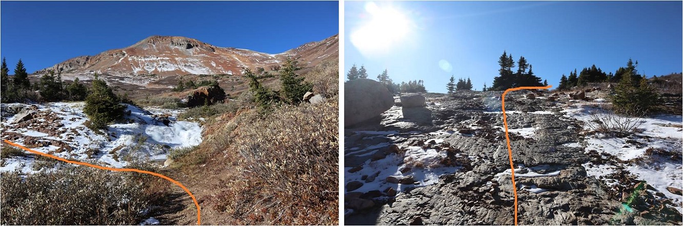
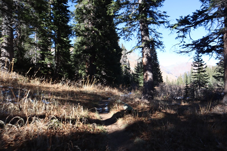
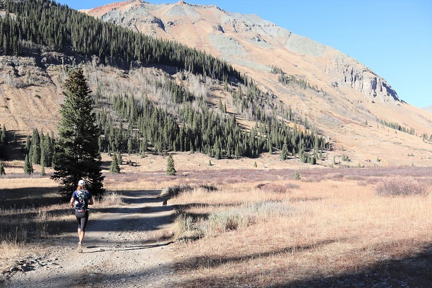
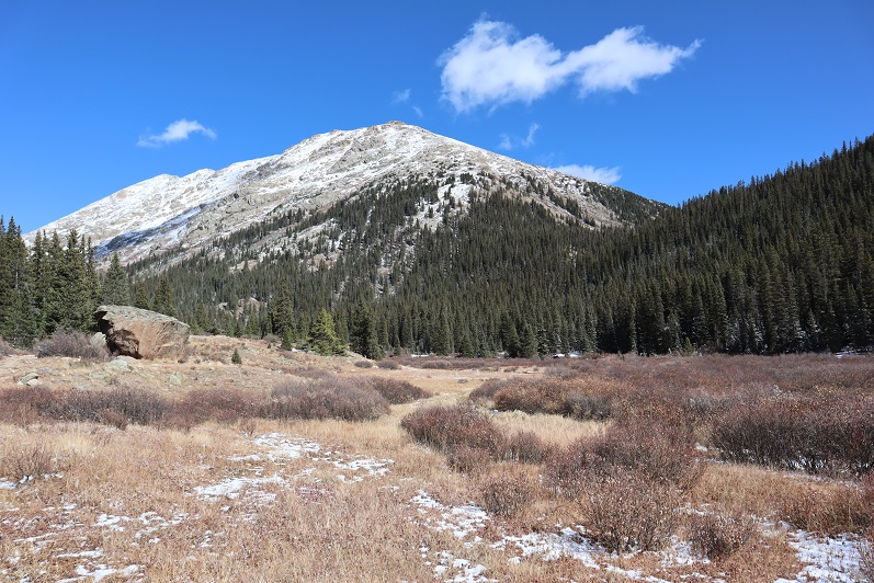
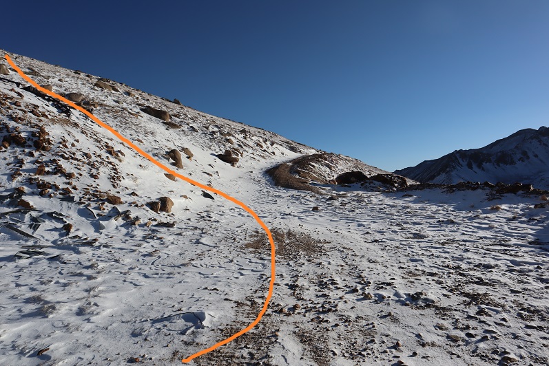
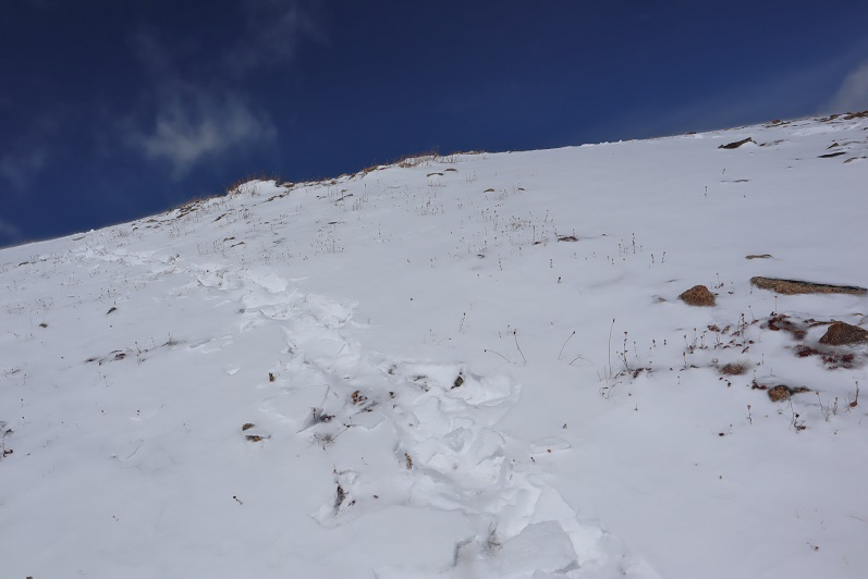
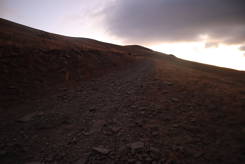
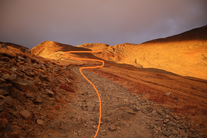
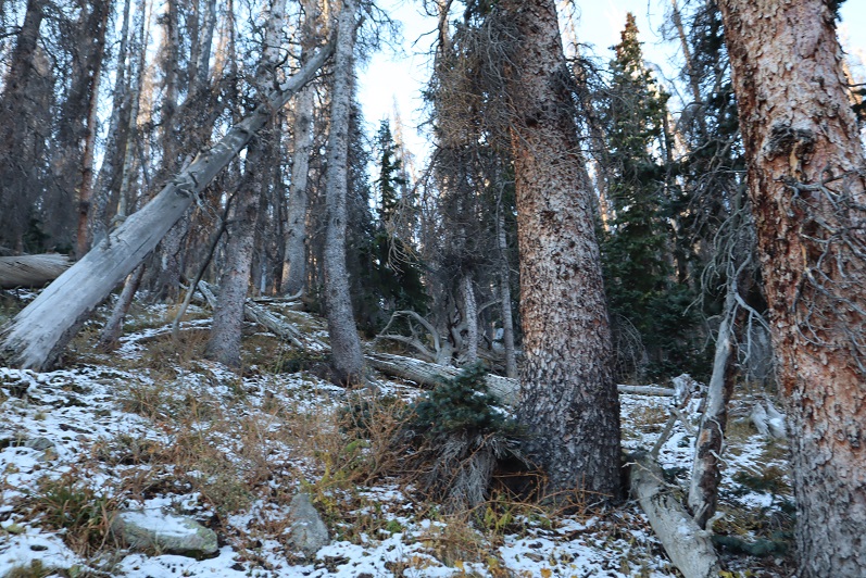
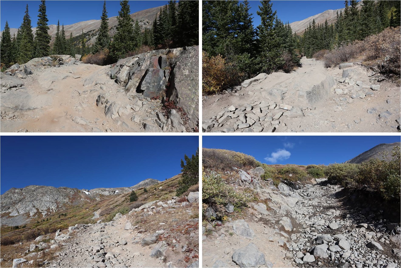
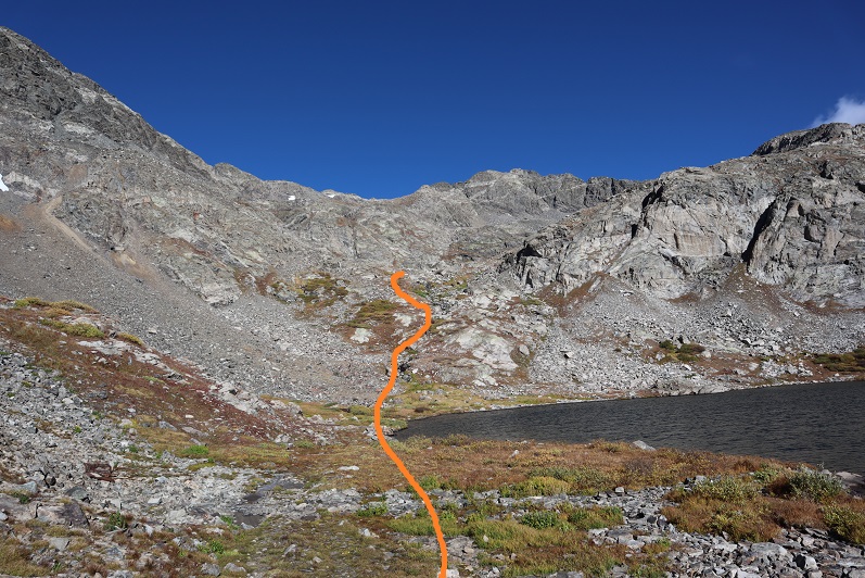
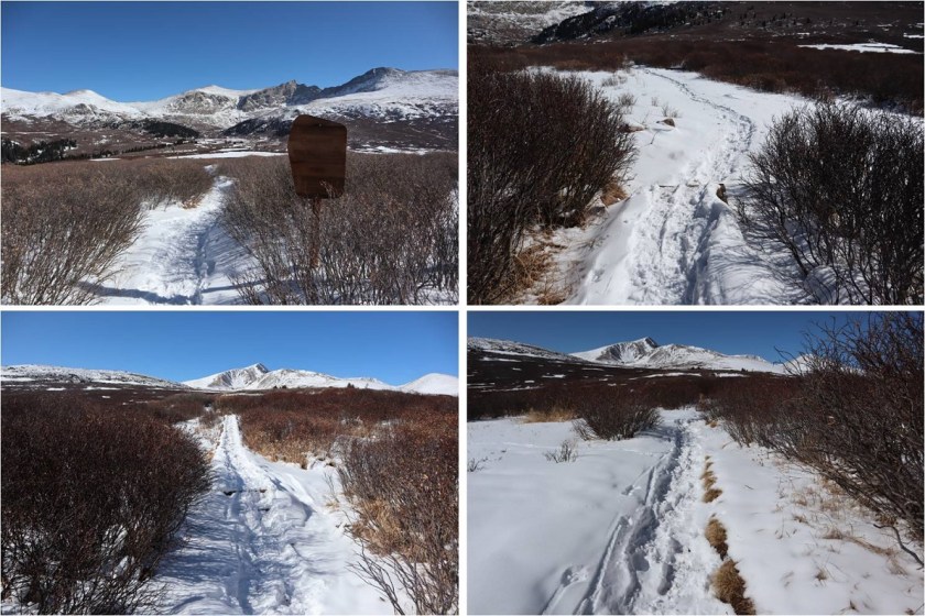
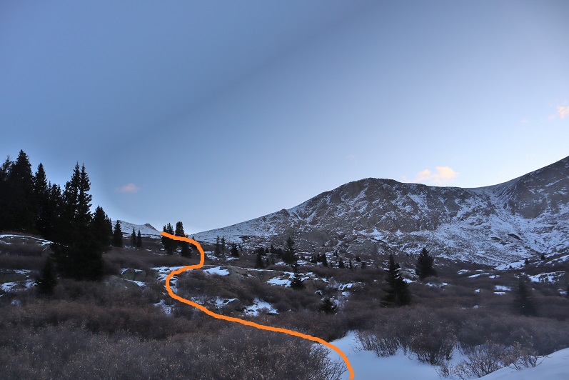
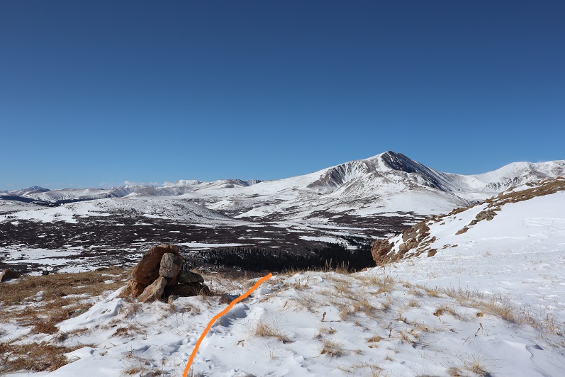
I followed the well trenched Bierstadt trail through the willows until I came to post #11
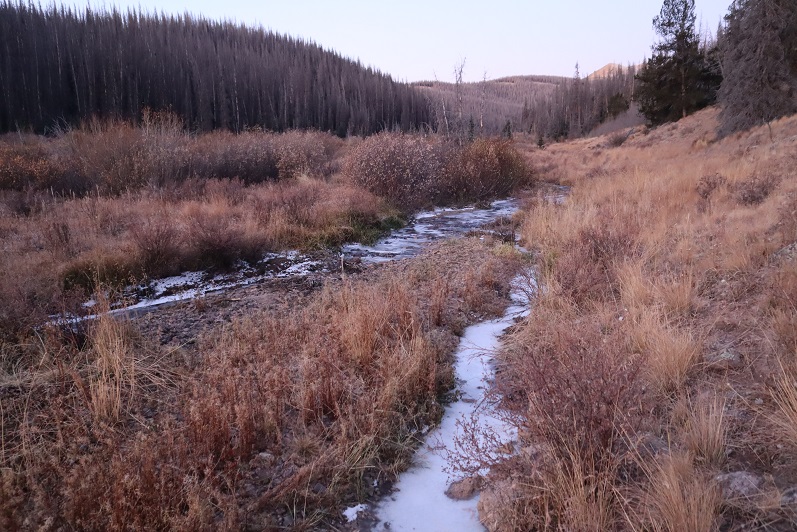
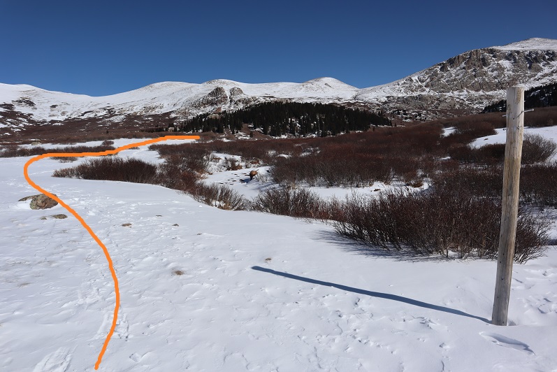
The wind stopped as soon as I descended into the basin, which was a welcome surprise. At post #11the trail continued to Bierstadt, but ended for me. I turned left and angled northeast through the basin, doing my best to avoid the willows and creeks.
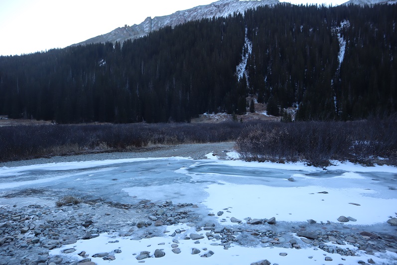
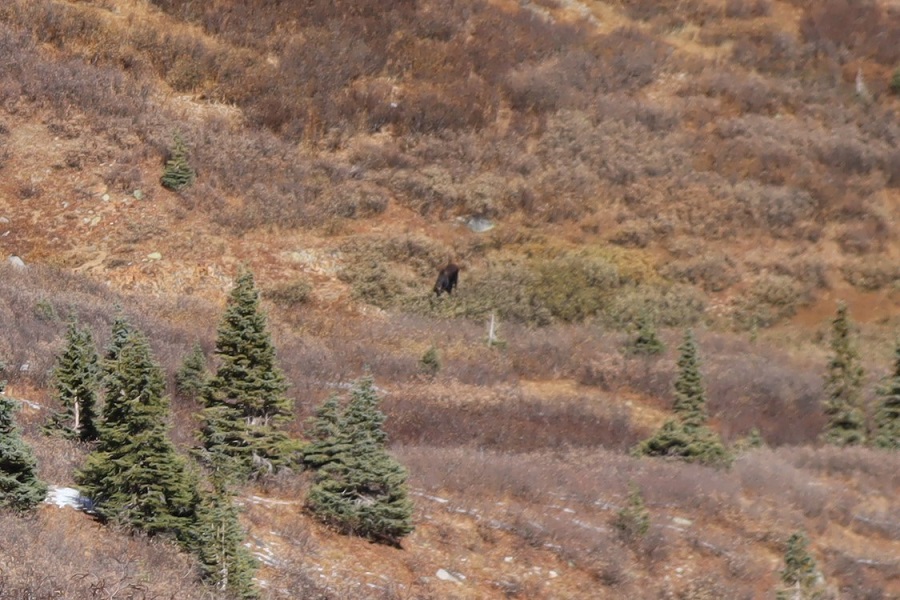
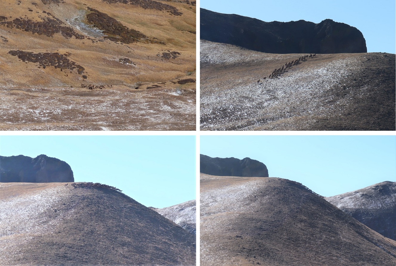
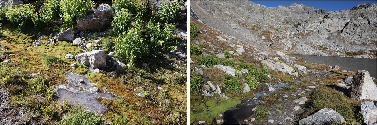
Avoiding the willows wasn’t too difficult, but avoiding the small tributaries and creeks was a challenge. It seemed as if there were offshoots of water everywhere. They were covered in a thin layer of ice and several inches of snow. Since they hadn’t yet frozen over completely they were a hazard. It would look as if I was walking along a section of grass, and then I’d hear cracking and gurgling beneath me. I had to take care not to plunge step into a small creek but wasn’t too worried as they weren’t very deep. As I made it to the middle of the basin I noticed a herd of elk moving ahead of me. They’d obviously seen me first and were doing their best to put some distance between us. Luckily for me I noticed they were traveling in the same direction I wanted to go, so I decided to just follow their tracks.
Following the elk had its advantages: they’re heavier than I am and I can see where they posthole and whether or not they break through ice. I didn’t take the conventional way up this slope, but I felt more secure in my footing following animal tracks.
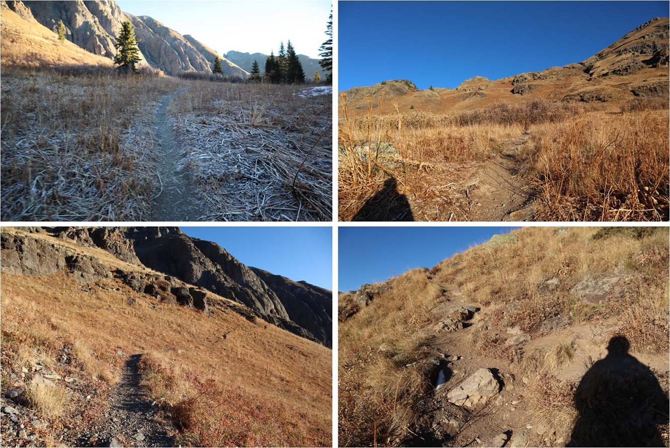
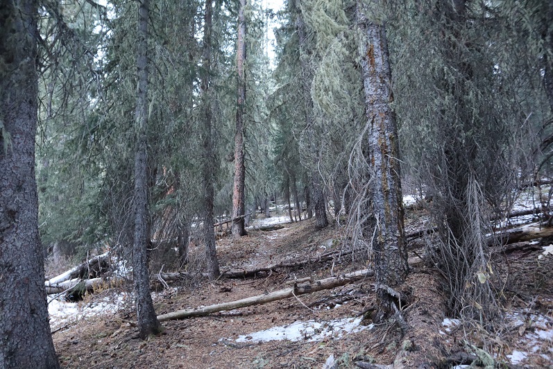
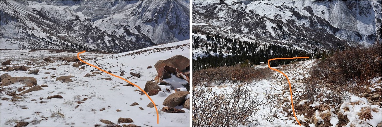
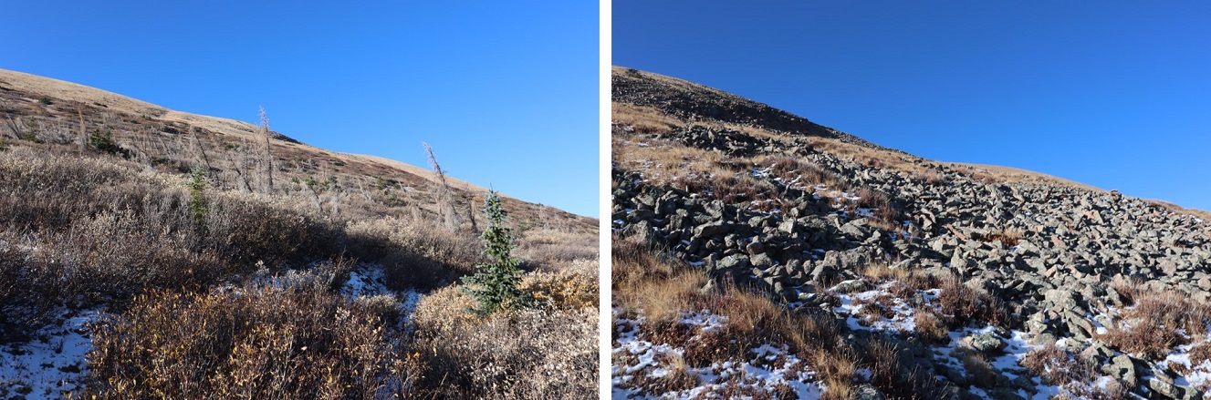
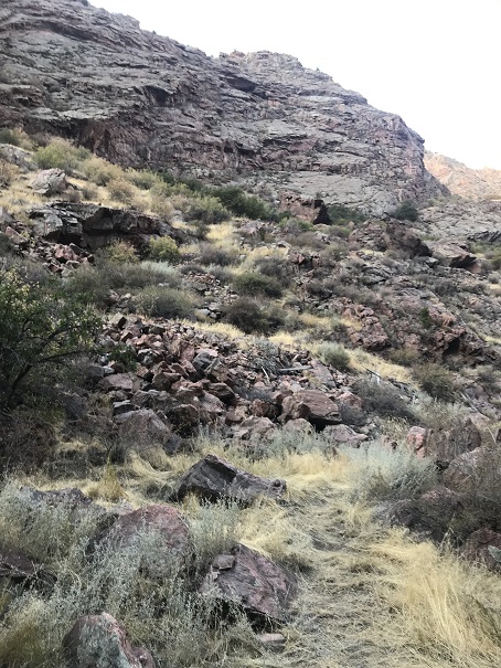
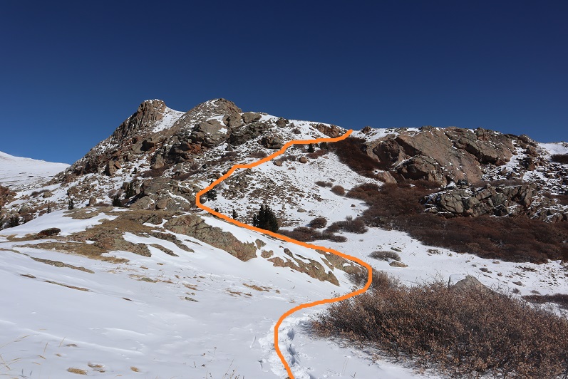
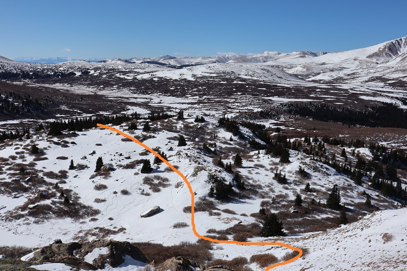
I followed game trails through the willows and trees
to a small plateau. Still following the elk tracks I gained the side of the mountain
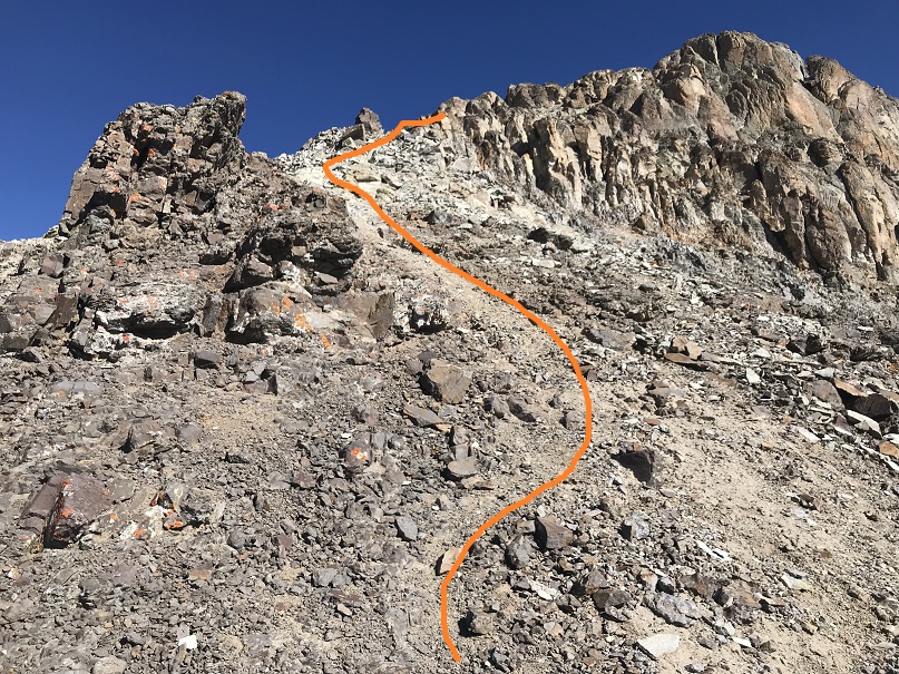
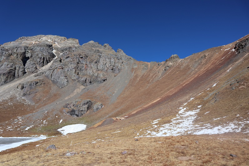
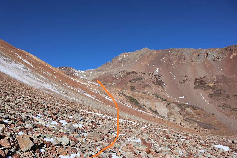
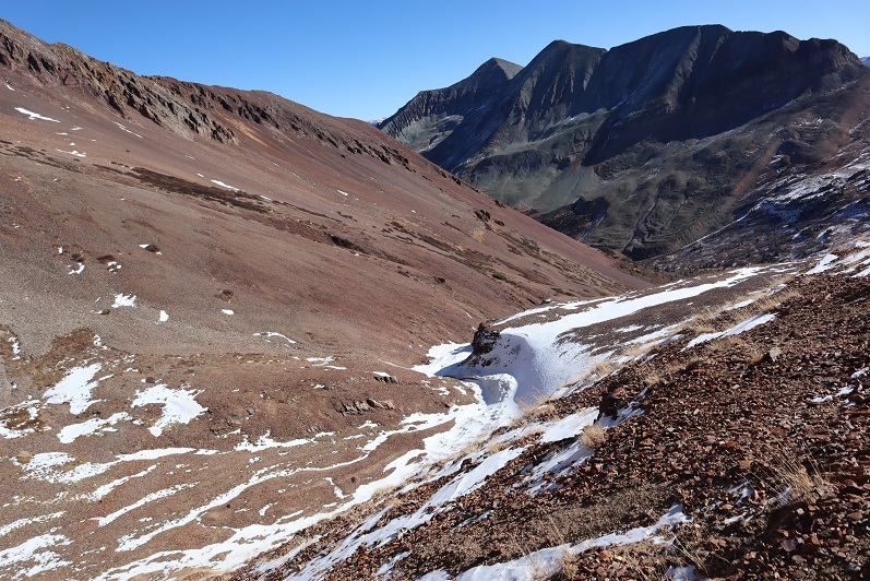
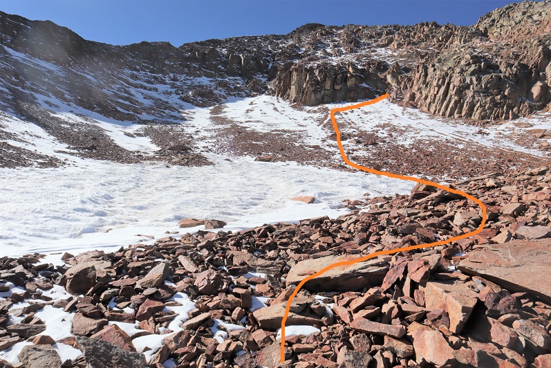
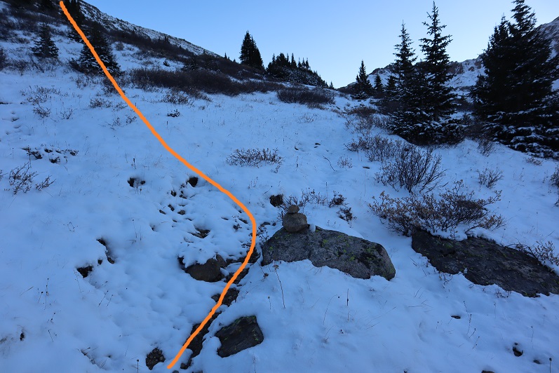
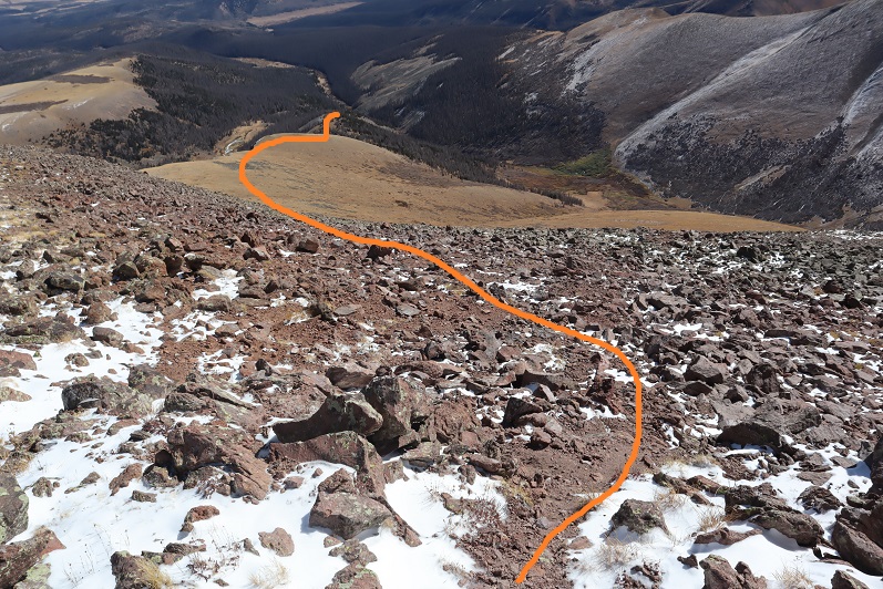
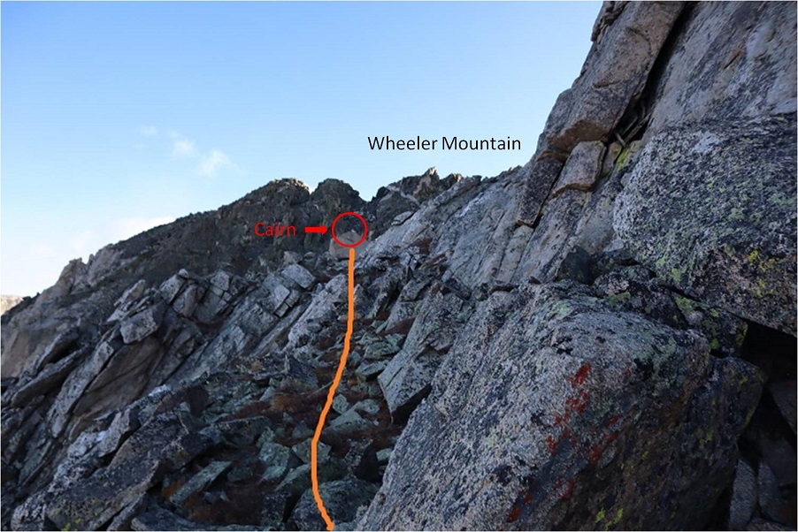
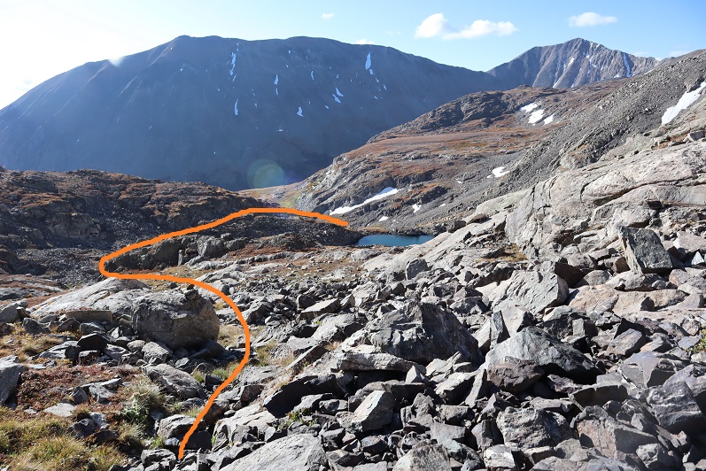
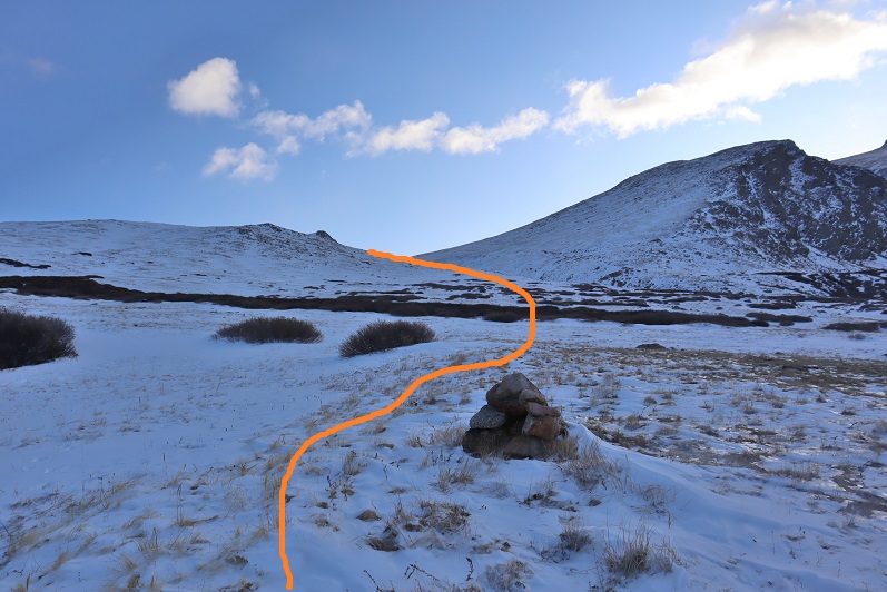
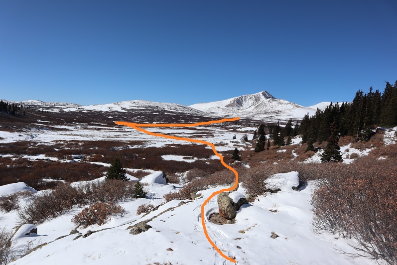
And found a cairn! Woot! It seems I was on the right track. The elk had gone left and I wanted to go straight so I stopped following their prints and headed east through the willows and then followed the drainage up the basin, keeping the drainage to my right.
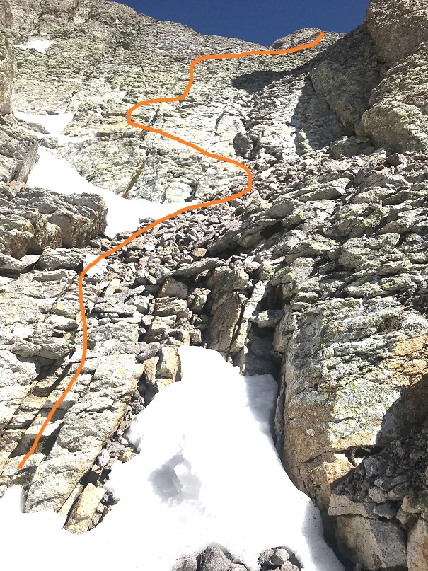
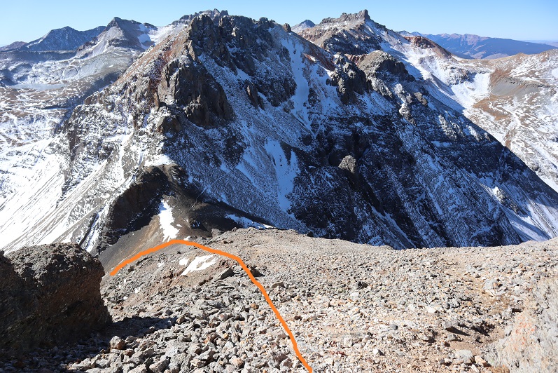
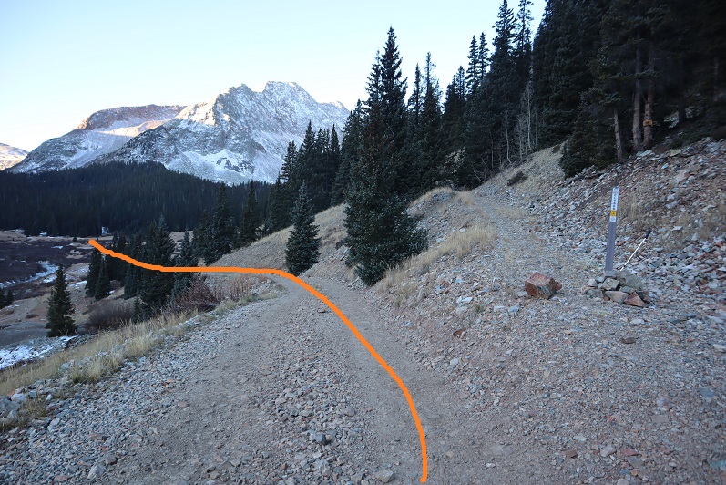
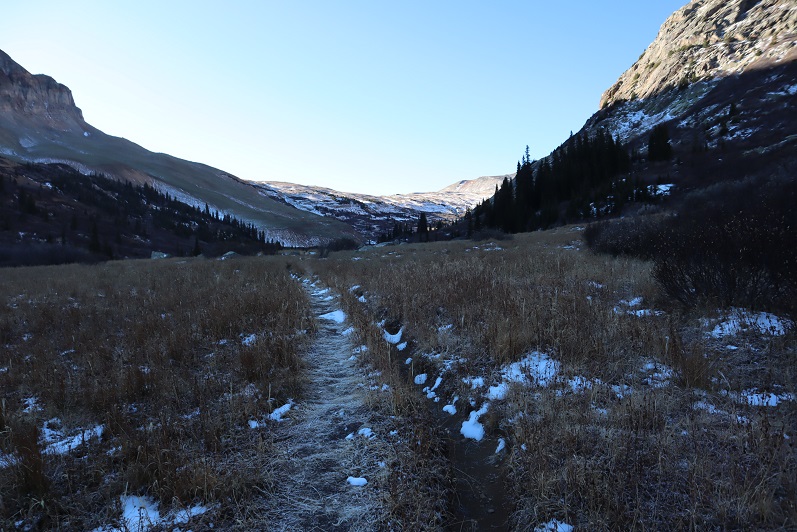
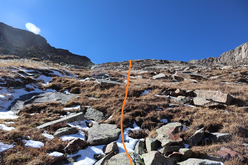
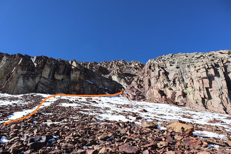
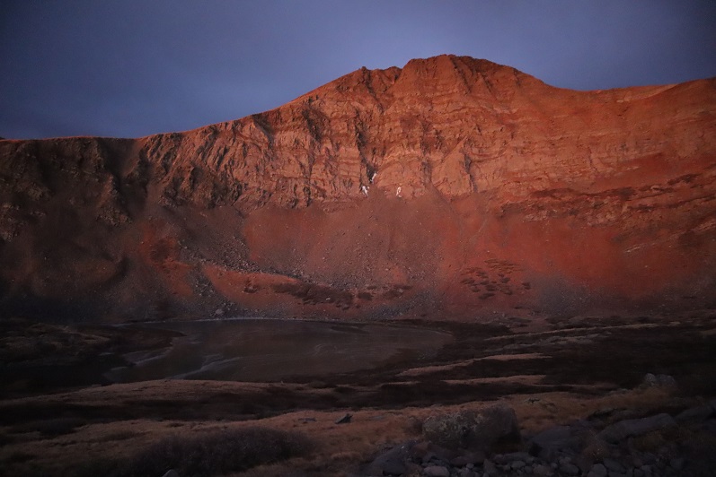
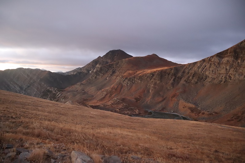
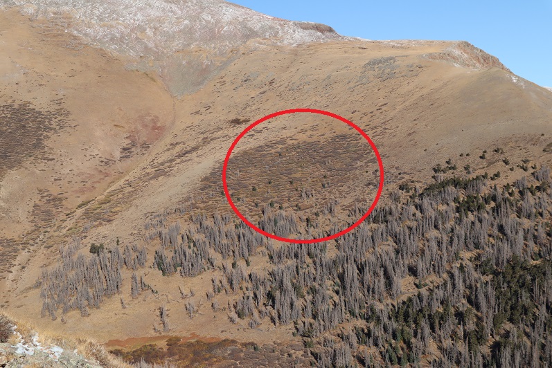
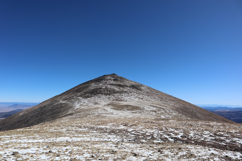
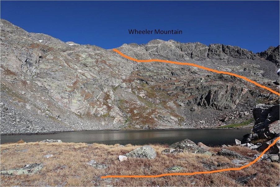
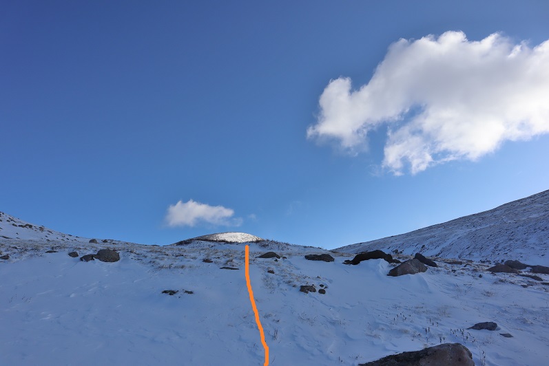
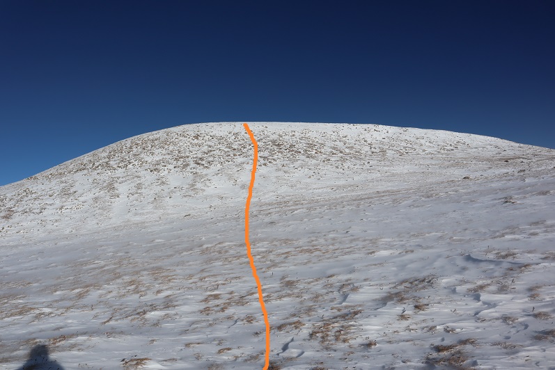
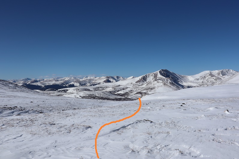
The beginning this part of the hike wasn’t too bad. I just kept following the drainage towards Gray Wolf Mountain
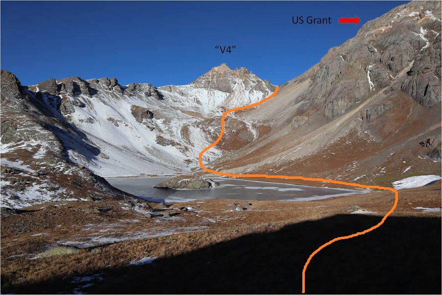
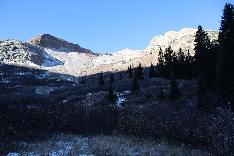
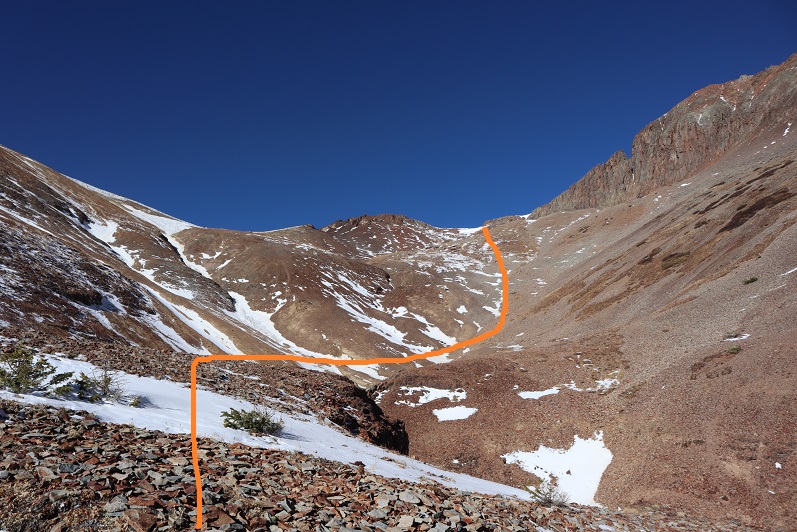
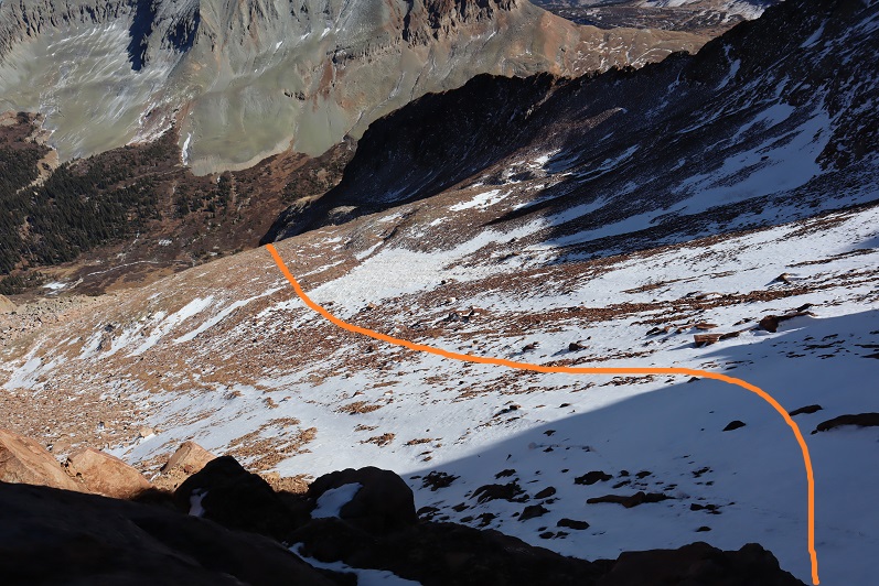
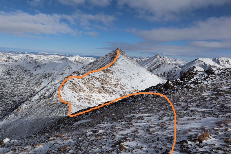
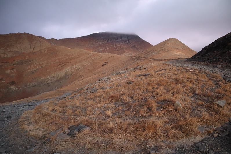
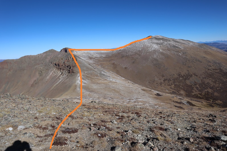
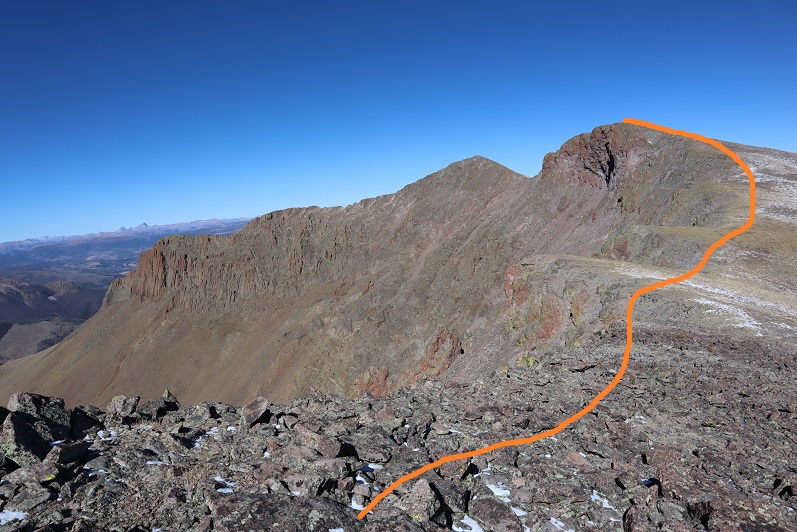
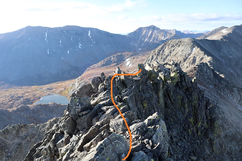
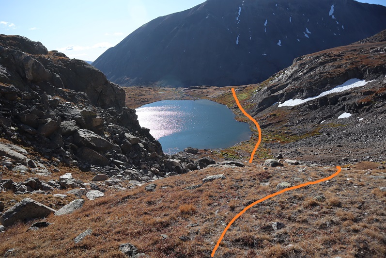
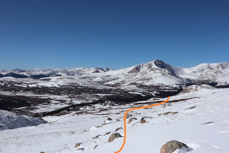
Just as I made it to the base of the peak the wind started picking up intensely. I made the decision not to ascend Gray Wolf Mountain via the ridge because I was worried the winds would be too much for me (dotted line). Instead I followed the basin until I felt I was parallel with the summit and gained the ridge that way, thus being able to make it to the top without the intense wind (solid line)
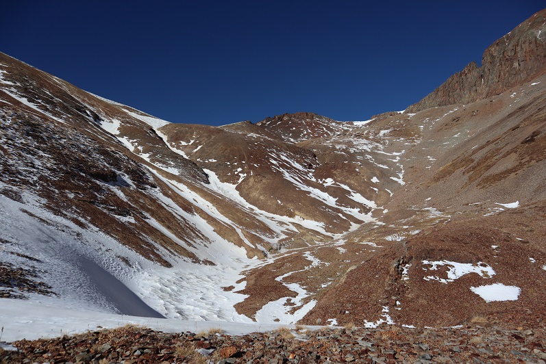
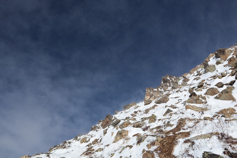
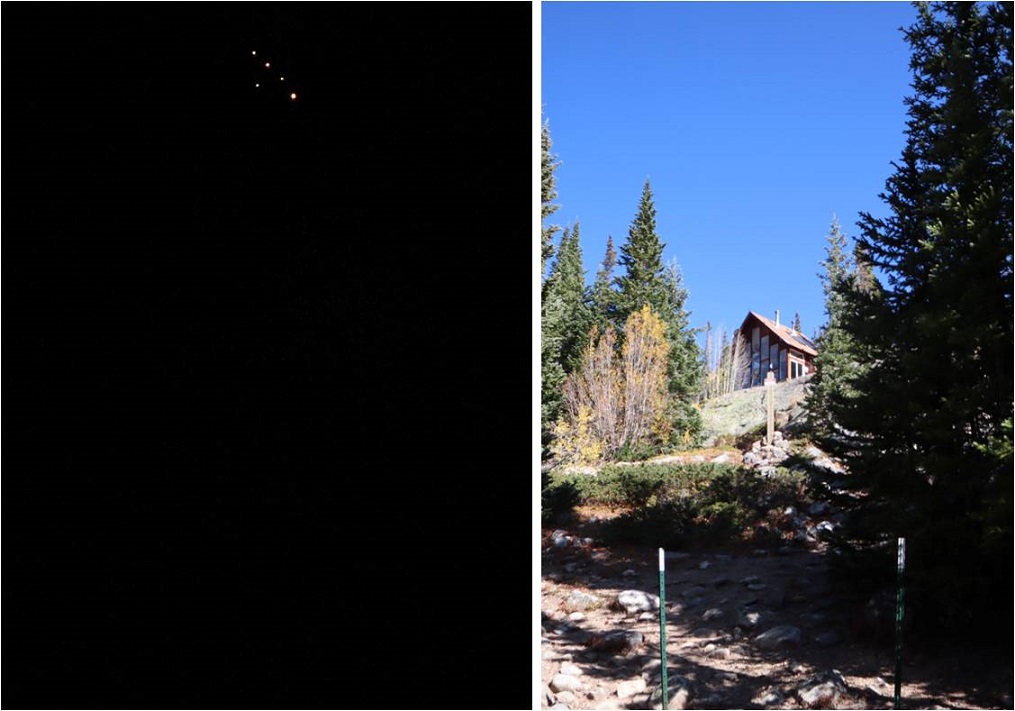
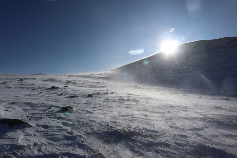
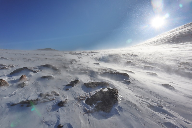
Winds were forecasted at 20-25mph, but they far exceeded those numbers. The winds never slowed down and they never stopped. It’s difficult to get a picture of wind…
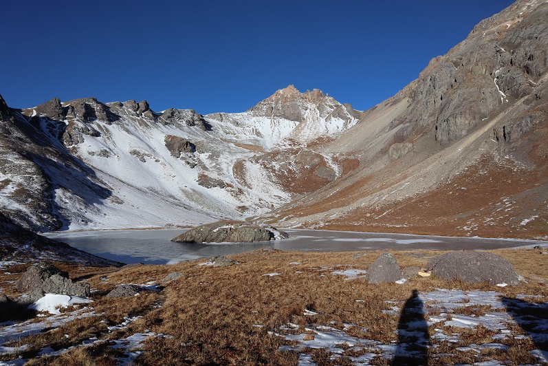
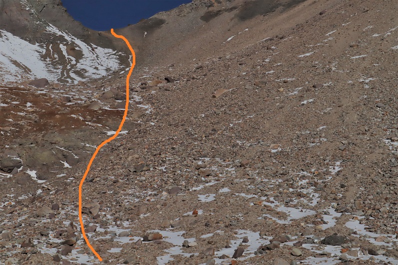
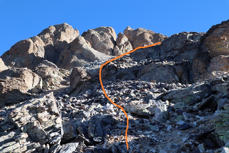
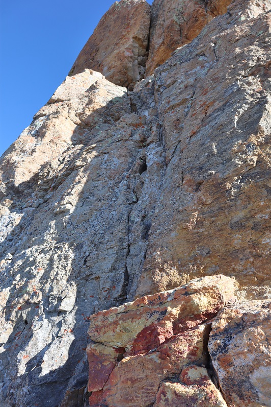
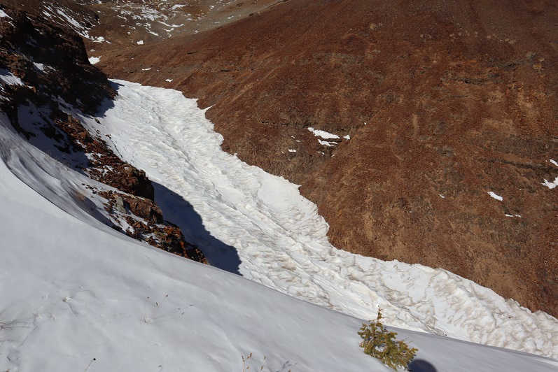
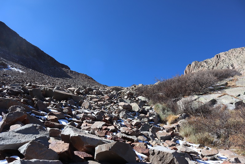
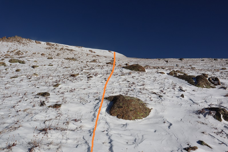
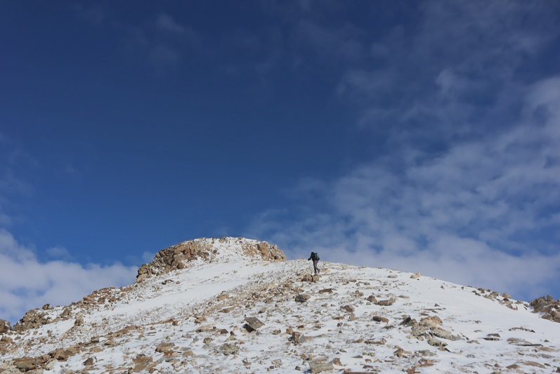
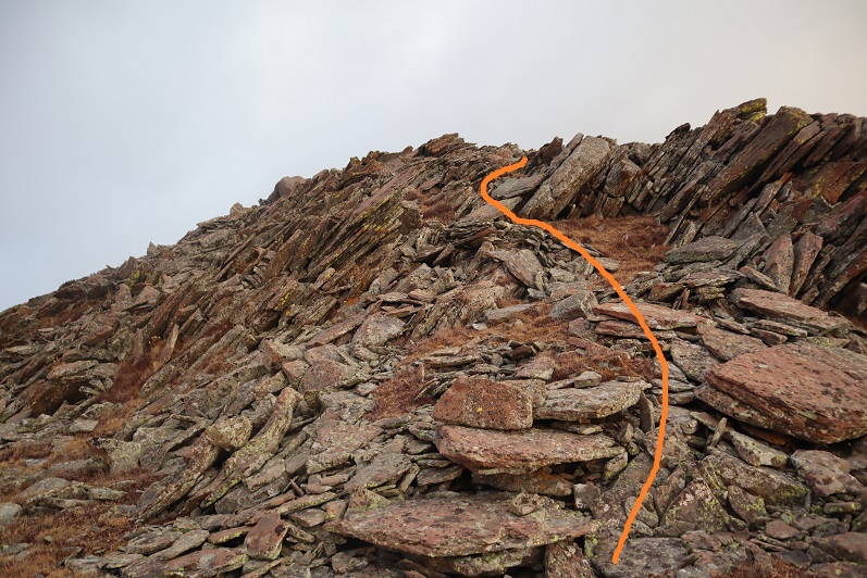
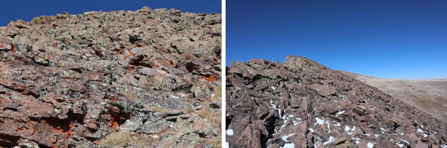
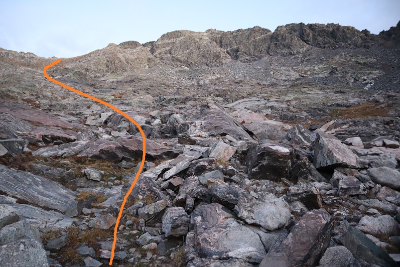
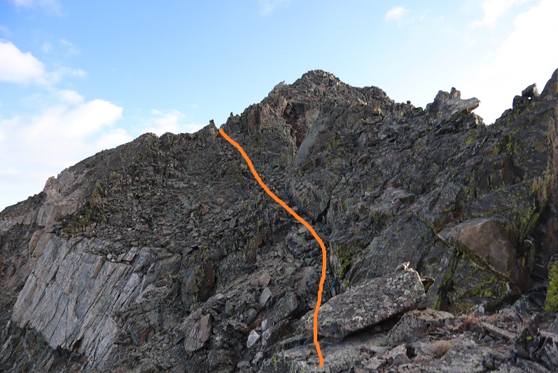
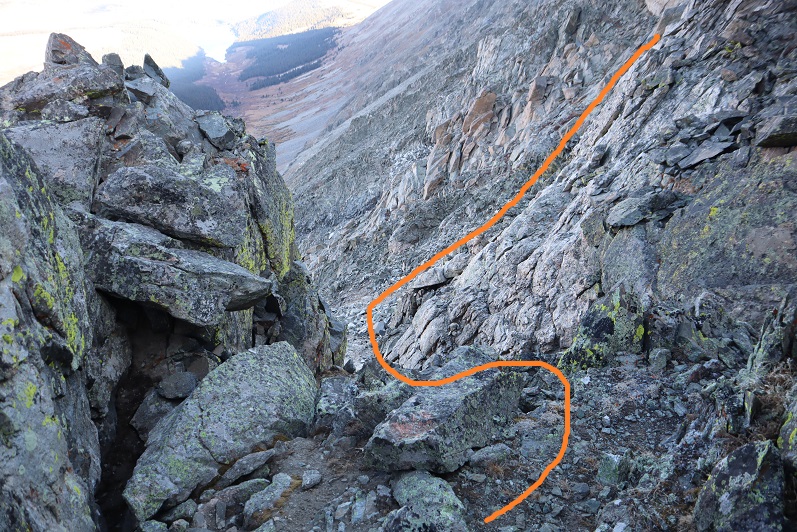
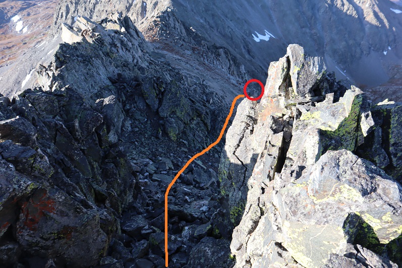
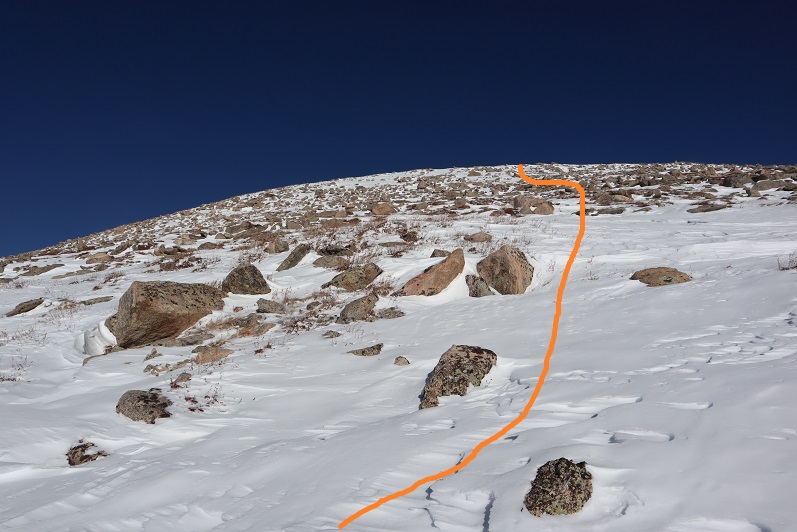
Eventually I hit an ice patch and decided it was time to start climbing Gray Wolf Mountain
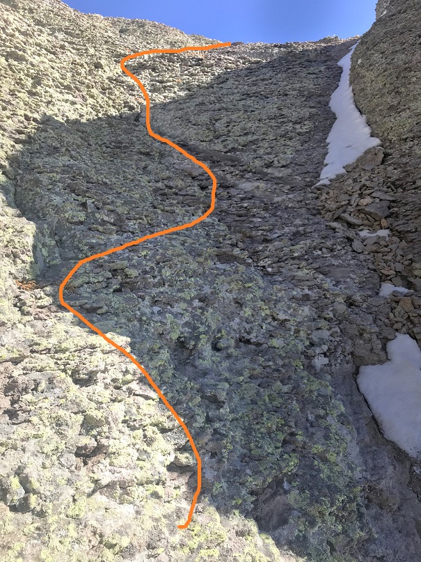
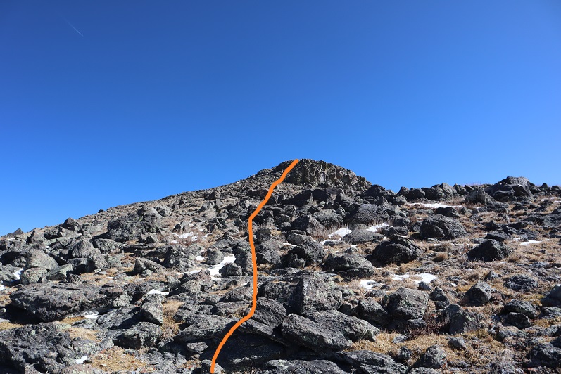
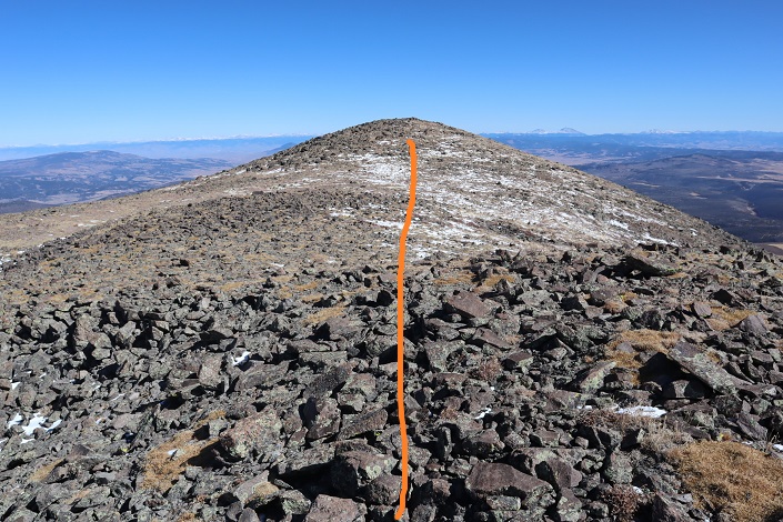
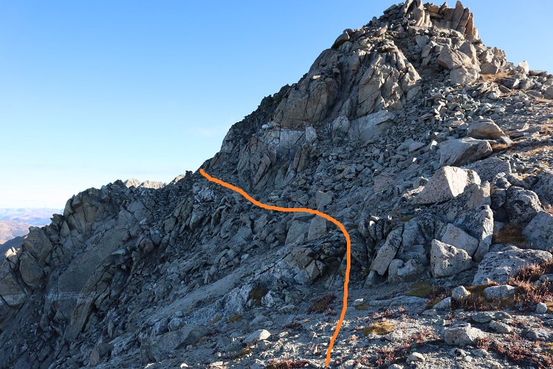
I turned left (north) and ascended the ridge

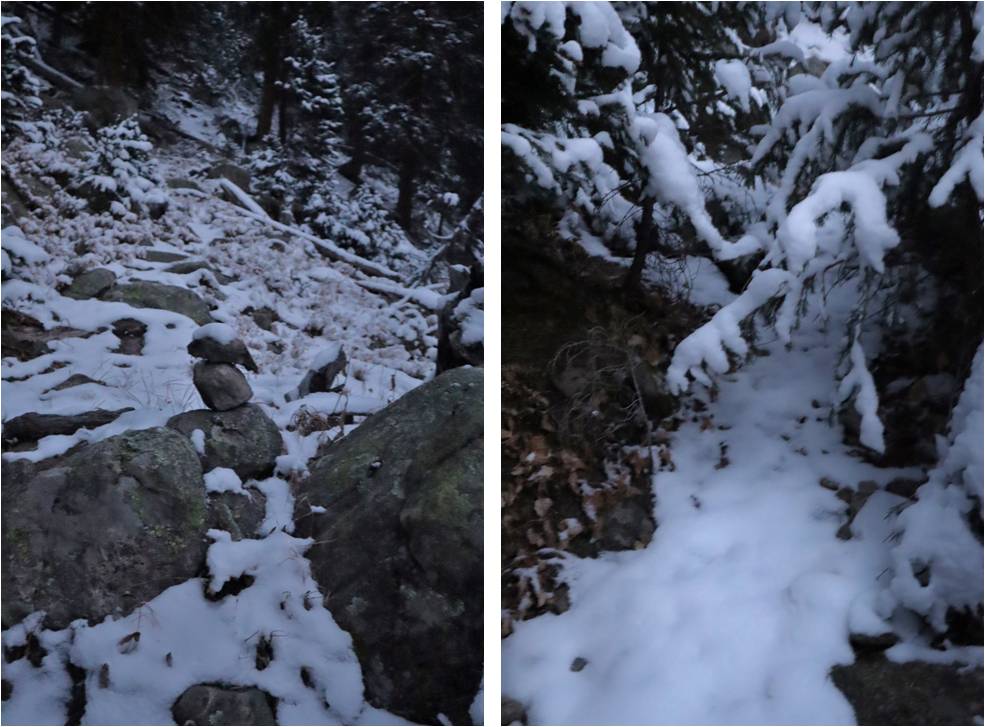
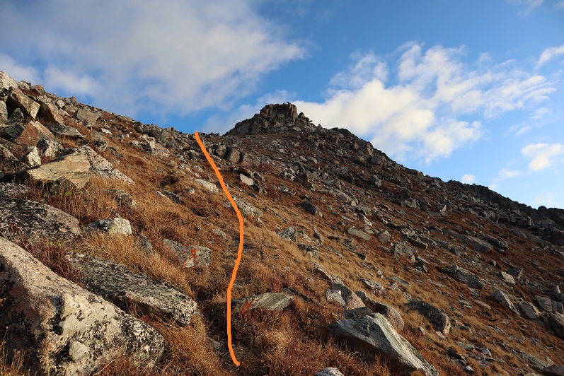
The higher I climbed the lower the wind speeds became. The snow here was either hard packed or soft and unconsolidated, making route finding challenging. I had to go slower than I would have liked to avoid twisting an ankle in the snow hollows between larger rocks.
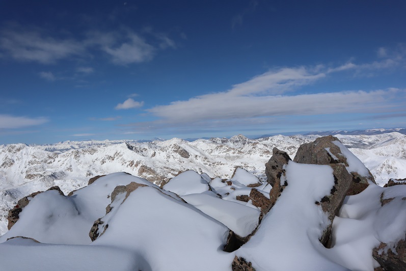
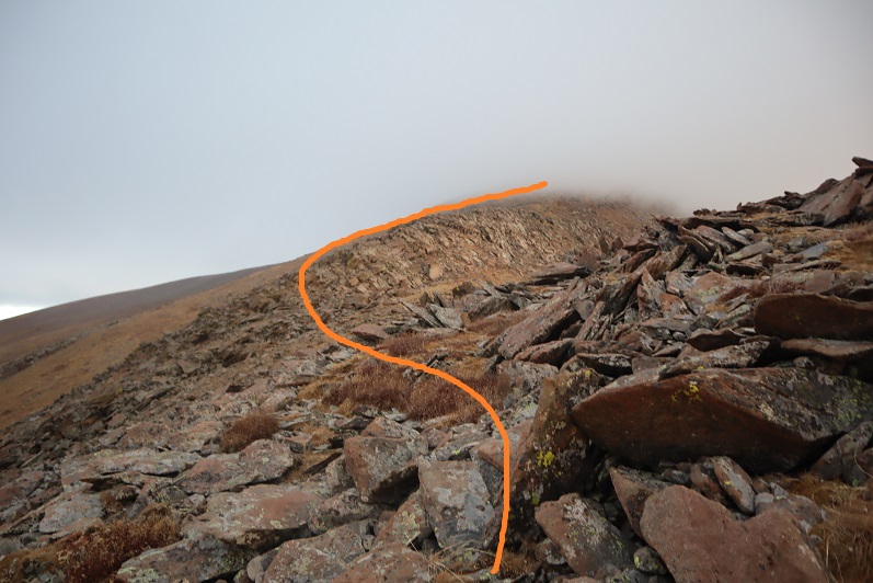
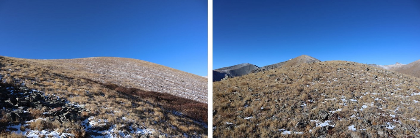
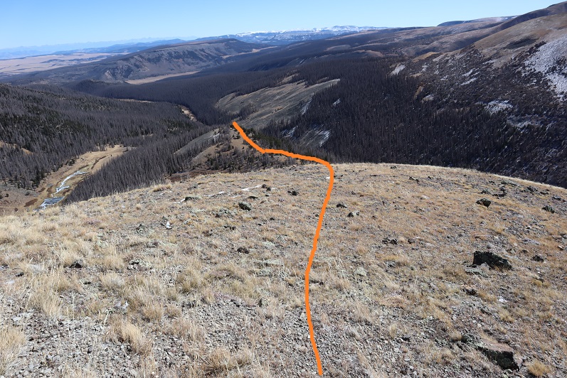
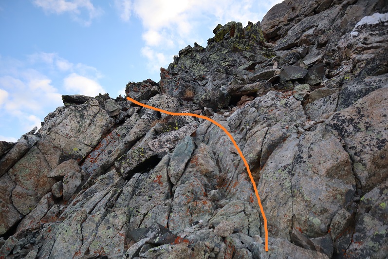
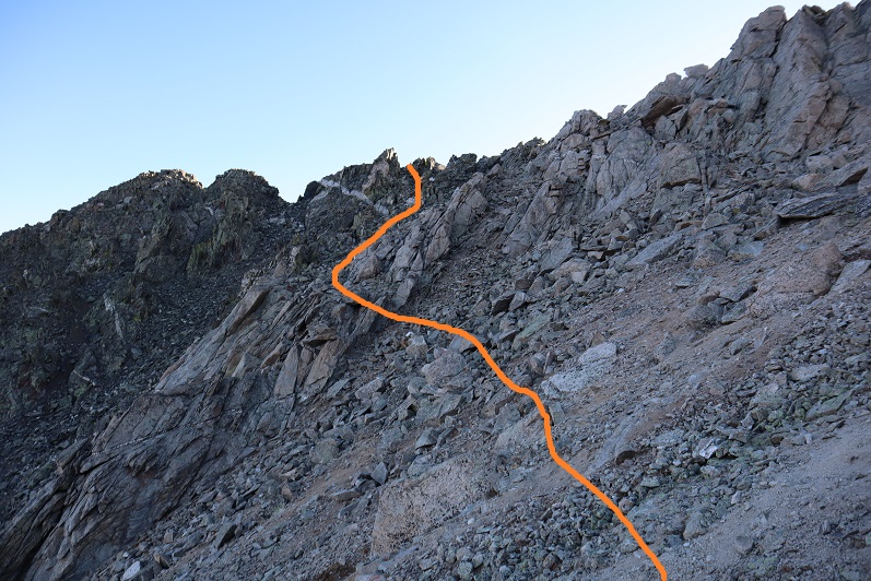
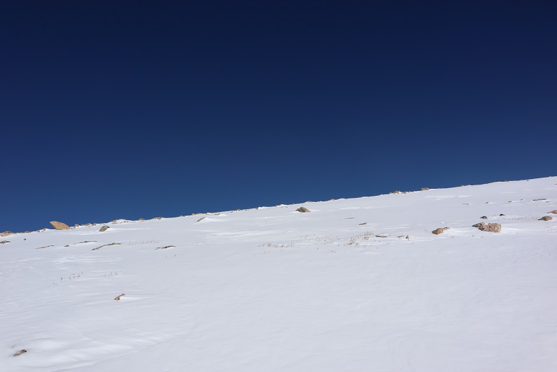
The further up the mountain I went the more snow I encountered
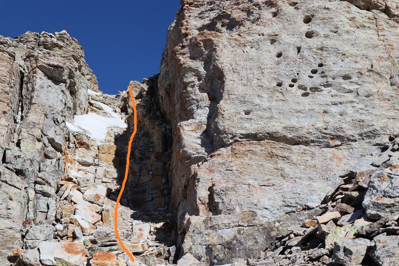
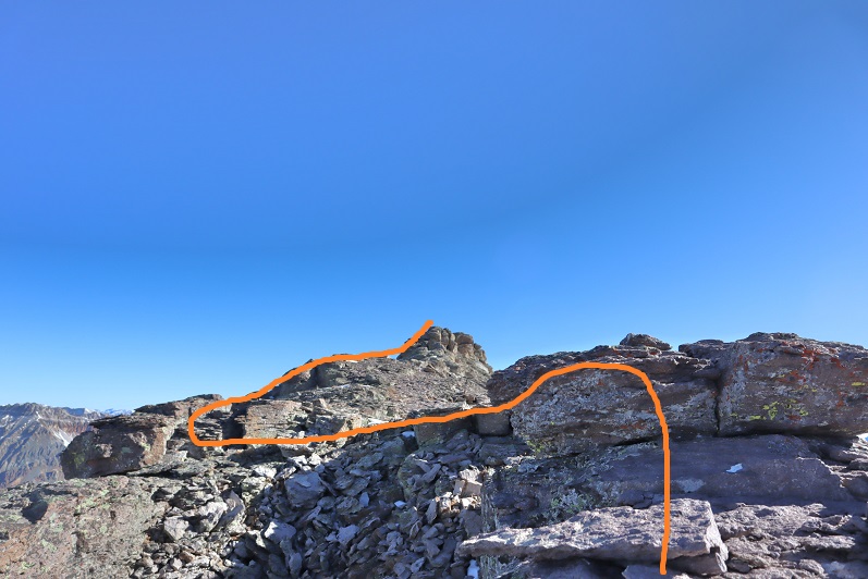
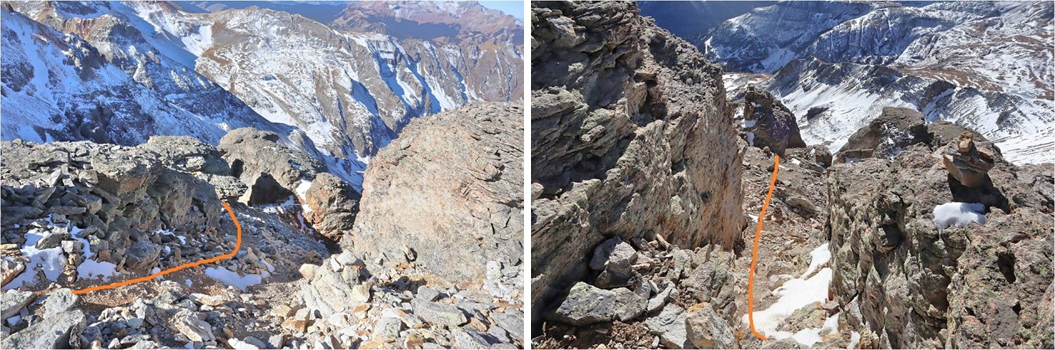
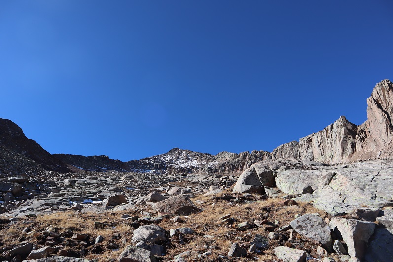
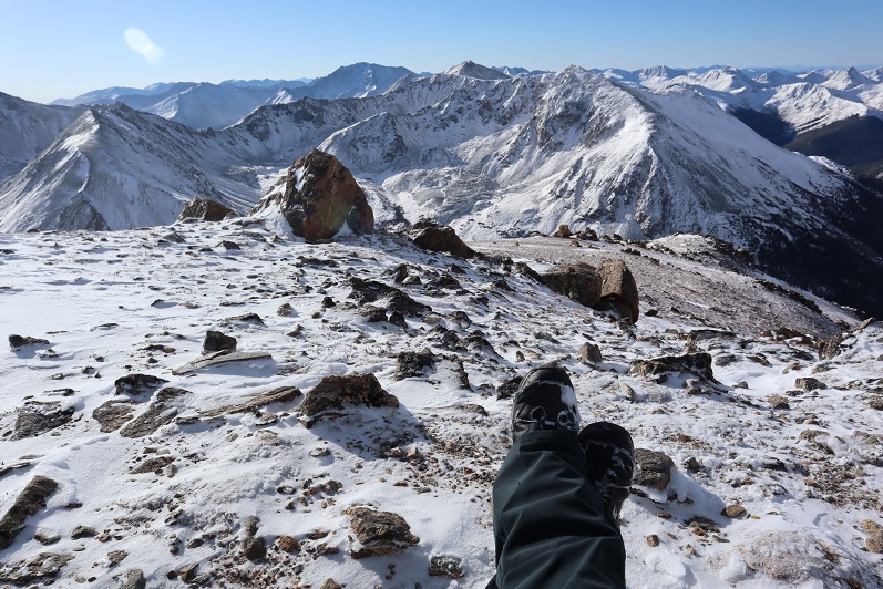
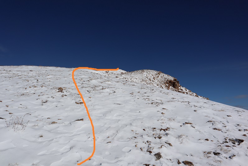
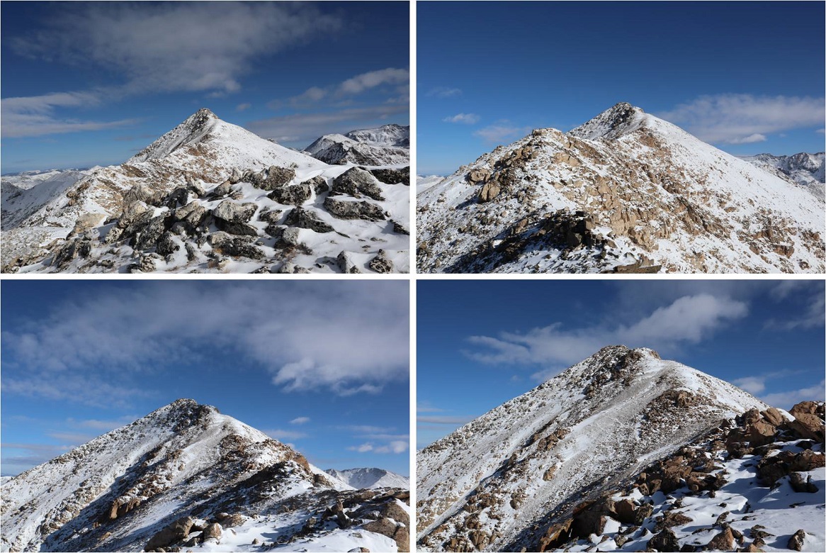
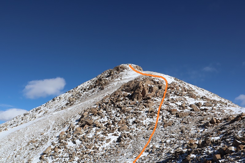
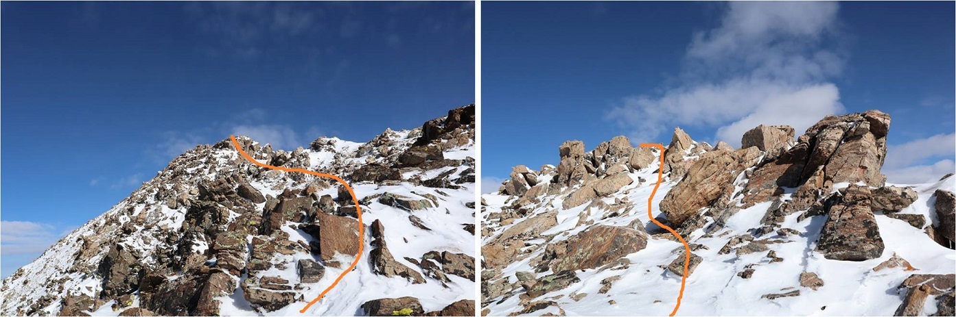
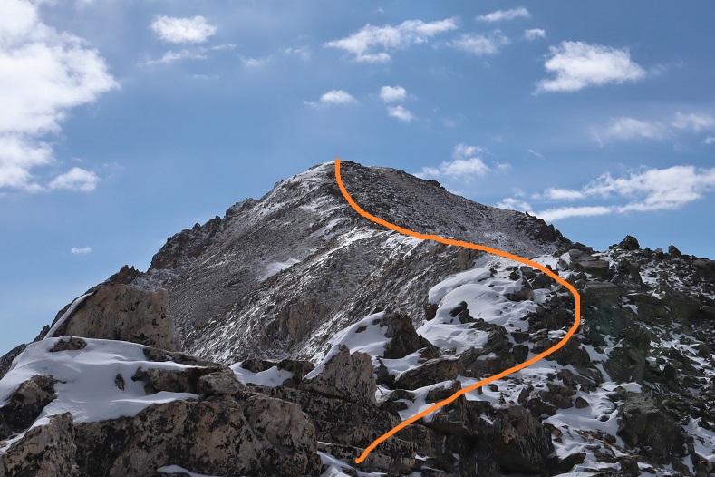
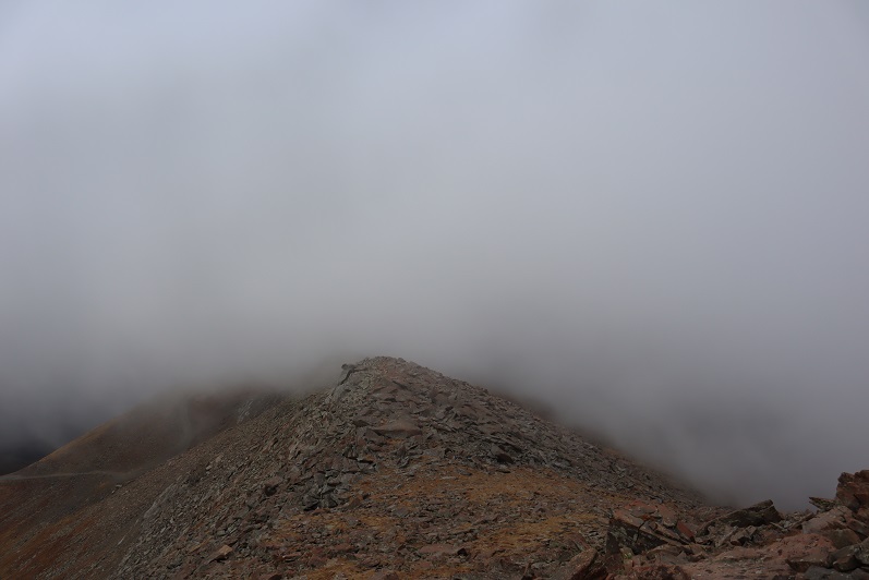
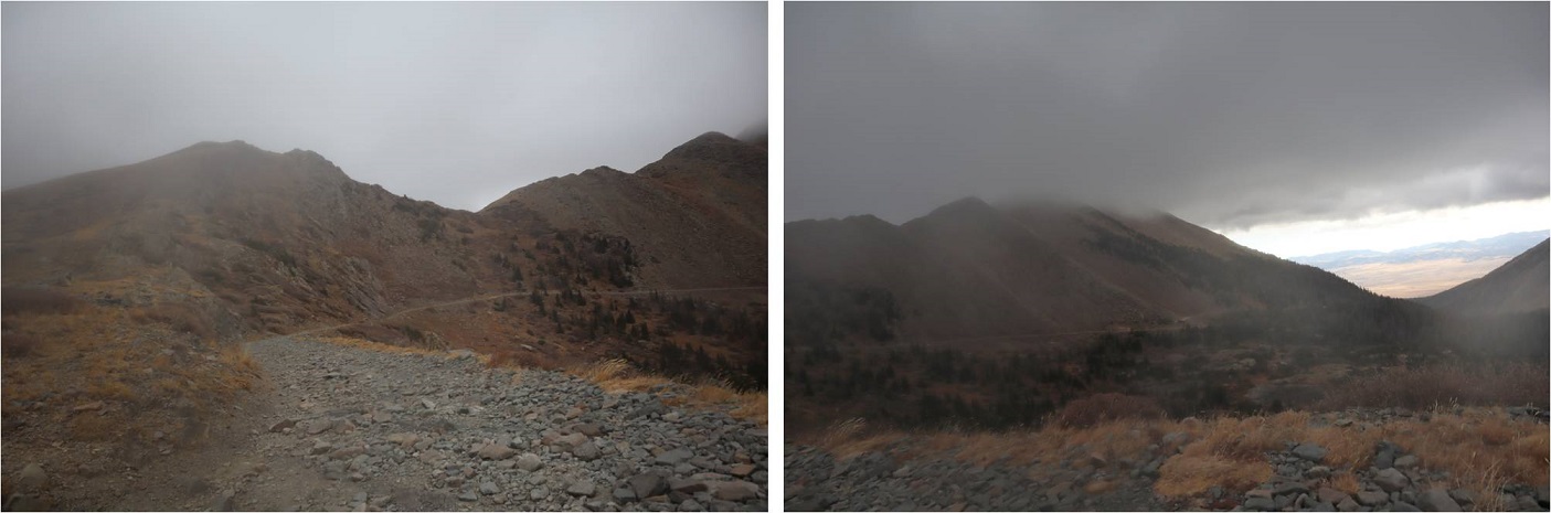
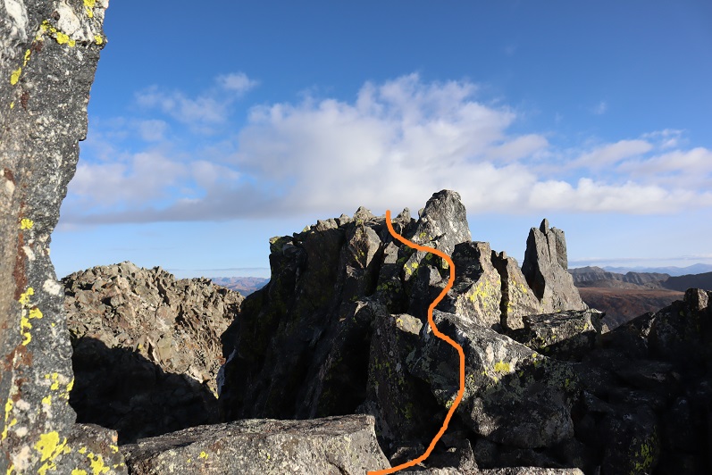
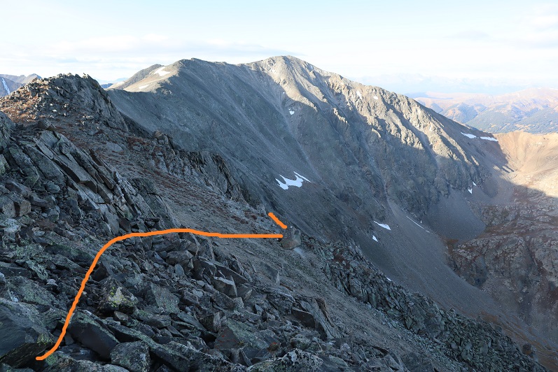
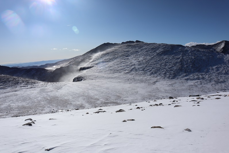
Until I made it to the ridge and saw it was mostly windblown. Here’s the path to the summit

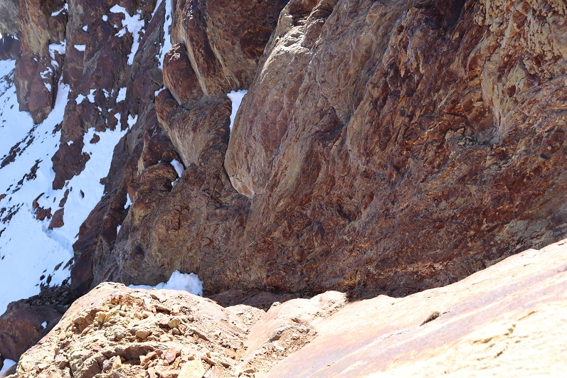
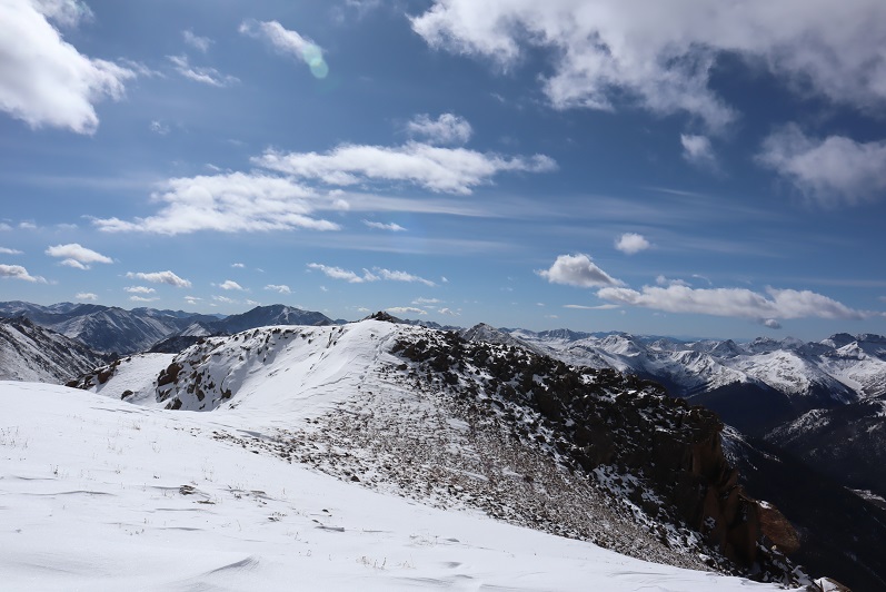
And looking back, you can see a better view of the dropoff between Gray Wolf Mountain and Mt Spalding and the wind that went with it
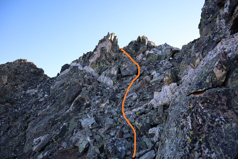
As I got closer and closer to the summit of Gray Wolf Mountain the winds increased again. I had to keep my head down and body angled forward to avoid getting blown over
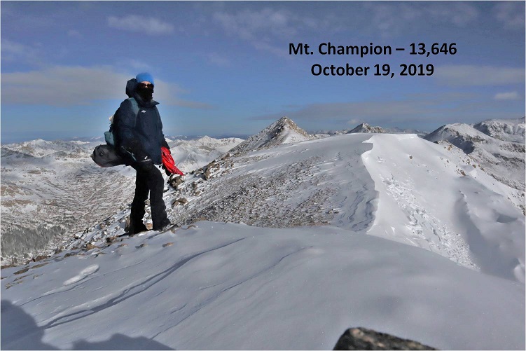
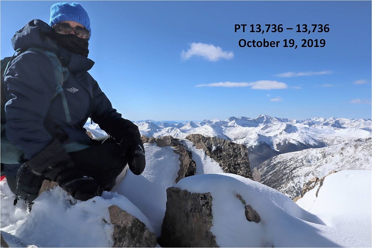
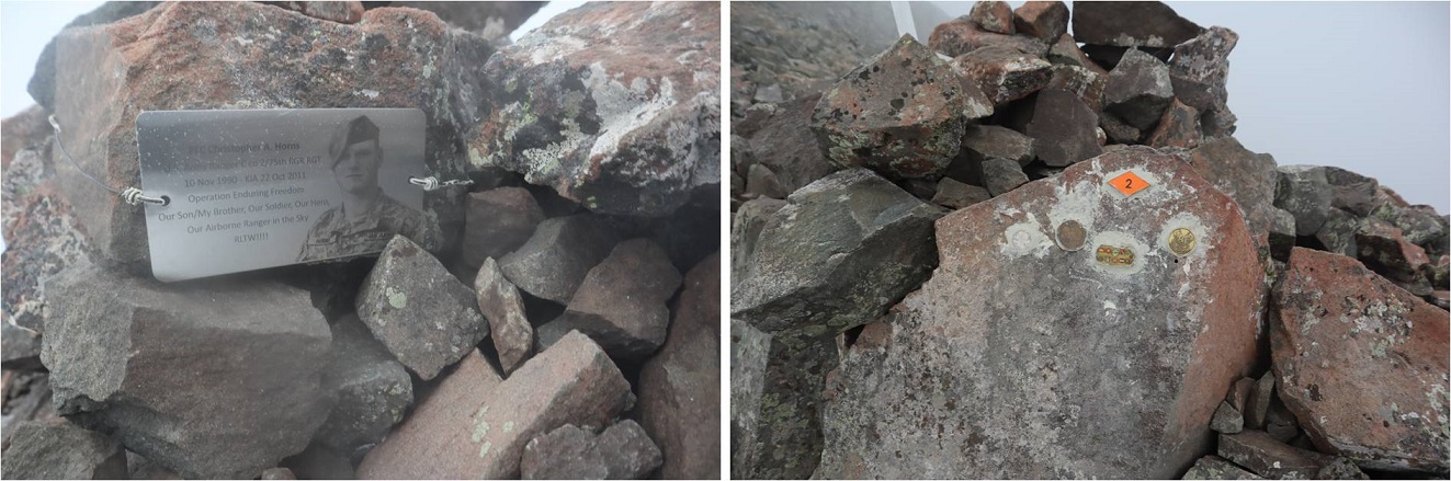
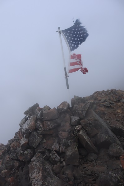
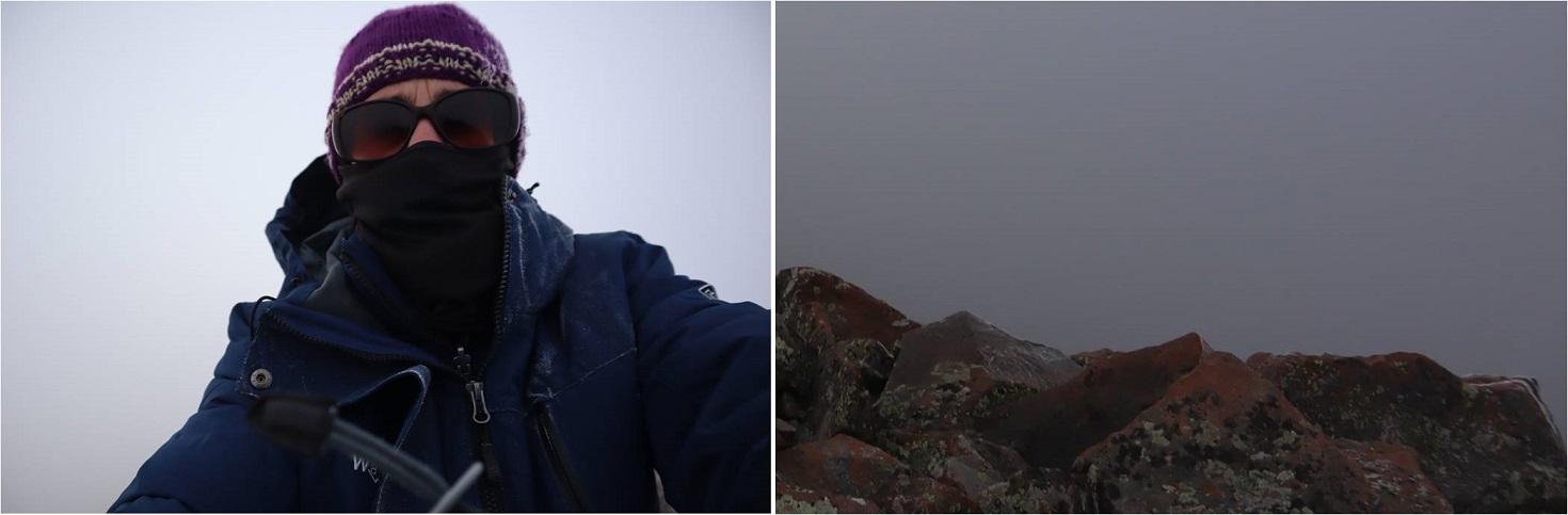
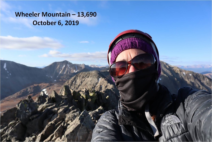
When I made it to the summit I took off my backpack to set it down and it was blown by the wind, tumbling 10 feet away from me. I hobbled back and forth in my snowshoes to retrieve it before it was blown off the mountain altogether. Wow, those were some strong winds! I set up my camera between two rocks on the summit cairn to get a picture of myself on the summit. I got one before the camera was blown over. This is me stoically struggling against the wind to remain upright in the wind. Also, I’m cold.
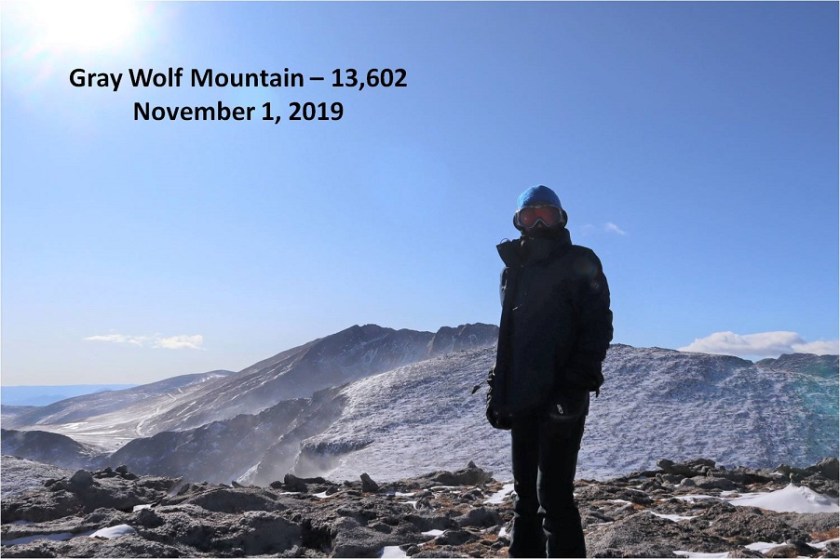
I didn’t even bother looking to see if the picture was good: The wind wasn’t stopping and I had to get out of there. These were sustained winds that I’m guessing exceeded 60mph. I bent down to retrieve my backpack to put it on. I was able to get one arm through one of the straps, but tried over and over again unsuccessfully to get the other arm through. The wind kept blowing the pack away. Frustrated, I half laughed/screamed “STOP!!!!” to the wind. It didn’t listen and it wasn’t going to listen so I had to get creative. I propped my backpack up against the cairn, turned around, sat down and put the pack on. At this point the wind was blowing me against the cairn and I couldn’t stand up from a sitting position. I rolled onto my side and used my trekking pole to hoist myself up. I made the decision right there not to attempt Mt Spalding today: If the wind was this bad at 13,600’ I could just imagine what it was like at 13,800’.
I trudged against the wind back the way I’d come
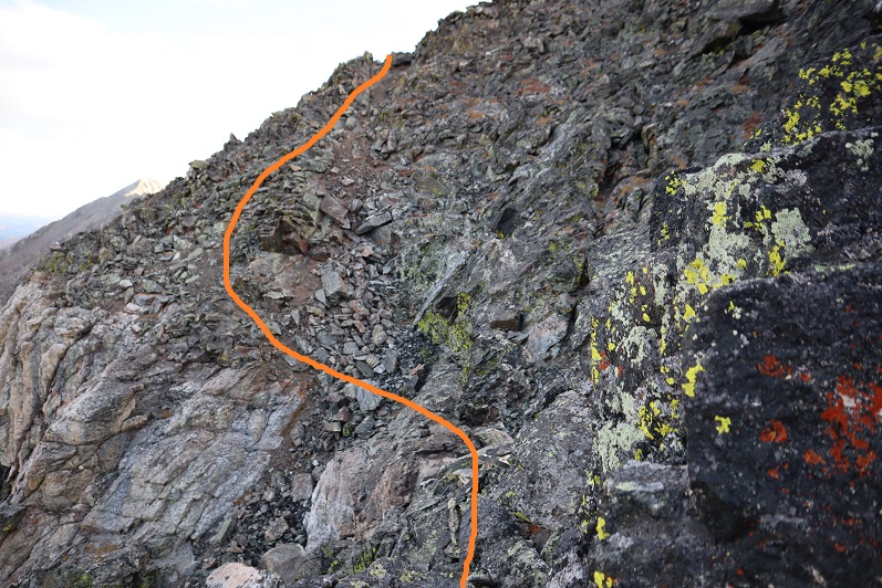
When I made it back to the ridge the wind lessened as I descended out of its path. I followed my tracks back to the plateau
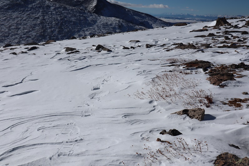

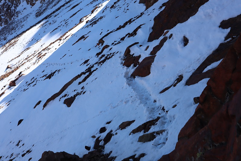
Here you can see how each step varied: sometimes the snow was firm, and other times I’d sink


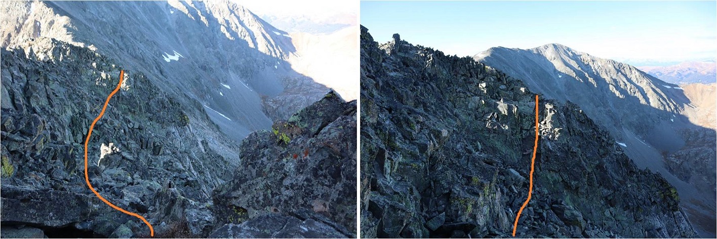
I followed the drainage back down, keeping the drainage to my left. The wind was again strong here, but nothing like it had been on the summit
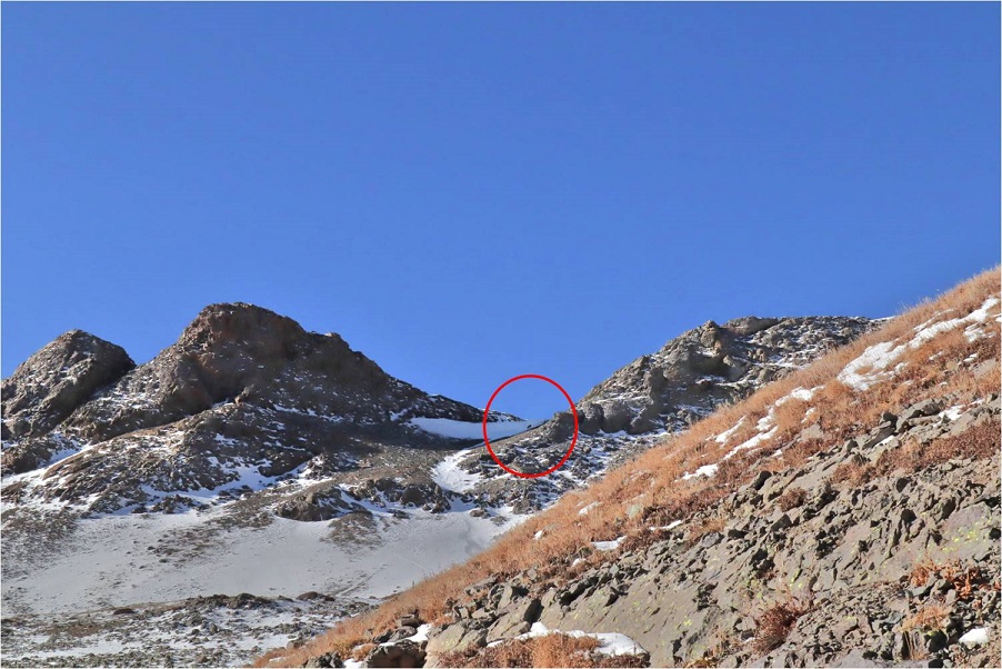
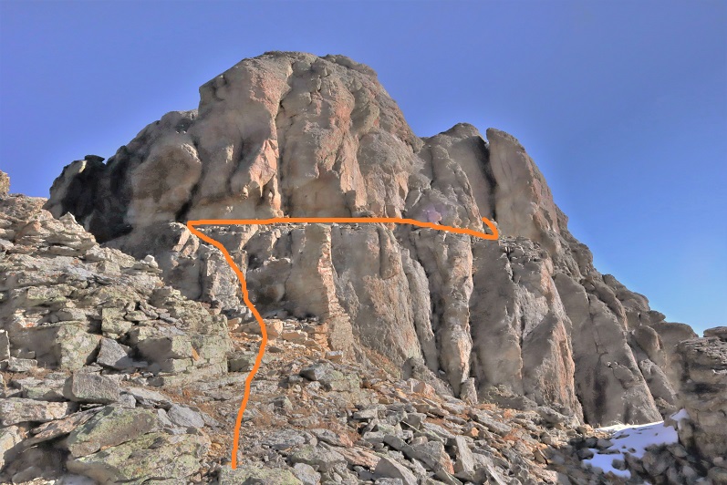
I aimed for this bump in the ridge
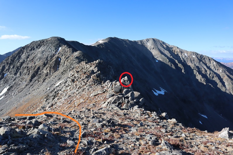
Found the cairn
And headed back down the hillside and into the basin. Here you can see my tracks, along with a bunch of elk prints
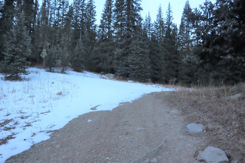
The wind hadn’t been present here, so I was easily able to follow my tracks back to the trail


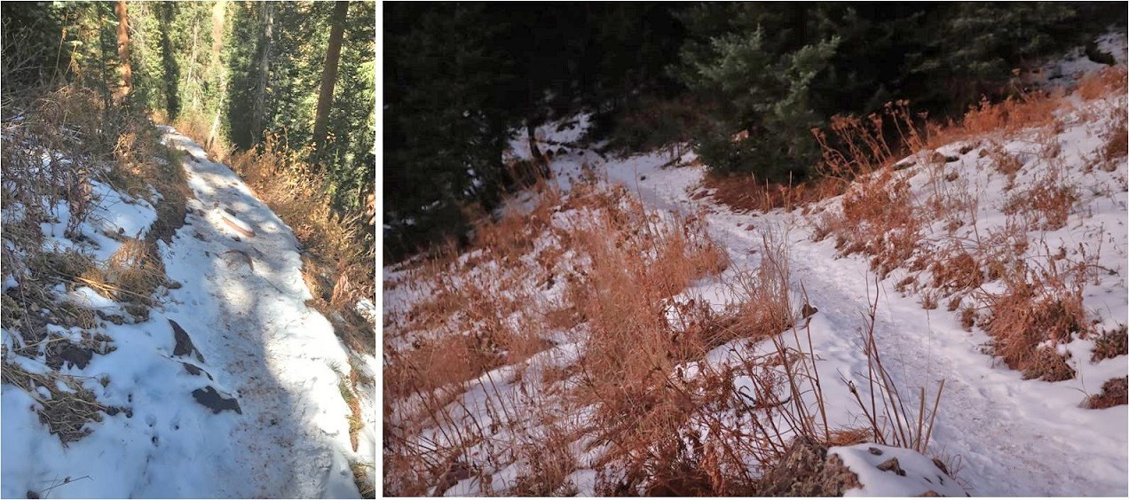
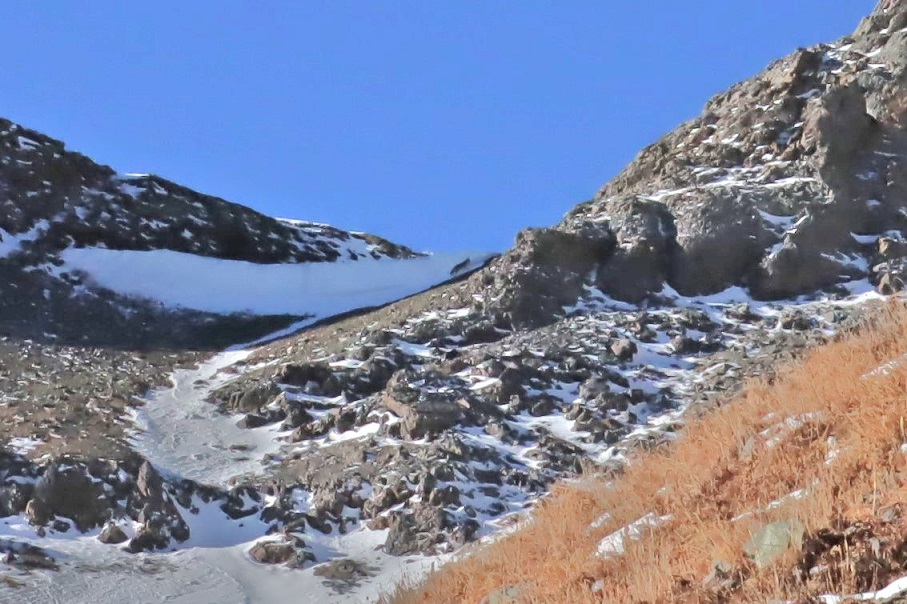
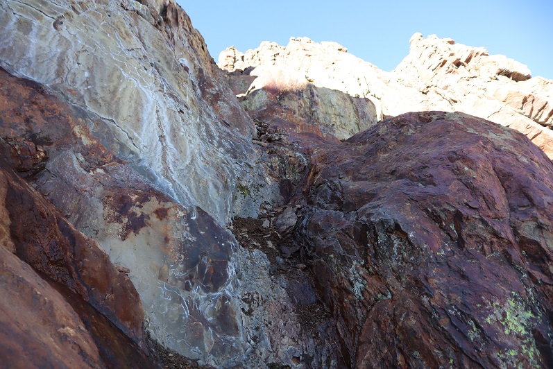
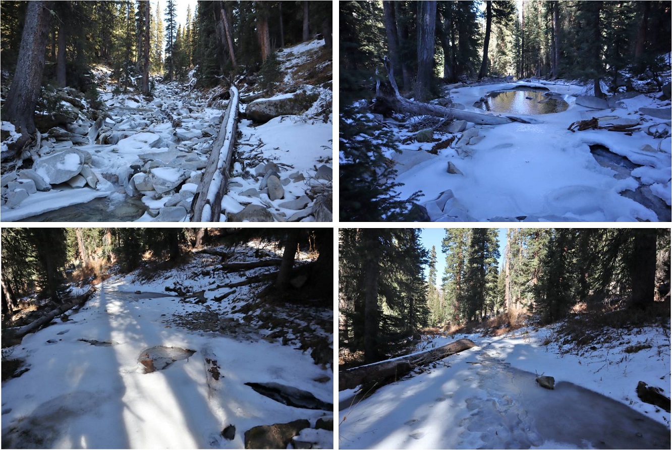
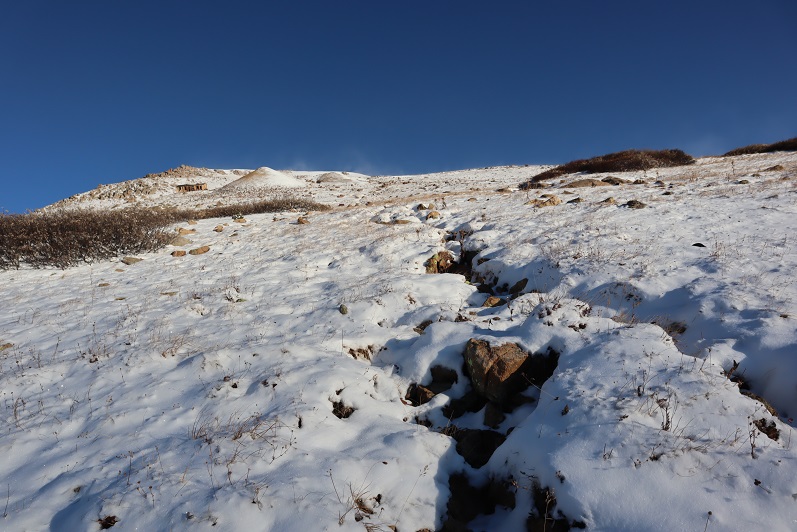
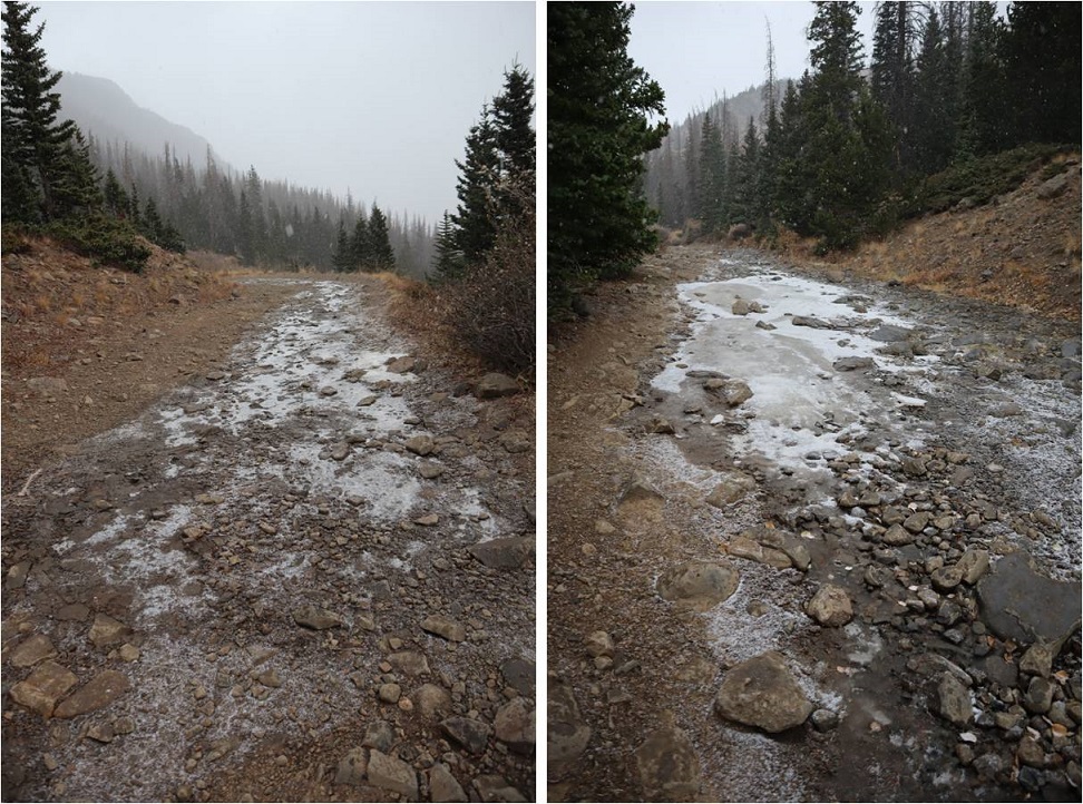
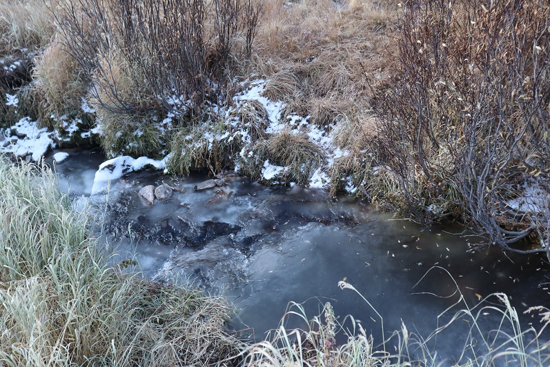
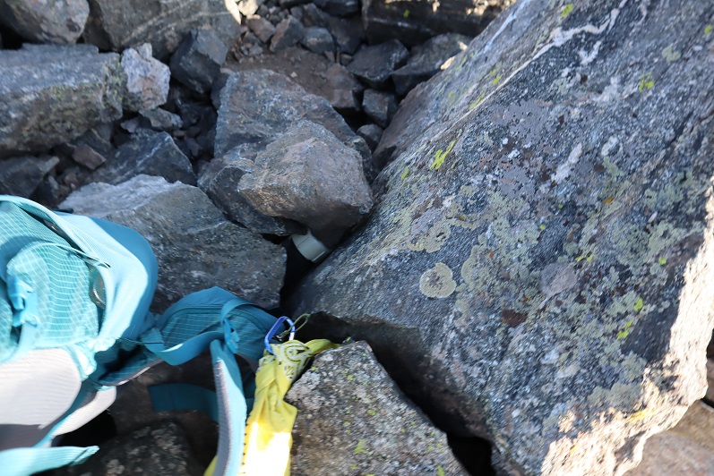
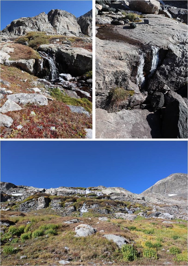
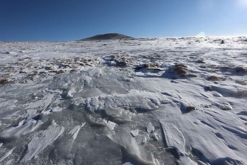
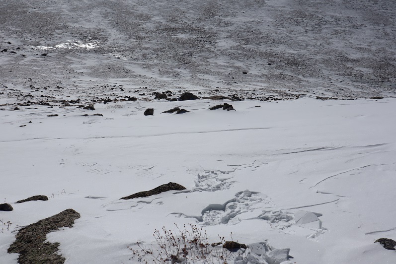
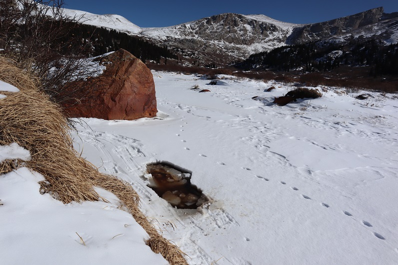
I only ran into an issue once, when an area I’d crossed earlier had warmed up and I stepped through the ice. I’d known water was here and traversed the area slowly. In my snowshoes my foot didn’t even get wet, but this picture shows a break in the ice
I love following animal tracks!

There were tons of moose tracks near the boardwalks in the willows that hadn’t been there when I’d hiked in, but I didn’t see any moose. There was one other vehicle in the parking lot when I left. I didn’t see anyone else all day so I’m assuming they hiked Bierstadt.
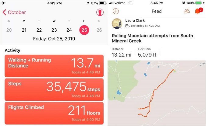
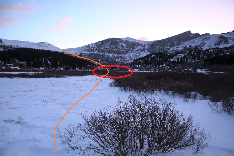
I made it back to my truck at noon, making this a 9.5 mile hike with 2300’ of elevation gain in 5 hours, 20 minutes. When I went to stop my tracker it had shut off about an hour or so into the hike (I’m assuming due to cold) so for mileage I’m going by my iPhone’s tally and for elevation gain I’m just using topo estimates. Red is what Strava recorded, orange is the rest of my route, hand drawn. If there hadn’t been any wind this would have been a really easy day. I was kind of bummed I hadn’t had been able to try Mt Spalding, but there are numerous ways I can hit it next time.

Also, apparently my balaclava hadn’t been entirely covering my face. It had frozen in the wind and I’d thought everything was covered but when I looked in the mirror I had a dime sized sunburn on the tip of my nose. Very cute.