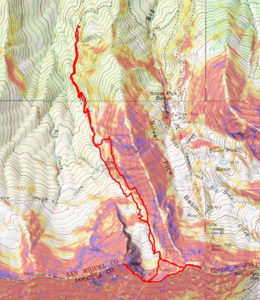
RT Length: 10.53 miles
Elevation Gain: 3985’
I’d already been away from home a few days before this trip, so I stopped at Ouray Hot Springs to get in a quick workout and a shower (they only charge $4 for a shower, which might be nice if you’re hiking around Ouray and want to freshen up every few days). The only downside? The parking was terrible, even on a weekday in the morning.
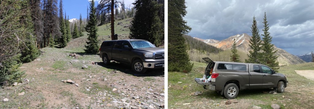
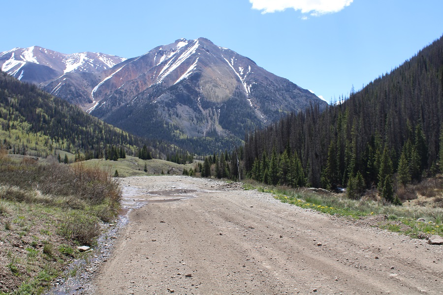
After cleaning up I drove to the Rock of Ages Trailhead. The drive in was a bit bumpier than I remembered, but also fun, because I was seeing what Miles (my new Tacoma) can do. He handled the stream crossing and ruts in the 4WD road without needing to be put into 4WD.

I made it to the trailhead and was the only one in the lot (another good thing about arriving on a Thursday).
I walked around for a bit, and immediately realized the mosquitoes were going to be a problem. I’ve ordered a topper for Miles, but it’ll take up to 3 months to get here, so until then I’m sleeping in the back seat of the cab (It’s a tight fit but luckily I’m small). I made the decision to get to bed as soon as possible. I ended up waking up several times during the night because I was so warm, but at least waking up ended one of my nightmares: a dream about sharks in a swimming pool swallowing children whole.
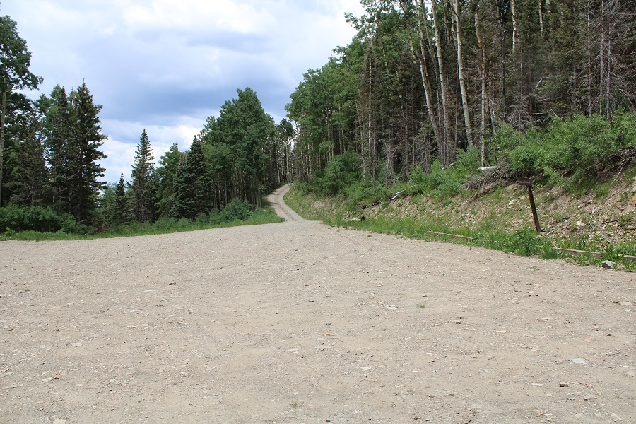
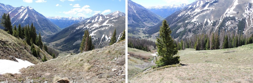
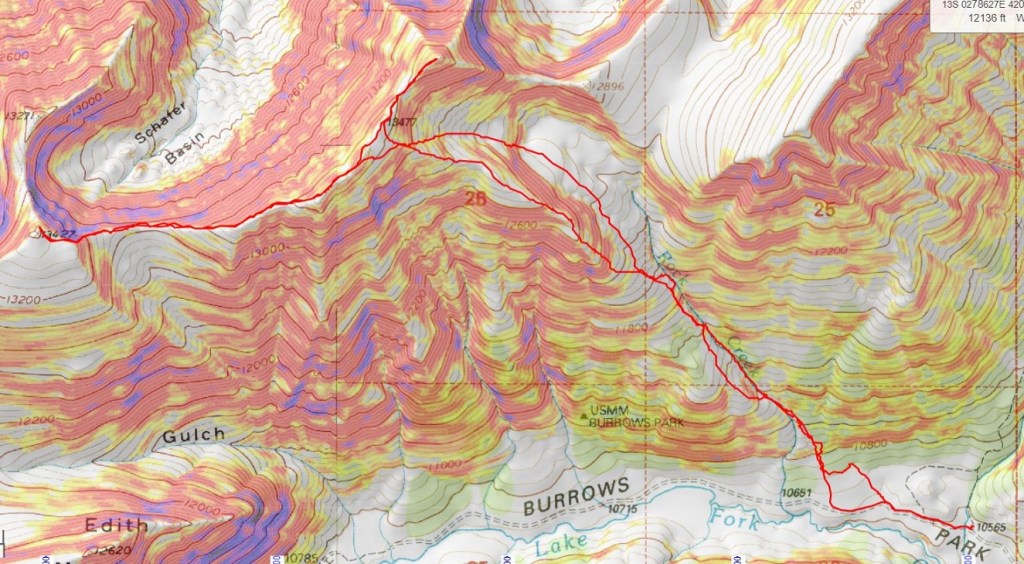
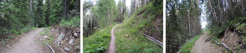
Ok. So, I woke up and was on the trail at 4:15am. The route starts at the south end of the parking area, and follows a well-defined trail south.
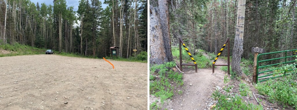
I quickly came to a gate, and walked around it.

Next, I saw this sign to my right, and continued on the trail

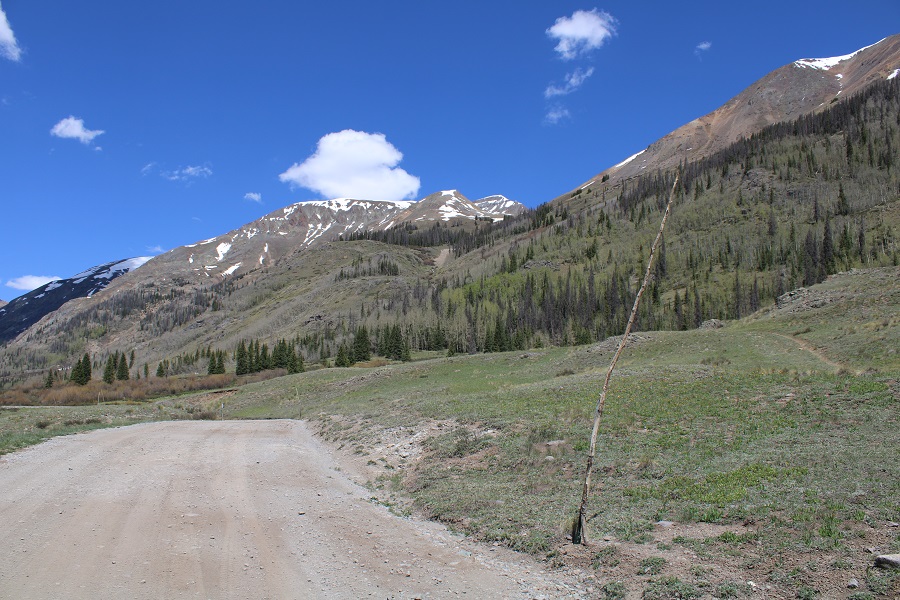
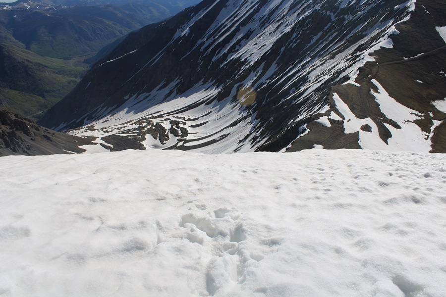
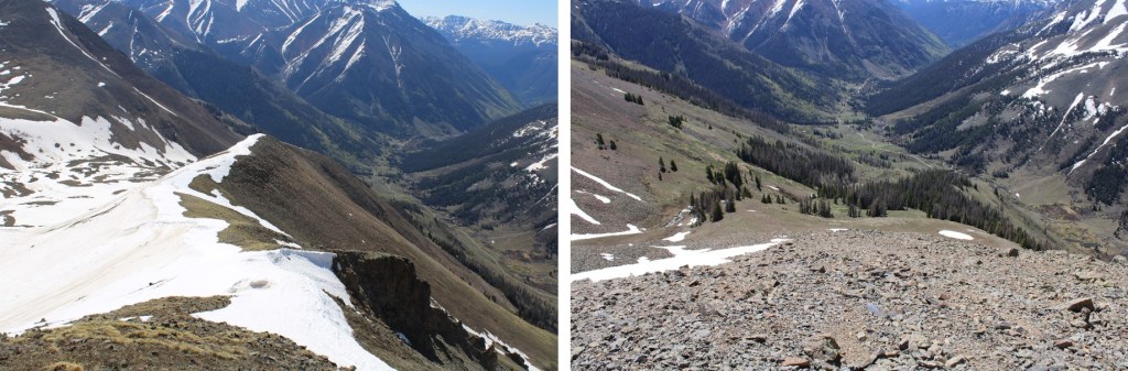
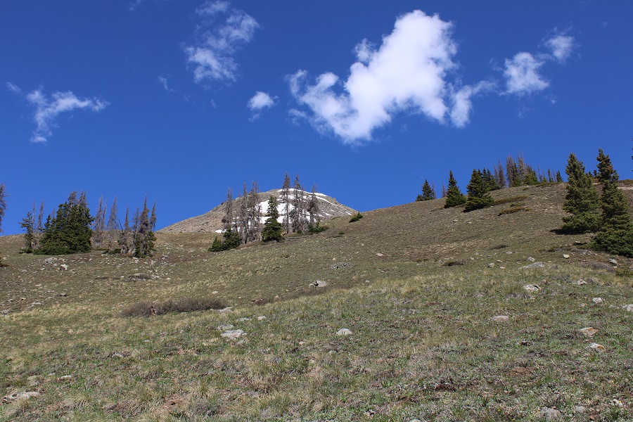
I followed the trail to treeline.

Shortly after making it to treeline I came to the Elk Creek Trail junction. From here there are several options, but your main goal is to make it into the basin. You can follow Elk Creek Trail and lose some elevation, then follow a faint road into the basin. Or, you could continue along the Rock of Ages trail and eventually hook up with the 4WD road that enters the basin from above (a bit chossy, but I chose to take it on the way out). On my way in it was dark, I couldn’t see any of these ‘routes’, and I chose to just head straight into the basin.
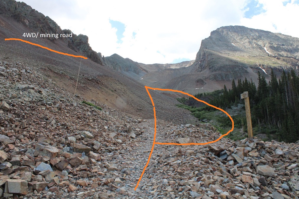
If you take the mining road, here’s what the entrance looks like from the Rock of Ages trail. It’s about half a mile past the Elk Creek Trail junction, on your right.

If you take the upper road, this is what the junction from the trail to the road looks like
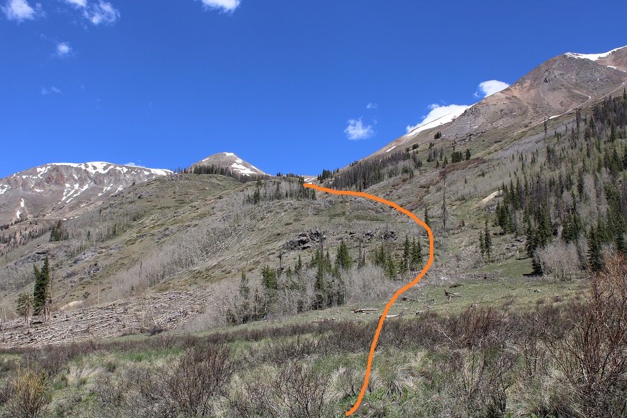
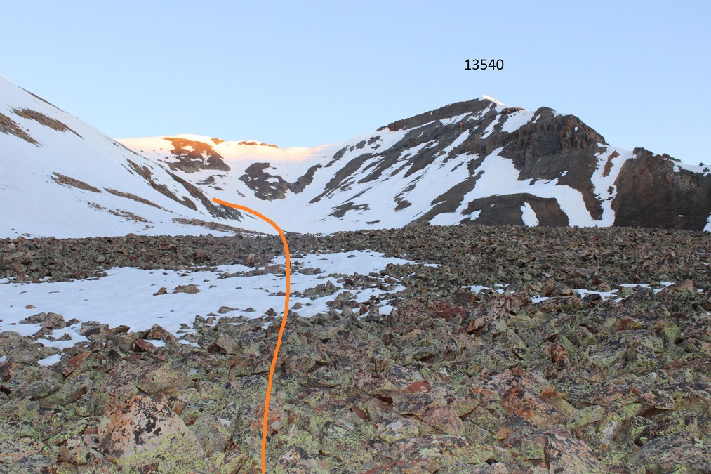
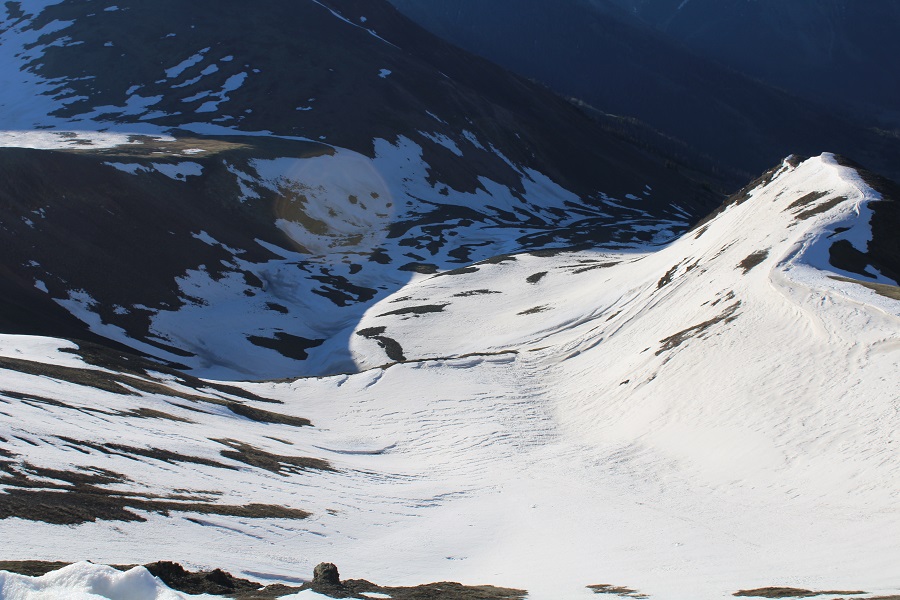
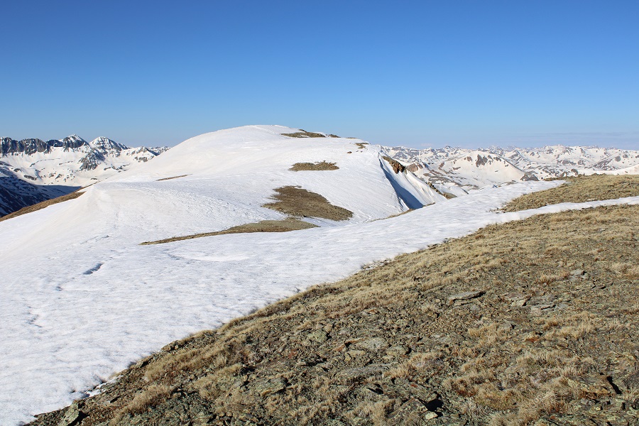
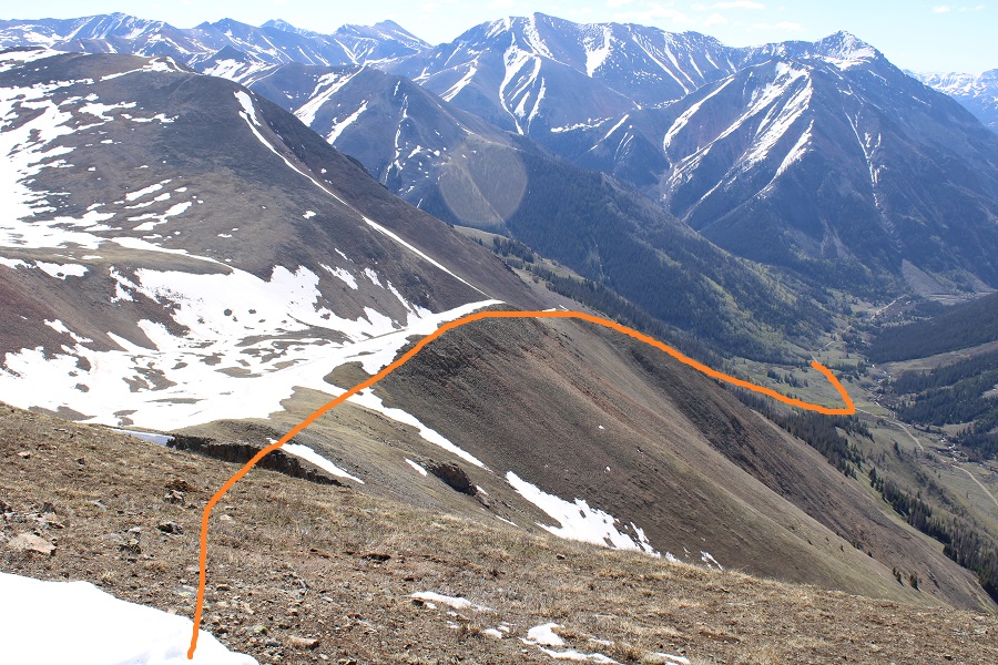
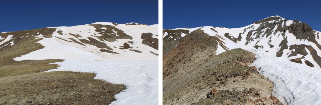
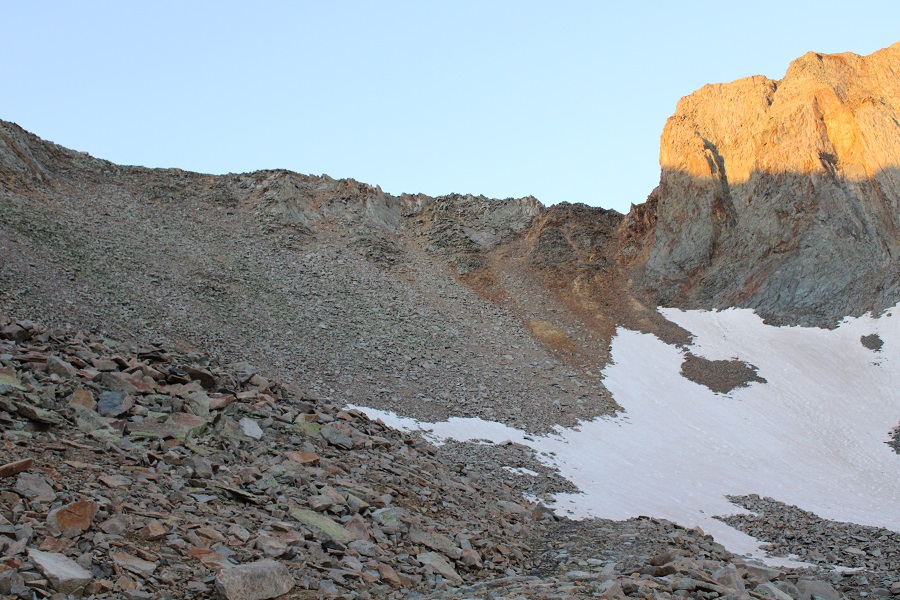
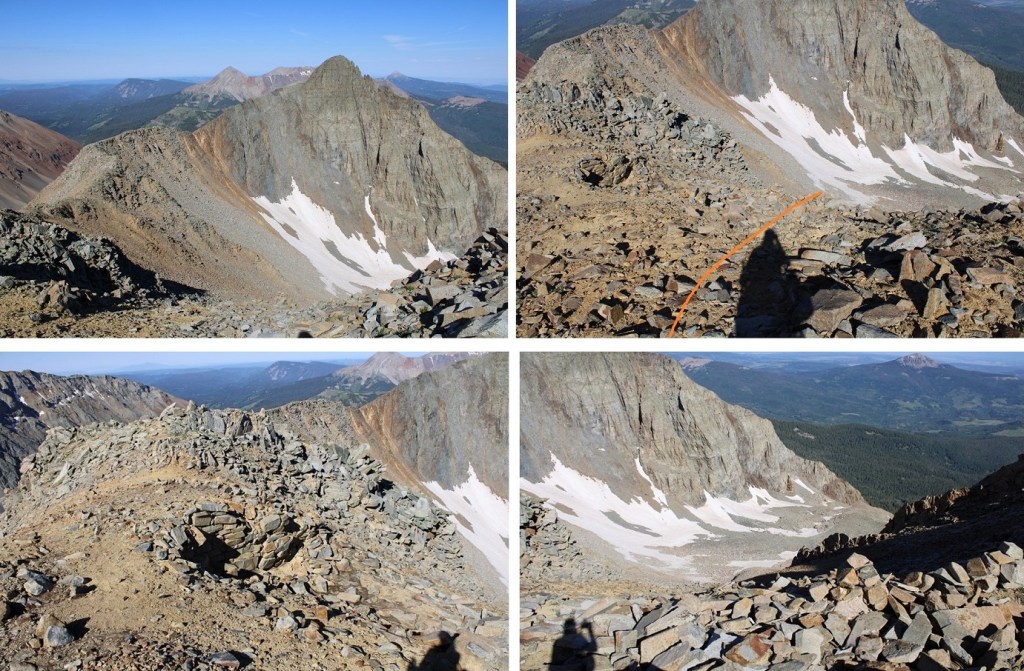
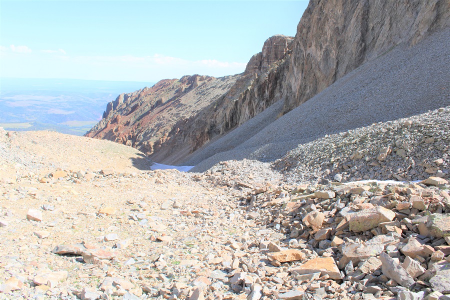
In any event, I made my way into the basin. Here are the routes. To the left you can see the mining road, and to the right you can see the abandoned dirt road. They both lead to the same place. (On my way in I didn’t see either of these roads and just headed south through the basin).

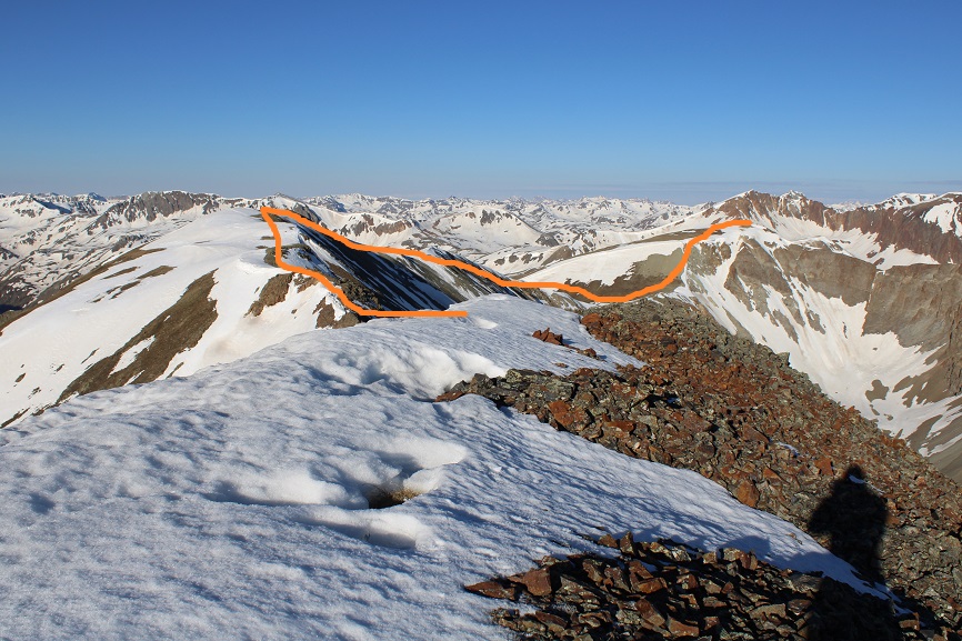
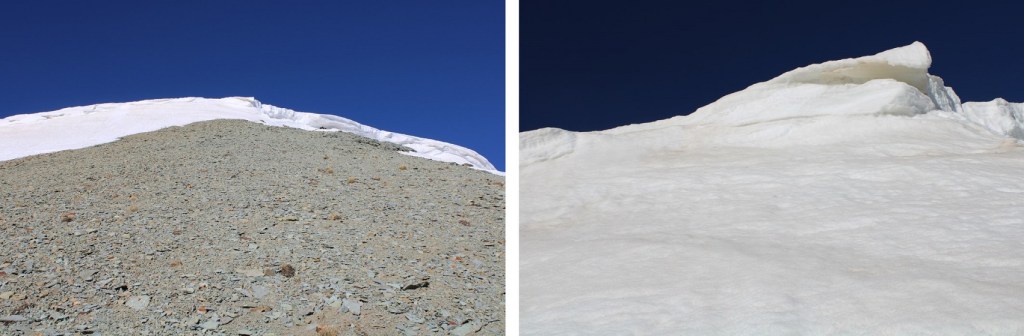
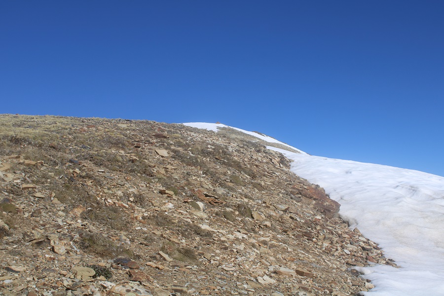
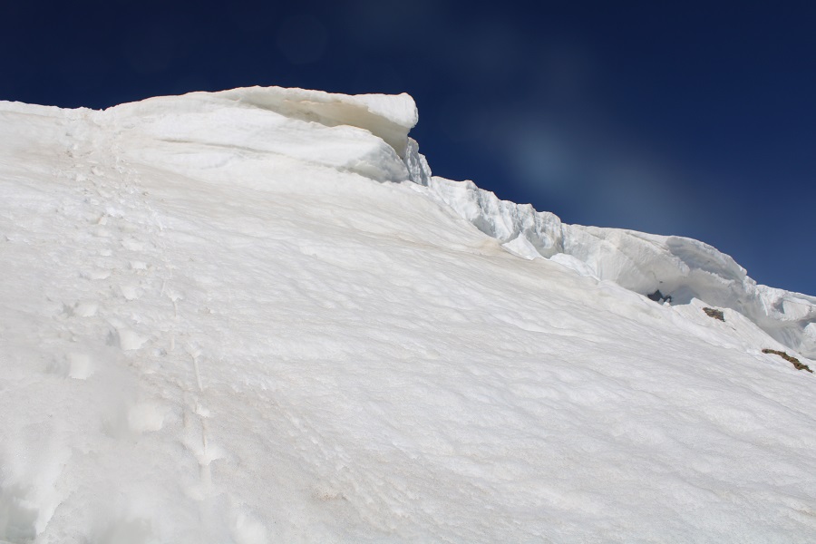
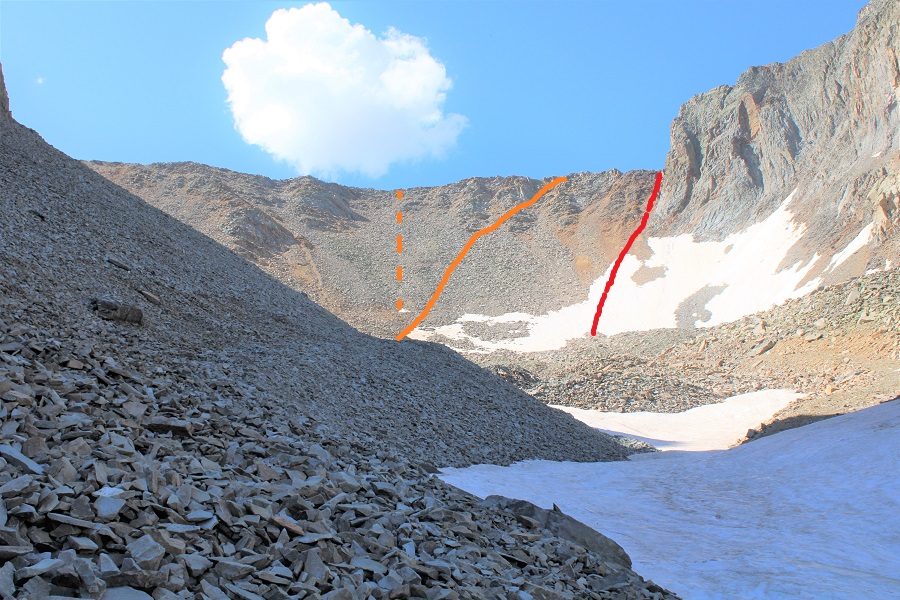
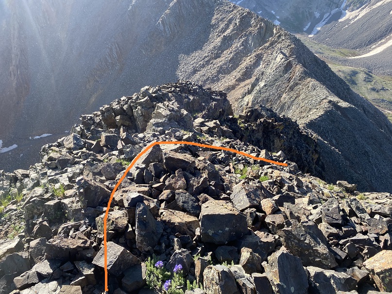
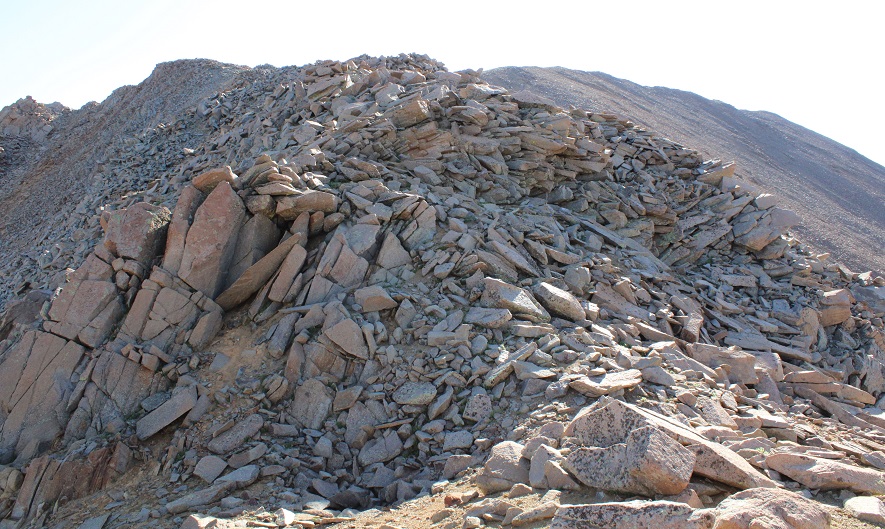
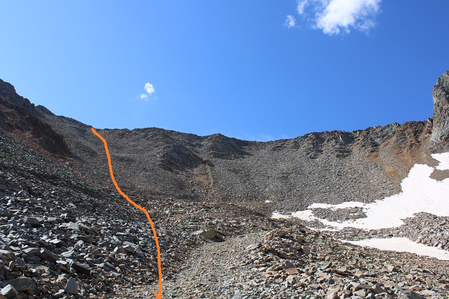
Once in the upper basin you want to gain the ridge. This sounds easier than it turned out to be. It’s “choose your own adventure”, and on the way up I chose wrong. I ended up getting into some class 4 scrambling, which was unnecessary. It’s my advice to do PT 13540 first, and gain the ridge to the left (southeast). However, all areas here ‘go’, if you’re willing to do some scrambling. When I made it to the ridge I found thick wire cording going where the red line is (I’m guessing that could be used as leverage if needed: it wasn’t moving anywhere). I ascended via the orange line. The dotted orange line is probably a better route. The best route is my descent route (pictured later).
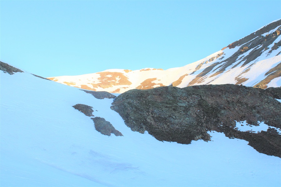
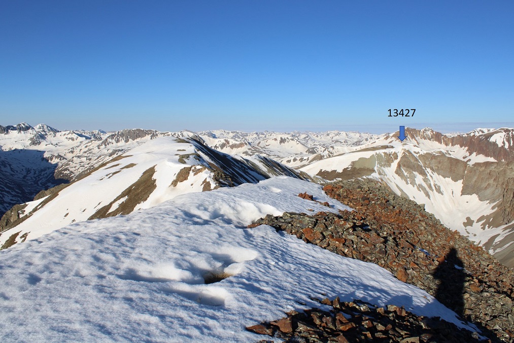
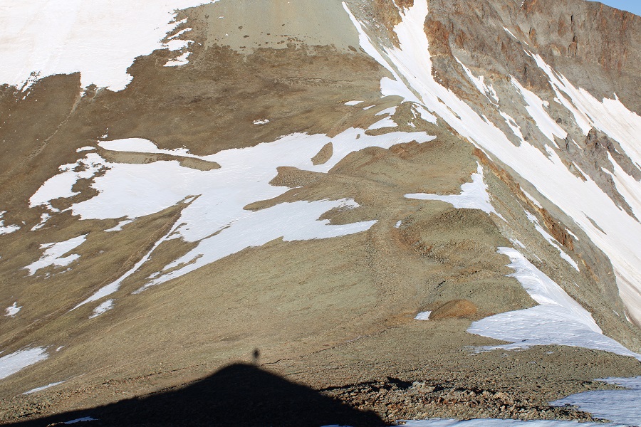
I’ll spare you the scree-y and large-loose-rocky gully details of ascending the ridge. Once on the ridge I turned right and followed the ridge southwest towards Fowler. The ridge was all class 2

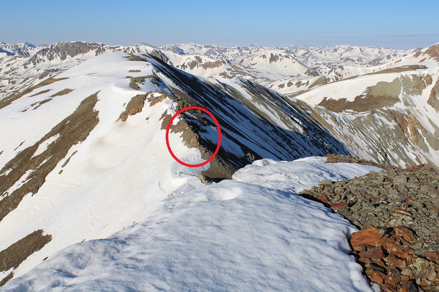
If you haven’t already, now is a good time to put on your helmet. Here’s a picture of that cable I was telling you about. It goes up and over both sides of the saddle.
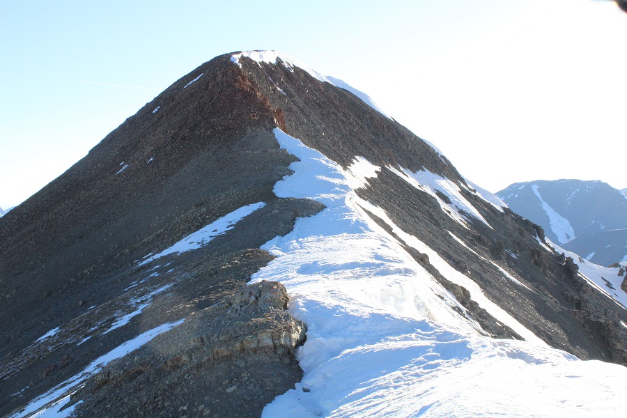
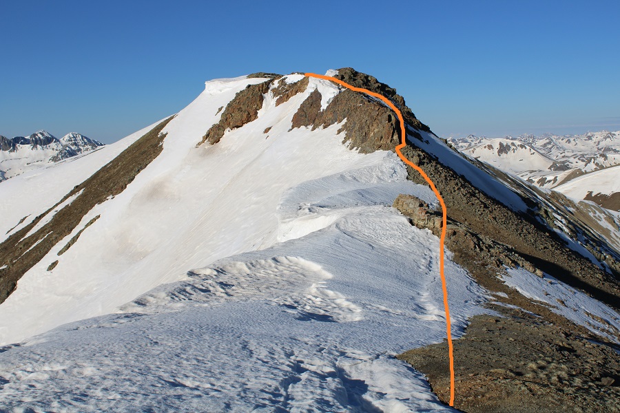
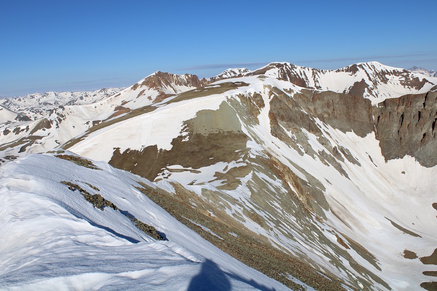
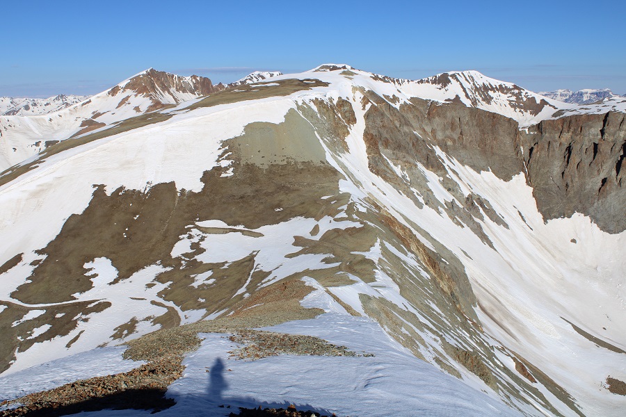
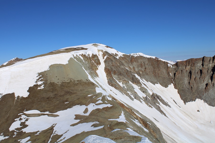
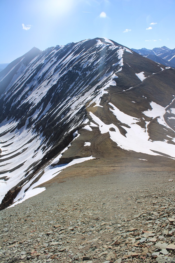
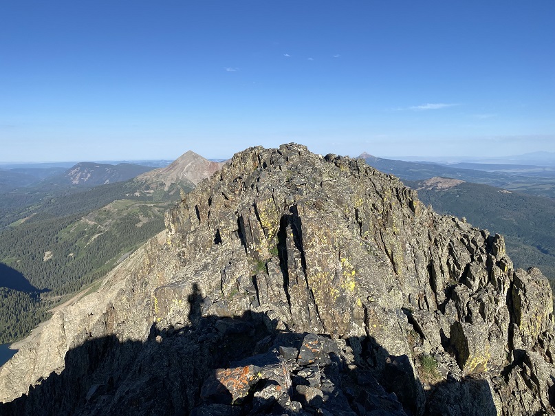
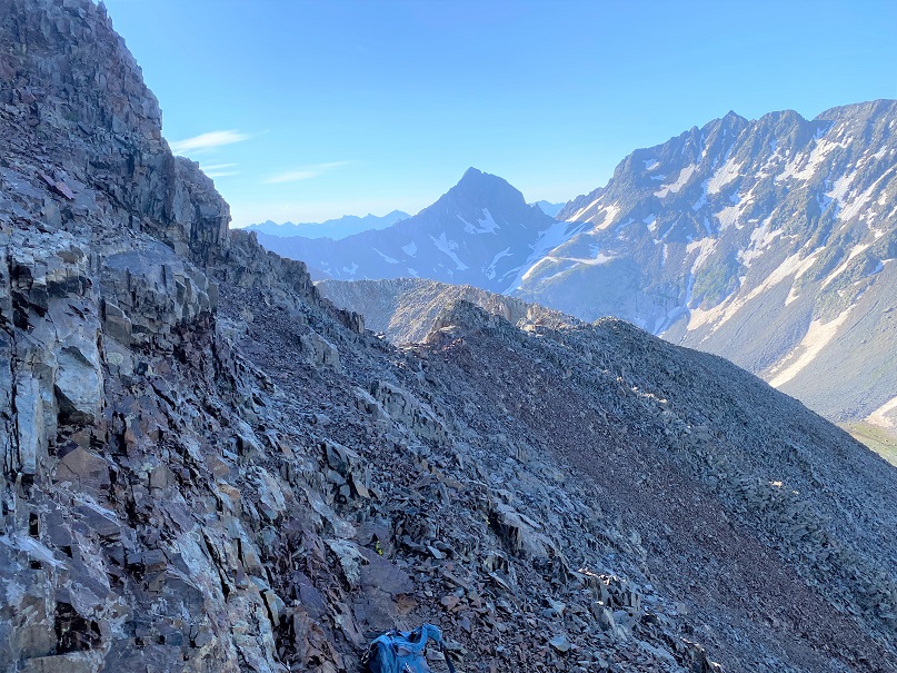
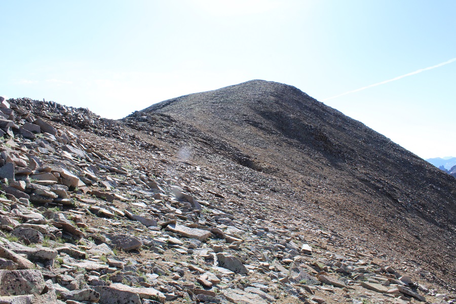
Here’s an overall view of the rest of the route to summit Fowler.
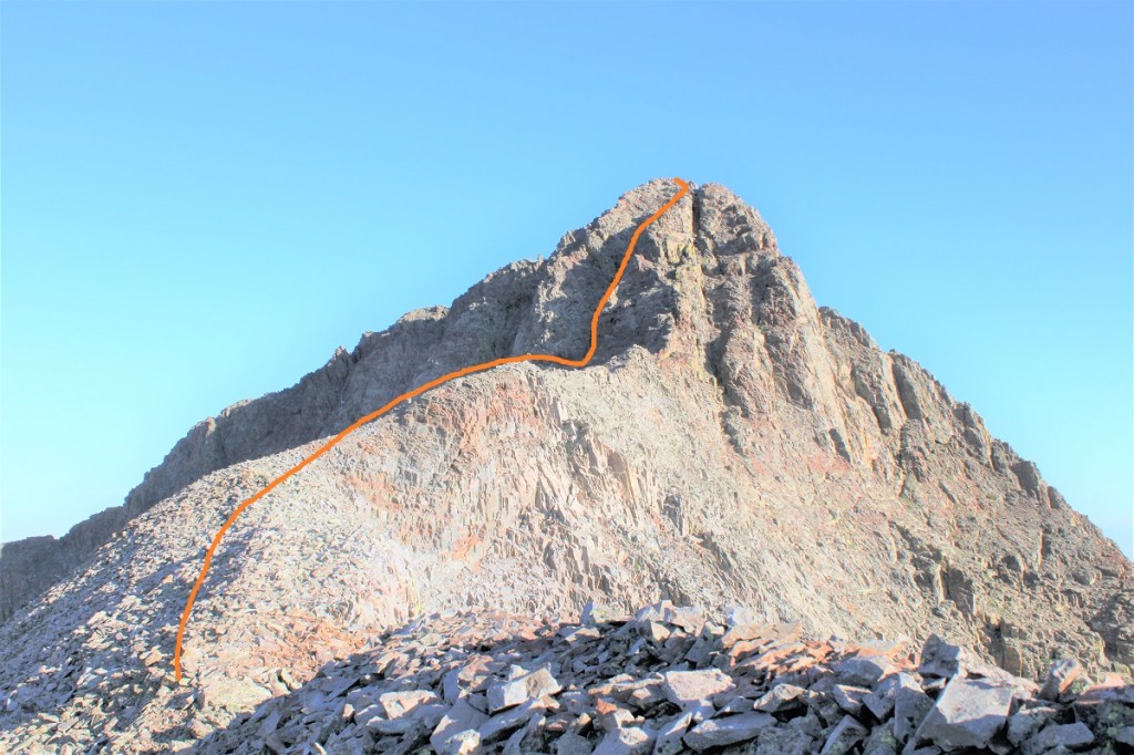
And step by step: It started out chossy as I ascended the ridge

I made my way to the gully to the left/middle. This area had more solid rock, but it was littered with scree/rubble. At the base of the gully I took off my pack and decided to go up with just my cell phone (and a summit register in my pocket, just in case).

This is the class 4 part of the climb, and lasted for about 120 feet of vertical gain. I started by going straight up the gully. Here’s my route:
Step 1: ascend the chimney. I went to the right of the chimney, and found adequate hand/foot holds.
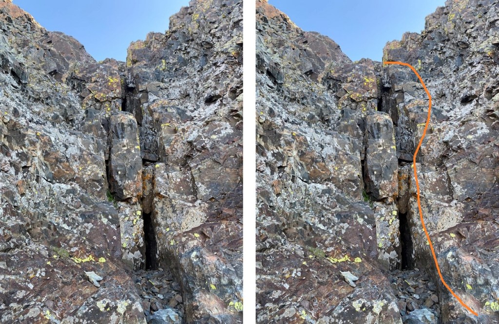
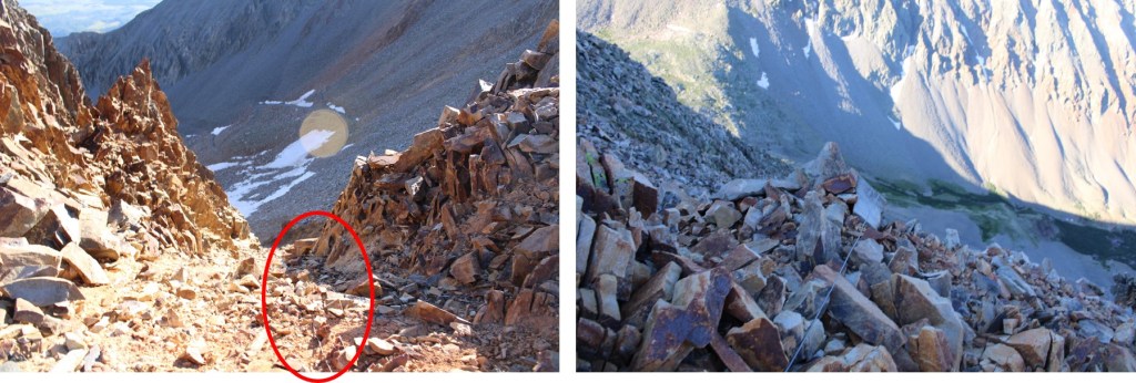
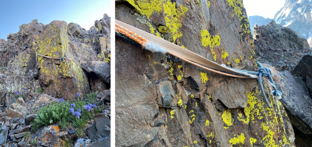
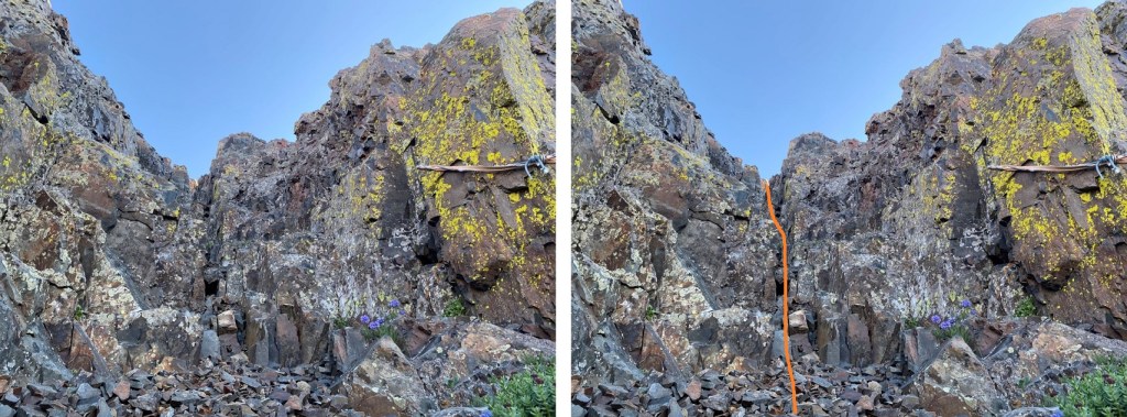
Step 2: Once above the chimney I stayed to the center of the gully. This is also where I saw an anchor set up (circled in red).

If you decide to rappel here, bring a new anchor, as this one looks like it’s been here for a while, and what’s been added to it doesn’t look recent either.
Step 3: From the anchor I continued straight up the gully (still class 4)
Step 4: Here’s a view of the last bit of the gully, before topping out. This felt class 3
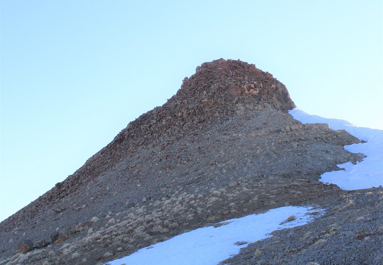
At the top of the gully I turned left and headed towards the summit. It was a bit of a false summit, but all class 2/easy 3
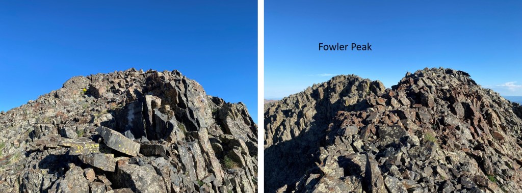
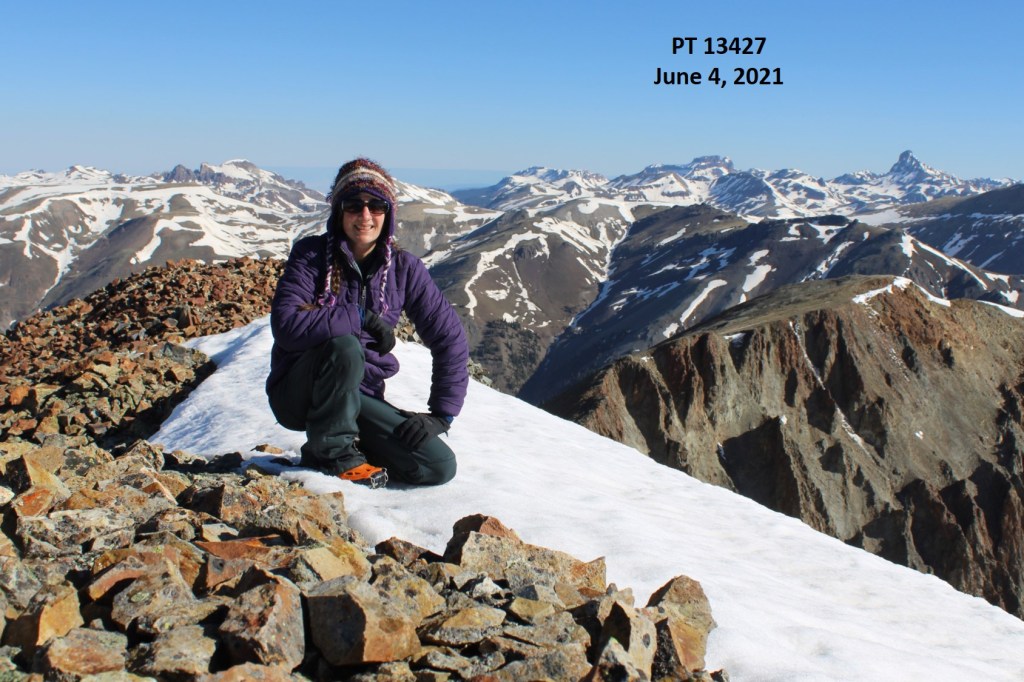
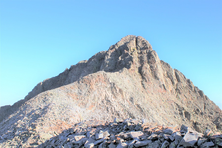
I summited Fowler Peak at 7:45am

Fowler Peak:
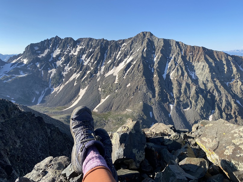
I sat and enjoyed my views of the Wilson/El Diente Traverse for a few minutes before heading back.
There was a summit register, but it was one of those tube ones. It hadn’t been closed properly and all the papers inside were wet, so I left it and also added a new register with dry paper to write on. And a new pencil. Here are some pictures of the trek back to the saddle
Back down the gully
To my stashed gear and back to the ridge.
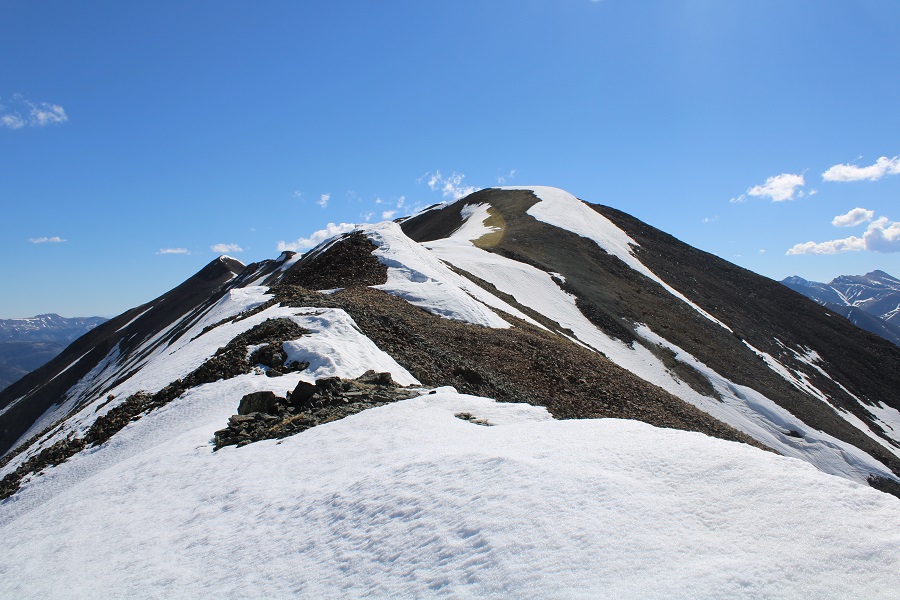
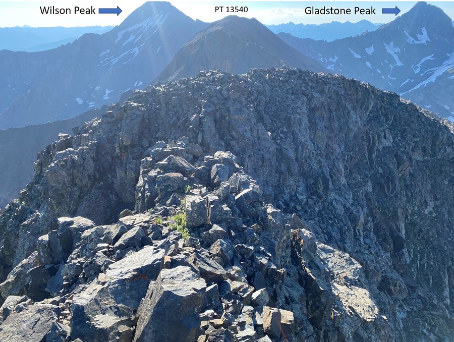
I followed the ridge over to PT 13540. This was a simple ridge hike, if a bit loose. Lots of rocks here. I stuck mostly to the ridge the entire time, only dipping to the right a few times when necessary.
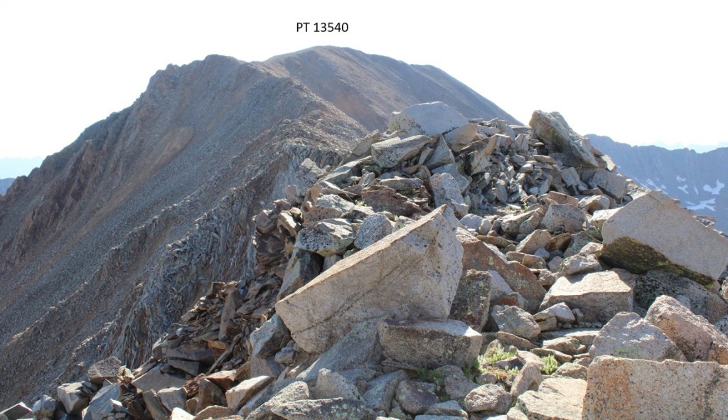
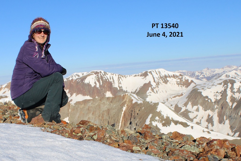
I summited PT 13540 at 9am
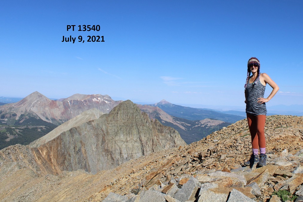
PT 13540:
I worked my way back towards the Fowler/PT 13540 saddle

Once at the saddle there was what looked to be a boarded-up mine. In fact, it looked like everything here had been blown up at some point, except this area, which was strategically filled with large rocks (but may have been blown up too). I passed it and headed northeast back to the old mining road
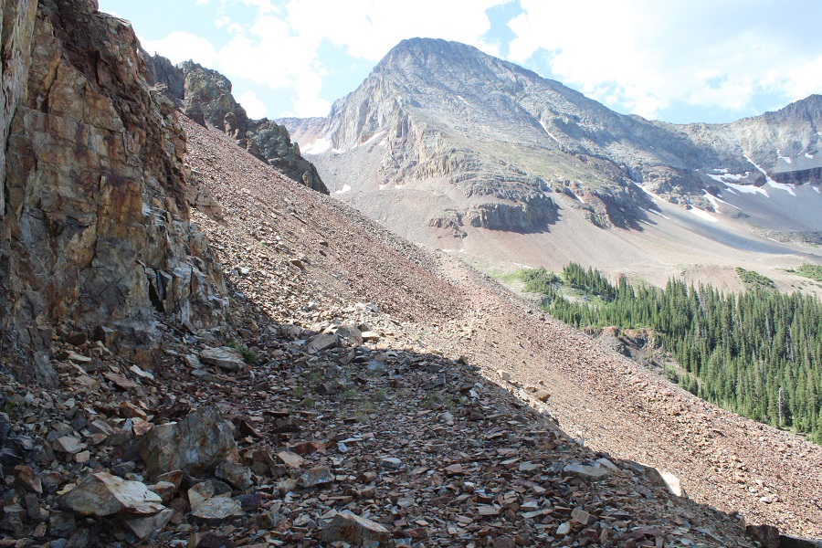
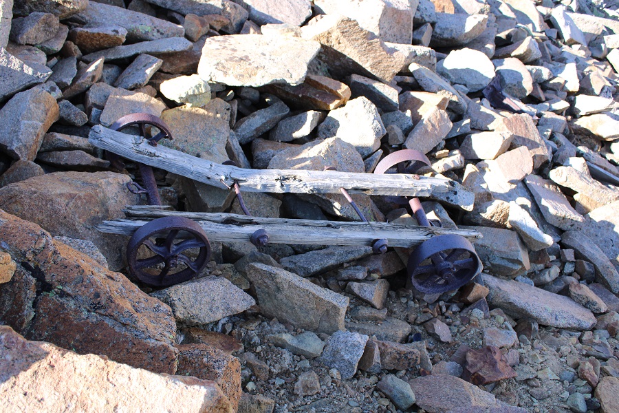
This area was steep, and I did some scree surfing, but it was much easier to navigate when compared to the route I took to ascend the ridge. I saw tons of mining trash here: lots of old cans and pieces of mining equipment, most of which were in small pieces, all made out of cast iron. This was the most intact item I came across
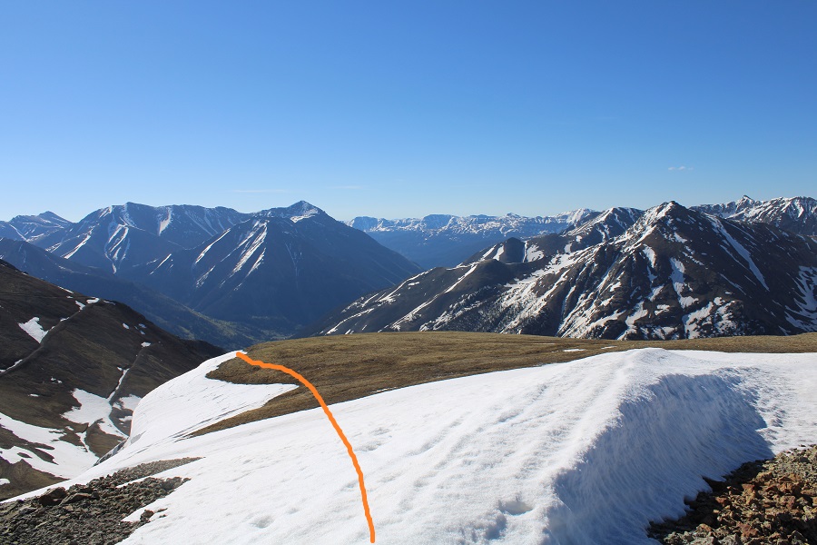
Here’s the route I took down from the ridge (I’d recommend ascending this way as well)
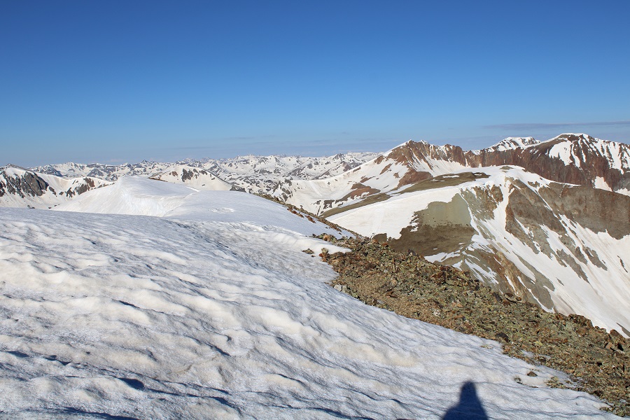
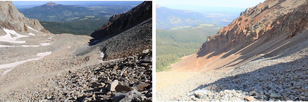
Once back on the road you once again have options to exit the basin. You can stay high, to the right/east, and follow the old mining road, or you can stay low and left/west, and follow an old dirt road.
Here’s a better look at both roads. Both take you out of the basin, and back to Elk Creek Trail / Rock of Ages trail (If you take the mining road all the way to the Rock of Ages trail, turn left and follow it to the Elk Creek Trail junction, and then continue following the Rock of Ages trail).

Once back on the trail I followed it through the trees northwest, back to the trailhead.
I made it back to my truck at 11:15am, making this a 10.53 mile hike with 3985’ of elevation gain in 7 hours.
It was still early, and quite warm, and the mosquitoes hadn’t magically disappeared overnight. I had a friend meeting me here at 6pm to hike Wilson Peak tomorrow, so I’d planned on staying at the trailhead until he got there, then heading to bed. I’d brought a lot of things to do, but they all required sitting down, and once I did that the mosquitoes swarmed me. It was like one would find me and sing its song to its friends and there’d be dozens to shoo away.
If I was outside I needed to have a jacket on, but it was hot! I tried sitting in my truck with the air conditioning on, but that wasn’t going to work for 7 hours straight. It was kind of funny watching the mosquitoes (and flies!!!) swarm my truck: they seemed to know I was in there with the air conditioning on.
So, I entertained myself for the next 7 hours by reading. I got out my current book (On the Road by Jack Kerouac) and read while steadily walking around the trailhead in circles. Continuously moving seemed to keep the mosquitoes at bay. Luckily, the trailhead has a large parking area and I was the only one there. Every few hours I’d take a break in my truck, and then get out and read again. I would have started a campfire to shoo the bugs away, but they’re currently banned. I can’t wait to get the topper on my truck! It would have solved the mosquito/heat problem.