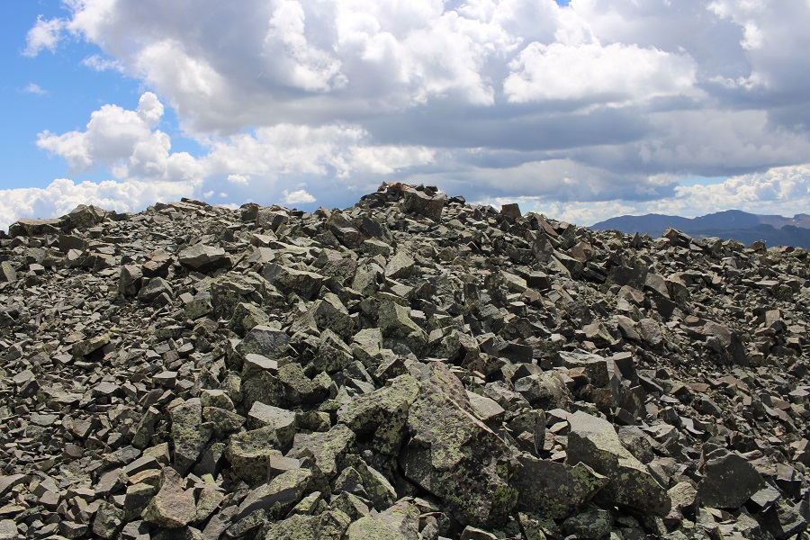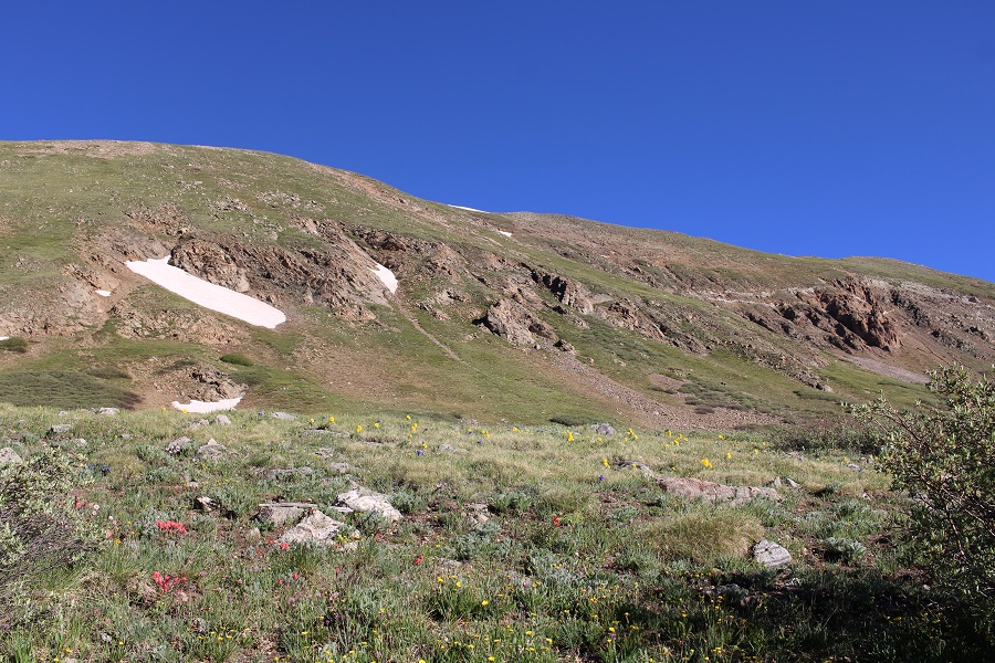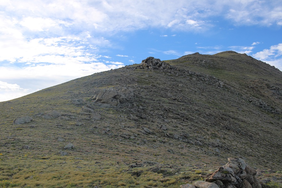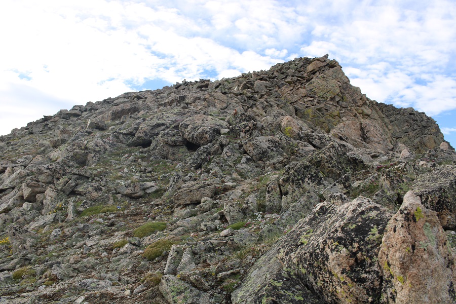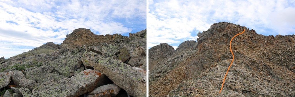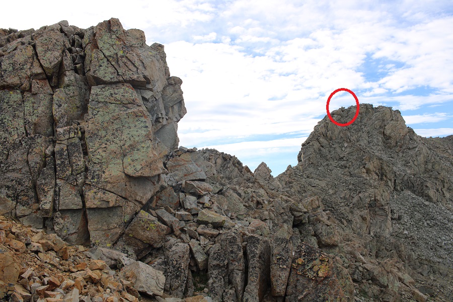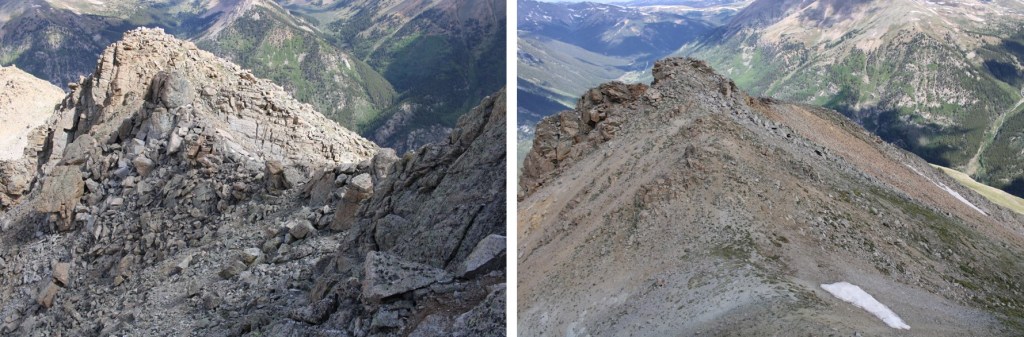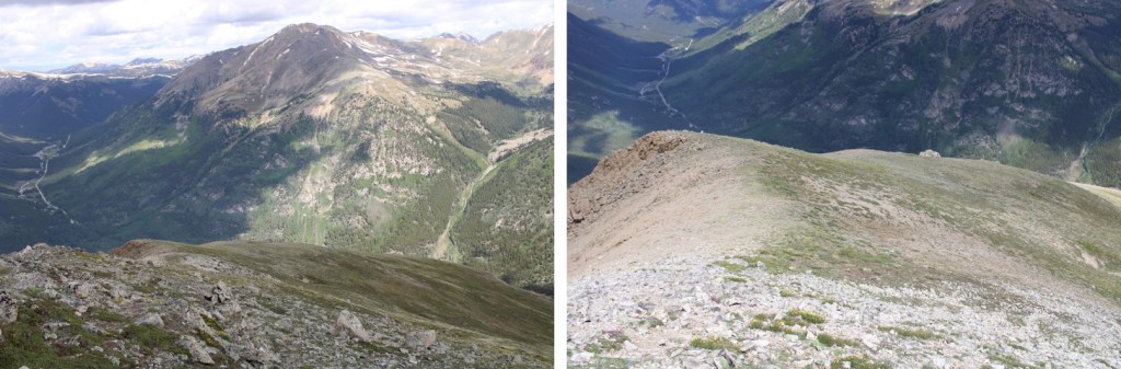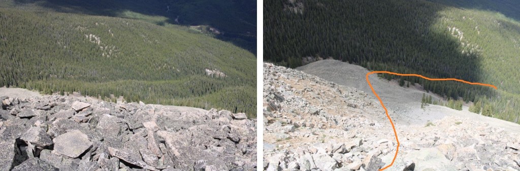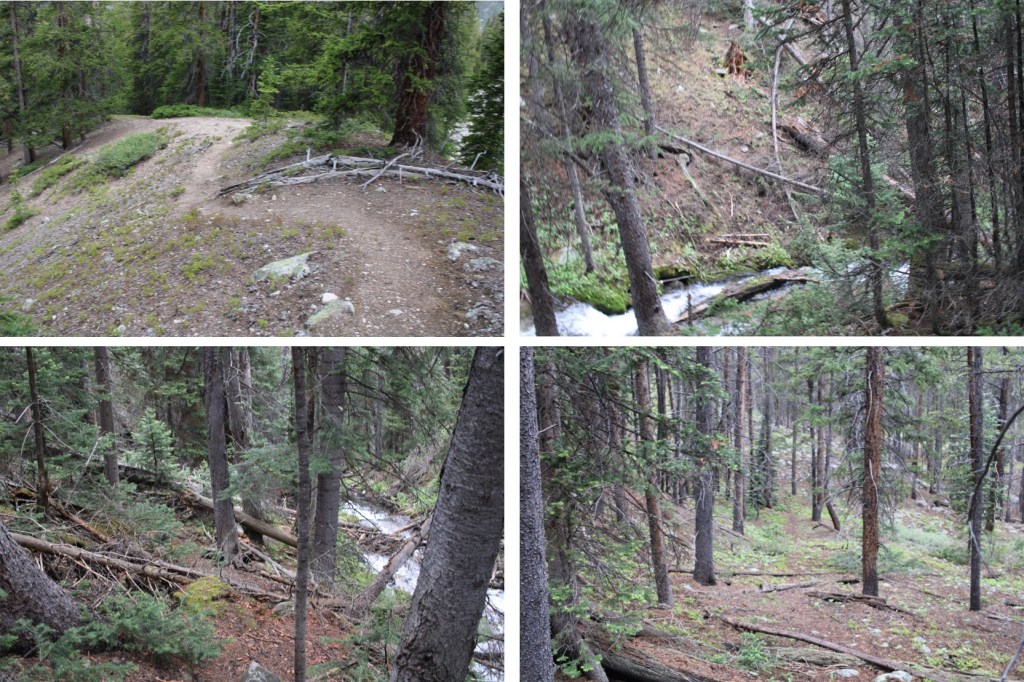
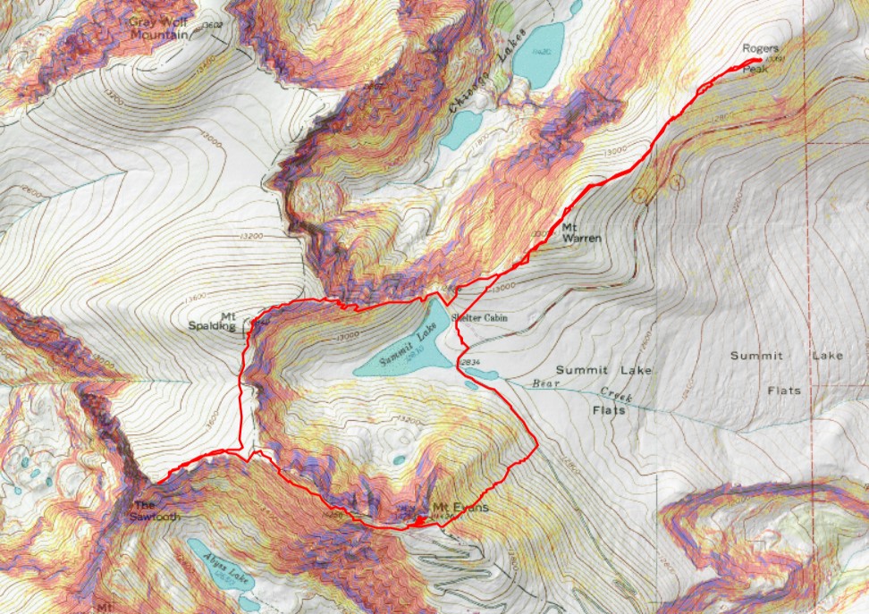
Warren Peak – 13,307 – Rogers Peak – 13,391 – Mt Spalding – 13,863 – The Sawtooth – 13,520 – West Evans – 14,257 – Mt Evans – 14,268

RT Length:  10.28 miles

Elevation Gain:  3263’

The permit system was simple, especially for Summit Lake. I bought it the day before, and there were 23 spots left for entry between 8-10am, the time I picked since it was the earliest. There were two other vehicles in the parking lot when I was on the trail at 4:45am. 

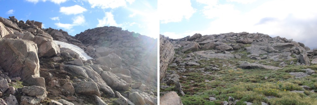
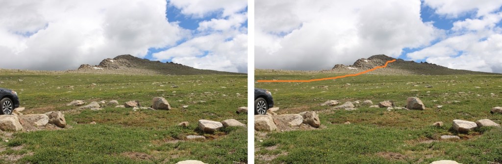
I was headed northeast, to the summit of Mt Warren.  This was simple, class 2, and straightforward.  Except it was dark and the rocks were slippery because of the rain.  Here’s the route I took.
After hiking northwest for .75 miles, I summited Mt Warren at 5:10am
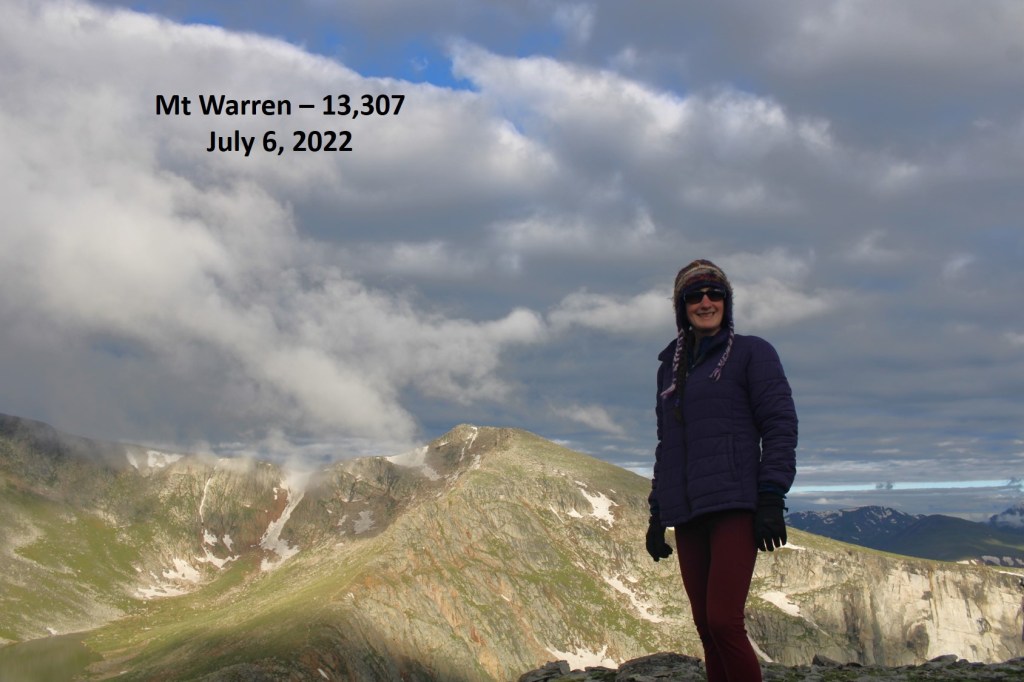
Mt Warren:

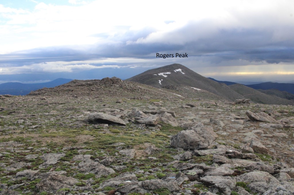
I continued following the ridge northwest, to the summit of Rogers Peak.  This was also class 2
The summit of Rogers Peak is the top of this rock. 
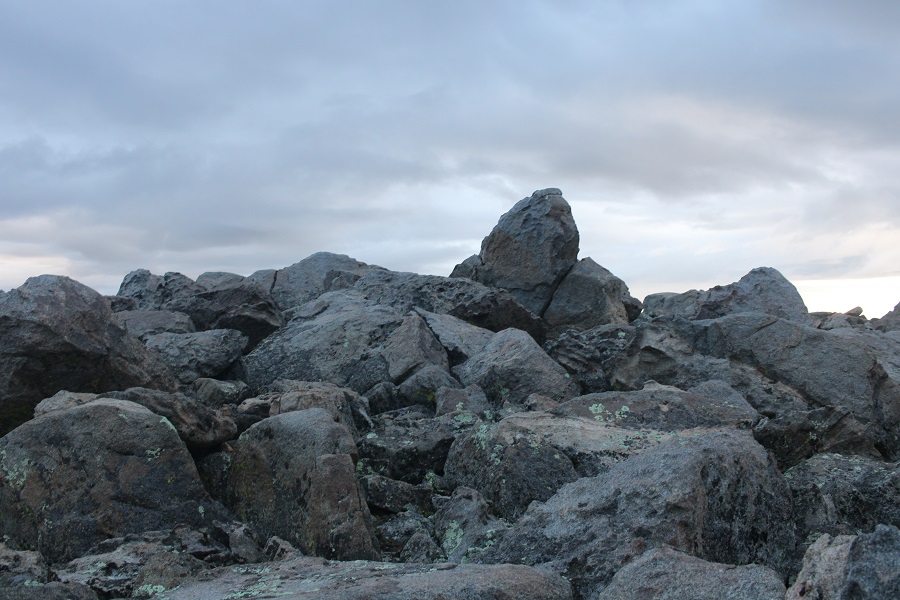
I climbed up it (not difficult) but took the video from below. 
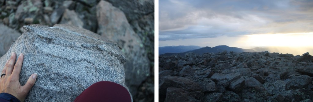
I summited Rogers Peak at 6am

Rogers Peak:  

Now to re-trace my steps back to Summit Lake.

I re-summited Mt Warren, and continued southwest towards Summit Lake

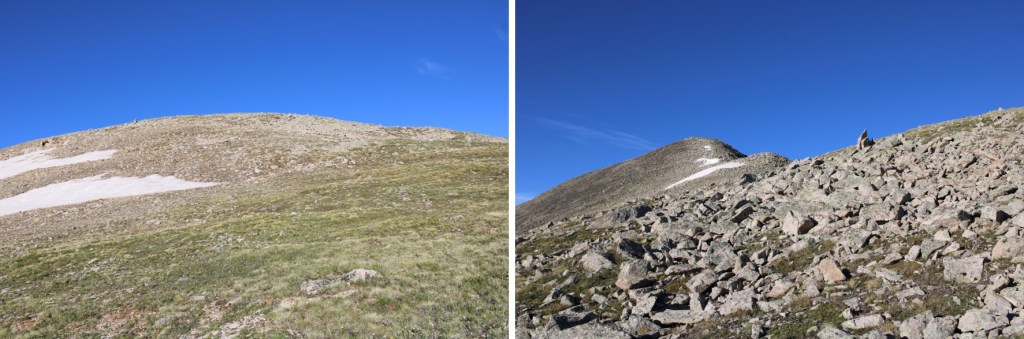
Once at Summit Lake, there was a class 1 trail that let me up to the summit of Mt Spalding
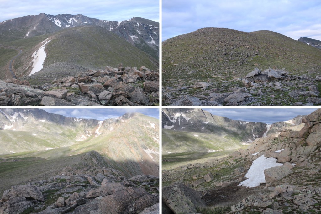
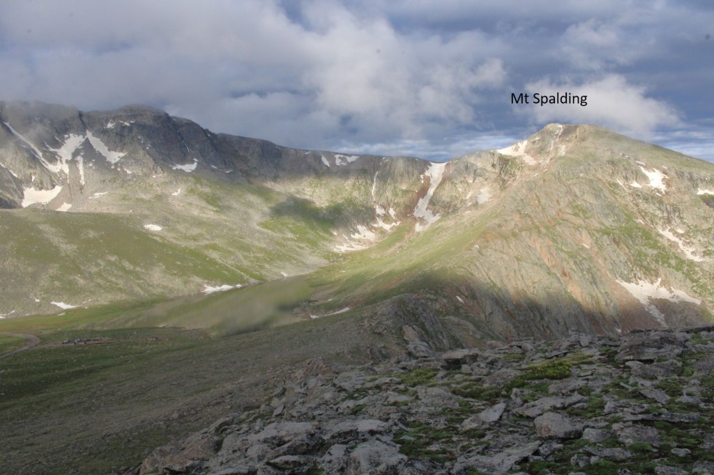
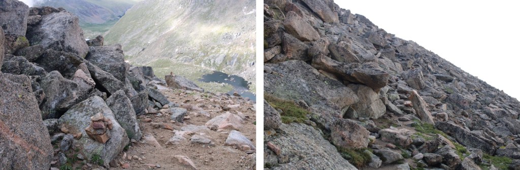
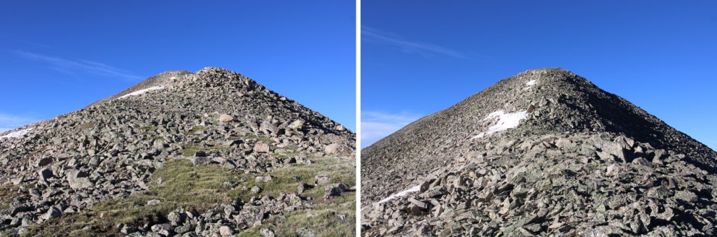
While this was class 1, there were a couple of quick class 3 scrambling moves.  Large cairns made the route obvious
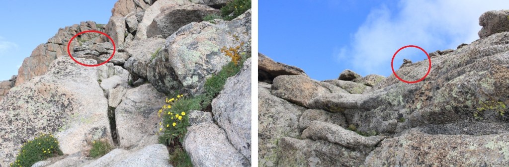
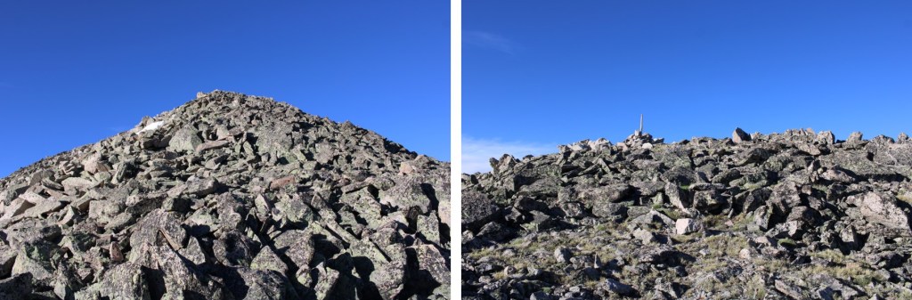
I continued following the ridge west towards the summit, on the class 1 trail
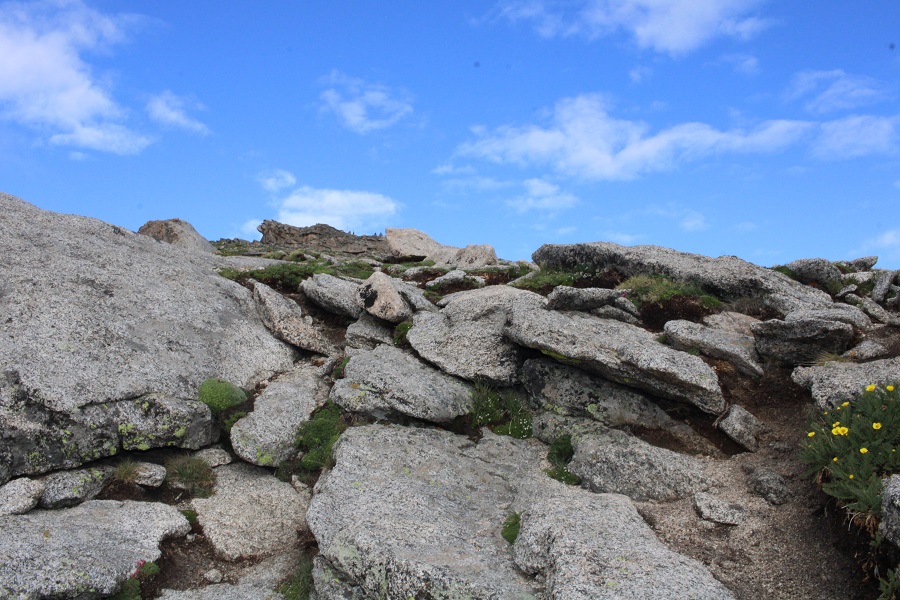
This rock is the summit block. I climbed it.  The summit area (besides the block) is flat
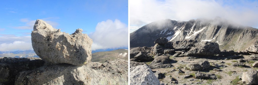
I summited Mt Spalding at 8am

Mt Spalding:

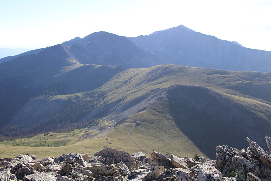
From Mt Spalding I could see my next objective to the southwest:  The Sawtooth
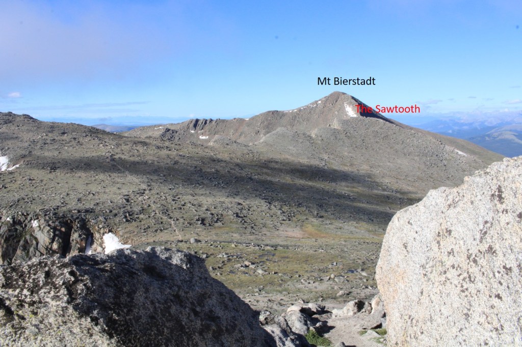
I continued following the class 1 trail south towards Mt Evans, but once I hit the ridge to The Sawtooth I left the trail and headed west. Here’s my overall route
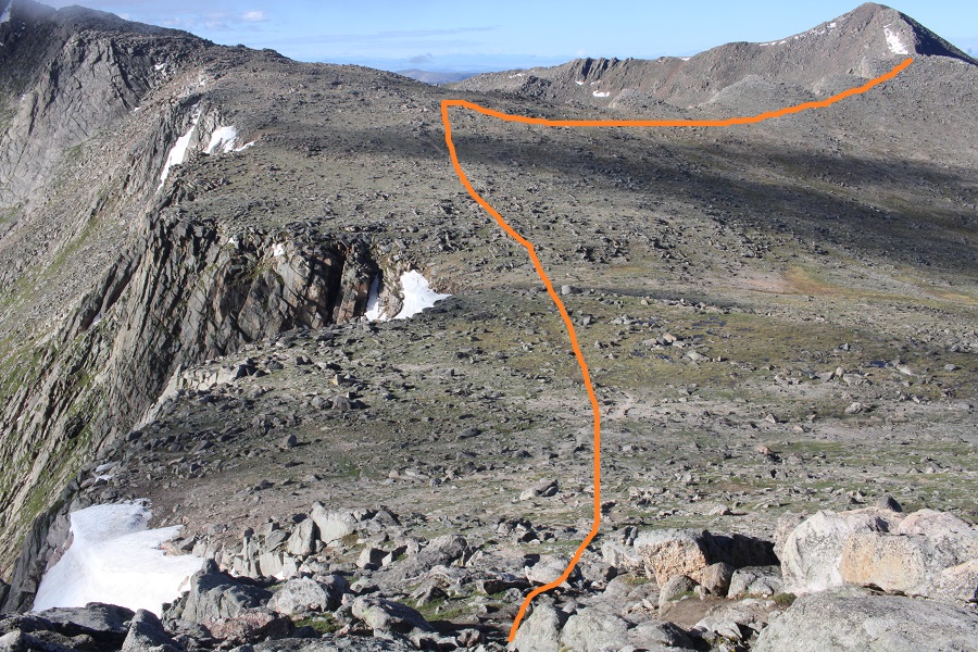
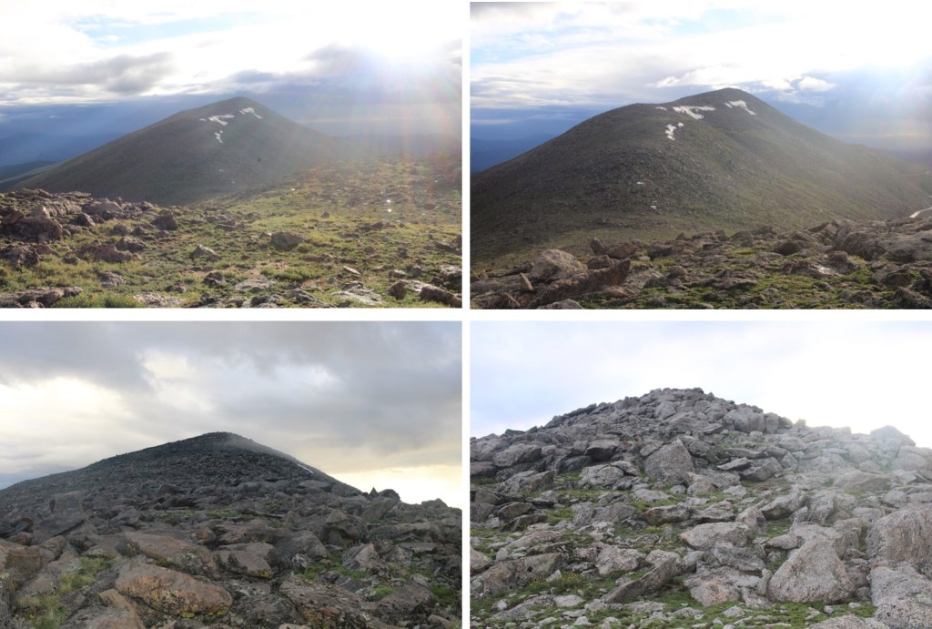
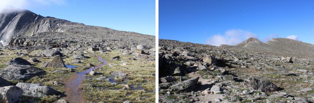
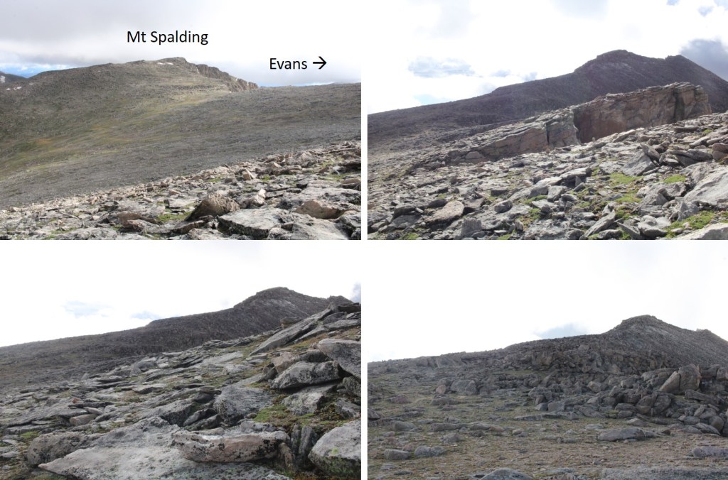
And some step-by-step pictures
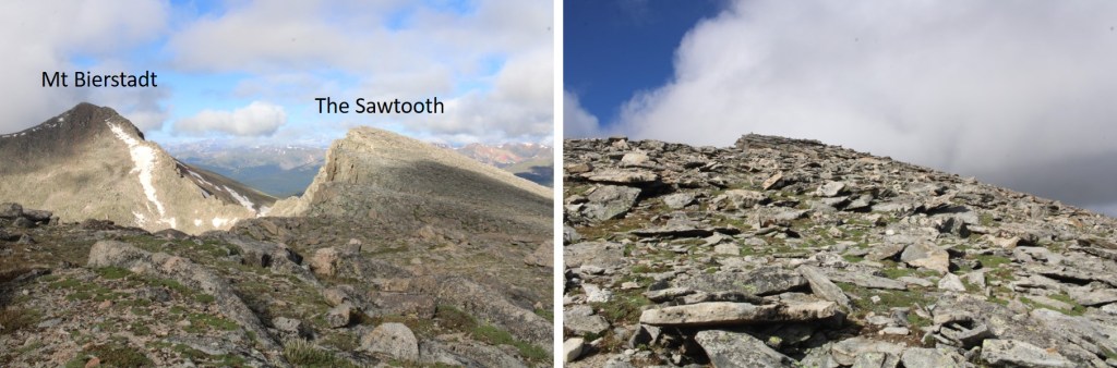
I summited The Sawtooth at 8:35am

The Sawtooth:

From The Sawtooth I could see Mt Evans to the east (actual summit hidden)
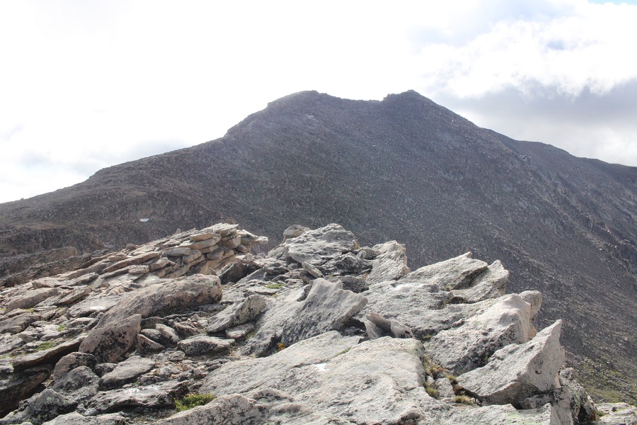
I made my way back to the Class 1 trail
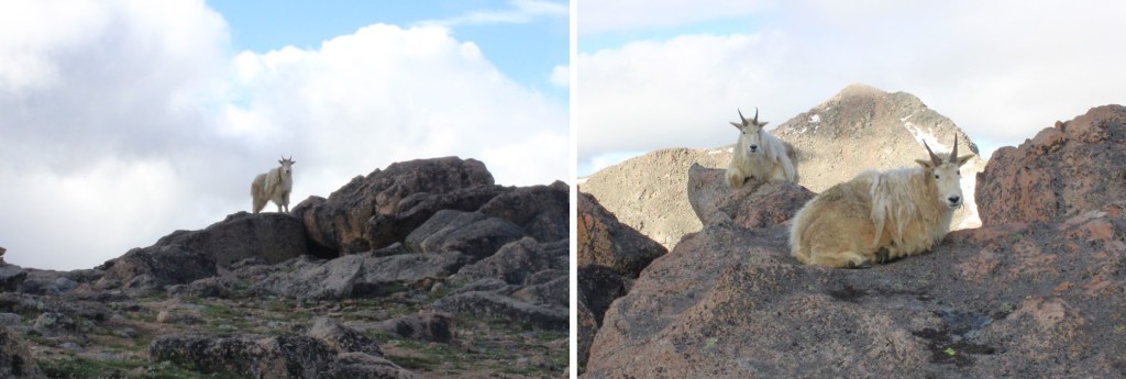
I was still off trail, but just before linking back up with the actual trail I came upon a couple of mountain goats.  They didn’t seem to mind my taking their picture.  I never would have seen them if I’d been 50 feet away, on the actual trail.
Now back on the trail, I followed it southeast
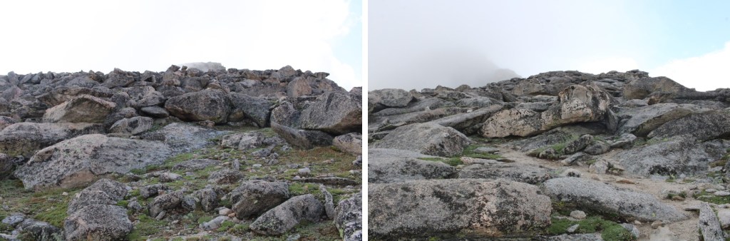
I came to a small saddle, and while there are cairns on the other side, the true trail descends the gully a few feet, and picks up below.  There are cairns to indicate this way as well

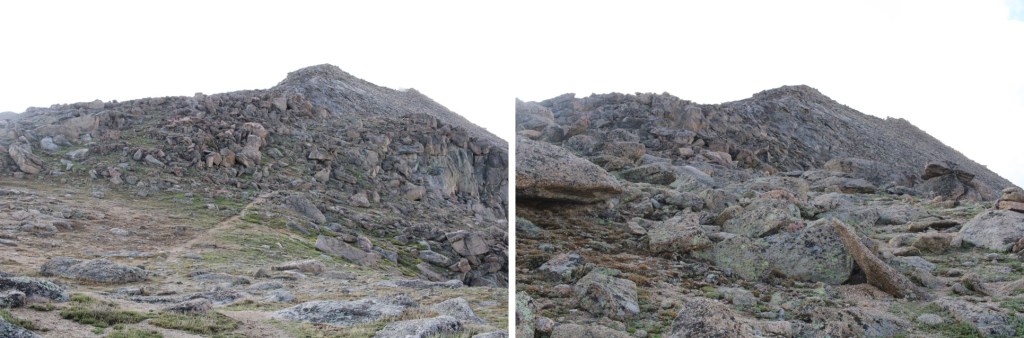
I followed the cairns southwest, until I made it to 14175’.  I then left the trail, put on my helmet, and aimed for the ridge, and West Evans above. This was all easy class 3
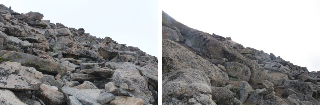
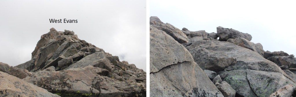
I summited West Evans at 9:25am

West Evans:

From West Evans I could see the summit of Mt Evans to the east.
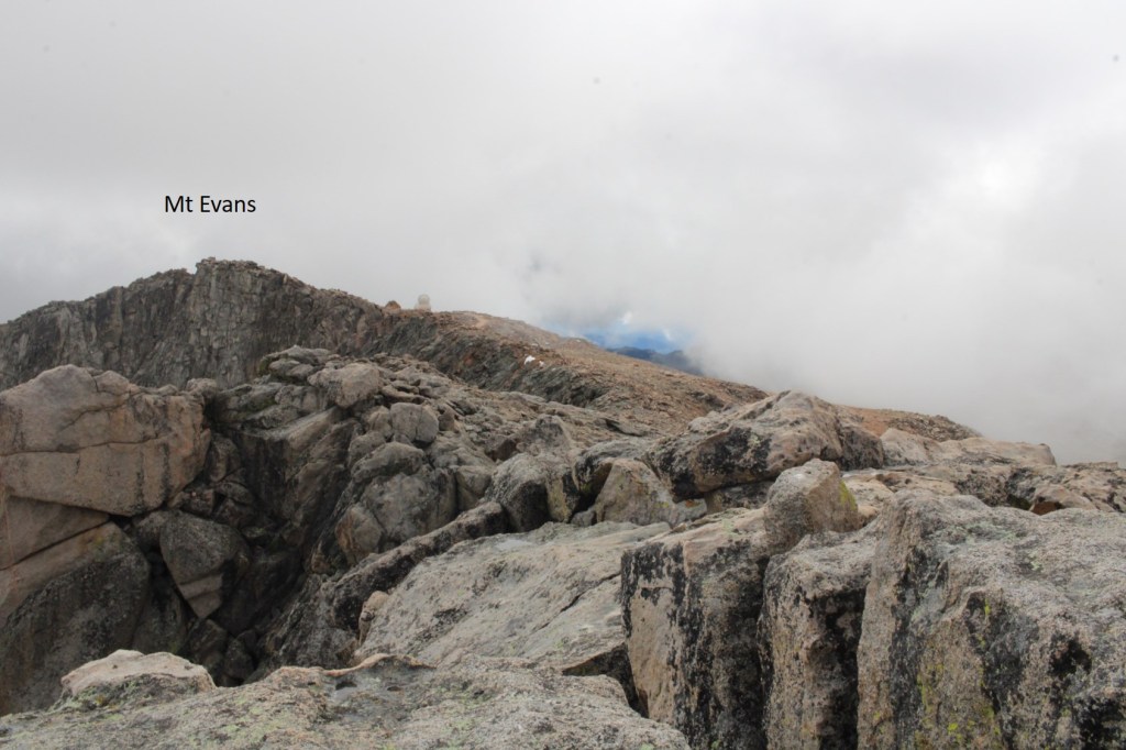
I descended back to the class 1 trail, and followed it east to the summit of Mt Evans

Just before the summit I followed the large switchbacks to the summit

This is the actual summit of Mt Evans. I still had on my helmet, so I scrambled up.
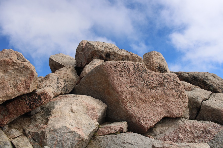
I summited Mt Evans at 9:40am
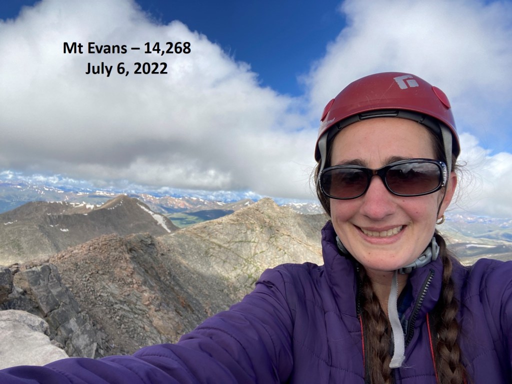
Mt Evans:

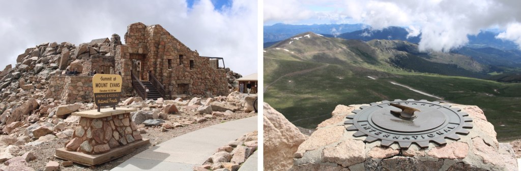
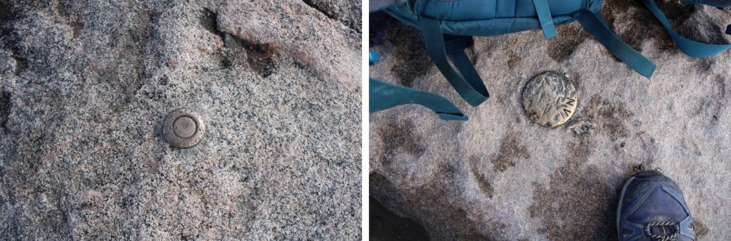
There were summit markers… not on the summit
And tons of tourists.  Time to head down.  I made my way back down the switchbacks, and headed east to the summit house
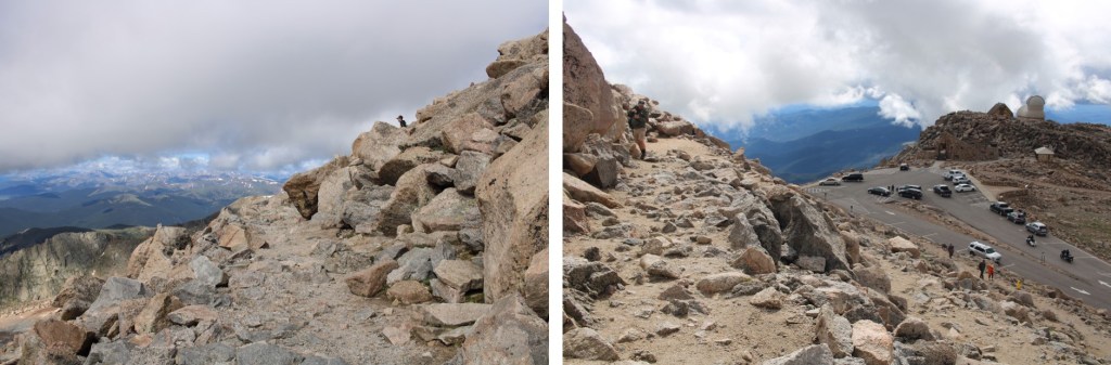
Once at the summit house I continued northeast, back down to the road below. At times there was a well-defined trail here
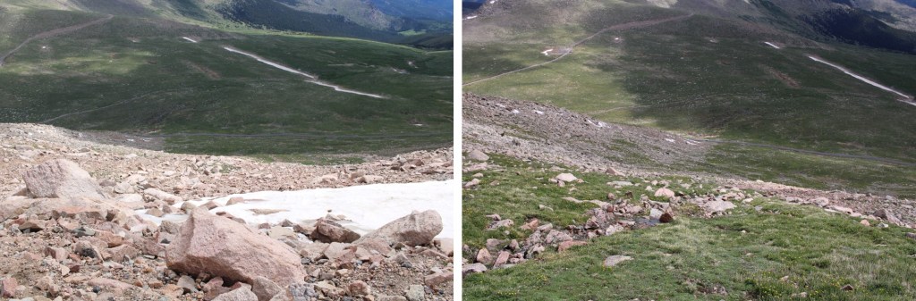
Back on the road, I followed it north to Summit Lake, and my truck
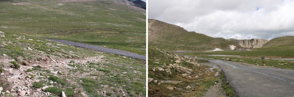
I made it back to my truck at 10:30am, making this a 10.28 mile hike with 3263’ of elevation gain I 5 hours, 45 minutes.
On to the next trailhead!
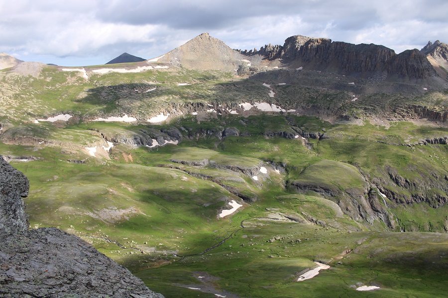
Bridal Peak – 13,514 and PT 13159

RT Length:  11.85 miles

Elevation Gain 4033’

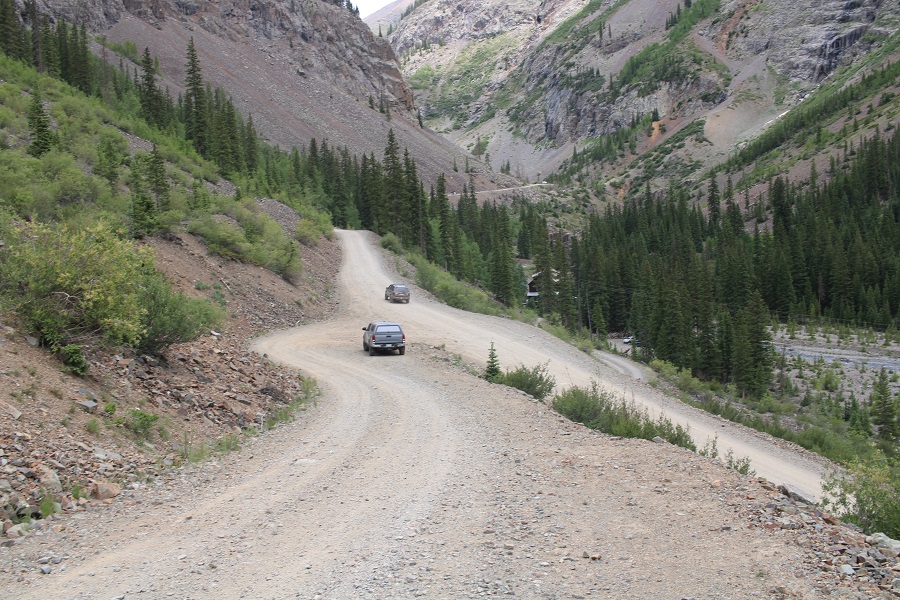
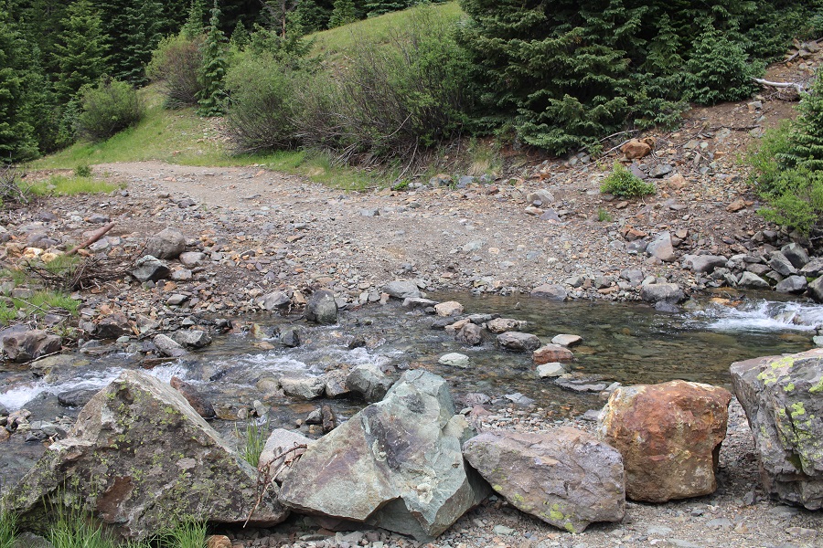
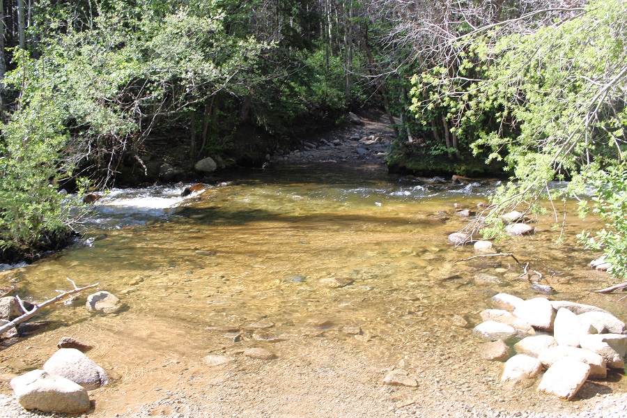
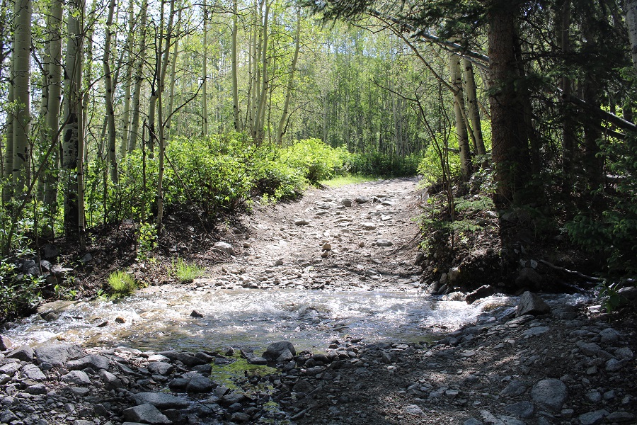
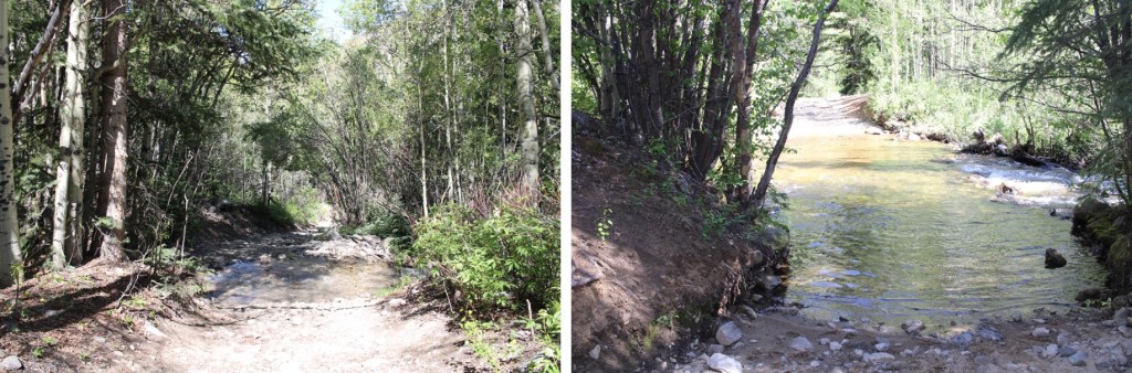
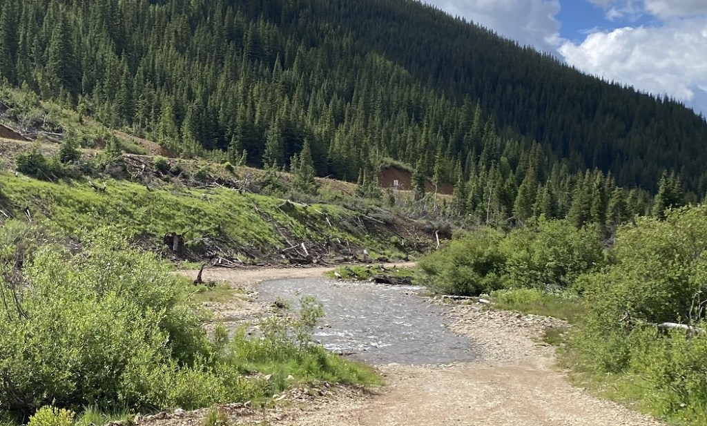
Driving to the trailhead had me crossing Mineral Creek.  The water was low, and it was easily crossable, although I saw several capable vehicles turn back. 

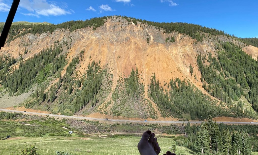
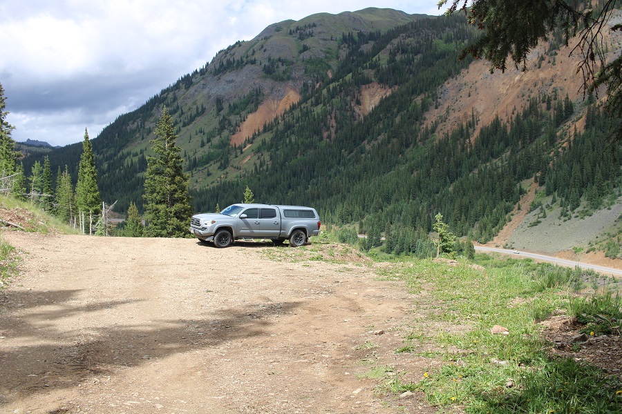
I parked the night before near Imogene Mine, a great view of the Million Dollar Highway below.  I was worried I’d hear traffic all night long, but very few vehicles went by. 

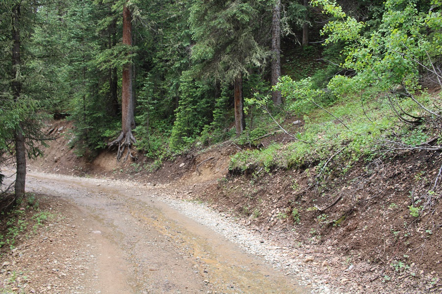
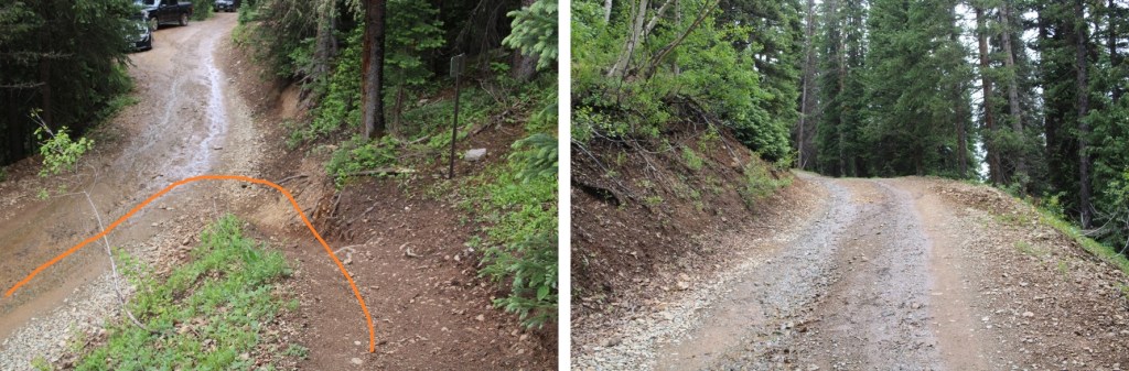
When I woke up, there were several other vehicles parked near me, so I did my best to be quiet as I got my gear together.  I was on the trail at 4am.  I followed the 4WD road south for a quarter of a mile to the actual trailhead.

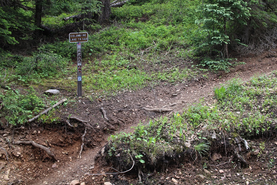
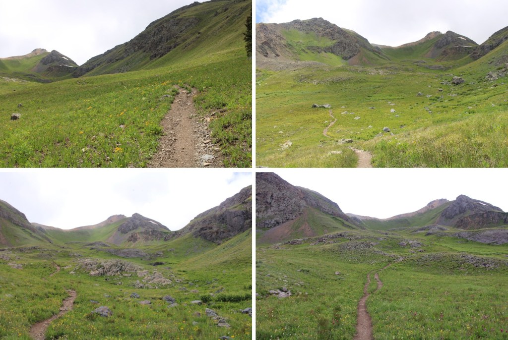
I headed up Columbine Lake Trail 509.  This is a class 1 trail that goes all the way to Columbine Lake.  There are several ways to get to the summit of Bridal Peak, but if you don’t want to lose excessive elevation, heading to the lake first is a great option.

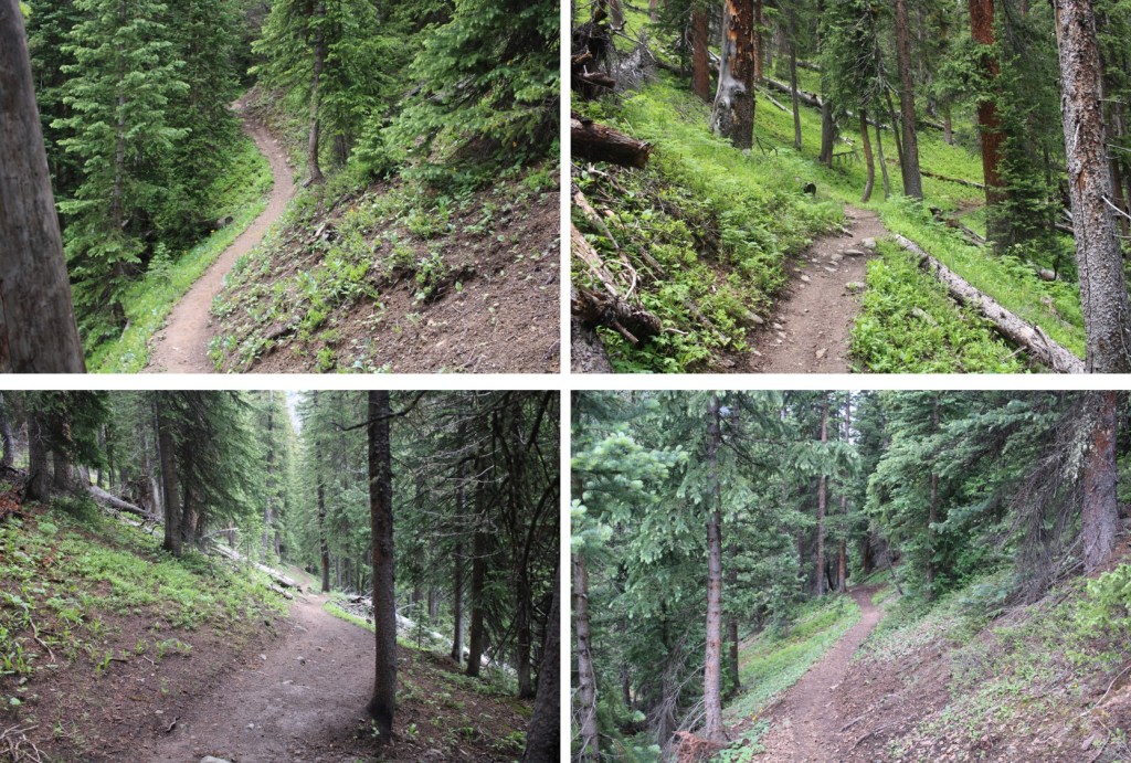
This trail steeply switchbacked up the hillside to treeline.

I entered a small basin, and continued following the trail to the upper basin.  I could hear dozens of ptarmigans and their chicks chirping all around me.  That’s one of my favorite parts about hiking this early in the morning:  hearing everyone waking up. 

I crossed over into the Mill Creek Basin, and continued following the trail west. This is still a class 1 trail. 

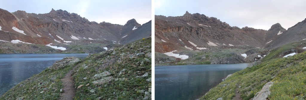
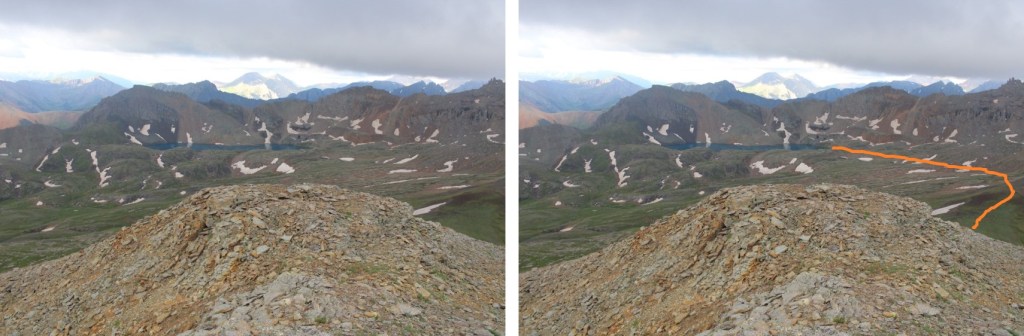
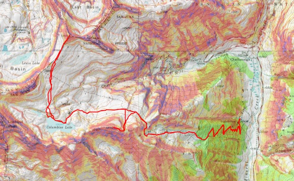
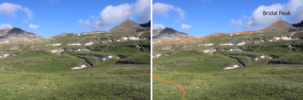
From here you can see Bridal Peak, but to avoid losing and re-gaining elevation, I headed to Columbine Lake first.  Here’s my overall route.

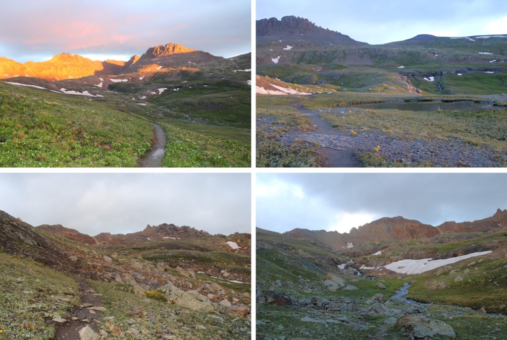
Right about now the sun was beginning to rise…

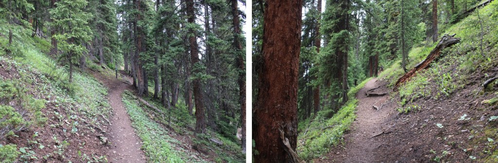
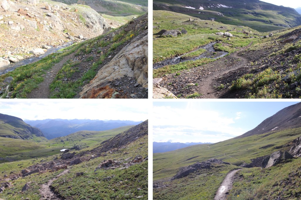
Here are a few more pictures on the class 1 trail to Columbine Lake

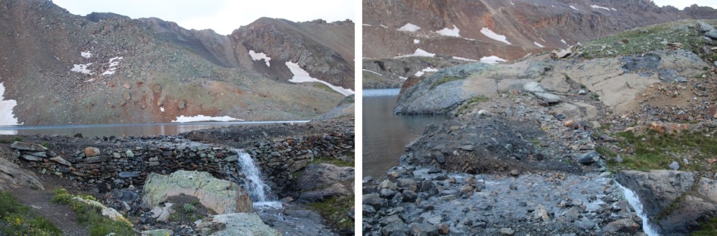
I made it to the lake, crossed the small dam, and followed the shoreline west

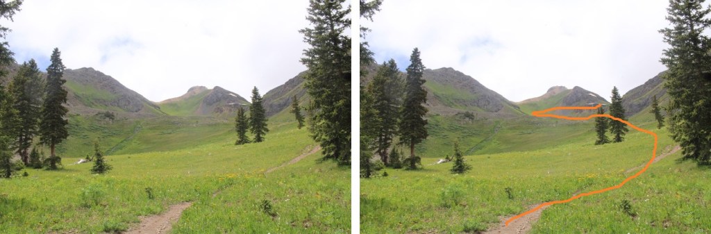
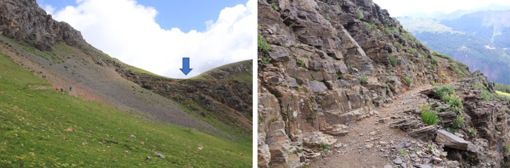
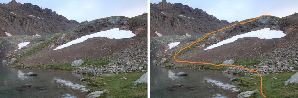
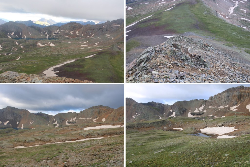
I wanted to ascend to the ridge.  It can be done at just about any point before the small waterfall.  I took a slightly different route up than I did down, but they all lead to the correct area.  This is the route I took

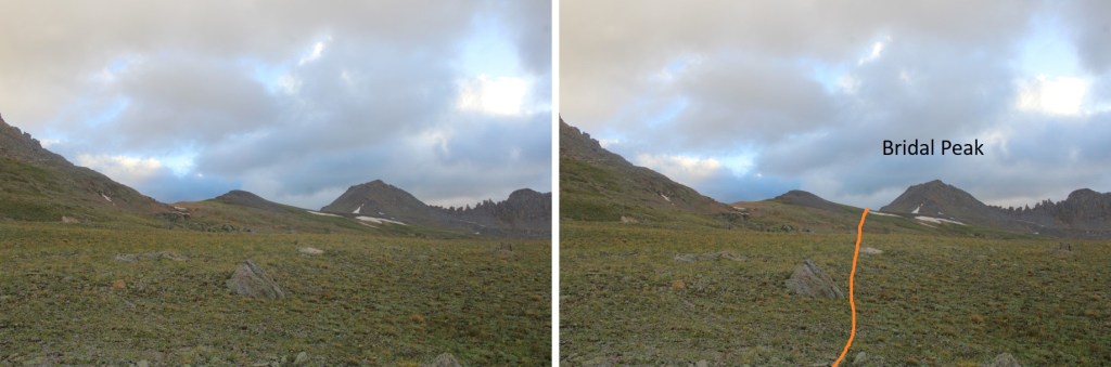
Now to cross the upper basin and head north to the ridge.  Here’s my overall route

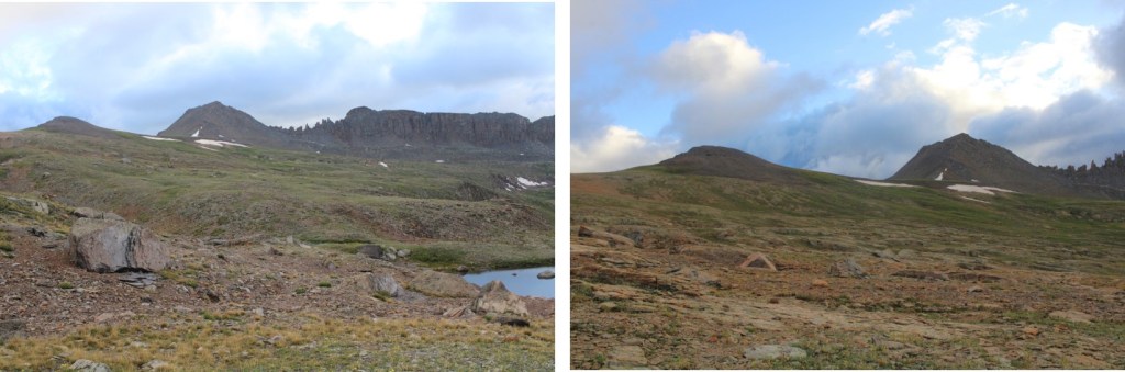
And some step by step pictures

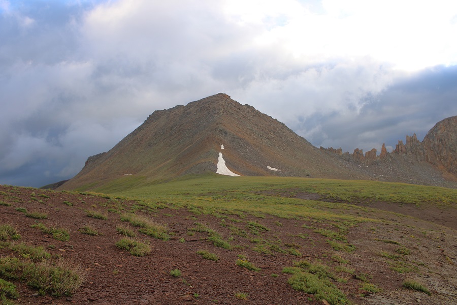
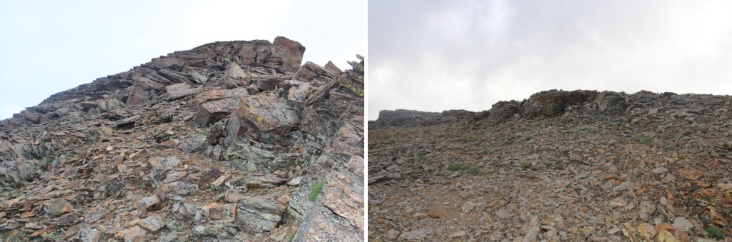
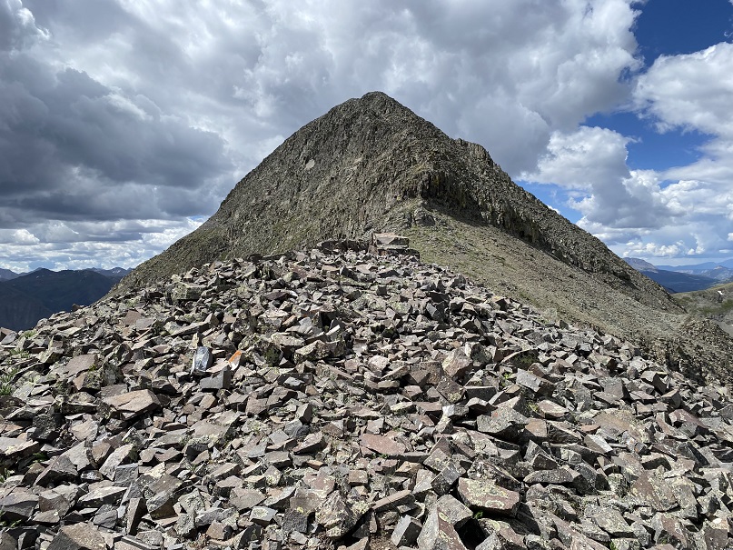
Once on the ridge, it was an easy class 2 trek to the summit.  There’s an obvious trail, but if you don’t see one, stick to the ridge.  This area is covered I shale.

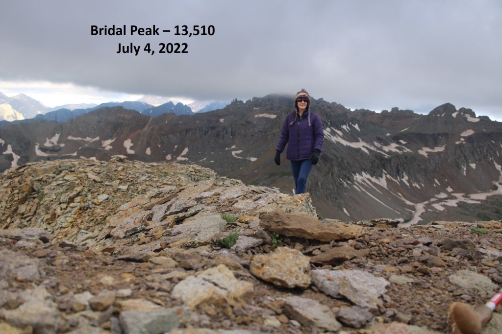
I summited Bridal Peak at 7:10am

Bridal Peak:

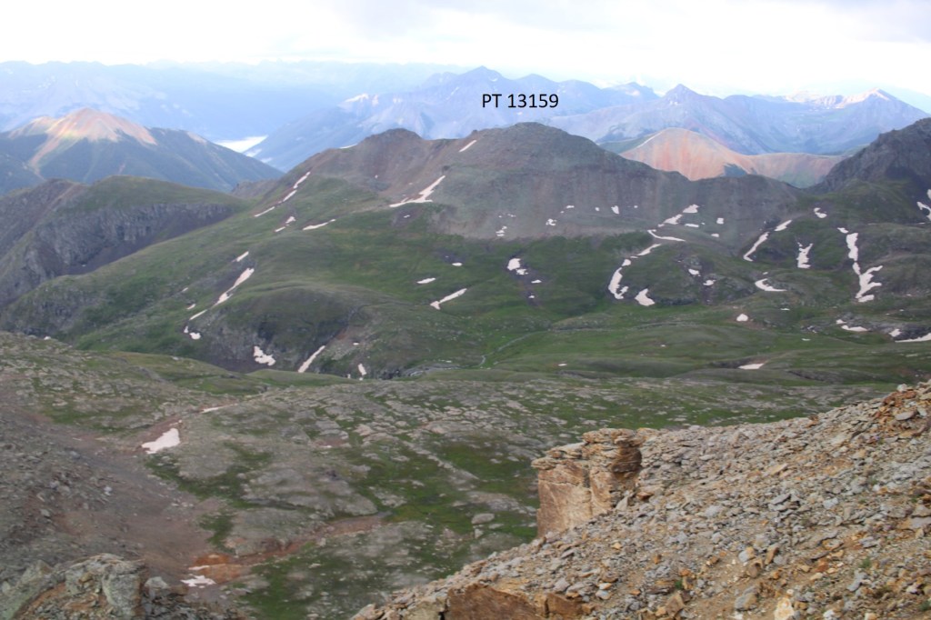
From Bridal Peak I could see PT 13159 to the southeast.

To get there, I made my way back to Columbine Lake

Here are some pictures of the route back to the lake

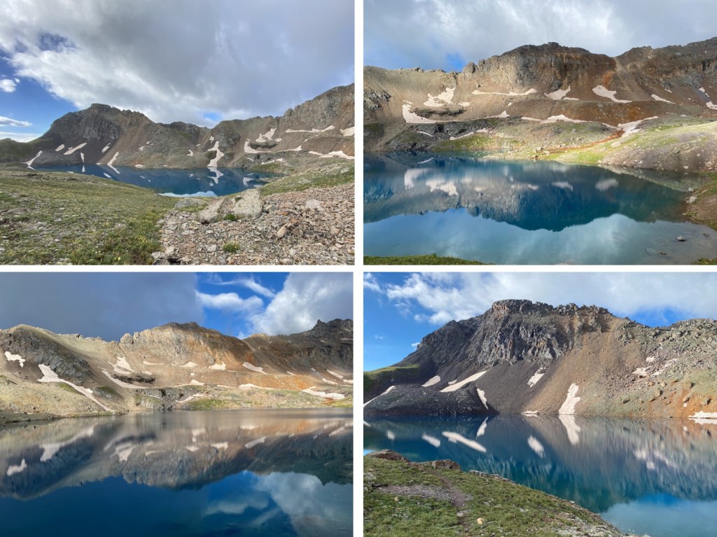
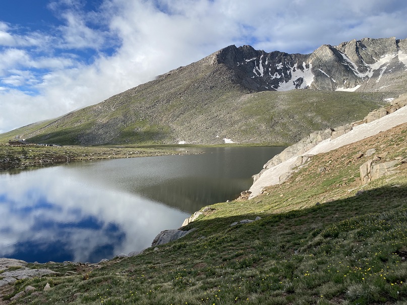
Once at the lake the sun started to come out, so I took a few pictures.  This is an extremely popular hike, and I started seeing people like ants along the trail.  The lake was beautiful.  Pro-tip:  You get better pictures of the lake, and the mountains mirrored in the lake, from up high. 

I made my way back to the trail

And then followed it east to 12550’

At about 12550’ there will be a post.  At this post, I turned right, and headed south up a gully

Before going up the gully, get a good look at the route before you.  This can be kept class 2 (maybe easy class 3) if you know what you’re doing ahead of time.  I made this class 4 in sections, not knowing where exactly to ascend at the end.  I kept wanting to ascend too early, and then I’d cliff out.  This is the route you want to take

It might have been due to the recent rain, but this gully was easy to ascend. 

At the top of the gully I turned right, and followed the ridge

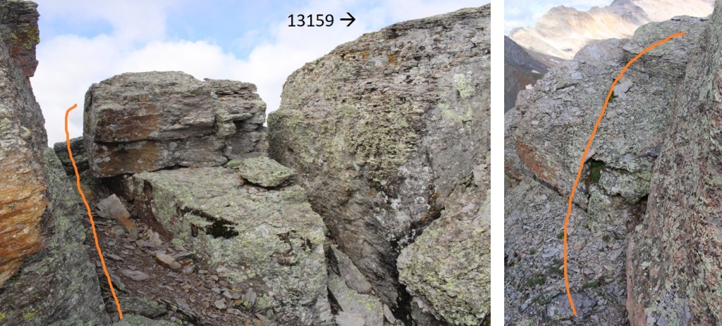
Once I got here, I dipped down a bit.  No longer try to stick to the ridge, as there are large gaps in the boulders too big to jump across.  Also, don’t try to ascend yet:  it’ll be class 4, and the final ‘summit’ is also too far to jump to get to. 

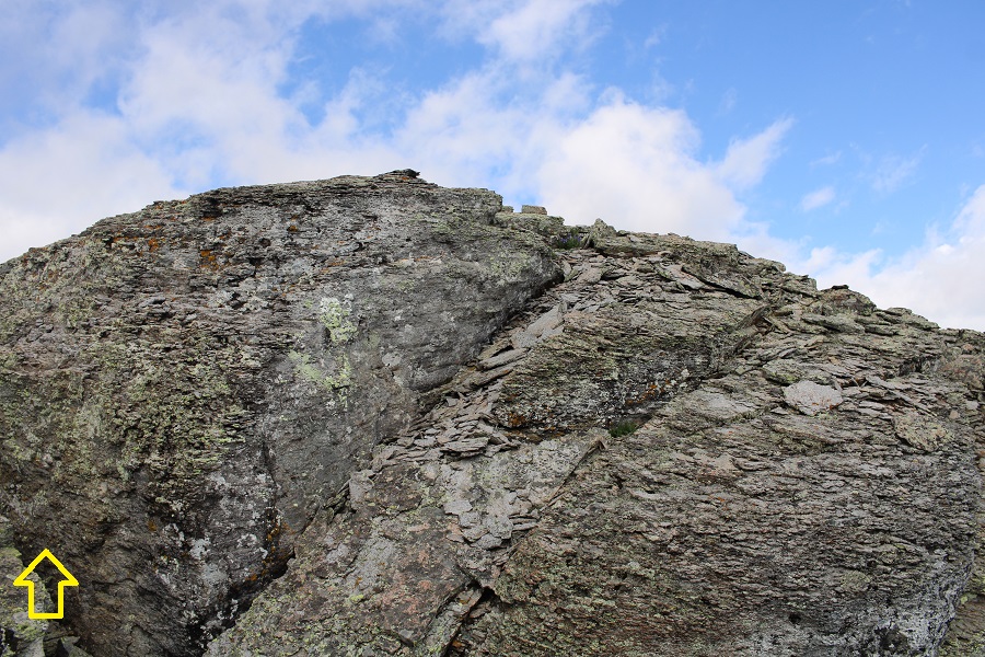
This is what the summit looks like, but it’s actually easy to access, if you go from the left

Go around the boulder, then it’s a simple walk to the summit

I summited PT 13159 at 8:55am

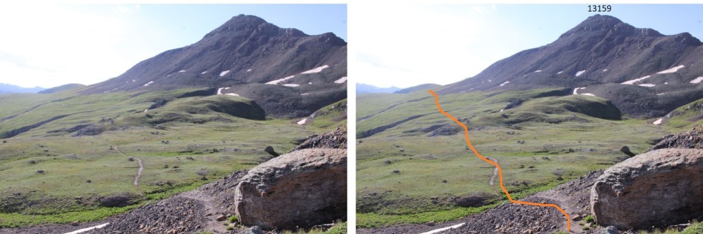
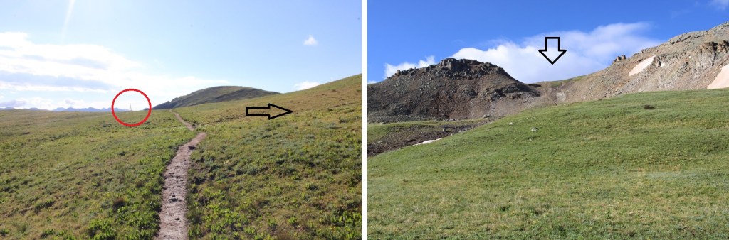
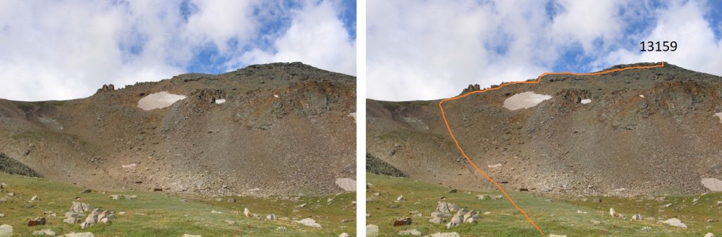
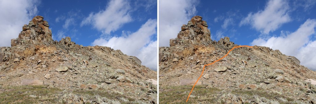
PT 13159:

From the summit, I re-traced my steps back to the gully. 

Then descended the gully, and picked back up with the Columbine Lake Trail

I took the Columbine Lake trail back to the road

Then followed the road back to my truck

I made it back to my truck at 10am, making this an 11.85 mile hike with 4033’ of elevation gain in 6 hours.

On to the next trailhead!

Tower Mountain – 13,549 and Dome Mountain – 13,370

RT Length: 14.13 miles

Elevation Gain: 4500’

I parked at 10,000’, just after the town of Eureka.  My truck could have driven up the 4WD road, as it was a nicely graded, wide road, but I didn’t know it at the time and figures starting at 10,000’ sounded pretty good. 

We were once again experiencing summer storms, so I was up and on the trail at 4am.  I followed the road as it rounded the mountainside, heading west.

Suddenly, I saw a fox, about 10 feet in front of me on the trail. I shined my flashlight at him, and said “Hey Fox!”  The fox walked up to me, and stood about 2 feet away.  He was brown with black feet, and had a piece of grass sticking out from its lips. He looked up at me like a puppy asking for a treat.  I wanted nothing more than to pet this cute little guy, but knew his behavior was off for a wild animal.  I loudly tapped my trekking pole on a rock and told him to move.  He jumped a few feet in the air, then skirted around me. He didn’t leave though, until I did it again. 

I continued on in the dark, making great time, until the sun began to rise.  That’s when I noticed I was heading the wrong way and realized I’d missed my turn in the dark. I’d gone a mile past my turn, and added 600’ of elevation gain to my day (already taken off my stats).  Drat!  I turned and ran a mile down the road, to the correct turnoff at 10,500’

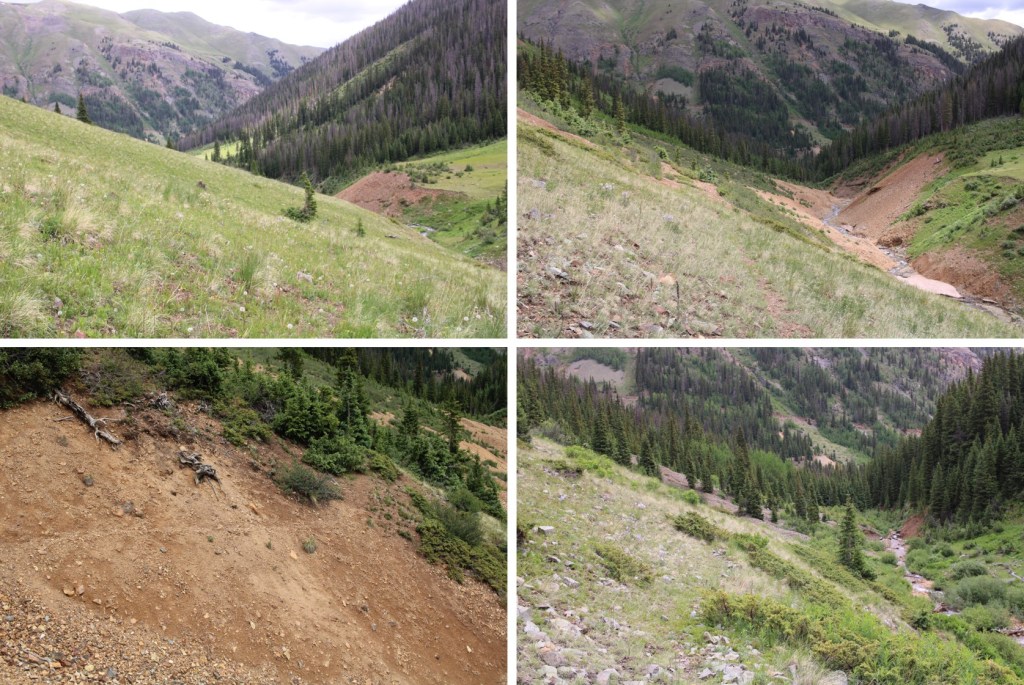
I then followed this road, which paralleled the South Fork Animas River

There were a few dispersed campsites along the way. The road ended at a creek crossing.  Well, it didn’t end, but you couldn’t drive any further.

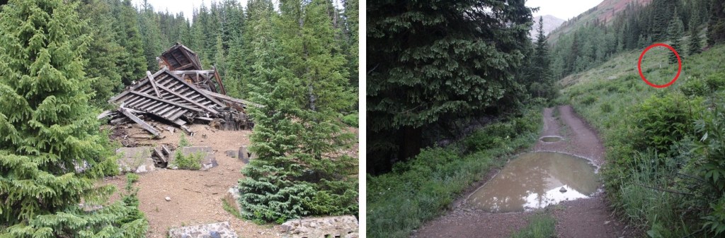
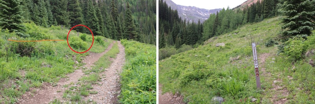
I crossed the creek, passed an abandoned mine, and the road curved.  This is where the trail began. It’s an unnamed pack trail, and very difficult to follow.  Don’t cross the creek.

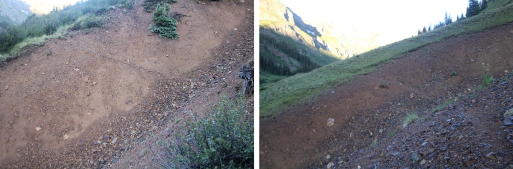
I passed several large runnels

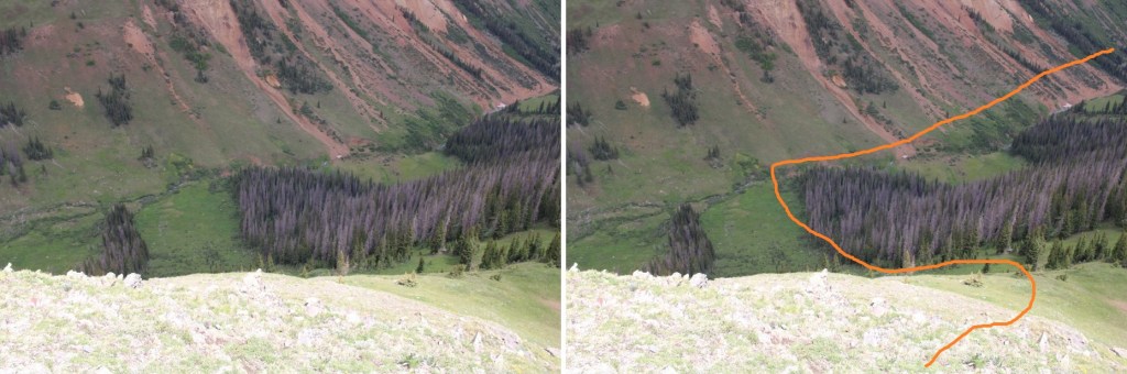
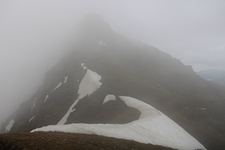
And noted now that I had a visual my intended decent route was going to need to be modified, as it cliffed out.  I resolved to instead take a different ridge down, which looked like it ‘went’ and continued southwest to treeline. Once again, there wasn’t a consistent trail here, but I did come across game trails I utilized when available.

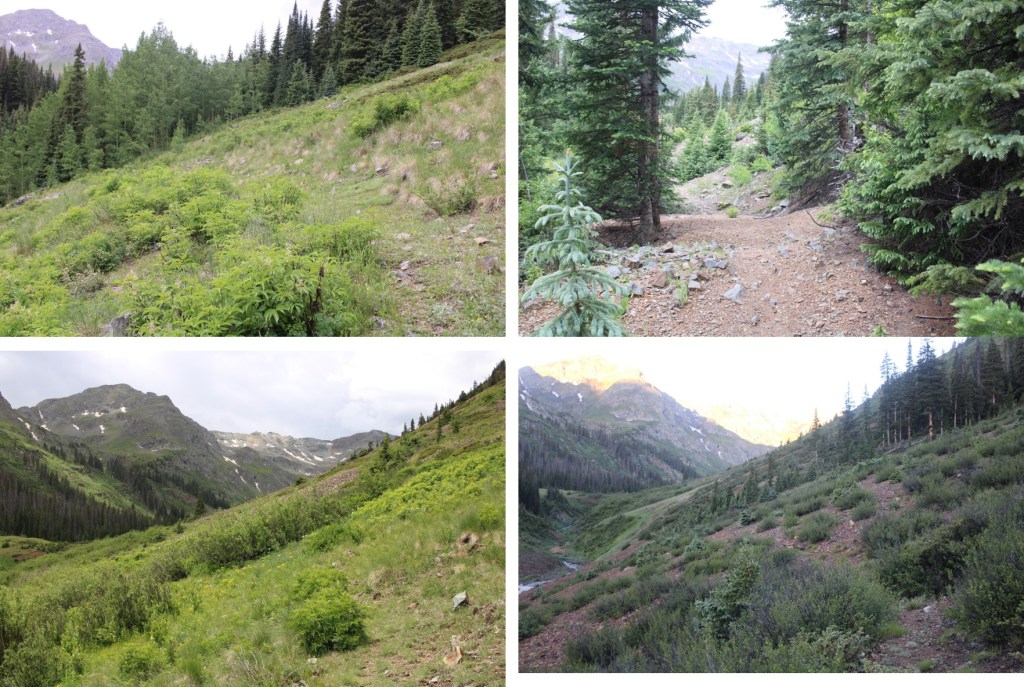
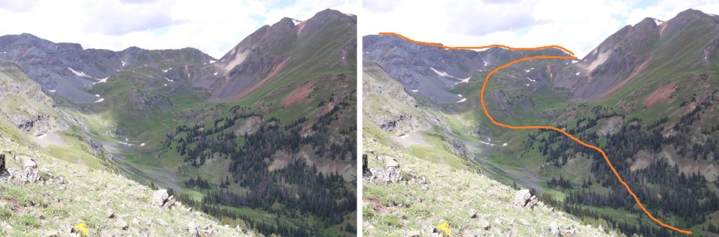
Now at treeline, I needed to access the upper basin.  This is how I got there.  There were TONS of game trails in the area.

I was headed northwest, aiming for a saddle

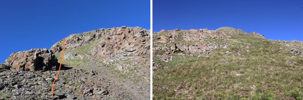
Once at the saddle, I turned left to ascend the ridge and follow it south.  Initially I hit a scree-filled gully, but it was short.

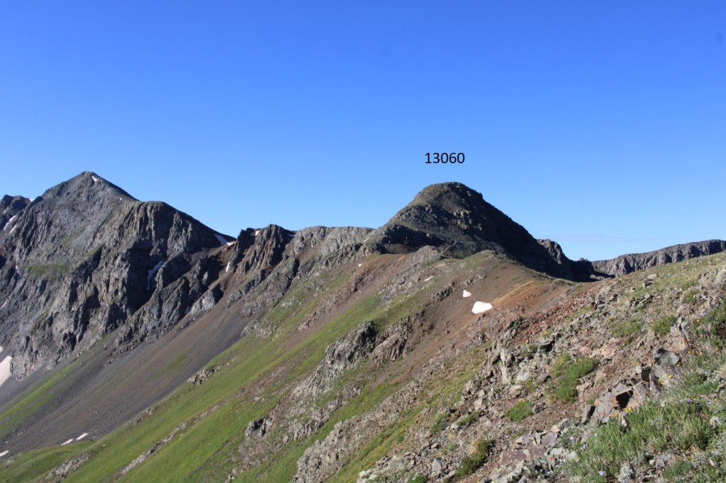
I then hit some rocky tundra area, but once I ascended this I hit a class 1 trail.   This trail took me up and over PT 13060, then it went downhill while I followed the tundra towards Tower Mountain.

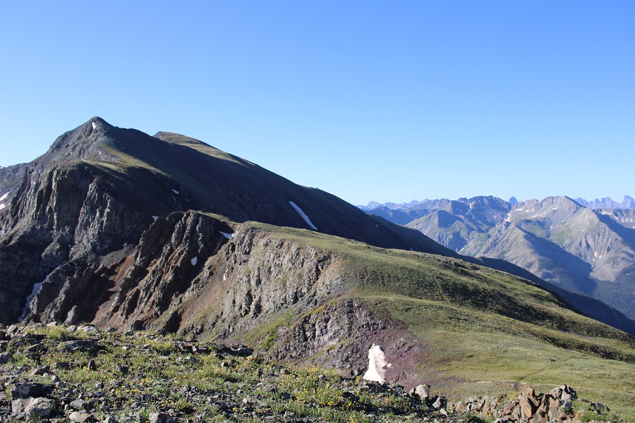
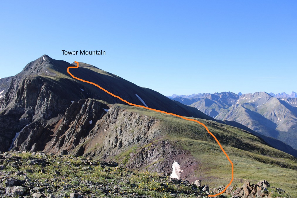
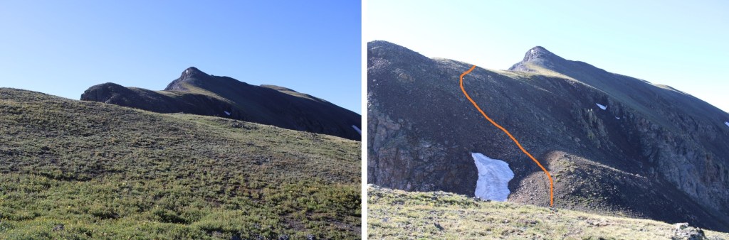
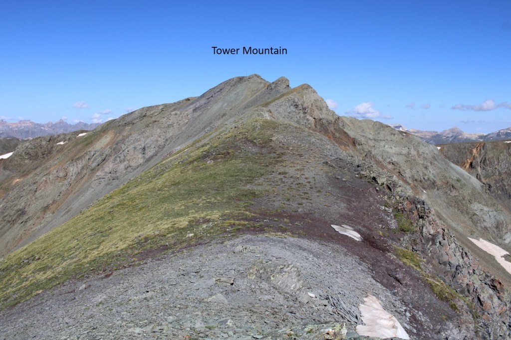
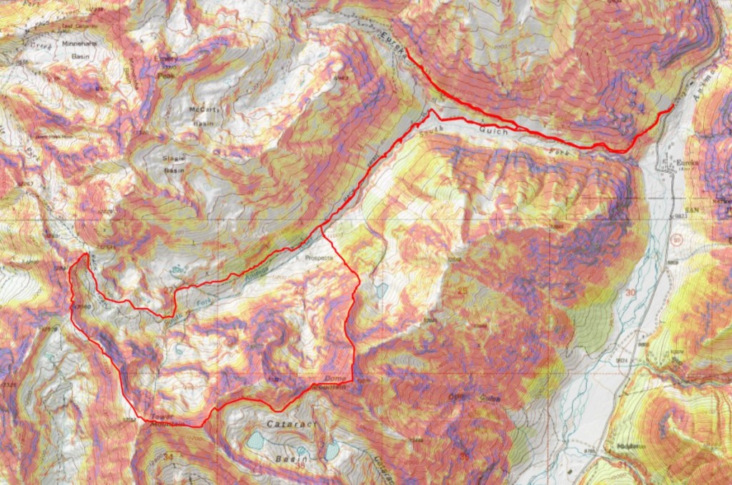
Here’s my route up Tower Mountain (which has a tower…)

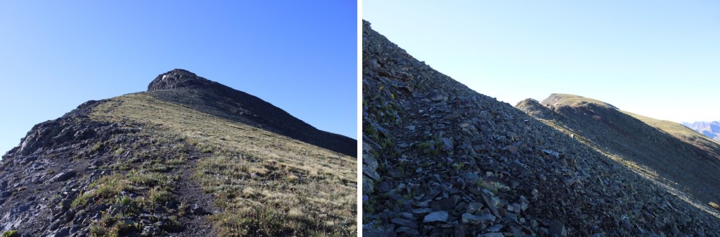
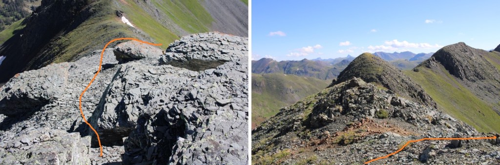
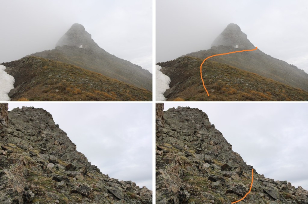
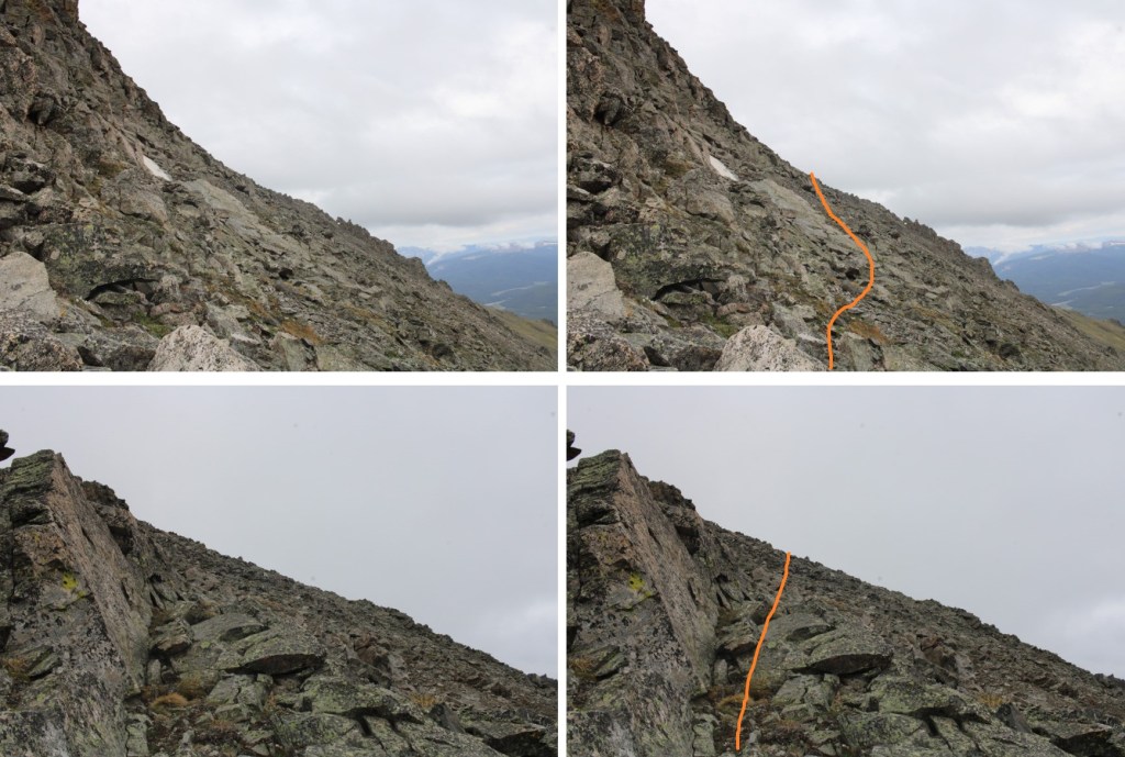
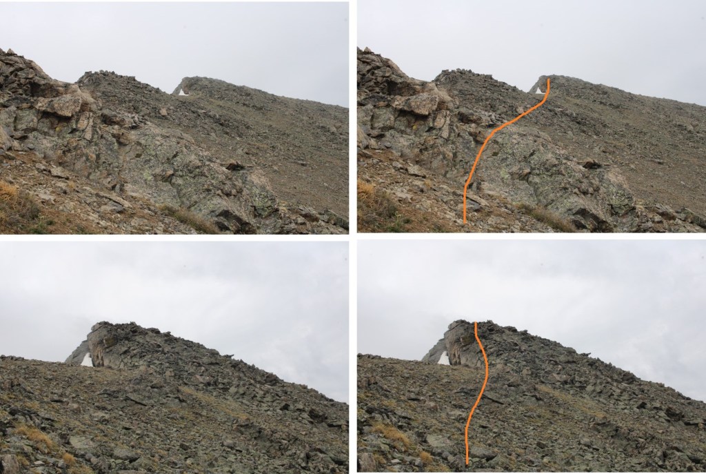
And a few step by step pictures (this is all class 2)

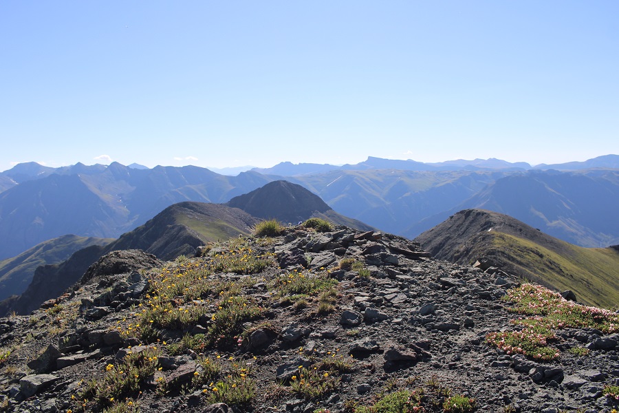
I summited Tower Mountain at 8:50am

Tower Mountain:

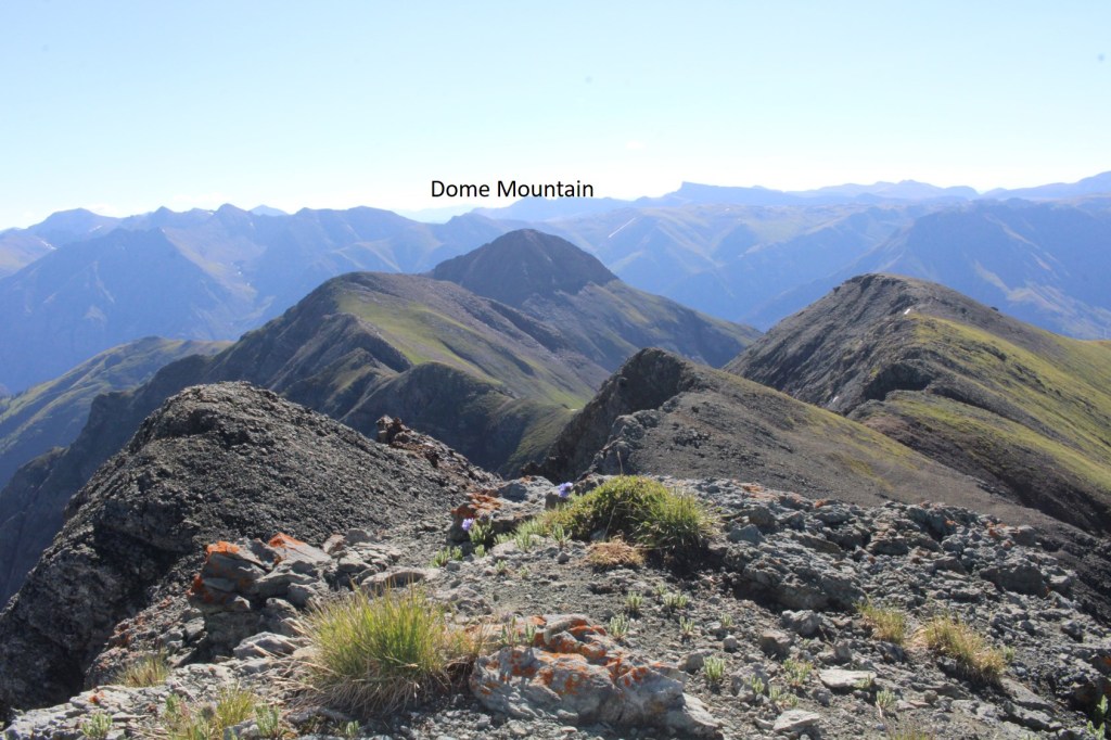
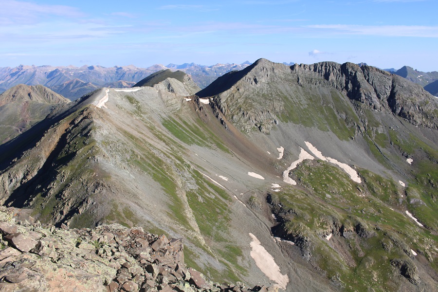
From Tower you can see Dome Mountain to the east, but it’s not a simple ridge walk to get there.

I followed the ridge to the arrow, and then I descended (arrow) to avoid some nasty terrain just before making it to Dome along the ridge.

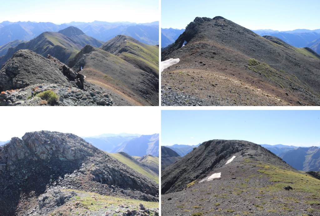
Here are some pictures of the ridge

Looking back at Tower

This is where the ‘fun’ begins, and doesn’t end until you’re back on the trail you hiked in on…  I left the ridge here, at 13100’, and descended into Cataract Basin, making sure to stay high.  No trails here, unless you stumble upon a game trail.

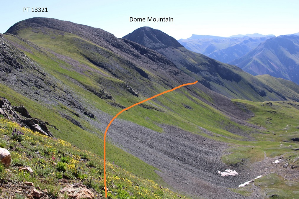
I then ascended the saddle between PT 13321 and Dome Mountain.  There was a lot of scree here.

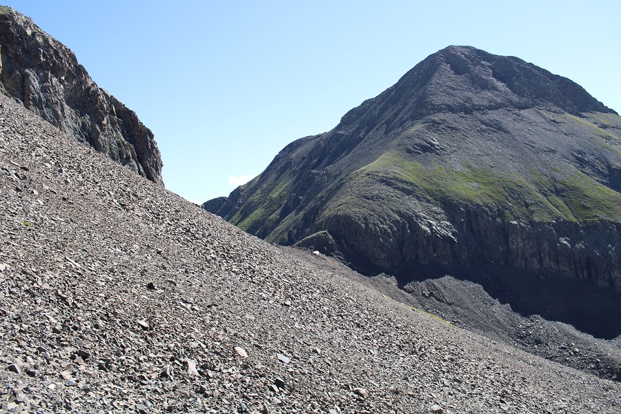
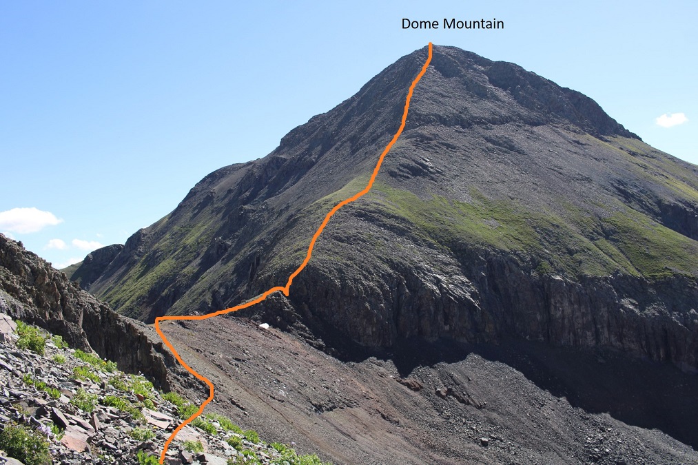
This is my general ascent route up Dome Mountain.  I just went straight up the face, heading east.    Now is a good time to look at your route.

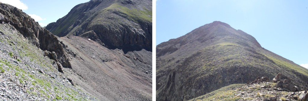
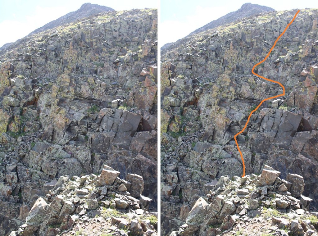
Here are some step by step pictures.  Now is a good time to put on your helmet if you haven’t already

This is difficult class 3, easy class 4, and most of it is pick your own route.  There were plenty of hand and footholds, but there was a lot of balancing involved, and not a lot of room.  Very little margin for error. This is the route I took

That was your warm up.  Now to ascend the larger wall.  Same rules apply, but with an added degree of difficulty

Woot!  Now some tundra to the difficult part

The last 300 feet of climbing is done on very loose rock.  Trust nothing.  It’s all class 3, but the terrain is rotten.  Here are some photos.  I continued east, and headed straight along the ridge to the summit.

I summited Dome Mountain at 10:45am

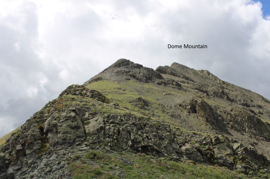
Dome Mountain:

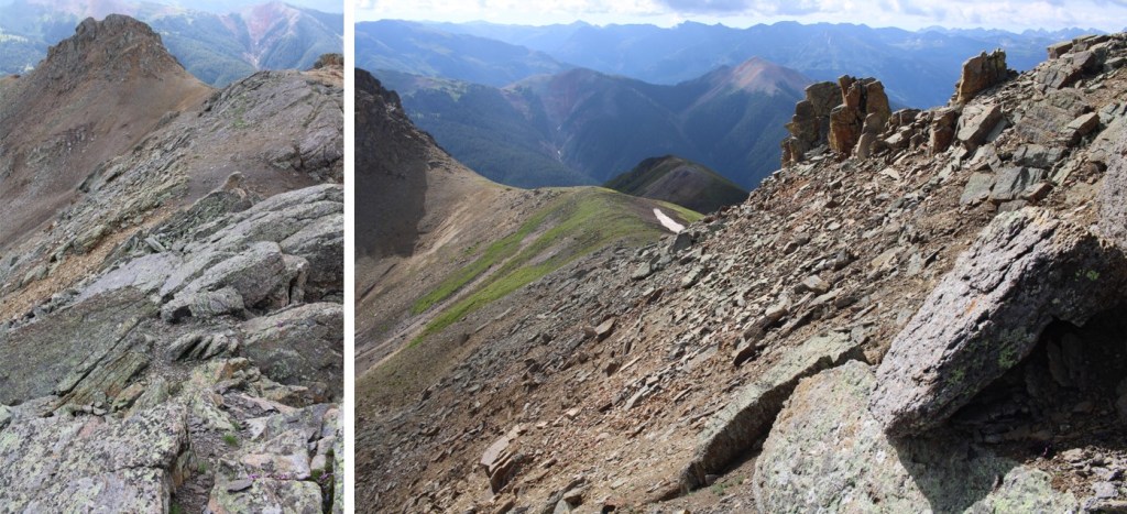
There were a ton of bees and flies at the summit, so I didn’t stay long. I was making this a loop, and wanted to head north into the basin I’d hiked in, towards the South Fork Animas River.  I wasn’t 100% sure this would work, but as I looked this morning from below I knew if I could get down the rocky area I’d be good to go.  I headed south and followed the ridge.  This was also class 3-easy 4, but much more stable and easier to navigate than the ridge I’d taken up.  There are rocky chimneys to descend, but mostly tundra.  If I were just doing Dome, this is the route I’d take up and down.

Here’s looking back on the ridge.  It’s a lot longer than it looks

This is also a good view of my ascent route from this morning

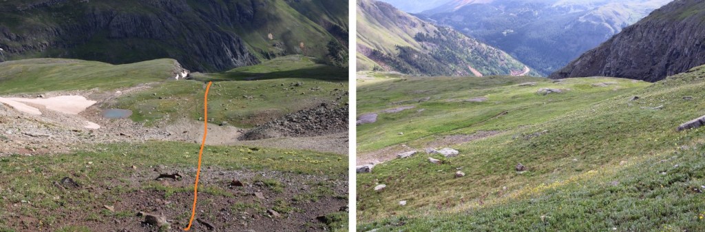
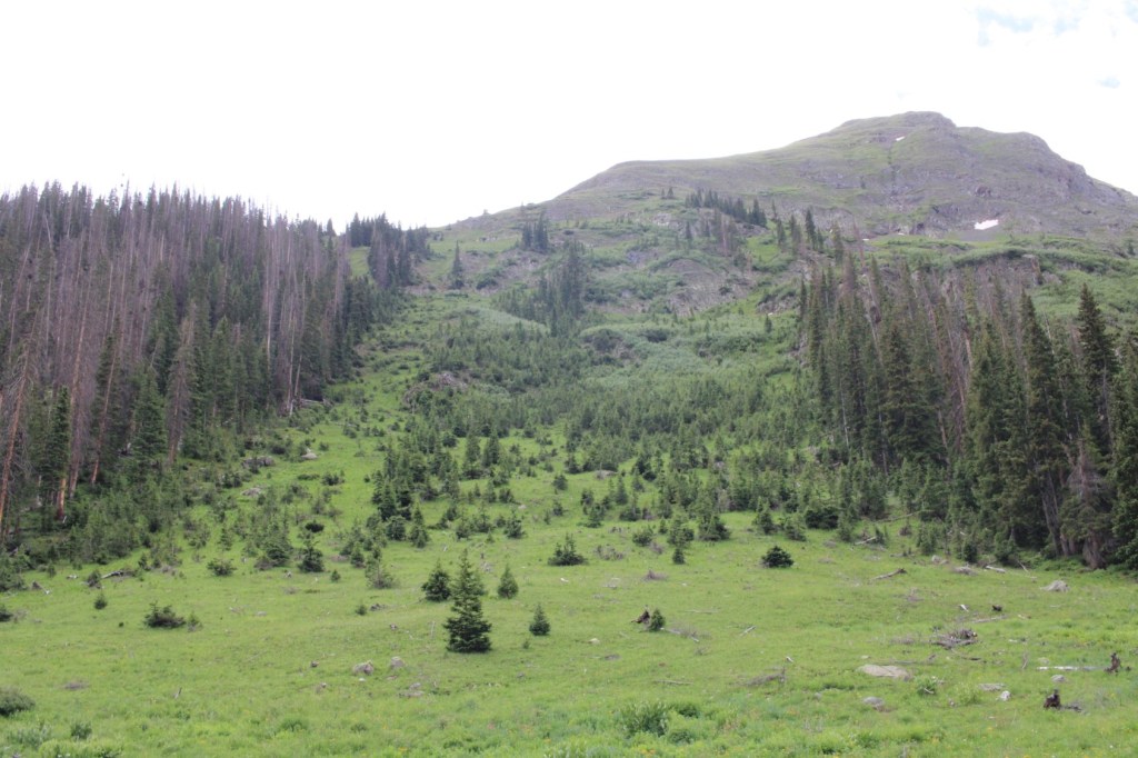
Now all I had to do was head down an avalanche runout, back to the trail.

Here’s looking back up that avalanche route

Now back on the trail, I followed it to the 4WD road

And followed the road back to my truck

I made it back to my truck at 1pm, making this a 14.13 mile hike with 4500’ of elevation gain in 9 hours. 

As I was putting my things away, I saw the same fox I’d seen that morning, this time sitting on the side of the road, overlooking Eureka below.

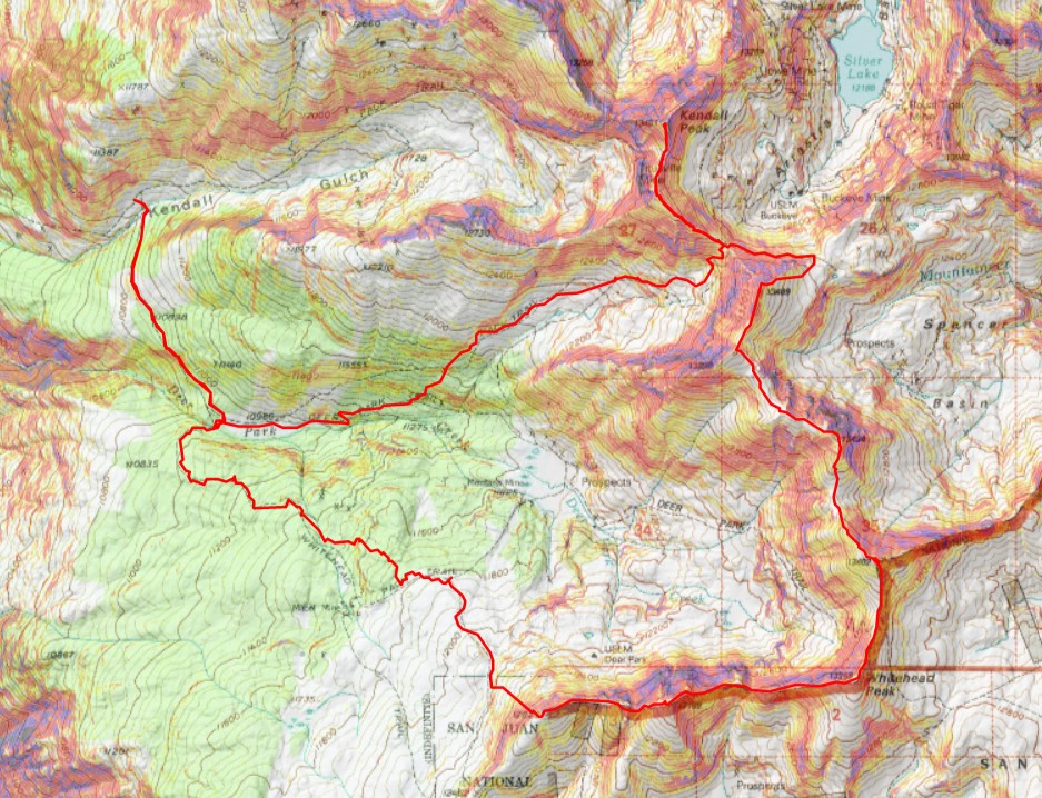
Kendall Peak – 13,451 – “Spencer Peak” – 13,420 – Mountaineer Peak – 13,441 – Mt Rhoda – Whitehead Peak – PT 13109, PT 12829

RT Length: 12.88 miles

Elevation Gain: 4571’

I parked at 10870’, just after the junction for Kendall Gulch and Deer Park.  My truck could have easily made it to Deer Park, but as some of you know, I don’t like passing other vehicles on narrow dirt roads.  I’d rather walk the extra miles.  It was still raining when I made it to my parking spot, and I was soaking wet from the hike earlier, so I changed my clothes and made it an early night.

It was supposed to rain starting at noon (it did) so I wanted to make it an early day. This was going to be a long ridge hike, and I wanted to be off the ridge by noon.

I was on the trail at 4:30am, following the road south for a mile to Deer Park

There was a great place to camp for the night, and this was also where my hike (which I’d made into a loop) would end.

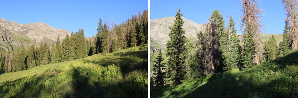
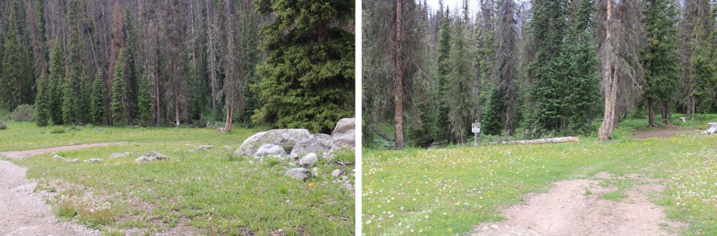
I continued following the road.  I was supposed to follow the road until 10930’, where I was supposed to meet another road and follow that, but I never came across the road.  Later on in the day, I was able to see the road from another mountain, but it was one of those roads that hasn’t been used in several decades (if not longer) and is completely overgrown.  In the daylight I was able to make out bits and pieces of it, but at night, it was completely invisible. No worries though!  I found a simple solution.  At 11,300’ I left the road and headed northeast, aiming for the ridge I could see and treeline.

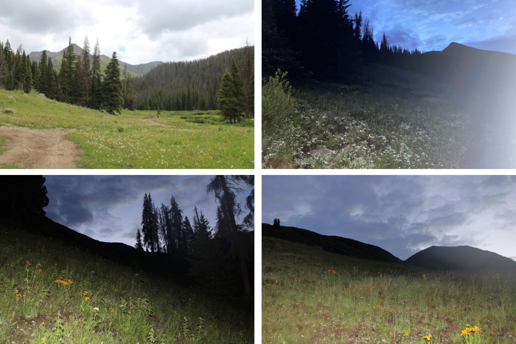
Now in the basin, I could see a faint trail.  I followed that trail to the saddle

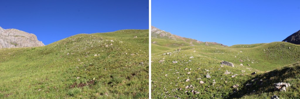
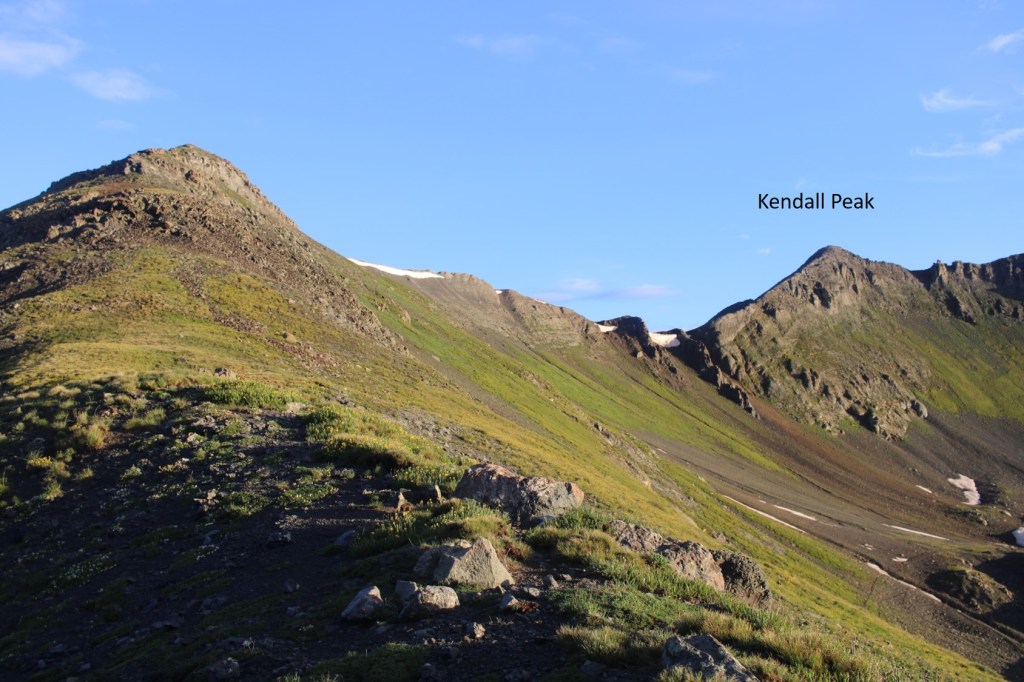
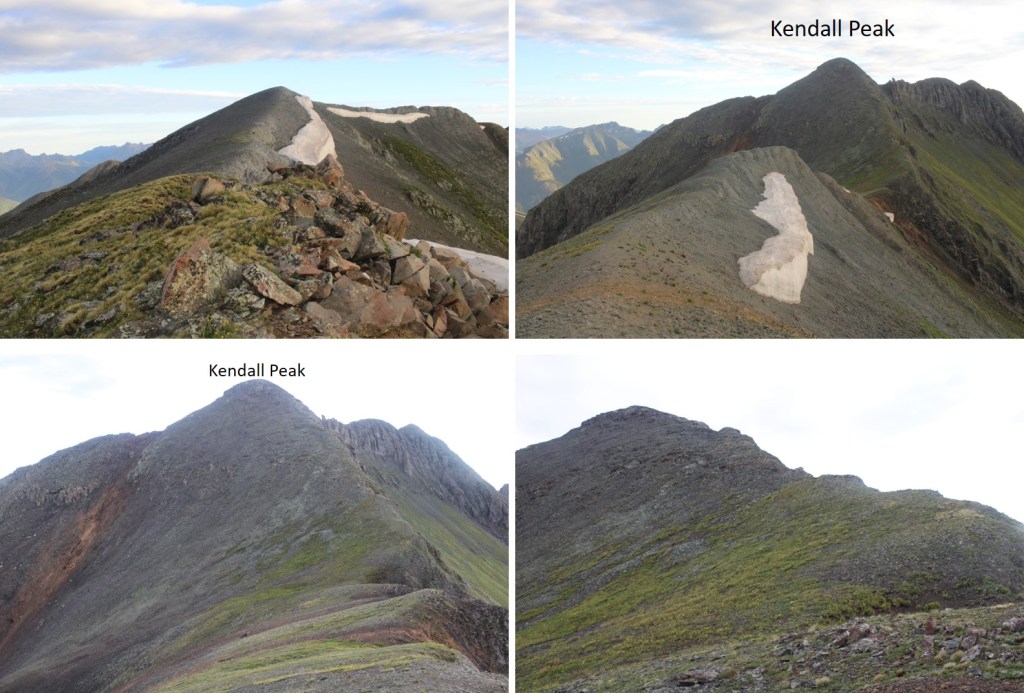
Once at the saddle I turned left, and followed the ridge to Kendall Peak.

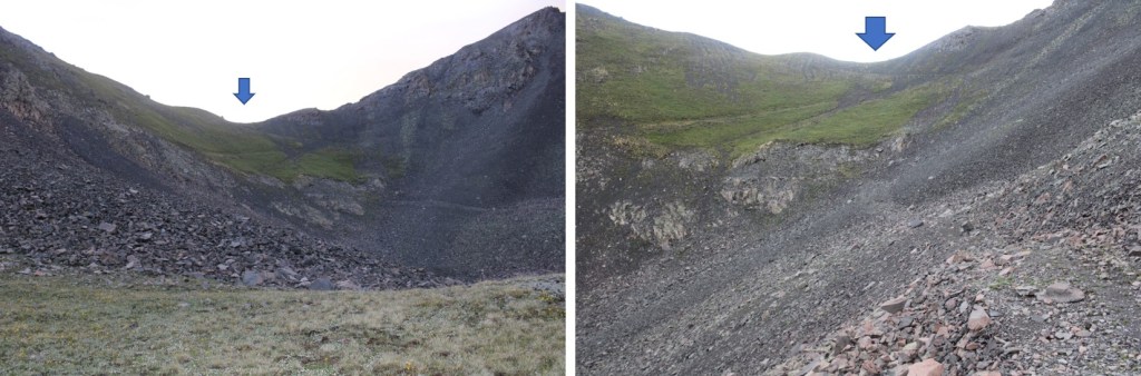
Here are some pictures of the route, which was all class 2 and straightforward.  I was so glad I chose to do this hike instead of taking the gully from Kendall Gulch (which I’d tried and failed to ascend the last time I was in the area).  This route was much easier.

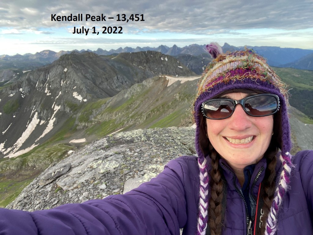
I summited Kendall Peak at 6:55am

Kendall Peak:

Here’s looking back on the route in and the saddle.  I turned and made my way back there.

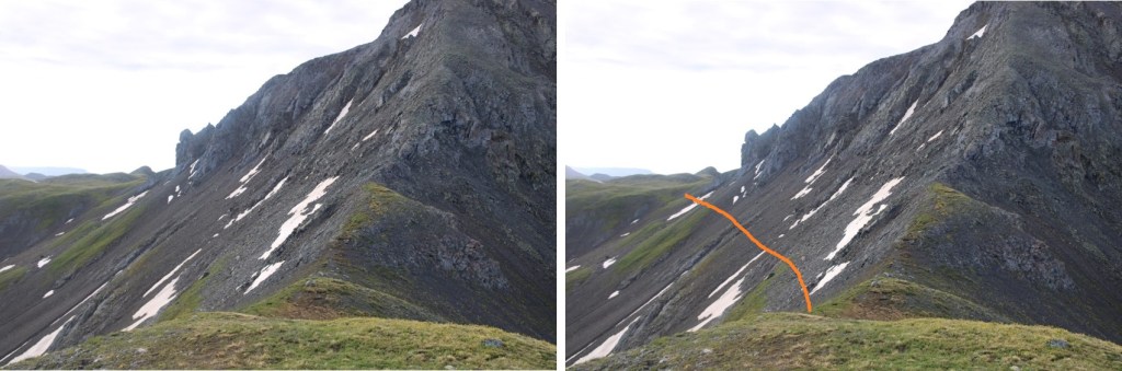
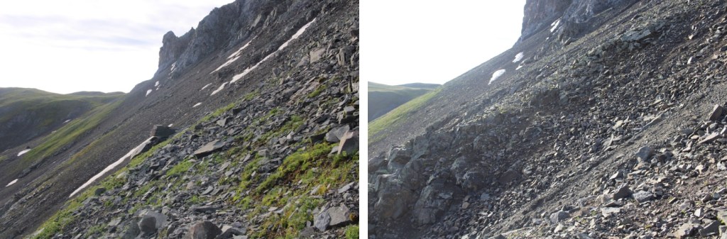
Here are some close up pictures of the route back to the saddle.

Once at the saddle it was my goal to head east, but I was worried the terrain was too steep, and I couldn’t see a trail to get across.  I went for it anyway, and ended up stumbling across a very helpful game trail. 

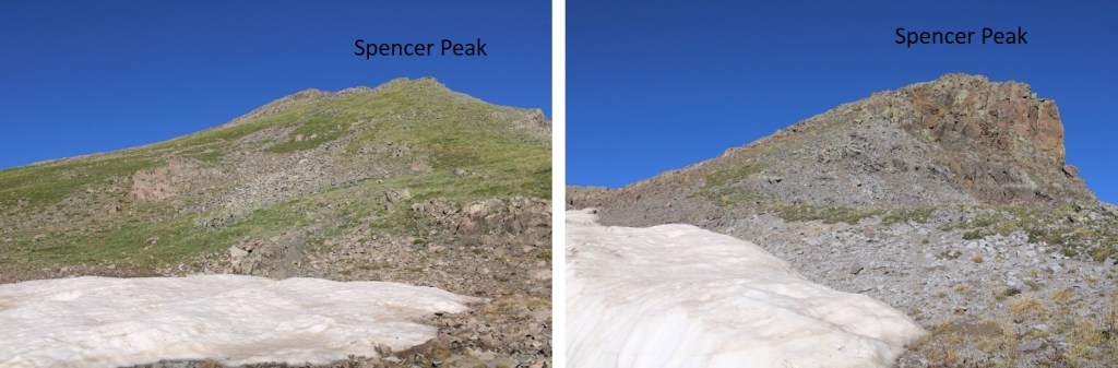
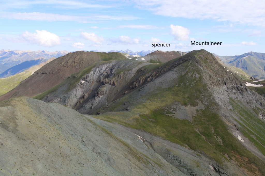
Once safely on tundra, I turned right and headed west up to the summit of “Spencer Peak” (unranked). This was all class 2.  In fact, the entire day was class 2.

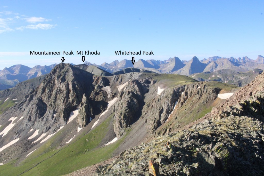
From the summit of Spencer Peak, you can see Mountaineer Peak and Mt Rhoda to the southeast

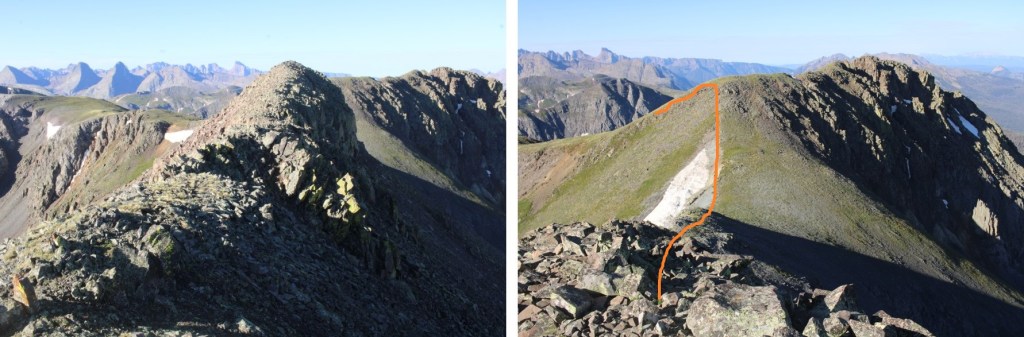
I turned left again, and followed the rocky ridge south. 

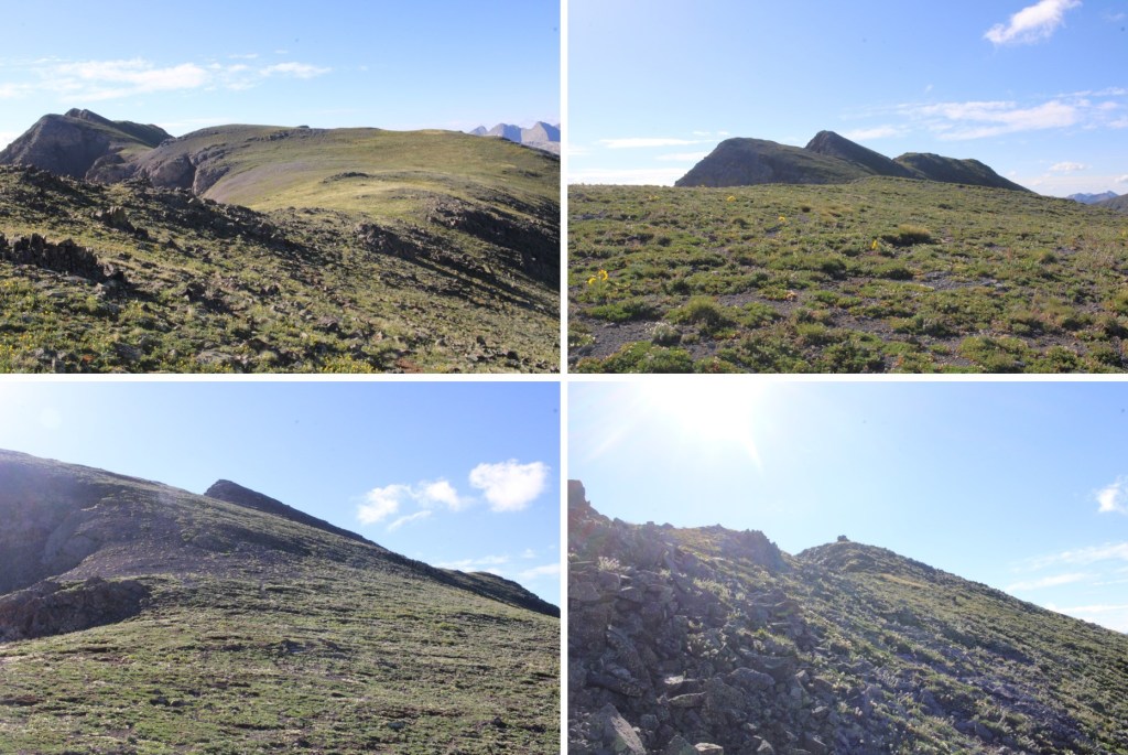
I then turned left again, and followed the tundra southeast towards Mountaineer Peak

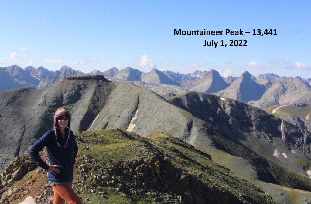
I summited Mountaineer Peak at 8:30am

Mountaineer Peak:

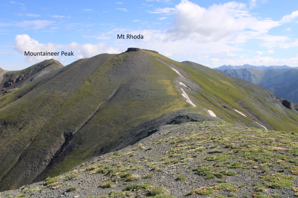
I could easily see Mt Rhoda (unranked)  to the south, and headed that way.  This was an easy tundra stroll

To summit, I went to the right of the block tower, and found more tundra (no need to climb up the tower).

Mt Rhoda:

From the summit of Mt Rhoda, here’s looking back on Mountaineer and Spencer

Continuing the loop, I headed south towards Whitehead Peak (unranked), which was another easy, tundra stroll

The summit was flat, but you couldn’t beat the views!

Whitehead Peak:

Here’s looking back at Mt Rhoda

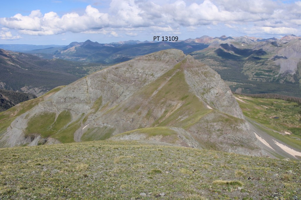
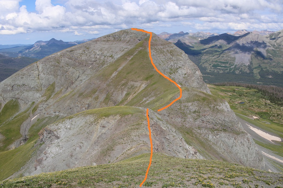
And now on to PT 13109. I headed west, following the ridge

Here’s my overall route

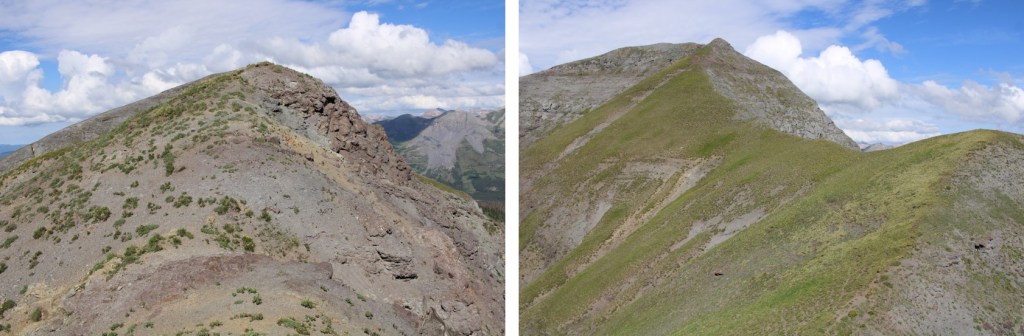
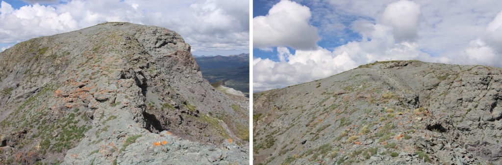
And some step by step pictures

The last bit to the summit was on a bit of an airy traverse, but still class 2, just narrow

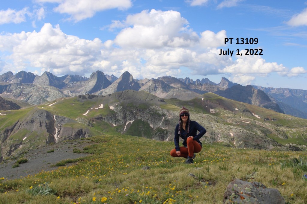
I summited PT 13109 at 9:45am

PT 13109:

Here’s looking back at Whitehead and Mt Rhoda

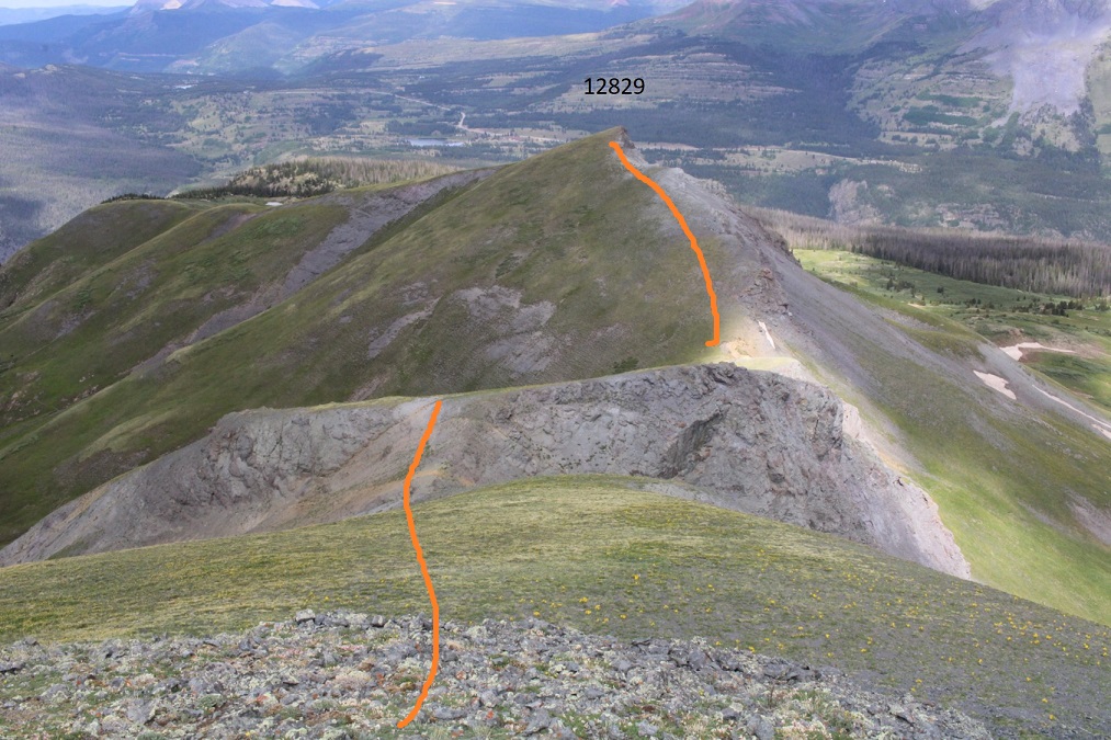
I continued west, towards PT 12829

I came across some ptarmigans along the way

At the saddle I came across an open mine shaft… then continued up the ridge

From here I could see the route I took that morning, and I could actually see the old road, or what was left of it (directly above the cairn)

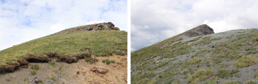
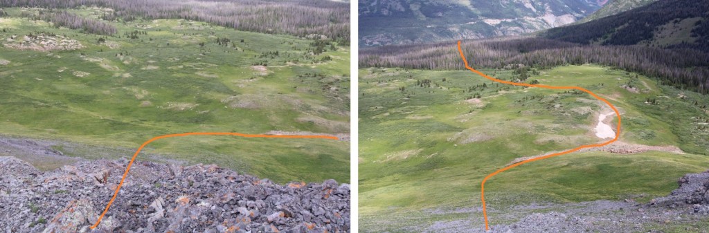
I continued west down the face of PT 12829.  It was my goal to link up with the Whitehead Trail.  I do not recommend this. Serious route finding is required.  Instead, take one of the many trail that will take you back to the road you hiked in on.  In any event, here’s my route down

I swear there’s an actual trail here… I kept losing it, but then finding it again

I eventually came to Deer Park Creek, and that campsite I mentioned earlier

I then followed the road back to my truck

I made it back to my truck at 11:45am, making this a 12.88 mile hike with 4571’ of elevation gain in 7 hours, 45 minutes.

On to the next trailhead!
Kendall Benchmark – 13073

RT Length: 4.05 miles

Elevation Gain: 1597’

If I’d known Kendall Benchmark was a ranked 13er, I’d have done it Kendall Mountain. However, at the time I was unaware, so I was back in the area to pick this one up.  I didn’t need to allot an entire day for this hike, so I decided to do it the night before I did the rest of the Kendall Group.  I arrived at Kendall Gulch (11,700’) at 3pm, and it was raining.  It was only supposed to rain until 3pm, so I didn’t think much of it, put on my rain gear, and was on the trail at 3:20pm.

This is a road hike.  I followed the 4WD road for almost a mile until I came to a turn

I then turned left, and followed this road for another three quarters of a mile

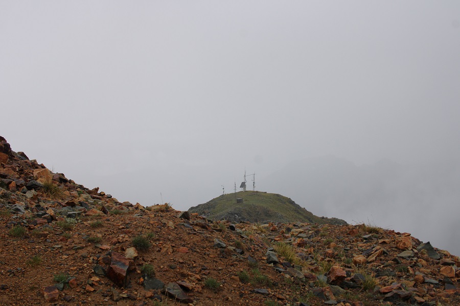
The rain didn’t stop, but I’m mentally preparing myself to getting used to being uncomfortable.  I’d like to do a thru hike someday, but with my Raynaud’s the rain is a serious issue.  I figured today would be a good day to test how I did in the rain, when I had a vehicle nearby.  I continued on the road until I saw this

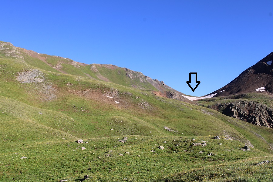
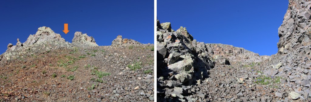
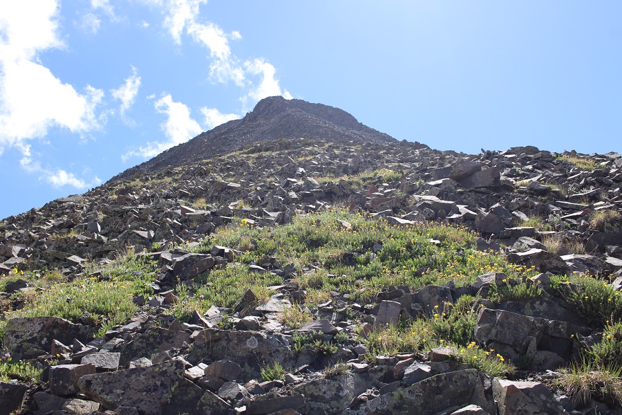
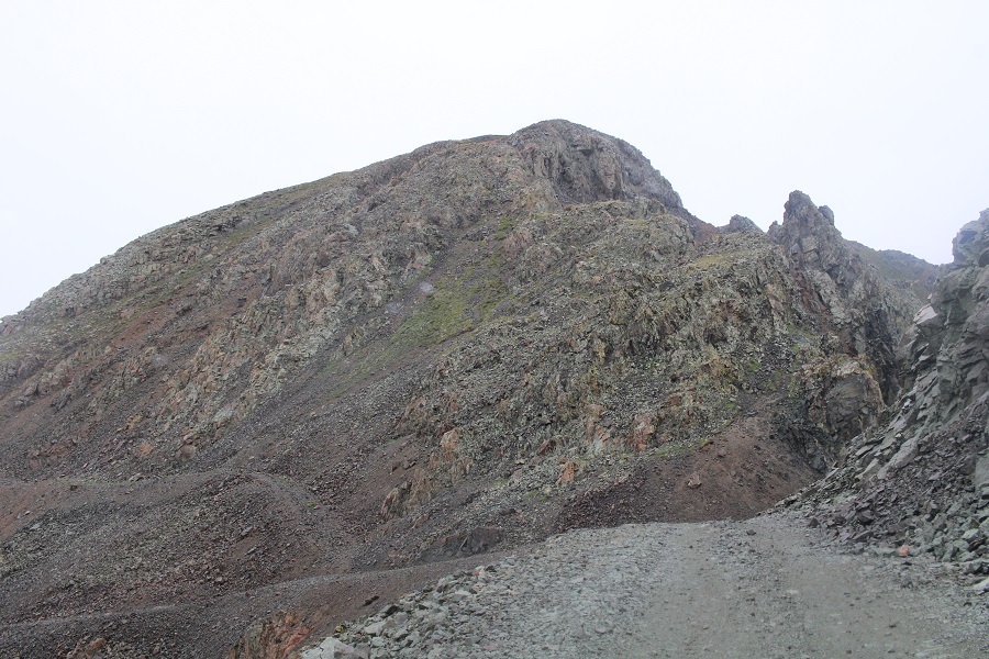
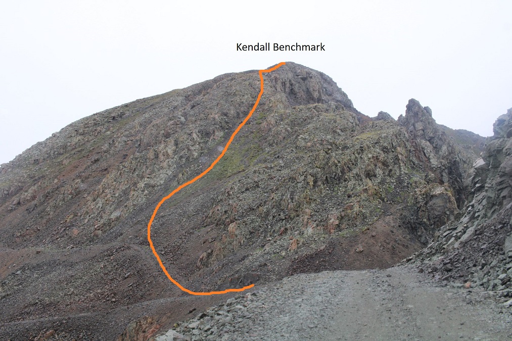
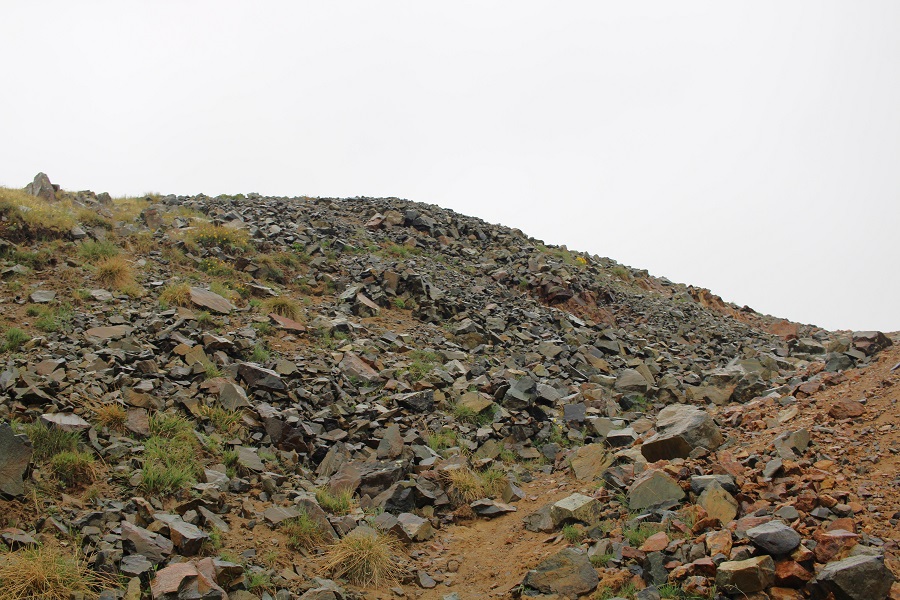
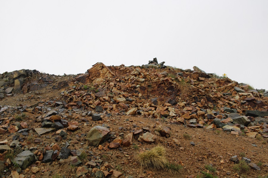
From here it’s a short trek to the summit.  Since it was raining the terrain was wet, and the scree was easy to ascend.  This was choose your own adventure, as all the gullies ‘go’. Here’s my route

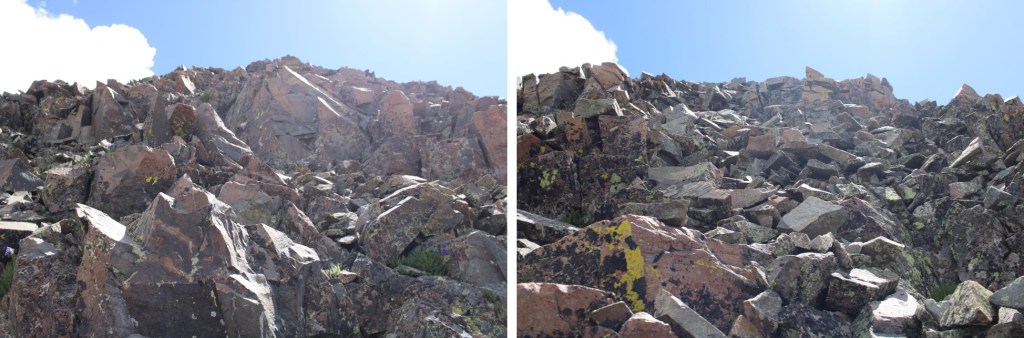
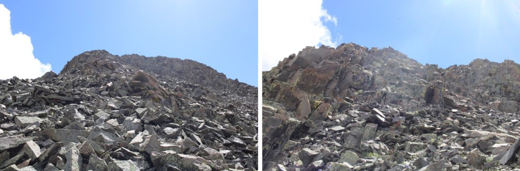
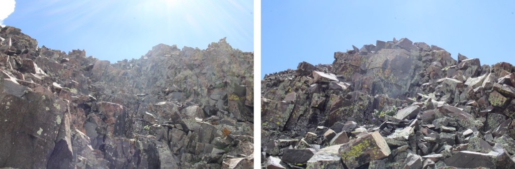
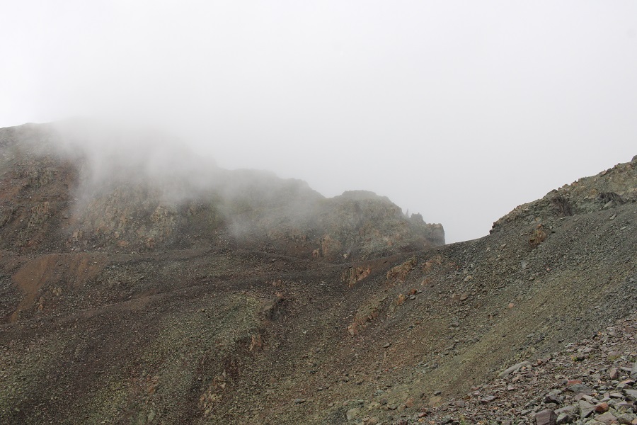
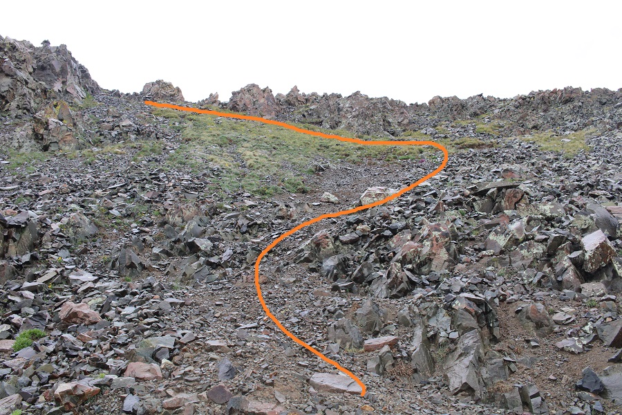
And some step-by-step pictures

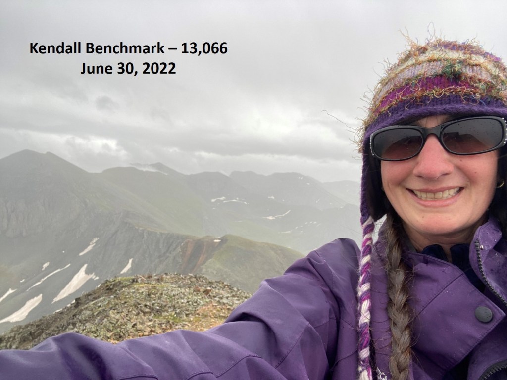
I summited Kendall Benchmark at 4:15pm

Kendall Benchmark:

Even though the clouds were spitting rain, they didn’t look menacing and I wasn’t hearing thunder.  However, at the summit I felt a buzz between a few rocks and decided to get off that summit ASAP.  I ran down the wet scree, back to the road.

Once back on the road, I followed it back to my truck

I made it back to my truck at 5pm, making this a 4.05 mile hike with 1597’ of elevation gain in 1 hour, 40 minutes.

On to the next trailhead!
Kelso Mountain – 13,164

RT Length: 6.32 miles

Elevation Gain:  1937’

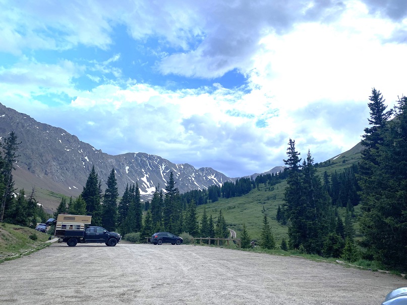
I arrived at the Grays and Torreys Trailhead the night before, curious to find there were only a handful of vehicles in the parking area.

I picked out a prime spot (that proved later to be a bad choice), and settled in to read a bit before heading to bed.  I talked to an awesome CDT thru hiker, and noticed two girls fiddling with a camper in the parking lot.  A very old camper, on top of a very old Tundra.  They were all over that camper; on top pulling at buckles, on the back, fiddling with the door, banging on the sides, etc.  When I saw them bring out a hatchet I stopped reading and walked over to them.

I said hello, told them I was a mom and a Girl Scout Leader, and also told them my kids ages, trying to let them know I wasn’t a freak. I asked them if they needed any help? Yes, yes they did.  It seemed they’d locked the keys to the camper inside the camper.  I asked them how old they were. 16 and 17.  Wow!  I was impressed!  Not only had they driven this clunker up to the Grays and Torreys Trailhead, they’d convinced their parents to let them do it alone, in their dad’s truck.  When I was their age my mom wouldn’t have let me do that.  I know because I’d asked, then had to resort to the “I’m sleeping at Kelly’s house” thing as I went to bonfires in the woods where my mom had no idea where I was at.  Kudos to their parents.    The girls has about 15 14ers under their belts, and wanted to tackle Grays and Torreys in the morning, but it was going to be a long night if they couldn’t get the back open.

OK, time to problem solve.  I didn’t think breaking a window was a good idea if we could help it.  I knew how to open a car window with duct tape.  I asked if they had any, and they brought out a small roll of electrical tape. That wasn’t going to work.  Next, I looked at the door handle, which didn’t look too secure.  I was thinking we could probably jolt it back and forth and it might break.  As I was jiggling the handle, I asked how close the next set of keys would be?  They said it didn’t matter, because the keys to the truck were inside the camper as well.  I was really thinking I’d just drive them back to Denver or something to pick up the keys from their parents, when one of the girls got the fabulous idea to look for another set of keys to the camper, and found them inside the glove box inside the truck.  Problem solved.  I wished them luck, happy they hadn’t broken a window with a hatchet, and told them to knock on my window if they needed anything during the night. 

It rained.  Around midnight I heard something crawling around underneath my truck. It sounded slow, and it was trying to get itself inside the gears.  I pounded the side of the truck and it seemed to creep away.  Half an hour later it came back, so I knew if I didn’t get rid of this thing it was going to be a long night.  Also, I wasn’t going to make friends at the trailhead if I kept banging on the side of my truck all night.

I got out of the topper and into the front seat of my truck. I turned it on and revved the engine a few times.  When I was done, and crawling back into the topper, I saw a porcupine waddle away from underneath. It seems my secluded spot at the back of the parking area had been a bad idea, as it was easy access for porcupines.  No one else had porcupine trouble that night (that I talked to).

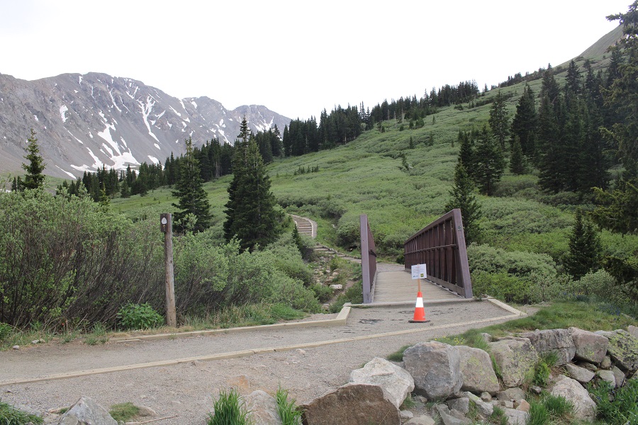
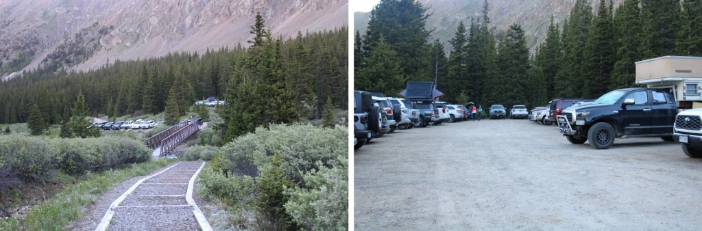
I was up and on the trail at 4:30am, and the trailhead was now about half full of vehicles.  I crossed the bridge, and began following the Grays and Torreys trail.

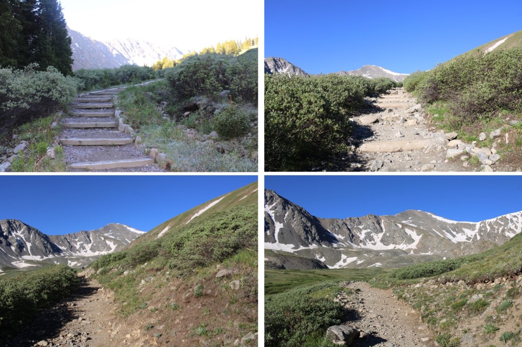
This is a class 1, wide, easy to follow trail. 

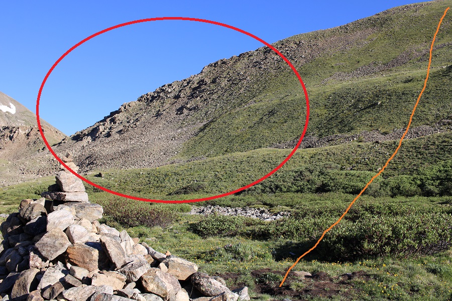
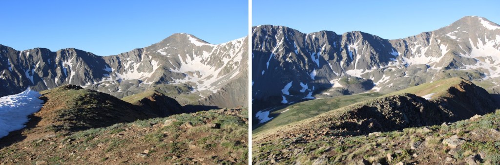
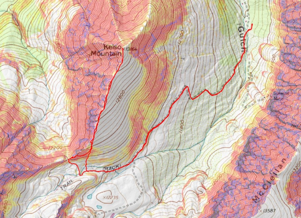
My beta said to follow the trail all the way to the Kelso/Torreys saddle, so that’s what I did, but you don’t need to do that.  You can gain the ridge at any point after about 11900’.  If I had to do this again, this is where I’d ascend the ridge

But, I had beta that said to go to the saddle, so that’s what I did.  I followed the trail for about 2 miles, and then made my way to the saddle. There’s a trail the entire way.

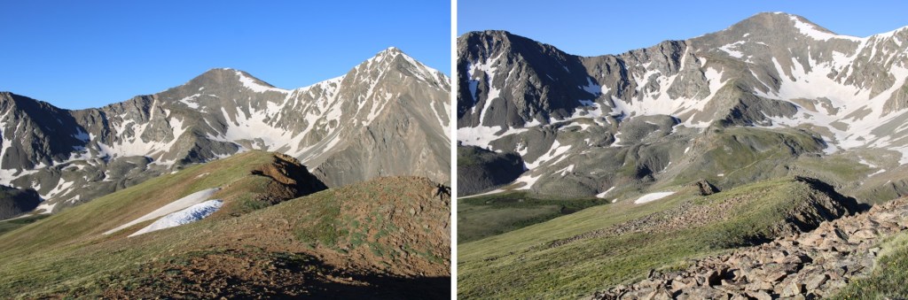
When I got there, I turned to go east up the ridge, but noticed it was all class 3 and above.  This seemed silly to me, because there was clearly tundra below.

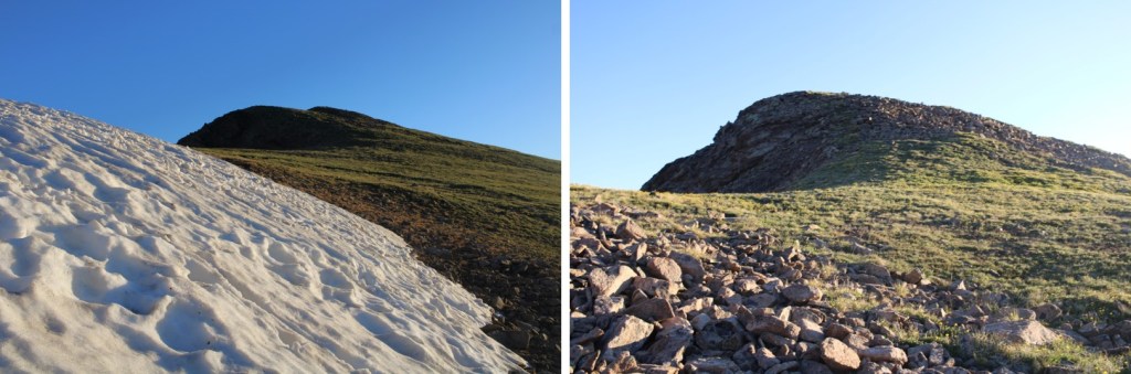
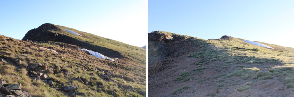
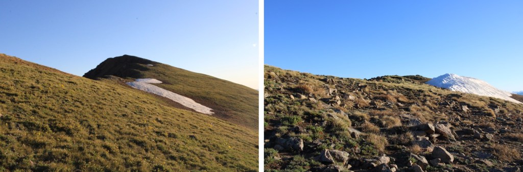
So I backtracked and took the tundra route to the ridge.  This was a fabulous idea, easy going, and I didn’t need a helmet.

This is what I was trying to avoid, which looks ok from this side, but more spicy from above.  Just take the tundra route.

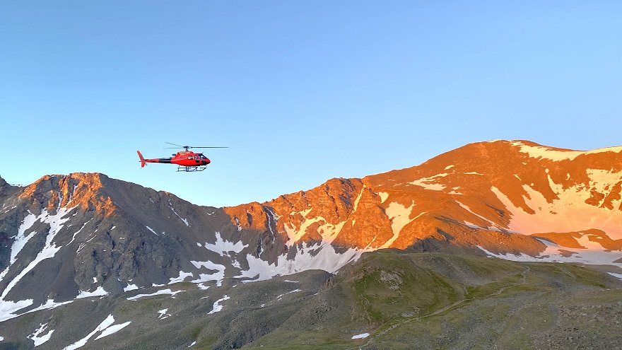
It was here, around 5:30am, when I saw my first helicopter flyover for the day.  It got dangerously close to the mountains, and I was worried someone needed SAR.  All kinds of scenarios went though my head. I knew CFI was doing work in the area, but the post I’d seen a few days ago said they weren’t starting until next weekend (I found out later they posted again with the proper dates last night, but I was already at the trailhead, so I didn’t know this).  I was worried someone needed help, and the helicopter couldn’t find them.  I spend a lot of time looking for someone myself as I hiked.  

Helicopter:

The helicopter came back around about 20 minutes later, and took a different path.  Once again, I was worried they were searching for someone.  Then about 20 minutes after that I saw the helicopter carrying wooden ties, and knew it must be CFI doing trail maintenance.  THANK YOU CFI!

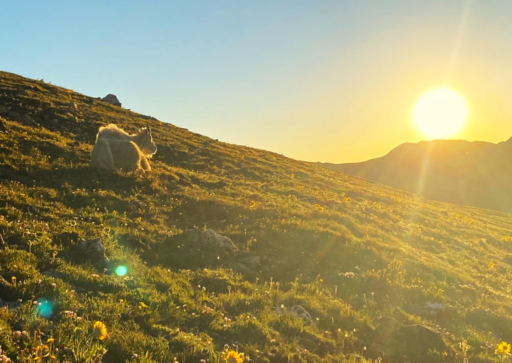
Once on the tundra, before gaining the ridge, I came across some mountain goats lounging, watching the sunrise.  I stood there and watched it with them.

Then I continued on towards the ridge

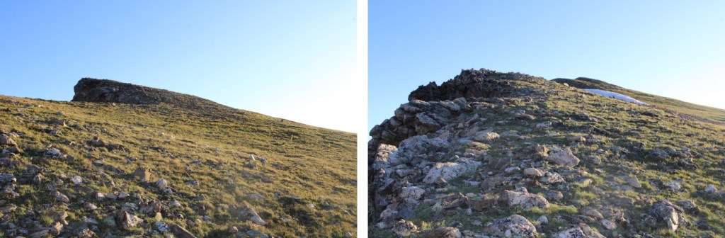
After making it to the ridge, I followed it northeast to the summit.  This was a simple ridge walk on tundra.

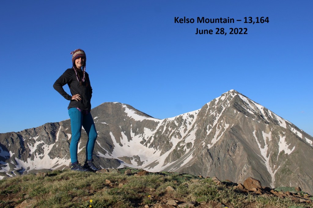
I summited Kelso Mountain at 6:30am

Kelso Mountain:

At the summit cairn there was a journal that was recently placed there.  I know some people get worked up about this type of thing, but it’s there for a good cause, and it will be taken back down.  Needless to say, I text the man battling cancer a good morning, and sent him pictures of the goats. 

Then I retraced my steps back down the ridge

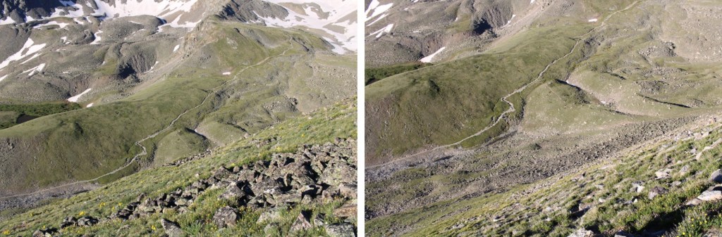
I left the ridge at 11250’ to head back into the basin.  I aimed southwest, towards the obvious Grays and Torreys Trail

The goats were still lounging around, so I stopped for a bit to enjoy their presence.  They seemed unbothered by the flyovers.  I didn’t get too close, but it was neat they were so relaxed.  The views were incredible.

After a few minutes I got up again, and headed down the tundra to the trail below, noticing there were tons of people hiking like ants below.

Once back on the trail I realized it was still early, and considered Grays or Torreys or both, but I had a 10am meeting I needed cell service for, and I wasn’t 100% sure I’d have it on the mountain, so I headed back to the trailhead.

Check out the CFI helicopter picking up ties

I made it back to the trailhead at 7:30am, and the parking lot was already full.  It’s a Tuesday.

I got back to my truck at 7:30am, making this a 6.32 mile hike with 1937’ of elevation gain in 3 hours.  This would be an easy addition to Grays and Torreys.

On to my meeting!

Prize Benchmark – 13,384

RT Length: 10.4 miles

Elevation Gain: 3996’

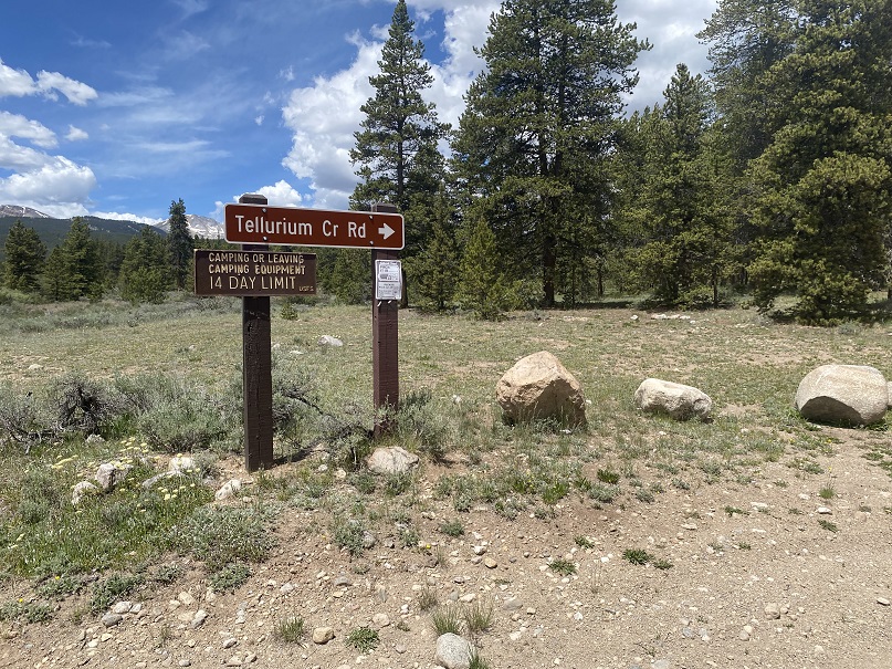
There is a ton of camping at the Tellurium Trailhead, so that’s where I spent the night. 

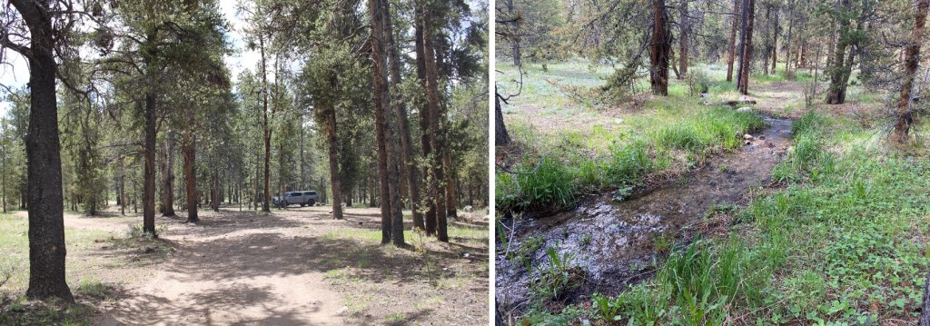
I was parked next to a small stream, and had the entire area to myself. Not bad for a Friday and Saturday.

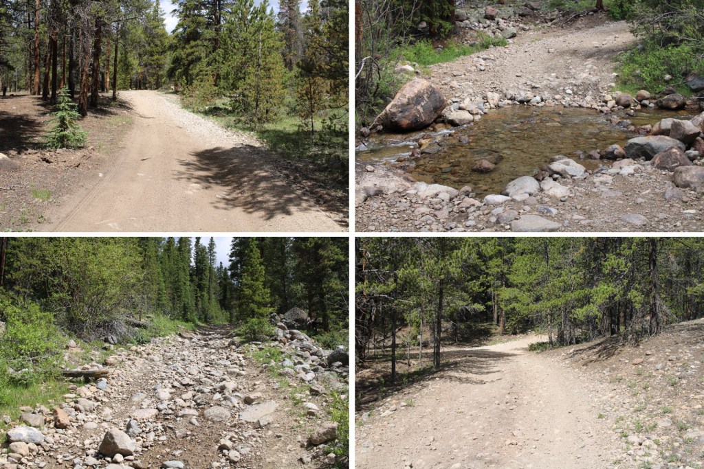
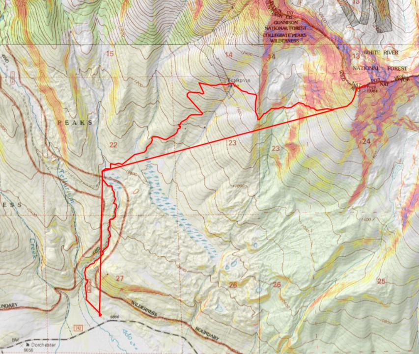
I was up and on the trail at 4:30am, following the 4WD dirt road 584 north for just under 1.5 miles.  There were a lot of dispersed camping sites along the road.  I was glad I’d parked where I did and hiked in.

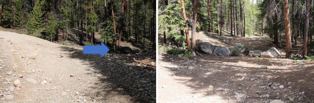
After hiking for just under 1.5 miles I came to an old dirt road that has been blocked off.  It was on the right, and wouldn’t have been obvious in the dark.  There is no parking there.

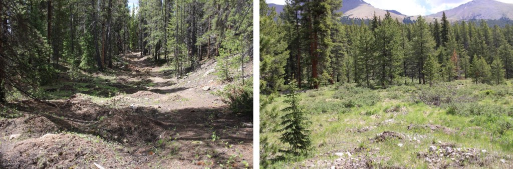
This was a road someone had tried to make unusable.  It made hiking interesting, as I could not hike in a straight line.  The road was obvious and easy to follow however.  

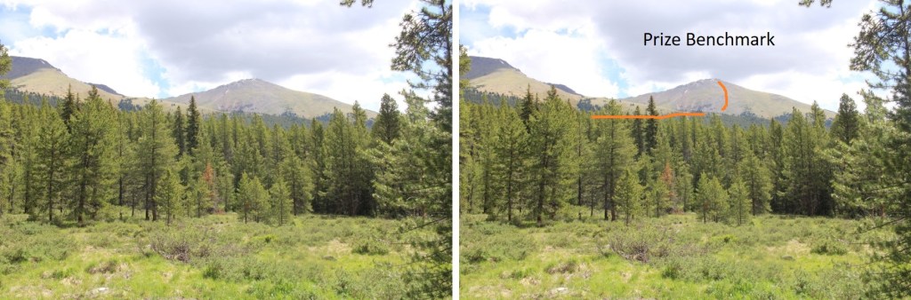
When you come to the meadow, if it’s light out, get a good look at Prize Benchmark. This is the route you’re going to want to take.  Notice there’s a ridge?  You’re going to want to parallel that ridge, then dip into a basin before ascending Prize.  This will make more sense later.

There were two creek crossings I did not need to take off my shoes to cross

There were a few side roads that went to old houses and mining operations.  Every time I had an option to turn I kept left (twice).  I followed this road all the way to the Enterprise Mine.  There’s not a lot left…

Here’s where I messed up. I went over the ridge.  Don’t do that.  Instead, try to stay parallel with the ridge, as you’ll want to cross it at a low point because you’ll be descending into a basin.  There is no trail here, but don’t try to ascend the ridge, stay at about 11800’.

When you can see east, it’s time to descend into the basin.  There are a few game trails here. Yes, you’ll be headed back into the trees.

I just kept heading east.

I could see a grassy band I wanted to take to the ridge, and thought the easiest way to get there was over a pile of rocks.  It wasn’t.  The rocks weren’t stable, and more than once I seriously considered heading back.  This is the way I’d recommend ascending

Here are some pictures of the way up the ramp.  I stayed to the left of the trees.

Then I followed the tundra east to the ridge

As I was heading east, and the sun was trying to rise, I notices a small herd of elk to my right.  They were sharing the tundra, and after a while the mamas woke their babies and trotted off. 

I continued hiking east.

As I was trudging up the tundra, I heard what sounded like a bark.  At first I thought it was a coyote, but they don’t bark.  Then I thought maybe a dog, but it was unlikely there was a dog all the way out where I was.  I heard a single bark every two minutes or so.  One time, when I turned around, I saw an elk, and realized the ‘bark’ belonged to her

Elk barking:

I figured she’d gotten separated from her herd, and was calling them. On I trudged.  I reached the ridge, and turned left.

This was all class 2. I navigated the rocks to the left

And then could clearly see the summit

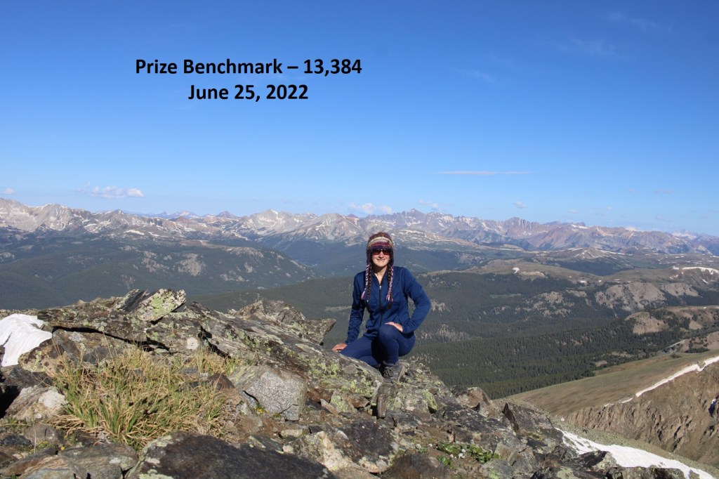
I summited Prize Benchmark at 8:15am.  I could still hear that elk barking, but watched as it went in the direction of the herd.

Prize Benchmark:

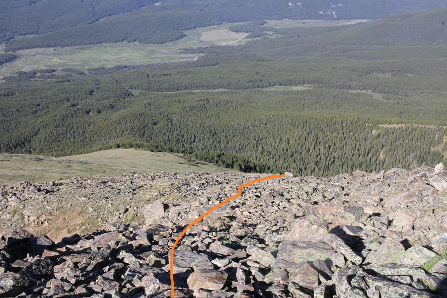
I turned and re-traced my steps, thinking to myself how much easier this route had been rather than doing this from the other side with Booby and 13460.  I aimed for the tundra below.

This time I stayed to the right of the trees, aiming for the grassy rib and gully below

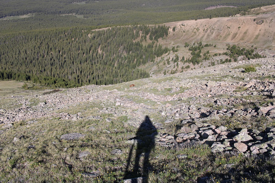
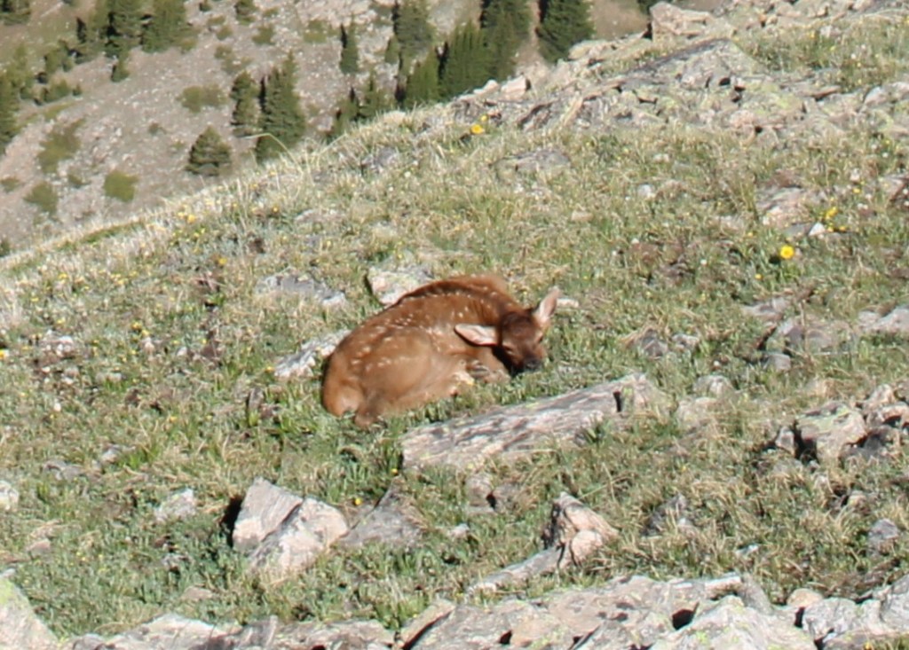
As I was hiking down, I saw something that didn’t fit with the terrain.  It was small and brown, and even from a distance, I thought it was an elk calf. IF was curled up, and I was worried it was dead, but seriously hoped it was a misplaced piece of wood.

As I got closer, it was obvious this was an elk calf, and I was sure the elk I’d heard earlier was looking for her baby. 

Then, suddenly, the calf popped up and stood on all fours, looking at me straight in the face.  I was relieved it was alright, then went into mom mode:  I chastised the baby, saying “Your mom’s looking for you! I know you heard her, because I heard her for over half an hour. Go back to your mama!” I pointed to where the mom had gone off to, and the calf ran in that direction. 

Now to continue on back to the basin

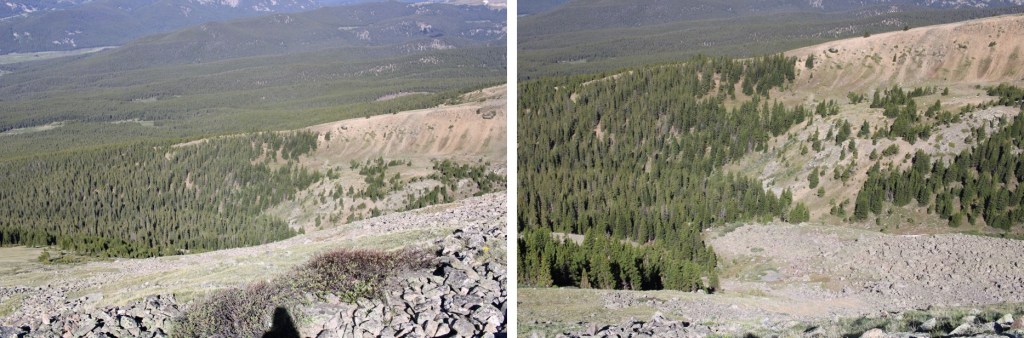
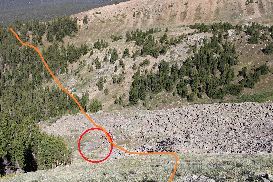
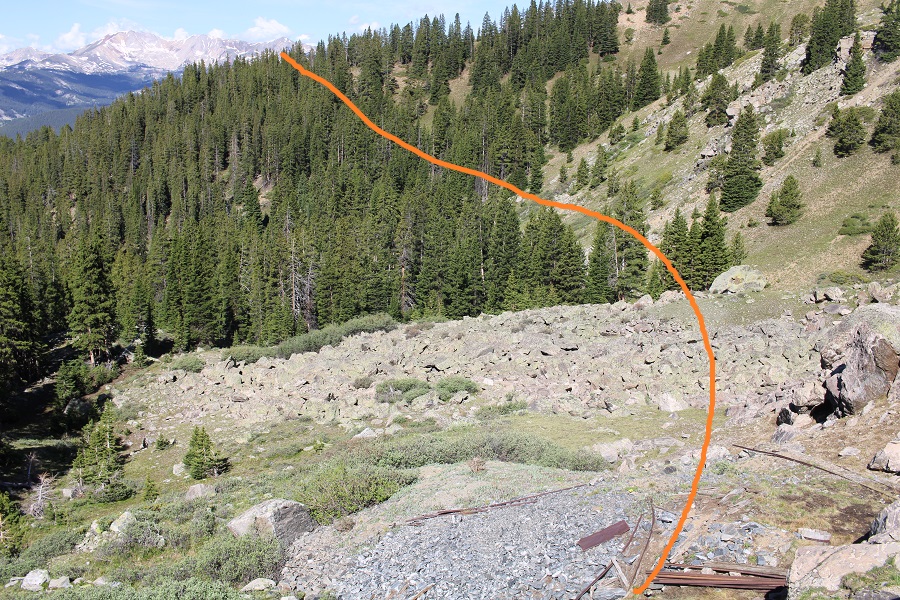
Here’s the route I took out of the basin.  While taking this route, I saw something I hadn’t on my way in:  remnants of a mine (circled in red).  I was going to explore when I made it down there.

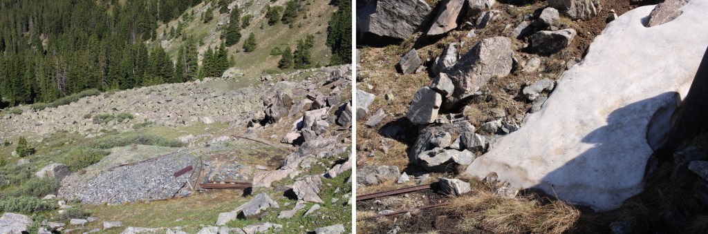
There wasn’t much to see.  It looked as if the opening was entirely covered by snow… or a large boulder had been placed to cover the entrance.

I took a few pictures and continued on.  Now to regain the ridge. 

Once on the ridge I stayed level at 11800’ and aimed for the Enterprise Mine, which I could clearly see while on the ridge

Once at the mine I followed the destroyed road back to 584

I then followed 584 back to my truck

When I got there, I stopped my tracker, only to find it had gone all wonky, right at about the time I’d seen the calf, so my mileage was taken from my iPhone (which is usually pretty close to my tracker) and the elevation gain from CalTopo.  I made it back to my truck at 11am, making this a 10.4 mile hike with 3996’ of elevation gain in 6.5 hours.

On to the next trailhead!
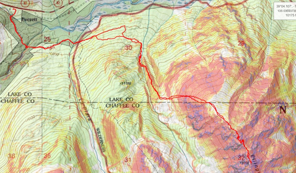
Ellingwood Ridge – 13,222

Rt Length: 9.9 miles

Elevation Gain: 3622’

I’d been crying all day, so when I made it to the trailhead I was quite the mess.  My eyes were swollen, my nose was red, and I was tired.  My 23-year-old daughter coaches color guard, and last week, one of her team members was murdered.  I’m not going to go into the details of what happened (news article here), but my daughter wanted to be at the viewing and also at the funeral to support her students.  I wanted to be there to support my daughter.  She was determined to make sure she talked with each and every one of her students individually, which meant we were there a long time.  I watched high-schooler after high-schooler break down in front of the (open) casket, crying, some uncontrollably.  There was a slide show of the best moments of her 17 years scrolling, with several pictures including my daughter.  When all of the guard members were there, they held hands and stood in a semi-circle around the casket, grieving together.  This was one of the hardest things I’ve had to witness in my life, and I was just on the sidelines.  I was mad, angry, hurt, confused, and so many other emotions I can’t put into words, for everyone involved.  I cried excessively during the entire funeral, my arm around my daughters’ shoulder, trying to comfort her as well.  I dropped my daughter off at the airport (she’d been in Georgia for the summer, and flew back for the funeral), and drove to the trailhead.   I needed a hike, as I had a lot to process. 

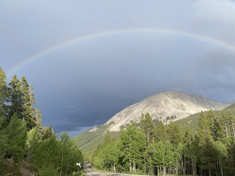
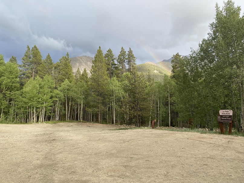
When I got to the La Plata Gulch Trailhead it was raining, but after a few minutes a rainbow came out.  I needed that rainbow.  I also needed sleep.

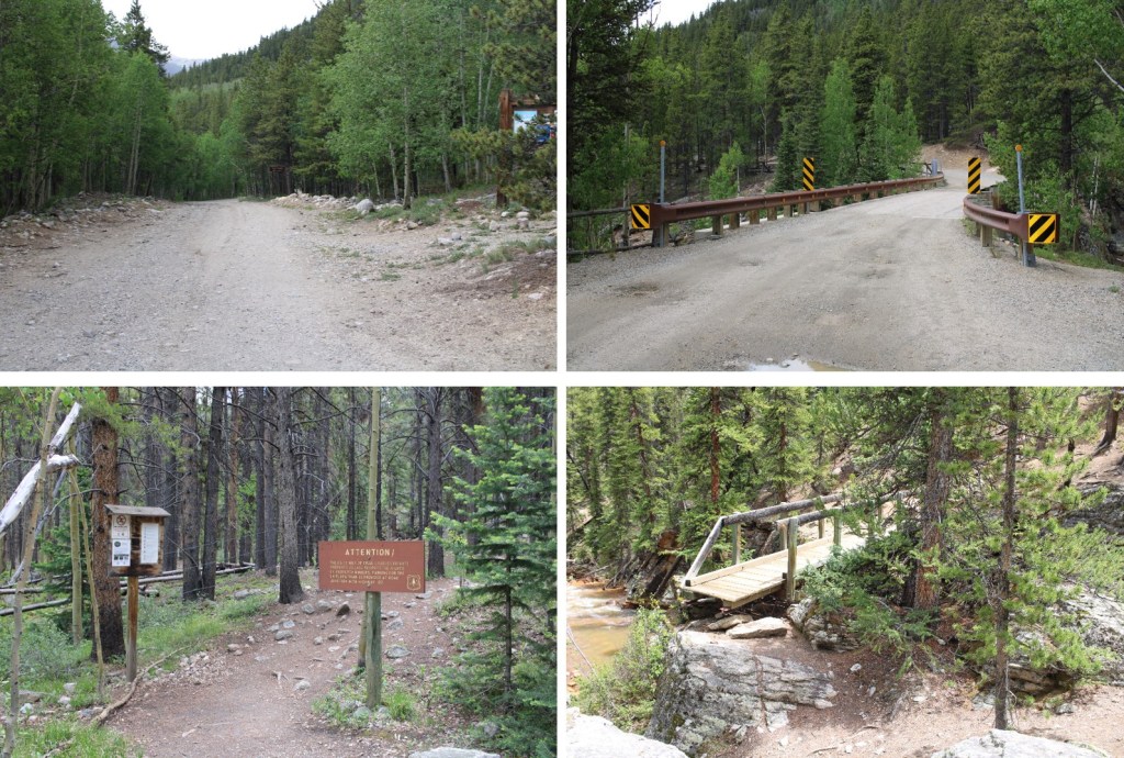
I went to bed early, and was on the trail at 4:30am.  The trail begins by following the La Plata Gulch Trail

After following the trail for 1.3 miles, and after the second bridge crossing, there was a faint trail I took to the left

I followed this faint trail until I came to a third creek

At the creek the trail stopped, so I turned right and followed the creek.  It’s important not to cross the creek too soon! 

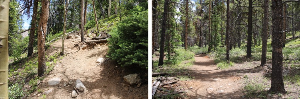
The creek had a lot of deadfall, but there is a faint trail that can be navigated.  I followed it until just after I saw this large rock formation on the left, at about 10630’.

AFTER this rock formation I crossed the creek, and made my way to a small ridge

I followed this ridge to treeline

At treeline, to my left I could see my route to gain the ridge. 

This is the route I took… up an obvious gully.

I started out rock-hopping on unstable rocks, which gave way to a scree and raspberry bush filled gully, which gave way to tundra.

I followed the tundra southwest

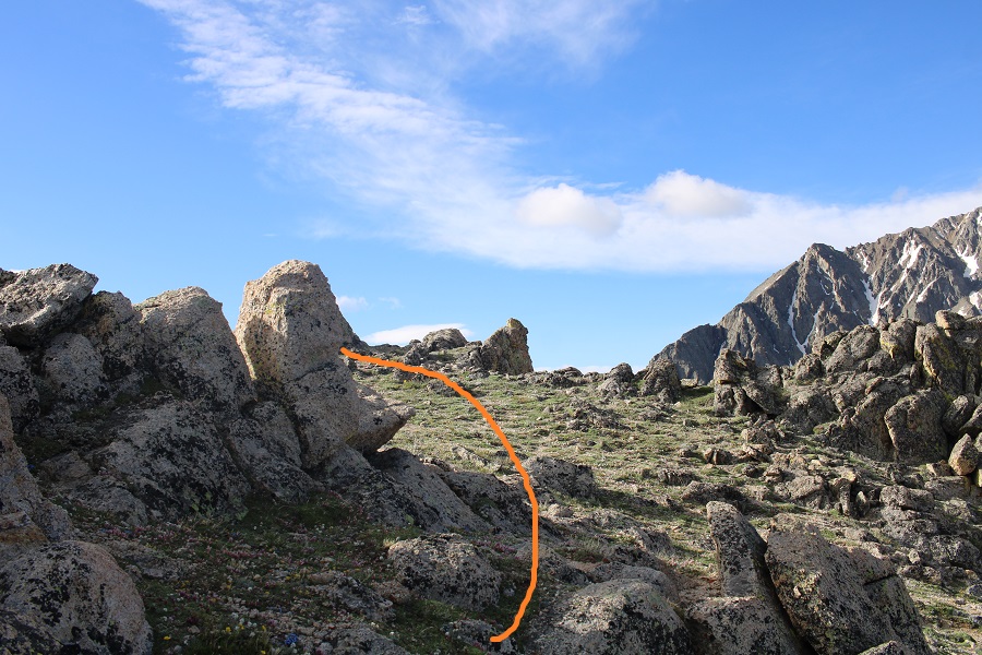
This is where the hike gets interesting.  I’ll show you the route I took that worked (I tried a couple of different things that didn’t, so I have a messy GPX file).  First, I put on my helmet for some rock hopping

Then, I went straight up the face of this

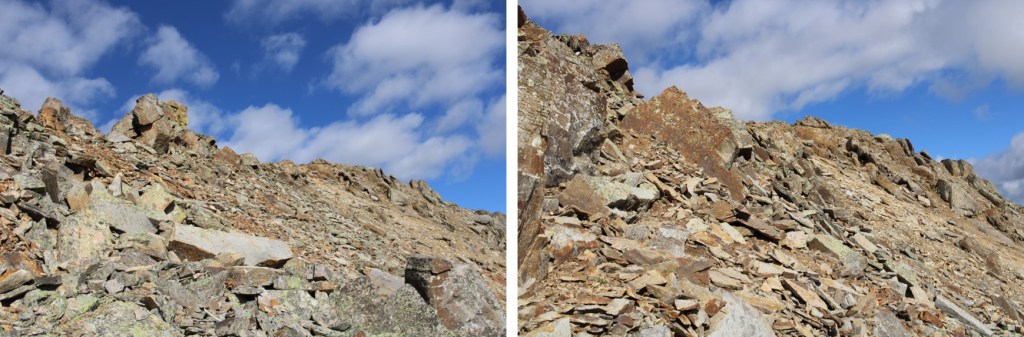
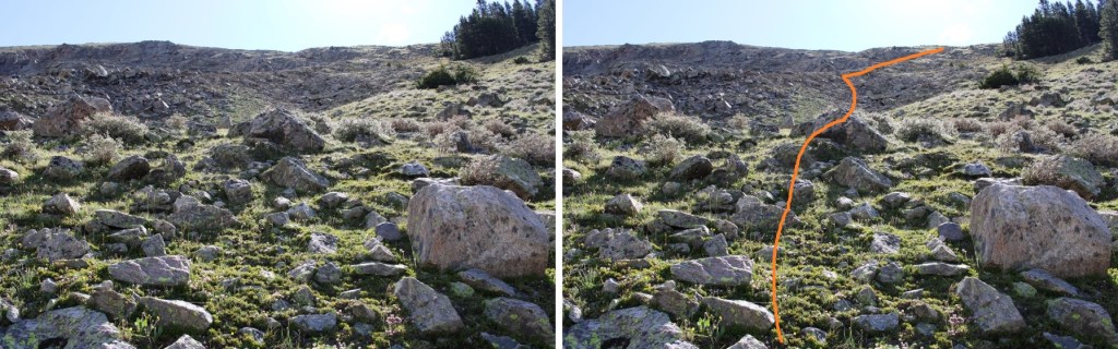
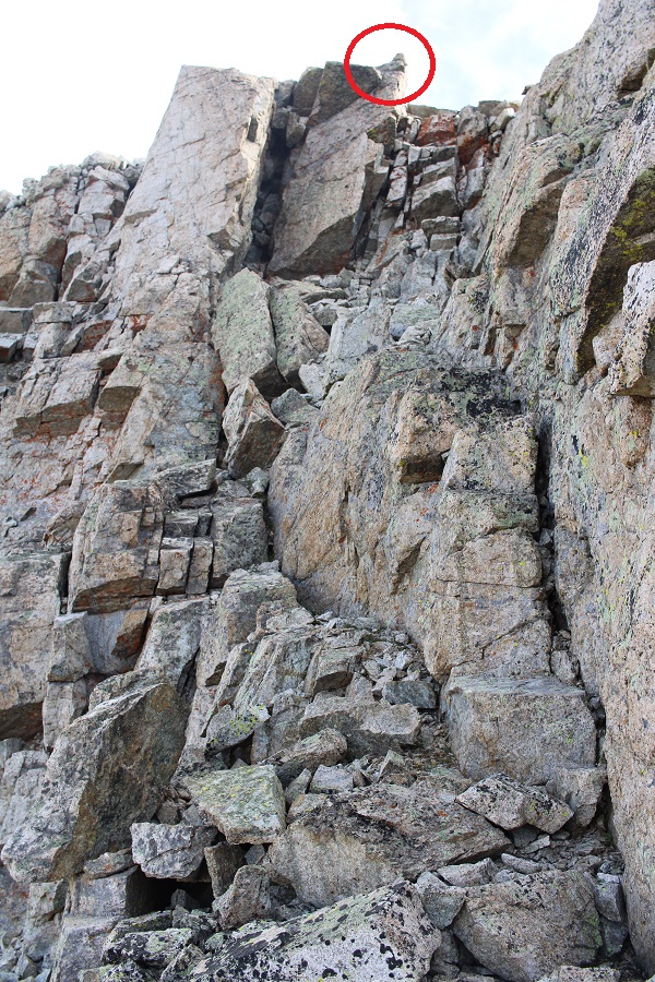
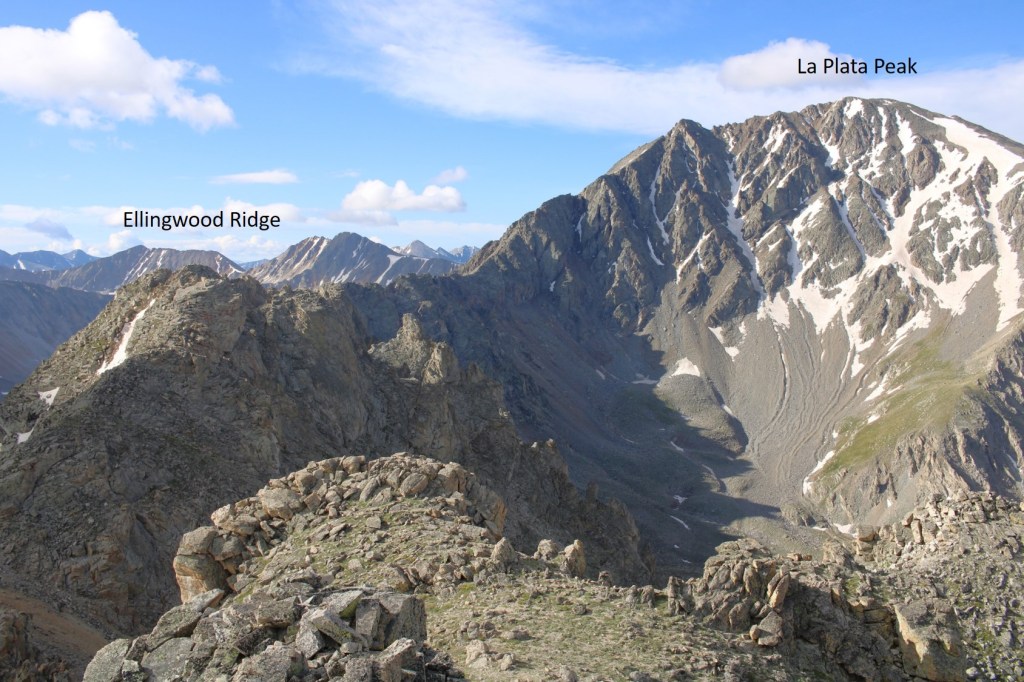
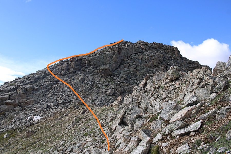
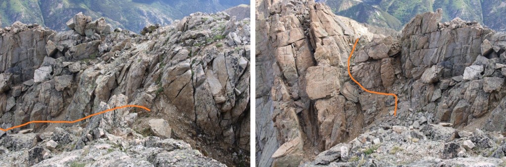
And then class 3’d this ridge to the right.  Notice the cairn in the red circle?  I erroneously assumed this was the summit of Ellingwood Point, but it isn’t.  In any event, DO NOT aim for that cairn.

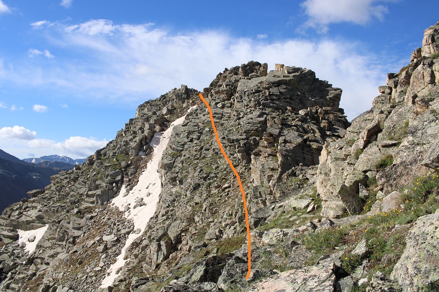
Instead, you’ll encounter some class 3-4 scrambling as you go under the ridge, losing about 50 feet of elevation. 

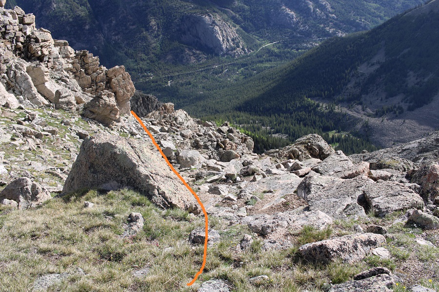
I descended down what I felt was a class 4 chimney, before turning left and finding a somewhat grassy ramp that turned to rocks and took me back to the ridge

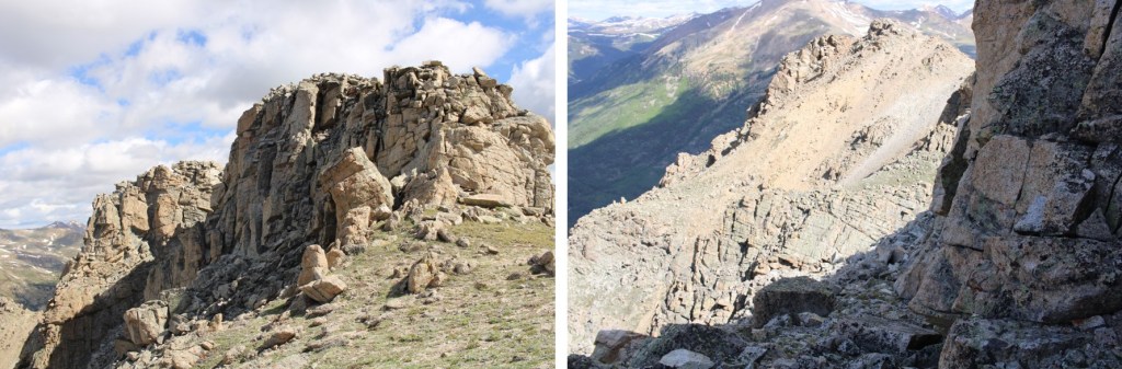
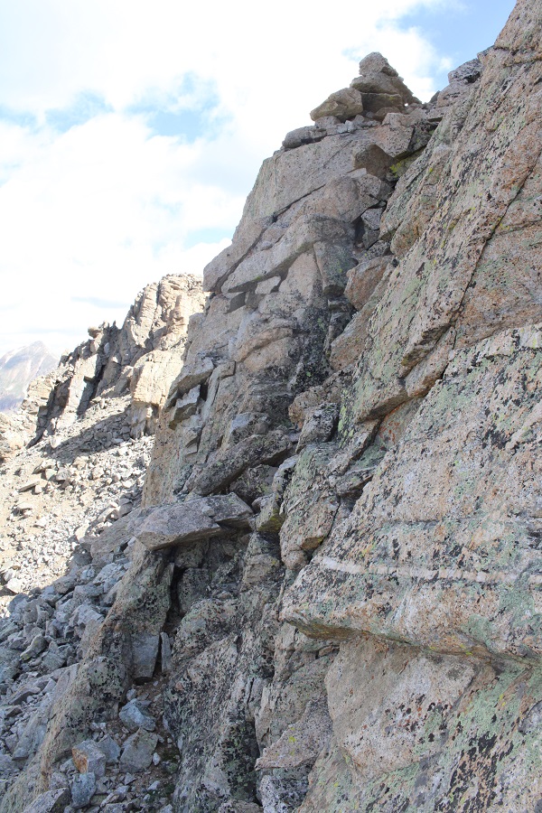
Just before reaching the ridge, I saw another cairn, and what I thought would be the summit of Ellingwood Ride.  This is also not the accepted summit.  DO NOT follow this cairn. 

However, when I made it to this point I could clearly see it was about level with the OTHER point I wasn’t supposed to summit (here’s looking back)

When I turned and looked south, I could see the true summit of Ellingwood Point.

The route wasn’t straightforward.  I made my way down, and over to the ridge.  I then lost 115’ of elevation as I made my way towards Ellingwood Point.  Here’s my overall route

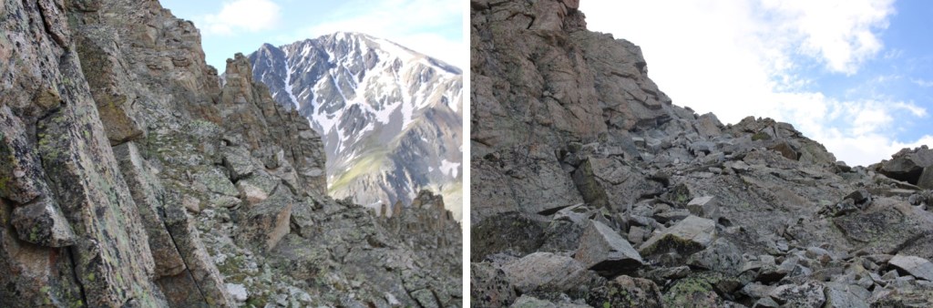
Here are some step-by-step pictures

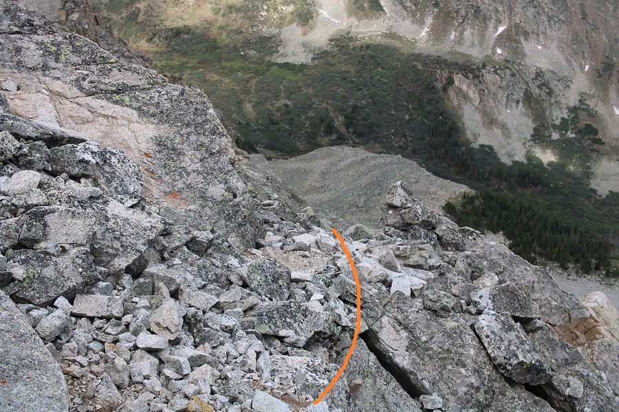
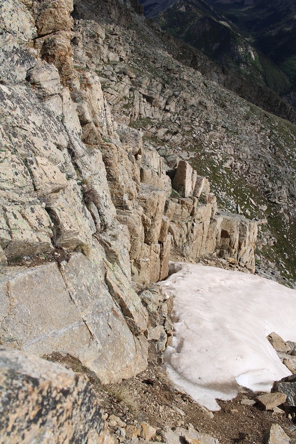
Make sure you choose the correct gully to descend!  It’s not the first gully you encounter, but the second that ‘goes’

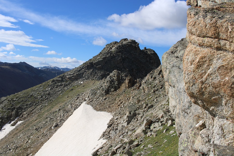
Then I turned right and made my way towards the saddle, staying above the snow

At the saddle it was choose your own adventure up

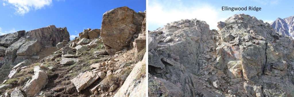
I think the traditional route is to take the gully up, but it was covered in snow, so I made my way on the rocks until it was safe to use the gully, quite near the top.  This is the route I took

I did encounter a little bit of snow towards the top, but I was able to navigate around it.  Once at the top of the gully, I descended some class 3 terrain, and re-ascended another short gully

There was a small cairn there, letting me know I was at the summit

I summited Ellingwood Ridge at 9am

Ellingwood Ridge:

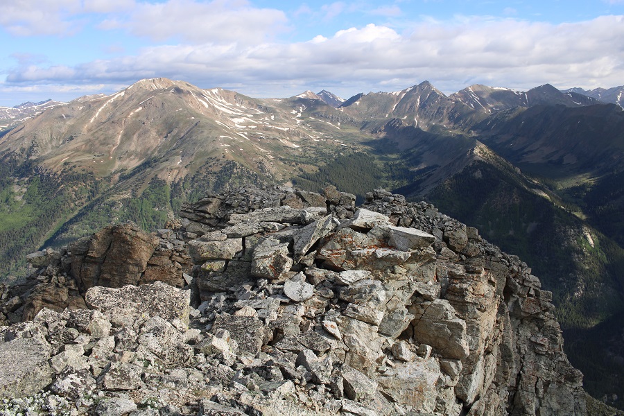
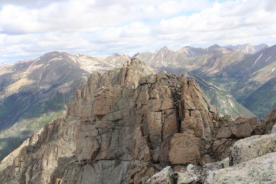
Here’s looking north at the route I took in.  As you can see, it’s difficult to tell where the ‘true’ summit is.

I was making this an out and back, mainly because there was a storm headed my way, so I turned and retraced my steps.  Here are some visuals of the harder areas to ‘figure out’

Looking down the gully, I stuck to the wall and did just fine

Then I made my way back down the ridge, keeping to the right, and heading back up that second gully, which is more obvious going this way, as it’s the only one that ‘goes’

At the top of the gully I once again lost elevation and navigated the west side of the mountain

Here’s looking up at that class 4 gully

And the ridge back to the tundra

The tundra to the rocky gully

And the gully to the ridge

As soon as I hit the ridge it started raining.  I followed the ridge to the stream crossing, then followed the stream back to the trail

Once on the trail, it was easy to follow it back to the trailhead

I made it back to my truck at 12:30pm, making this a 9.9 mile hike with 3622’ of elevation gain in 8 hours.

While I unpacked quite a bit emotionally, I didn’t come up with any answers on the hike, except that it’s important to listen when people tell us something is wrong, and to love each other, as you never know what the other person is going through.  I can’t combat the evil in this world, but I can appreciate and acknowledge, and even contribute to the good.  I raised a daughter who chose to go out of her way to be there for her students, when it would have been easy to say something like “I’m all the way in Georgia”, “I don’t do well with death”, “I can’t afford the trip” or “I don’t do well with funerals” and not show up.  She showed up and she supported her students as they grieved, and even shared some of her favorite memories of Riley with her parents.  That’s something to be proud of. 

On to the next trailhead!
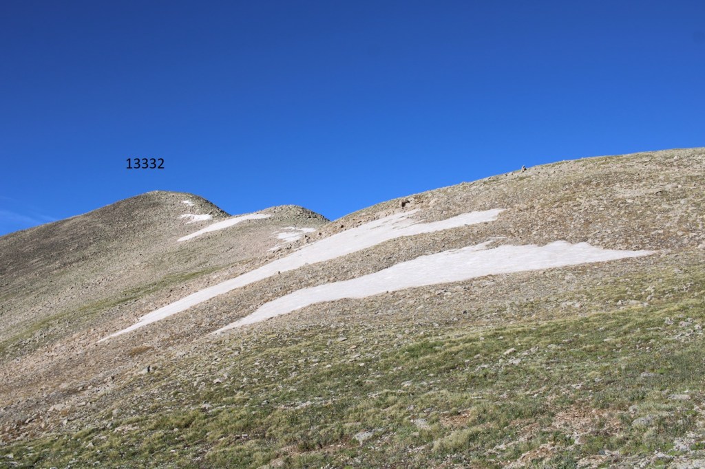
PT 13332

RT Length:  11.82 miles

Elevation Gain:  3452’

I parked about 3 miles past Cottonwood Lake, in a small parking area where 344 and 348 intersect. 

I was on the trail at 4:30am, following 348 south.  There is a lot of dispersed camping in this area. 

Almost immediately I came to Cottonwood Creek, which I was going to have to cross.  I put on my creek crossing shoes and rolled up my pants to my thighs.  My pants still got wet on the crossing, as the water was high.

Safely on the other side, I put my hiking shoes back on, and continued to follow the 4WD road as it switchbacked up the side of the mountain. There was one more (small) creek crossing, about half a mile away from Cottonwood Creek

I followed 348 all the way to treeline, for 5 miles

Someone had a rough night… blood and what looked like fur from an ungulate.

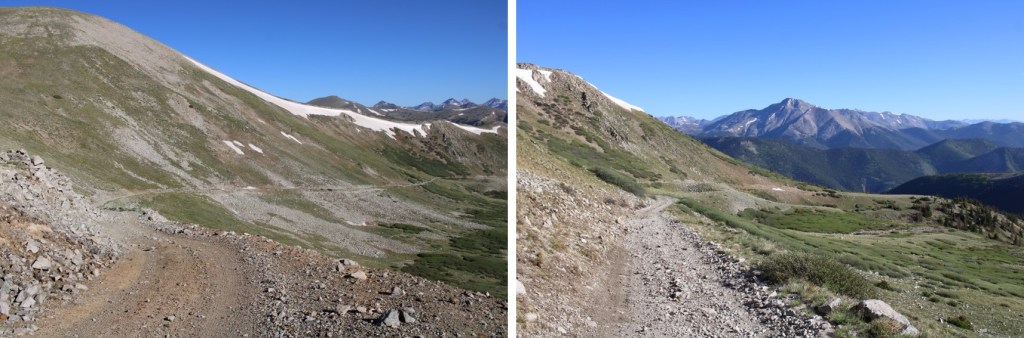
It was easy to follow the road all the way to the saddle

Just before the saddle I saw a game trail, and took it to the saddle instead, since it looked like a shortcut (it was)

Once on the saddle, I could see another trail that led to the ridge

I followed the trail to the ridge, where it abruptly stopped

I then turned and followed the ridge southwest. The terrain changed from tundra to class 2 rock hopping, but was very straightforward. 

I summited PT 13332 at 7:30am

13332:

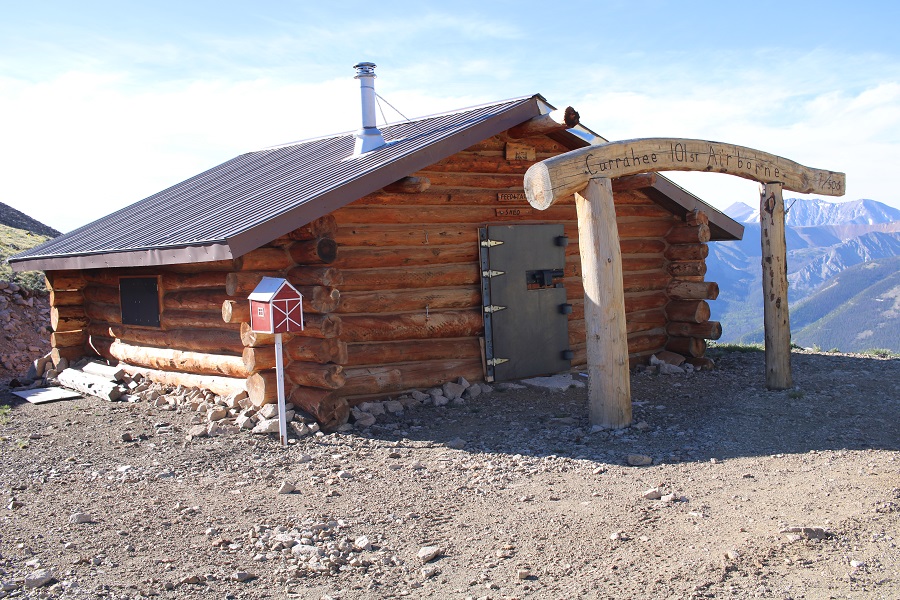
The summit register was shattered, and while I found a pen on the ground, the paper was long gone, so I left another register.  From the summit I could see a cabin on the road I took in.  I would have passed it if I’d stuck to the road, but I’d taken the side trail instead.  I planned to head down there and see what it was all about. 

I turned and retraced my steps back to the saddle

And then I aimed for the cabin below.

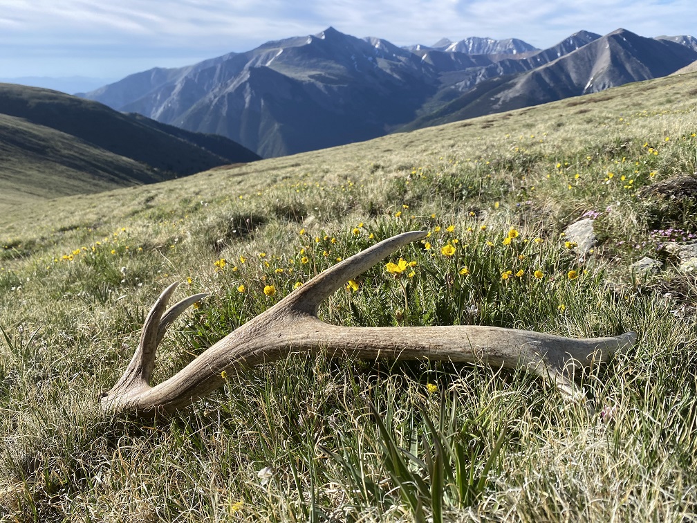
I was halfway there when I spotted an elk shed a few yards away.  I looked around for more antlers, as I know elk usually shed both within a few hundred yards of each other, but didn’t see any more. 

I continued on towards the cabin

For those of you wondering, this is what it looked like.

I then followed 348 north back to the trailhead

I put on my creek crossing shoes again to cross Cottonwood Creek, and kept them on for the short distance back to my truck.

I made it back to my truck at 9:45am, making this an 11.82 mile hike with 3452’ of elevation gain in 5 hours 15 minutes.  This was probably the easiest 13er I’ve done in years.  I didn’t see another person, or vehicle, all day. 

On to the next trailhead!

Booby Prize – 13,312 and PT 13090

RT Length: 11.08 miles

Elevation Gain: 3174’

Trailhead: Just before South Fork Lake Creek, where 391 and Trail 1466 meet.

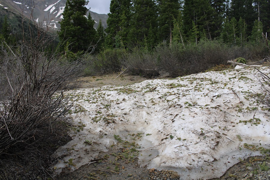
I drove in the night before, so I could start early the next morning.  The only problem?  I wasn’t able to drive all the way to the trailhead.  There was a small ice flow that still hadn’t melted, and it’s the middle of June!  It wasn’t very big, but so far no one has been able to cross it. 
It wasn’t a big deal, but I did have to back up for half a mile before I could find a place to turn around, which happened to be at a nice campsite at 11,000’, so I parked there

I was up and on the trail at 3:30am, hoping to avoid some of the cold, wet, rainy weather that was supposed to arrive today.  No such luck: It was raining when I left my truck, so I put on rain pants and a waterproof jacket and started following the road south.

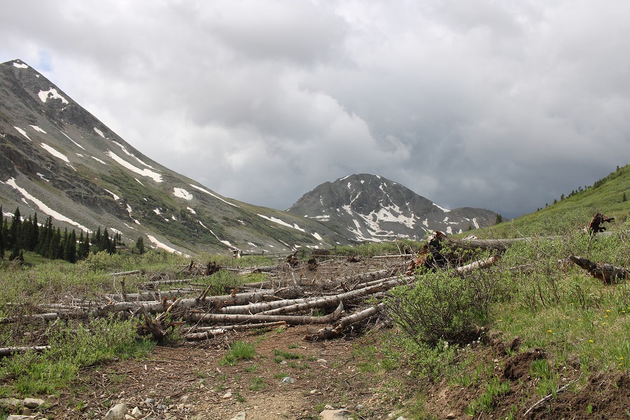
After hiking for .8 miles I made it to the trailhead.  Just before reaching the trailhead the road was covered in old avalanche debris. 

The trail starts to the left of the gate

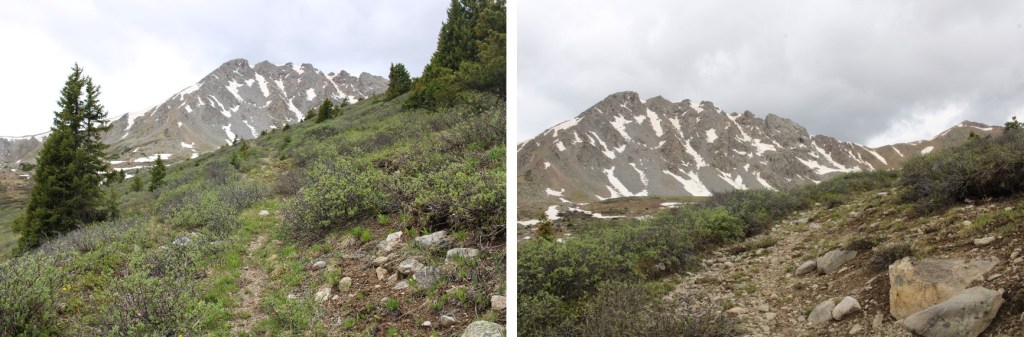
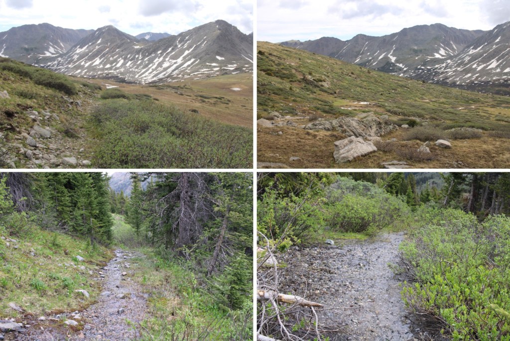
As I mentioned earlier, it was raining.  I followed a very wet, willow-filled trail all the way into the upper basin.  This trail is class 1, but a bit overgrown since it’s early in the hiking season.  It was also teeming with water, and bear tracks (although I did not see any bear scat).

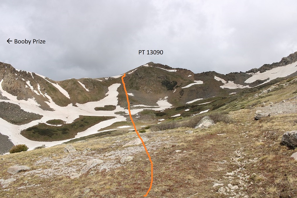
When I made it to the upper basin, I knew I wanted to gain the ridge.  I also knew, from yesterday’s experience, that I wanted to gain it from the left, and not the right. 

Note:  There is a game trail here that goes to the ridge, but most of it was covered in snow. I was only able to see it in bits and pieces on my way up and down. This is the route I took to the saddle

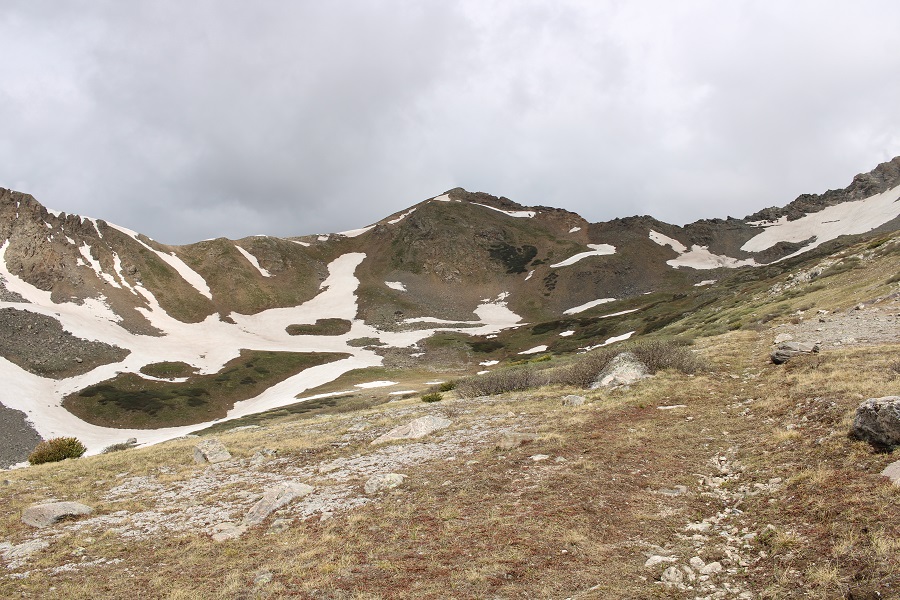
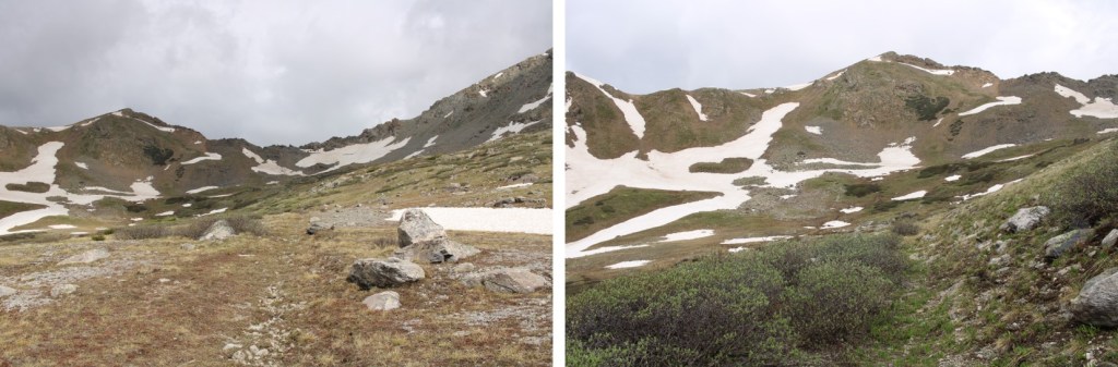
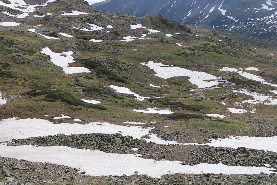
The basin was mush.  Not only was it raining, it was warm enough for the snow to thaw, so I was walking on 6 inches of water most of the time.  Here’s my route to the ridge

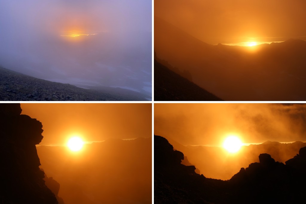
As I was gaining the ridge, the sun was rising.  It was a beautiful, misty morning

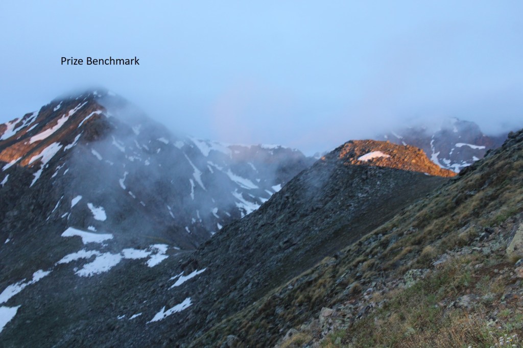
I gained the ridge, and headed over to Prize Benchmark, my first intended peak of the day.  As you can see, conditions weren’t ideal:

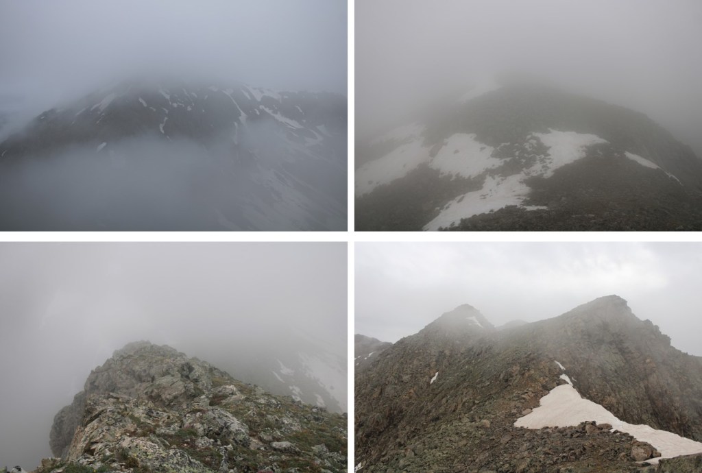
In fact, that was one of my better photos of the day.  The clouds kept coming in and out, obscuring my route. 

Eventually, I was in class 4-5 territory, and decided to call it and come back another day when I could see what I was doing.  I knew I was headed in the right direction, but the terrain didn’t feel safe.  I wanted to take the gully, and it was still full of unstable ice. 

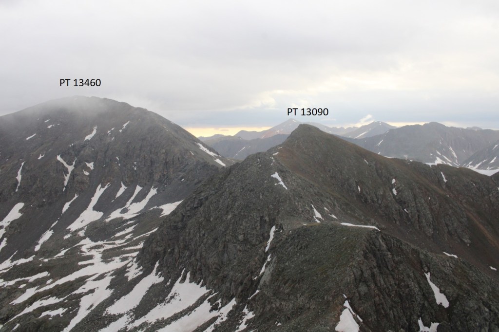
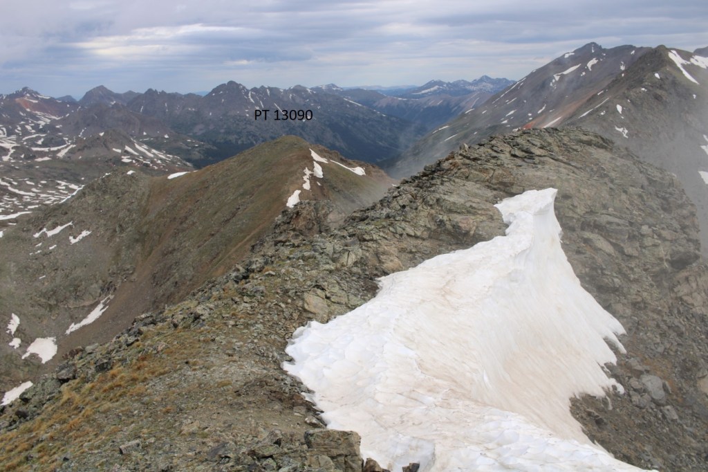
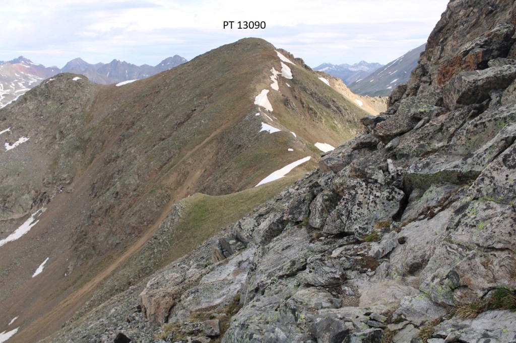
I downclimbed, and headed back to PT 13090.  Even though it’s not ranked, I summited it, just because I was there

This was an easy ‘summit’

PT 13090:

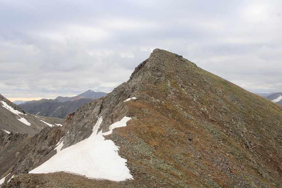
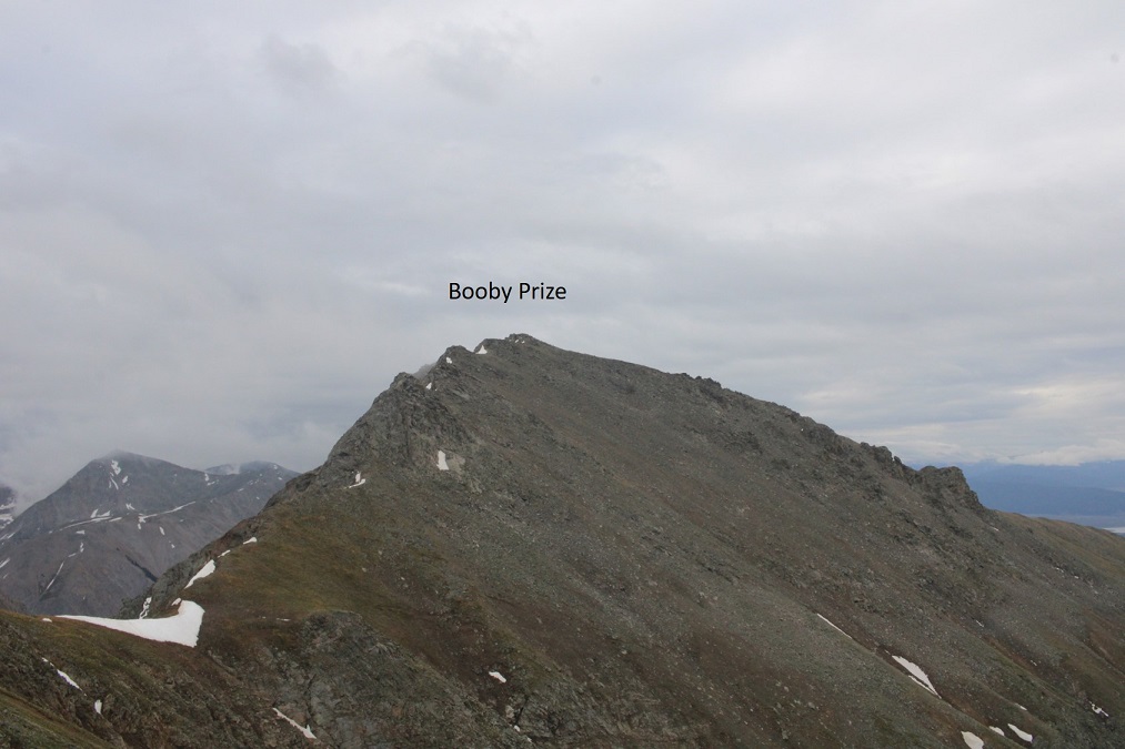
I turned right, and headed southeast towards Booby Prize

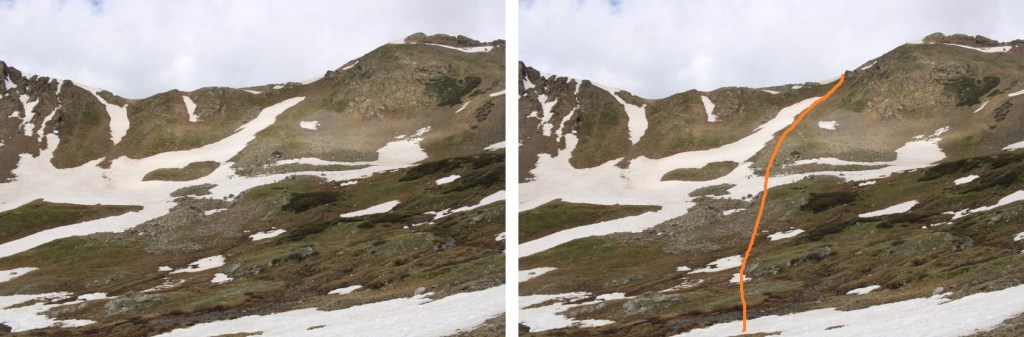
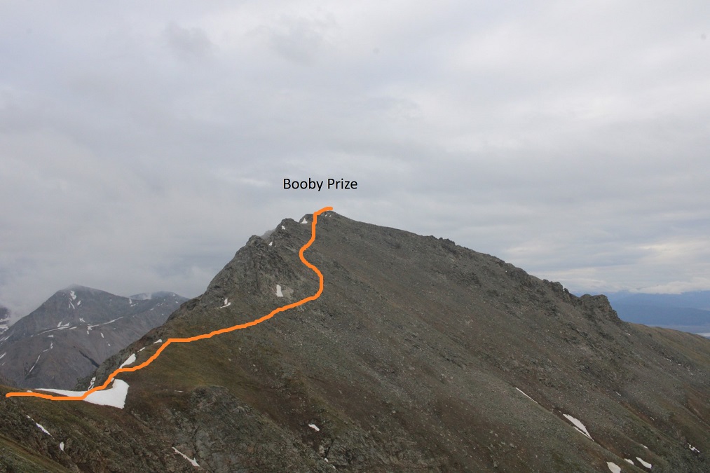
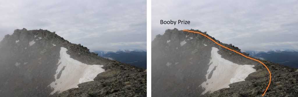
Here’s the overall route I took, avoiding the rock slabs and snow.  This was all class 2, with some loose scree/rocks to navigate

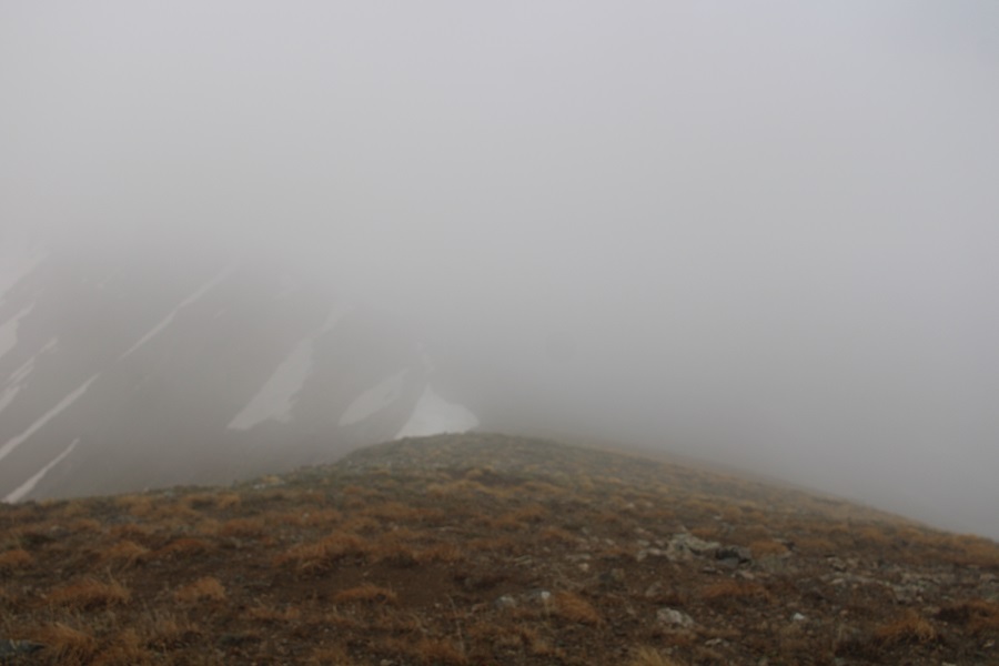
The clouds picked up again, obscuring my view, but luckily, this was all class 2

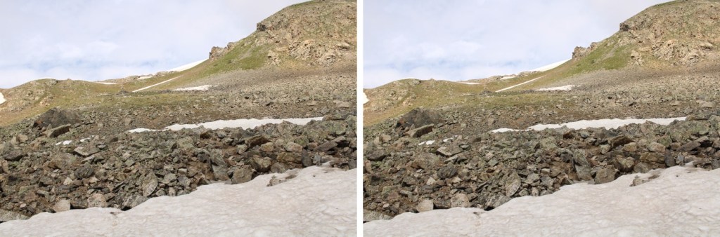
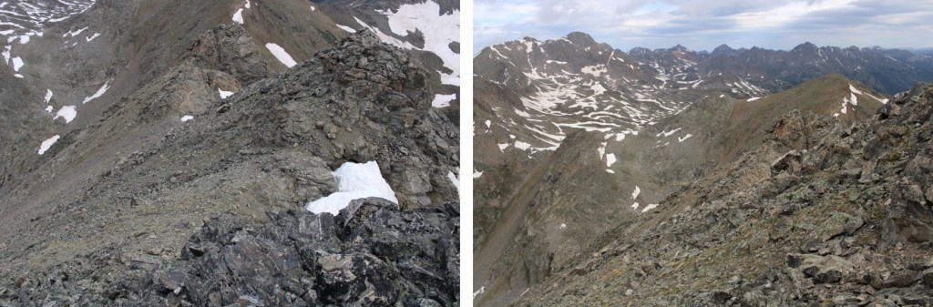
Here are some step by step pictures

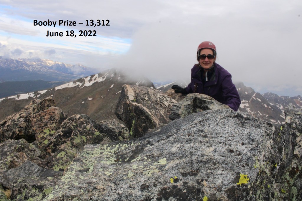
I summited Booby Prize at 8:10am

Booby Prize:

Nasty weather was predicted for the day, so I decided to re-trace my steps and head back to the PT 13090/Booby Prize saddle

Back on the saddle, I could see the game trail that led down, but it also went right through a large patch of ice, so I went a little further up the saddle to find a snow-free route.

Here’s my route back to the trail

The route down was obvious

And the trail was easy to follow, if wet, back to my truck

I made it back to my truck at 10:30am, making this a 11.08 mile hike with 3174’ of elevation gain in 7 hours.

On to the next trailhead!