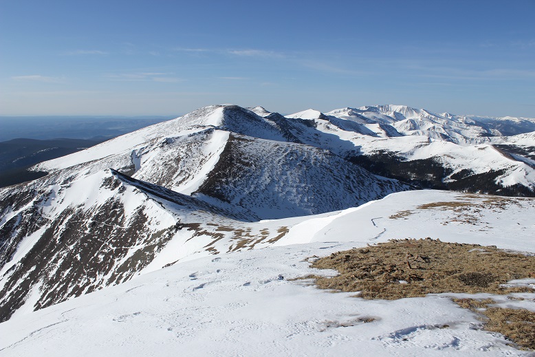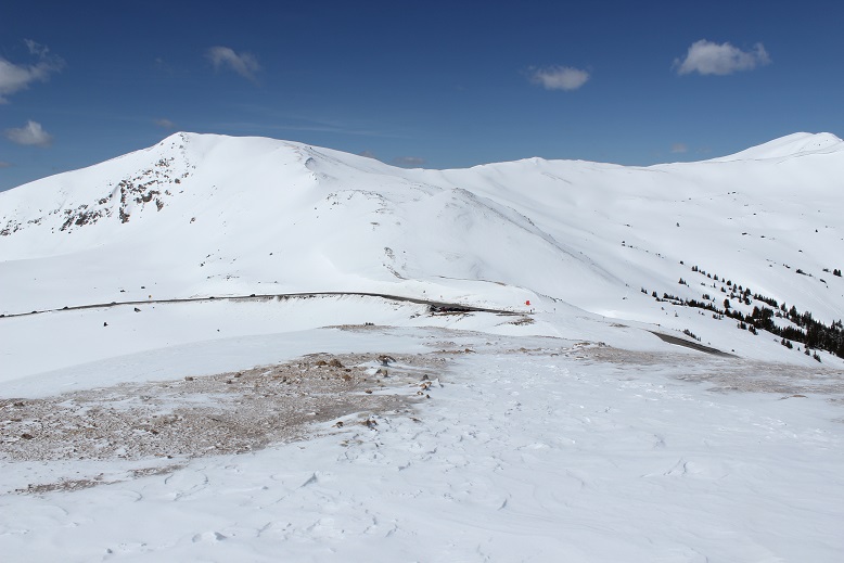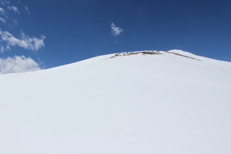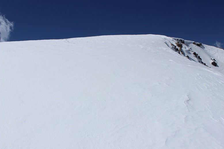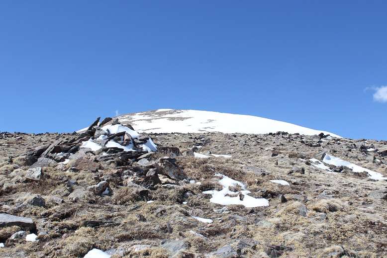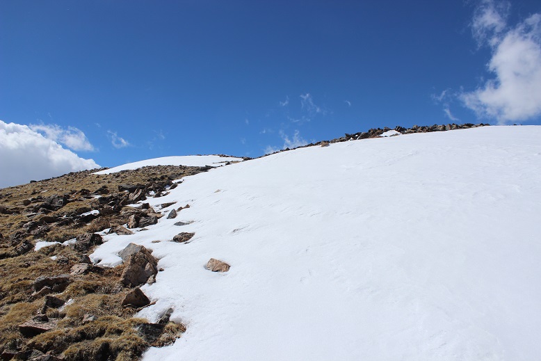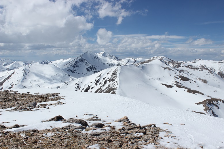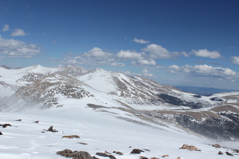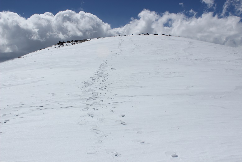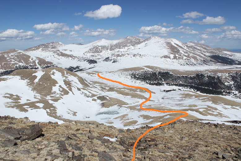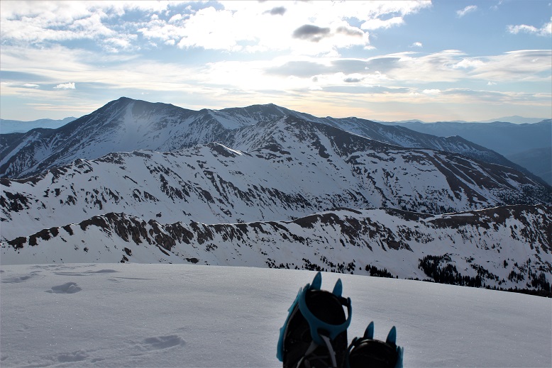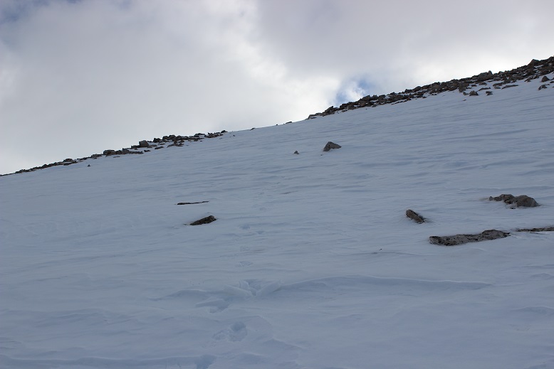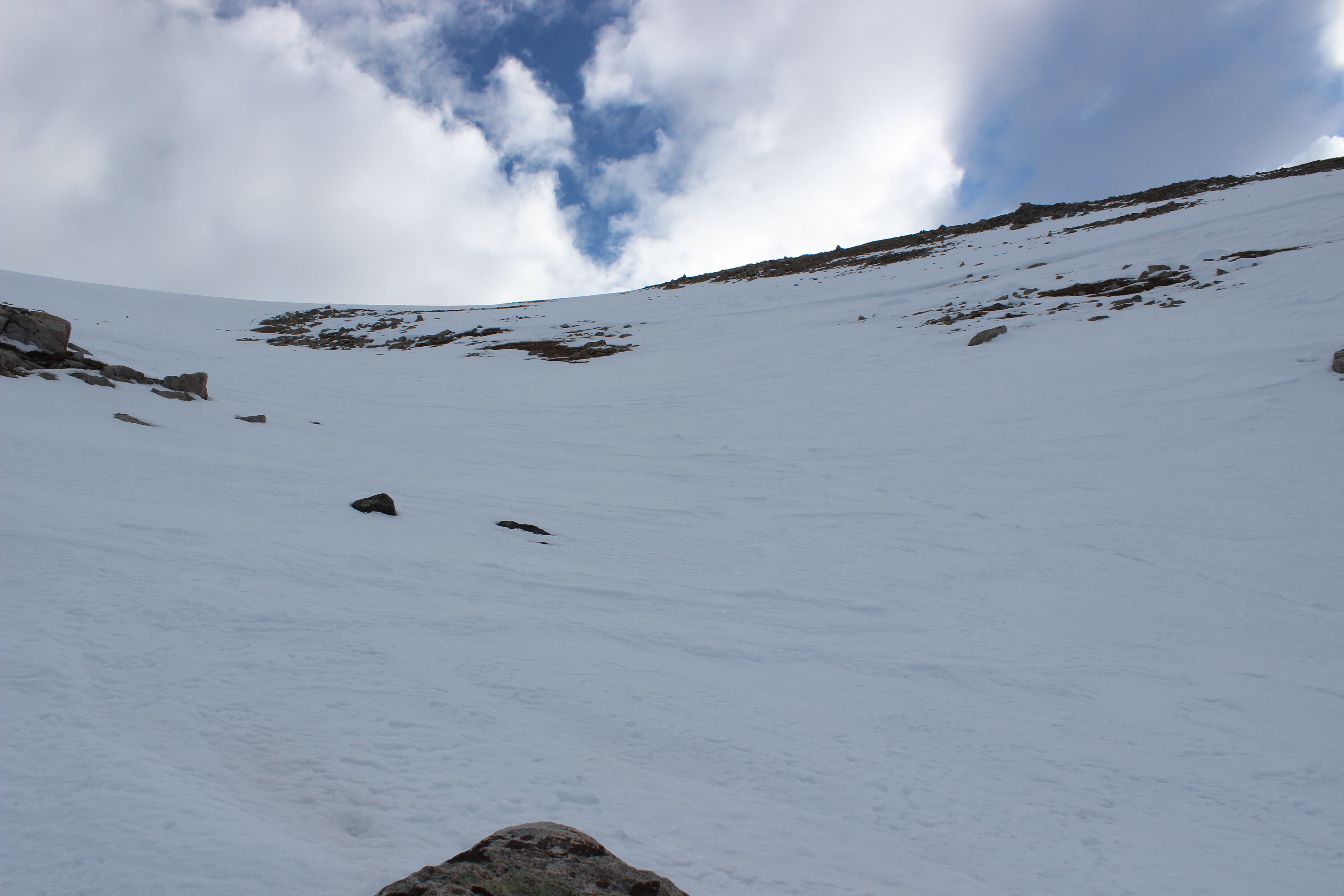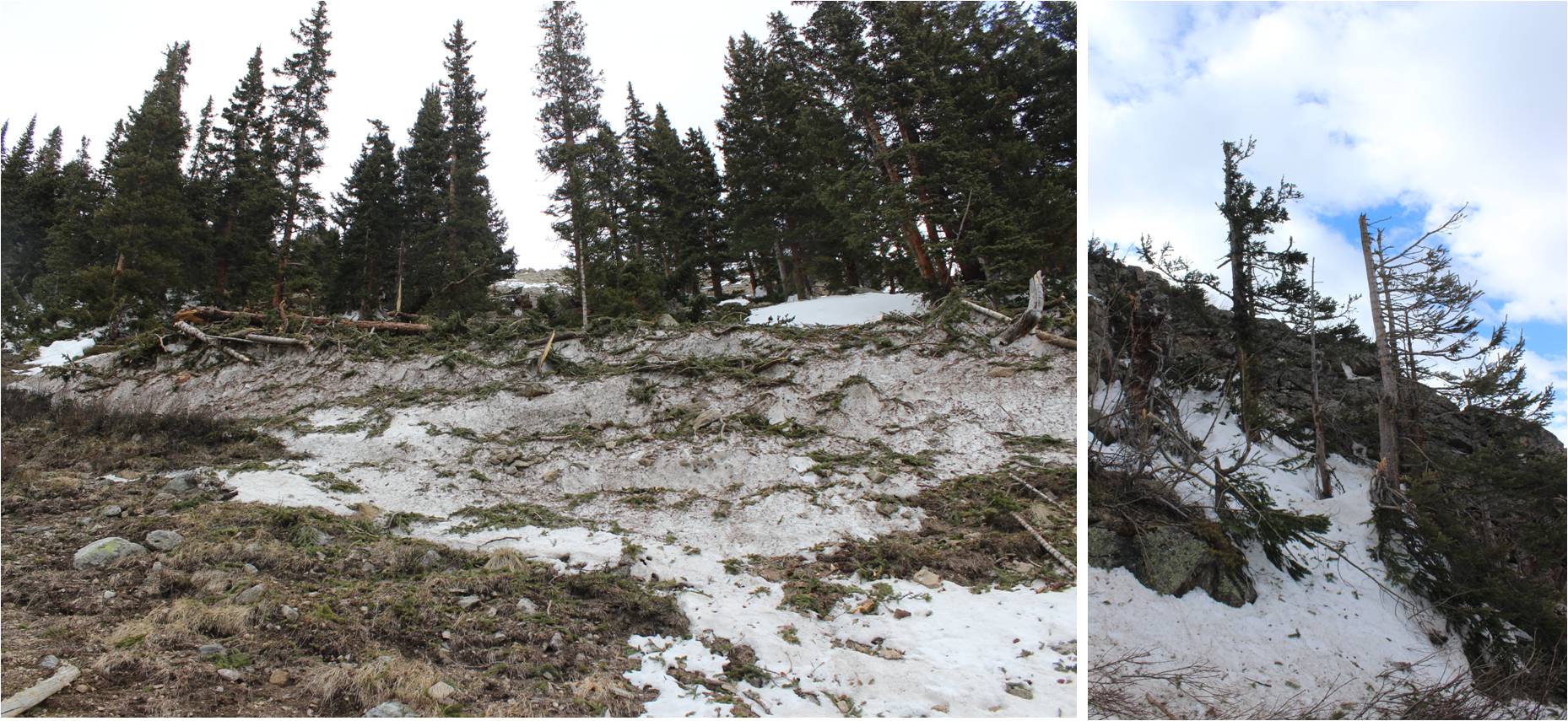
Mt Belford 14,197 via Missouri Gulch and Elkhead pass

1

RT Length: 9.5 miles

Elevation Gain: 4536’

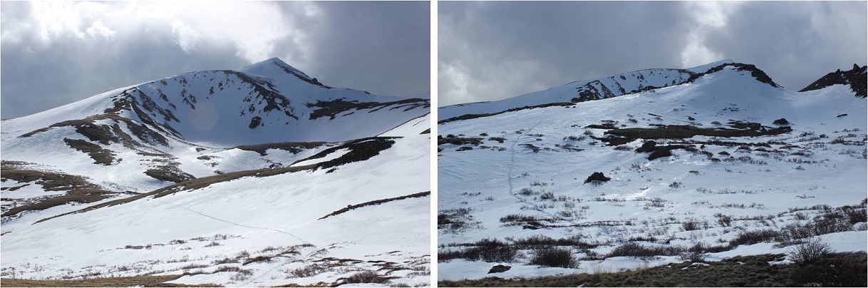
I’ve been eyeing Emerald Peak for a while now, doing research and looking at feasibility for summiting this time of year with the heavier than normal snowpack. Unfortunately I wasn’t able to find much information (ok, any) for summiting with snow.  I did see a report from June of one year saying Elkhead Pass wasn’t passable, but it didn’t explain why it wasn’t passable.

I looked at a topo map and studied the slope angle of Elkhead Pass:  it didn’t look that steep.  I know a lack of reports for peaks over specific months usually means there’s a reason no one has summited during that time of year, but I wanted specifics.  I decided to be the beta and go out and see just why Elkhead Pass isn’t passable in winter.  And hey, maybe it was?  Maybe it was passable with more snow?

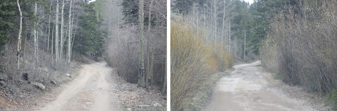
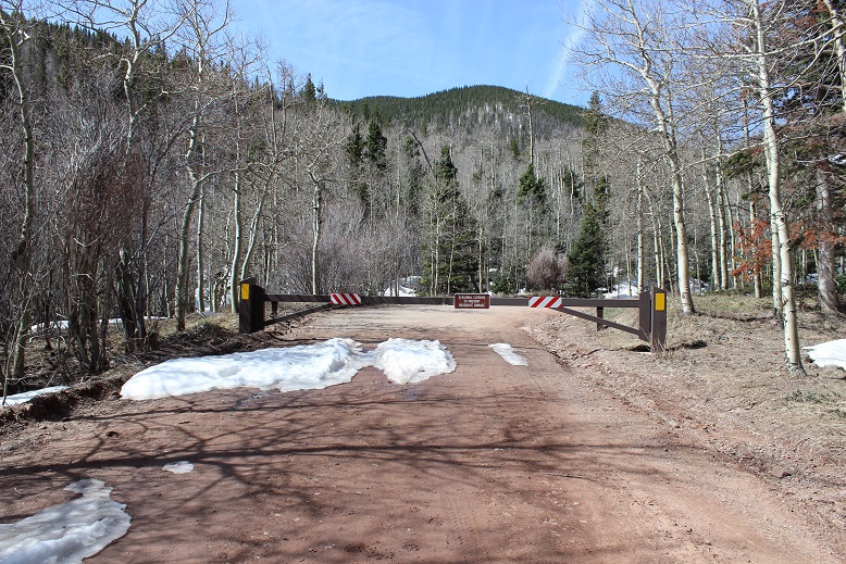
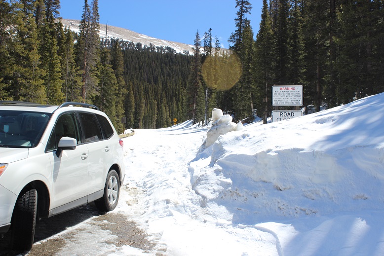
The drive in to Missouri Gulch was easy on a well maintained 2WD road.

2

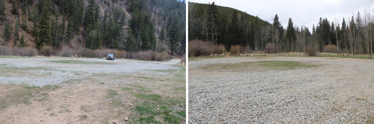
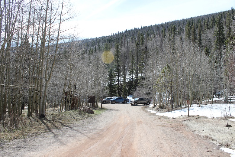
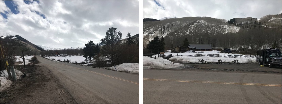
I arrived at 2:45am, surprised to be the only vehicle in the parking lot. Hmmm… this is a pretty popular 14er trailhead.  This didn’t make much sense, especially for a Sunday.   Maybe I was just the early bird. (Nope, my truck was still the only one in the parking lot when I got back?)

3

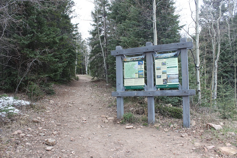
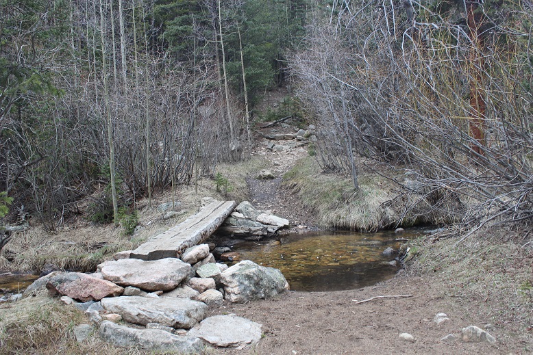
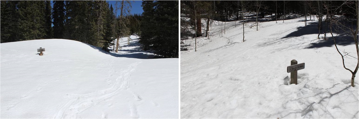
The trail starts at the south end of the parking lot. You go left at the signs, cross a bridge and turn left to follow the class 1 trail up the mountain.

4

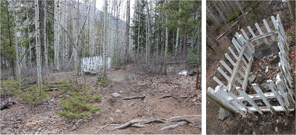
There’s immediate elevation gain that doesn’t quit. I rather enjoy this hike (this was my third time here). It’s always a little creepy hiking in the dark past the baby grave though.  The worst part is I know it’s there, but never actually see it in the dark because it’s just a little ways off the road.  So I know I’m passing it somewhere, but never actually know if I’ve passed it or not. (Anyone ever figure out why it’s so far away from the other graves?)
5

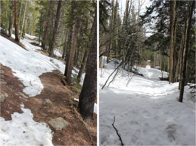
The trail conditions varied from bare to a couple feet of snow, but there’d been two hard freezes the past couple of nights so I didn’t need traction.
6

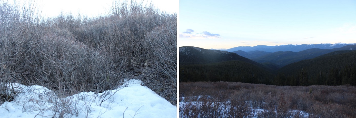
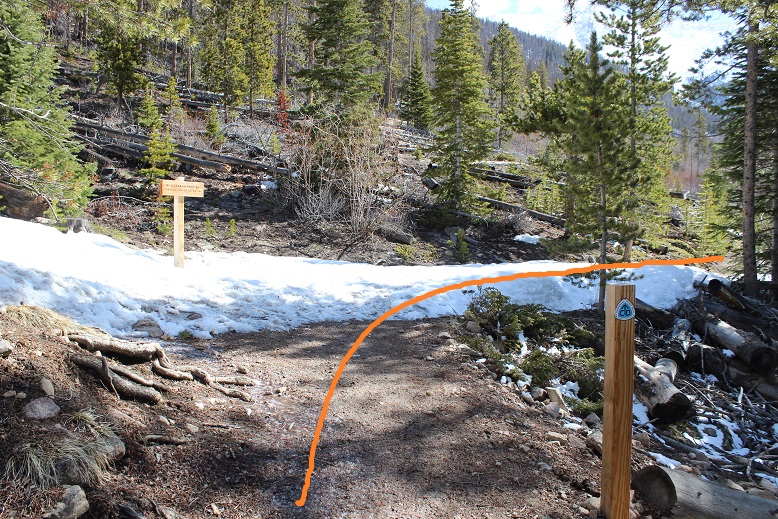
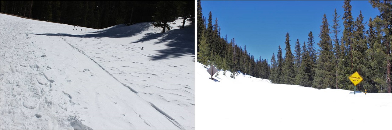
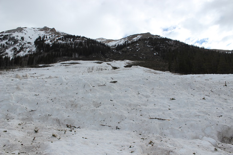
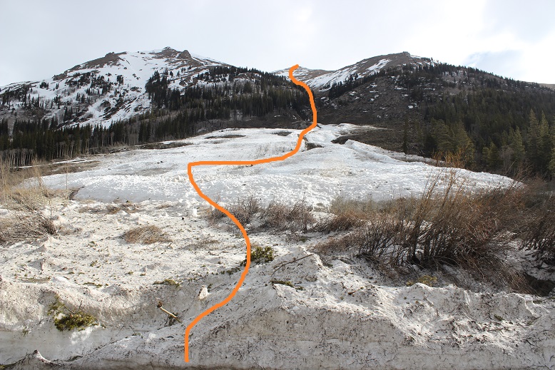
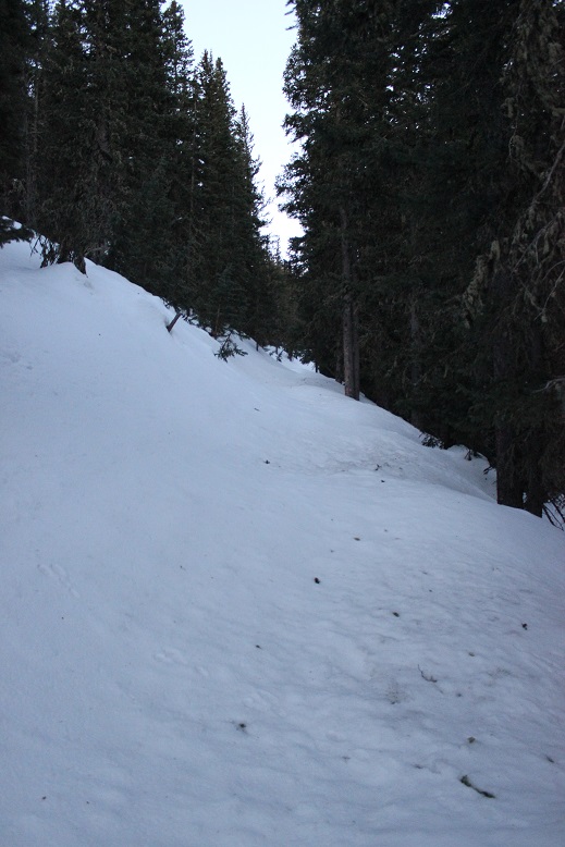
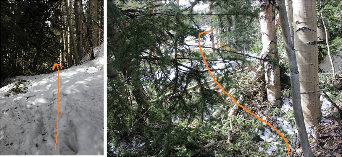
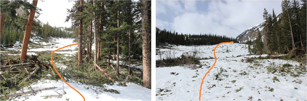
About half a mile before the cabin I came to the avalanche area. There was an avalanche here a few weeks ago, but I’d heard it was passable.  It was, even in the dark.  The beginning required a little creativity, but once I was in the avalanche area there was a clear path to follow that had been made by other hikers.
7

If it doesn’t snow again I’m pretty sure this will be the new route.
8

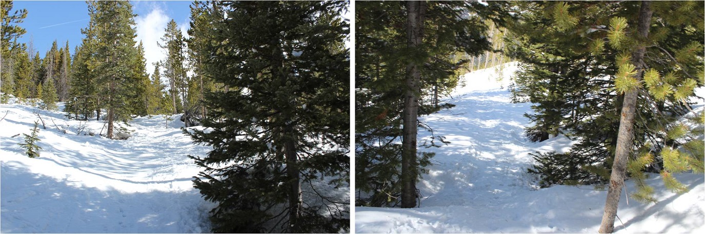
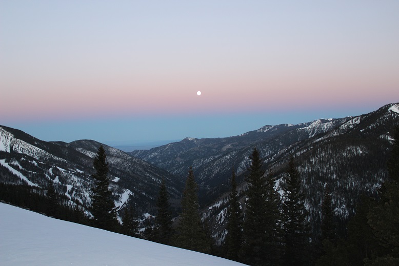
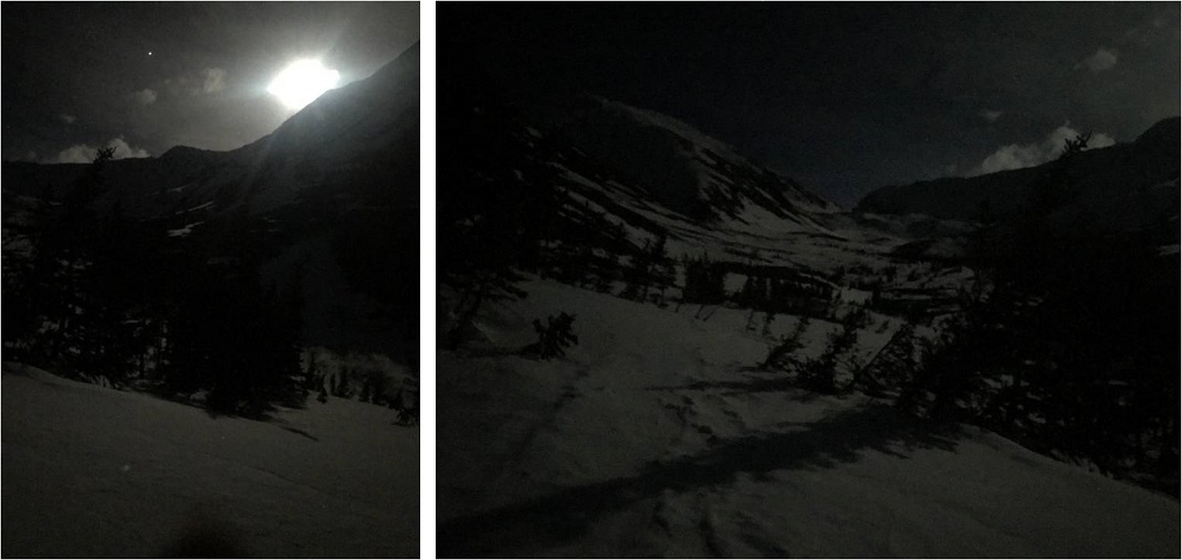
This new route picks up with the old one just before the cabin. Here the snow picked up as well and I put on my snowshoes.  There was a full moon this morning, which really made the gulch come alive.
9

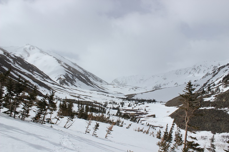
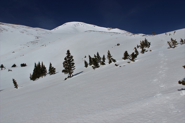
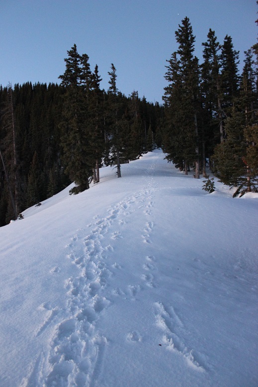
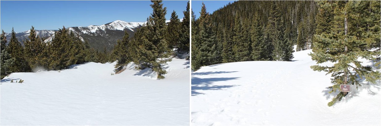
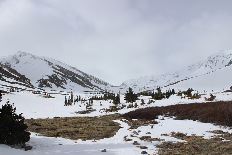
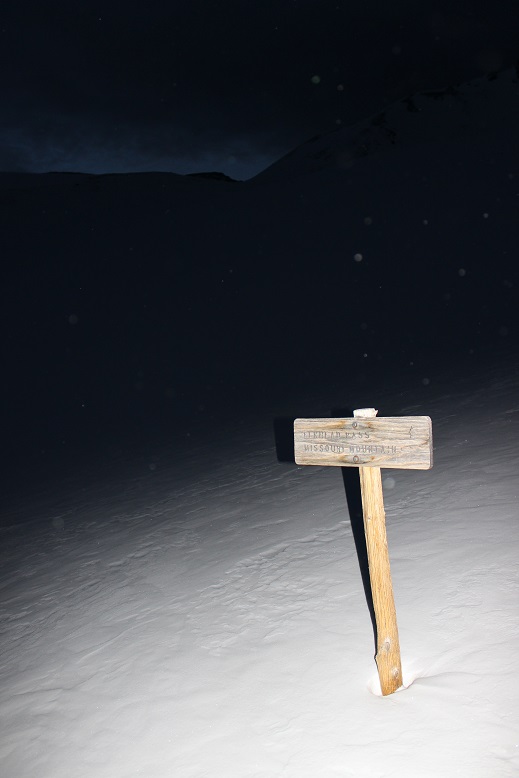
I followed the basin on my own path as the trail was covered in snow (at least most of the time). I made it to the junction for Elkhead Pass and Missouri Mountain and turned left (east).
10

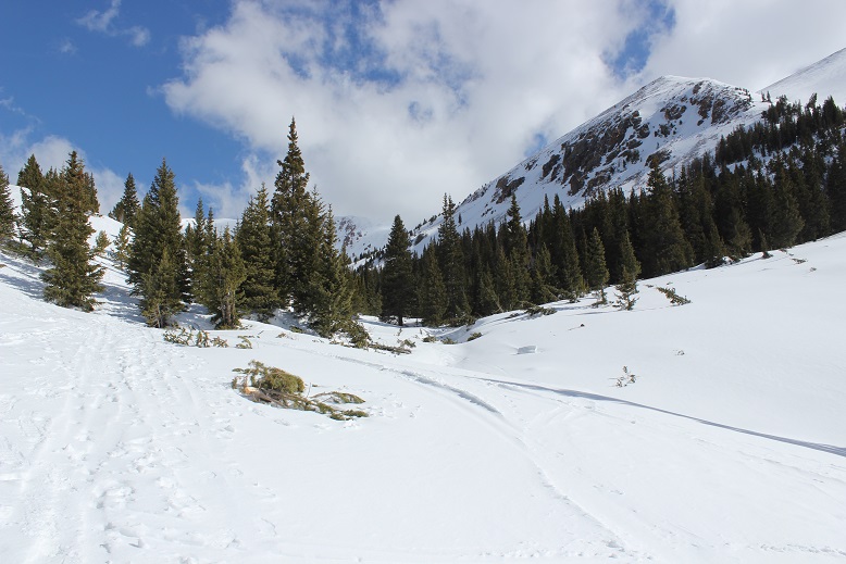
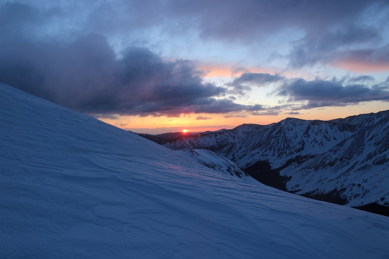
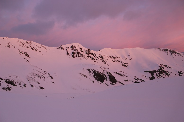
I started hearing and seeing ptarmigans as the sun began to rise (here’s looking back at the way I’d hiked in)
11

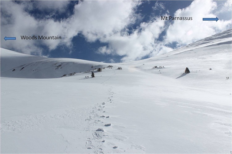
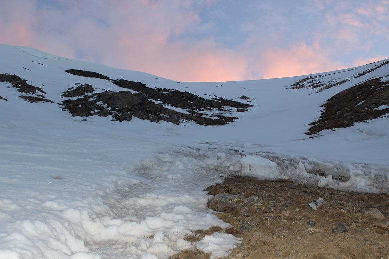
I followed the basin to Elkhead Pass, which was surprisingly easy: I’d expected more of a challenge.

12

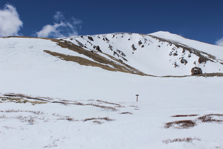
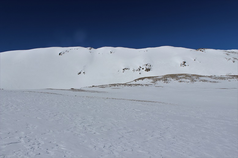
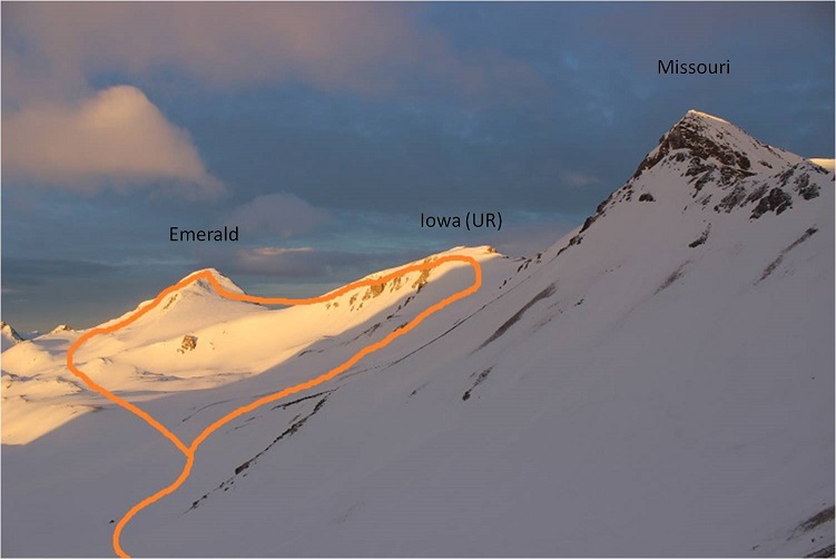
At this point I was beginning to think I was actually going to summit Emerald today. I took a closer look at the Missouri Basin (not the gulch, which I had just come from) and planned out my intended route.  I was trying to decide if I should head over to Iowa or Emerald first, but from this distance I couldn’t tell what the snow conditions were on the ground, so I decided I’d decide when I got there.
13

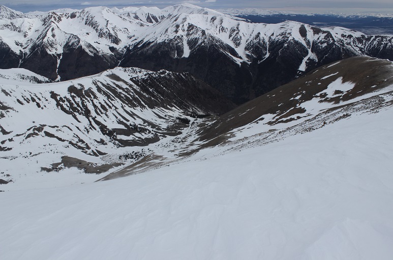
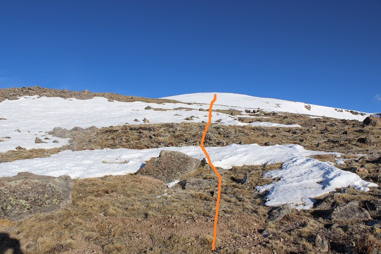
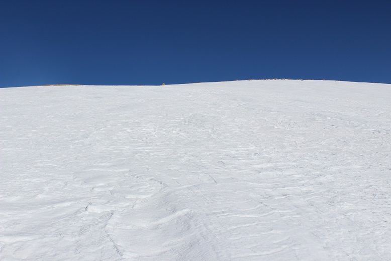
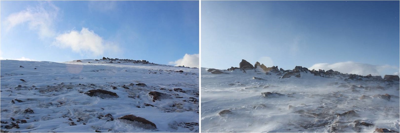
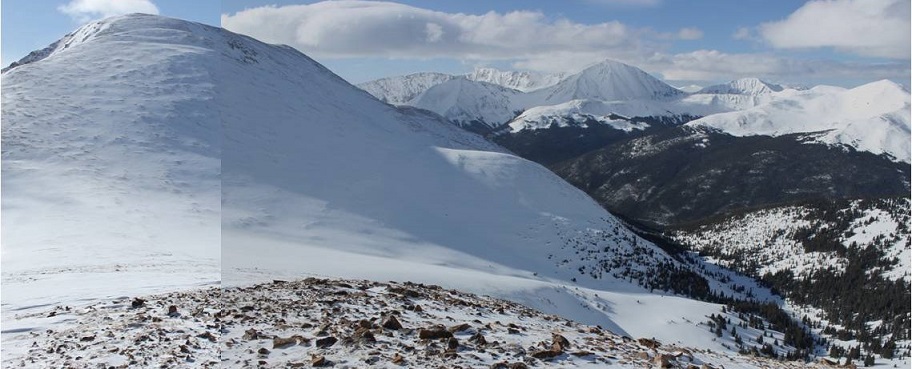
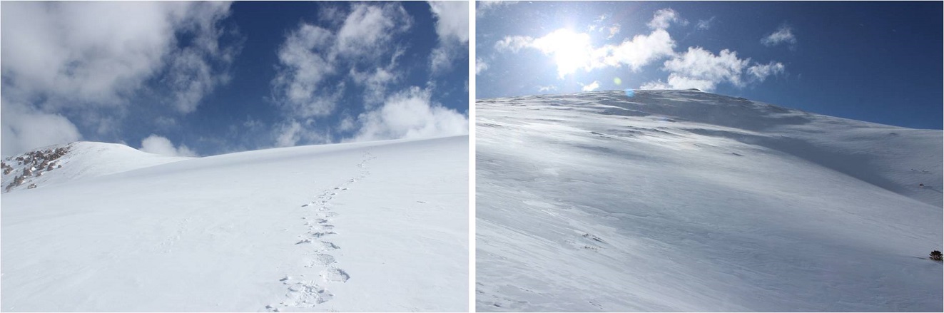
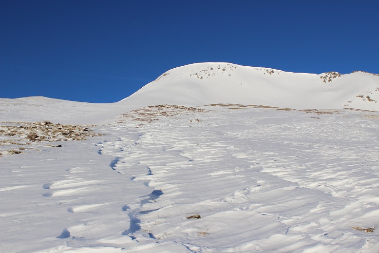
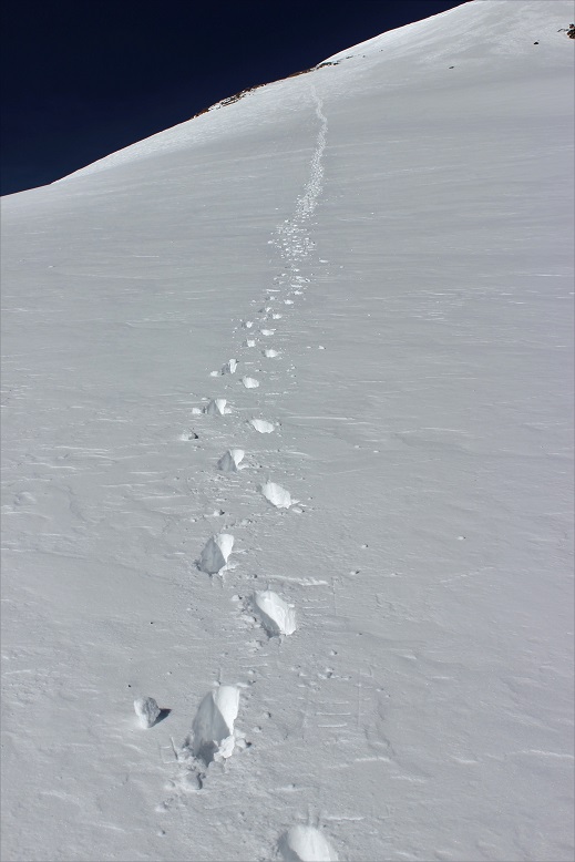
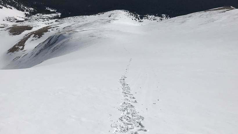
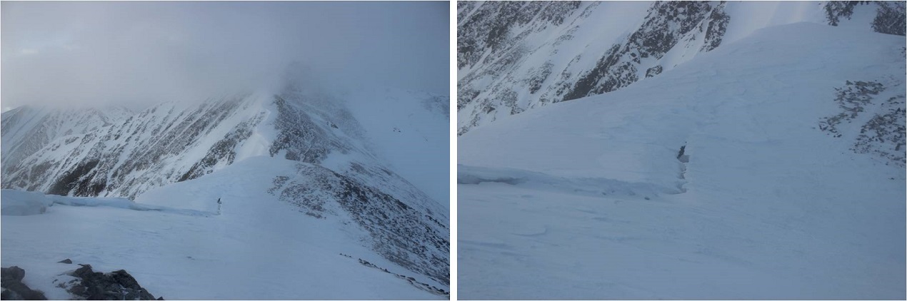
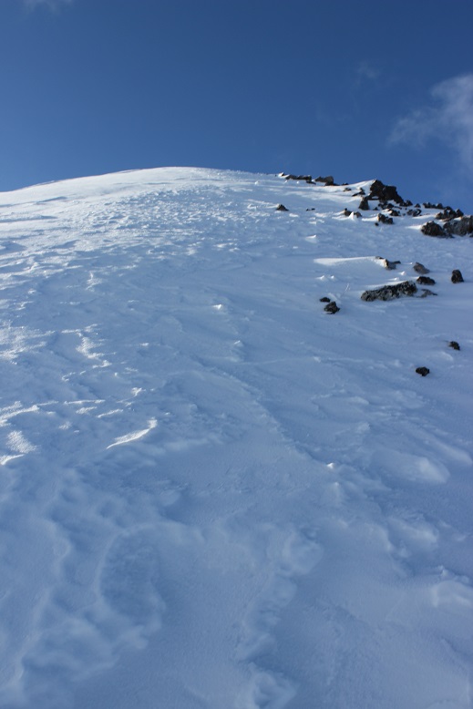
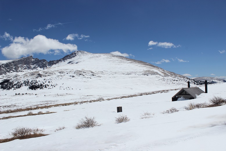
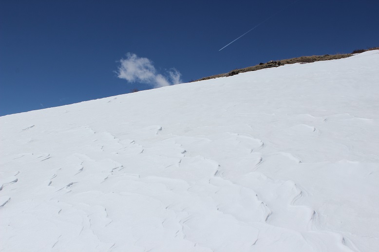
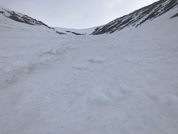
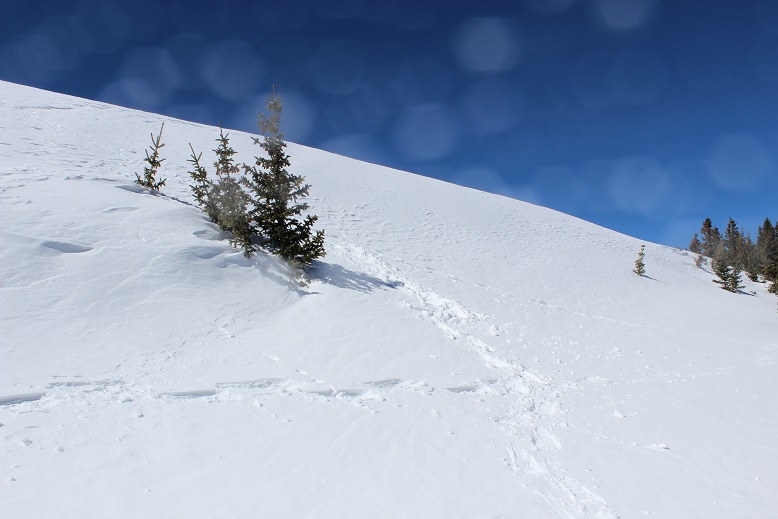
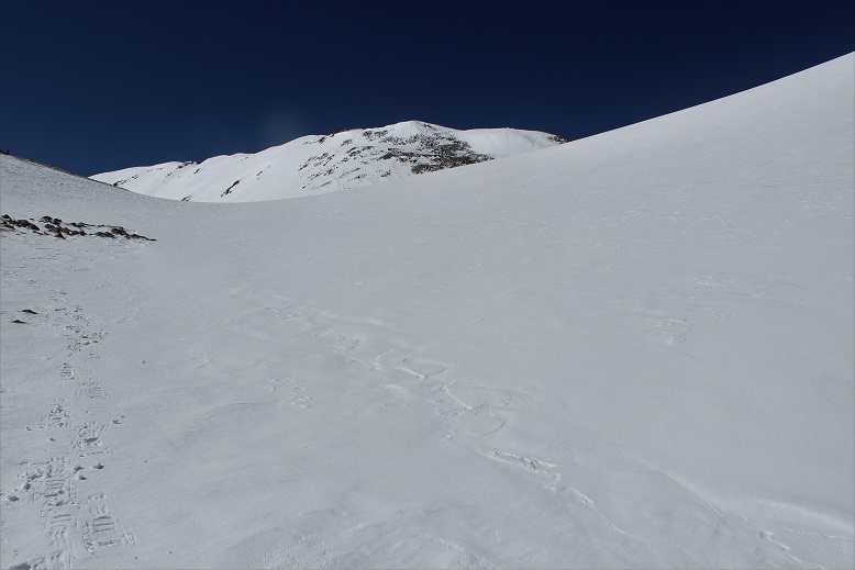
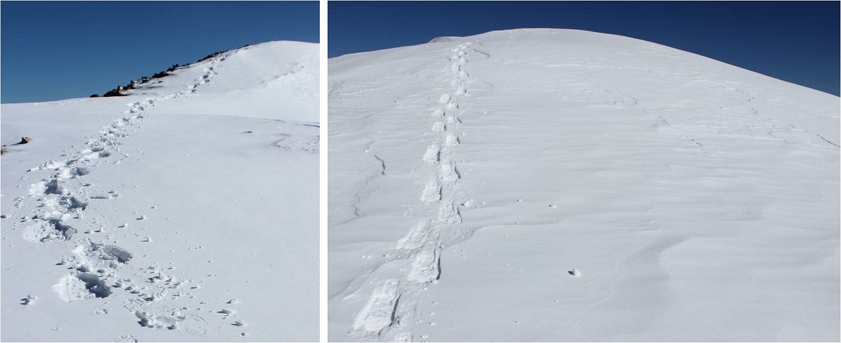
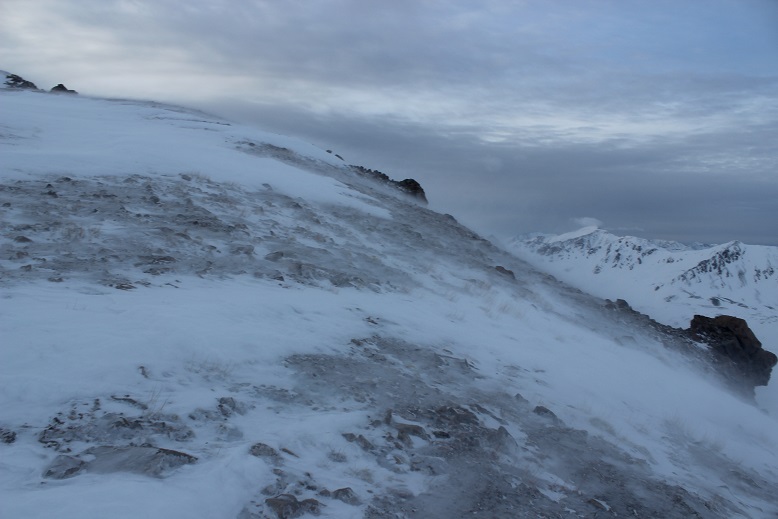
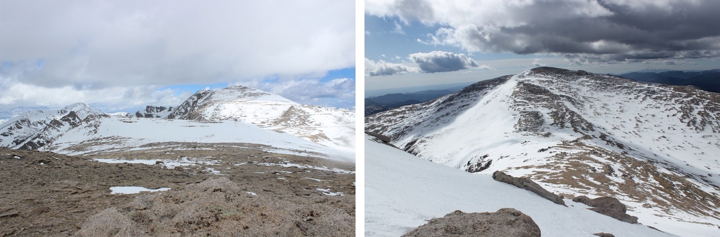
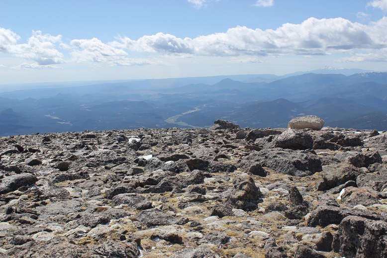
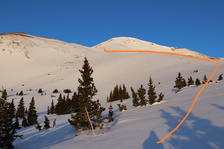
I started heading down Elkhead pass and immediately turned around. Snowshoes weren’t going to do it: this was steeper than it looked!  Ok, crampons on, time to try again.  I could see where I needed to go, but I just couldn’t get there.  The pass was a sieve for wind:  Intense wind that didn’t often let up.  On top of that the ground was slick like a frozen waterfall (probably due to warming during the day and freezing at night) but the ice was covered in about 3 inches of soft snow deposited by the wind.  It made for an awkward small-cornice-like structure that seemed to extend all the way down the pass.  And the drop down was serious!  This picture shows the easy part of the decent (camera was put away for the more difficult parts, sorry!)

14

I made it past the ice covered rocks to the snow covered ice and retreated up, back the way I’d come.
15

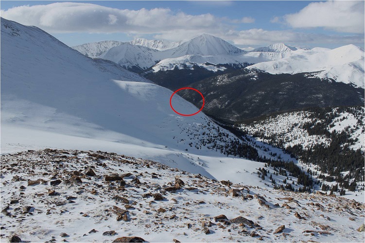
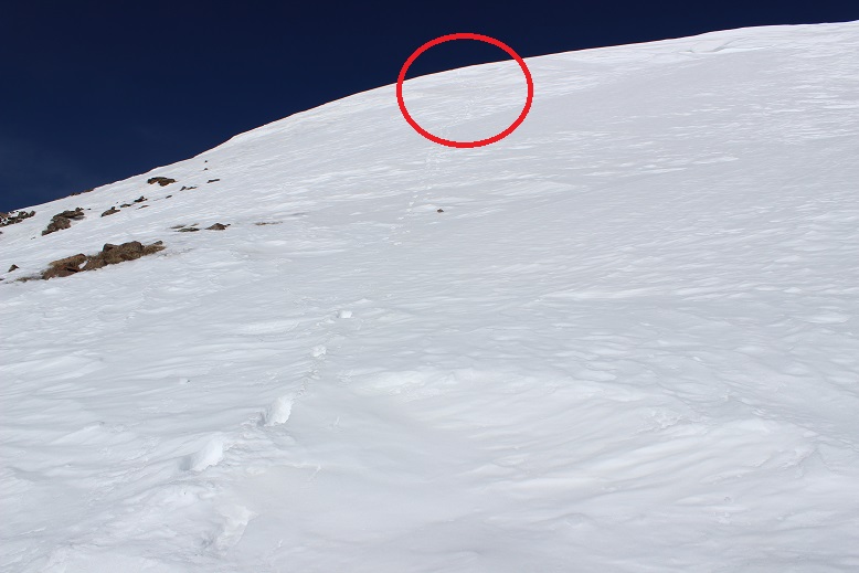
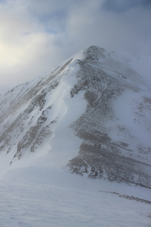
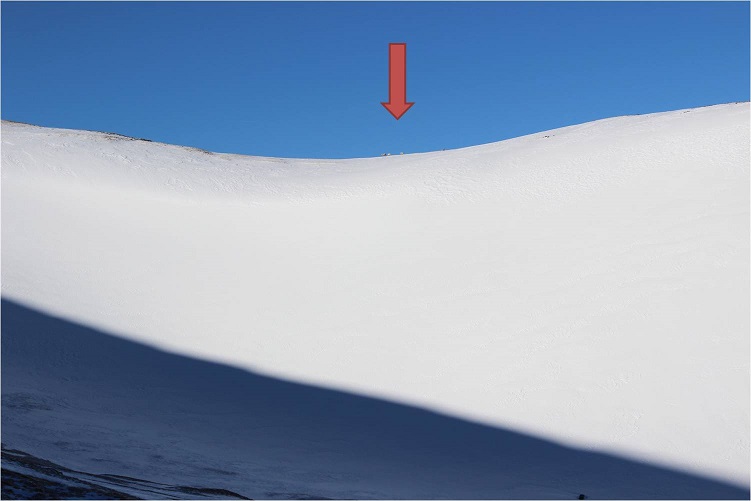
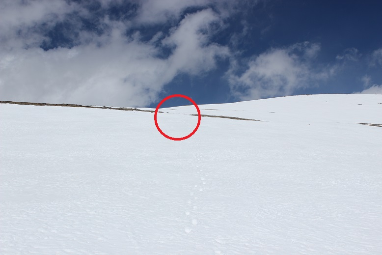
At the top of the pass I once again tried to look for an easier way down, but the snow blanketed everything and I couldn’t tell where the icy-snow pass ended and the basin-snow began. I also couldn’t truly get a feel for how steep anything was just by looking.  I tried again, made it about 30 feet down, and once again felt unsafe as I couldn’t get a good hold with my crampons.  A big gust of wind picked up and I hugged the side of the pass for a good minute or so waiting for it to stop, and then I used my ice axe to climb back to the top of the pass.  Seriously, it didn’t look this steep on the topo map!  I made it to the red circle twice.

16 Elkhead Pass

This was frustrating. Climbing up was no problem at all (I’d done it twice already), but the down climb wasn’t happening.  I felt confident someone could make it over this pass; someone with more skills than I or maybe a backcountry skier (it looked skiable, but I don’t backcountry ski, so I’m not sure).  Today I was not going to make it over this pass.  The problem here was, due to the wind, there wasn’t enough snow, just ice.  In fact, I didn’t like the look of it at all, and will most likely attempt Emerald next time from the Rockdale Trailhead.  At this point, I’d rather do Little Bear again than Elkhead Pass (seriously, summer or winter, I felt safer on Little Bear, and that’s saying something!).

Enough complaining. I was here, what did I do now?  I’d taken a good look at Missouri Mountain on my way in, and that was a big nope.  I turned around and immediately decided to hike up Belford from where I was.
17

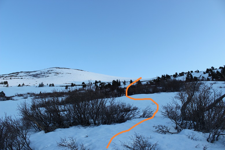
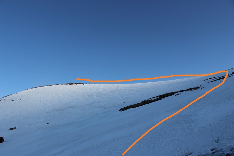
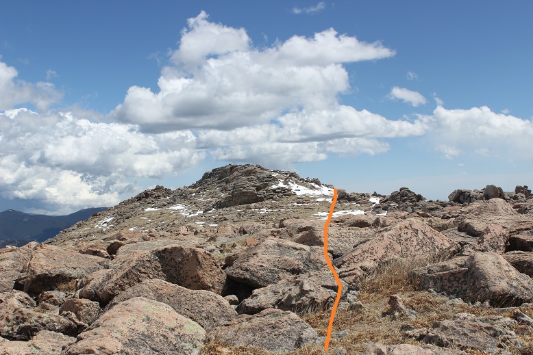
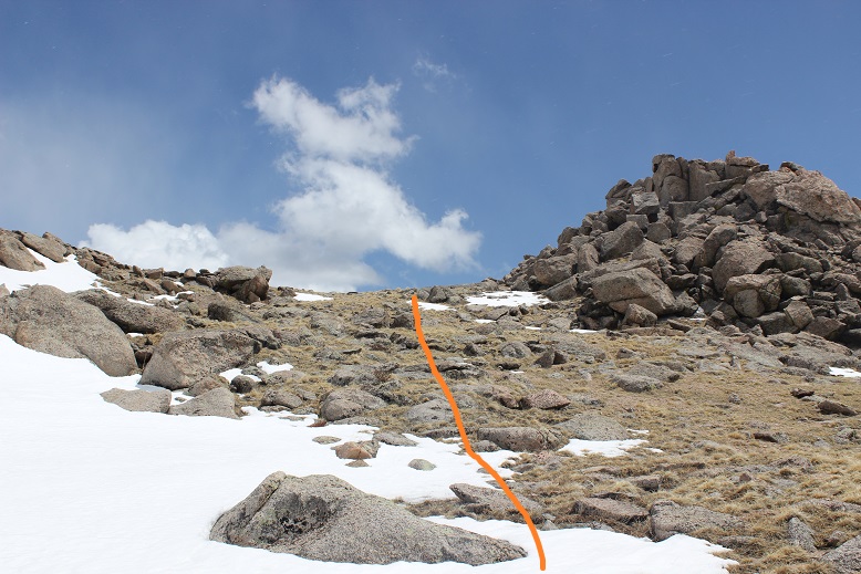
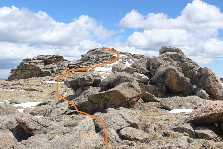
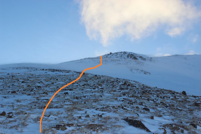
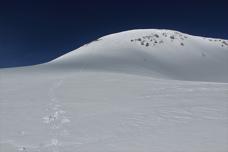
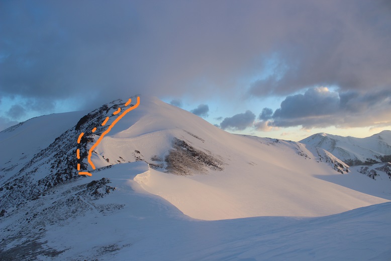
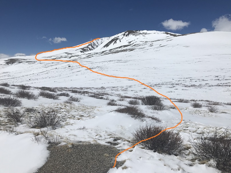
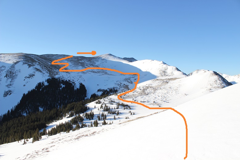
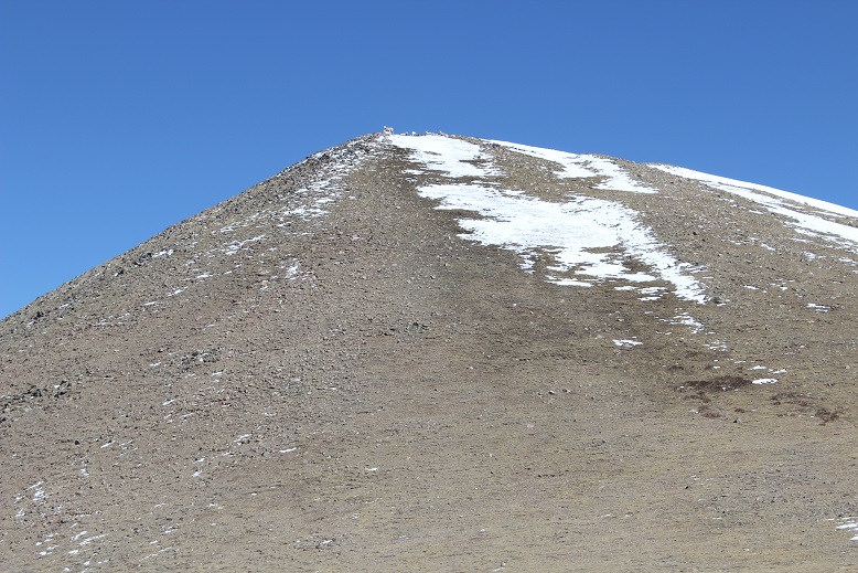
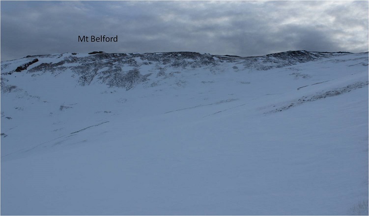
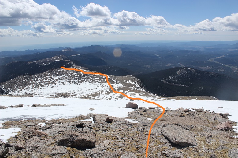
No, I didn’t have a route description or instructions, but I’d summited Belford before and knew it was just… well, right there. It looked very doable, so I decided to go for it.  Here’s the route I took:

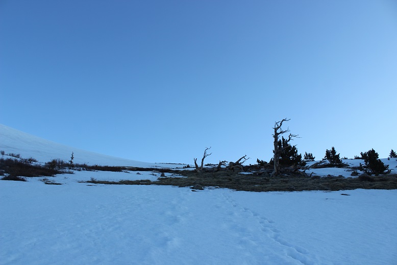
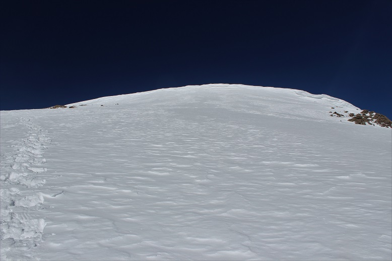
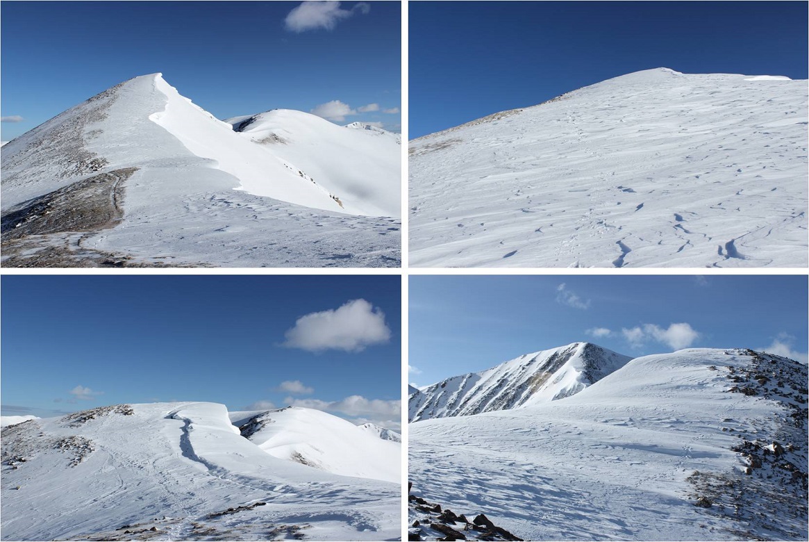
I kept heading east to the top of the ridge (the wind wasn’t stopping)

18

19

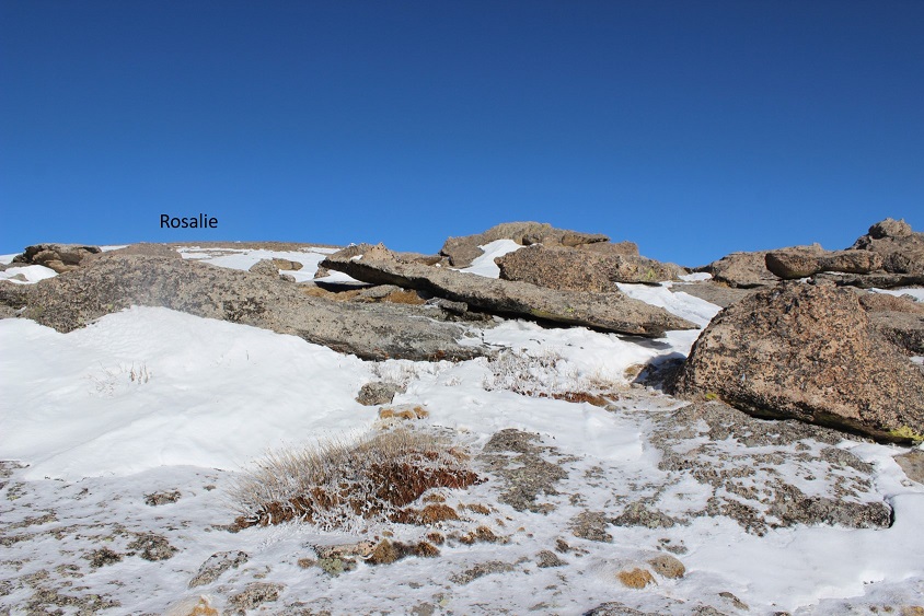
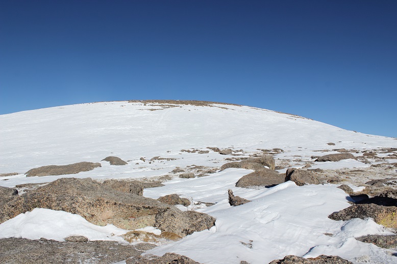
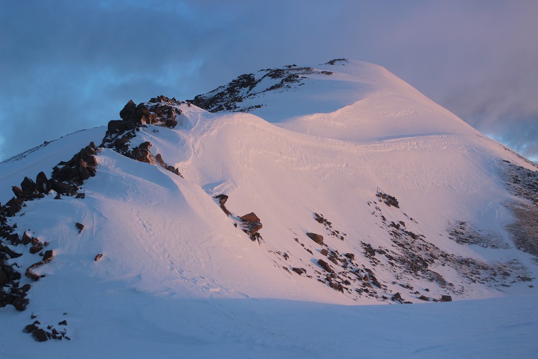
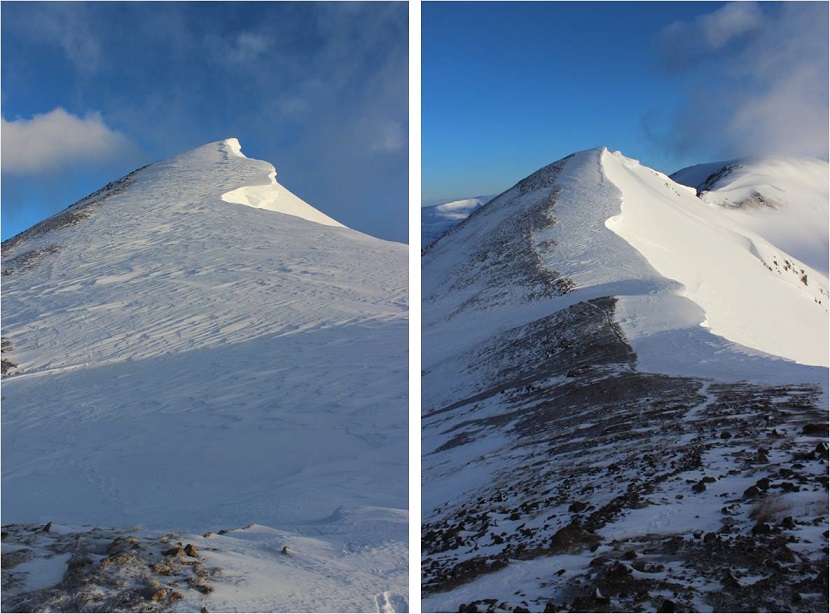
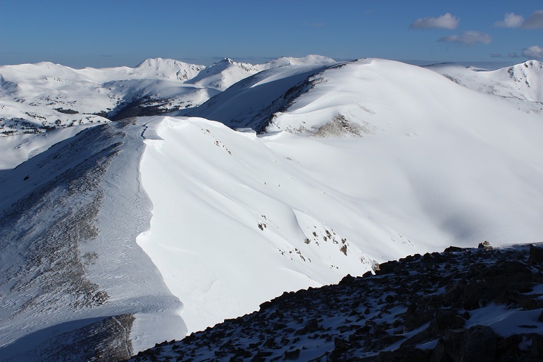
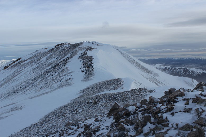
And then followed the ridge north towards the summit of Belford
20

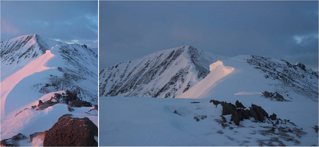
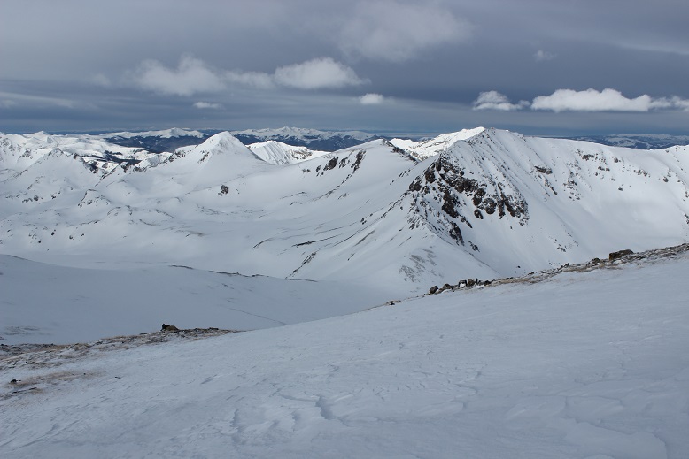
I turned and looked back on Elkhead Pass: It really didn’t look that difficult, did it?  (Sigh)
21

The ridge had areas of deep snow that I much prefer to icy rocks, so I put on my snowshoes and headed north

Halfway along the ridge I paused to take a look at Oxford.

24

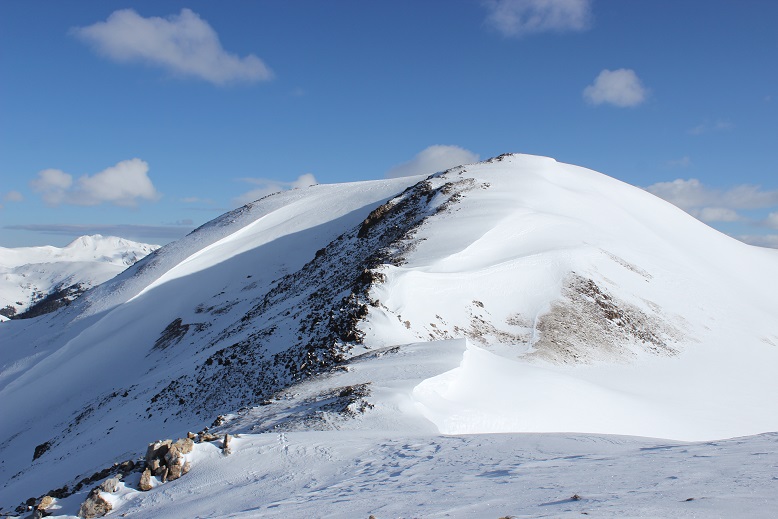
It looked like fun, but there was a storm coming in and I didn’t want to get stuck in it all the way over there, so I waved and kept heading towards the summit of Belford.
25

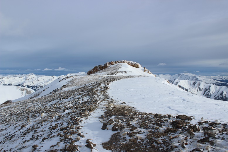
I was a little worried about the last bit of climbing, but once I was there it wasn’t so bad

26

I summited to amazing views and intense (intense!) wind

27

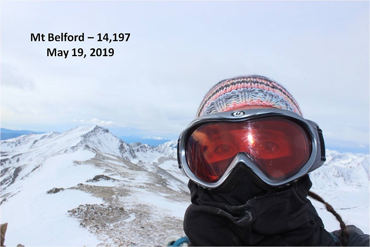
The wind was so intense it kept knocking my camera over, so I took a selfie instead (with my DSLR)
Belford 2

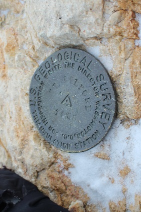
I love how this mountain has a summit marker!
29

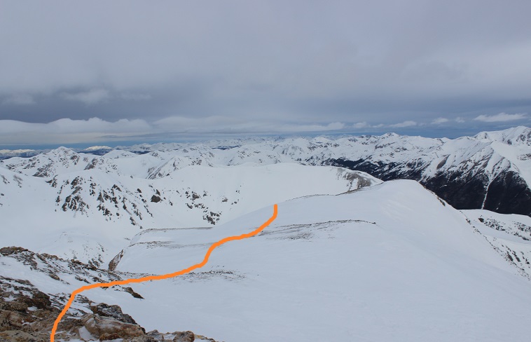
OK, time to head back and make this a loop. The only downside was I hadn’t hiked up the north slopes and I’d passed them in the dark, so I wasn’t sure of their current conditions.   I thought to myself I could always turn back and descend the way I’d hiked in if I needed to.  I paused and tried to remember which way was down?  I knew there was a huge gully I wanted to avoid… I was pretty sure this way was the correct way down?
30

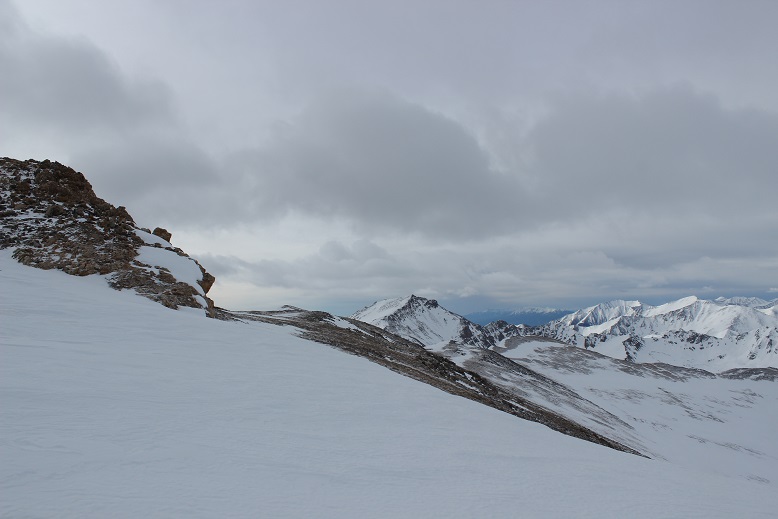
I headed that way and found a cairn (woot!) and what might have been a trail.  I turned around and looked at the way I’d come
31

And now I was headed down…

32

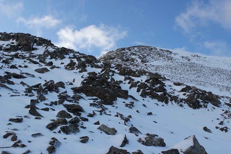
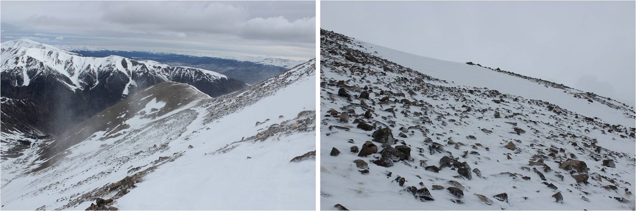
This was actually trickier than it sounds. While I couldn’t much get lost here, the rocks were very unstable, as were much of the large areas of snow.  I did not feel secure on any of the snow on the way down:  it all felt ready to fall.  The wind didn’t help either.
33

After about 300 feet the steepness mellowed out and it was a rocky walk down the ridge, avoiding the gully and slipping on the very loose rocks every 20 feet or so (I have a bruise on my bum to prove it)
34

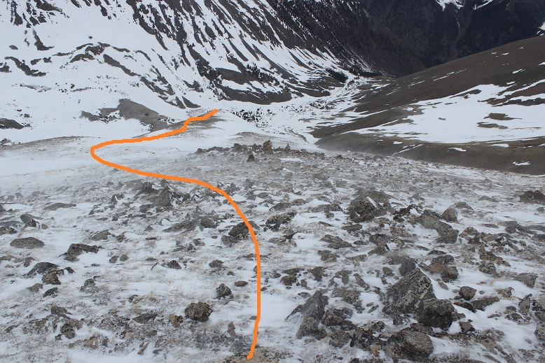
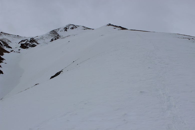
There were also long sections of snow (I kept putting on and taking off my snowshoes). Here’s looking back up at the way I came down
35

Back in the gulch I knew there wasn’t a trail, so I stayed high on the snow and made a beeline for the cabin
36

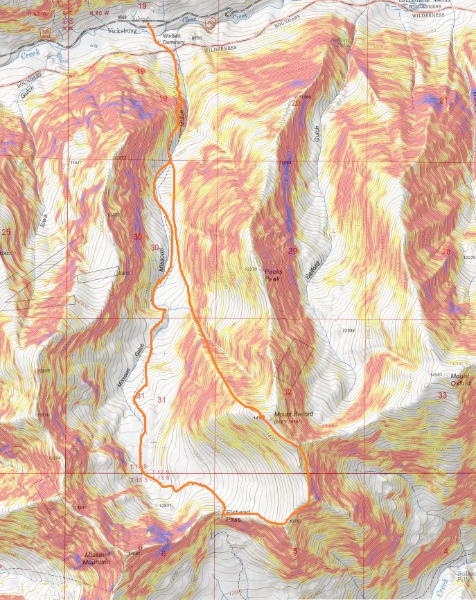
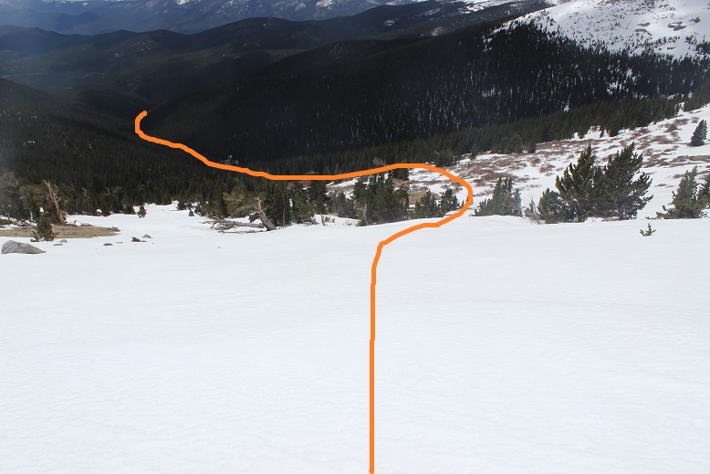
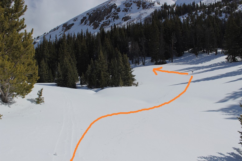
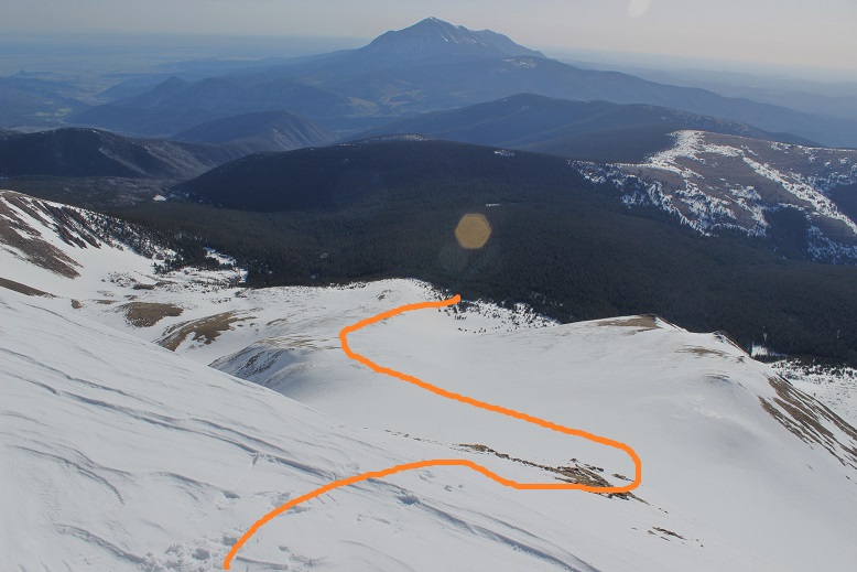
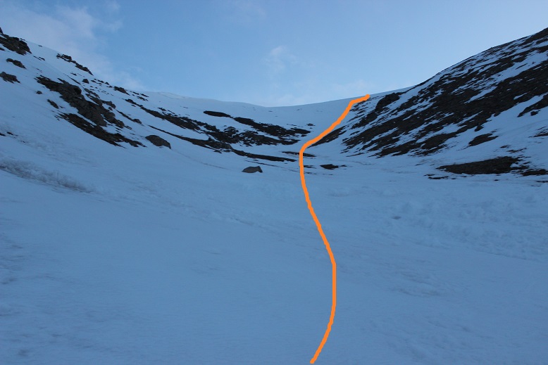
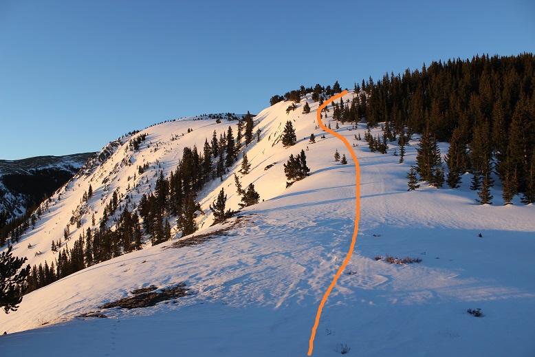
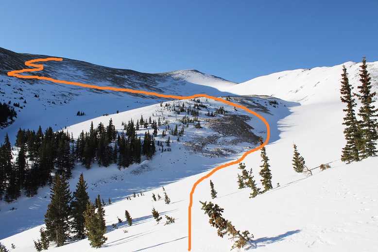
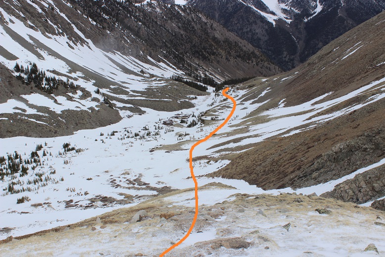
Here’s the route I’d taken earlier in the morning from the gulch to Elkhead Pass.

37

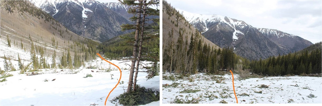
Just past the cabin I was able to see in the light of day what the avalanche had done. It hadn’t been a big avalanche, yet it had altered the route of the trail.  Here’s the way back to the trail
38

The rest of the hike down I thought about what had happened today. I was a bit bummed about Emerald, but had only given that a 25% chance of success to begin with so it wasn’t the end of the world.  Time to start researching alternate routes (I know there are a couple).  I was excited to discover you can summit Belford from Elkhead pass.  In fact, I thought it was a much easier route than the north slopes.  If I were to summit Belford again I’d absolutely chose to take Elkhead Pass, as it makes the elevation gain easier.

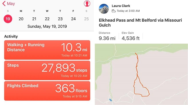
I made it back down to my truck at 10am, making this a 9.5 mile hike (it felt like more) with 4536’ in elevation gain (it felt like less) in about 7 hours (much of that time spent trying to navigate the pass).

Here’s the Relive
39

40

41

Summit Sticker can be bought here
Rosalie – 13,579 “Epaulie” 13,537 West Pegmatite Points 12,227

1

RT Length – 14.5 miles

Elevation Gain – 5920’

Sometimes hiking in the Spring is similar to hiking in the summer, in that you still need to be off the mountain before noon to avoid encountering storms, but spring storms tend to include snow.  Today’s forecast called for 70% chance of snow after 12pm so I decided to get an early start.  I arrived to what I thought was the trailhead around 3:30am only to discover I was not in fact at the trailhead.  You see Google couldn’t find the Deer Creek trailhead so I just set it for Deer Creek Campground and figured I’d find the trailhead from there.  I made it to the campground, drove through, and took a dirt road .8 miles only to arrive at a locked gate.  I figured this was the trailhead so I found a place to park, got out my gear, and walked to the gate, only to discover this was instead private property, I was being filmed, and there was no public access.  OK, so I went back to my truck and tried again.  It seems you don’t actually enter the campground, but at this sign turn right and follow the road to the end to find the Deer Creek Trailhead.

2

This is listed as a 4wd trailhead and I agree, much of the year it’s probably a 4wd TH, but today it was navigable by most 2wd vehicles.  There was only one short area where it would give me pause if it was raining, but I’m confident most 2wd vehicles can make it to the trailhead today.  It’s located on a well maintained road with several overflow spaces for parking along the road itself.

3

I made it to the new (actual) trailhead and in the dark couldn’t tell if I was seeing snow or mud or rocks so I just parked as near the entrance as possible for easy exit.  I was the only car in the lot when I arrived and when I left, despite this being a Friday (oh, and the parking lot was dry, so I could have parked anywhere).

4

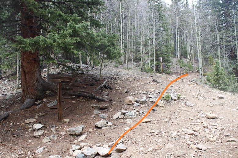
The trail begins at the west end of the parking lot.  I knew I was at the right area immediately because I saw this sign

5

And within a quarter of a mile I saw this bridge.  I hadn’t been expecting a bridge, but I crossed it and continued following the dry trail

6

This is a well maintained class 1 approach, but in the dark I took a wrong turn somewhere and ended up navigating around a bunch of downed trees.  I discovered on my way back I was taking an old trail that was closed due to said downed trees, but in the dark the obvious trail wasn’t so obvious.  So, if you’re hiking in the dark note:  If you come to an area that’s not passable in the dark stick to the creek.  There is an easy trail to follow, (as long as you don’t lose it…)

7

I crossed another log bridge in the dark

8

And came to a junction. Here you go right and take the Tanglewood Trail (not the Rosalie trail, even though you’re going to Rosalie).

9

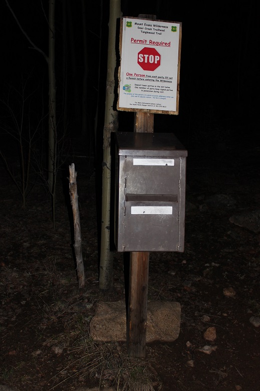
Shortly after this junction there’s a trail register.  A permit is required to hike here.  It’s free and you just fill out the information.  It just lets you know what Leave no Trace is and asks you follow basic trail etiquette.  You let them know how many people are in your party and leave the top half in the box.  There were plenty of permits and pencils.  I filled one out and continued on my way.

10

I lost the trail once again for a short while when I encountered old avalanche debris, but turned towards the creek and found the trail again.  Once again, this was a “my bad in the dark” kind of situation.  In daylight there was no issue.

11

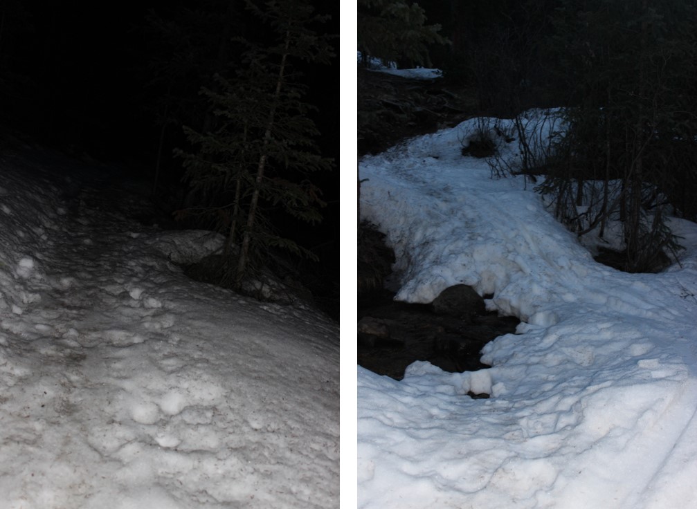
I was now about 2 miles in and the snow began to cover the trail.

12

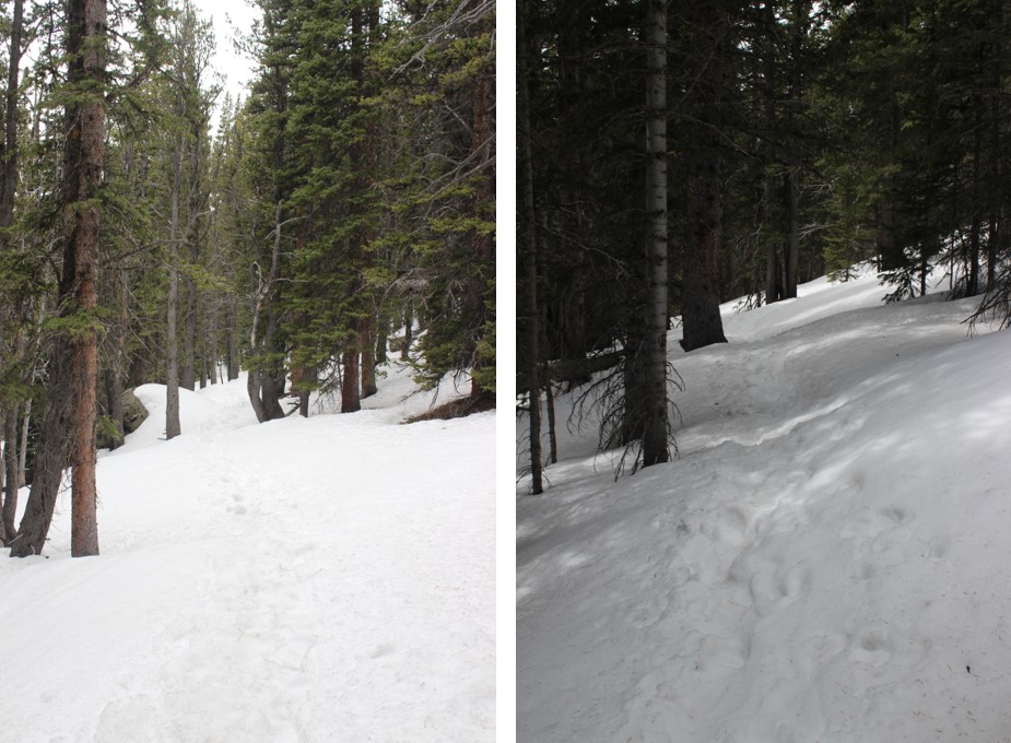
Due to the warm temperatures last night I immediately began postholing.  What’s funny is I started seeing tracks that looked like moose or elk tracks.  I spent a considerable amount of time trying to decide if they were Elk or Moose, but they looked like both?  In the beginning they were confined to just an inch or two of postholing, but eventually the animal(s) were postholing knee deep or more as well.  I bet they’re looking forward to the snow being gone.

13

There were tons of tracks and I was confused because some looked like elk and some looked like moose.  I figured the area was more conducive to moose as the willows and creek provide their food source, but I was seeing mixed evidence of both.  And then I came upon scat.  Tons and tons of scat, and it became evident there are both moose and elk in the area, and probably some babies as well.

The snow didn’t stop until treeline, and if anything the postholing got worse.  I was stubborn and didn’t put on my shnoshoes until I made it to the willows, where they were absolutely necessary.

14

Here I again lost the trail but knew I just needed to gain the saddle so I headed west up and through the willows, only sinking to my waist a handful of times.  Oh, and did I mention the elk and moose scat?  It was covering the floor of the willows; piles and piles at a time.  And those buggers make their own trails through the willows, which stop when they look like they go (and vice versa).   This is definitely an area they bed down in.

15

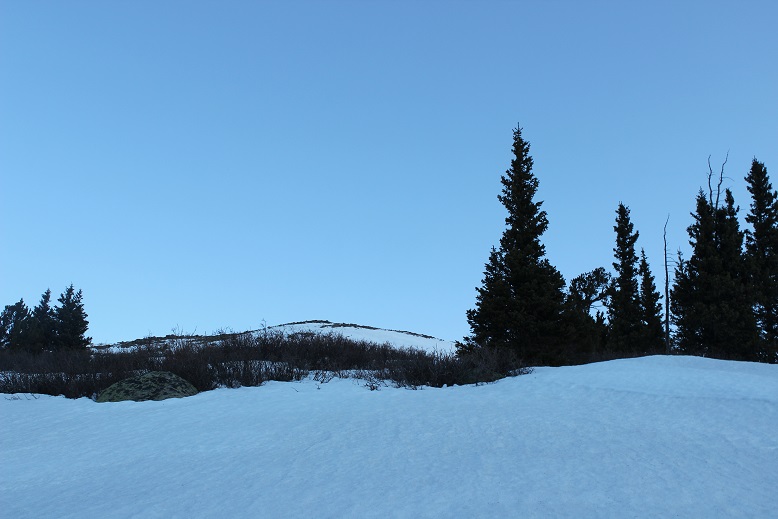
Just heading towards the saddle…

16

17

Here’s where I was headed

18

There hadn’t been much of a sunrise (no alpenglow) but I was pleasantly surprised there wasn’t a cloud in the sky!  This was great news, as there were many peaks I was interested in summiting today and it looked like the weather was cooperating.  I gained the saddle and turned left to follow the ridge

19

This ridge was mostly a gentle ridge.  I was lazy and didn’t want to take off my snowshoes so I kept to the snow even though it was avoidable.

20

This ridge is longer than it looks, and the snow towards the middle gets steep (but nothing too dramatic, snowshoes were fine).  I just kept aiming towards the next landmark (rock) and hiked on.

21

I made it to what I thought was the summit only to be greeted with the true summit in the background

22

I kept going another quarter mile or so to the summit of Rosalie

23

The summit was rocky and dry.  I summited at about 7:50am

24

25

Rosalie Summit: Rosalie

I had some great views of a couple of 14ers, but I was headed towards another 13er: “Epaulie”.  I could see some clouds gathering in the background and the wind was picking up, but I wasn’t too worried about the weather;  I had until noon for snow, right?

26

Hiking down to the saddle of Rosalie/”Epaulie” I took off my snowshoes and navigated the rocky slope.  At least the rocks were stable.

27

The entire hike to the saddle I kept my eye on “Epaulie” and tried to decide on the route I wanted to take to the summit

28

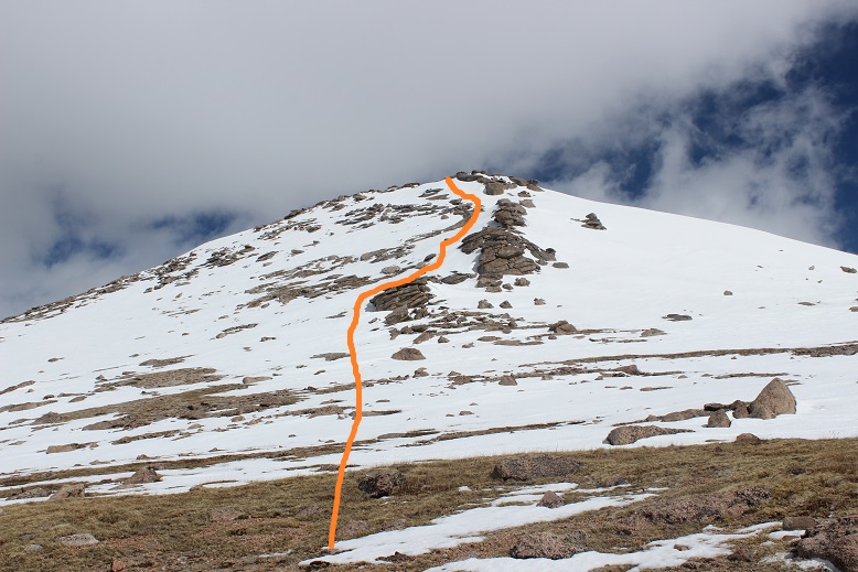
Looking at “Epaulie” from here I thought taking the right side would be a good choice since there was continuous snow, but as I got closer I realized just how steep that snow was and decided to head left instead.  This ended up being a good choice.  Snowshoes and an ice axe were a good choice as well, as the snow was very consolidated, smooth but rock hard, and steep.  Here’s the route I took

29

Towards the top the snow gets very steep and I was thankful for my ice axe the last 50-75 feet or so.  And btw, those are very large rocks encases in ice/snow, not dirt.

30

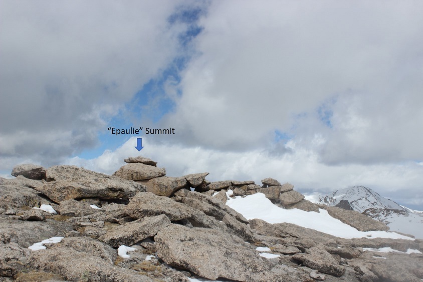
The summit made for some fun bouldering

31

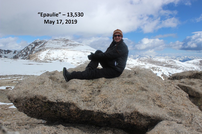
I’m not sure when I summited because it was quite windy and I was keeping an eye on those clouds, which were moving in fast!  I took a summit selfie with my DSLR and kept my cell phone in my pocket.

32

I looked over at Epaulet Mountain.  I’d wanted to summit this unranked 13er also today, and the weather was looking pretty good towards Epaulet, but those clouds back over Rosalie were worrying me.

33

I gave it a quick thought and remembered there was a ranked 12er close to the saddle on my way back down.  In the end I decided not to summit the unranked Epaulet and to instead head back and attempt the ranked 12er (if the weather held out).  I figured it was better to be closer to a bail out point if the weather turned.  It looked like the weather was anxious to get started early this afternoon.

I exchanged my snowshoes for crampons for the way down.  Again, another excellent choice.

I turned around and re-summited the rocky Rosalie (taking off my crampons for this part)

34

And looked at my intended route towards 12er West Pegmatite Points.

35

This looked easy enough, and in front of me the path seemed clear of weather (but clouds were increasing behind me).  I headed down towards the saddle and about halfway down felt my backpack give a quick pull, but didn’t think anything of it until about 200 feet later where I decided I should probably check it out.   I took off my pack and it was open!  Drat!  I rummaged around to see if I’d lost anything and only counted one crampon. Ugh… I needed that crampon for Sunday’s hike.   I looked back up the slope and saw something blue and shiny up above.  That was my crampon all right.  I was going to have to backtrack and trudge up to get it!

36

37

I made my way back up the slope and quickly discovered the snow was getting quite slushy.  It couldn’t have been past 10:30am, yet the snow was melting fast!  I needed to get down to that saddle.

38

I slogged my way to the saddle and was feeling great so I decided to head over to West Pegmatite Points.  There is no route, so I followed the ridge up and over as far as it went

39

Here’s the path I took, right at these rocks

40

And around them

41

Up a small slope to gain the ridge

42

And then across the ridge to the summit.  There was a lot of fun rock scrambling but I’d still keep this at a class 2

43

I took a quick summit photo and the wind told me my half of hair had come undone sometime on the hike.  I was getting strands hitting me in the face, so I quickly re-braided it and without another hair tie just used one to secure both braids. I’m sure I looked amazing…

44

A storm was coming in from the west, and while the above picture doesn’t suggest a storm, right about now is when it actually started snowing.  Just little bits that flew in my face, but I knew more was to come, so I quickly gathered my gear and headed back towards the saddle, aiming for the rock outcropping.

45

From the saddle I put on my snowshoes and just headed down through the bristlecone pines and willows towards the creek I knew flowed in the trees.

46

When I made it to the willows I actually found the intended trail and was able to easily follow it all the way back down.  It’s amazing how much easier route finding is in the daylight!

47

I kept looking for those elk/moose, but feared I was making too much noise in my snowshoes and was probably frightening them all away.  The snow picked up and felt absolutely amazing on my face!  I was flushed and seriously considered putting my face in the creek just to cool off (but didn’t…).  Yes, the trail was much easier to follow in the daylight, and I never came upon those downed trees that stumped me before and actually crossed a stream I hadn’t on my way in…

48

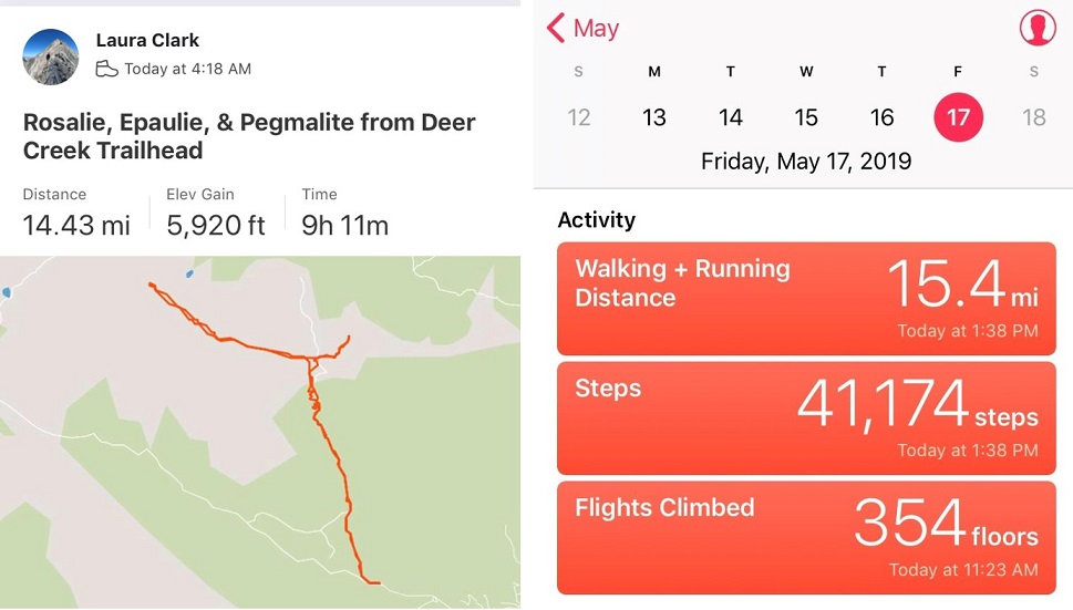
I made it back to my truck at 1:30pm and checked my stats.  Whoa!  I’d been expecting a 10 mile hike with about 4700’ in elevation gain, yet I’d done 14.5 miles with 5920’ in elevation gain In 9 hours!  The best part was I wasn’t even that tired (which I attributed to the relatively “lower” elevation of these 13ers and 12er when compared to the other 13ers and 14ers I’ve been doing lately:  breathing at altitude goes up exponentially and tires you out!)

49

Here’s the Relive: Relive

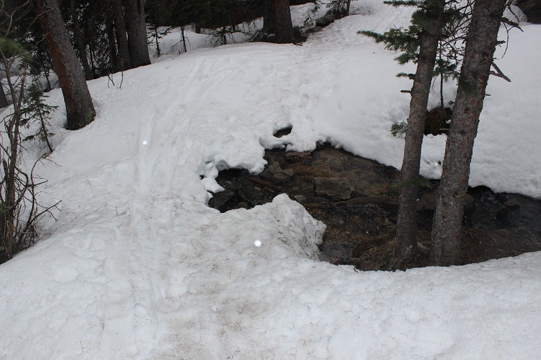
Oh, and there was a small snowbridge to cross just after the snow begins, which was questionable.  It doesn’t look stable and didn’t feel stable either.  I crossed it in snowshoes so if it broke I’d have stability in the water, but be careful with the rising temperatures crossing these things!

50

Also, I was glad I had microspikes, snowshoes, crampons, and an ice axe for this hike.  I kept changing them out (and at times didn’t wear any of them) but felt good having them all.  Oh, and postholing is never fun!

Mt Parnassus – 13,574 & Woods Mountain – 12,940

1

RT Length: 7.5 miles

Elevation Gain: 3781’

Today was Mothers day, and what better way to celebrate than to go on a solo hike above treeline and let my kids sleep in? Yep, that’s what I thought too, so I made plans to be out and back before my kids woke up (they’re 16 and 20… they’ll sleep until 3pm if I let them).

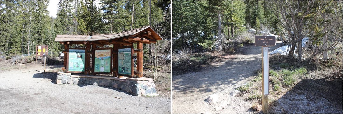
I couldn’t sleep, so around midnight I decided to just get up and go hiking, even if it was a few hours earlier than intended. I made it to what I thought was the Herman Gulch trailhead to a locked gate at 3:30am, got out my gear and began my hike, only to quickly discover I was not hiking the correct trail.  It was immediately obvious and I knew my mistake, so I went back to my truck and re-parked it at the very accessible and open Herman Gulch Trailhead.  There were bright orange signs warning me of avalanche danger.

2

The trail starts just behind the information sign, and follows the Herman Gulch trail west.

3

The trail was free of snow until I made it to the Herman Gulch / Waterous Gulch Junction. From here on out the trail contained continuous snow, but traction wasn’t necessary for a while.   I turned right (east) at the junction.

4

As I rounded the ridge the snow immediately began to pick up, and in the dark I foolishly tried to walk up what turned out to be a path of solid ice. I immediately slipped and tried to catch myself, but ice is like glass and I cut up my right hand trying to brace myself against the impact and to latch onto something I could grab when I fell.  It actually wasn’t that bad, but there was a lot of blood (it hadn’t been cold enough to put on my gloves yet, so my hands didn’t have any protection).  I sat down, took off my pack and put my right hand in my mouth to clean up some of the blood while rummaging around my pack with my left hand, searching for my crampons.  It looked like someone had taken a snowboard down the trail and smoothed it out, which is great for skiers and snowboarders but it made hiking up the path similar to hiking up an ice chute.  Microspikes weren’t going to cut it this morning:  I needed crampons.  At 9000’.

5

I stuck my hand in the snow and it immediately froze and the bleeding stopped. I kept my crampons on for most of the hike, mainly because I was too lazy to take them off and they weren’t getting in the way.  The trail through the trees was easy to follow as this must have been a popular hike yesterday.

6

There were several parallel ski lines, but all tracks led to the same area. There was also evidence of several avalanches in the area.  Most looked to be many years old, but some looked recent.

7

After about 2 miles I crossed over to the Waterous/Bard trail junction. I could hear water flowing underneath me, so this might be a creek in the summertime but it was covered in several feet of solid snow this morning.

8

This is where the ‘trail’ stopped. I turned left and continued on the Waterous Gulch trail for about 1/3 of a mile along the east side of Waterous Gulch

9

10

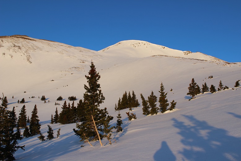
My research told me to hike up the west slopes of Mt Parnassus to the summit, so I turned right (east) here and started up (in the dark, so I couldn’t tell just how steep these slopes were at the time).  I needed my ice axe, especially just before treeline as this area was loaded with steep snow.

11

What awaited me was 2000’ of elevation gain in about a mile.   I made it past treeline just as the sun was beginning to rise

12

The only downside? This is where the wind picked up, and I mean picked up!  The forecast had called for 15mph winds today, but these were much higher, and sustained. The wind didn’t seem to care about one direction or another:  it kind of swirled around as it blew past.  I put on my balaclava and every time I saw a gust coming turned and braced myself against the mountain, waiting for it to pass.  It was too early to put on my goggles, so shielding my eyes was especially important, as it felt like shards of glass were flying at my face.

13

Every time there was a break in the wind I’d look ahead, find a new landmark, and hike towards it. Here’s the route I took over the first hump

14

And second hump

15

And third hump (these sections are all much longer and steeper than pictures make them look)

16

Until I could finally see the summit!

17

That wind hadn’t let up so I didn’t stay too long on the summit.

18

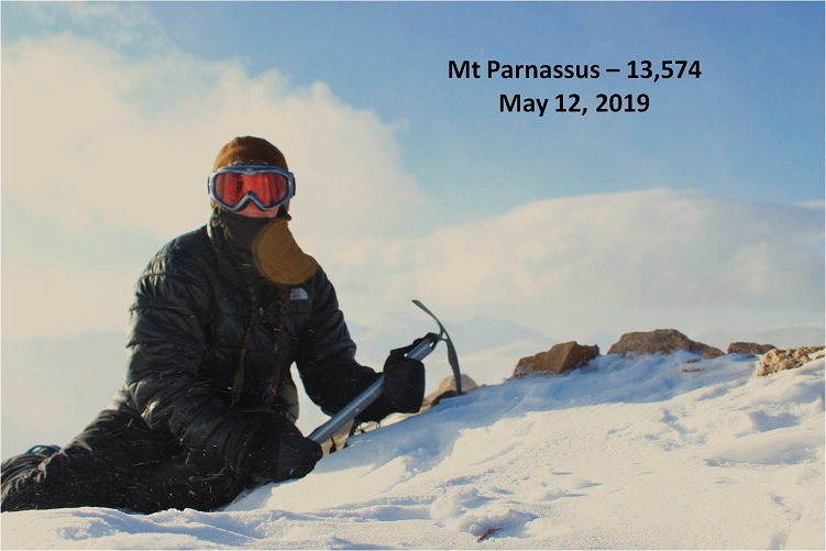
I took a summit photo that didn’t turn out too well because of the wind and blowing snow

19

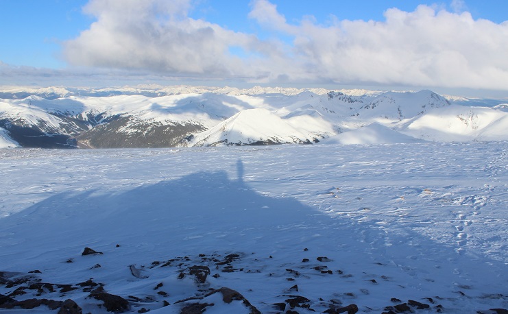
And waited for a lull to get a shadowselfie. Check out all that snow!  Amazing for the middle of May!

20

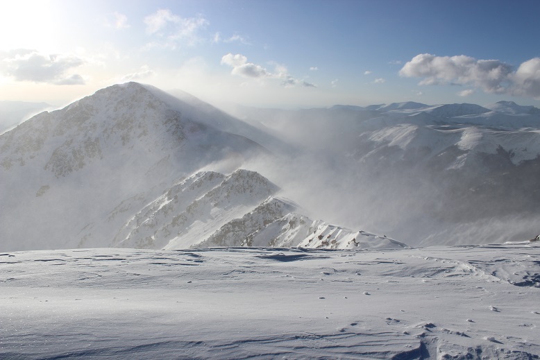
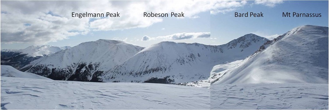
Take a look over at Bard Peak. I’d really wanted to make this a double summit today, but those winds weren’t letting up.  They’d been at it since I’d hit treeline and showed no sign of stopping.  The wind was making clouds out of the snow on the ridge, continuously blowing it up into the air.  This ridge looked spicy without the wind, and with it downright dangerous:  Those cornices were made up of loose snow.  I could tell because the wind was picking it up and throwing it around without too much trouble.

21

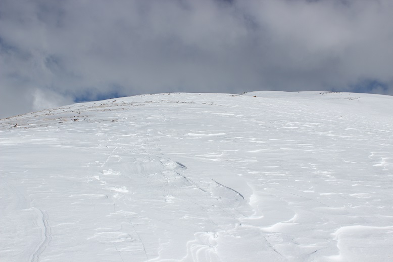
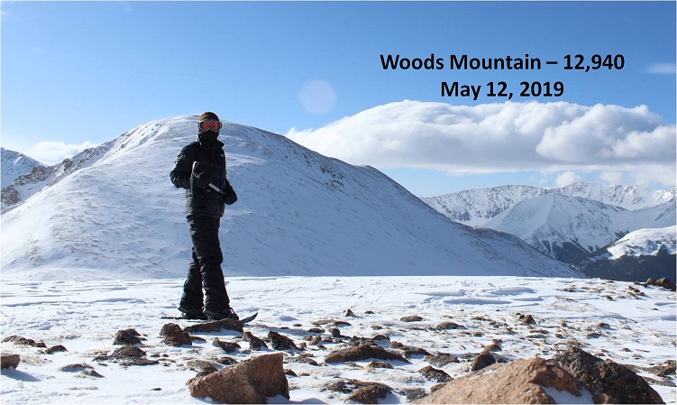
Well, that was a bummer. I guess I’d just head back the way I came.  And then it hit me:  Woods Mountain was just across the way, and while it isn’t a 13er it’s a respectable 12er (12,940’).  I’d just head over there and get in a double summit that way.  So I turned and headed northwest towards Woods Mountain (and away from the wind).

22

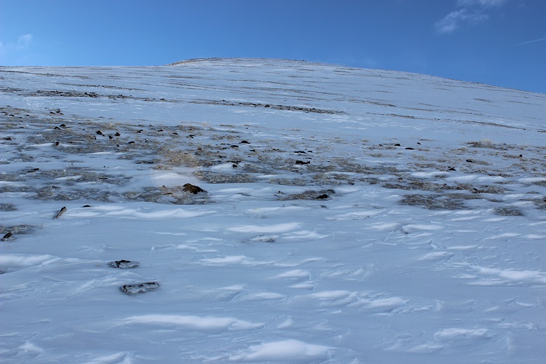
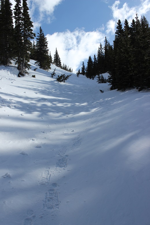
Almost immediately my crampons became cumbersome, so I took them off and exchanged them for snowshoes. Ahhhh!  Much better!  I turned to look up.  Yep!  That’s steep!

23

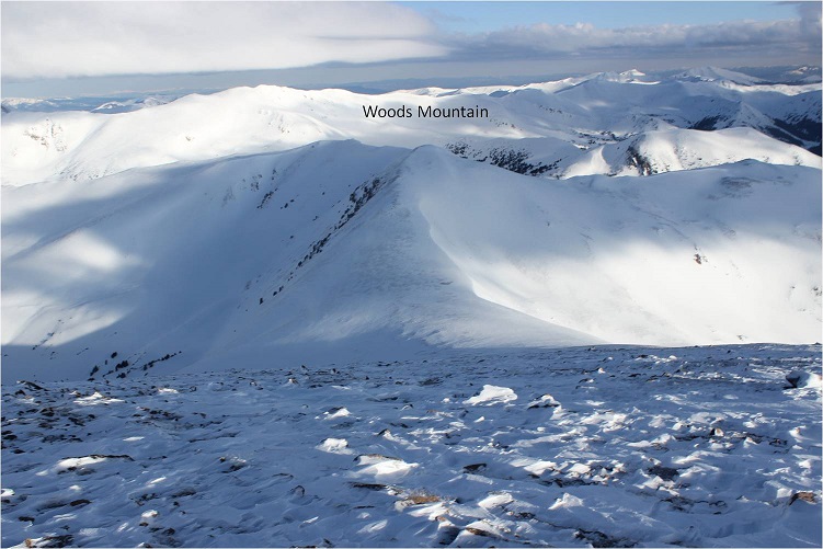
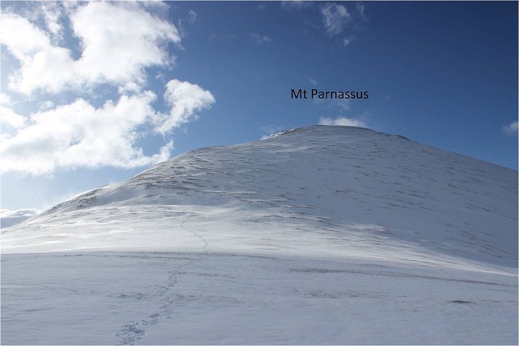
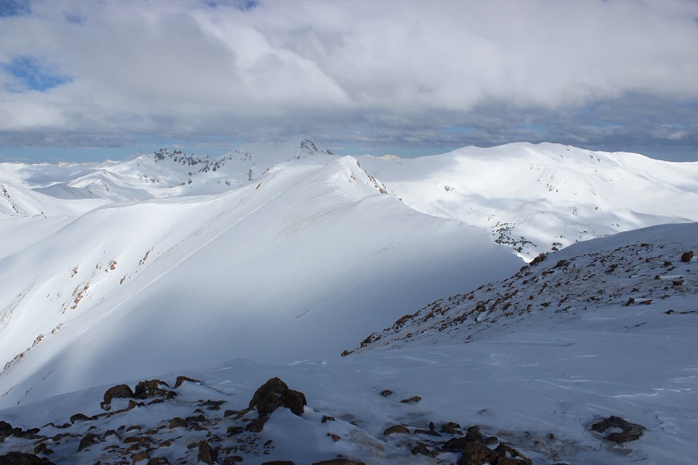
I made it down to the Woods/Parnassus saddle in no time and looked back at the way I’d come

24

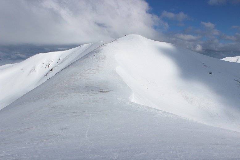
And my way up Woods Mountain

25

This was going to be easy! The only downside?  The saddle was a bit windy as well.

26

The slope up Woods Mountain was long and gentle and didn’t require any rest.

27

It didn’t feel like it took very much time to summit (and here the winds calmed down)

28

From the summit I looked back at Parnassus and the other 13ers I’d intended to hike today. I sighed:  the wind was still at it.  Oh well, this just means I’ll have to do the Engelmann-Robeson-Bard trek later.

29

I turned and looked at the way I was supposed to head down the mountain, behind Woods’ south slopes, and on to Point 12805, but it just didn’t look…. safe.

30

So I turned and looked back at the Woods/Parnassus saddle and studied the terrain.

31

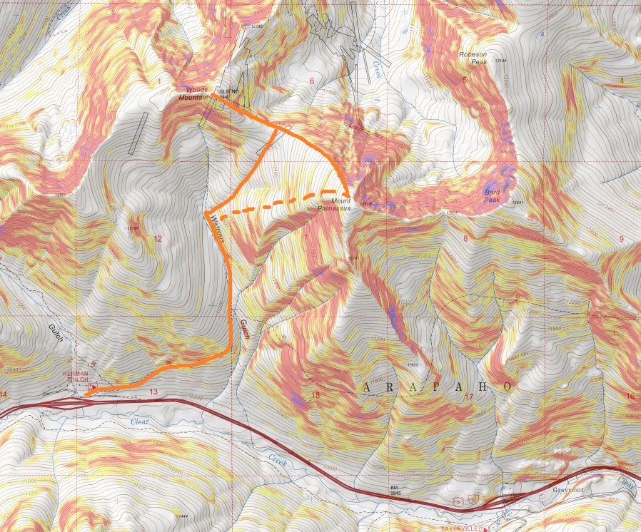
I got out my topo map and concluded it was safe to head back to the saddle. I took the solid orange line back down to Waterous Gulch.  The dotted orange line is the way I summited Parnassus.

32

Oh, and I could see a solo hiker taking the same route I had up Mt Parnassus. That meant someone else was out here today.  Cool!
33

The wind started picking up again when I made it back down to the saddle.

34

I turned right (west) and headed down towards the gulch.  Just before treeline I turned back around and looked at the way I’d come

35

Video from below saddle: Bard/Parnassus

I turned back towards the gulch and followed the drainage to a small gully

36

37

The bottom of this gully ended in Waterous Gulch, about 200 feet from where I’d turned to start my long trek up to the summit of Mt Parnassus. I quickly came to the realization it would have been much easier to just have used this small gully to gain the saddle between Woods and Parnassus to summit Mt Parnassus rather than to have climbed Parnassus’ west slopes.  I’d recommend just taking the gully.   The dotted line is the way I summited, but as you can see, the solid path works just as well (if not better).

38

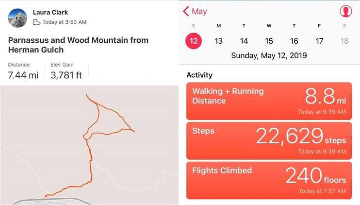
Back in Waterous Gulch I picked up my earlier trail and followed it back to my truck, taking pictures in the daylight for future use. The snow had warmed up and the icy section from this morning now gave a little as I descended (so no slipping!).  I made it back to my truck at 9:30am, making this a 7.5 mile with 3781’ elevation gain in 5.5 hours.  I was a bit disappointed I hadn’t made it over to Bard Peak, and with that missing the added mileage and elevation (I wasn’t even tired…) but on the positive side I’d make it home before noon, and it was Mother’s Day, so I should wake up the girls and do something to celebrate.

39

Here’s the Relive:

Trinchera Peak – 13,517

1

RT Length: 10.5 miles

Elevation Gain: 3741’

I changed my mind several times before setting off on this hike. This is not the peak I’d wanted to do today, but after some last minute research I realized the one I really wanted to hike isn’t achievable this time of year.  So I was bummed, but also glad I hadn’t attempted the peak just to have to turn back (that’s happened to me too many times this year as it is).

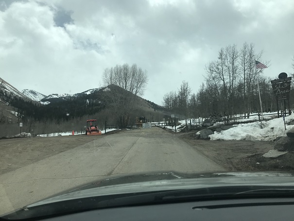
I arrived at the winter closure at 4am, surprised to find there was a winter closure? I was under the impression the winter closure was the Blue Lakes Campground, but here I was, faced with a locked gate 2 miles from the lake.  Oh well, this was supposed to be a short hike, so I welcomed the added mileage.
2

I parked at the picnic area and was the only one there when I arrived. I’m not sure this area gets much winter use.
3

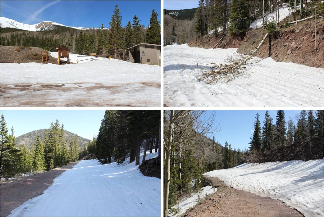
The dirt road up to the campground is a well maintained 2WD road. It was clear of snow in places and covered in a few feet of snow in others.  It’s going to be a while before the FSR 422 road is opened this year.

4

Once I made it to the campground the snow coverage really picked up. Now the tricky part was trying to find the trail in the dark.

5

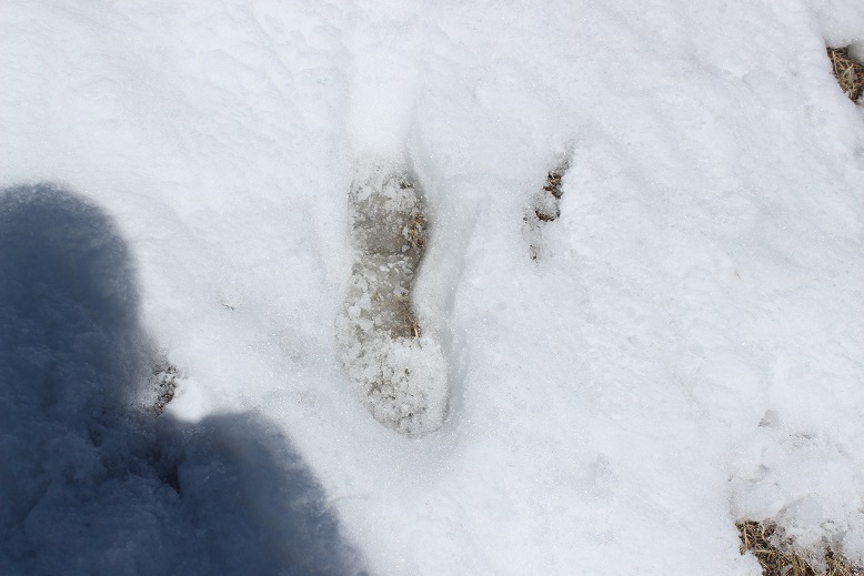
I’m sure this is a well maintained trail in the summertime, but it didn’t look like anyone had been out here in months, and certainly not since the last snow. At times the trail was obvious because there was a clear path through the trees, but most of the time I had to just keep heading southwest up towards treeline, making my own trench.   There seemed to be several switchbacks.
6

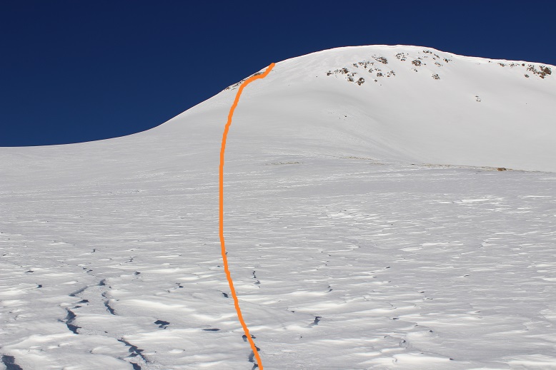
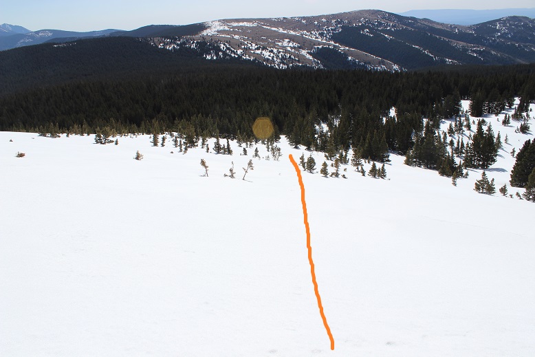
Once at treeline the rest of the route became obvious. I found a path between the trees

7

And then gained the ridge and followed it up

8

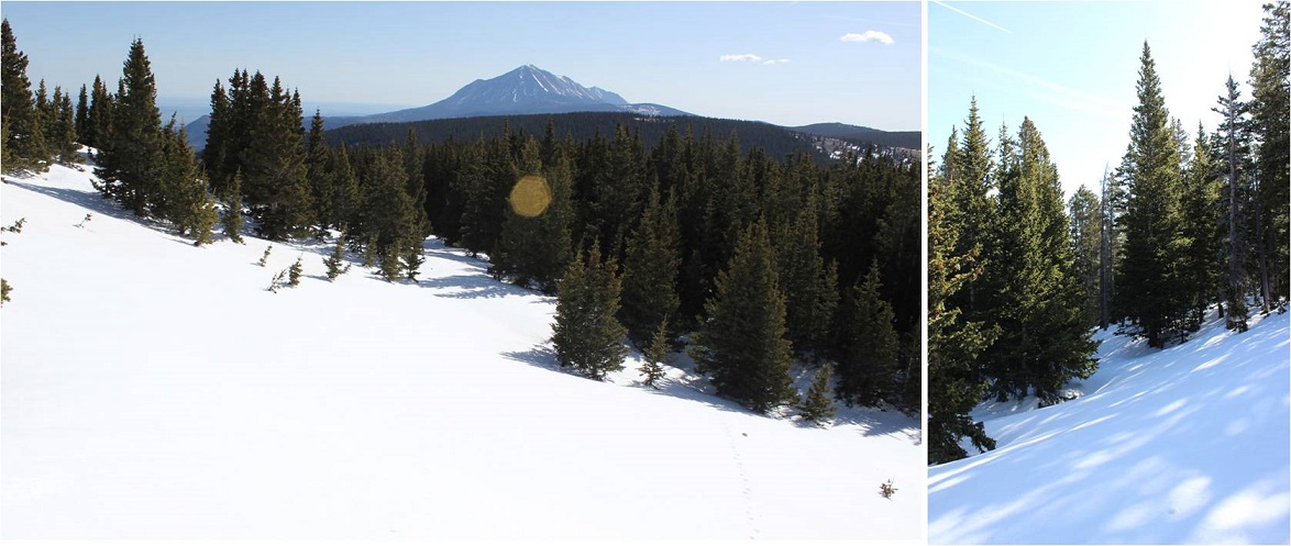
I took a shadowselfie because I could, and turned and watched the sun rise over West Spanish Peak

9

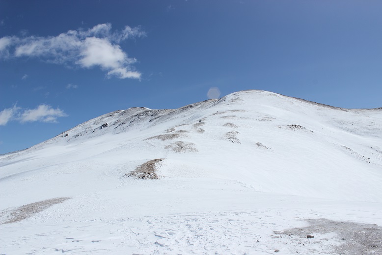
Once on the ridge I started to get worried. What I thought was going to be a very easy hike now included an unforeseen obstacle:  a HUGE cornice covering the entire summit.   At least it looked stable.

10

The closer I got the larger the cornice became

11

I tried my best to find a route up that didn’t include the cornice, but that just wasn’t going to happen, so I aimed for the route with the least amount of danger. Sticking to the left I thought I could avoid most of the cornice and climb straight up a wall of ice.  Here’s the route I took

12

The snow kept getting steeper and steeper, and the last 50 feet or so I continually used my ice axe and wished for my helmet. I just kept looking ahead and plugged in my ice axe, repositioned myself for stability, and hauled myself up.  The last 10 feet were brutal, but I was able to hoist myself up over the lip of the cornice and found I was on a lot of solid snow with a windblown summit just beyond.

13

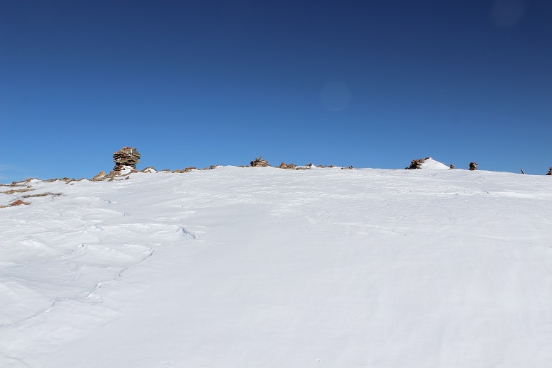
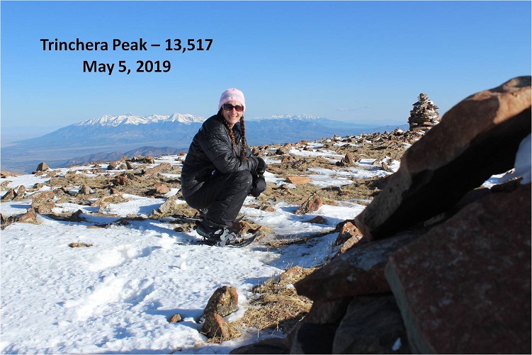
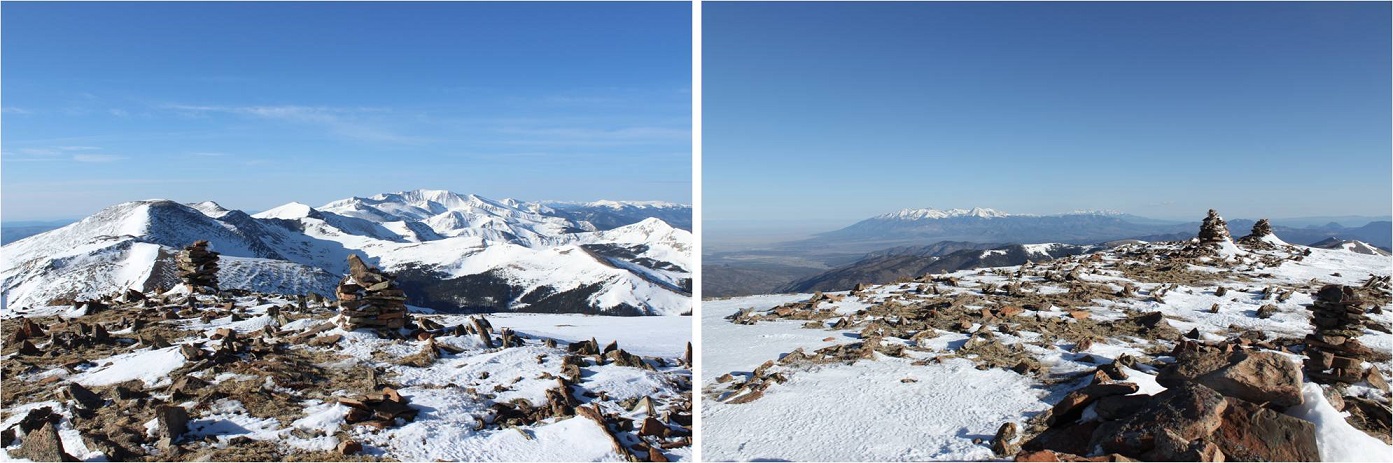
I summited at 7:30am. I tried not to get too excited about what I’d just done as I took a few pictures

14

15

I’d intended on summiting a few other 13ers today (Leaning South Peak, Leaning North Peak, and possibly Cuatro) but the extra miles I hadn’t expected from the winter closure meant I was behind schedule and unfortunately, the snow was warming up. As I was debating go or no-go I looked for a good route towards the other 13ers, but all I could see were cornices blocking my way down.  Hmph.  Oh well, I’ll just have to make another trip out here:  In the summer when there aren’t any cornices.

16

Oh yeah, I still had to get down this cornice. I took a look over the edge…

17

Wow, that was steep! Here’s a look at the route from the summit back to treeline

18

I turned to face the cornice to head back and immediately realized snowshoes weren’t going to cut it on the way down. They’d been great for stability on the way up, but they would be in the way on the way down.  I switched to crampons and was immediately pleased with my choice.  OK, now to head down.  The first 50 feet or so were harrowing to say the least.  Wearing snowshoes on firm snow I hadn’t made steps on the way up but they were needed on the way down.  So I spent a lot of time kicking in steps, balancing, and slowly making my way down off the slab of ice.  I stopped when I felt safe and took a picture.  The steepest part is circled

19

I was thrilled when the crampons were no longer needed and switched back into my snowshoes. I took a second to breathe and looked back at what I’d just done.  Wow!  Yes, much, much steeper than this picture makes it look. That had been an adrenaline rush!

20

Here’s the route back down to the trees

21

The snow was quickly becoming soft and was fun to walk though. I was very, very glad I’d chosen to head back and not summit those other 13ers:  it was warming up fast!

22

Video:

Here’s a look back on the final push

23

24

As I hiked down I couldn’t help but think how this looked like a great mountain to ski, yet it was obvious no one had been here to do so in quite a while. There was continuous snow from the summit to treeline and honestly, all the way back to the campground. It seemed a shame no one was out here enjoying the skiable terrain.
25

I followed my tracks back to the “trail”

26

And through the forest

27

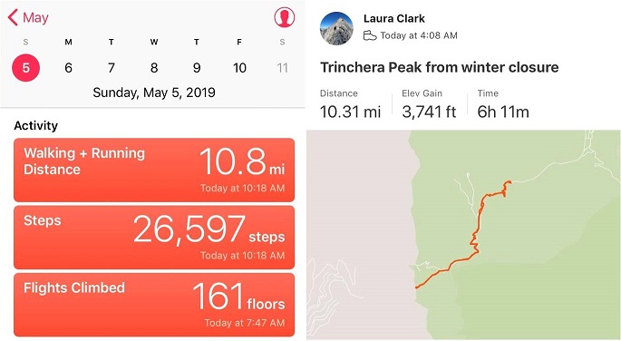
I made it back to my truck at 10am, making this a 10.5 mile hike in 6 hours.

28

Today was fantastic! All I can say is this peak needs more attention!  It was a beautiful day, which helped, but when I made it back to my truck I didn’t feel exhausted or even tired or sore.  The ice axe and crampon use had been a fun surprise, and the 10.5 miles had spread out the elevation gain nicely so I didn’t feel it much.  It’s a shame this peak doesn’t get visited more often.  If it’s on your list, you should move Trinchera to the top!

Relive:


Cupid – 13,117, Grizzly – 13,427 & Sniktau – 13,234

1

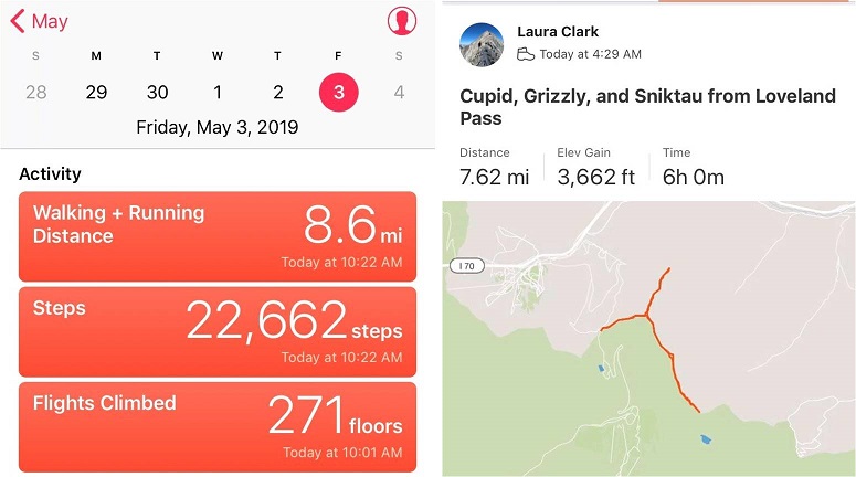
RT Length: 8 miles

Elevation Gain: 3662’

I made it to the trailhead at 4am and was the only vehicle in the lot. There was room for about 10 cars, but I’m sure when there isn’t snow there’s room for many, many more.

2

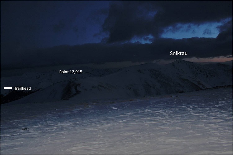
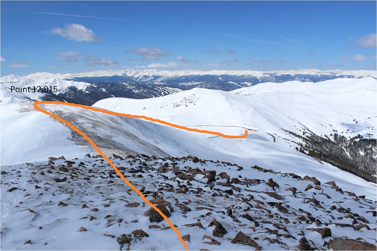
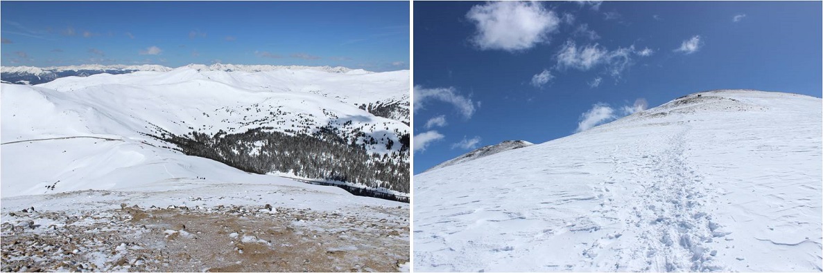
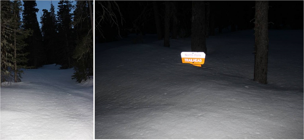
It was much colder than anticipated when I left my truck for the trail, but I figured it was due to the elevation and unexpected wind. I quickly put on my balaclava and hat. I was the only one at the trailhead when I arrived, and about a quarter mile up the trail couldn’t remember if I’d left the lights on inside my truck.  I looked behind me and couldn’t see them glowing in the dark, so I crossed my fingers and kept on hiking.   If it were light out I would have been able to clearly see the route before me up to point 12,915, but since it was dark I just kept heading straight up the ridge.

3

After about half a mile I reluctantly put on my snowshoes. They weren’t absolutely necessary, but I was getting tired of surprise postholing.  The terrain went from snow covered to ice covered to bare over and over again.

After a mile I made it to the top of Point 12,915 and decided to summit Cupid and Grizzly first, so I turned right and headed over to Cupid.

4

This was a fairly easy walk that would have been even easier without all the wind.

5

The last bit up Cupid was covered in crusty snow

6

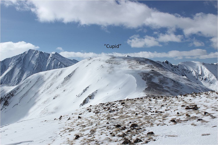
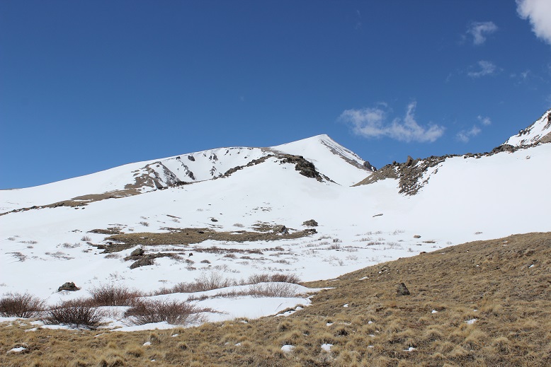
From Cupid I could just see the route I’d taken and Sniktau in the dark

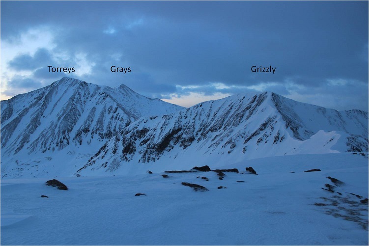
7

And Torreys, Grays, and Grizzly Peak D

8

Now it was time to head over to Grizzly Peak by continuing southeast down and along a ridge.

9

Right about now the sun started to rise, but that wind just wouldn’t let up!

10

Check out those cornices!

11

The cornices had me a little worried, so when I hit the rock outcropping I did some class 3 moves in my snowshoes while downclimbing the rocks (not my brightest idea). Once I was past them and turned around I realized it would have been safer to just have gone over the what I thought had been cornices but was actually just snow (so that’s what I did on my way back).

12

Dotted line is the route I took on my way down, solid is the way back up

13

From the saddle between Cupid and Grizzly is where the wind really started picking up and the clouds started rolling in. I was a bit upset, I mean it was supposed to be a sunny day with little wind, and at this point it was neither.  This is also where the cornices looked dangerous.  This one looks ready to drop!

14

I stayed to the right of the cornices. The clouds suddenly began to clear and I could now see the route up Grizzly.

15

I started up Grizzly and turned to look back at those cornices one more time

16

All of the sudden I heard what sounded like a gunshot and just about jumped out of my skin! It took me a second, but I soon realized the sound was an explosive for avalanche mitigation.  I heard about 10 more of them throughout the morning, and while I looked for the resulting avalanches I never saw them. Yes, the sound surprised me every time.

At this point in the hike I should have taken off my snowshoes, but I really didn’t want to carry them so I just kept them on. There is a bit of a false summit to this peak

17

And in the end I was glad I’d kept the snowshoes on because there was snow to contend with towards the summit that required snowshoes and my ice axe as well.

18

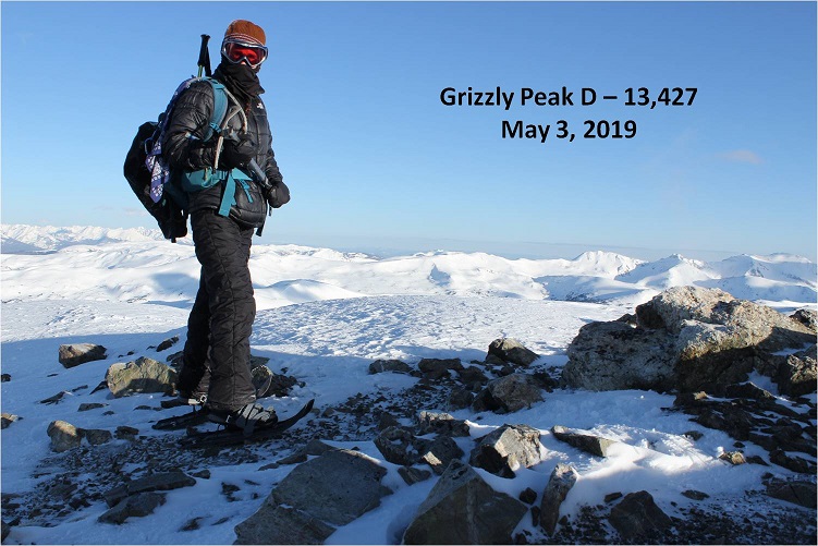
I summited right at 7am. I know this because my phone alarm went off and I called my daughter to wake her up for school.  So yes, there’s reception on top of this peak.

19

Grizzly Video

Here’s a look back on the route to get here

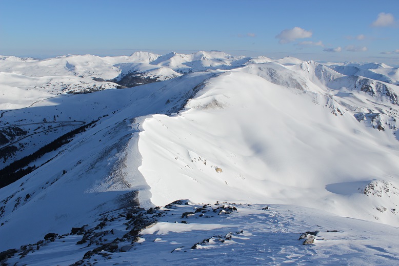
20

Now that the wind had driven the clouds away the views were amazing!

21

OK, time to head back down.

22

These cornices are much bigger and steeper than they look.

23

I was once again glad I had my ice axe as I just went up and over the snow on the rock outcropping, no longer worried I’d be in trouble if I fell.

24

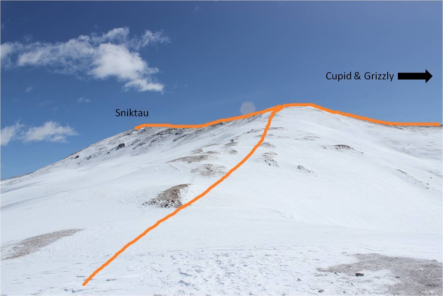
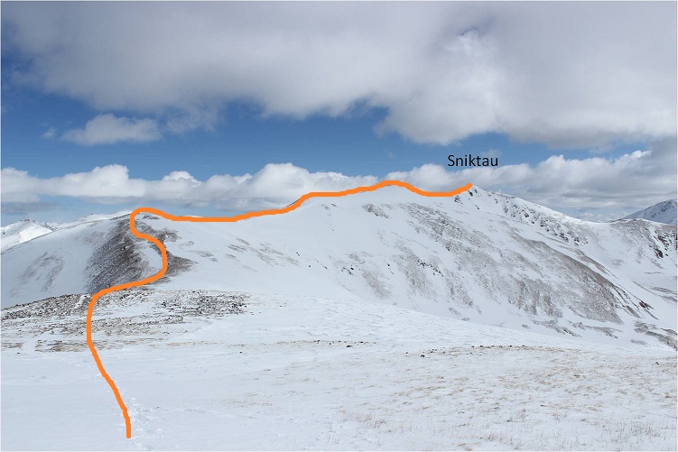
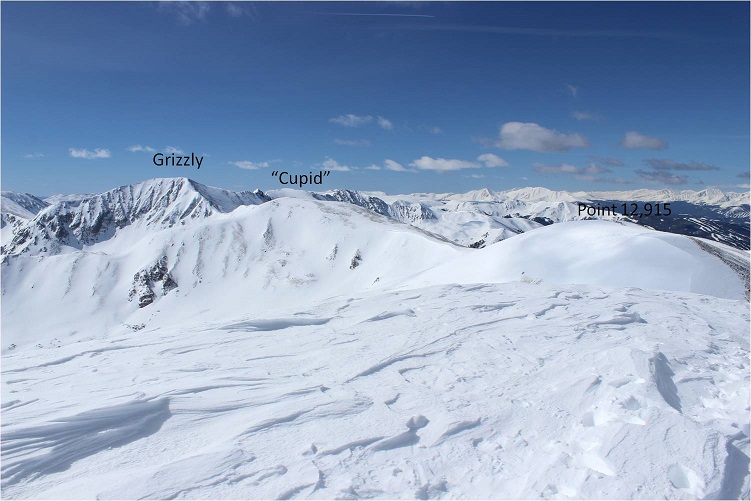
OK, so back on Cupid I could see the route up Sniktau

25

This route had cornices too, but they were very easily avoidable and none looked in danger of falling anytime soon.

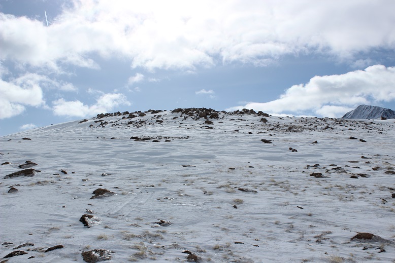
26

There’s a false summit on this one, but I’d known that from seeing it from the other peaks earlier this morning. The snow cover here ranged from nonexistent to about 2 feet deep.  I didn’t really need my snowshoes, but once again I was glad to have them on. I traded my ice axe in for my trekking pole and trekked to the summit.  The slope was nice and gentle.  I didn’t even need to stop to catch my breath.
27

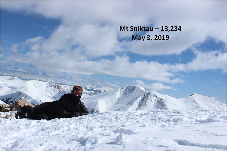
I summited at about 9:30am

28

Sniktau Video

Here’s a look back on the route from Grizzly to Sniktau

29

I made my way back to Point 12,915 and headed back to the trailhead.

30

Now I started seeing people: Groups and groups of people, all hiking up the slope.  Everyone had on microspikes, and no one was wearing snowshoes.  Oh well, their loss.  I guess some people like postholing 6 inches a step for miles at a time.  Personally, I’d rather float.  This had been a pretty easy hiking day for me, and I wasn’t even tired.

31

I made it back to the trailhead at 10:30am, making this an 8 mile hike in 6 hours. Oh, and no, I hadn’t left my lights on (whew!)

32

I was really, really glad the wind had stopped sometime while I was headed up Sniktau, and now I was quite warm but still bundled up. I talked with a few skiers at the trailhead who asked me why I was still covered from head to toe and I gave them the honest answer:  I didn’t want to have to put on sunscreen.

Relive


Square Top Mountain A – 13,799

1

RT Length:

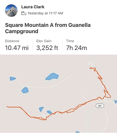
Elevation Gain: 3252

I’m going to summarize, but if you’re interested in details you can read the entire story here
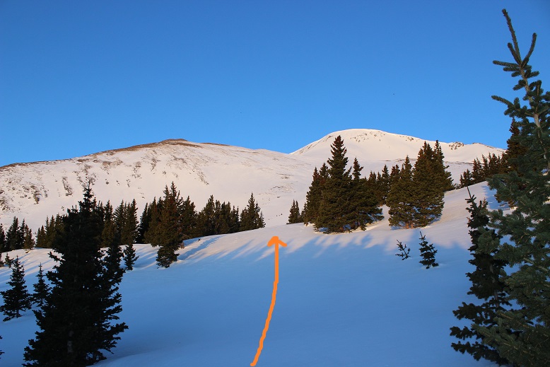
After yesterday’s summit I drove 4 hours to the next Trailhead, slept, woke up at 1:30am to 3 inches of snow, snowshoed for 3 miles, postholing up to my knees the entire way, came across an avalanche and crossed it, came to a second one that was impassable in the dark and was forced to turn back. I postholed 3 miles back, got back to my truck while it was still dark and it wouldn’t start, so I scraped 3 inches of snow off the hood, lifted it, fiddled with the battery and was on my way to the next trailhead when I saw a sign for Hanging Lake. I decided to turn my day around and check off an item on my bucket list at the same time! Now: off to my next adventure!
I arrived at the Guanella Pass Campground to a full parking area at 11am. I noticed a group ready to leave, so I waited around and snagged their parking spot when they left.  I was hungry from this morning, so I quickly boiled some water and prepped a Mountain House meal.  While I waited for it to cook I pulled up the weather report I’d saved from earlier in the morning (when I had reception at a truck stop down the road).  Wow.  The forecast had changed quite a bit in the two days I’d been mountaineering.  The weather for tomorrow was now very similar to the weather right now, except 20 degrees cooler.

I took a bite of the meal while I considered what to do. (Yuck! At this point I was forcing myself to eat, but this was really bad.  It tasted… old).  It was 11am, and while I’d already done 10 miles and 3000’ of elevation gain today and another 6 miles and 3600’ of elevation gain yesterday, I was feeling pretty good.

OK, so looking at the forecast I can either head out now while I’m tired but the weather’s warm, or try to get some sleep (I don’t have much luck of that at trailheads) and try tomorrow after I’ve “rested”. But it’ll be cold and windy tomorrow.  Both days had 44mph winds.  I took another bite (disgusting!) and threw the meal away.  Those things are nasty!

I made the obvious choice: I was the last one on the trail at 11:15am.  I figured I had a 50/50 shot at the summit, but I’d make that choice when I made it to the upper trailhead and could see the conditions/weather first hand.  The road was covered in many feet of snow and since it was late in the afternoon I needed snowshoes immediately.  I didn’t take them off the entire hike.

2

3

The views of Bierstadt, the Sawtooth, and Evans were beautiful, dusted with snow

4

It wasn’t lost on me I was the only one hiking up the road, while I saw at least a dozen hikers on their way down, finished with their hikes (presumably of Bierstadt). Check out the snow in the parking area!

5

I followed a hikers trail to the Bierstadt trailhead, then crossed the road and found the trailhead at the top of Guanella Pass.

6

7

The trail starts directly behind the bathrooms. Looking at the current weather and trail conditions and measuring my present state of fitness I decided the hike was a go.  I searched my pockets for the topo map and route description I’d put together a few days ago and came up empty:  I’d left them on the dash of my truck.  Drat.  Well…. I was going for it anyway.

Here’s the route I took

8

Those willows though! There are wooden bridges in the area and presumably a trail, but with all the snow I wasn’t able to find either of them.  So I trekked through the willows and headed towards Square Top, mindful not to trek too fast lest I fall into a willow hole.

Did you know there’s a trick to hiking through willows in the afternoon when the snow’s soft? It’s quite simple really:  Figure out which way the wind blows and hike behind the individual willows. If you hike on top of them you’re violating LNT, so try not to do that (even though that works too) but if you hike behind them you hike where the snow has piled up and is more compact.  In front of the willows there’s an air pocket from the snow blowing in the wind and you’ll sink.

So I trudged across the willows, only sinking up to my waist 4 or 5 times and aimed for the ridge.

9

Every so often I’d look back for a frame of reference, trying to find the bathrooms and remembering my intended route back.

10

Before getting to the ridge there are several small hills to climb over, which had more snow and were steeper than anticipated

11

Eventually I came to this sign, and something in my head said to go left here, instead of straight (must have been the prepping I did earlier, because this was correct).

12

Just for reference, directly behind the sign is a small lake.

13

So I turned left at the sign and continued to a small saddle and turned right and began my trudge up the ridge

14

There were no signs, and no cairns (I’d been expecting them?)

I just kept heading up and up and up, and actually started drinking water. For me, this is never a good sign.  When I start drinking water it’s just the beginning of everything going downhill.  But I hadn’t eaten all that much (2 spoonfuls of that Mountain House Chili and the same this morning of an egg and bacon MH ‘meal’) and I’d hiked a lot in the past 24 hours, so I figured I should drink.

I reached another small saddle and had a pretty good view of the cornices below Square Top

15

From here is where I started struggling. The wind picked up and so did the elevation gain. I kept sipping water and I even ate some dried strawberries I’d brought along (those were fantastic!).  No worries though, I could see my path to the summit and just had to keep trekking.  From my views earlier I knew this wasn’t the summit…

16

But I thought surely the summit was just behind this bump, right? Oh look, a cairn!  That must be the summit behind…

17

I was moving slowly now, and my quads were burning (as opposed to my calves yesterday). I’d take 50 steps, and then stop to rest for 10 seconds, and then continue on

18

I made it to this bump, thinking surely this was it, but nope, another hill in the distance! Ouch!  Ok, now I was down to 30 steps with 10 seconds to breathe.  And lots and lots of sips of water.  I. Was. Almost. There!  I just had to keep pushing on.

19

I made it to the top of this bump and wanted to curse! Why, oh why was the Lord punishing me?  There was another bump and a ridgeline and another summit in the distance.

20

Well, there was nothing for it. I continued on, thankful at least the intense elevation gain had lessened.  Unfortunately the wind was insane here, and blowing directly at me.  Oh, and that wasn’t the summit either:  This is the summit

21

Also, it includes losing elevation a bit and then regaining it back. Joy.

22

23

Now, this wasn’t a particularly challenging hike, but I was tired to start, and I seriously worked for this ‘easy’ summit. It was cold, windy, and I was sore all over.  It was all mental and totally worth the effort!

24

I’m not sure what time I summited because it was too windy/cold for me to take out my phone, but I did get a few summit photos with my DSLR

25

I’d originally kind of wanted to make this a loop with Argentine and Wilcox, but I’d already done Argentine Peak earlier this year, and after looking at the elevation gain/loss involved today, this was a big nope.

26

I decided to turn around and make this an out and back hike.

27

That wind never let up, and here it knocked me down a few times

28

(Looking back at the final push to the summit)

29

I made it back to where I’d originally thought the summit was and got a good view of the route I took up

30

The route down was steep but felt much better on my quads

31

This hike was slow going. I wasn’t setting any records today, and I was going slower by the minute.  And that wind was causing my nose to run and run and run, making it raw, raw, raw.  Ouch!

32

The wind was bringing in a storm. Here you can see the tracks I made on my way back down to the willows and eventually the upper trailhead area.  One of the good parts about descending so late in the day was the snow had begun to re-freeze in the willows area, actually making it firmer than it was on my trek in.

33

34

When I made it to the Guanella Pass Trailhead I knew I only had less than 2 miles left to go, but I was exhausted. I followed the road back down to my truck, trying to beat the snow.  I lost, and it snowed the last mile of the hike.

35

That last mile was brutal. My whole body was screaming for me to stop, but it was snowing and I was almost done and stopping was not an option.  I did allow myself to crouch down a few times and grunted audibly as I stood up again (I know better than to rest like this, but it felt so good!).  During this time I kept telling myself 2 things:  I could do this, and there’s a bottle of Knob Creek waiting for me in my truck.

I made it back to the campground at 6:45pm, making this a 10.5 mile hike in about 7.5 hours (But I’d like to add in the past 36 hours I’d done 10,000’ of elevation gain in 26 miles, so my body had gotten quite a workout in the past day and a half).

36

Relive Video

When I got to my truck there were 2 other vehicles in the parking lot, but they looked like they were from tours intending to be out in the mountains overnight.   I took a quick wet-wipe bath and changed my clothes in the back seat of my truck.  As I was doing so it felt so good to just lie down.  Amazing. Euphoric even.   It’s been a few months since I’ve tired myself out this much on a hike and I just wanted to enjoy the feeling.  I was numb all over, my body was humming, and I hadn’t even had a shot of whiskey yet.  Or eaten.  Oh yeah, I needed to do that.  So I finished getting dressed and looked at what I had:  The uneaten Mountain House meal… 2 uncooked Mountain House meals, a sleeve of saltine crackers, and some Ritz crackers.  I was seriously missing my beef jerky!  I make an amazing beef jerky that’s my staple on these longer hikes, but my kids raided it and I didn’t have any to bring with me this weekend.  Ugh.  Ok, Whiskey and crackers it was for dinner.  I had 2 shots of whiskey, 2 Ritz crackers, and fell asleep.  Only to wake up at 12:30ambecause of the wind, needing to pee.  I sat there for 10 minutes trying to fall asleep but it was no use.

OK, I had options again. I could go outside where it was windy and snowing and jump back in my truck, and then spend the next 4 hours trying to get back to sleep. Or I could just get up and drive the 2 hours home now, and take a bath and be in bed by 3am.  This meant I’d need to work out tomorrow (a personal rule of mine) but it seemed the better option.  I was on the road and home by 2:30am, very pleased with myself.  This is why I like hiking solo:  I can make these kinds of decisions (like pushing on to the summit or leaving in the middle of the night) and no one has to agree or be put out by them.  The only downside?  Once I made it home I couldn’t sleep… so I started brainstorming better meal ideas.  I’ve got to eat better so I don’t crash, and Mountain House isn’t doing it for me.  Apparently I’d rather starve…

Change of Plans… The Cathedral and Hanging Lake Story

1

After climbing Lackawanna yesterday I drove 4 hours to Ashcroft and arrived at 1pm. The winter closure started here.

2

My intent was to spend the night, wake up early and attempt Cathedral Peak in the morning. There were tons of vehicles in the lot when I arrived, and groups getting ready to leave for the day.

3

This is a popular trailhead as a starting spot for many winter activities (mainly skiing and snowshoeing, not necessarily mountain climbing).  I asked about conditions and was told the snow was firm in the morning and soft in the afternoon (lol!).  I saw some snowshoers with a guide ready to go out for a short trek (dressed in jeans) and several groups on hut expeditions.

The bathroom was open but dirty, so I got out my Clorox disinfecting wipes and quickly cleaned it so I could feel better about using it over the next few days.

4

It was still early but I decided to make some Mountain House Stroganoff for dinner and go over my notes for tomorrow. There wasn’t any recent information on this peak, and in fact not much information at all, so I wanted to be prepared.  I checked the weather report I’d saved on my phone and calculated start times.  I wanted to be on the trail no later than 2:30am so I could potentially make it to the Lake by 5am, with a summit between 5-7am to avoid the warming of the snow and avy conditions.

As I was sitting there, all I could think of was how beautiful the mountains were, and how perfect the weather was right now. It was probably spectacular here in the fall.  Even though I’d hiked a centennial already today I wanted to be out there hiking again.  I gave it some serious thought but in the end knew the snow at this time of day would be too soft, so it wouldn’t be worth the attempt anyway.

The sun was already warming up my truck and I began to feel sleepy. By 3pm I’d decided to try and get some sleep because I was waking up super early to hike tomorrow and needed my rest after this morning’s climb.  At 5pm I was woken up by an intense thunderstorm but was able to fall back asleep.

5

My alarm went off at 1:30am and I woke up to 3 inches of snow outside but check this out: I was warm!

6

I’ve never been warm sleeping at a trailhead, but for some reason I was this morning, even though it had obviously snowed. I didn’t want to get up but I also knew I didn’t have a large window of opportunity for this climb, so I had to get going.  I was on the trail by 2am, following Castle Creek Road.  After a little over a mile I saw a gate and a sign indicating I was to take this trail

7

I exited the road, climbed over a 5 foot tall ice wall and landed face first in the snow. Boy, was I glad no one was here to see me do that!  How embarrassing!  I picked myself up and in the 3-4 feet of snow (in the dark) struggled to get on my snowshoes.  This was going to be an interesting hike!

For the next mile and a half I postholed up to my knees in the snow, doing my best to route find a class 1 trail that hadn’t been hiked in quite a while, buried under several feet of snow. I came to an avalanche area.  After a few minutes I found my way around it, but quickly came to another one… or maybe it was a continuation of the first?  I’m not sure, but this avalanche was very recent and in the dark I couldn’t find a way around it.  This was a 15-20 foot wall of compacted snow with tree trunks and branches sticking out from every angle.

I had 2 options: Wait for daylight to see if I could find a passable route, or cut my losses, head back to my truck and drive to the next trailhead. I knew if I waited until daylight I wouldn’t have enough time to complete or even attempt the climb past the lake, so I decided to just head back.  That postholing had sure worn me out!  I was incredibly tired, but it was probably due a little bit to yesterday’s elevation gain/climb as well.

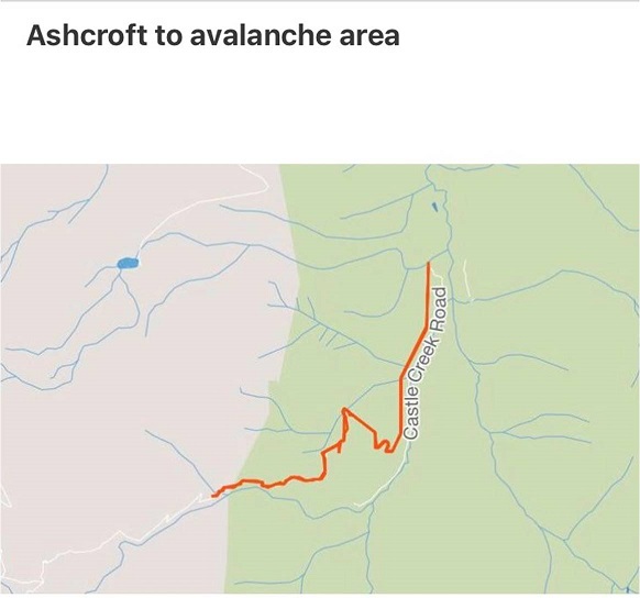
I hiked back to my truck as the moon rose over the mountains and in and out of the clouds. I no longer needed my flashlight and wondered to myself if the moonlight would have made a difference in my navigating the avalanche?  It was 5am when I made it back to my truck.  I stowed my gear and hopped in, intent on driving to the next trailhead for the peak I’d intended to hike tomorrow. For reference, here’s where I encountered the avalanche

8

My truck wouldn’t start. Drat!  I got out, cleaned 3 inches of snow/ice off the hood of the vehicle and popped the hood.  After fiddling around with the battery for a bit I was able to get the truck started and I was off.  This had certainly been an interesting morning!

As I was driving to the next trailhead I saw a sign for Hanging Lake. This hike has been on my bucket list for years now, but it’s so short and so far away it hasn’t seemed worth the drive.  Well, today I was right here, the new reservation system begins next week and I’ll most likely not go if I have to reserve a spot.  It seemed my day was already shot and I wanted to turn it around, so I took the exit for Hanging Lake.

I arrived to a half full parking lot at 7am. (I’ll apologize here: My camera was fogged up due to the change in conditions from snow to warm, so the pictures came out a little hazy).

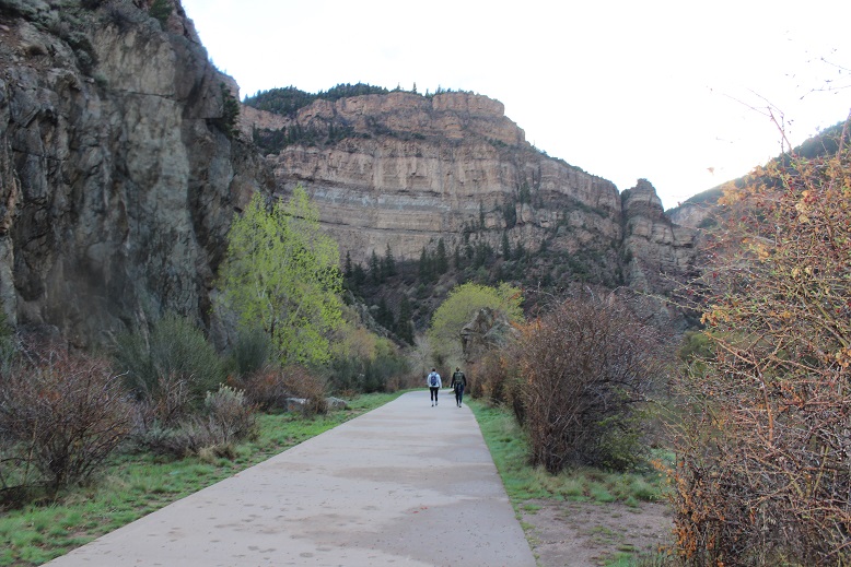
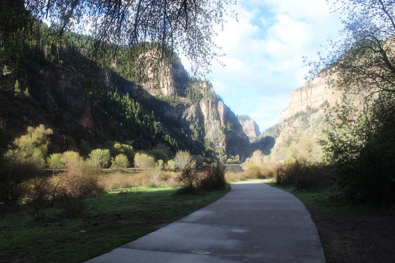
The trail is well marked and easy to follow. I walked along the river on a well kept paved trail for about half a mile

9

And at the official trailhead turned left

10

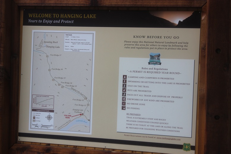
There’s a sign with some rules and information

11

As you can see from the sign, there are 7 bridges to cross.  This hike can be summed up in a few simple pictures:

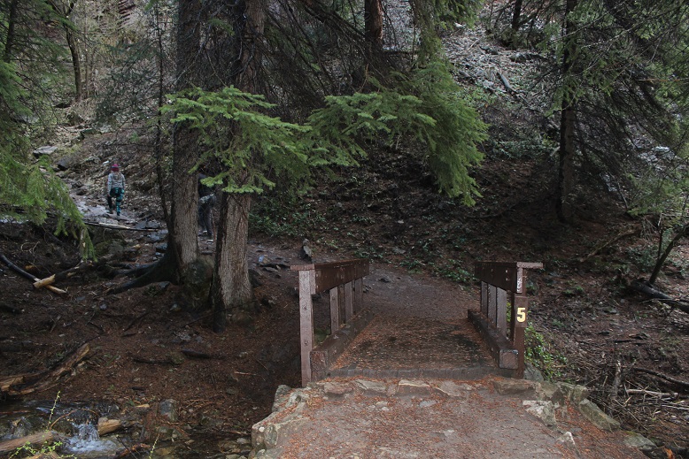
Bridges:

12

Stairs:

13

And signs every ¼ mile or so letting you know how far you’ve gone:

14

There were a few short sections of snow/ice, but traction would have been overkill

15

There were also a few waterfalls along the way

16

And signs of a recent avalanche

17

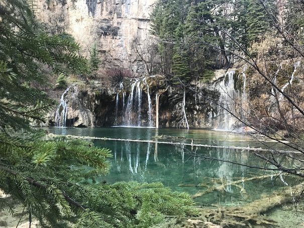
After a mile of hiking up 1000’ or so in elevation I came to a steep set of winding stairs and arrived at Hanging Lake.

18

Wow! Talk about beautiful!

Hanging Lake: Video

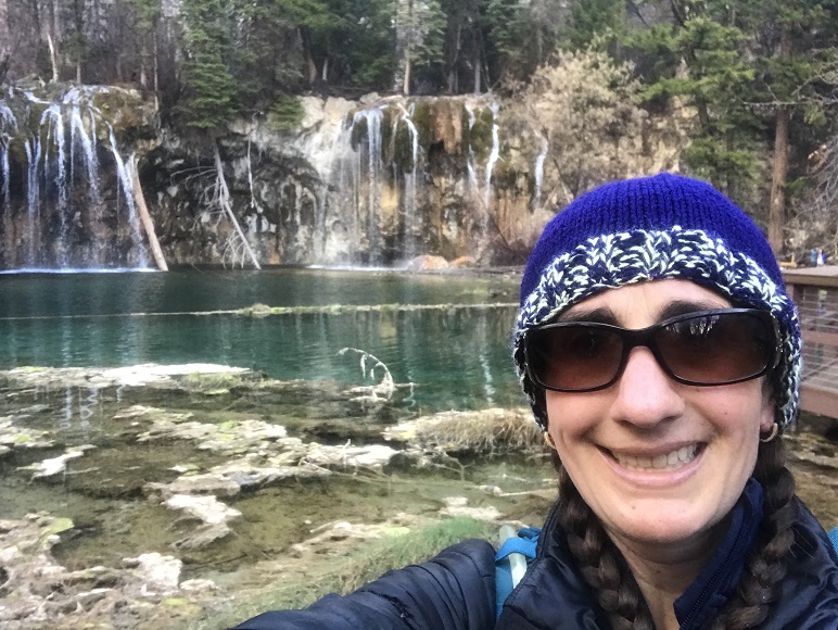
I took a selfie to prove I was there

19

And a few pictures of the lake itself (it has fish!!!)

20

21

I saw a sign on my way in for Spouting Rock and decided to see what that was all about. It was a 2 minute walk up more steps to an area just above Hanging Lake.

22

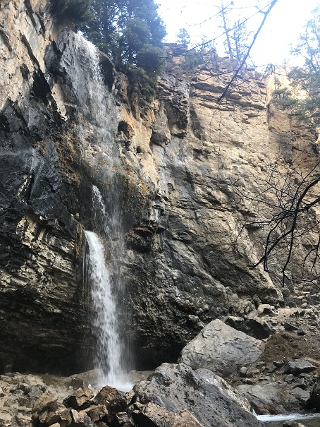
Spouting Rock is a waterfall.

23

The hike back down was very quick. The only drawback was navigating through all the people on the trail!  This is a very popular hike, and on a Saturday morning the last weekend before the reservation system started quite busy, even for 8am.

24

I made it back down to the river and followed the sidewalk back to the parking lot

25

There’s a nice bathroom there

26

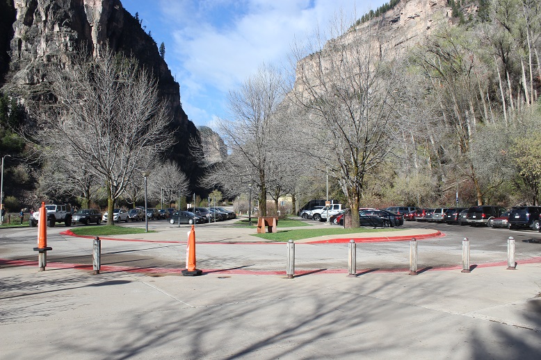
And the parking lot was full!

27

I made it back to my truck a little before 8:30am, making this a 3.5 mile hike in 1.5 hours.

28

Relive: Video

The hike had totally been worth it! Bucket List item checked off!  I was now in a much better mood, and ready for my next adventure!

Lackawanna – 13,826

1

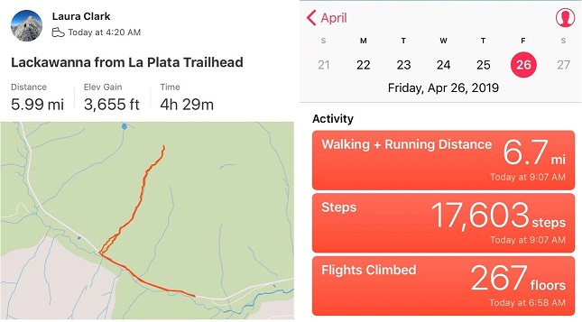
RT Length – 6 miles

Elevation Gain – 3655’

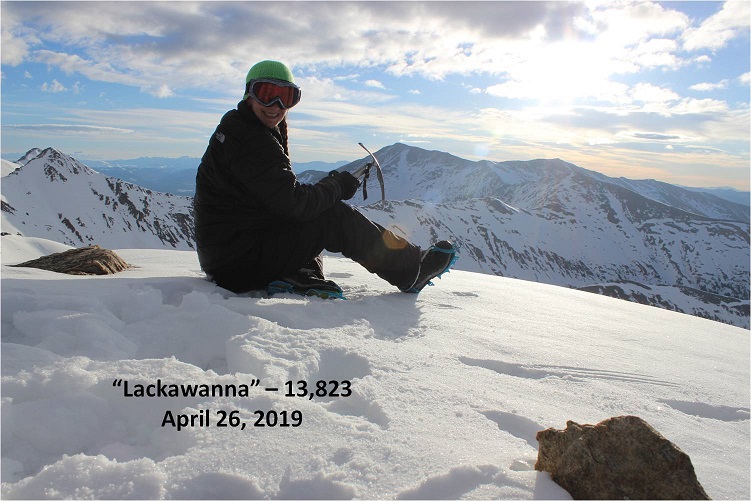
I made it to the La Plata Trailhead a little after 4am and was surprised to see someone getting ready to hike La Plata. As I was getting my gear together I heard him trek off in his snowshoes.

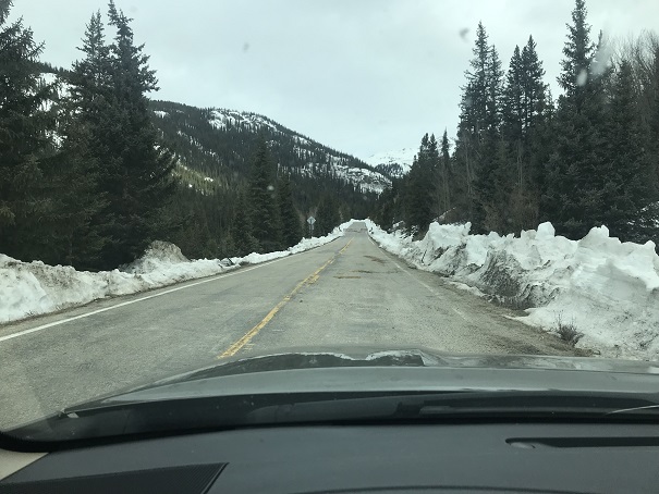
I started at 4:20am, excited to find the 82 open well past the La Plata trailhead. I briefly considered moving my truck, but quickly thought this wasn’t a long hike anyway:  It would be nice to get in a few extra miles to make this hike a little longer.

2

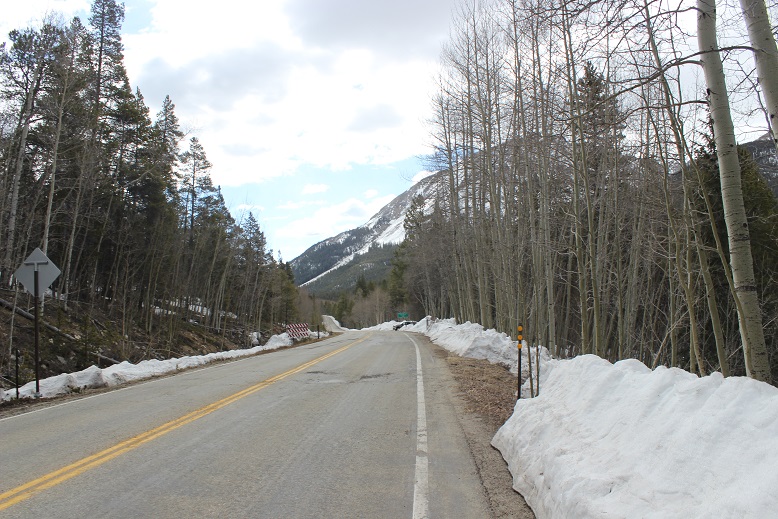
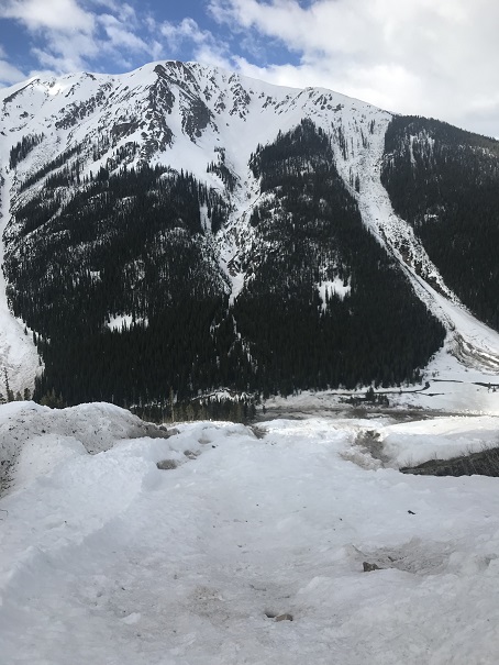
The road was open, but there wasn’t a lot of parking available because of all the avalanche debris lining the roadway. Everything that could slide in the area apparently had slid at least once.

3

On a positive note, everything smelled like fresh cut pine. I followed the road for a mile in the dark and then turned right to begin the climb.  This area had seen an avalanche as well, and even though they weren’t completely necessary at this point I put on my crampons and left them on for the entire hike.  In the dark navigating the debris up the avalanche slide felt daunting, but in the light of day it looks pretty easy. Here’s the route I took

4

The gully was steep and filled with snow, so I just kept to the center and followed the gully. Even though this area had avalanched, as I neared the top of the gully I discovered it was loaded with snow ready to drop.  I didn’t want to be here when the weather warmed up today!

5

The sun started to rise, and at about 13,000’ I started using my ice axe, following the center of the gully.

6

7

The steepest part was just below the summit ridge. Here is where my ice axe proved extremely useful and my calves started screaming.  I just kept crawling forward, intent on summiting before the weather warmed the snow.

8

At the summit ridge the terrain became much easier. I stood up and walked toward the summit bump

9

This part was easy! There was a small section to climb

10

And I was on the summit by 7am.

11

Summit Video

The weather was absolutely perfect! It wasn’t warm, but it wasn’t cold either, and there wasn’t any wind!  I was able to get a video on the summit, and actually stayed and enjoyed the view for a while

12

13

OK, now it was time to head down.

14

In the light of day I could appreciate just how steep the gully was

15

16

17

About halfway down I paused to take a video of the water I could hear flowing under the snow below me. Yep, it was time to get off this waterfall

Gully Video:

I could see the effects of the avalanches all around me

18

After making it down the gully the last part to the road was easy, I just navigated my way around the solid ice towards the road.

19

From the road looking up you can see I just followed the avalanche slide up the gully

20

I made it back to my truck at 8:45am, making this a 6 mile hike/climb in 4.5 hours.

21

Relive: video

I decided to see just how far the 82 was open, so I drove down the road a bit in my truck. I made it 2.5 miles before the next closure sign, and saw evidence of multiple avalanches along the way.

22

With my morning over at 9am I decided to drive 4 hours to the next trailhead and rest a bit before my next adventure…


Rafting and Rappelling – Royal Gorge

1

I have mixed feelings about this river. I’ve been rafting here at least a dozen times, but that one time in 2009 still haunts me.  I’d been invited out on the water today (with the added bonus of some potential rock climbing) and was determined not to think about what happened in that icy river 10 years ago.   Instead I was going to focus on today’s experience.

I didn’t even realize you could go rafting in Colorado in April, but apparently it’s a thing! Because we were rafting we took 2 separate vehicles and met at a gas station on the way.  A local 4H club was having a bake sale, and I couldn’t resist (no, I didn’t but cookies, but left a donation).  4H and FFA bring back so many awesome memories I couldn’t not donate, even just a little bit. Oh, and they were totally taking over that gas station.  There were probably 15 students there with their parents.  They made an impact, and the belt buckles and handmade signs were a nice touch.

In any event, we parked my truck at the end of our intended route and drove together to the launch area. I breathed a sigh of relief when I realized we were nowhere the crash site (it was miles upstream).  OK, I could completely relax now.  Even though I try not to, on past trips I’ve been glued to the water to see if I can find where we landed.  Funny thing, my success rate in actually finding the spot is about 50/50.

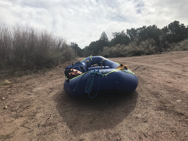
First things first: setting up the raft.  To be honest I didn’t do much work, but it seemed straightforward.  There’s tons of gear you need (or hope you don’t need) for a day on the water.  After setting up I stayed by the raft and just relaxed and did yoga for a bit while he parked his car in a lot a few minutes away.

2

To my surprise it was a beautiful day; A bit chilly when the wind blew, but with the PFD on it wasn’t too bad. My feet were cold, but that was to be expected.  I was only splashed by the water a few times, and tried to make it fun.  Today’s trip down the river was more serene than any other trip I’ve taken, most likely because I’m usually in charge of 25 excited girls and the river’s flowing faster.  It was nice just floating on the river, my friend doing most of the work (which I felt guilty about).   On the downside the water could be loud at times and I had a hard time hearing and missed a few strokes (whoops). There were dozens of geese and lots of small birds on the water’s edge.  One of my favorite parts about being in nature is seeing wildlife.

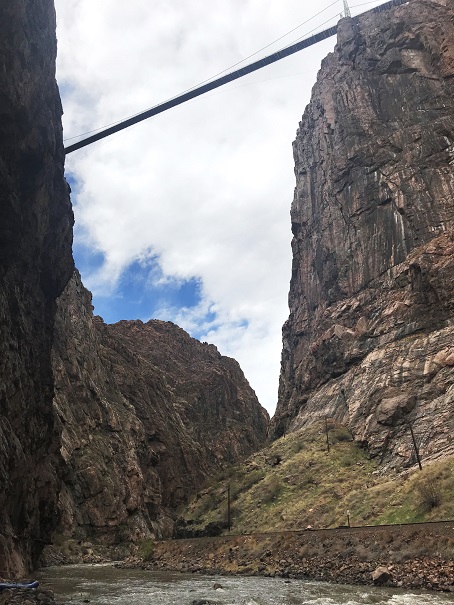
After a few hours of rafting we stopped directly underneath the Royal Gorge. I’ve never actually been to the Royal Gorge (something that needs to be rectified soon).

3

Our intention was to get some photos of me climbing. My main intention was to learn.  I want to solo a few Centennials this summer that include rock climbing, and while I’ve climbed for years in a gym and many times with groups, I’ve never been solo, or even in charge of setting up my own equipment.  That means I have no true idea what I’m doing, and that needs to change.

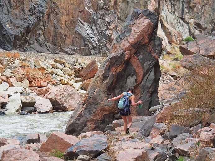
I found a friendly rock to hide behind and changed into my climbing gear (this was tricky; as we were directly under the viewing platform of the Royal Gorge, and I’m sure there were tourists with binoculars up there).

OLYMPUS DIGITAL CAMERA

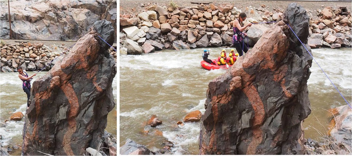
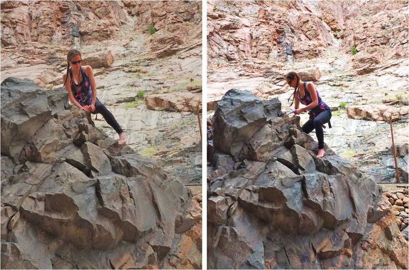
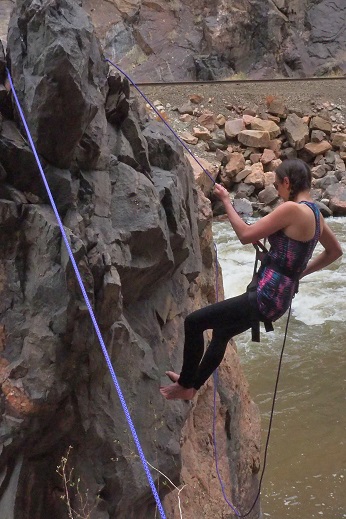
I was given a quick briefing about how to secure ropes that astonished me in its reliance on trusting the strength of rocks I’ve been taught not to trust, and then started climbing. I’ve never been climbing without shoes before, and it was trickier than I’d imagined.  I’ve also never self belayed, and I was clumsy to say the least.  The rope kept getting longer than I wanted it to, but I wasn’t sure how to quickly shorten it.

Climbing up was pretty easy. The only difficult part was stopping for pictures.  I like to keep moving, and I wasn’t too steady staying in one place.  I felt nervous and unsecure, and my harness was definitely too tight.

5

OK, after climbing up it was time to maneuver around the rock so I could rappel down. I like bouldering, and this was exactly what this was (except for the rope and harness continually getting in the way).

6

I started rappelling and then stopped in place for a picture.

OLYMPUS DIGITAL CAMERA

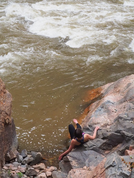
All was going well, or at least I thought it was, as staying in one place was working. But as soon as I tried to rappel just a little bit something went wrong:  I started sliding and couldn’t stop myself.  Believe me, I tried, and I have the rope burns on my fingers to prove it.  Luckily I was able to slow myself down so I didn’t hit the ground too hard, but I was immediately consumed by tons of negative and unproductive emotions.

I was embarrassed I’d slipped, I wasn’t quite sure how it’d happened, and yes, I was in a little bit of shock from the whole experience. Now I felt very silly for not bringing my helmet (I’d left it in the car… on purpose).  I don’t fail well, but need to get over that if I want to accomplish my goals.   I still don’t quite know what I’m doing when it comes to solo climbing, and this incident proved that.  I’m going to need more practice before tackling this myself.  I wanted to get up and try again, but was advised otherwise.  So I walked down to the river to cool my burnt fingers in the water.

OLYMPUS DIGITAL CAMERA

We did have time to hang from some rocks though….

9

Note to self: Now that cookie season is over I need to work on toning my arms.

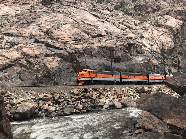
Oh, and it was fun to see the Royal Gorge train go by. Everyone waves at you and you’re kind of supposed to wave back…

10

We gathered up our gear and rafted back down to my truck. I was amused to learn we just tied up the raft and left it on the water while we drove to get the other vehicle.  This seemed pretty trusting to me, but I guess the rafting community’s pretty honest?  Deflating the raft and putting it away proved similar to taking down a tent.  A heavy, canvas tent made out of rubber.  It was much later than I’d realized (wow!  Was it really already 4:30pm?) and I’d promised the girls I’d be home by 6, so I drove a bit faster than I should have home.

OK, so lessons learned today:

  • You can raft the river in April
  • It wasn’t as cold as I’d expected on the river in April
  • A canyon is wider than a gorge (duh…lol!)
  • I’m better at taking photos than being a subject (this needs work!)
  • If your guide knows what they’re doing you can avoid getting wet (but it’s probably more fun to tackle the rapids instead of glide through them. Still, I appreciated staying mostly dry)
  • I need to do some research and practice on how to set up webbing safely (I’ve tried this before and came up empty, so I’m going to have to search again)
  • I need to buy webbing (maybe on my trip to get a new backpack?) and figure out exactly how much I need
  • Self belayed rappelling is not my strong suit. I need to practice, preferably in a place where a fall won’t be too tragic.
  • I may need a thicker and longer rope (mine will hold me, but it’s slippery… maybe gloves?)
  • I need to develop more patience with myself
  • I need to fail faster and not beat myself up so much when I do
  • While I feel like I got the perfect amount of sun, sunscreen is my friend and I can’t forget that
  • Knowledgeable and patient friends are invaluable
  • I need to visit the top of the Royal Gorge

New Mexico Highpoint – Wheeler Peak 13,161

1

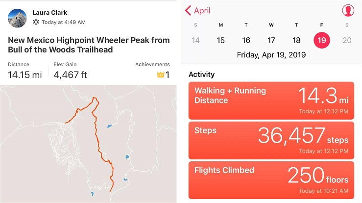
RT Length – 14.2 miles

Elevation Gain – 4467’

The Colorado winds were high so I decided to head down to New Mexico this week to do some highpointing. Taos is actually closer to my house than many Colorado peaks, so the 4 hour drive wasn’t too demanding.  In fact, it was kind of fun.  When I made it past Ft Garland I saw a road sign indicating there were bighorn sheep in the area.  To my surprise I immediately encountered a herd of bighorn sheep standing along the side of the road.   A few minutes later I saw a sign warning of cows, and wouldn’t you know it?  Cows on the road.  The same thing happened with the deer and elk warning signs, and a few minutes later, even horses!  I hadn’t realized there were wild horses in the San Luis Valley, but yep, there sure are!  With all this good luck with animal sightings I kept hoping to see a sign indicating buffalo or elephants or zebras were in the area, but alas, wild horses were about as exotic as it got.  Kudos to the group that placed those signs so accurately.

2

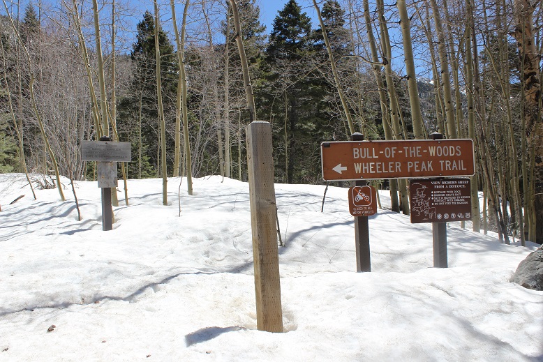
I made it to the trailhead at 4:45am and was on the trail by 5am. Oh, and I did a terrible job parking (without realizing it). I actually made it to the trailhead about half an hour earlier than expected, and only recognized I was there because I saw the “Bull of the Woods trailhead” sign as I was driving by, so I backed up, parked, and was on my way.

3

It wasn’t until I was on my way down I saw there was a real parking area directly below where I’d parked. Oops!

4

The full moon was absolutely amazing! Unfortunately I wasn’t able to get a good picture, but it was so bright I didn’t need my flashlight.  I brought my snowshoes but didn’t put them on until I’d almost made it to treeline.  There was quite a bit of snow on the trail (4 feet or so) but the snow was consolidated so I was able to just walk on top of it.  There were also tracks to follow.

5

I could hear a stream to my right, but in the dark I wasn’t able to see the water. There were numerous trails criss-crossing the trail I was on, but as long as I kept hiking in the same direction (northeast) and aimed for the ridge I knew I was on the right track.  I stayed on the widest path, or what looked like the widest path.

6

I knew I was supposed to cross the stream at some point, but never saw a bridge. It turns out I crossed the stream without knowing it!  Here’s a look at the “stream crossing” from my way back.

7

Yes, that moon was full!

8

I made it to the Red River Canyon Overlook just as the sun was beginning to rise

9

10

At the overlook I turned right and followed the trail to the Bull of the Woods pasture (which didn’t resemble a pasture at all. Maybe it was the snow?)

11

12

The footprints stopped, so I was breaking trail from here on out. I got lost a few times trying to stay off private property, but there was so much snow it was impossible to know where the trail was on the mountain.  (Hint, go left)

13

I stopped and put on my snowshoes and followed the ridge, making my own trail.

14

The section after cresting this hill was much steeper than it looks. I had to swing around to the right in order to safely climb through the snow.  Here the crampons on my snowshoes came in very helpful.

16


Until the snow just kind of stopped. I knew more snow was coming, so instead of taking off my snowshoes I followed the faint trail of snow around Bull of the Woods Mountain. Here there was either very little snow, or large, steep drifts of 20+ feet.  I was glad to have my ice axe.

17

I rounded Frazier Mountain and could smell sheep. I looked all around, but not seeing any figured they must have passed the area recently (but that smell was strong!).  I was now presented with the La Cal Basin, which included a 300 foot loss in elevation.  This is also where there was quite a bit of snow, which I decided to take advantage of.  I needed to cross the basin, avoid those dicey avalanche areas, and then re-ascend the switchbacks on my left.

18

19

Crossing into the basin was a bit sketchy

20

21

22

And I was glad to make it to the switchbacks on the other side. Here there wasn’t much snow, so in keeping with my goal of not taking off my snowshoes (just to put them back on again) I stuck to the snow lined trail.

23

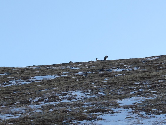
About halfway up the mountainside I saw a few bighorn sheep

24

And when I looked across the ridge I saw even more!

25

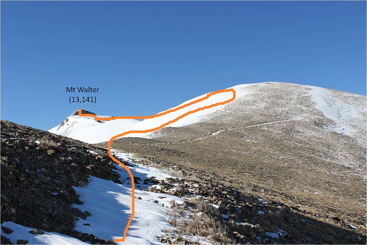
From here I saw what I thought was Wheeler Peak, but it was instead Mt Walter (Wheeler is beyond). I stuck to the snow to make use of my snowshoes

26

Sticking to the snow looked like this

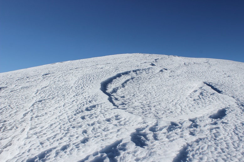
27

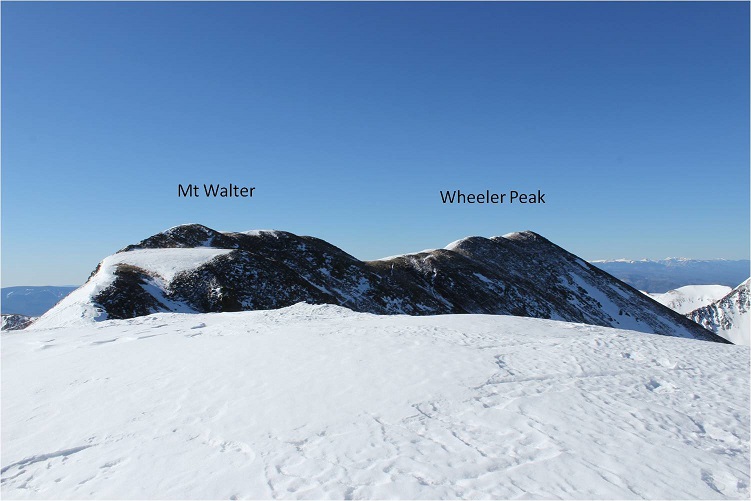
And from the top of this point (13,045) I could see Mt Walter and Wheeler Peak. Sticking to the ridge (and the snow) was the way to go!

28

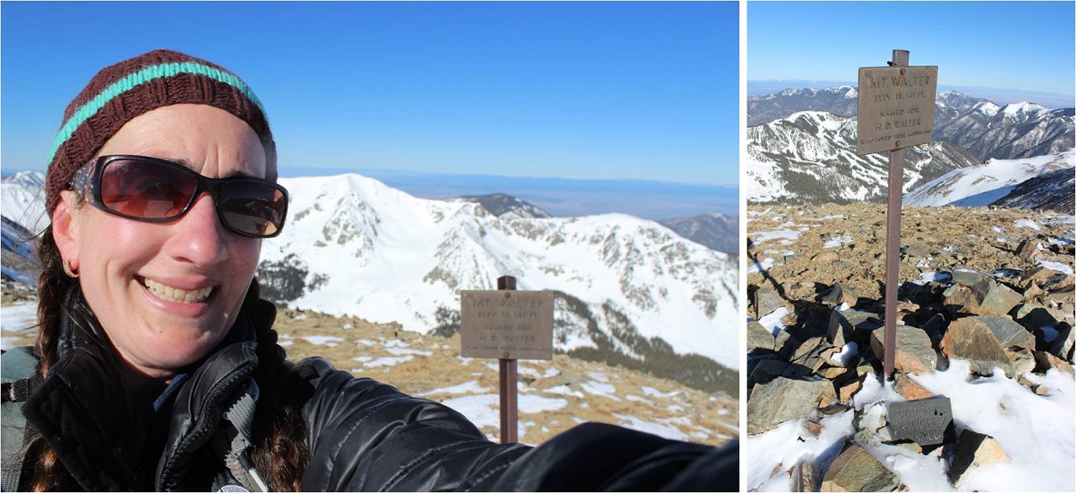
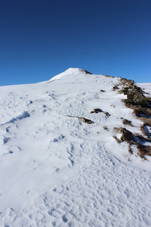
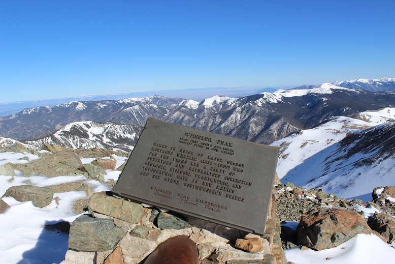
I passed Mt Walter and took a few quick photos of the signs and a selfie to prove I was there.

29

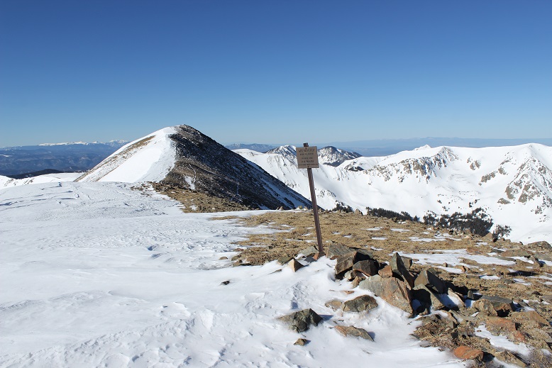
From here you can clearly see the summit of Wheeler Peak

30

Once again, I stuck to the ridge

31

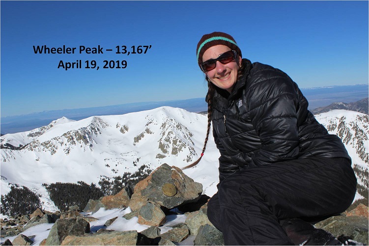
And summited at 8:45am

32

33

Here’s the Summit Video, which I’m excited to say is the first summit video I’ve been able to take all year! I’m so glad it was warm today and sans wind.

Video: Wheeler Peak NM

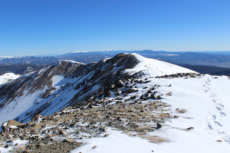
OK, time to turn back. Here’s what the route looks like back from Wheeler Peak… just stick to the ridge

34

35

Yep, lots of snow! I was glad to have my ice axe.   Snowshoes were a must the entire way back down.

36

I started crossing the basin again, and unfortunately the sun had warmed up the snow. Snow kept collecting under my snowshoes and I had to keep stopping to kick it off. I made it back to Frazier Hill and saw those sheep I’d smelled earlier (I KNEW they were there somewhere!)

37

Following the trail in the light of day proved much easier than in the dark, with the added bonus of being able to follow my snowshoe tracks.

38

39

I made it back to Bull of the Woods pasture and once again found footprints. Lots and lots of prints, both human and animal.

40

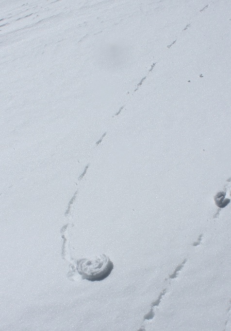
The only downside to the warmth of the sun (besides clumps of snow in my snowshoes)? Rollerballs the size of dinner plates

41

As I followed the trail back to the stream I was actually able to see the stream

42

I didn’t see anyone all day until I was about half a mile from the trailhead on my way back down. I talked with a gentlemen about the conditions on the trail. He said he’s hiked these trails for years and was surprised I’d summited today. He was even more surprised when I told him I’d started at 5am.  In fact, he didn’t entirely believe me.  I made it back to the trailhead at noon, and when I stopped my Strava tracker I was told I’d sent a new app record for completing this hike.  Pretty cool!  I’d hiked the 14.2 miles of 4467’ in elevation gain in 7 hours.

43

Just for fun, here’s the relive of my hike. Note: Obviously I summited today, yet the tracker shows my high point was just shy of Mt Walter at 13,139’ (not Mt Wheeler at 13,167’), which is one of the reasons I take what these trackers record with a grain of salt.  I’ve had people tell me because my tracker doesn’t show a summit that I didn’t summit.  I call those people summit snobs and unfollow them from my account(s).  No one needs that kind of drama in their life!

Relive:  https://www.relive.cc/view/2302667578

Oh, and the good news? I was finally able to get my New Mexico Starbucks mug in Taos!  I’ve been trying for years to get a New Mexico mug to add to my collection, but they’re always out when I visit.  Funny, the mug doesn’t mention aliens at all…

44

Also, the ski season in Taos is over, which was a real shame because there was so much snow! And, Taos is beautiful!  Majestic even.  I had no idea!