Today the weather was absolutely beautiful, but I had limited time (Cookie Booth at 2pm). I met up with Dave at the Red Rock Open Space North Lot for a hike through Red Rock Open Space and the Palmer Loop. I’ve hiked Red Rock Open space several times, usually sticking to the Quarry Trail. I knew it connected with Section 16 trails, but I wasn’t sure exactly how.
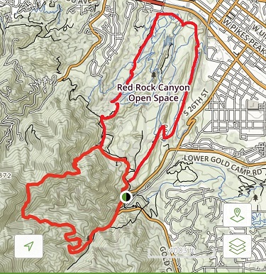
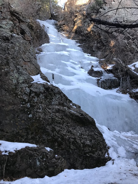
We started on the Mesa Trail, and took it to the Intenman / Section 16 trail connection. From there we followed the Palmer Loop for 5.5 miles, diverting only once to take the Waterfall Trail (out and back). The waterfall was completely frozen. I love frozen waterfalls!
The Loop eventually connected with Lower Gold Camp Road, which I found very interesting. I’ve been meaning to explore Gold Camp Road for some time now. We only hiked a small portion of the road, so I’ll need to come back to explore more. It’s fun how you can hike for miles and miles, only to end up on a road and near a parking lot, then get back on the trail to head back to the parking lot you originally parked in. I feel more familiar with the ‘other’ Red Rock Open Space and Section 16 trailheads.
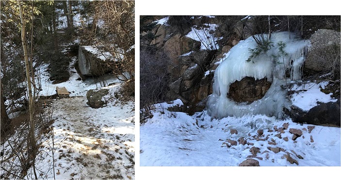
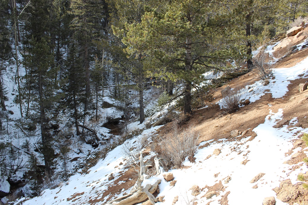
Parts of the trail (those in the sun) were completely dry and warm, which made for lovely hiking. Other parts, however, were in canyons and covered in shade. Those areas were icy, slippery, and very cold. Beautiful though!
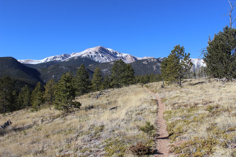
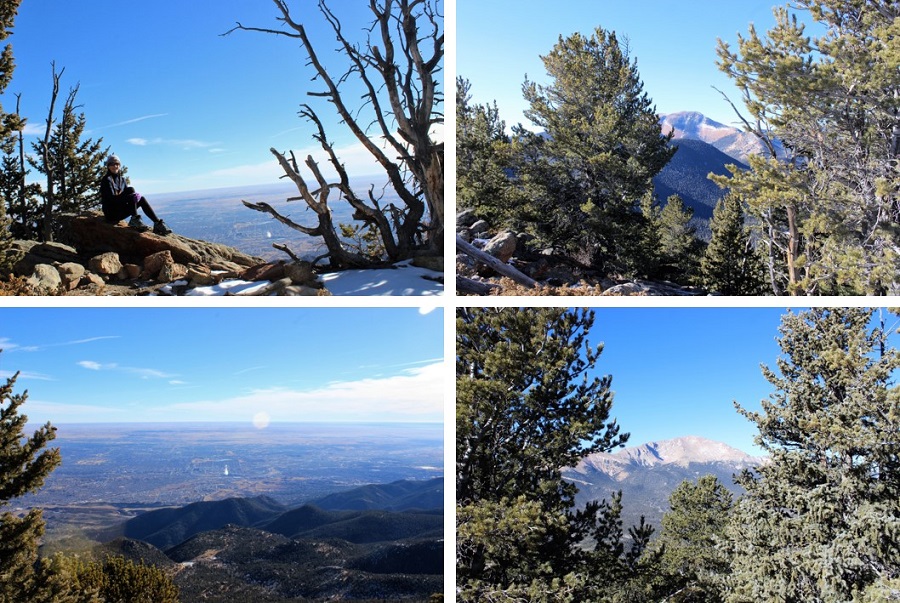
The final part of the trail took us on a hill with great views of Colorado Springs (and the landfill…)
I hiked part of the Heizer trail earlier this year when I was a bit rushed for time, so today I decided to hike it all the way to the Barr Trail.
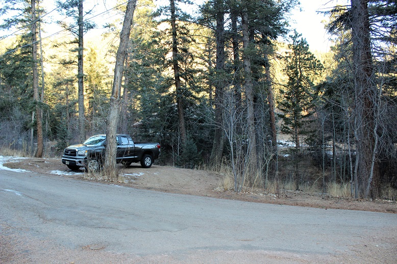
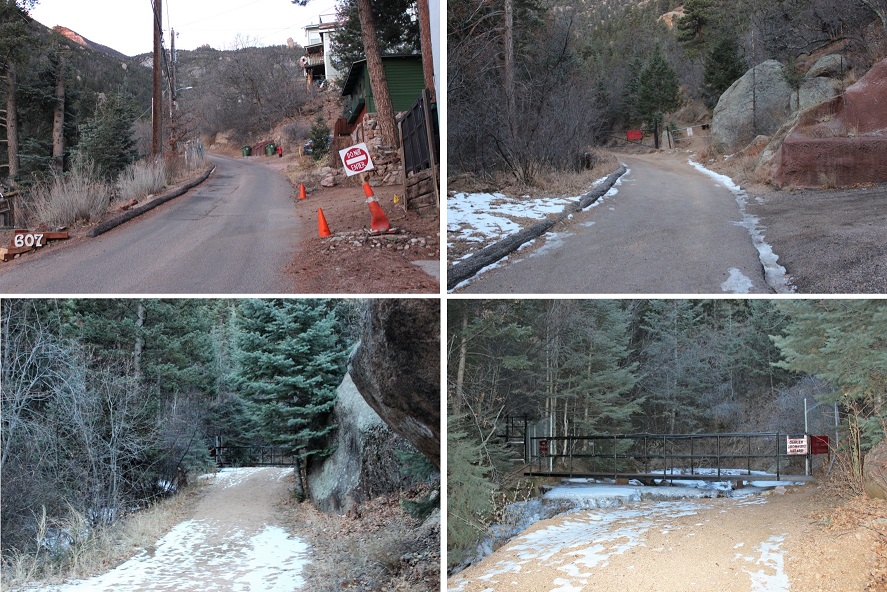
I parked just outside of Cascade Park (the ONLY place you’re allowed to park to hike this trail).
And began by walking down the street and up the hill to the left. Once at the top of the driveway, the trail starts to the left.
I began at 7am. The trail conditions varied from completely clear, to covered in snow, to covered in ice. I never needed microspikes, but they would have come in handy crossing a couple of small streams (I had them but didn’t want to take the time to put them on: I just looked for a safer route and slipped a lot but never fell).
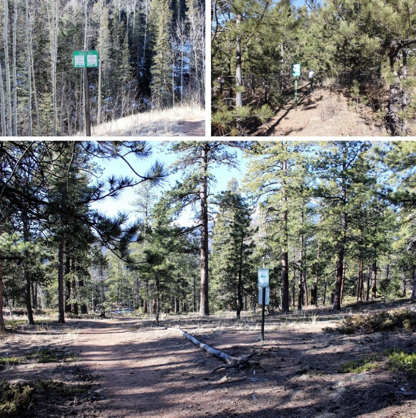
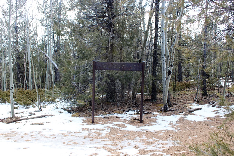
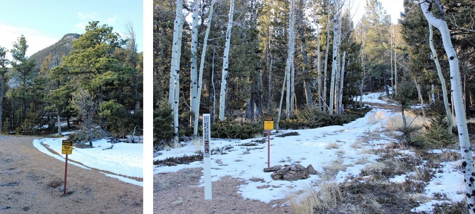
The trail had awesome signs indicating which trails were which. I LOVE these kinds of signs! There was no ambiguity: I could have hiked this route without a topo map.
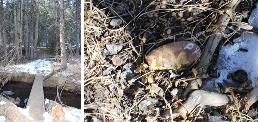
I hiked up the Heizer Trail, over Cascade Mountain (9387’) and down to the Manitou Reservoir and Trail 638. This is where I lost about 2000’ in elevation (to be gained again on the way back). There were tons of signs letting me know I was in a watershed area and to hike off trail. From here I crossed French Creek and saw a rock painted like a fish. I’m assuming this part of the creek usually has more water…
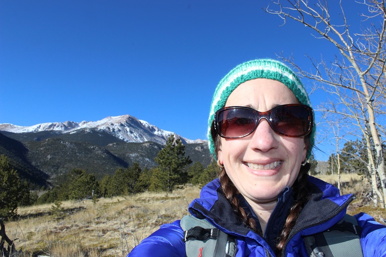
Shortly after crossing French Creek I came to some amazing views of Pikes Peak! It’s wonderful how many different views this mountain offers!
The view never gets old!
From here signs indicated it was another 2.5 miles to Barr Trail, but it seemed much, much longer than that. I got in a lot of good thinking. After what seemed like forever I was deposited onto the Barr Trail. Here:
Immediately I thought: NO WAY!!! This CANNOT be where I’m supposed to end up? I thought I was supposed to connect close to Barr Camp, and I knew just by looking at where I was it was still miles away! I decided to hike up Barr Trail to the nearest mile marker sign. They’re placed every half mile, so the most I’d need to hike to get an accurate accounting of where I was was only half a mile. I hiked almost half a mile and saw this sign: MM5!!!
I didn’t really mentally calculate the distance I’d be hiking today, and it wasn’t until I hit this part of the Barr trail it hit me just how long this hike actually was. Hiking in from Heizer Trail added on 3 miles each way to Barr Camp… that meant this was an 18 mile round trip hike! Hmmm… Barr Camp was still almost 2 miles ahead of me. I looked at the time: I still had an hour before I had to turn back, so I had plenty of time, but when I looked up and saw those clouds moving in I knew I had to turn back: those were snow clouds, and forming rapidly.
I sighed inwardly: Oh well, I’ve been to Barr Camp over a dozen times. My main goal today was to find out where the Heizer trail connected with the Barr Trail, and I figured it out: at about MM4.5 I still had a minimum of 3 hours of hiking ahead of me, and needed to get a move on to stay ahead of that snow.
The hike back seemed shorter than the hike in, but it still went on forever, through the woods and over several mountains. Here’s a view of Pikes Peak on the way back:
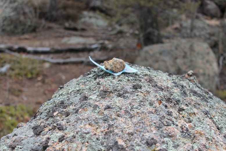
The 2000’ in elevation gain on the way back didn’t hurt as much as I’d anticipated, and when I got to Cascade Mountain I saw something I hadn’t on the way in: A small piece of paper under a rock on a boulder. It was a Chinese Drawing. I left it there for whomever it was intended and began my hike down the Heizer Trail. That part of the hike seriously took forever! Those switchbacks never end!
About halfway down the mountain I saw a couple with a dog, headed to Hurricane Canyon. I’ll probably head there next, as it looks interesting! They were the only people I saw all day (besides a runner along the Barr Trail heading to Barr Camp).
I made it back to my truck at 1pm, just as the first snowflakes were beginning to fall. I’d made the right choice to turn back when I did! Soon it was a whiteout, but I was in my truck, so all was well.
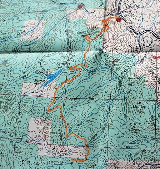
So today I hiked 15 miles in 6 hours with 4300+ feet of elevation gain. Here’s a map of my route:
I know this trip report won’t sound like a big deal to most serious 14er hikers, but I have Raynaud’s, which means my body completely shuts down in the cold. My fingers and toes turn white, they lose function, and I can’t walk, talk or use my hands or feet. No, foot/hand warmers don’t work. Neither does layering. The fact I was able to complete a winter 14er, even an easy one in an easy year, was a huge accomplishment for me. Here’s the trip report:
Devil’s Playground – 13,070
Little Pikes Peak 13,363
Pikes Peak 14,115
Elevation Gain 4300’
RT 14 miles, 7.5 hours
Starting from Crags Campground
Brought microspikes but didn’t use them (I probably should have though). They will be useful in the next few days.
I’ve been trying to do this hike for months, but the weather forecast is always terrible in the winter at the top of Pikes Peak (today said 55mph wind gusts and -10* wind chill). However, last weekend I used a new jacket my mom got me, and while I was hiking I was actually hot and had to take it off, so I figured even though the weather was terrible it was a great chance to see what this jacket could do!
Also, I’d just picked up a pair of men’s work gloves (fleece) at Walmart for $6 that indicated they worked even in the worst of weather. I was seriously skeptical but willing to try anything: my fingers are always the first to lose function, and I can never get them warmed up again until I go back down in altitude (kind of like altitude sickness for my extremities).
My goal was to hike to Devil’s Playground, and possibly hike up Little Pikes Peak. I was thinking I’d check a couple of 13ers off my list (I know they aren’t ranked, etc.) I had no intention of hiking Pikes Peak today. I’ve hiked it 12 times (from Barr Trail) and had no need to do it again. I just wanted to see what this jacket and pair of gloves could do.
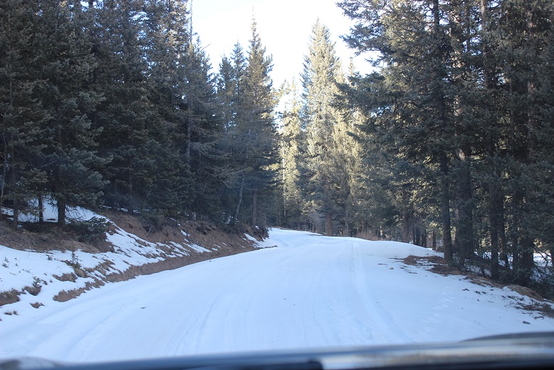
I used the Crags Trailhead. The gates were open but the 3 mile dirt road was covered in a layer of packed down snow.
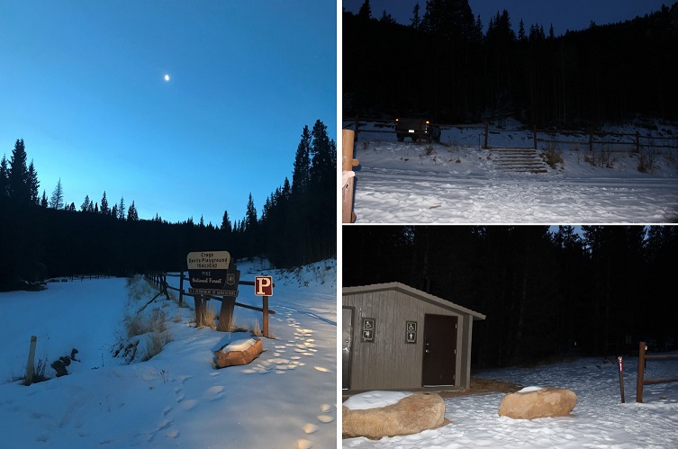
I arrived at 6:45am and was the only one in the parking lot. The bathrooms were locked (presumably for winter) so I got my gear together and started at 7am. It was 21*.
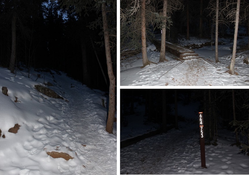
The trail was very well marked (I love that!). It was also easy to follow, even with the snow. It looked like someone had tried to cross country ski in the area. I’m pretty sure it didn’t end well.
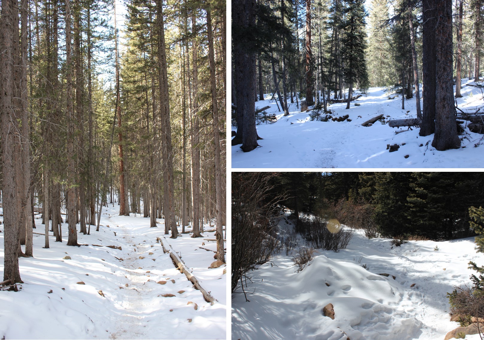
I took trail #664A for what seemed like forever before making it to treeline. I mean forever! The entire trail was covered in about 3-6 inches of packed snow (more in the drifts) and while I could hear the wind the trees blocked it from reaching me. It was slow going because the snow was a bit slippery and I had to watch each foot placement in the rocky areas. I had microspikes but didn’t use them because I didn’t think they’d make me any faster/more secure.
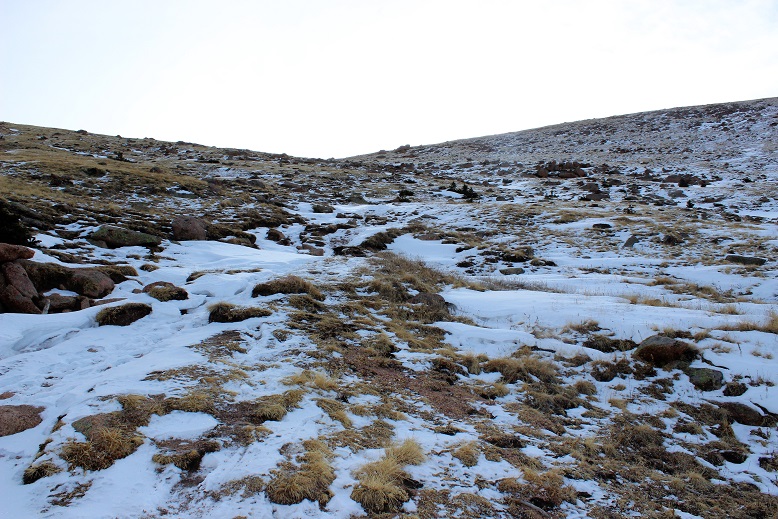
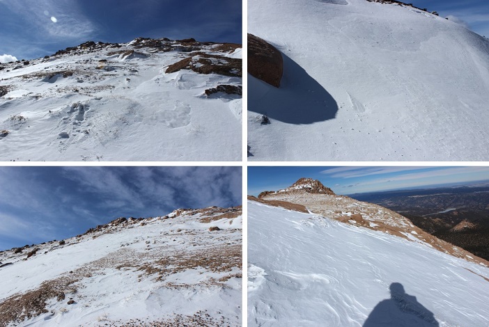
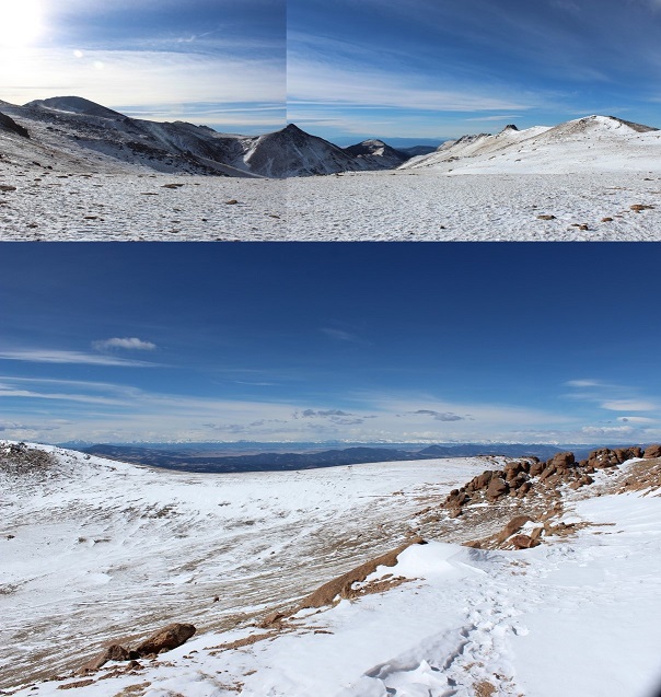
Here’s a photo of the trail as soon as you get above treeline: It’s straight up a mild, well maintained, snow covered drainage/gulley. This is where the temperature dropped and the wind picked up. It didn’t stop until I reached this point again on my way back down.
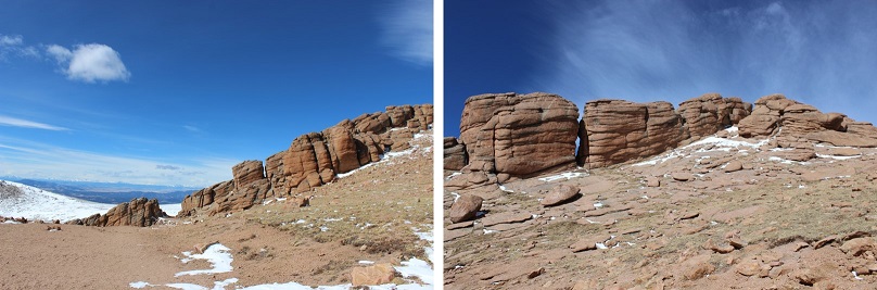
I continued hiking around some large rock formations and then areas of heavy snow.
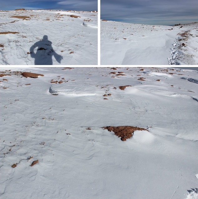
The snow was beautiful, and had a sound. I’d say it sounded like glitter, but since that’s not possible I’ll instead say it sounded like very small chards of glass bouncing off the floor. But to me it had the sound of glitter.
I wasn’t cold yet, but I wasn’t at a high elevation either. I was at 11,500 feet. Eventually I got to the Pikes Peak Highway. I crossed the road and this is where the wind really picked up. I could see it blowing from the west, up and over the ridge.
It was phenomenal to watch! I could see the wind as it ascended the basin, and follow it as it blew up and over the ridge. I knew when to brace myself for impact, which was important because it knocked me over a few times.
A scarf was necessary. The only place I was cold was where my skin was exposed (woot! High five for the jacket and gloves!). I had to tuck my scarf into my jacket because the wind kept causing it to unravel. Wind was probably 25mph here.
Devil’s Playground was dry of snow except for when the wind blew… It was about 15* here (without wind).
The trail following the Pikes Peak Highway was easy to follow because of the snow drifts. I either avoided them or sank into them and trudged on. I was miserable due to the wind, but I was doing this!!! Still not cold!
The highway was completely devoid of snow, and curiously there was someone with a plow going up and down the road. They stopped twice to watch me, presumably because I was CRAZY to be out hiking in this WIND. I figured they weren’t taking any chances with icy roads either in all this wind. This also told me they were opening up the summit house today. Woot!
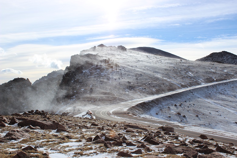
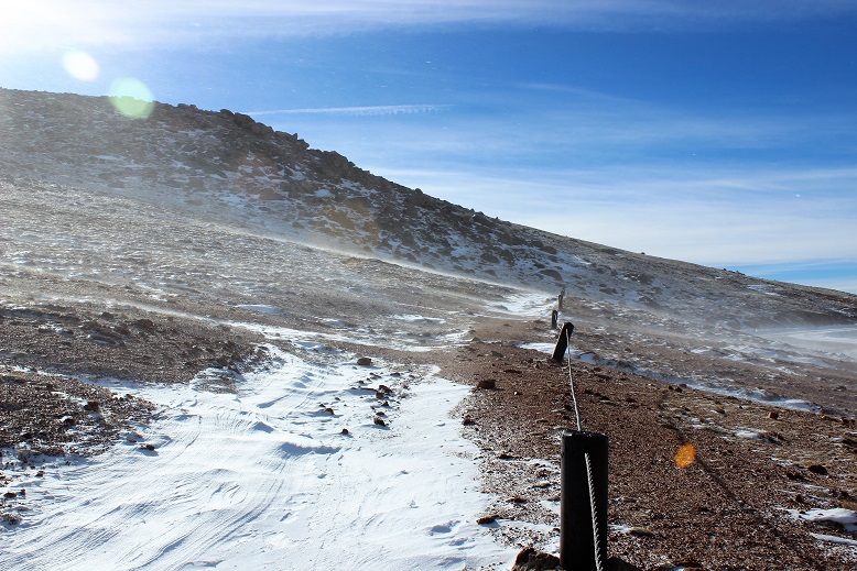
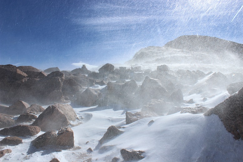
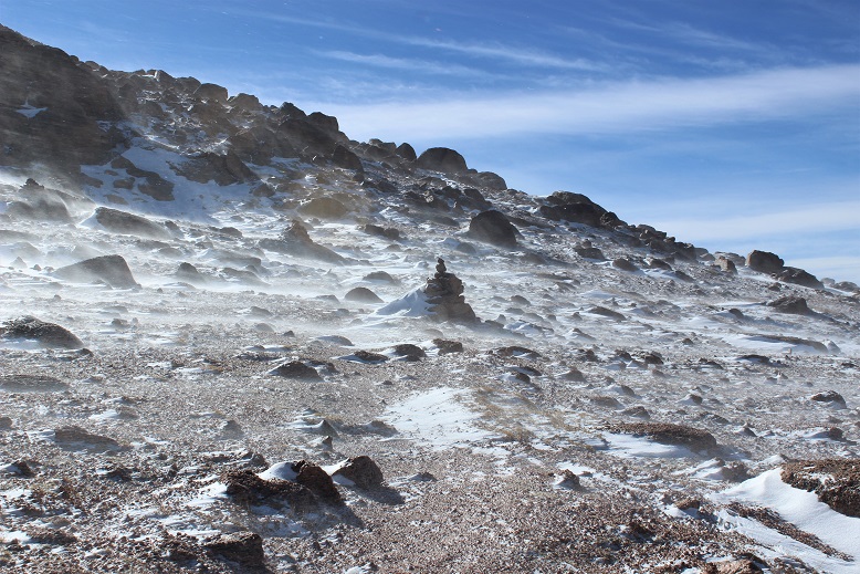
The pictures just don’t do this wind justice. It was intense and insane (and mostly invisible).
Here’s where the wind became intense for the first time. Gusts were about 55mph and sustained. I’d stand there for 30 seconds waiting for the ice intensity to pass. The wind made it cold, but not so cold I needed to stop.
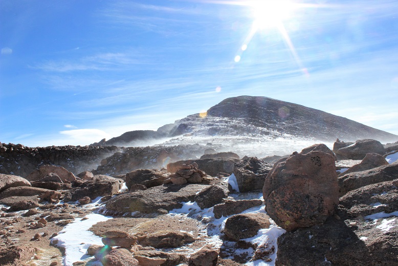
Here’s a view of Pikes Peak (center) and Little Pikes Peak (right). Little Pikes Peak was the reason I was taking this hike. There’s no path to the summit, so I’d have to just find a route and follow it. Here’s where I made my first mistake.
I was coming from the North, and could only see one side of the mountain. I picked a route that looked hikeable and followed it. I stopped to breathe for a bit and take in my surroundings and realized I’d almost hiked to a place I couldn’t hike down from! The snow was heavy, and I’d have to say if there’s any avalanche danger (yes, I know it’s small) it’d be here. This snow was loose and I was in a precarious position, jumping from rock to rock: If I missed one I’d be sliding for quite a ways! I quickly hiked back the way I’d come and decided to scout out a better route up.
I found a much drier route to the south and made it to the summit of Little Pikes Peak after falling through and hitting just a few small boulders hidden in the snow (no big deal, I kind of expected this to happen). Here’s a summit selfie of me trying to smile (my lips were frozen). Moral of this story… summit Little Pikes Peak from the South! That side had snow, but no where near as much as the north side (I know, common sense…)
I sat on the summit and looked at Pikes Peak. It was much closer than I’d assumed. It couldn’t be much more than a mile or a mile and a half away. I was intrigued. For some reason I really wanted to summit from this route. I’ve summited 35 peaks solo, but Pikes was my first summit and I did it with a group and on another route. I kind of wanted to be able to say I’d summited this peak solo as well. And I’d never done a winter 14er (several winter 13ers, but no 14er in winter). The only problem was I could tell the toughest weather was ahead of me. I knew the temperature would drop as I ascended, and that wind blowing snow looked insane! I was already cold (but not as cold as I’d anticipated). I hate regrets, so I decided to go for it: I could always turn back if it got too difficult, right?
I stashed my trekking pole and began the final push to the summit. I was right, this was the most difficult part of the hike: The temperature dropped and the wind picked up. Here’s what it looks like just as the wind and snow hits you at -10* and 55mph…
Unfortunately, the wind didn’t come in gusts: it just kept coming. I’d brace myself, look for a cairn, note its position, put my head down and trudge towards it with the wind blasting me from the front. It was miserable and slow going but I had a plan. And while I should have been a popsicle in this weather I wasn’t! This was doable!
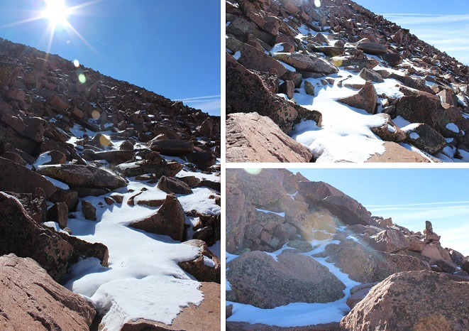
The cairns were extremely helpful since the route was covered in snow. I knew others must have hiked this trail in the past few days, but as I looked back at my tracks they were quickly covered by snow blown by wind just seconds after I’d passed. This meant I had to watch every step forward because I was kind of ‘breaking trail’ and didn’t know the best route. The rocks were slippery and again there were times I’d misjudge and my shin would get bruised from falling through snow and hitting rock. I thought about but didn’t use my microspikes yet again.
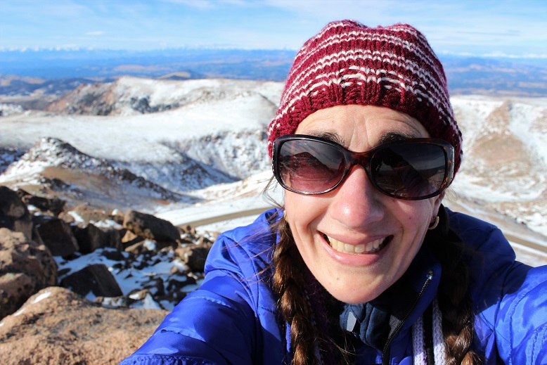
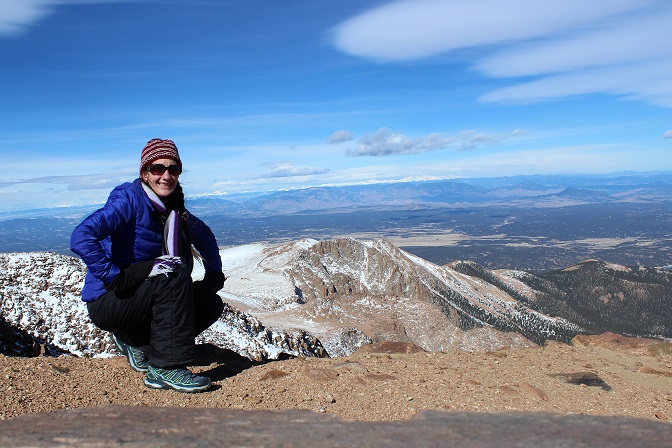
The wind didn’t stop, but as I gained the final pitch the ice and snow was taken out of the mix. This was a nice surprise! I summited at 11am. I still couldn’t feel my lips but was able to force an awkward smile for a summit selfie!
The summit was disappointingly dry for winter, but I’m pretty sure that’s normal for a summit (due to wind). Almost no one was there (3 cars in the parking lot?) so I walked across the parking lot and into the summit house. I briefly thought to myself it was cheating to go inside and get warm, but my water had frozen on the hike and I wanted a drink from the water fountain. The pipes had frozen in the summit house as well so I bought a Gatorade and immediately started feeling overheated. This was not good. It was way too hot in there and I was getting a headache. I had to get back down that mountain. I remarked to the cashier how I was shocked they were open today. Her reply told me she’s obviously had other plans besides work today and was surprised as well.
I met a group of three guys from Texas who’d driven to the top. They were impressed to hear I’d hiked up in this weather, and confused when I told them I was heading back down: “That’s the only way to get back to my truck”…
I bundled back up and headed outside. My path back down looked amazing.
The wind was constant during the hike back down, but the jacket and gloves had done their job: I still had full function of my fingers! Success!
The hike back down seemed much longer than the hike up. I kept thinking to myself it was crazy I’d hiked all this way straight up! I like elevation gain and tend to forget how much uphill I do on the way up until I’m on the way back down…
I marveled at the south side of Pikes Peak, and totally understand why they want to make this area into a ski area: It would totally work (if we forget about destroying tundra and wildlife).
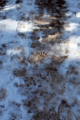
Just before making it back to the trailhead I noticed prints that looked like bear tracks. They were obviously not fresh, but I was pretty sure that’s what I was seeing and they’d been created within the past few weeks or so. Hmmm… it seems someone woke up early and hopefully went back to bed. This doesn’t surprise me, due to our unseasonably warm winter and the fact I was hiking near a campground.
The last 3 miles of the hike I was roasting. I wanted to take off my jacket but was too stubborn to stop, so instead I took off my hat, gloves, and scarf while I was hiking and just carried the items. I was curiously pleased I was so warm in 30* weather I was taking off accessories. I made it back down at 2:30pm, making this a 7.5 hour hike. Slow for me, but I blame the wind…
All in all today’s adventure was a total success! The weather was brutal but having the right gear made all the difference. I wasn’t nearly as miserable as I’d anticipated I’d be. I learned a lot about my abilities, did a reality check on things I already knew but ‘forgot’, and can now say I’ve hiked a winter 14er! Woot!
Note: This hike is difficult. The elevation gain is intense and the trail difficult to follow.
I’ve wanted to take this hike for years, but it starts at the Barr Trail parking lot, which has been having fee issues (as in $40 per day parking fee issues). There’s the incline lot that charges $5 for a maximum of 4 hours directly adjacent to the Barr lot, but I wasn’t 100% sure I could do the hike in 4 hours and the signs warning you’ll get towed if you stay there longer than 4 hours are daunting.
Today the forecast for the high country (anything over 12,000’) was 10-20 degree weather with wind gusts of 20-25mph (read feels like -5 degrees), so while it was beautiful outside, I wasn’t hiking any 13er or 14ers. It was a shame because it was such a beautiful day!
The weather in Colorado Springs was forecasted for high 50s-low 60s: it was just too good to pass up, so I did the math, and figured I could probably hike the 9 miles in 4 hours.
I made it to the trailhead at 6:51am and was hiking at 7am.
To get to the trailhead, you park at the incline lot, and then backtrack back to Ruxton Avenue and hike west through a street lined with houses, go left around the locked gate, and continue on the road until it comes to a dead end at a stream crossing. Cross the stream (on two separate bridges) and continue up the hill to the cog railway tracks.
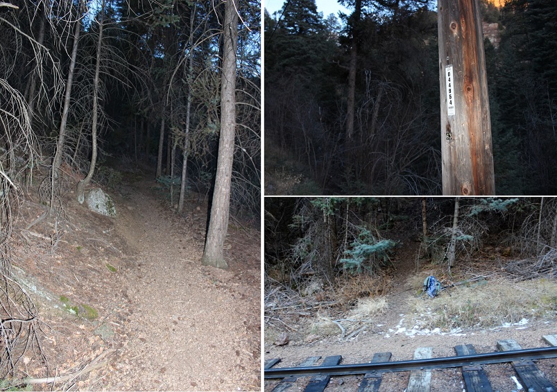
You aren’t supposed to hike along the tracks, but luckily after about 10 yards or less you’ll come upon utility pole 044954. Just before you reach the pole the trail starts to your left. It continues up the hillside, paralleling the tracks for a bit before turning southwest up the hill.
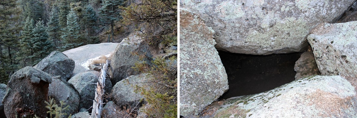
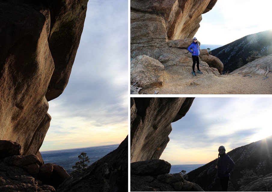
I came upon a really big boulder outcropping that looked like a camping spot. The boulders were positioned in such a way that if you descended the tunnel about 15 feet you were in a type of boulder-cave. It was surprisingly clean, and I may come back later to visit again.
The trail continued up, up, and up, with just a little bit of snow until I reached Magog Rock. This rock is gigantic! Pictures just don’t do it justice.
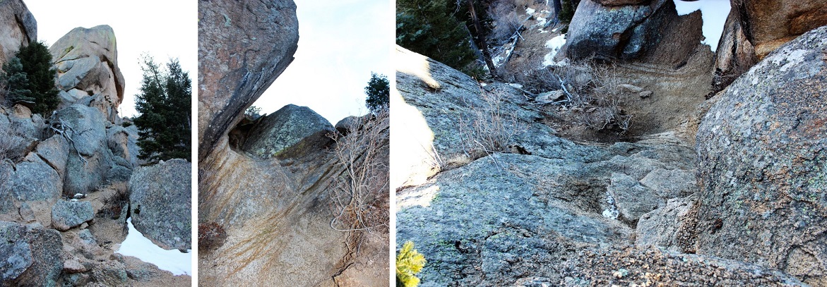
There was some easy class 3 scrambling that required all 4 limbs, but once I reached the top the views were great!
I followed the trail west and over a ridge. This ridge looked like an excellent place to camp in the summer!
After the ridge I reached Gog rock and passed it by hugging the rock to the left (Yes, the rocks were named after the Magog and Gog in Ezekiel and Revelations… check out your Bible for details).
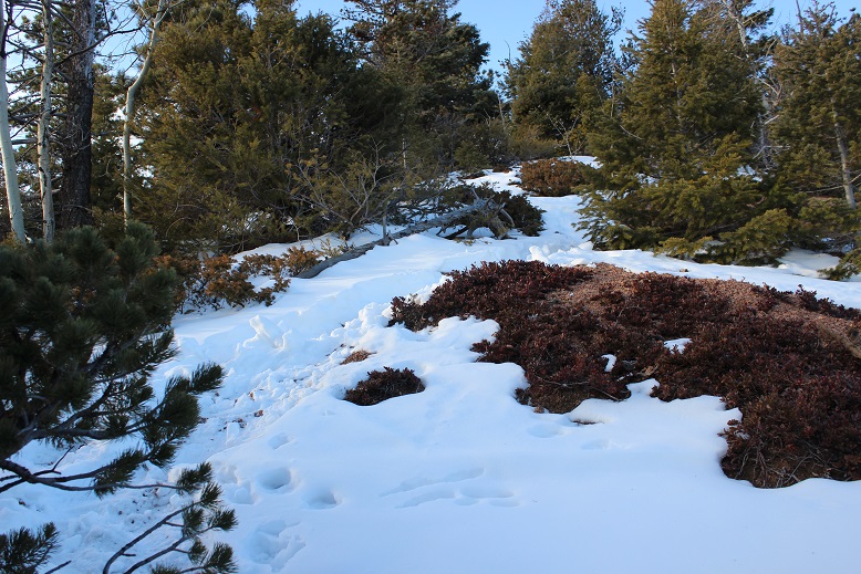
This is where the snow on the trail started picking up. It was over a foot deep in some places, and I could tell not many people hike this route, as I was breaking trail and it hasn’t snowed since last week. This was about the halfway point of the hike.
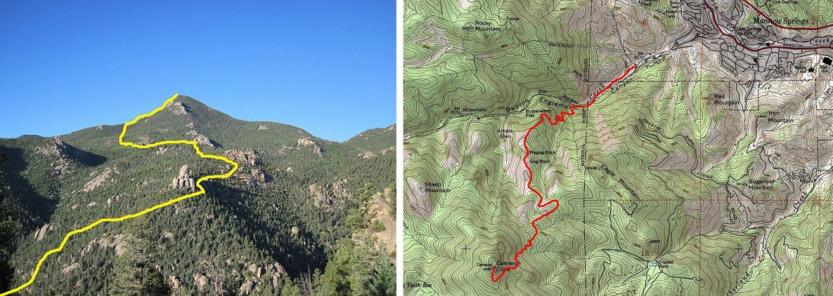
I passed a clearing that looked like another great place to camp, but also like it was an area that sees a lot of quads and motorcycles. It had a lot of open space, and a sign indicating I was crossing over into National Forest Land. Here I came upon a road and followed it for about half a mile. Unfortunately, the service road dropped in elevation (which meant I was going to have to make that up). I kept wondering if I was on the right path because it was taking me away from Cameron Cone, but I knew I was in the right area when I saw the Cameron Cone trail sign.
This is where the hike got difficult. There was quite a bit of snow on the trail, and the trail itself weaved in and out of the trees. If you’re not comfortable with a topo map and compass don’t continue any further: The trail kept taking me south, which I thought couldn’t be right (but it was) as it was taking me away from the summit. It turns out you need to summit from the South. The last mile or so of this hike is completely uphill with intense elevation gain: the mountain doesn’t relent, and by this point you’re already tired from the 3000+ feet in elevation gain you’ve already done. It was slow going with no clearly defined path and no clear view of the summit (since it’s treed).
I summitted at 9:31am: It had taken me 2.5 hours to hike 4235’ in elevation gain in 5 miles. Not bad, considering it was all uphill. I spent about 20 minutes on the treed summit taking pictures and enjoying the view.
I found the place where the summit marker should have been, and was upset to find someone had removed it. Summit markers are few and far between these days…
Now for the hike back down. The steep elevation meant I was slipping and sliding on all that snow on my downward trek. At times it felt as if I were skiing. Microspikes were not necessary, but snowshoes would have been useful. When I made it back to the Cameron Cone cutoff I had to take off my hiking boots and shake out all the snow and scree.
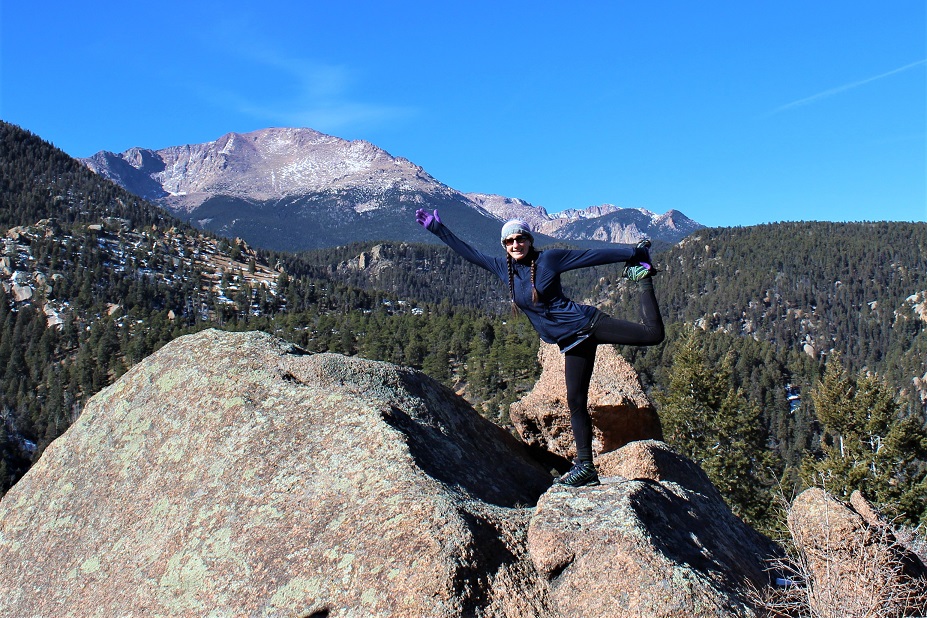
I made it back down to the Gog rock area and decided to do a bit of Yoga to stretch. I knew I should try to make it back down to the parking lot as quickly as possible, but I really wanted to enjoy this beautiful day (and see if they really would tow my truck if I wasn’t there on time… I had a feeling 30 minutes wouldn’t matter when there were less than 20 cars in a lot that would hold 200+).
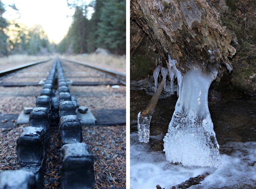
The rest of the hike was pleasant and uneventful. I crossed the cog tracks and the stream (beautifully frozen in February)
I made it back to my truck at 11:30am, which meant the 9 mile hike took me 4.5 hours to complete. And my truck was still there! Woot!
The last time I tried to summit this mountain I was unsuccessful (https://wildwandererlmc.wordpress.com/2017/12/09/north-cheyenne-canyon/ ) mainly because the trails had changed. The forest service had actually destroyed some trails, created new switchbacks and connections for others.
I met Tim at 7:30am and we drove the 13 miles of dirt that is Old Stage and Gold Camp Road. This time instead of hiking in through North Cheyenne Canyon and the 7 Falls trail we hiked in from Frosty’s Park.
It had snowed 3 days ago, but it was obvious no one had been in the area since. We were making the first tracks. There were a couple of frozen river crossings, but the Tundra did just fine.
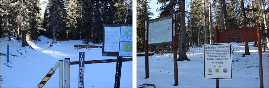
We started at the 701 Trailhead at 8:40am, intent on hiking to Runs-Down-Fast Mountain.
This trail too was undisturbed. It was really cool to be breaking trail in 2-4 inches of powdered snow!
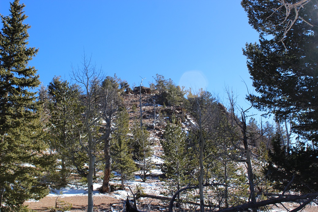
After hiking for about 2 miles we were able to see Runs-Down-Fast Mountain through the trees. Kind of. The area was densely treed and it was difficult to see any mountain, but we were pretty sure this was it.
There’s no trail to the summit, so we just headed north through 600 feet in elevation containing a lot of downed trees, boulders, brush, and snow. And the wind! It was insane! Gusts were supposed to be 55mph, with sustained 25-35mph winds. They weren’t kidding!
We reached a false summit and then continued on for about 20 more yards. The view from the top was lacking, as the summit was heavily treed at 11,048’
We walked around for a bit, and found an ok view from the north most part of the summit of Almagre. Pikes Peak was hidden in the clouds.
Since it was windy we didn’t stay long, but descended and once again found the 701 trail. I’d wanted to summit 2 or 3 more mountains, but with the recent snow the trails were hidden (or maybe they weren’t there at all?). We did see this plateau and decided it looked doable, so we headed up through the wind to its summit.
The slope up was all scree, but the good kind that is easy to find traction on. I tried to take a summit selfie but my camera kept getting knocked down by the wind!
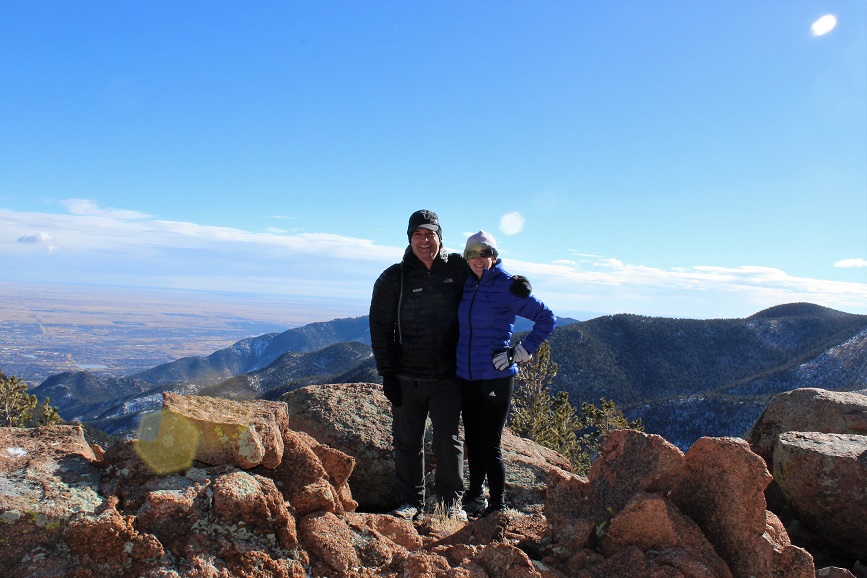
When Tim made it to the summit we tried again. The camera kept getting knocked around, but I think we got a pretty good shot!
The views were much better from this summit, even though it was about 600 feet lower than Runs Down Fast. This point has no name (or written elevation, but it’s 10,000+)
It was super windy here, so we headed back down to the trail again. I wanted to try and figure out where I’d gone wrong the last time I hiked this trail (I never did find Runs Down Fast last time) so we continued on the 701, looking for the 720. We hiked all the way to the 667 and never saw it, so we turned around and decided to look more carefully. Check it out! We found the destroyed trail! They’d ripped up perfectly healthy trees, roots and all, to try and hide the existing trail.
We followed the 720 for a while, but eventually hooked up with the 667 again, which brought us to the 668 and around. I was confused the entire time, mainly because we were below treeline and the route didn’t match my map. I was freezing by this point. It wasn’t lost on me we’d hiked in about 5 miles and would need to hike back 5 miles to get to the truck. My fingers were numb (but at least my feet were warm). The trail kept descending until it reached about 8500’ and followed the creek.
We hiked the 668 and Ring the Peak trail following the Cheyenne Creek. There was a lot of snow here too.
This is where the elevation started to climb rapidly. We’d descended about 2500’ and needed to make it up again to reach 10,500’ where the truck was parked. Most of that elevation gain was in about a mile and a half. We passed an old cabin
And for the last mile we followed Bobcat tracks! They were really neat to see, clearly marked in the snow, and proof of wildlife. Unfortunately they were headed in the direction opposite of where I was headed, but I was able to follow them almost the entire way back.
The elevation kept getting steeper, so Tim and I separated for the rest of the hike. He said he’d just follow my tracks in the snow. Right about now it started to snow again. Not a heavy snow, but more of a sprinkling of glitter in the air. The wind had died down. It was quiet, calm, and peaceful. I was no longer cold, as my body was producing heat from hiking harder up the hill.
Take a look at this photo: It’s a stream crossing. Under that 2 inches of snow is another 2 inches of solid ice, spread out for about 20 feet. It was incredibly slippery, so I traversed around it and up the hillside. The one part of ice I couldn’t avoid sent me skidding for a bit, but I maintained my balance.
I made it back to the trailhead at 2:04pm. I’d say the hike was about 10 miles, with 3500’ of elevation gain total (up and down and up again).
I’ve been eyeing this trail for weeks, and was finally able to make the hike! I don’t do well in the cold (or wind) so I’ve been looking for a relatively clear, wind free day. It’s been clear but the wind hasn’t cooperated, so instead of 14ers and 13ers I’ve been hiking 12ers, 11ers, 10ers, 9ers, and 8ers for the past month and a half: I needed to get above treeline again!!!
Today’s forecast at the summit was 38* with 15mph gusts, which I figured I could handle. I’d been keeping an eye on the Webcam, and the peak looked pretty barren from snow: http://www.keno.org/colorado_web_cams/cuchara_cams.htm (side note: If you use this link, know the best time to view for clarity is around 3pm, and the bottom webcam is only updated once a week, the others usually every half hour).
I found several directions to the trailhead, but none of them were ‘exactly’ correct. This is the exact route I took:
I25 South to Walsenburg, Exit 50 (the second 160) turn right
Continue on 160 for about 13 miles
Turn Left onto CO12
Continue on CO12 for 21.8 miles
Turn Left at Cordova Pass CR46
The trailhead is exactly 6 miles on the road, near the campground
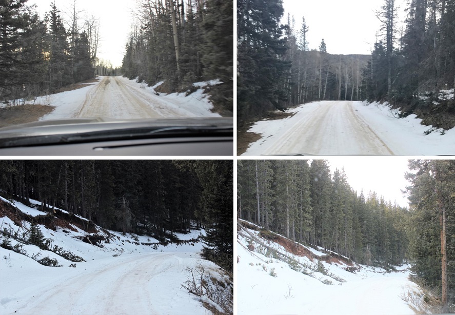
The road in was a 2WD road, but iced over in a lot of areas, making it an easy 4WD road for this point in the year. Just be careful: there are 3-foot-deep drainages on either side of the road filled with snow so they look like they’re level with the road (but they’re not), and driving into one of those isn’t fun to get out of, even with a 4WD. It was obvious many had made this mistake.
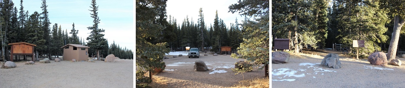
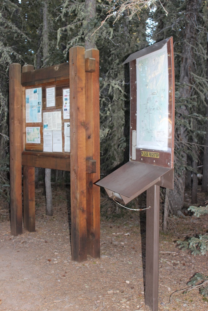
The trailhead is the West Peak Trailhead. I parked here. There are restrooms but they’re locked. I was told to pay a fee, but all signage and fee envelopes (etc.) were gone, presumably closed for the winter. I gathered my gear and started on the trail at 8am.
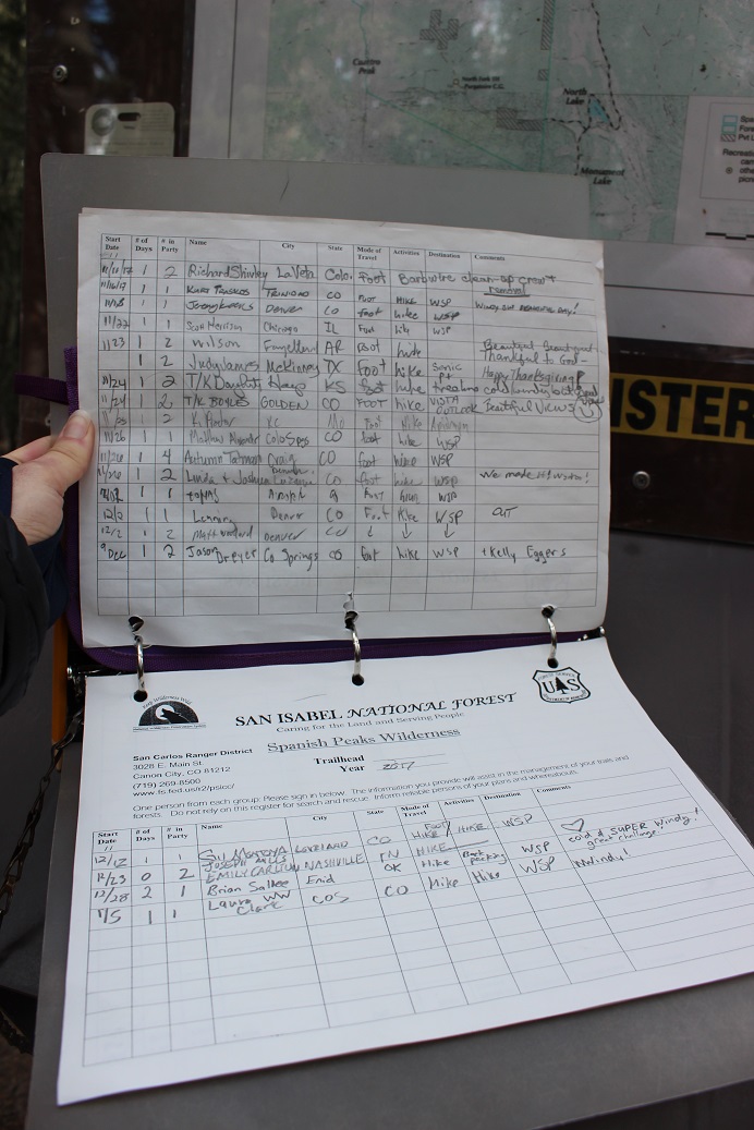
A few yards in I came upon a trail register. The last entry was from December 28. I was pretty sure I wouldn’t seen anyone else on the trail today.
I hiked for about a quarter mile before coming to a meadow. I’d seen quite a bit of cow patties along the trail up to this point, and figured there were cattle in the area. When I reached this meadow I thought I saw cows on the saddle ahead of me. I made a mental note to look out for them, and stopped to put on my gloves and hat because I could hear the wind picking up. The wind didn’t stop for the entire hike!
What I thought were cows ended up being bighorn sheep! So cool! They were a bit skittish and ran up and over the hill as soon as they saw me.
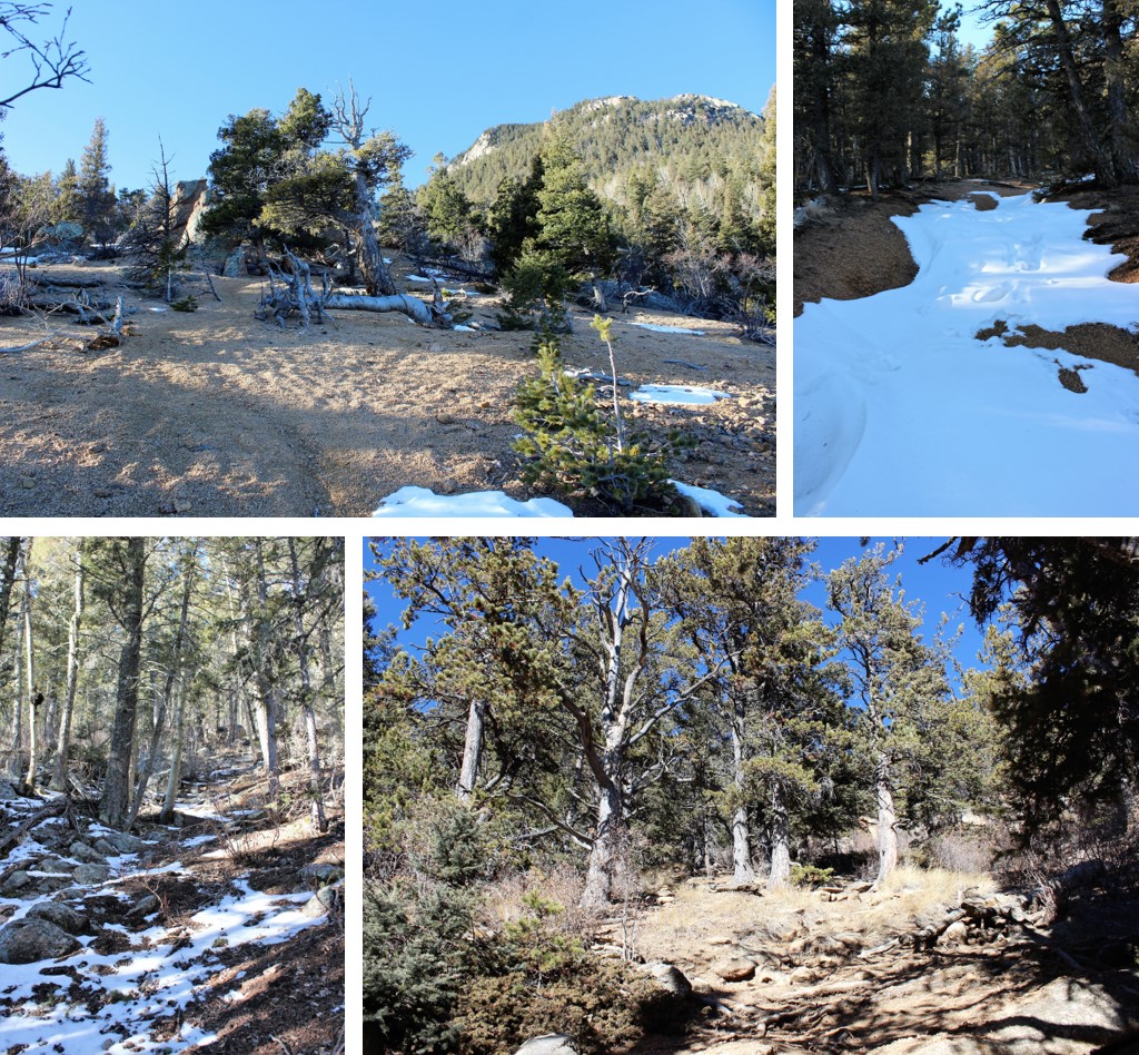
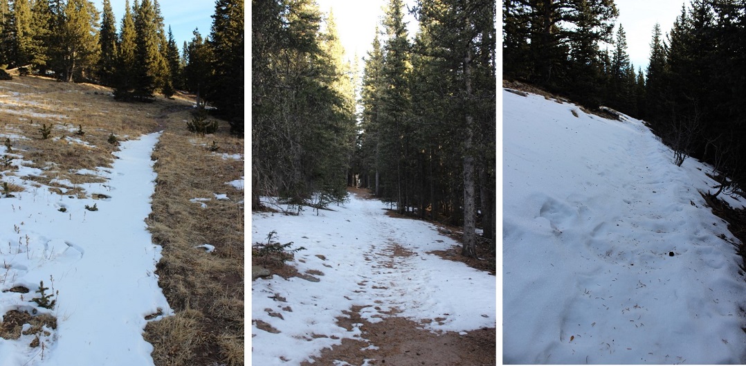
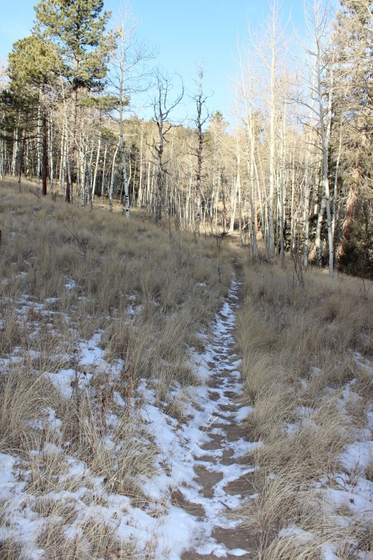
When I’d entered the meadow I thought I was out of the treeline, but the trail dipped back down and I walked for about 2 more miles through the trees. Most of the path was clear, but there were a few snow covered areas.
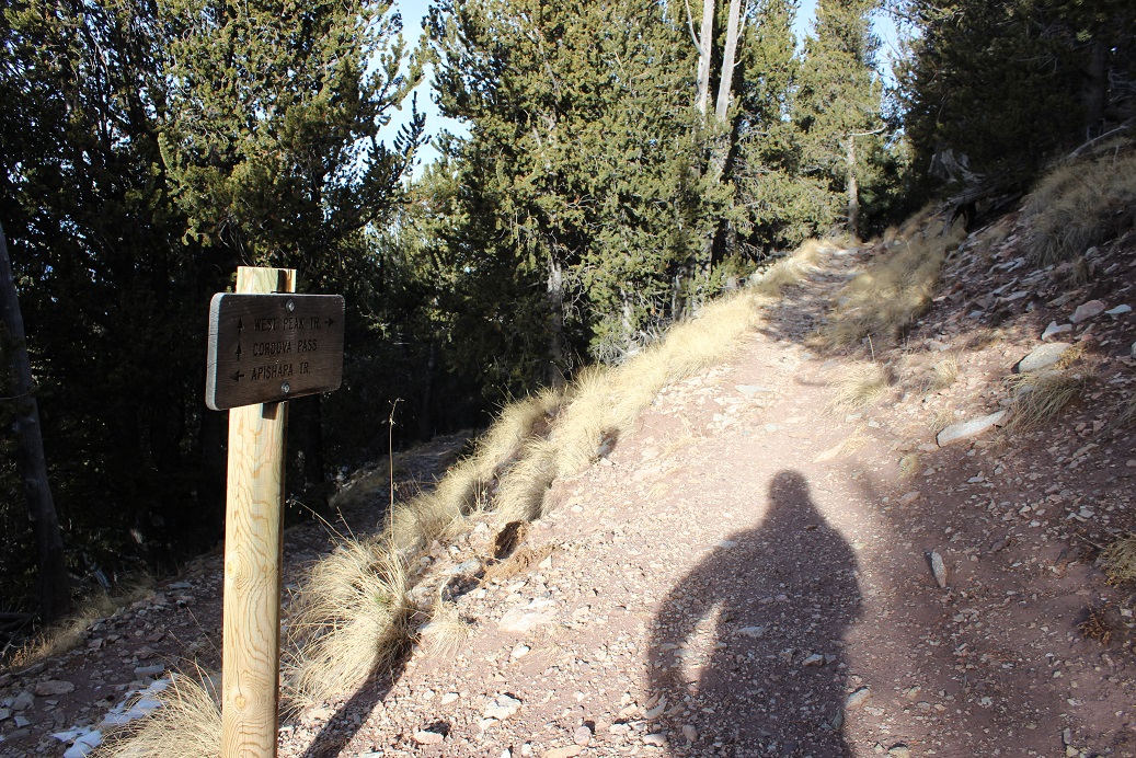
This trail is super easy to follow the entire way to the summit. There’s only one trail junction, and it’s clearly marked.
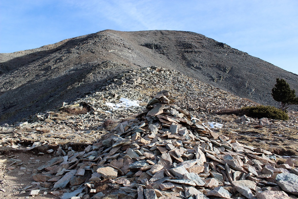
The trail is also very easy until you get to treeline, but make no mistake, most of those 2000+ feet in elevation occur during the last mile of this hike, so it is still quite a workout. Once you hit treeline you turn right and see what’s ahead of you:
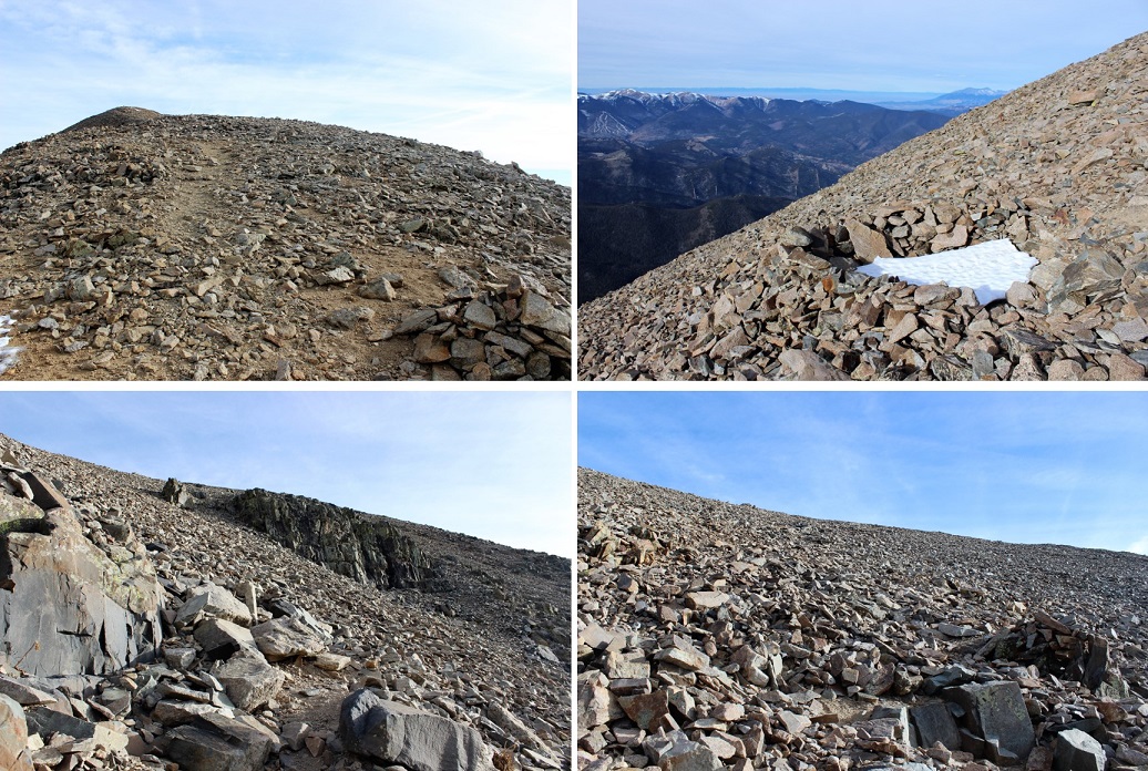
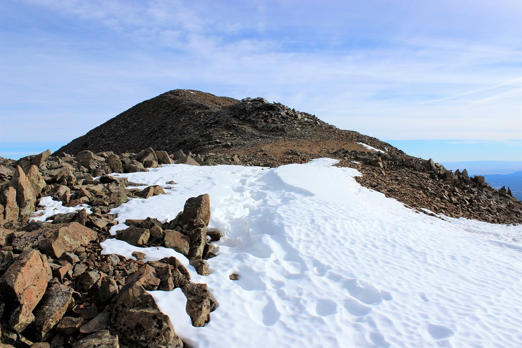
The trail follows the ridge on the left (but stay to the right while on the ridge). It’s all loose rock until it becomes scree, and it’s straight up for over a mile. Since there are so many rocks there are tons of cairns and the route is easy to follow. About halfway up I saw a small wind break made out of rocks, which was filled with snow. There was no other snow on the mountainside.
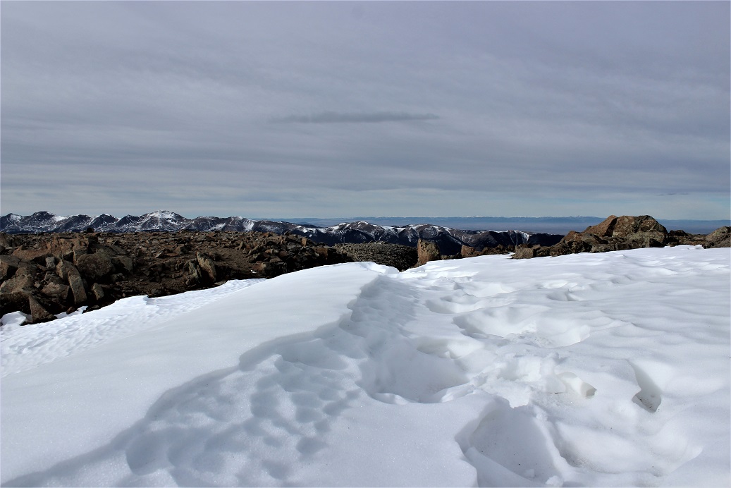
After hiking for what seems like forever you’ll come to a false summit, but it’s ok to be happy about it because the rest of the trail is very easy and is only about another 100 yards or so. This was also the only spot I saw snow above treeline (besides in that small shelter).
I was able to make that little bit of snow look like a lot of snow…
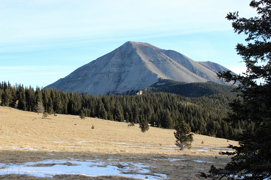
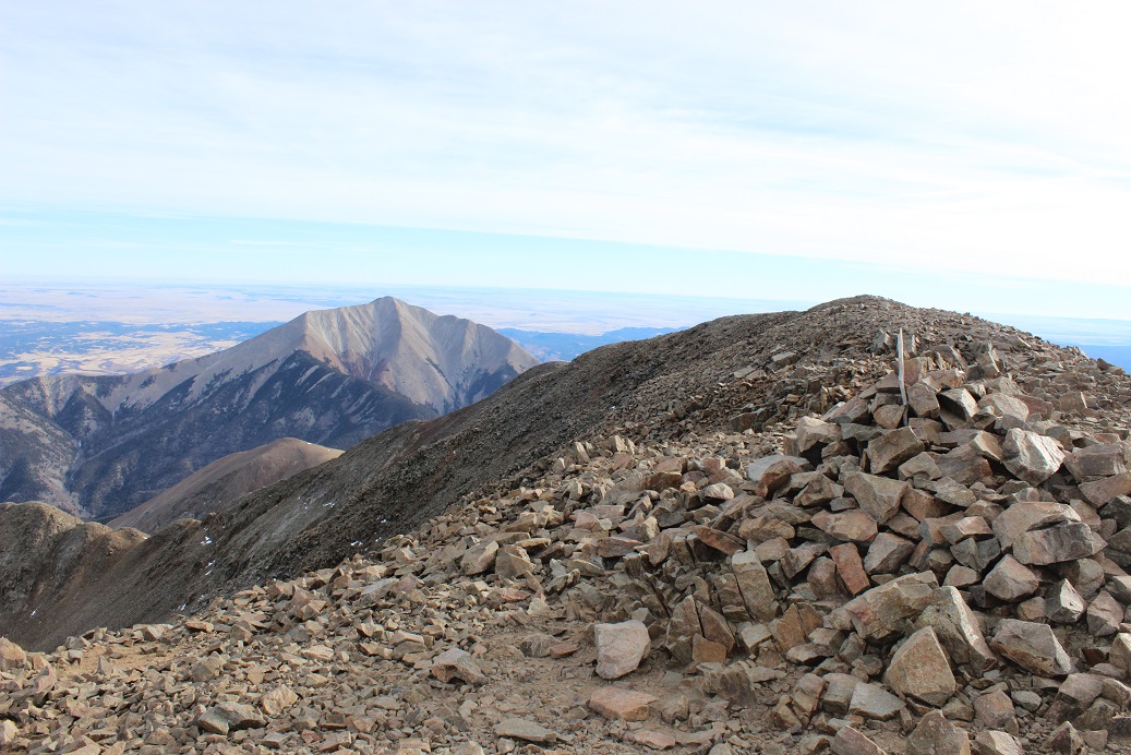
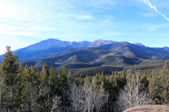
Here’s a view of East Spanish Peak from the summit of West Spanish Peak
And photo proof I summited. I started at 8am and summited at 9:45am.
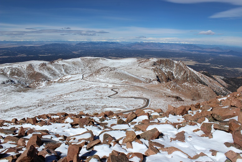
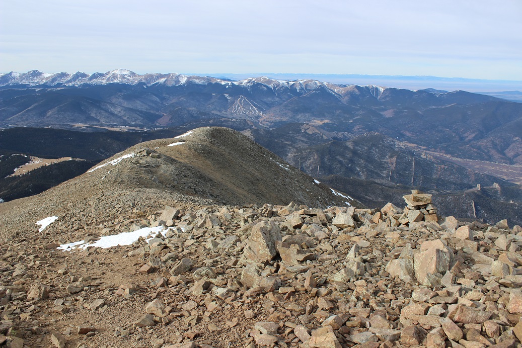
The summit was very windy and cold. The weather predicted 38* with 15mph wind gusts, but those winds were actually closer to 20mph and sustained. I didn’t spend much time on the summit before heading down. Here’s a view of the ridge back down. Crazy huh? It’s January 5th and there’s no snow!!! Check out those dry ski runs…
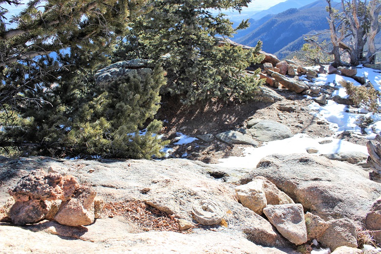
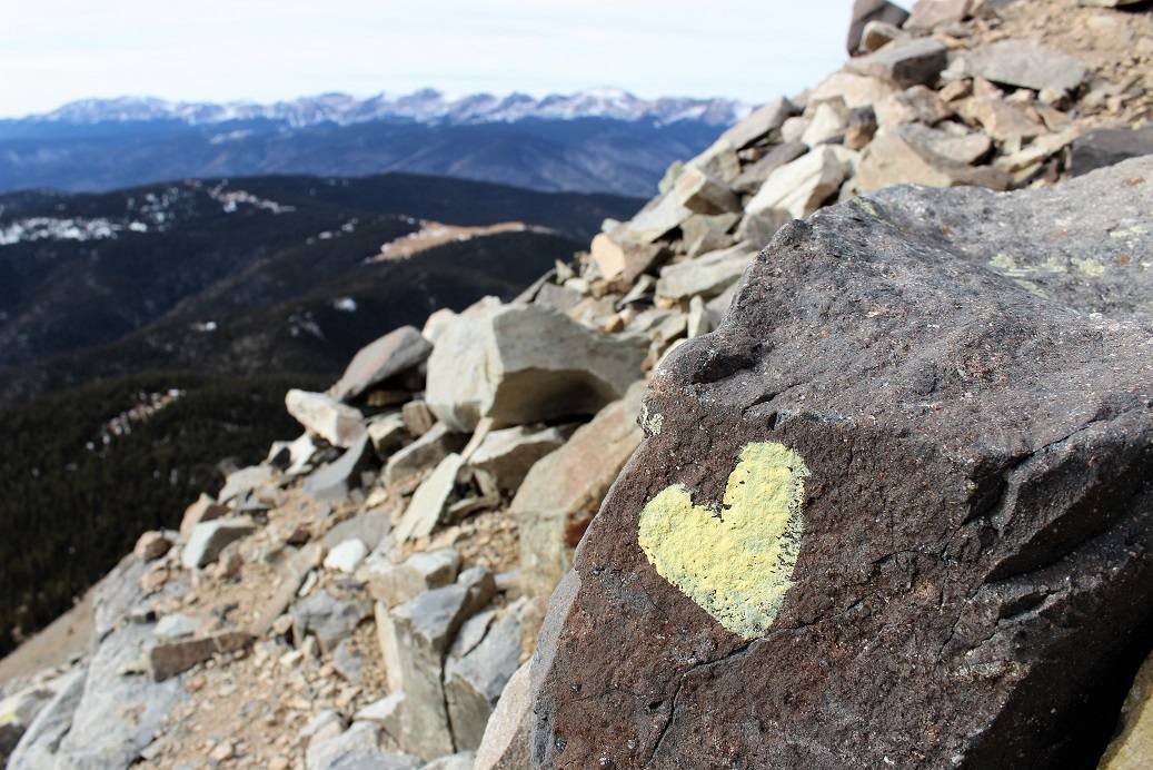
About halfway down I noticed a very small heart on a rock. It was less than 2 inches in diameter, and randomly caught my eye. At first I thought it was moss, but upon closer inspection noticed someone had painted it on the rock. I have no idea why they did this, or why they chose this particular area: it wasn’t on the main trail and it wasn’t very visible. It made me happy to see it, and I took a picture of it before reminding myself LNT. So, to the person who painted this, it made me happy, but it’s really not cool to do this stuff so please don’t do it again.
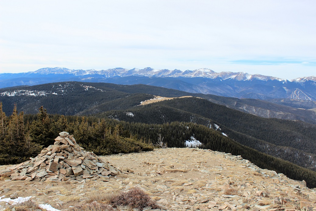
Here’s a photo of what it looks like when you get to treeline. See that meadow in the middle? That’s the one that I crossed that had the Bighorn Sheep. The entire hike above treeline I kept that meadow in view in case I got lost (although this is such an easy, well maintained trail I didn’t foresee that happening).
The hike back down went quickly. When I reached the meadow again I looked for those sheep but didn’t see them. Well, that is until I’d made it all the way across. At that point I looked back and saw them about 100 yards away from me. Never one to miss an opportunity, I backtracked and tried to get a few photos. The wind was blowing towards me so I was able to sneak up on them pretty close before they saw me. By pretty close I mean about 15 yards away. I stood in the shade of a tree and tried to get photos of them before they noticed me and ran off (about 3 seconds).
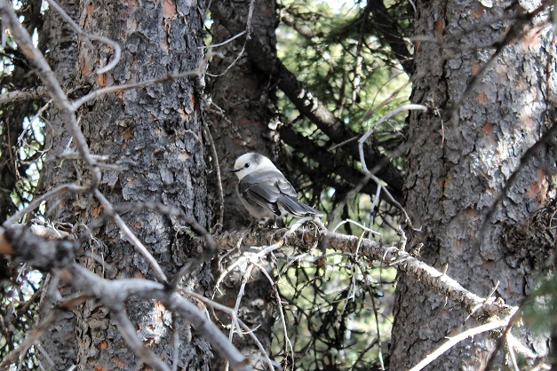
I continued on, and during the last part of the hike I actually saw a pair of birds. They were about 10 inches long, much bigger than this picture suggests (I still need to identify them…)
I made it back to the trail register and signed out.
I reached my truck at 11:40am. I hadn’t seen another person on this trail. It’s funny how it usually takes me longer to hike down than hike up: must be all that elevation training I do everyday…lol!
While there are a few twists and turns through the back
roads of Chipita Park to get there, this hike has a very obvious trailhead but
very little parking. I had to drive a
quarter mile down the road to find a driveway to turn around at so I could park
my truck alongside the dirt road.
The first 1.3 miles of the trail begins with some steady
elevation gain and a lot of switchbacks.
I noticed as I was hiking there had been a lot of tree clearing/cutting/trimming
lately. I saw dozens, if not a hundred
of these piles lining the trial.
Once you arrive at the top of the switchbacks you come to a
nice meadow and a trail junction. Stay
right at the junction. I state this
because many people have told me they mistakenly went left, which takes you on
a long loop to nowhere. (OK, it goes somewhere,
but not directly: you’ll need a topo map
as there are several possible trails you can take, leading in many different
directions: just go right).
After crossing the meadow and a very small trickle of a
stream you enter an aspen grove
and then start following a forest road. While I was hiking here I heard the loud
rustle of feathers ahead of me, looked up, and saw 2 ptarmigans jump/glide from
the forest floor to the top of a pine tree.
I was able to get a picture (and video) of them, but didn’t want to
disturb them so I didn’t stay long/didn’t get great photos.
The forest road starts to follow power lines from this point
on.
This forest road will take you all the way to the Crystal
Creek Reservoir, but what fun is that? I
looked at my topo map, and figured the power lines were a straight shot to
where I wanted to go, while the road twisted and turned but eventually ended up
in the same place. It’s part of the Ring
the Peak trail system, which they made wide enough here to accommodate 4
wheelers. I’d rather hike. So I turned left and followed the faint trail
under the power lines (hey, there was little chance I could get lost this way,
right?)
Once I reached a saddle I could see the Crystal Creek
Reservoir, so I knew Mt. Esther must be to my left.
Quite a bit of tree maintenance had been done here as
well.
My directions told me to look for a cairn indicating a faint
trail, but there was no cairn, and no trail.
So I turned south and just headed towards the summit. This is what it looked like:
I headed south and up the mountain for about a third of a
mile before reaching a boulder filled summit with great views of the reservoir!
I had fun bouldering a bit (and jumping from rock to rock where
feasible). I took a few summit selfies
to prove I’d made it, one with a view of Pikes Peak and another of the Crystal
Reservoir (which I’ve taken a paddle boat out in with the kids! Fun!)
Pikes Peak looked beautiful today, as it does just about
every day
This was a fun, quick hike (7 miles in 3 hours including
stops to watch the Ptarmigan and boulder for a bit). I’ve heard it described as ‘difficult’, but I
think that’s exaggerating a bit. Yes,
the initial mile of switchbacks probably would turn many away, as well as the route-finding
at the end if you intend to summit Mt. Esther, but the hike itself is quite
pleasant and easy to follow!
7 miles
1500’ Elevation gain
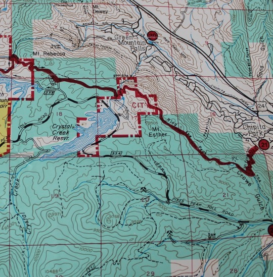
I followed the red Ring the Peak route, and then kind of made my own trail. This topo shows where the trail should be. I followed this, even though there was no actual trail off the Ring the Peak trail.
I’ve wanted to take this trail for a long time, but I’ve put
it off because I was working on hiking in another area. The forecast was really cold for last night,
but by 9am this morning the area was supposed to be about 35 degrees, increasing
to 46 by noon. Imagine my dismay when I
left my house at 45 degrees, and headed to the trailhead, watching the
thermometer drop to as low as 16 degrees before settling at around 21 degrees
at the trailhead. I bundled up in my hat,
gloves, and coat, and headed out.
I parked at the Heizer Trailhead, and for updated
information, you can no longer park near the “Snow Plow Turn Around”
signs. You must park about 800 feet
below the trailhead, directly next to the park. There are about 3 available spaces, so plan accordingly.
Once you hike up the single lane road you’ll clearly be able
to see the beginning of the trail.
The trail quickly gains in elevation, with tons of pretty
steep and relatively short switchbacks that continue for just under 3 miles. There
are several game trails that veer off at most of the switchback junctions, but
you can tell they’re not part of the trail because about 3 feet up the branches
cover the path. It could get confusing in
the dark however.
At about 2.5 miles you’ll come upon a large boulder
area. I stopped here for a bit to play, and
then continued on to the left. Cascade
Mountain is another half mile.
The true summit of Cascade Mountain can be difficult to
find, as there are two areas with large boulders very close to each other. I did some climbing and made the “summit”.
Most of the hikes in the Pikes Peak region have great views
of Pikes Peak. This was no different,
but included an angle I hadn’t seen before.
I wasn’t just interested in summiting Cascade Mountain
today, but also in learning more about the trail system. I know the Heizer Trail connects with the
Barr Trail below Barr Camp, which makes it another way to summit Pikes Peak
without paying $40 a night to park at Barr Trail. It adds 6 miles round trip, but takes you through
an area not often hiked. I didn’t intend
to hike all the way to Barr Camp but I desperately WANTED to, my time limitations
just didn’t allow it today. My goal
today was to find the connecting routes that would eventually take me to Barr
Camp. They were much easier than
anticipated! Check out these signs:
It was still early, so I decided to follow the trail for a
bit to see how established it was. The trail
was very well marked, which is great because I plan to hike it in the
dark. At this point the trail was
heading down the mountain toward the Manitou Reservoir, and I stopped to take
out my map. Check it out! I was near another peak! I decided to summit and take a look around. This ‘peak’ has no name, it’s just referred
to as point 9298’
The summit didn’t offer very good views… but I could make
out Manitou Reservoir
At this point I decided to turn back. I really wanted to continue on, but it was
obvious the trail headed down for quite a bit and I wasn’t interested in making
up the elevation on the way back.
Normally I would be, but today I was pressed for time. I was happy with today’s progress and started
the hike back the way I’d come.
When I got to Cascade Mountain I got a different view of the
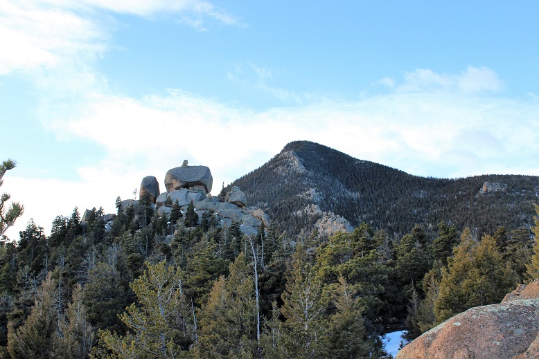
area, and saw this really cool rock balancing between two boulders! What fun!
Here is a sloppily put together panorama of the hike back to
Cascade. You can see the devastation
from the Waldo Canyon Fire, and the North Pole.
Here’s the route I took today. It ended up being about 6.5 miles, with 2800’
of elevation gain.
Oh, and for those of you studying the map, you take the 638
to Barr Camp…
I was a little worried it would be too cold to hike
today.When I got to the trailhead it
was 21 degrees.Brrrr!I met Tim at the Starsmore Discovery Center
and we drove up to the trail head at Gold Camp Road and High Drive.
We hiked up Gold Camp Road, past the old tunnel.Tim told me they’d wanted to put a road
through the tunnel, but someone decided to light a huge fire under the tunnel,
making it unstable for that purpose. Hikers…lol!
This trail had plenty of signs, although some of them looked
like they’d been there for decades (the iron signs).A few were misleading (the iron ones seem to
be at junctions and are usually devoid of arrows) but this one had “Turn Back”
written in Sharpee, which was actually the correct thing to do.
The trail to the falls was easy to follow and devoid of snow
directly on the trail (but there was a lot on the ground).The falls themselves were completely frozen
over and very slippery, so we couldn’t cross.
Instead we hiked around them to the right as far as we
could.
Side note:We saw
someone with their dog off leash that shouldn’t have been:the dog ran away, and kept running and
running and running.We’re not sure if
he ever found the pup?Also, it was
cold, but not too bad.Our jackets and
hats and gloves were plenty.
We hiked back to the truck, but it had seemed like ‘too easy’
of a hike, so we decided to take a side trip to Cascade Falls.It’s located very close to Helen Hunt falls,
and is supposed to be a great place to ice climb in winter.There were a few climbers there when we got
there (Tim knew them).Apparently it
wasn’t iced over as well as they’d have liked, but were climbing anyway.
It was cool to see the way the ice formed over the rooster
tail
My directions said this was a 6.5 mile round trip, with 1000
feet in elevation gain and some route finding.
Wrong. Wrong. Wrong!!!
You see, the problem with hiking routes that aren’t hiked
often is you often times need to rely on just one person’s post about the area
because no one else has given any information.
Because this was supposed to be a relatively short hike I woke up at
5am, ran 5 miles on the treadmill, did an hour of yoga, and was on my way.
I looked at how much gas I had: just less than half a tank, and since I was
only going about 30 miles I figured this would be plenty. To get there I needed to take Old Stage Road
for 19.6 miles, which took a lot longer than I’d anticipated: This is a 2wd dirt road normally, turned 4wd
in the winter, but there were a lot of turns and I never went more than 15mph
because it was iced over.
I watched my gas gauge quickly and steadily drop and started
to get concerned I’d get stuck out there, 20 miles off a dirt road, out of
gas. I mentally gave myself a point on the
gas gauge of no return and kept driving towards the trailhead. If worse came to worse I’d hike an extra 5
miles of so to take this hike… it wasn’t that long anyway. I turned right onto forest road 376 and went
for another 3.2 miles to the trailhead at the junction of a locked gate/dead
end and Forest Road 379 (which is part of the ring the peak trail and also the
part that still needs to be worked on, depending on which way you turn).
I was the only car there as I grabbed my gear and headed
east up the 379 at 9am.
This part of the trail was quite steep, and since it’d
snowed recently quite slippery. I didn’t
put on my microspikes, but I did use my trekking pole quite a bit.
I was told to hike to a small meadow and turn left. So I did and the trail went nowhere. I was supposed to be heading towards a
saddle, but the trees were too tall for me to see the saddle. Just for reference, DO NOT TURN LEFT HERE:
I backtracked and looked at my map and the area around
me. I was near the microwave tower, and
I could find where I was on my map. I
could tell by looking at my map the road I went on continued all the way to the
summit of the microwave tower and continued on to Almagre. This was not how I wanted to summit, but I
wasn’t ready to give up yet, so I continued on the road. Eventually I came to a rather large meadow.
I realized this must have been the meadow they meant in my
directions, and headed west, looking for that saddle. At the very northwest part of the trail I
noticed another trail, and took that a short distance to a hold in the fence
Now I was getting somewhere!
This vaguely went along with my directions, and I was following my map,
so I continued up the saddle. This was
no walk in the park! The picture below
doesn’t do that scree justice! It was
steep and slippery and much larger in real life (steeper too)
I made it to the top of the saddle and looked for that trail
that was supposed to be so obvious: It
wasn’t there. I’m blaming the snow, but
no worries, as that didn’t stop me. I
could see the microwave tower, as well as the route to get there, and decided
to just head towards that so I could get in some route-finding.
I headed east, and for some reason this easy hike became
difficult. I haven’t been above treeline
in a month and a half, and my body seems to have forgotten how to breathe! Yes, it was a steep slope and physically
challenging, but this was difficult! I
was sweating up a storm in 30 degree weather.
My calves and shins were screaming.
I kept going.
About here it became difficult to breathe. I hadn’t tied my
hair back so it was a bit unruly, but I figured I’d fix it at the summit. I just got mad at myself for being tired so
quickly and continued onwards. Woohoo! I could finally see the microwave tower
again!
This gave me hope, and pretty soon I summited to a much
larger microwave tower than anticipated!
The views were absolutely amazing! I dropped my bag and took a few pictures
I wanted to take a summit photo to prove I’d made it, and
reached into my bag to get my hairbrush and hat. Unfortunately, both were left on the front
seat of my truck. Drat! Oh well, summit hair don’t care! I was just lucky it wasn’t windy today…
I got my gear back together and looked at the route before
me:
I took a look at my topo map and realized I had two
options: I could hike the ridge to
Almagre or the trail down to the Stratton Reservoir, and then back up
Almagre. It looked like there was snow
either way, but experience has told me rocks mean ice, so I decided to take the
road. My immediate views of Colorado Springs
were amazing!
I’m not sure this was in the end the best choice, as it was
covered in snow. It was kind of cool
seeing all the animal tracks though!
I rounded a corner and could see both Pikes Peak and Almagre
and thought it was the most amazing view ever!
I kept going and could see the rest of the route before
me: Stratton Reservoir (or what’s left
of it) on the left, and the road to the right.
I made it to the reservoir and saw this… I’m not sure what
it is, but it’s obviously not put there as a shelter from lightning…
I crossed the reservoir and headed north
This is where the snow completely covered the trail, but
only enough to get inside my hiking boots.
I was continuously hiking through about 6 inches of snow, but it was up
to 3 feet in areas.
The trail rounded the mountains, and pretty soon I could see
Almagre in front of me. The trail up to the summit covered in snow…
The summit was worth slogging through all that snow! I had a grand view of Pikes Peak, and an
answer to ‘what it was and how to get to that patch of green land I can see
from A-frame’. I’ve been wondering that for years, and today I had my answer! It was Almagre! Awesome!
Now I need to spend the night at A-frame again so I can appreciate it
once more with new knowledge.
I took some pictures to prove I’d summited (once again, summit
hair, don’t care) and headed back down.
Here’s a video of the summit view:
I could have taken the ridge back to the microwave tower and
back down, or any number of routes, but I didn’t feel like summiting again, and
I wanted to see where the road led. Maps are all well and good, but nothing is
as good as visually seeing the trail, as well as the mountains before me. I’d hiked most of them in the past month, and
wanted to see them from this angle. So
when I made it back to the reservoir As
I was hiking here I saw someone hiking up the trail, towards the Microwave
tower. I’m not sure which route he’d
taken because I never saw his footprints. I’m assuming he climbed over from the
west side of the reservoir.
I headed east along a trail that quickly took me to a locked
gate (easily avoided).
From here on out the rest of the trail was lined with 6
inches of snow.
I need new hiking boots (mine have holes) so this was
particularly miserable for 2 reasons:
Sand and rocks getting inside my shoes and snow keeping them wet. At this point I wished I’d brought
gaiters. Microspikes wouldn’t have
helped, floatation would have been nice, but gaiters would have solved a lot of
problems.
The trail back down was slow because of the snow: I kept slipping.
I followed the 379A and had some off roaders in modified
jeeps pass me. I eventually caught up to
them when they were on a break. One guy
asked me “You hiking the ring?” and to save time I told him “Yes! It’s a beautiful day for it!” and continued
on. Hey, I WAS on the Ring the Peak trail,
so I wasn’t lying (I just didn’t want to stop for conversation).
It seemed like it took forever to take this route! It felt like it took twice as long, and it should
have been faster as I was hiking downhill.
However, I eventually made it to the High Park area, and found a trail
that I’m assuming goes to point 12,225’.
I’m going to need to come back and try that one! But not today, because it was probably
getting late… I made it back to the meadow
that has the turnoff for Microwave Tower and noted with a picture the correct
trail to take
Now I was back on the loop, and hiked the mile and a half
back down to mu truck. When I got there
my truck had made a friend! This must be
the truck from the guy I saw at the reservoir.
In any event, here’s the route I took:
I made it back to my truck at 2:30pm. I’m guessing I hiked about 10-12 miles in 5.5
hours. I did the elevation gain when I got back, and it was 3000’ in elevation
gain with all the ups and downs and double summits.
Oh, and my truck made it out just fine (and all the way
home) without needing to stop for gas.
Woot!